







Flumserberg - panoramic bike no. 470

Poziom trudności: S1
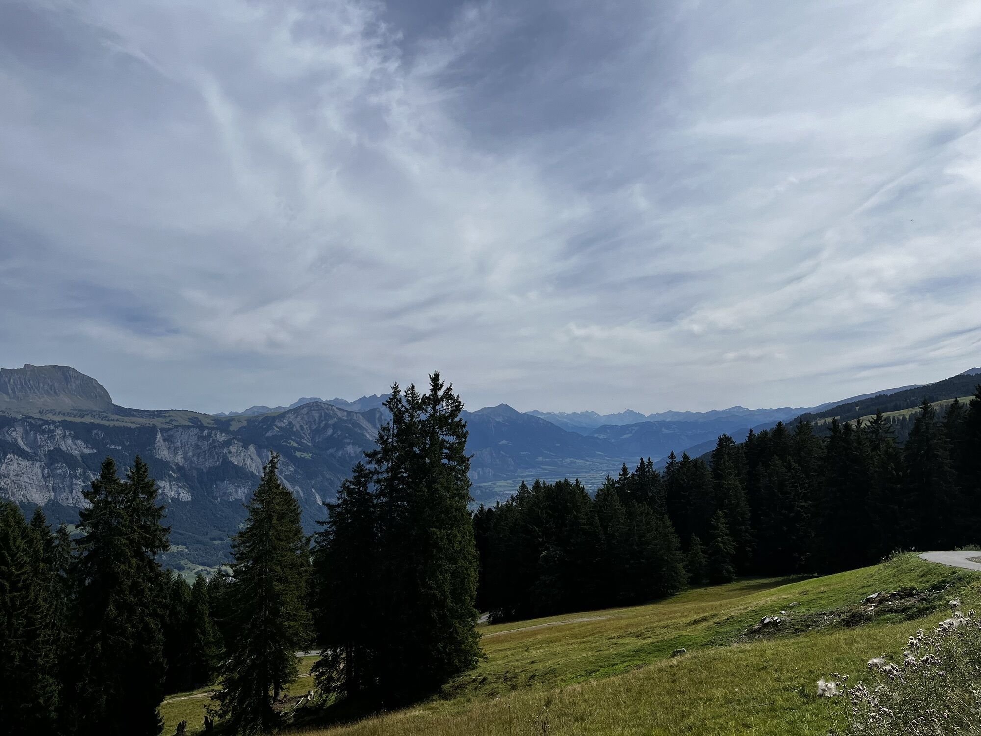
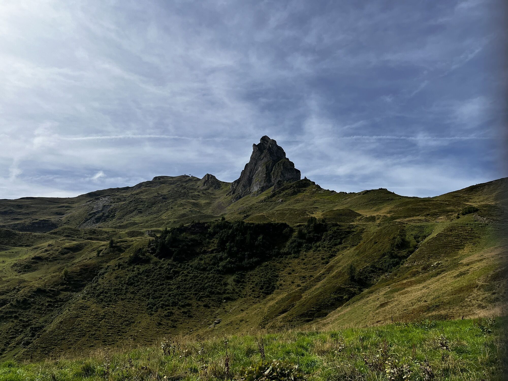
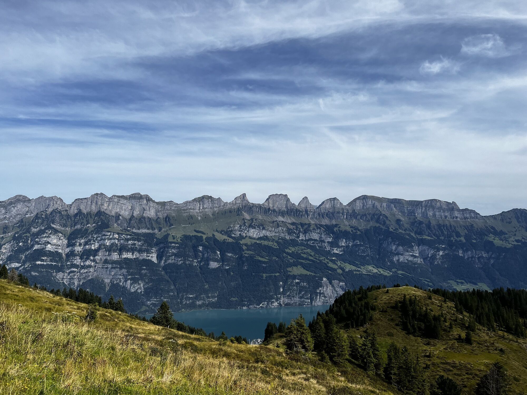
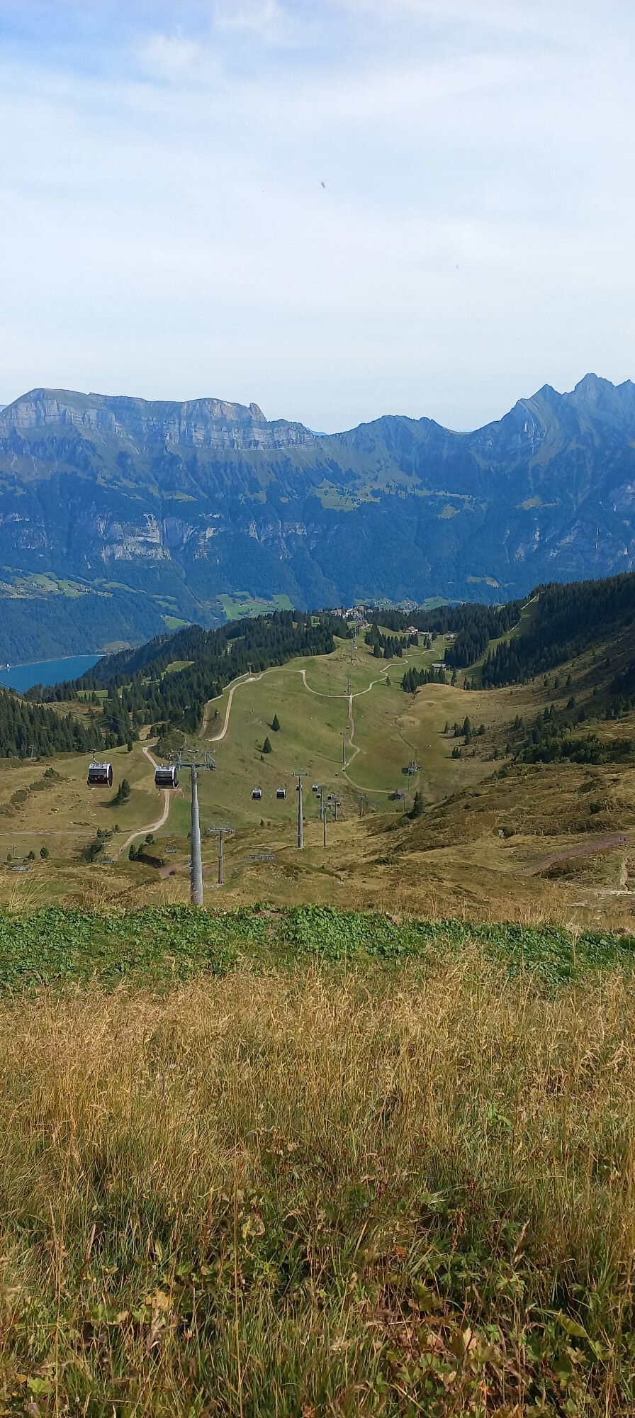

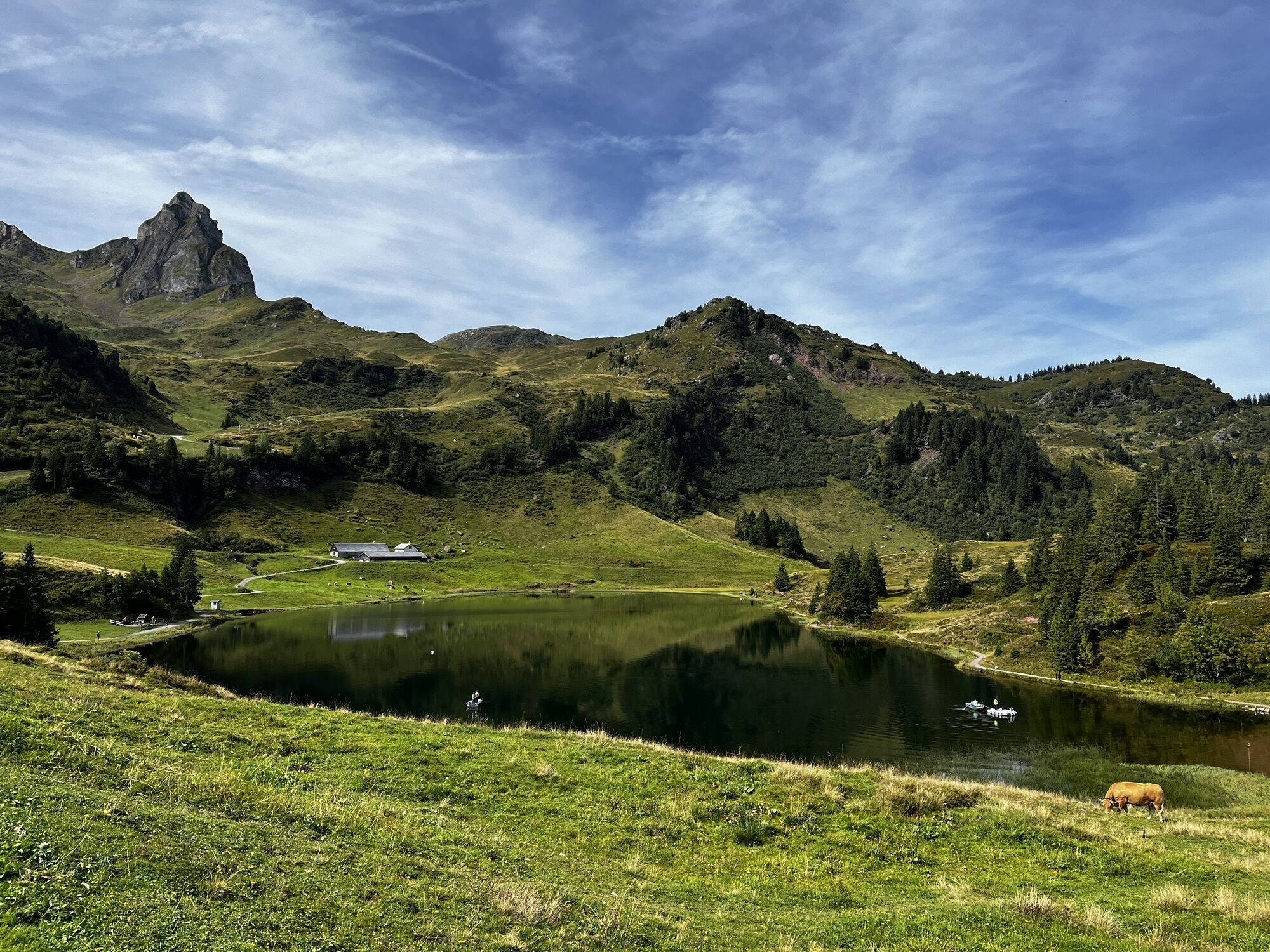
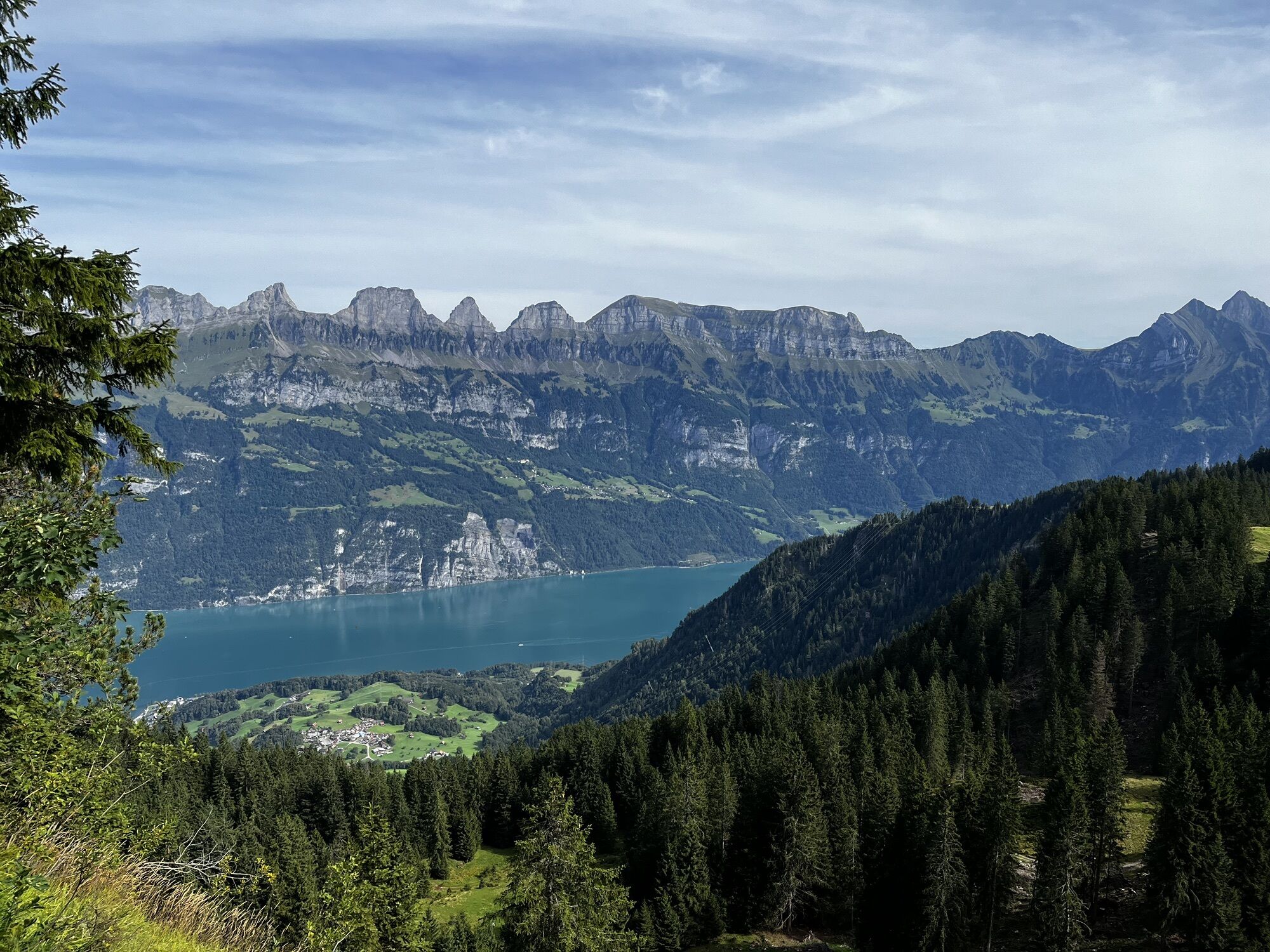
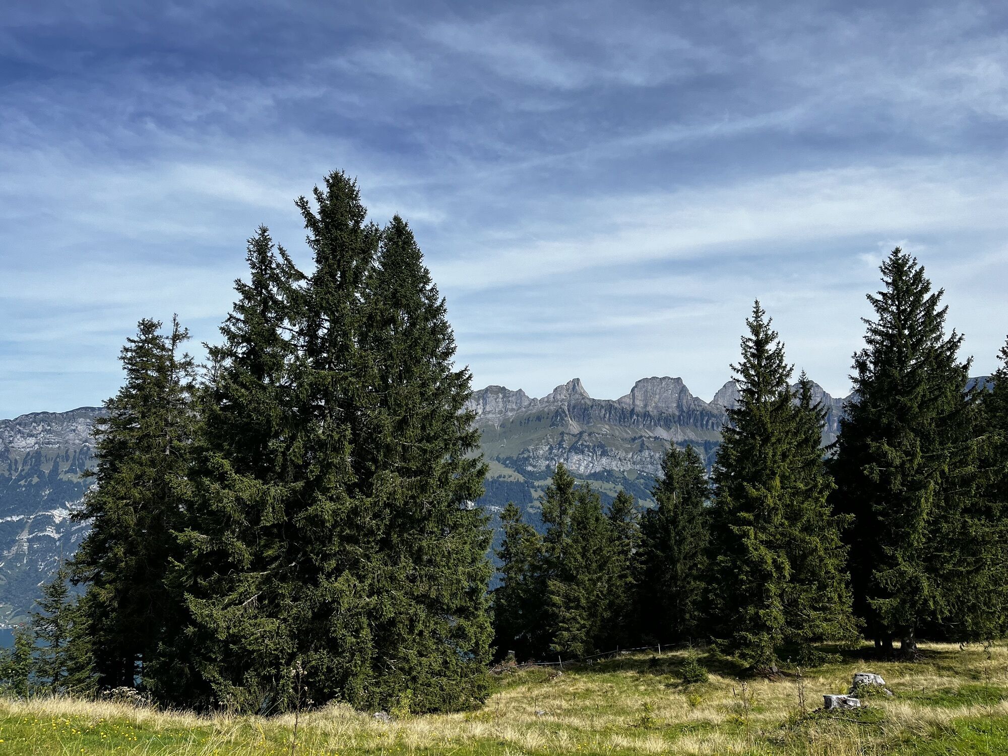
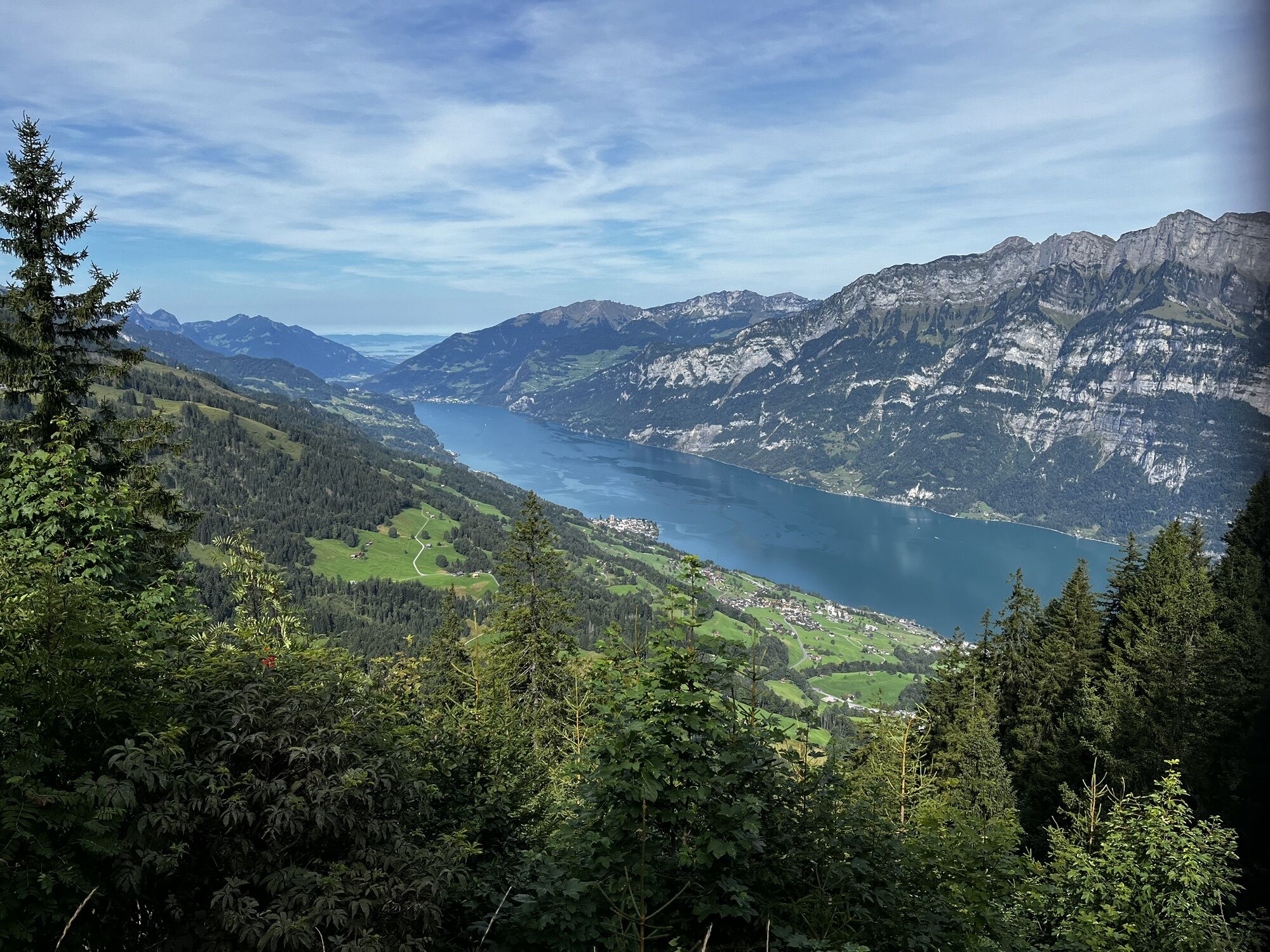
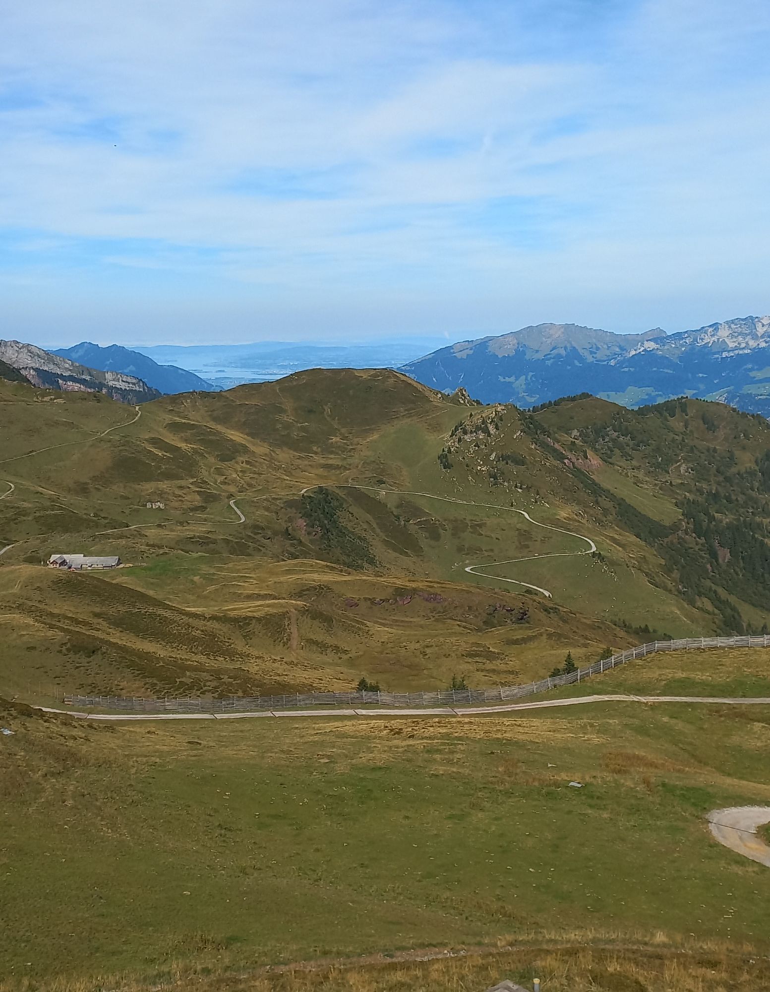
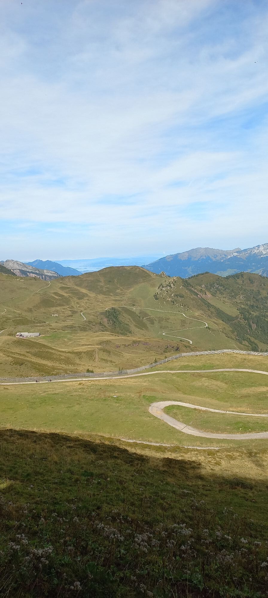

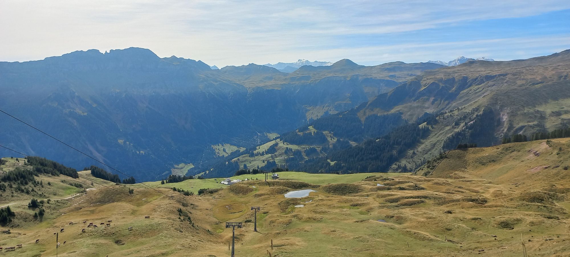
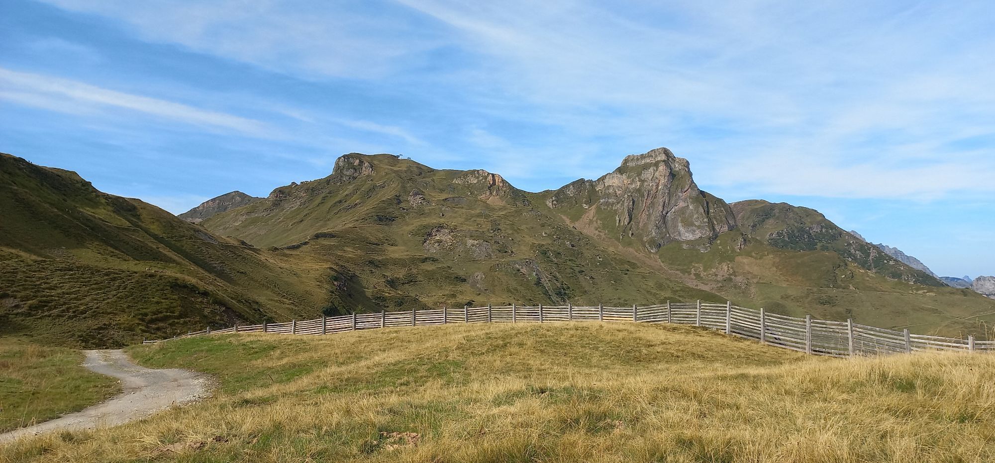
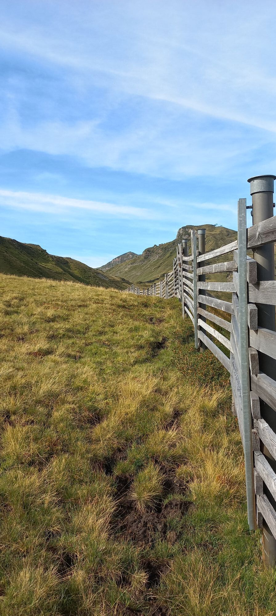
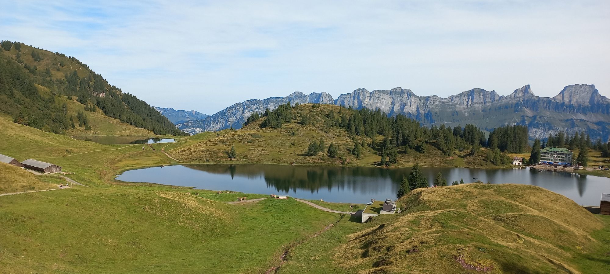
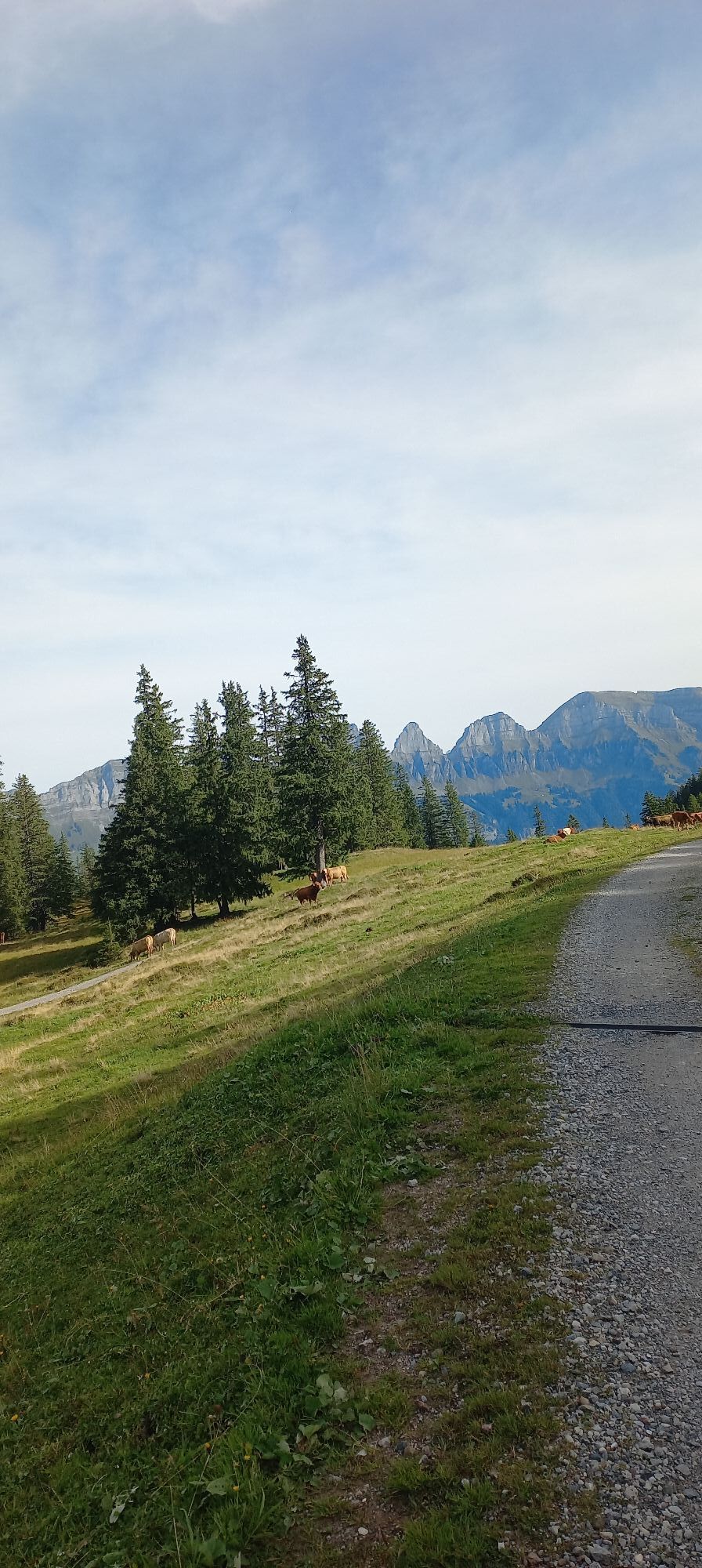
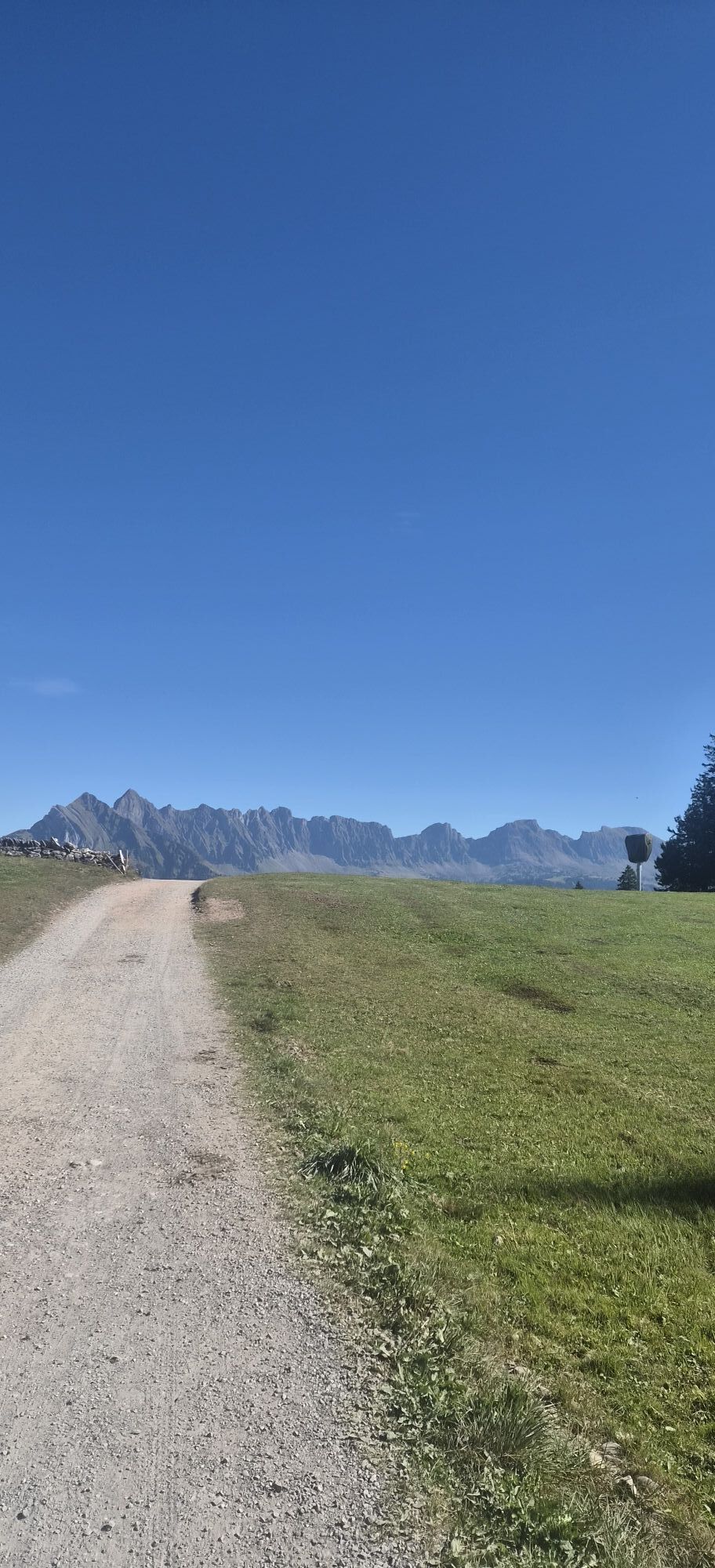
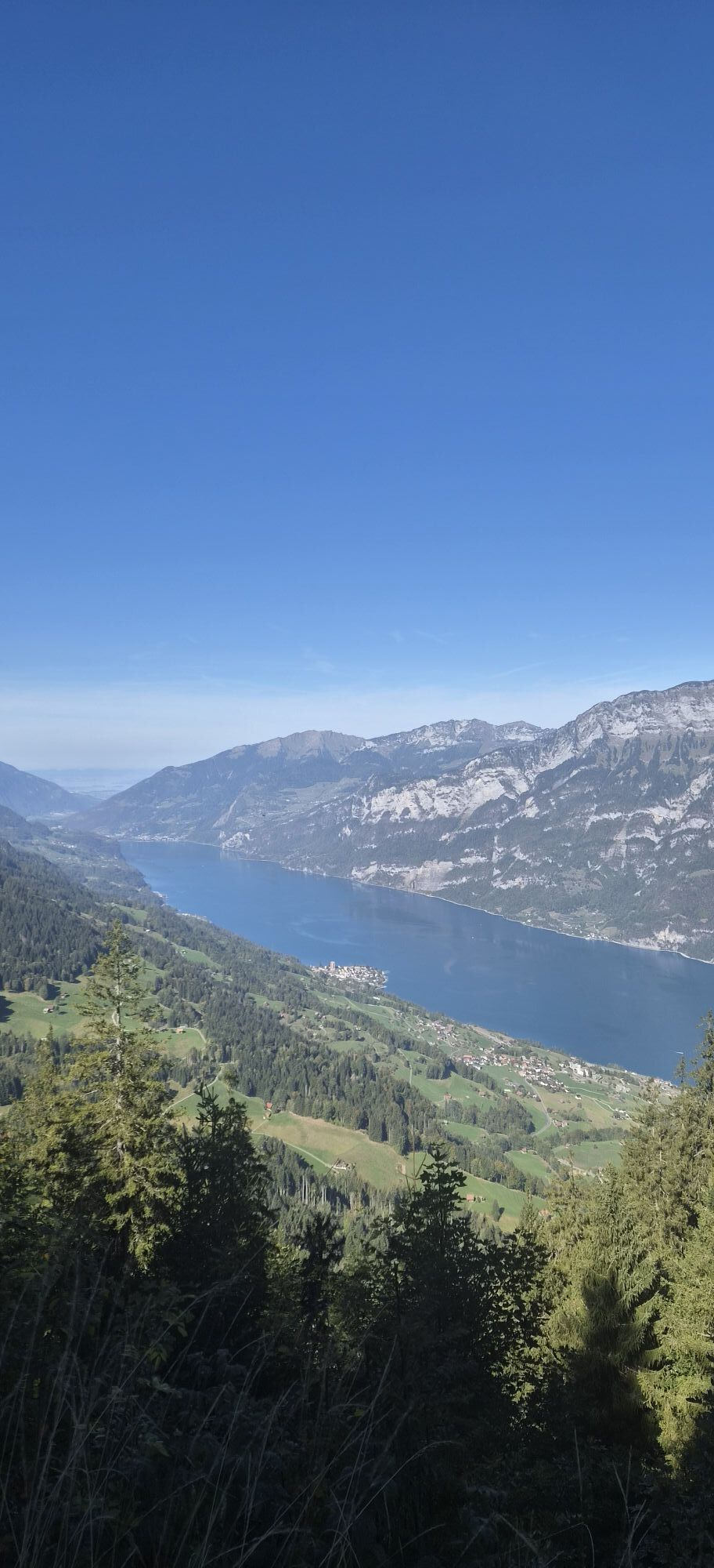
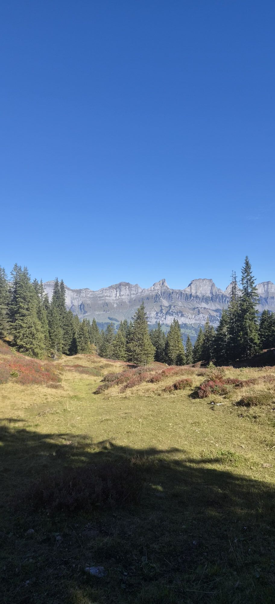
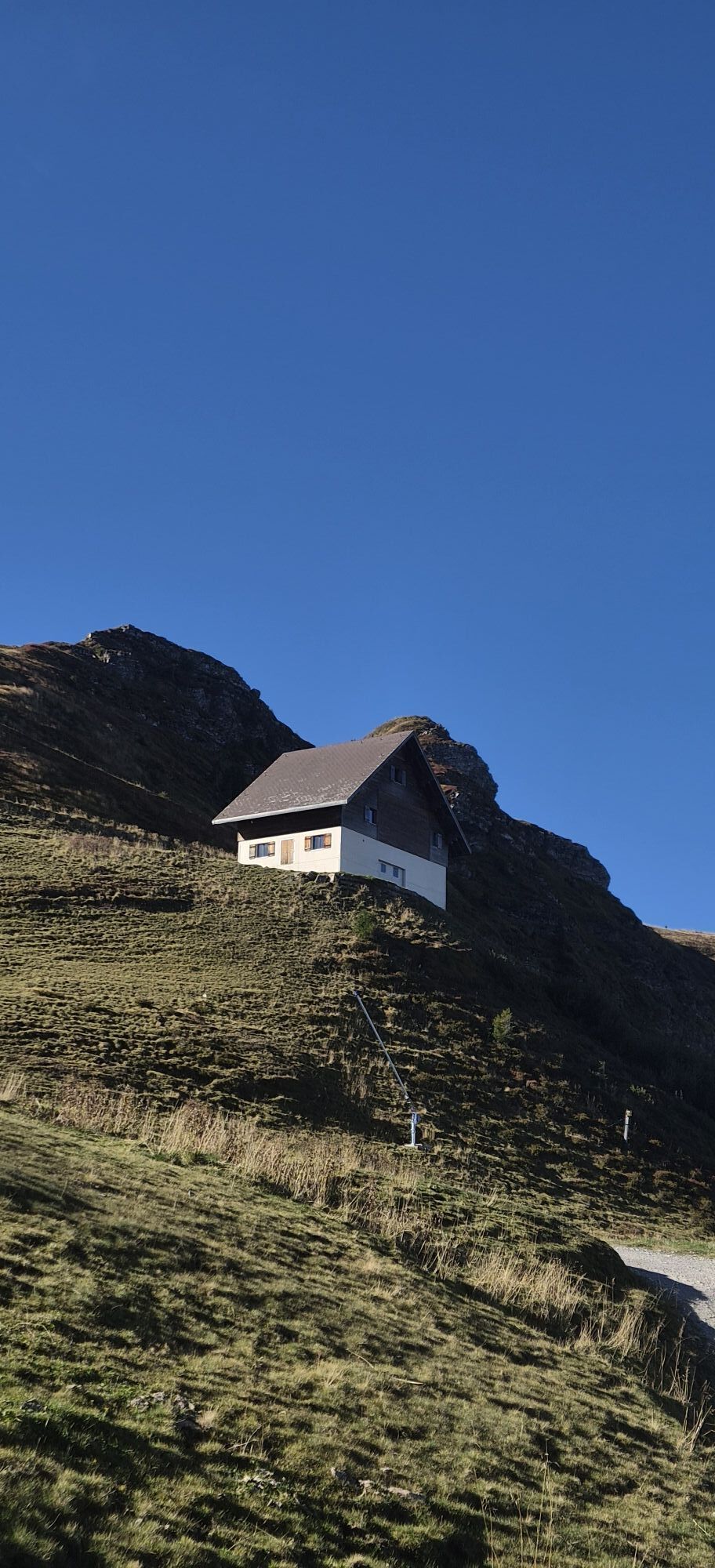
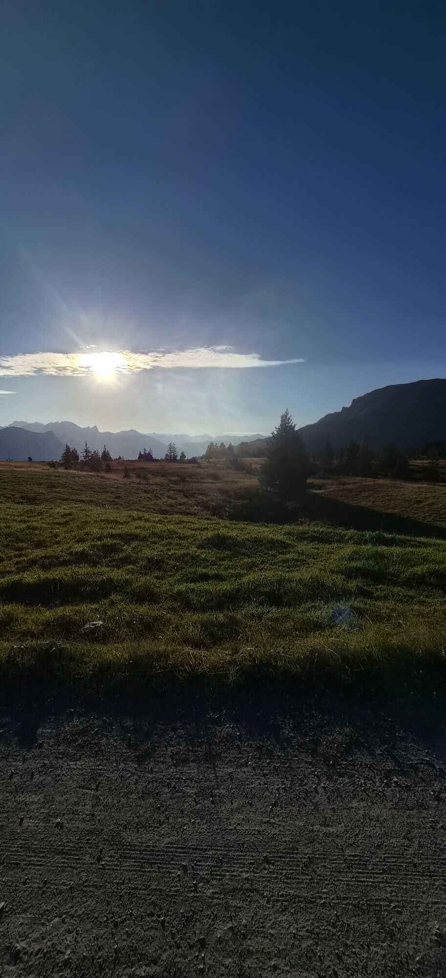
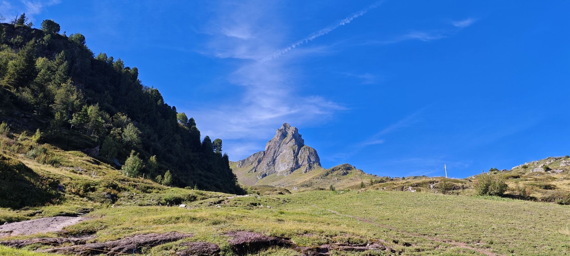
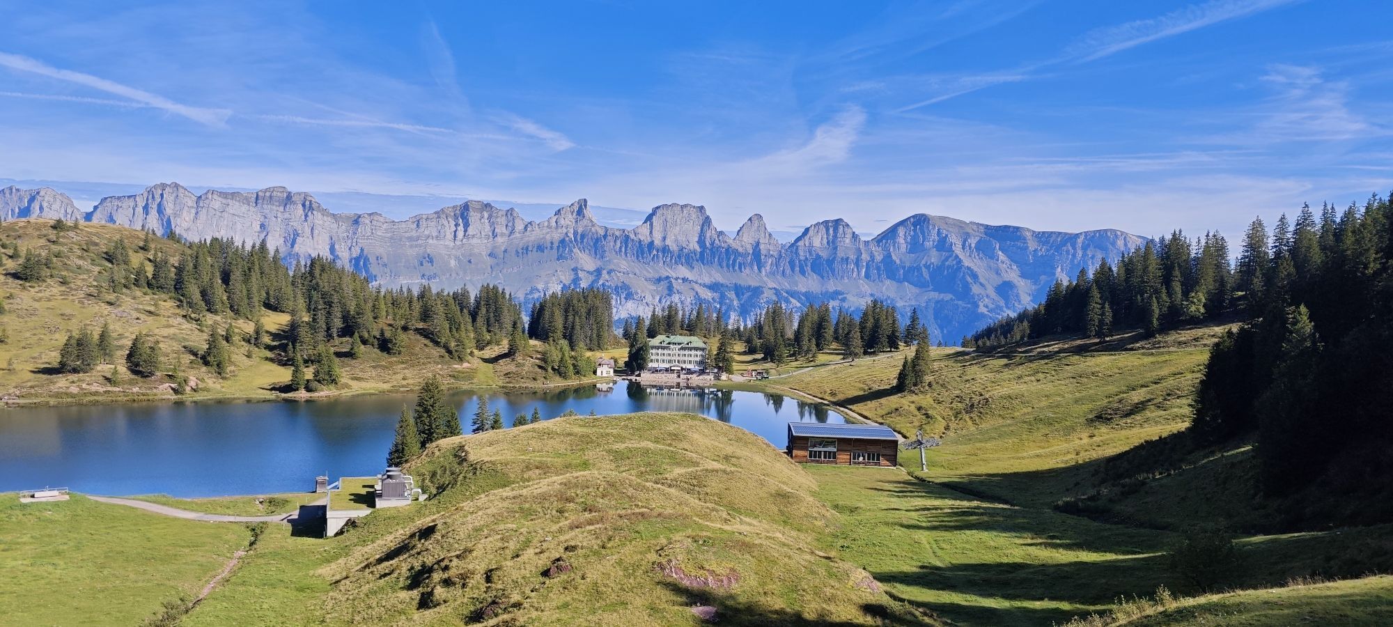
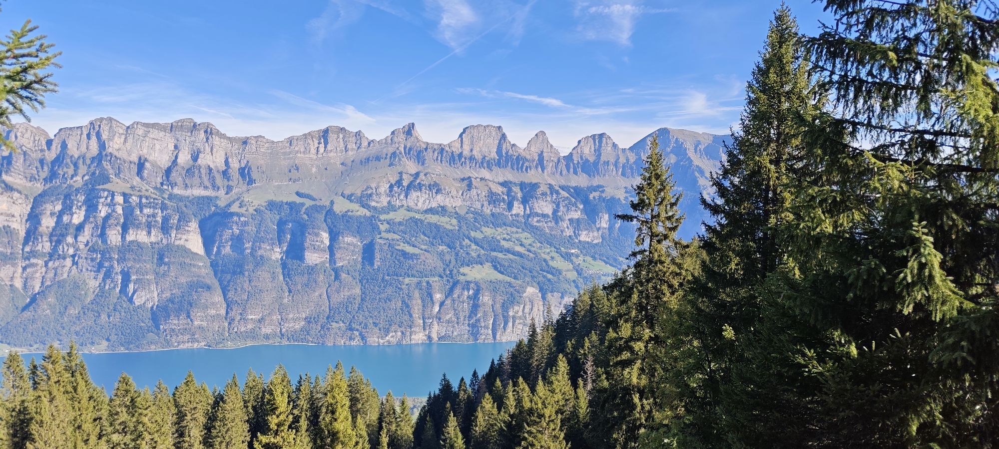
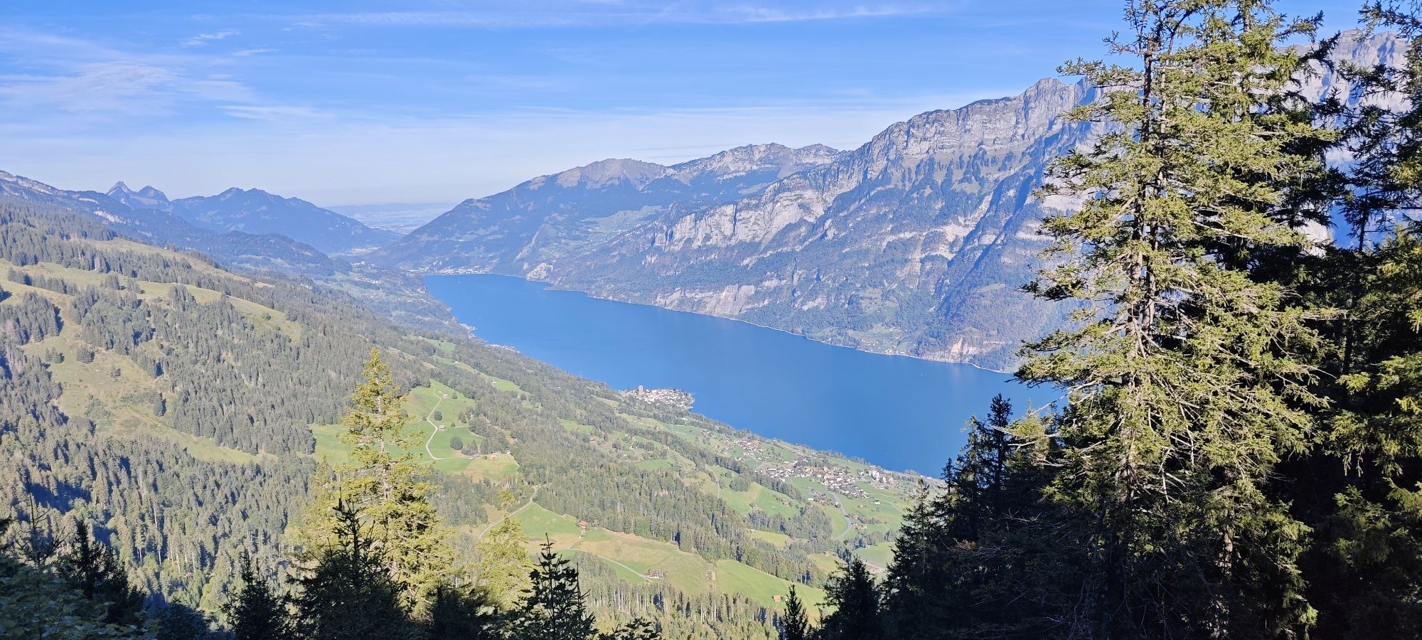
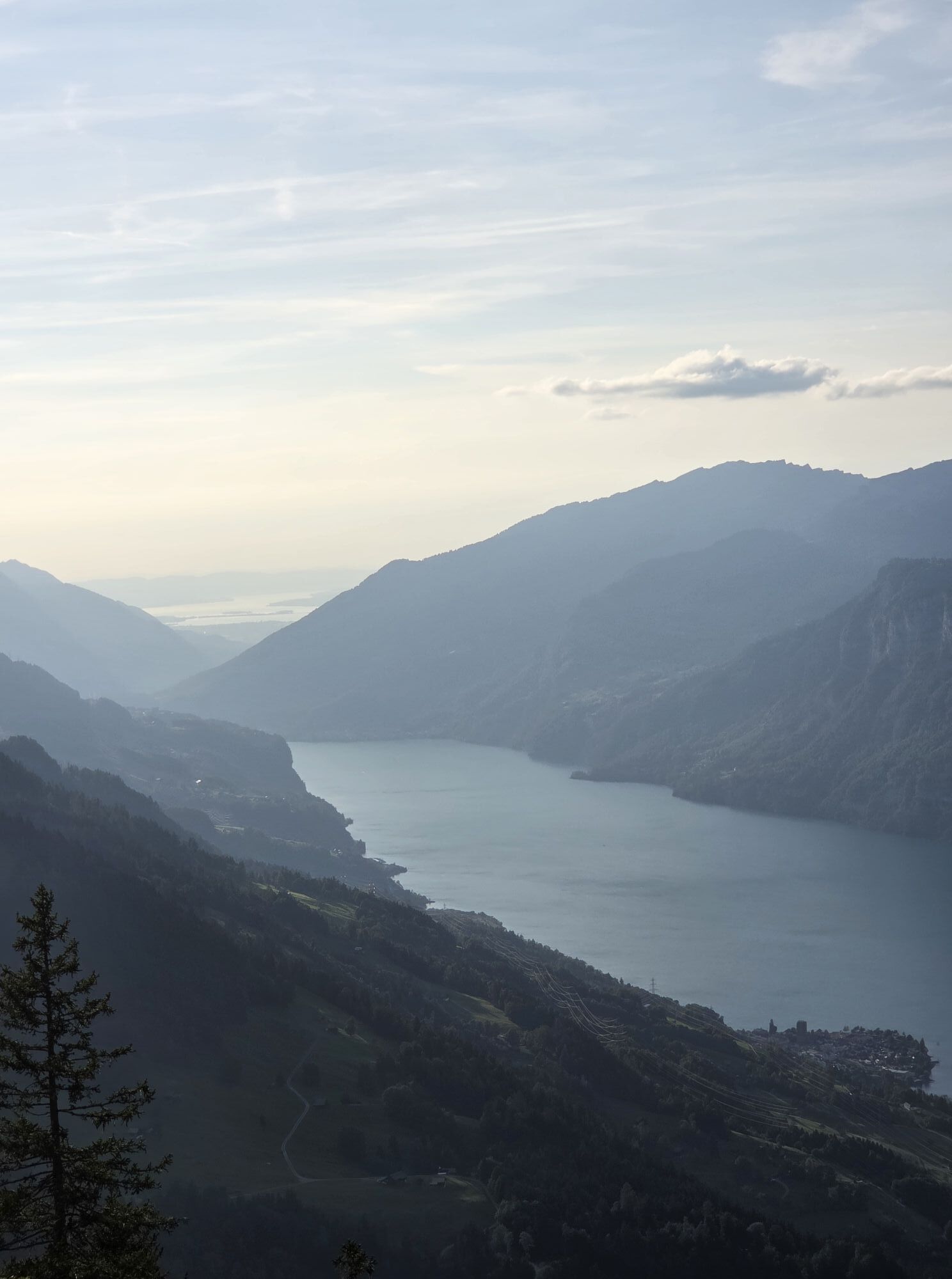
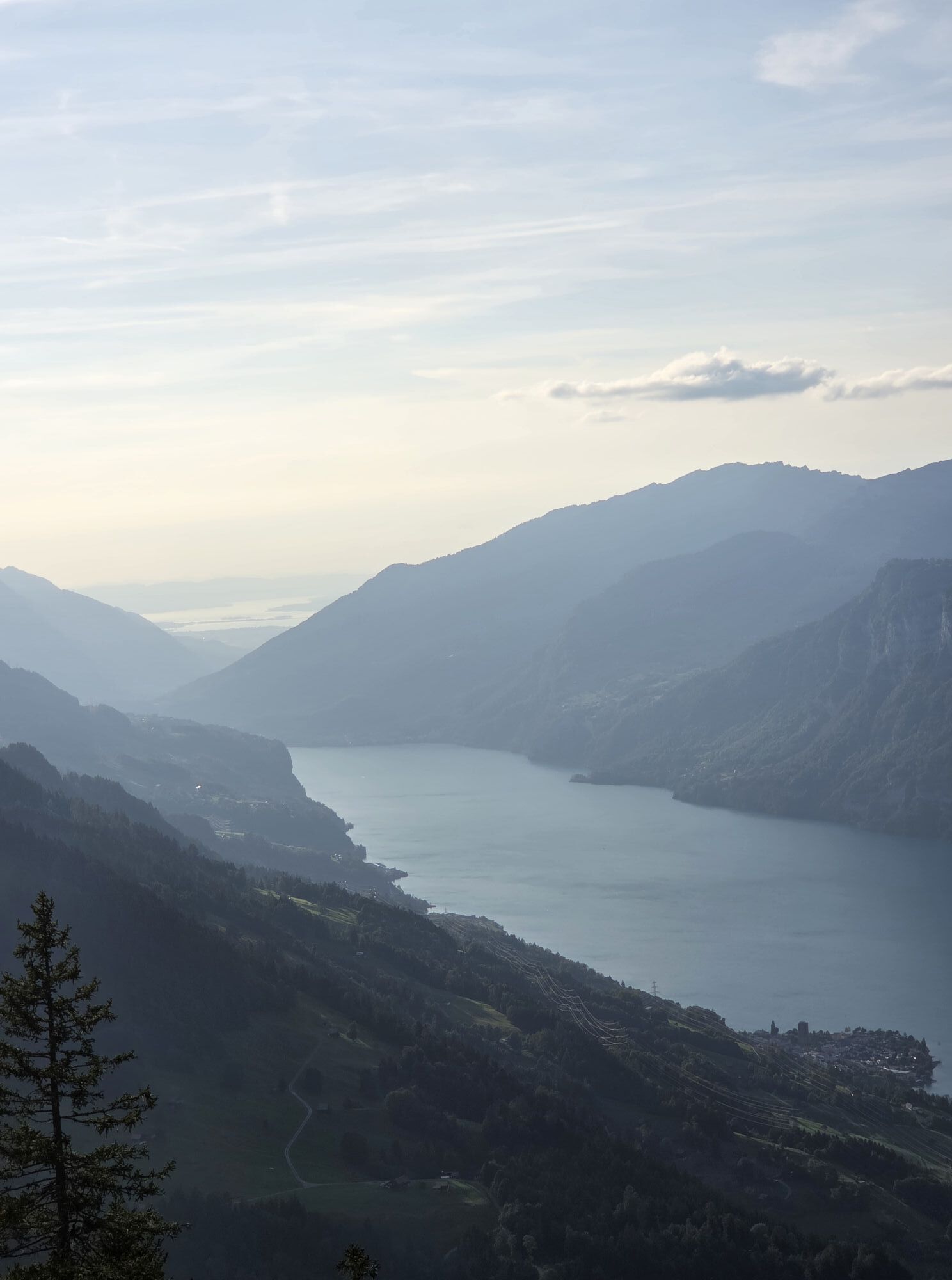
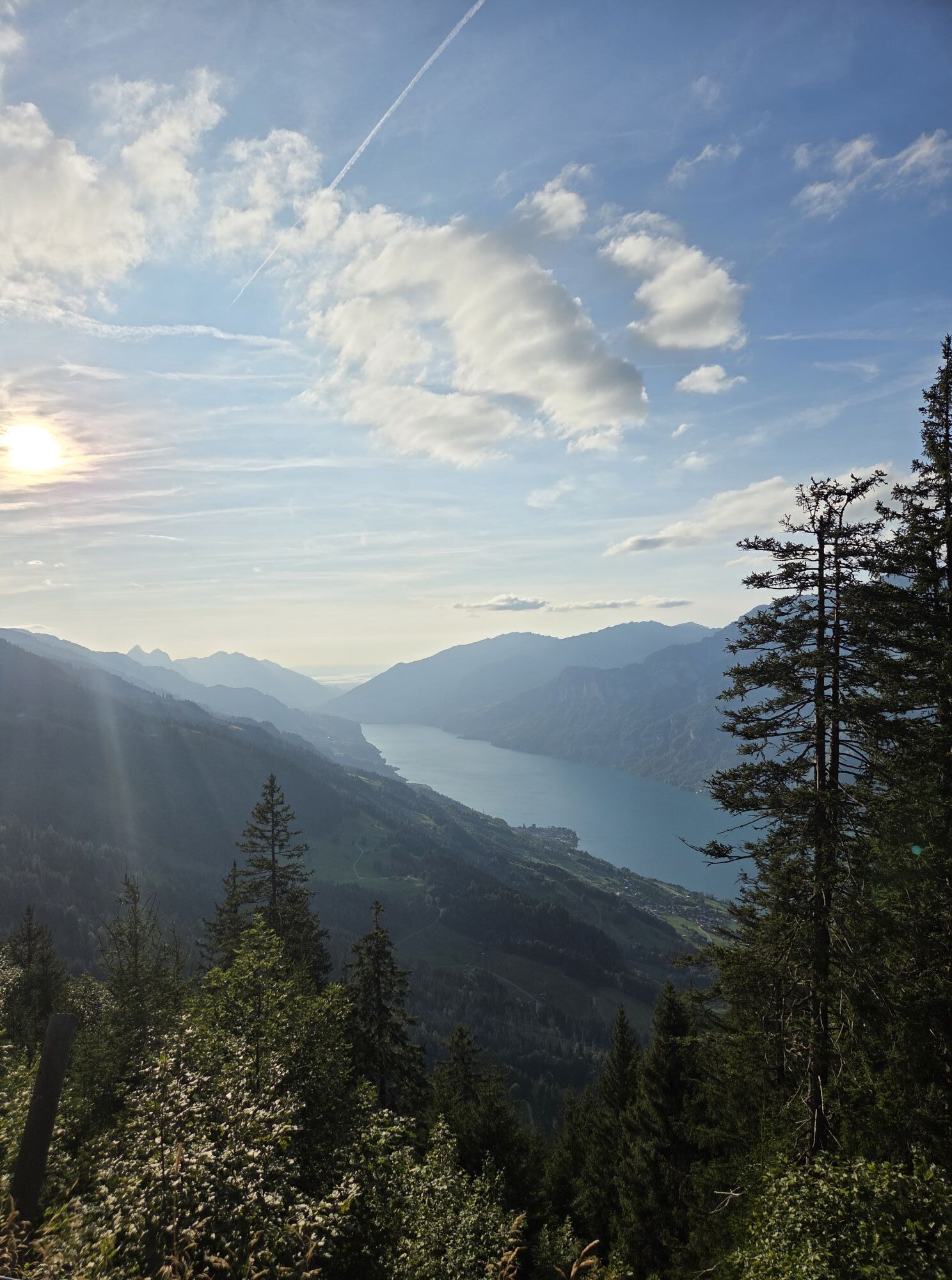
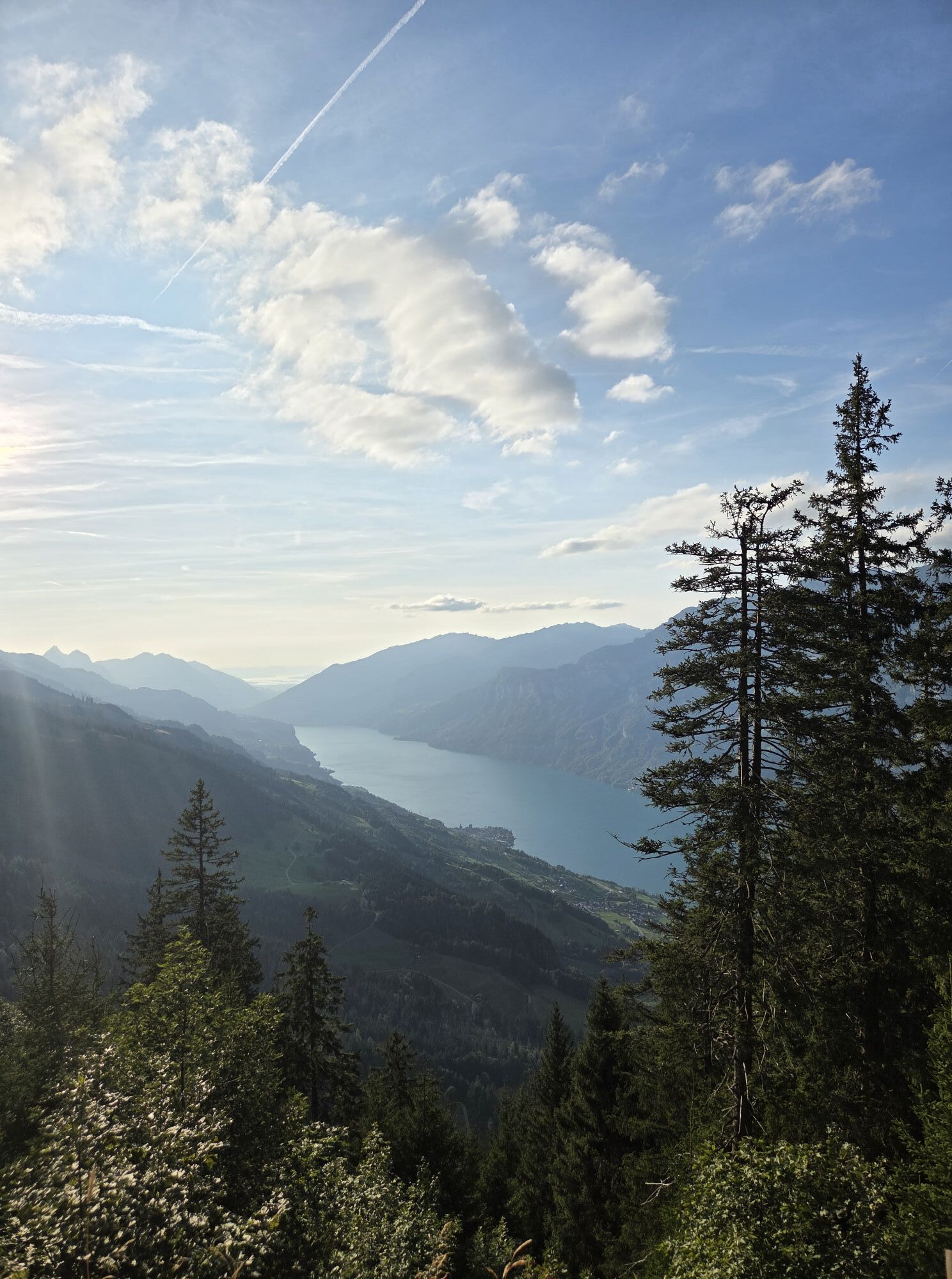
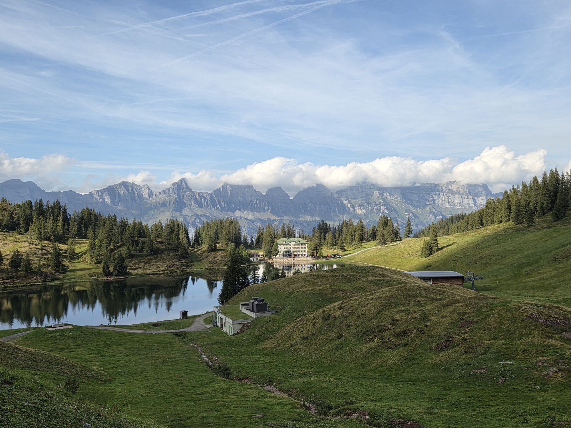
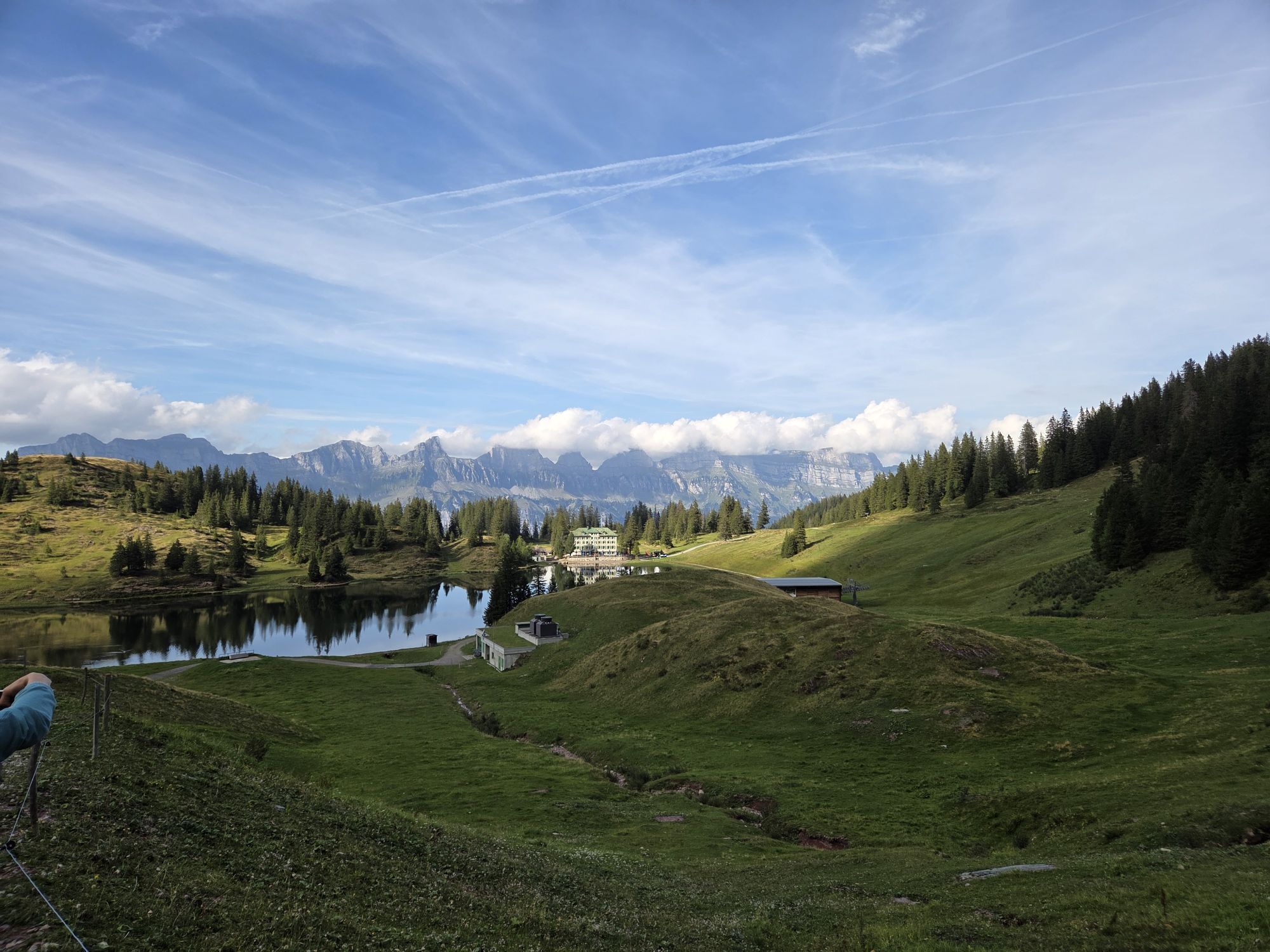
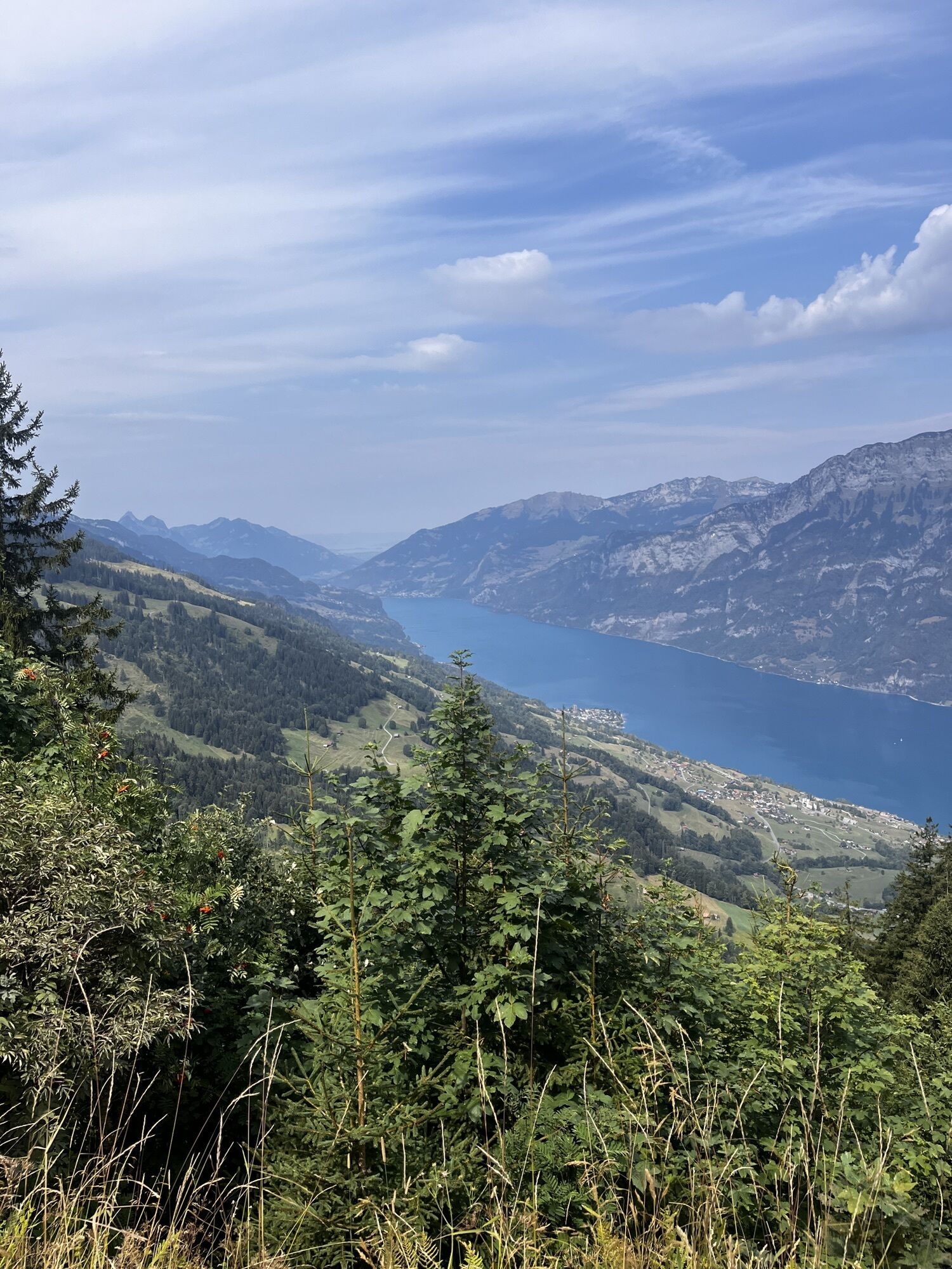
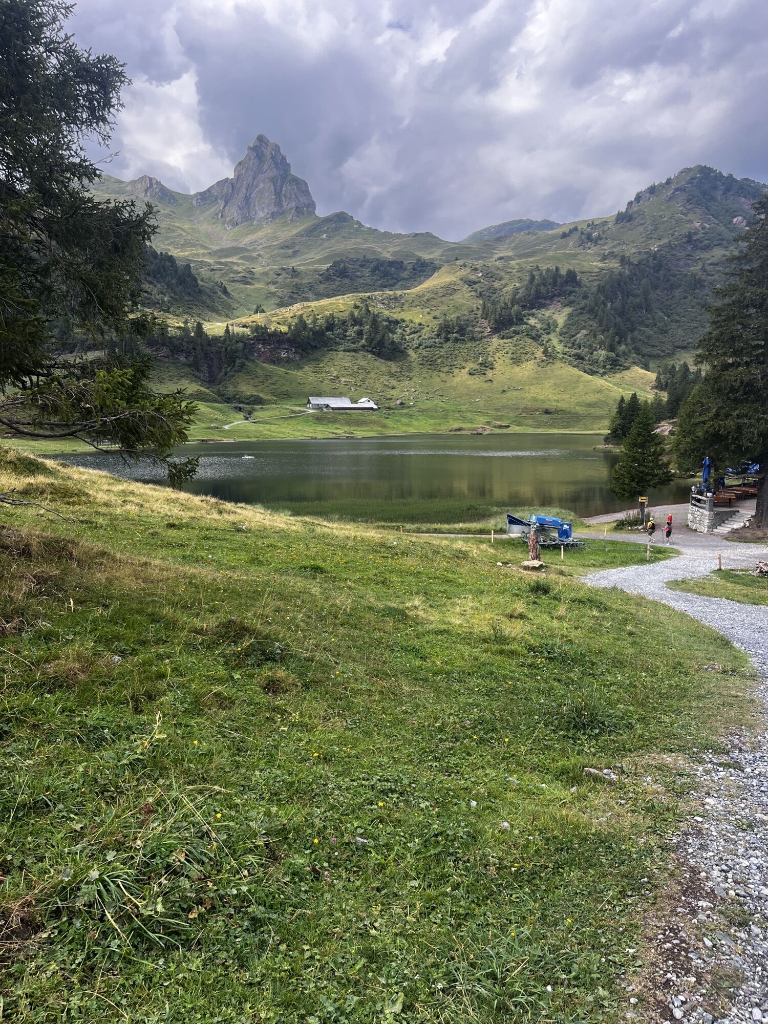
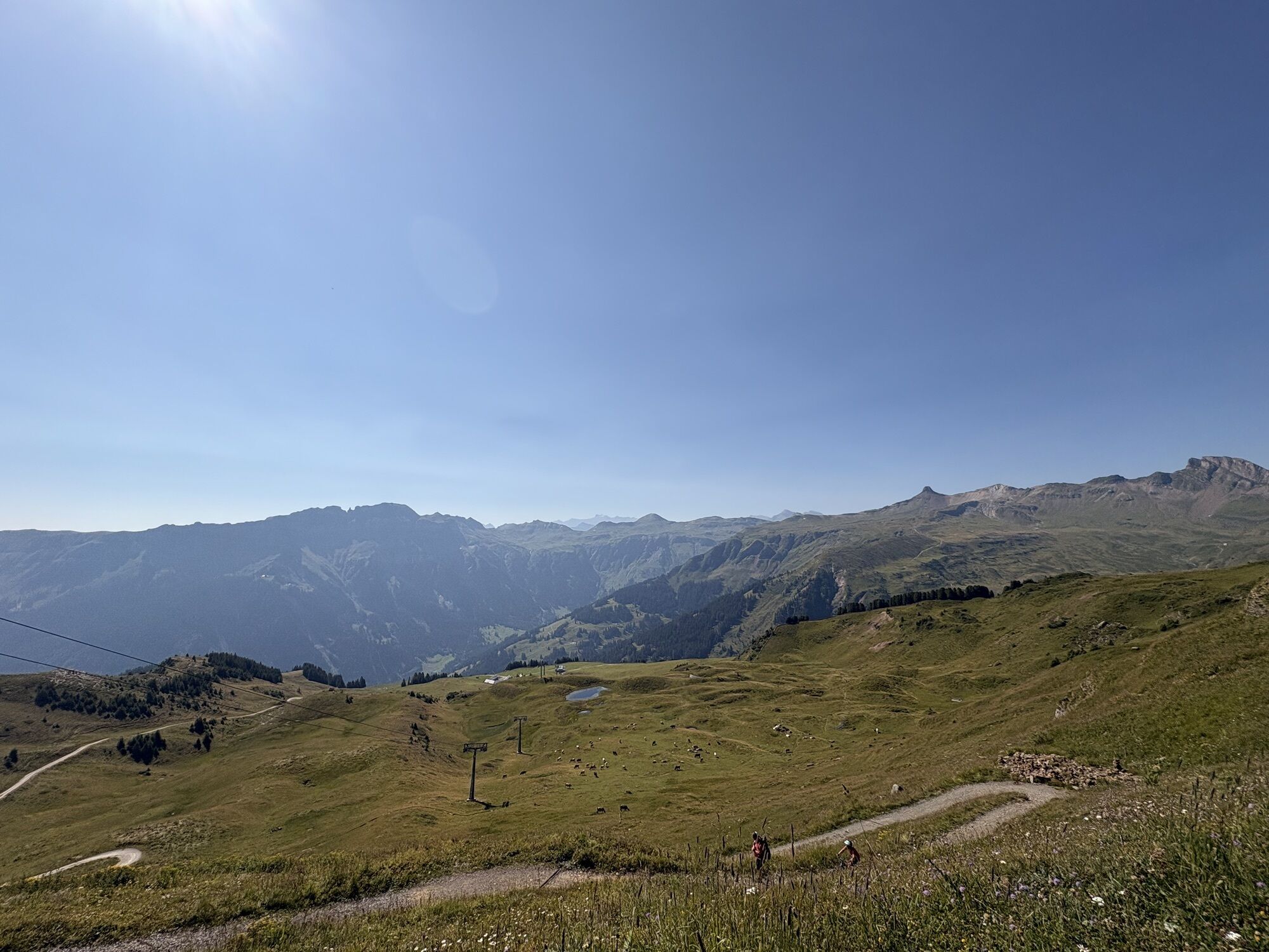
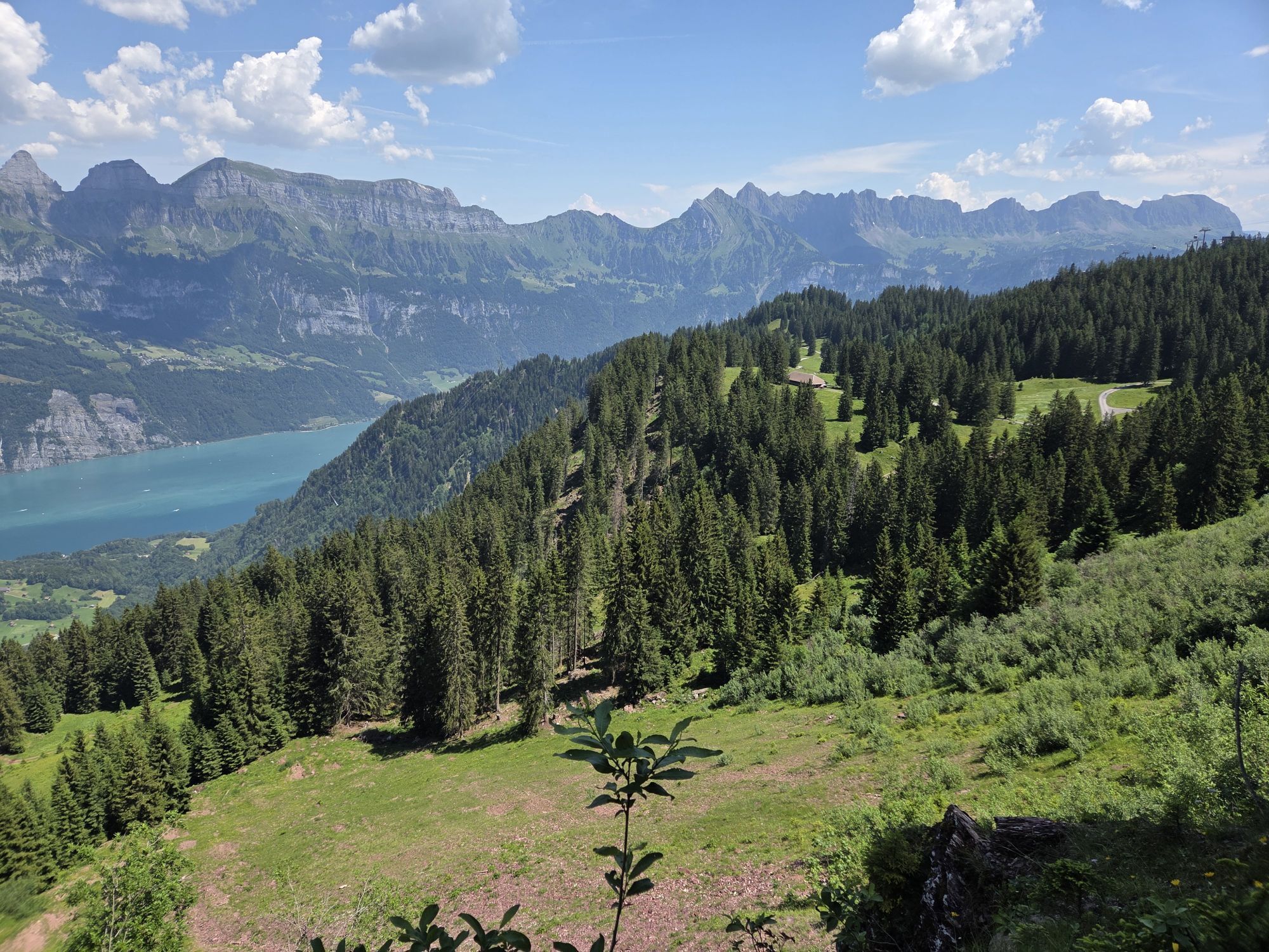
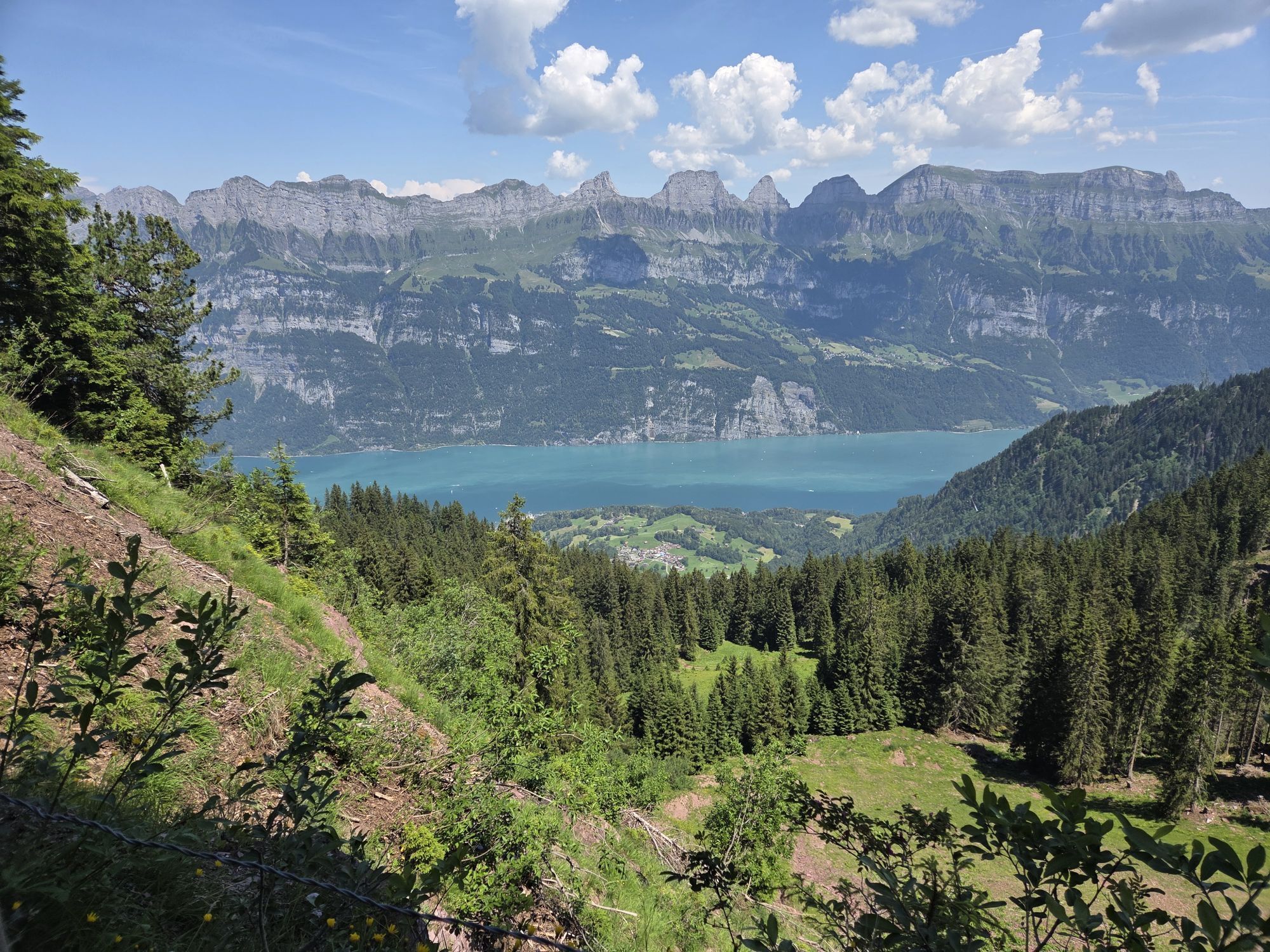
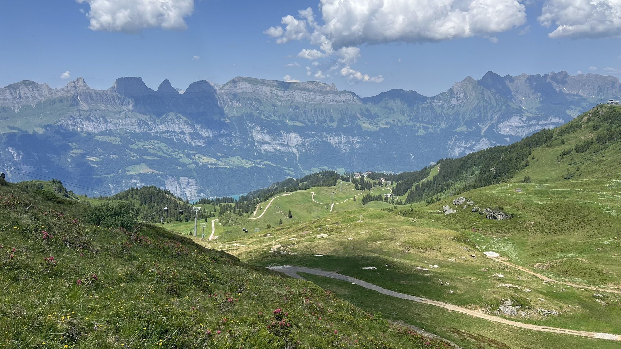
The start and finish of this bike route is Flumserberg Tannenbodenalp. Following a wide, gently ascending natural road, the first section leads to Seebenalp. The high plateau with three mountain lakes...
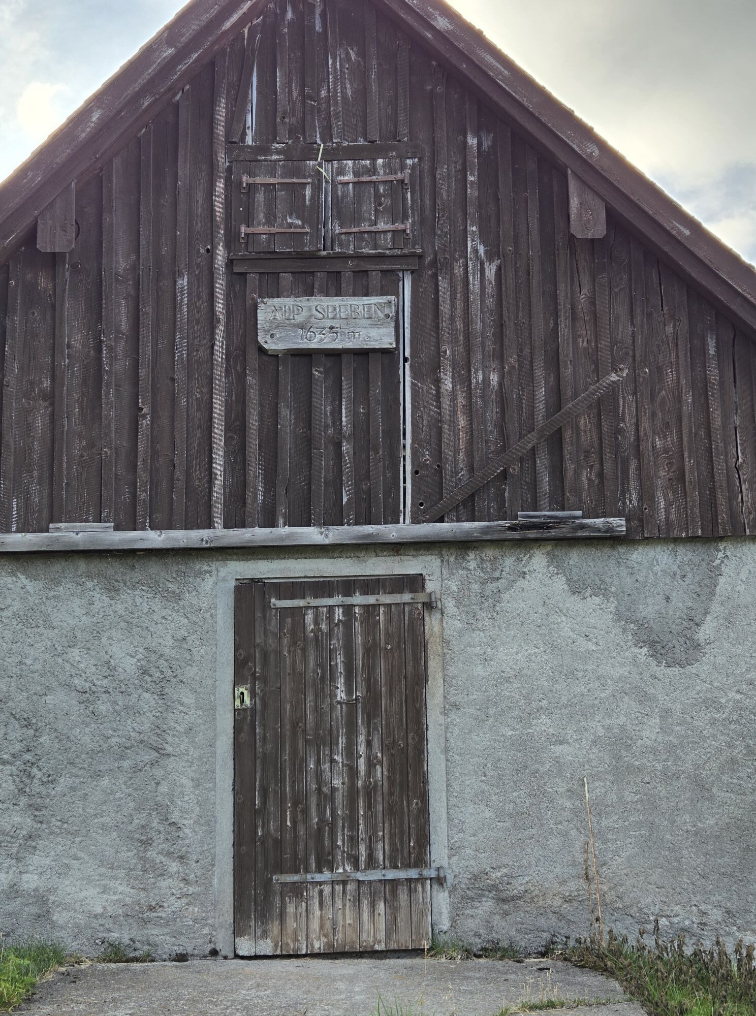
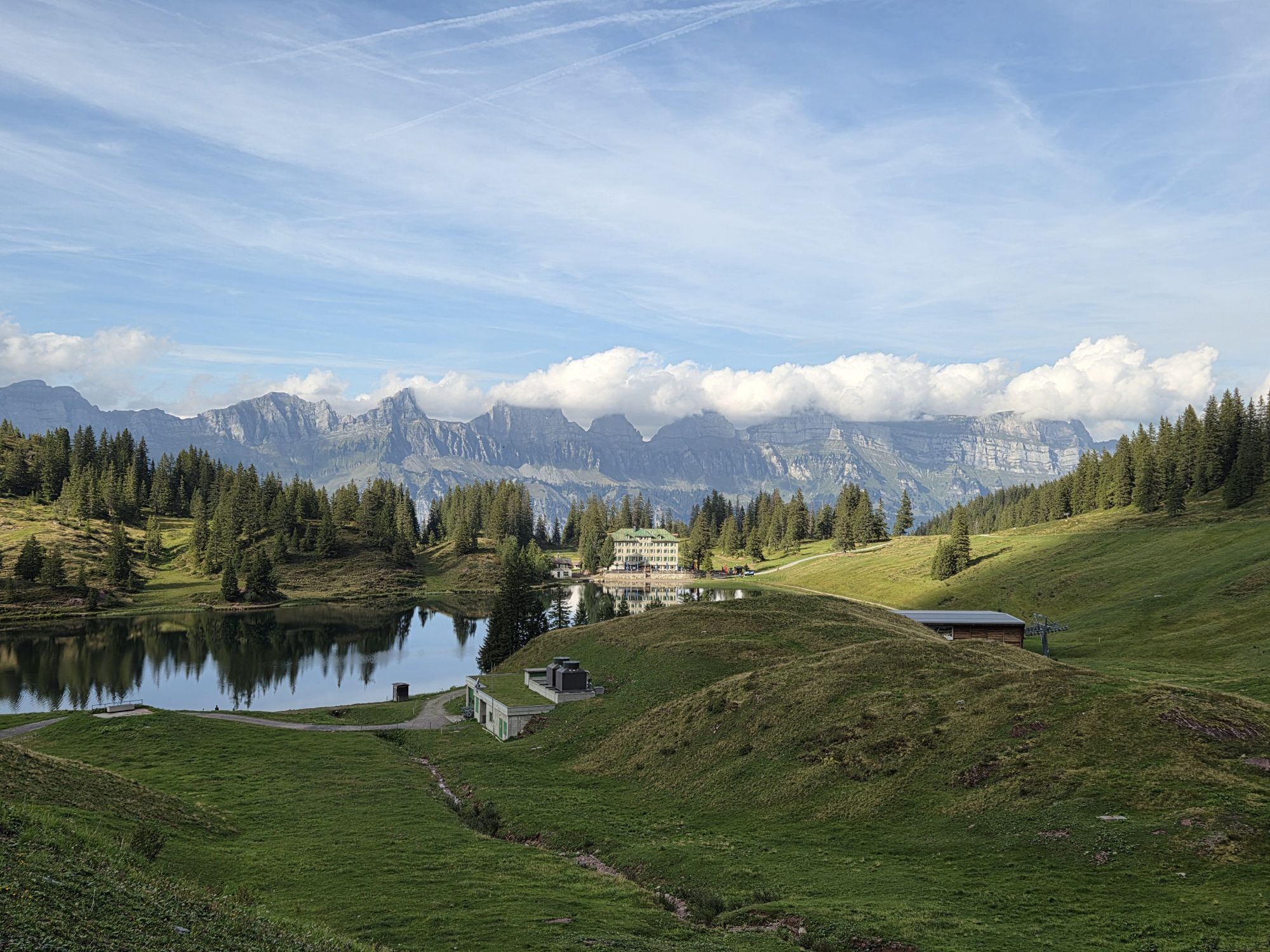
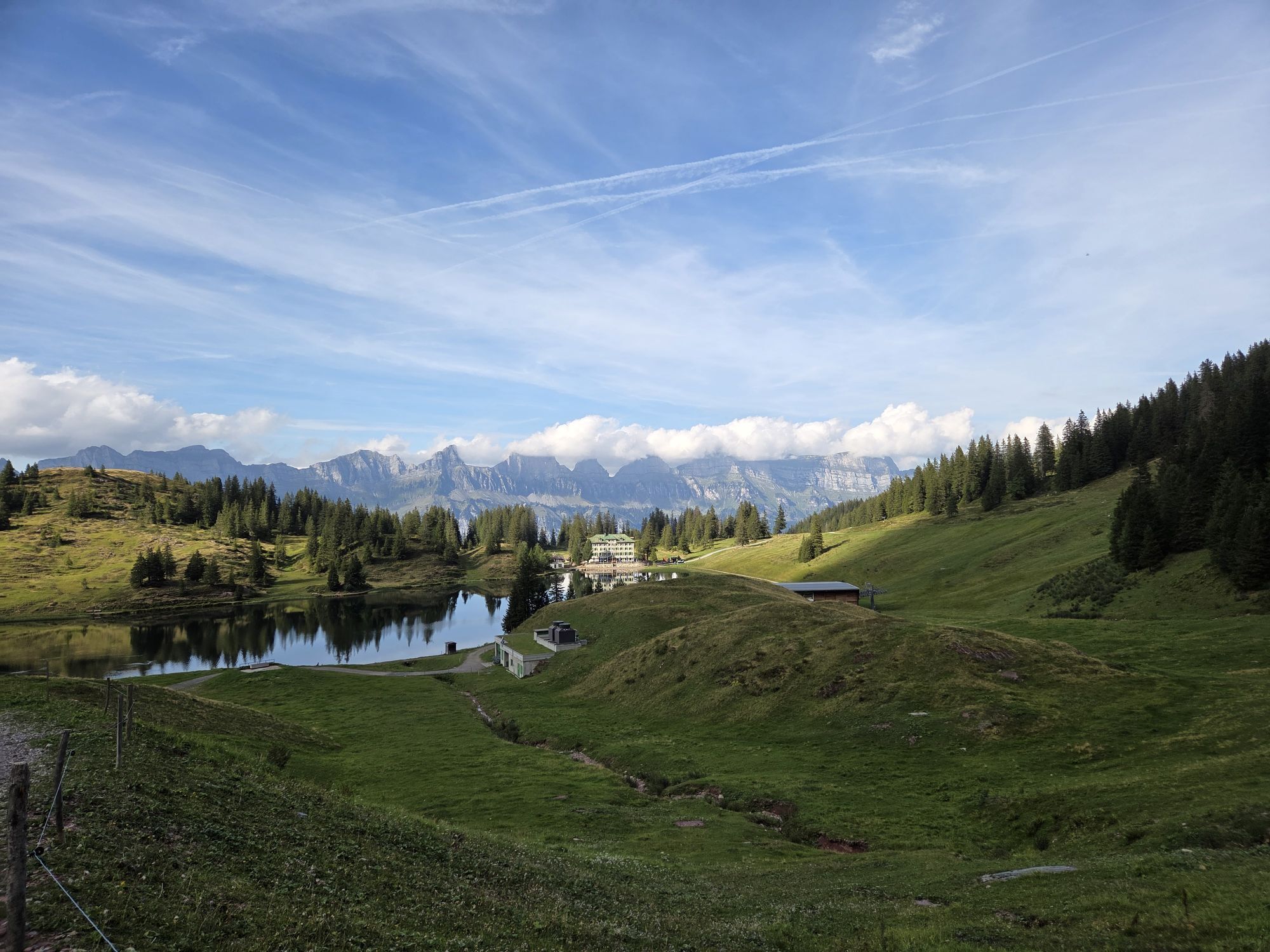
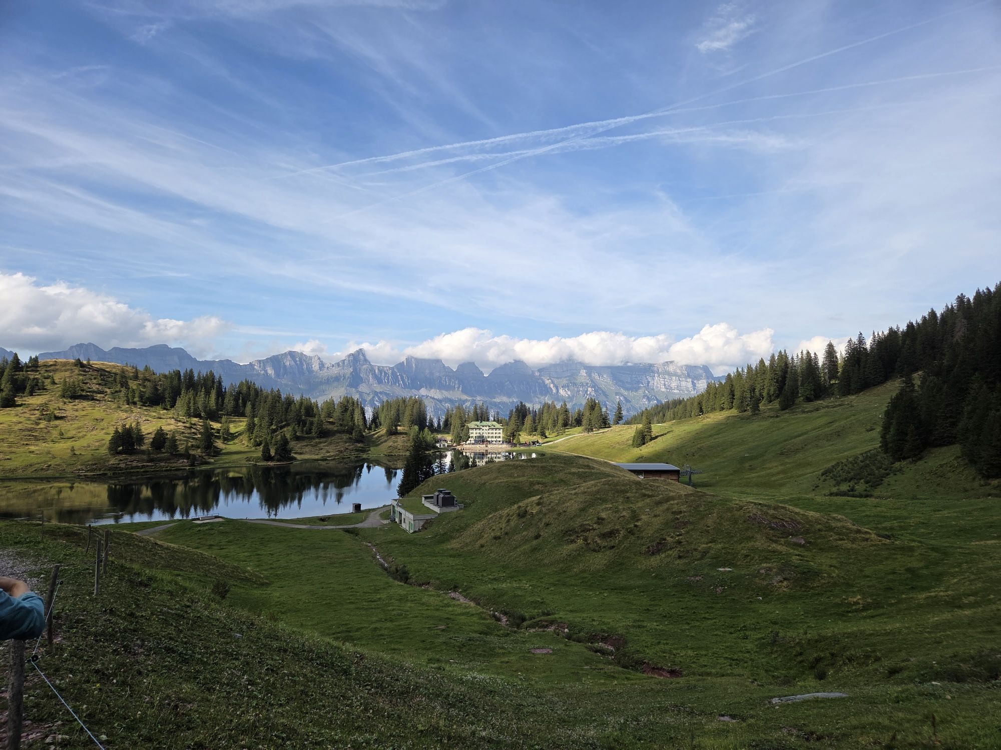
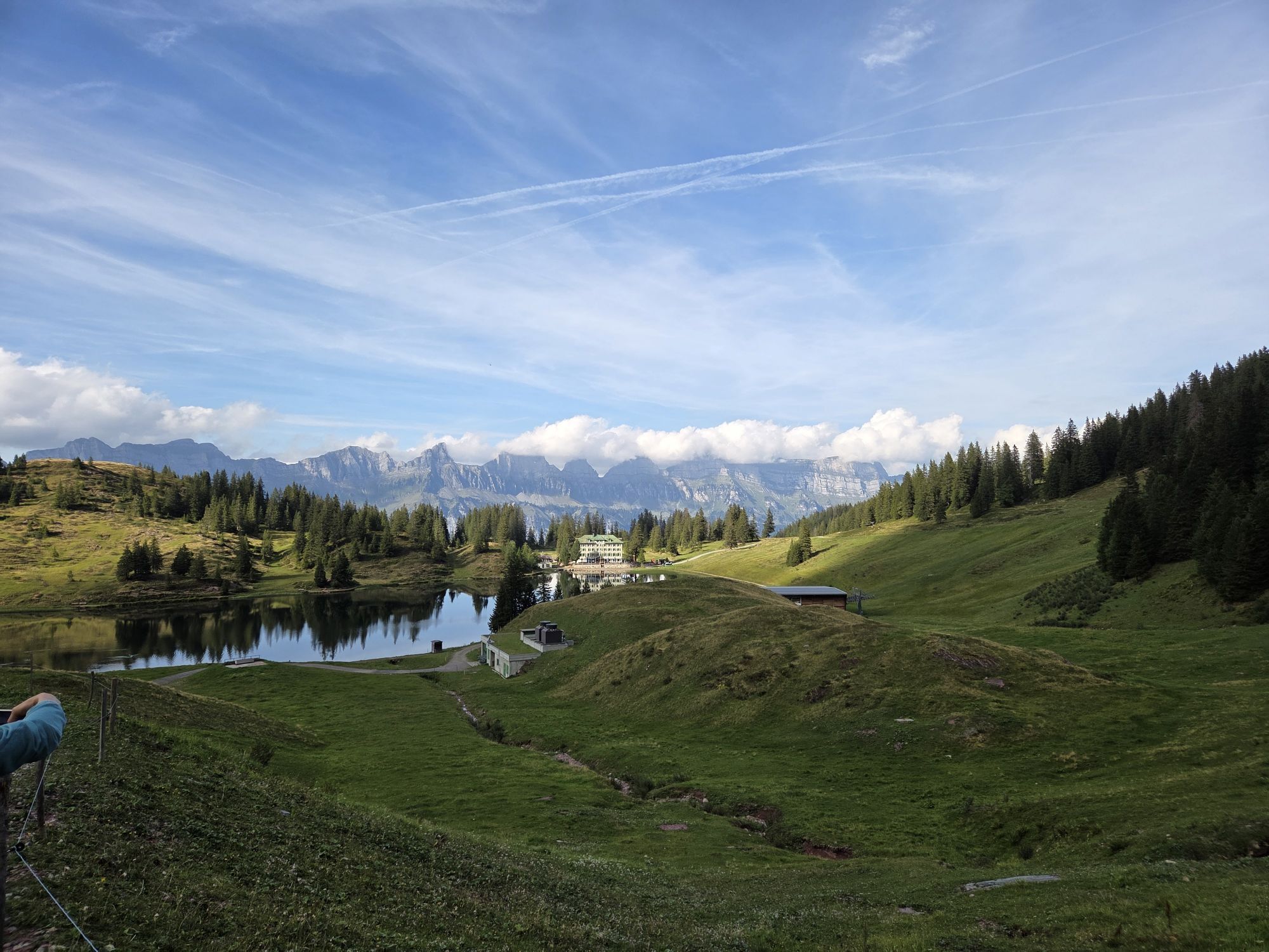
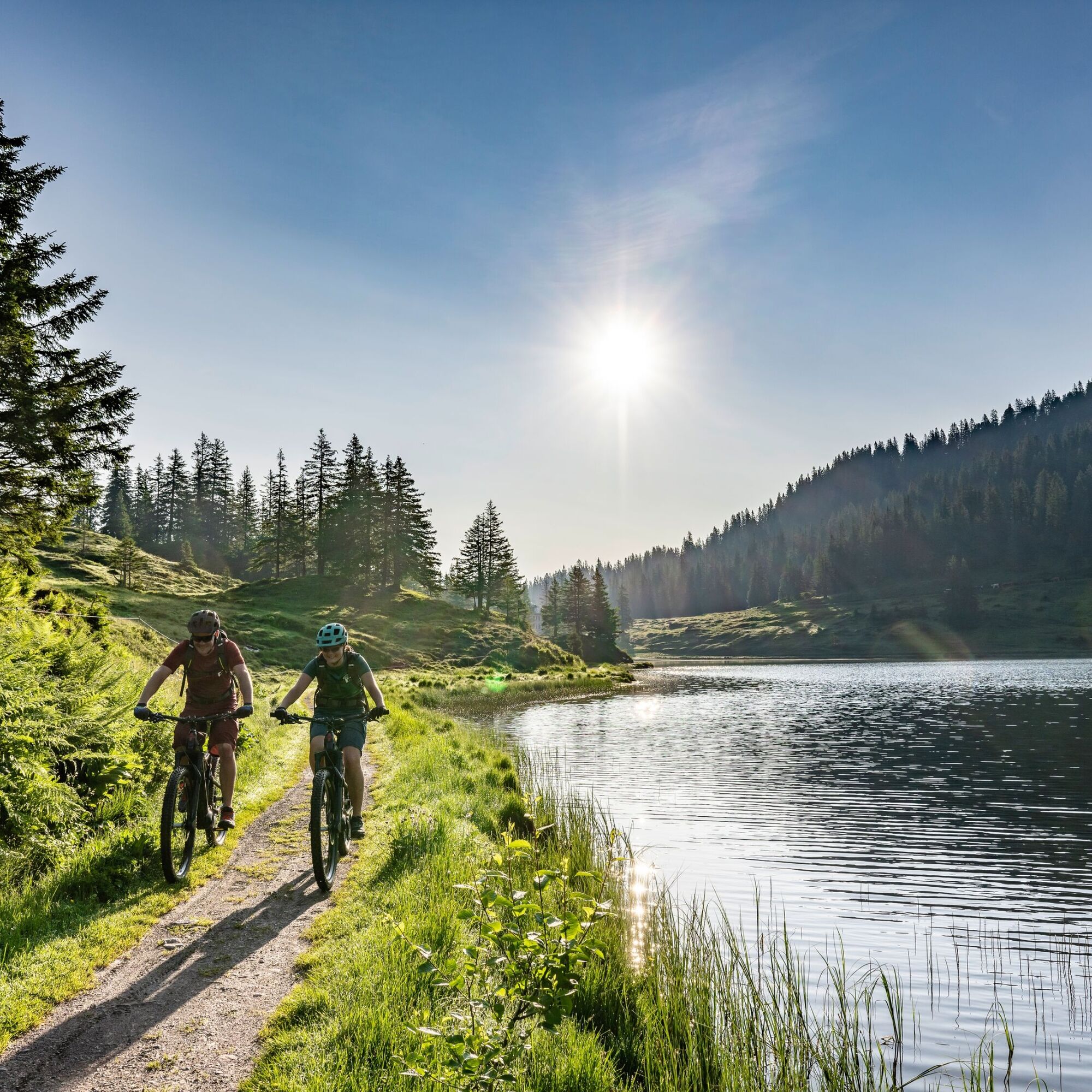
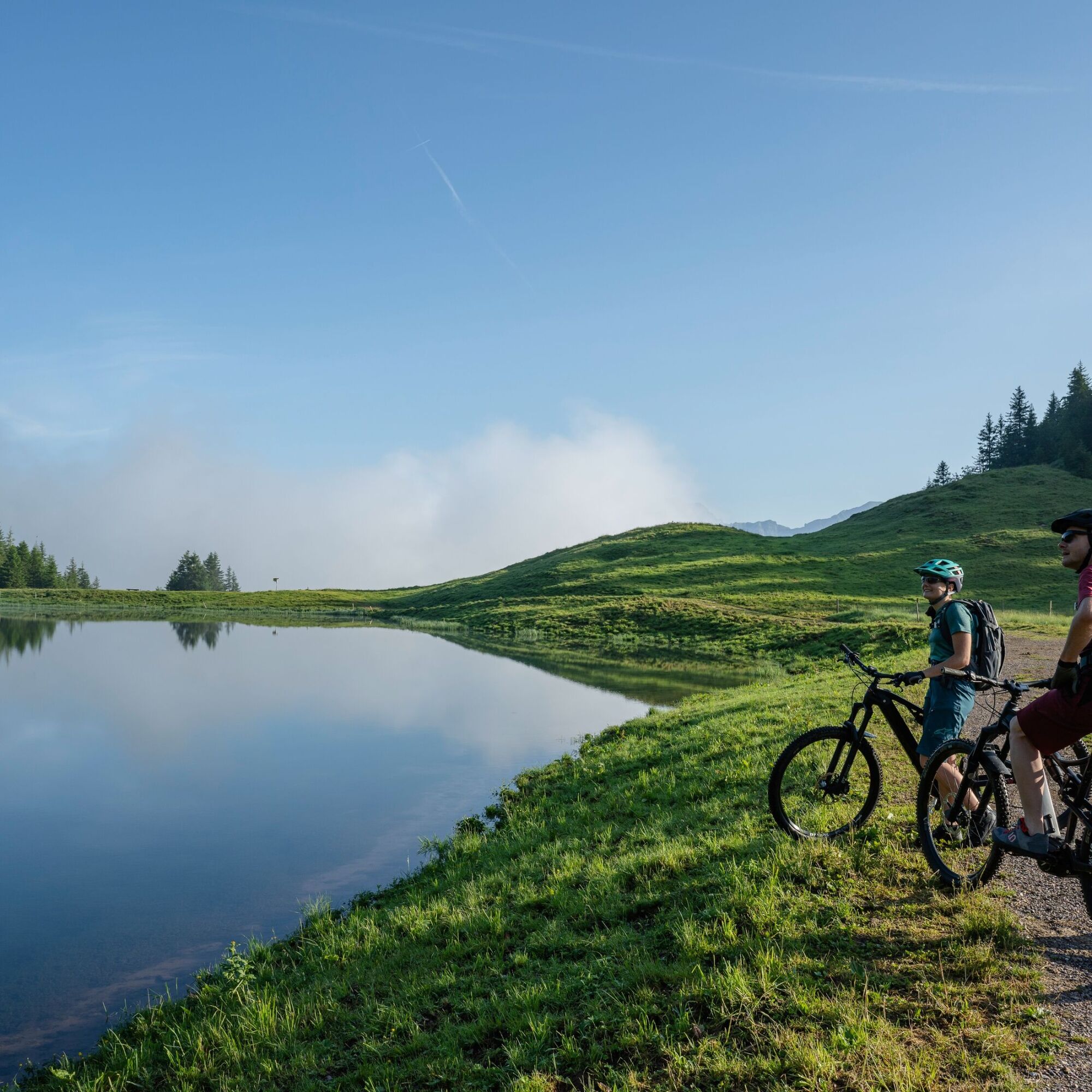
The start and finish of this bike route is Flumserberg Tannenbodenalp. Following a wide, gently ascending natural road, the first section leads to Seebenalp. The high plateau with three mountain lakes is characterized by idyll and incomparable natural beauty. Directly on the lake is the traditional hotel/restaurant with a large sun terrace.
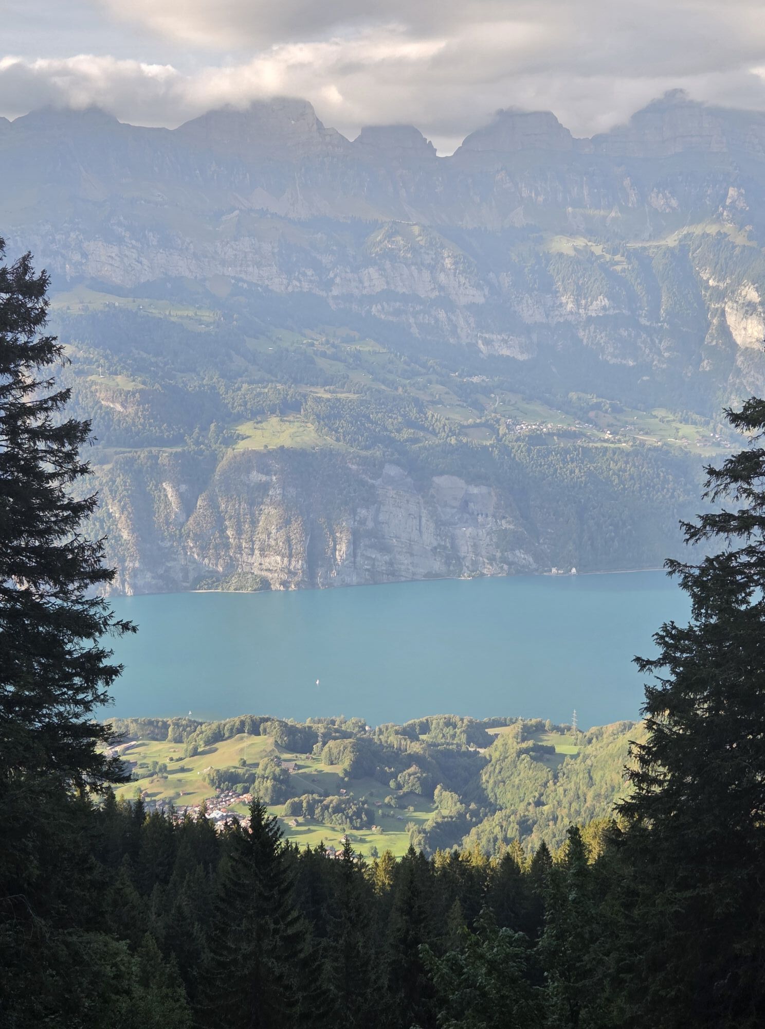
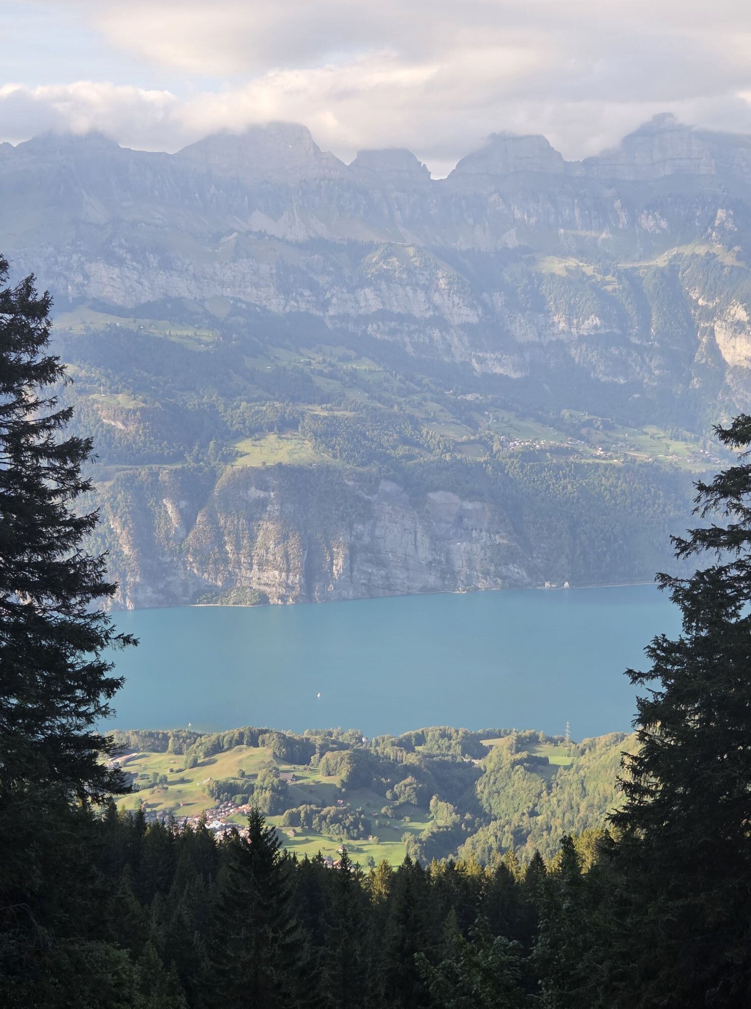
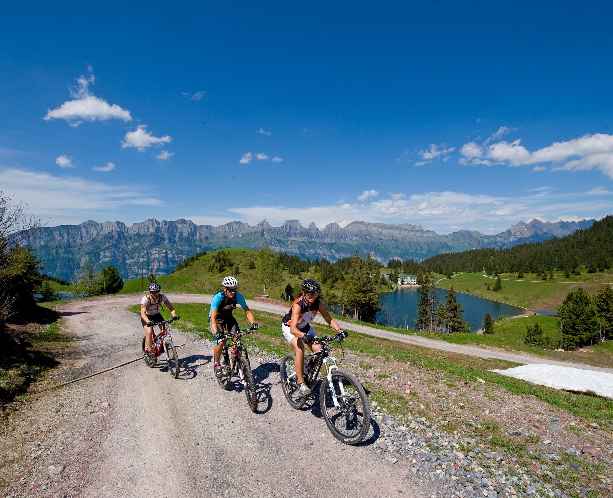
The route then ascends a bit steeper through a blooming landscape to Maschgenkamm, where the highest point of the route is located. The effort is rewarded with spectacular panoramas of Lake Walen and the striking Churfirsten peaks. These are a natural monument of national significance and also a geological rarity: due to a thrust fault, older rock layers lie above younger ones here.
On the other mountain side, the view opens to the Schilstal and Spitzmeilen. The subsequent descent takes place in two stages. First rough and tricky down to Alp Panüöl, then comfortable and relaxing past Prodalp back to Tannenbodenalp.

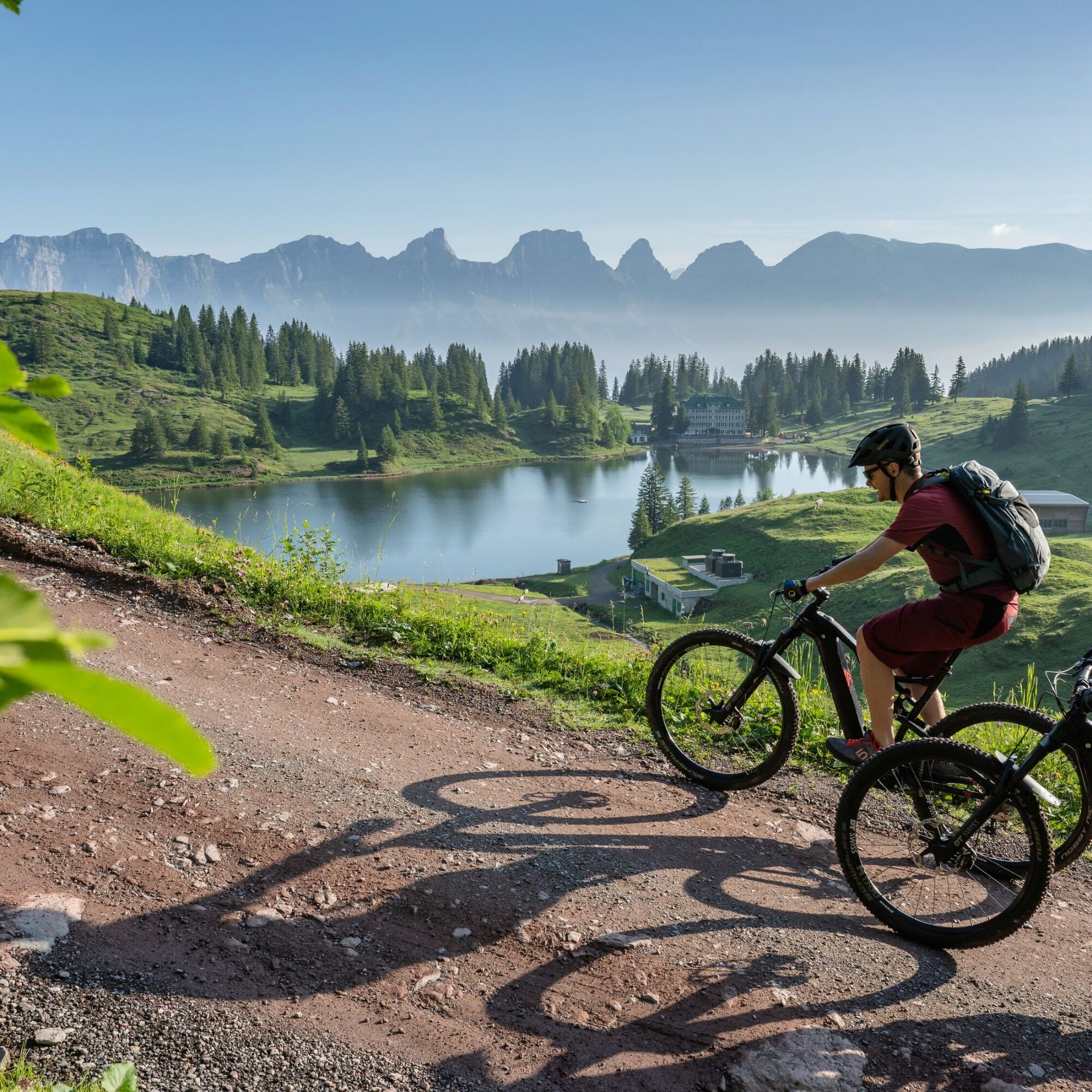
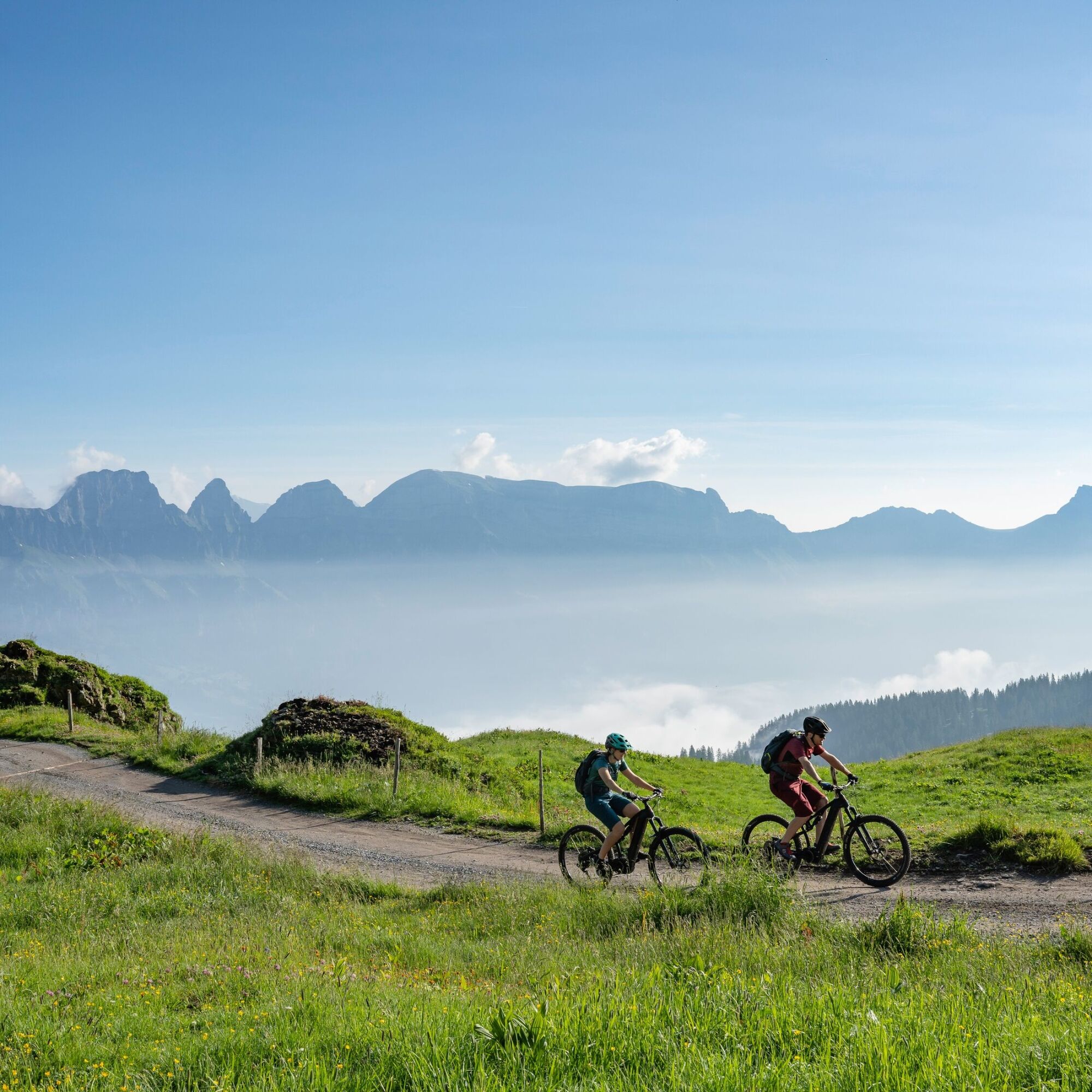

Tannenbodenalp - Seebenalp - Maschgenkamm - Panüöl - Prodalp - Tannenbodenalp
Normal bike equipment. Functional clothing is an advantage, as ascents and descents alternate.
The descent from the Maschgenlücke and the Alp Panüöl is technically demanding, so caution is advised here.
Motorway exit Flums, then on the main road to Flumserberg Tannenbodenalp.
Arrival at Flumserberg Tannenbodenalp by gondola from Unterterzen station (including bike transport).
Parking spaces are available both in Unterterzen and at Tannenbodenalp.
The parking spaces at Tannenboden are chargeable from 07:00 to 17:00. From 17:00 to 02:00, you may park the car for free.
From 02:00 to 07:00 a night parking ban applies. There are enough night parking spaces in the Tannenboden parking garage or at the Tannenheim.
The night parking lot can be used for a fee, but camping is prohibited.
S1
Heidiland Tourism, Flumserberg information office
T +41 81 720 18 18
www.heidiland.com
Those who want to extend the route start at Flums station and ride via Fäsch (side road) to Flumserberg Tannenbodenalp.

Kamery internetowe z trasy



Popularne wycieczki w okolicy
-
4,8
Walensee Riviera Weesen - Quinten
średniWędrówka 10,2 km -
4,7
Riviera Lake Walen Walenstadt-Quinten
średniWędrówka 10,4 km -
4,6
Weesen - Quinten - Walenstadt
ciężkiWędrówka 20,6 km -
4,5
7-Peak Tour Flumserberg
ciężkiWędrówka 15,0 km -
4,7
5-Seen Wanderung am Pizol
światłoWędrówka 10,1 km -
4,6
Pizol - Batöni - Weisstannen
ciężkiWędrówka 11,7 km -
4,9
Alpine and Cultural Trail Schrina
średniTrasa tematyczna 11,5 km -
4,7
Alvier
średniWędrówka 3,33 km -
4,6
4-Summit-Route Flumserberg
średniWędrówka 8,65 km -
4,9
Fronalpstock GL
średniWędrówka 7,84 km

Wędrówki i tropienie


Nie przegap ofert i inspiracji na następne wakacje
Twój adres e-mail została dodana do listy mailingowej.





