







Mountain bike route to Tanzboden

Poziom trudności: S1
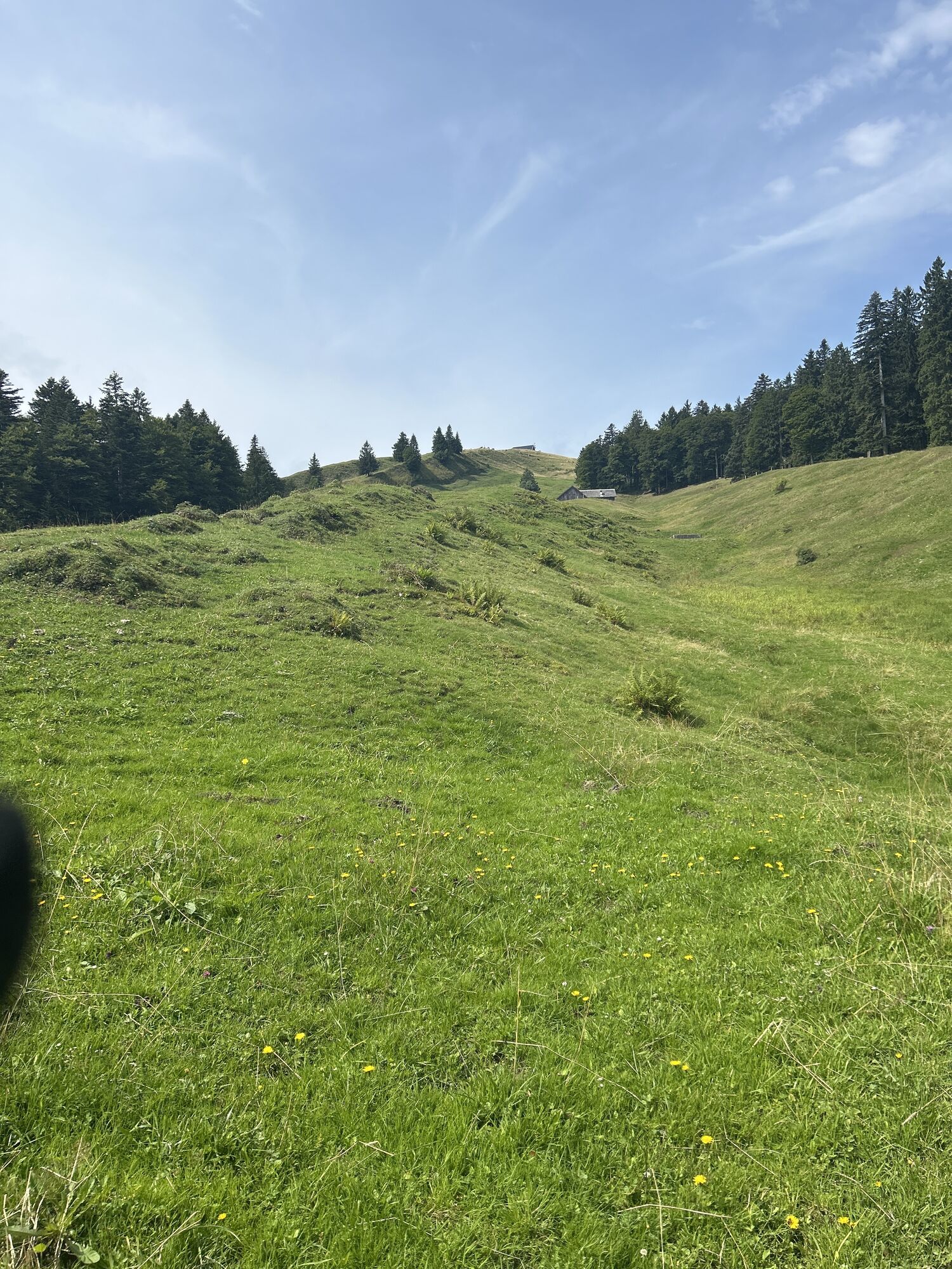
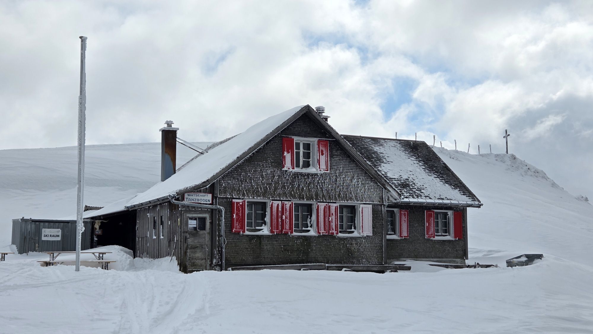
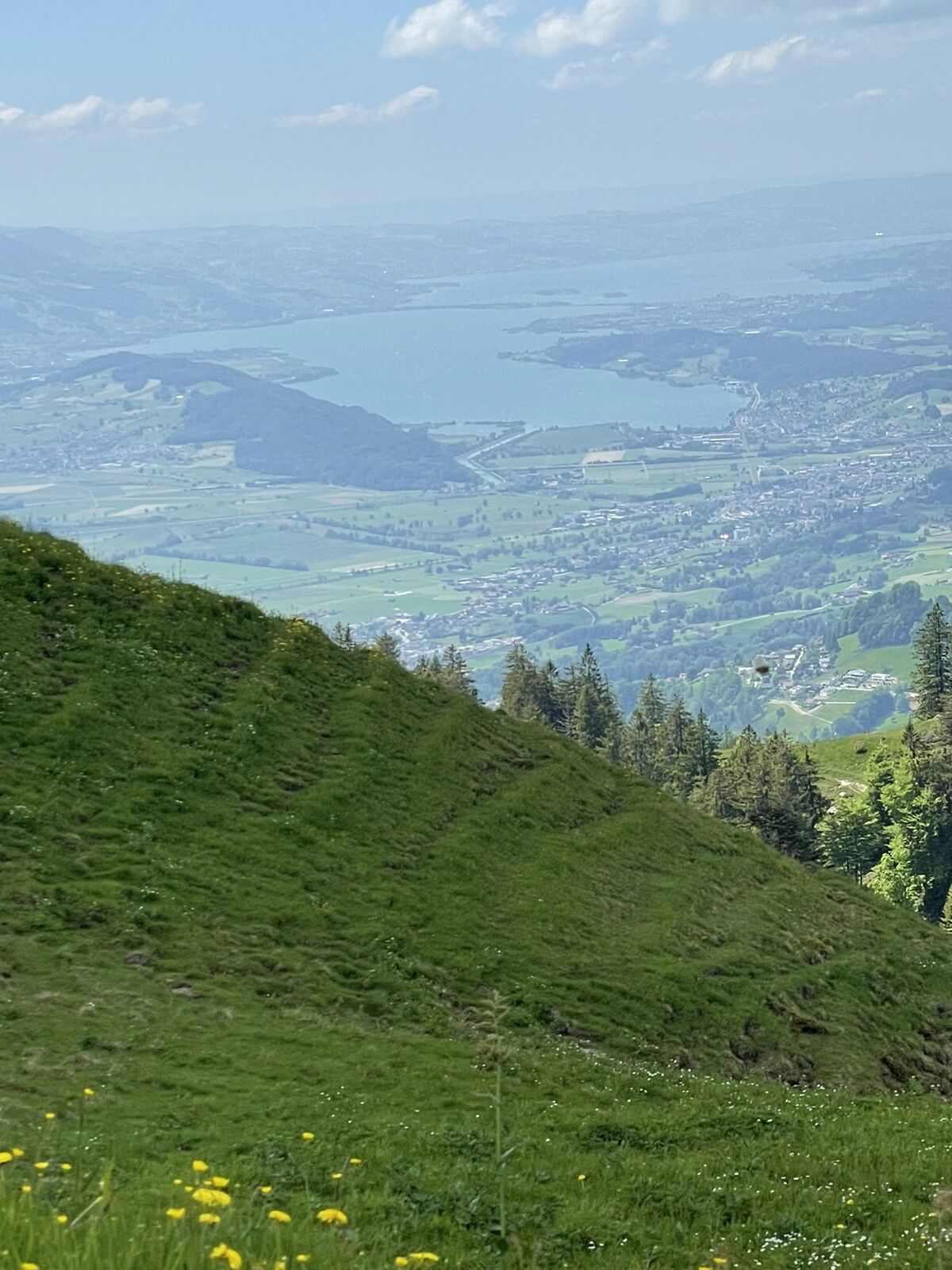
The Tanzboden and the eponymous alpine inn offer a magnificent viewpoint. Accordingly, this mountain is popular as a destination for both hikers and mountain bikers. The tour demands considerable physical...
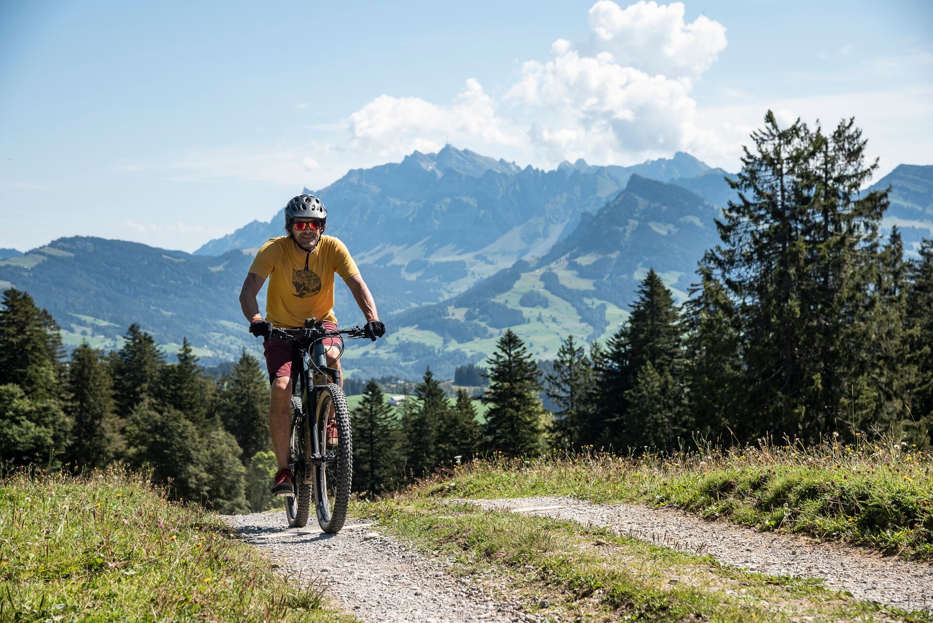
The Tanzboden and the eponymous alpine inn offer a magnificent viewpoint. Accordingly, this mountain is popular as a destination for both hikers and mountain bikers. The tour demands considerable physical effort from the latter with its 920 meters of elevation gain. However, the technical difficulties are moderate, making this route also suitable for mountain bike beginners.
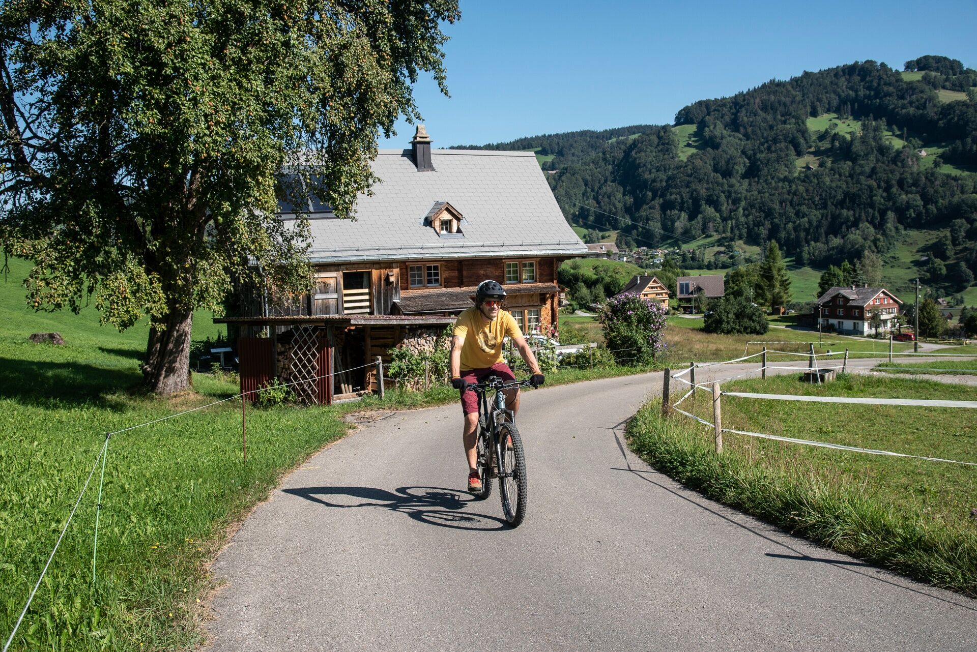
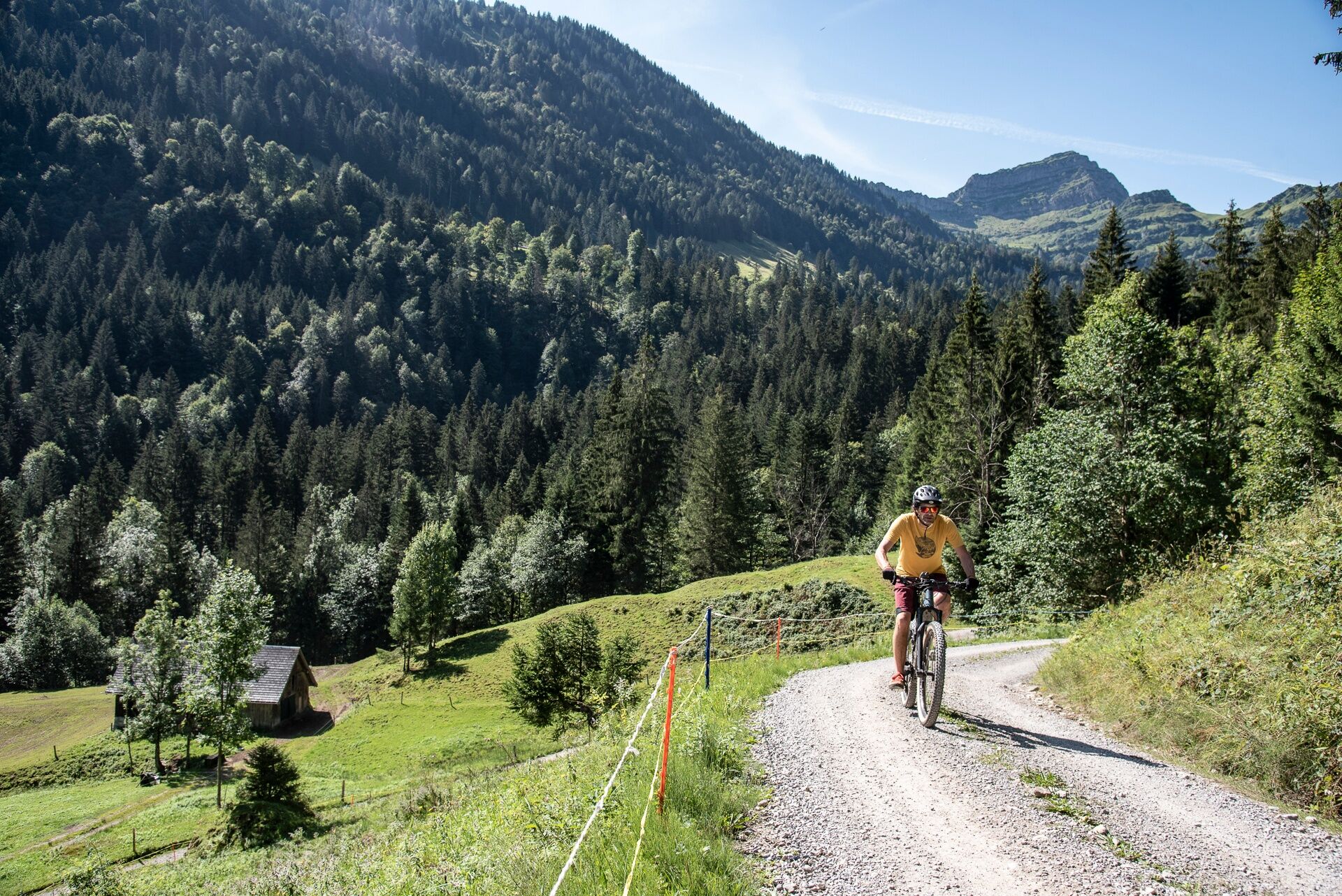
The route starts at the Ebnat-Kappel train station. From there, lightly trafficked paved roads run above the Thur through an alpine landscape with picturesque farmhouses. Apart from a few short, steep sections, the gradient is moderate, allowing you to reach the idyllic Steintal without much sweating. At the valley floor, the uphill challenge begins. The tarmac ends, and the next 600 meters of elevation to the summit are covered on a gravel road. This passes through a shady forest and allows steady pedaling for the first 400 meters of elevation gain.
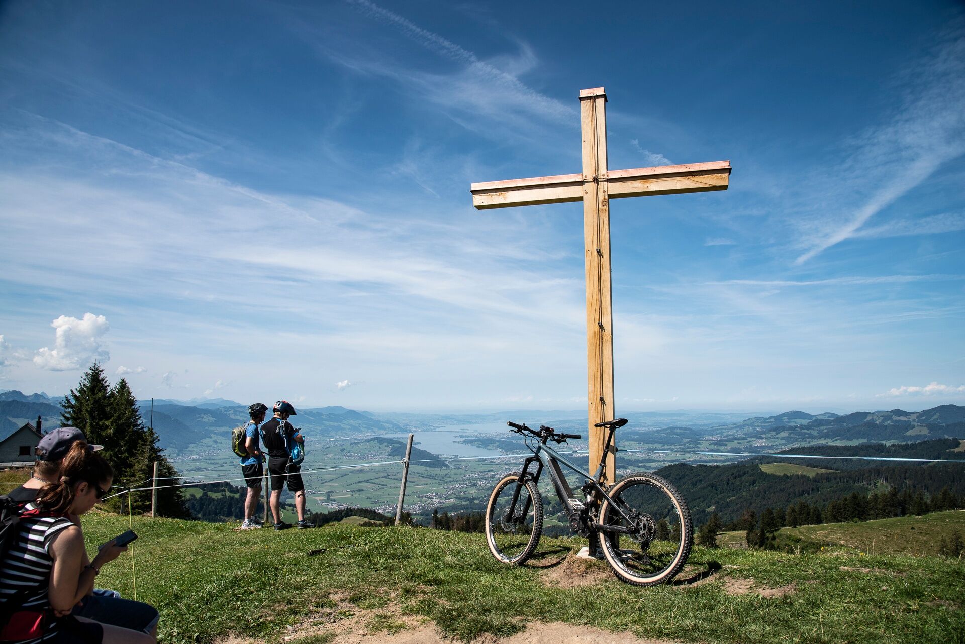
The final section requires a special effort as the steepness increases. Here, short, very steep ramps alternate with flatter sections that allow you to control your breathing. The reward for the effort is a 360-degree panoramic view – and of course the stop at the Tanzboden alpine inn (E-bike charging available) with its cozy terrace arranged on both sides of the building depending on the guests' desired view. The descent follows the ascent path back down.
E-bike charging available:
Alpine inn Tanzboden
Note(s)
Routes are only marked in the direction recommended by bikers.
Alpine inns / mountain restaurants may not be open daily. Check before your tour.
Tanzboden: Tel: +41 (0)55 283 12 18
Speer, Steintal: Tel: +41 (0)71 993 18 13



Ebnat-Kappel - Blomberg - Schorüti - Steintal - Tanzboden - Schwändiegg - Cholwald - Bachmannsberg - Rieden - Gommiswald - Churzschwändi - Eich - Ricken - Rickenhof - Ebnat-Kappel
Tak
Traffic-safe mountain bike with suspension, bike helmet, optionally elbow and knee protectors, optionally back and shin protectors, day bike backpack (approx. 20 liters) with rain cover, mountain bike shoes with ankle protection, weather-appropriate and durable clothing in a multi-layer system (e.g. functional shirt, cycling jersey, bib shorts, arm and leg warmers), shatterproof cycling glasses, full-finger gloves, pump, bike tools, sun and rain protection, provisions and drinking water, water bottle and suitable holder, first aid kit, pocket knife, mobile phone, optionally mobile phone holder for the handlebar, optionally headlamp and reflectors, map material
S1
Toggenburg Tourism
Hauptstrasse 104
9658 Wildhaus
+41 71 999 99 11
info@toggenburg.swiss
www.toggenburg.swiss
A camera is a must on this route.
Kamery internetowe z trasy

Popularne wycieczki w okolicy
-
4,8
Walensee Riviera Weesen - Quinten
średniWędrówka 10,2 km -
4,6
Weesen - Quinten - Walenstadt
ciężkiWędrówka 20,6 km -
4,7
Amden - Speer (Rundkurs)
światłoWędrówka 17,6 km -
4,8
Arvenbüel - Egg - Alp Looch - Leistchamm
średniWędrówka 11,4 km -
4,3
Schnebelhorn Rundwanderung
średniWędrówka 11,9 km -
3,8
Seerenbach Falls and Rin spring
światłoWędrówka 4,38 km -
5,0
Ski tour on the Selun
ciężkiWycieczka narciarska 11,8 km -
4,5
Winter hiking Wintersagenweg Toggenburg
średniWędrówka zimą 8,72 km -
5,0
Snowshoe route from Sellamatt to the Zinggen pub via Mittelstofel
średniRakieta do chodzenia po śniegu 4,89 km -
4,5
Filzbach - Talalpsee - Habergschwänd
średniWędrówka 7,45 km

Wędrówki i tropienie


Nie przegap ofert i inspiracji na następne wakacje
Twój adres e-mail została dodana do listy mailingowej.





