© Heidiland Tourismus - Ramona Saxer

- Krótki opis
-
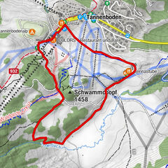
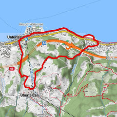
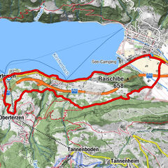
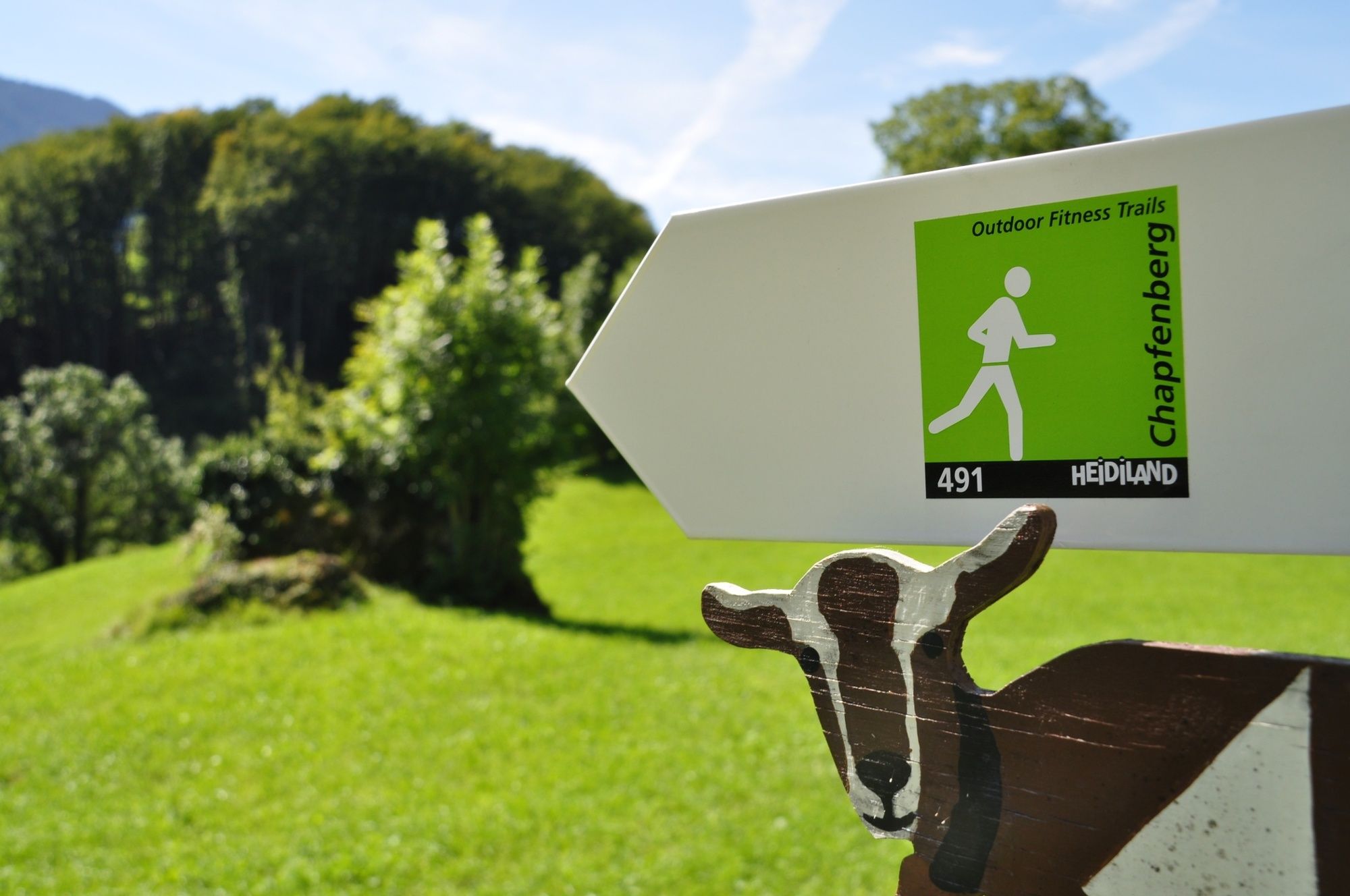
Short and hard! Although the Chapfenberg-Trail has a relatively short distance to cover, the trail is very tough. The ascent as well as the descent are short and heavy.
- Stopień trudności
-
łatwe
- Ocena
-
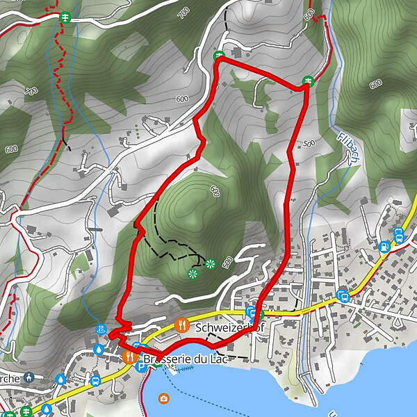
- Trasa
-
Weesen (See) (424 m)Weesen (423 m)0,1 kmMietsack1,8 km
- Najlepszy sezon
-
stylutmarkwimajczelipsiewrzpaźlisgru
- Najwyższy punkt
- 584 m
- Miejsce docelowe
-
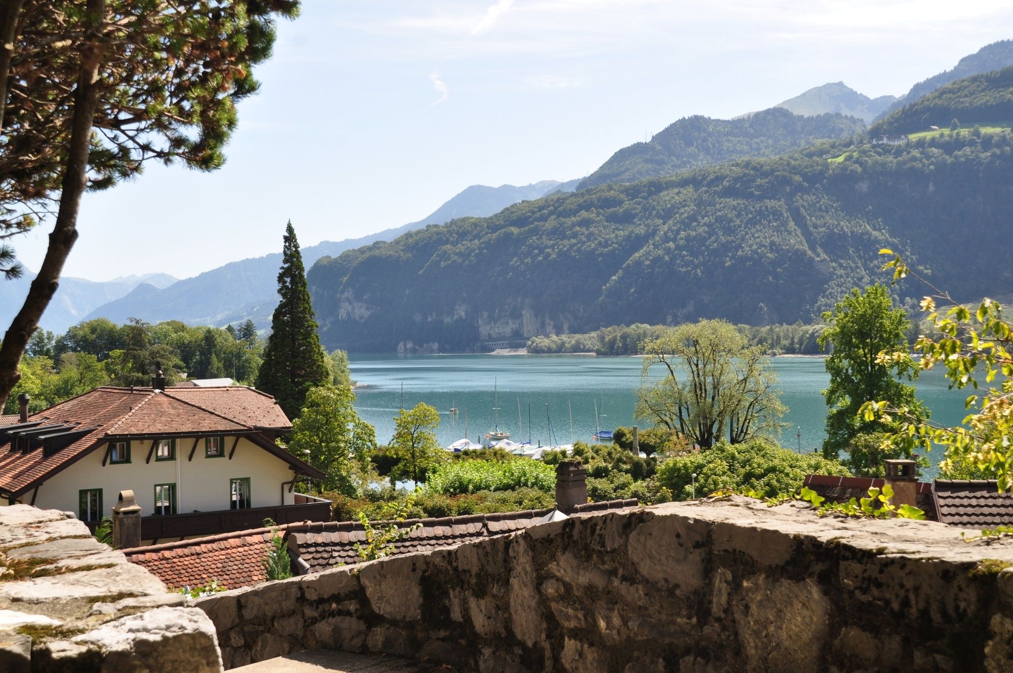
Weesen, Infopoint der Station Weesen
- Profil wysokości
-
 © outdooractive.com


-

-
AutorWycieczka Chapfenberg trail 491 jest używany przez outdooractive.com pod warunkiem.
GPS Downloads


Informacje ogólne
Przystanek odświeżania
Obiecujący
Więcej wycieczek w regionach