






Raischiben Trail 454
Poziom trudności: 2
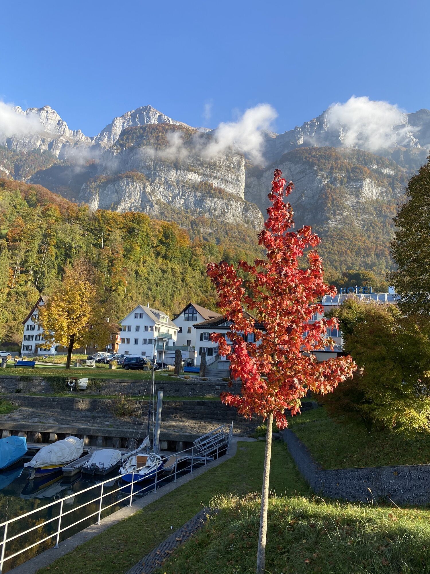
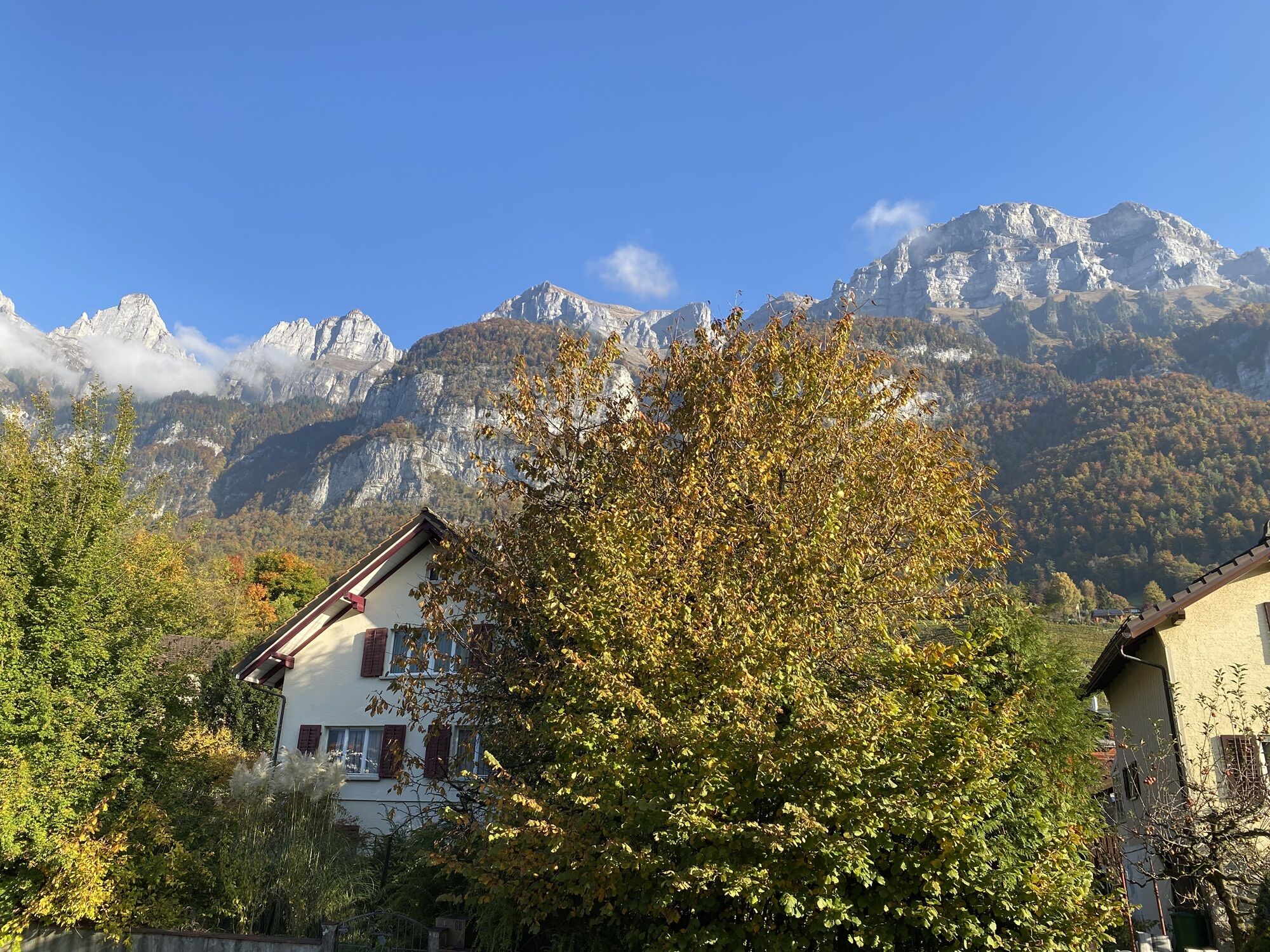
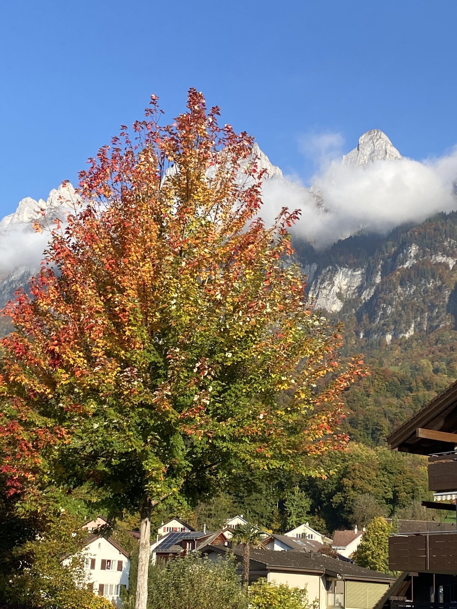
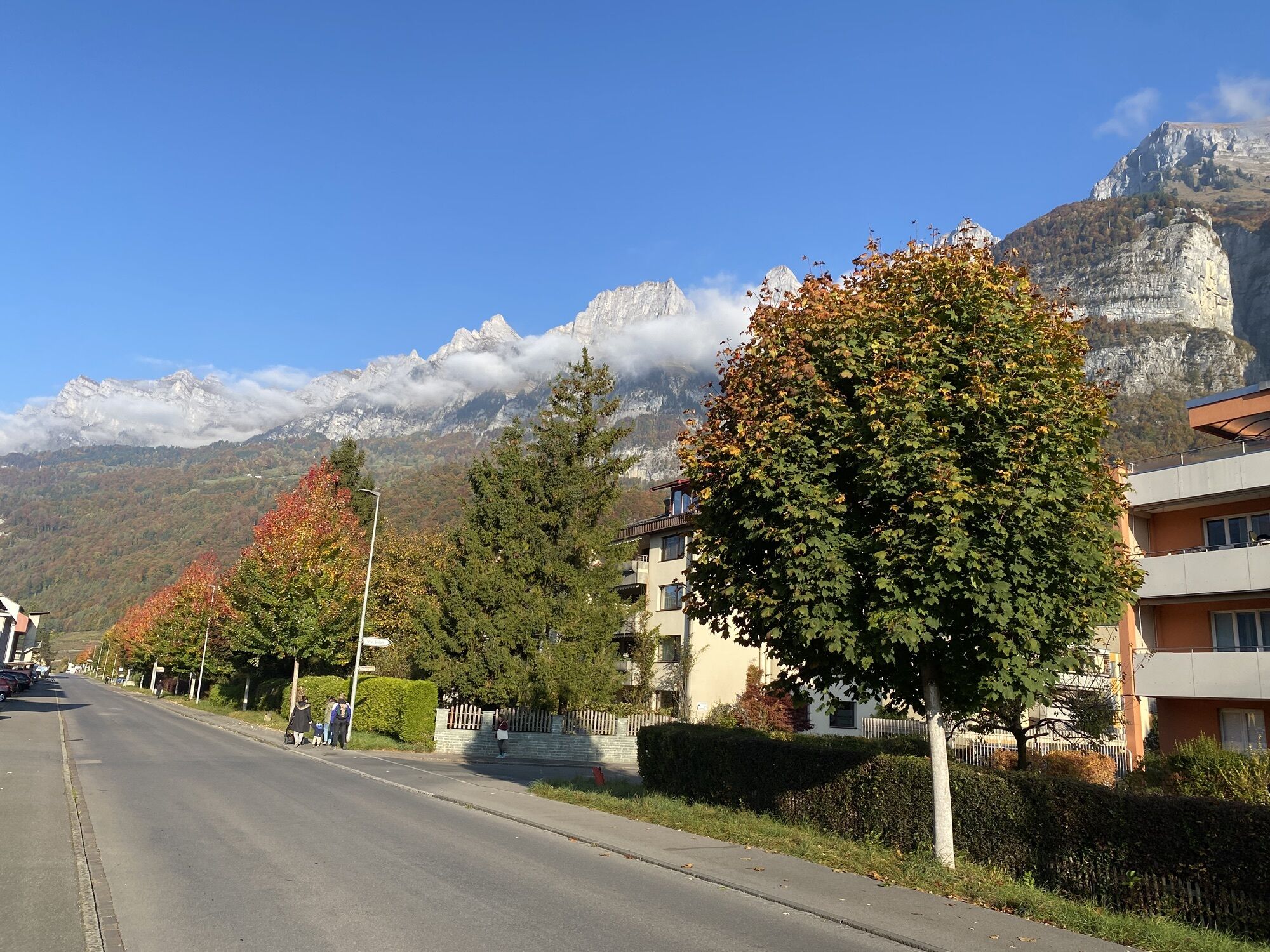
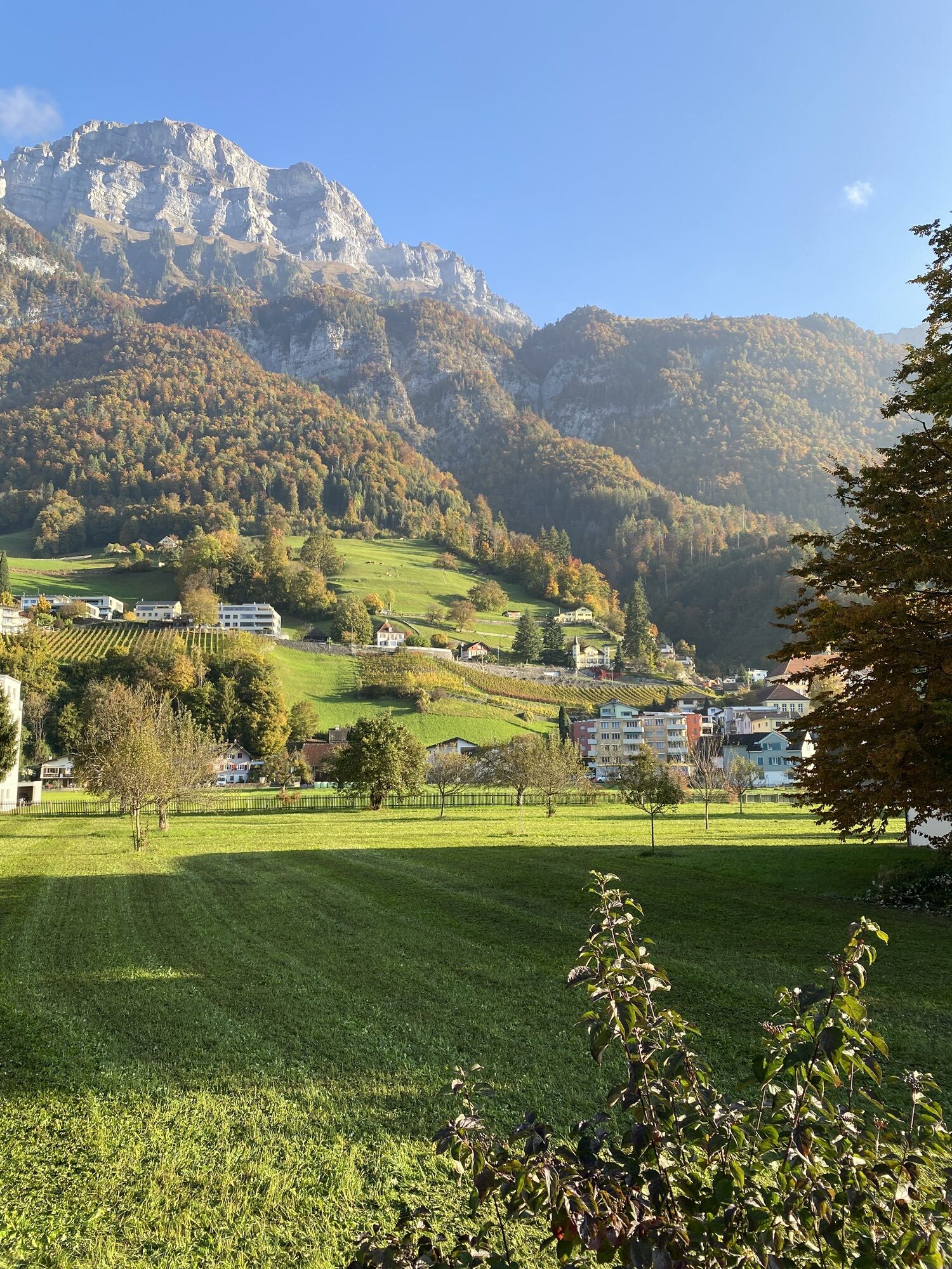
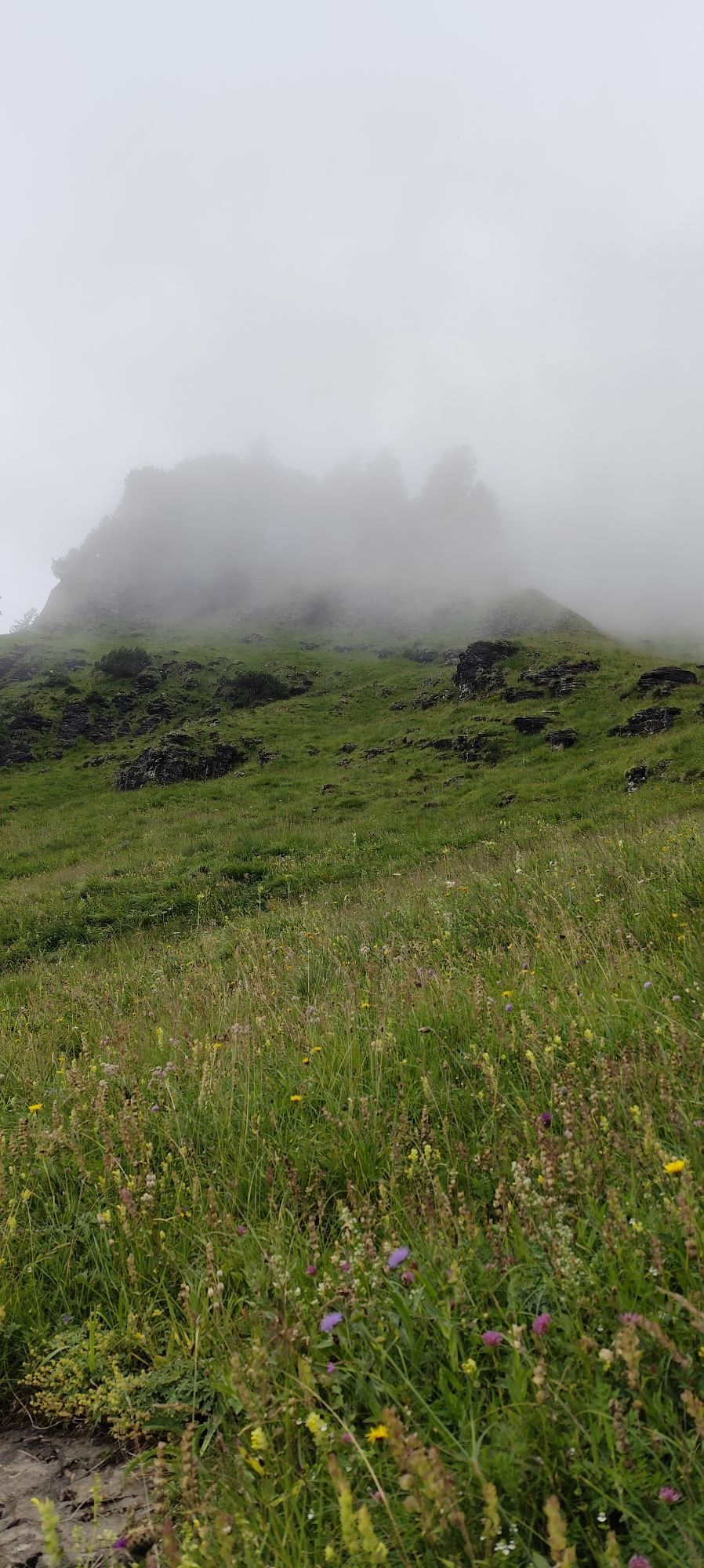
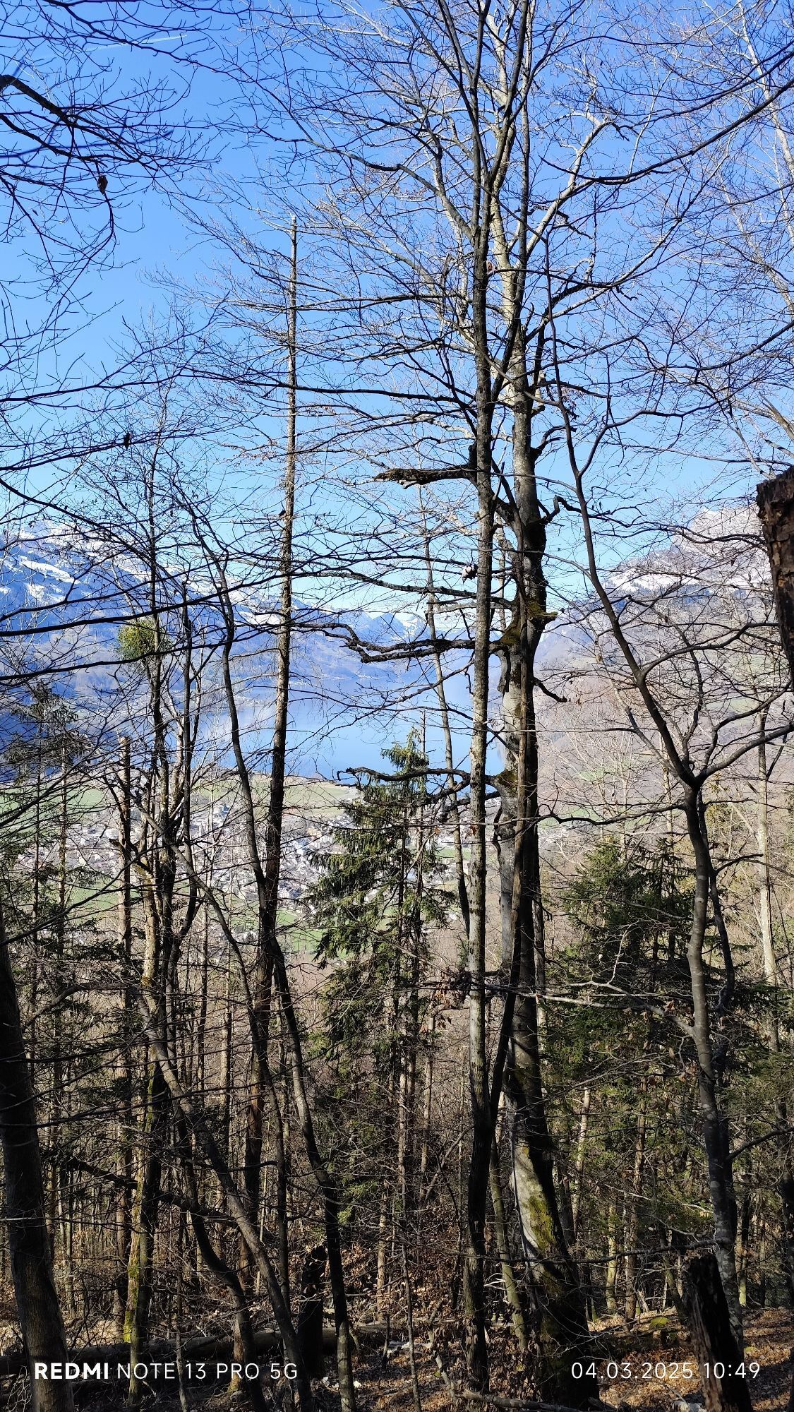
The outdoor fitness trails in the Heidiland holiday region include over 30 uniformly signposted running routes from a total of 10 stations, thus forming one of the largest outdoor fitness parks in the...
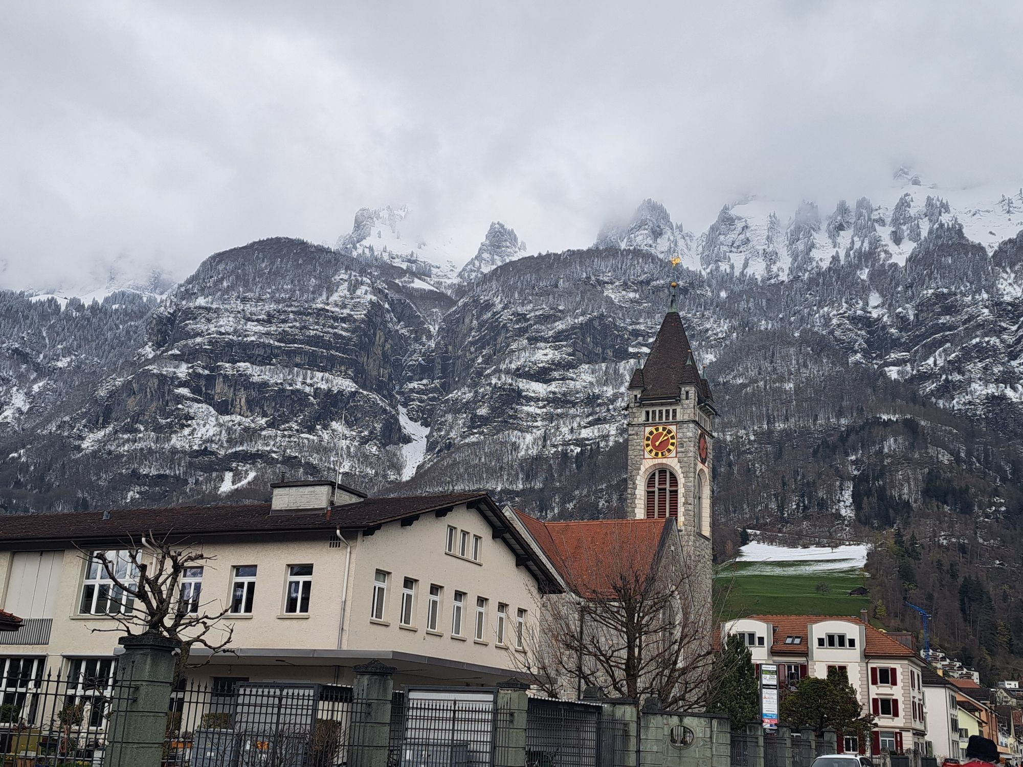
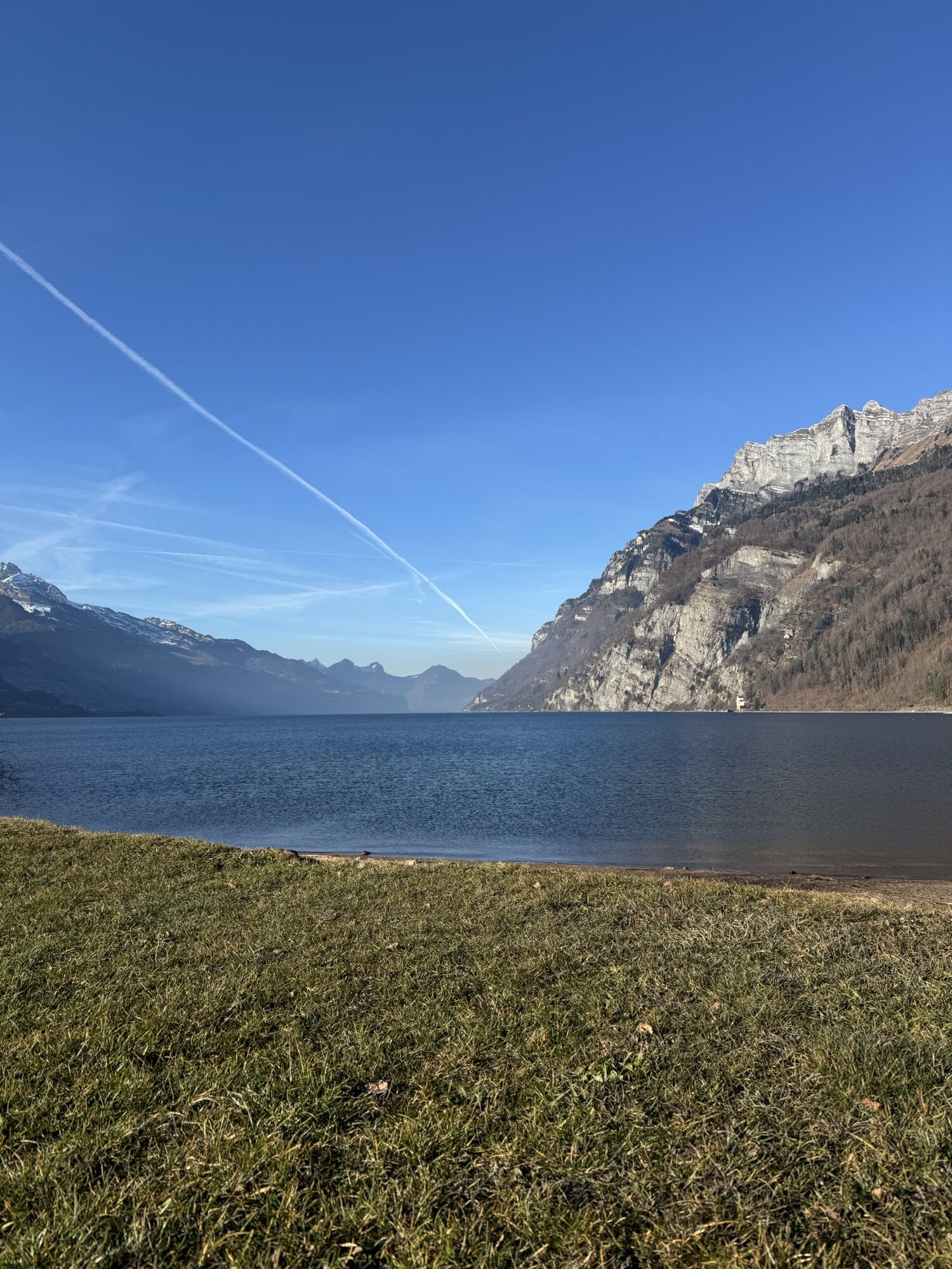
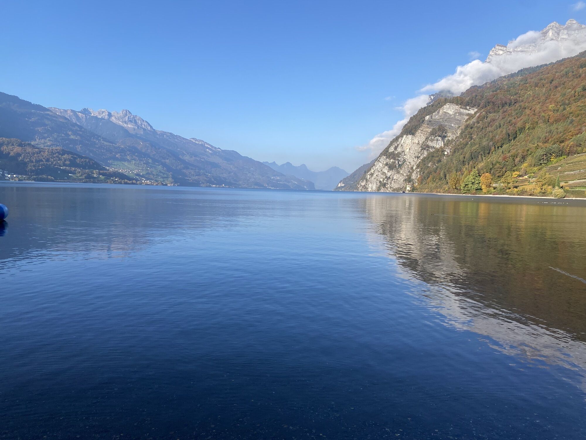
The outdoor fitness trails in the Heidiland holiday region include over 30 uniformly signposted running routes from a total of 10 stations, thus forming one of the largest outdoor fitness parks in the Alpine region. The Raischiben Trail is one of four running routes around the Walenstadt station.
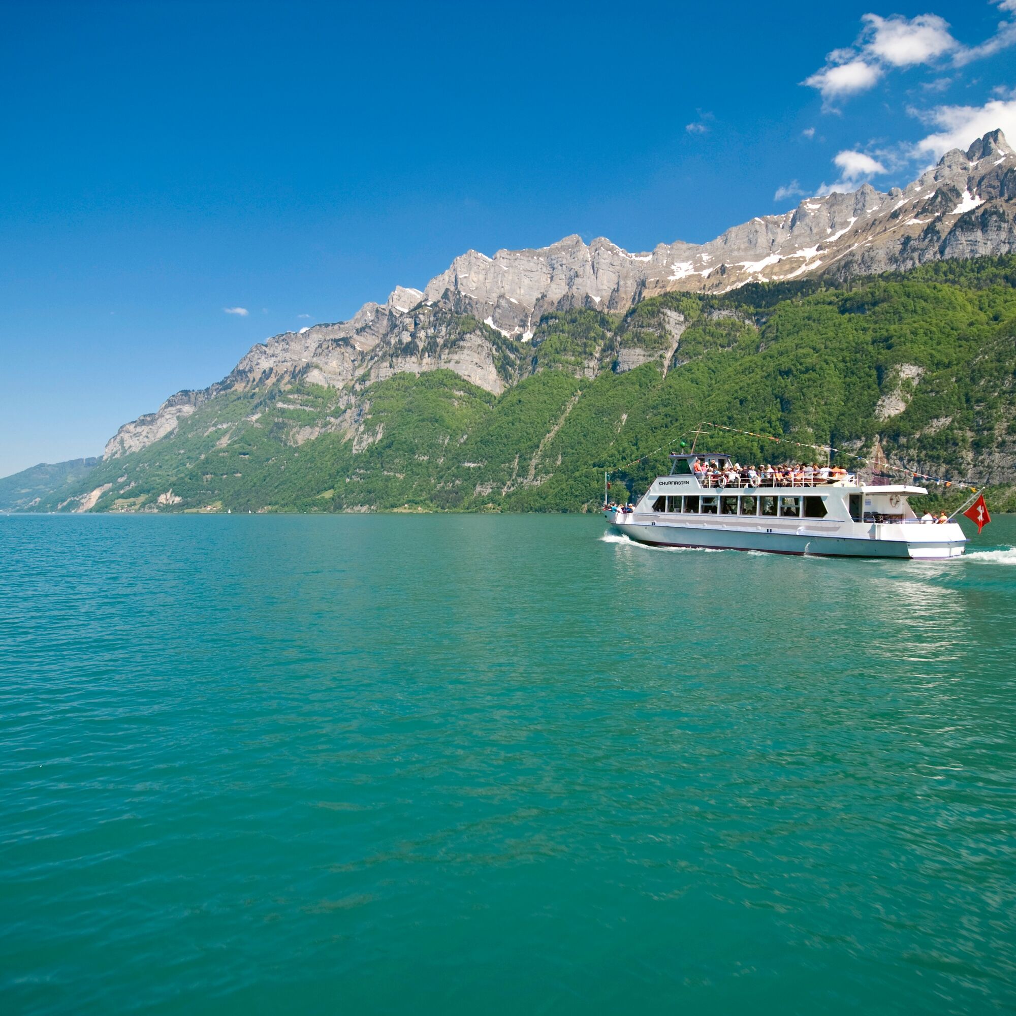
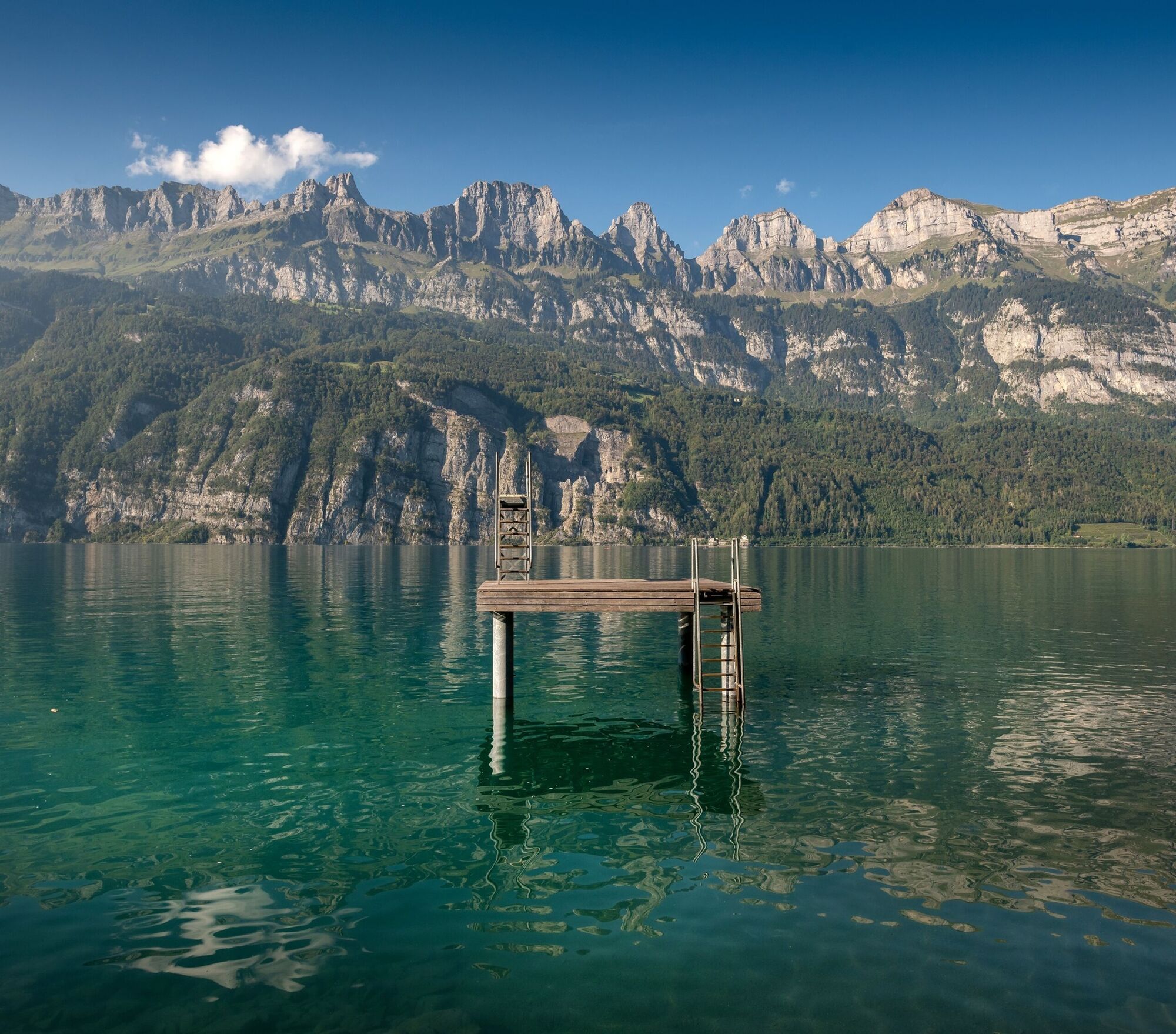
The starting point for this 10.7 km long trail is the info point of the Walenstadt station at the ship landing (425 m above sea level). From here, the trail leads right into the historic center of Walenstadt and from there along Bahnhofstrasse and through the underpass beneath the train station. For a few hundred meters, the Raischiben Trail now follows the railway line before sharply turning right onto a bridge. It then continues under the motorway to the Haggenriet farm settlement and the Äuli military shooting range. And now it really begins! On a well-developed country road, the steep ascent through a small deciduous forest to the Raischibli clearing (538) starts. Back in the forest, a short flat section and a brief descent follow – then it ascends again partially steeply to the highest point of the trail at 666 m above sea level. This is followed by the long descent via Nejenberg (617) and Tisen (486) to Mols (427), from where the trail leads on the paved lakeside path to the village exit. There, the trail turns onto the sidewalk of the cantonal road, which leads back to the village entrance of Walenstadt. As soon as the Seez is crossed, the trail turns left and follows the lake back to the starting point.

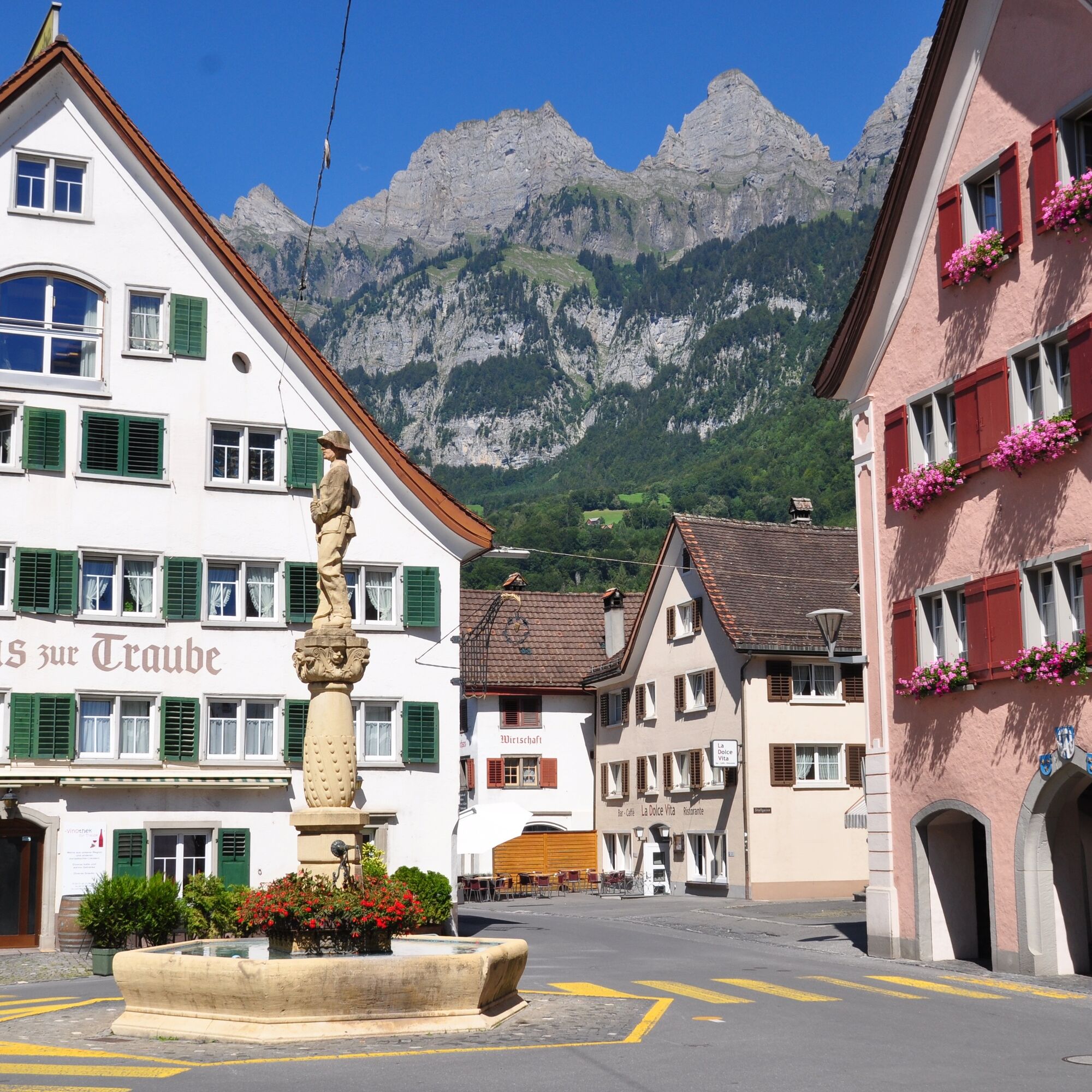
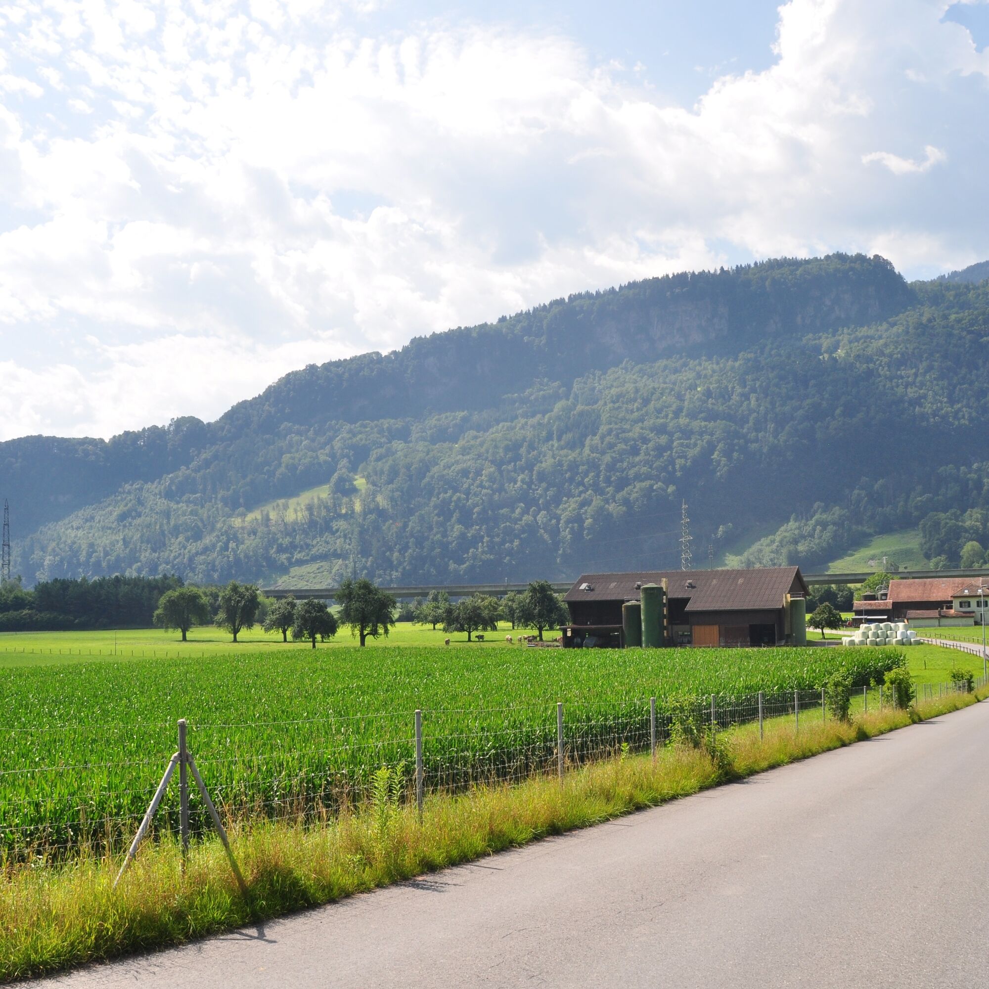
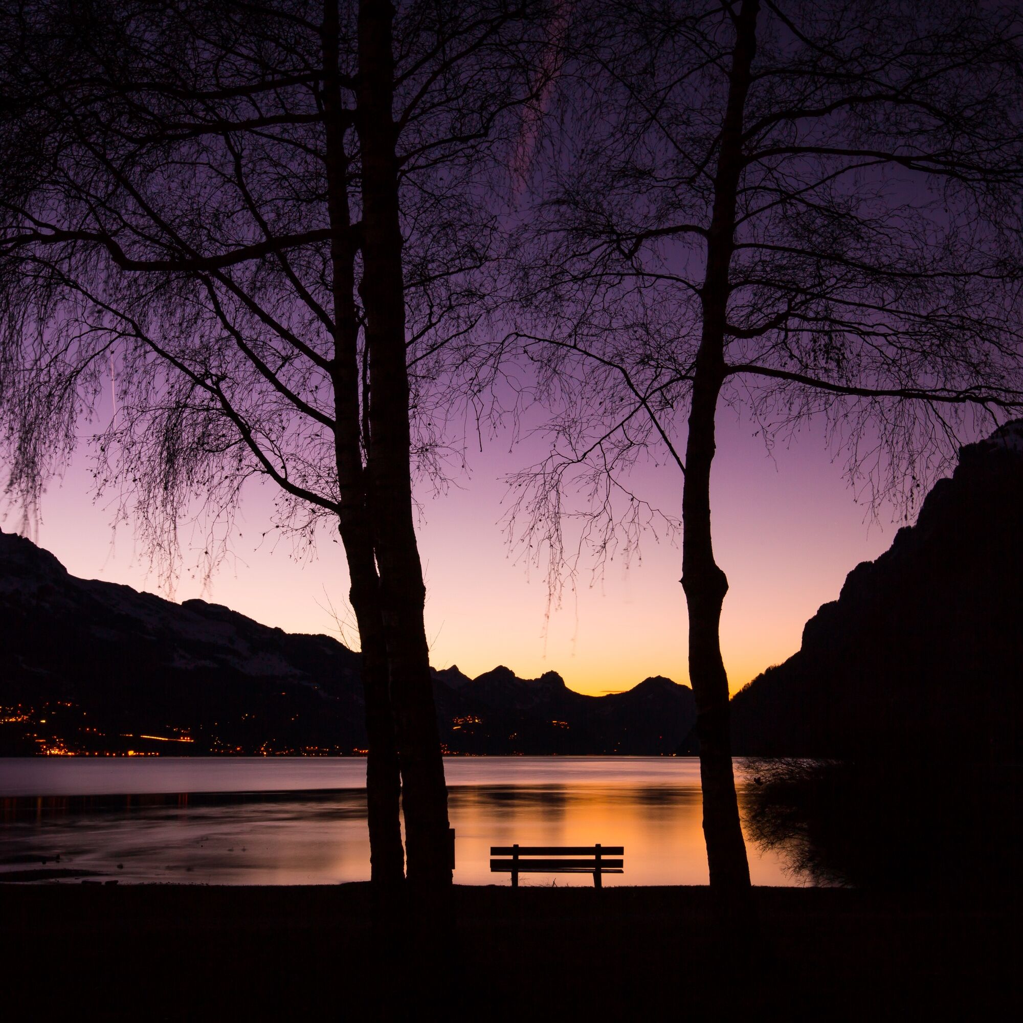
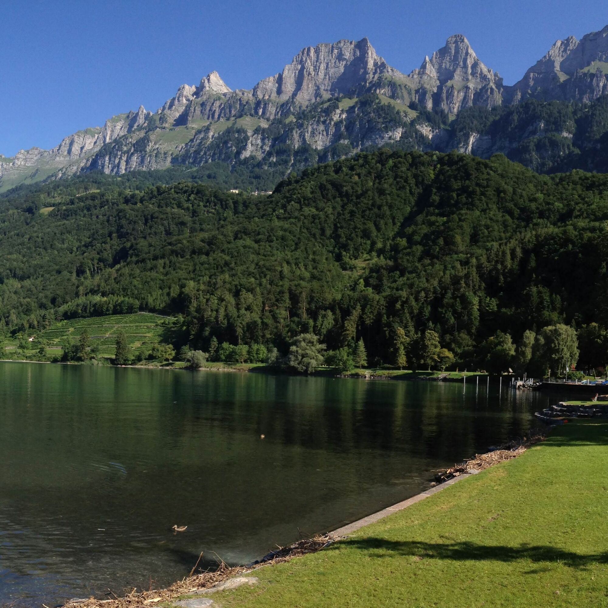

Walenstadt - Train station - Äuli - Raischibli - Nejenberg - Tisen - Mols - Walenstadt
Normal jogging gear, stable and comfortable footwear.
Depending on the weather, some spots can be slippery.
Motorway exit Walenstadt, then drive into the village center.
Arrival by train to Walenstadt and bus to Walenstadt Harbor
Daily to Walenstadt, then continue with bus 442 towards Flums, train station until the stop Walenstadt, Harbor.
Paid parking spaces are available directly next to the Seehof restaurant.
2
Heidiland Tourism, Unterterzen information office
T +41 81 720 17 17
www.heidiland.com
The outdoor fitness trails mostly run on official hiking paths. For orientation along the way, the hiking trail signage also helps.
Kamery internetowe z trasy
Uzyskaj wgląd
Zawsze na żywo z ponad 9 500 kamer internetowych. bergfex Jako użytkownik Pro, możesz teraz zobaczyć odpowiednie kamery internetowe dla wielu wycieczek w aplikacji wycieczki od. Pozwala to na bezpośredni podgląd aktualnych warunków.
Popularne wycieczki w okolicy
-
4,8
Walensee Riviera Weesen - Quinten
średniWędrówka 10,2 km -
4,8
Riviera Lake Walen Walenstadt-Quinten
średniWędrówka 10,4 km -
4,6
Weesen - Quinten - Walenstadt
ciężkiWędrówka 20,6 km -
5,0
Schrina Alp and Cultural Trail
średniTrasa tematyczna 11,5 km -
4,7
Alvier
średniWędrówka 3,33 km -
4,7
4-Summit-Route Flumserberg
średniWędrówka 8,65 km -
4,5
Säntis
średniWycieczki górskie 17,5 km -
4,4
7-Peak Tour Flumserberg
ciężkiWędrówka 15,0 km -
4,6
Amden - Speer (Rundkurs)
światłoWędrówka 17,6 km -
4,0
Winter hike on the Rosenboden panoramic circular route
światłoWędrówka zimą 2,95 km
Wędrówki i tropienie


Nie przegap ofert i inspiracji na następne wakacje
Twój adres e-mail została dodana do listy mailingowej.





