





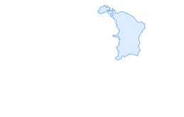

Sardona World Heritage Trail No. 73, Stage 6 (Elm - Flims)
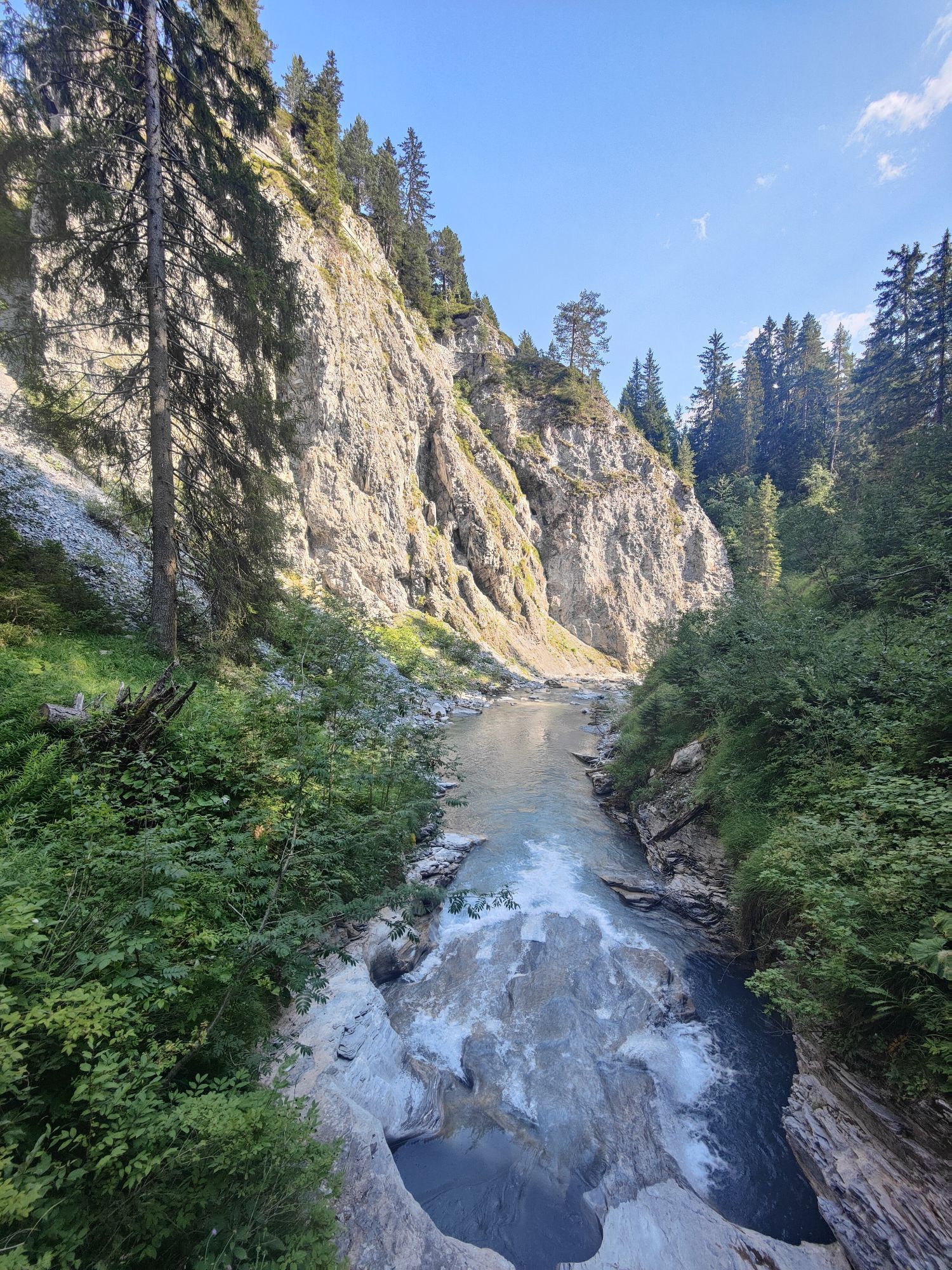
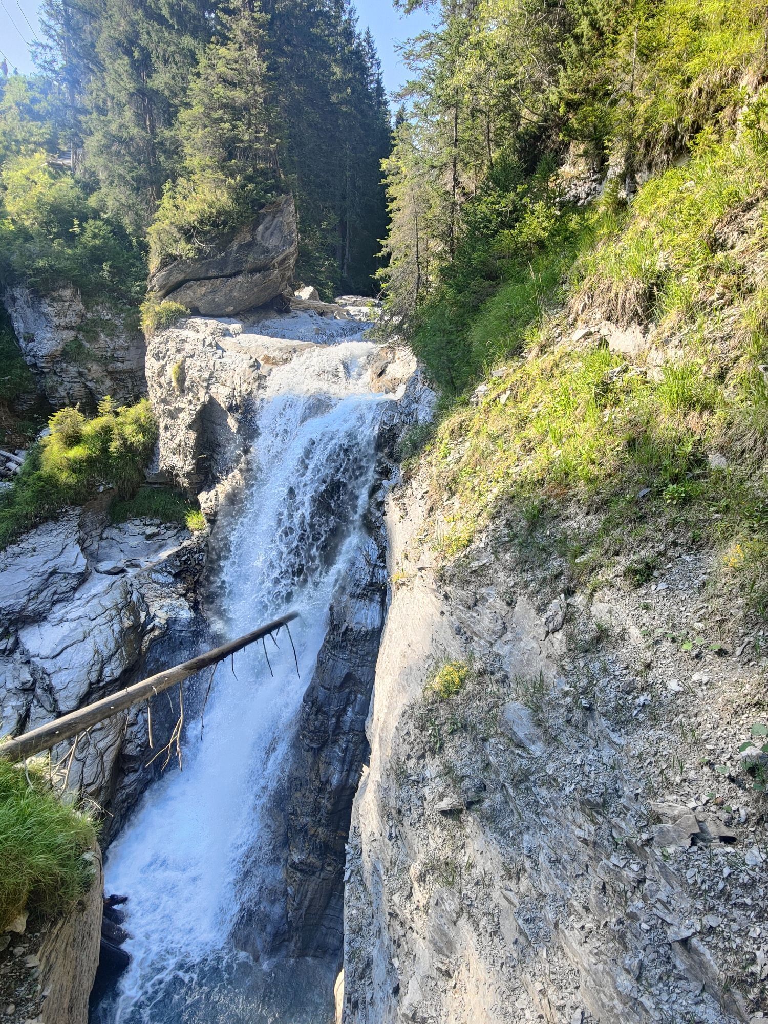
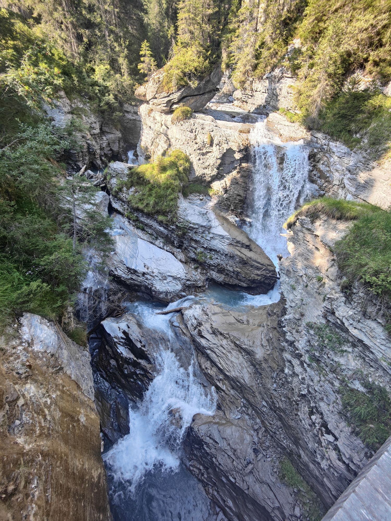
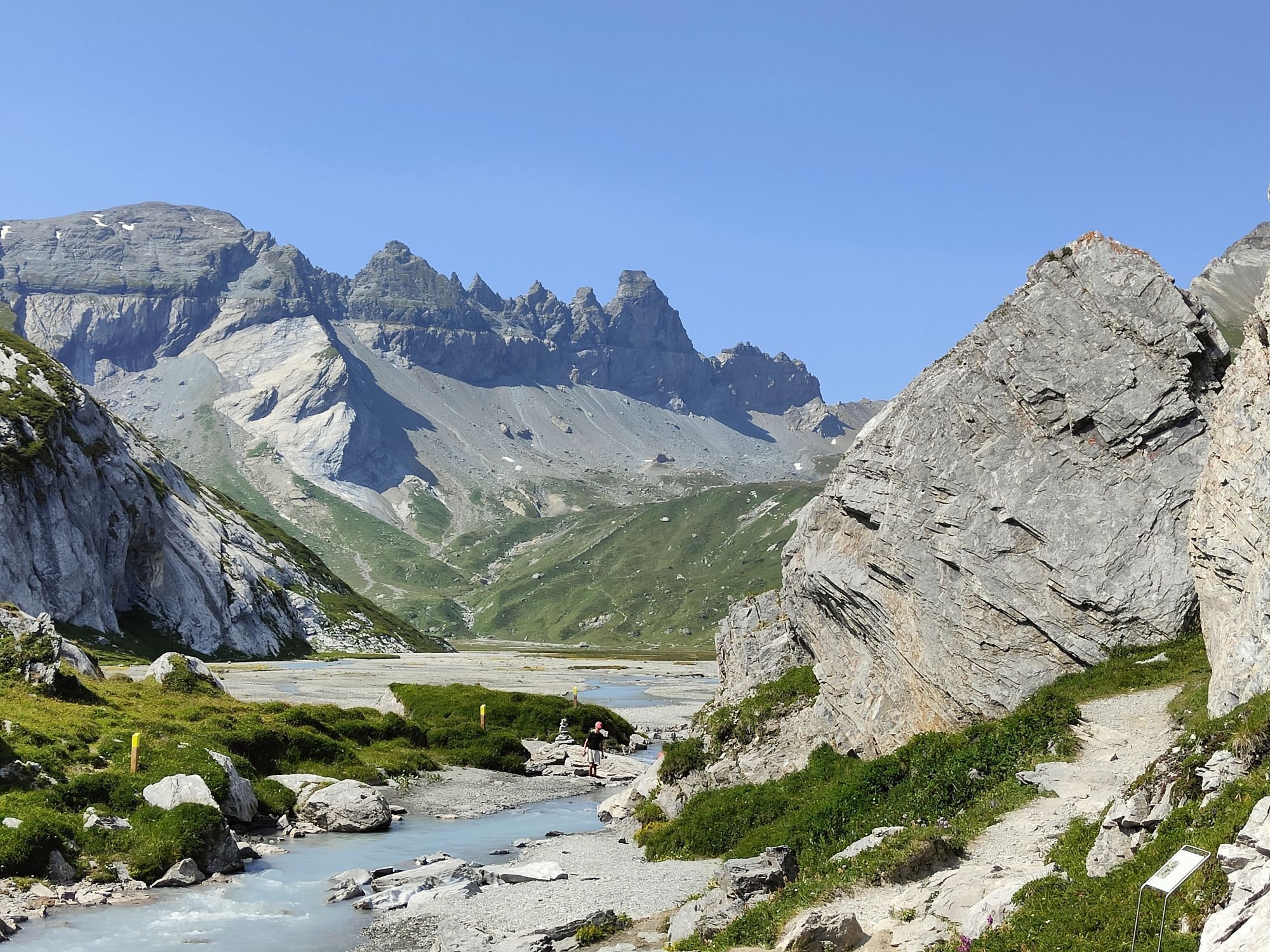
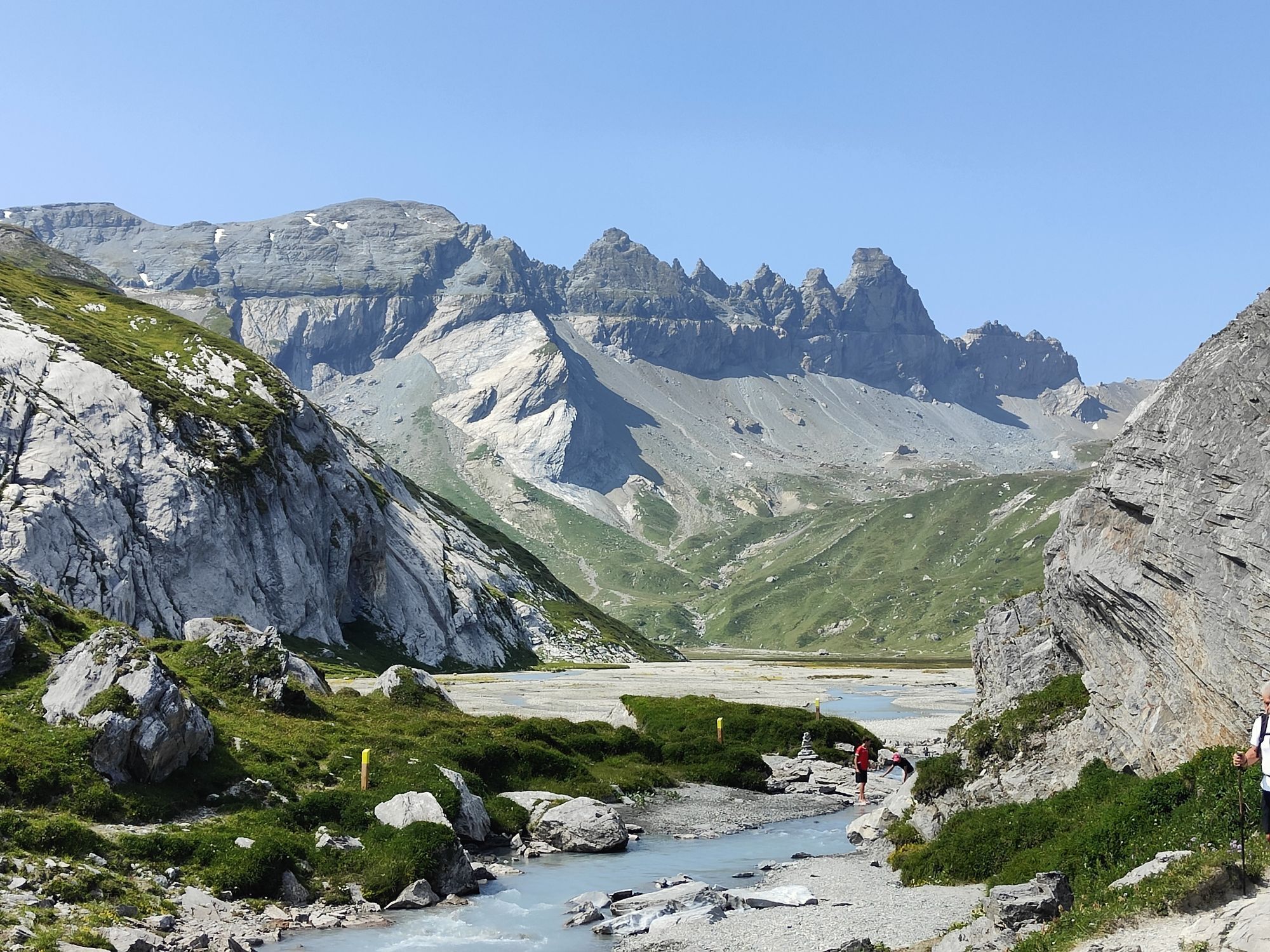
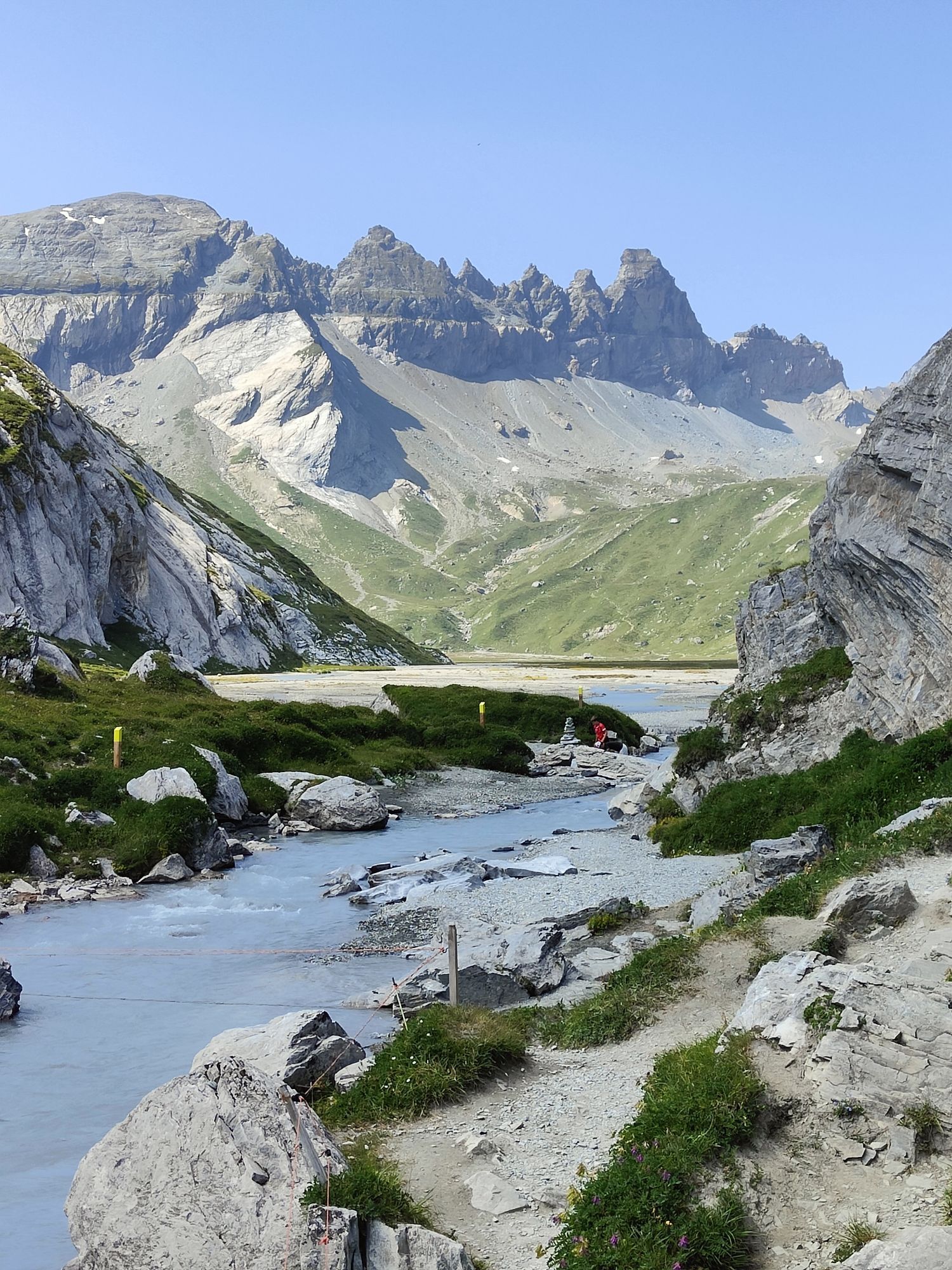
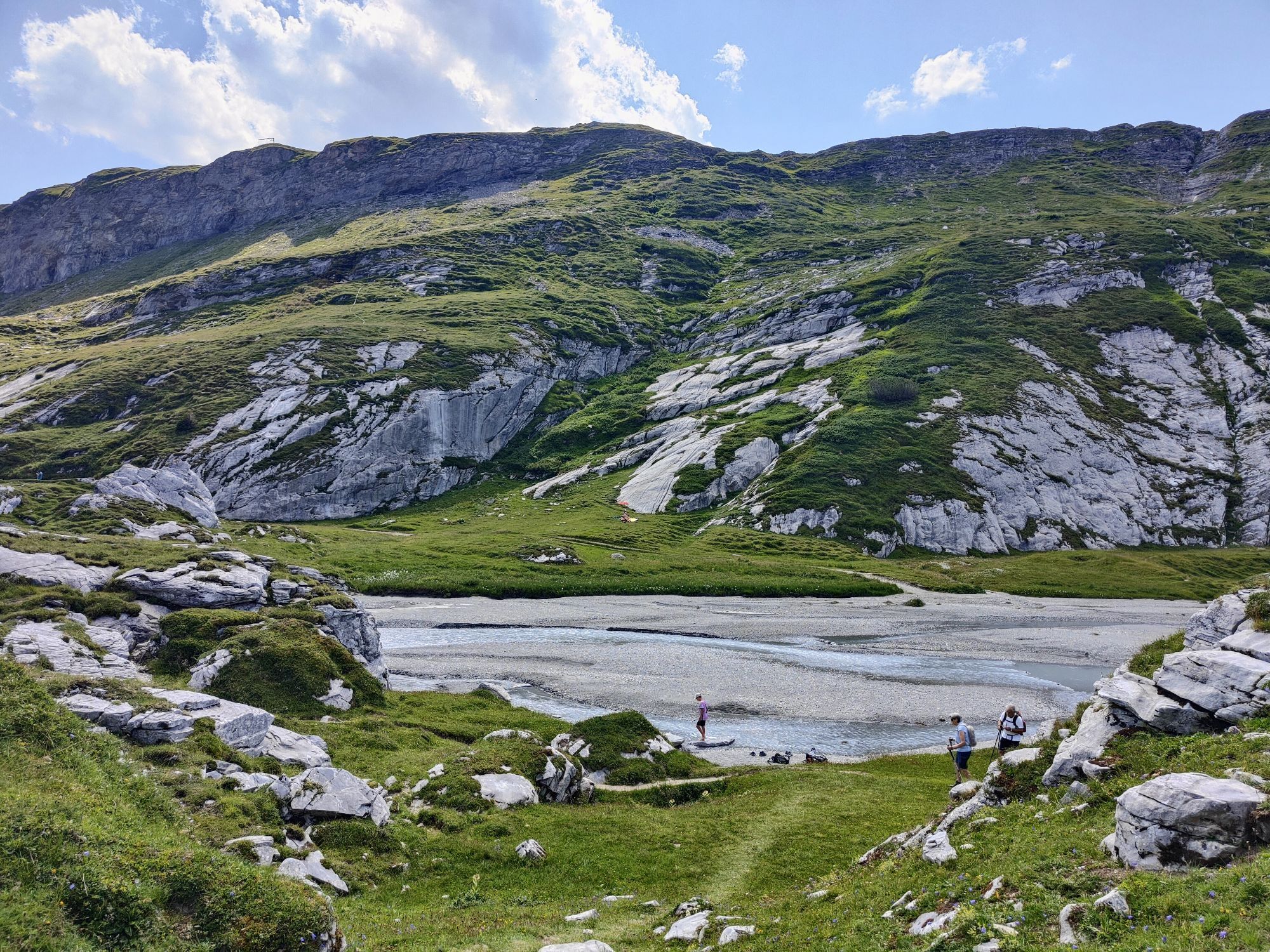
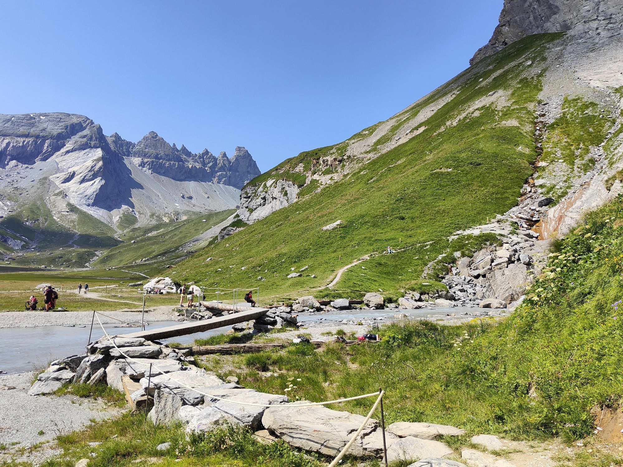
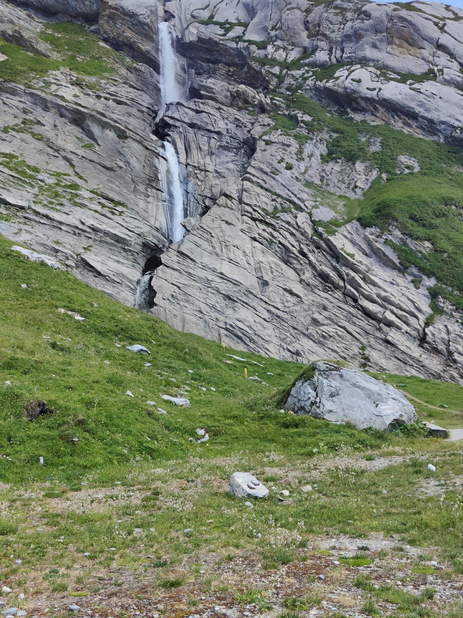
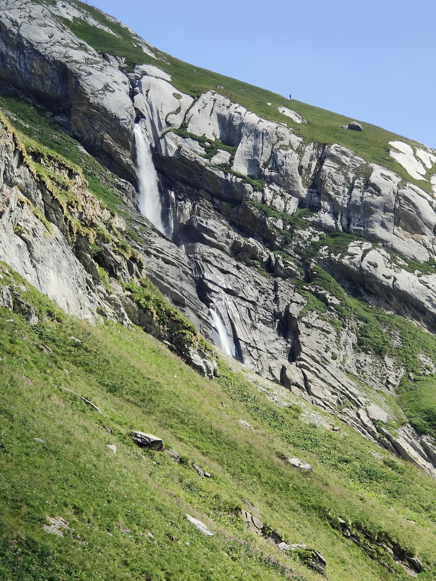
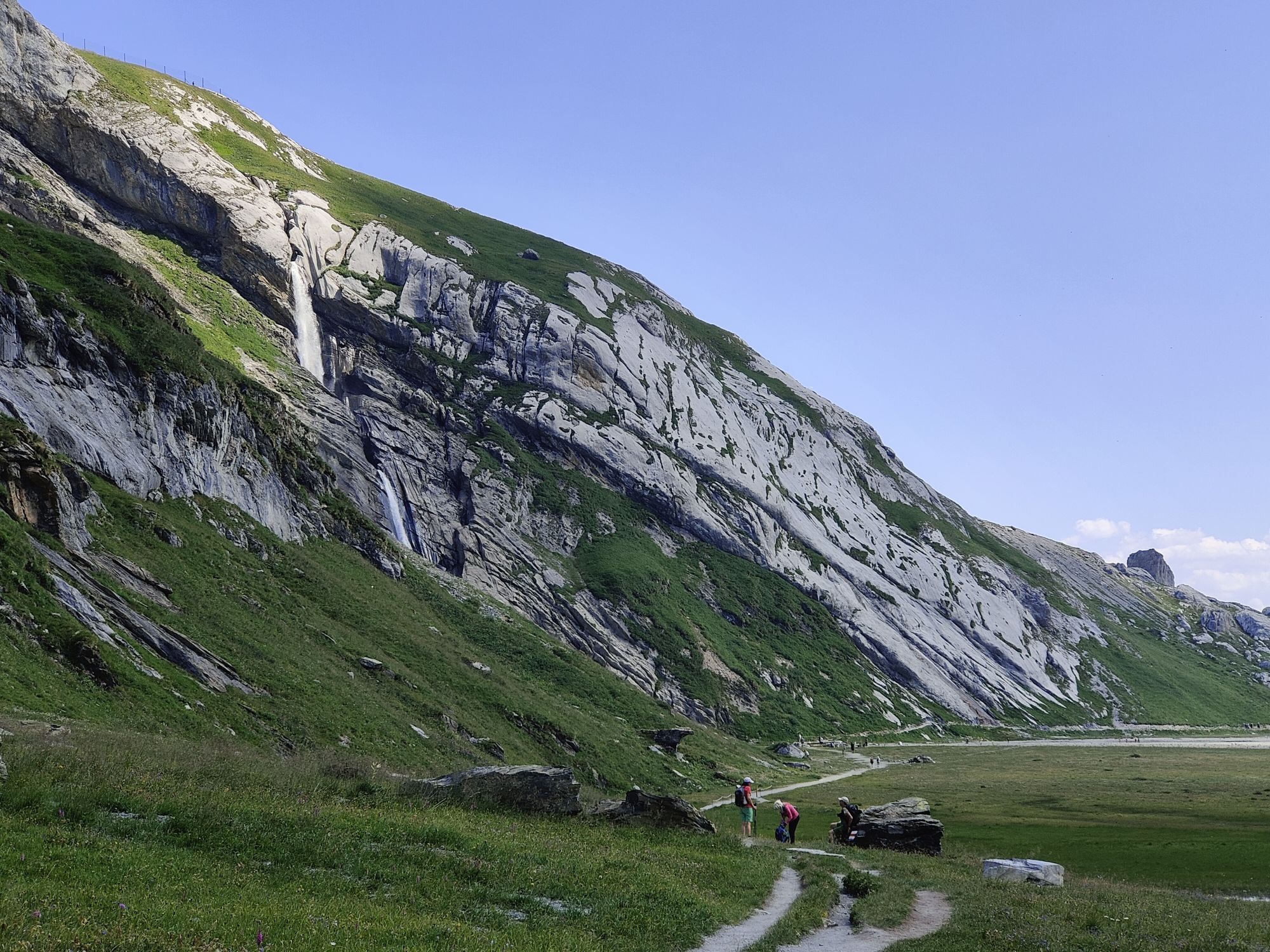
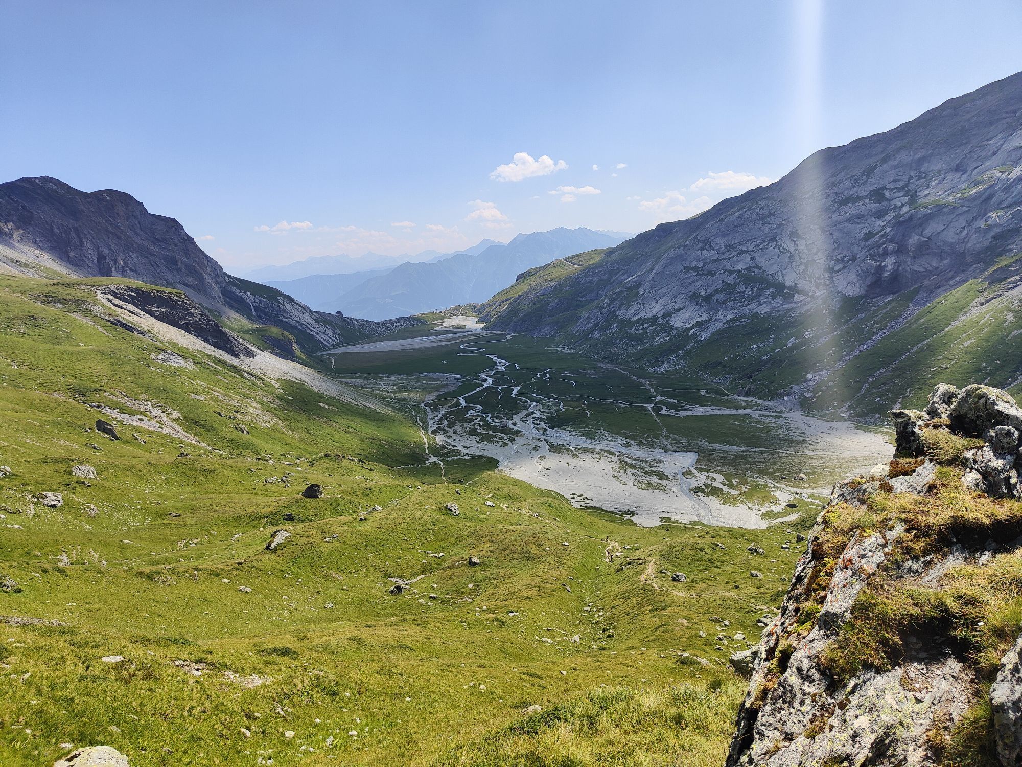
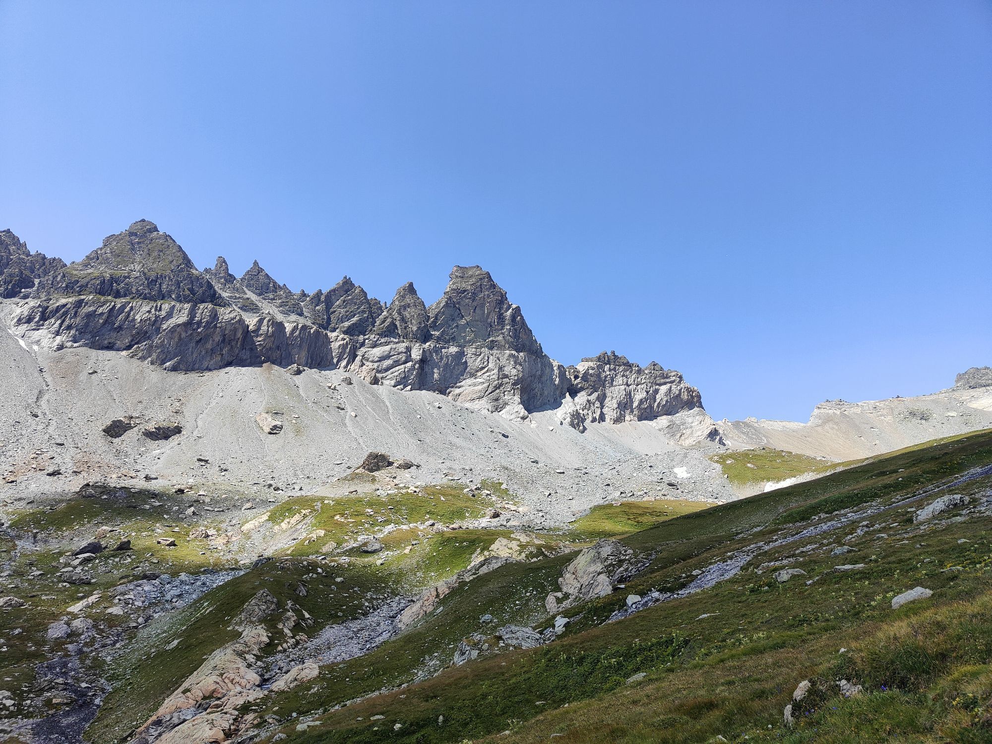
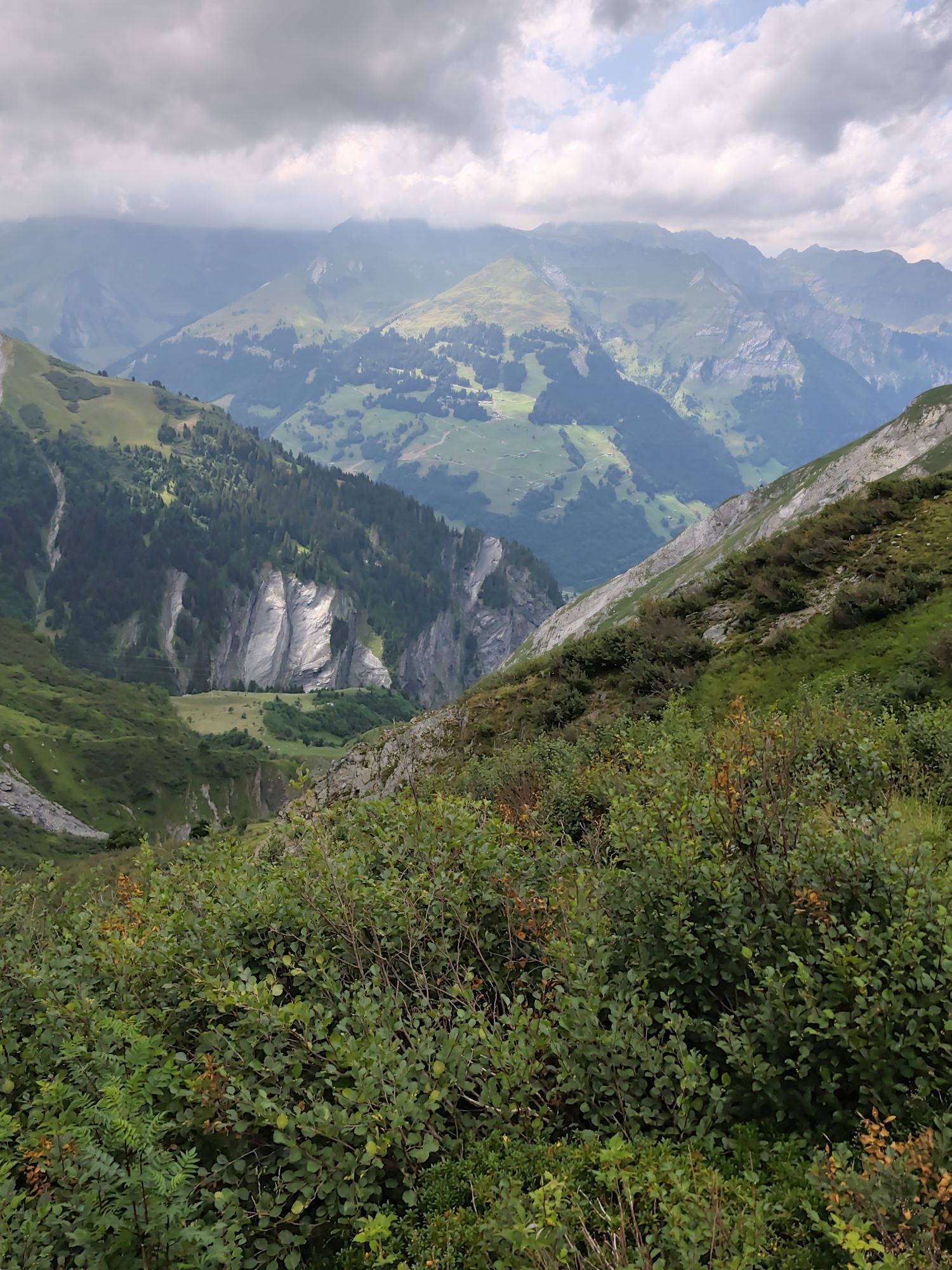
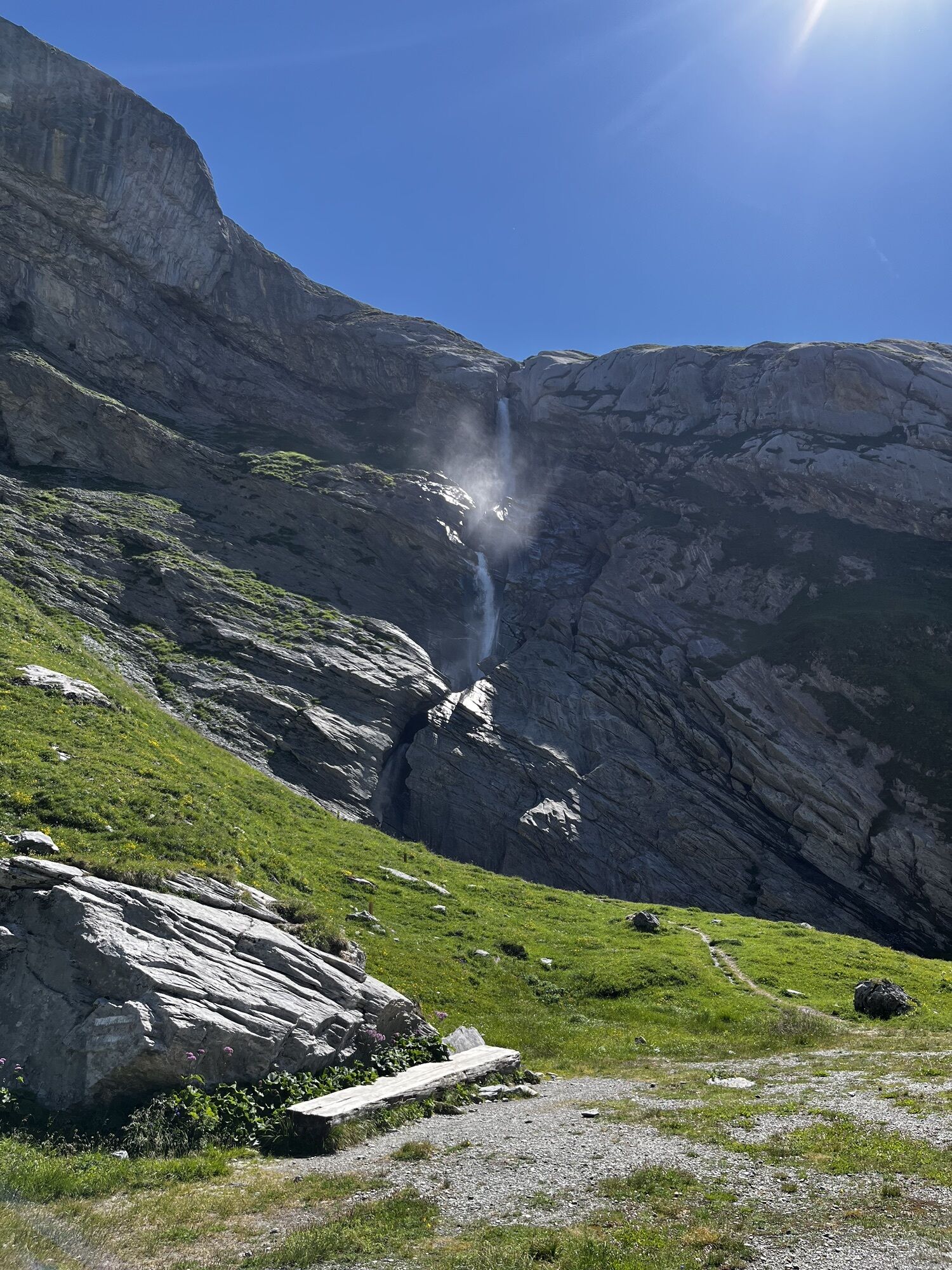
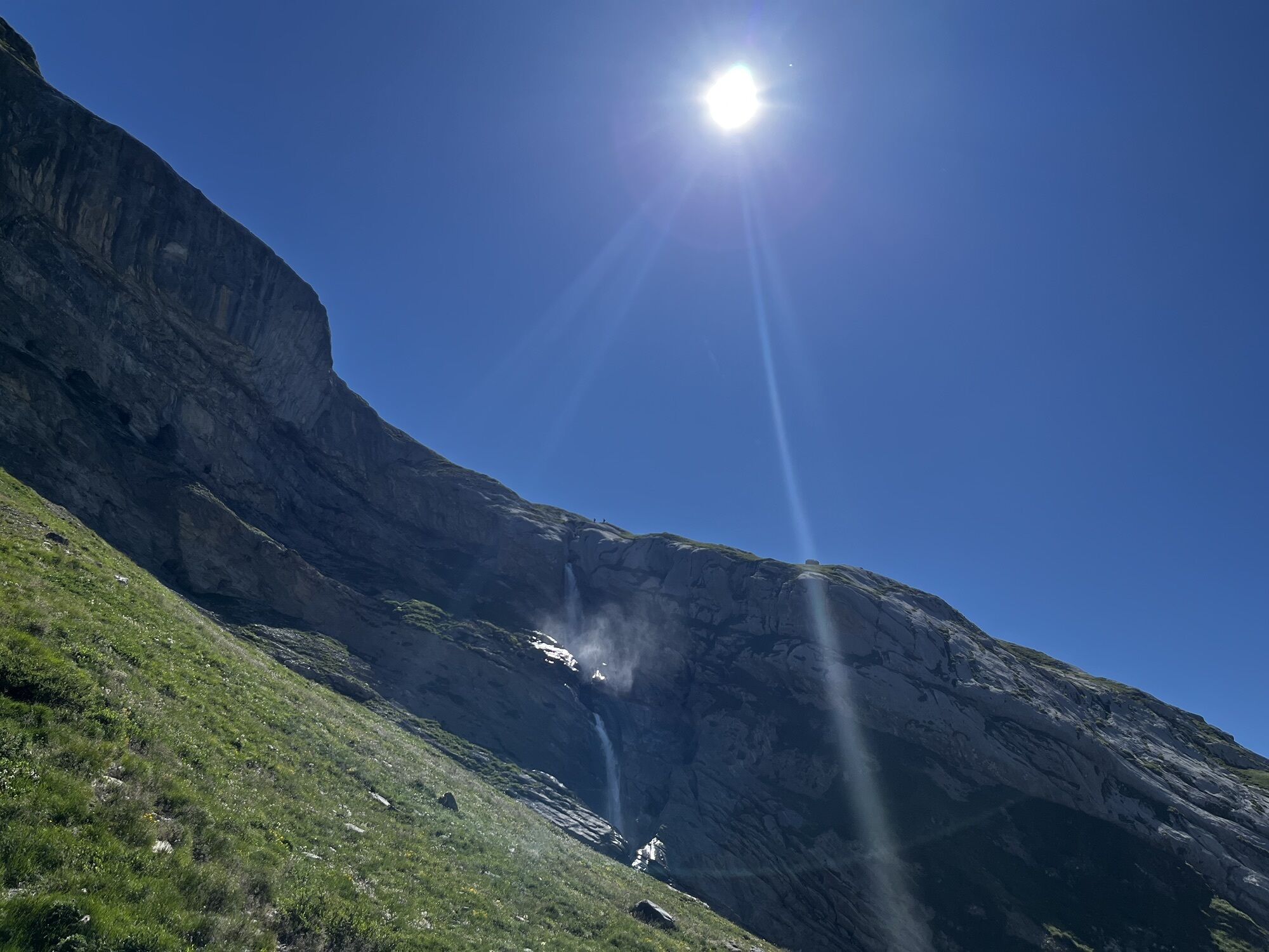
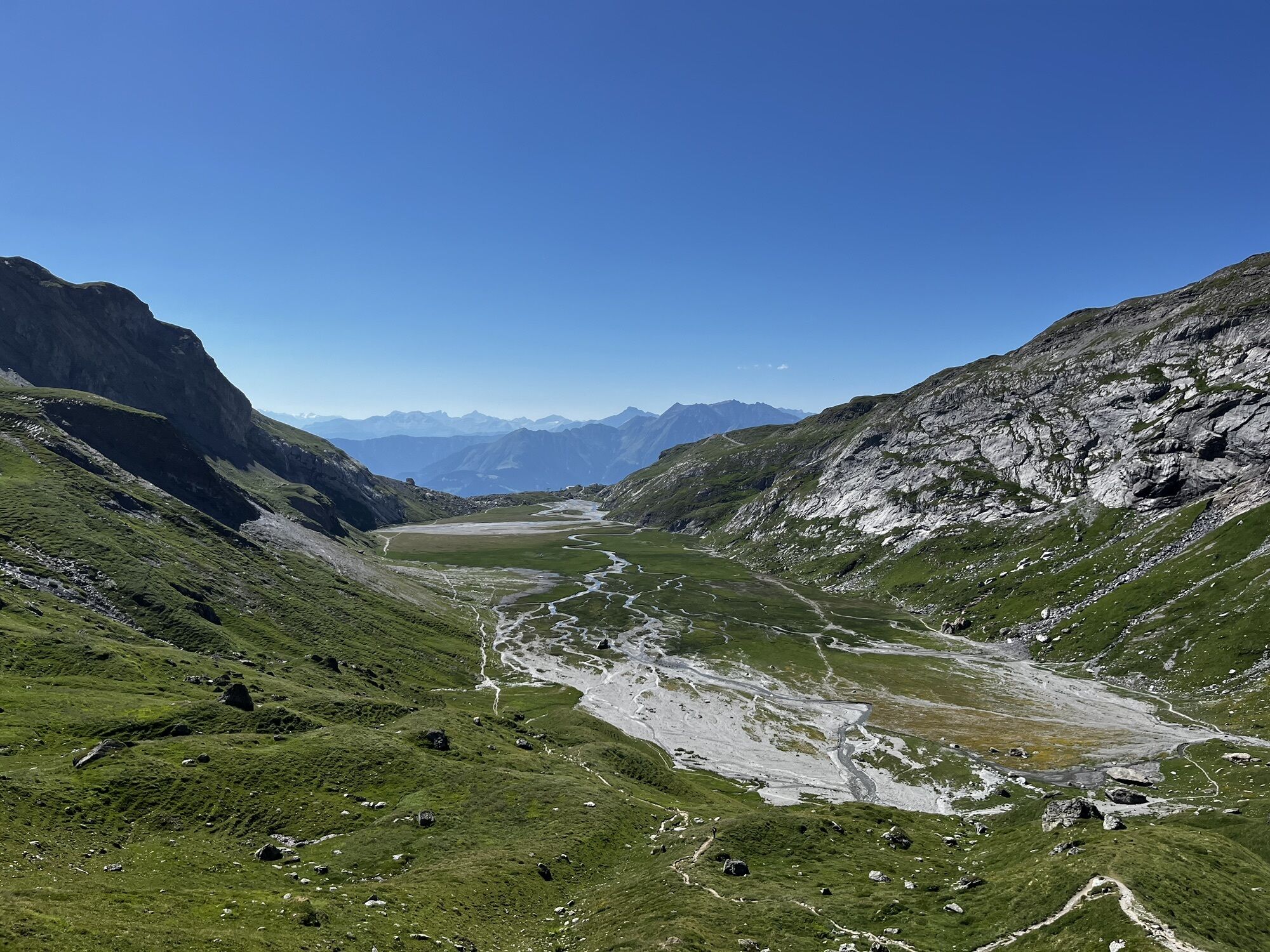
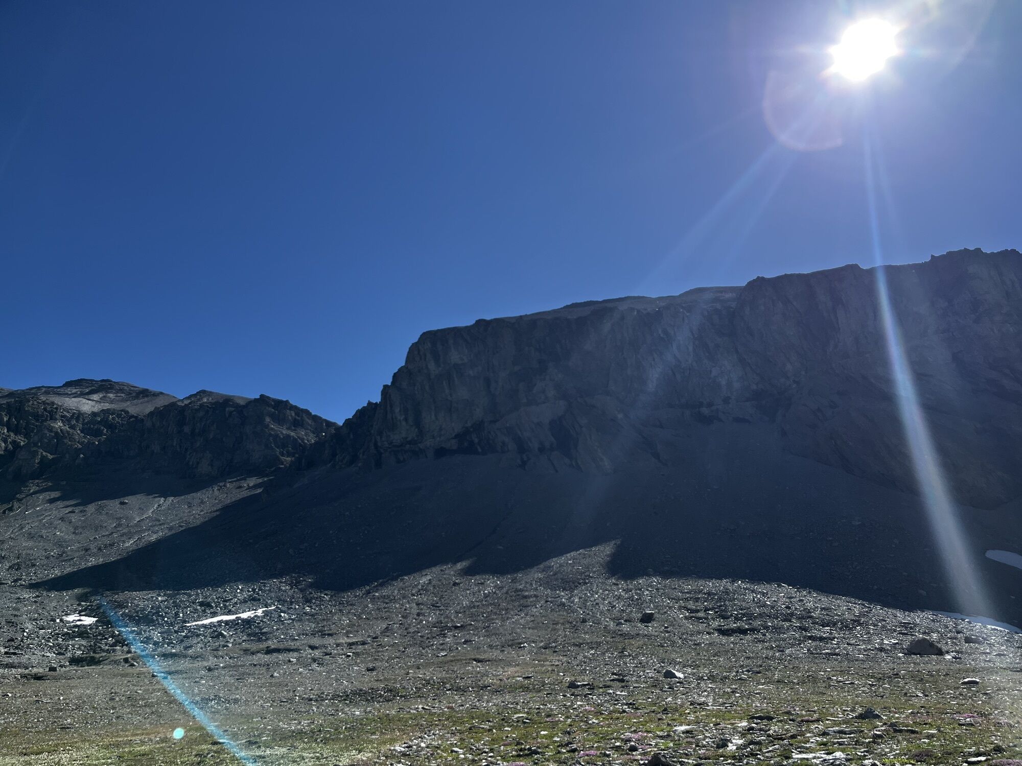
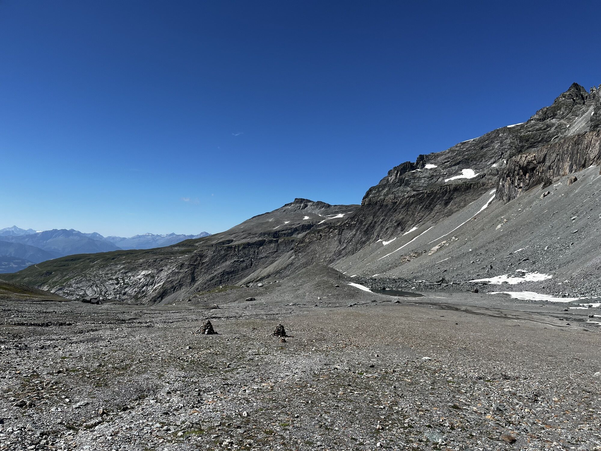
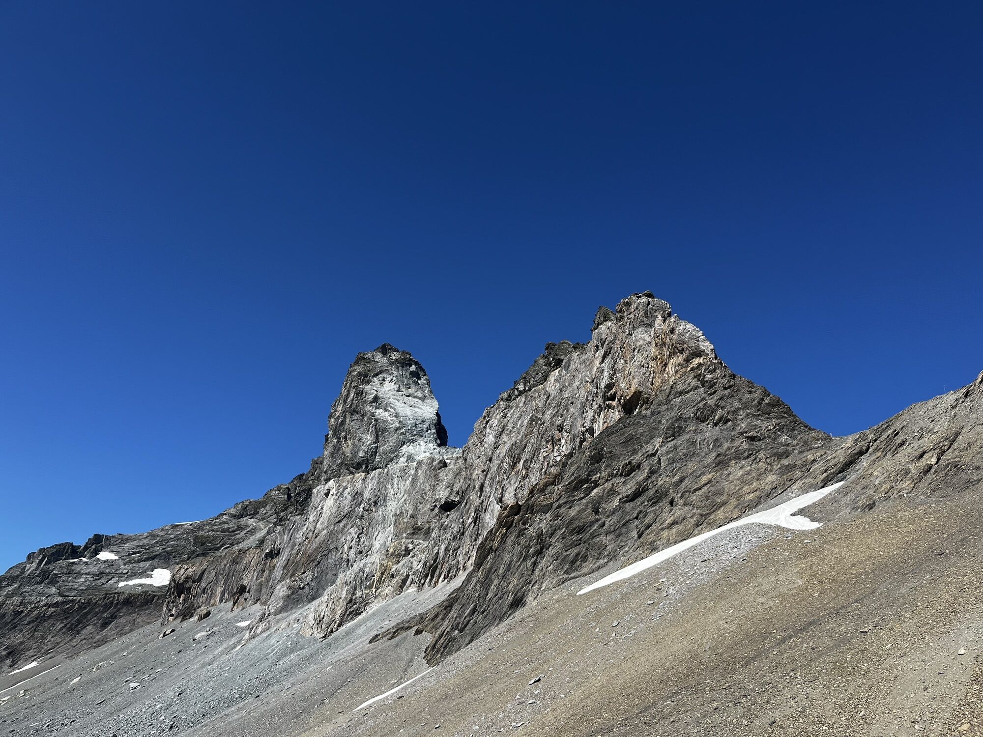
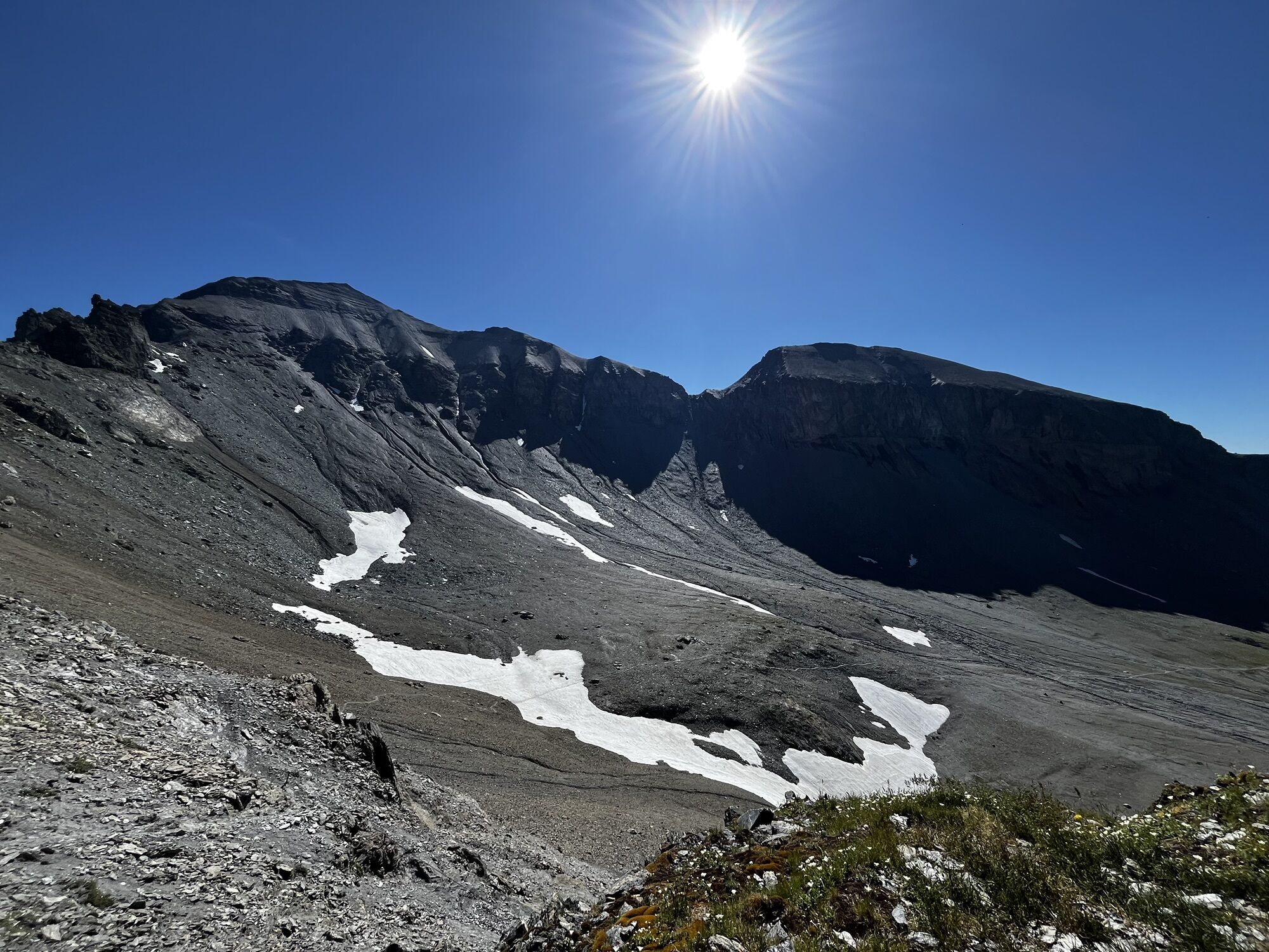
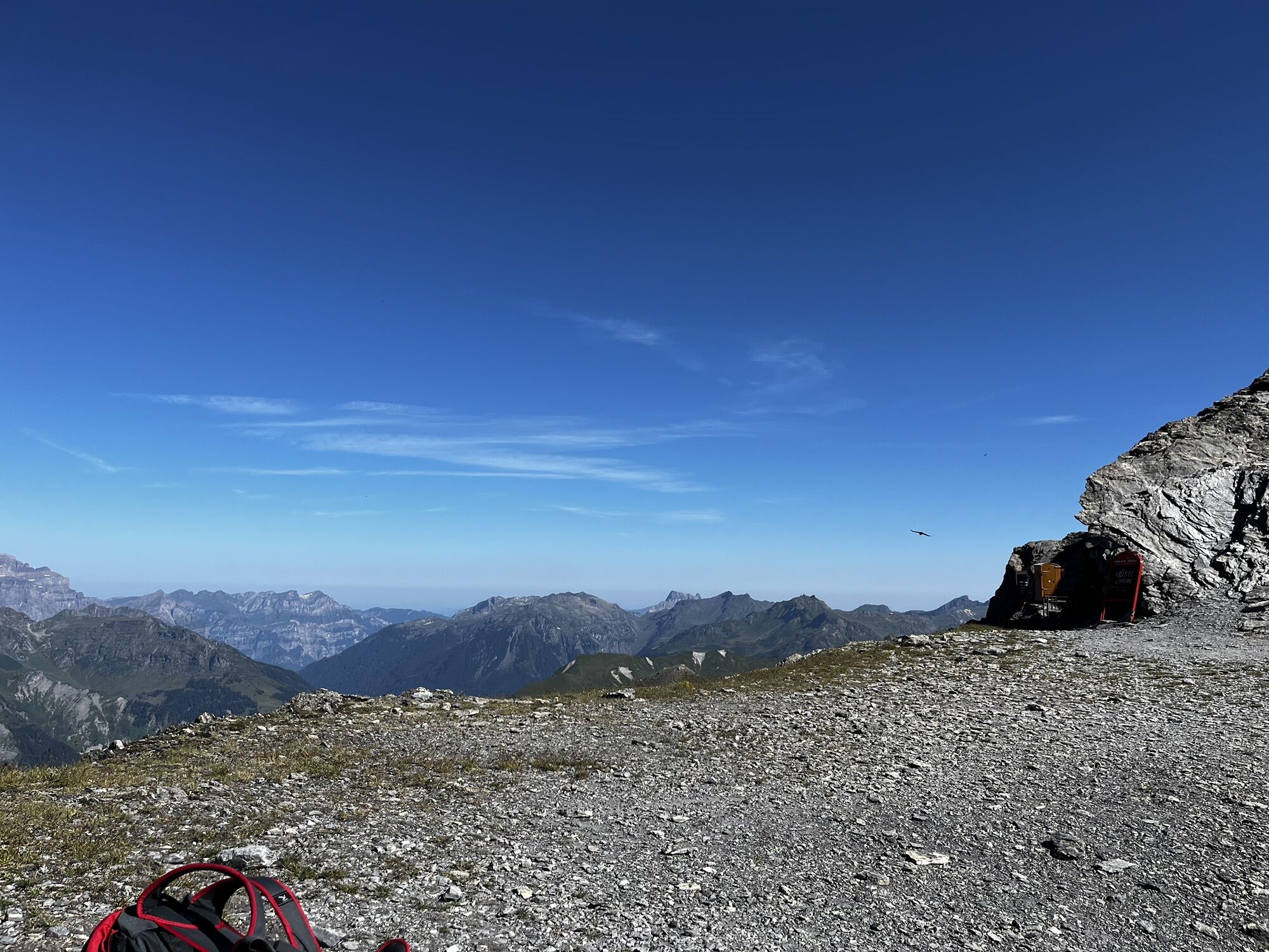
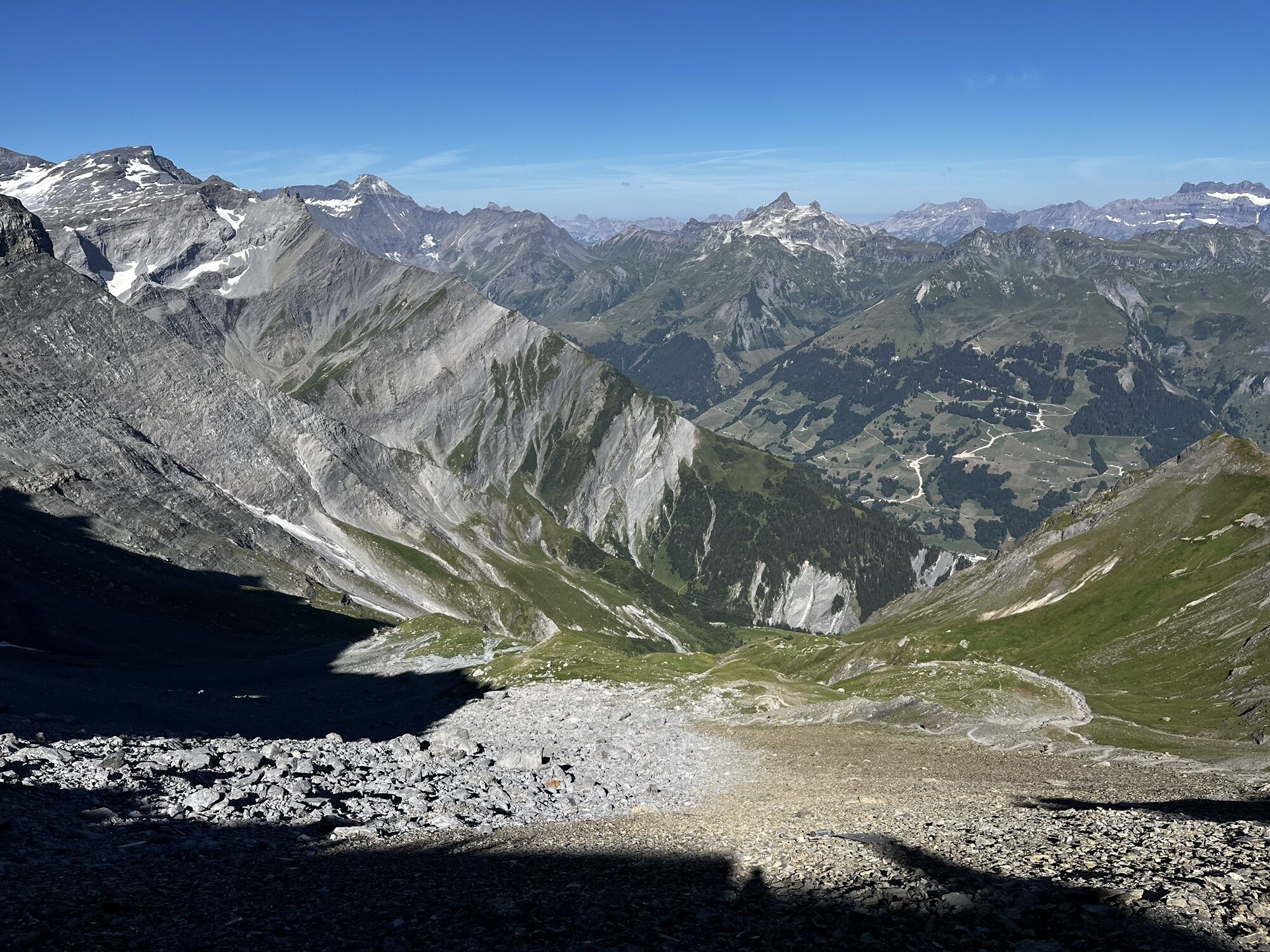
But not only the hearts of geologists beat faster here, hikers also get their money's worth. A picturesque
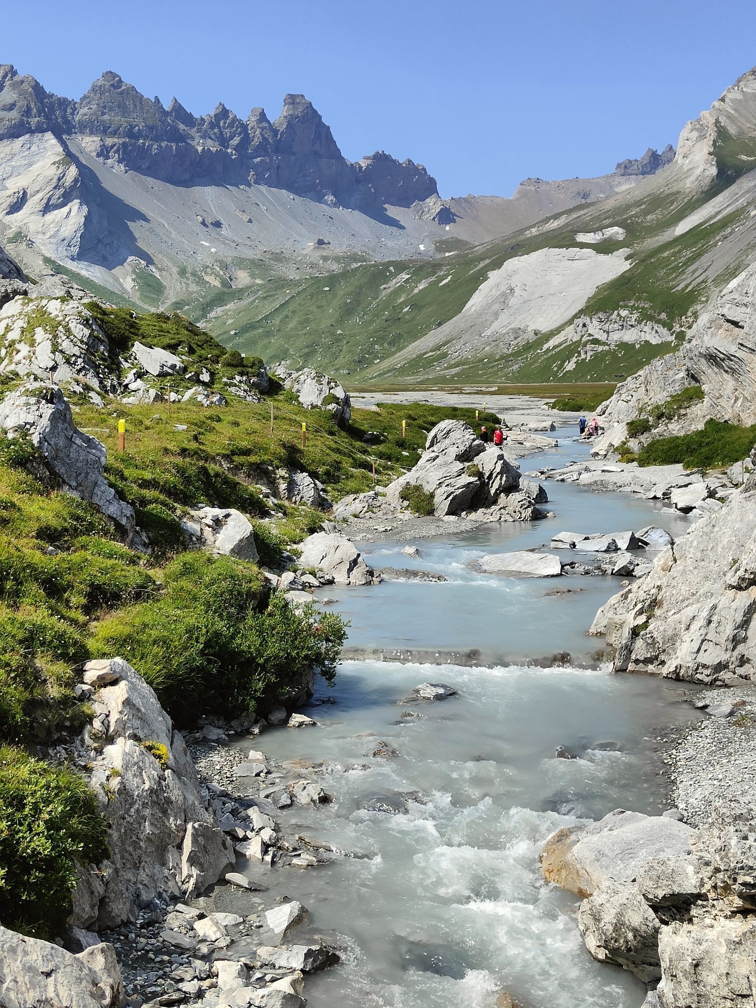
and almost untouched mountain landscape awaits you on this alpine hiking route. The many small...
But not only the hearts of geologists beat faster here, hikers also get their money's worth. A picturesque
and almost untouched mountain landscape awaits you on this alpine hiking route. The many small
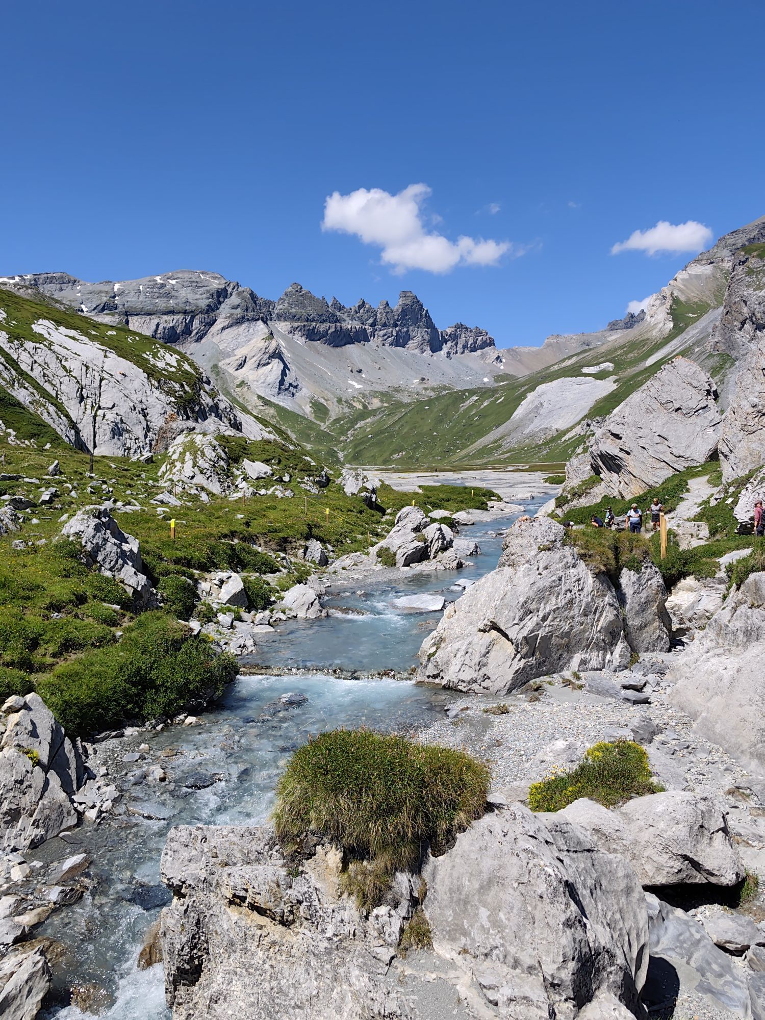
lakes and the impressive peaks of the Sardona region will enchant you.

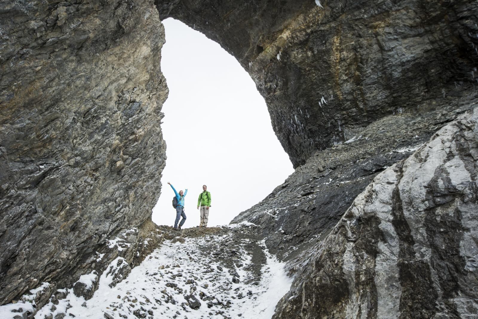
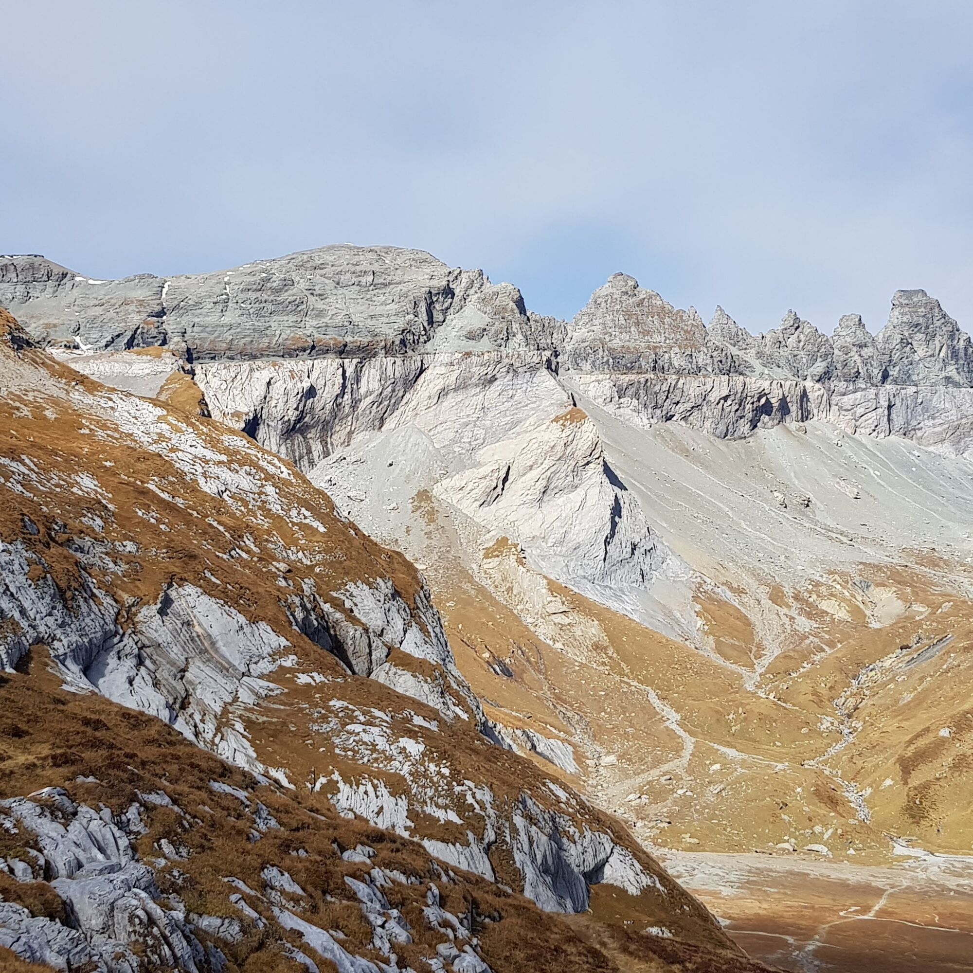
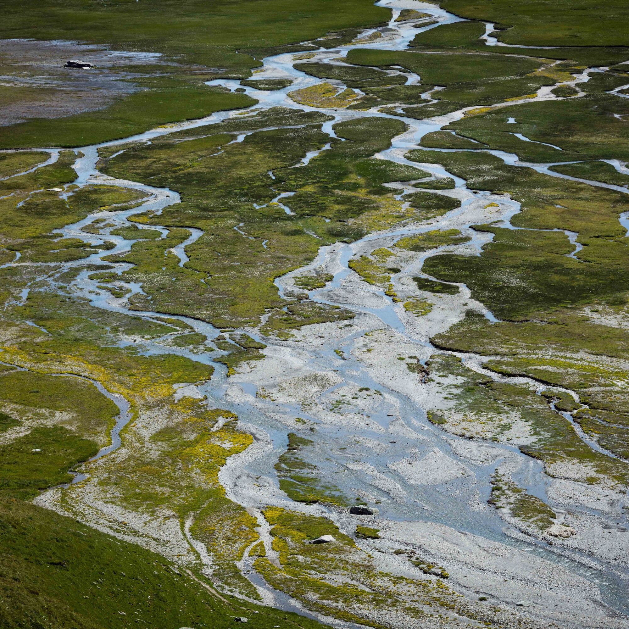
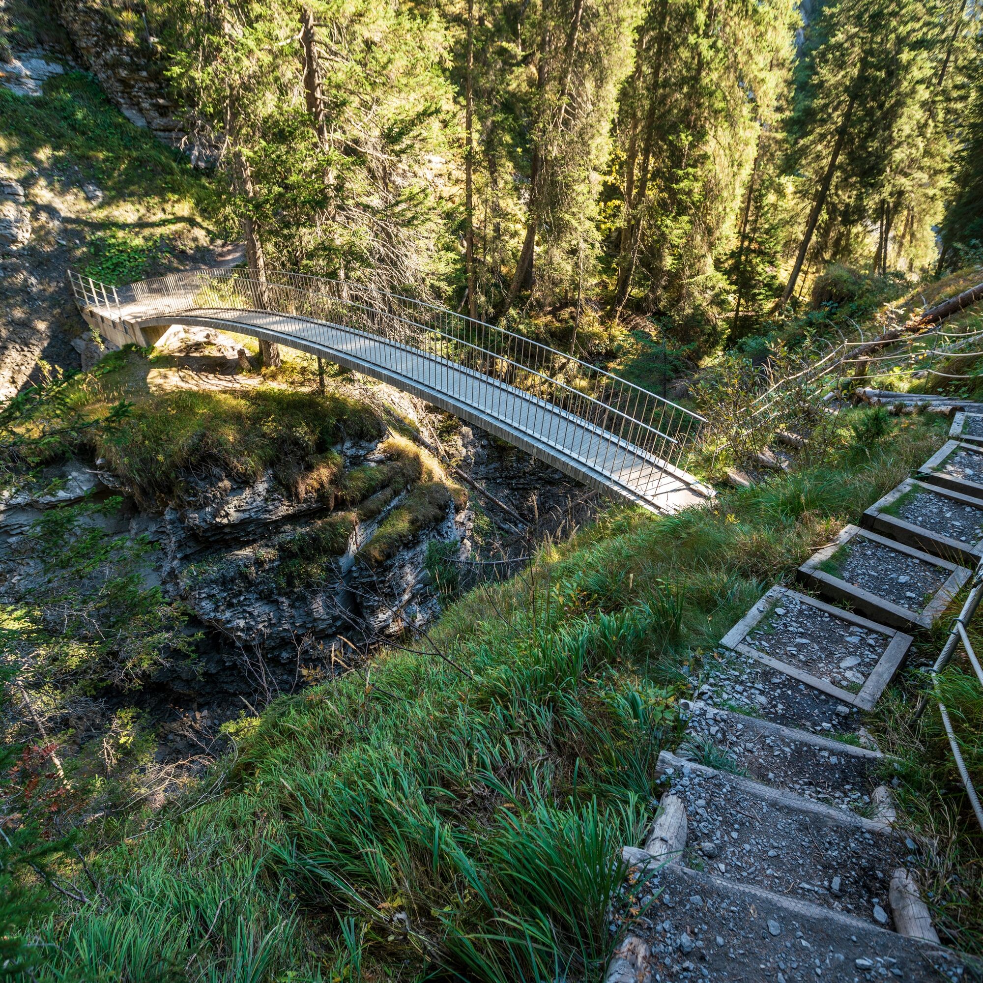
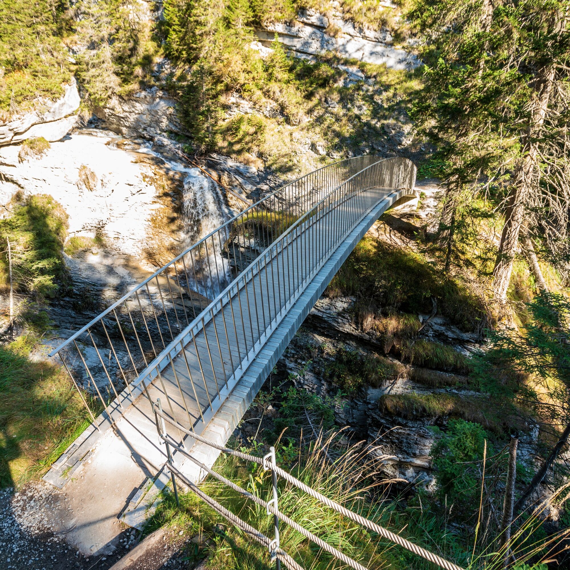
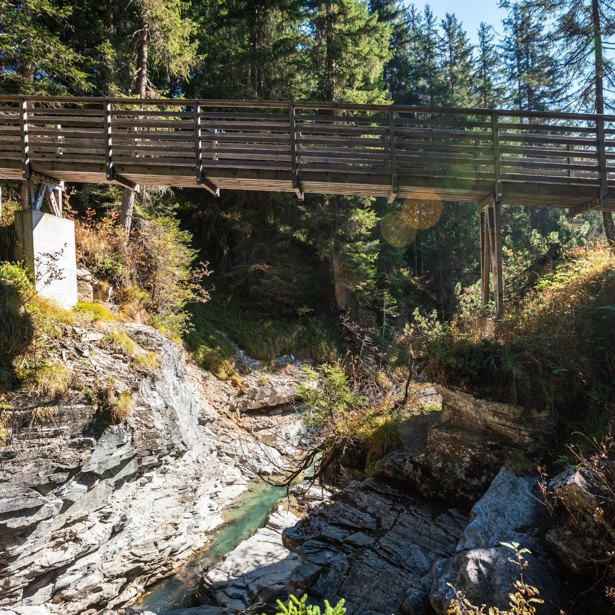
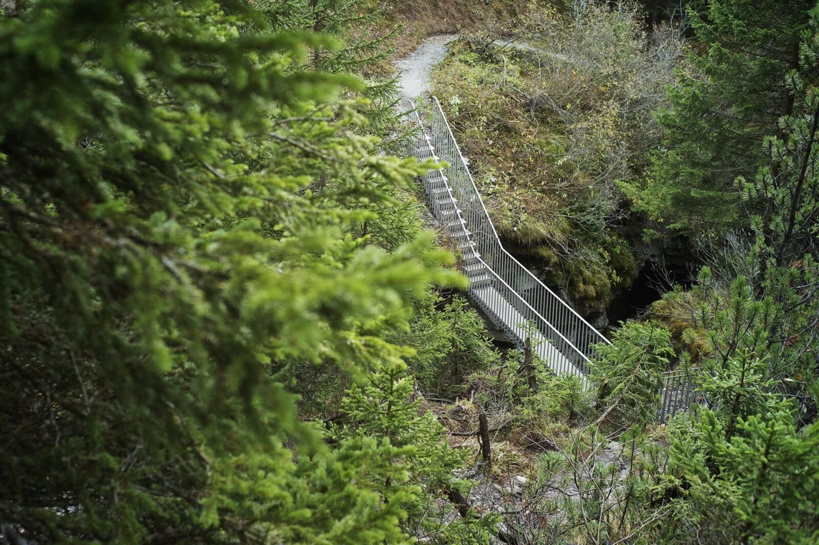
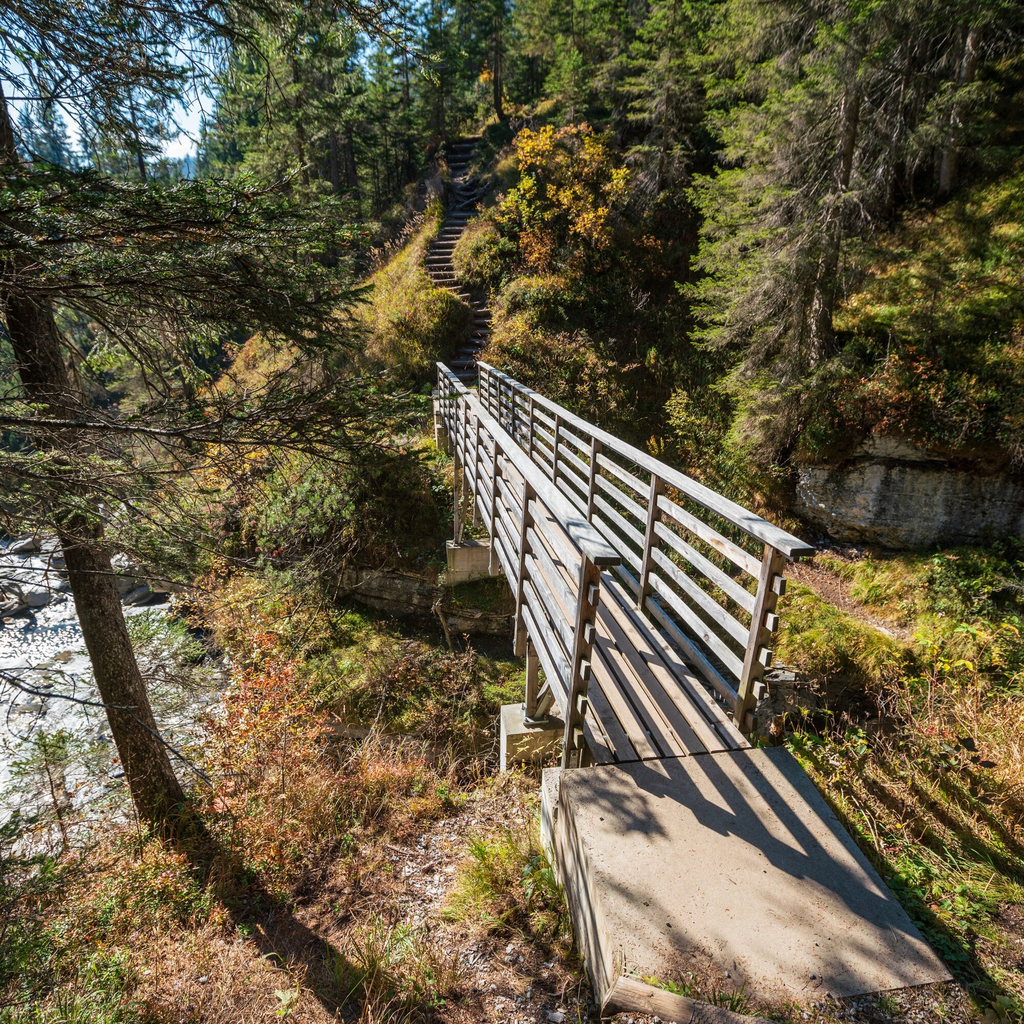
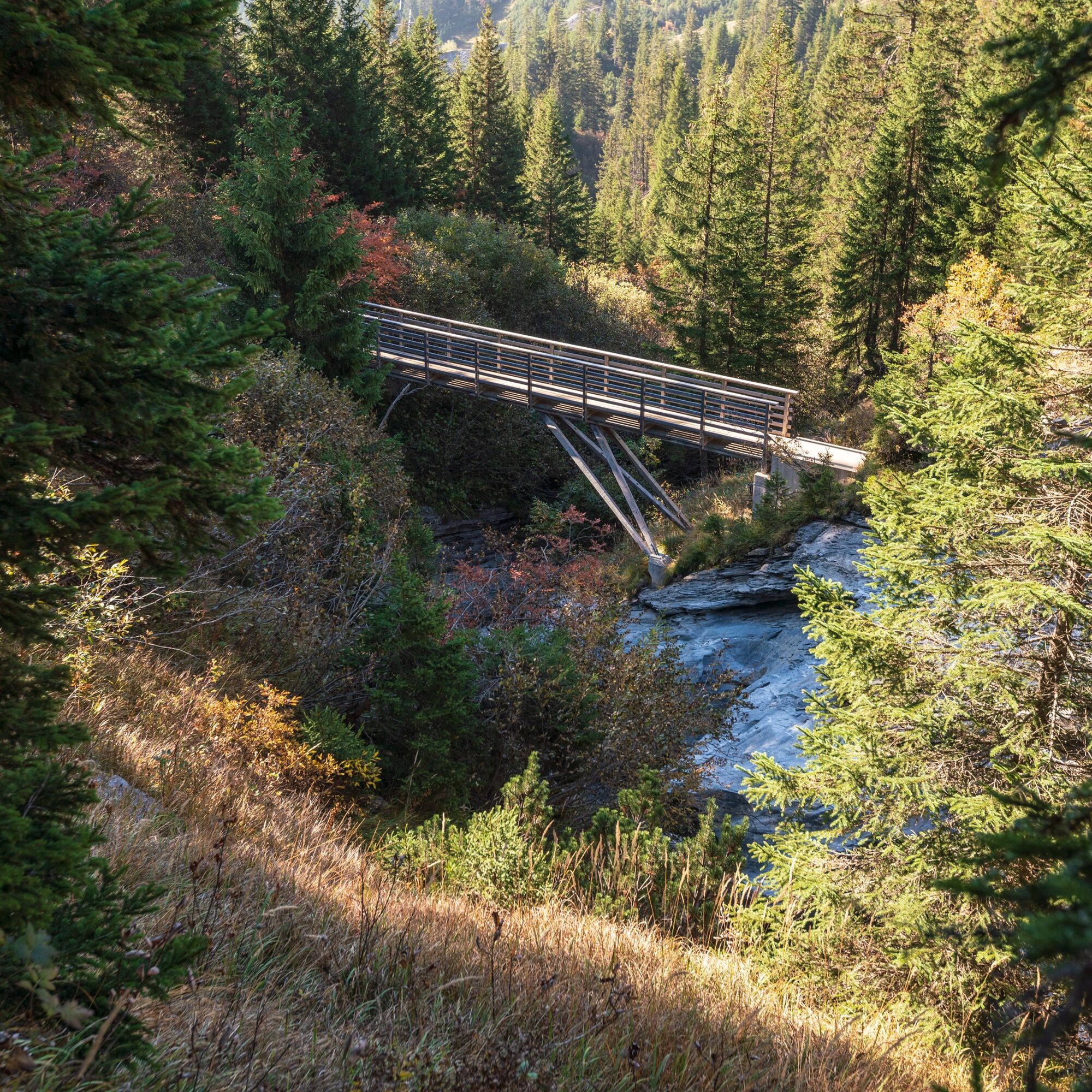
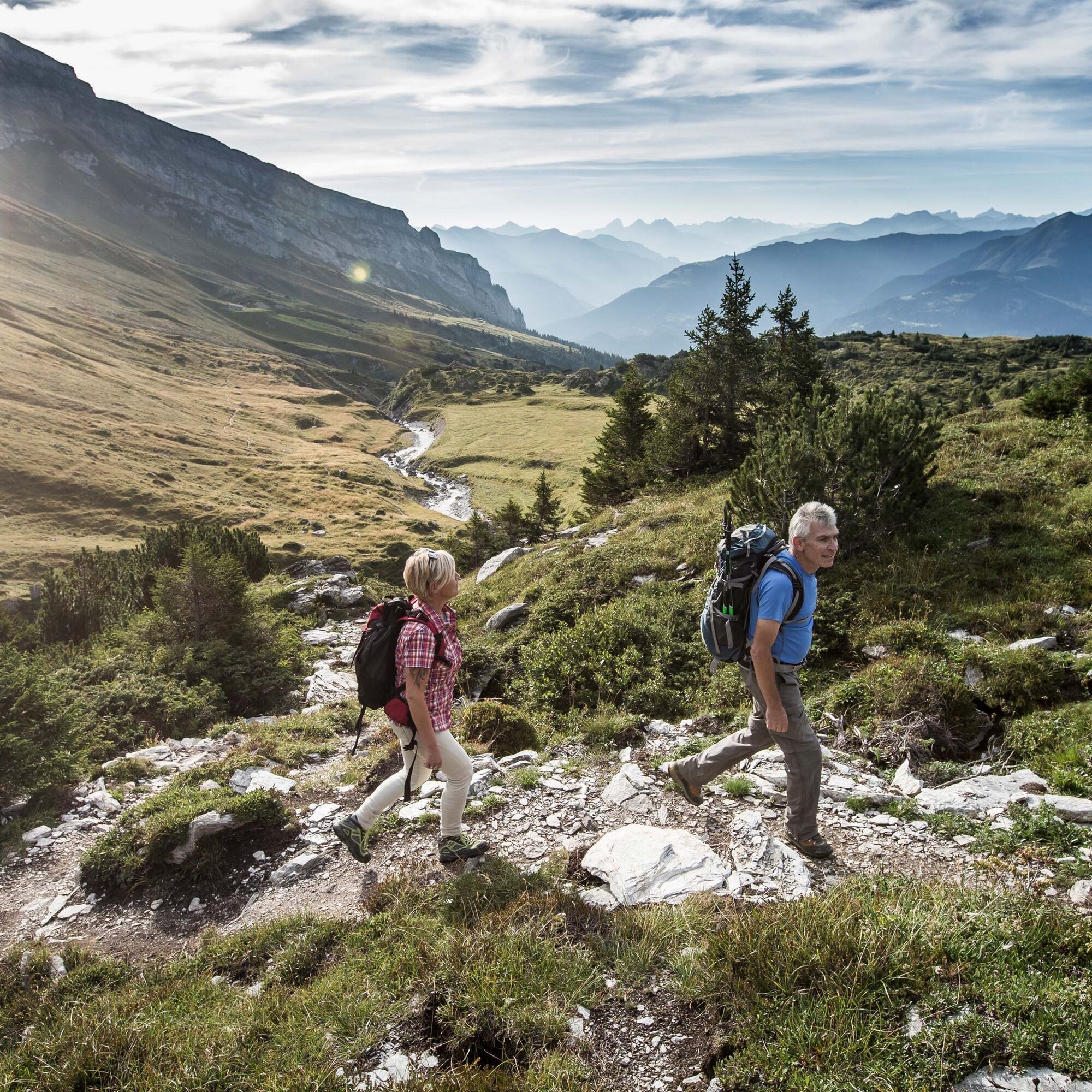
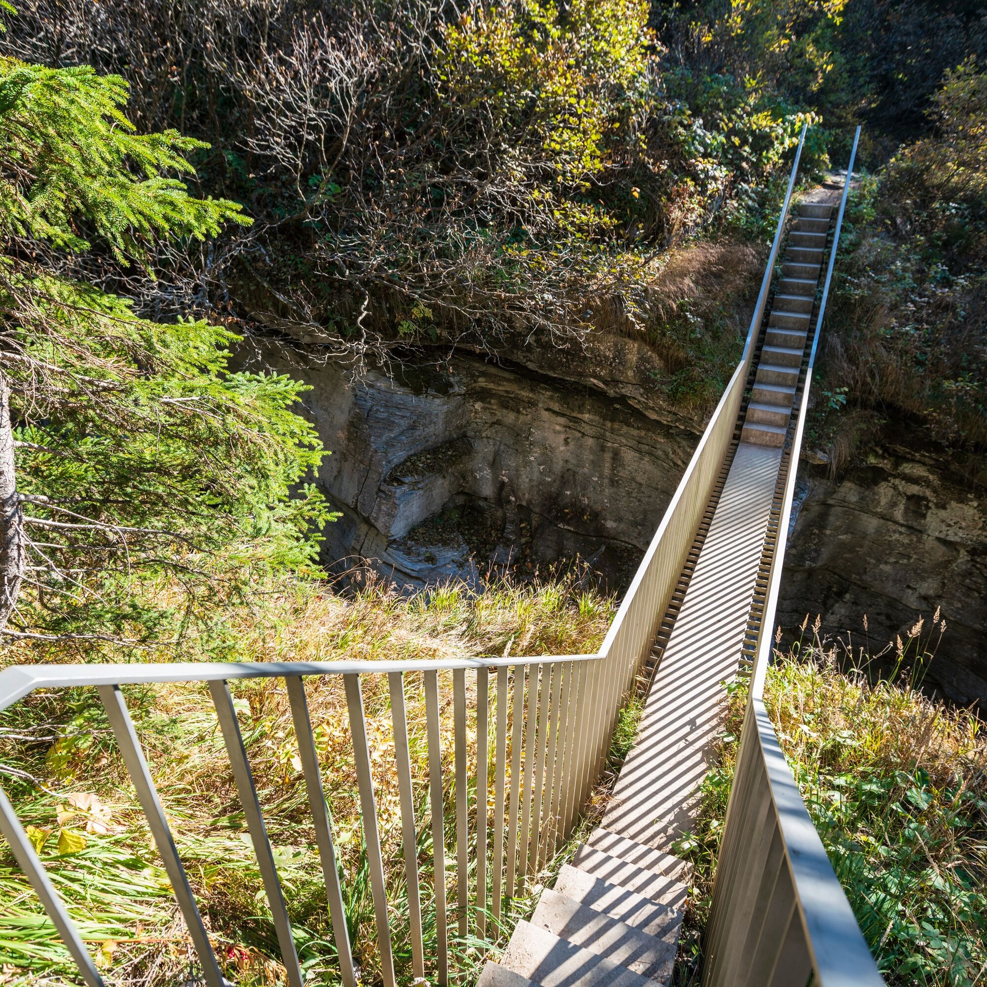
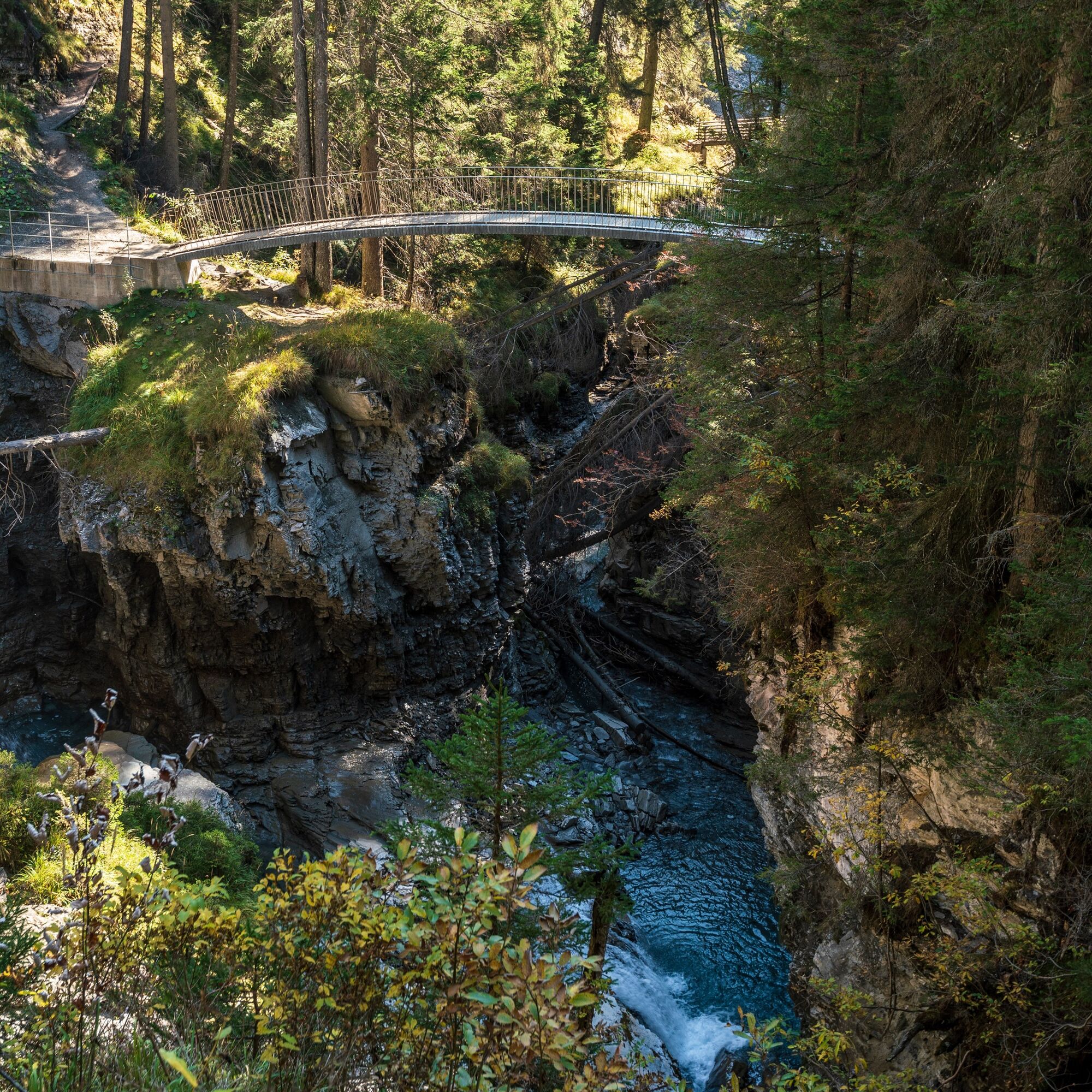
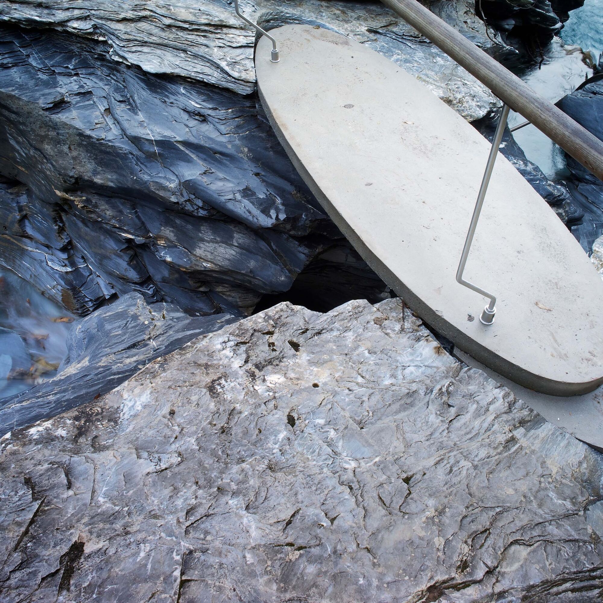


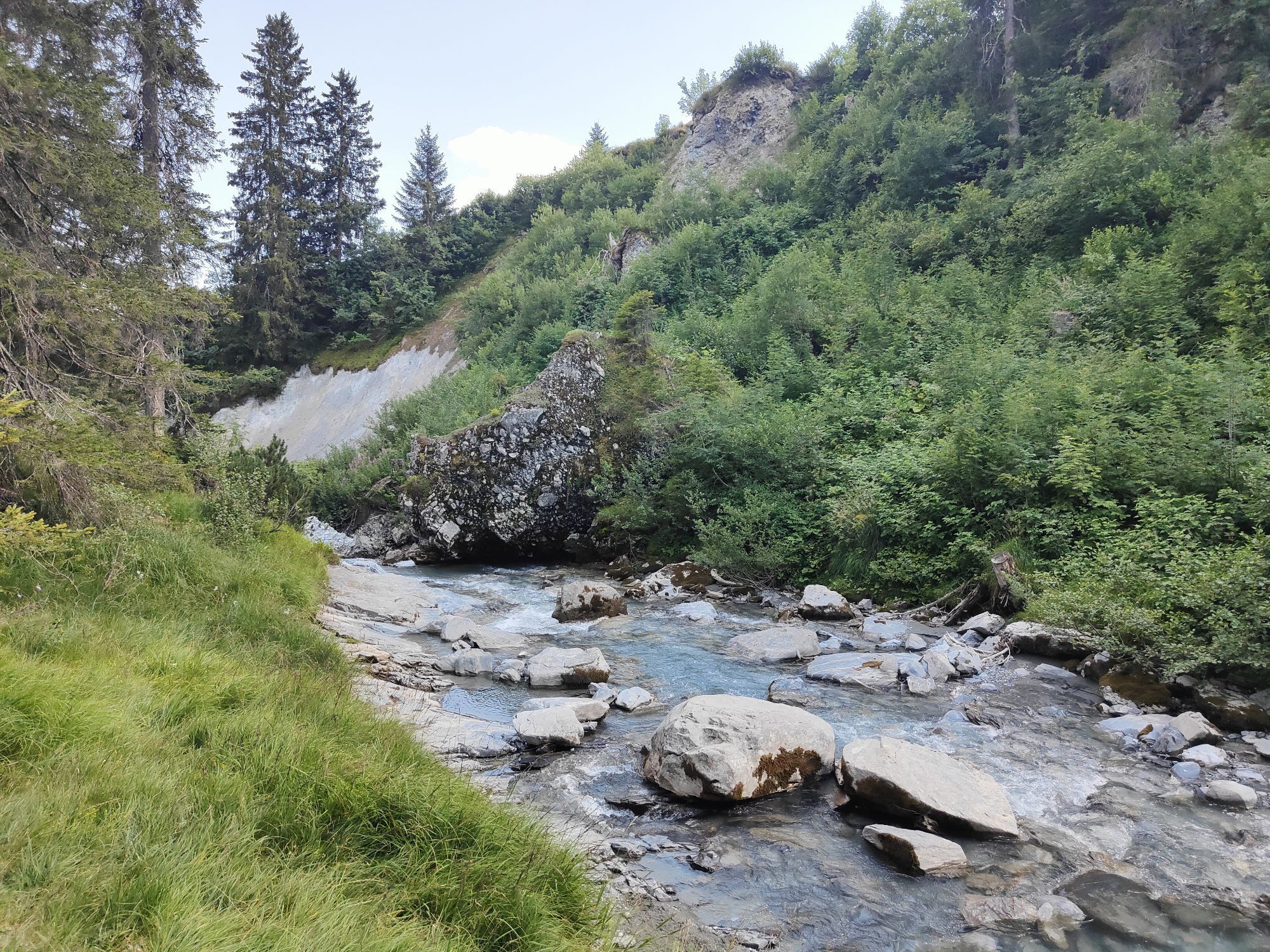
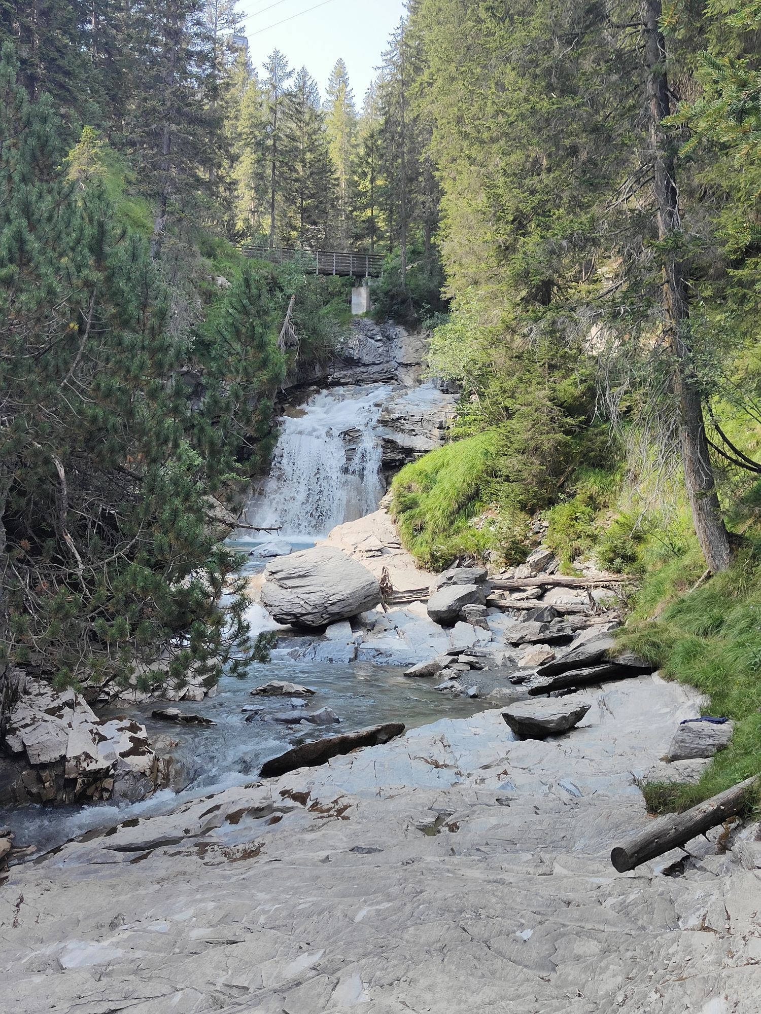
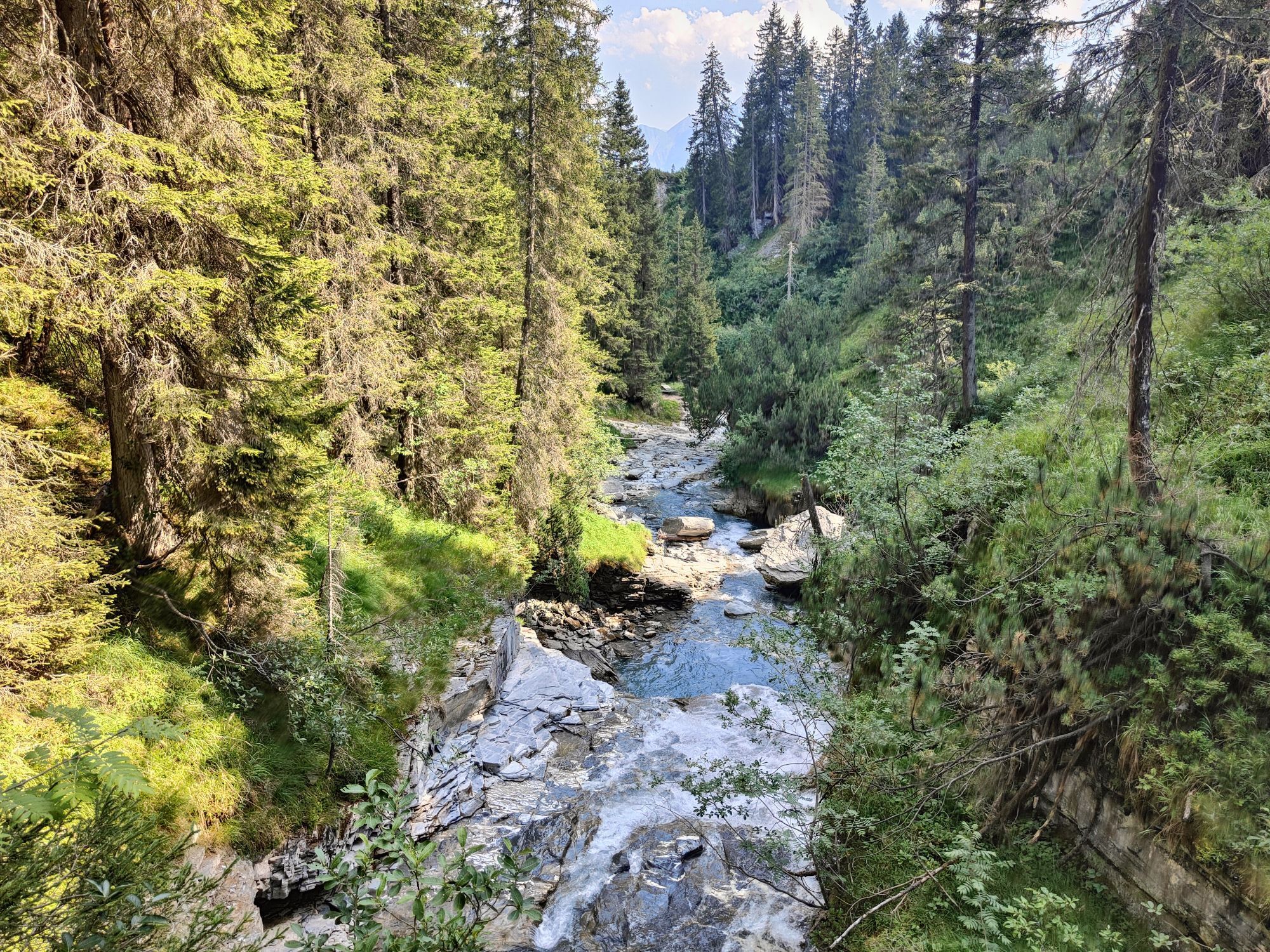
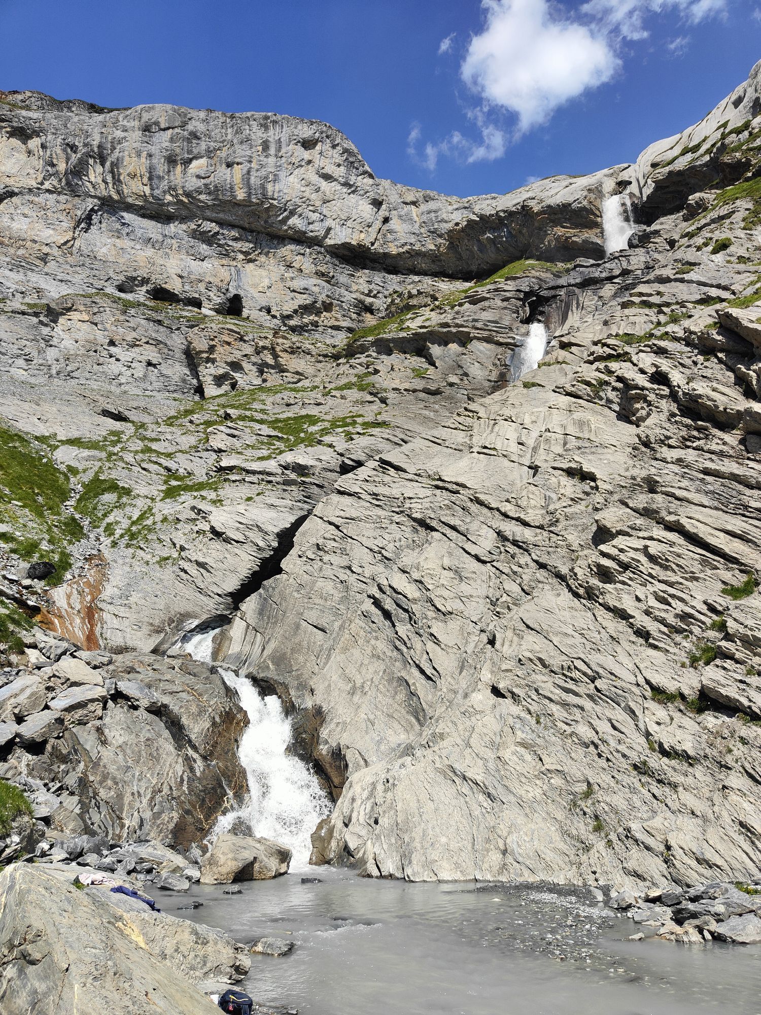
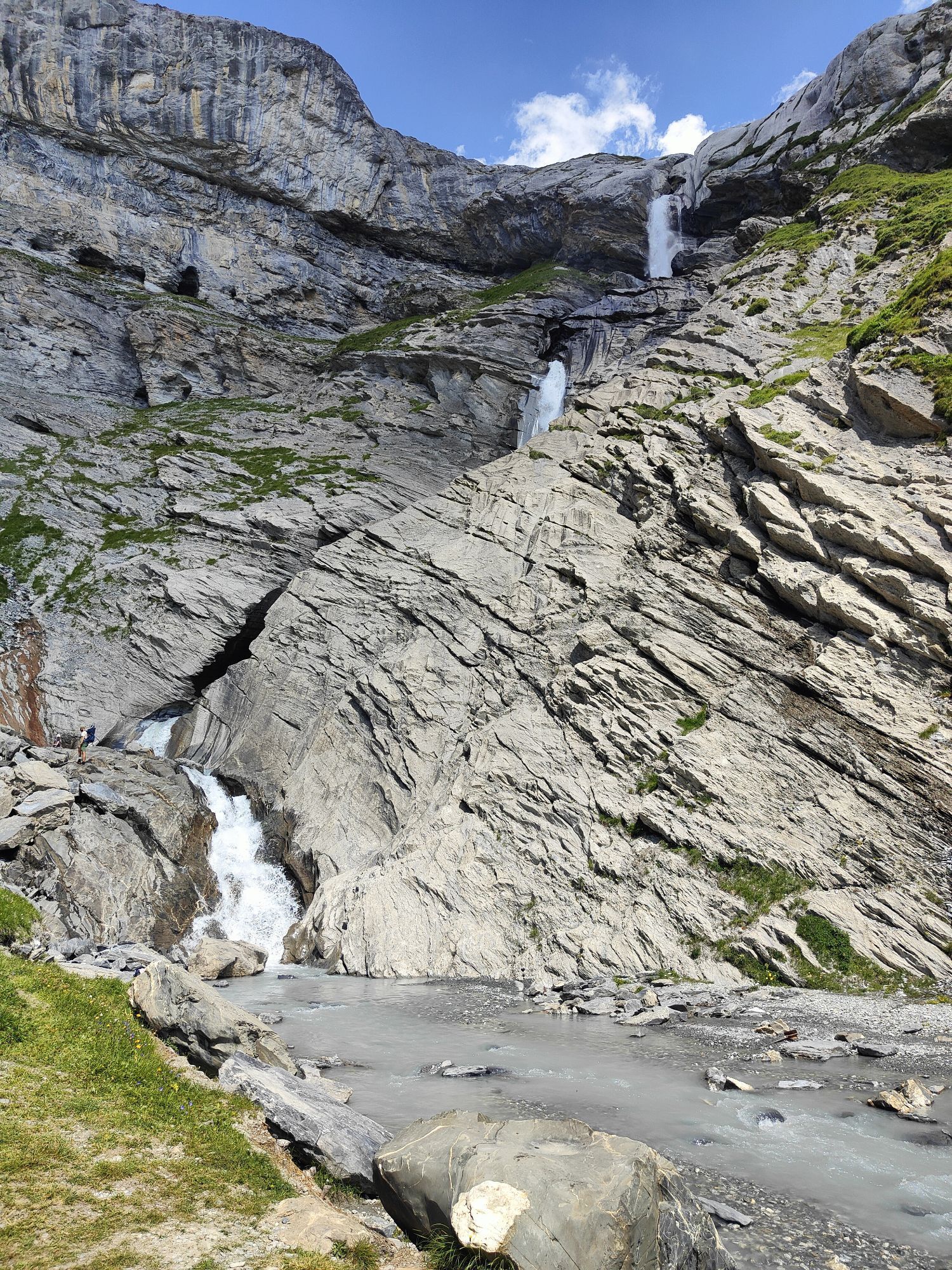
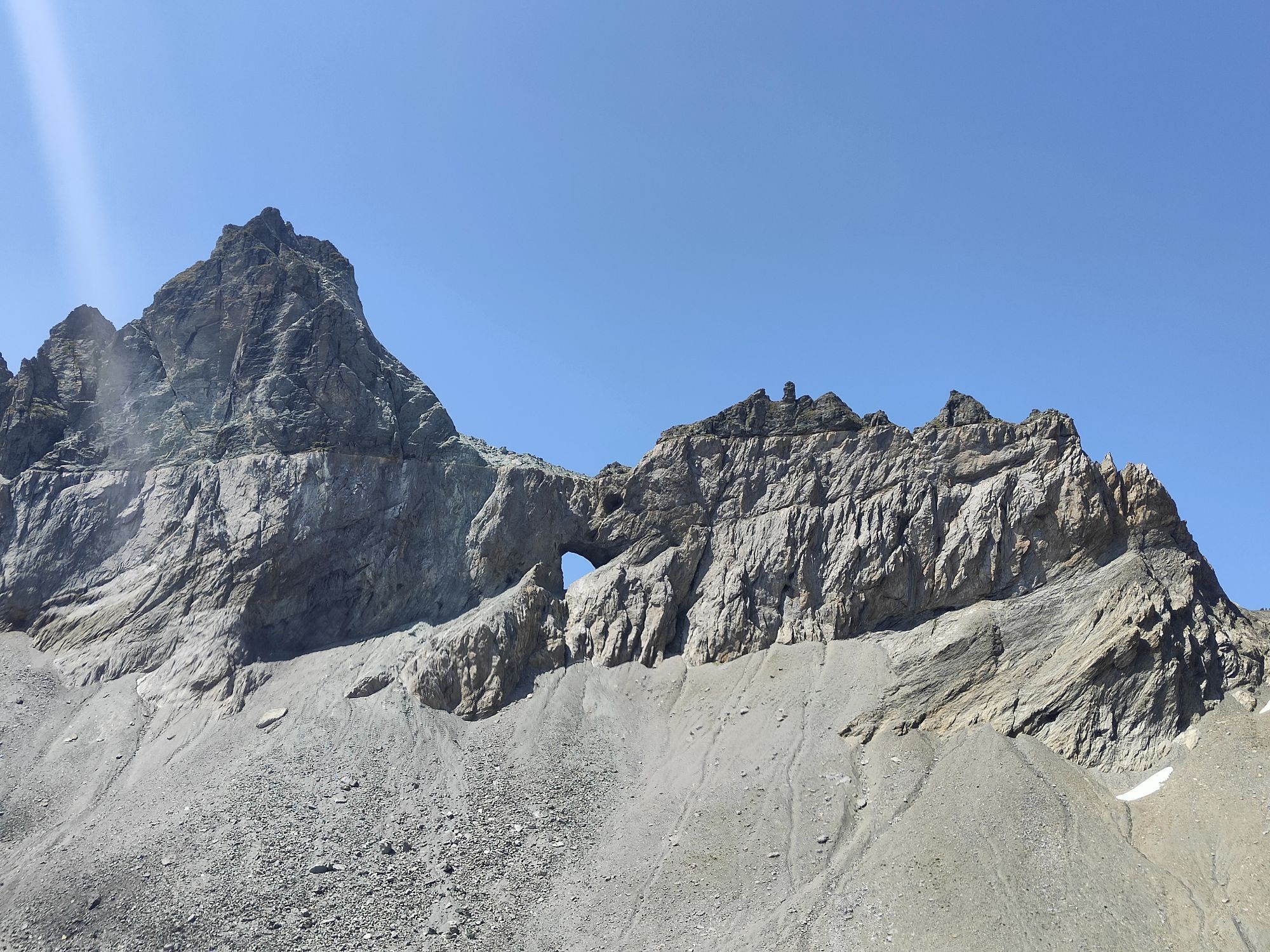
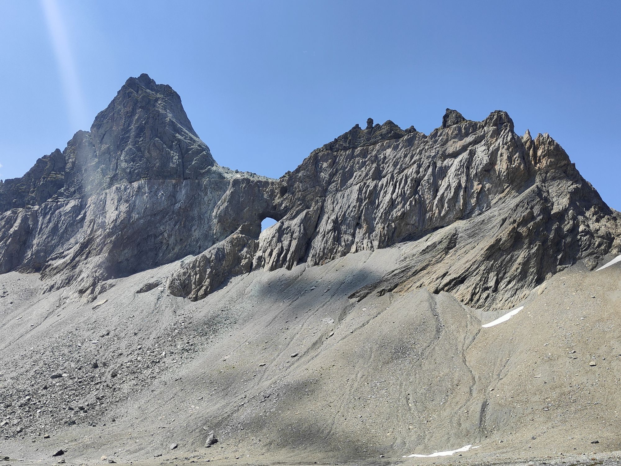
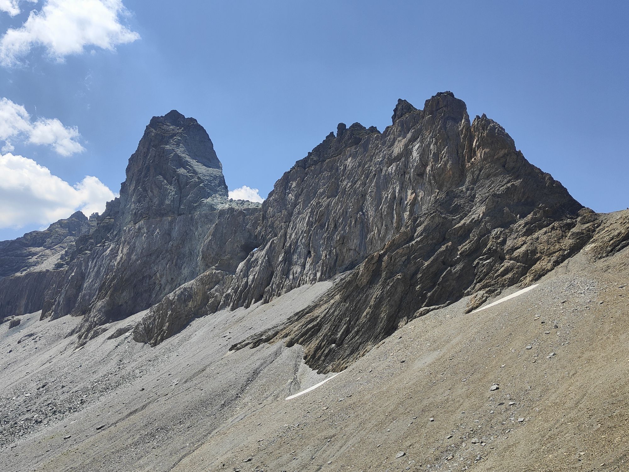
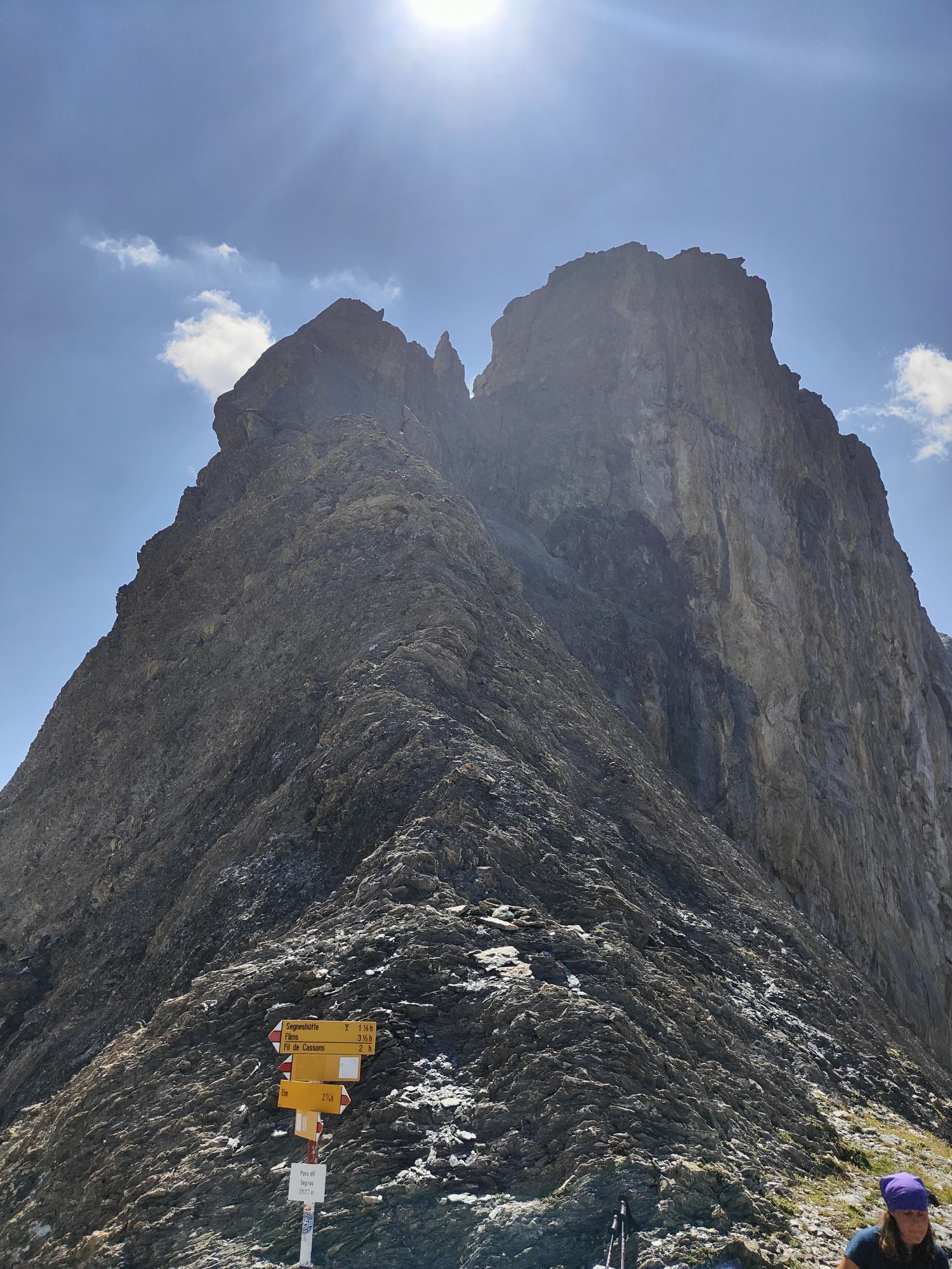
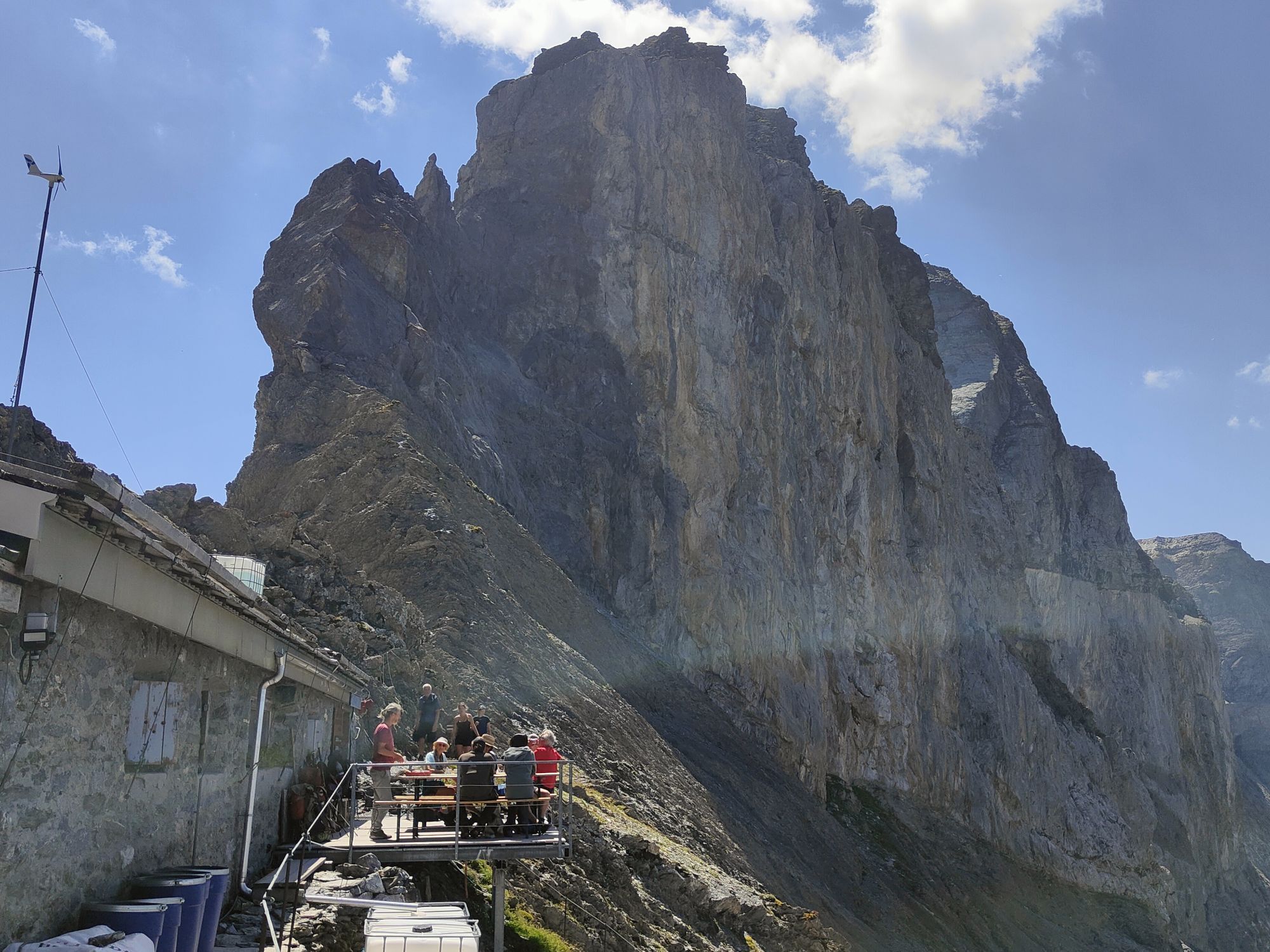
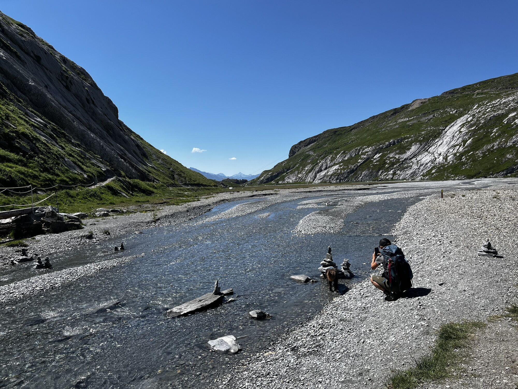
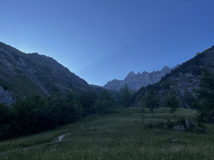
By cable car up to the Tschinglen Alp. Here begins the ascent to Segnespass – always with the Tschingelhörner and the Martinsloch in sight. On the descent, after the alluvial and moorland Segnasboden, the landscape is increasingly shaped by the Flims rockslide. Optionally, the route can be shortened with the FlemXpress.
Tak
Tak
Good hiking shoes with good tread or trekking shoes, weather-appropriate clothing (rain jacket/sun protection), drink, possibly food, possibly hiking poles.
The route should not be started in uncertain weather conditions. Weather changes in the mountains are common. If a rain front or similar approaches during the hike, you should turn back in time.
From Zurich or Chur along the A3 motorway to exit A44 (Niederurnen, Klausen, Glarus, Näfels). Then follow the main road through Glarus (Näfels, Glarus) to Schwanden. Turn off towards Elm and enter the Sernftal with the villages Engi, Matt and Elm. Parking is available at the valley station of the Tschinglen cable car (Töniberg 17 in Elm).
With the S25 you can travel hourly directly from Zurich to Schwanden. From Chur by train towards Ziegelbrücke. Change in Ziegelbrücke to the regional train to Schwanden. From Schwanden continue with the buses of Autobetrieb Sernftal AG to Elm. Get off at the stop "Bahnhof" in Elm. Then follow the signposts. 1.2 km to the valley station of the Tschinglen cable car.
Parking is available at the valley station of the Tschinglen cable car (Töniberg 17 in Elm).
This long-distance hiking trail from Filzbach to Flims is designed so that the UNESCO World Heritage Tektonikarena Sardona can be hiked from hut to hut over the course of about a week. Along the way, you experience unique landscapes such as the Kerenzerberg along the Mürtschenstock, the Murg lakes, the Mühlebach valley, the Flumserberg, the karst area near Schilsquelle, the fossil sites between Schönbühl-, Fanser- and Laui-Fürggli, the original white fir and Calfeisental valleys, the Heubützli and Foopass, as well as the area around the Tschingelhörner between Elm and Flims. The Sardona World Heritage Trail can also be experienced in stages; or additional GeoSites can be included to extend or modify the hike as desired.
https://unesco-sardona.ch/erlebnis/sardona-welterbe-weg
Guest information Flims Laax Falera
Via Nova 62
CH-7017 Flims
Tel: +41 (0)81 920 92 00
E-Mail: info@flimslaax.com
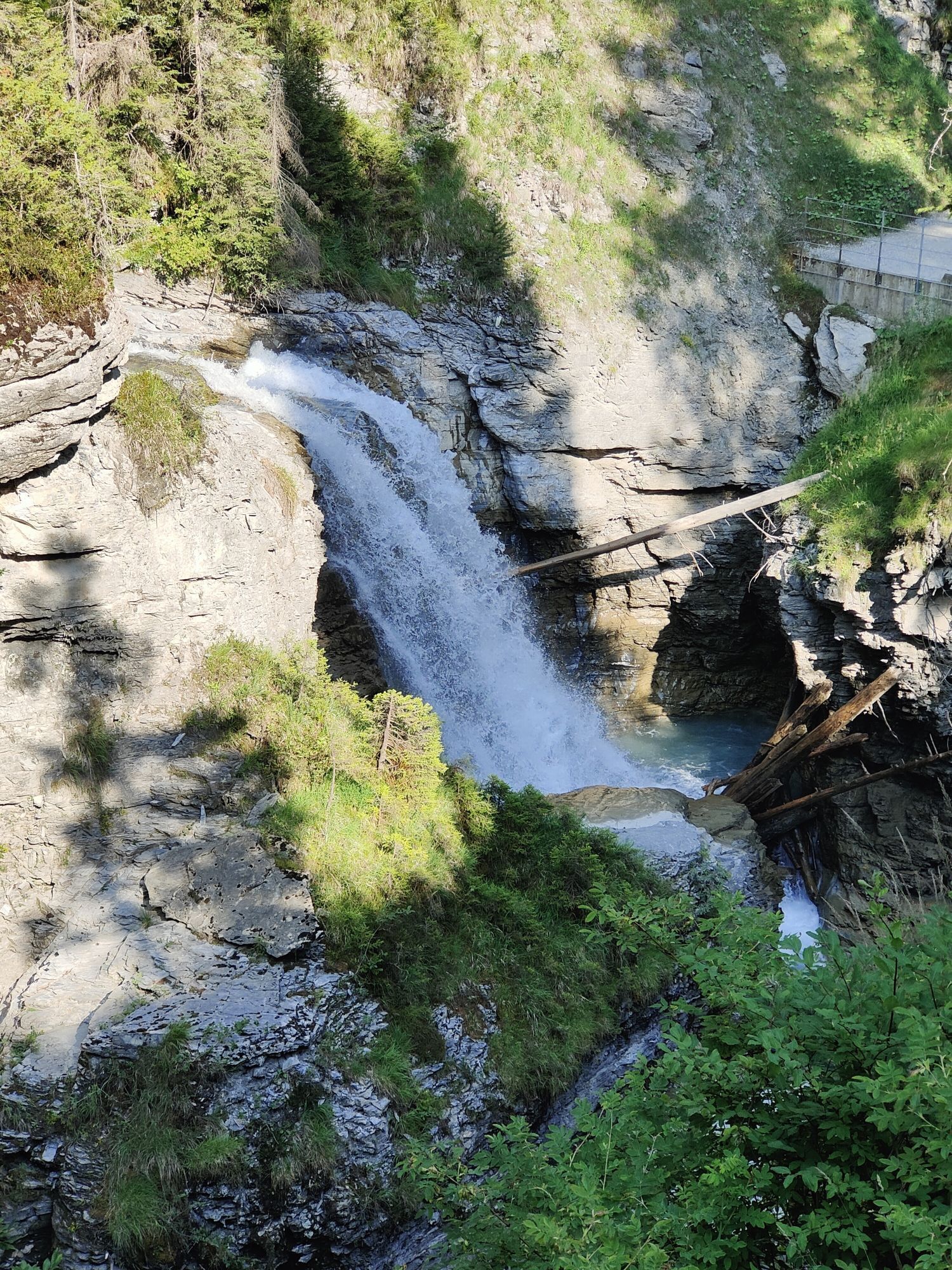
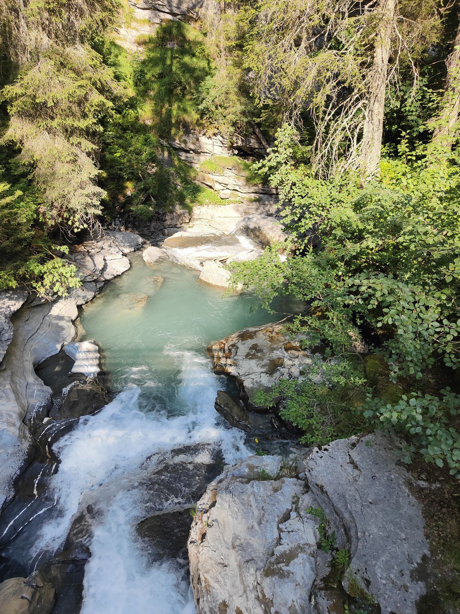
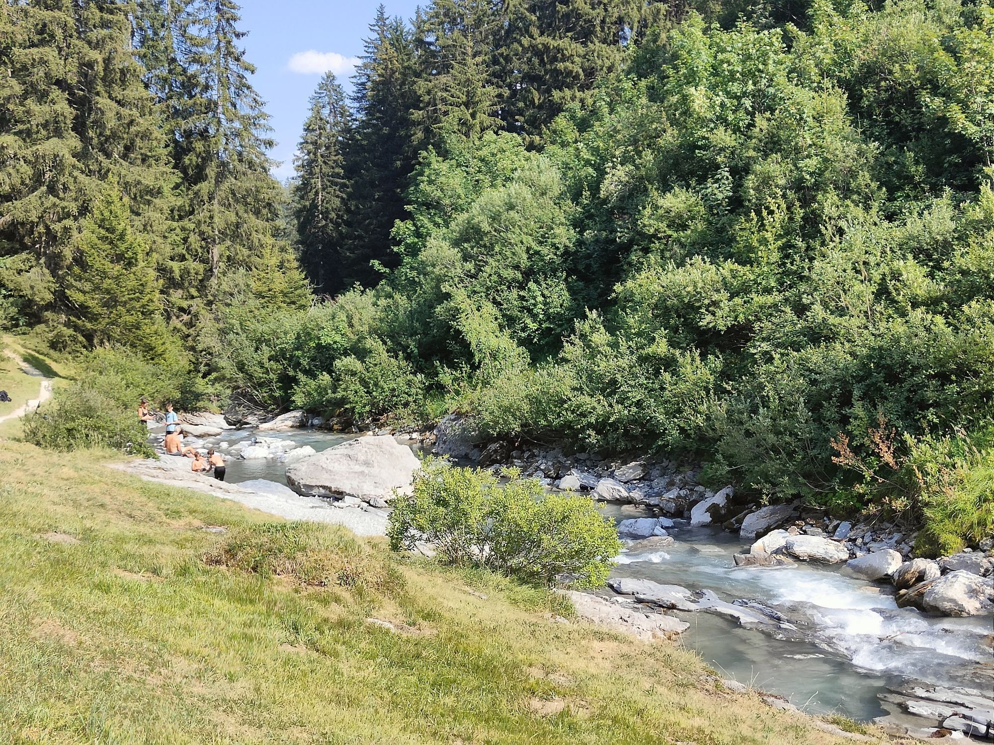
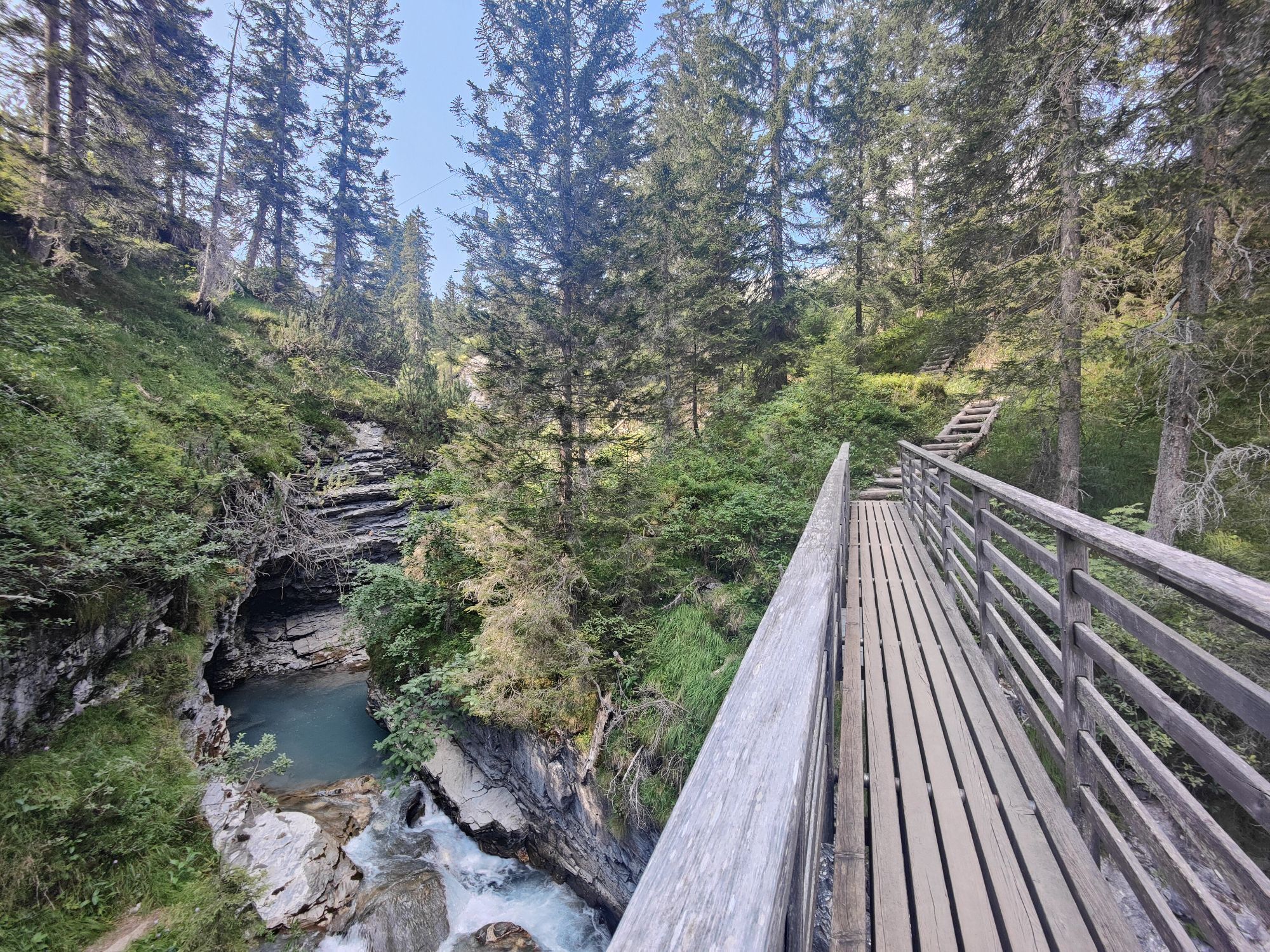
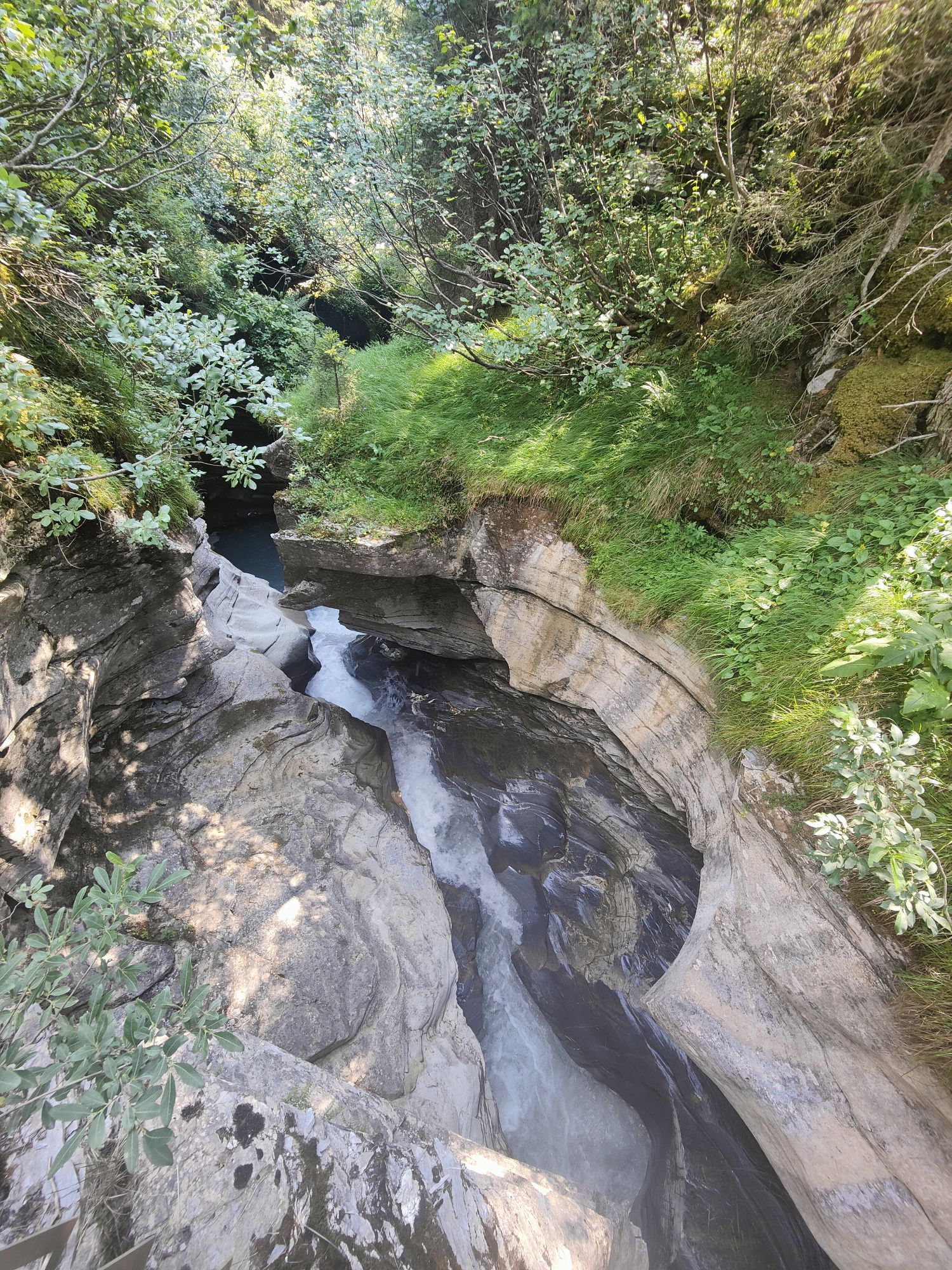
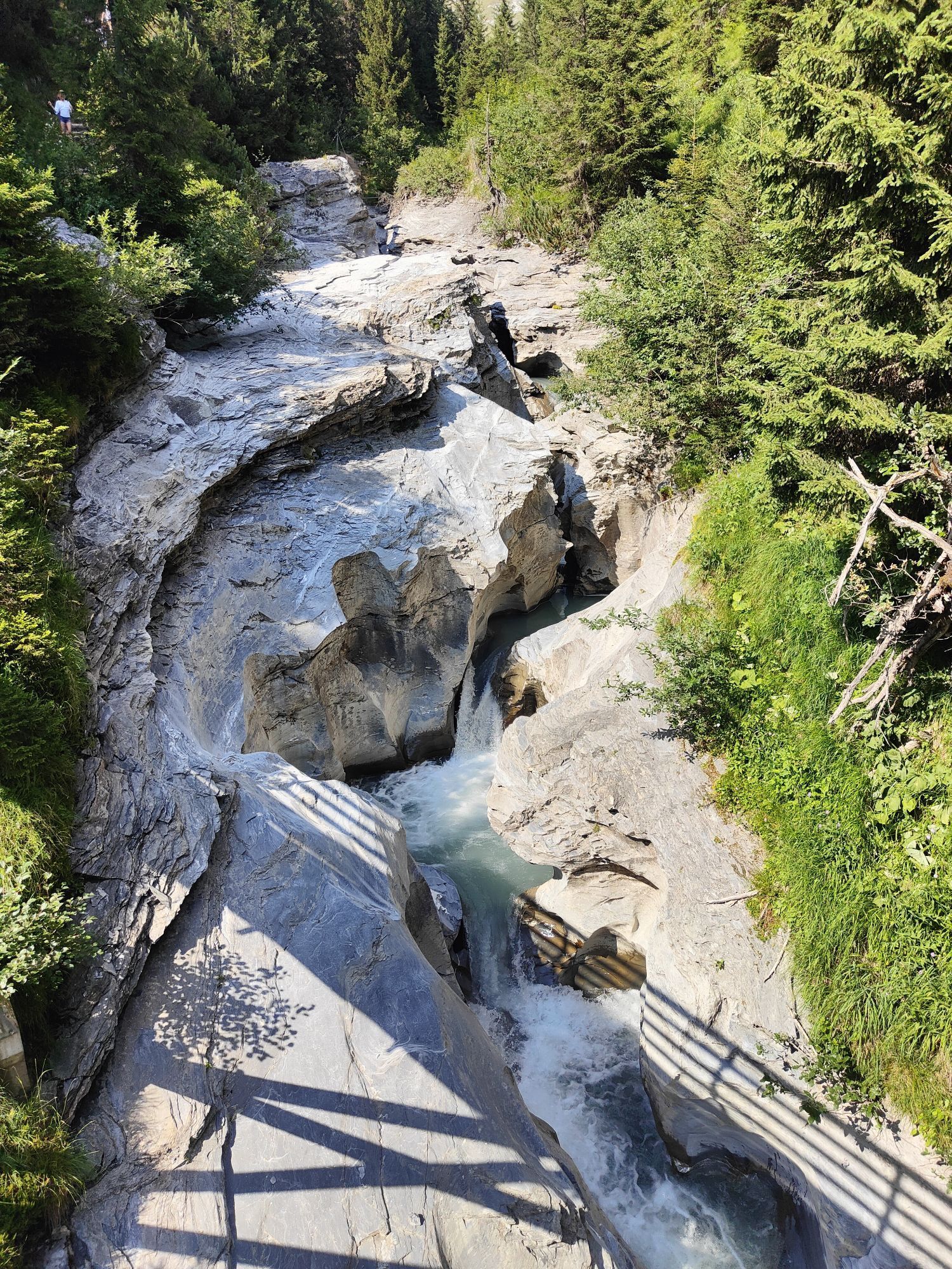
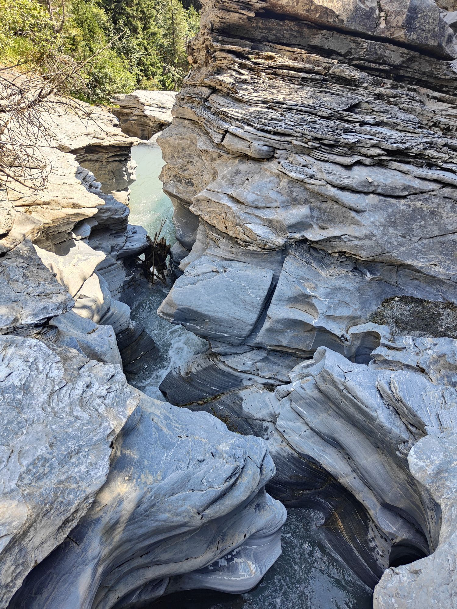
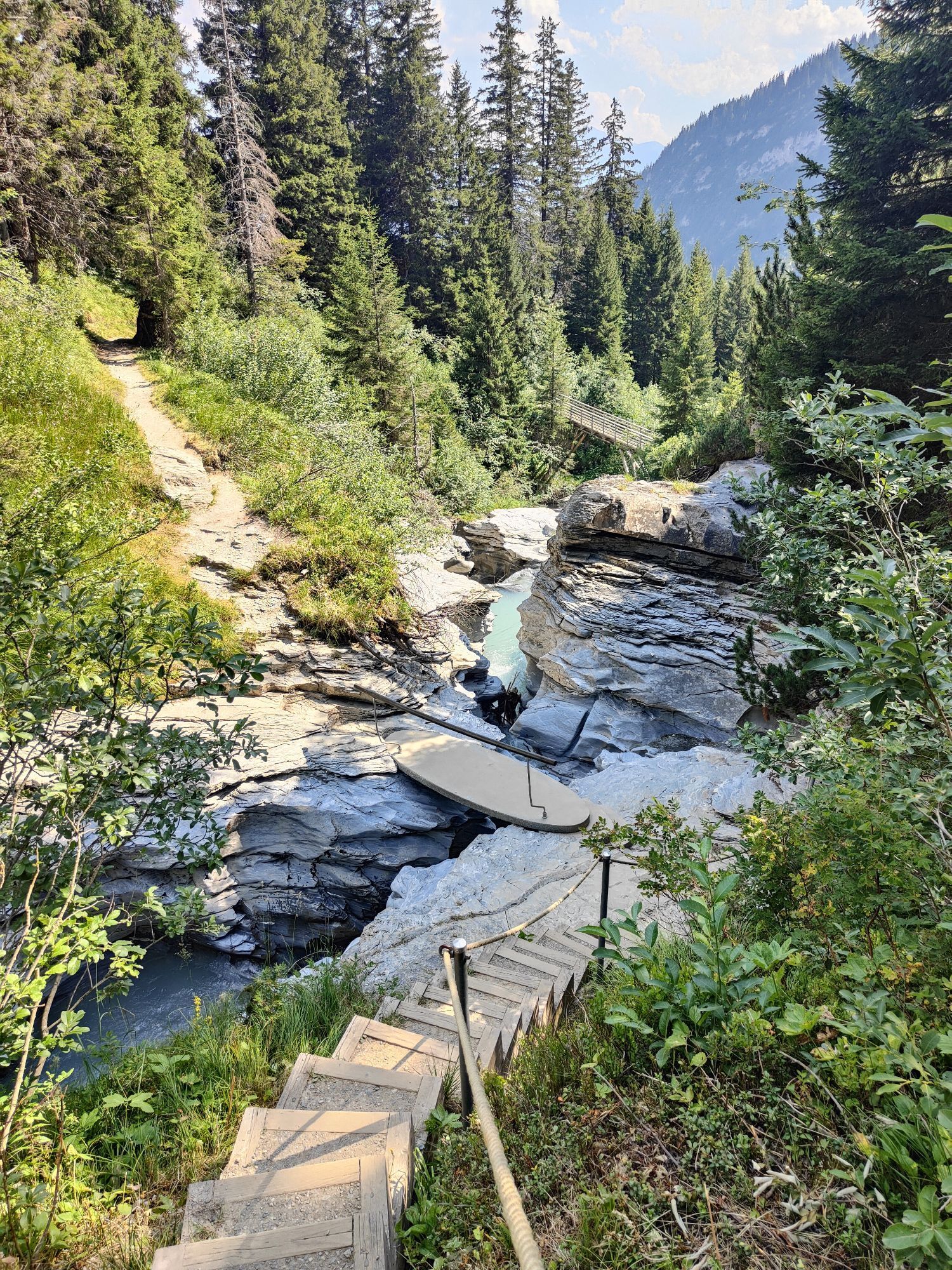
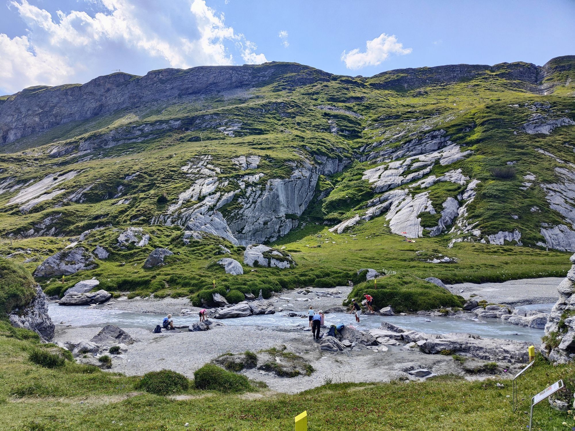
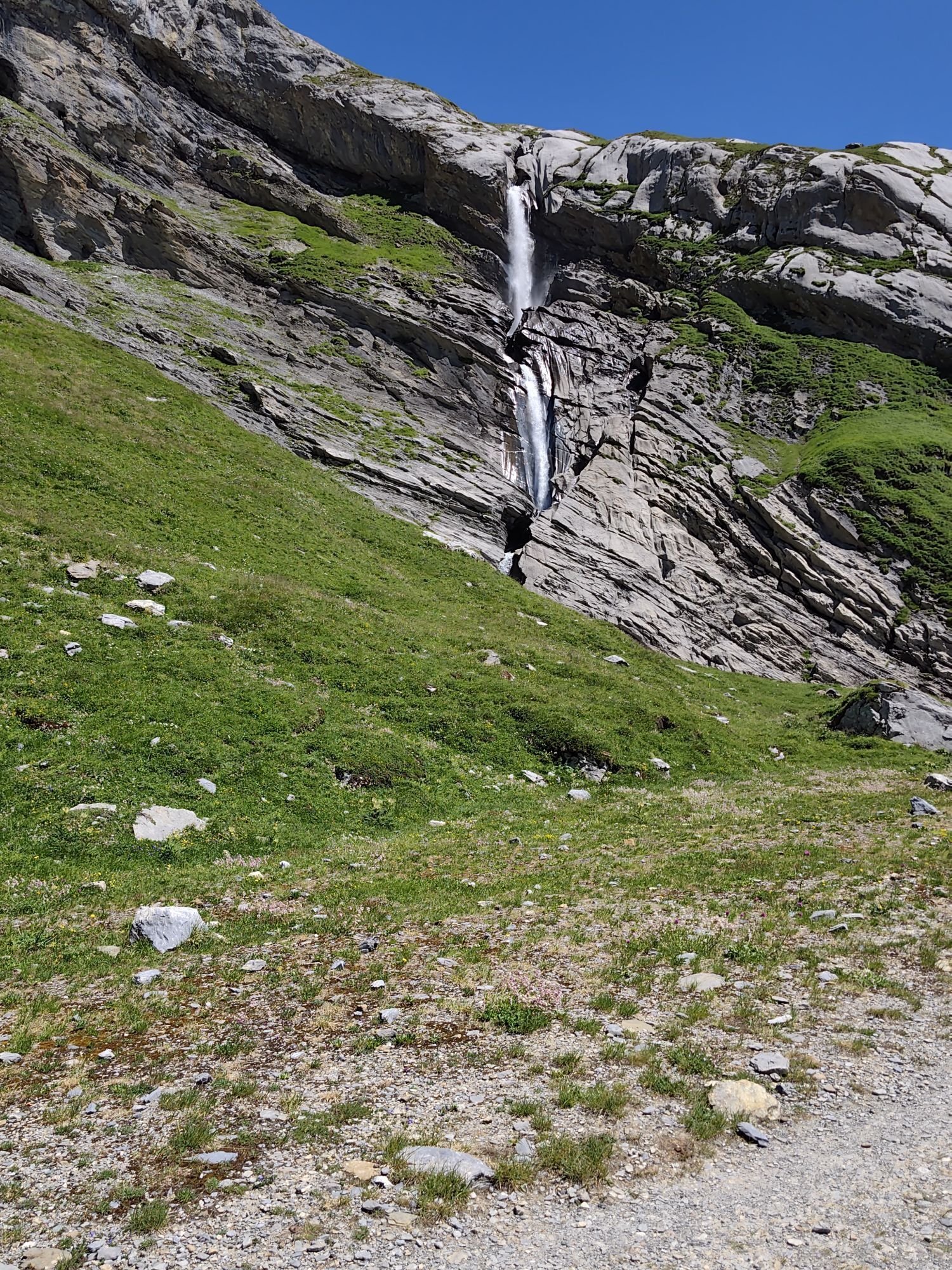
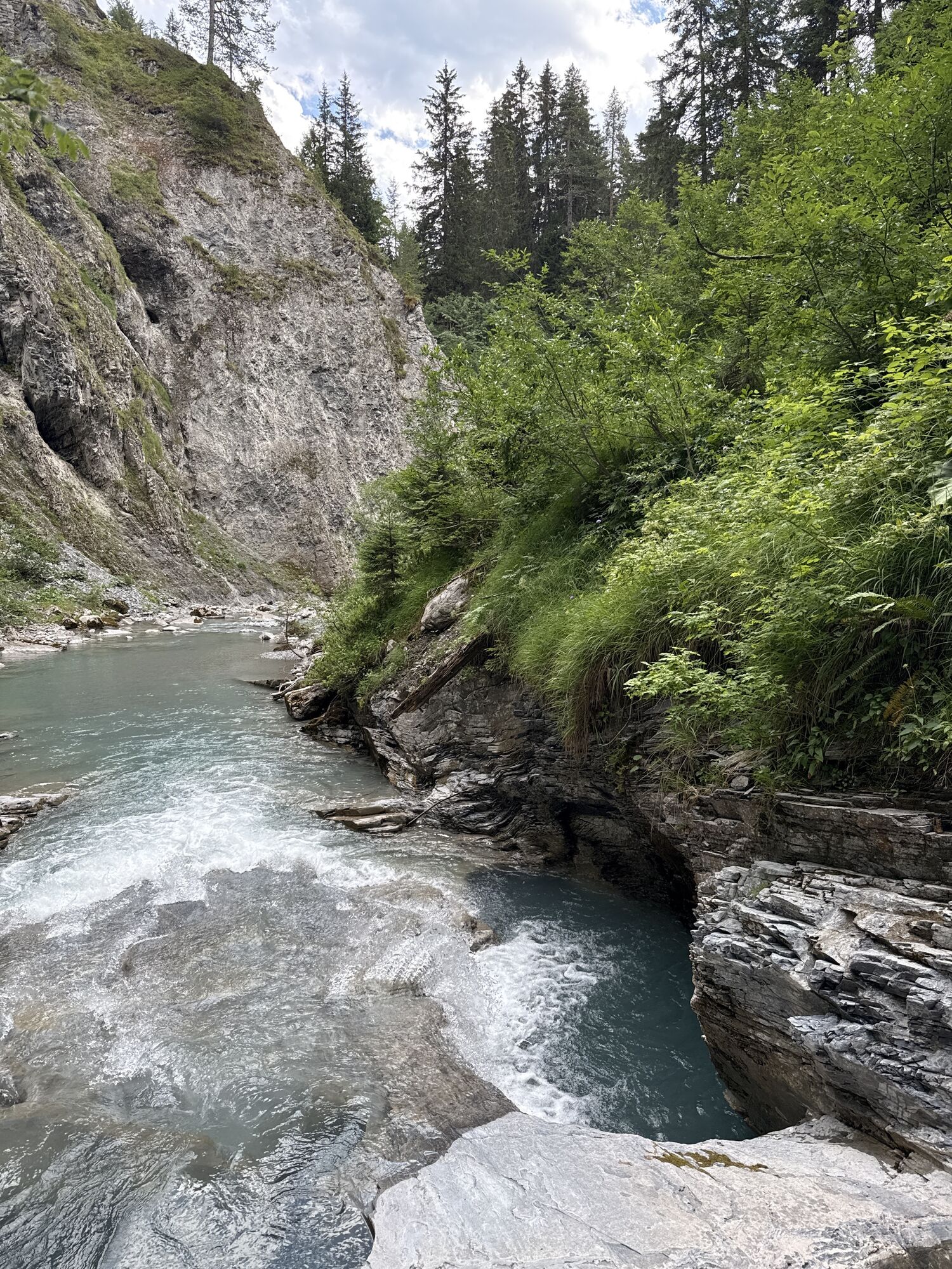
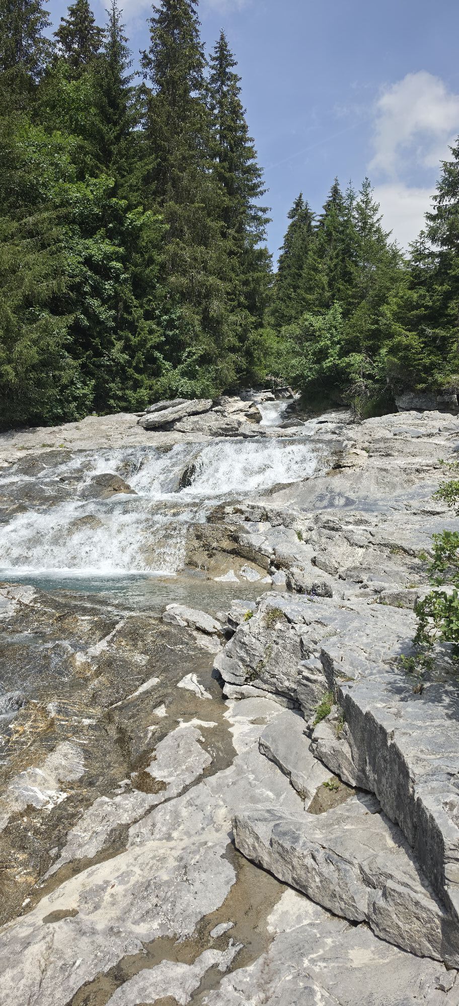
The descent follows the fascinating water trail Trutg dil Flem.
Uzyskaj wgląd
Zawsze na żywo z ponad 9 500 kamer internetowych. bergfex Jako użytkownik Pro, możesz teraz zobaczyć odpowiednie kamery internetowe dla wielu wycieczek w aplikacji wycieczki od. Pozwala to na bezpośredni podgląd aktualnych warunków.


Popularne wycieczki w okolicy
-
4,9
Rheinschlucht: From Ilanz to Versam into the heart of the Rheinschlucht
średniWędrówka 11,4 km -
4,6
Pizol - Batöni - Weisstannen
ciężkiWędrówka 11,7 km -
4,4
4-lake hike: Caumasee - Crestasee - Felsbach Gorge
średniWędrówka 12,8 km -
4,8
Rhine Gorge Hike: Senda Ruinaulta (659)
światłoWędrówka 9,39 km -
4,8
Mountain hike to the Strudeltöpfe on Alp Mora: Bargis-Trin
ciężkiWędrówka 18 km -
4,7
The Water Trail: Trutg dil Flem 764
ciężkiTrasa tematyczna 8,56 km -
4,5
Pizol summit tour
średniWędrówka 9,28 km -
5,0
Caumasee tour: Flims - Caumasee - Conn - Flims
światłoWędrówka 7,94 km -
4,2
Waterfall Arena Batöni
średniWędrówka 8,24 km -
5,0
Lower Segnesboden: Nagens Sura - Lower Segnesboden - Segnes hut - Alp Nagens
średniWędrówka 6,66 km
Wędrówki i tropienie


Nie przegap ofert i inspiracji na następne wakacje
Twój adres e-mail została dodana do listy mailingowej.





