


SEGNES TREK - Stage 4: Segnespass - Martinsmad
Poziom trudności: T3
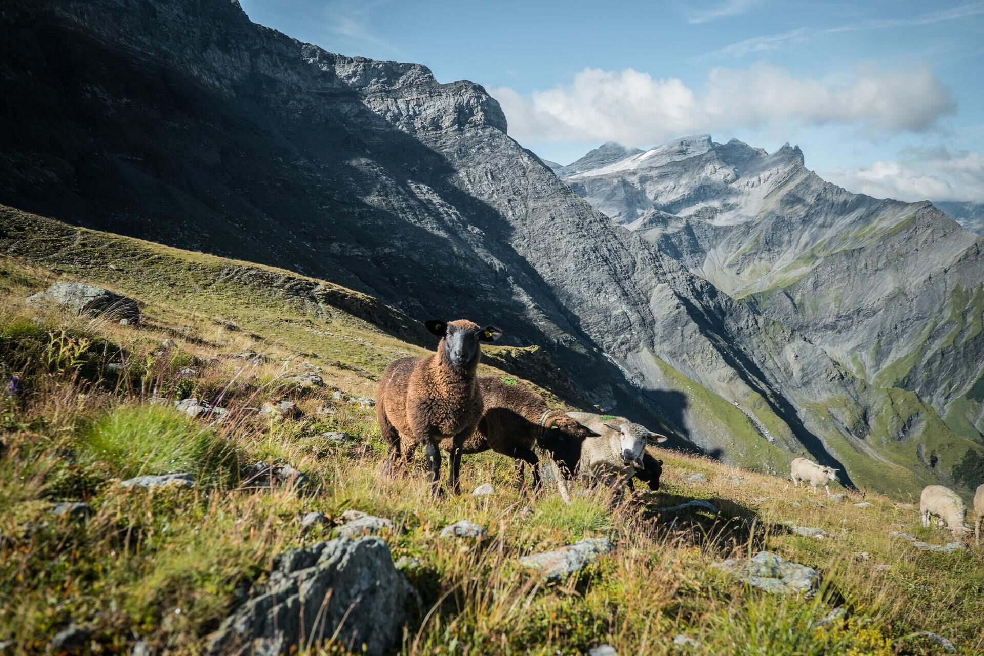
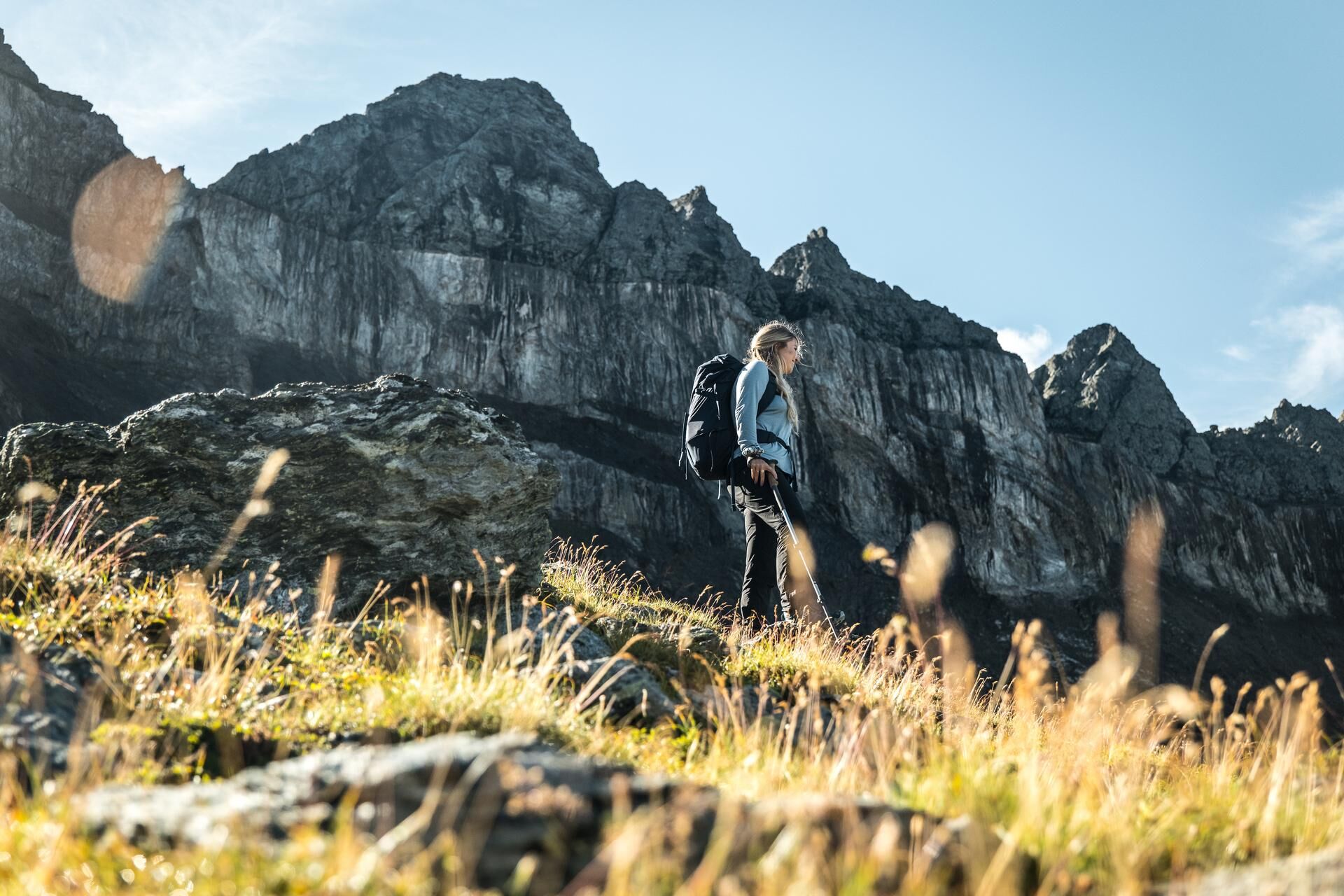
The shortest stage of the segnes trek leads you trough the Glarnerland. At the beginning, the descent is steep, but the trail soon levels out. Behind you, you have the Tschingelhörner with the Martinsloch...
Alternative Route
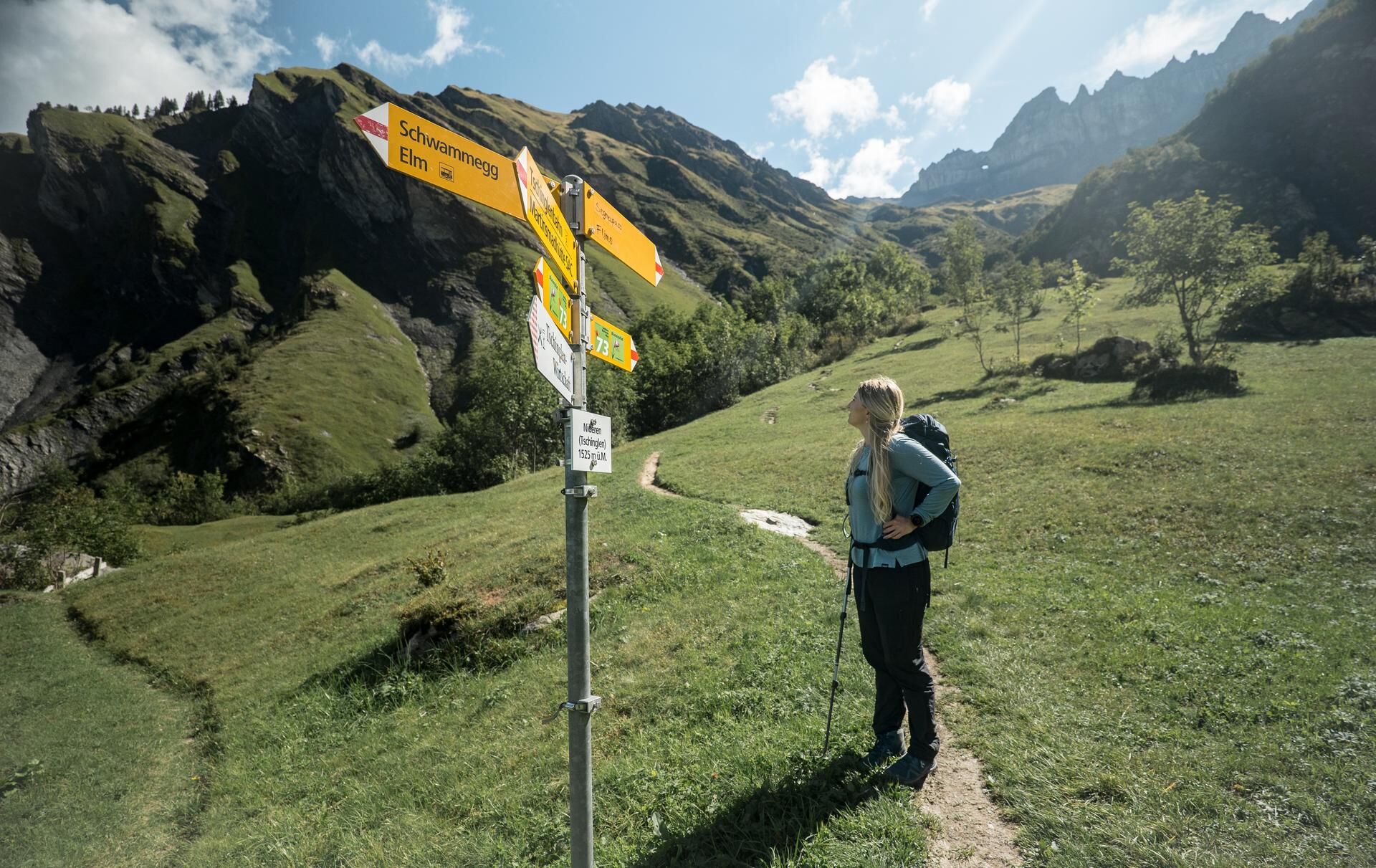
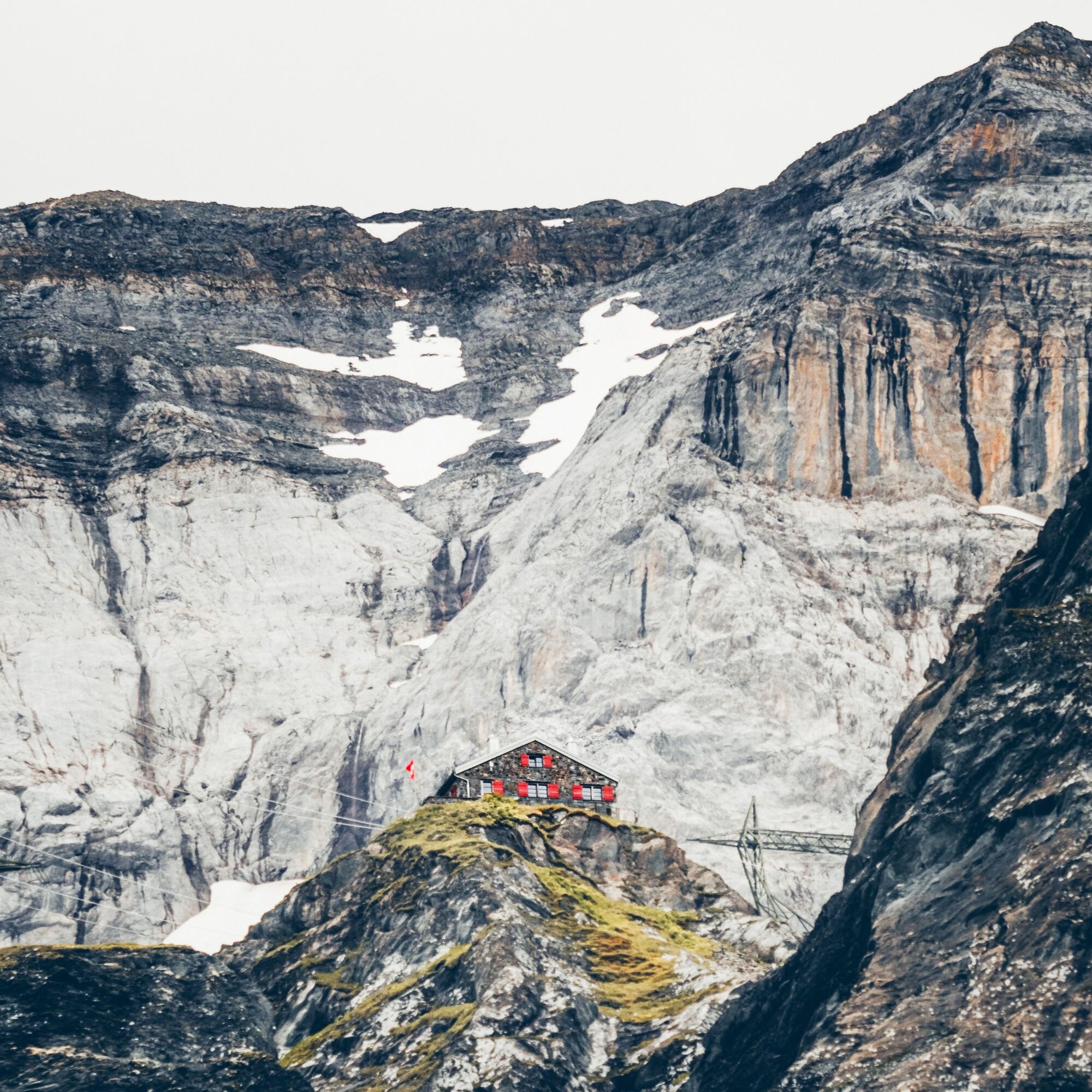
Alpine hiking trail (T4): Tschinglen Inn – Mittagshorn – Martinsmad Hut Distance: 5 km Duration: 2 h 35 min Ascent: 940 m Descent: 415 m


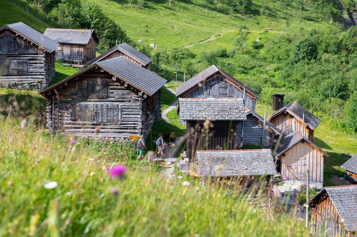
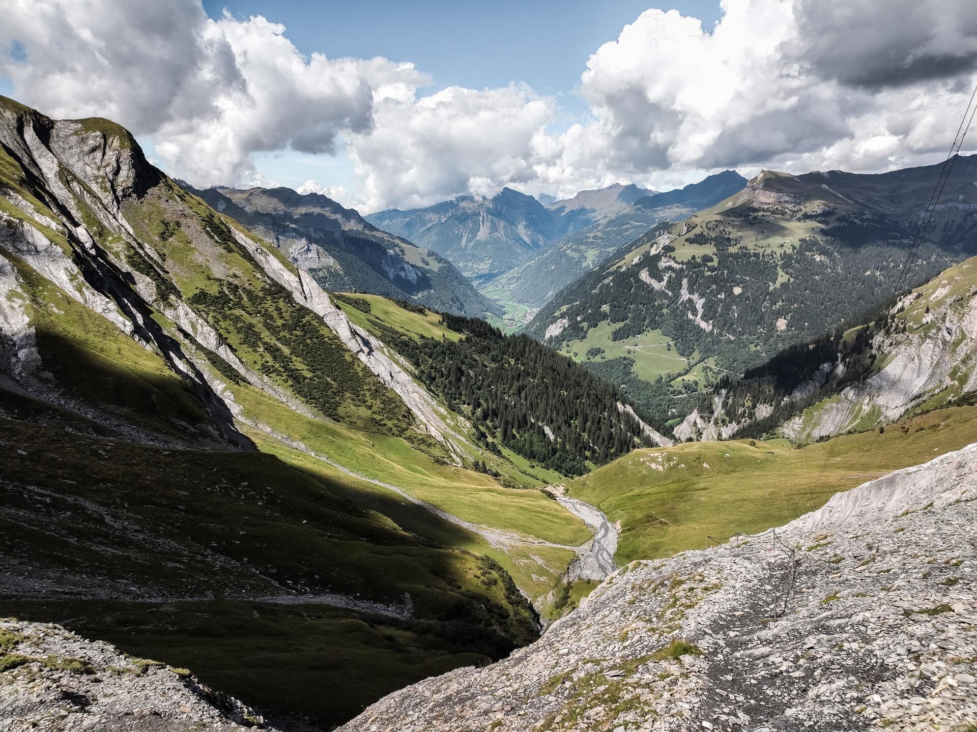
Segnespass - Tschingelenalp - Martinsmad
Hiking backpack with rain cover, hiking boots, weather-appropriate and durable layered clothing, change of clothes, trekking poles, sun and rain protection, food and drinking water, first aid kit, pocket knife, headlamp, map material, hut sleeping bag, and personal hygiene items.
T3
Via Nova 62 CH-7017 Flims
Tel: +41 (0)81 920 92 00
For those seeking a more challenging option that day, the alpine hiking trail (T4) via Mittagshorn (2,415 m) to the Martinsmad Hut is the way to go.
Kamery internetowe z trasy

Popularne wycieczki w okolicy
-
4,5
4-lake hike
średniWędrówka 12,8 km -
4,7
The Water Trail: Trutg dil Flem 764
ciężkiTrasa tematyczna 8,56 km -
4,7
Rhine Gorge Hike: Senda Ruinaulta (659)
światłoWędrówka 9,39 km -
4,8
Rheinschlucht: From Ilanz to Versam into the heart of the Rheinschlucht
średniWędrówka 11,4 km -
4,3
Round trip hike Falera - Curnius - Alp Dadens - Falera
średniWędrówka 11,4 km -
5,0
Circular route: Lake Cauma - Rhine Gorge "Swiss Grand Canyon"
średniWędrówka 19,8 km -
3,0
Tour zum Martinsloch
ciężkiWędrówka 3,82 km -
5,0
Rhine Gorge Circular Hike
średniWędrówka 11,4 km -
3,0
Route of amazement Calfeisental
średniWędrówka 9,09 km -
Trin Mulin - Crestasee
światłoWędrówka 4,58 km
Wędrówki i tropienie


Nie przegap ofert i inspiracji na następne wakacje
Twój adres e-mail została dodana do listy mailingowej.