From Laouzas to Montalet
ciężki
Pobierz tę trasę na swój telefon komórkowy
From Laouzas to Montalet
ciężki
Wędrówka
15,37
km
Zeskanuj kod QR i rozpocznij nawigację w aplikacji bergfex.


Wędrówki i tropienie





From Laouzas to Montalet
ciężki
Odległość
15,37
km
Czas trwania
06:00
h
Ascent
465
hm
Poziom morza
778 -
1 234
m
Ścieżka do pobrania
From Laouzas to Montalet
ciężki
Wędrówka
15,37
km
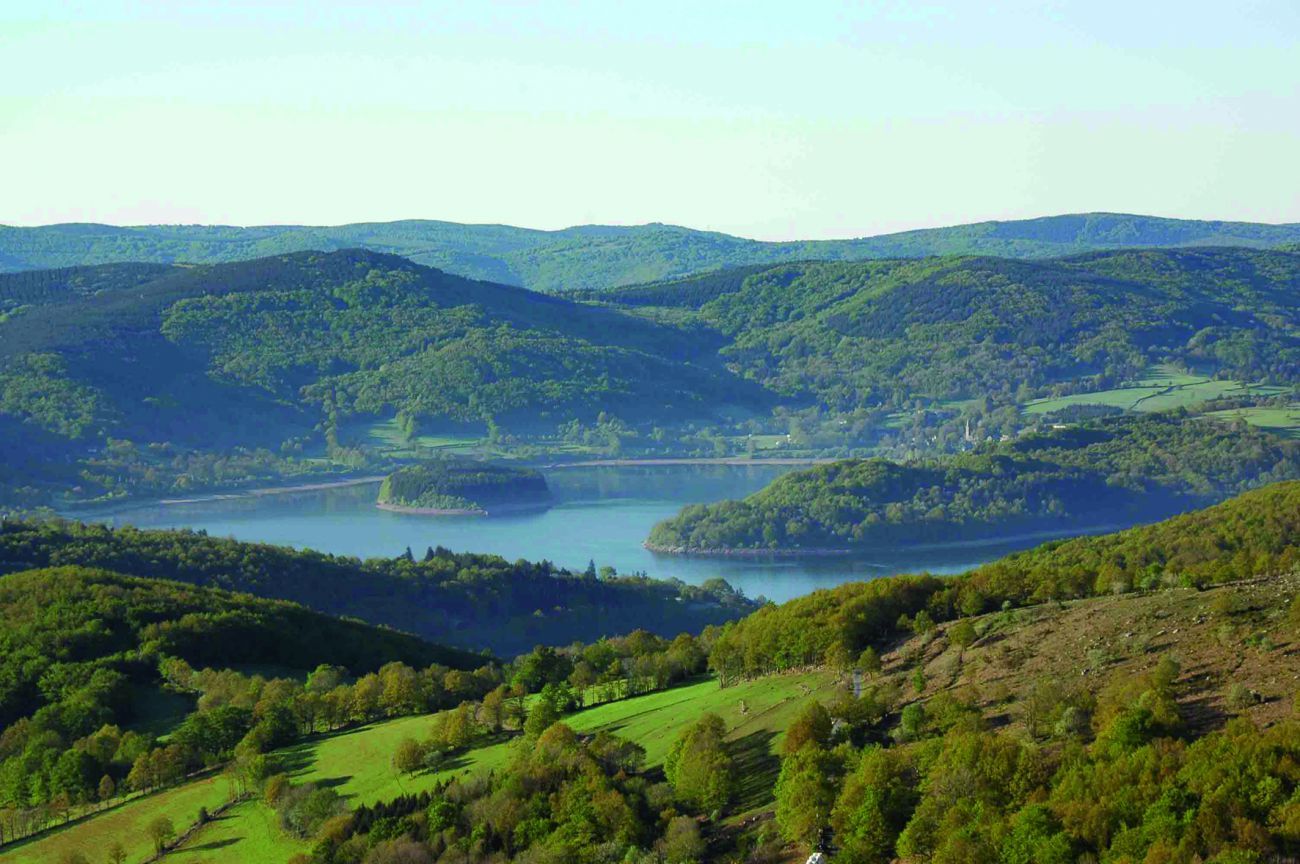
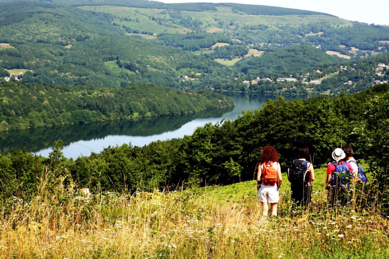
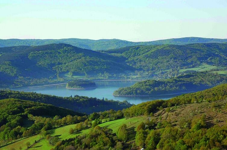
Nestled in a setting of verdant mountains, Lake Laouzas is teeming with perch, trout, carp, and other zander—a dream for fishermen! This artificial body of water is a fine engineering achievement and part...
Opis
Nestled in a setting of verdant mountains, Lake Laouzas is teeming with perch, trout, carp, and other zander—a dream for fishermen! This artificial body of water is a fine engineering achievement and part of a series of EDF reservoirs. Built on the Vèbre River, a tributary of the Agout, its arch dam measures 250m long and 50m high, holding a volume of 45 million m³ over a surface area of 320 hectares.
When the lake is ""full,"" its waters are periodically drawn into 18km of underground pipe, which crosses the Somail mountains before arriving, 600m lower, at the Montahut power plant to produce 270 million kWh annually. A dream for engineers? A great place for fishermen.
When the lake is ""full,"" its waters are periodically drawn into 18km of underground pipe, which crosses the Somail mountains before arriving, 600m lower, at the Montahut power plant to produce 270 million kWh annually. A dream for engineers? A great place for fishermen.
Trasa
Rieu Montagné
(784 m)
Rozliczenie
0,0 km
Pontis
(892 m)
Rozliczenie
4,6 km
Pic de Montalet
(1 259 m)
Szczyt
9,1 km
Trasa
From Laouzas to Montalet
ciężki
Wędrówka
15,37
km
Autor
Dostarczone przez Tarn Tourisme
Wycieczkę From Laouzas to Montalet zapewnia outdooractive.com.


Informacje o trasie
Trasa
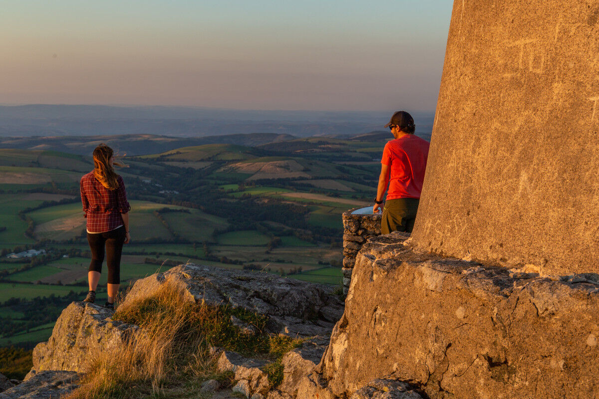
Point 1: At the Rieu-Montagné farm, go straight ahead along the path under the museum (GR® de Pays marked in red-yellow). On the tarmac, continue straight ahead. At the fork, climb to the right; 30 m later, turn left. At the crossing, cross towards the Rouayras path. Continue straight ahead. At the next two forks, turn left.
Point 2: On the tarmac, cross the bridge on the right (leave the GR® de Pays on the right). Cross the D 62 and climb straight ahead. At the first intersection, climb to the right. On the flat, go straight ahead (on the left, possible connection with the Payrac discovery trail, PR 29); 80 m further, turn right.
Point 3: On the tarmac, make a hairpin turn to the left. At the first intersection, go straight ahead. At the second, leave the tarmac for the path on the right. Climb to the Besset platform, turn right, then climb the steep slope straight ahead (! > be sure to close the gate well!); 40 m later, go right. At the crossing, continue straight on the track. At the junction, take the first track on the right. At the fork 200 m later, take the left path. Follow this path to the road.
Point 4: On the road, turn left; 50 m further, take the path over the moorland on the right. Immediately after, go left (steep zigzag climb).
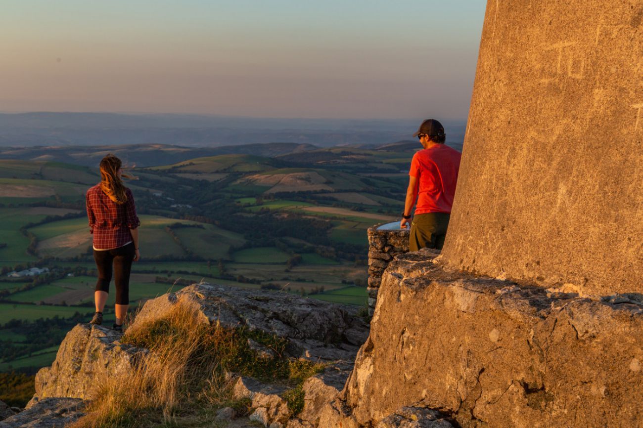
Point 5: On the Montalet platform, two paths are available on the right to reach the summit. Return to point 4 via the same route.
Point 6: Continue descending on the road. Leave the track on the right (return to the GR® de Pays des Monts et Lacs in Haut Languedoc to the start).
Point 7: 200 m later, turn onto the path on the right. Go straight ahead. At the fork, descend to the right. Pass under the ruins of Proubencous. Go around the stable on the left-hand side. After the last building, turn right.
Point 8: On the road, turn right. Cross Pontis. Descend the first path on the left; 100 m later, turn left. At Cabot, turn right. On the D 62, turn right to reach the bridge (step 2) and the outgoing route.
Point 2: On the tarmac, cross the bridge on the right (leave the GR® de Pays on the right). Cross the D 62 and climb straight ahead. At the first intersection, climb to the right. On the flat, go straight ahead (on the left, possible connection with the Payrac discovery trail, PR 29); 80 m further, turn right.
Point 3: On the tarmac, make a hairpin turn to the left. At the first intersection, go straight ahead. At the second, leave the tarmac for the path on the right. Climb to the Besset platform, turn right, then climb the steep slope straight ahead (! > be sure to close the gate well!); 40 m later, go right. At the crossing, continue straight on the track. At the junction, take the first track on the right. At the fork 200 m later, take the left path. Follow this path to the road.
Point 4: On the road, turn left; 50 m further, take the path over the moorland on the right. Immediately after, go left (steep zigzag climb).
Point 5: On the Montalet platform, two paths are available on the right to reach the summit. Return to point 4 via the same route.
Point 6: Continue descending on the road. Leave the track on the right (return to the GR® de Pays des Monts et Lacs in Haut Languedoc to the start).
Point 7: 200 m later, turn onto the path on the right. Go straight ahead. At the fork, descend to the right. Pass under the ruins of Proubencous. Go around the stable on the left-hand side. After the last building, turn right.
Point 8: On the road, turn right. Cross Pontis. Descend the first path on the left; 100 m later, turn left. At Cabot, turn right. On the D 62, turn right to reach the bridge (step 2) and the outgoing route.
Najważniejsze informacje geologiczne
Tak
Wycieczka na szczyt
Tak
Sprzęt
Clothing suitable for the season and conditions (cold, hot, humid...)
Hiking shoes suitable for the terrain (even for children!)
Hiking poles (useful for stability and to relieve joints)
Mobile phone and spare battery
Instrukcje bezpieczeństwa
Before setting off:
Check the general and local weather, ensuring no precipitation Get information about the approach walk, height of the itinerary, estimated duration, possible escape routes (IGN map, GPS, guidebook, etc.) Assess possible risks by consulting mountain professionals, refuges, or lodgings Inform a close contact of your plans and update them in case of changes: departure and return times, number of participants with each phone number, vehicle(s), parking Avoid going alone, use equipment suitable for the activity, properly adjusted and in good condition, headlamp, complete first aid kit, survival blanket, etc.In case of emergency
Alert: call 112 (European emergency number)
5 key points to communicate your alert:
Where? municipality, location, itinerary, altitude Who? identity, phone number What? type of accident, number of victims, severity, fall dynamics When? time of accident Weather? wind, visibility
Informacje o przyjeździe
Przybycie
Consider carpooling
Parking
Parking near the starting point.
Dodatkowe informacje i wskazówki
Dodatkowe informacje
APIDAE Tourism Data updated on 05/08/2022 by "Tarn Tourisme".
An error on this sheet? Write to the owner citing these references:
Sheet name: Du Laouzas au Montalet | Sheet ID: 789889 | URL (link) of this Outdooractive page.
An error on this sheet? Write to the owner citing these references:
Sheet name: Du Laouzas au Montalet | Sheet ID: 789889 | URL (link) of this Outdooractive page.
Nie ma jeszcze recenzji
Popularne wycieczki w okolicy
-
4,0
LEGENDS TRAIL HIKE
średniWędrówka 11,4 km -
4,0
LAUZE HIKE
średniWędrówka 9,41 km -
TOUR DE LAC DE VESOLES HIKE
światłoWędrówka 6,27 km -
HIDDEN HIKING TRAIL
średniWędrówka 17,5 km -
CAR TOURISTIC ROUTE - MONTS DE LACAUNE
światłoMotorrad 154,6 km -
CAR TOURISTIC ROUTE - THE LAKE ROUTE
światłoMotorrad 129,1 km -
The Payrac discovery trail
światłoWędrówka 1,79 km -
Cycle Route - C4 Around the Laouzas lake by bike
światłoDroga rowerowa 19,8 km -
PREVERT TRAIL HIKE
światłoWędrówka 4,95 km -
HAUTE VALLEE DE L'AGOUT HIKE
średniWędrówka 17,0 km
Wędrówki i tropienie

Ponad 550.000 propozycji wycieczek, szczegółowe mapy i intuicyjny planer tras sprawiają, że aplikacja jest niezbędna dla wszystkich entuzjastów przyrody.

Nie przegap ofert i inspiracji na następne wakacje
Zapisz się do newslettera
Błąd
Wystąpił błąd. Spróbuj ponownie.
Dziękujemy za rejestrację
Twój adres e-mail została dodana do listy mailingowej.
Wycieczki po całej Europie
Austria
Szwajcaria
Niemcy
Włochy
Słowenię
Francja
Holandia
Belgia
Polska
Liechtenstein
Czechy
Słowacja
Hiszpania
Chorwacja
Bośnia i Hercegowina
Luksemburg
Andorra
Portugalia
Islandia
Wielka Brytania
Irlandia
Grecja
Albania
Macedonia Północna
Malta
Norwegia
Czarnogóra
Mołdawia
Kosowo
Węgry
San Marino
Rumunia
Estonia
Łotwa
Białoruś
Cypr
Litwa
Serbia
Bułgaria
Monako
Dania
Szwecja
Finlandia





