


TOUR DE LAC DE VESOLES HIKE
ATTENTION (Information of February 13, 2026): for your safety, due to recent bad weather, this route is closed until further notice.
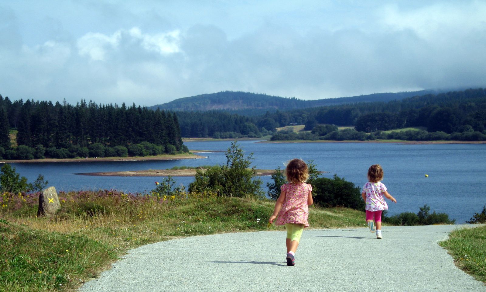
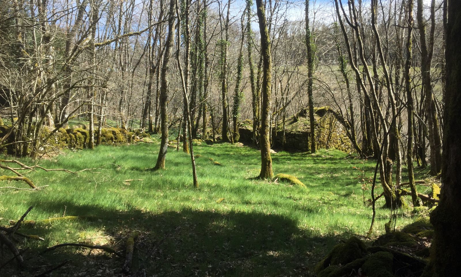
Forest atmosphere for this walk around the Lac de Vezoles, leading to...
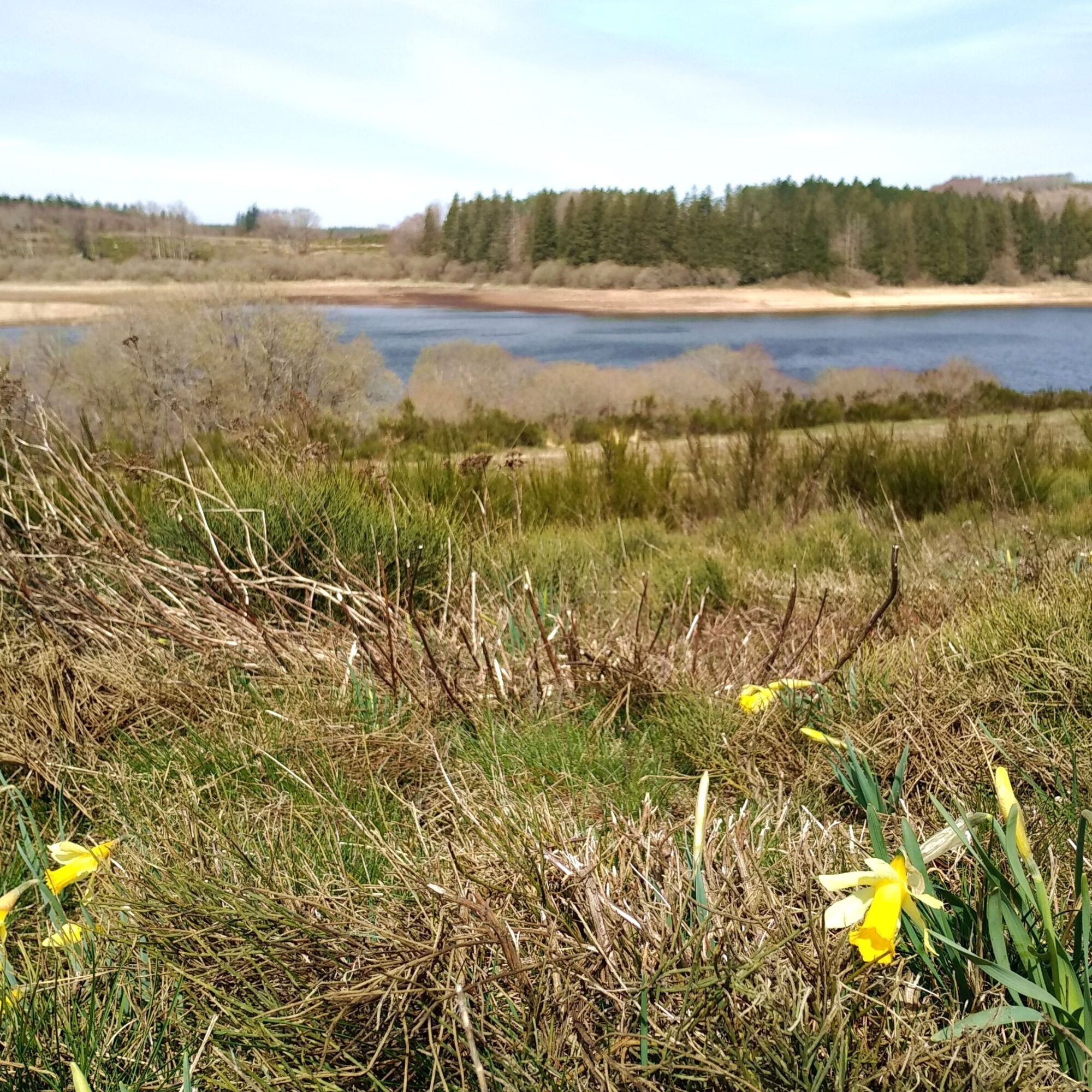
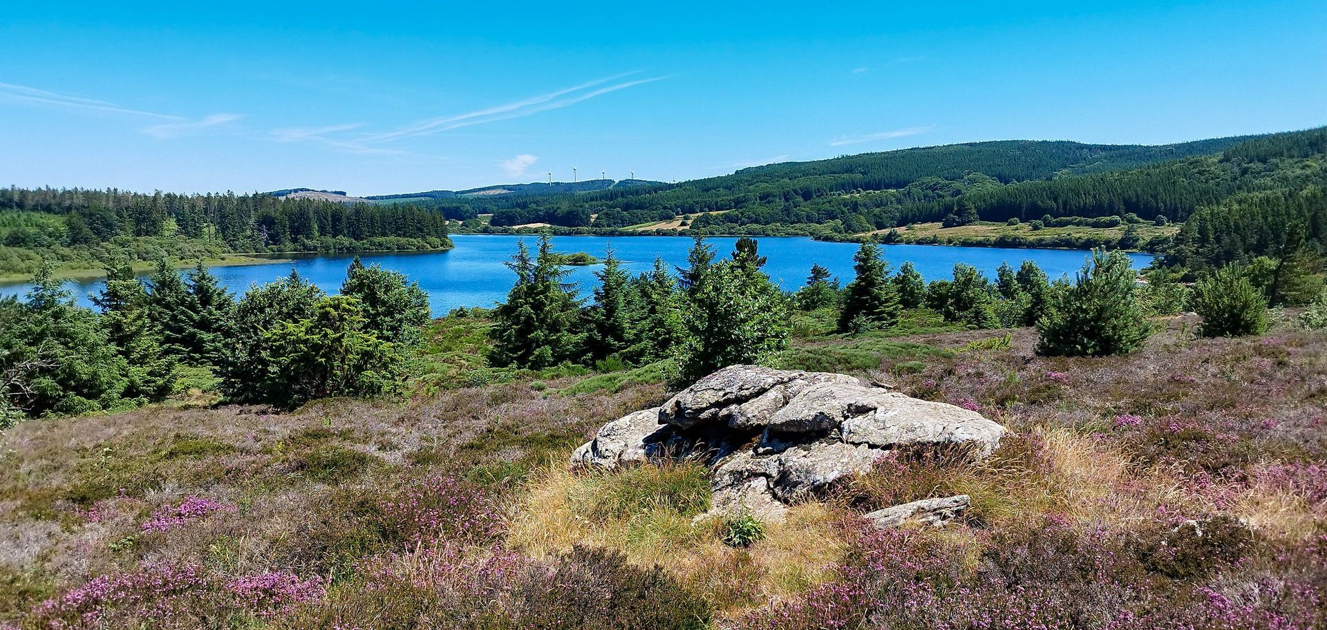
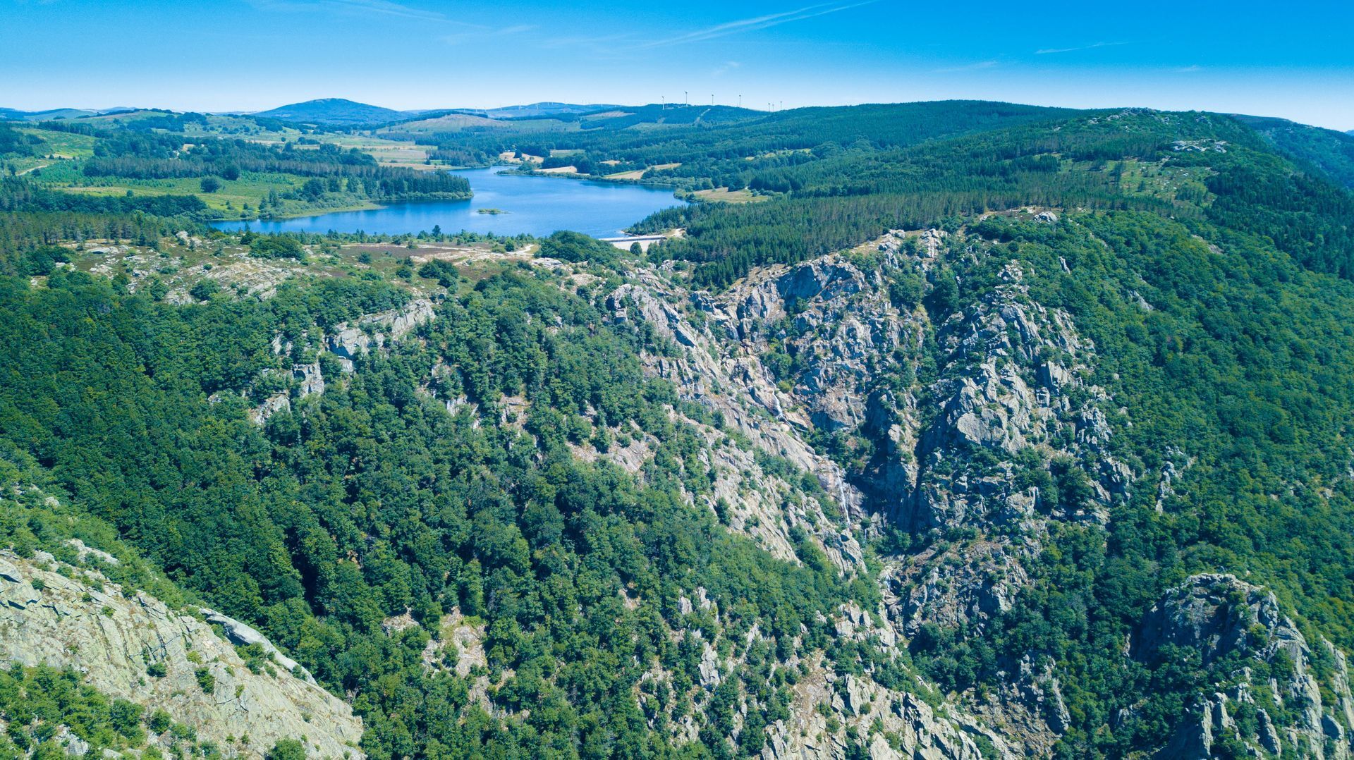
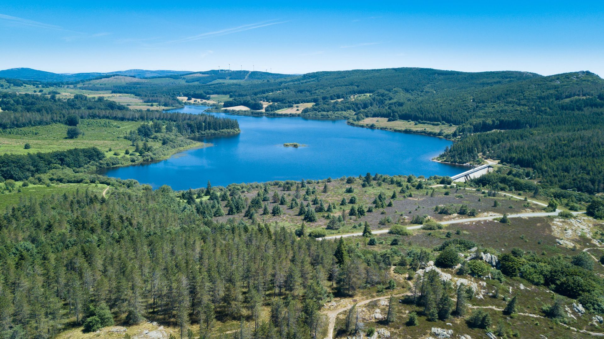
Forest atmosphere for this walk around the Lac de Vezoles, leading to magnificent viewpoints. The lake's protected peat bogs are home to some remarkable flora.

1
Stage 1 Descend towards the lake, cross the picnic area.
2
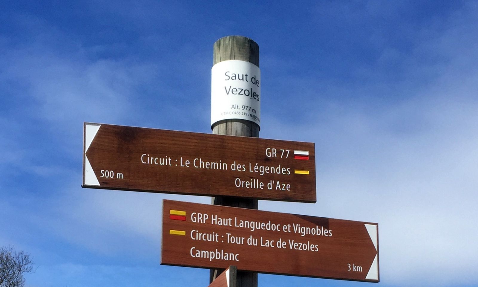
Turn right towards the dam. Climb to the right at the edge of the forest for 50 m, then turn right onto the path that leads through the forest. Turn left onto the D 169E1 for 250 m (junction with the PR Le chemin des légendes).
3
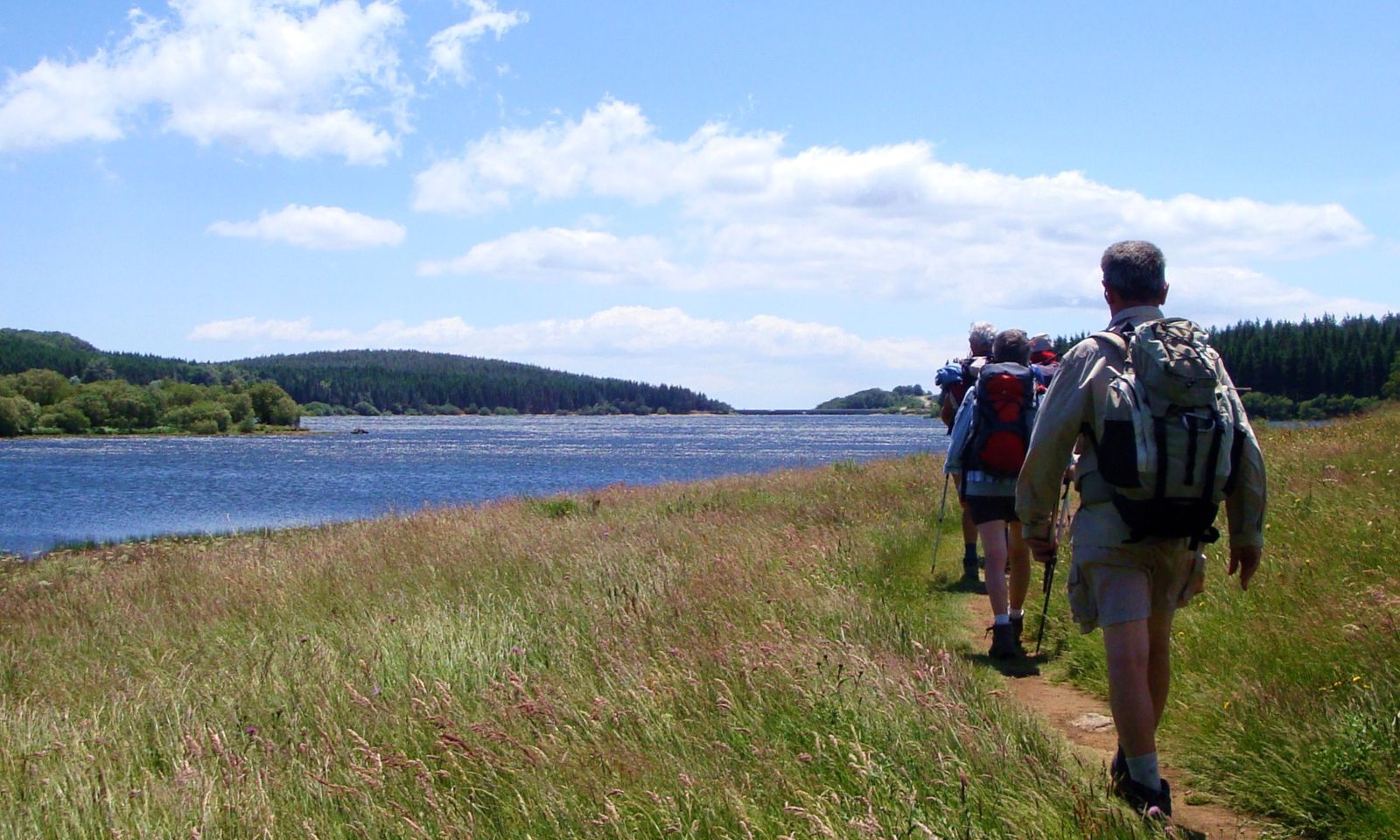
Go downhill to the left and cross the dam. At the end, take the left-hand track for 350 m. At the track junction, turn left to reach a crow's-foot at the entrance to the Prémian forest.
4
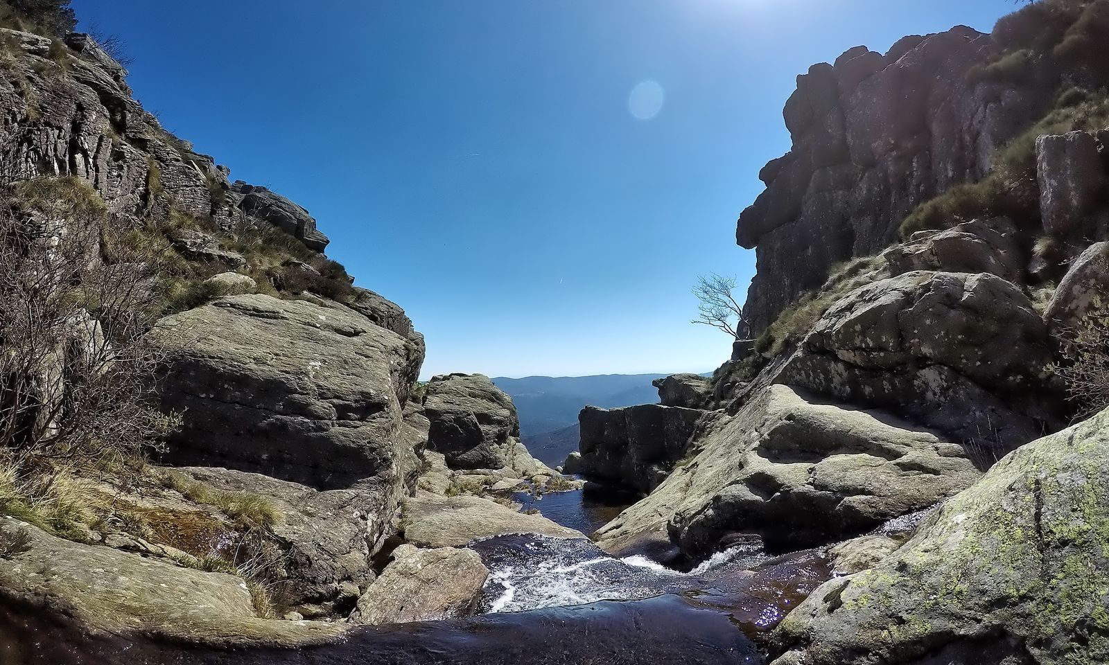
Turn left onto the path winding between boulders, and continue along the lake. After the picnic area, ignore the track and continue left to cross the Farrals stream (shelter). Follow the beech forest to the lake, passing between two boulders. After the wooden gate, take the track on the left for 250 m, then the path on the left, along the edge of the forest path.
5
At the Campblanc farm (private property), go around the buildings to the right and continue along the main track to the left (GR®7). Cross the bridge over the Bureau stream.
6
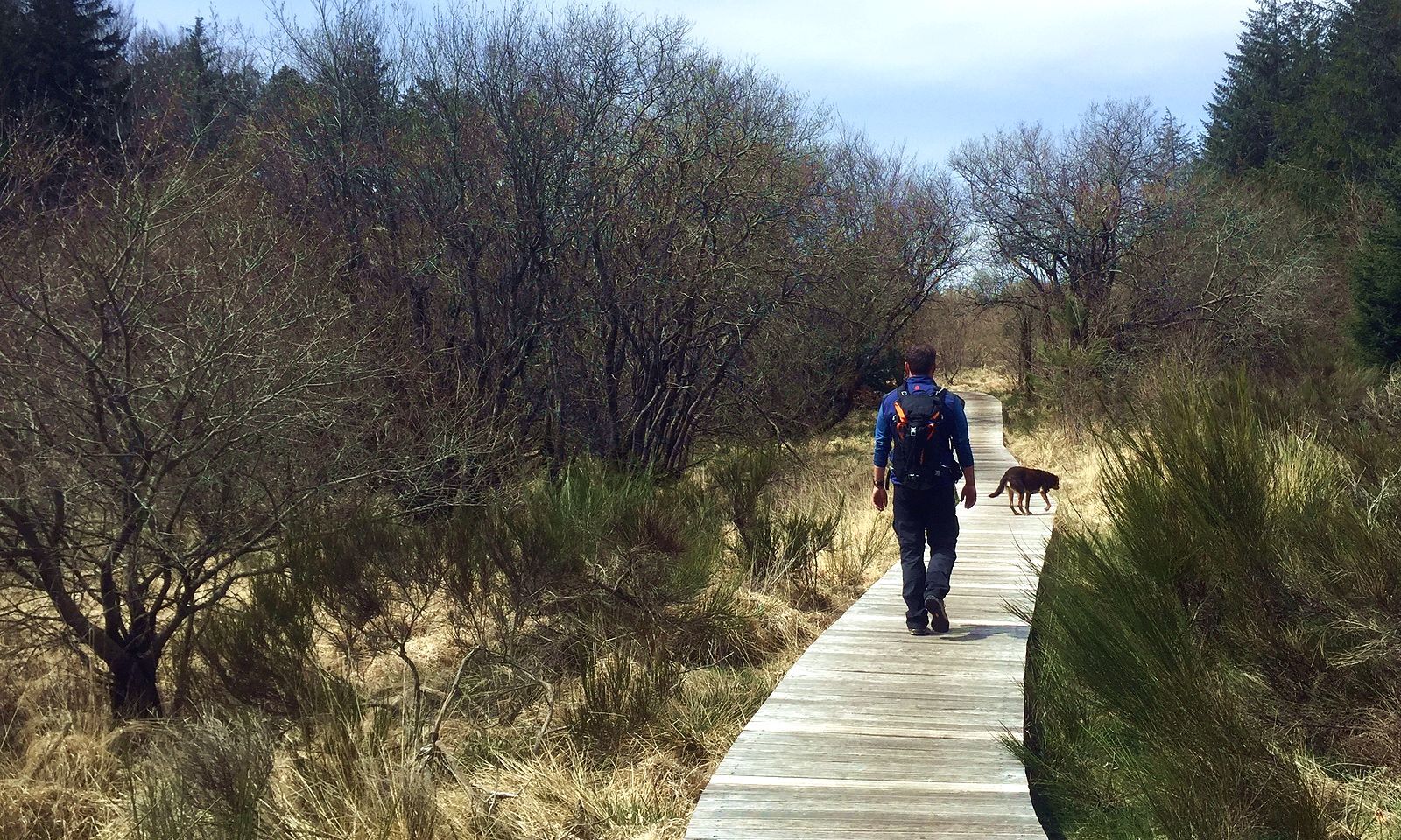
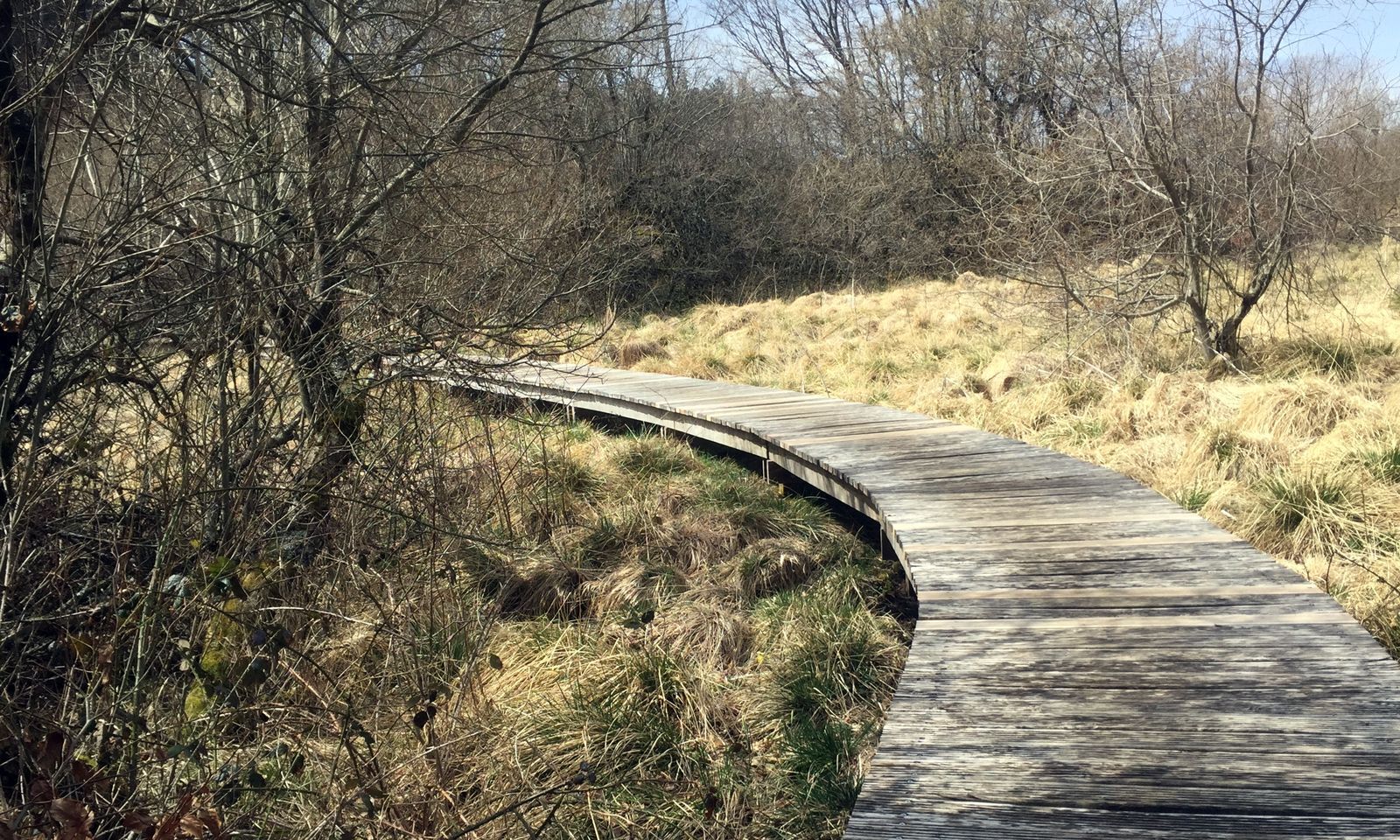
Ignore the right-hand switchbacks, cross two peat bogs on duckboards and return to the picnic area from the outset before rejoining the starting point.
In case of emergency, call 112.
Jaune PR
+33 4 67 67 76 36
HÉRAULT DEPARTMENTAL COUNCIL SPORTS AND NATURE DEPARTMENT
PDESI
Popularne wycieczki w okolicy
-
5,0
HIKING ROUTE OF THE TERRASSES DE L'ESPINOUSE
średniWędrówka 16,8 km -
4,0
LEGENDS TRAIL HIKE
średniWędrówka 11,4 km -
4,0
LAUZE HIKE
średniWędrówka 9,41 km -
3,0
CYCLE LOOP No. 29 - FROM THE VALLEYS TO THE PEAKS OF HAUT-LANGUEDOC
średniJazda na rowerze 64,3 km -
HIKING OF THE HÉRIC GORGES VIA THE ORIENTATION TABLE
średniWędrówka 16,3 km -
HERIC GORGES ROAD - MONS LA TRIVALLE
średniWędrówka 9,38 km -
HIKING OF THE BALCONS DU CAROUX
średniWędrówka 6,20 km -
MOUNTAIN BIKE PASSA MERIDIA - SOUTH BRANCH FROM BÉDARIEUX TO CARCASSONNE
średniMountainbike 230,3 km -
HIDDEN HIKING TRAIL
średniWędrówka 17,5 km -
HIKING OF THE HÉRIC GORGES VIA THE COL DE BARDOU
średniWędrówka 12,4 km
Wędrówki i tropienie


Nie przegap ofert i inspiracji na następne wakacje
Twój adres e-mail została dodana do listy mailingowej.