


HIDDEN HIKING TRAIL
A surprising circuit to discover old stone slab bridges by crossing the Arn watercourse, in the heart of the Somail state forest in the Haut Languedoc Regional Natural Park.

1
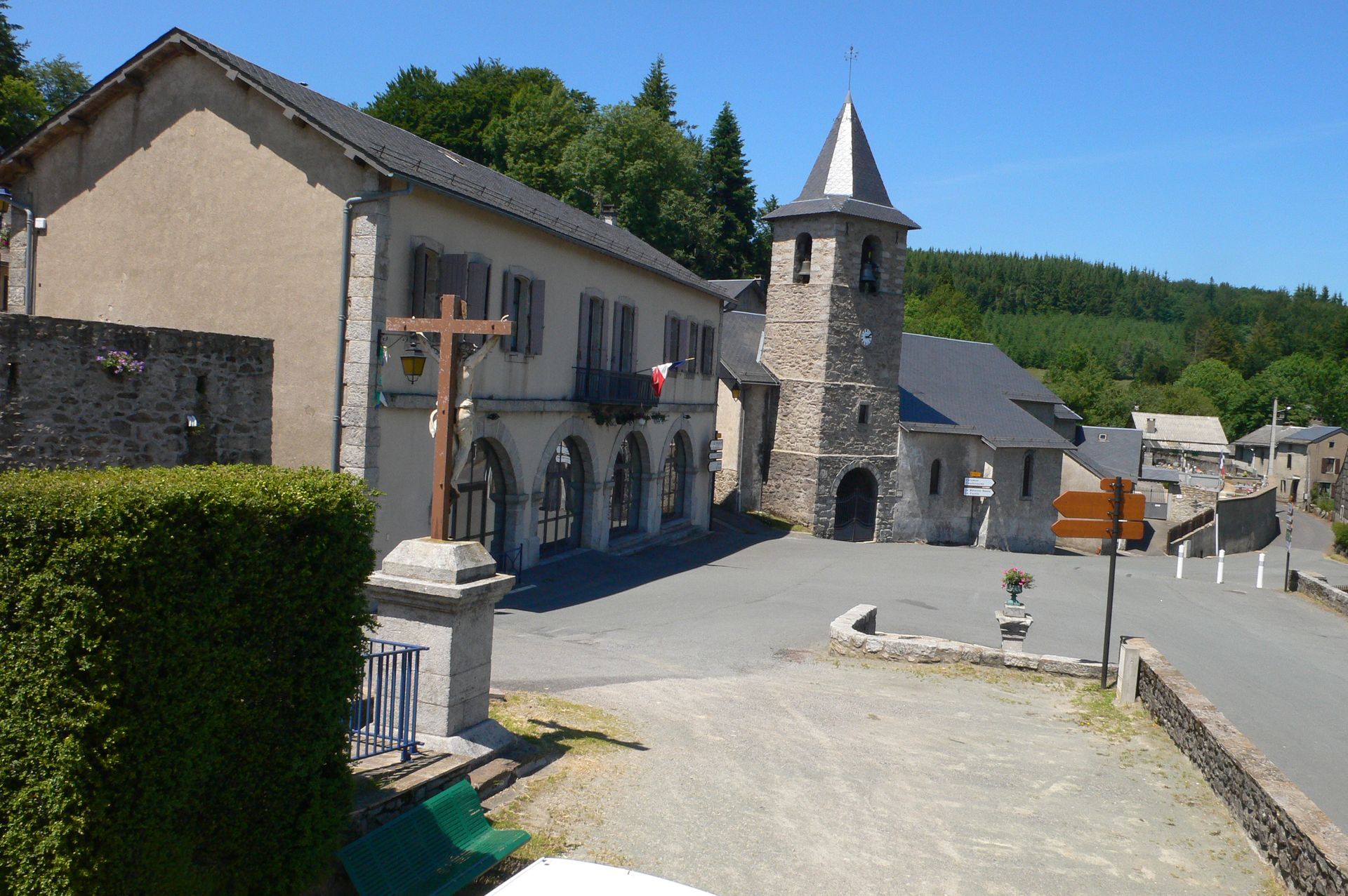
Climb to the top of the village, take a path that enters the forest. Ignore a path to the right and, 100 m further, leave the track to the left and descend along the edge of the beech forest. Continue until Soulié Bas. Cross the road, continue straight ahead. At the next fork, go right. Join a path and follow it to the left until a cross.
2
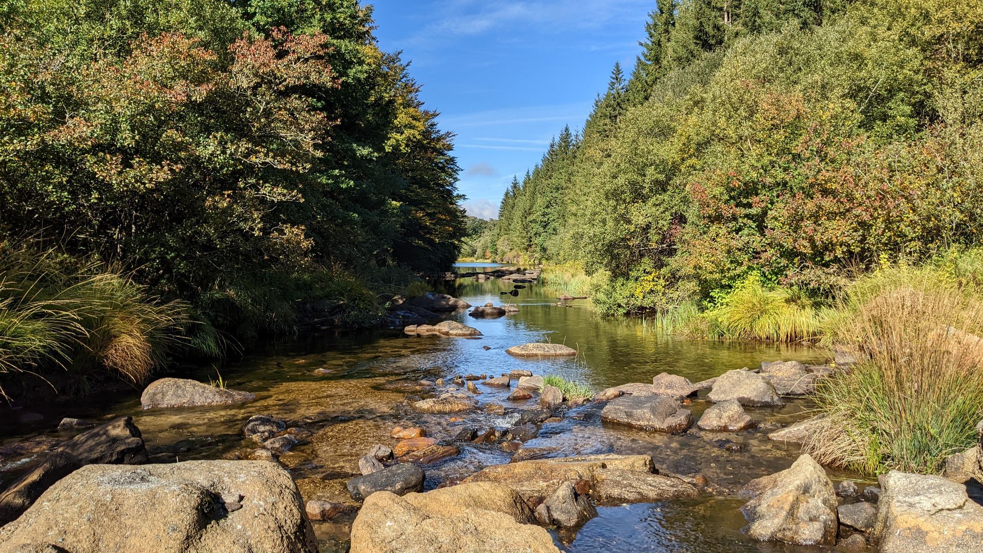
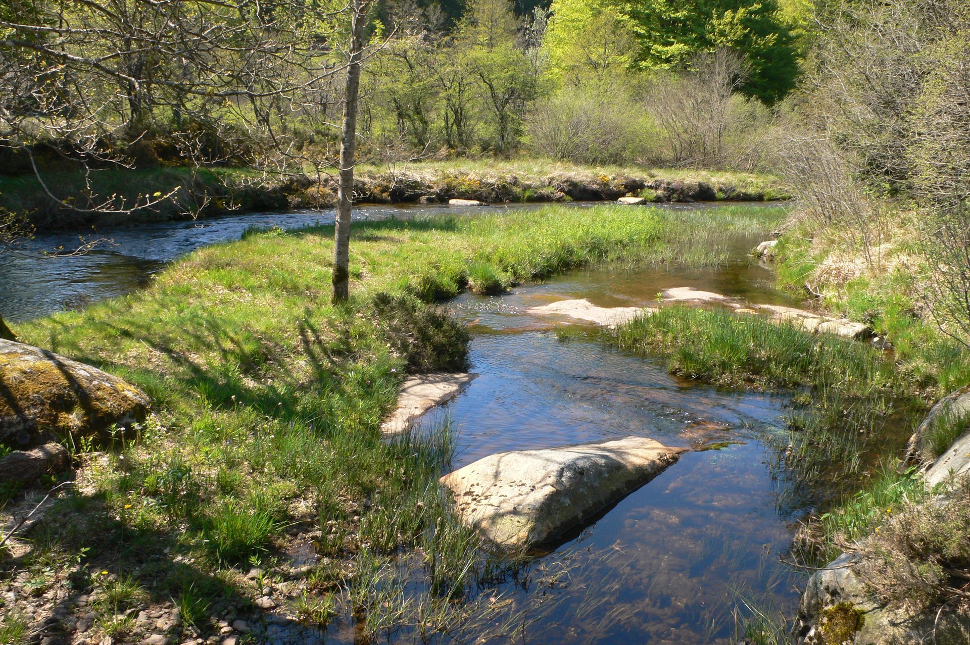
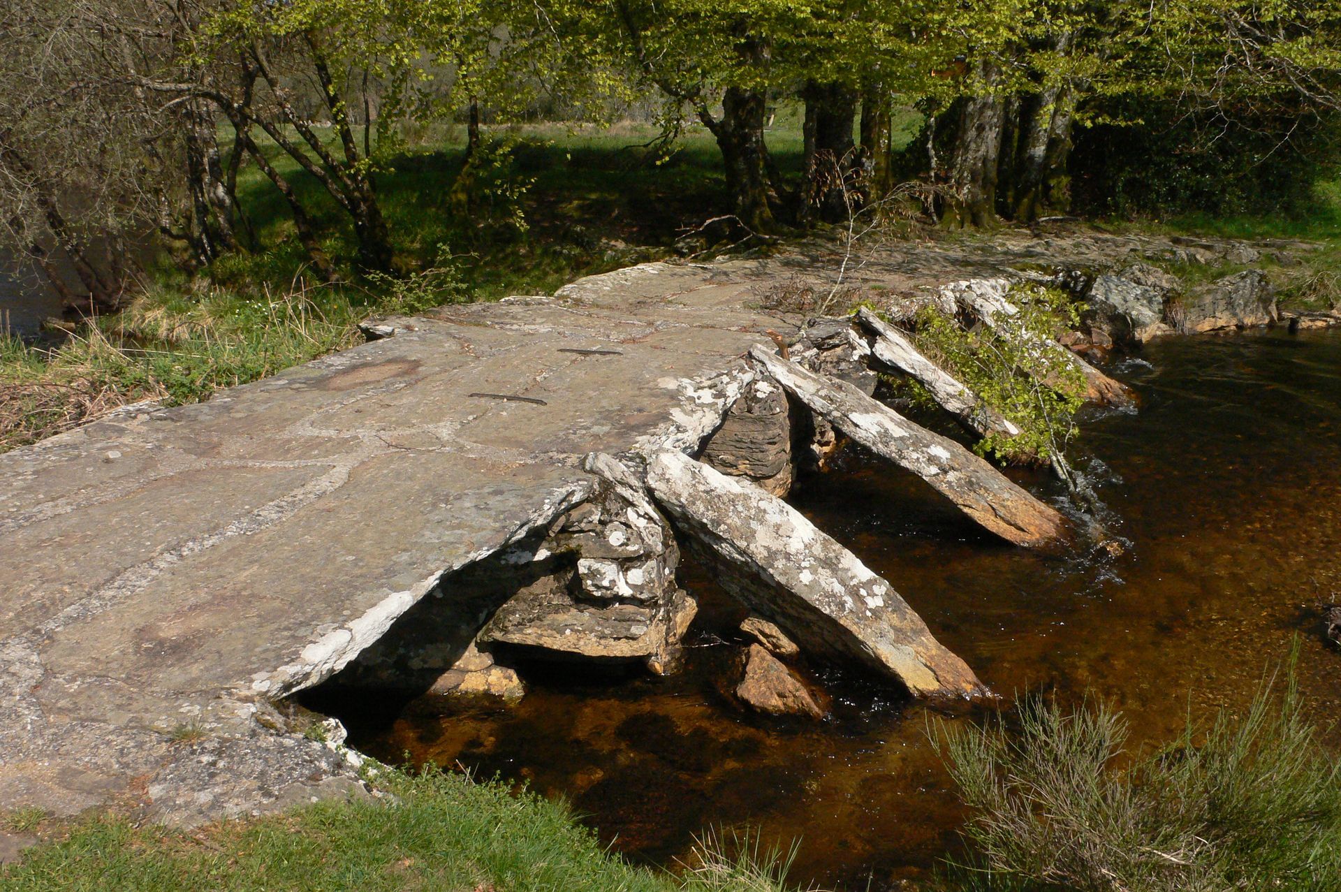
Turn right and, 100 m after, descend to the left. Ignore a trail to the left, pass a fir forest. Cross a grassy area and cross the Arn, then follow the river to the right and climb a path to the left. Ignore a departure to the left to go to a crossroads. Go left, cross the hamlet of Ginestous. At the exit, take the leftmost track to D55E.
3
Cross the road towards Fonclare and, after the houses, continue straight ahead. Go down to the left into the meadow. At the track, go right. After the bend, descend left, cross the river and climb towards Fajole.
4
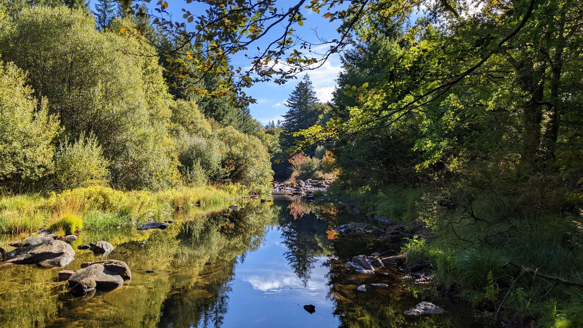
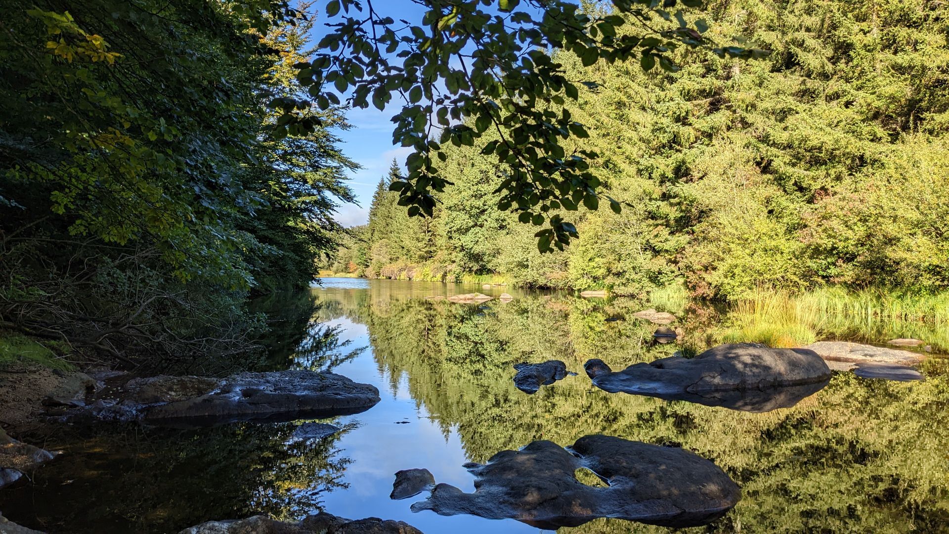
Short variant (12.5 km – 3 h 30): go straight, right on a track; at the road, turn right, then left and by a track rejoin the main circuit. Cross the hamlet, go right on a track. At the crossroads, turn right, pass in front of Blanque farm and cross the Arn. Stay on the road until Moulinet.
5
Descend left along a tree-lined path, cross the Arn and climb to a fork. Go left, reach a path. Go left for a few meters, then right and reach D150E3. Take the Camiffarrat road, cross the hamlet and continue towards Caudezaures.
6
After the first house, climb to the right. On the track, go right. At the fork, stay right and reach a track. Go left until a wide crossroads. Take the track on the right, then immediately left ignoring a firebreak on the right. After 1 km, arrive at a crossroads.
7
Continue straight ahead. At the road, immediately take left on a path to a track. Go right, join D150E3. Head right towards Soulié.
Jaune PR
+33 5 32 11 09 45
FRAISSE-SUR-AGOUT
PR - FFR
Popularne wycieczki w okolicy
-
4,0
LEGENDS TRAIL HIKE
średniWędrówka 11,4 km -
4,0
LAUZE HIKE
średniWędrówka 9,41 km -
TOUR DE LAC DE VESOLES HIKE
światłoWędrówka 6,27 km -
CIT'ART HIKE OF THE HAUTS DE FERRALS
średniWędrówka 15,5 km -
CAR TOURISTIC ROUTE - THE LAKE ROUTE
światłoMotorrad 129,1 km -
The Payrac discovery trail
światłoWędrówka 1,79 km -
Cycle Route - C4 Around the Laouzas lake by bike
światłoDroga rowerowa 19,8 km -
From Laouzas to Montalet
ciężkiWędrówka 15,4 km -
HIKING THE EAGLE'S NEST
światłoWędrówka 5,20 km -
PREVERT TRAIL HIKE
światłoWędrówka 4,95 km
Wędrówki i tropienie


Nie przegap ofert i inspiracji na następne wakacje
Twój adres e-mail została dodana do listy mailingowej.