
SENTIER DES 2 LACS: L'INTÉGRALE DE CEILHES À CLERMONT - GR® DE PAYS ENTRE 2 LACS AVÈNE - SALAGOU
średni
Pobierz tę trasę na swój telefon komórkowy
SENTIER DES 2 LACS: L'INTÉGRALE DE CEILHES À CLERMONT - GR® DE PAYS ENTRE 2 LACS AVÈNE - SALAGOU
średni
Wędrówka
77,53
km
Zeskanuj kod QR i rozpocznij nawigację w aplikacji bergfex.


Wędrówki i tropienie





SENTIER DES 2 LACS: L'INTÉGRALE DE CEILHES À CLERMONT - GR® DE PAYS ENTRE 2 LACS AVÈNE - SALAGOU
średni
Odległość
77,5
km
Czas trwania
21:59
h
Ascent
1 882
hm
Poziom morza
95 -
747
m
Ścieżka do pobrania
SENTIER DES 2 LACS: L'INTÉGRALE DE CEILHES À CLERMONT - GR® DE PAYS ENTRE 2 LACS AVÈNE - SALAGOU
średni
Wędrówka
77,53
km
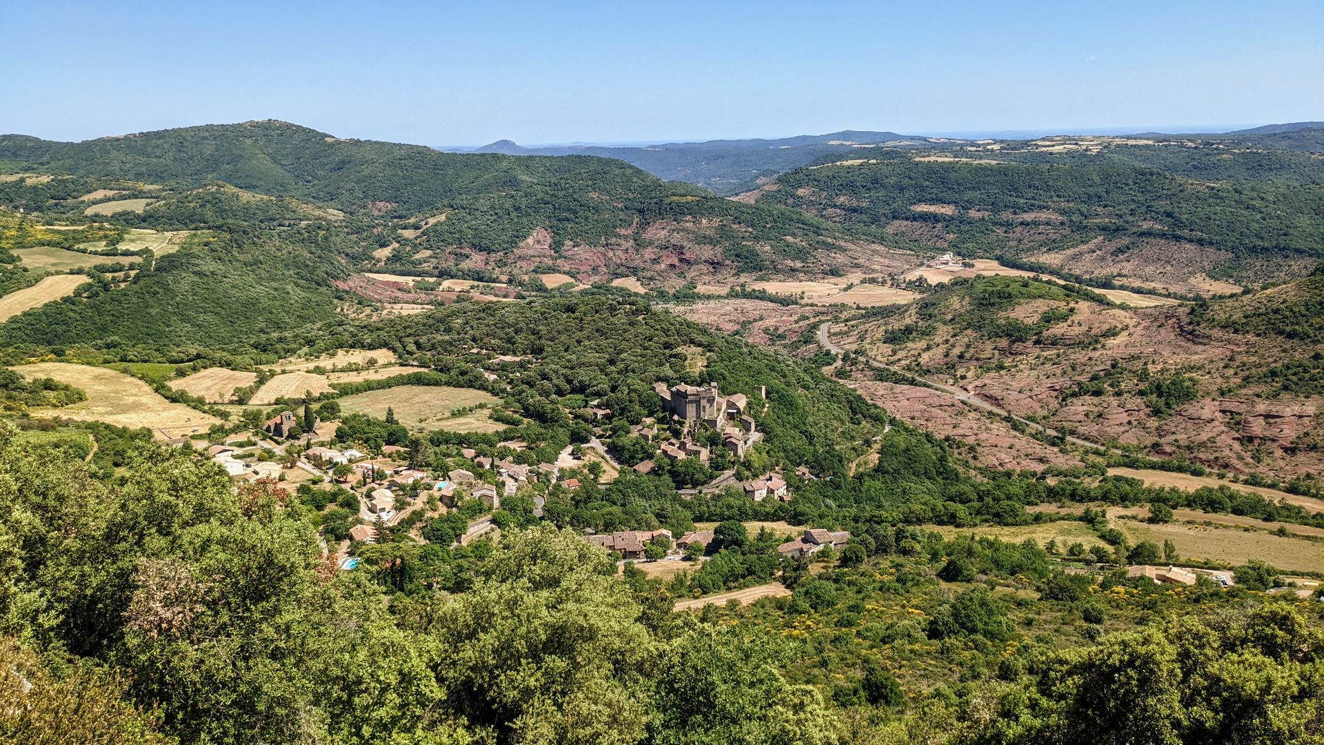
Between the Parc Naturel Régional du Haut-Languedoc and the Grand Site Salagou - Cirque de Mourèze, 5 days of hiking between the most unknown and the most famous lake in the Hérault...And to discover Avène...
Opis
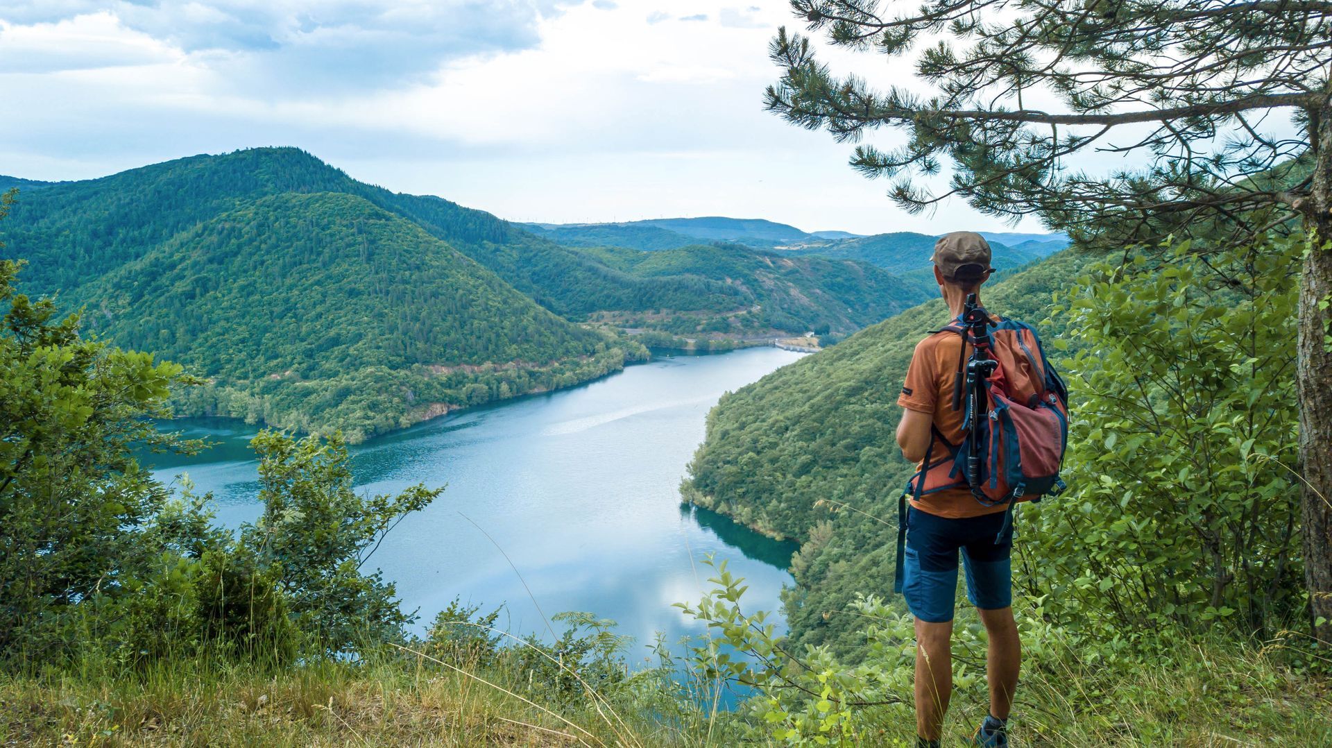
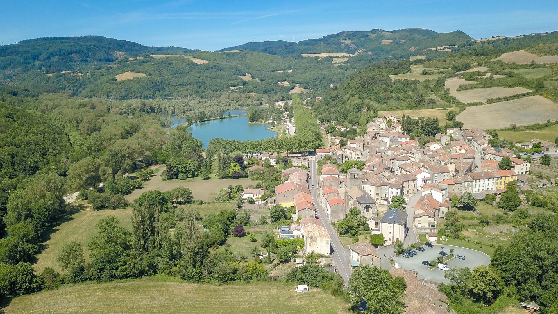
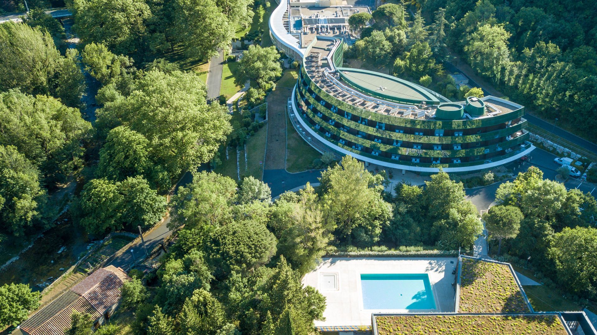
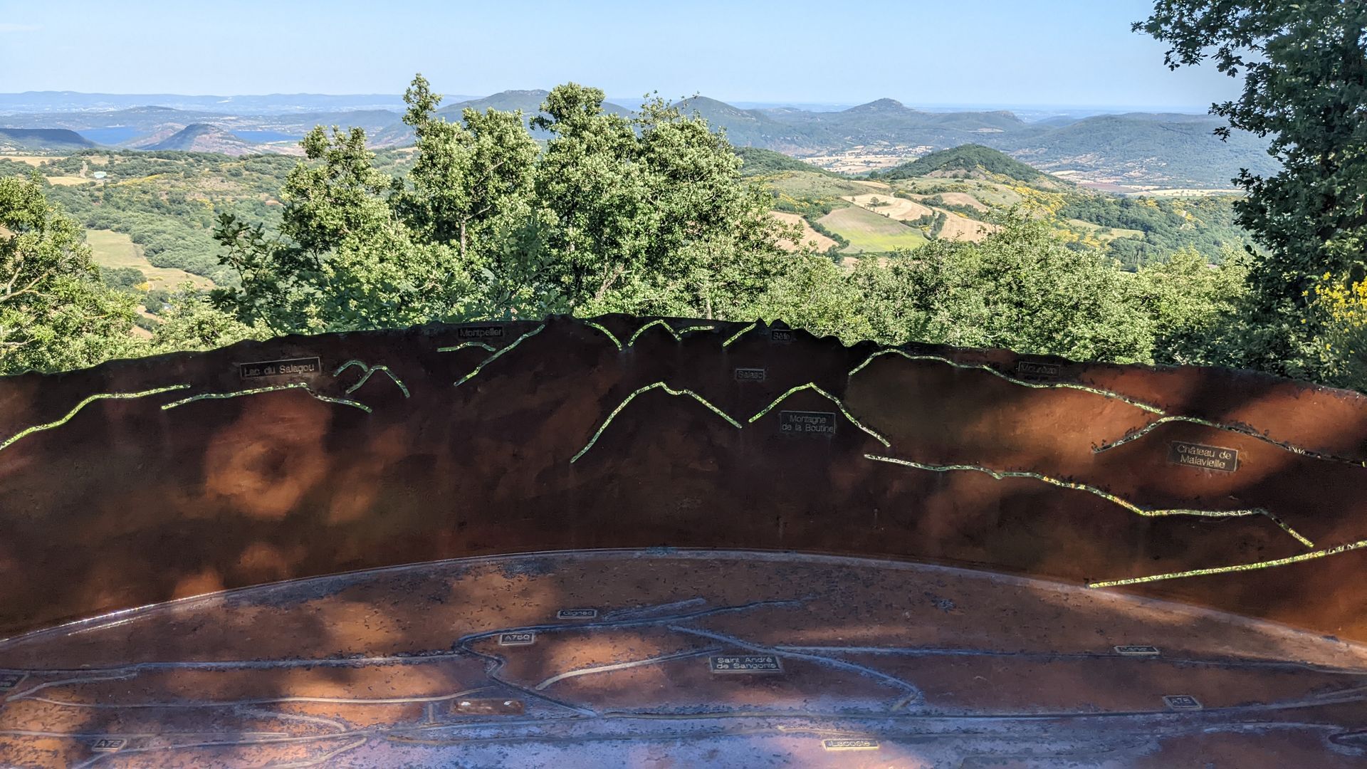
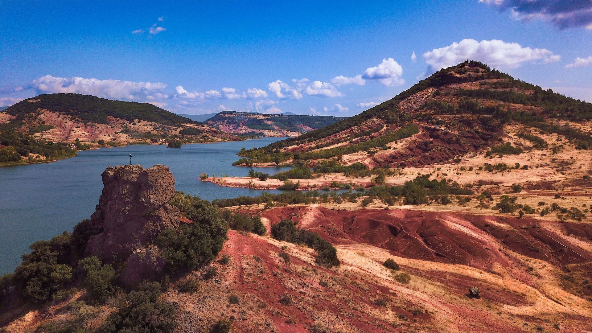
Between the Parc Naturel Régional du Haut-Languedoc and the Grand Site Salagou - Cirque de Mourèze, 5 days of hiking between the most unknown and the most famous lake in the Hérault... And to discover Avène and its thermal baths, the wide-open forests and pastures of the Monts d'Orb, the Orb and Gravezon valleys, the ruffes of the Haute Vallée du Salagou, the shores of Lac du Salagou, and the pretty town of Clermont-l'Hérault. A short, leisurely week's hike in breathtaking scenery!
The Sentier des Deux Lacs 'intégral' is the synthesis of the GR® de Pays Entre Deux Lacs Avène - Salagou: two lake tours over 2 or 3 days, and a Sentier des 2 lacs that can be completed in 3, 4 or 5 days. Wonderful slow-motion journeys through the nature and geology of the Hérault region, in the heart of the Terres d'Hérault Geopark.
The Sentier des Deux Lacs 'intégral' is the synthesis of the GR® de Pays Entre Deux Lacs Avène - Salagou: two lake tours over 2 or 3 days, and a Sentier des 2 lacs that can be completed in 3, 4 or 5 days. Wonderful slow-motion journeys through the nature and geology of the Hérault region, in the heart of the Terres d'Hérault Geopark.
Trasa
Église Saint-Jean-Baptiste de Ceilhes
(438 m)
Miejsce kultu
0,1 km
Église Saint-Martin
(392 m)
Miejsce kultu
15,6 km
Église Saint-Barthélemy-d'Arnoye
(467 m)
Miejsce kultu
23,5 km
Église Saint-Pancrace
(275 m)
Miejsce kultu
37,6 km
Église Saint-André
(446 m)
Miejsce kultu
49,9 km
Église Saint-Étienne
(200 m)
Miejsce kultu
61,3 km
Collégiale Saint-Paul
(105 m)
Miejsce kultu
77,1 km
Trasa
SENTIER DES 2 LACS: L'INTÉGRALE DE CEILHES À CLERMONT - GR® DE PAYS ENTRE 2 LACS AVÈNE - SALAGOU
średni
Wędrówka
77,53
km
Ceilhes-et-Rocozels
(443 m)
Wioska
0,0 km
Église Saint-Jean-Baptiste de Ceilhes
(438 m)
Miejsce kultu
0,1 km
Montredon Haut
(637 m)
Korytarz/teren
2,2 km
Montredon Est
(677 m)
Korytarz/teren
3,0 km
Bosc de Gauffre
(715 m)
Korytarz/teren
3,7 km
Rocque Longue
(518 m)
Korytarz/teren
5,8 km
Brès
(473 m)
Rozliczenie
14,2 km
Église Saint-Martin
(392 m)
Miejsce kultu
15,6 km
Pizz'Avène
(368 m)
Restauracja
15,8 km
Avène
(391 m)
Wioska
15,8 km
L'Avenette Gourmande
(365 m)
Restauracja
16,0 km
Les Bains d'Avène
(361 m)
Rozliczenie
17,1 km
Les Planes
(432 m)
Rozliczenie
21,2 km
Saint-Barthélémy
(468 m)
Rozliczenie
23,4 km
Église Saint-Barthélemy-d'Arnoye
(467 m)
Miejsce kultu
23,5 km
La Dalmerie
(486 m)
Rozliczenie
25,8 km
Joncelets
(393 m)
Rozliczenie
29,4 km
Joncels
(390 m)
Wioska
33,2 km
Abbaye Saint-Pierre-aux-Liens de Joncels
(392 m)
Miejsce kultu
33,2 km
Lunas-les-Châteaux
(273 m)
Wioska
37,6 km
Église Saint-Pancrace
(275 m)
Miejsce kultu
37,6 km
Auberge Gourmande
(276 m)
Restauracja
37,6 km
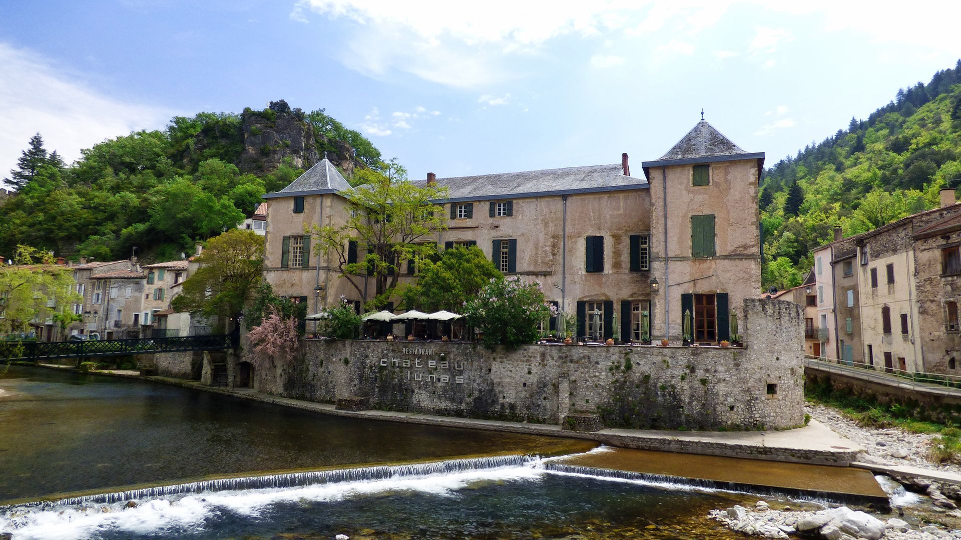
Château de Lunas
(277 m)
Restauracja
37,8 km
Dio
(411 m)
Rozliczenie
46,4 km
Église Saint-Étienne
(427 m)
Miejsce kultu
46,7 km
Valquières
(448 m)
Wioska
49,9 km
Église Saint-André
(446 m)
Miejsce kultu
49,9 km
Vernazoubres
(485 m)
Rozliczenie
51,6 km
Brenas
(444 m)
Wioska
54,1 km
Le Mas Bas
(395 m)
Rozliczenie
54,6 km
Café de la Place
(192 m)
Restauracja
61,2 km
Octon
(195 m)
Wioska
61,3 km
Église Saint-Étienne
(200 m)
Miejsce kultu
61,3 km
Mas de Clergues
(164 m)
Rozliczenie
62,3 km
Hameau des Bories
(193 m)
Rozliczenie
73,8 km
Puech Castel
(190 m)
Korytarz/teren
75,9 km
Ancienne chapelle de Notre-Dame de Gorjan
(128 m)
Miejsce kultu
76,6 km
Clermont-l'Hérault
(104 m)
Wioska
77,0 km
Collégiale Saint-Paul
(105 m)
Miejsce kultu
77,1 km
Jeux pour Enfants
(97 m)
Plac zabaw
77,3 km
Autor
Dostarczone przez Hérault Tourismus

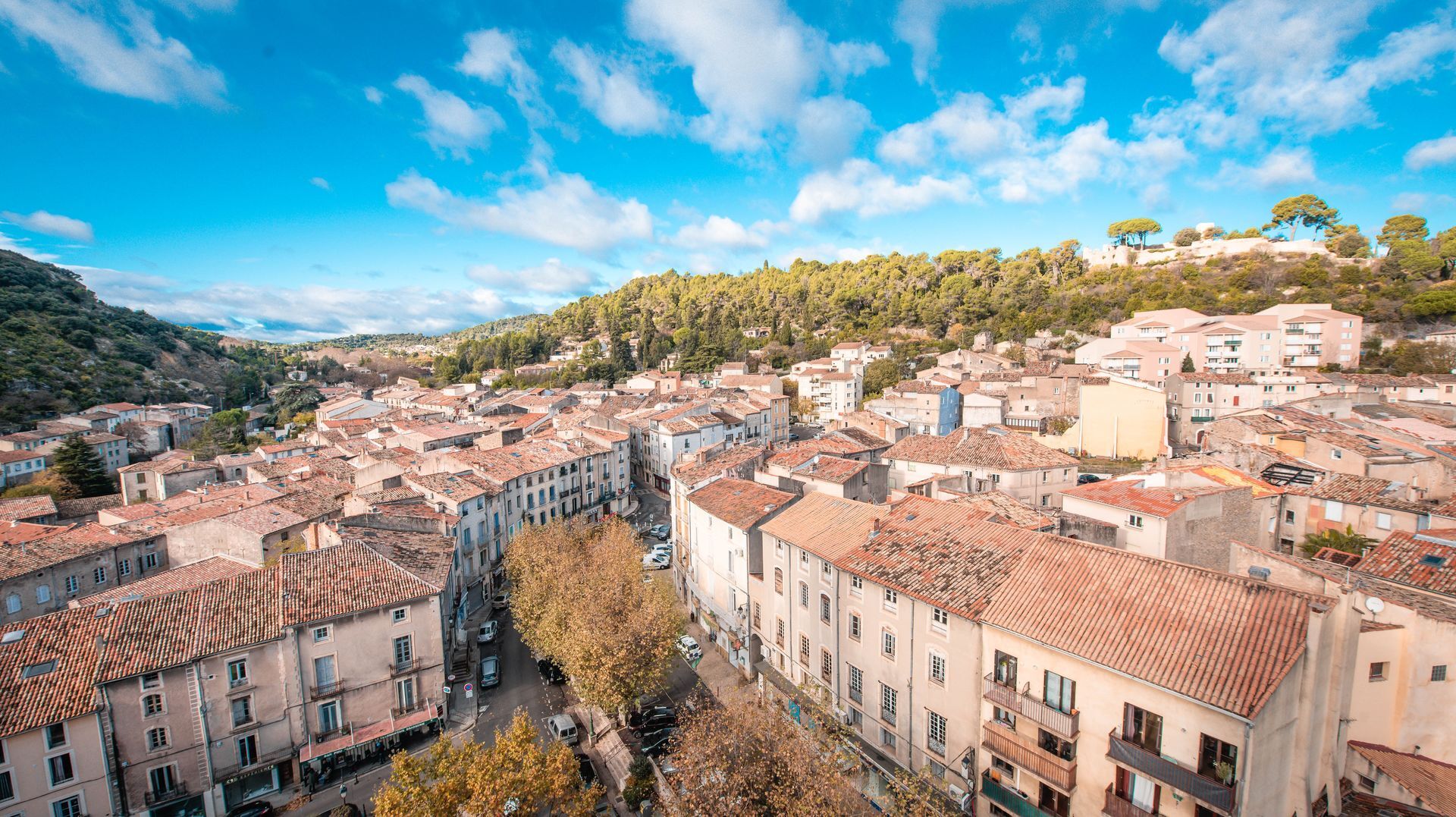

Instrukcje bezpieczeństwa
Fire watch - summer 2024:
A prefectoral decree regulates access to Hérault forest areas from June 15 to September 15.
in case of Orange vigilance, access to wooded areas is not recommended, in case of Red vigilance, access is strongly discouraged, and forbidden in certain areas such as the forest of Saint-Guilhem le Désert, the Cirqsue de Mourèze and Mont Liausson, the Gardiole, the Pic Saint-Loup, the Caroux, the plateau d'Aumelas, etc.Before your walk, consult the daily fire watch map
In case of emergency, call 112.
Dodatkowe informacje i wskazówki
Dodatkowe informacje
Our suggested "coup de coeur" stages: - Day 1: Ceilhes - Avène (17km) - Day 2: Avène - Joncels (18km) - Day 3: Joncels - Dio (14 km) - Day 4: Dio / Octon (15.5 km) - Day 5: Octon / Clermont l'Hérault (16.5 km)
Another suggestion, with a stopover in Mourèze: - Day 1: Ceilhes - Avène - Day 2: Avène - Joncels - Day 3: Joncels - Dio - Day 4: Dio / Octon - Day 5: Octon / Mourèze (via PR from the banks of Liausson) - 6th day: Mourèze / Clermont l'Hérault (back to the banks of Liausson via PR)
GR® and GR® de Pays are registered trademarks of the FFRandonnée, designating routes identified as "GR®", marked with white-red markings; and as "GR® de Pays", marked with yellow-red markings. These routes are the creations of FFRandonnée. Their unauthorized reproduction, as well as the GR® and GR® de Pays trademarks, constitutes an infringement liable to prosecution. Find all GR® routes on mongr.fr
Another suggestion, with a stopover in Mourèze: - Day 1: Ceilhes - Avène - Day 2: Avène - Joncels - Day 3: Joncels - Dio - Day 4: Dio / Octon - Day 5: Octon / Mourèze (via PR from the banks of Liausson) - 6th day: Mourèze / Clermont l'Hérault (back to the banks of Liausson via PR)
GR® and GR® de Pays are registered trademarks of the FFRandonnée, designating routes identified as "GR®", marked with white-red markings; and as "GR® de Pays", marked with yellow-red markings. These routes are the creations of FFRandonnée. Their unauthorized reproduction, as well as the GR® and GR® de Pays trademarks, constitutes an infringement liable to prosecution. Find all GR® routes on mongr.fr
Wskazówki
White and red GR
Yellow and red GR
https://bit.ly/vigilance-incendies-34
Daily fire vigilance map - summer 2024
GRP - FFR
Nie ma jeszcze recenzji
Popularne wycieczki w okolicy
-
5,0
HIKING OF THE L'ESPAZE ARBORETUM
średniWędrówka 12,3 km -
5,0
CIRCUIT N°1 LE LAC DU SALAGOU - ESPACE VTT-FFC DU SALAGOU
średniMountainbike 26,9 km -
5,0
HIKING THE RED ROCK
średniWędrówka 7,01 km -
5,0
OENORANDO® THE VALLEY OF AROMAS
średniWędrówka 13,7 km -
4,0
HIKE OF THE GRÉZAC PLATEAU
średniWędrówka 14,0 km -
HIKING THE MONTs D’ORB LAKE TOUR - GR® DE PAYS BETWEEN 2 LAKES AVÈNE – SALAGOU
średniWędrówka 33,6 km -
LAVAL DE NIZE HIKE
światłoWędrówka 6,07 km -
HIKING OF THE ROQUANDOUIRE GATEWAY
średniWędrówka 10,5 km -
TRAIL OF THE TOUR OF LAKE SALAGOU (SHORES OF CLERMONT) - GR® OF THE REGION BETWEEN 2 LAKES Avène – Salagou
średniTrailrunning 25,6 km -
BEALS TRAIL HIKE
średniWędrówka 4,51 km

Wędrówki i tropienie

Ponad 550.000 propozycji wycieczek, szczegółowe mapy i intuicyjny planer tras sprawiają, że aplikacja jest niezbędna dla wszystkich entuzjastów przyrody.

Nie przegap ofert i inspiracji na następne wakacje
Zapisz się do newslettera
Błąd
Wystąpił błąd. Spróbuj ponownie.
Dziękujemy za rejestrację
Twój adres e-mail została dodana do listy mailingowej.
Wycieczki po całej Europie
Austria
Szwajcaria
Niemcy
Włochy
Słowenię
Francja
Holandia
Belgia
Polska
Liechtenstein
Czechy
Słowacja
Hiszpania
Chorwacja
Bośnia i Hercegowina
Luksemburg
Andorra
Portugalia
Islandia
Wielka Brytania
Irlandia
Grecja
Albania
Macedonia Północna
Malta
Norwegia
Czarnogóra
Mołdawia
Kosowo
Węgry
San Marino
Rumunia
Estonia
Łotwa
Białoruś
Cypr
Litwa
Serbia
Bułgaria
Monako
Dania
Szwecja
Finlandia





