


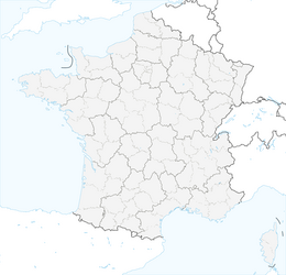


RANDONNEE DU DEVOIS

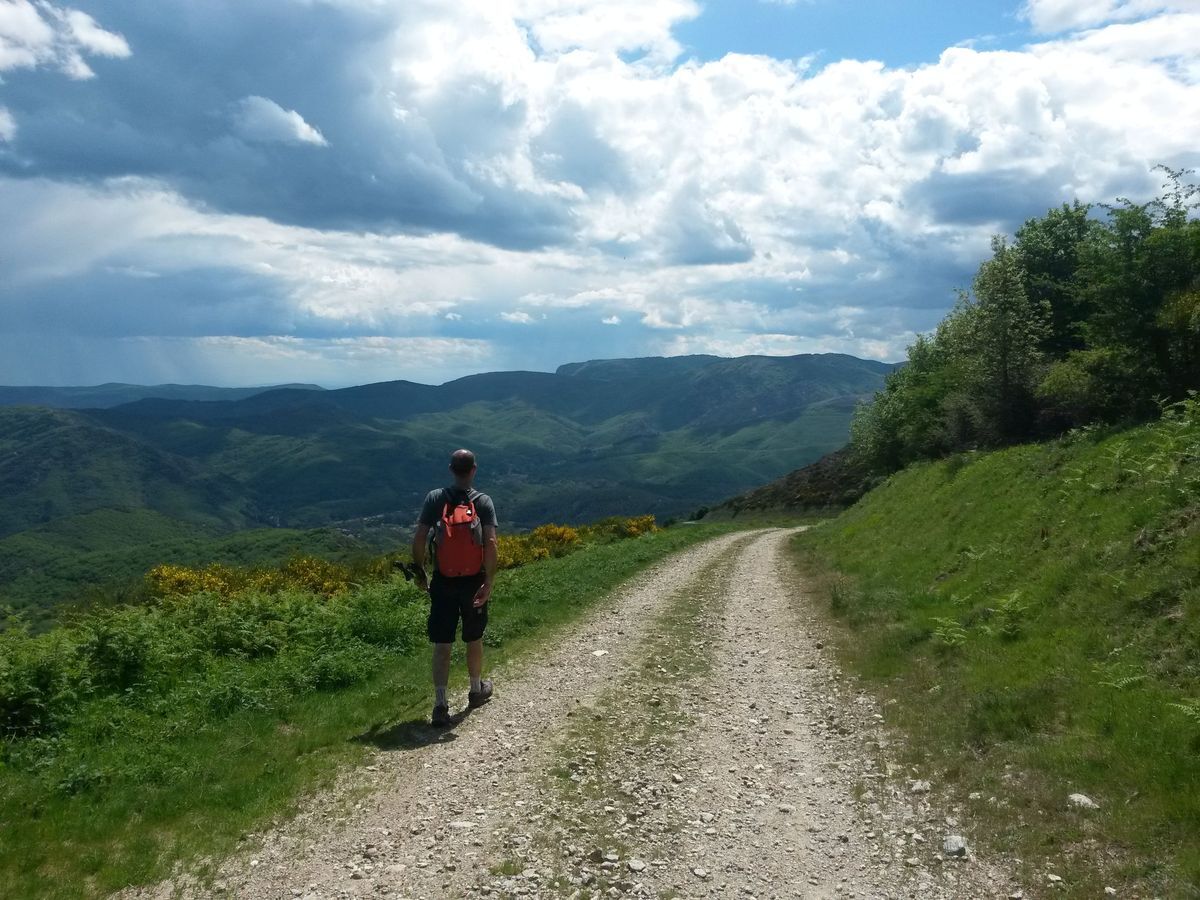
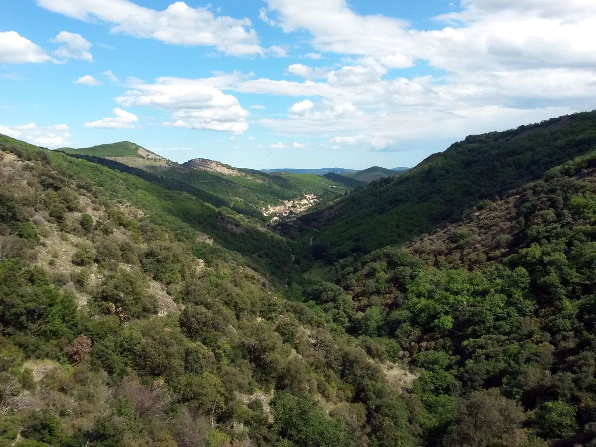
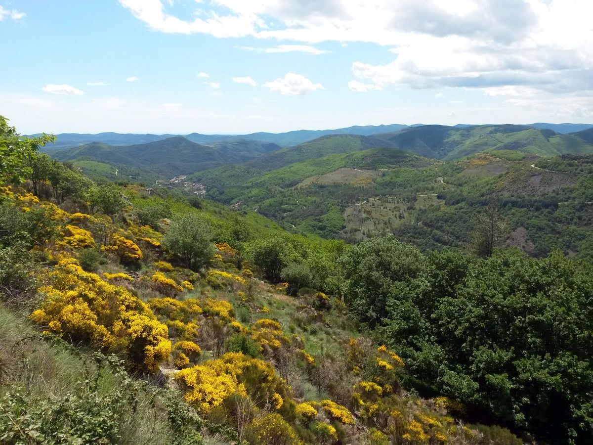
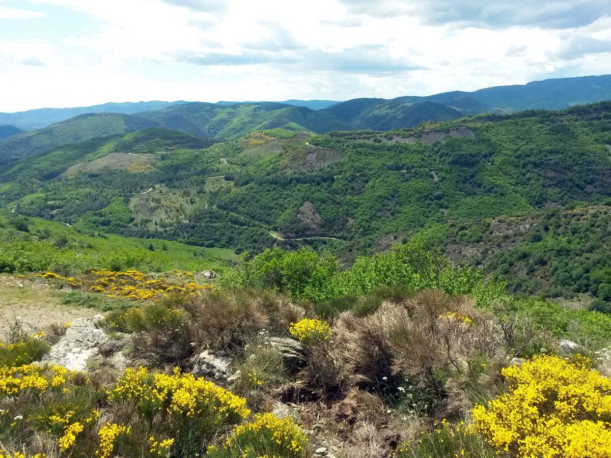
This sporty hike climbs mountains and ridges up to the viewpoint of Mont Cabanes which overlooks the former mining town of Graissessac.


1
Short variant of the circuit (2 h, 6 km): 50 m after the maison des Cazalets, leave the forest track and descend by the path on the left into the Provères valley before rejoining the main circuit at point 8 (yellow markings). 2. 20 m before the maison des Cazalets, go right into the cedar grove, then take the forest track to the right for 450 m.
2
At the bend that crosses the ridge, leave the track and climb left. Follow the ridge line, the edge of a conifer plantation and find on the left the path that crosses it. Pass below the summit of the Capuce and Mont Redon then on the south-facing slope of Mont des Trois-Terres and reach a pass.
3
Take the path on the left and climb to the summit of Mont Agut. Descend along the forest edge to Col Bas. Climb Mont Paréviol and descend the slope to join a hairpin of a track.
4
Access to the orientation table of Mont Cabanes: climb right on the track for 500 m to the summit (yellow triangle markings). 5. Follow the track to the left, then descend on the left by the road to the penultimate hairpin.
5
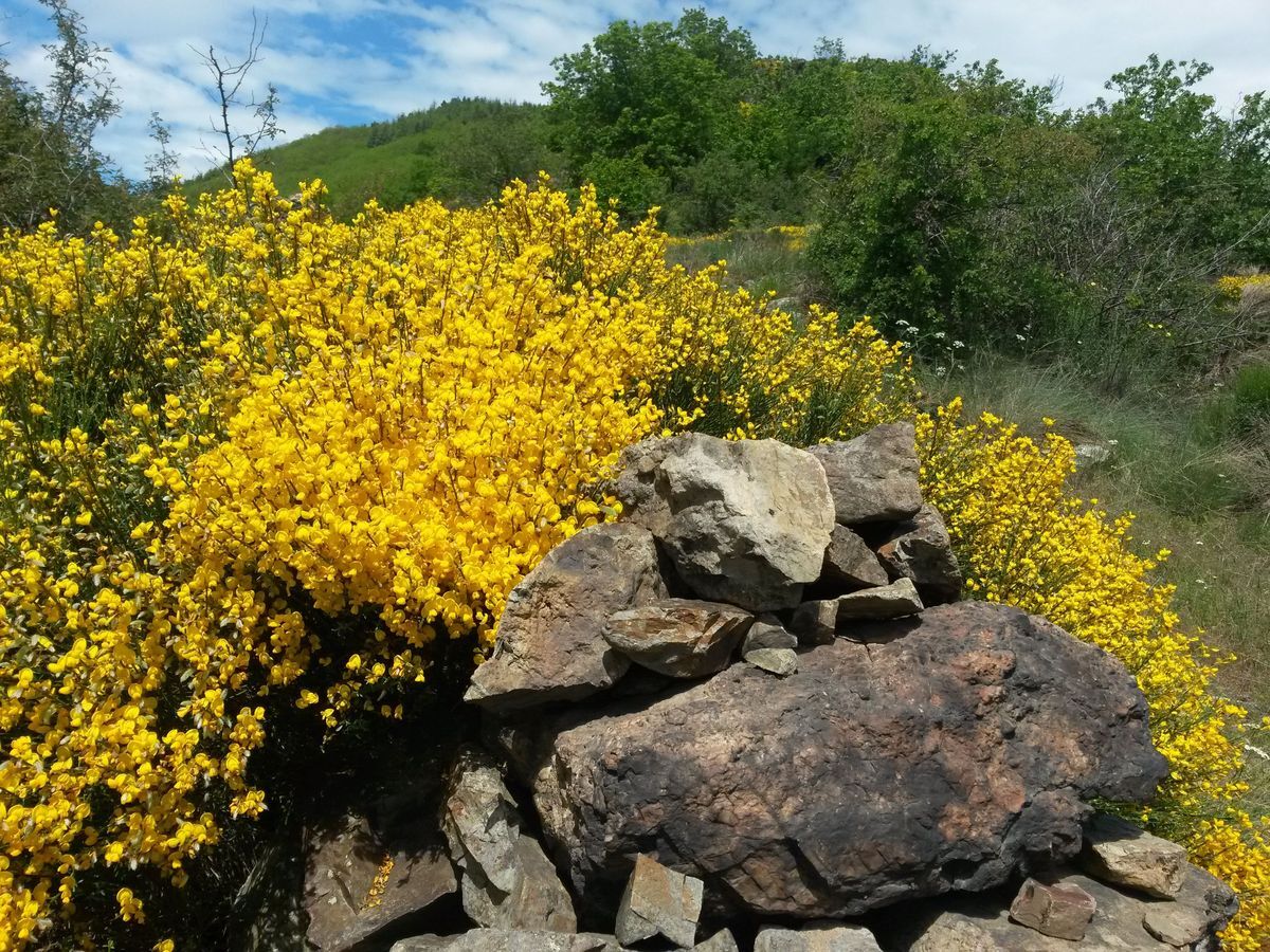
Cut across the moorland and reach the Col des Cabanes. Continue on the road for 100 m.
6
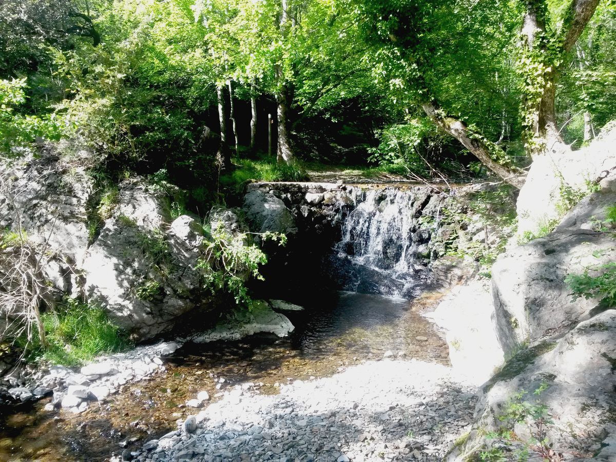
Take the path on the left for 25 m, then on the right the path that descends the steep slope. Cross the Bouissescure stream and continue on the arranged path (handrail) on the left bank. Go around a rocky ridge overlooking waterfalls. Descend, follow the stream, reach the shepherd huts and use the footbridge.
7
Descend by the track on the right along the stream. Pass Les Bézales, Provères, then return to Graissessac.
Yellow PR
+33 4 67 95 08 79
BIT Bédarieux
Géorando
Popularne wycieczki w okolicy
-
4,0
GORGES DE COLOMBIERES HIKE
średniWędrówka 12,0 km -
5,0
HIKING OF THE HÉRIC GORGES VIA THE ORIENTATION TABLE
średniWędrówka 16,3 km -
4,0
CAROUX SUMMIT HIKE
średniWędrówka 7,94 km -
5,0
HIKING OF THE L'ESPAZE ARBORETUM
średniWędrówka 12,3 km -
5,0
HIKING THE RED ROCK
średniWędrówka 7,01 km -
3,0
CYCLE LOOP No. 29 - FROM THE VALLEYS TO THE PEAKS OF HAUT-LANGUEDOC
średniJazda na rowerze 64,3 km -
5,0
OENORANDO® THE VALLEY OF AROMAS
średniWędrówka 13,7 km -
HERIC GORGES ROAD - MONS LA TRIVALLE
średniWędrówka 9,38 km -
HIKING THE MONTs D’ORB LAKE TOUR - GR® DE PAYS BETWEEN 2 LAKES AVÈNE – SALAGOU
średniWędrówka 33,6 km -
LAVAL DE NIZE HIKE
światłoWędrówka 6,07 km
Wędrówki i tropienie


Nie przegap ofert i inspiracji na następne wakacje
Twój adres e-mail została dodana do listy mailingowej.


