






MTB route no.21 Laussière
From Vaour, you will climb to the high point of La Plane (529 m) and then descend to the charming village of Roussayrolles, which features the 13th-century church of "Notre Dame," home since 1952 to frescoes...
From Vaour, you will climb to the high point of La Plane (529 m) and then descend to the charming village of Roussayrolles, which features the 13th-century church of "Notre Dame," home since 1952 to frescoes by Nicolaï Greschny, a renowned master of iconography. From there, you’ll enjoy a beautiful panorama of the Bonnan Valley. Next, you will cross the Laussière Valley with its picturesque small stream before climbing back to the Dolmen de Vaour through a cedar plantation.

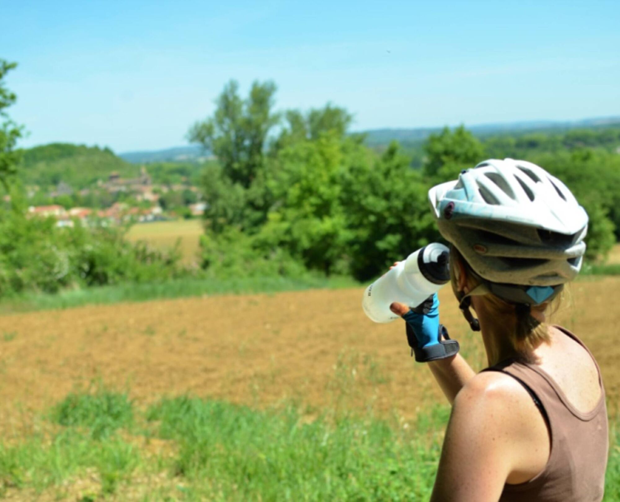

From there, stay on the heights as you head towards the Pas de la Clède, then descend into the Laussière Valley via the GR de Pays Cordes-Penne.
After crossing the stream, you climb up a forest track through a cedar plantation. Once on flat terrain, follow the gravel path to the dolmen. Finally, return to Vaour via the chemin de La Peyre, passing through the place known as La Métairie Blanche, and complete the route by road.
Intermediate
Popularne wycieczki w okolicy
-
5,0
Chemin de la Vère au Saint-Hussou
średniWędrówka 14,2 km -
Maraval Trail - Short Variant
średniWędrówka 5,02 km -
Sentier des dunes de Maraval aux Touardes
średniWędrówka 8,57 km -
Grain of salt path (Chemin du grain de sel)
średniWędrówka 10,6 km -
The Suquets of Penne
światłoWędrówka 10,3 km -
Maraval trail - dune section
światłoWędrówka 1,72 km -
From the Cérou to the Aveyron
średniWędrówka 10,2 km -
Sentier de découverte de Les Cabannes "Sur les traces des bâtisseurs"
światłoWędrówka 2,63 km -
Sentier de Mespel
średniWędrówka 5,73 km -
Téroundel path (Sentier du Téroundel)
światłoWędrówka 2,58 km
Wędrówki i tropienie


Nie przegap ofert i inspiracji na następne wakacje
Twój adres e-mail została dodana do listy mailingowej.





