







Sentier de Mespel
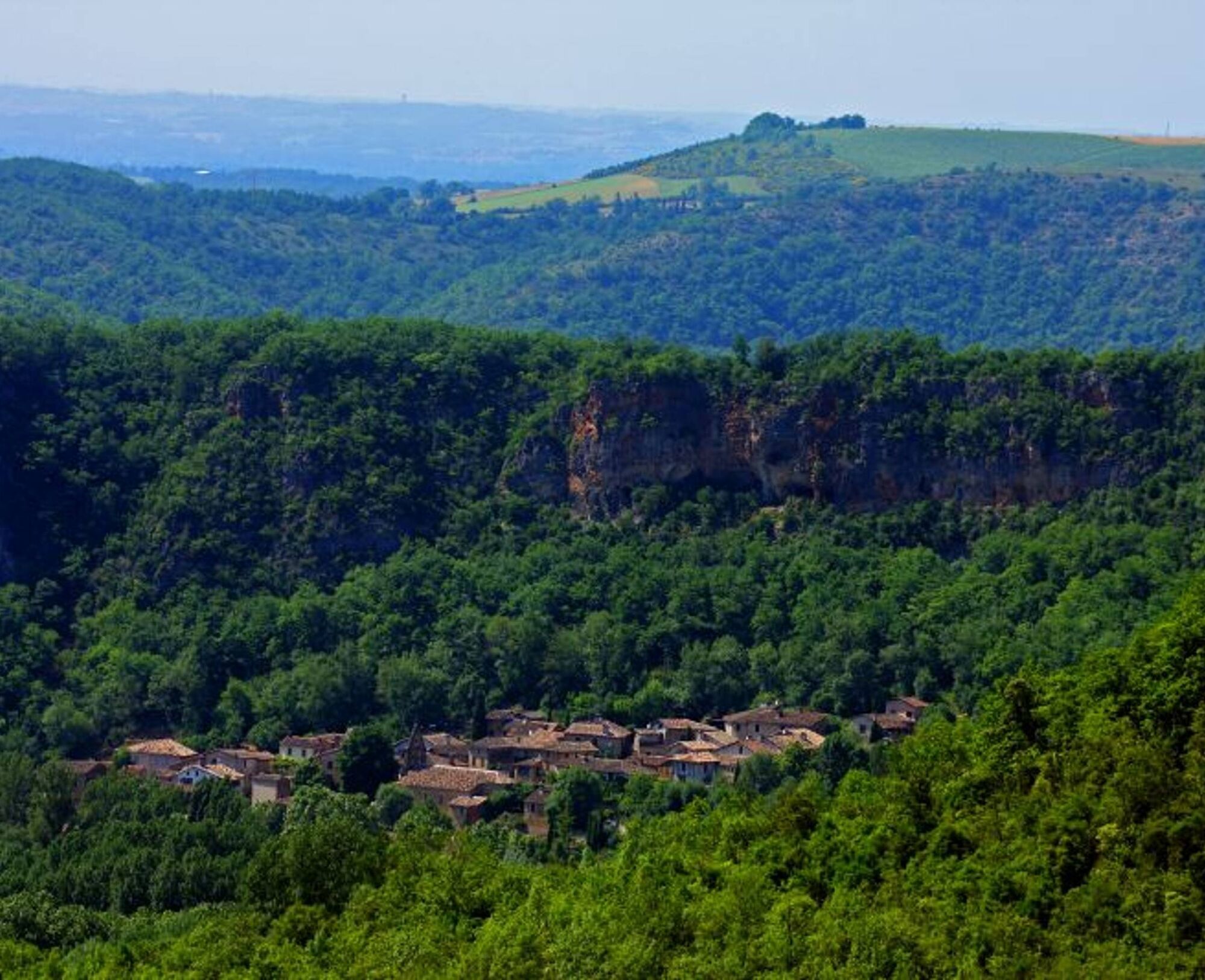
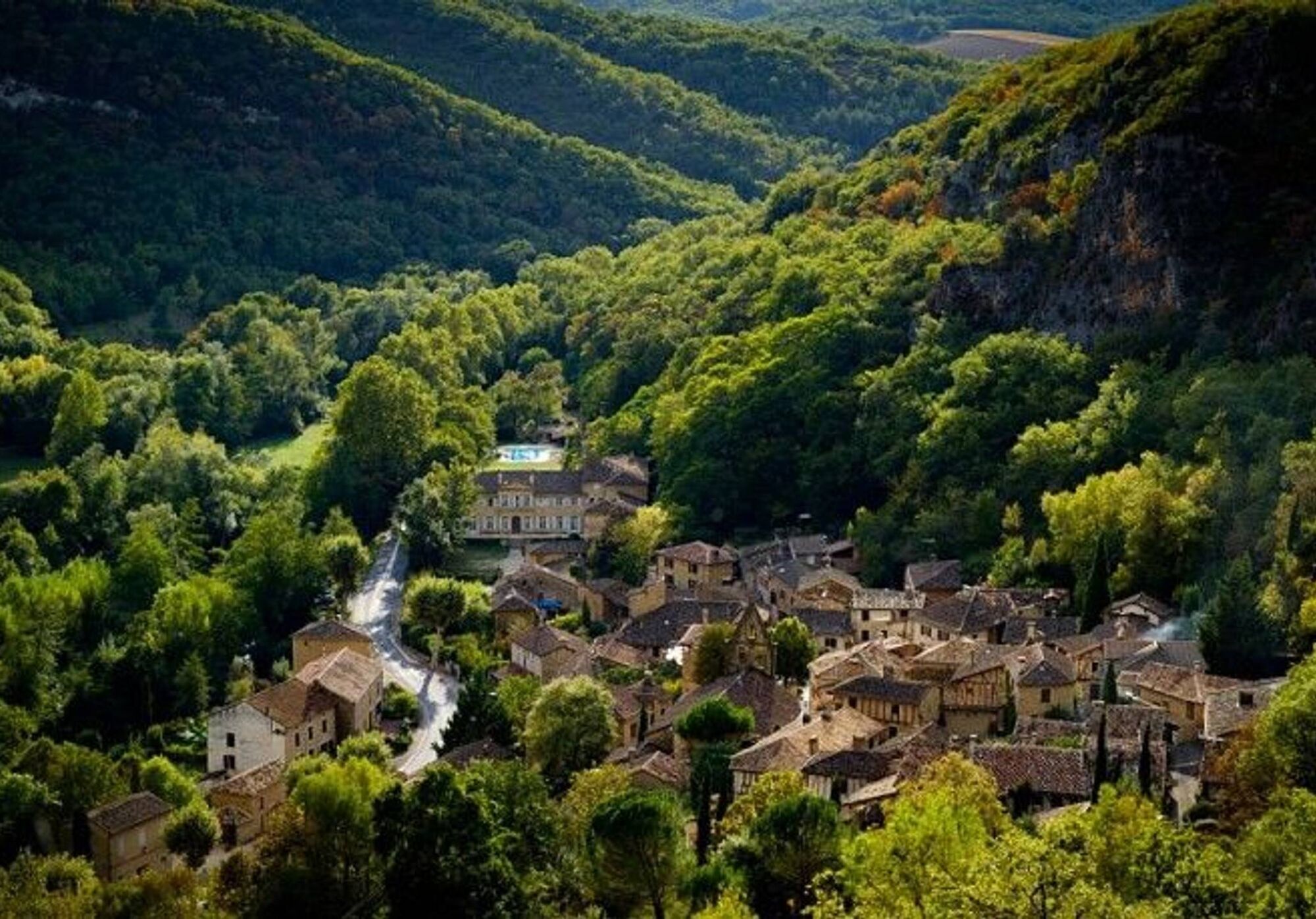
In a green setting, on the riverbank, at the foot of its pink limestone cliff, dotted with natural caves, Larroque offers a shaded and picturesque stop. The hiker follows the path that the ancient Puycelsians...
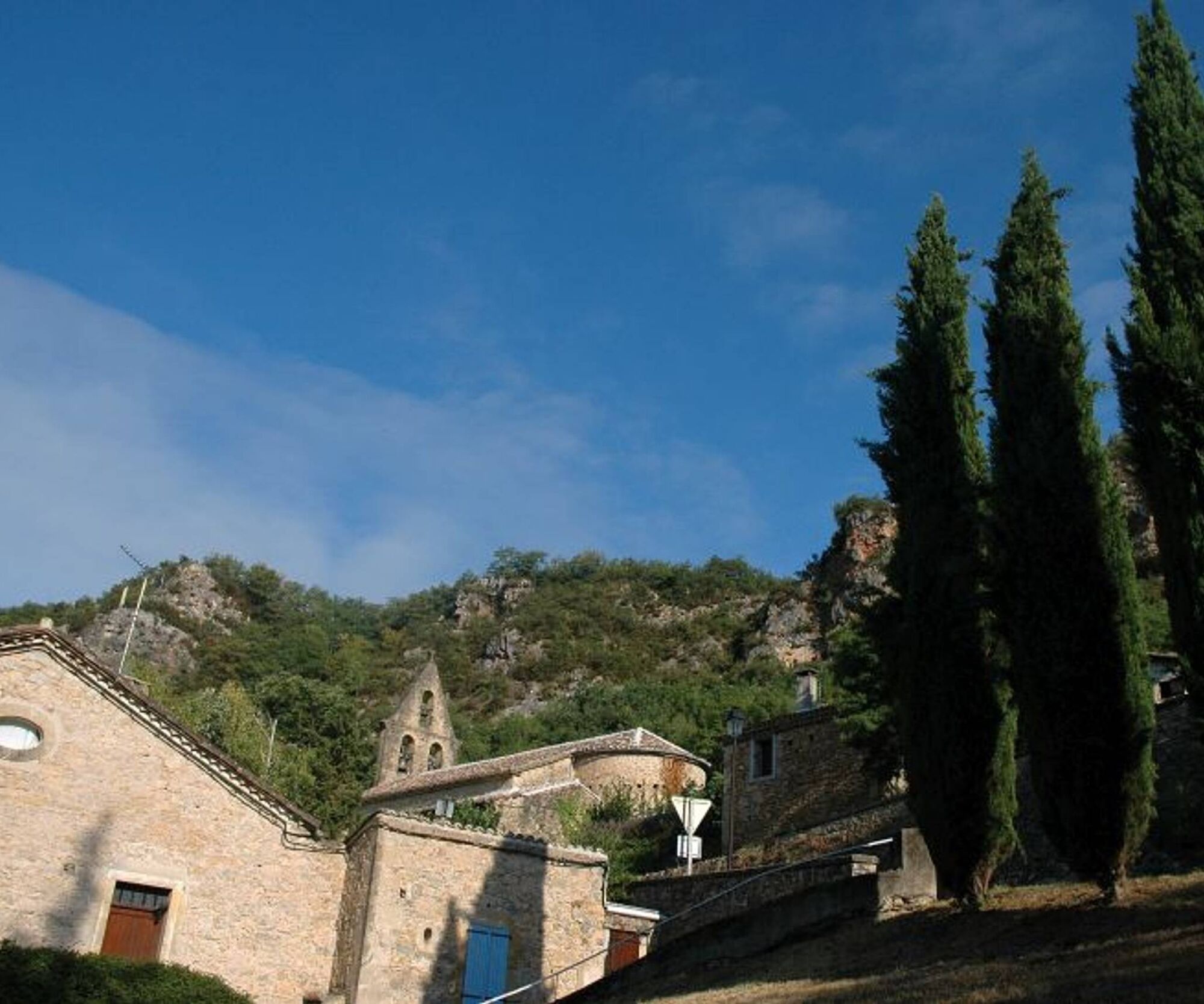
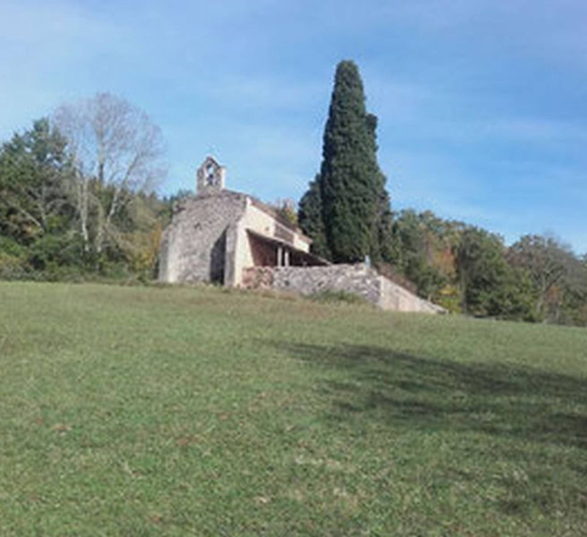
There are viewpoints over the Grésigne state forest and the 13th-century Notre-Dame des Bois chapel (a 20-minute round trip from Mespel). Legend has it that twice the materials intended for its construction in the hamlet were found at the current construction site.


1. Facing the Larroque town hall, climb the stairs, then turn left and immediately right onto the road. Walk for 250 meters.
2. At the intersection, continue straight on the gravel path. At the fork, continue straight on the path that passes through the undergrowth.
3. At the crossroads (archaeological site on the right), climb to the left and continue straight under the trees. Upon reaching the open plateau dotted with oak groves and dry grasslands, continue straight up.
4. Take the path to the left (white-red markings of GR® 46) and head towards Mespel. After 500 meters, you will reach the Notre-Dame des Bois Chapel (20-minute round trip). In the hamlet, cross the road and continue straight along the path that runs alongside the houses.
5. At the crossroads, leave GR® 46 on the right (white and red markings) and take the path to the left (yellow markings).
6. At the fork, turn right onto the winding path, cross the road, and go straight down to reach a viewpoint.
7. After the viewpoint, descend the path (dangerous descent in wet weather) and then turn right to return to Larroque
Intermediate
Popularne wycieczki w okolicy
-
5,0
Chemin de la Vère au Saint-Hussou
średniWędrówka 14,2 km -
Sentier des dunes de Maraval aux Touardes
średniWędrówka 8,57 km -
The Suquets of Penne
światłoWędrówka 10,3 km -
Mountain Biking Trail: Grande Boucle Bastides and Vineyards of Gaillac
ciężkiMountainbike 144,4 km -
Tour du Tarn on horseback: Lisle-sur-Tarn / Puycelsi
ciężkiJazda konna 28,4 km -
Oenorando® Vignes & clochers
światłoWędrówka 8,16 km -
Tarn Horse Route: Puycelsi / Bruniquel
średniJazda konna 11,9 km -
Tour du Tarn à cheval : Bruniquel / Roussayrolles
ciężkiJazda konna 28,9 km -
Mountain Bike Route 8: Grand Tour of Grésigne
ciężkiMountainbike 52,6 km -
Mountain Biking Trail 12: Chemin de la Vère to Saint-Hussou
światłoMountainbike 12,4 km

Wędrówki i tropienie


Nie przegap ofert i inspiracji na następne wakacje
Twój adres e-mail została dodana do listy mailingowej.





