







To Heiligenstein in the cold season
Poziom trudności: 3
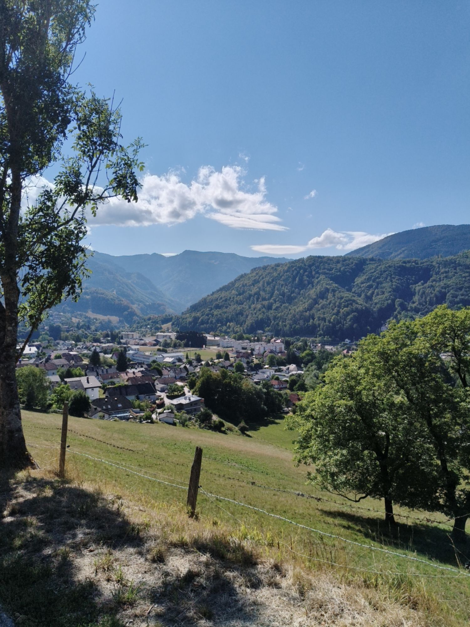
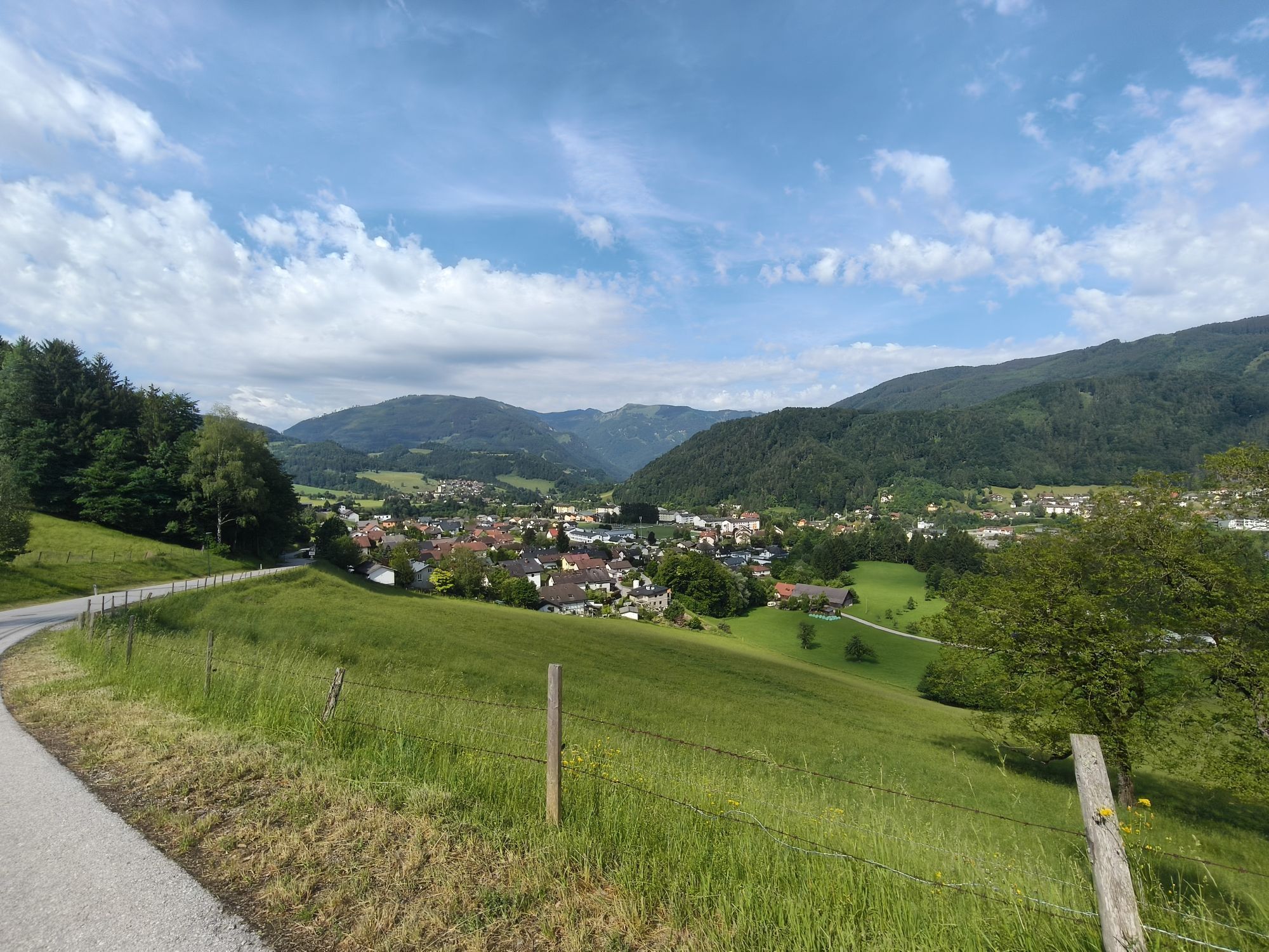
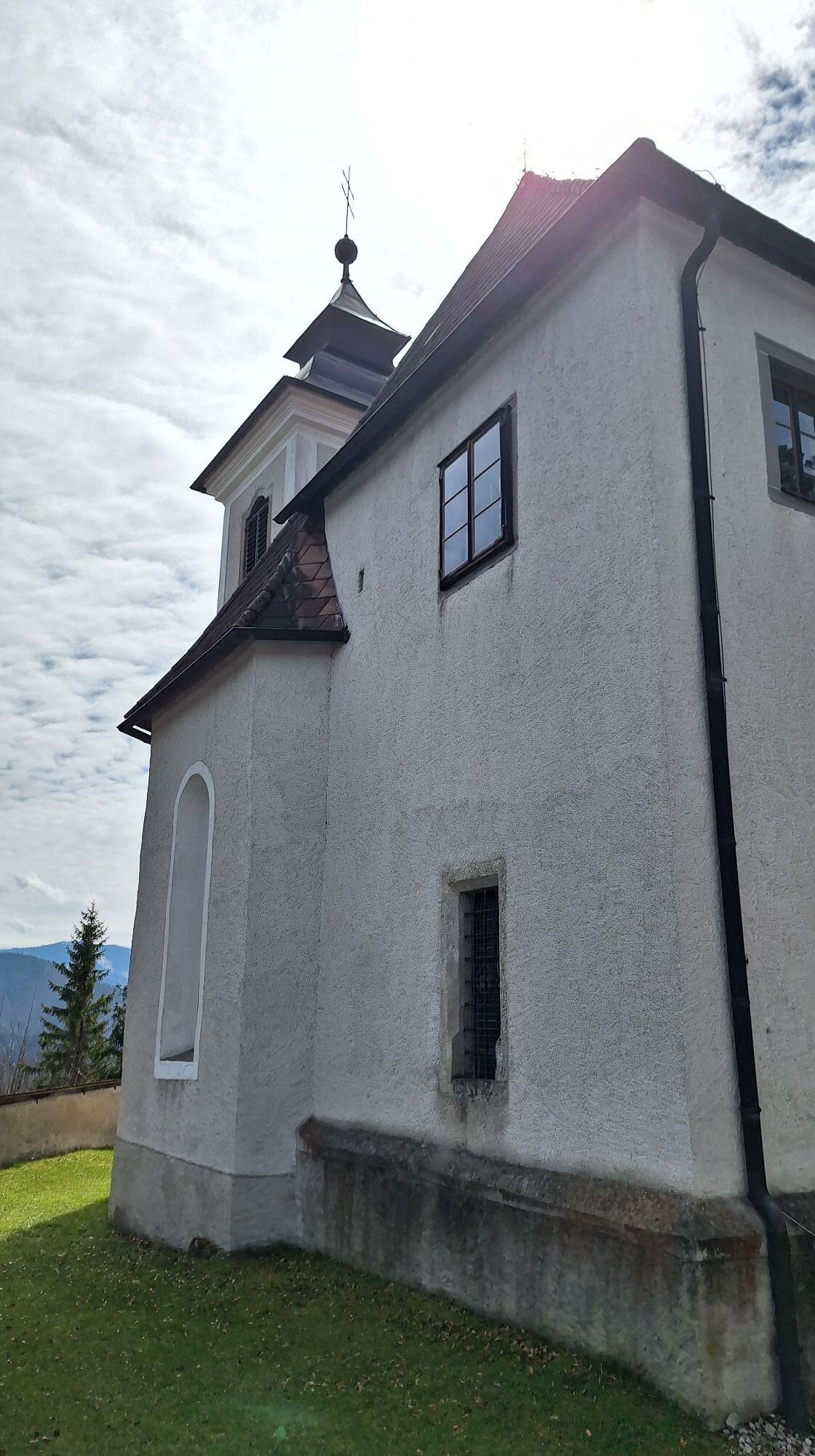
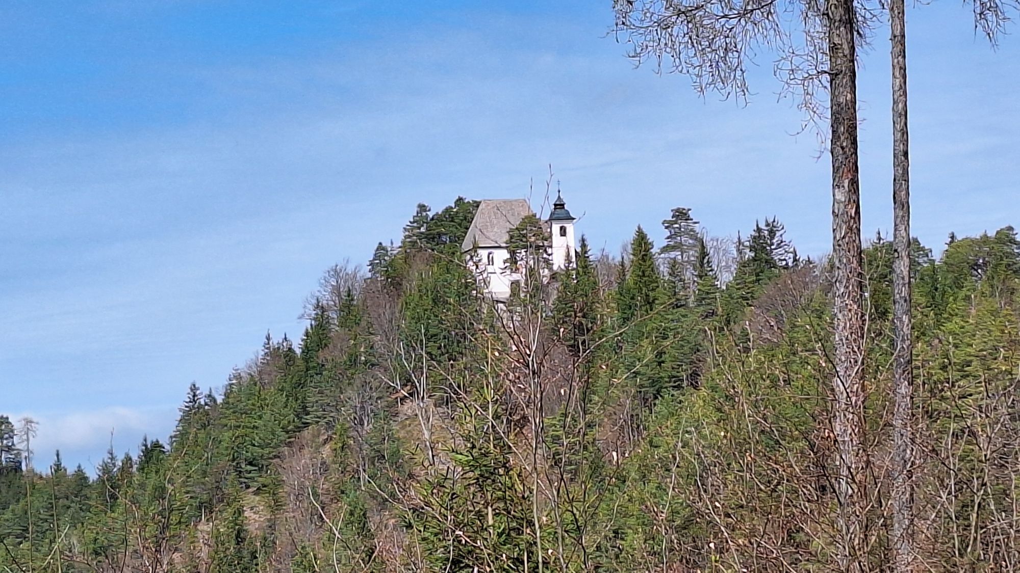
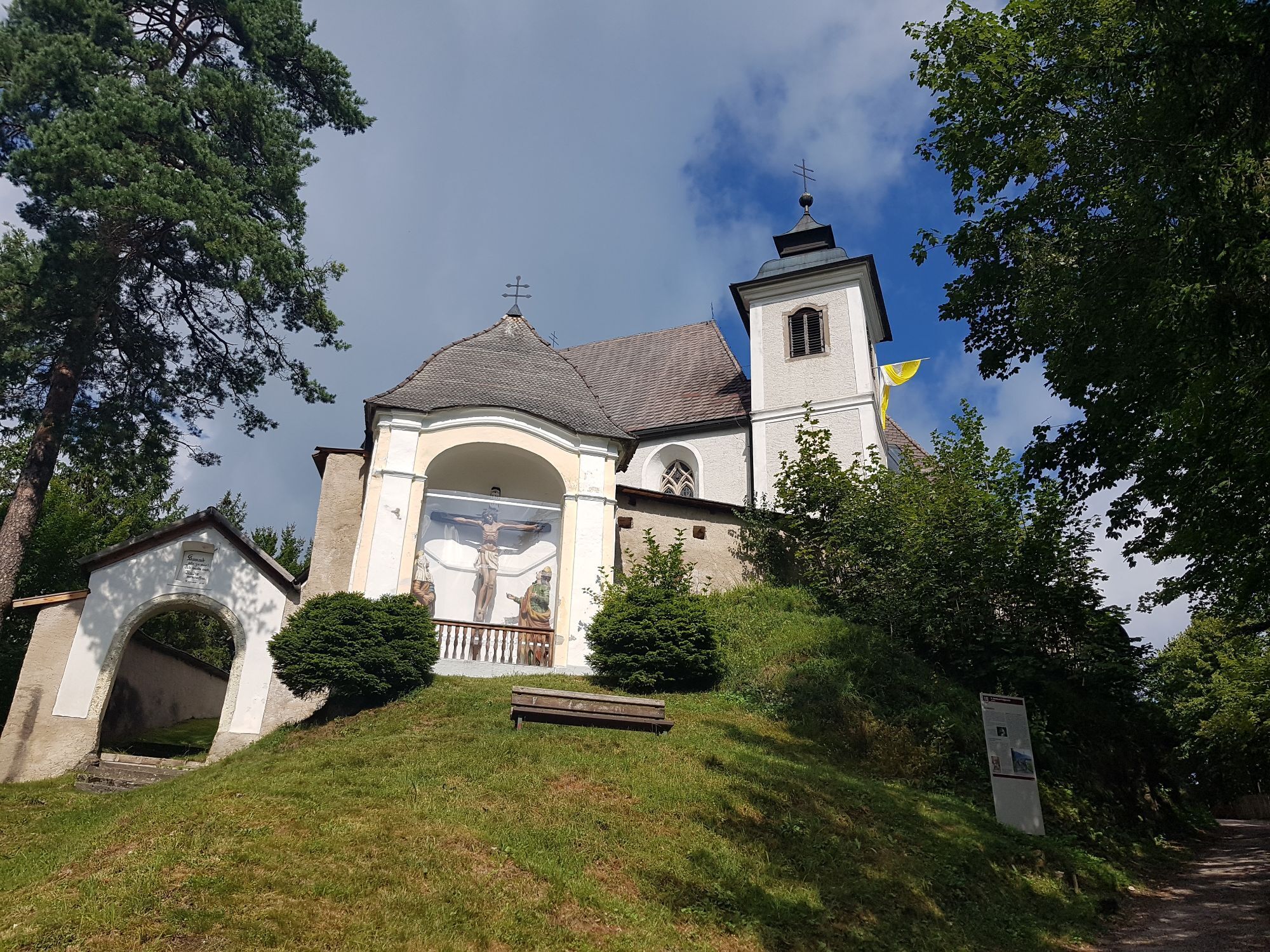
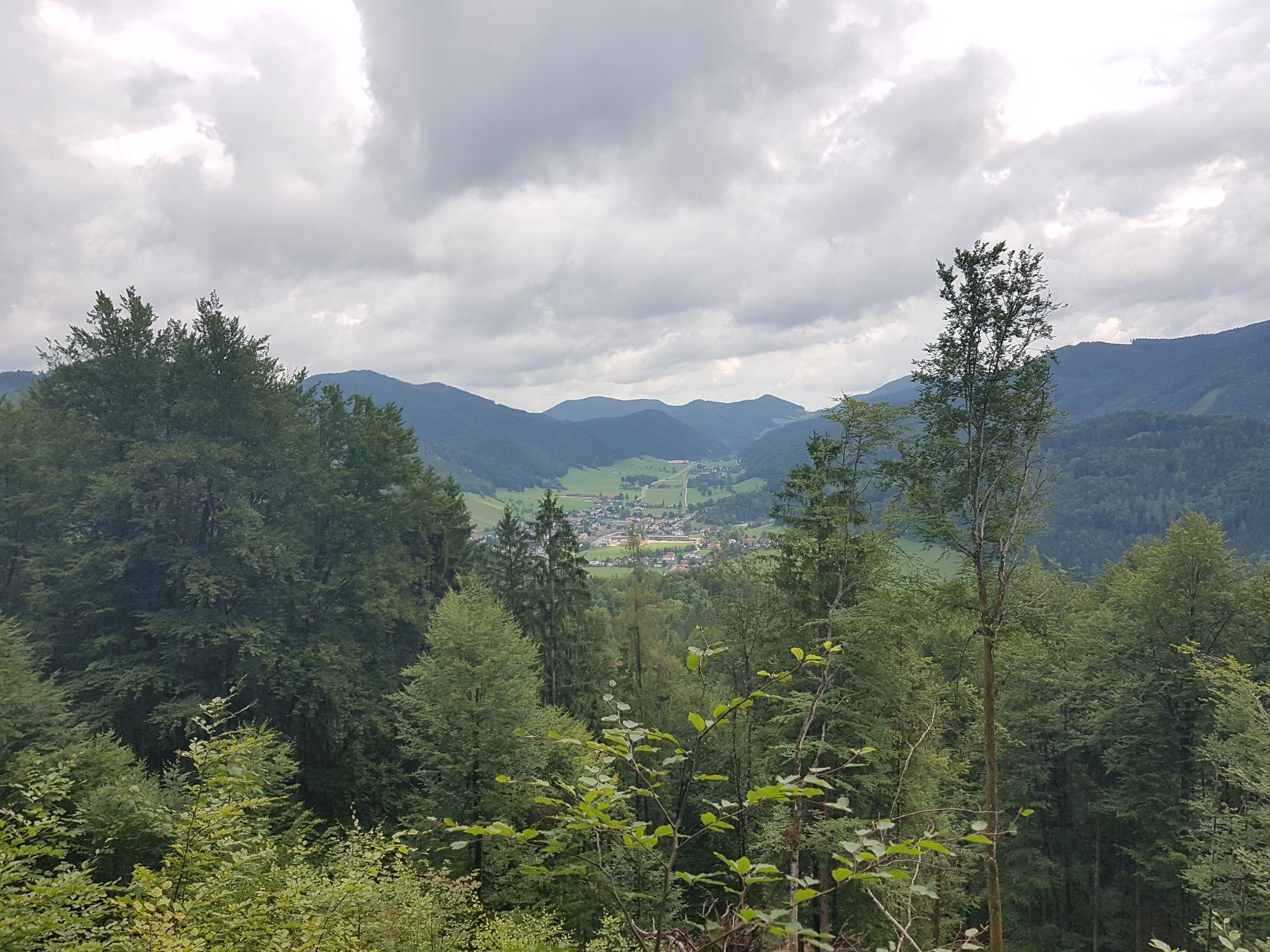
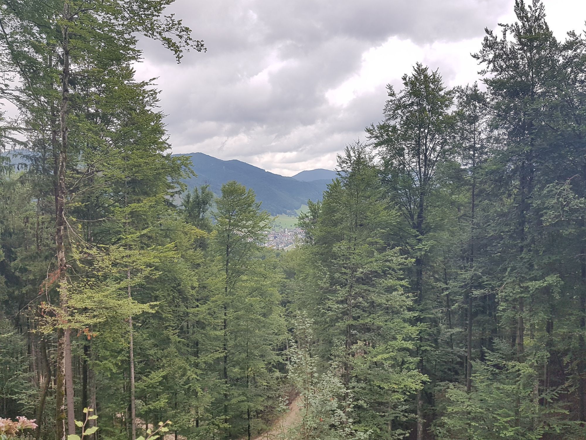
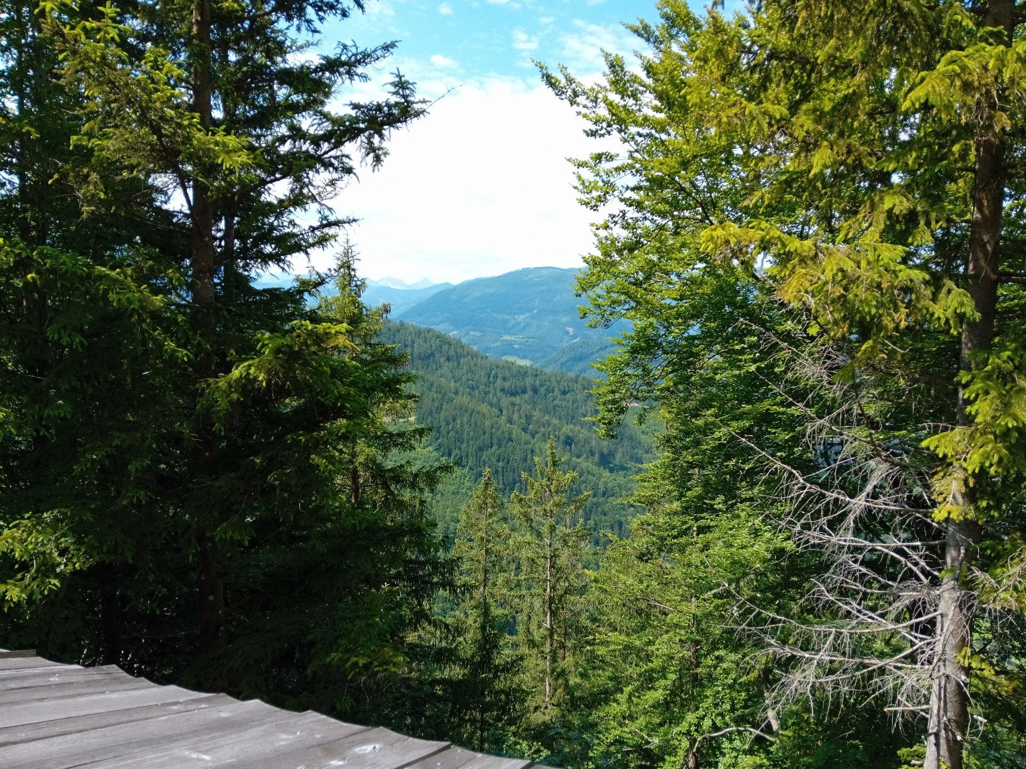
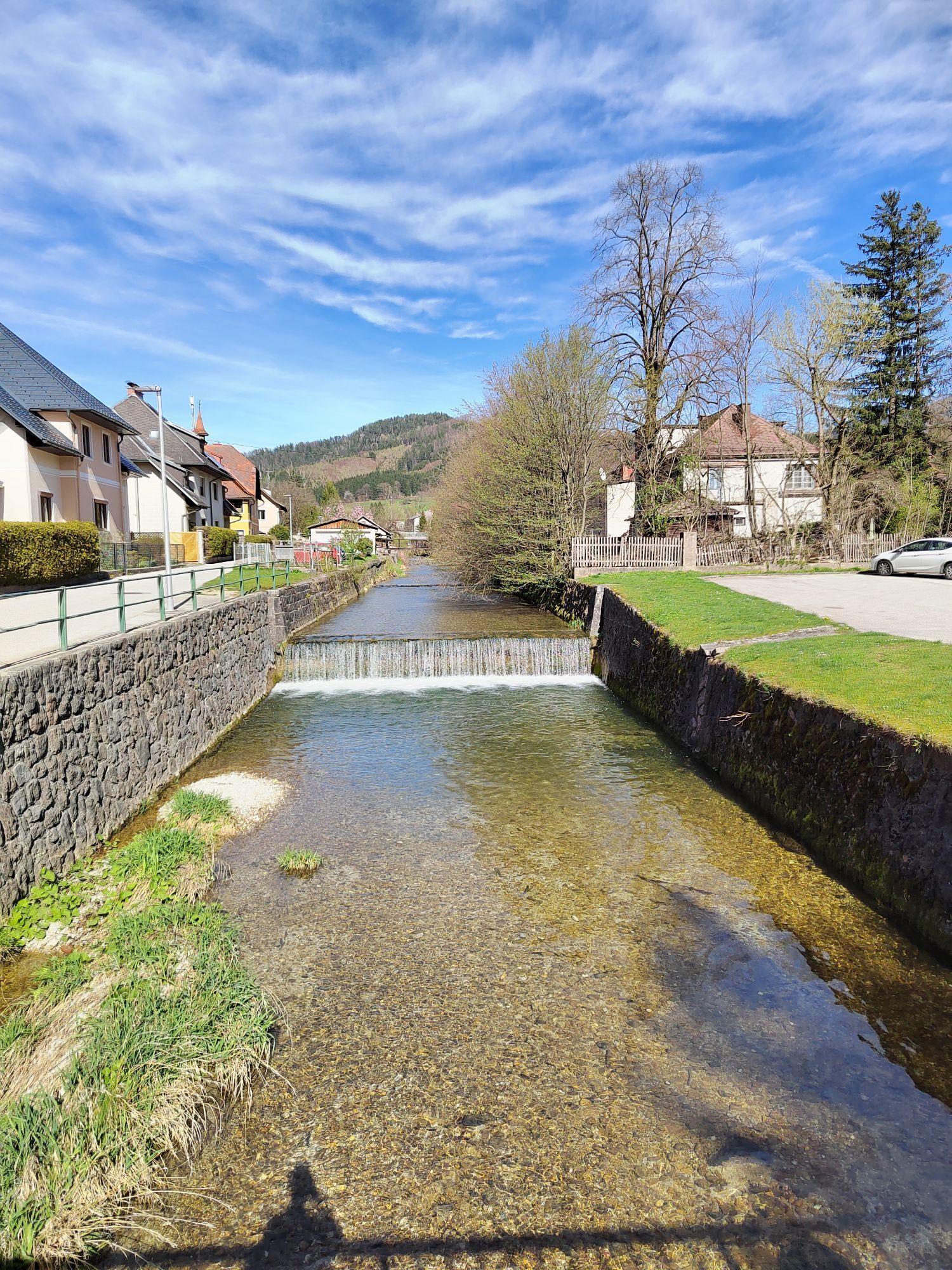
From Gaflenz station, a scenic hiking trail leads over the Way of the Cross up to the pilgrimage site Heiligenstein, where there is an idyllically located church and a snack station. Afterwards, the route...
From Gaflenz station, a scenic hiking trail leads over the Way of the Cross up to the pilgrimage site Heiligenstein, where there is an idyllically located church and a snack station. Afterwards, the route goes down a ridge to Weyer, from where you can comfortably return by train.

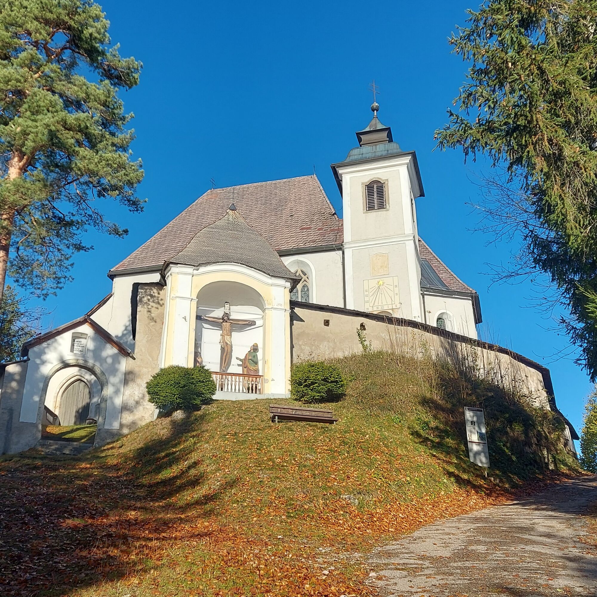
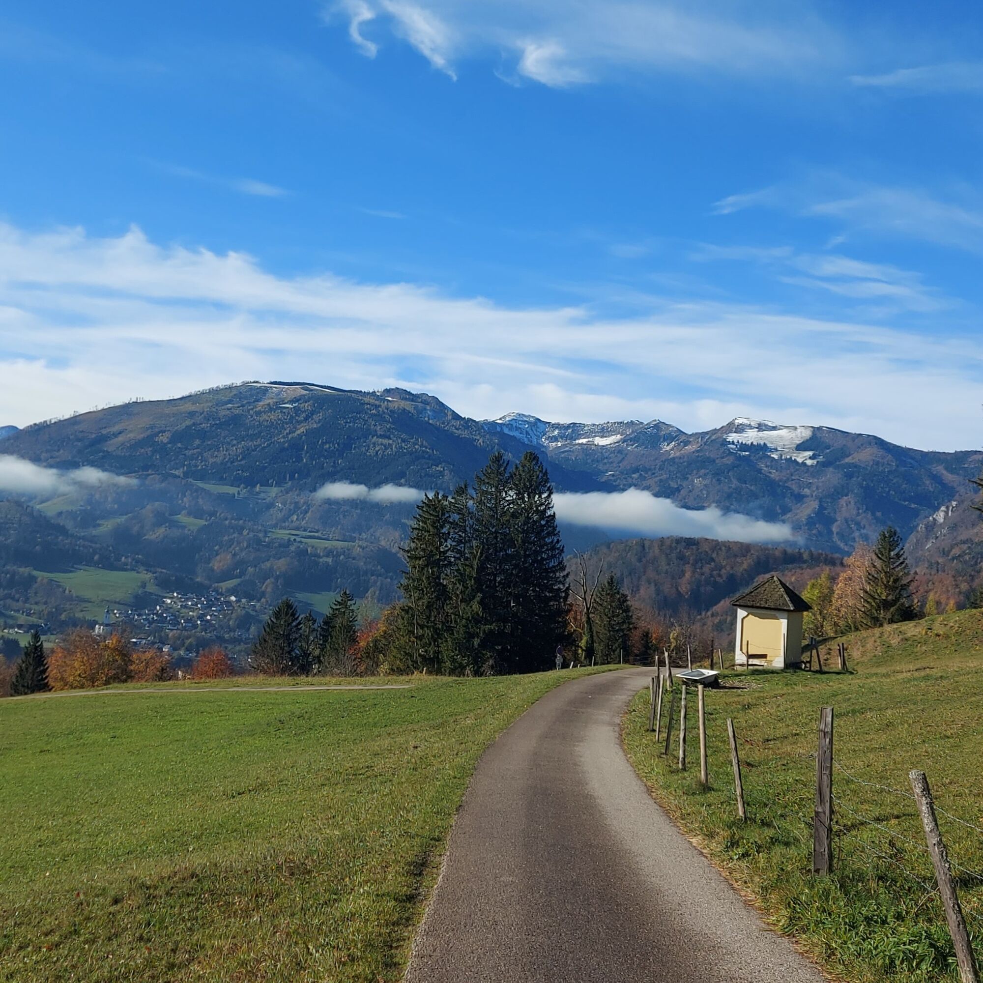
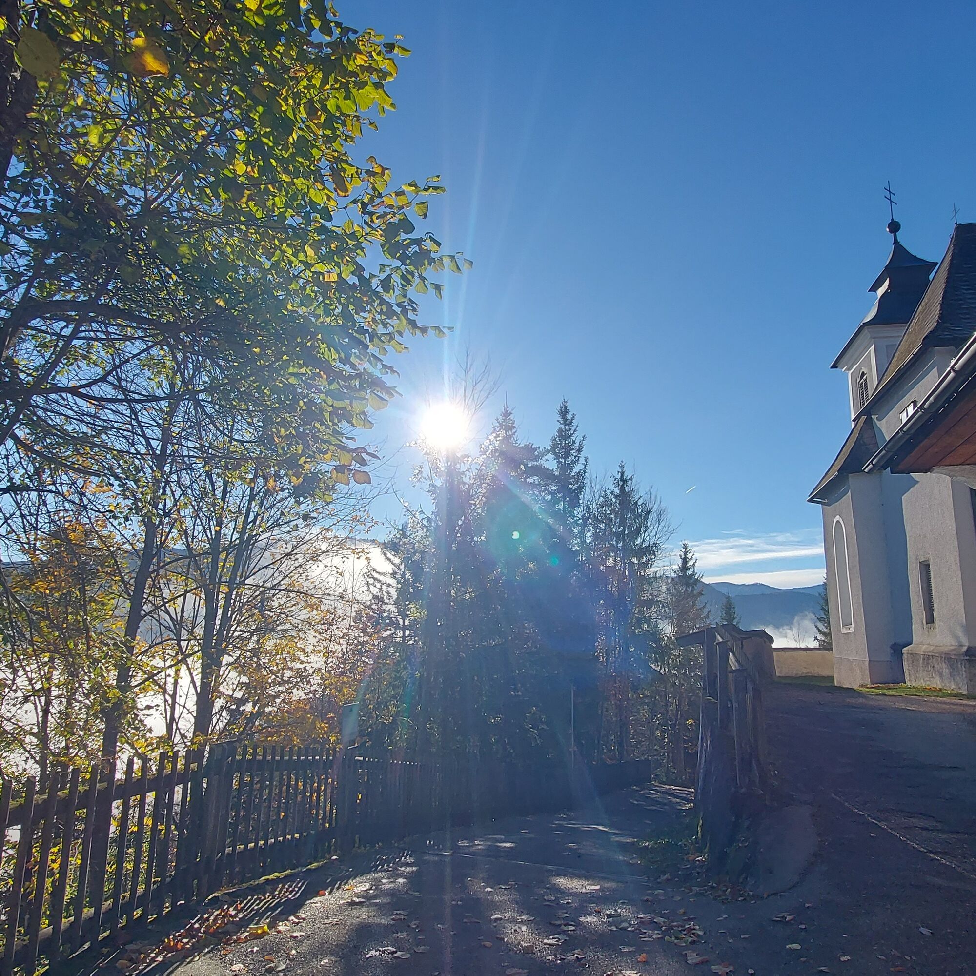
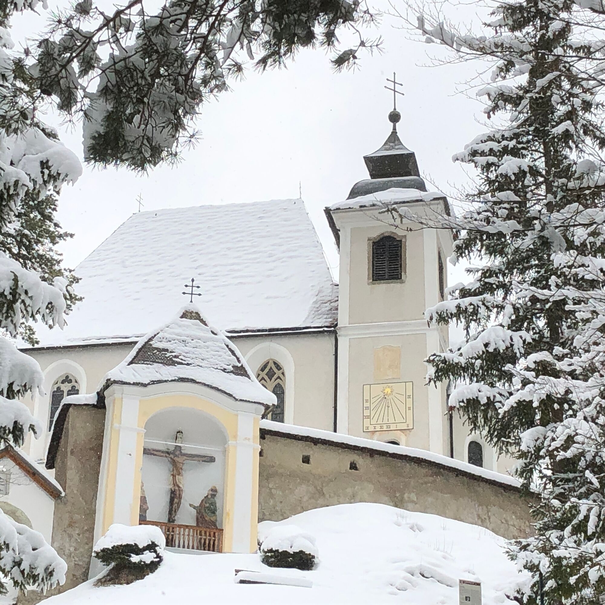

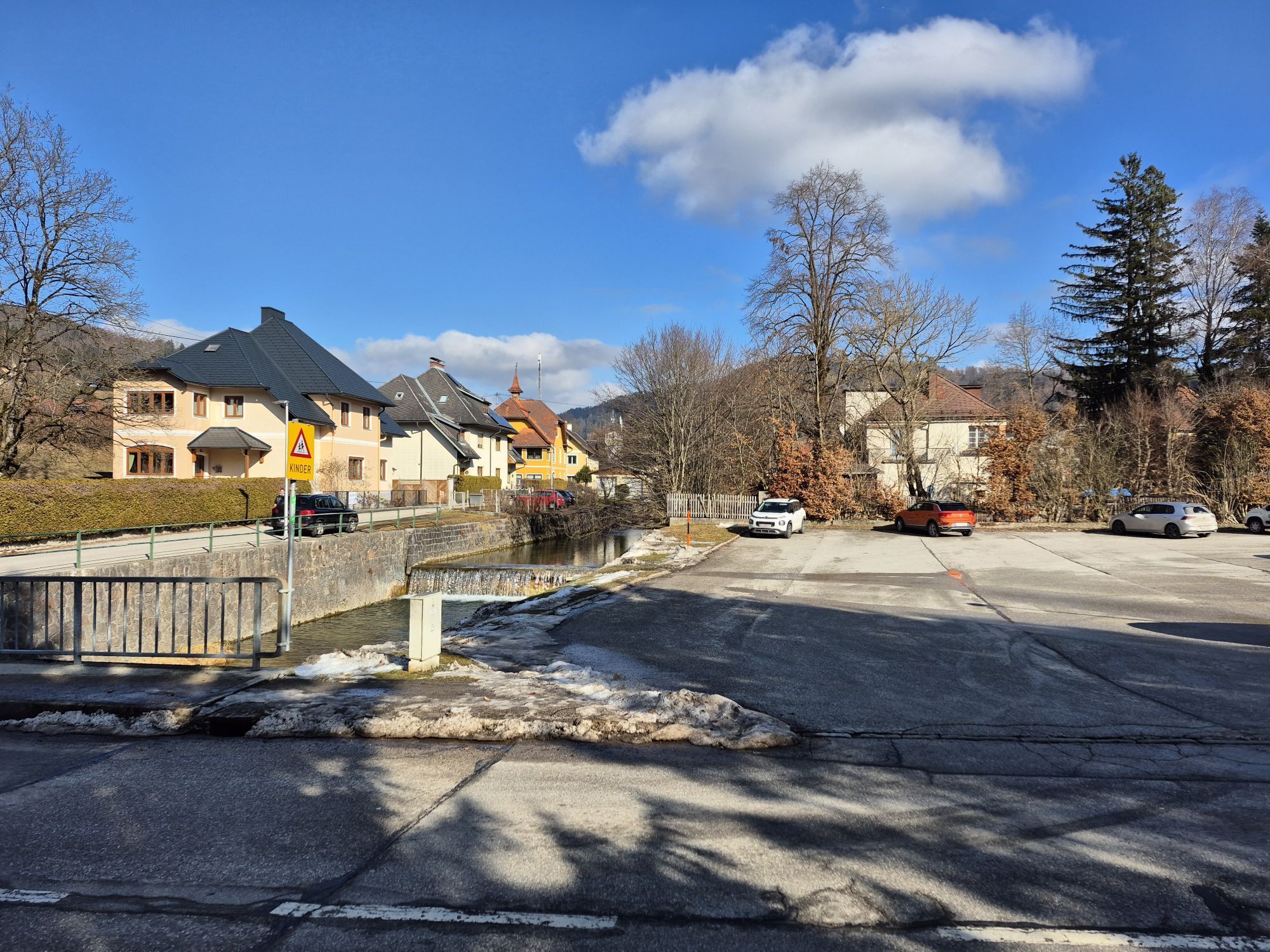
From Gaflenz station, walk southwest along the tracks towards Weyer. After about 300 meters, you reach a level crossing. Here, you are already on the path to Heiligenstein and can see the little church from afar.
After crossing the tracks, go straight ahead along the small stream until, after about 150 meters, you reach a bridge on the right side that leads over to the settlement. Follow the street through the settlement, turn right at the first intersection, and pass a car repair shop. Then you arrive at a signpost marking the Way of the Cross to Heiligenstein (path E06/E07).
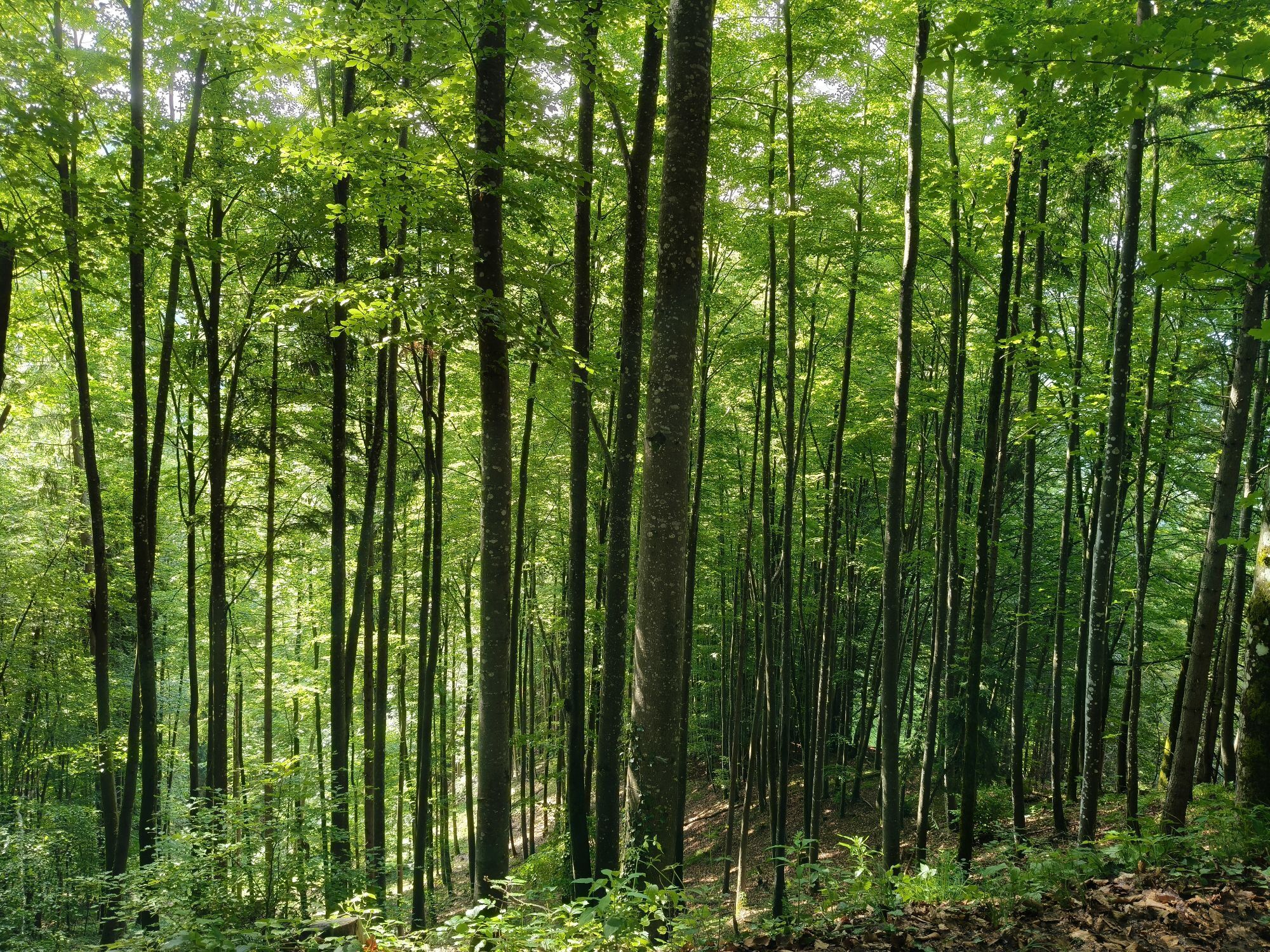
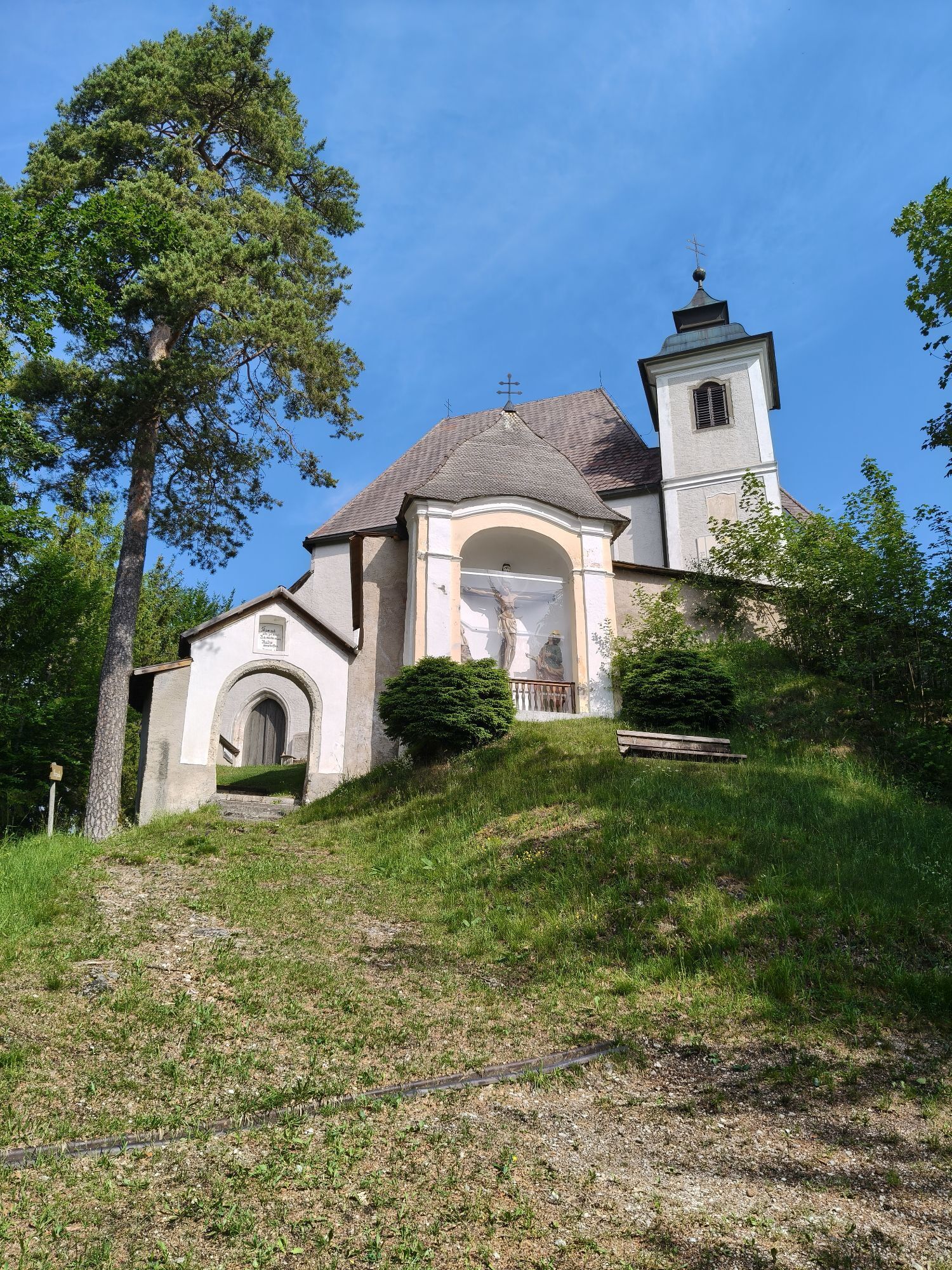
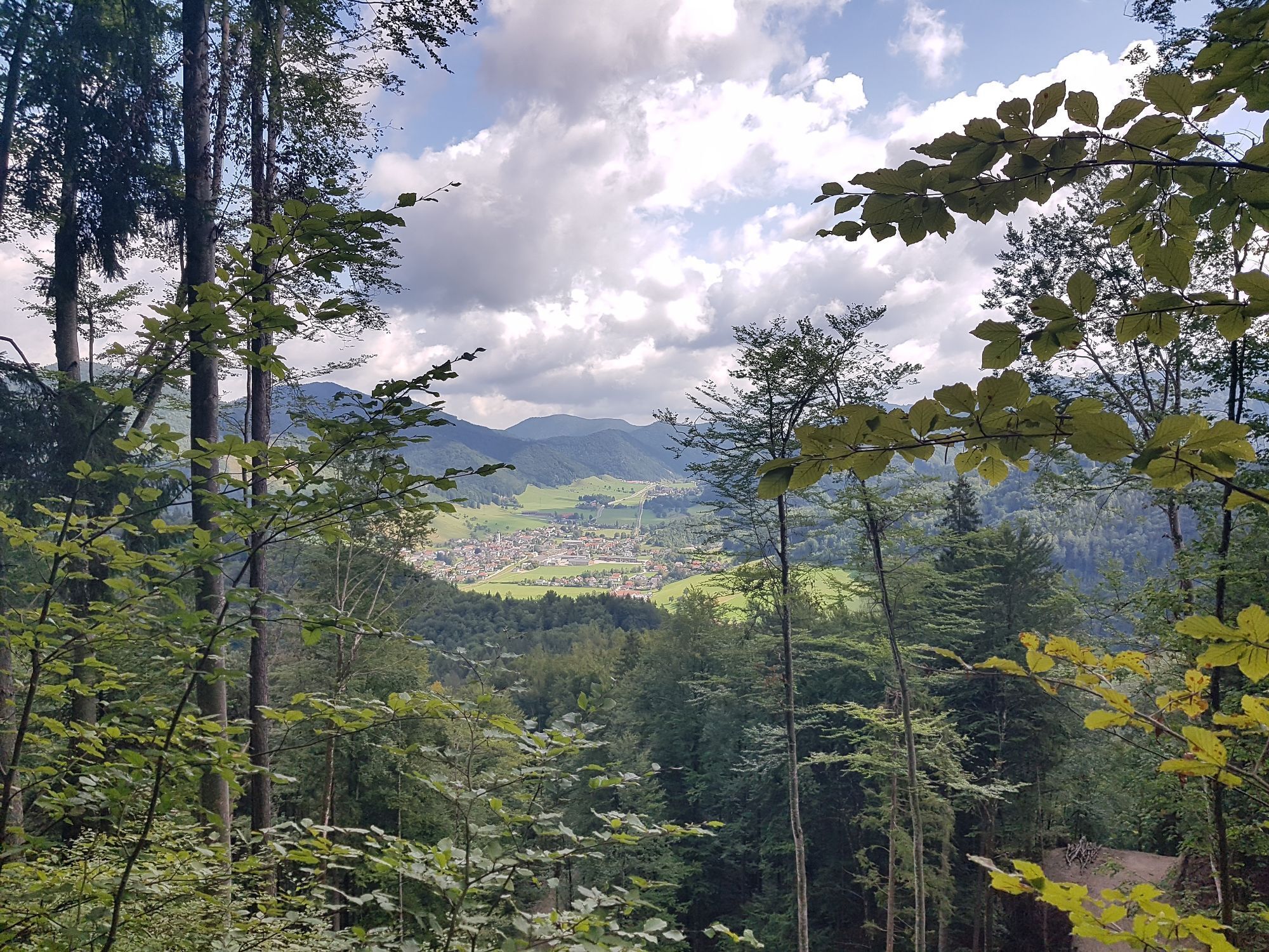
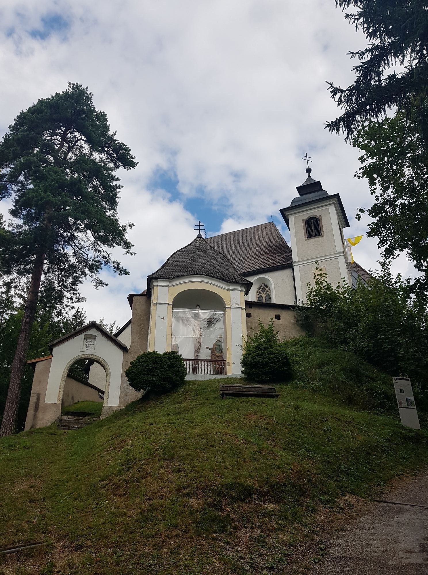
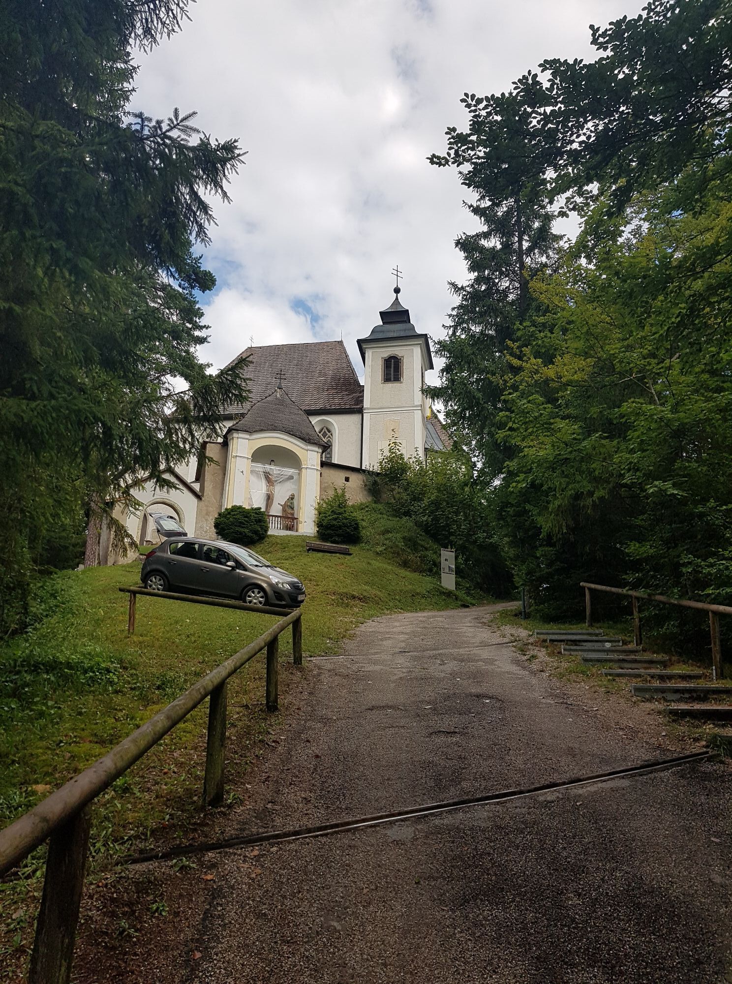
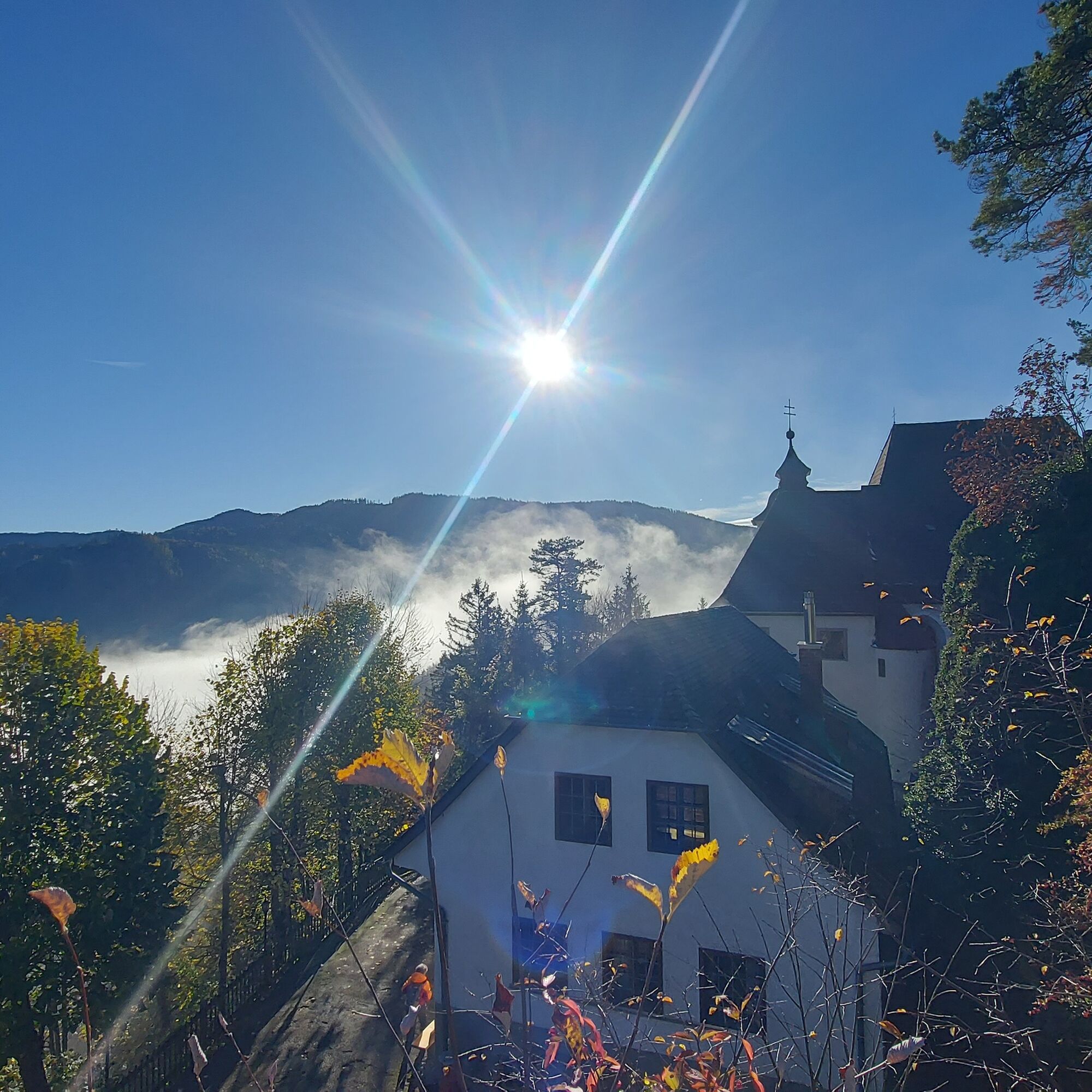
Continue along the street and shortly after, turn right at a farm. From here, the path goes steeply uphill along a forest road. The path is well marked and at the five Way of the Cross stations benches invite you to rest. At the top, follow the street to the right up to the church. Right next to it is the snack station (open on weekends and public holidays from May to October), inviting you to linger – a beautiful pilgrimage site with a magnificent view located in the middle of the forest.
From the church, the street continues along the ridge down to Weyer. Those who prefer to avoid asphalt can also take the hiking trail next to the street. At the end of the path, you enter the town of Weyer directly and can return by train to Gaflenz from there.
Clothing:
Functional or ski underwear Fleece jacket (for very cold temperatures) Waterproof outdoor jacket or light winter jacket Warm softshell trousers or hiking pants - for extreme cold: ski pants Hat and gloves Scarf or multifunctional cloth Gaiters (in snow) Warm hiking socks Sturdy, winter-suitable footwear (waterproof, grippy sole)Equipment:
Sunglasses Sunscreen Seat pad Hiking poles or ski poles (with winter baskets), if needed Light crampons or microspikes Backpack (ideally with rain cover) First aid kit Headlamp Thermos flask (e.g. with tea) and carbohydrate-rich snacks/foodAdjust your routes according to the current weather reports and act accordingly to the seasonal dangers in the terrain.
By train to Gaflenz
Gaflenz station
3
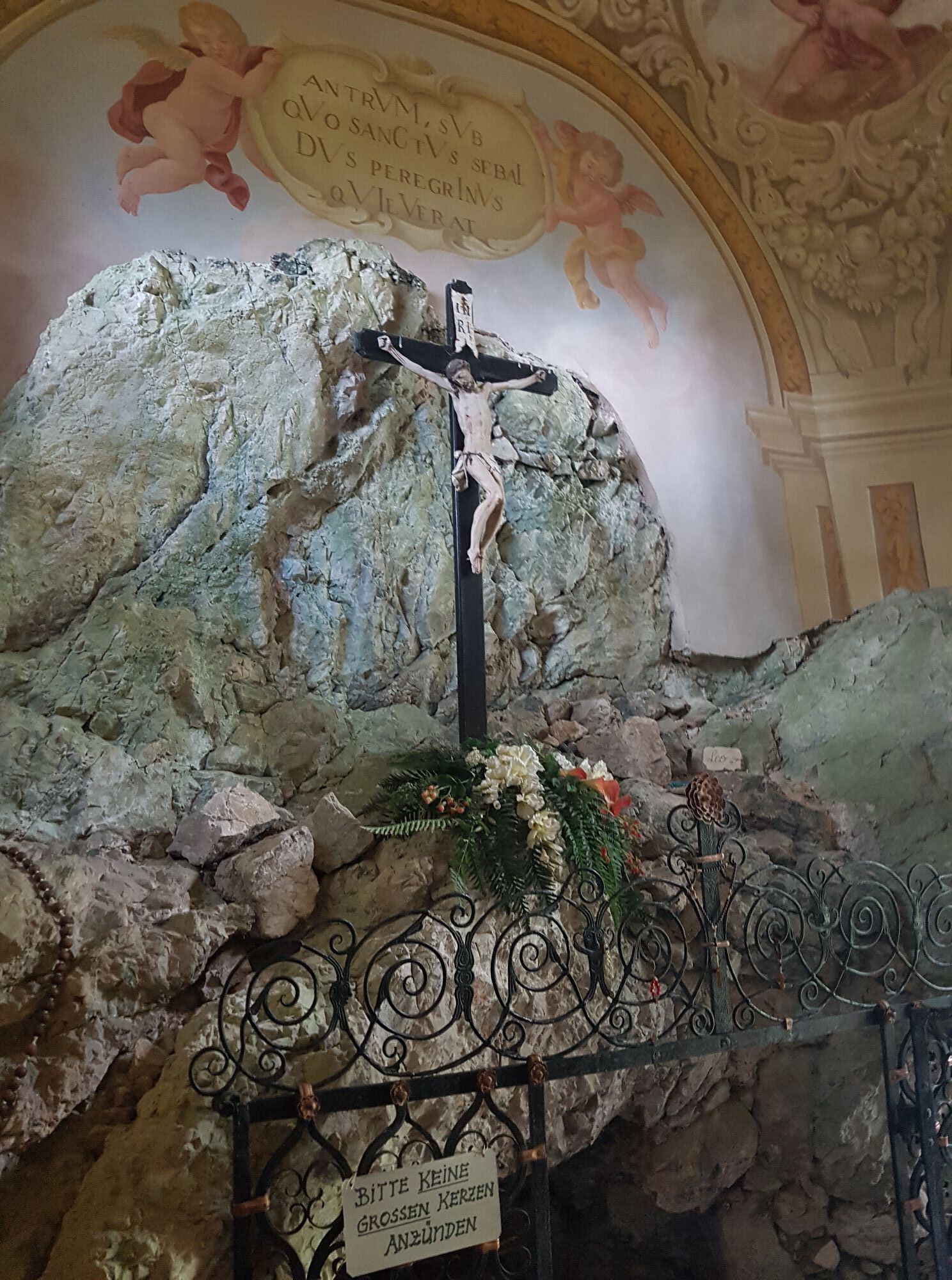
At several stations in and around the church, visitors receive information about the history of the mountain sanctuary, its significance as a pilgrimage site, and the work of Saint Sebald.
Today, the so-called sexton’s house houses a snack station. Guests are pampered on weekends and public holidays from May to October with regional specialties and homemade pastries.
Uzyskaj wgląd
Zawsze na żywo z ponad 9 500 kamer internetowych. bergfex Jako użytkownik Pro, możesz teraz zobaczyć odpowiednie kamery internetowe dla wielu wycieczek w aplikacji wycieczki od. Pozwala to na bezpośredni podgląd aktualnych warunków.
Popularne wycieczki w okolicy
-
4,9
Ennser Hut - Almkogel (from Bamacher car park)
średniWędrówka 3,53 km -
4,7
Opponitz Gorge Hiking Trail
średniWędrówka 4,42 km -
4,8
Kurzeck- Siebenhütten- Turnhöhe- Kitzhütte Göstling an der Ybbs, Österreich
światłoWędrówka 12,8 km -
4,7
GROSSRAMING Bamacher, Burgspitz, Almkogel, Ennshütte 20240730
średniWędrówka 10 km -
4,6
Gamsstein (1275m) und Gschwendtalm ab Parkplatz Brunnbach
średniWędrówka 7,37 km -
4,3
Freithofberg
średniWędrówka 9,15 km -
4,4
Kleine Gipfelrunde Glasenberg
światłoWędrówka 4,99 km -
4,1
wanderung auf den alpl
średniWędrówka 8,18 km -
4,2
Burgspitz, Almkogel, Wieser, Langlackenmauer und zurück
średniWędrówka 13,5 km -
3,9
Lindaumauer (1103 m)
Wędrówka 3,40 km
Wędrówki i tropienie


Nie przegap ofert i inspiracji na następne wakacje
Twój adres e-mail została dodana do listy mailingowej.





