






Heiligenstein via Way of the Cross
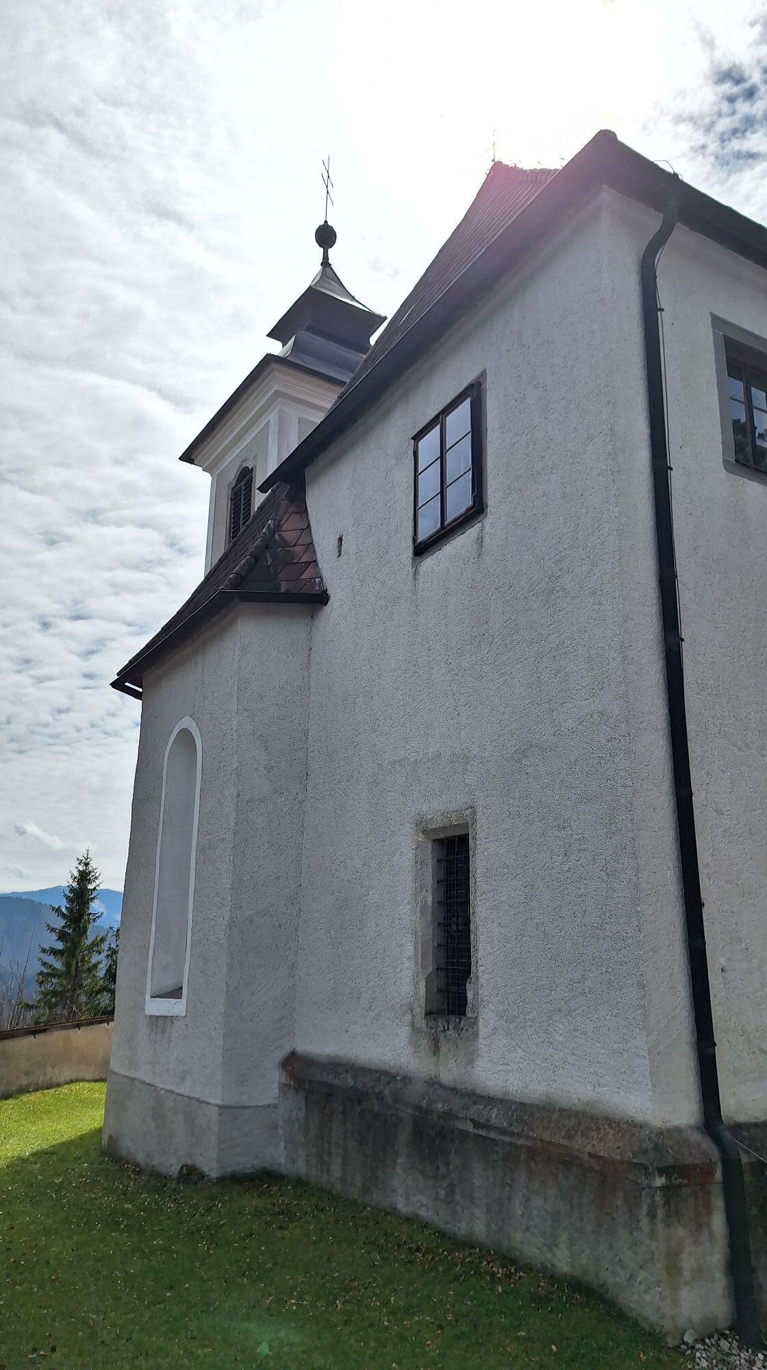
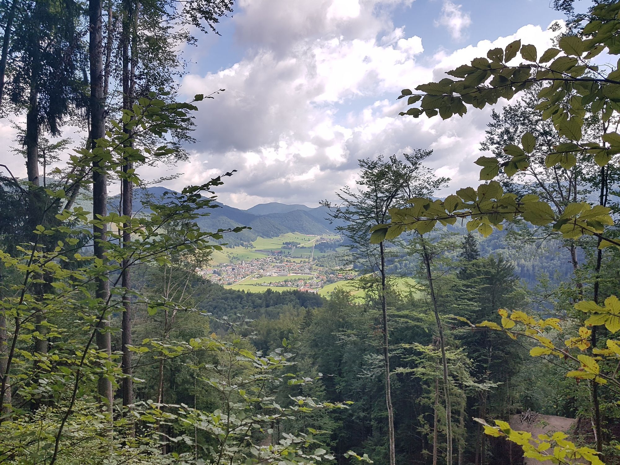
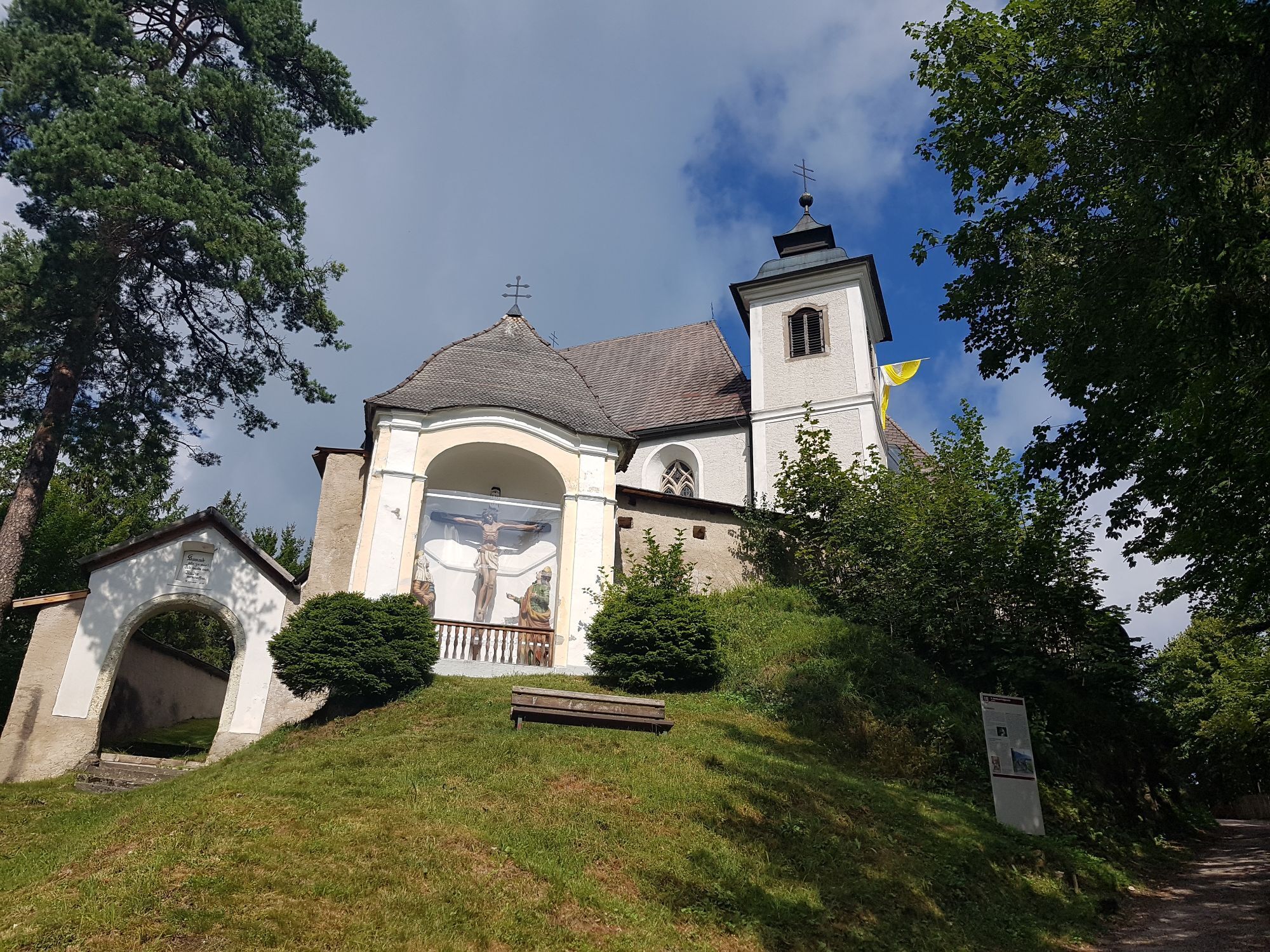
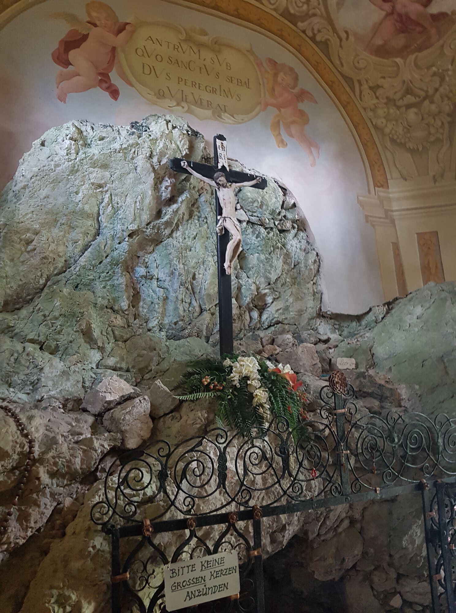
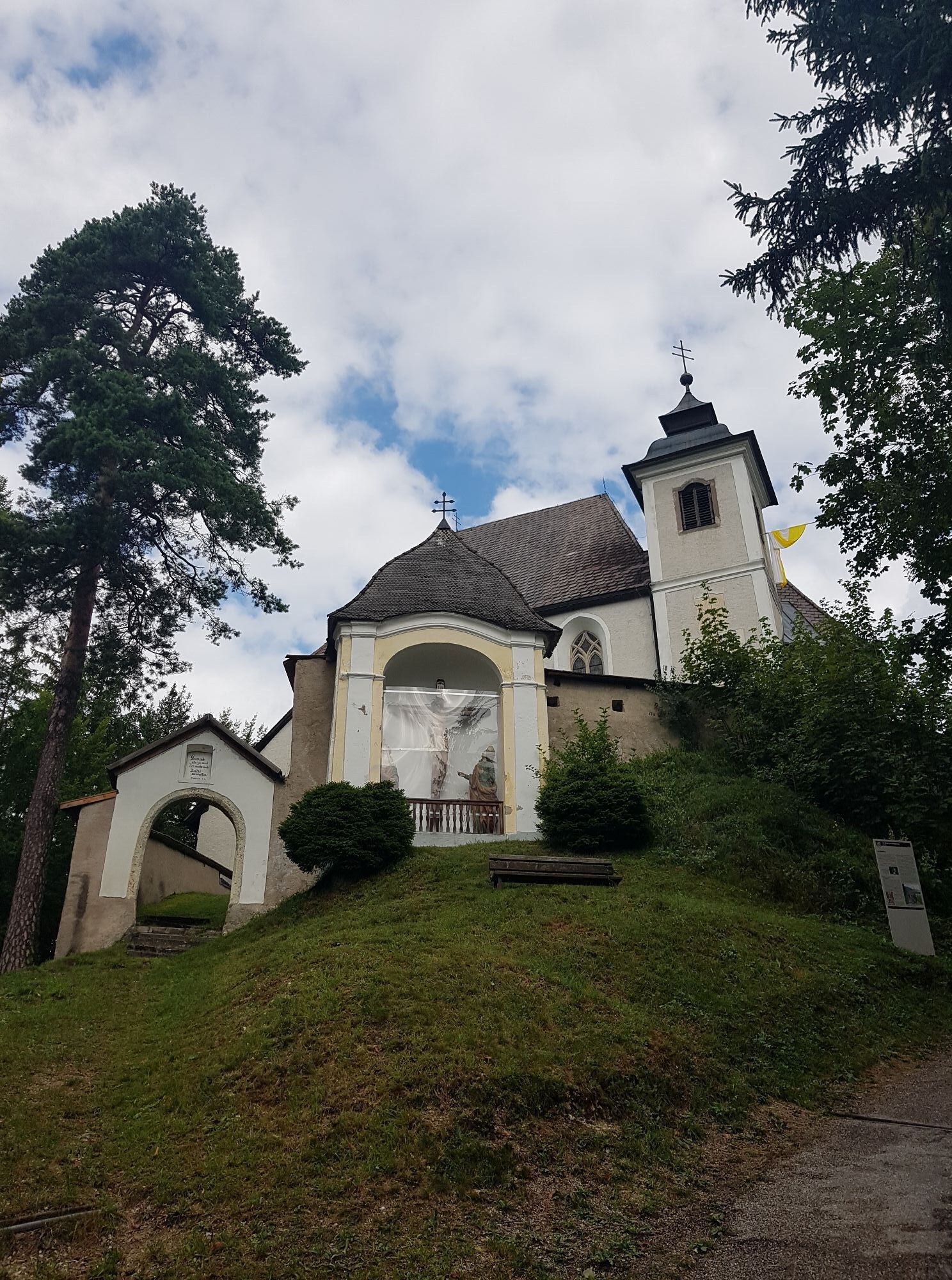
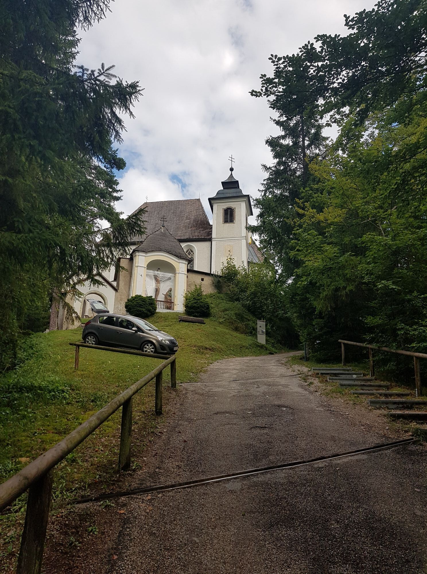
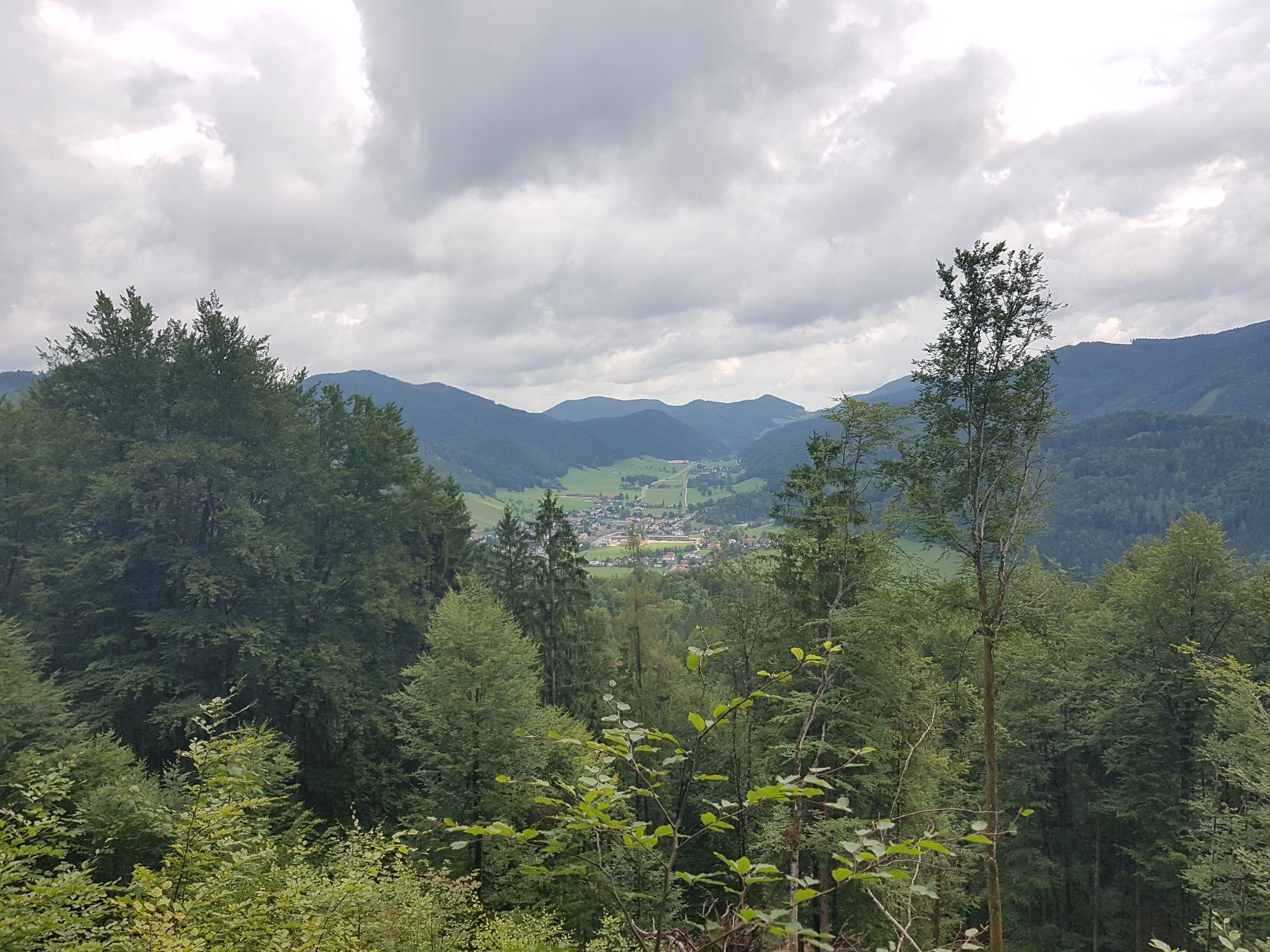
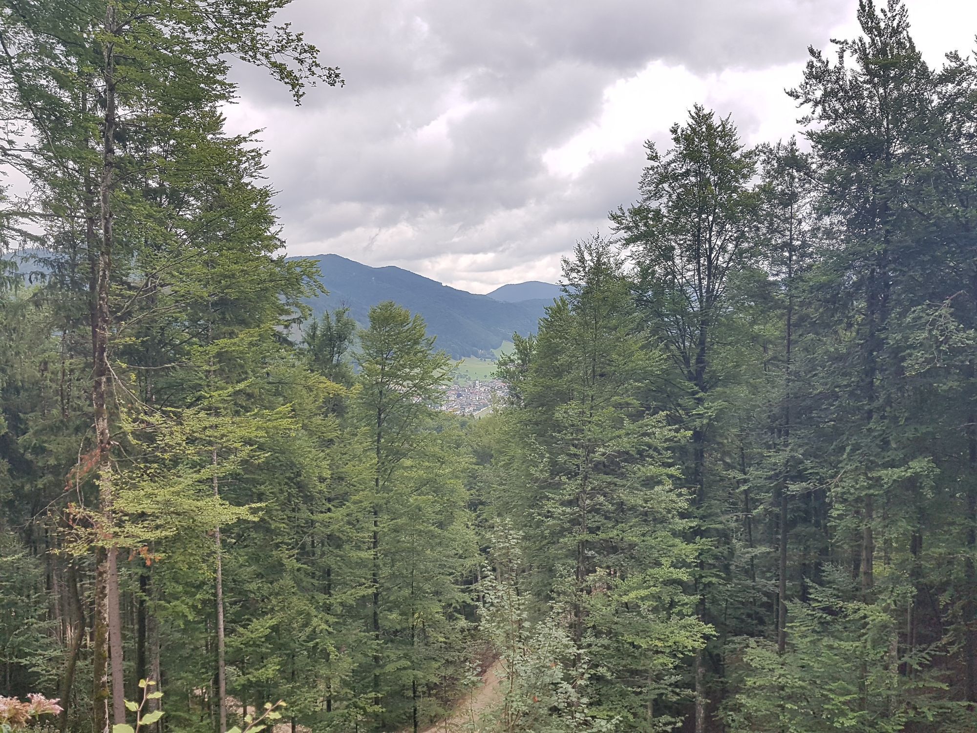
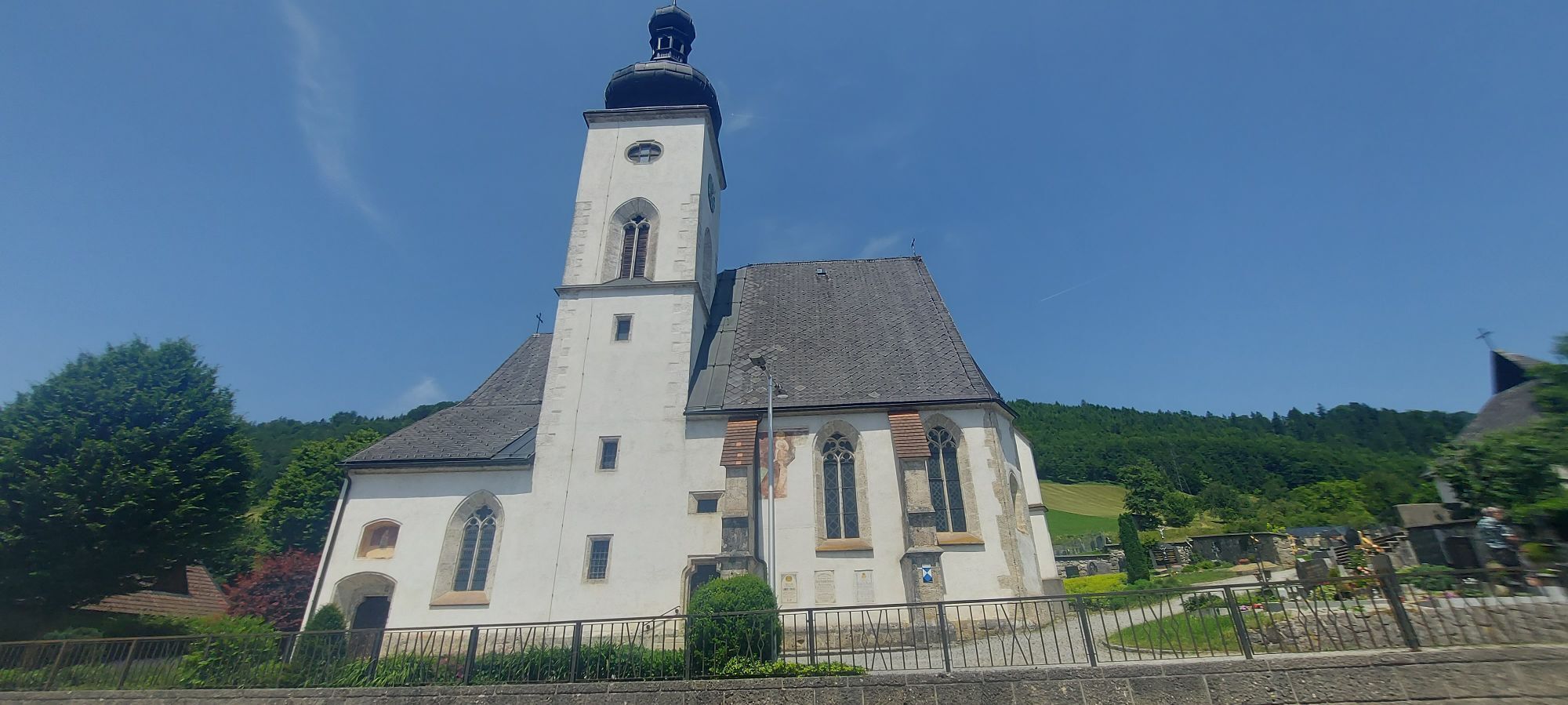
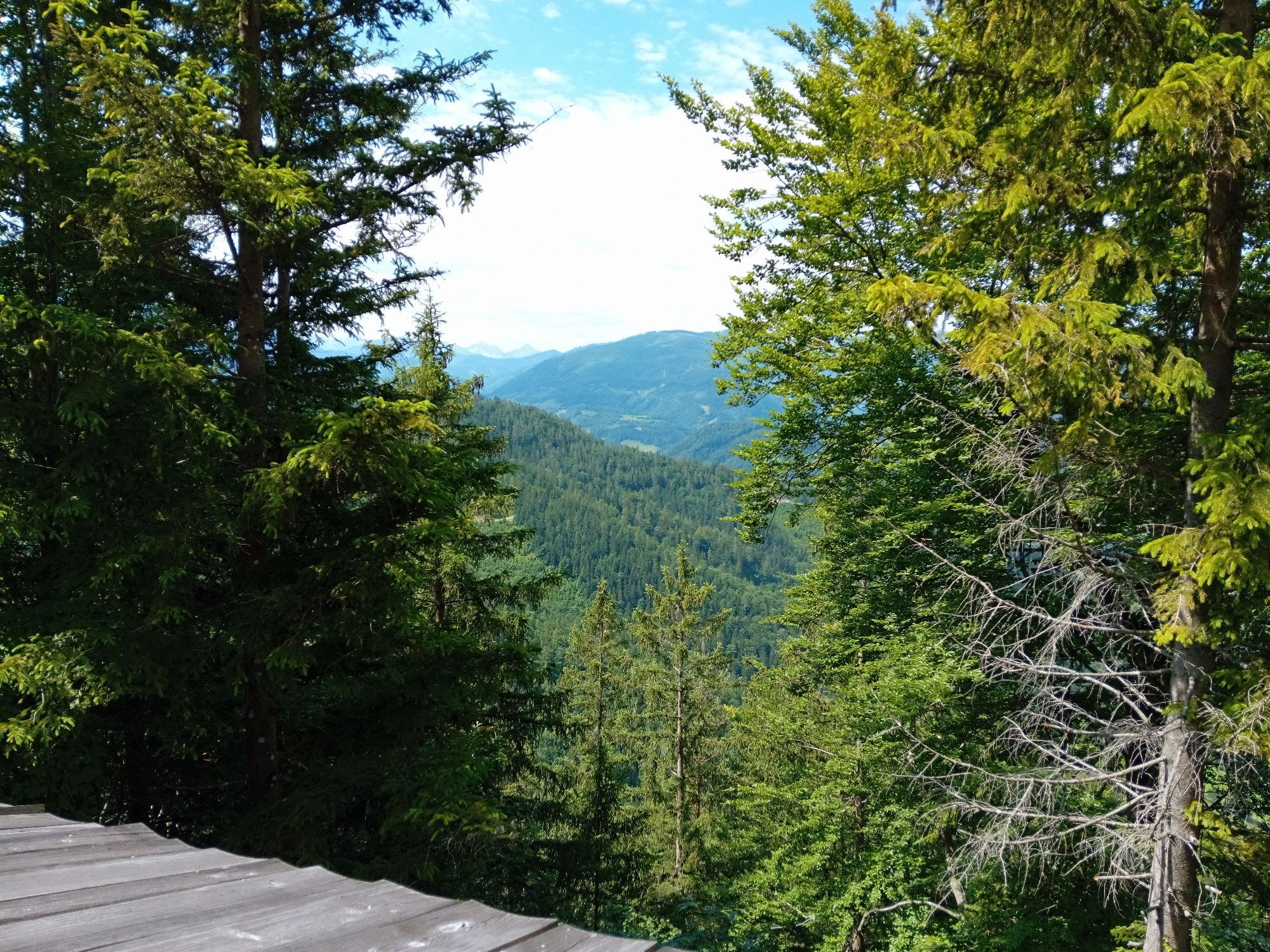
The hike to Heiligenstein offers a magnificent panoramic view of Gaflenz and the summits of the Weyrer Bögen (Almkogel, Bodenwies ...), Gesäuse mountains, and the Haller Mauern, and also leads to a traditional...
The hike to Heiligenstein offers a magnificent panoramic view of Gaflenz and the summits of the Weyrer Bögen (Almkogel, Bodenwies ...), Gesäuse mountains, and the Haller Mauern, and also leads to a traditional pilgrimage site, the only Sebaldus church in Austria.
Hiking trail: E06



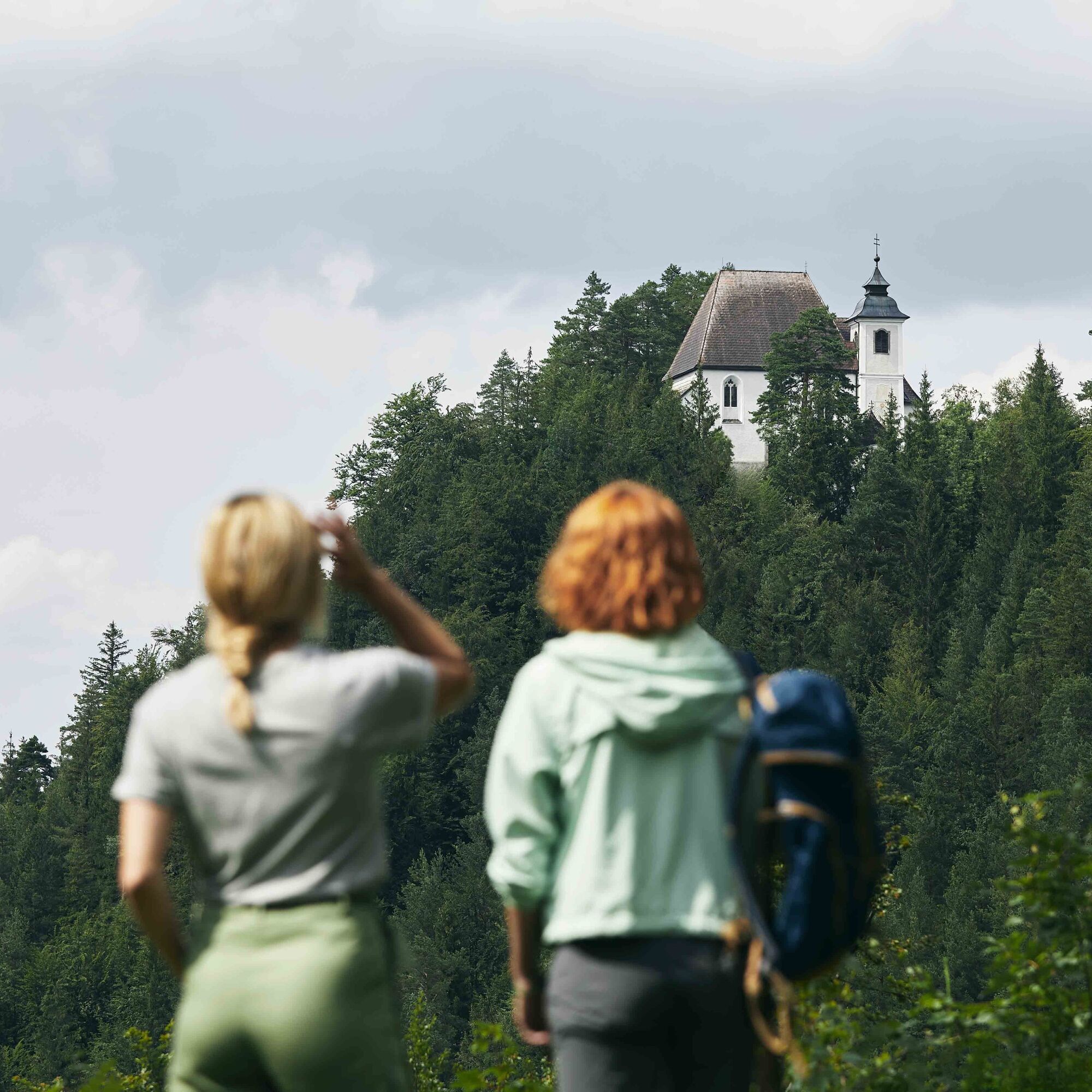

Starting from the town center of Gaflenz, hiking trail E06 leads via the Way of the Cross to Heiligenstein, and some further trails are available for Heiligenstein, allowing various circular hikes.
Variants:
E07 from Gaflenz town center via Pfarralm
E08 from Lindau via the Oberwinkel farm
E09 from Weyer via the nature trail
Themed trail: At several stations in and around the church, visitors receive information about the history of the mountain sanctuary, its significance as a pilgrimage site, and the work of Saint Sebald.
In the so-called sexton’s house, there is now a snack station. Guests are treated on weekends and public holidays from May to October with local specialties and homemade pastries.
Tak
Tak
From Vienna: A1 motorway exit Haag > B42 > B122 > B115 into the Enns Valley
From Passau: A8 Passau > Wels > A1 motorway exit Enns-Steyr > B115 into the Enns Valley
From Graz: A9 Pyhrnautobahn > motorway exit Klaus > Grünburg > into the Ennstal Valley
Details at www.ooevv.at
Railway Stations are located in Steyr, Garsten, Lahrndorf, Dürnbach, Ternberg, Trattenbach, Losenstein, Reichraming, Großraming, Gaflenz, Weyer, Küpfern, Kastenreith, Kleinreifling and Weißenbach-St. Gallen.
Gaflenz/parking spaces in the town center
Climate-friendly to the National Park region - Gaflenz train station: By train, you will reach the starting point for this hike in about 2 hours from Linz and about 2.5 hours from Vienna.
 Uzyskaj wgląd Zawsze na żywo z ponad 9 500 kamer internetowych. bergfex Jako użytkownik Pro, możesz teraz zobaczyć odpowiednie kamery internetowe dla wielu wycieczek w aplikacji wycieczki od. Pozwala to na bezpośredni podgląd aktualnych warunków.
Popularne wycieczki w okolicy
- 4,9
Ennser Hut - Almkogel (from Bamacher car park)
średniWędrówka 3,53 km - 4,9
Kurzeck- Siebenhütten- Turnhöhe- Kitzhütte Göstling an der Ybbs, Österreich
światłoWędrówka 12,8 km - 4,7
GROSSRAMING Bamacher, Burgspitz, Almkogel, Ennshütte 20240730
średniWędrówka 10 km - 4,3
Freithofberg
średniWędrówka 9,15 km - 4,6
Opponitz Gorge Hiking Trail
średniWędrówka 4,42 km - 4,1
wanderung auf den alpl
średniWędrówka 8,18 km - 4,4
Kleine Gipfelrunde Glasenberg
światłoWędrówka 4,99 km - 3,8
Lindaumauer (1103 m)
Wędrówka 3,40 km - 4,5
Lindaumauer, Maria Neustift
średniWędrówka 5,53 km - 4,1
Hollenstein Stupfmauer Voralpe Tanzboden retour 20.08.2016
średniWędrówka 15,6 km

Wędrówki i tropienie


Nie przegap ofert i inspiracji na następne wakacje
Twój adres e-mail została dodana do listy mailingowej.





