


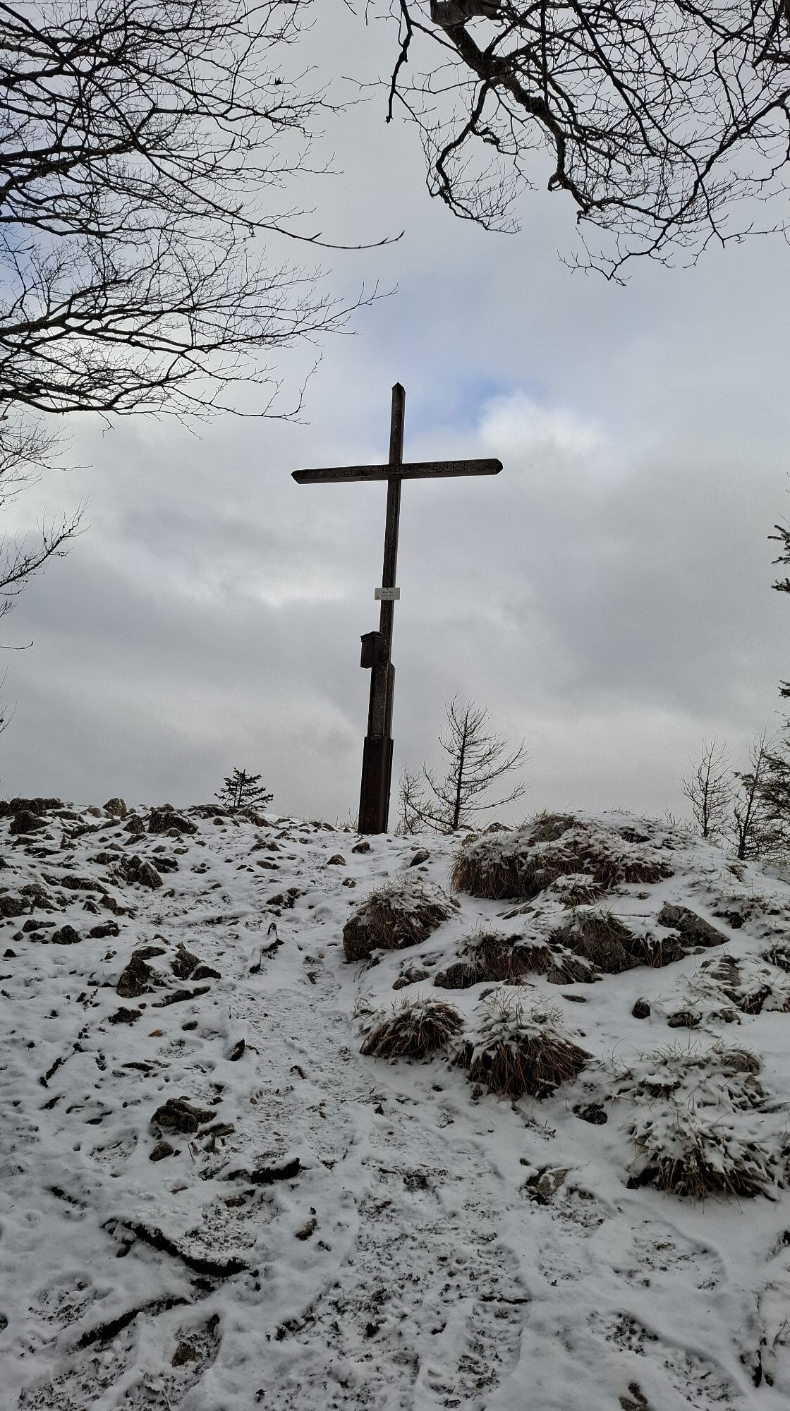
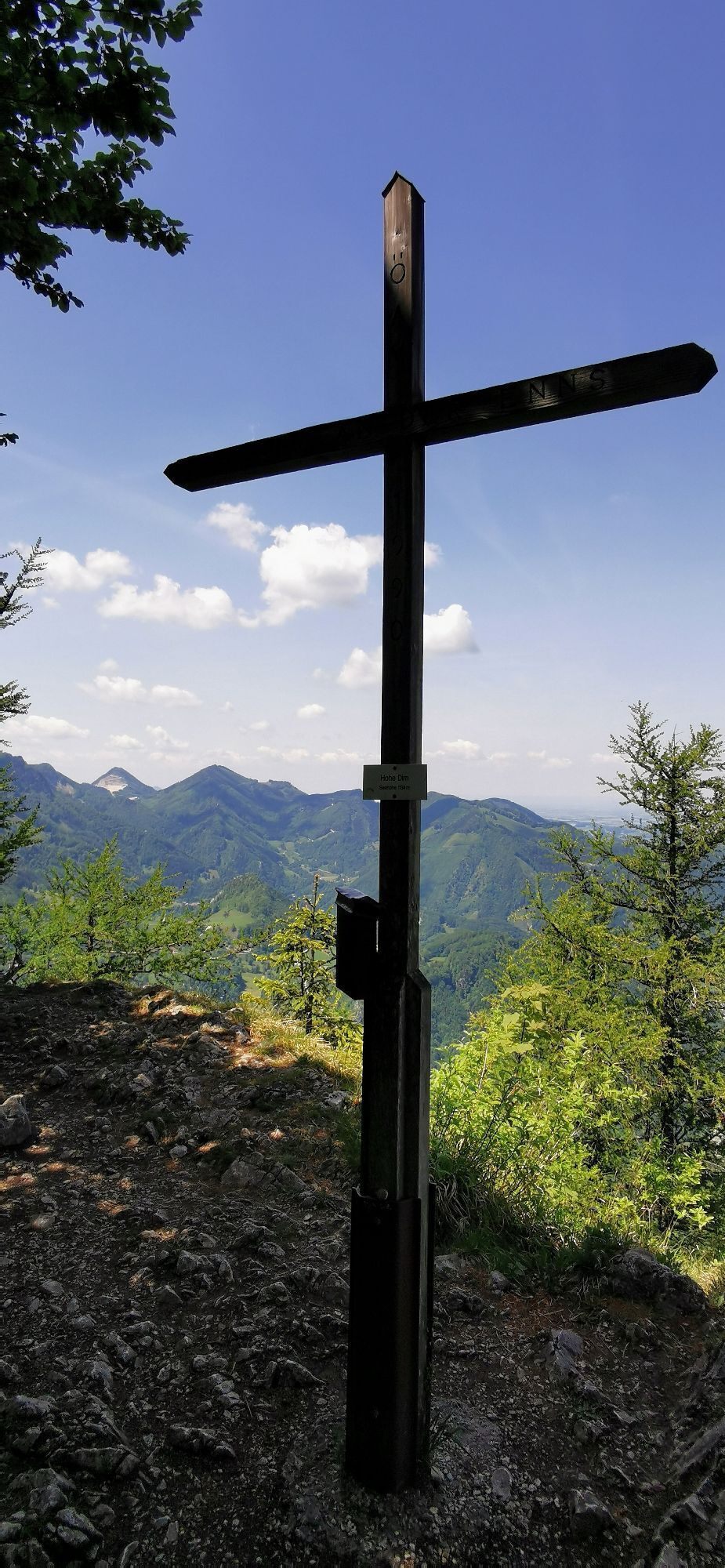
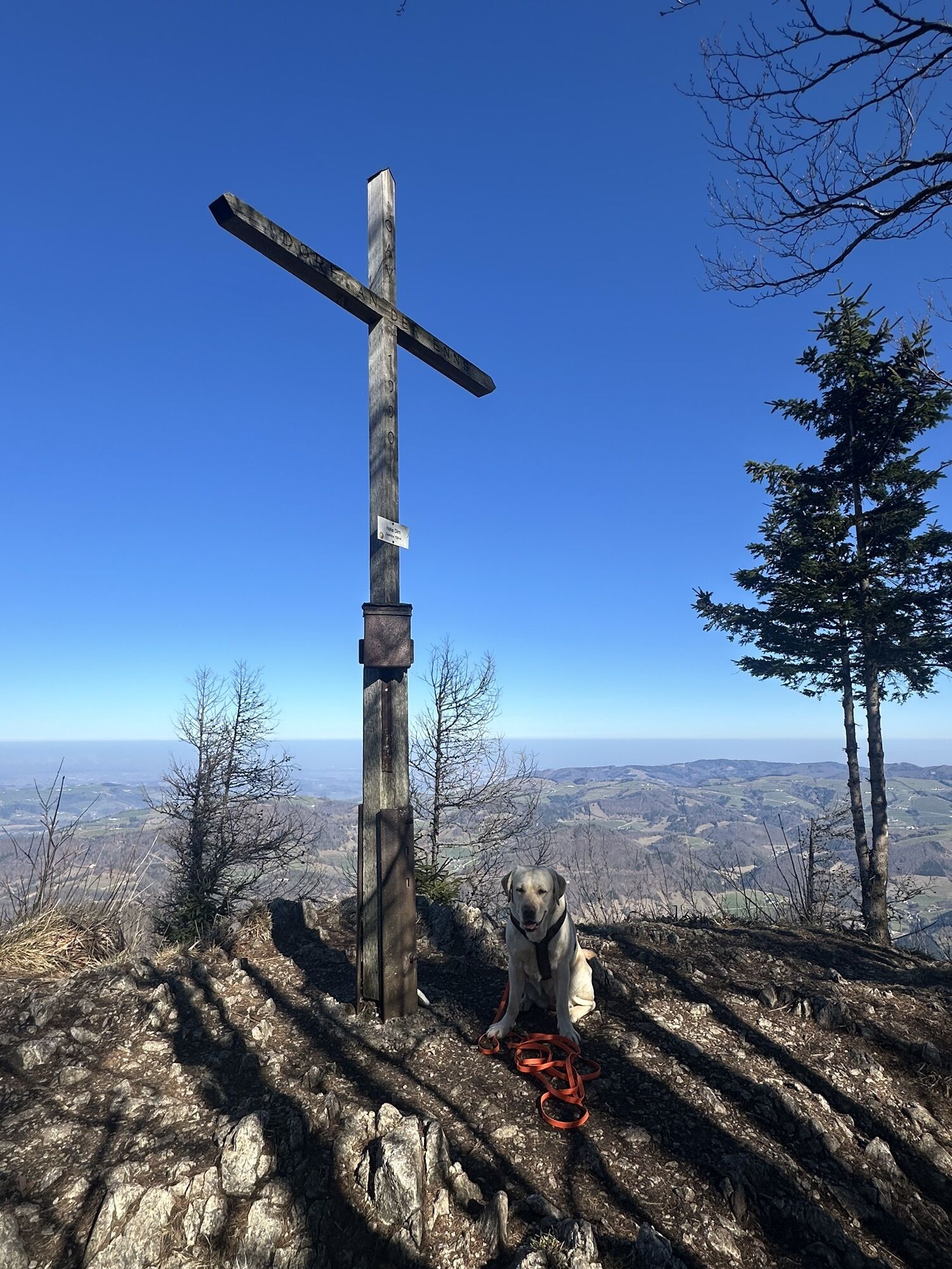
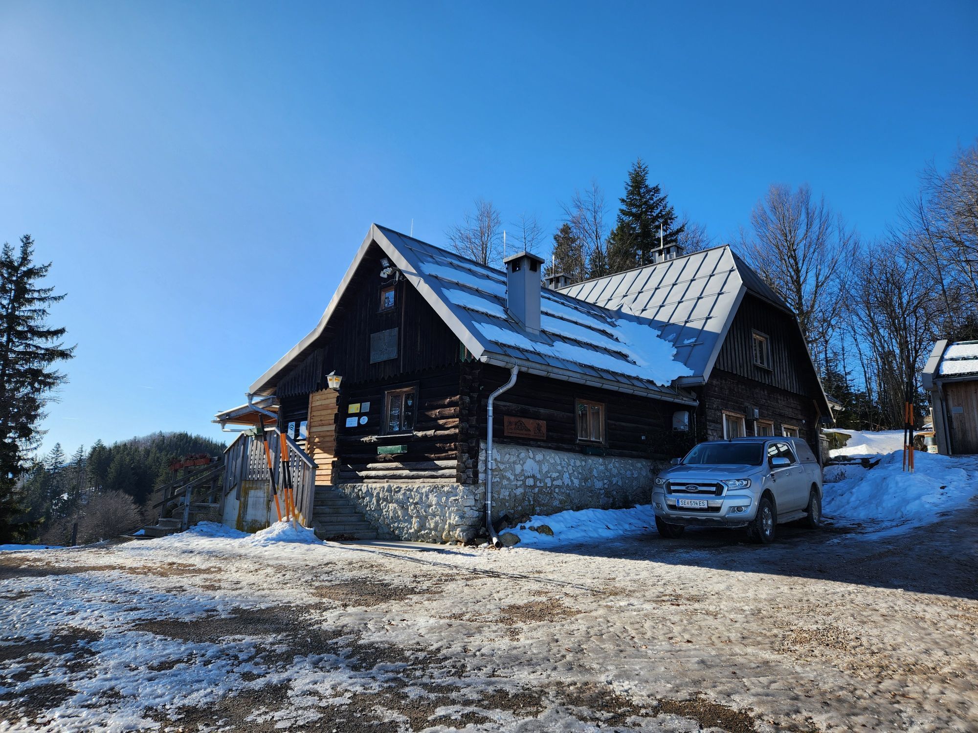
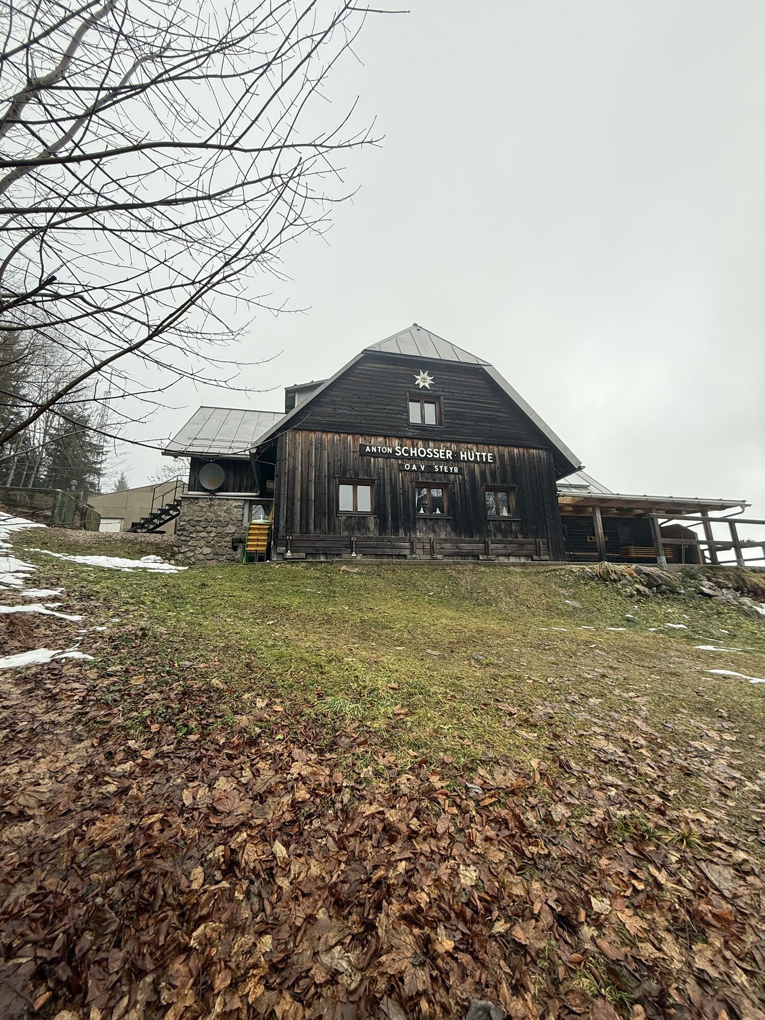
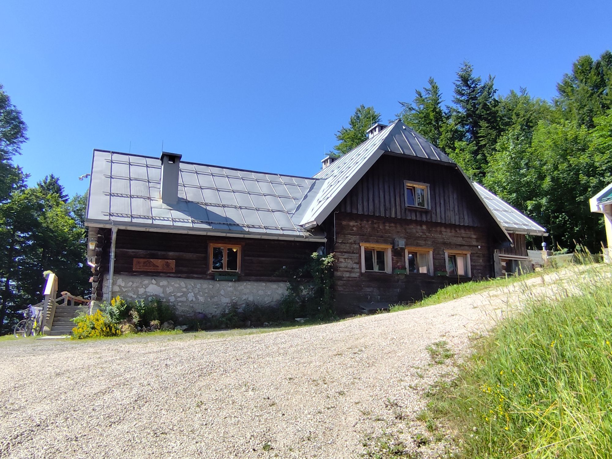
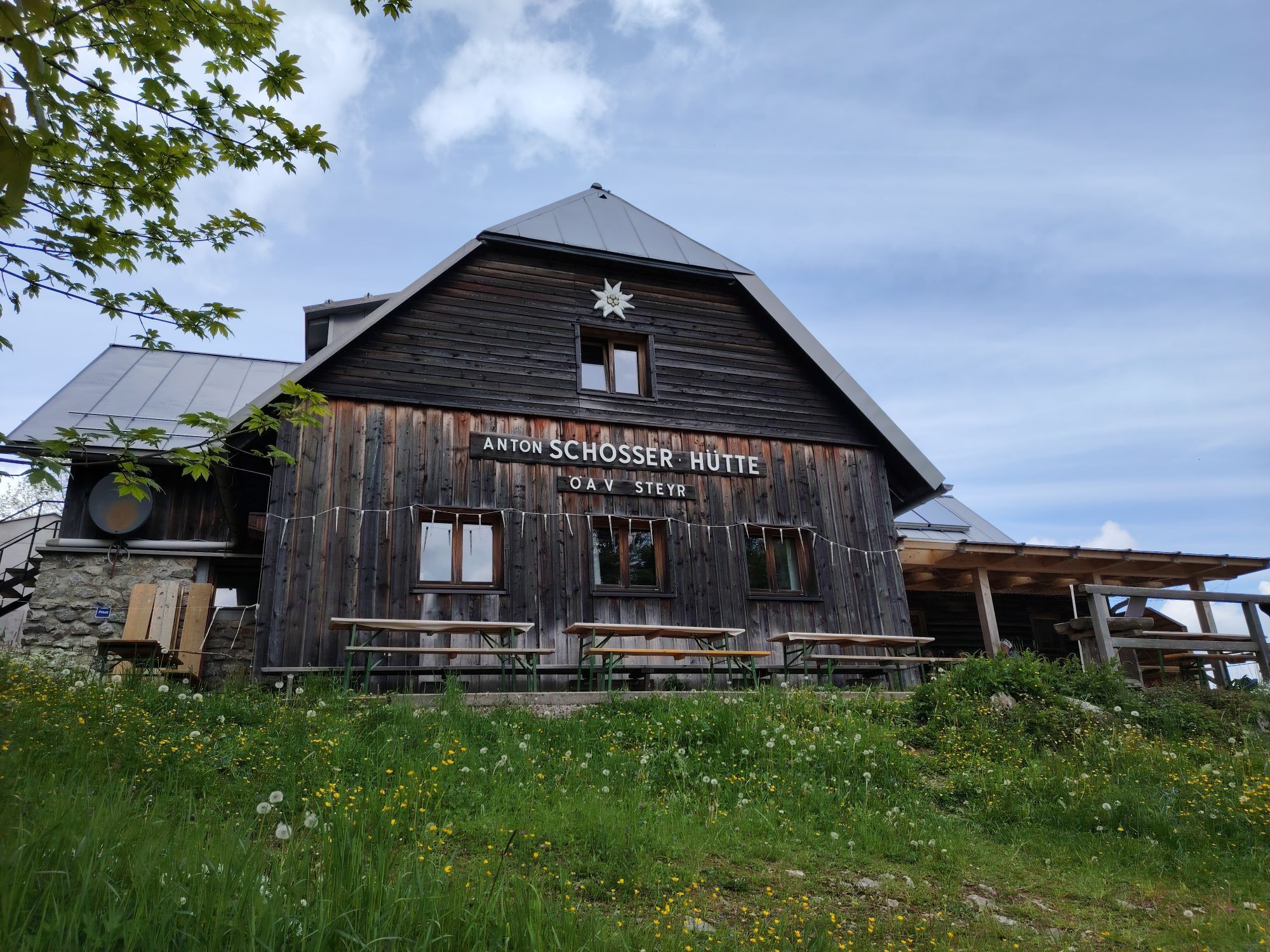
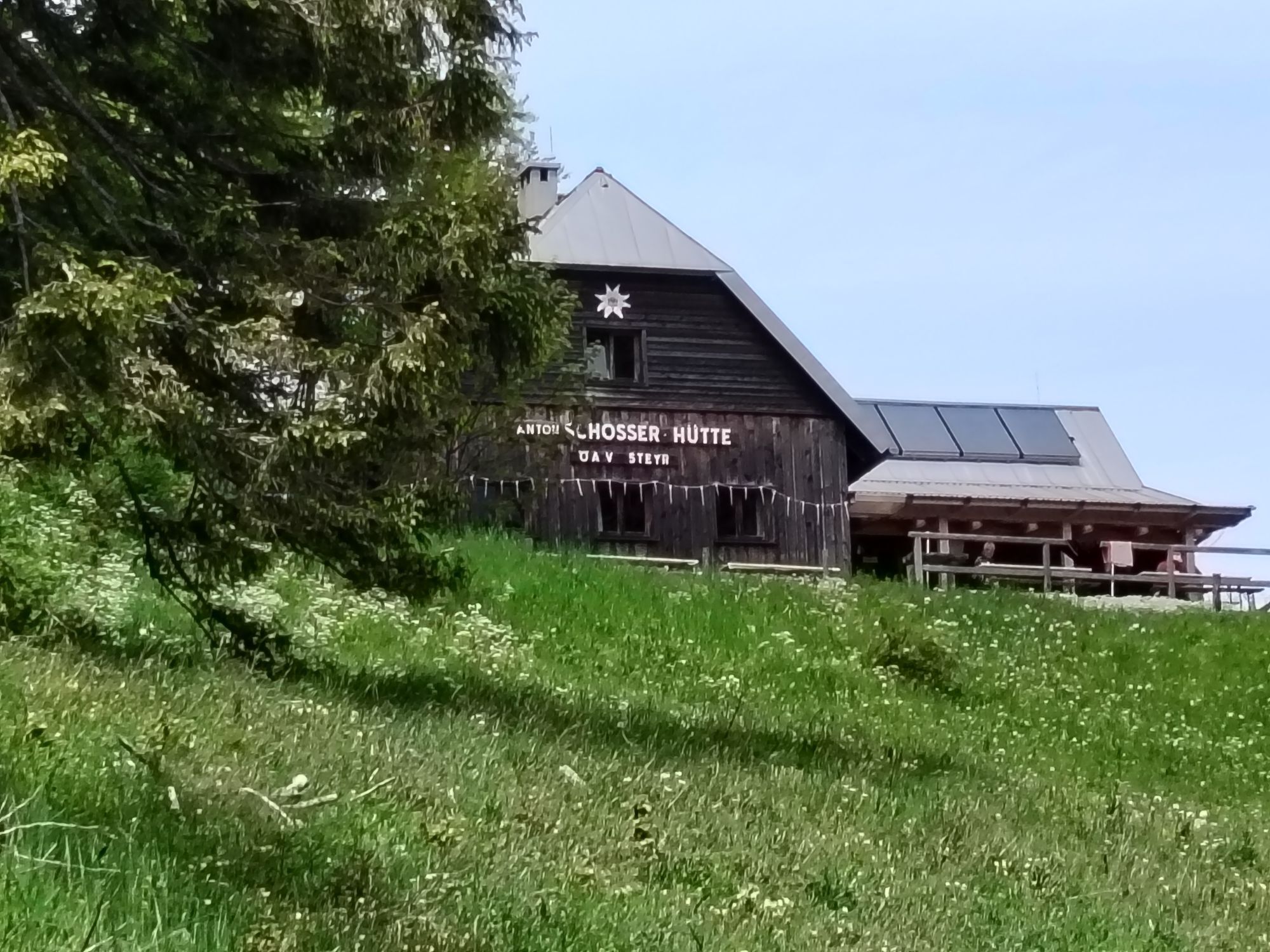
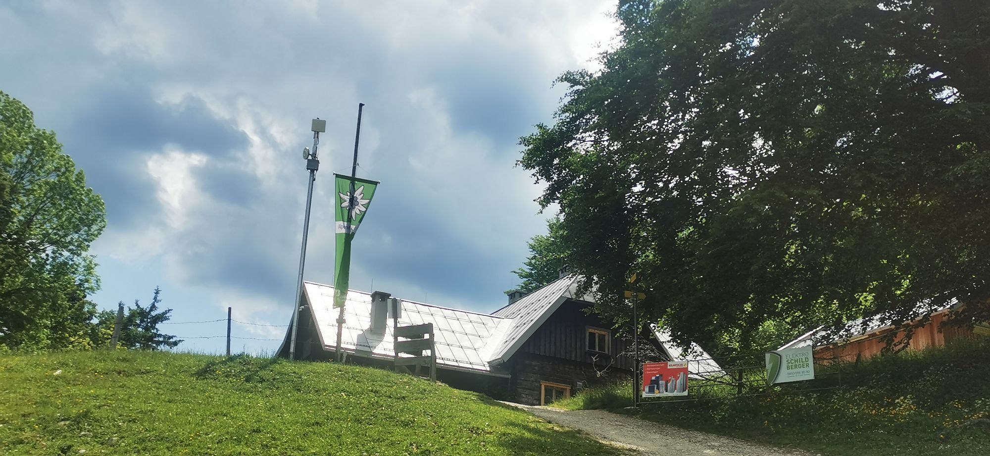
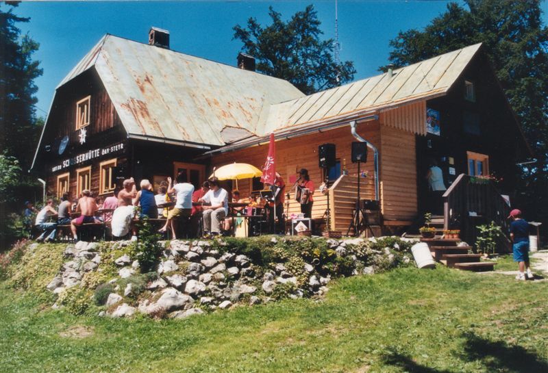
Anton Schosser Hut-Losenstein-Klausgraben


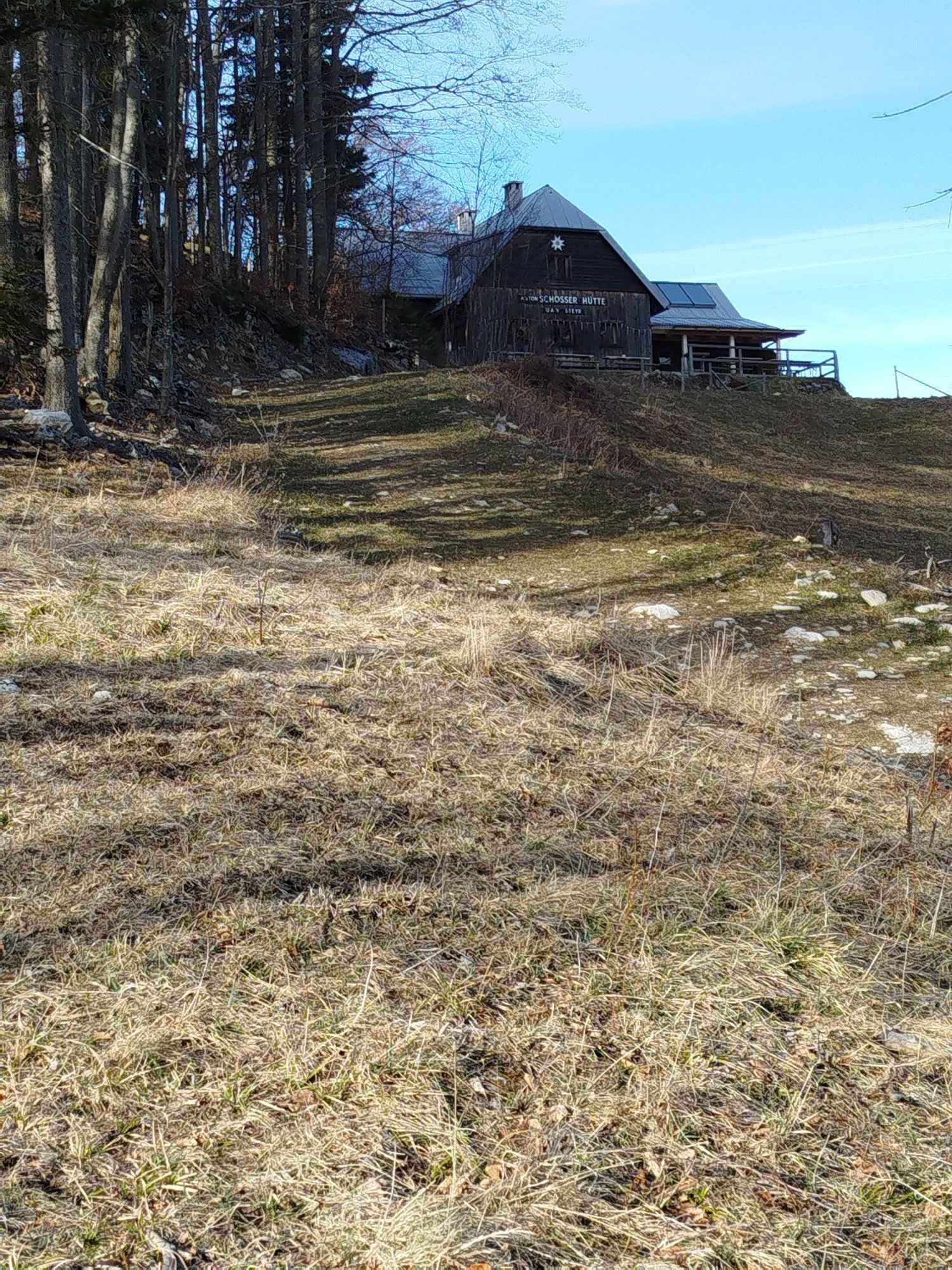


Starting from Losenstein/train station, the hike begins on the left bank of the Enns going upstream, leads through the Klausgraben up the Hintsteingraben, over forest roads and forest paths to Luagstadl...
Starting from Losenstein/train station, the hike begins on the left bank of the Enns going upstream, leads through the Klausgraben up the Hintsteingraben, over forest roads and forest paths to Luagstadl and further to the summit.
Hiking trail: HD5

Starting from the train station along the left bank of the Enns - Goldgrubweg - at the farmhouse Grilln across the railway to the house Ebenführer, following the markings over stairs, secured paths and two fords with stepping stones through the stream and past a waterfall into the gorge forest. Once at the top, the path leads up into the Hintsteingraben and after the “Bauern-Blasl” turns left over the forest road and along the forest path to Luagstadl or further to the summit.
Tak
Tak
Definitely wear sturdy footwear, surefootedness required. Special caution in wet weather!
From Vienna: A1 motorway exit Haag > B42 > B122 > B115 into the Enns Valley
From Passau: A8 Passau > Wels > A1 motorway exit Enns-Steyr > B115 into the Enns Valley
From Graz: A9 Pyhrnautobahn > motorway exit Klaus > Grünburg > into the Ennstal Valley
Details at www.ooevv.at
Railway Stations are located in Steyr, Garsten, Lahrndorf, Dürnbach, Ternberg, Trattenbach, Losenstein, Reichraming, Großraming, Gaflenz, Weyer, Küpfern, Kastenreith, Kleinreifling and Weißenbach-St. Gallen.
Losenstein/parking lot at the train station
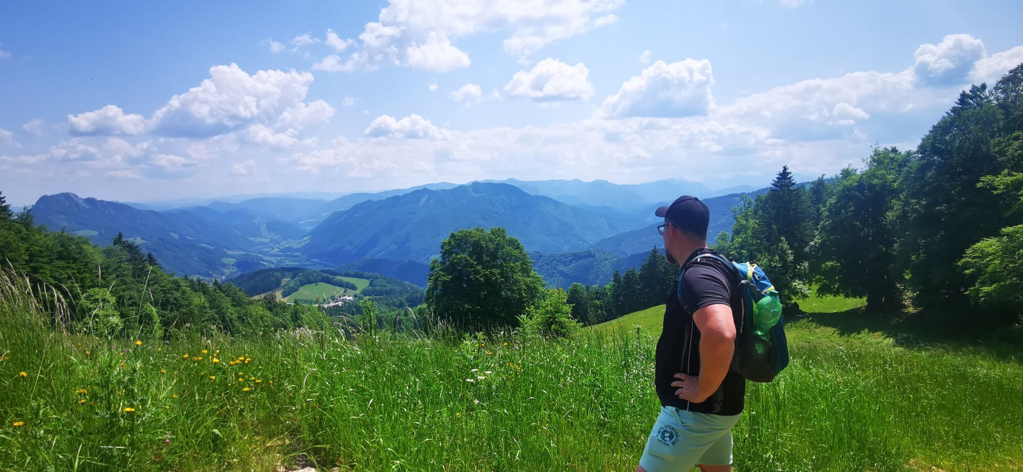
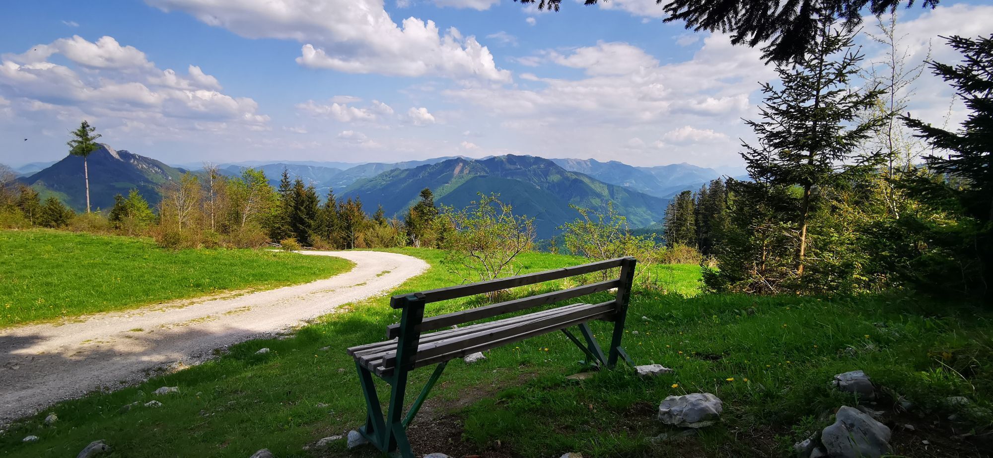
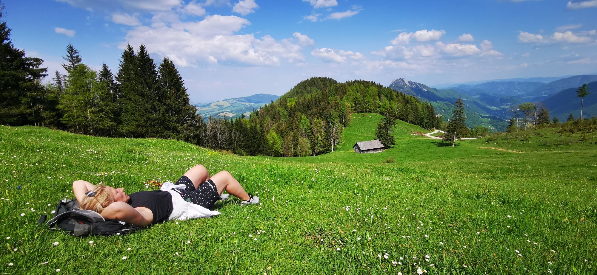
Many trails lead to the Anton Schosser Hut and can be combined into extensive circular hikes with magnificent views:
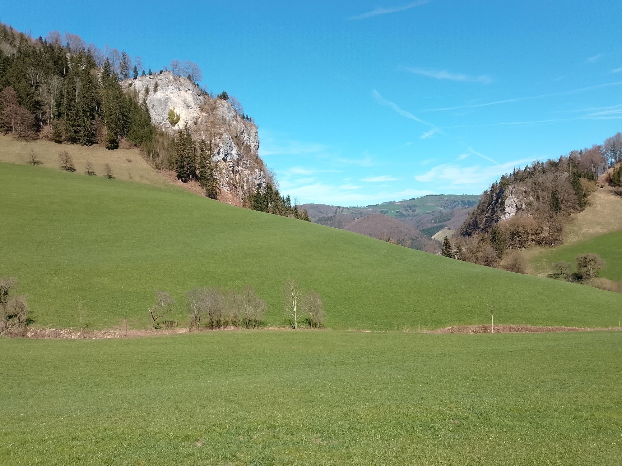
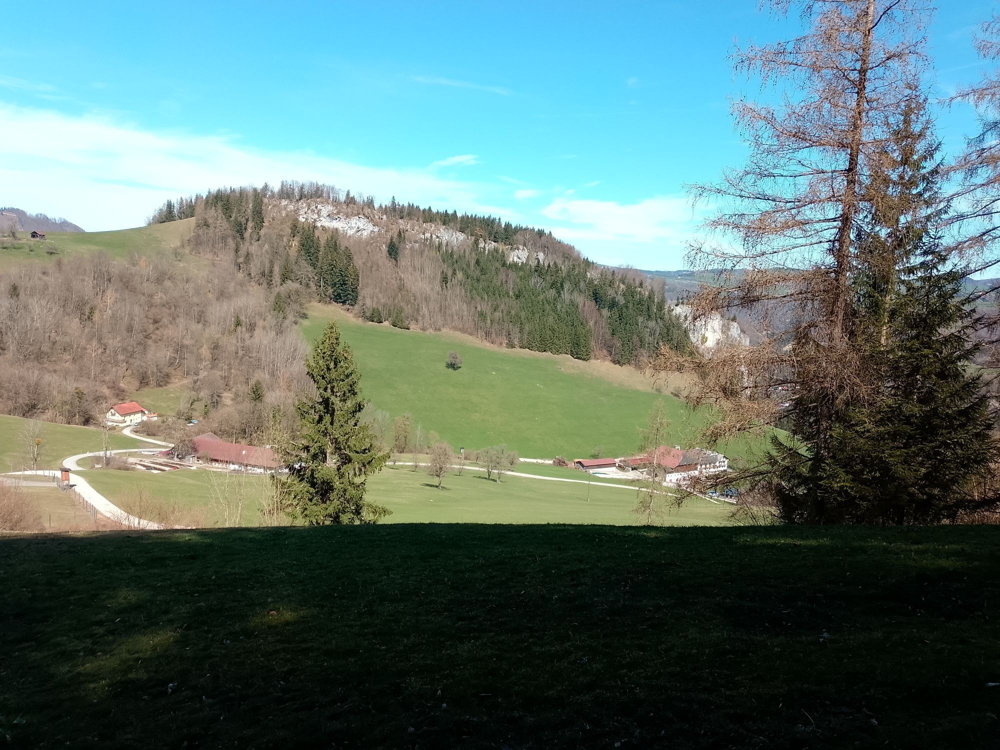
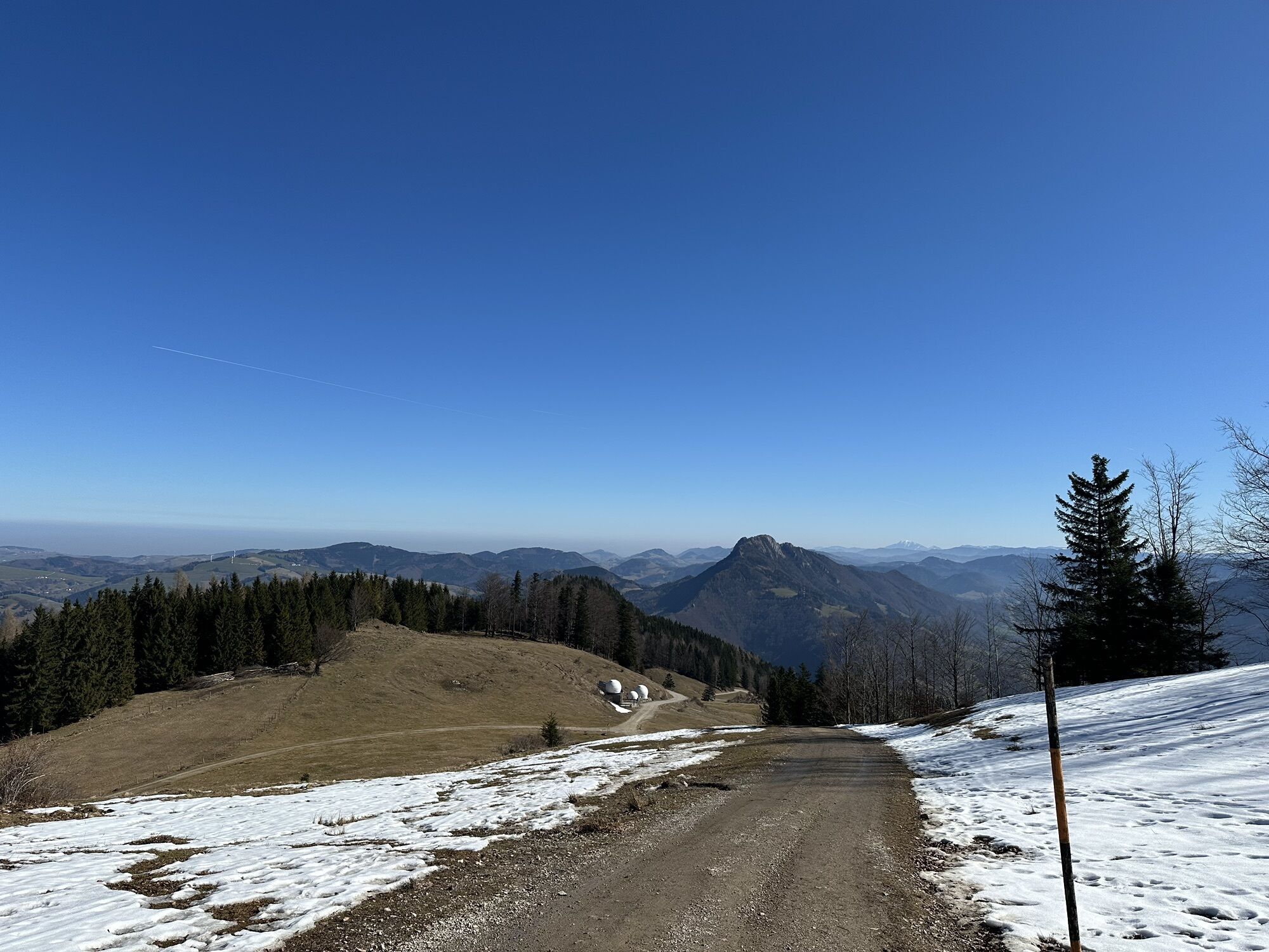
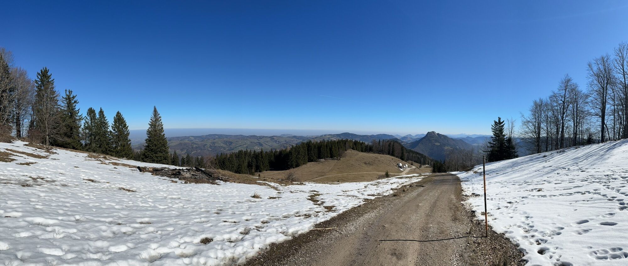
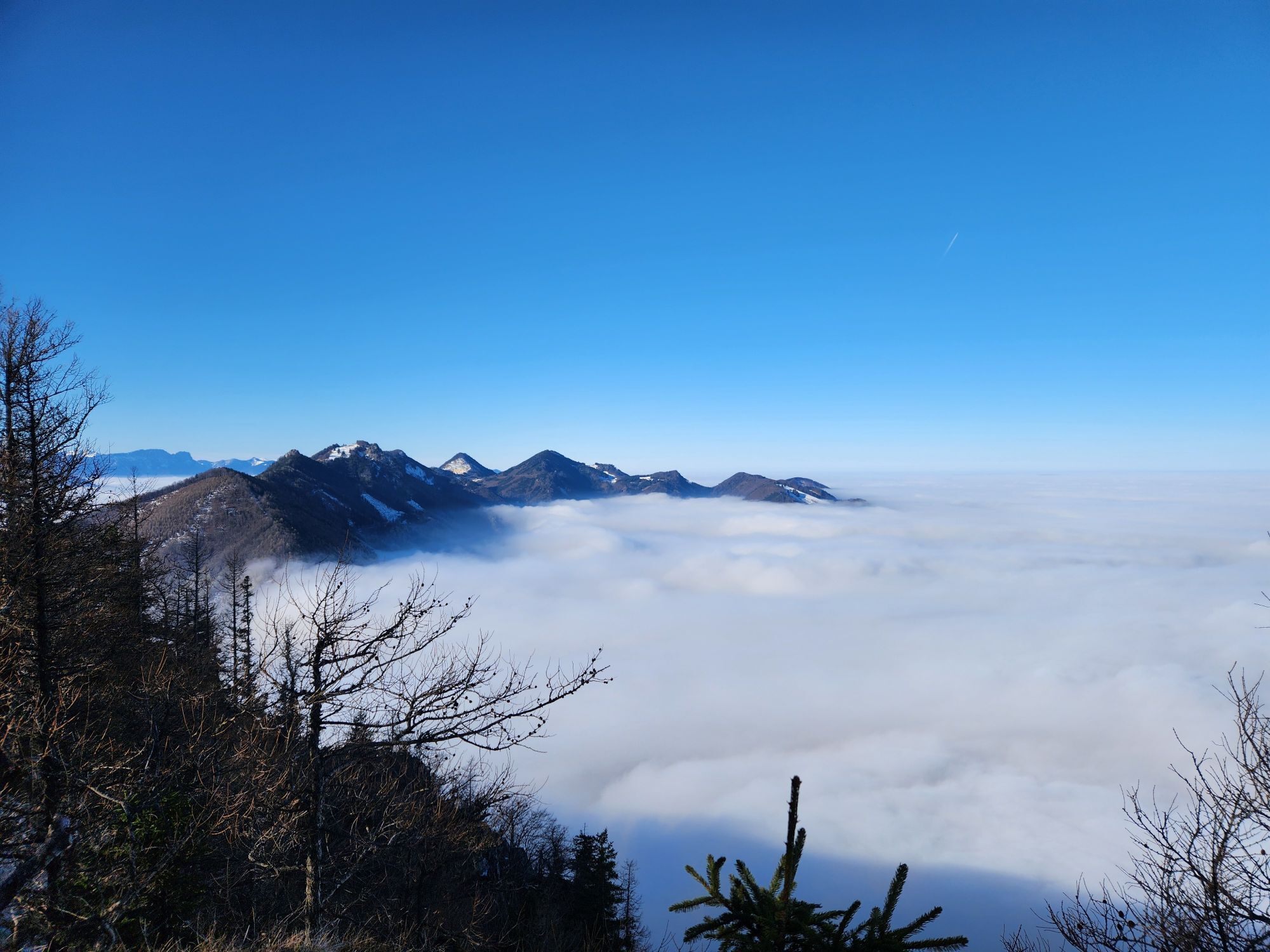
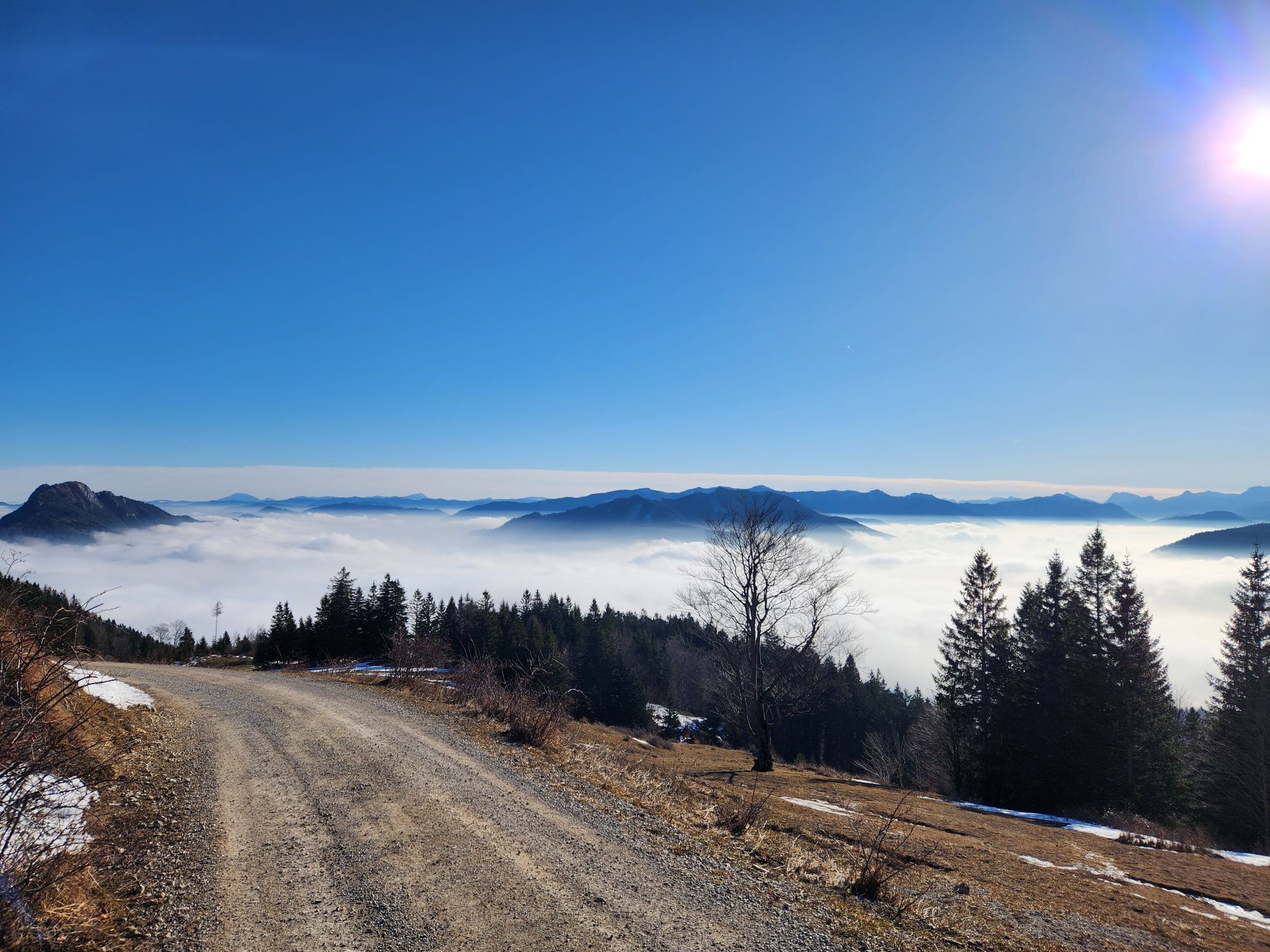
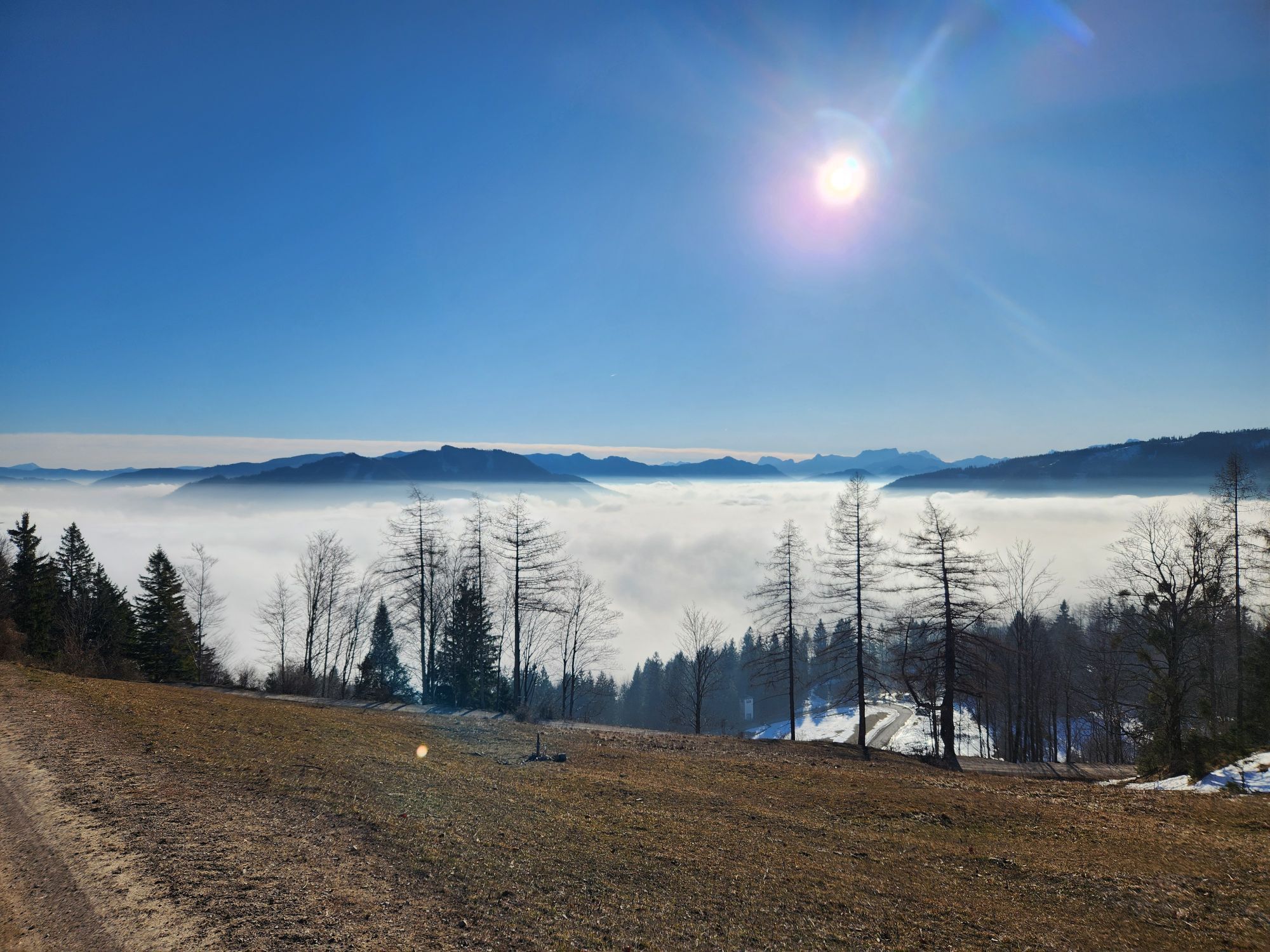
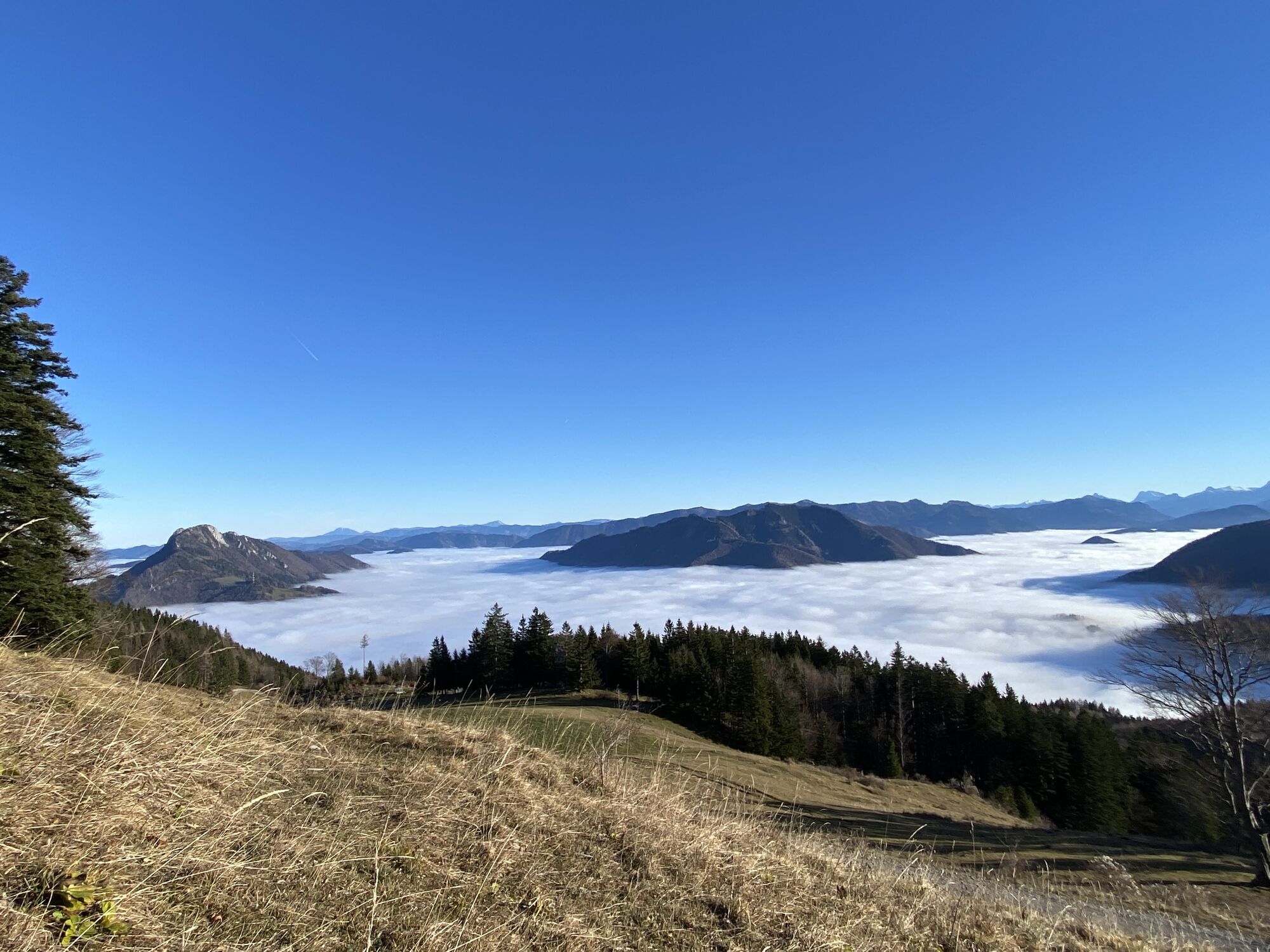
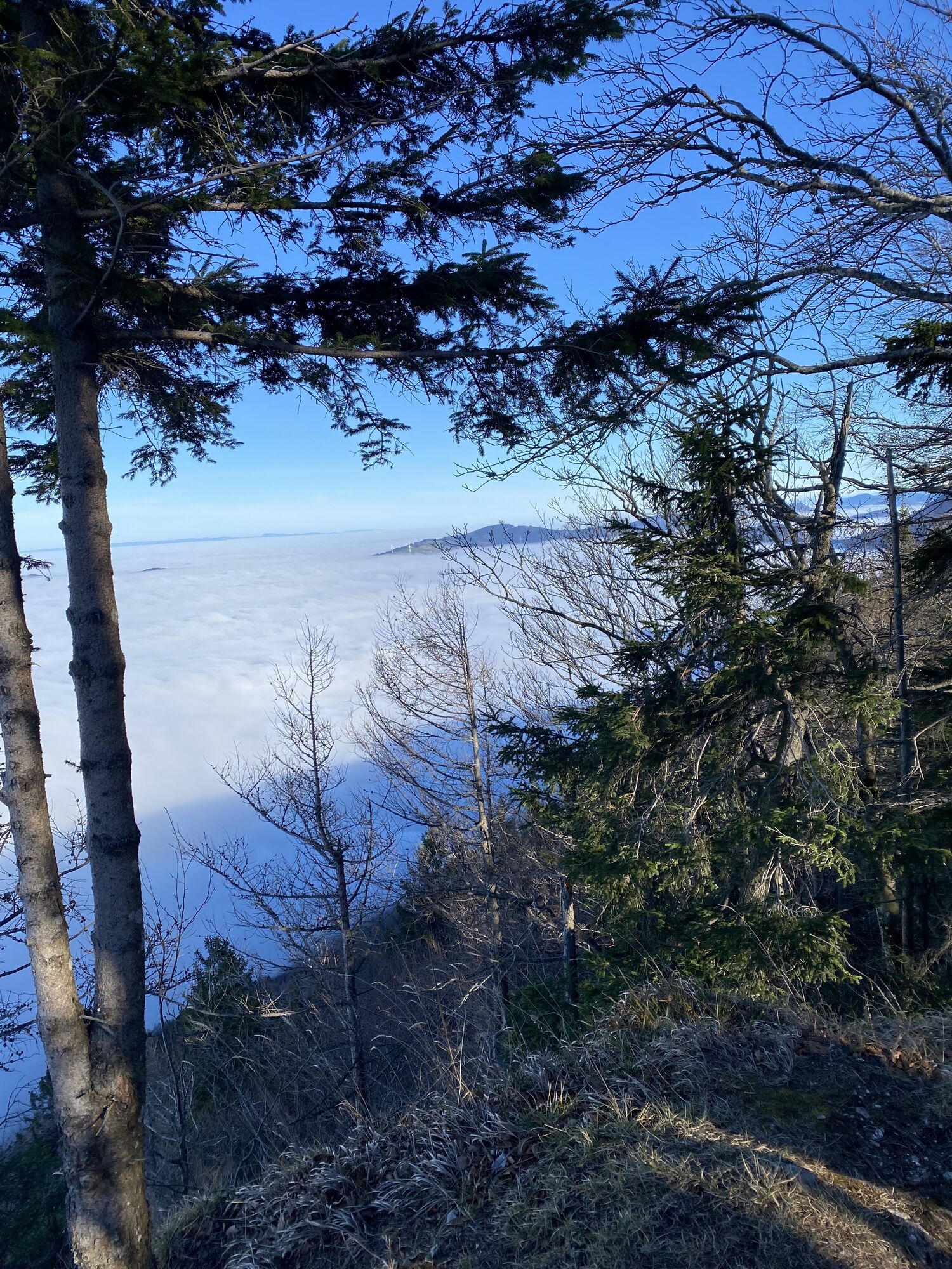
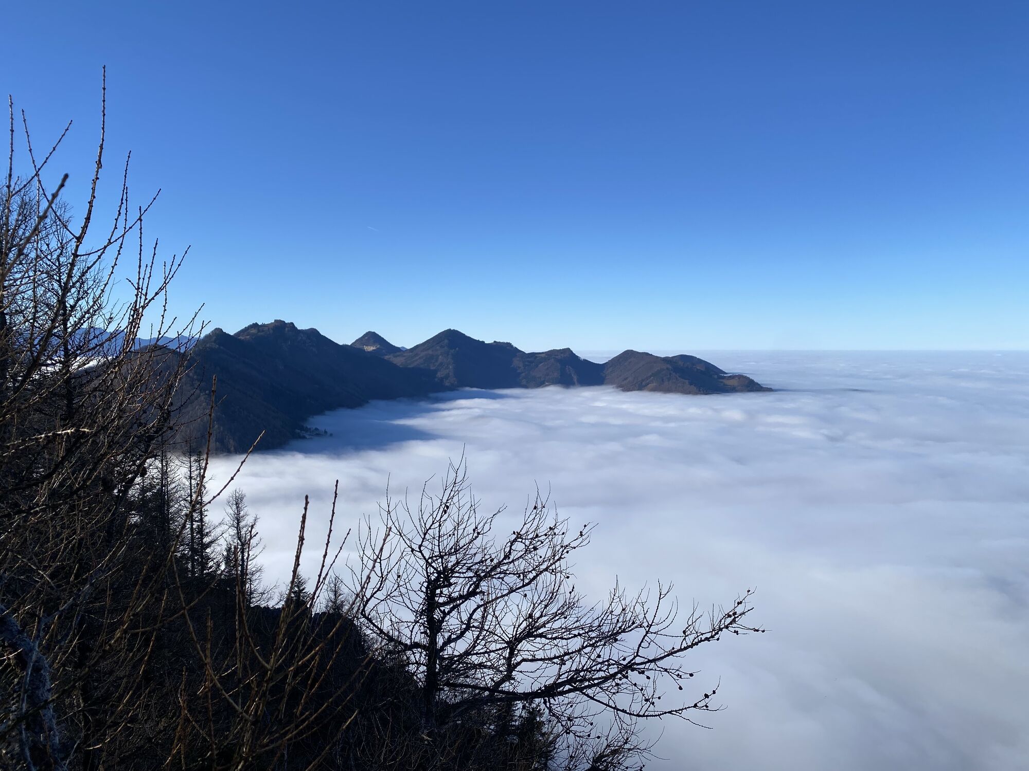
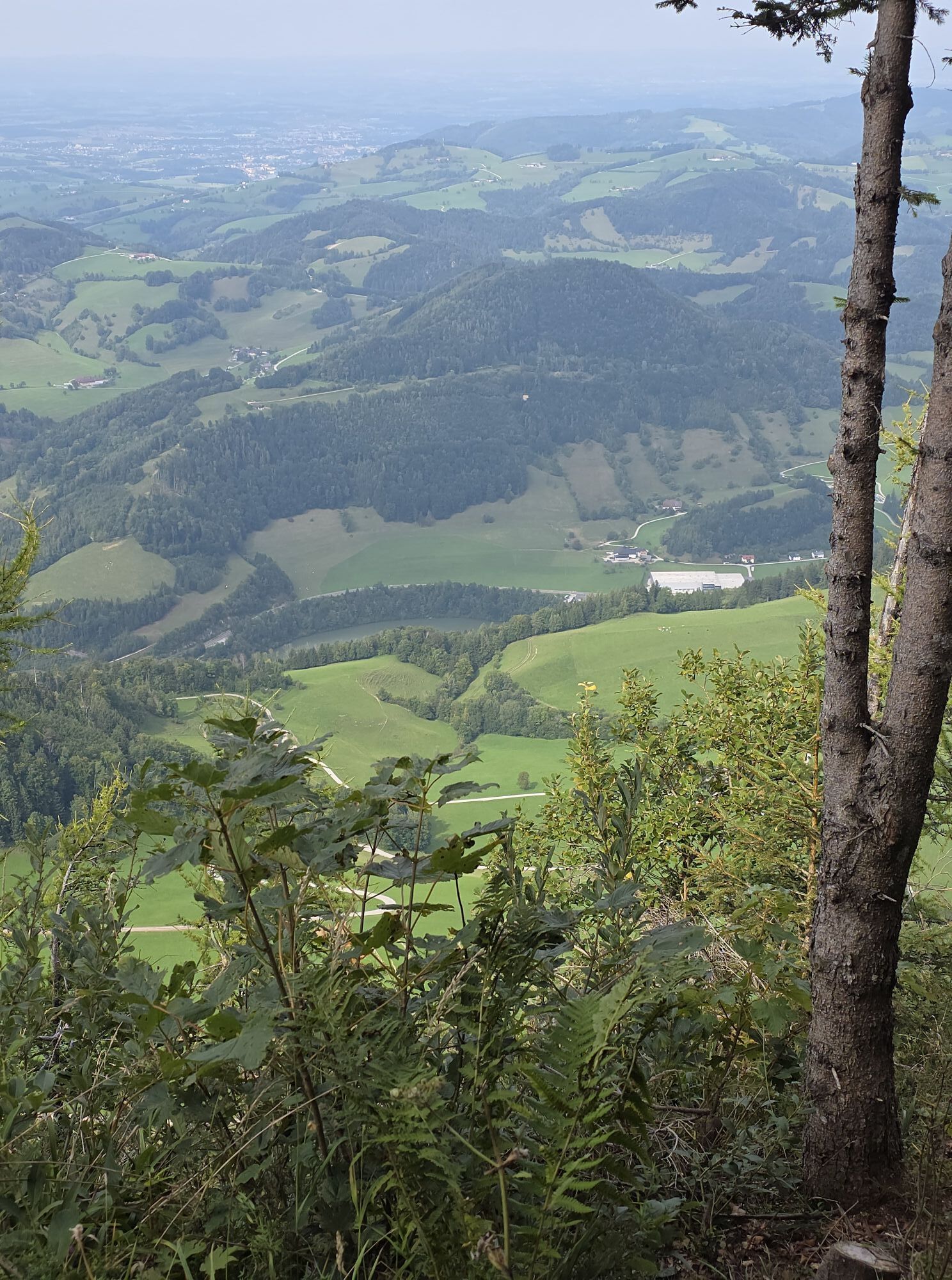
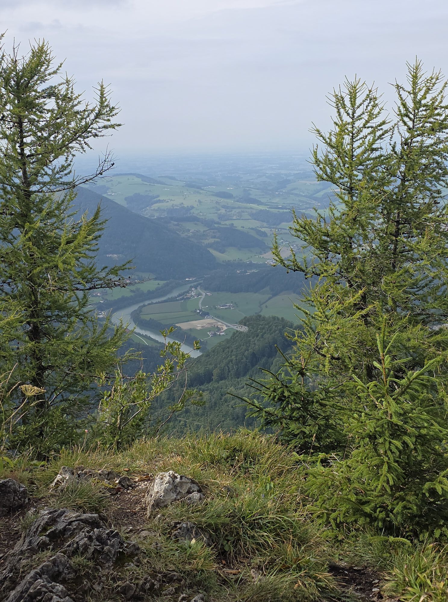
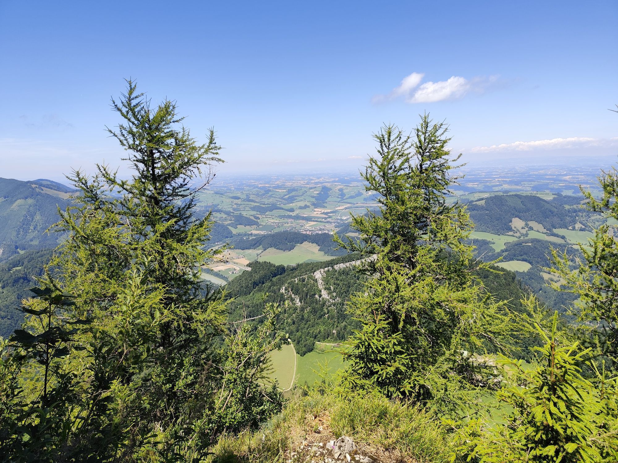
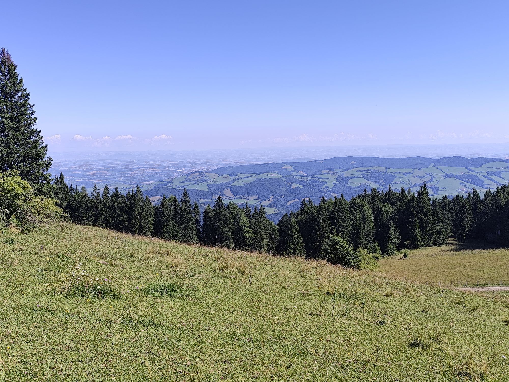
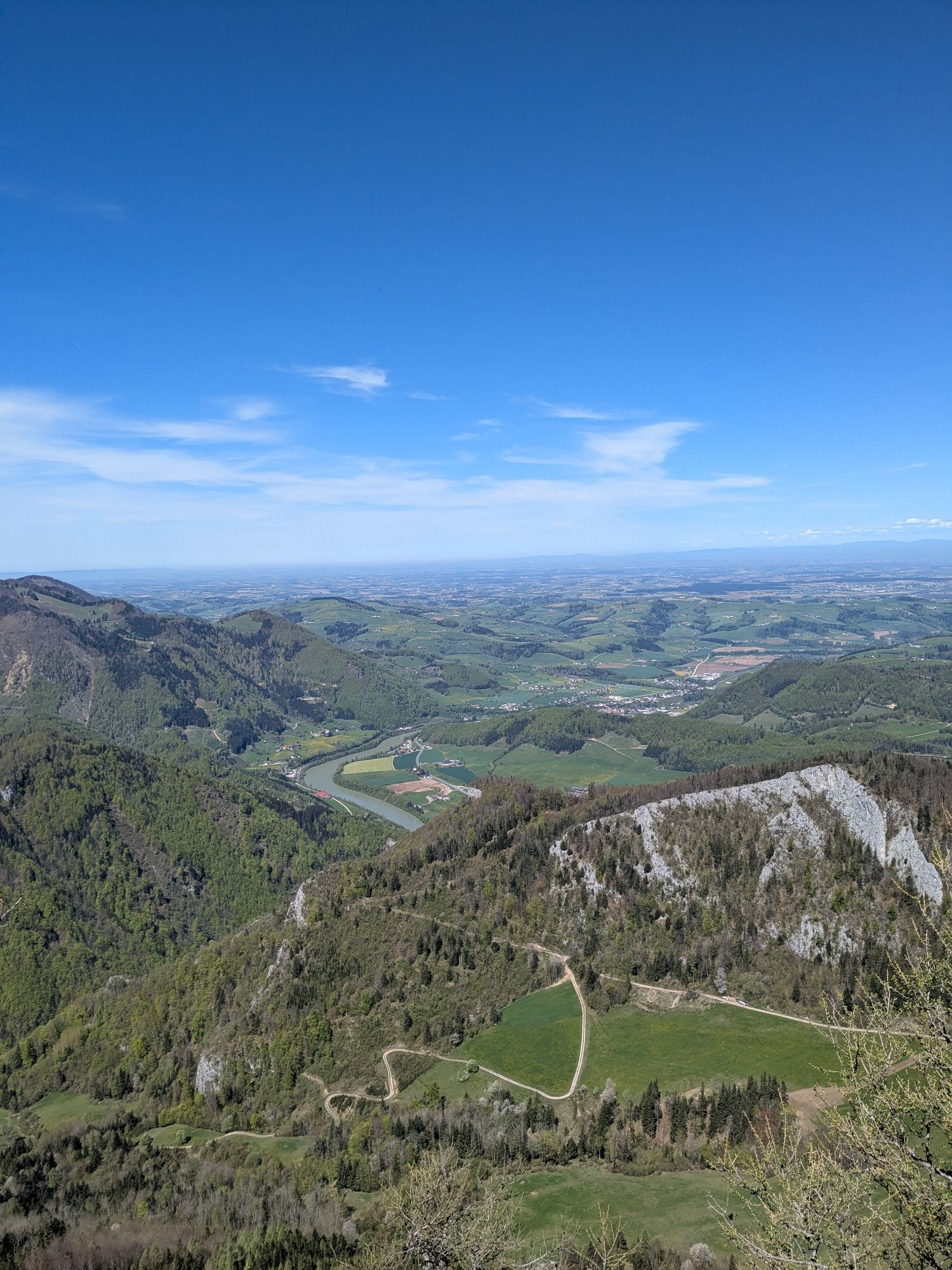
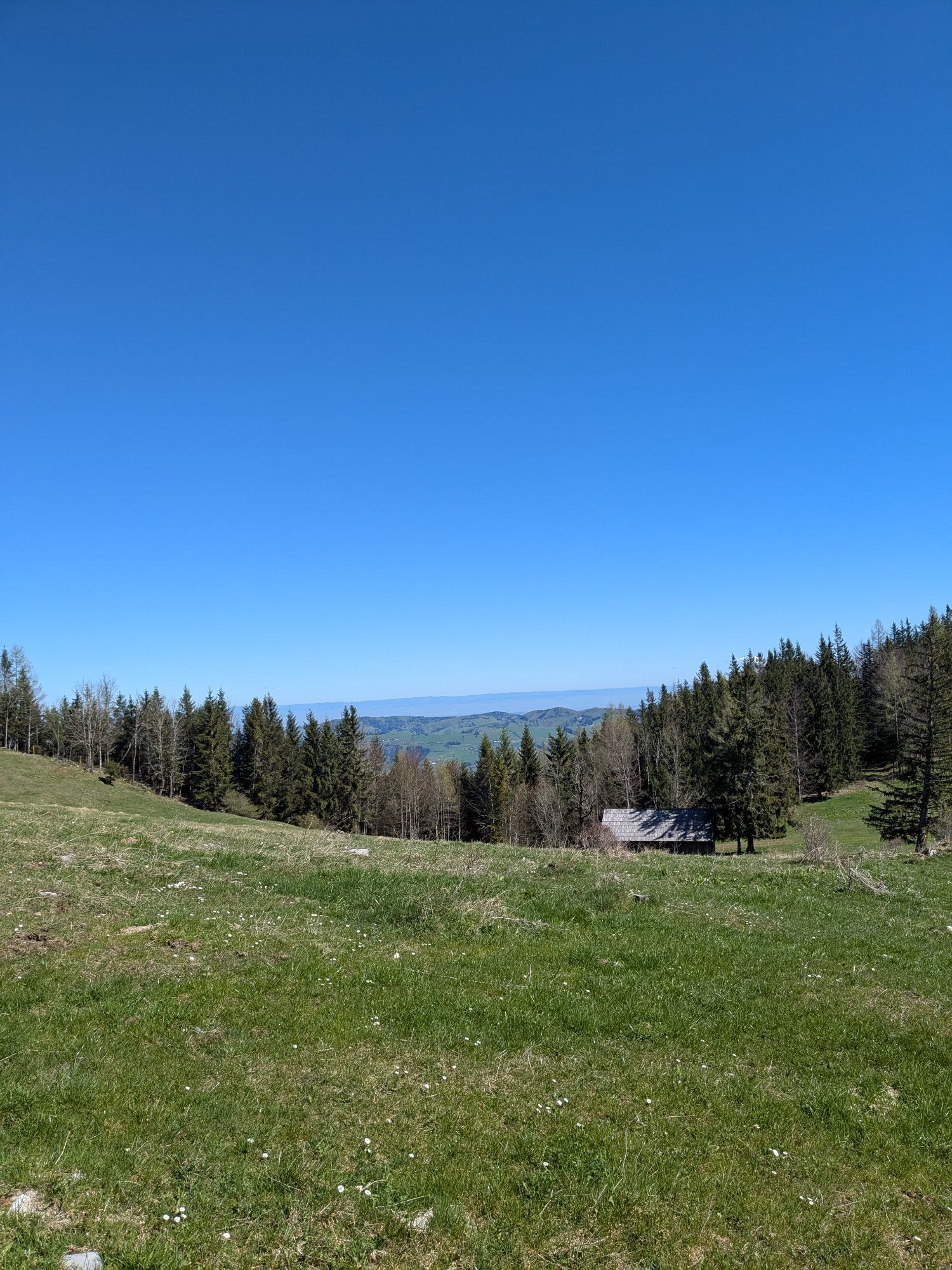
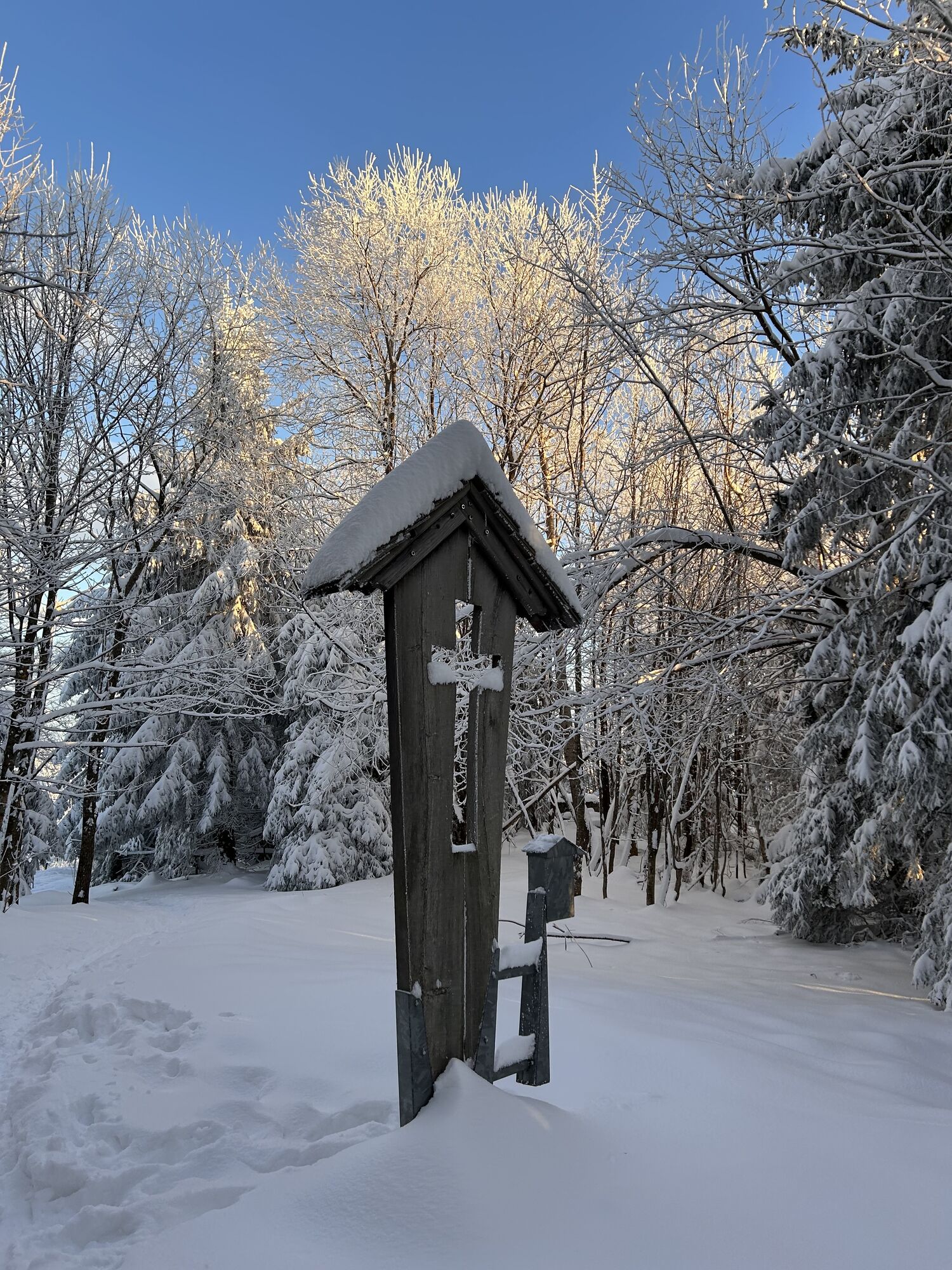
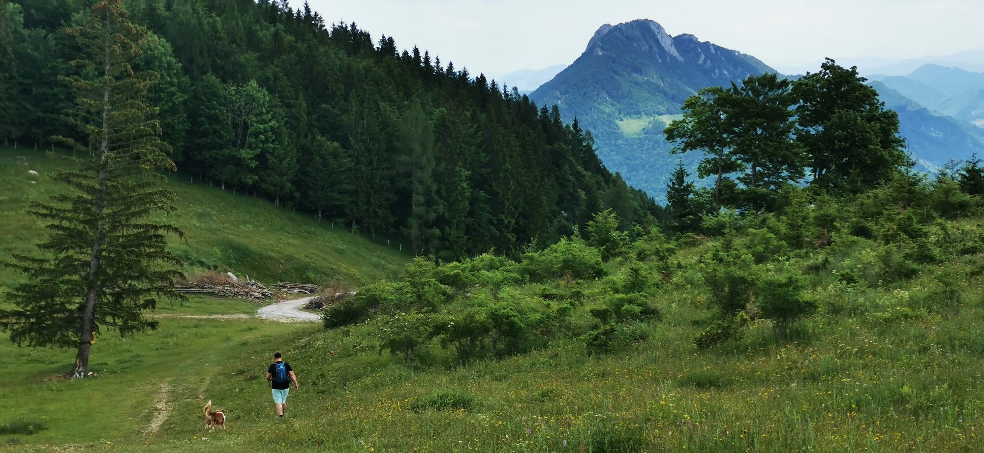
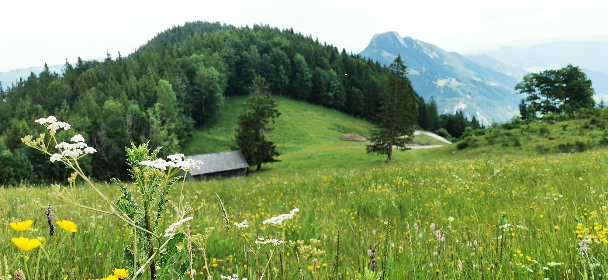
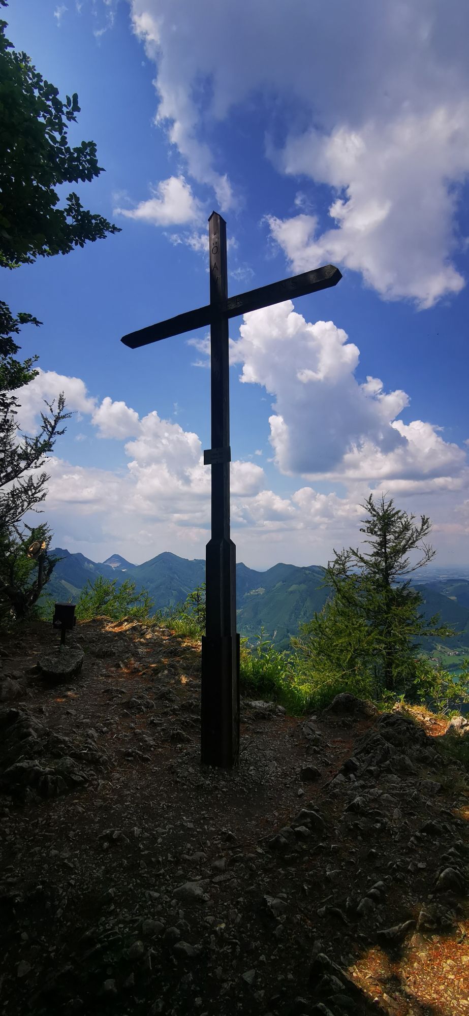
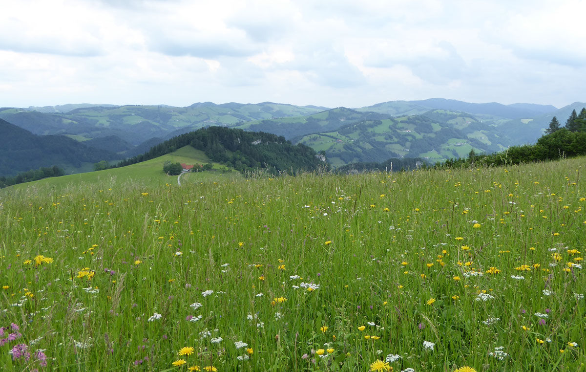
From Reichraming via the Gschliffner Höhe or Gfallnau From Reichraming via the Rohrbachgraben From Losenstein via Alpine Club trail no. 467 From Ternberg/Trattenbach via the alpine inn Klausriegler and the MösernThe Klausgraben is a wild romantic gorge, bounded by towering limestone cliffs. A very special flora and fauna has developed in the humid climate of the gorge forest, which is unique at this altitude.

Popularne wycieczki w okolicy
- 4,9
Ennser Hut - Almkogel (from Bamacher car park)
średniWędrówka 3,53 km - 4,7
Grünburger Hut via Dorngraben Molln
średniWędrówka 3,43 km - 4,6
Schoberstein (from Molln)
średniWędrówka 3,63 km - 4,8
Steinerner Jäger (1185m) und Schieferstein (1206m) ab Parkplatz Hochhabichler
średniWędrówka 4,46 km - 4,6
Rinnende Mauer - Gorge Trail
średniWędrówka 7,20 km - 4,7
GROSSRAMING Bamacher, Burgspitz, Almkogel, Ennshütte 20240730
średniWędrówka 10 km - 4,6
Pfaffenmauer - Schoberstein - Gipfel der Lust Gasthof Klausriegler, Oberösterreich/Österreich
średniWędrówka 9,72 km - 4,5
Dürres Eck - Gaisberg - Hochbuchberg
średniWędrówka 11,2 km - 4,5
Ternberg -Schoberstein
średniWędrówka 6,60 km - 4,7
Steinerner Jäger (1185m) und Schieferstein (1206m) ab Parkplatz Hack
ciężkiWędrówka 8,58 km

Wędrówki i tropienie


Nie przegap ofert i inspiracji na następne wakacje
Twój adres e-mail została dodana do listy mailingowej.