







Ridge trail Dürrensteig ridge
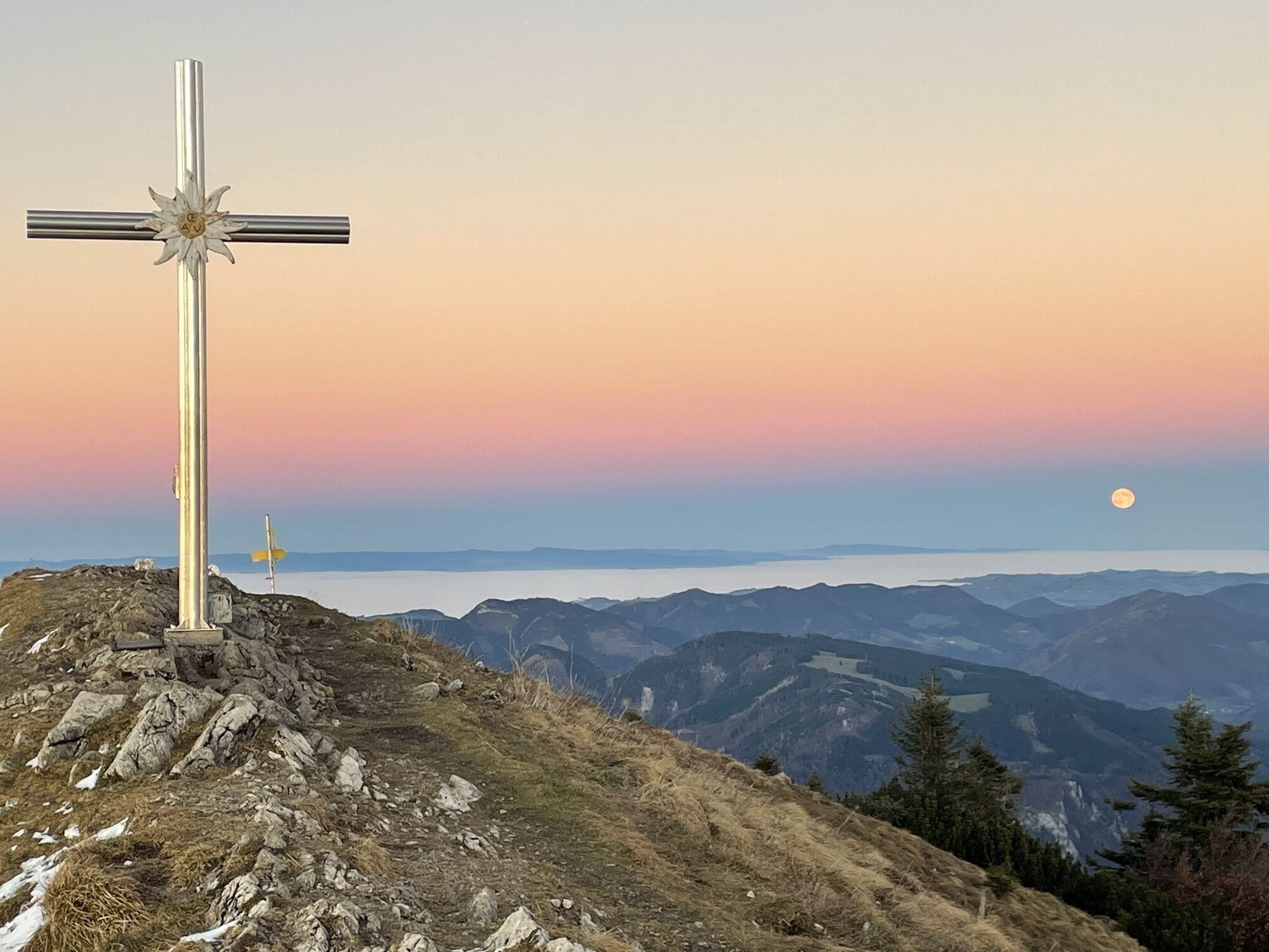
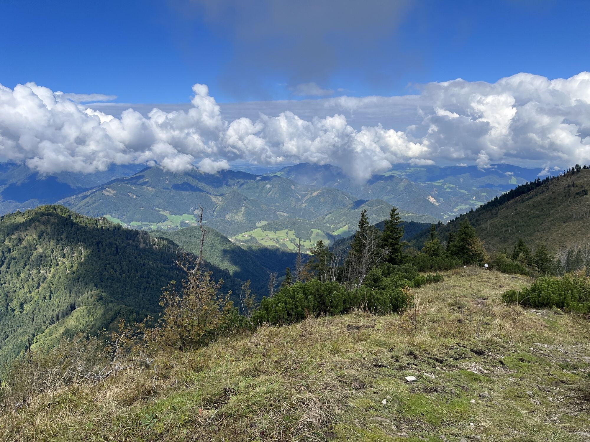
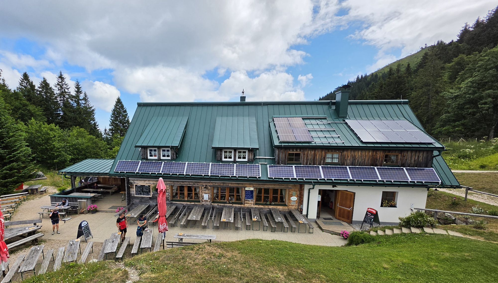
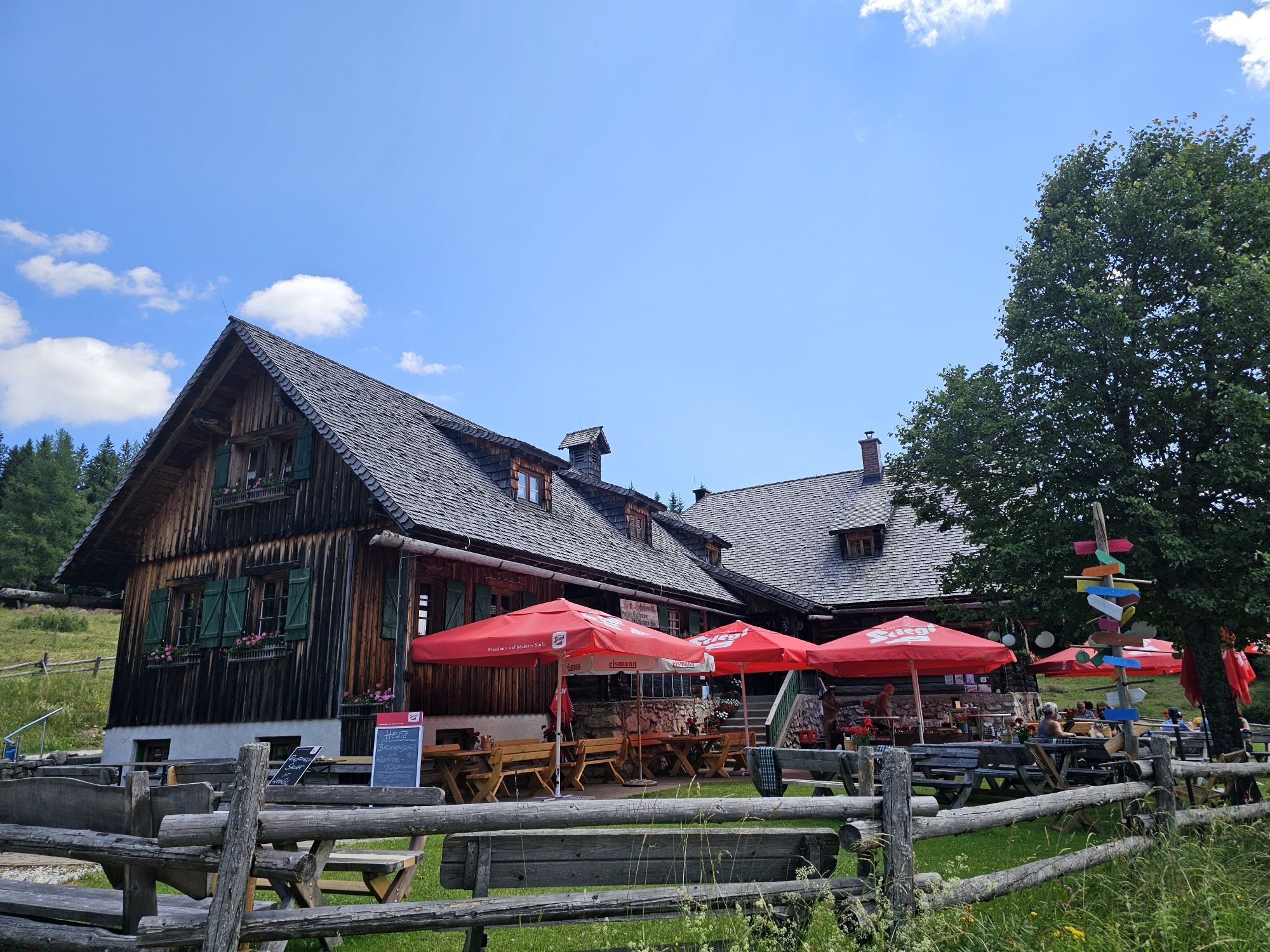
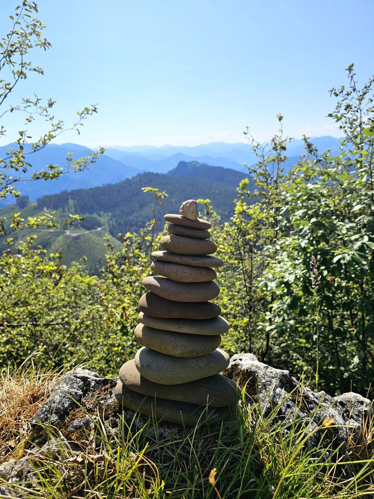
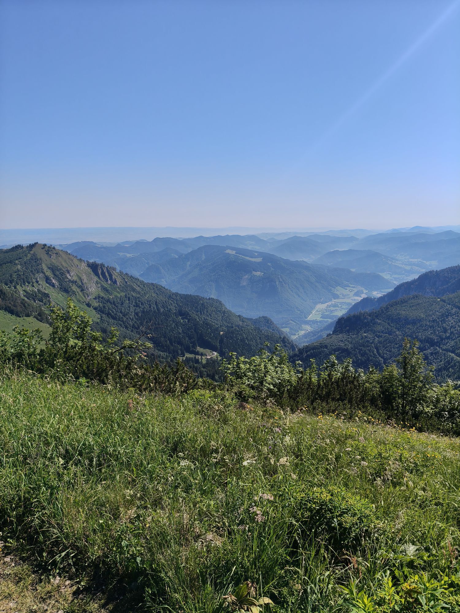
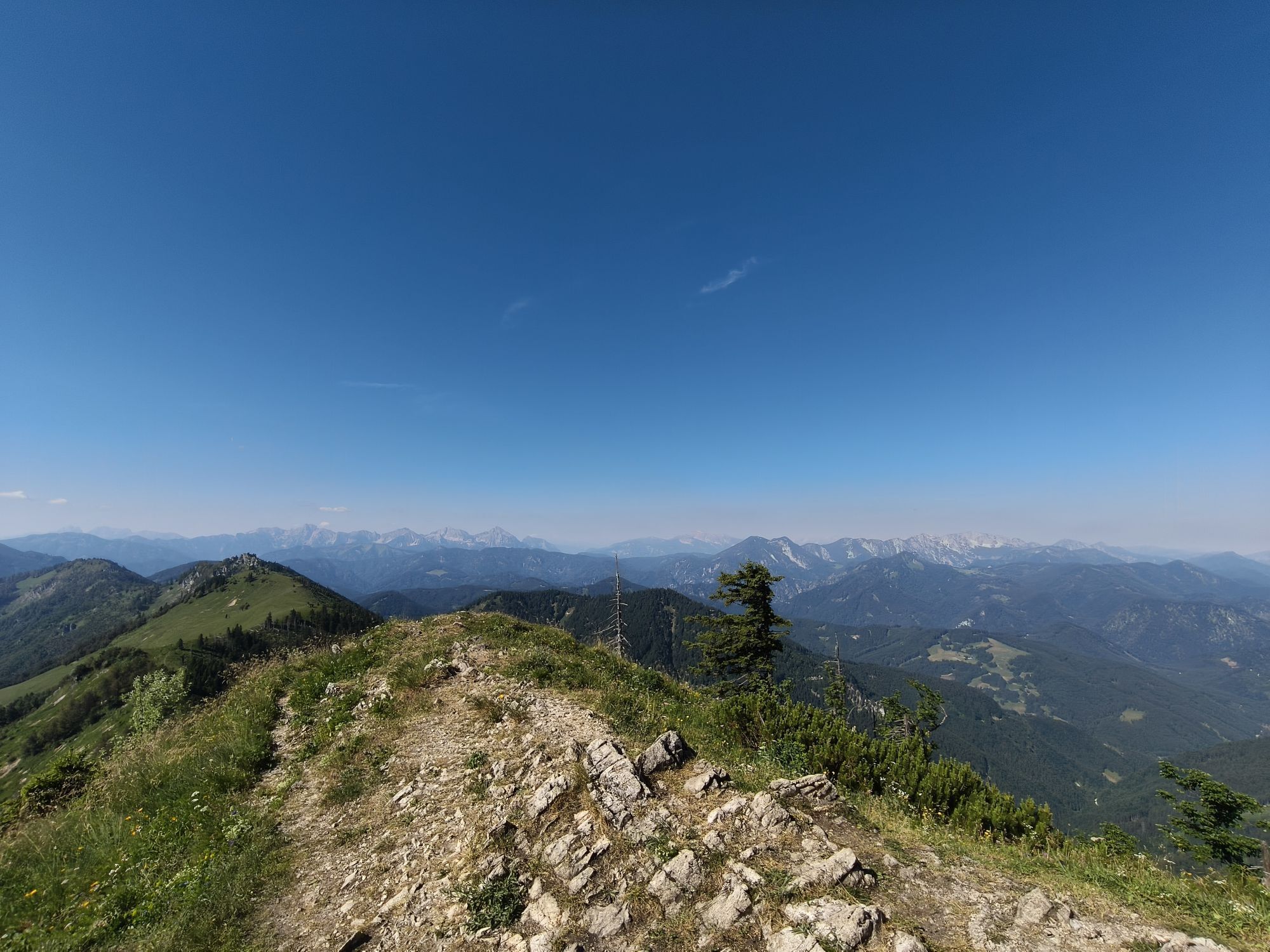
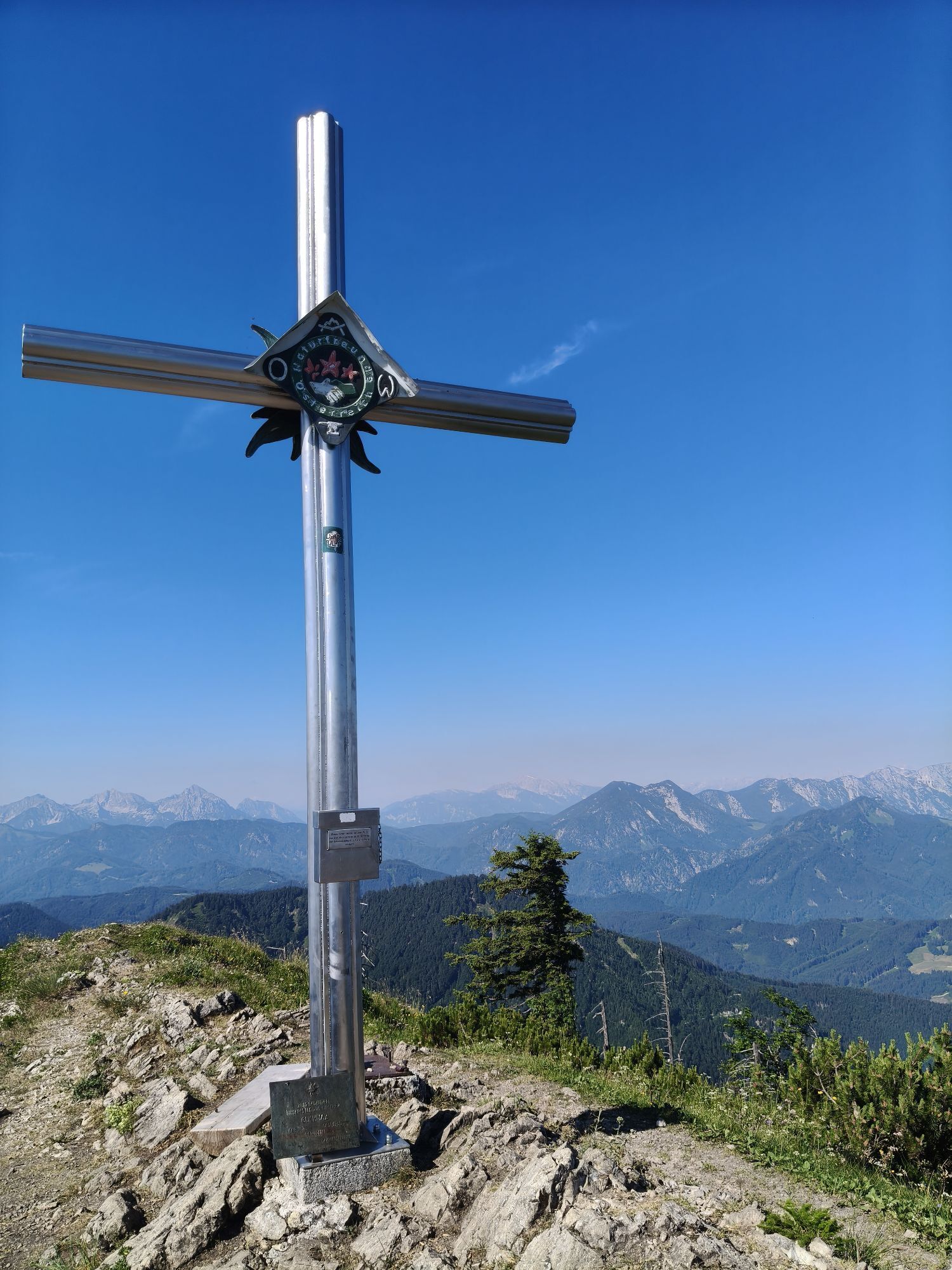
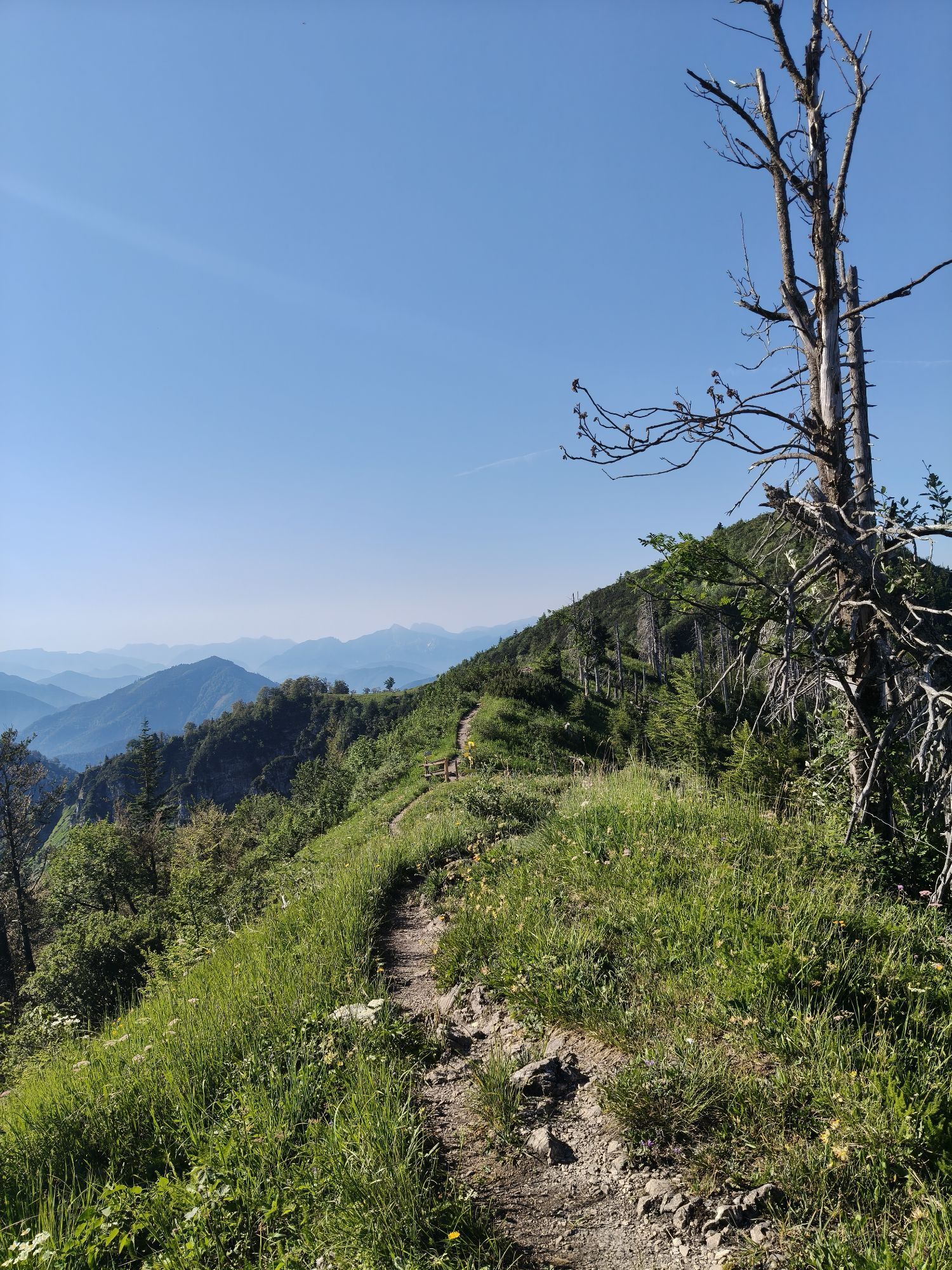
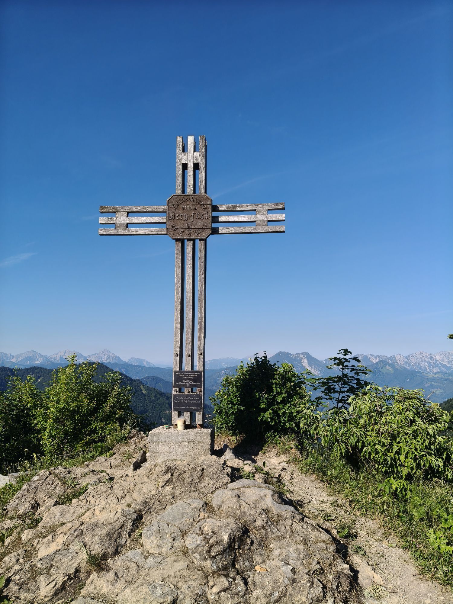
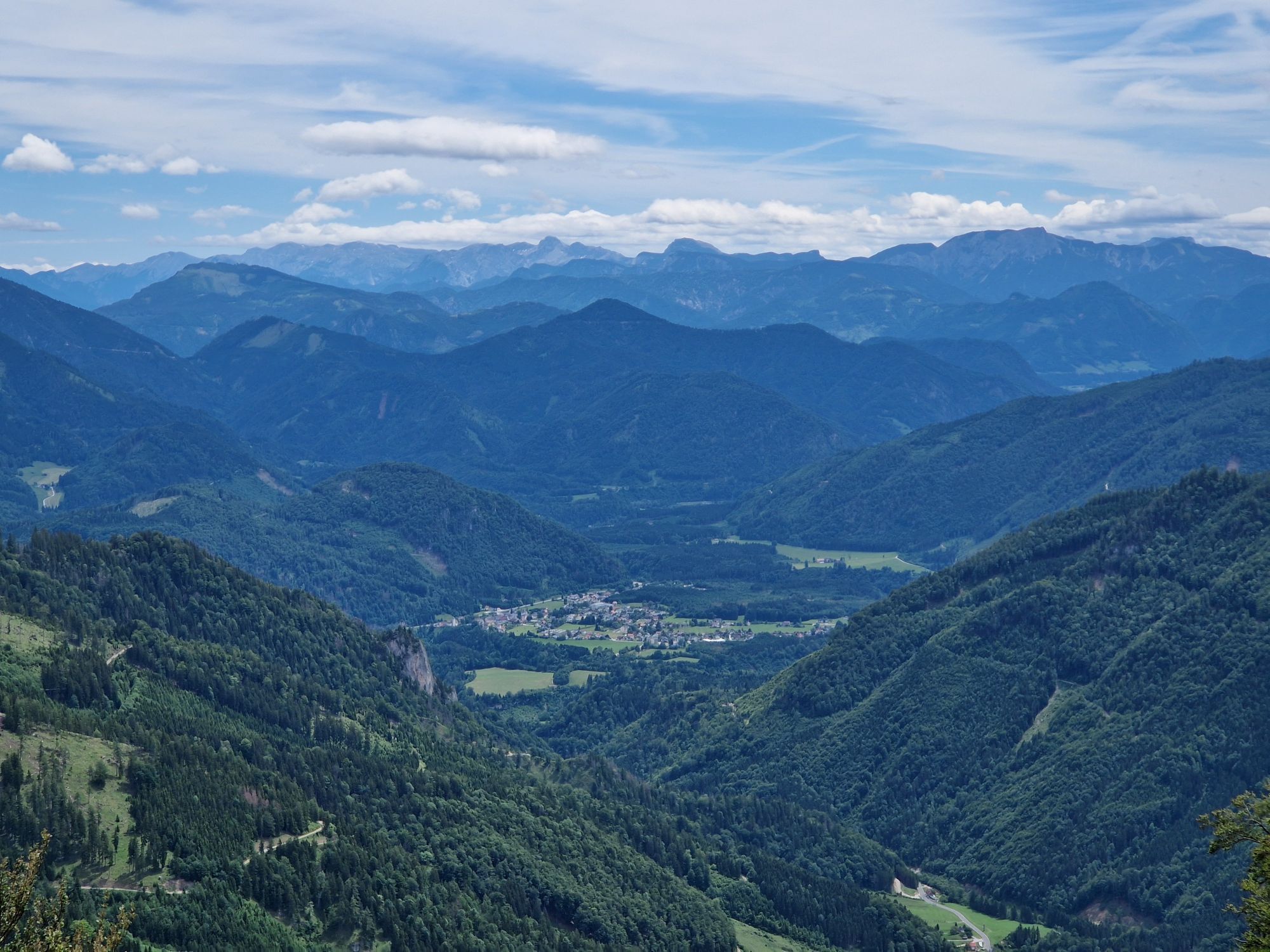
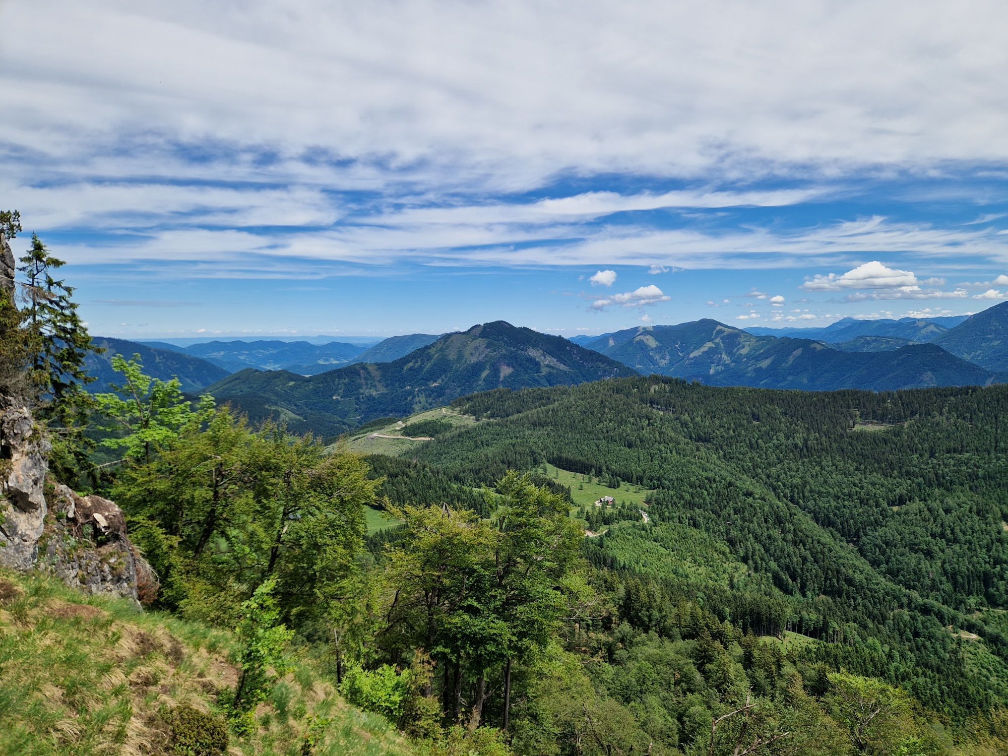
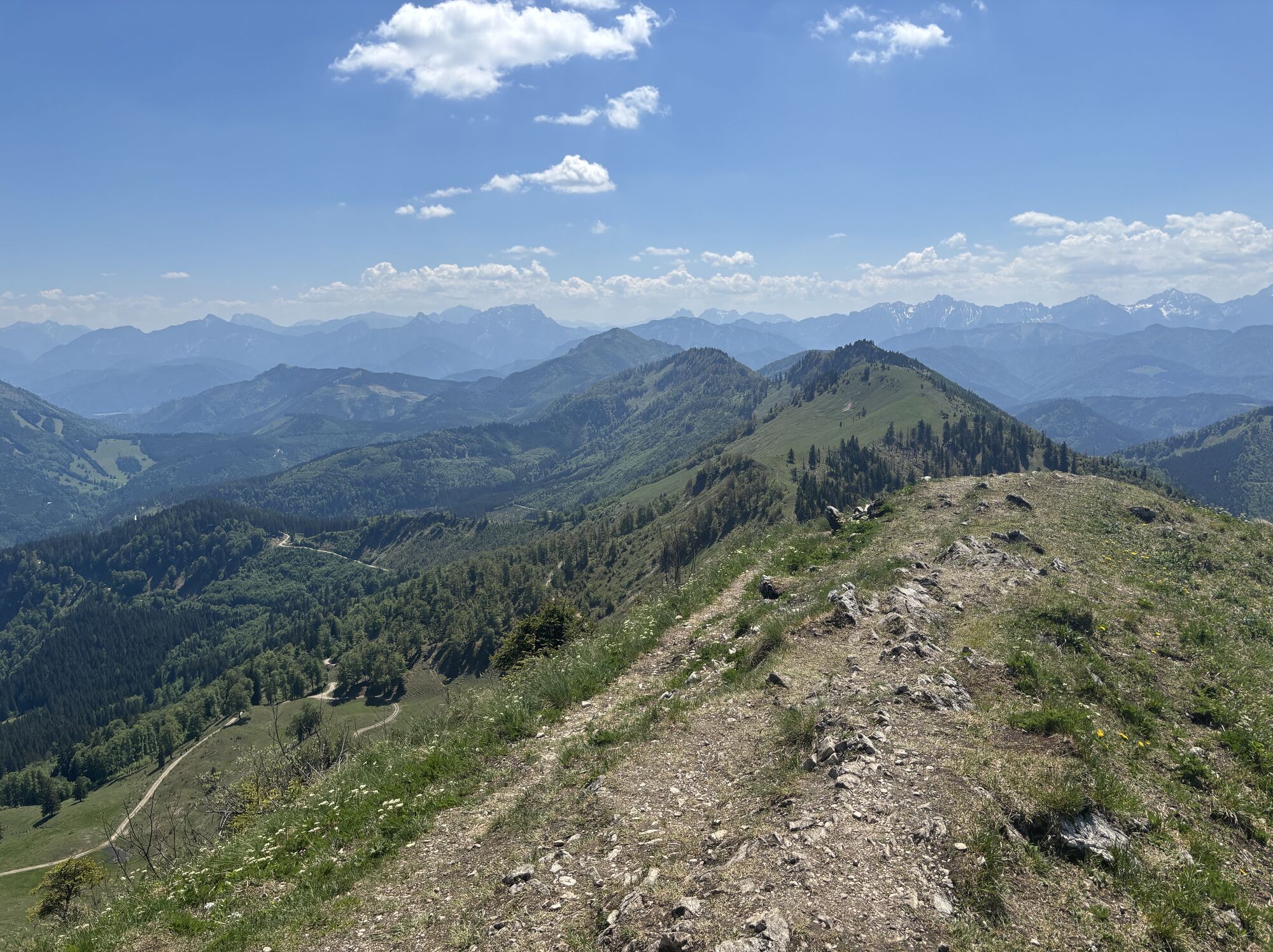
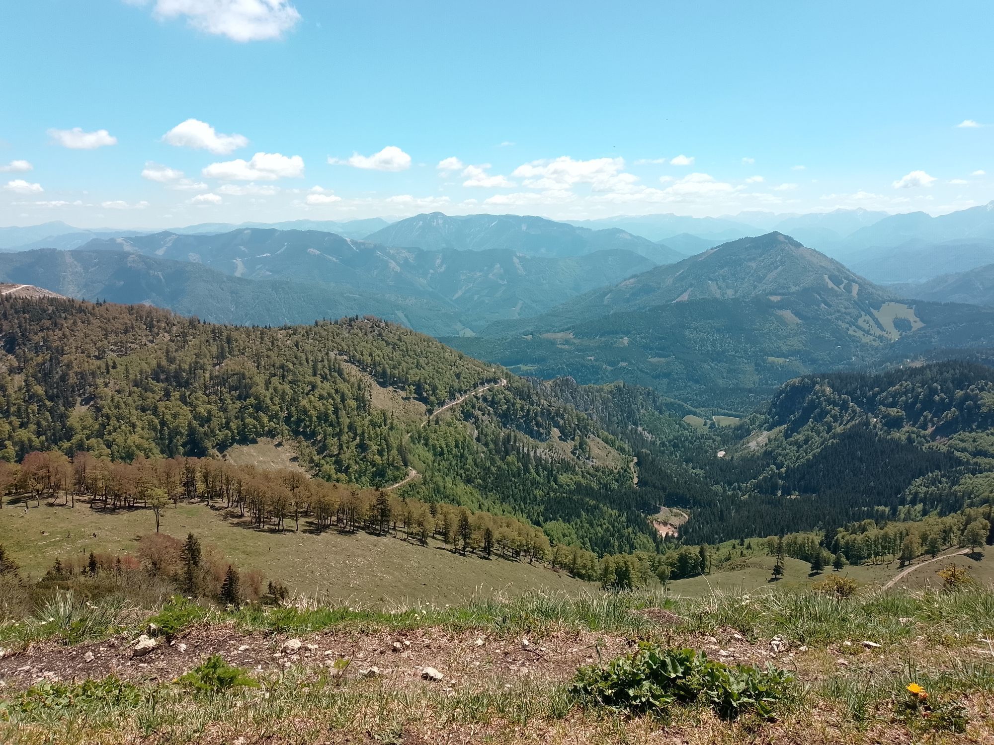
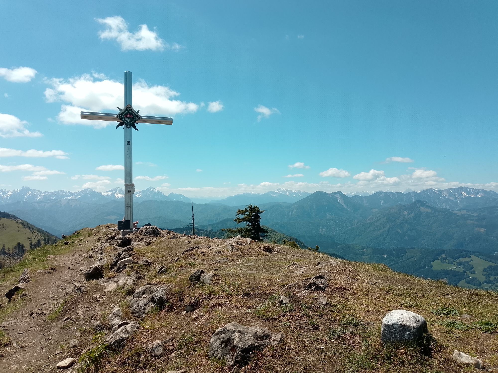
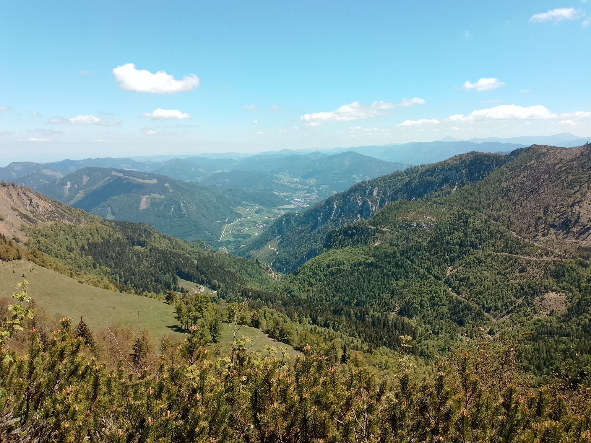
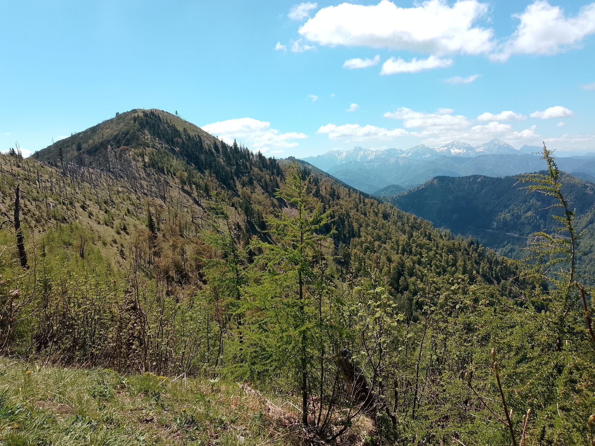
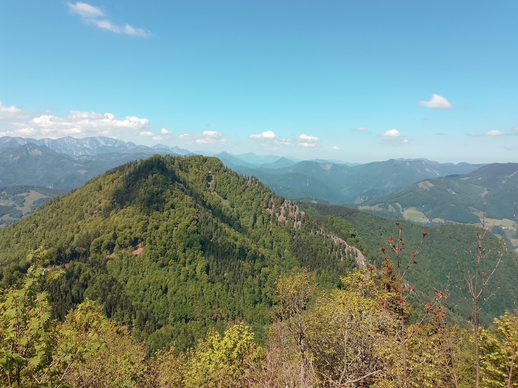
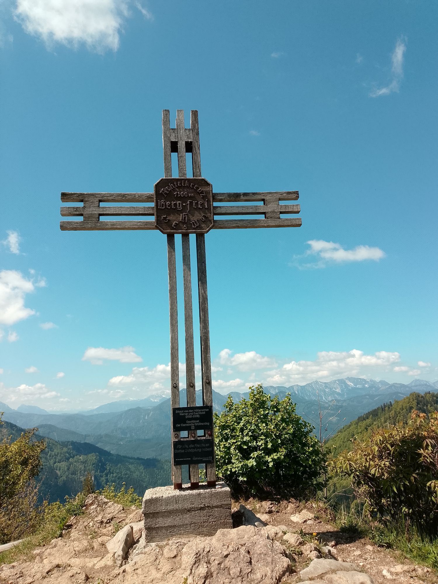
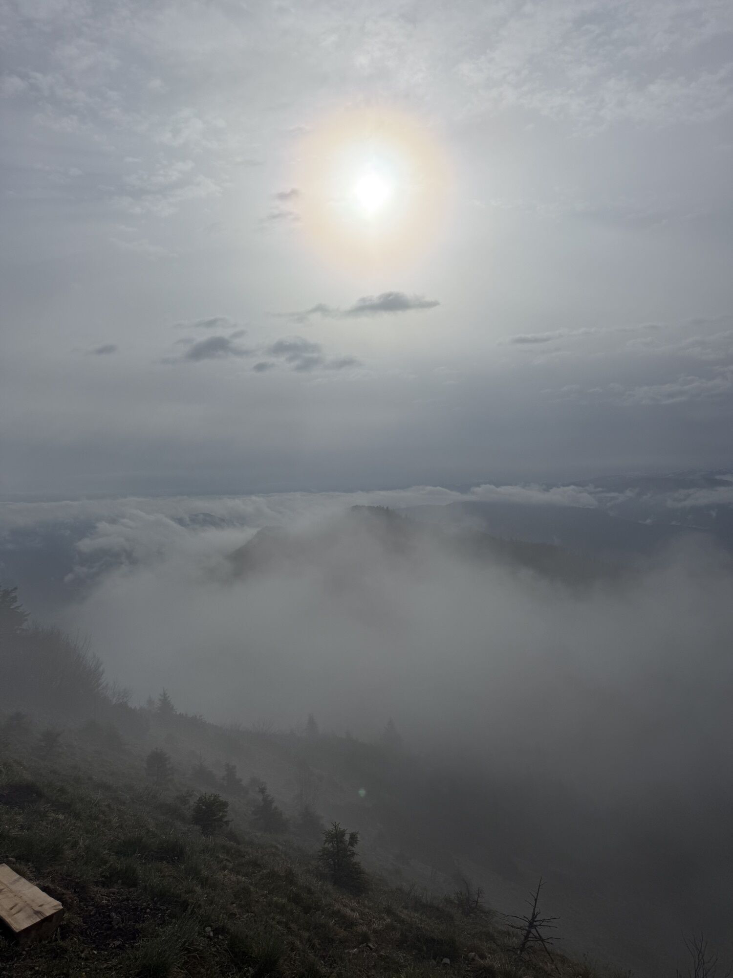
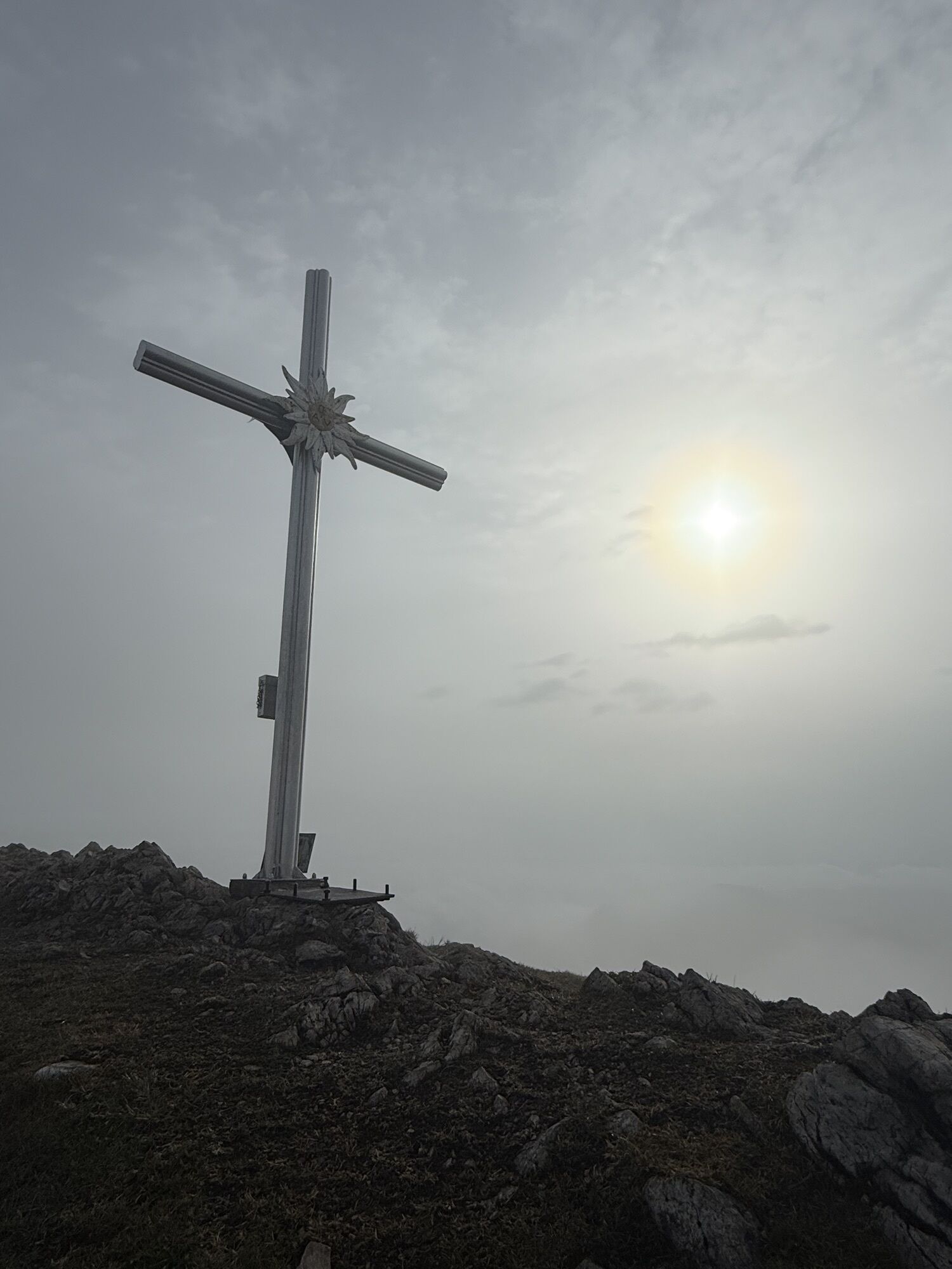
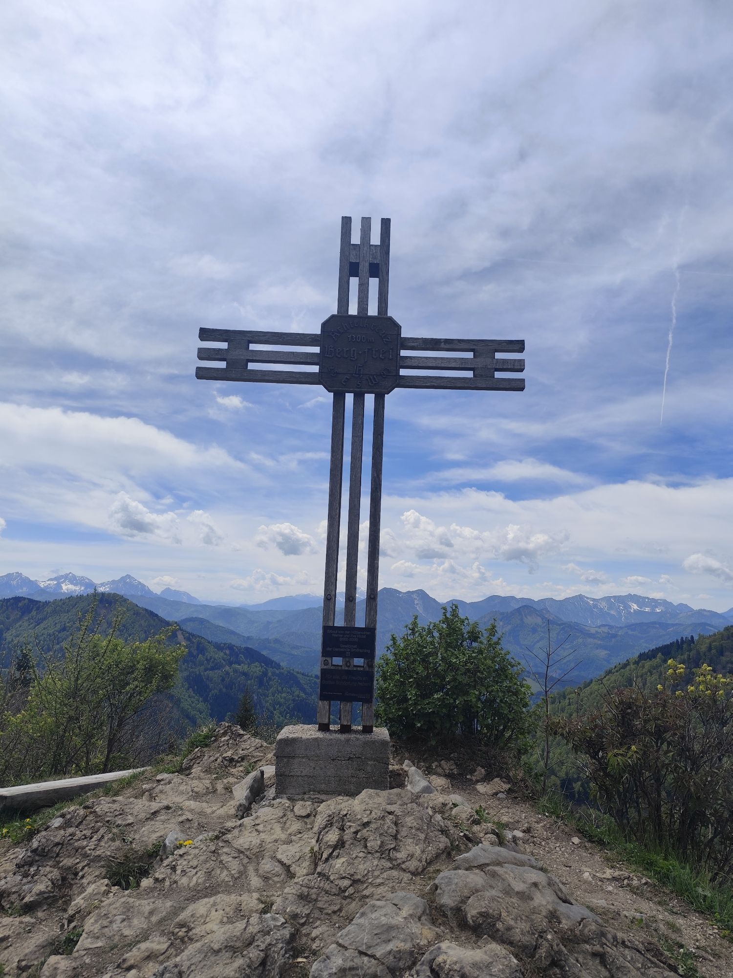
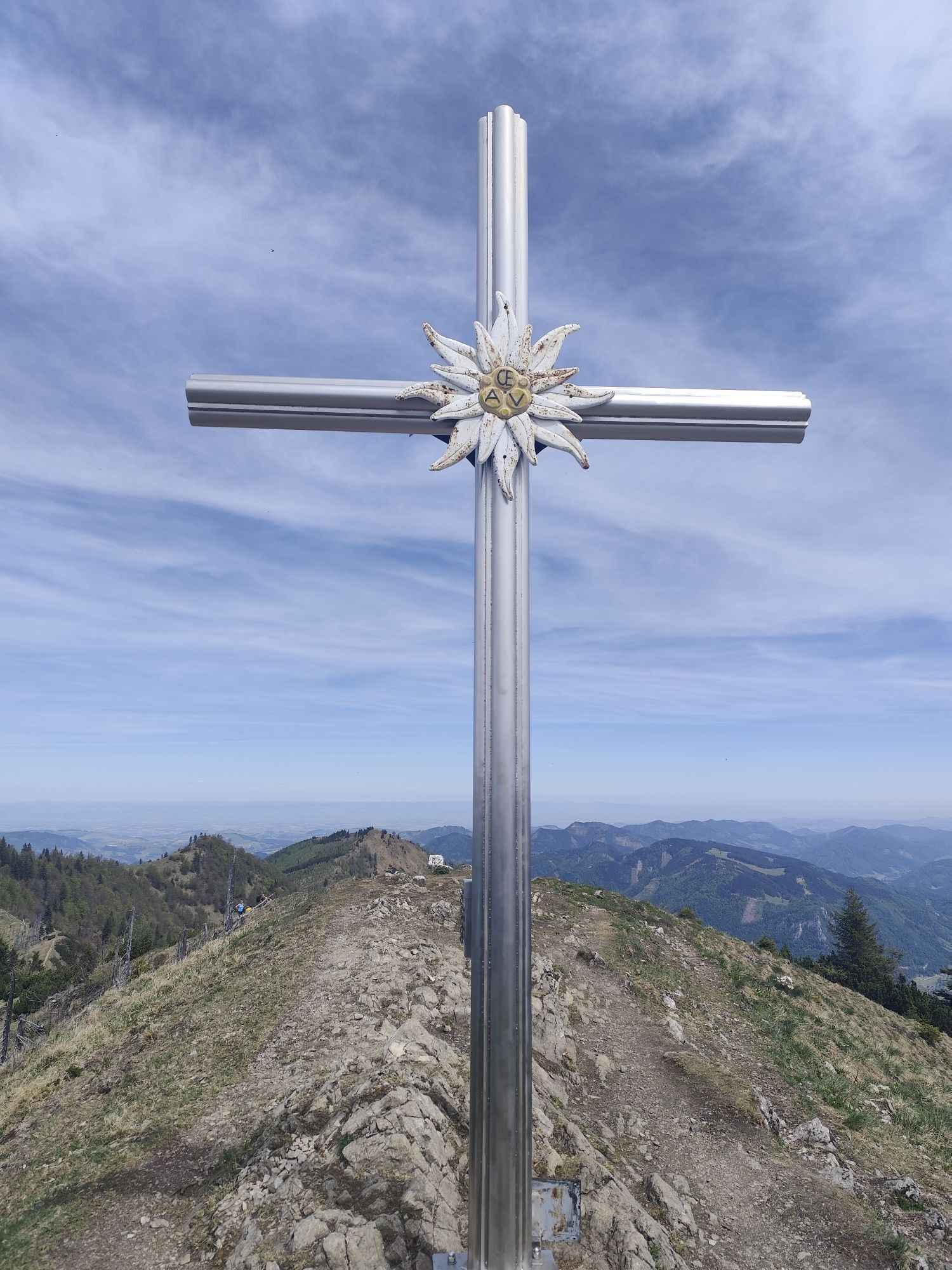
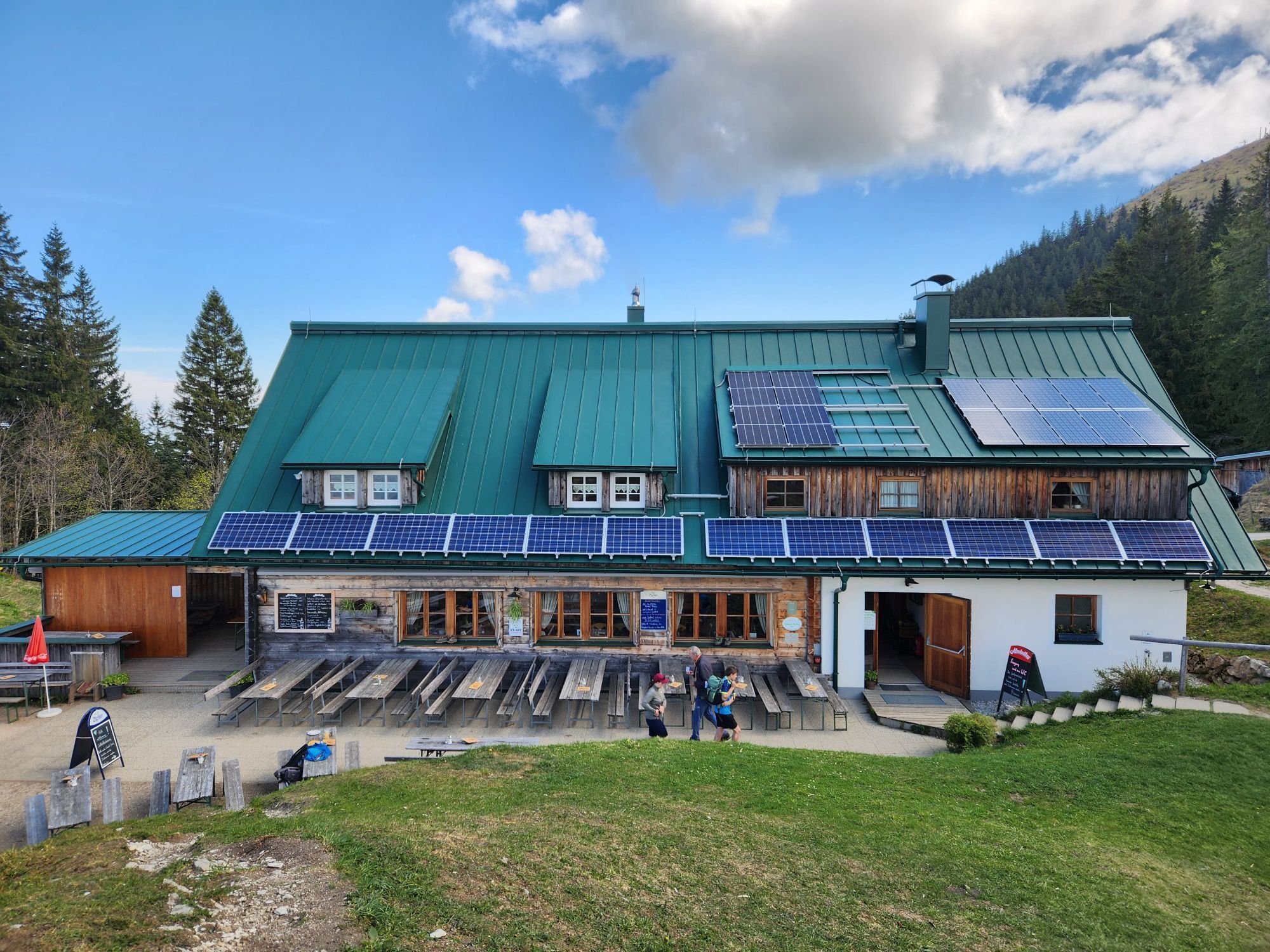
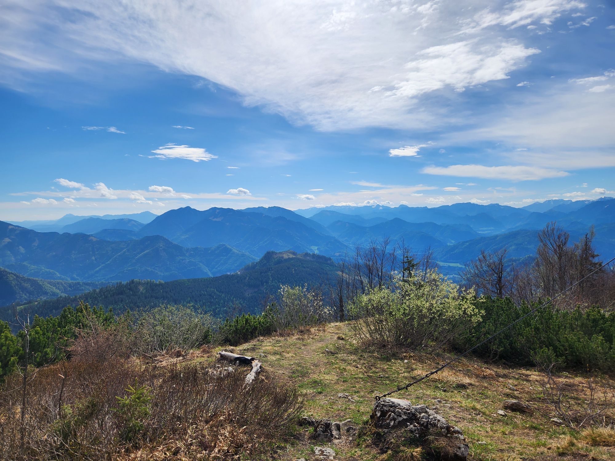
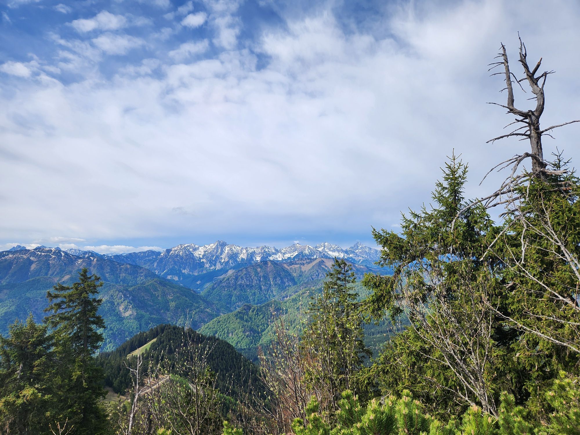
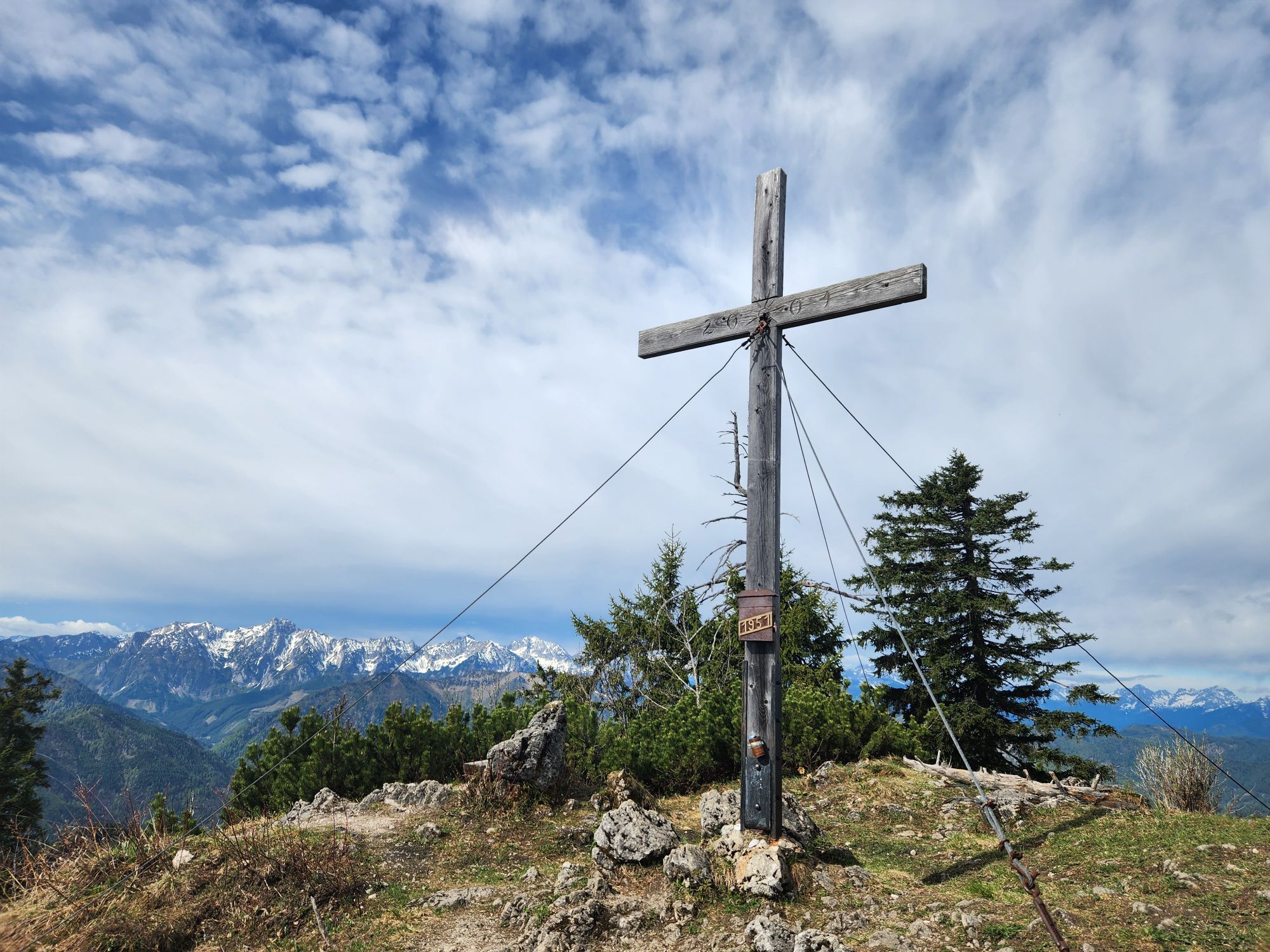
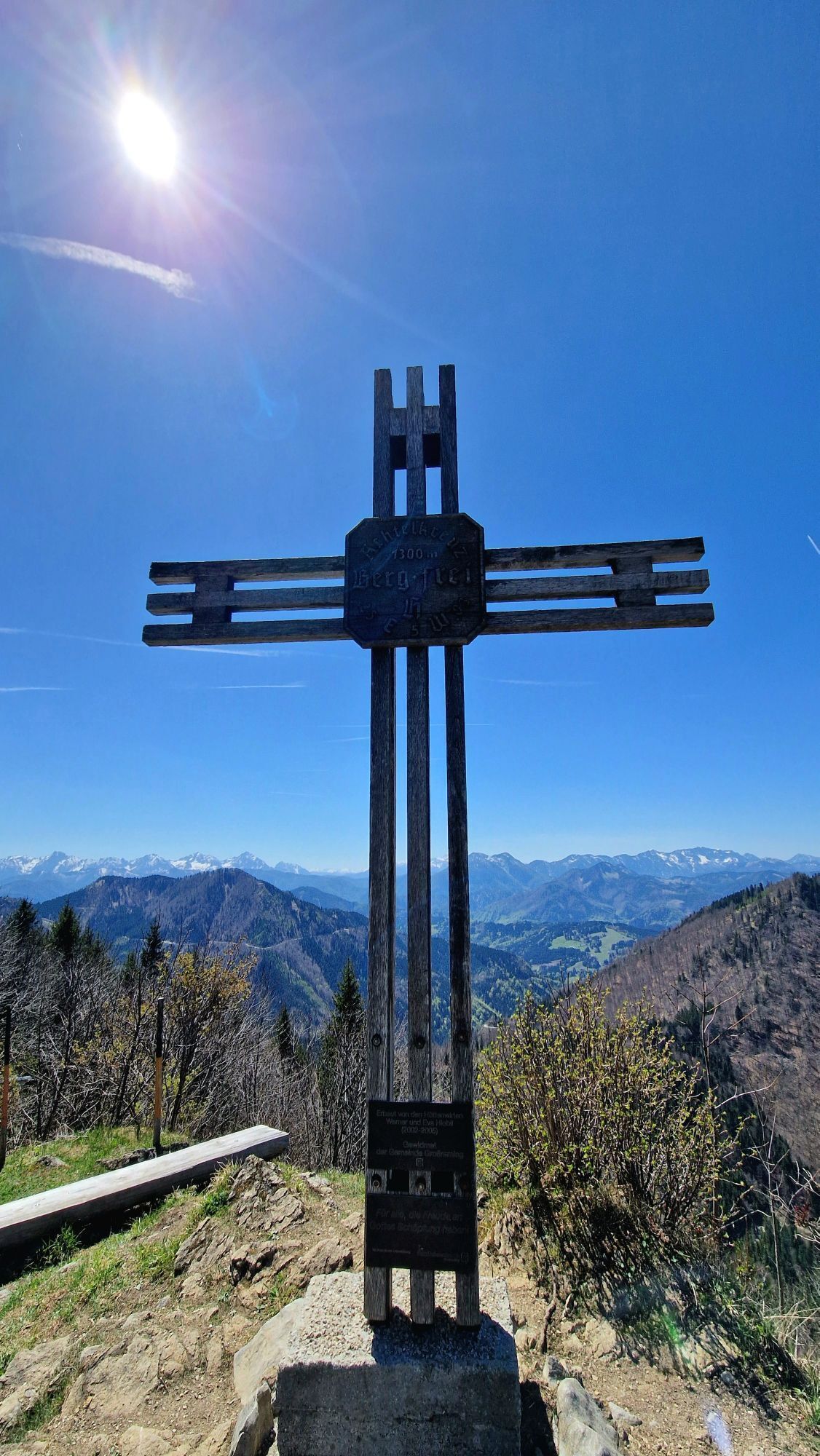
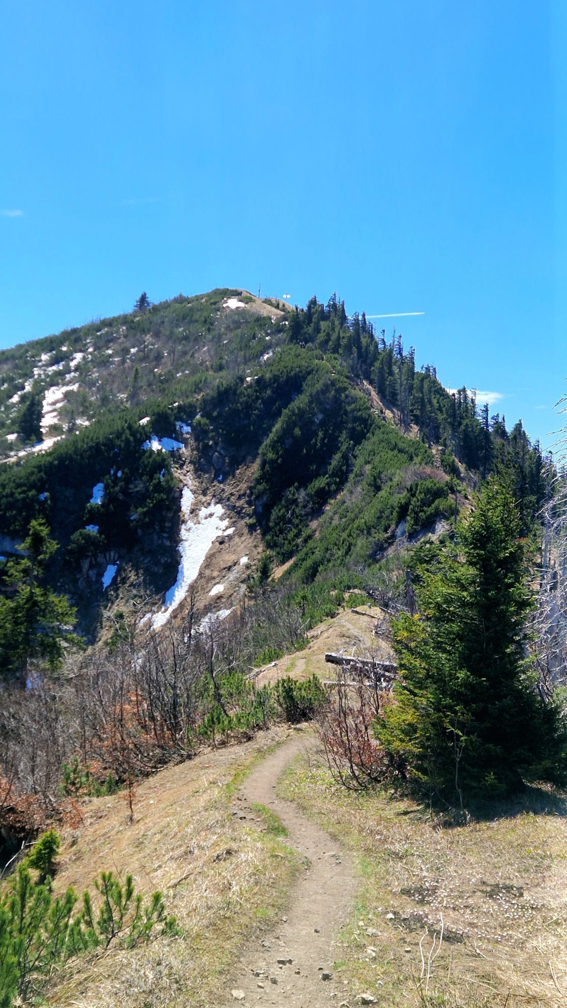
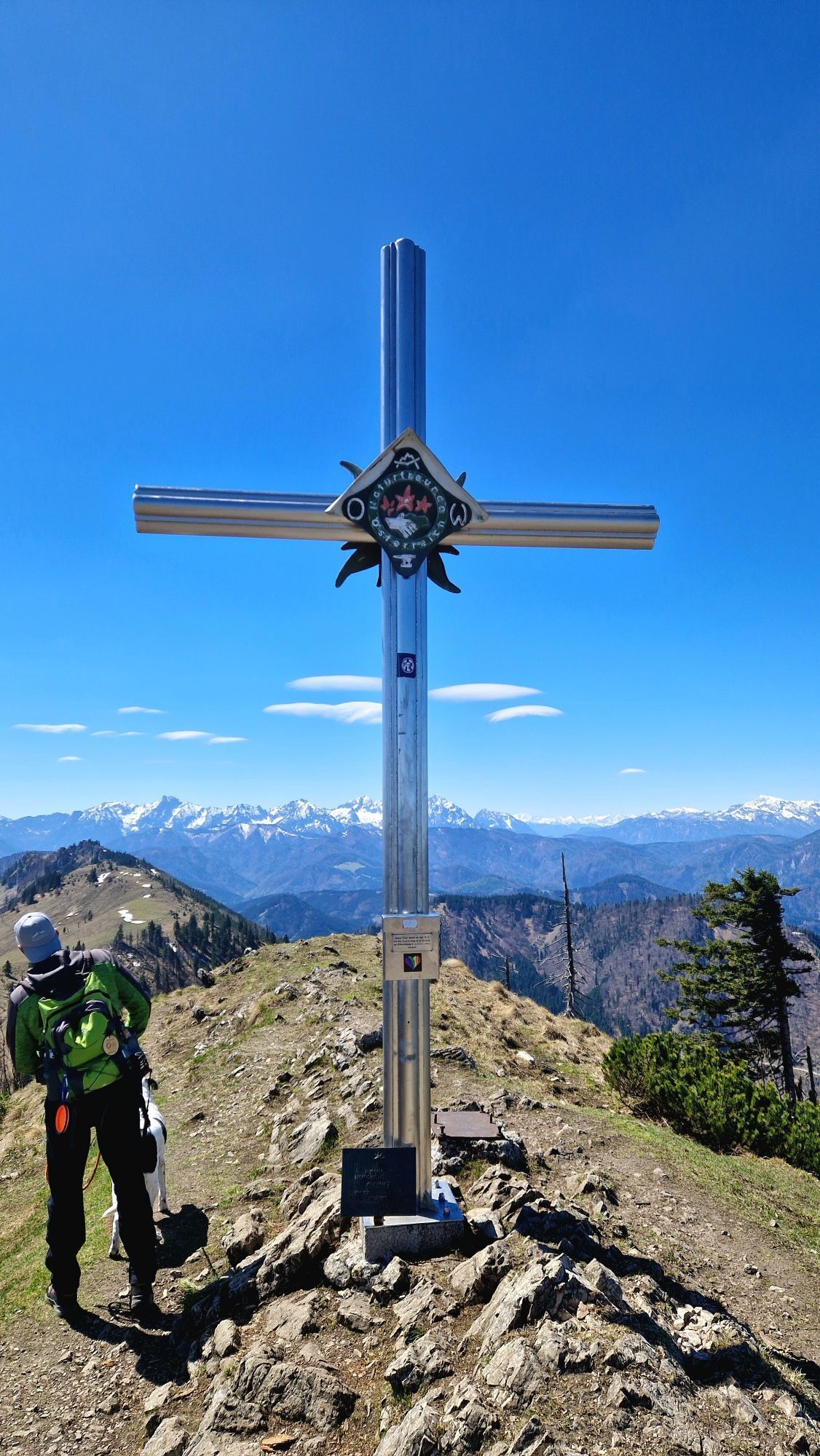
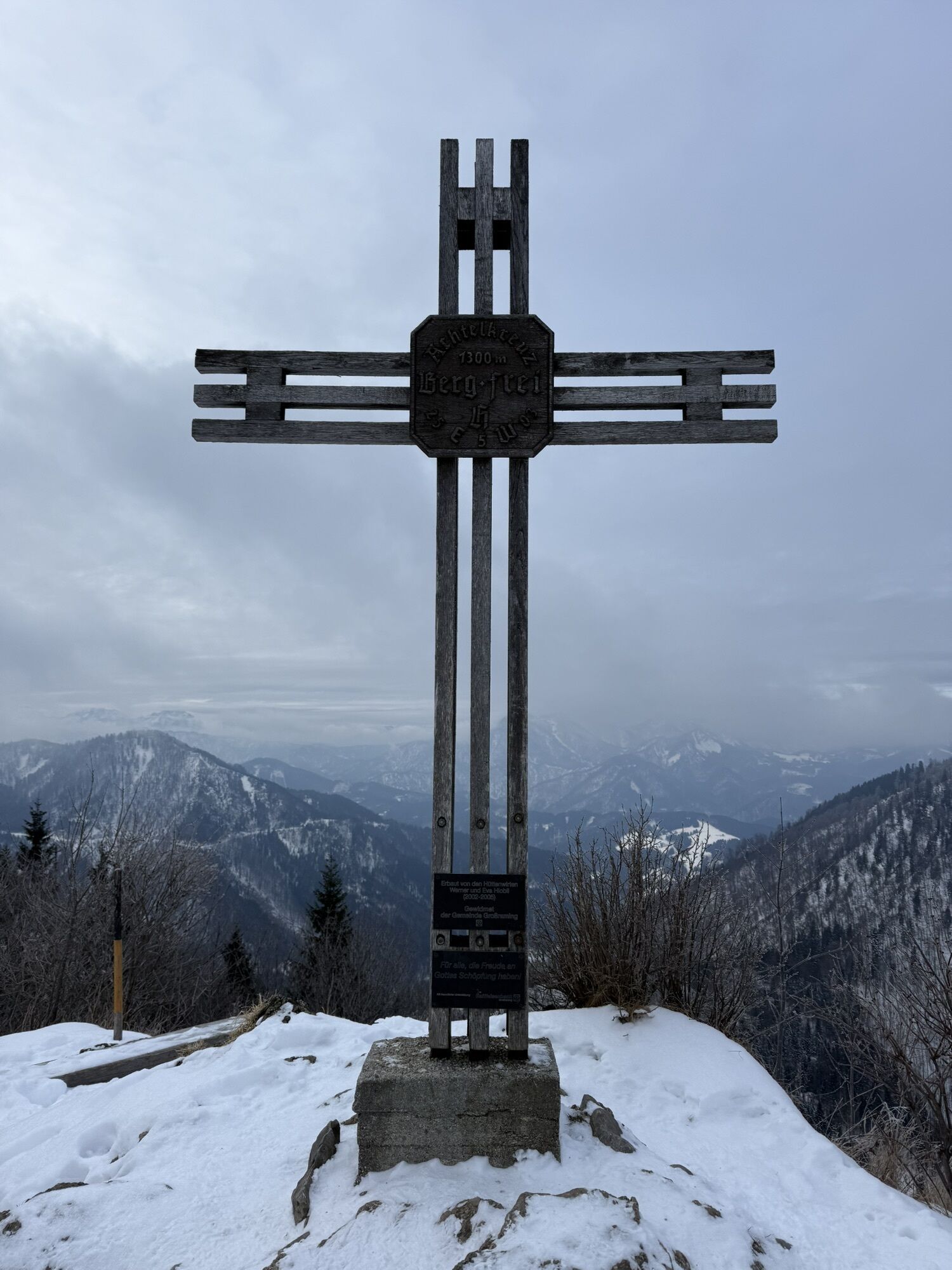
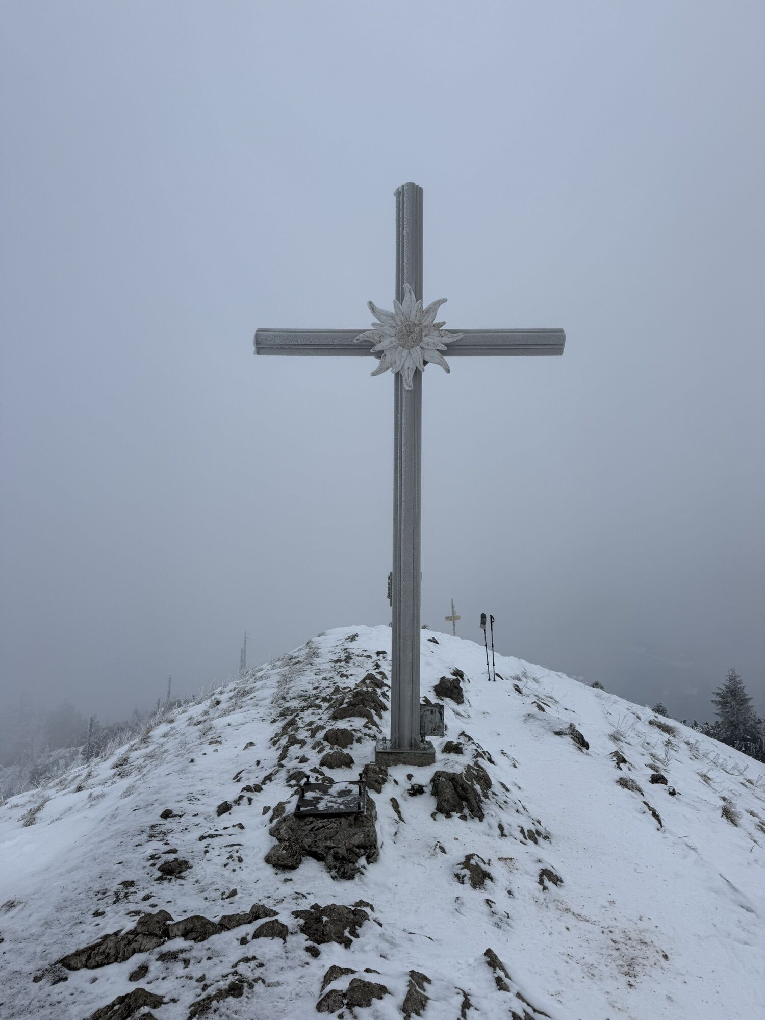
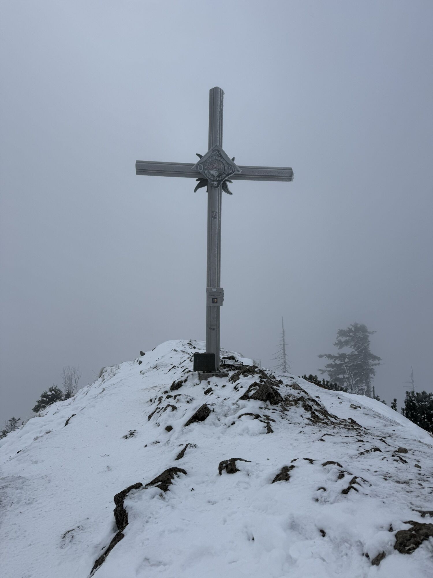
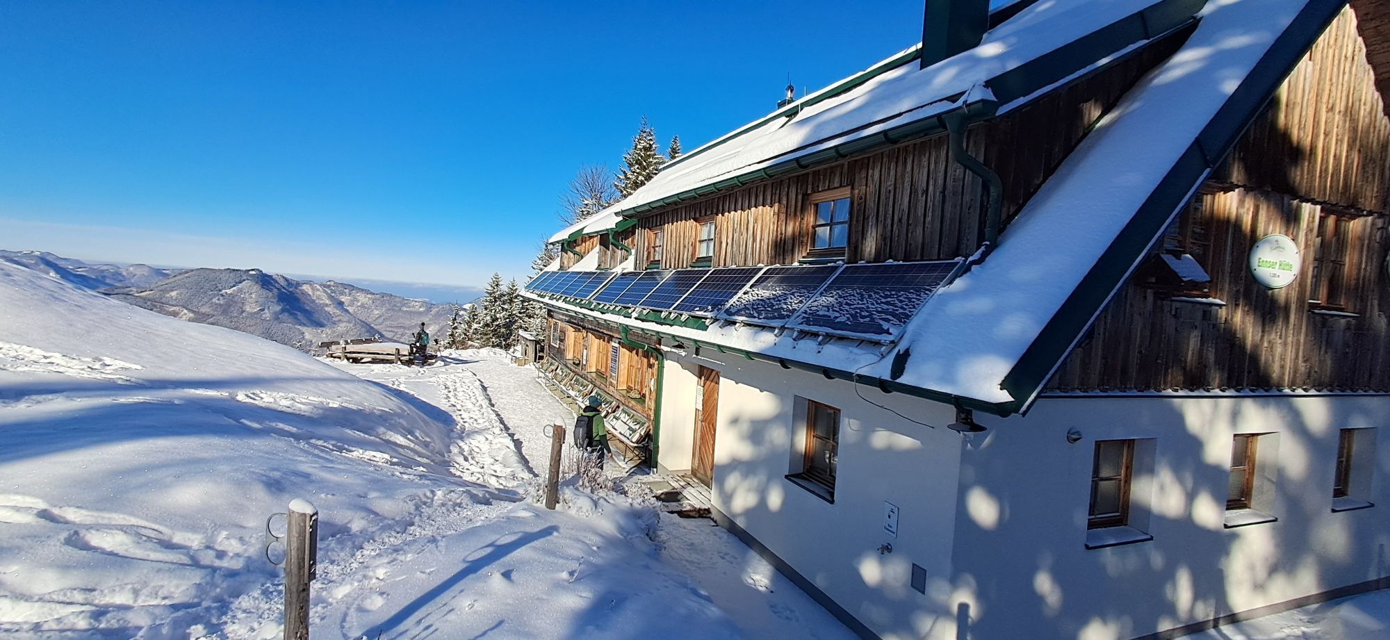
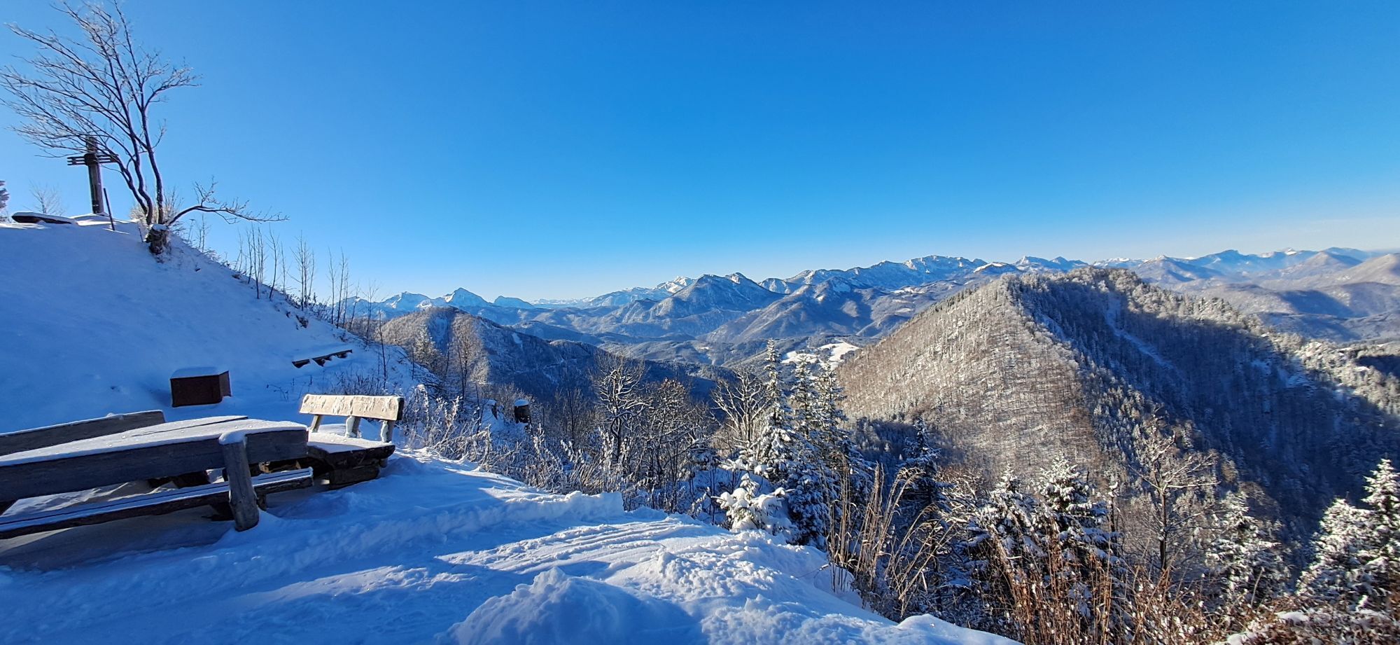
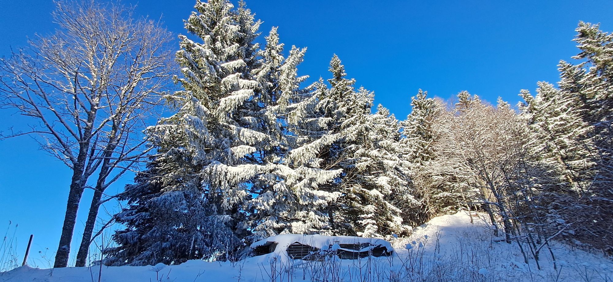
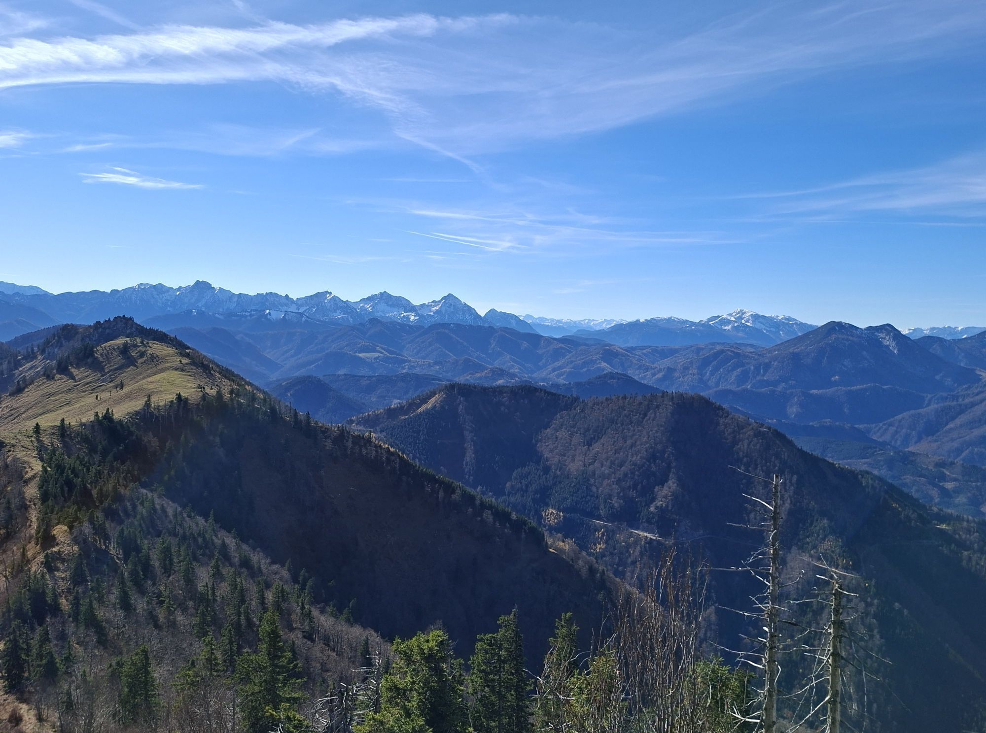
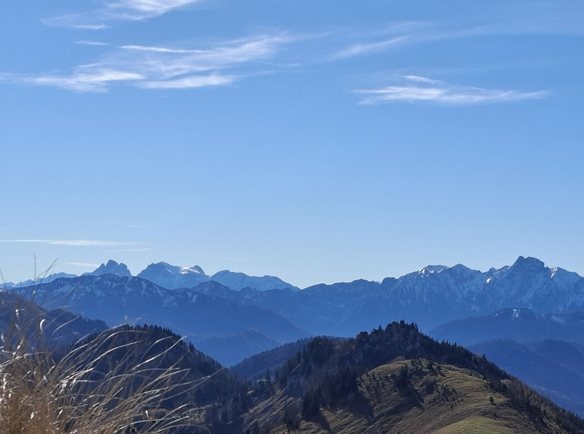
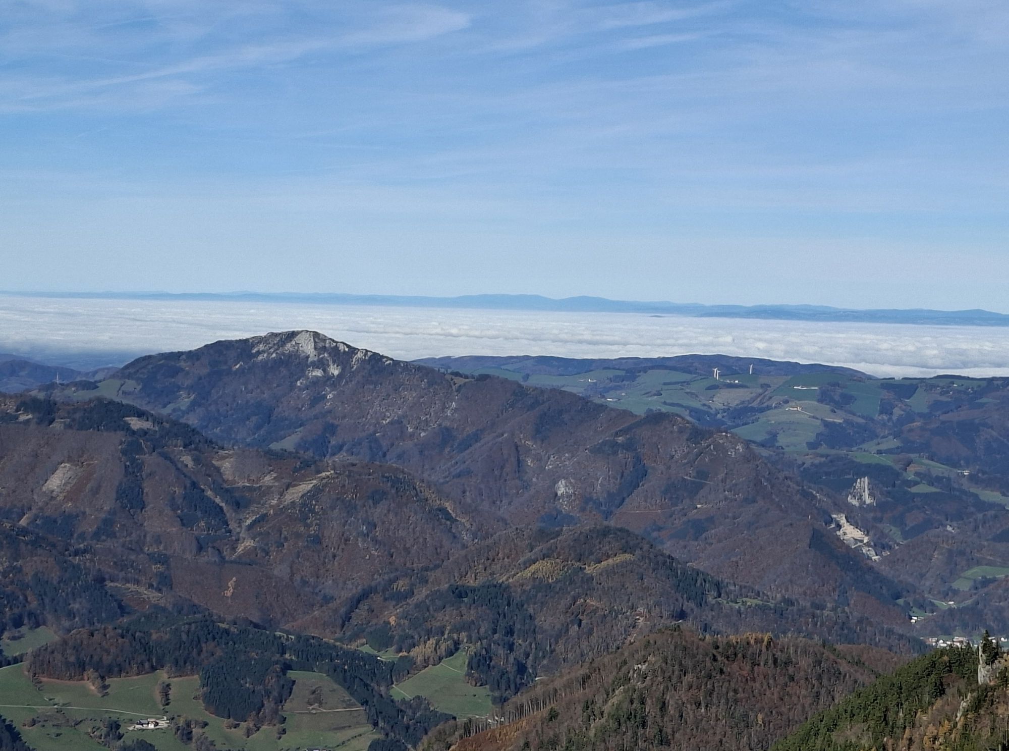
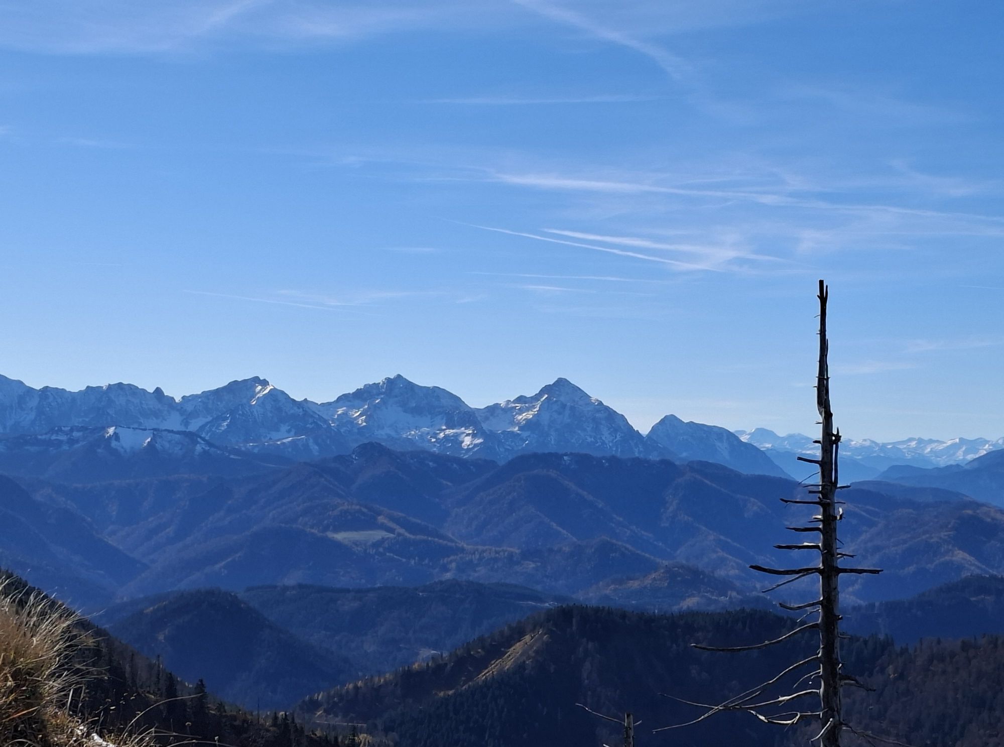
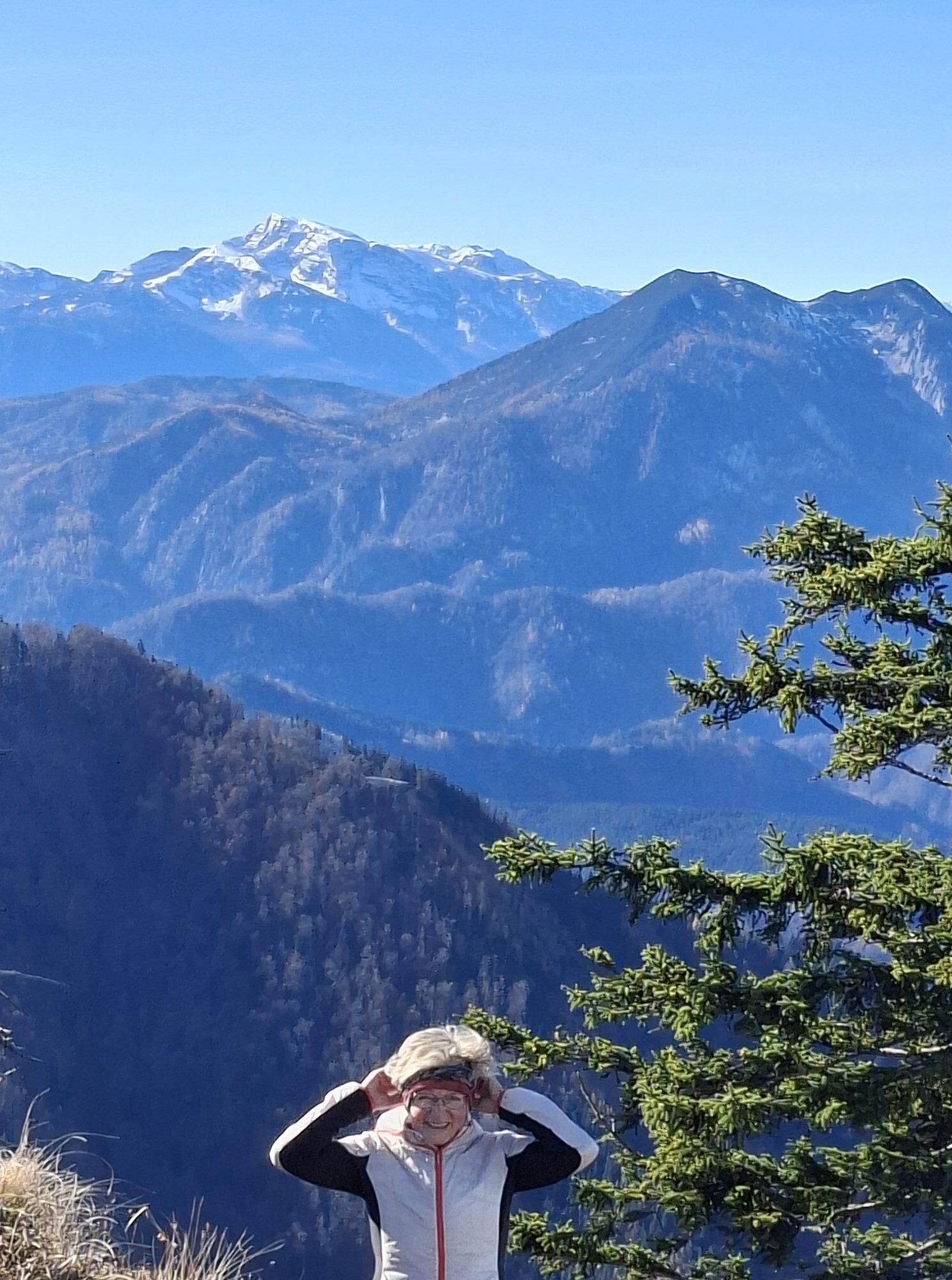
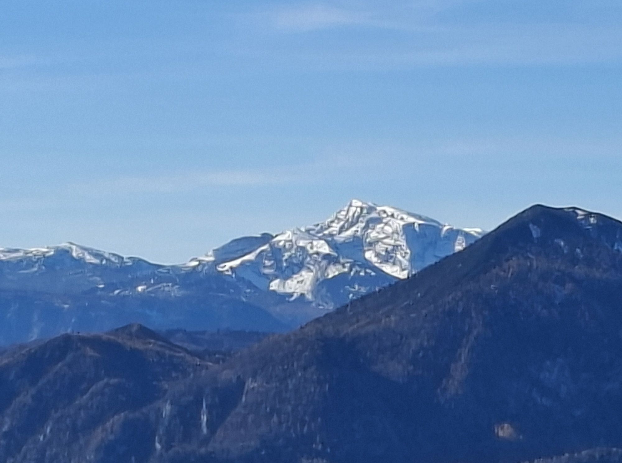
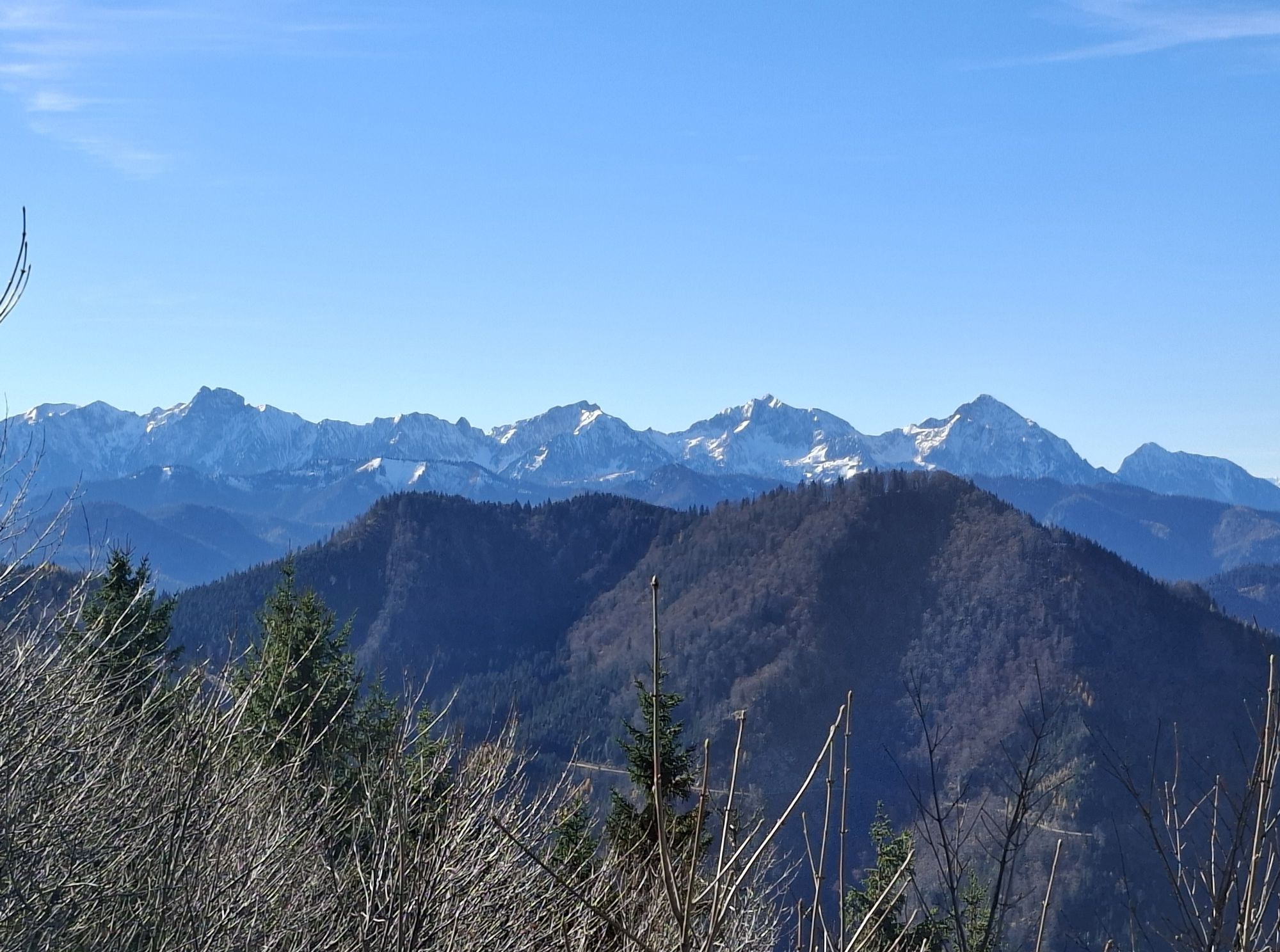
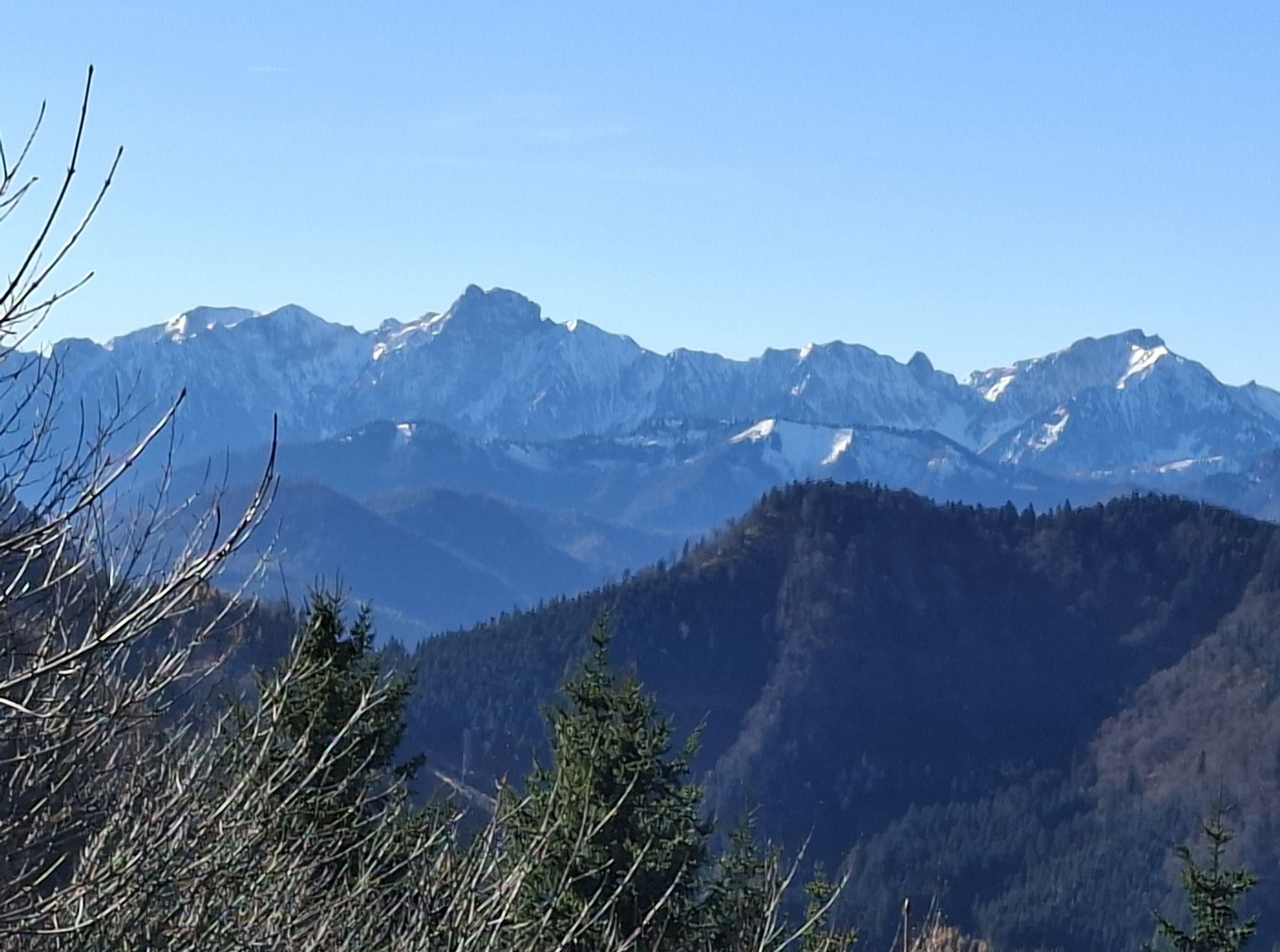
This challenging full-day route repeatedly offers viewpoints into the Kalkalpen National Park, the Sengsengebirge, the Totes Gebirge, the Haller Mauern and the Ennstal Alps.
Hiking trail: E10, E11

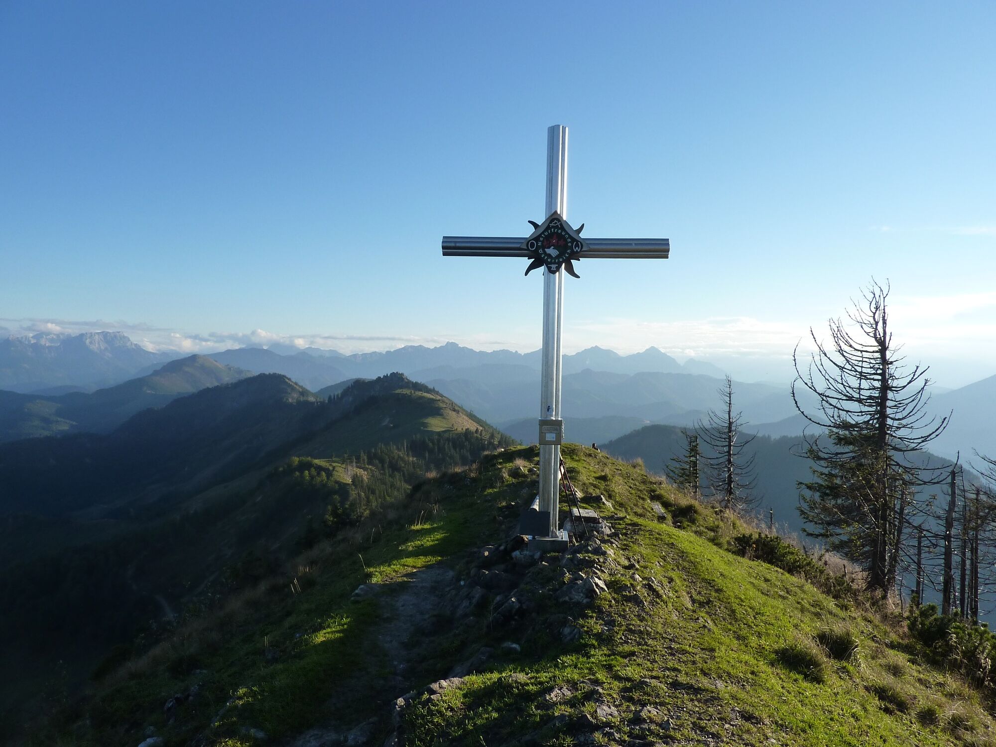
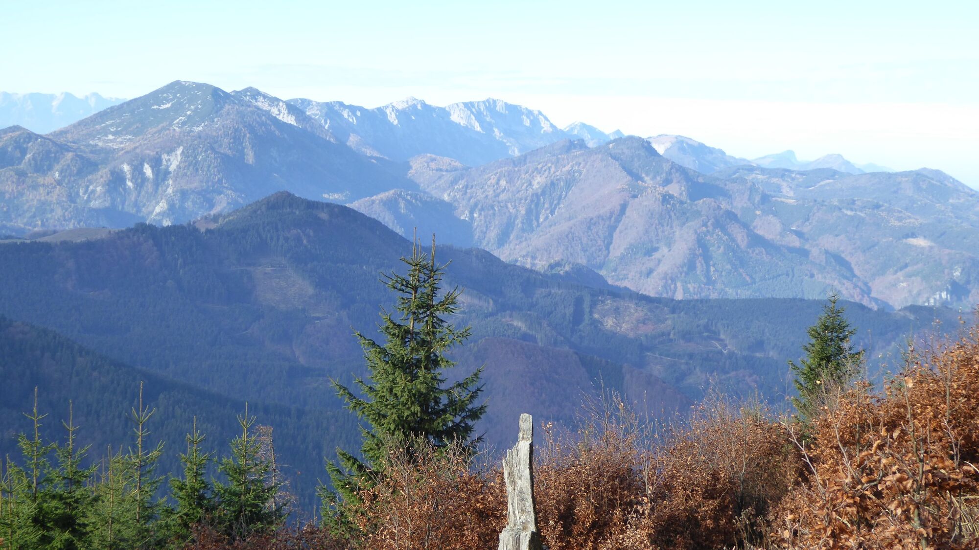
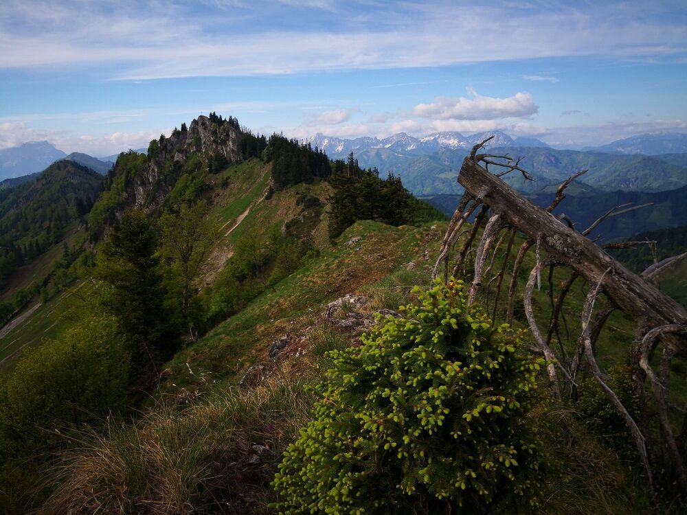
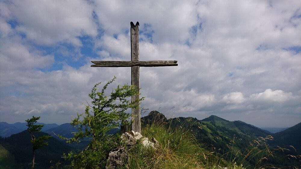
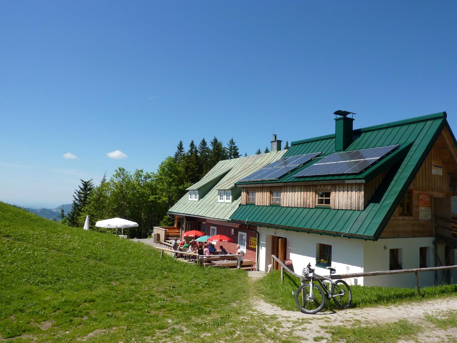
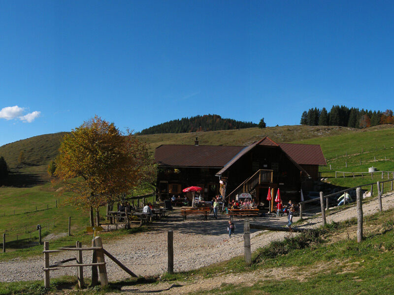
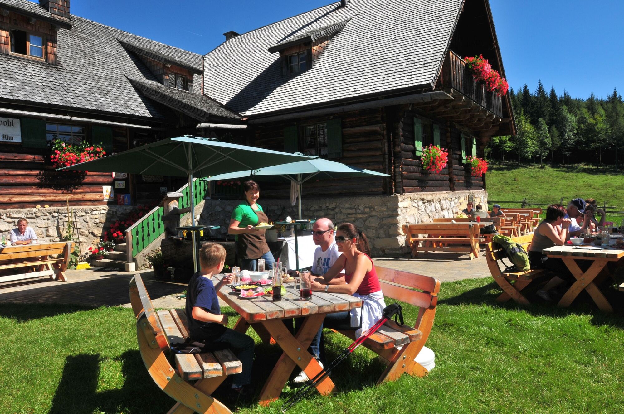

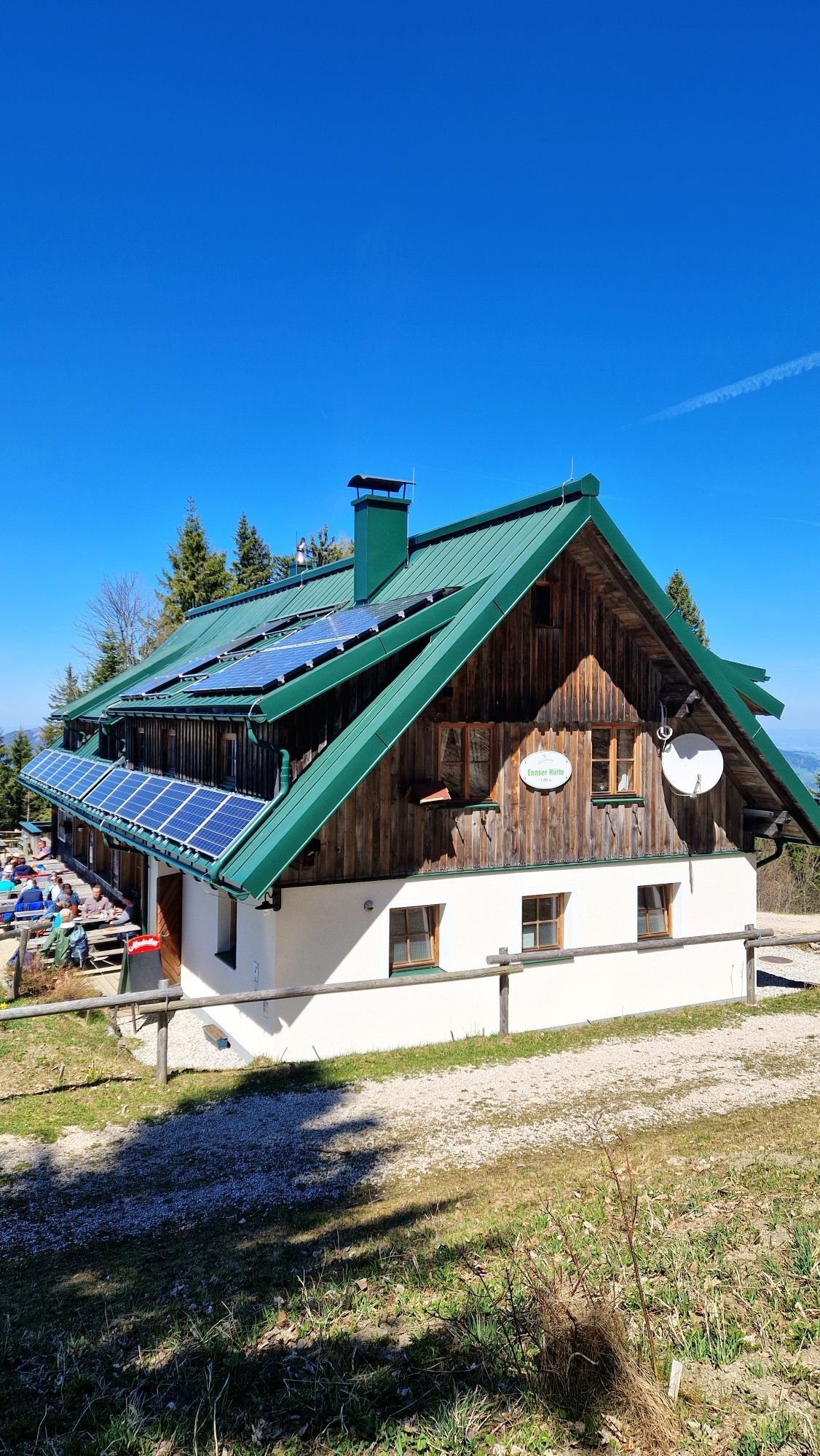
Before hiking over the Dürrensteig ridge to the Schüttbauernalm, there is still the hike to the Ennser Hut, which can be reached by two options - either from Großraming train station (approx. 3 hrs) or from the Bamacher parking lot (approx. 1 hr)
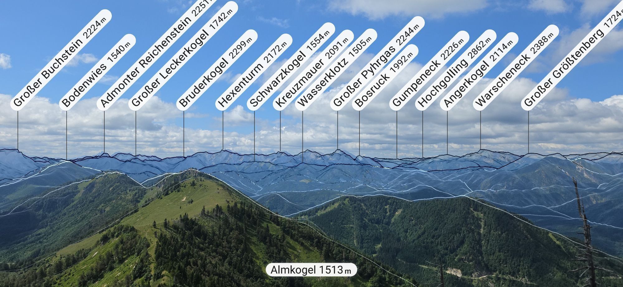
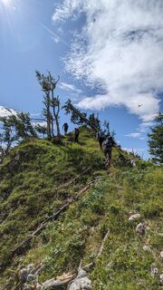
The hike over the Dürrensteig begins at the Almkogel. Enjoy the view far into the National Park. The section between the Almkogel and the Langlackermauer offers the most beautiful panoramic view of the whole region: Kalkalpen National Park with the Reichraminger Hintergebirge and the Sengsengebirge, Totes Gebirge and Haller Mauern on one side, Ennstal Alps with Gesäuse National Park up to Ötscher and far into the Alpine foothills to the Mühl and Waldviertel on the other side.
The tour becomes somewhat difficult in the area of the Langlackermauer. The cliff drops steeply for one hundred meters, the path follows directly along the ridge. Surefootedness and a head for heights are required here! Moreover, the descent at the end of the Langlackermauer drops almost vertically about 10 meters over the rock, but there is a secure rope for safety.
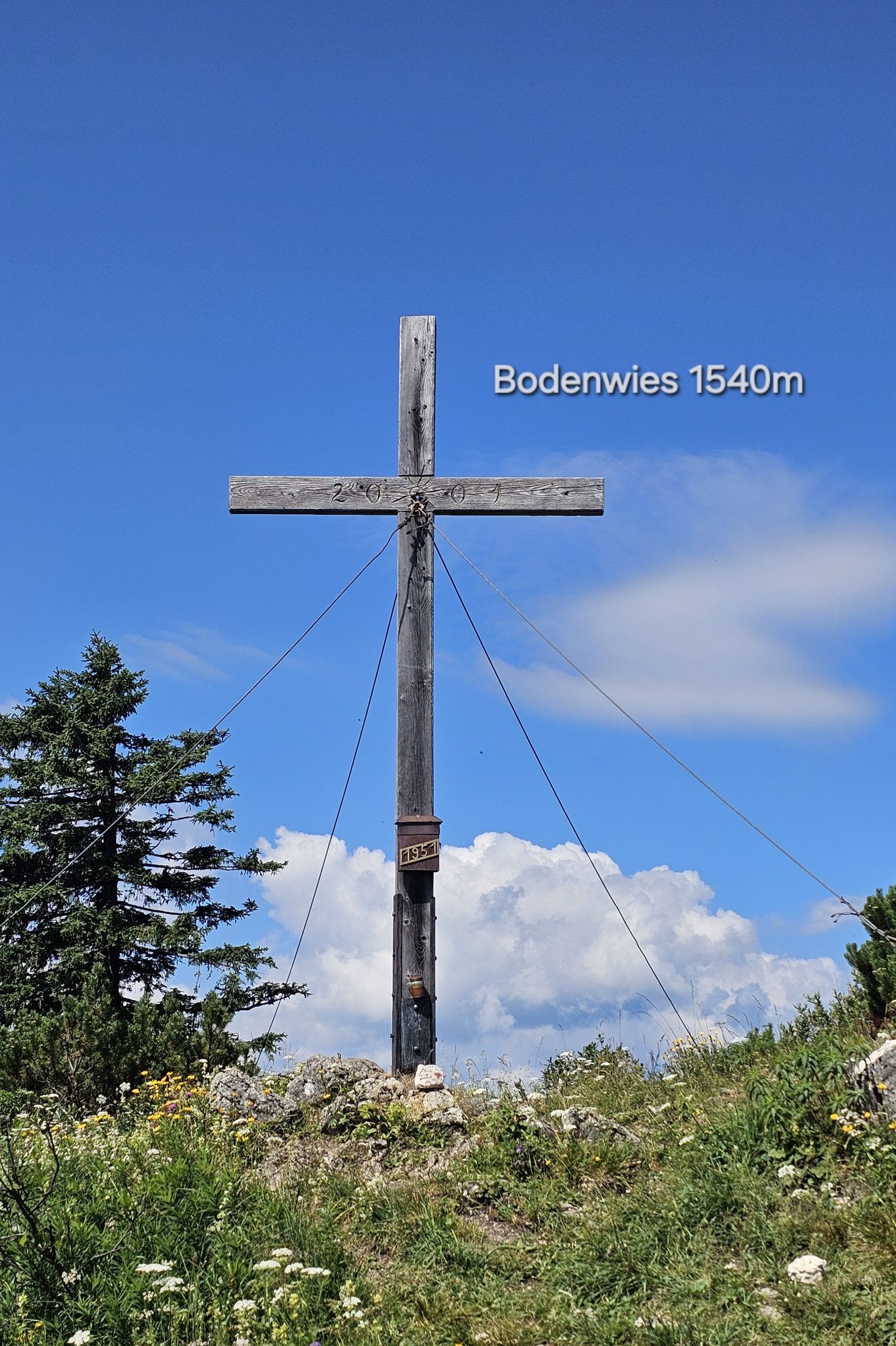
At Ochsenkogel, the ascent continues once again. A steep climb finally leads to the Hochzöbel. From here, continue to the left to Leerensackriedel. There is the possibility to hike over the Bodenwies summit. The shorter route runs left down at the intersection at Leerensackriedel until you reach the end of a forest road. From here you can see the hunting hut Menaueralm, the forest road leads directly there and then continues over the pasture to the Schüttbauernalm.
Note: This day hike offers a fantastic panorama but requires very good fitness and is only suitable for experienced hikers. Surefootedness and a head for heights are also required!
From the Schüttbauernalm to the Anlaufalm, you can expect about 12 km, a walking time of 5-7 hours, and about 650-970 meters of elevation gain.
Tak
Tak
Beautiful ridge hike, partly exposed, therefore surefootedness, a head for heights, and stamina are required!
From Vienna: A1 motorway exit Haag > B42 > B122 > B115 into the Enns Valley
From Passau: A8 Passau > Wels > A1 motorway exit Enns-Steyr > B115 into the Enns Valley
From Graz: A9 Pyhrnautobahn > motorway exit Klaus > Grünburg > into the Ennstal Valley
Details at www.ooevv.at
Railway Stations are located in Steyr, Garsten, Lahrndorf, Dürnbach, Ternberg, Trattenbach, Losenstein, Reichraming, Großraming, Gaflenz, Weyer, Küpfern, Kastenreith, Kleinreifling and Weißenbach-St. Gallen.
Großraming/Bamacher parking lot
Tip for a challenging two- or three-day alpine pasture hike:
Ascent to the Ennser Hut via the Brunnbach, the Gschwendtalm, and the Danzer Steig, an overnight stay at the Ennser Hut, Dürrensteig ridge, an overnight stay at the Anlaufalm, and return to the starting point via the Brunnbach Ascent to the Almkogel via Kleinreifling and the Dürrensteig ridge to the Schüttbauernalm, an overnight stay at the Schüttbauernalm, and return to the starting point via the Bodenwies and Viehtaleralm
 Uzyskaj wgląd Zawsze na żywo z ponad 9 500 kamer internetowych. bergfex Jako użytkownik Pro, możesz teraz zobaczyć odpowiednie kamery internetowe dla wielu wycieczek w aplikacji wycieczki od. Pozwala to na bezpośredni podgląd aktualnych warunków.
Popularne wycieczki w okolicy
- 4,9
Ennser Hut - Almkogel (from Bamacher car park)
średniWędrówka 3,53 km - 4,6
Natterriegel über Mittagskogel
ciężkiWędrówka 14,6 km - 4,4
Grabneralm und Grabnerstein
średniWędrówka 13,5 km - 3,9
Wasserklotz
średniWędrówka 5,81 km - 4,7
GROSSRAMING Bamacher, Burgspitz, Almkogel, Ennshütte 20240730
średniWędrówka 10 km - 4,6
Gamsstein (1275m) und Gschwendtalm ab Parkplatz Brunnbach
średniWędrówka 7,37 km - 4,7
MTB - Anlaufalm (über den Hintergebirgsradweg)
średniMountainbike 51,0 km - 4,4
Mannsberg
światłoWędrówka 7,62 km - 4,3
Tieflimauer (1820Hm) über Teufelsteig (B/C)
średniVia ferrata 18,6 km - 4,7
Lahnerkogel
światłoWędrówka 9,31 km
Wędrówki i tropienie


Nie przegap ofert i inspiracji na następne wakacje
Twój adres e-mail została dodana do listy mailingowej.





