



Gaflenzer Kaibling

Poziom trudności: T2


From the town center of Gaflenz, the path leads past the Gasthof Stubauer, the Hubertus Chapel, Bärenreith, Bergerbauer, and over the Breitenauer Spitz to the Gaflenzer Kaibling.
The last part of the path...
From the town center of Gaflenz, the path leads past the Gasthof Stubauer, the Hubertus Chapel, Bärenreith, Bergerbauer, and over the Breitenauer Spitz to the Gaflenzer Kaibling.
The last part of the path is not marked.

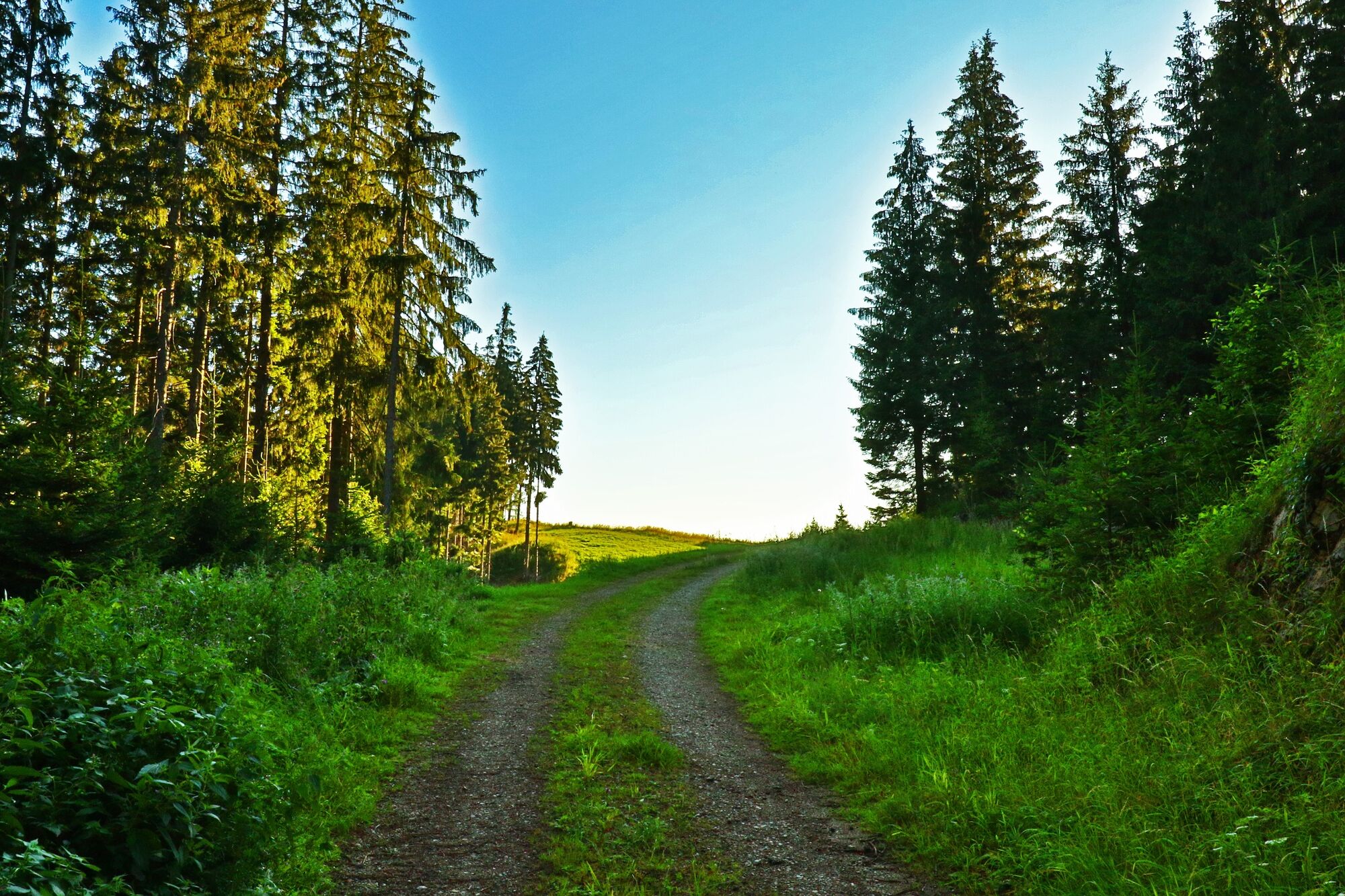
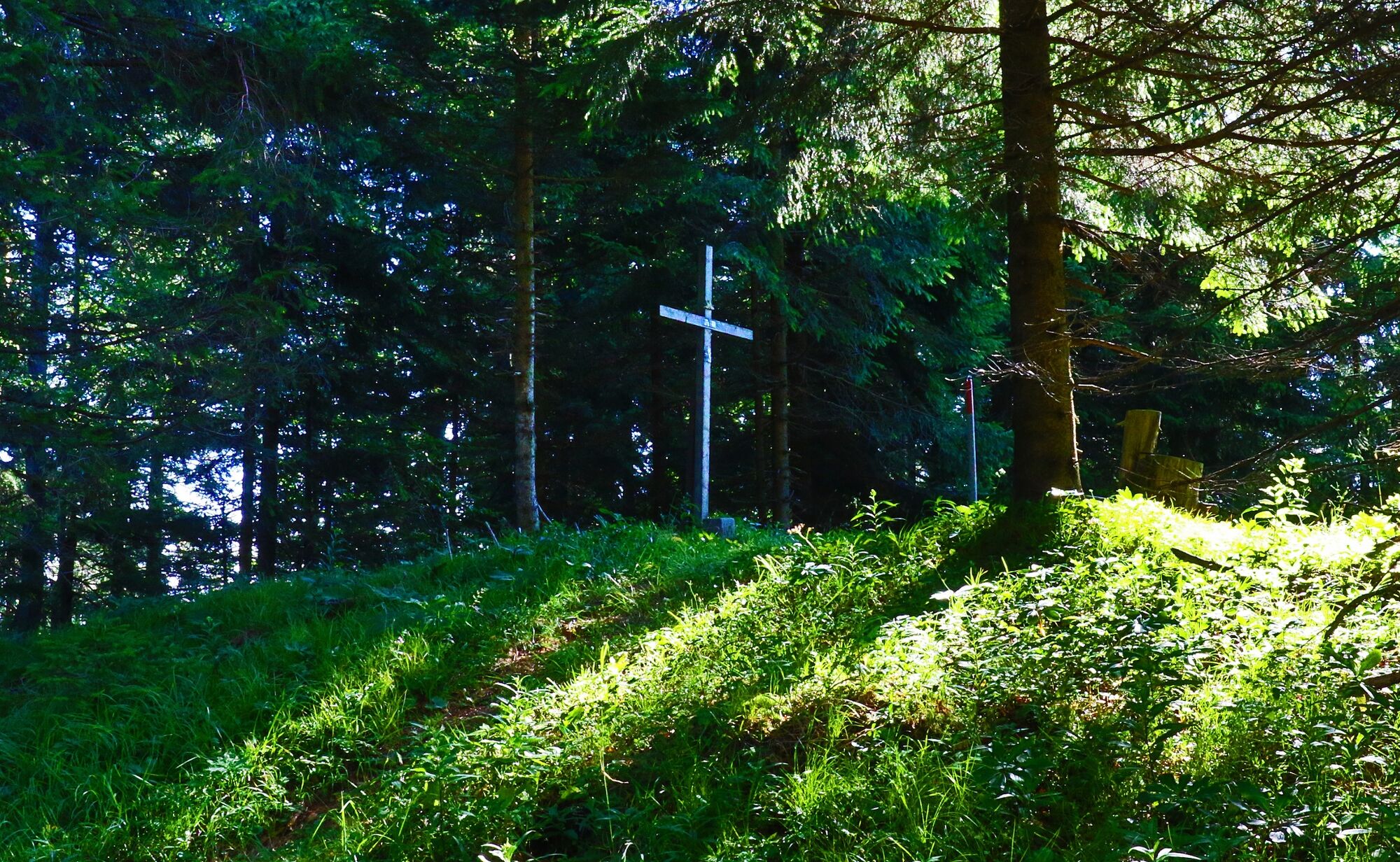
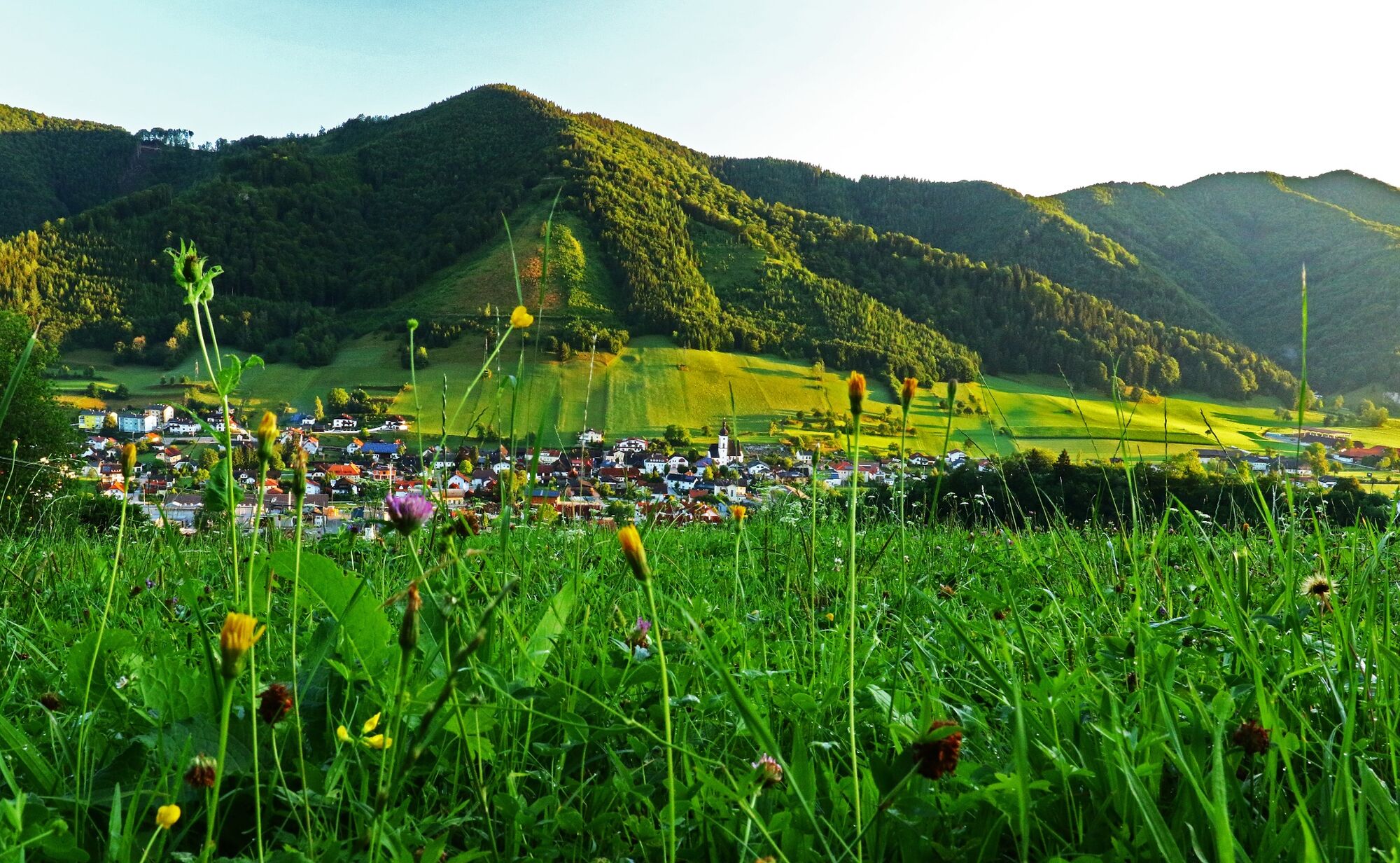

The path leads from the town center towards Gasthof Stubauer, past the Hubertus Chapel, Bärenreith, Bergerbauer, over the Breitenauer Spitz to the Gaflenzer Kaibling (highest point of Gaflenz).
The last part of the path is not marked.
Further unmarked circular route via the Holzer Kogel and Breitenau back to the town center of Gaflenz.
Alternatively over the Hintere Mühlein to the Heiligenstein.
Tak
Tak
From Vienna: A1 motorway exit Haag > B42 > B122 > B115 into the Enns Valley
From Passau: A8 Passau > Wels > A1 motorway exit Enns-Steyr > B115 into the Enns Valley
From Graz: A9 Pyhrnautobahn > motorway exit Klaus > Grünburg > into the Ennstal Valley
Details at www.ooevv.at
Railway Stations are located in Steyr, Garsten, Lahrndorf, Dürnbach, Ternberg, Trattenbach, Losenstein, Reichraming, Großraming, Gaflenz, Weyer, Küpfern, Kastenreith, Kleinreifling and Weißenbach-St. Gallen.
Gaflenz/parking spaces in the town center
T2
Climate-friendly to the National Park Region - Gaflenz train station: By train, you can reach the starting point for this hike in about 2 hours from Linz and about 2.5 hours from Vienna.


Popularne wycieczki w okolicy
- 4,9
Ennser Hut - Almkogel (from Bamacher car park)
średniWędrówka 3,53 km - 4,9
Kurzeck- Siebenhütten- Turnhöhe- Kitzhütte Göstling an der Ybbs, Österreich
światłoWędrówka 12,8 km - 4,7
GROSSRAMING Bamacher, Burgspitz, Almkogel, Ennshütte 20240730
średniWędrówka 10 km - 4,6
Gamsstein (1275m) und Gschwendtalm ab Parkplatz Brunnbach
średniWędrówka 7,37 km - 4,3
Freithofberg
średniWędrówka 9,15 km - 4,6
Lindaumauer, Maria Neustift
średniWędrówka 5,53 km - 4,1
wanderung auf den alpl
średniWędrówka 8,18 km - 4,2
Hollenstein Stupfmauer Voralpe Tanzboden retour 20.08.2016
średniWędrówka 15,6 km - 4,2
Burgspitz, Almkogel, Wieser, Langlackenmauer und zurück
średniWędrówka 13,5 km - 3,9
Lindaumauer (1103 m)
Wędrówka 3,40 km
Wędrówki i tropienie


Nie przegap ofert i inspiracji na następne wakacje
Twój adres e-mail została dodana do listy mailingowej.


