


Stallburgalm - Almkogel - Hühnerkogel (from Weyer/Küpfern)


From the Stallburgalm car park in Küpfern, the hiking trail leads under the viaduct into the valley and upwards. Past a hunting lodge, a wayside shrine, and after a short detour through the forest, you...
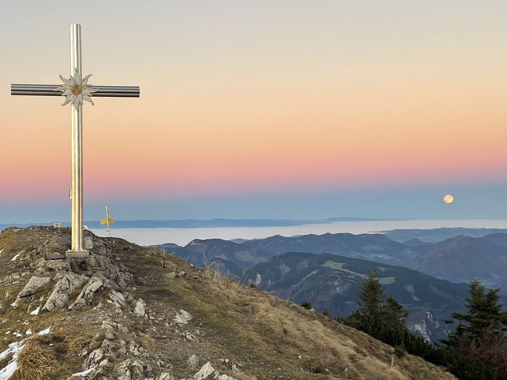
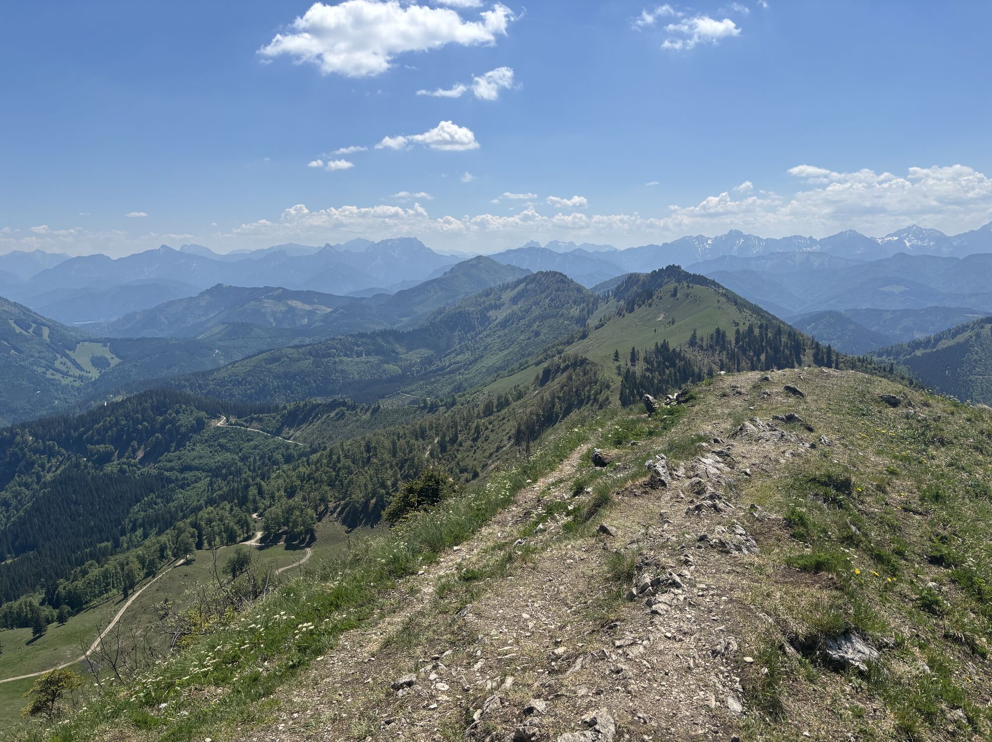
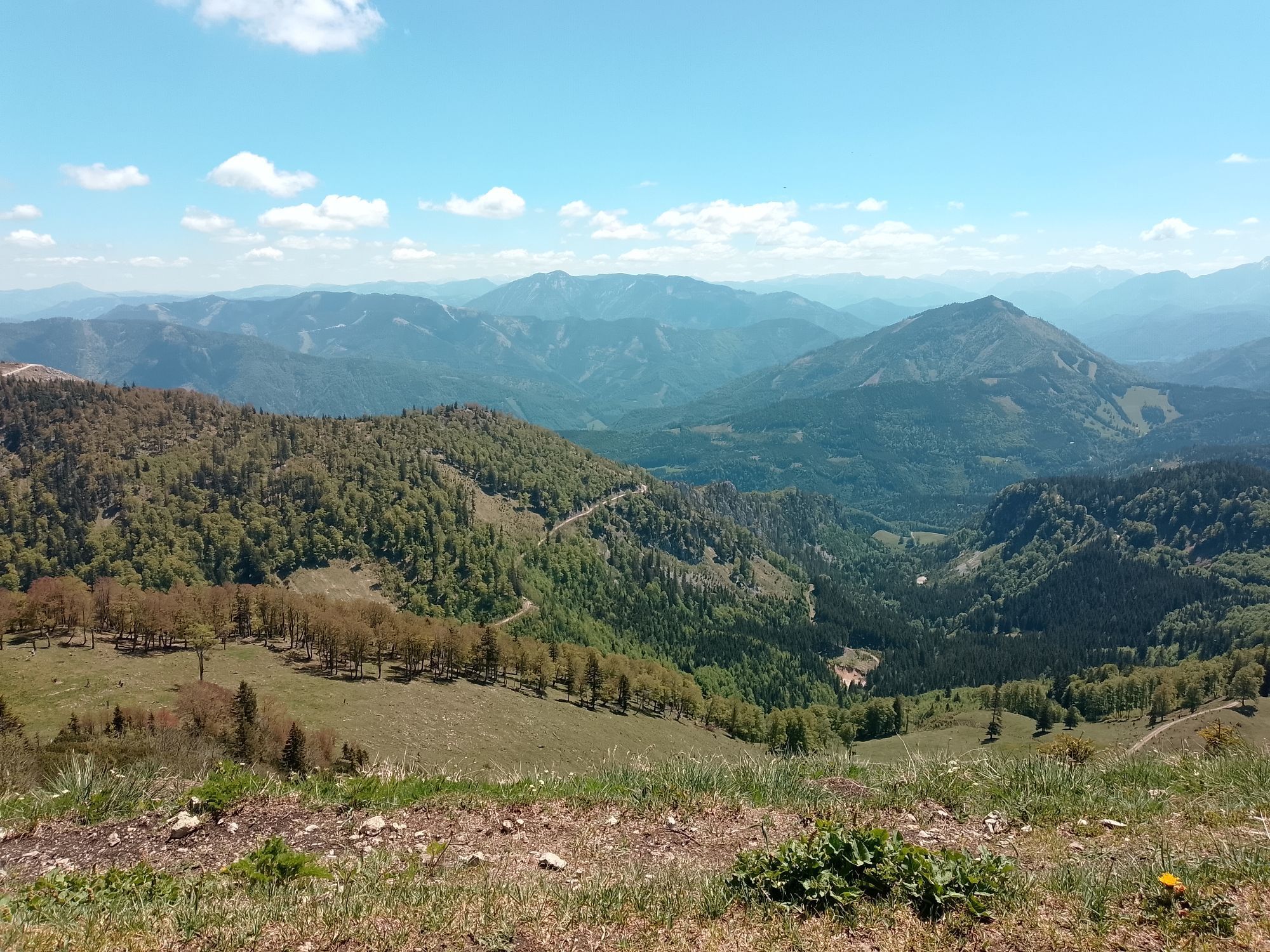
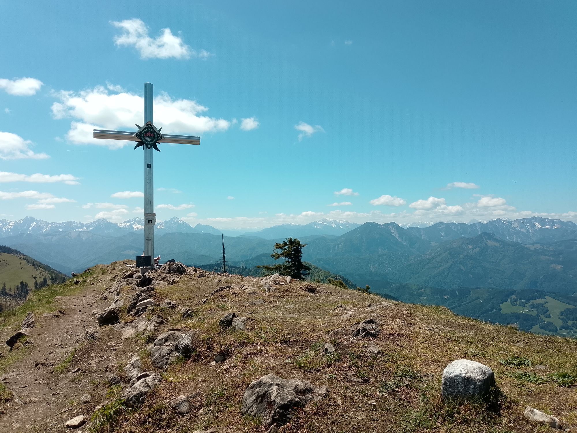
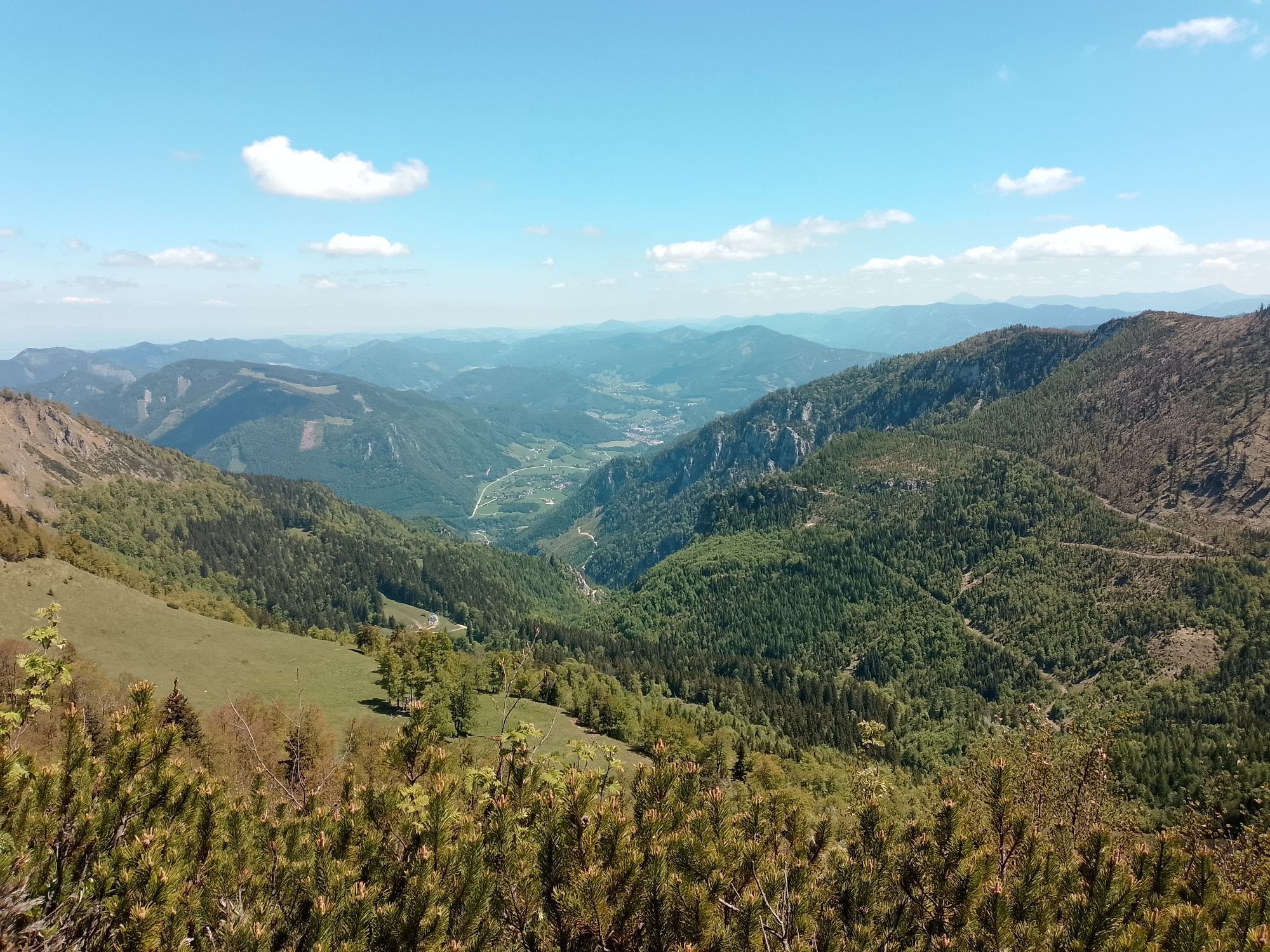
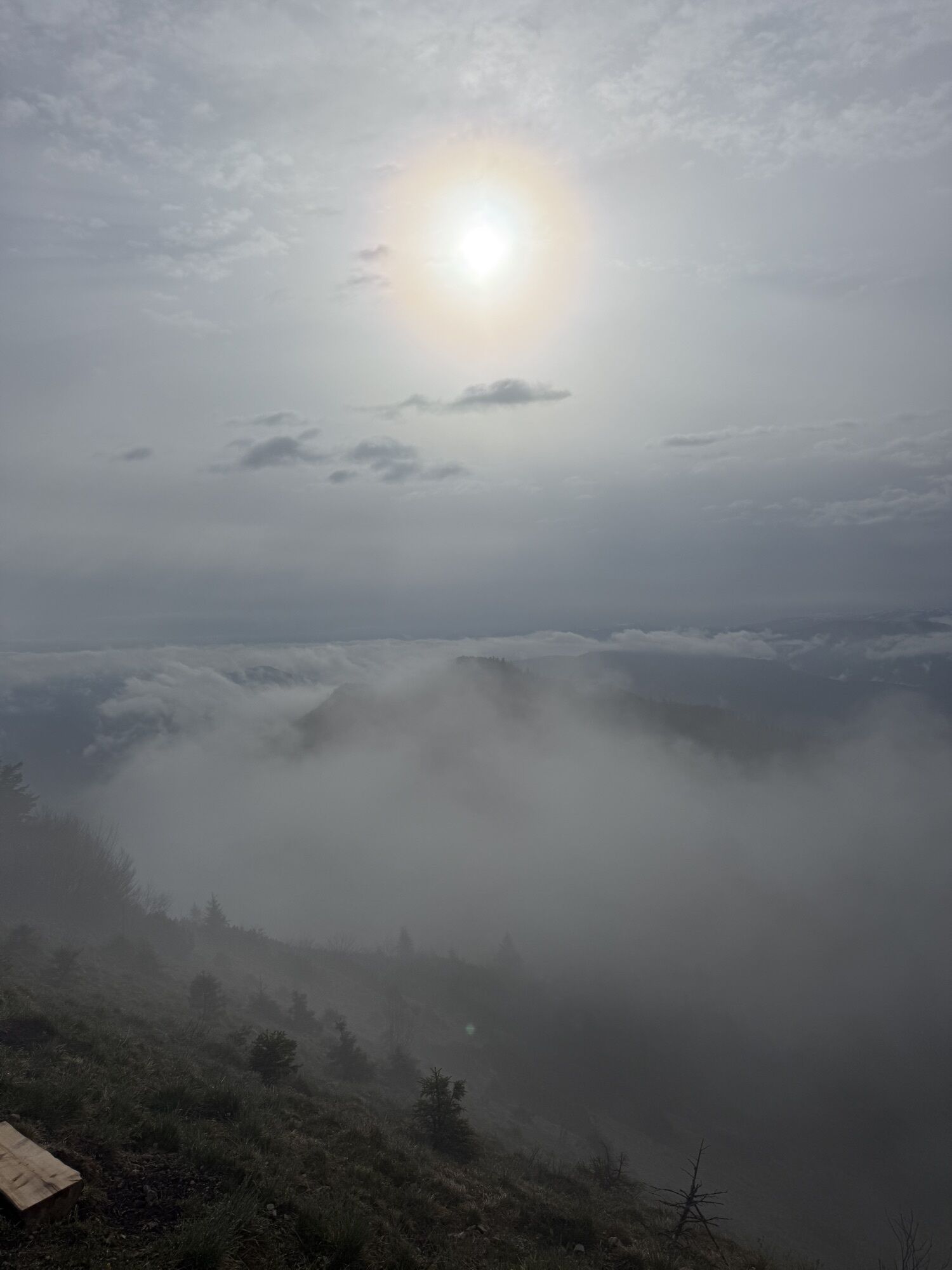
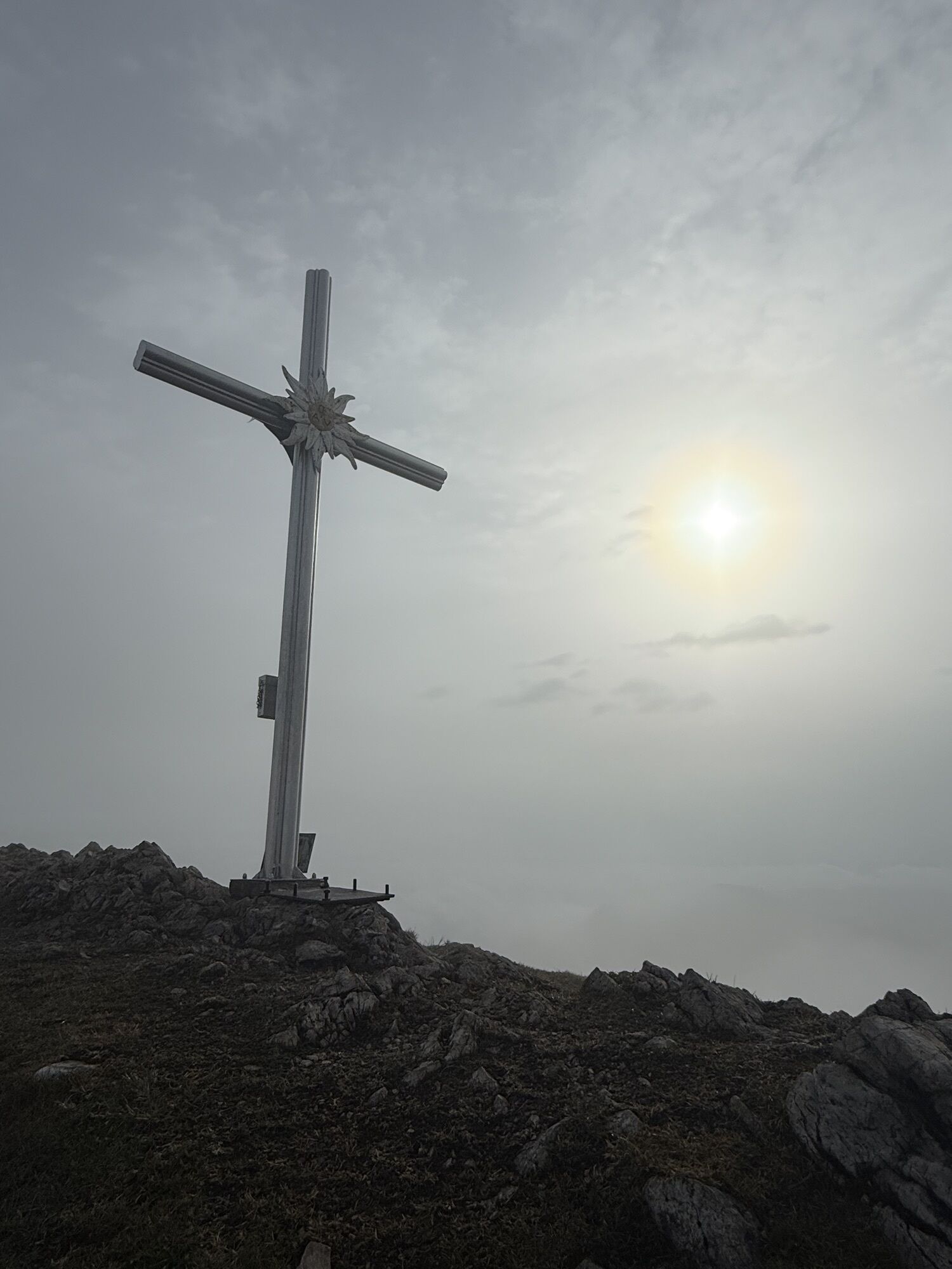
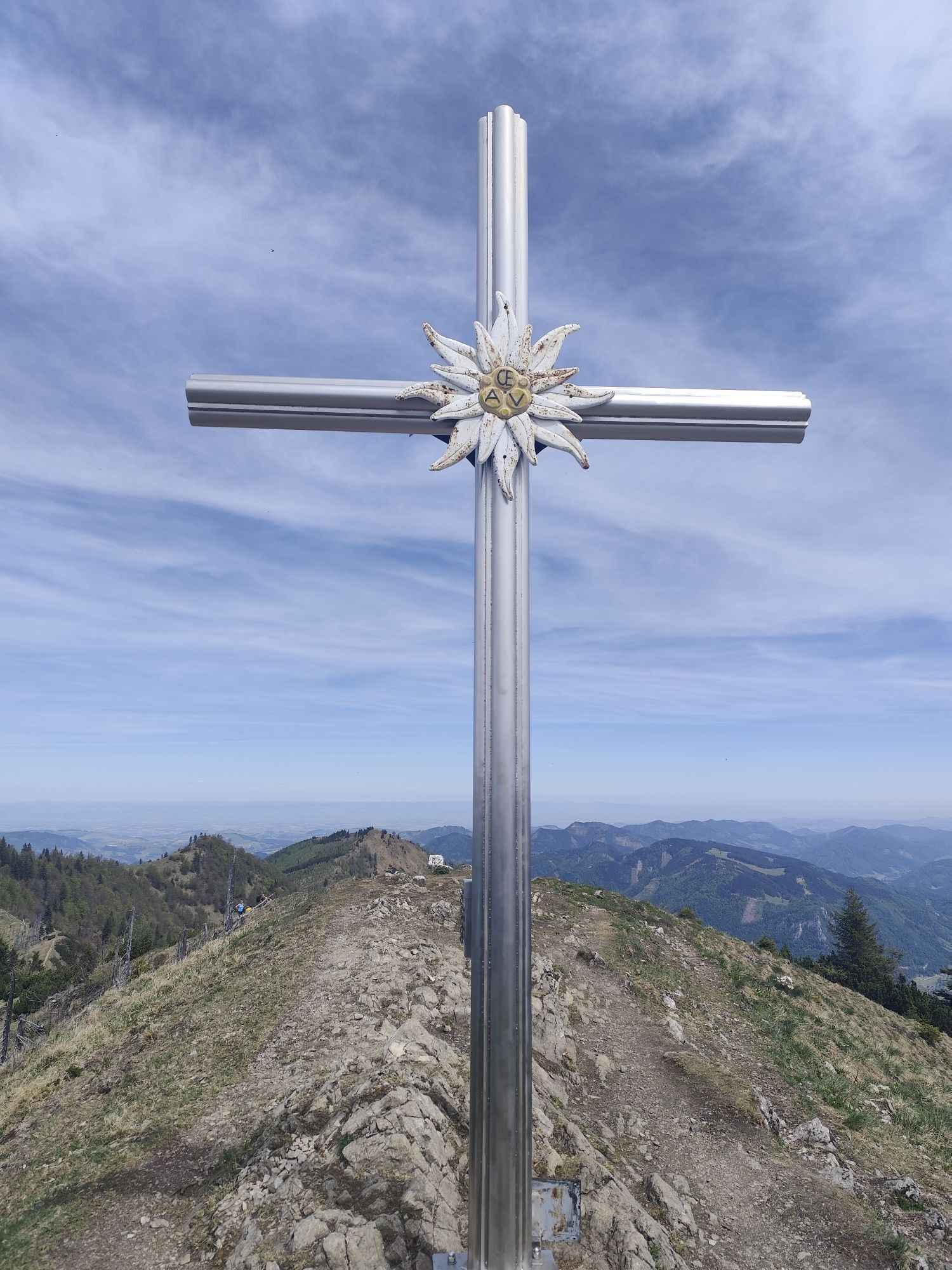
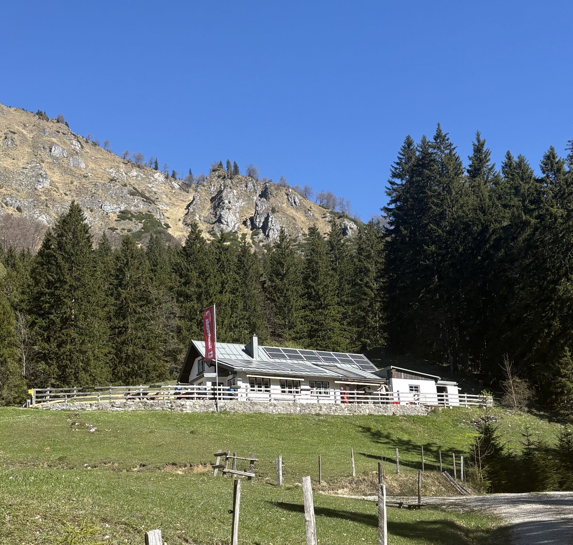
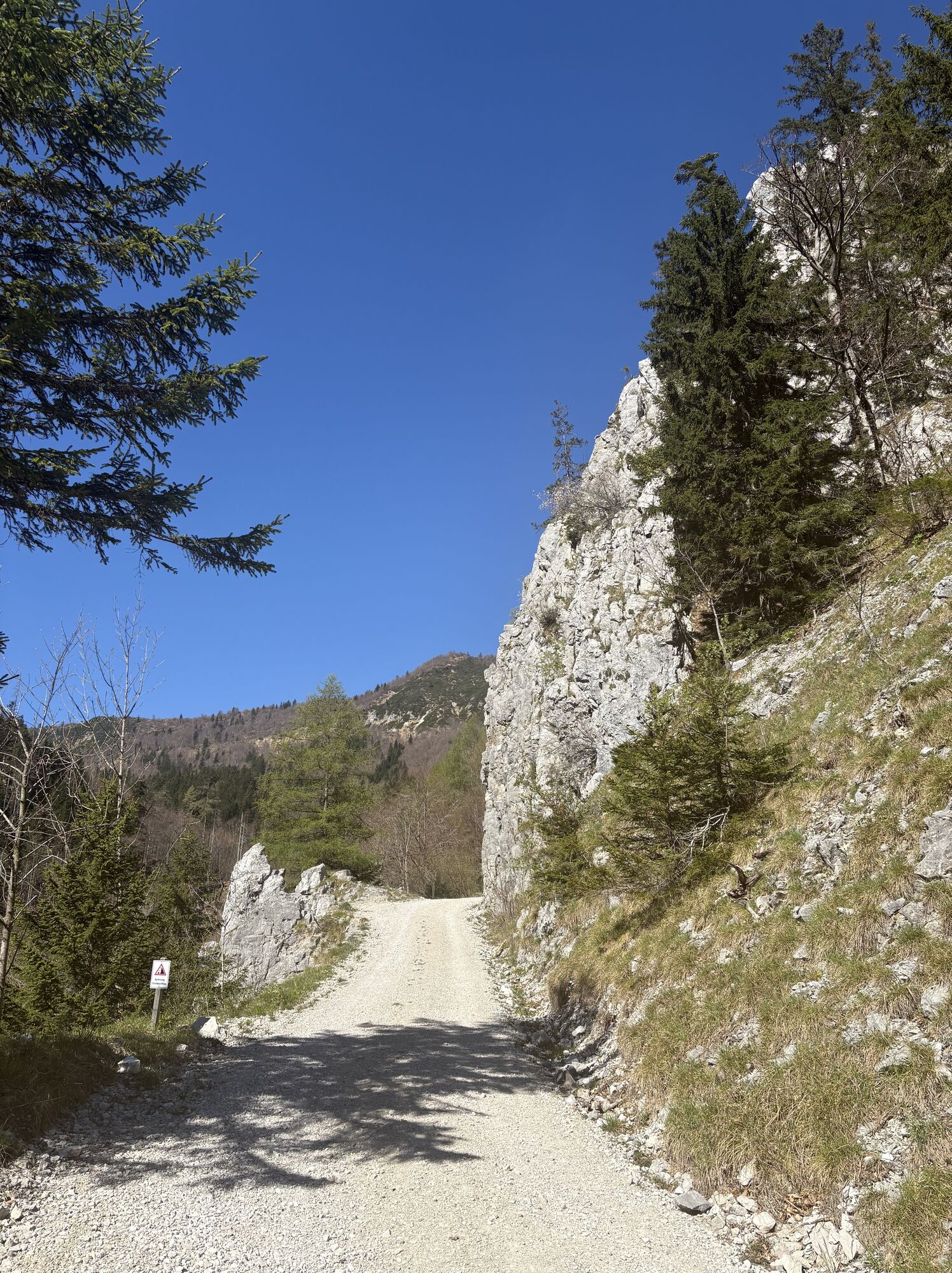
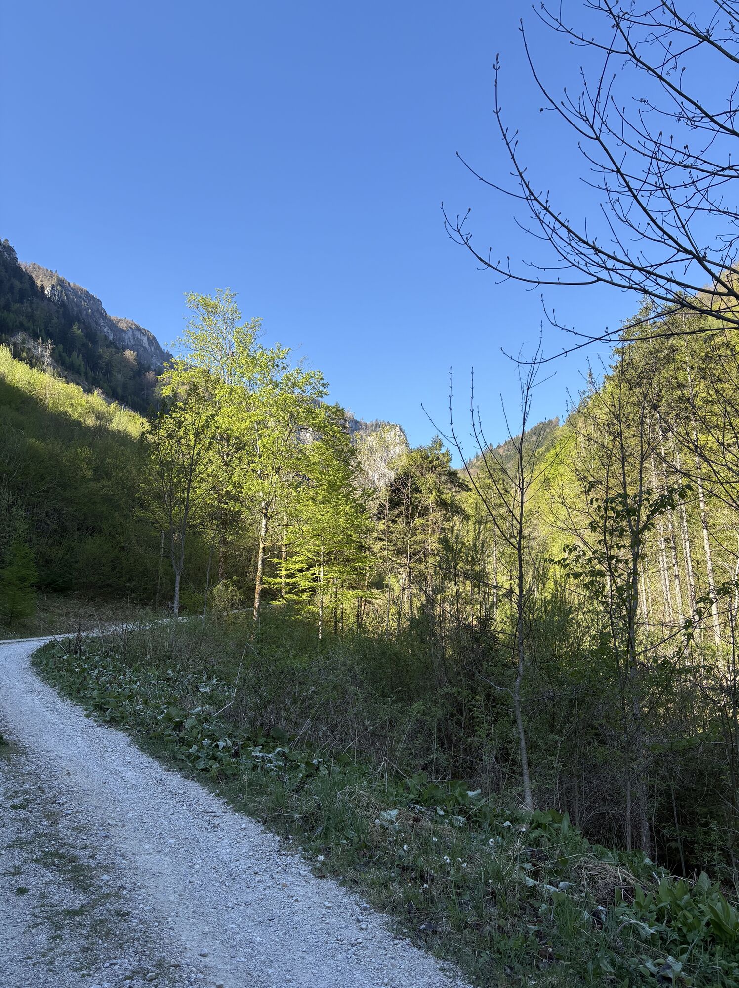
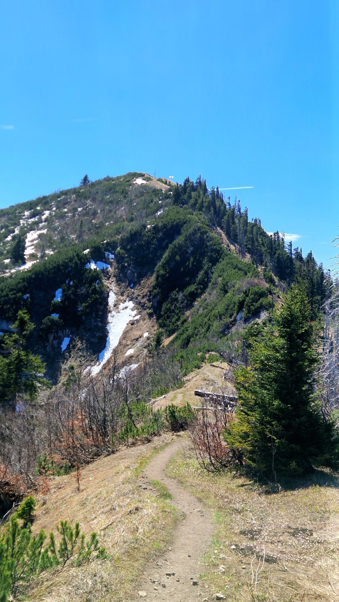
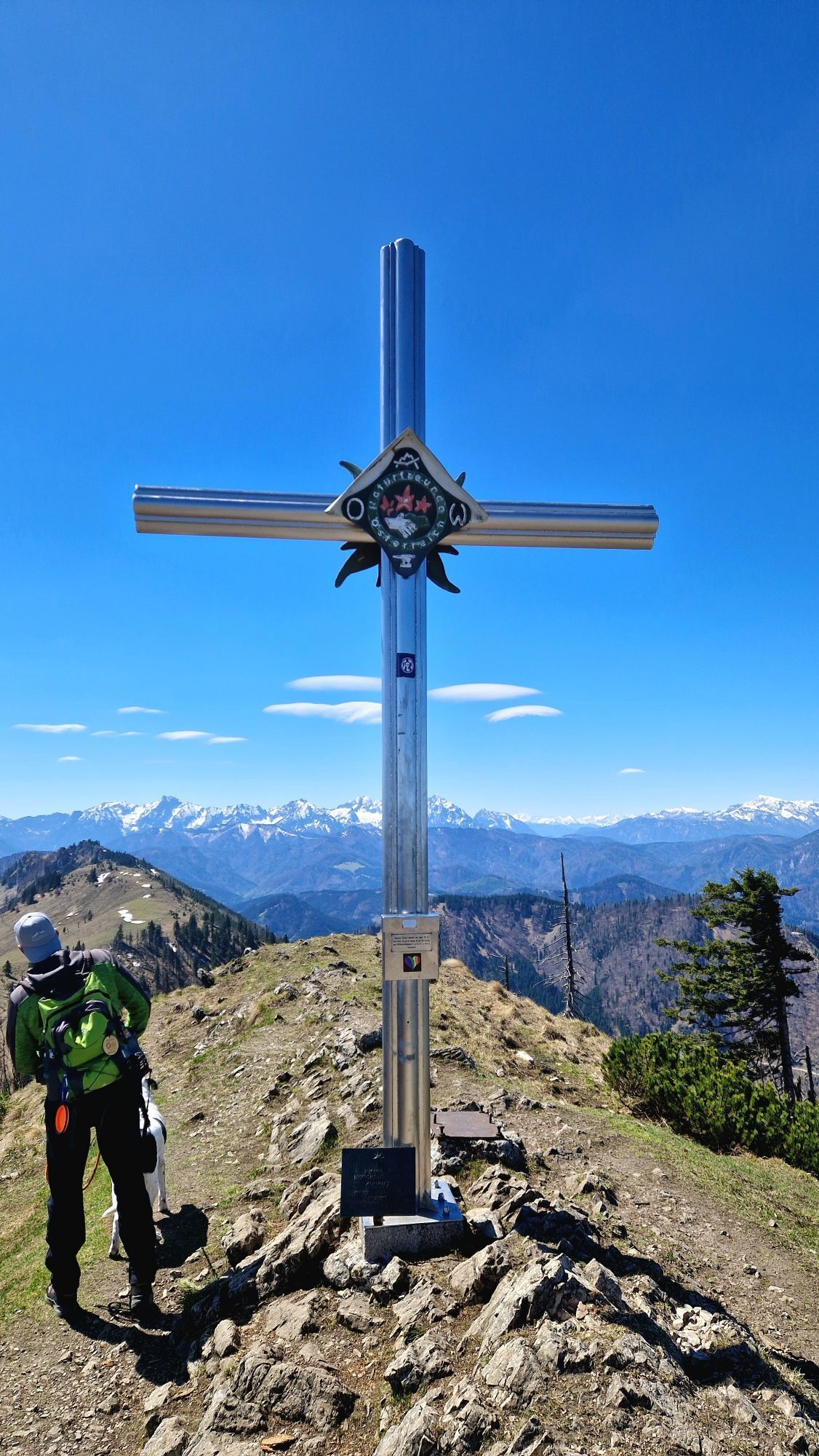
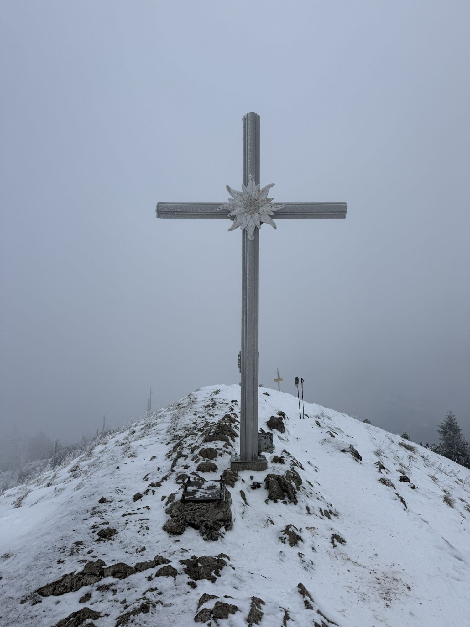
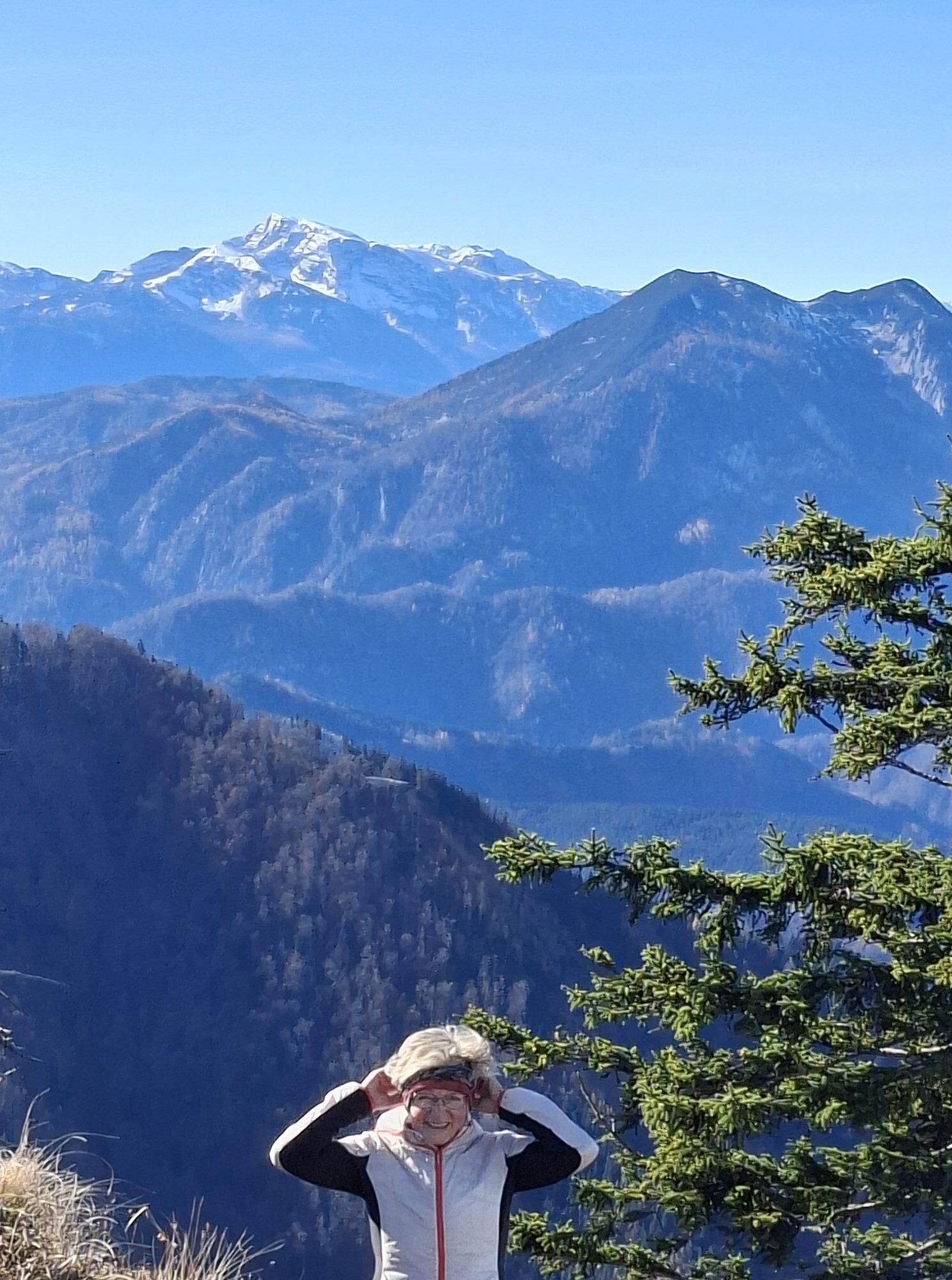
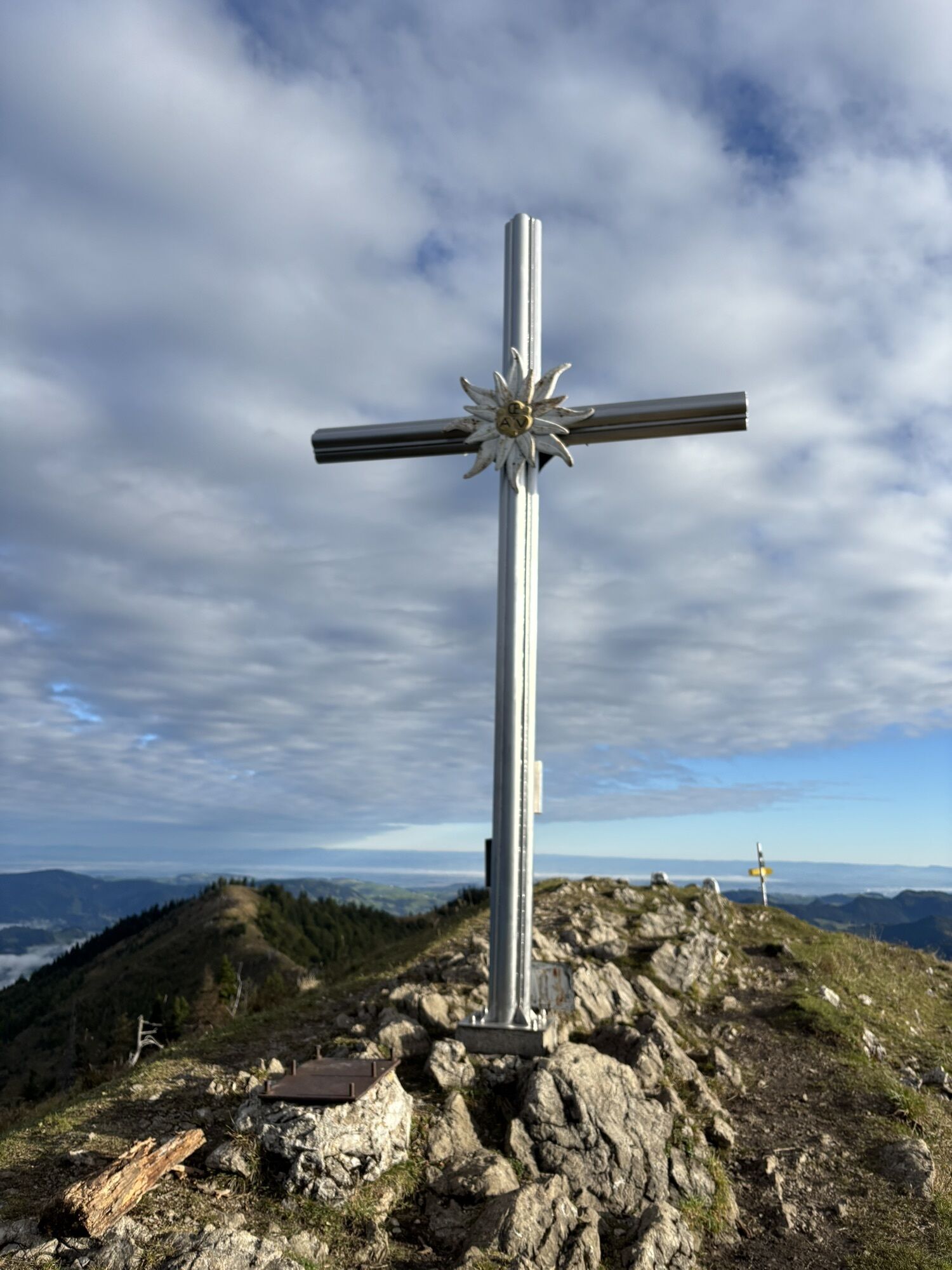
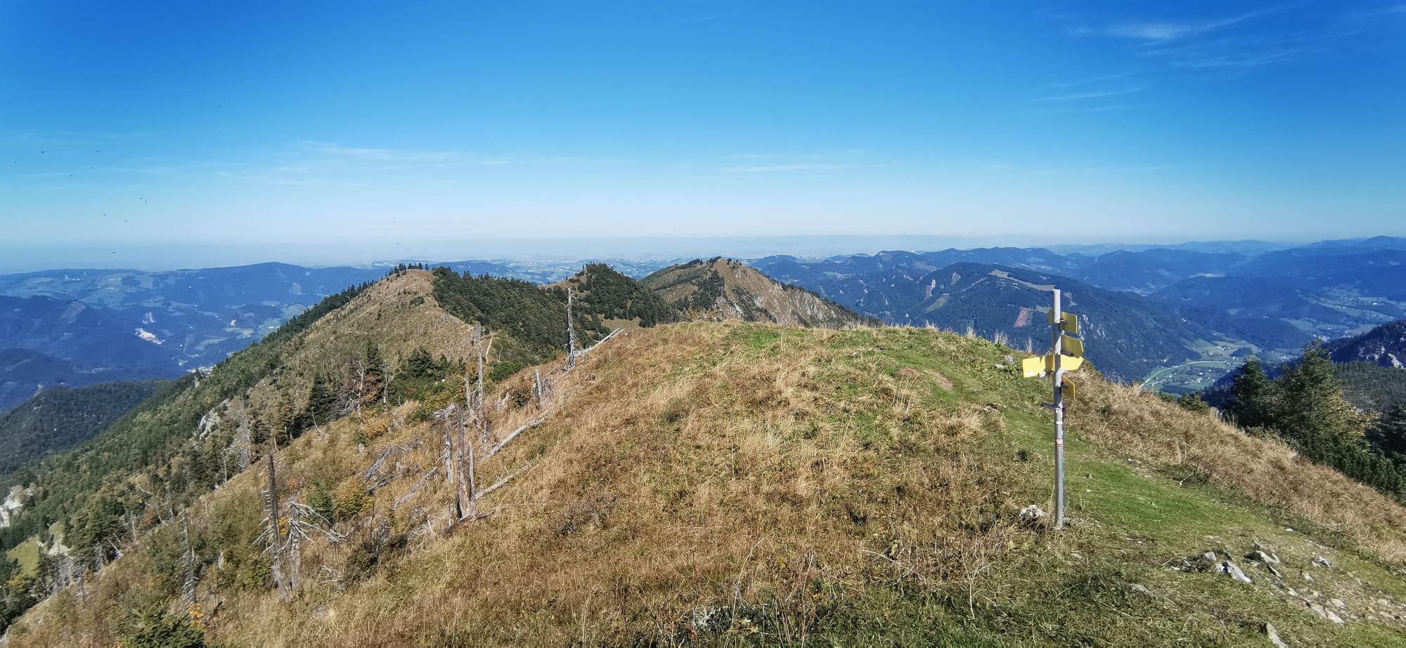
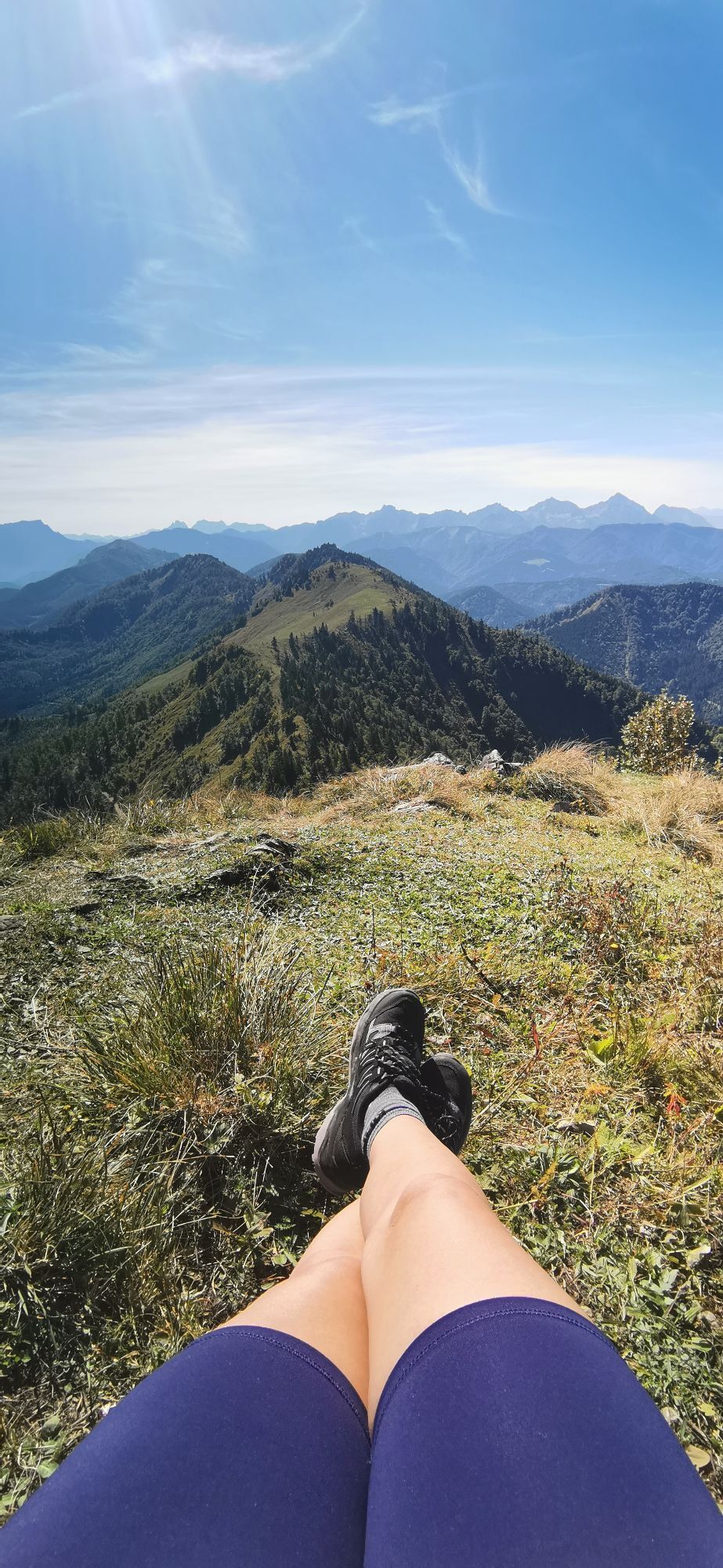
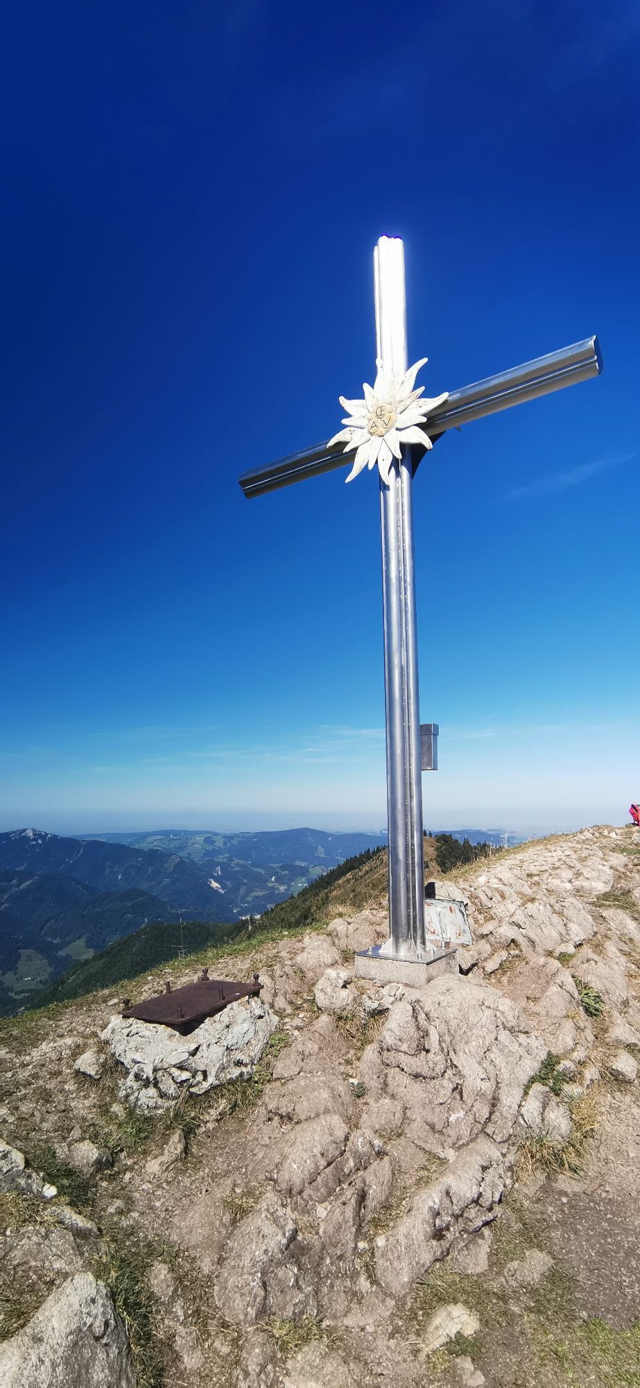
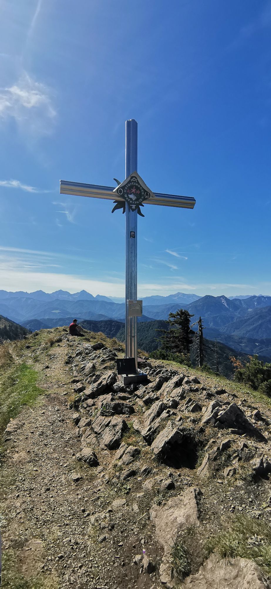
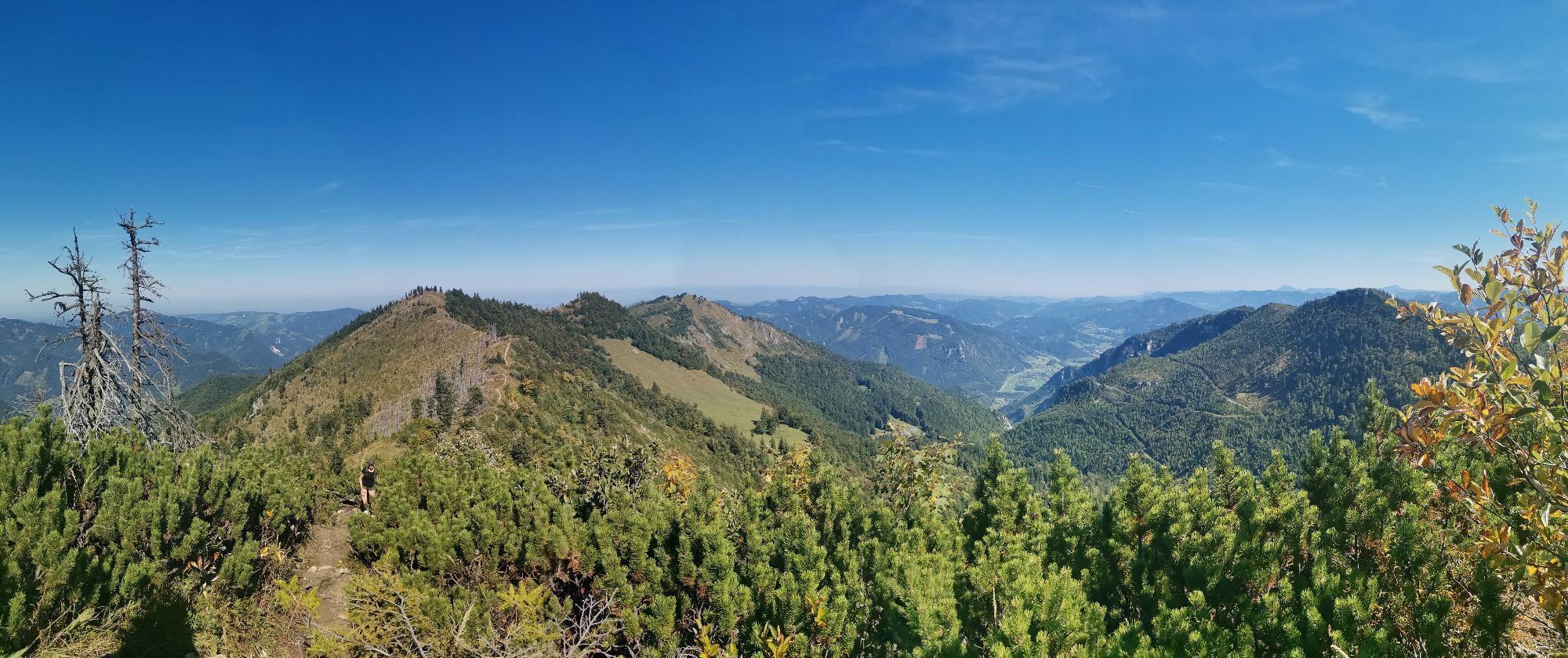
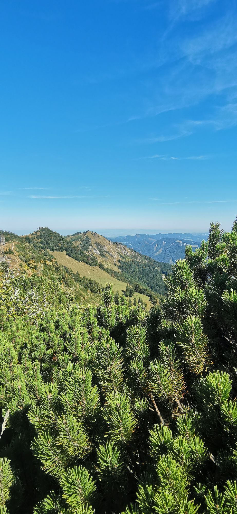
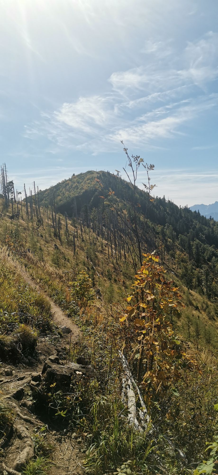
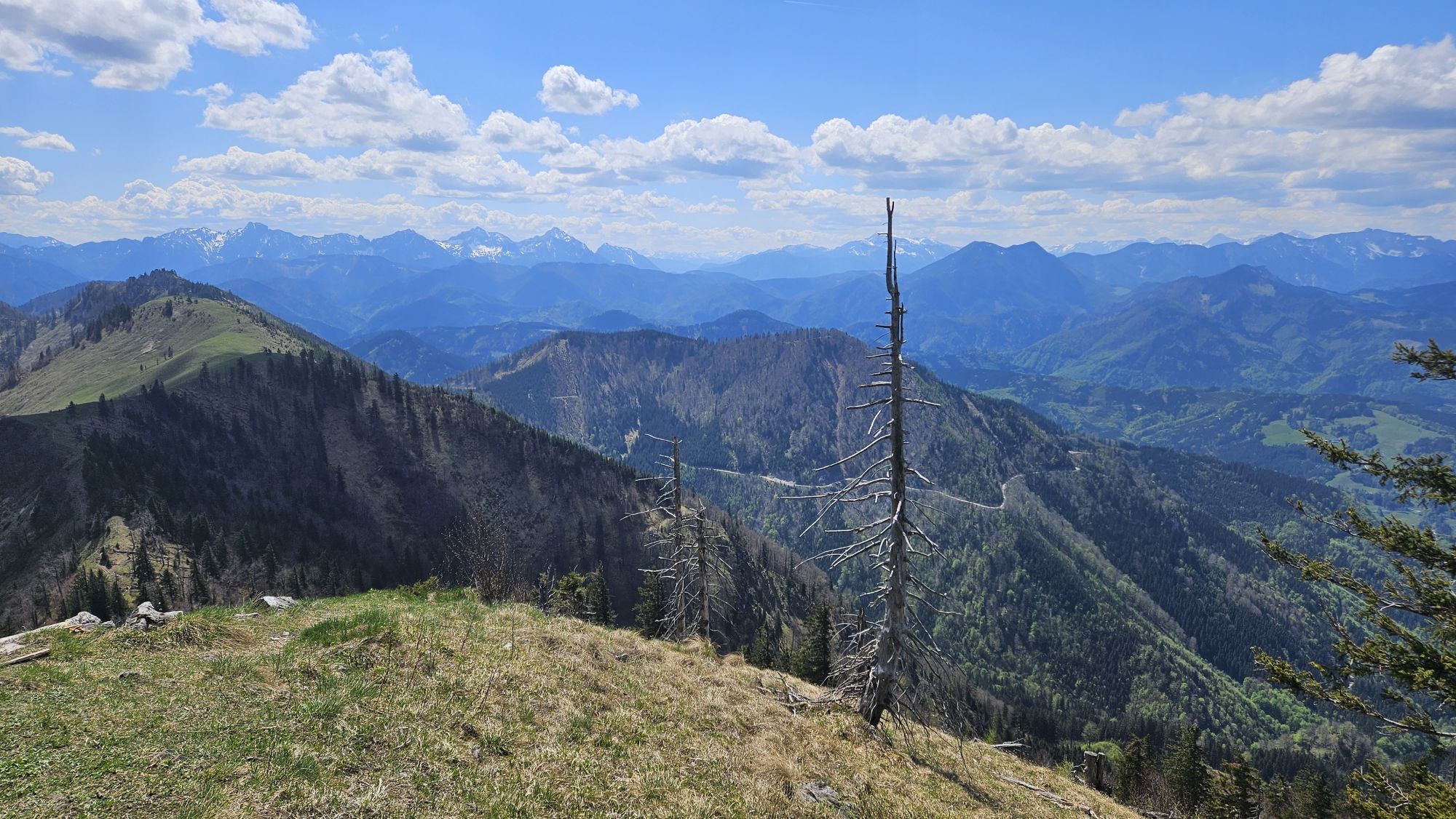
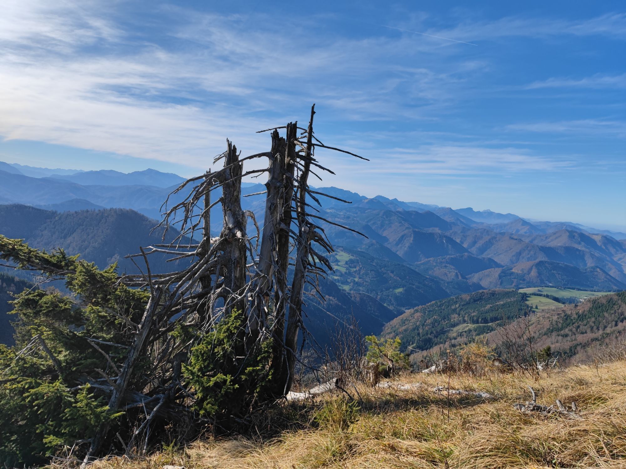
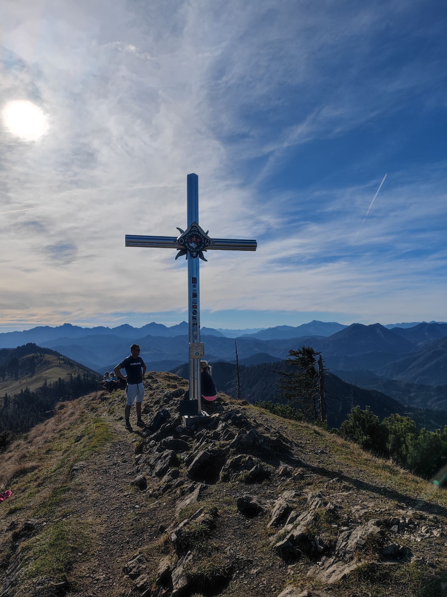
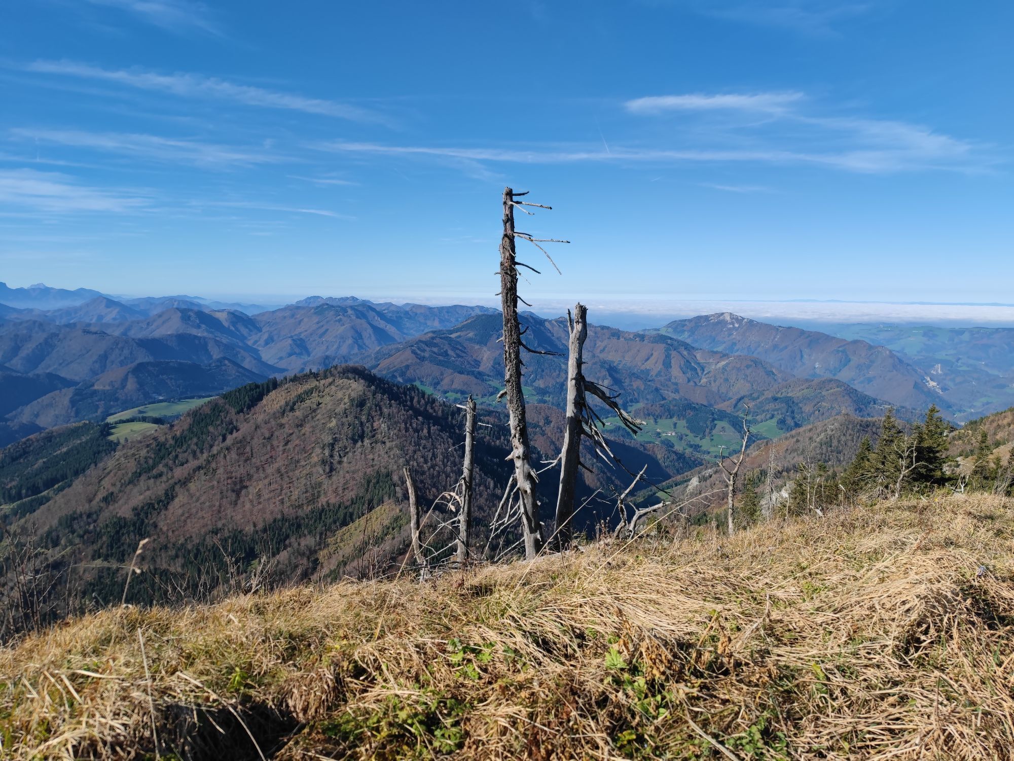
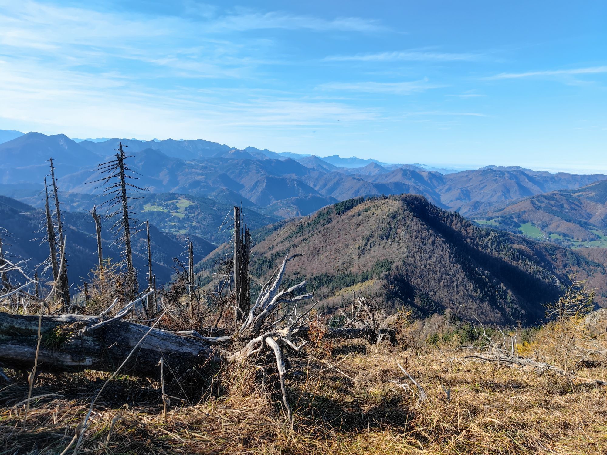
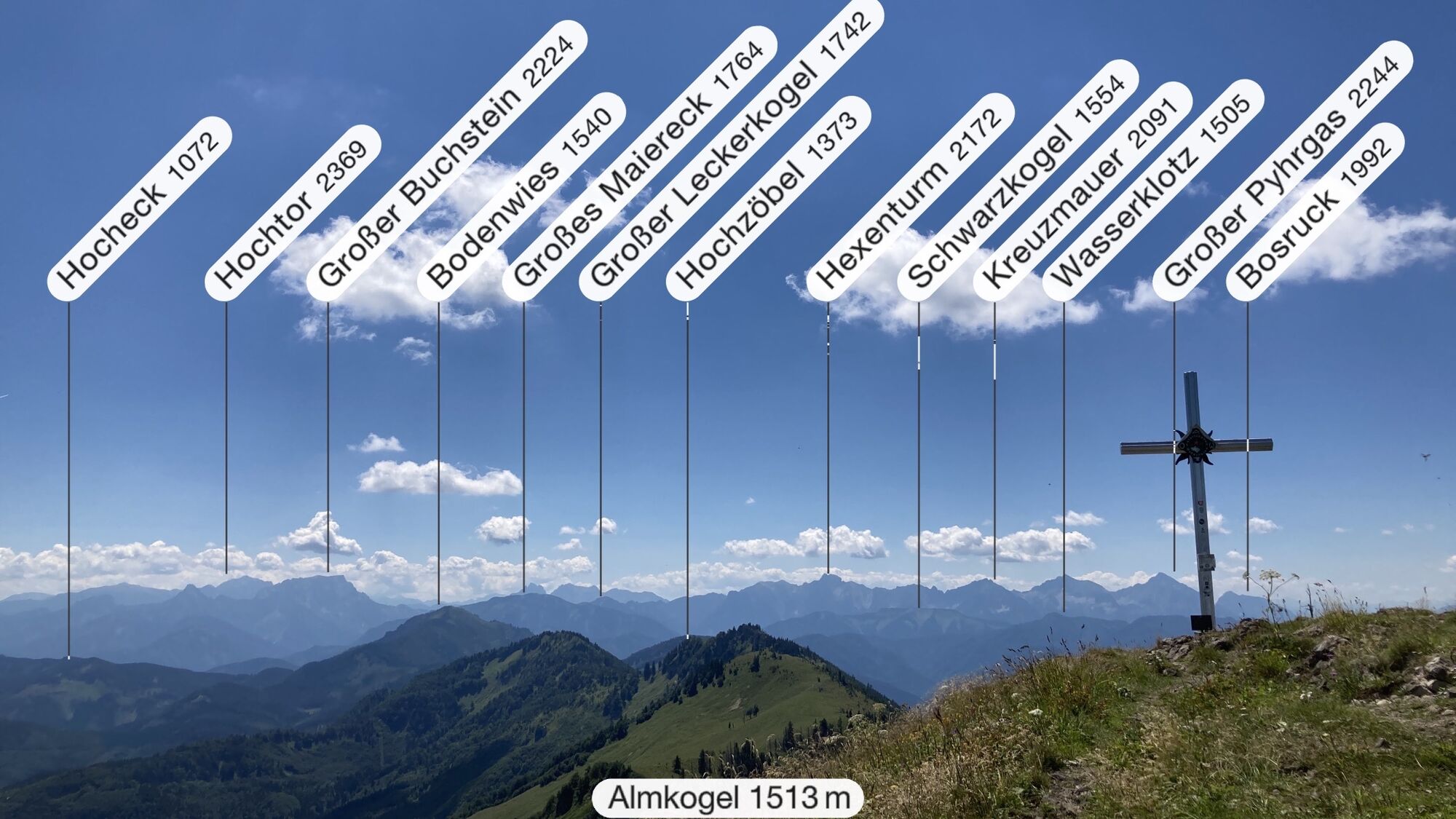
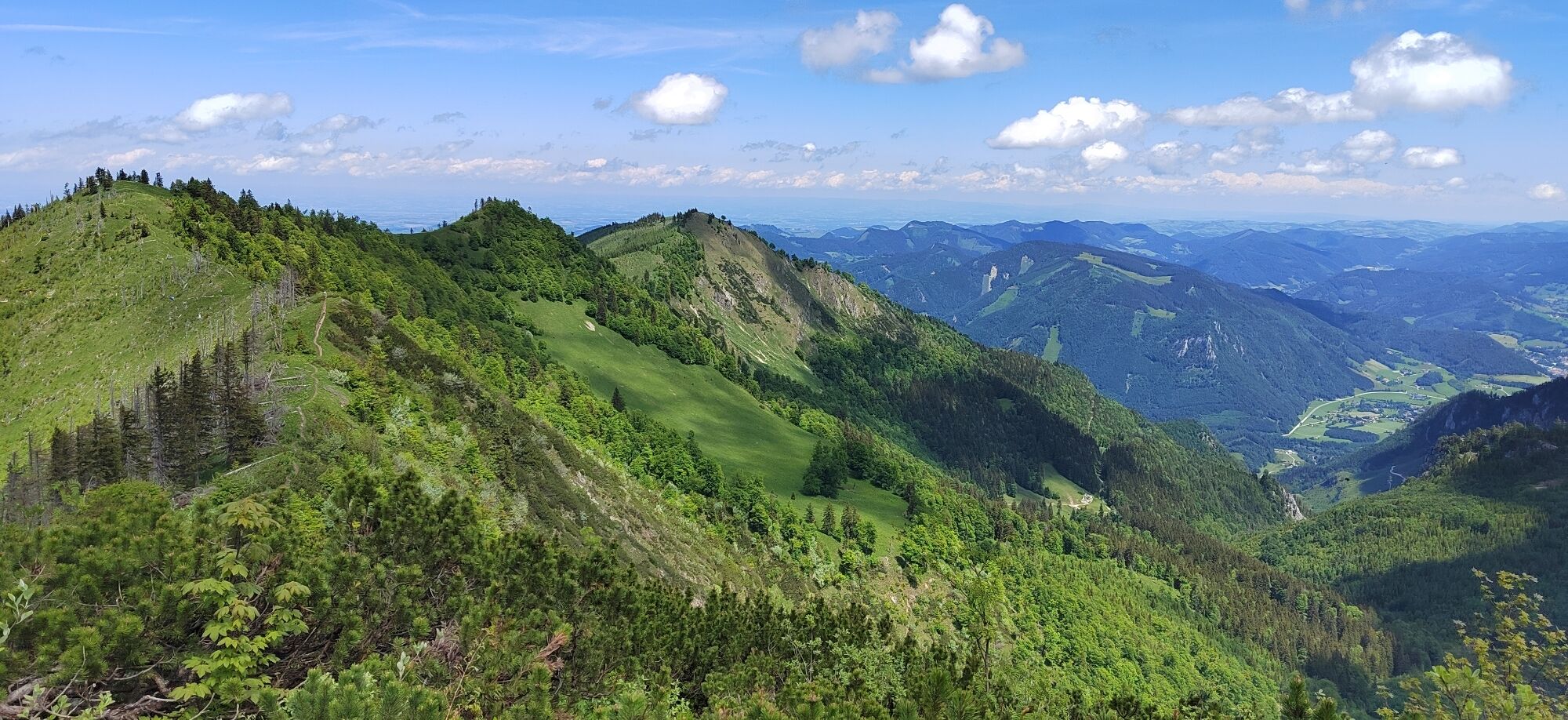
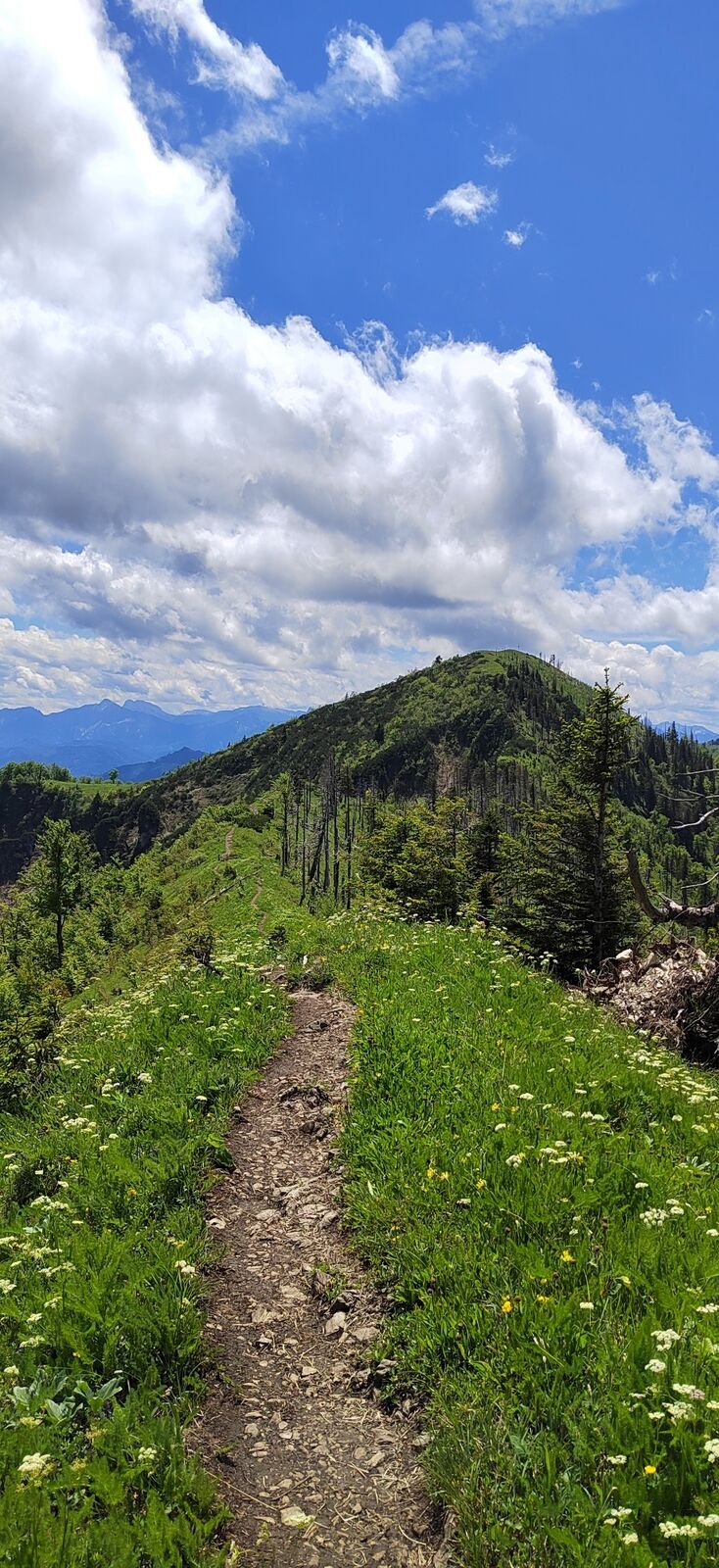
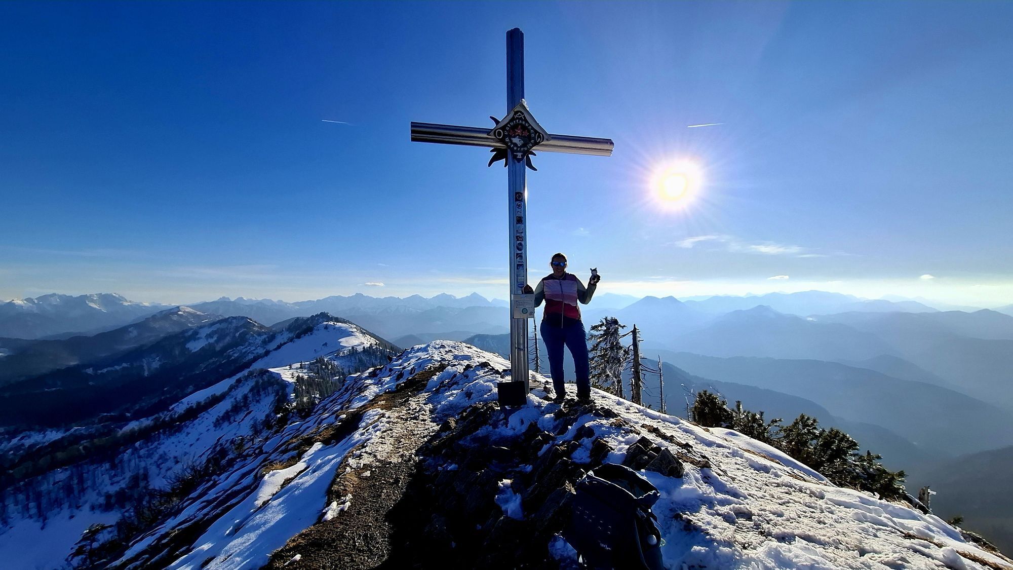
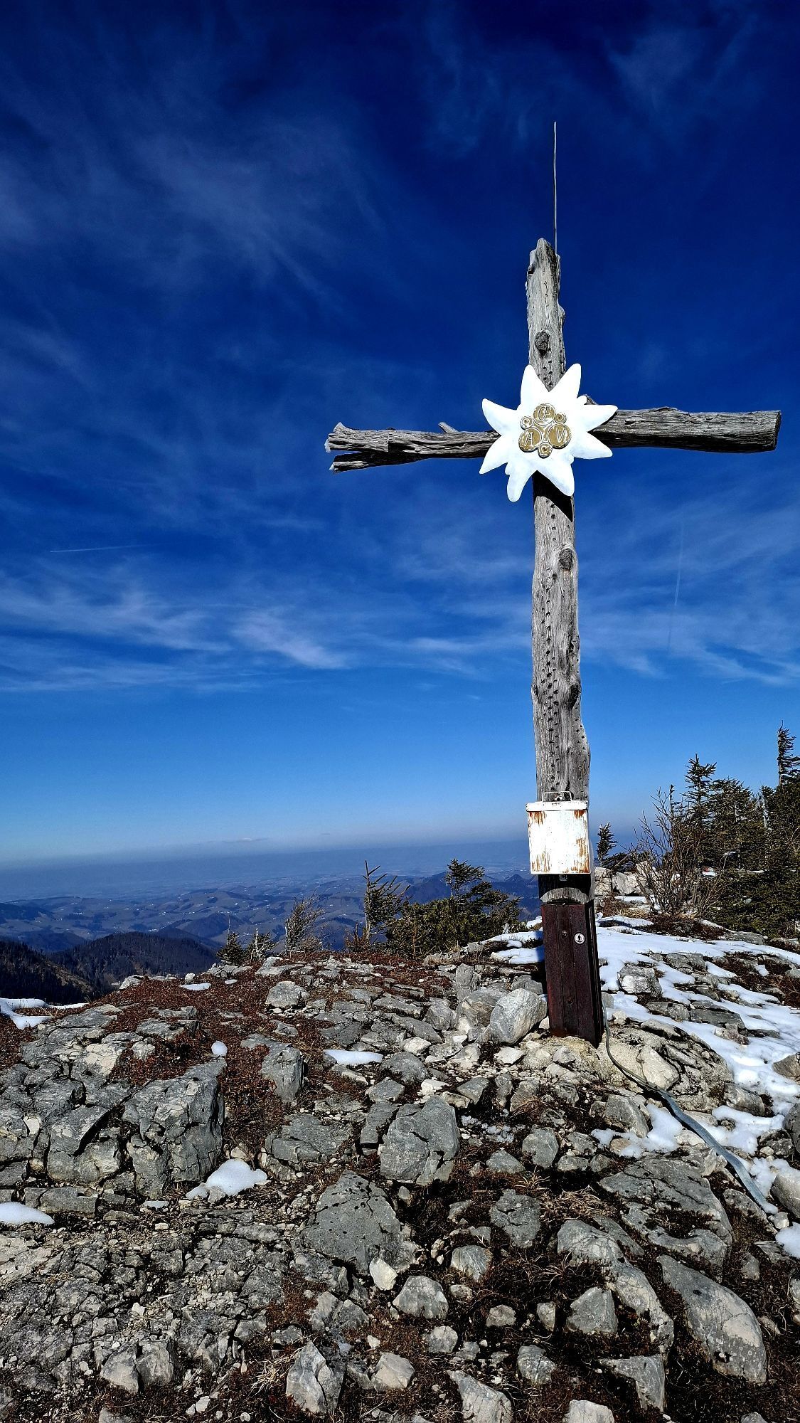
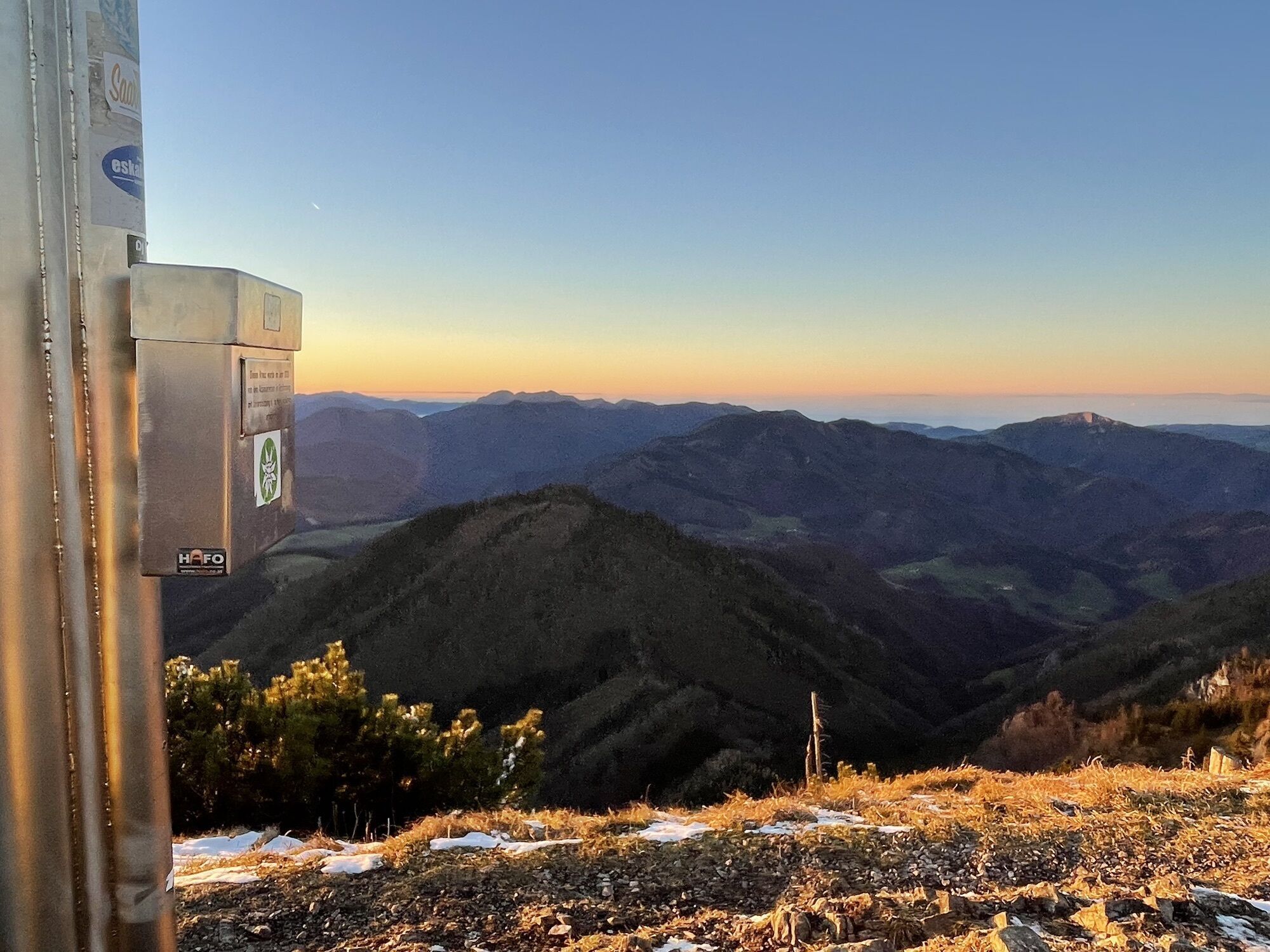
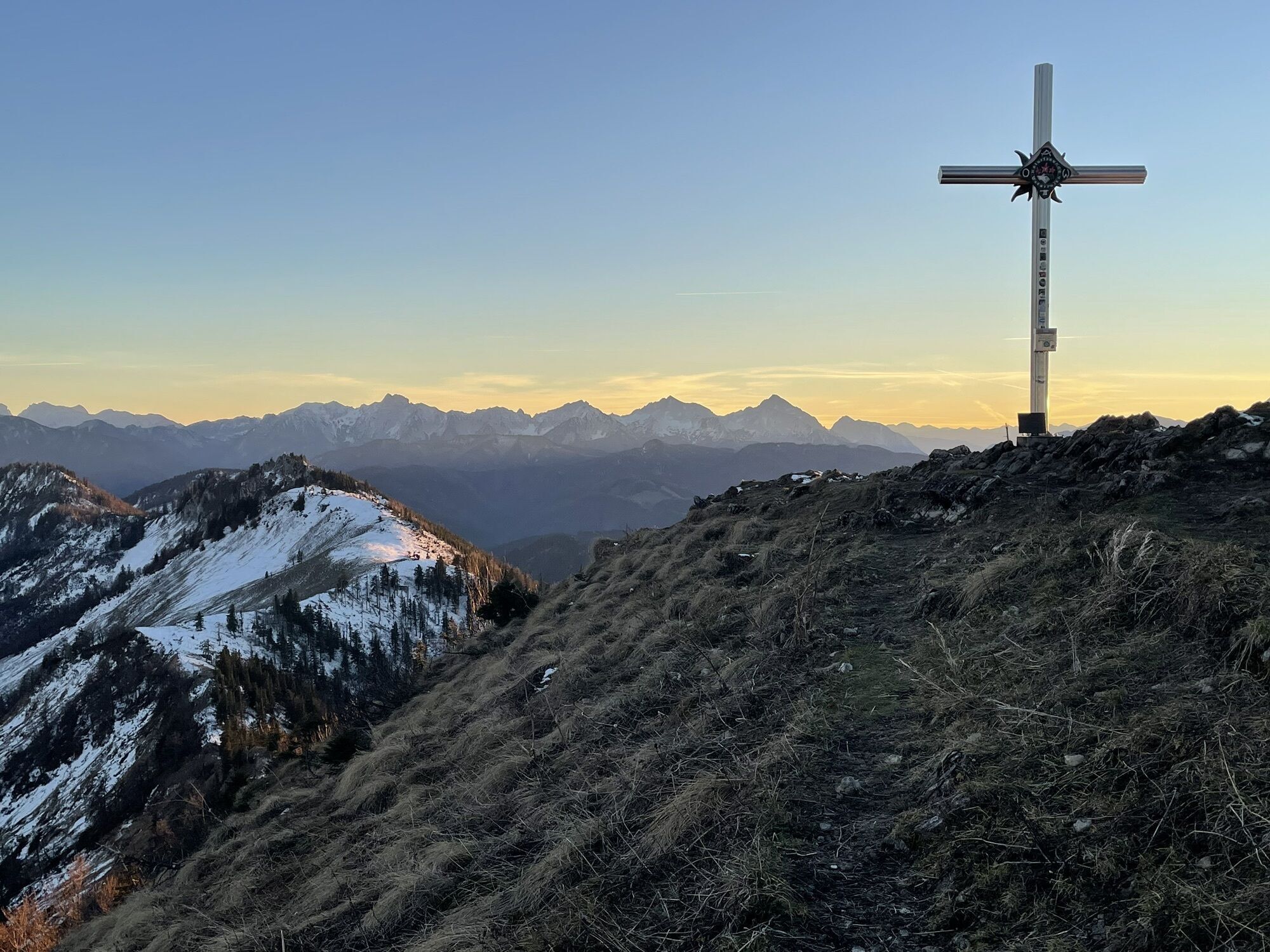
From the Stallburgalm car park in Küpfern, the hiking trail leads under the viaduct into the valley and upwards. Past a hunting lodge, a wayside shrine, and after a short detour through the forest, you reach the Stallburgalm. The trail continues on the south slope of the Weyrer Bögen along the marked hiking trail up to the ridge of the Dürrensteigkammes. From there it is only a short distance to the Almkogel (1,513 m) and via the crossing, the hike can be extended to the Hühnerkogel (1,474 m).
Trail: 494


From the Stallburgalm car park in Küpfern, the hiking trail leads under the viaduct into the valley. After a short time, the asphalt road ends and on the hiking trail and then on the forest road, the path gently ascends in switchbacks. Past a hunting lodge, a wayside shrine, and after a short detour through the forest, you reach the Stallburgalm (1,032 m). The trail continues on the south slope of the Weyrer Bögen along the marked hiking trail, initially moderately steep, up to the ridge of the Dürrensteigkammes. From there, it is only a short distance to the Almkogel (1,513 m) with a magnificent panoramic view. Via the crossing, the hike can be further extended to the Hühnerkogel (1,474 m).
Tak
Tak
From Vienna: A1 motorway exit Haag > B42 > B122 > B115 into the Enns Valley
From Passau: A8 Passau > Wels > A1 motorway exit Enns-Steyr > B115 into the Enns Valley
From Graz: A9 Pyhrnautobahn > motorway exit Klaus > Grünburg > into the Ennstal Valley
Details at www.ooevv.at
Railway Stations are located in Steyr, Garsten, Lahrndorf, Dürnbach, Ternberg, Trattenbach, Losenstein, Reichraming, Großraming, Gaflenz, Weyer, Küpfern, Kastenreith, Kleinreifling and Weißenbach-St. Gallen.
Weyer/Car park in Küpfern
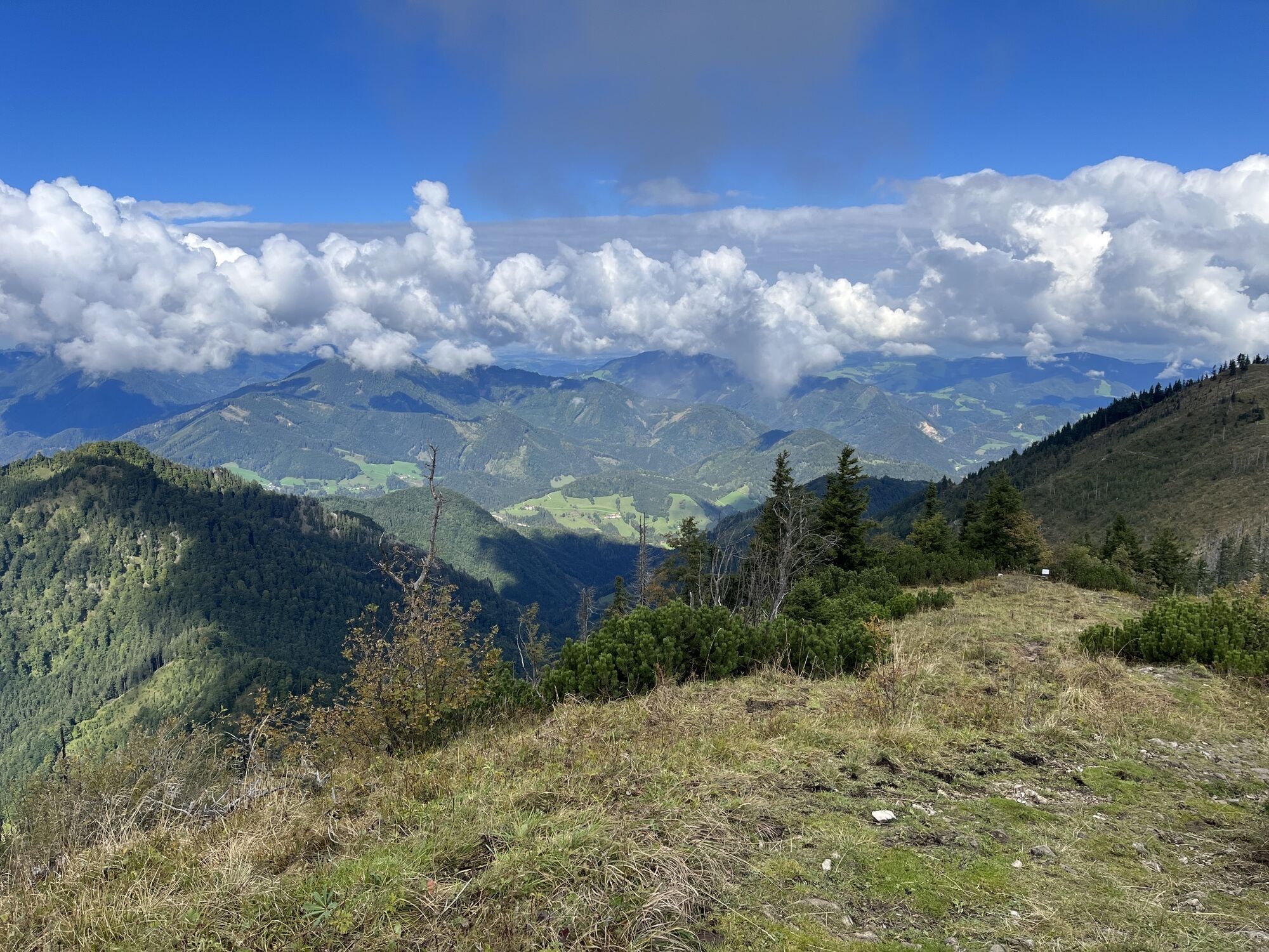
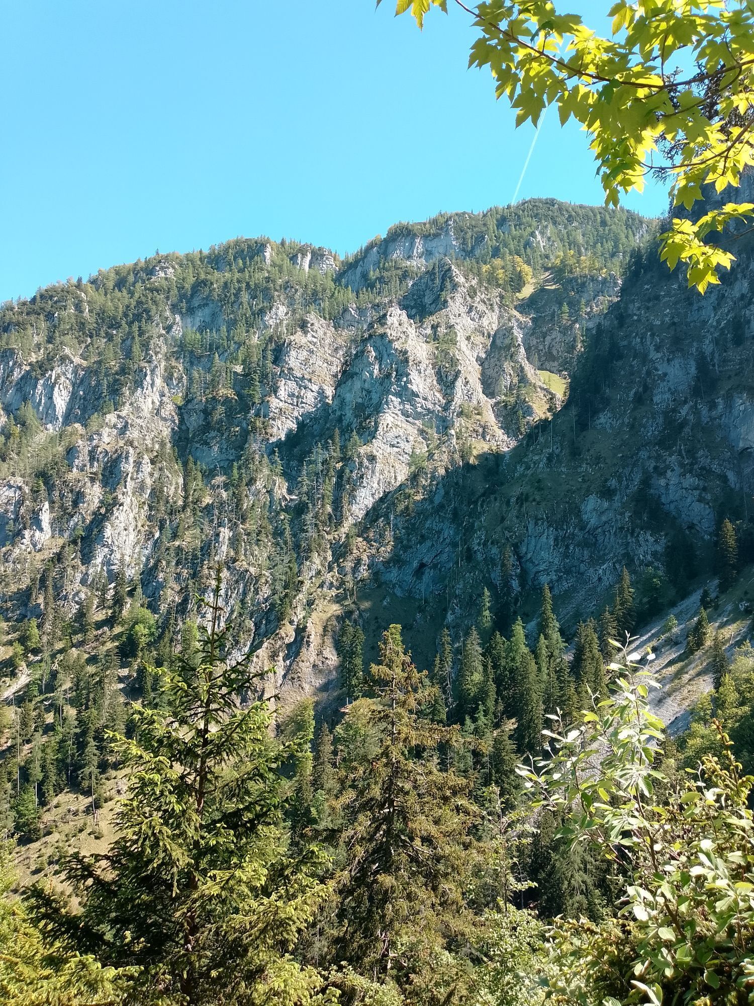
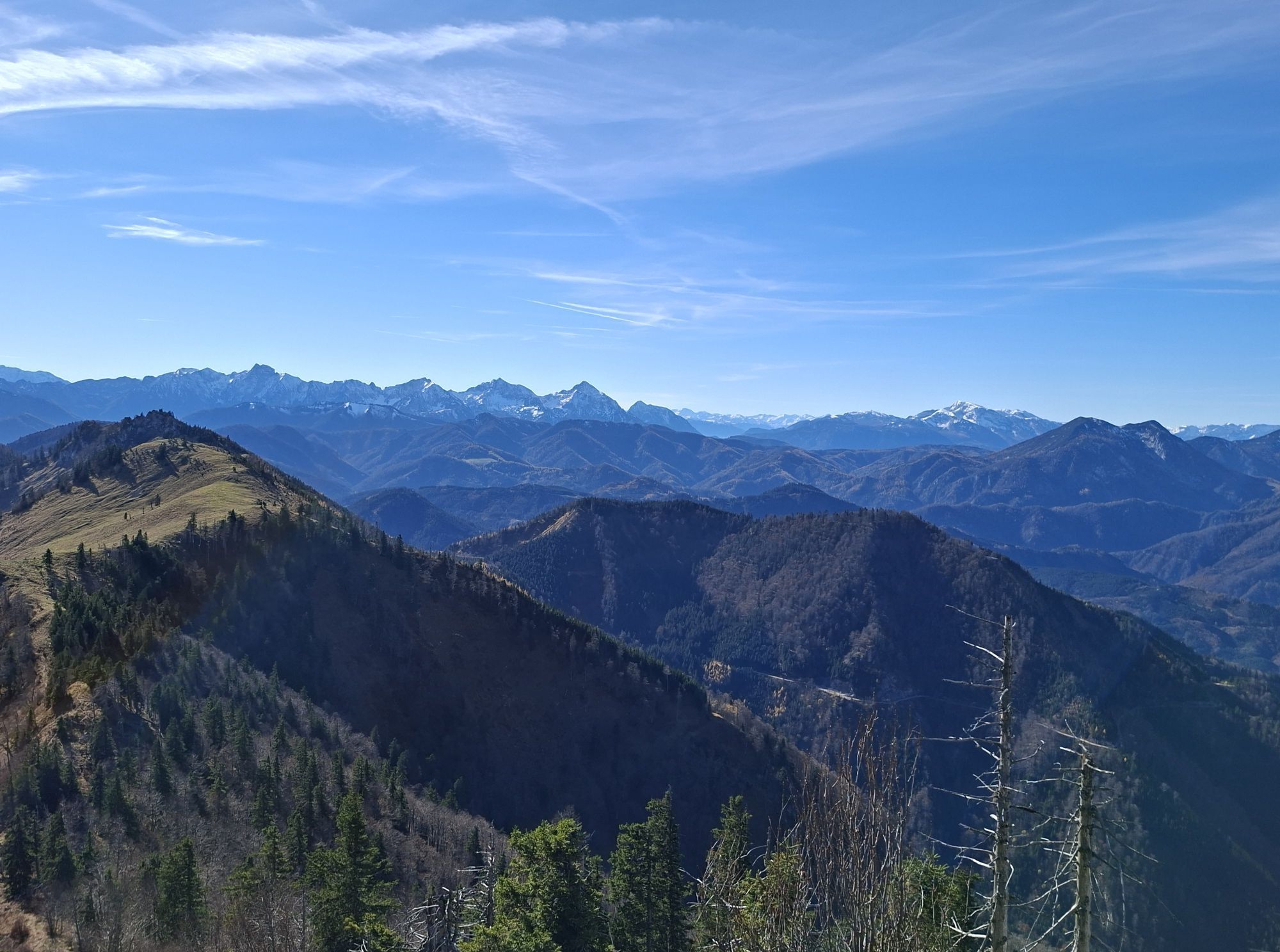
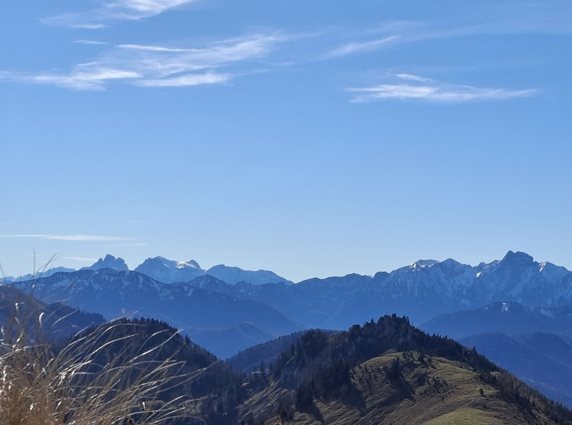
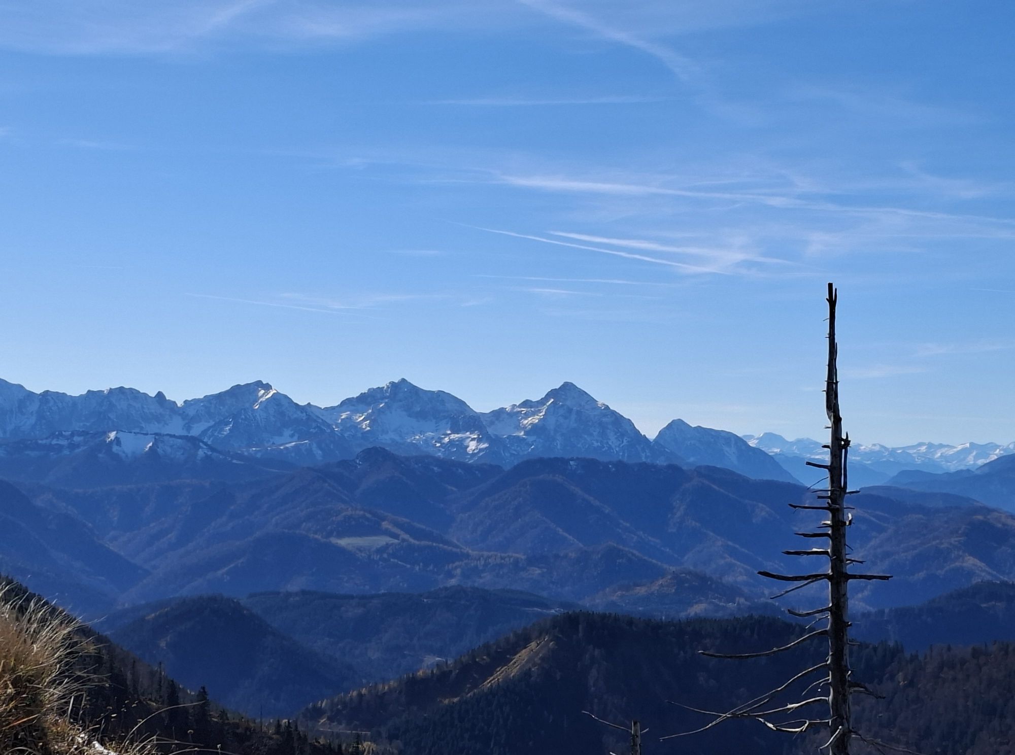
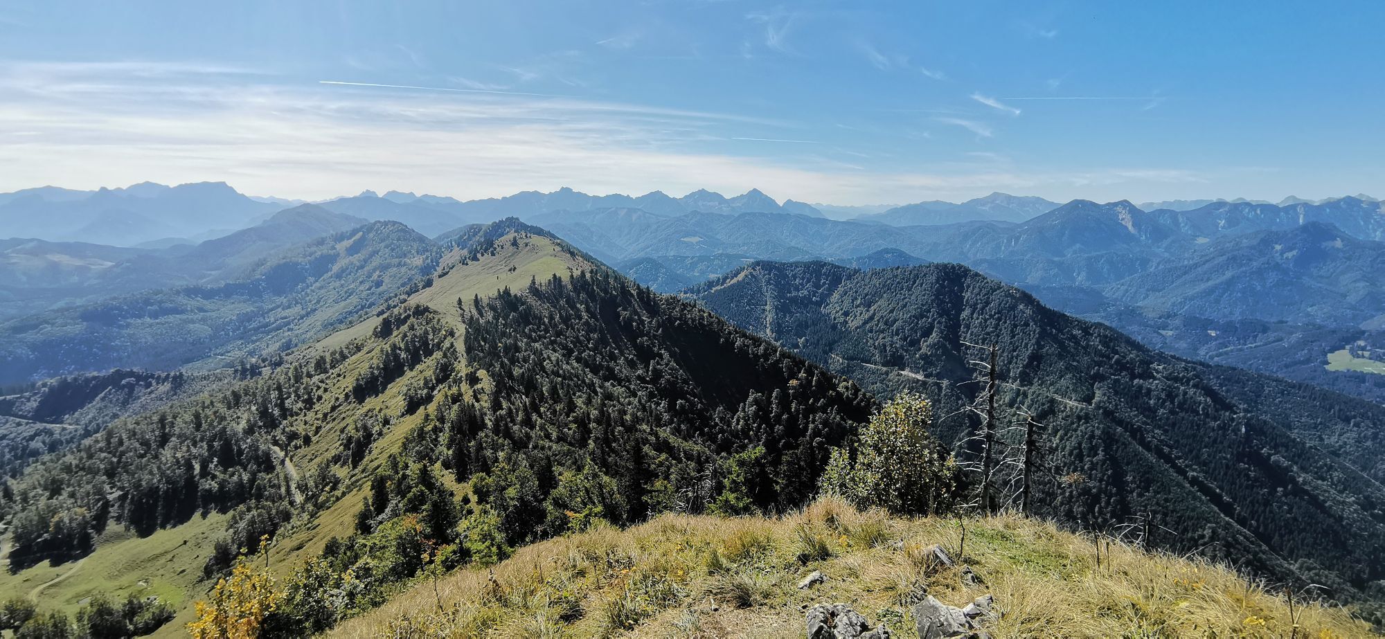
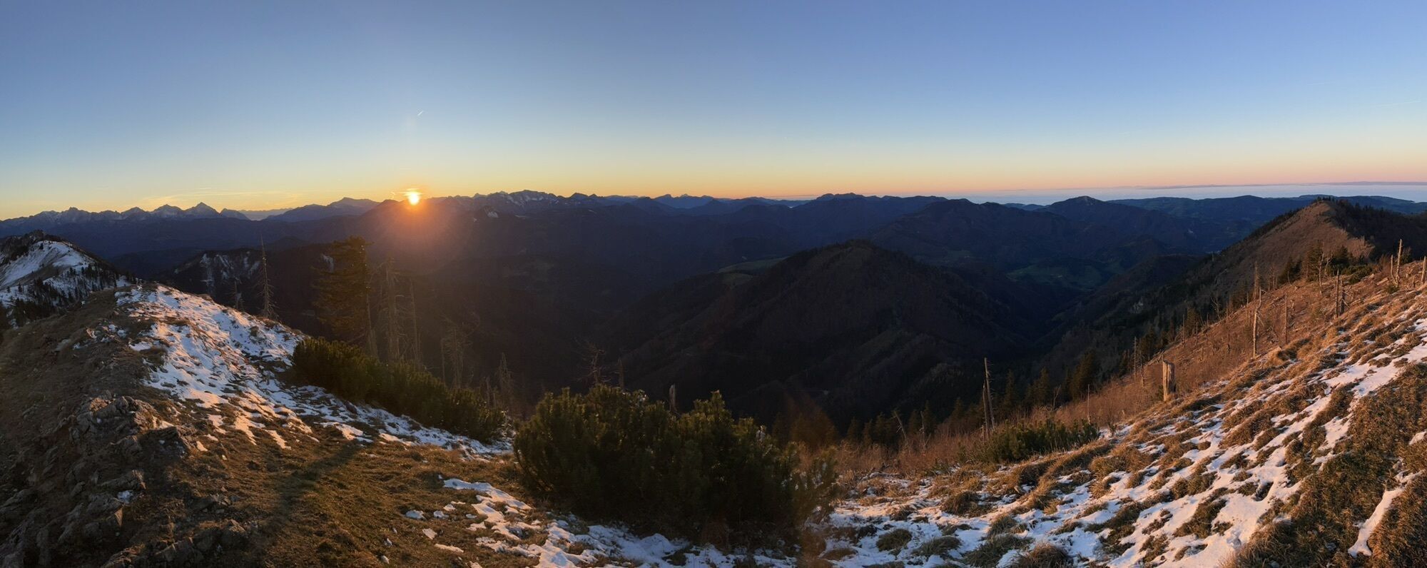
Weyrer Bögen: The hike passes over a part of this geological peculiarity. The mountain range from Gaflenz - Spindeleben and Lindau Mauer - to Weyer/Unterlaussa - Bodenwies runs not from west to east but from north to south. On the mountain ridge between Burgspitz and Almkogel, this phenomenon is very clearly visible.
Climate-friendly to the National Park region – Küpfern station, Kastenreith station: By train you are at the starting point for this hike in about 2 hours from Linz and about 2.5 hours from Vienna.


Popularne wycieczki w okolicy
-
4,9
Ennser Hut - Almkogel (from Bamacher car park)
średniWędrówka 3,53 km -
4,8
Steinerner Jäger (1185m) und Schieferstein (1206m) ab Parkplatz Hochhabichler
średniWędrówka 4,46 km -
4,7
GROSSRAMING Bamacher, Burgspitz, Almkogel, Ennshütte 20240730
średniWędrówka 10 km -
4,3
Freithofberg
średniWędrówka 9,15 km -
4,7
Steinerner Jäger (1185m) und Schieferstein (1206m) ab Parkplatz Hack
ciężkiWędrówka 8,58 km -
4,5
Gamsstein (1275m) und Gschwendtalm ab Parkplatz Brunnbach
średniWędrówka 7,37 km -
4,4
Kleine Gipfelrunde Glasenberg
światłoWędrówka 4,99 km -
3,8
Lindaumauer (1103 m)
Wędrówka 3,40 km -
4,8
R9 Hintergebirgsradweg
średniJazda na rowerze 29,1 km -
4,5
Lindaumauer, Maria Neustift
średniWędrówka 5,53 km
Wędrówki i tropienie


Nie przegap ofert i inspiracji na następne wakacje
Twój adres e-mail została dodana do listy mailingowej.