






Kalkalpenweg Stage 1
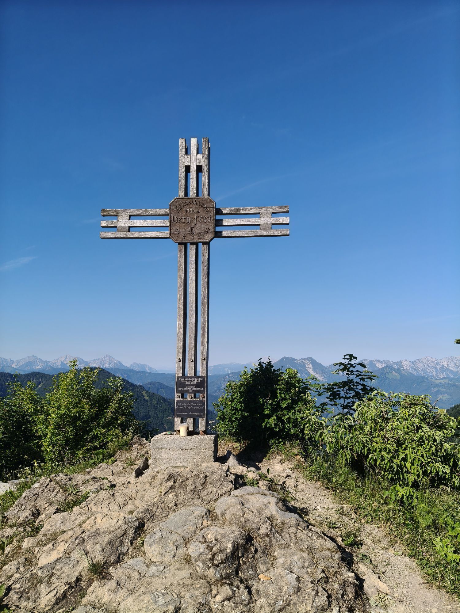
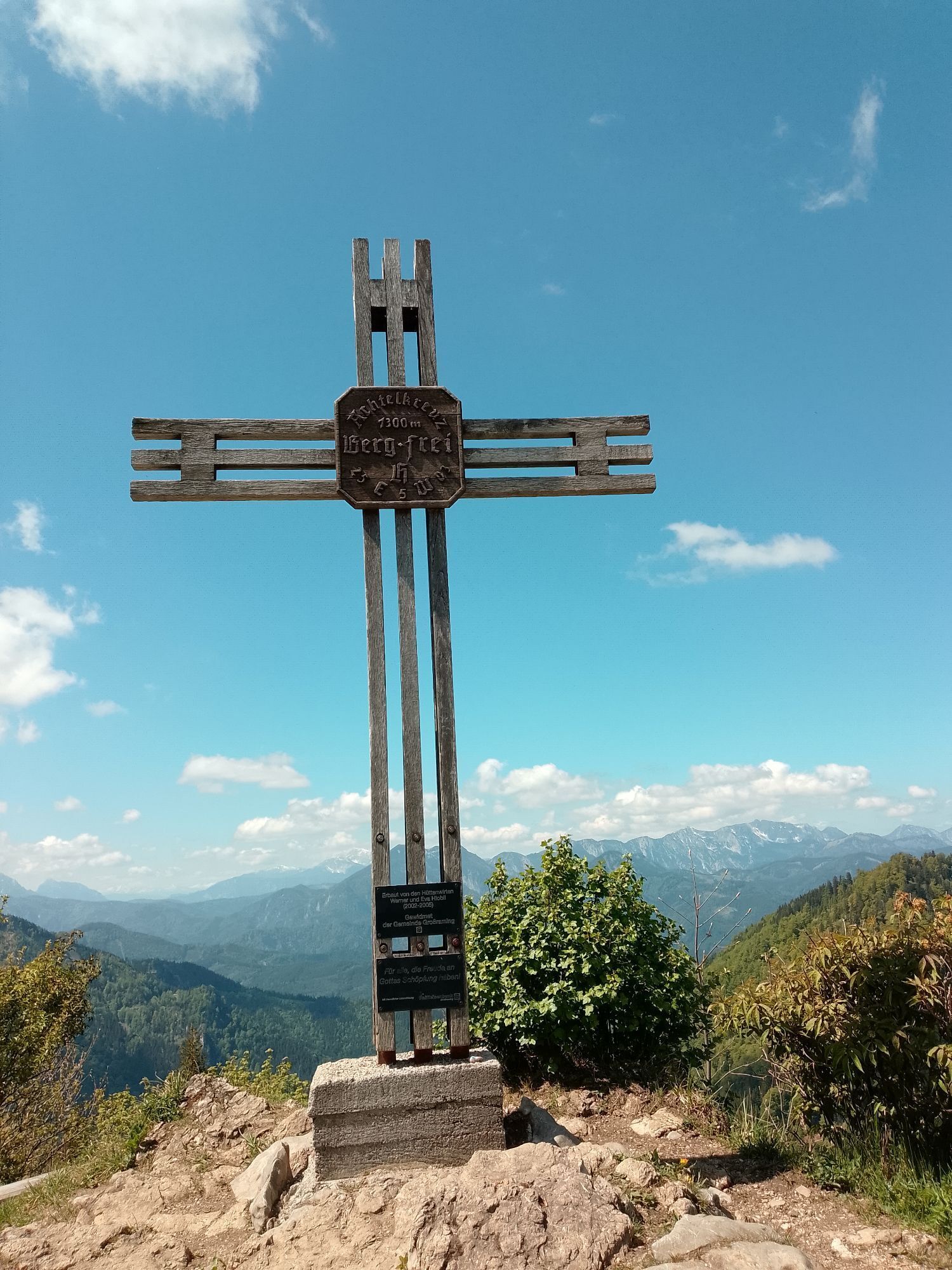

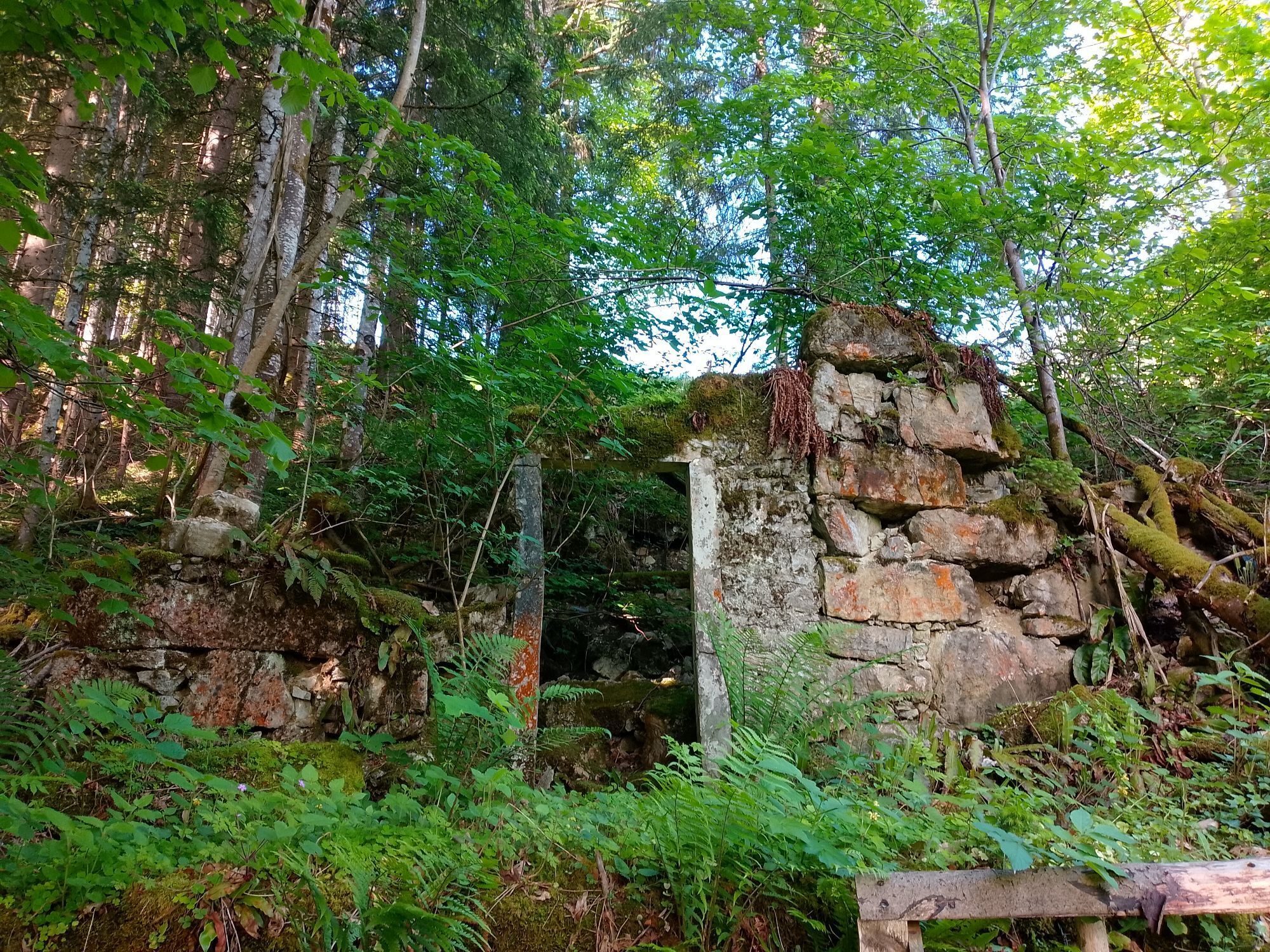
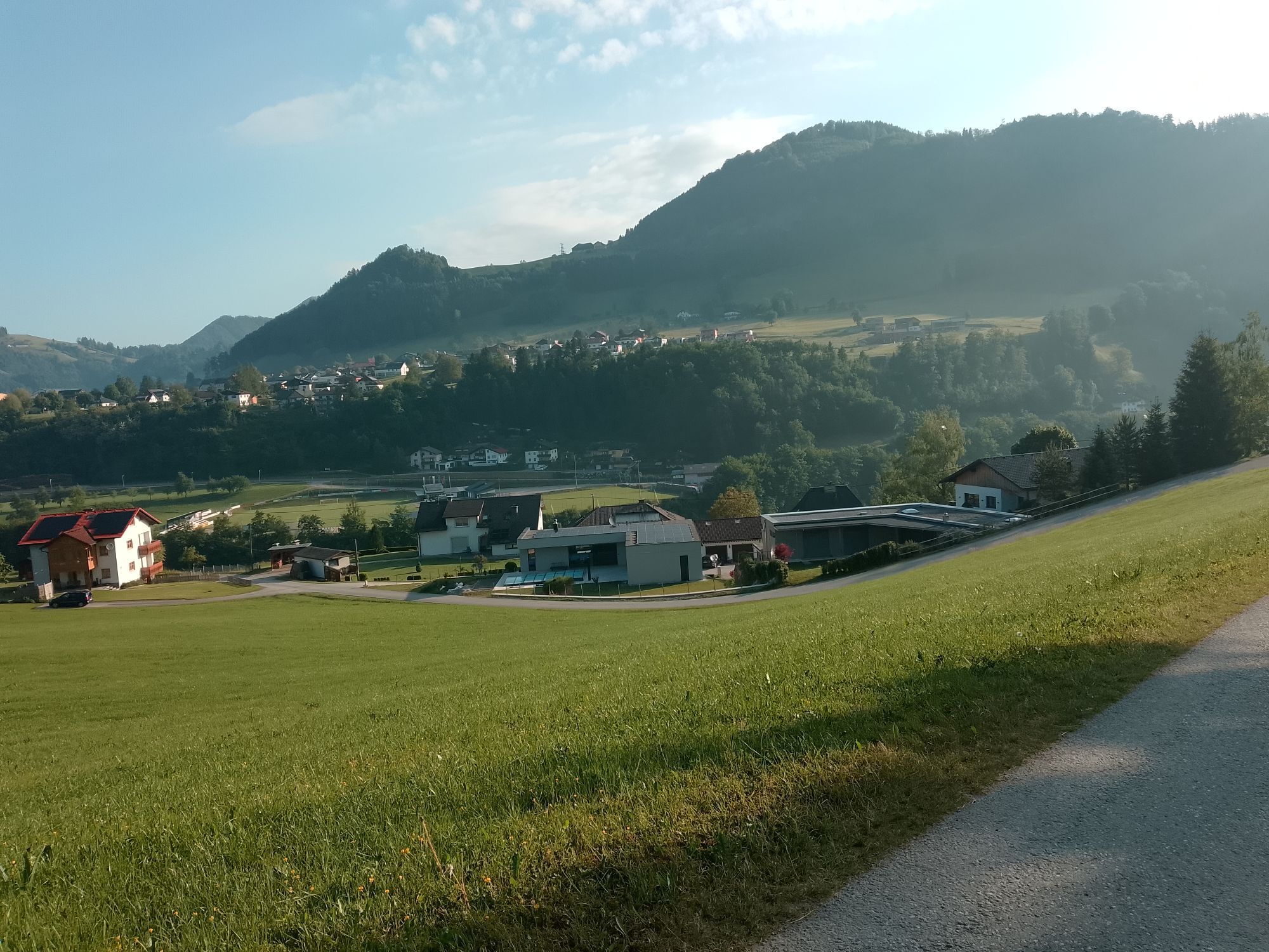
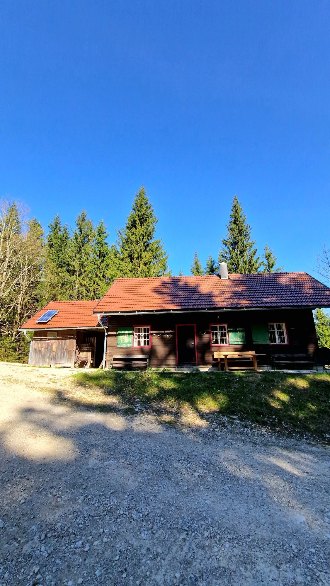
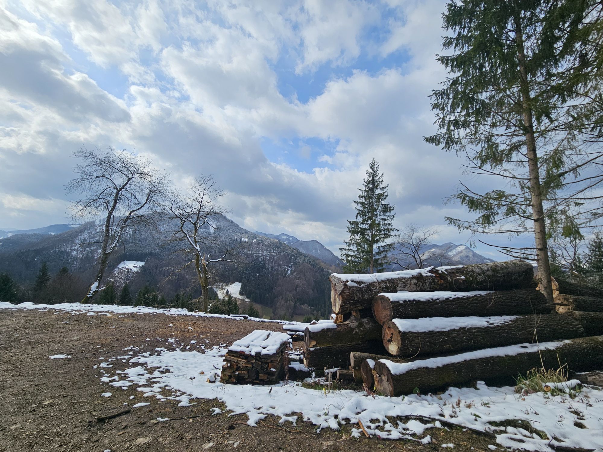
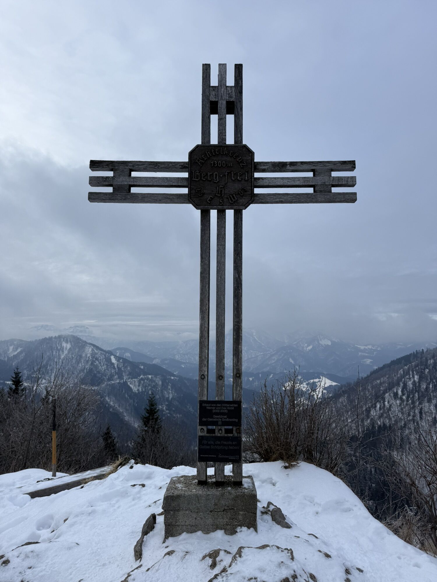
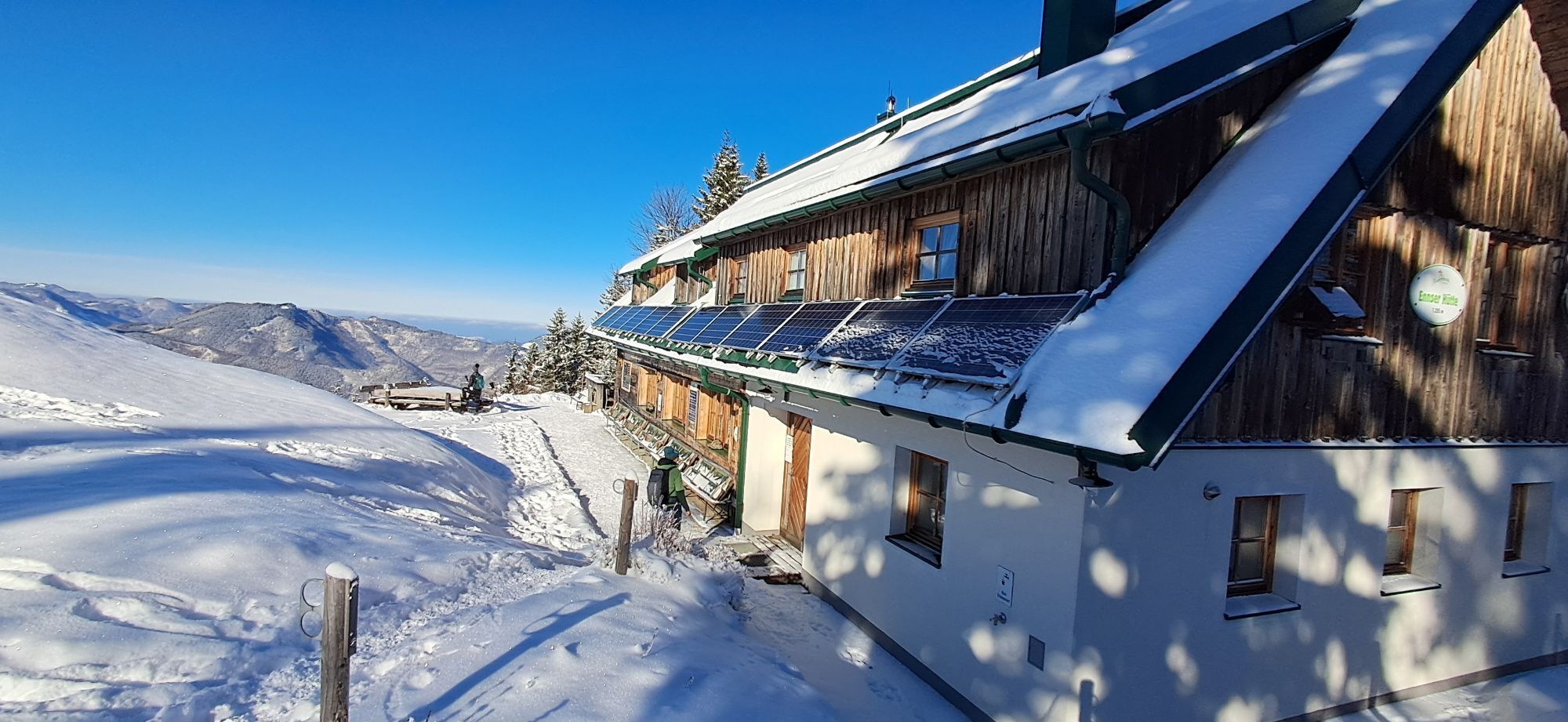
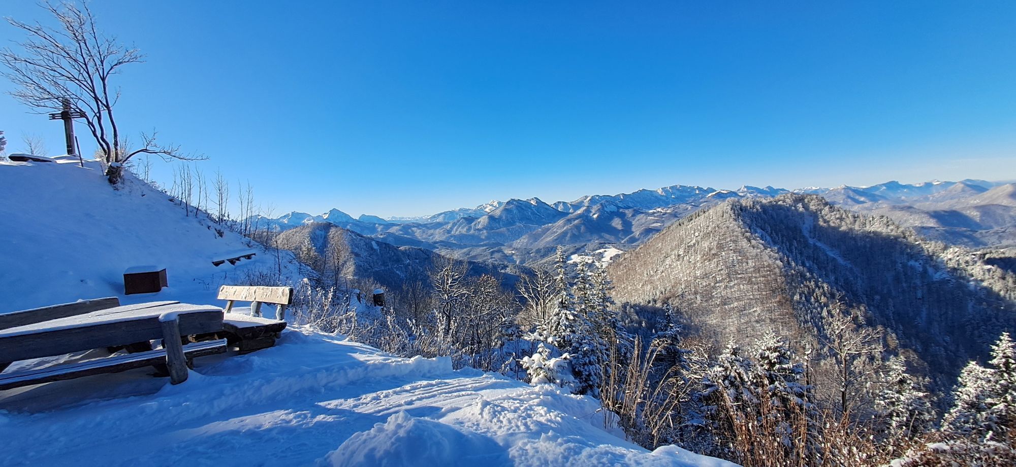
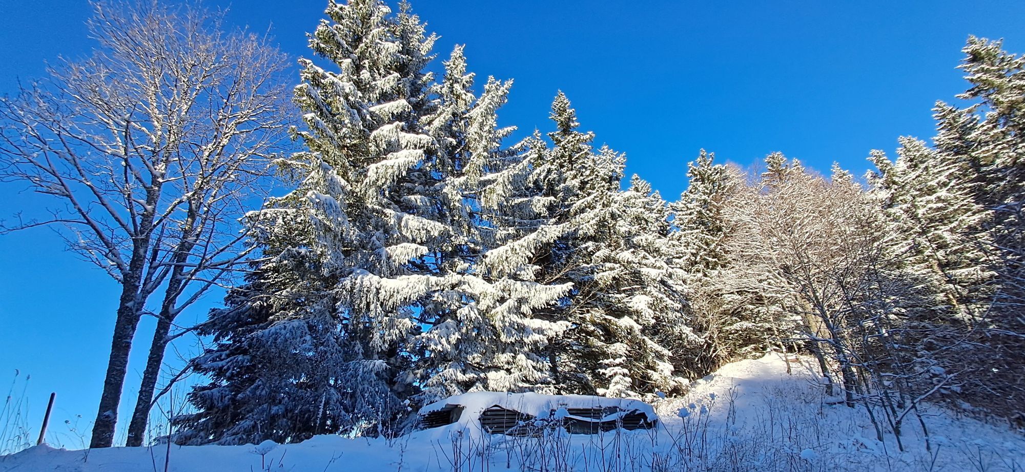
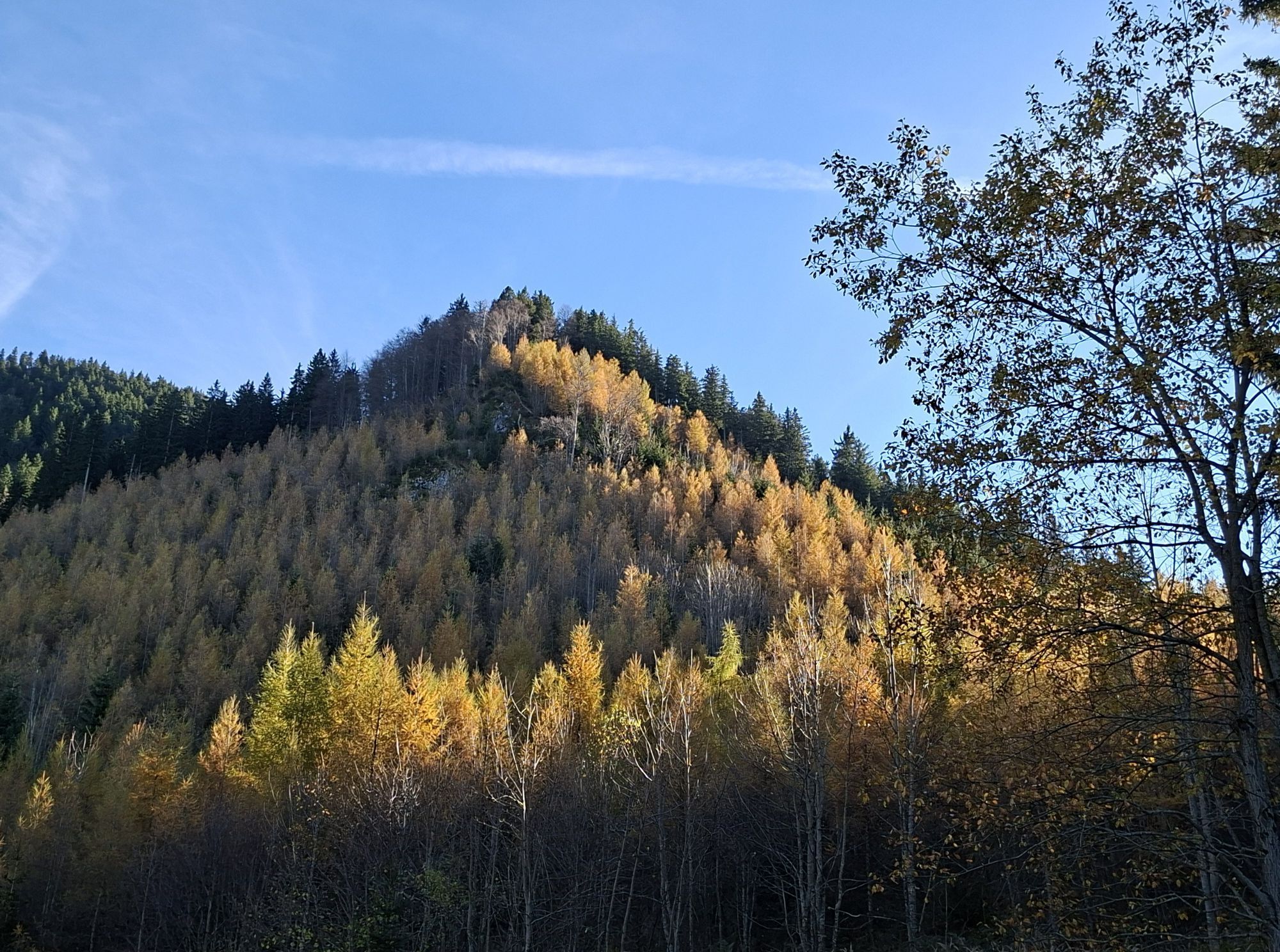
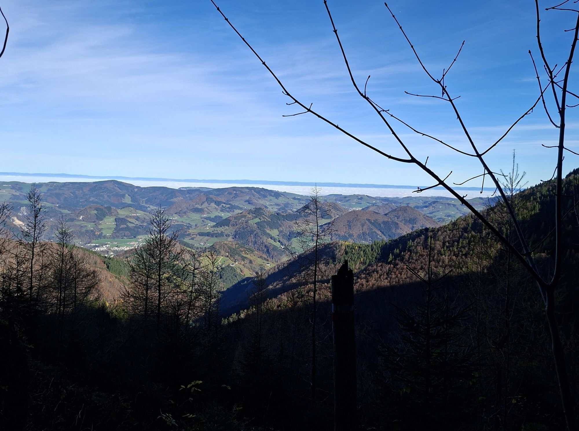
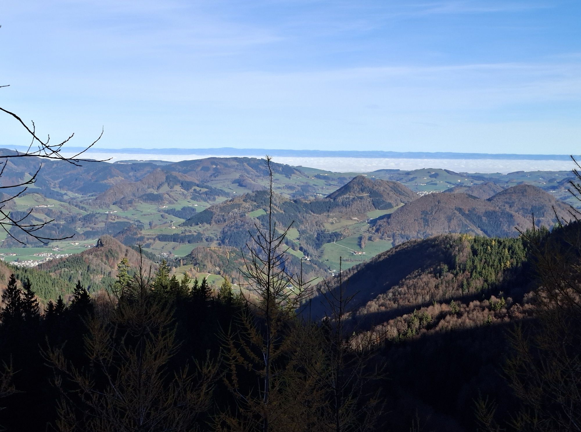
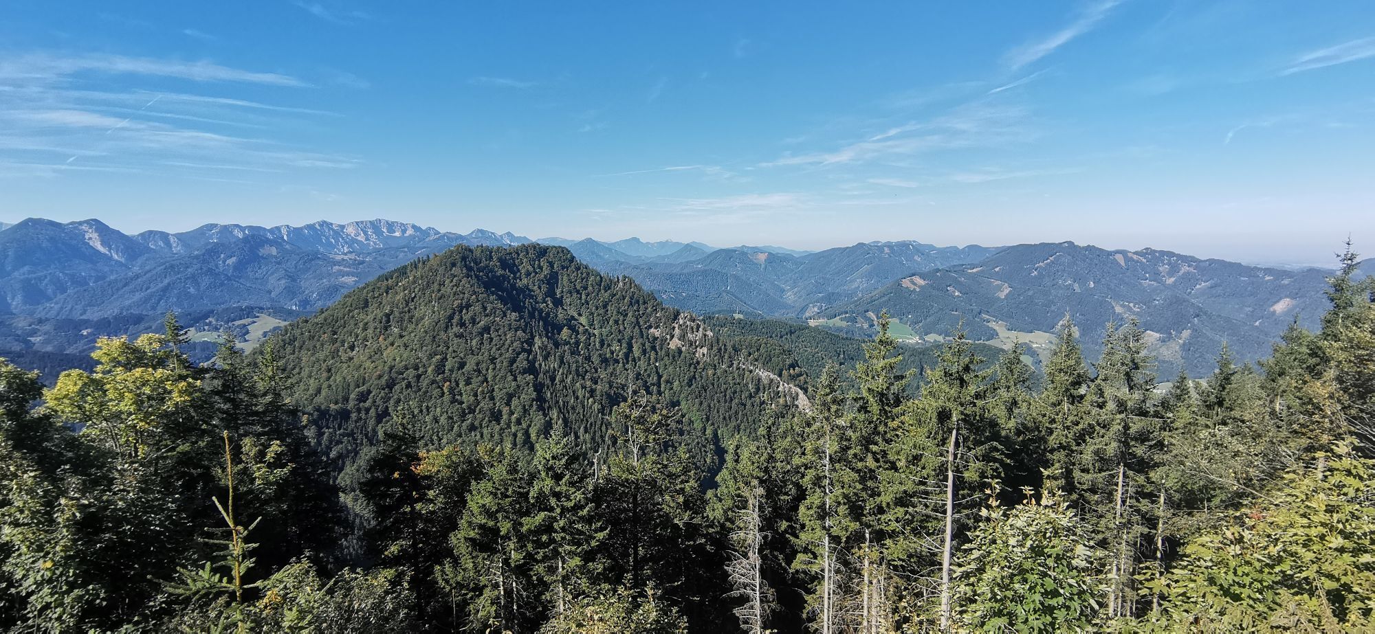
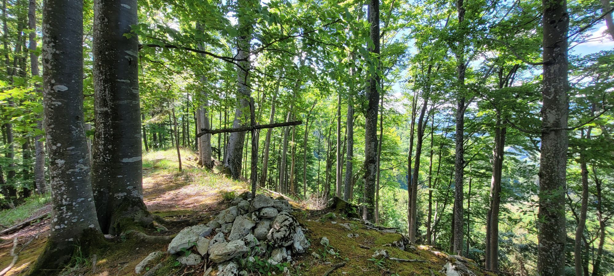
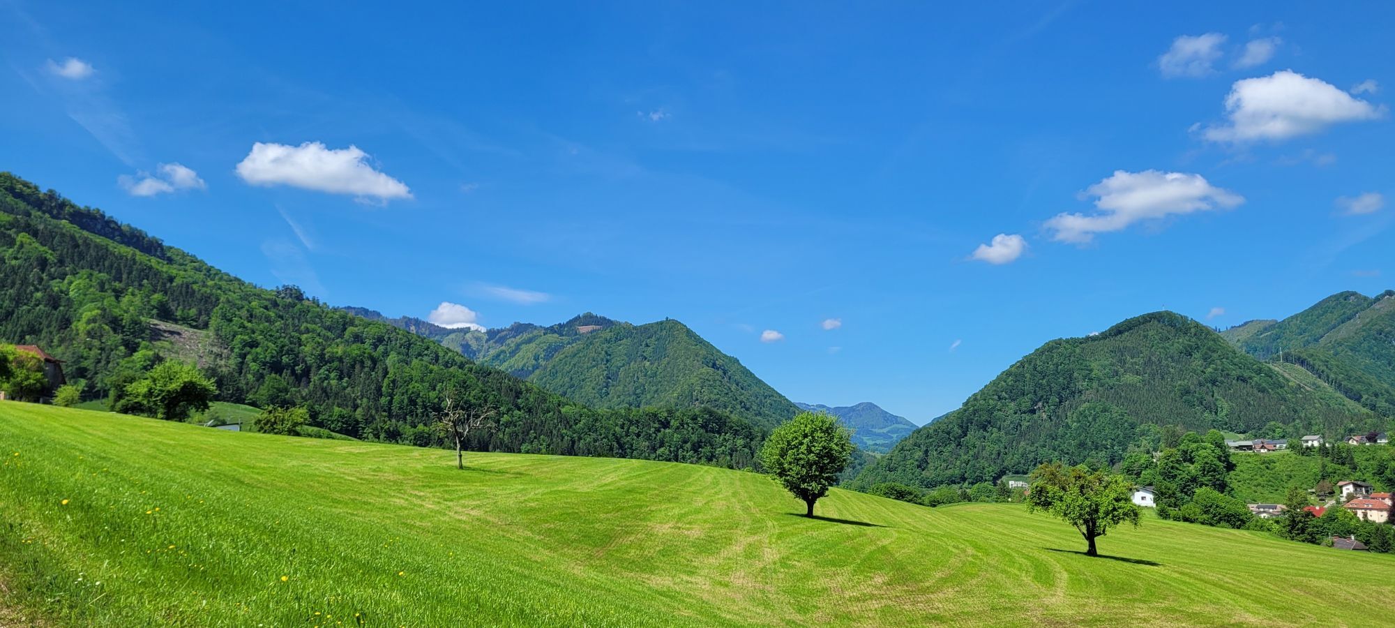
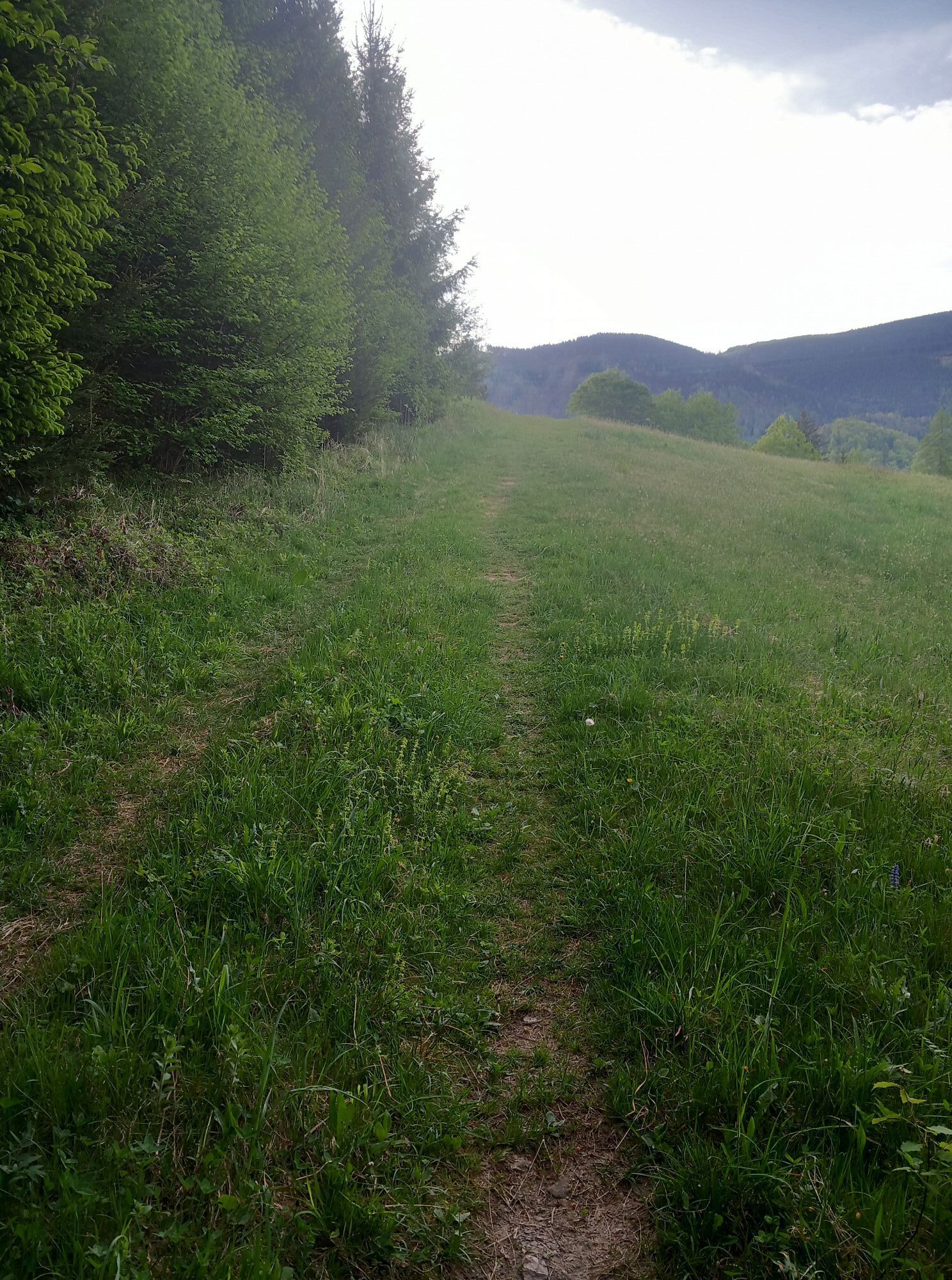
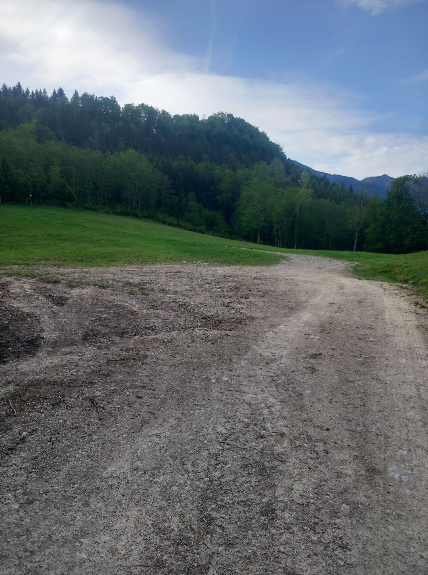
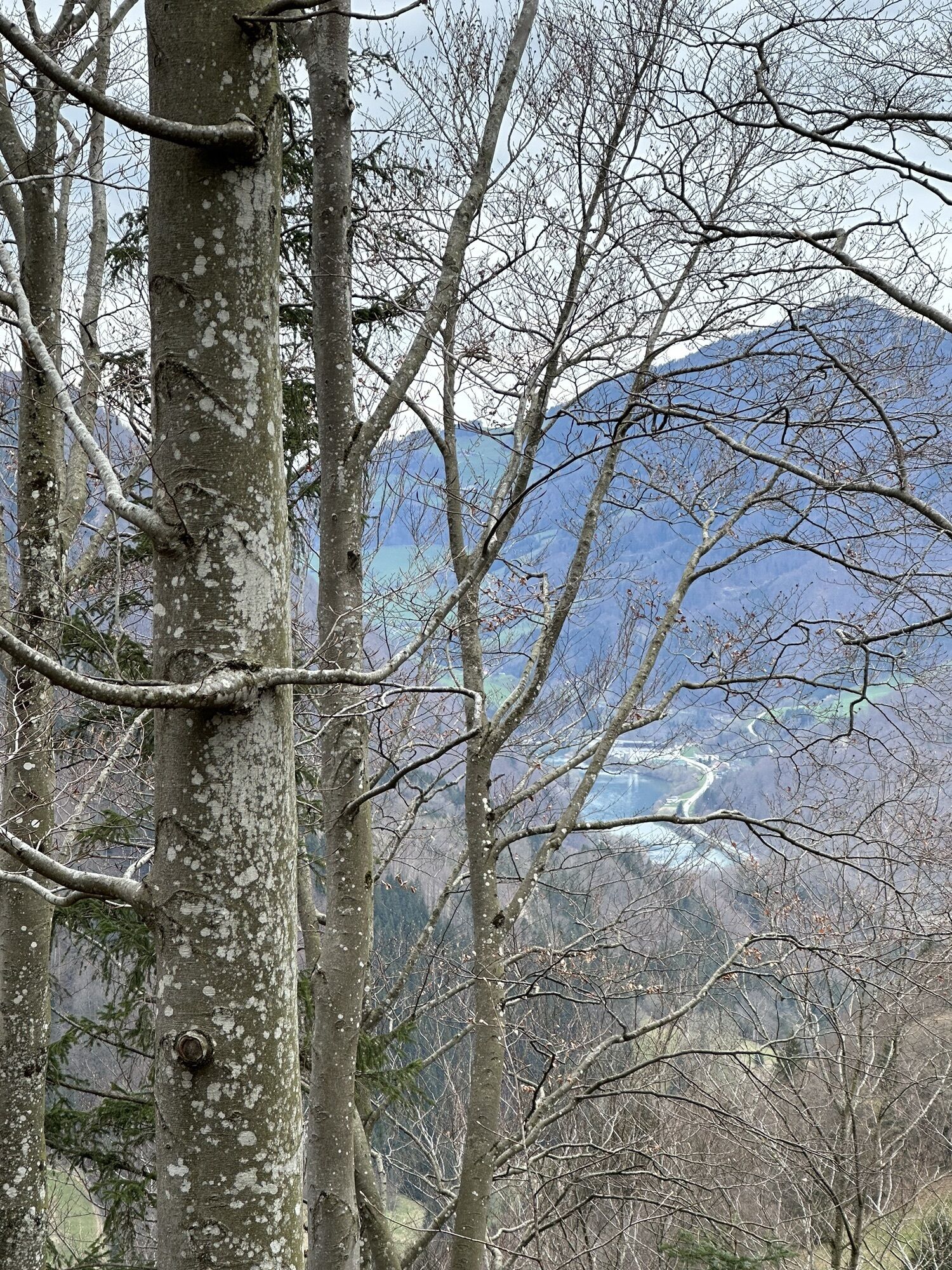
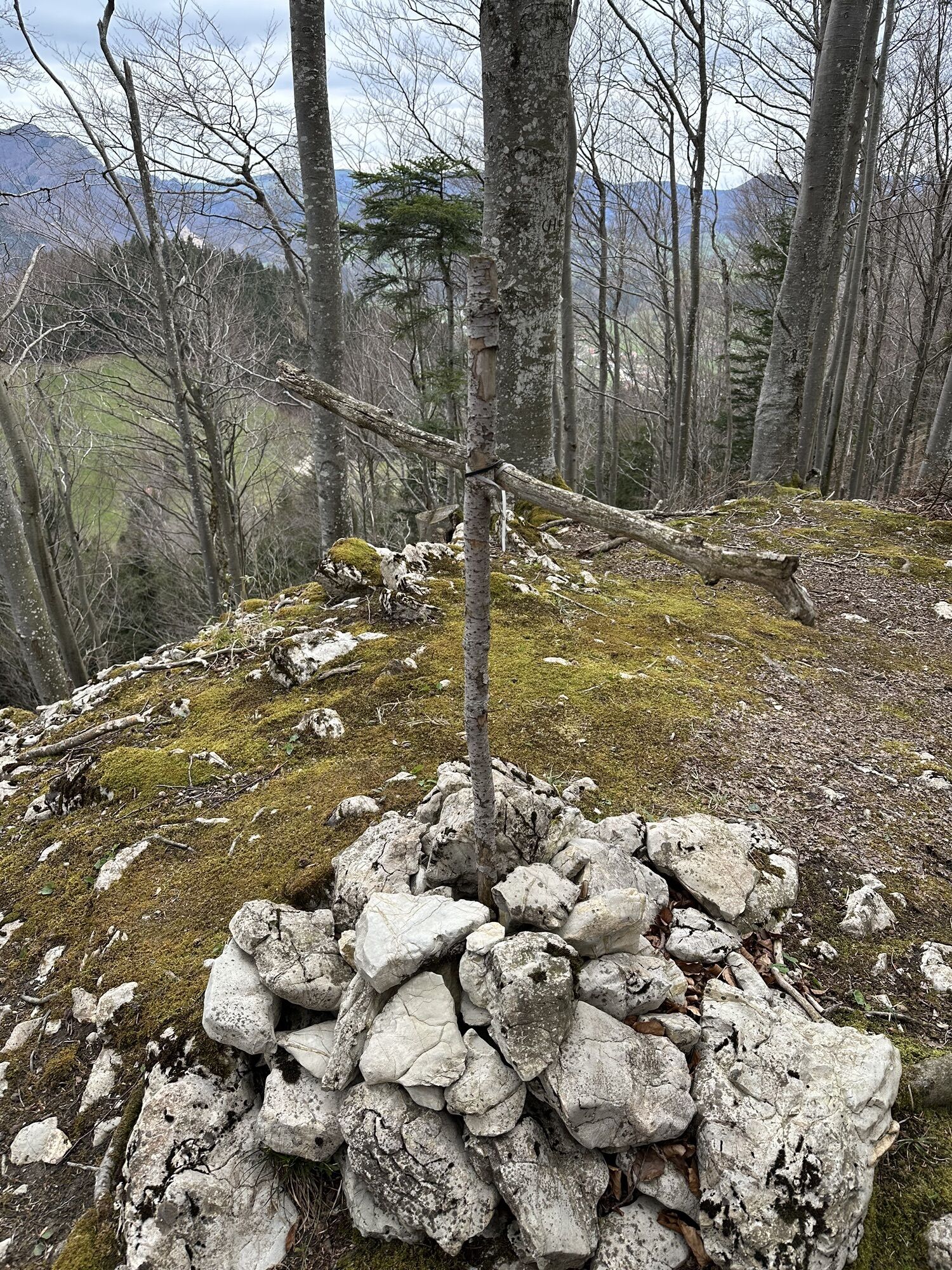
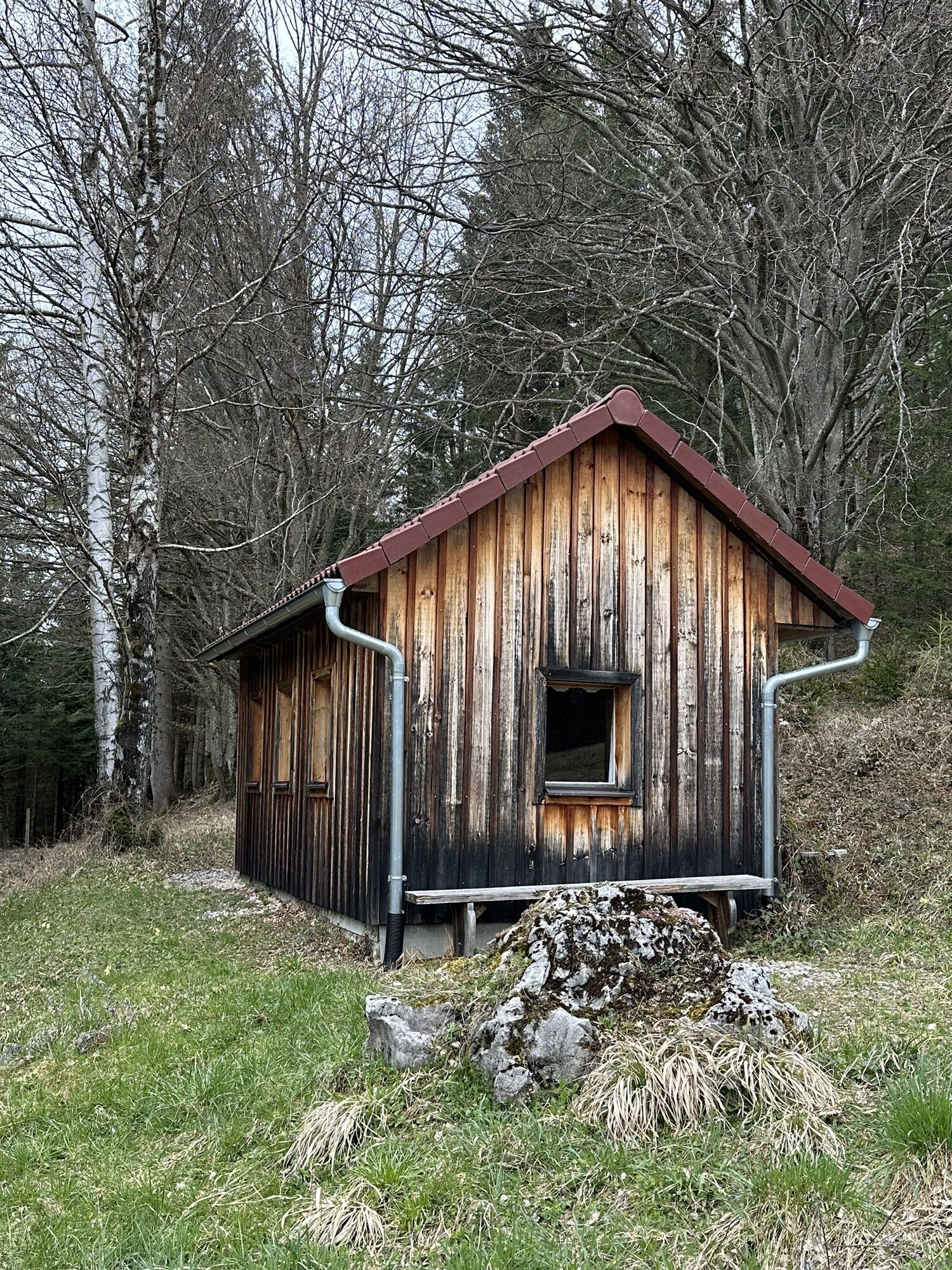
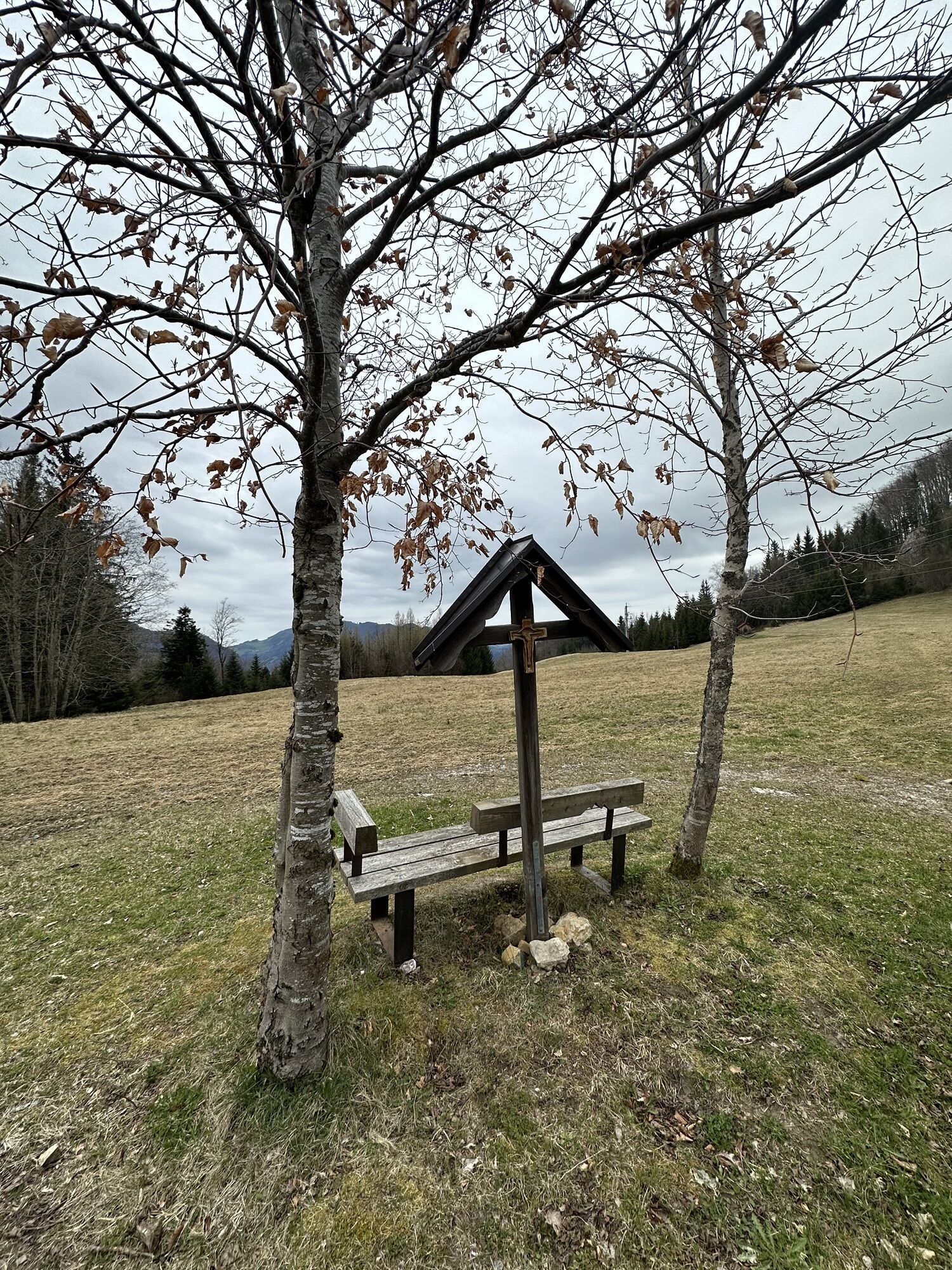
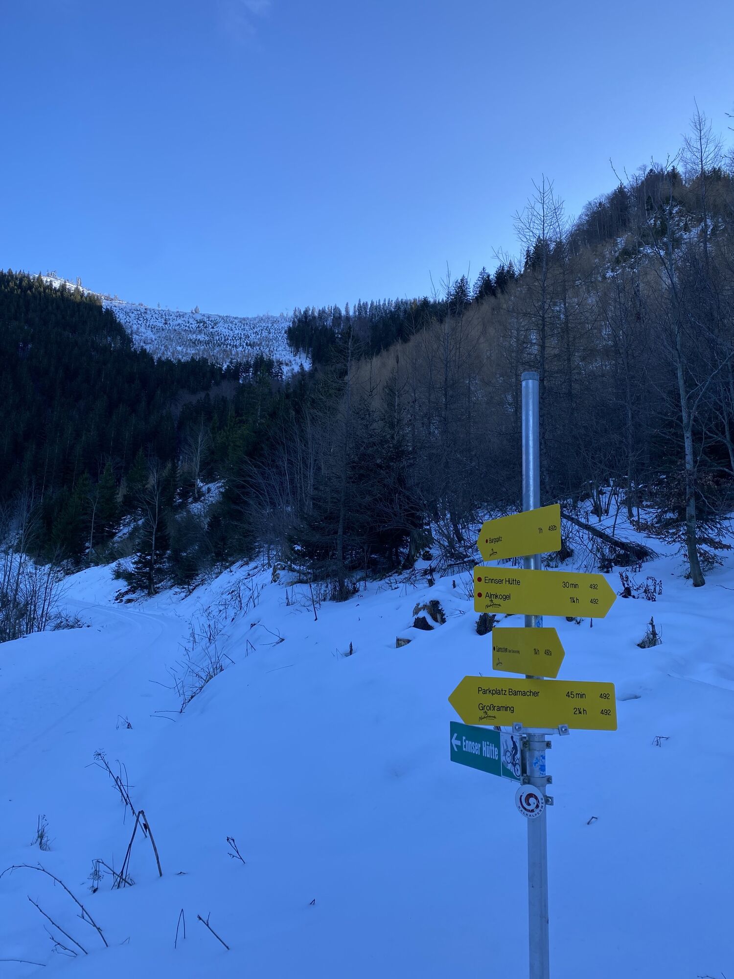
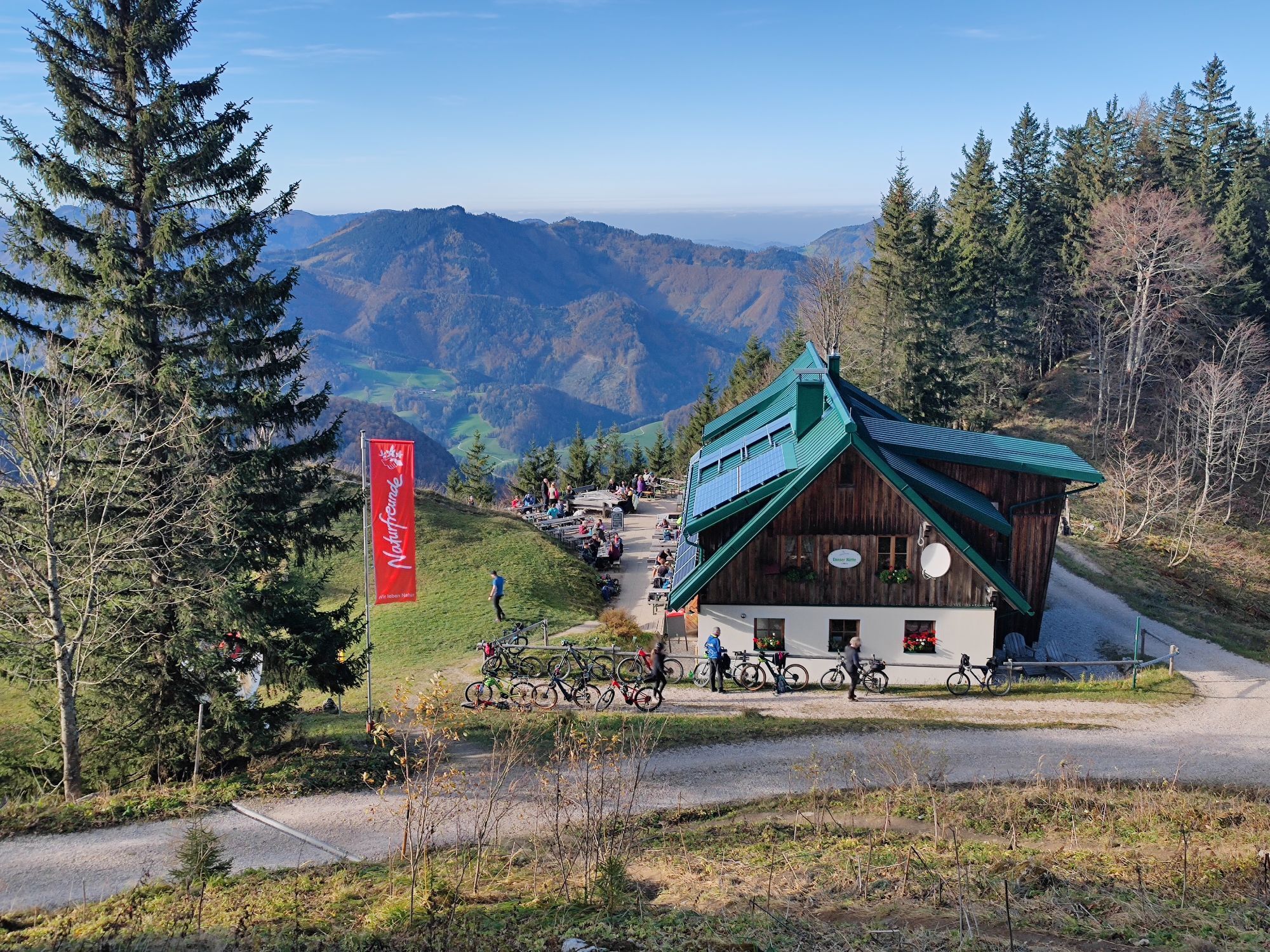
The starting point for the Kalkalpenweg is Großraming station. Here, route no. 492 initially ascends over meadows and through forests to the Bamacher parking lot (access possible by car).
From now on, the...
The starting point for the Kalkalpenweg is Großraming station. Here, route no. 492 initially ascends over meadows and through forests to the Bamacher parking lot (access possible by car).
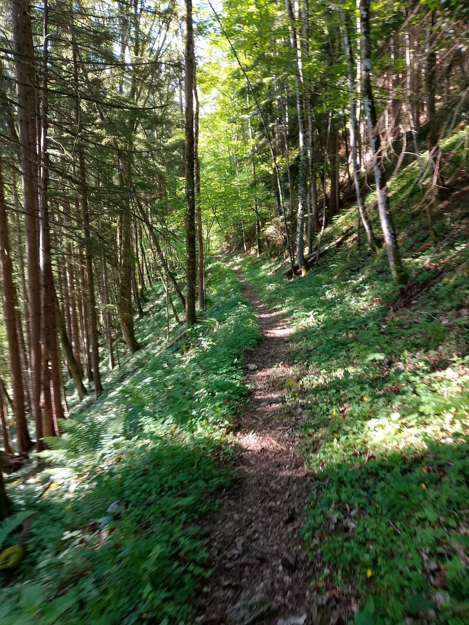
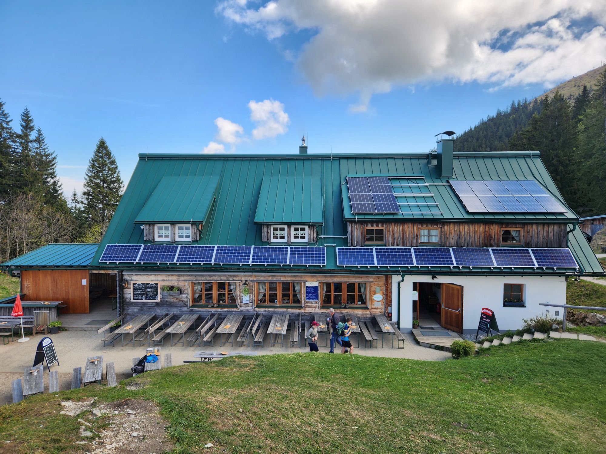
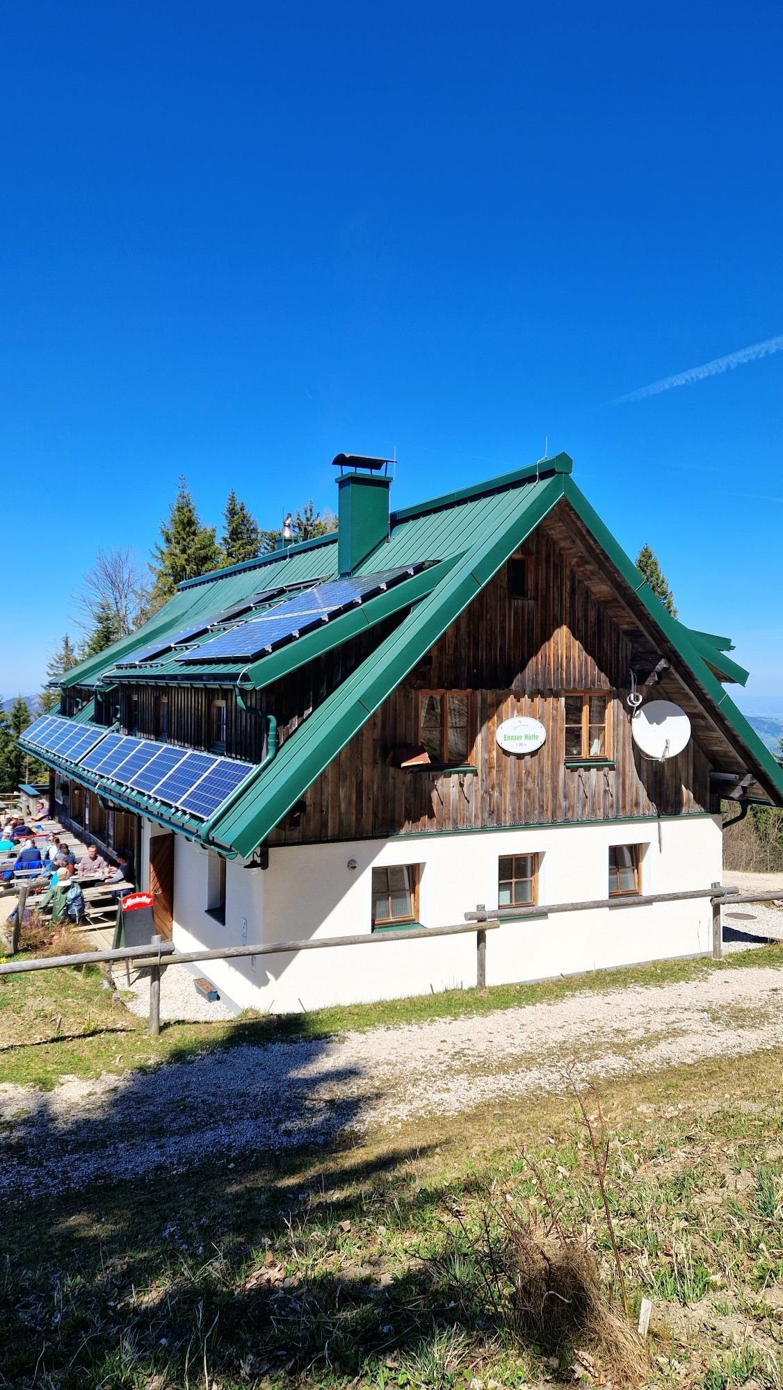
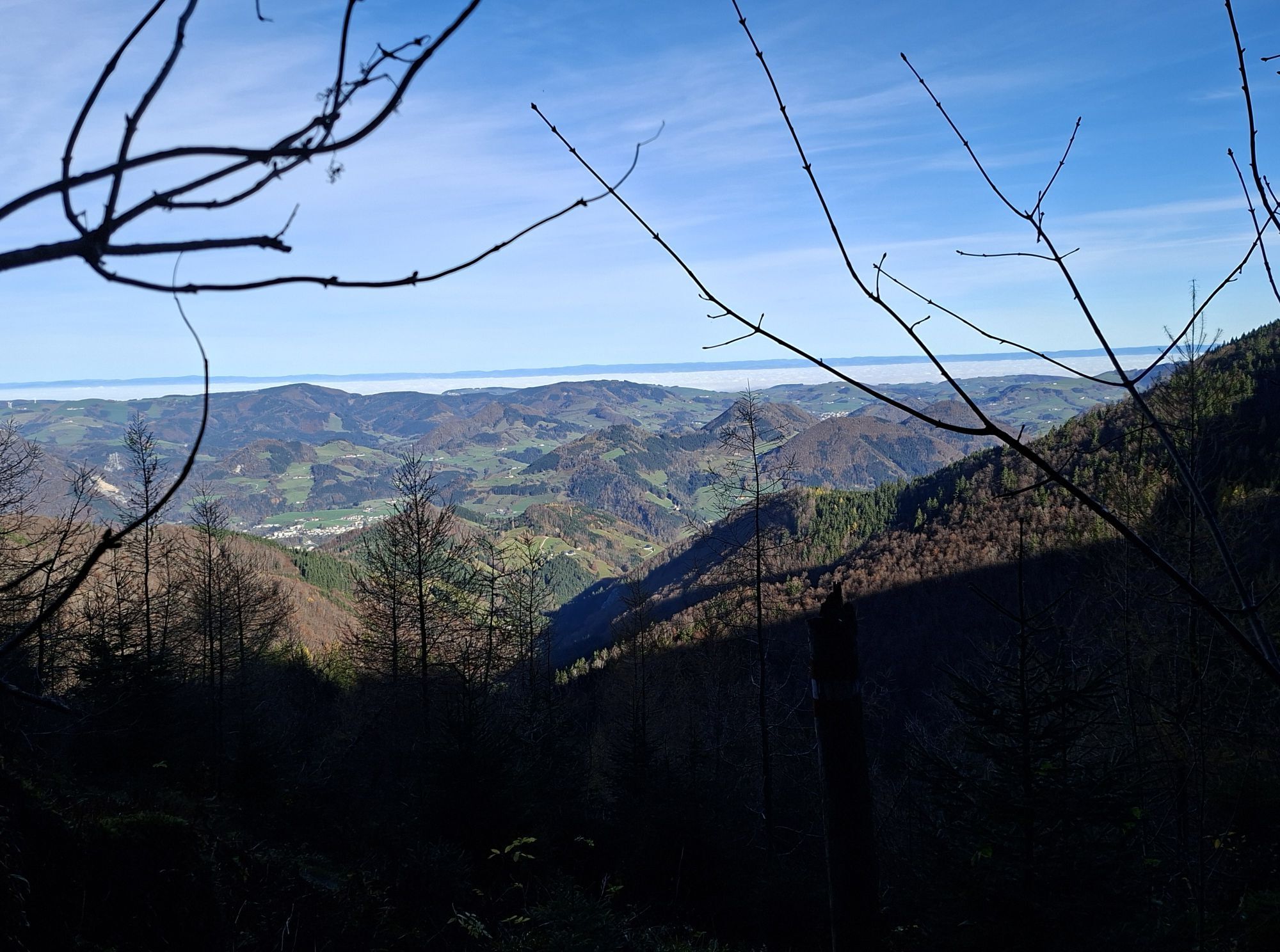
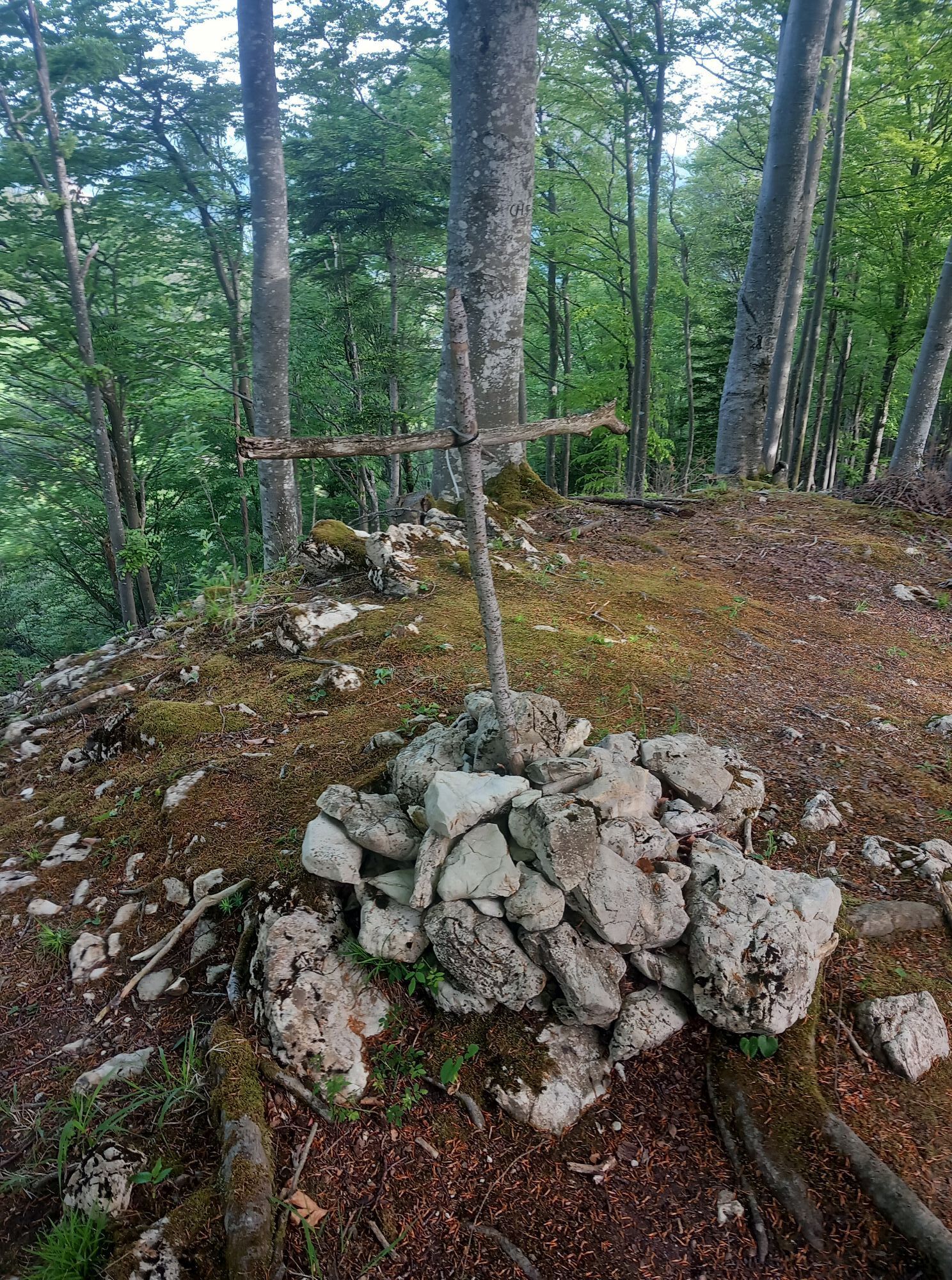
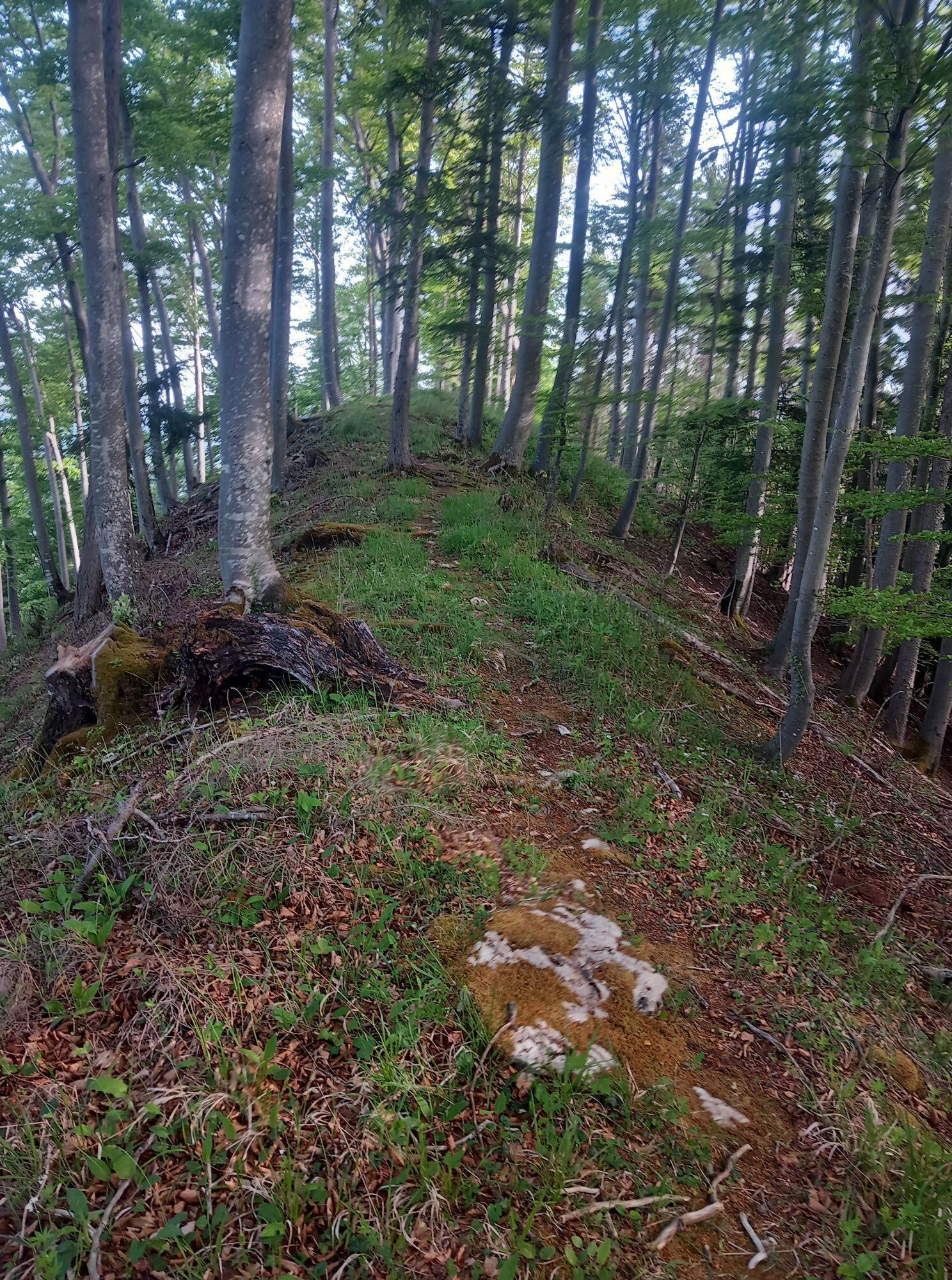
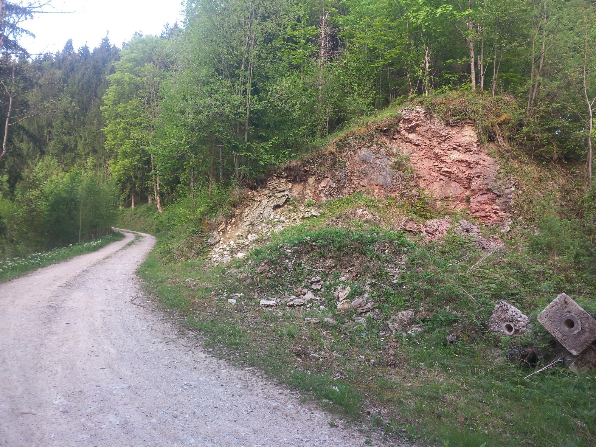
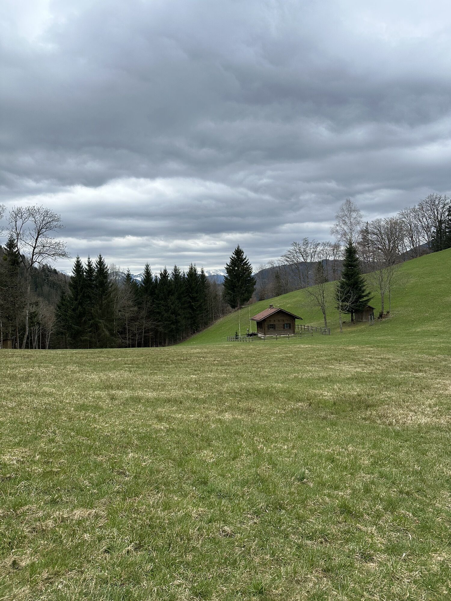
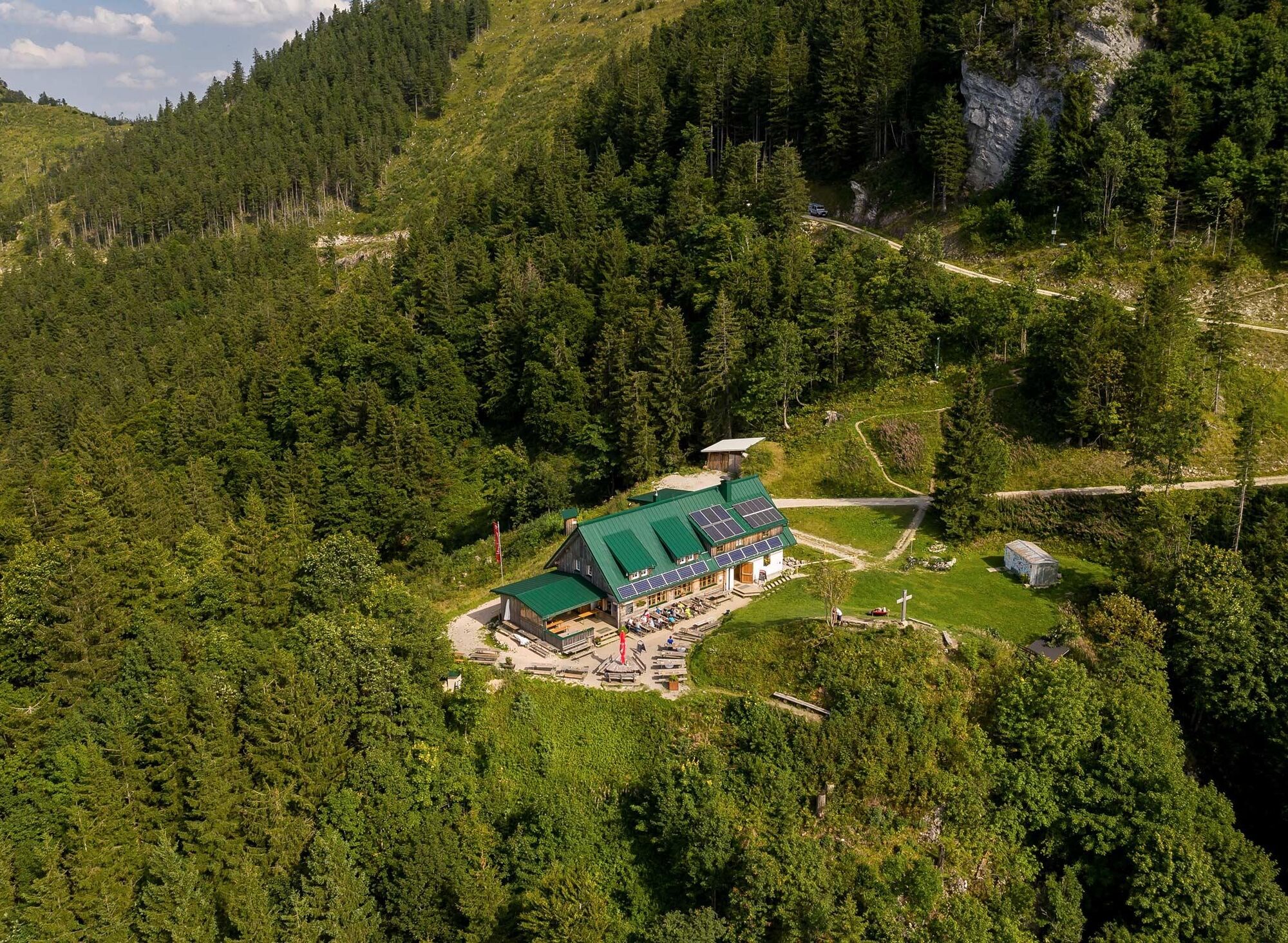
From now on, the forest path goes a bit steeper uphill to a forest road - here, the slope on the forest hillside becomes really steep for a short while. The last ascent leads in switchbacks through the forest until the Ennser hut becomes visible through the trees and the first stage goal is reached.
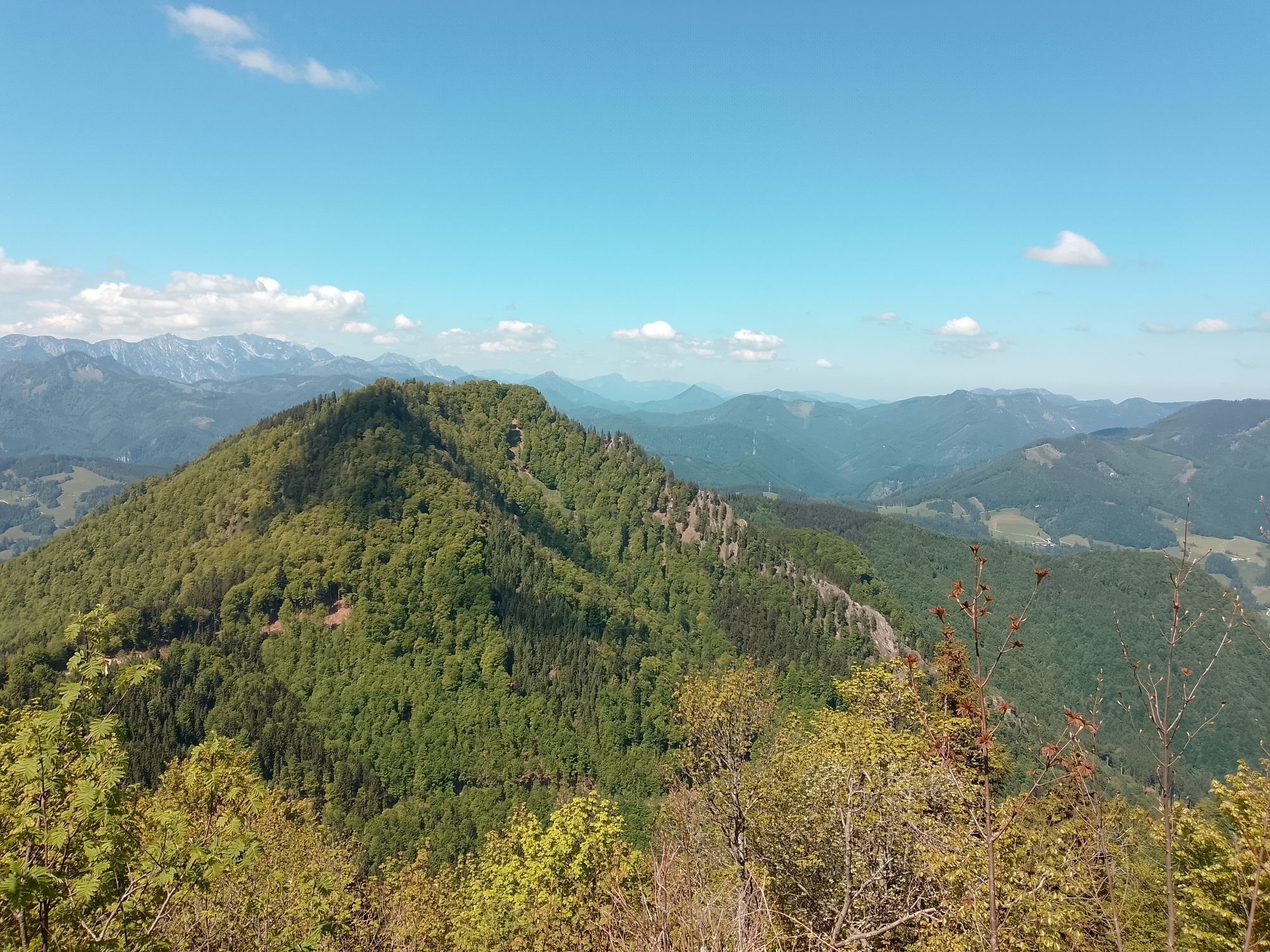
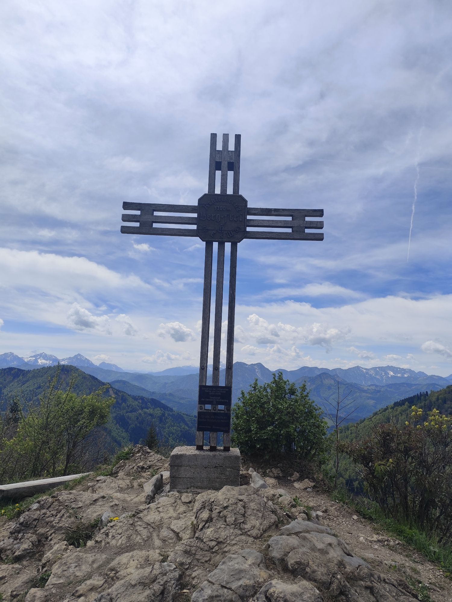
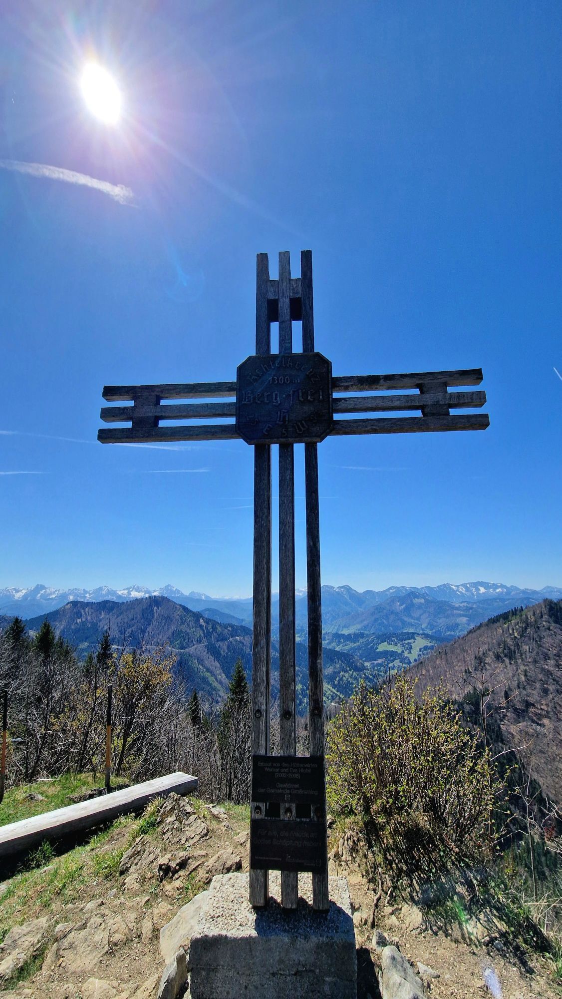
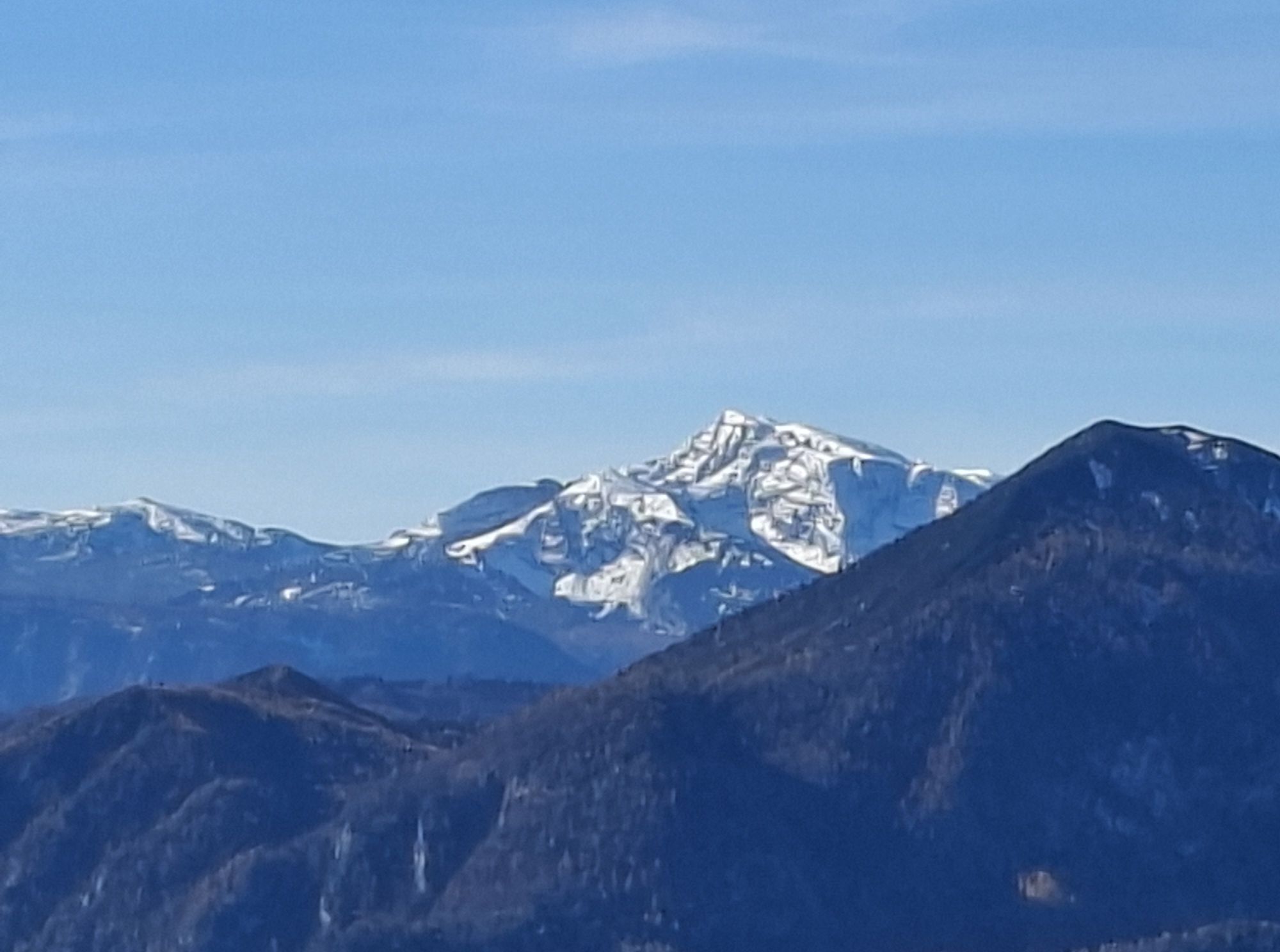
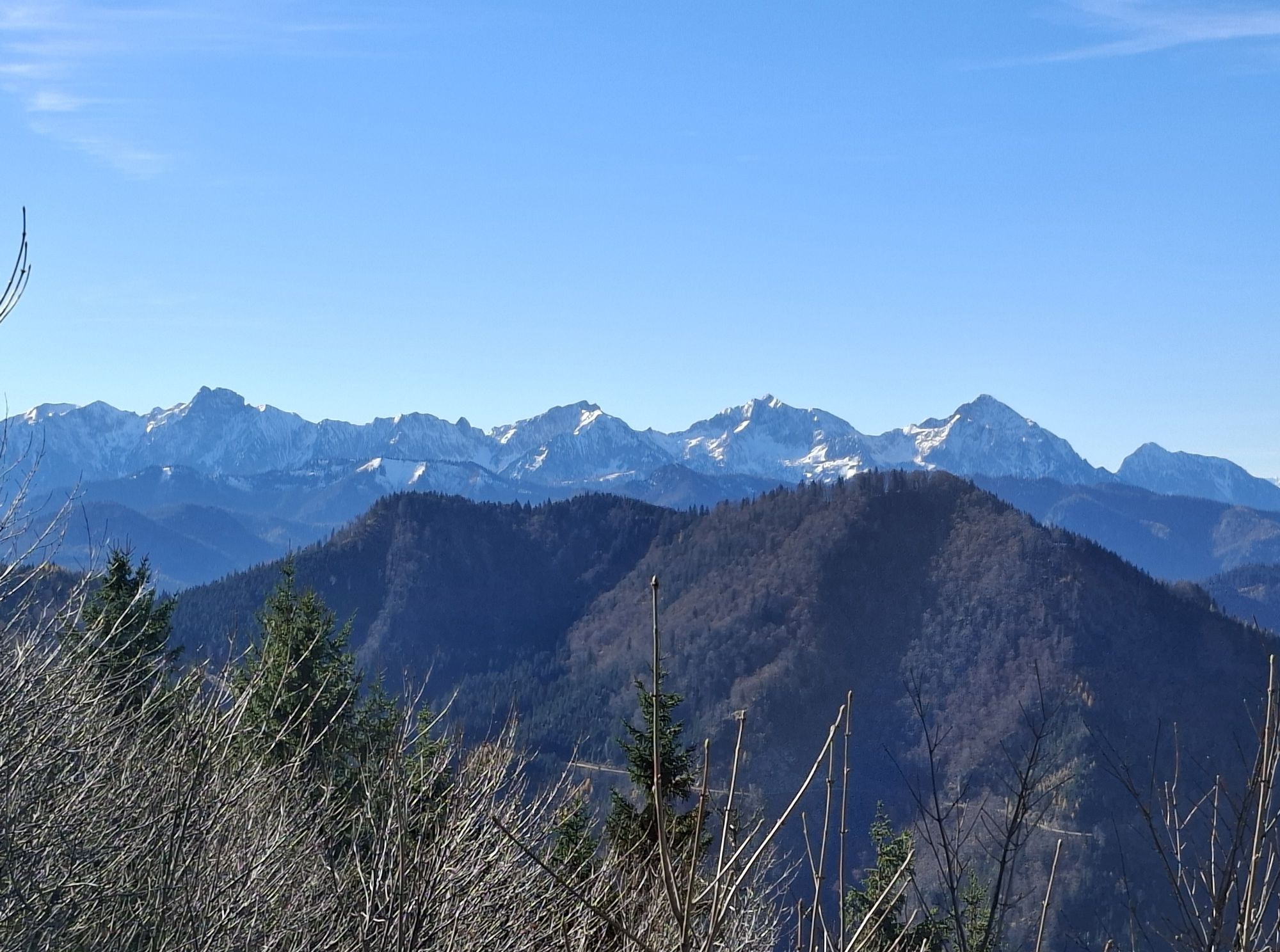
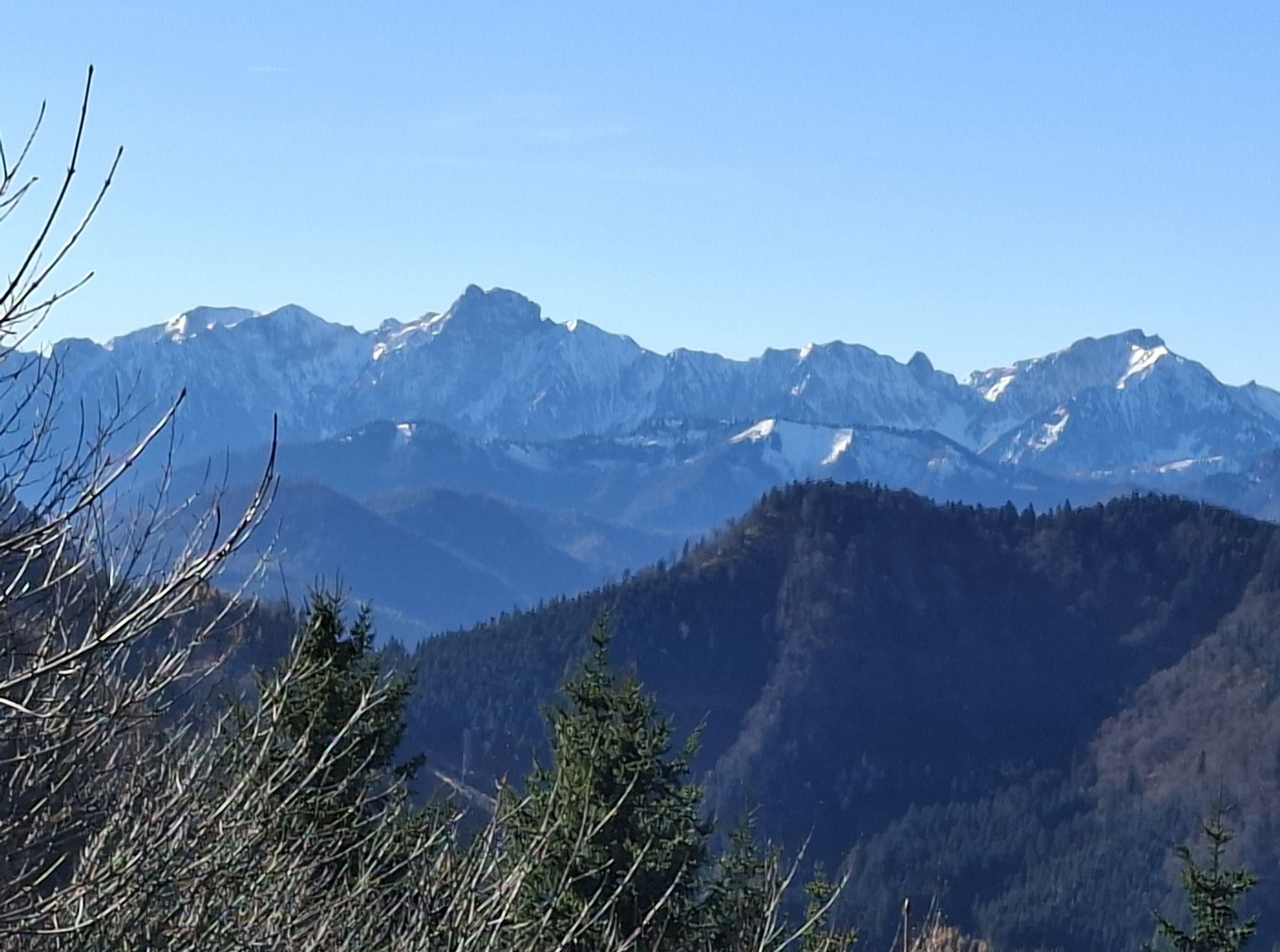
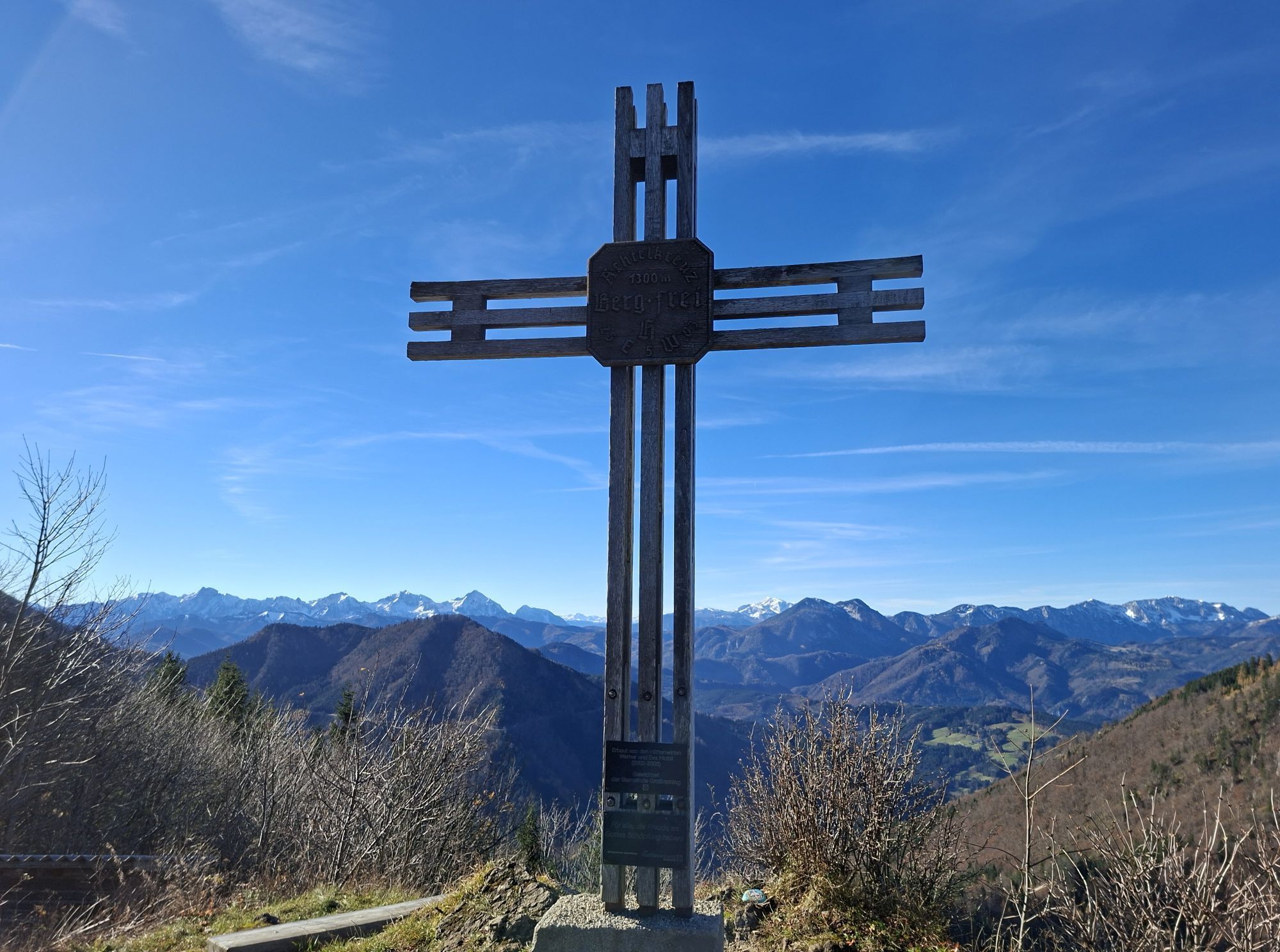
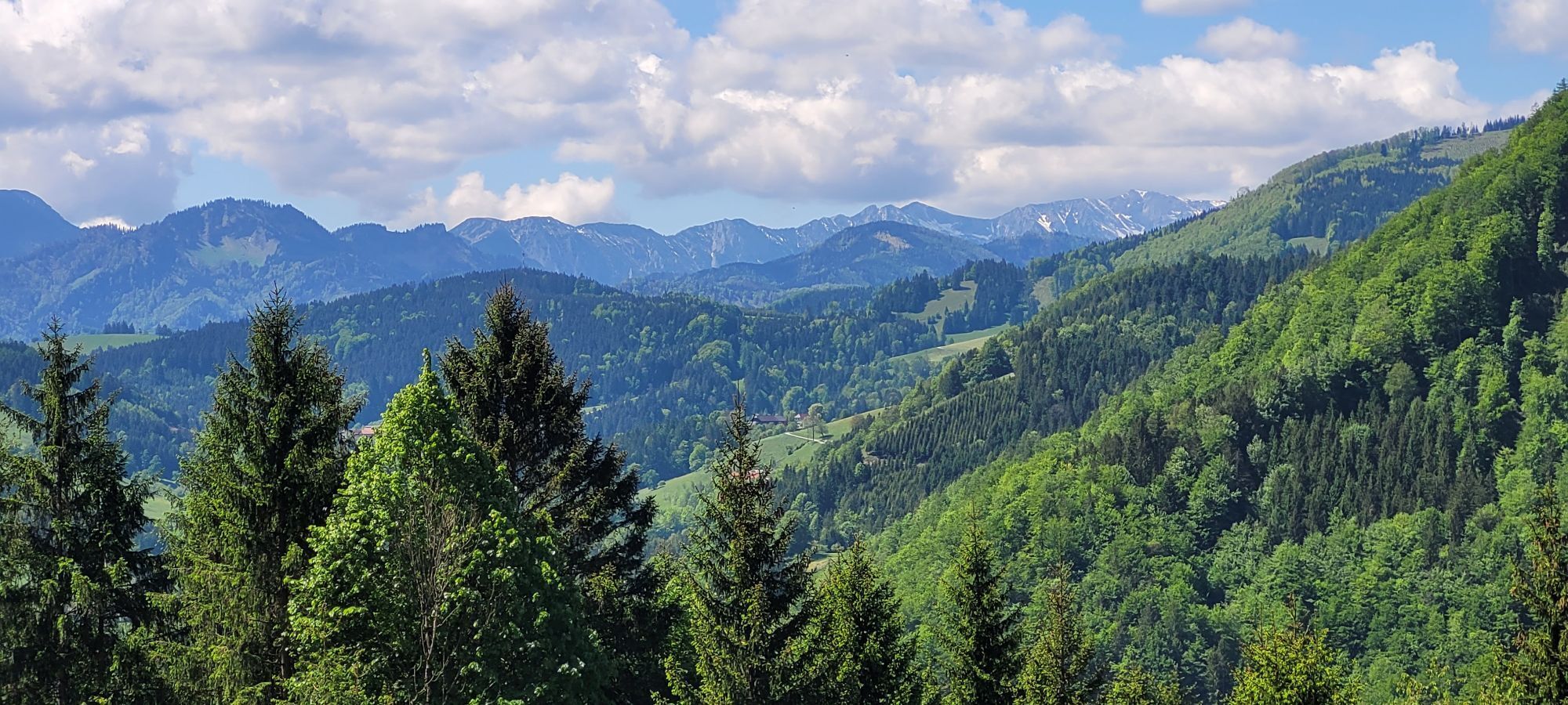
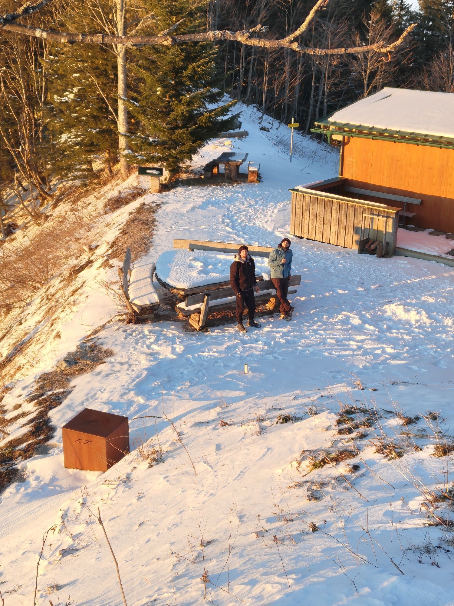
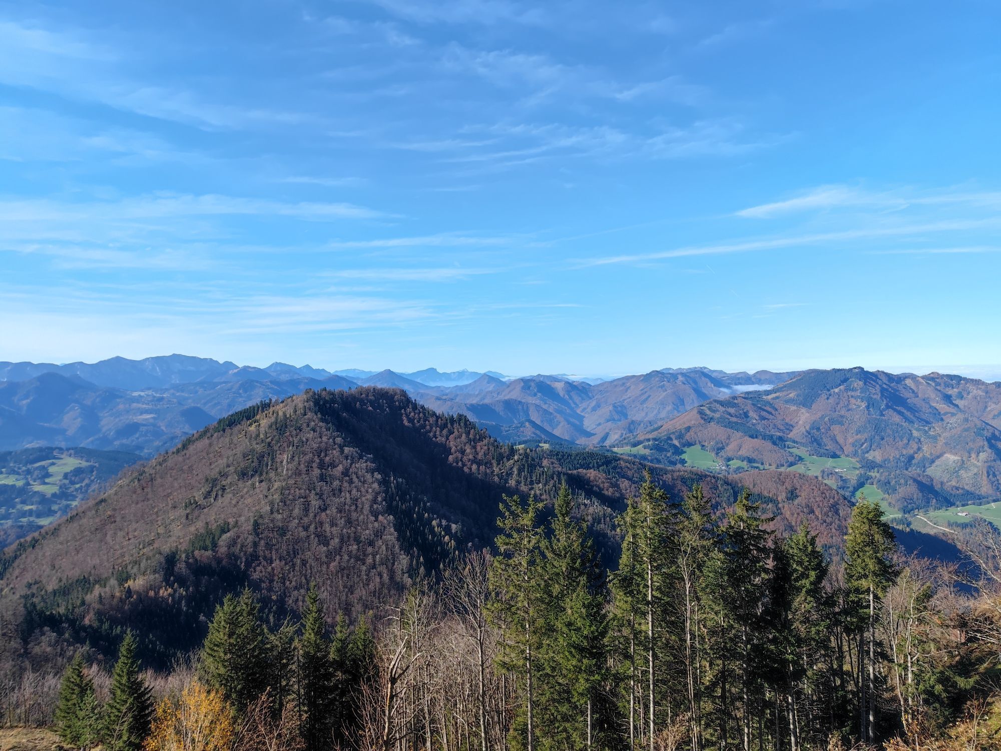
From here, you have a fantastic panoramic view of the Haller Mauern, the Reichraminger Hintergebirge, and the Sensengebirge up to the Dead Mountains and the Alpine foothills.+
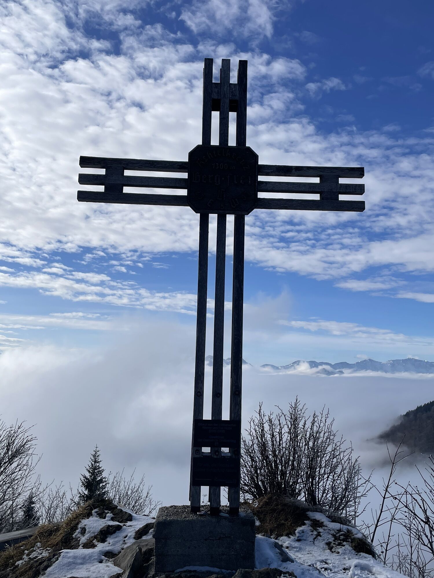
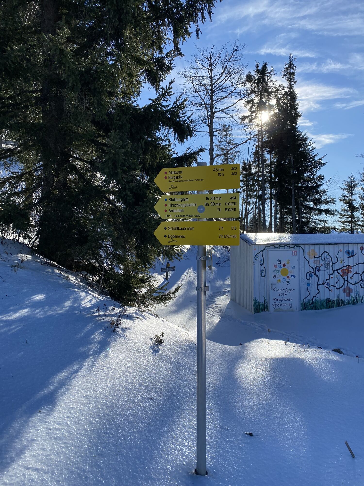
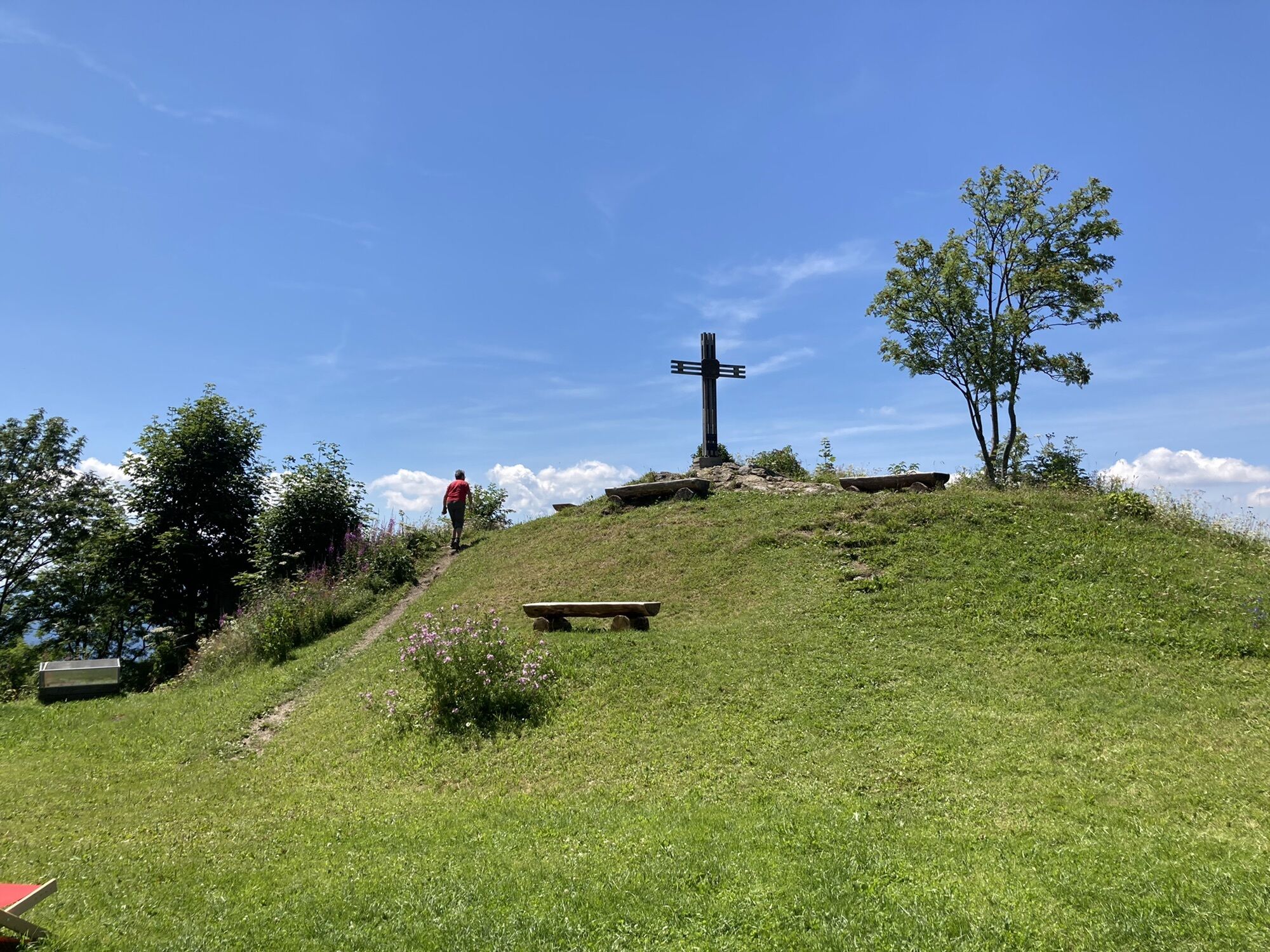
Tip: For those motivated or full of energy who want to go further on day 1, there is on the one hand a hike to the Almkogel (1,513 m, approx. 45 minutes) or on the other hand the circular route from the Ennser hut up to the Burgspitz (1,429 m) and then along the mountain ridge towards Almkogel and back to the hut (approx. 1 hour and 30 minutes).



 Uzyskaj wgląd
Zawsze na żywo z ponad 9 500 kamer internetowych. bergfex Jako użytkownik Pro, możesz teraz zobaczyć odpowiednie kamery internetowe dla wielu wycieczek w aplikacji wycieczki od. Pozwala to na bezpośredni podgląd aktualnych warunków.
Uzyskaj wgląd
Zawsze na żywo z ponad 9 500 kamer internetowych. bergfex Jako użytkownik Pro, możesz teraz zobaczyć odpowiednie kamery internetowe dla wielu wycieczek w aplikacji wycieczki od. Pozwala to na bezpośredni podgląd aktualnych warunków.
Aktywności na trasie
-

Großraming, Oberösterreich/Österreich
02.05.2026 – Wędrówka -
Großraming, Oberösterreich/Österreich
28.03.2026 – Wędrówka -

Großraming, Rotstein
27.03.2026 – Wędrówka -

Großraming, Oberösterreich/Österreich
19.03.2026 – Wędrówka -
Großraming, Oberösterreich/Österreich
02.01.2026 – Wędrówka -
Großraming, Oberösterreich/Österreich
02.01.2026 – Wędrówka -

Großraming, Upper Austria/Austria
28.09.2025 – Wędrówka -

Großraming, Oberösterreich/Österreich
10.06.2025 – Wędrówka -

Rotstein (837m) und Schafkogel (739m) ab Bahnhof Großraming
03.05.2025 – Wędrówka
Popularne wycieczki w okolicy
-
4,9
Ennser Hut - Almkogel (from Bamacher car park)
średniWędrówka 3,53 km -
4,8
Steinerner Jäger (1185m) und Schieferstein (1206m) ab Parkplatz Hochhabichler
średniWędrówka 4,46 km -
4,7
GROSSRAMING Bamacher, Burgspitz, Almkogel, Ennshütte 20240730
średniWędrówka 10 km -
4,7
Steinerner Jäger (1185m) und Schieferstein (1206m) ab Parkplatz Hack
ciężkiWędrówka 8,58 km -
4,3
Freithofberg
średniWędrówka 9,15 km -
4,6
Gamsstein (1275m) und Gschwendtalm ab Parkplatz Brunnbach
średniWędrówka 7,37 km -
4,7
MTB - Anlaufalm (über den Hintergebirgsradweg)
średniMountainbike 51,0 km -
4,4
Kleine Gipfelrunde Glasenberg
światłoWędrówka 4,99 km -
3,9
Sonnkogel (1177m) und Hohe Dirn (1134m) ab Parkplatz Hohe Dirn
średniWędrówka 7,71 km -
3,8
Lindaumauer (1103 m)
Wędrówka 3,40 km
Wędrówki i tropienie


Nie przegap ofert i inspiracji na następne wakacje
Twój adres e-mail została dodana do listy mailingowej.





