







BergeSeen Trail 15: Gosau-Hintertal - Hallstatt

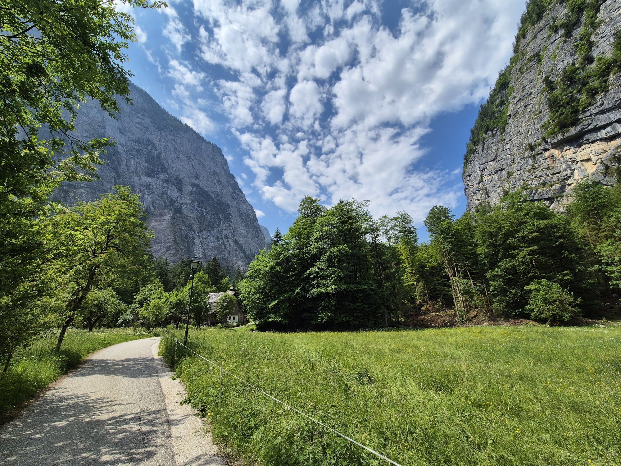
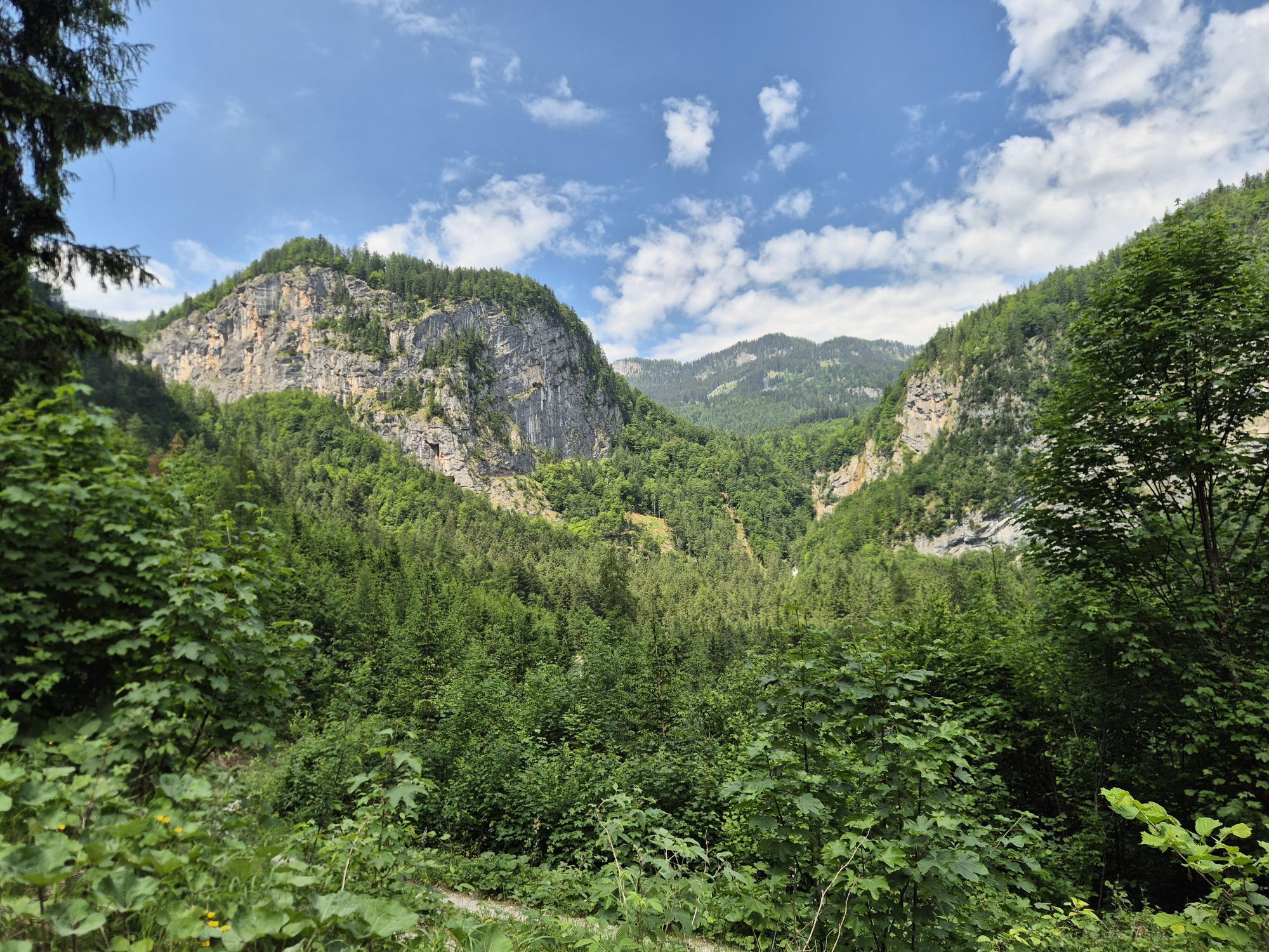
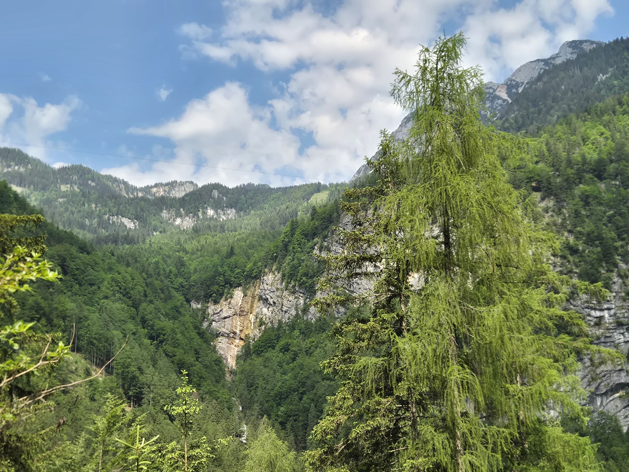
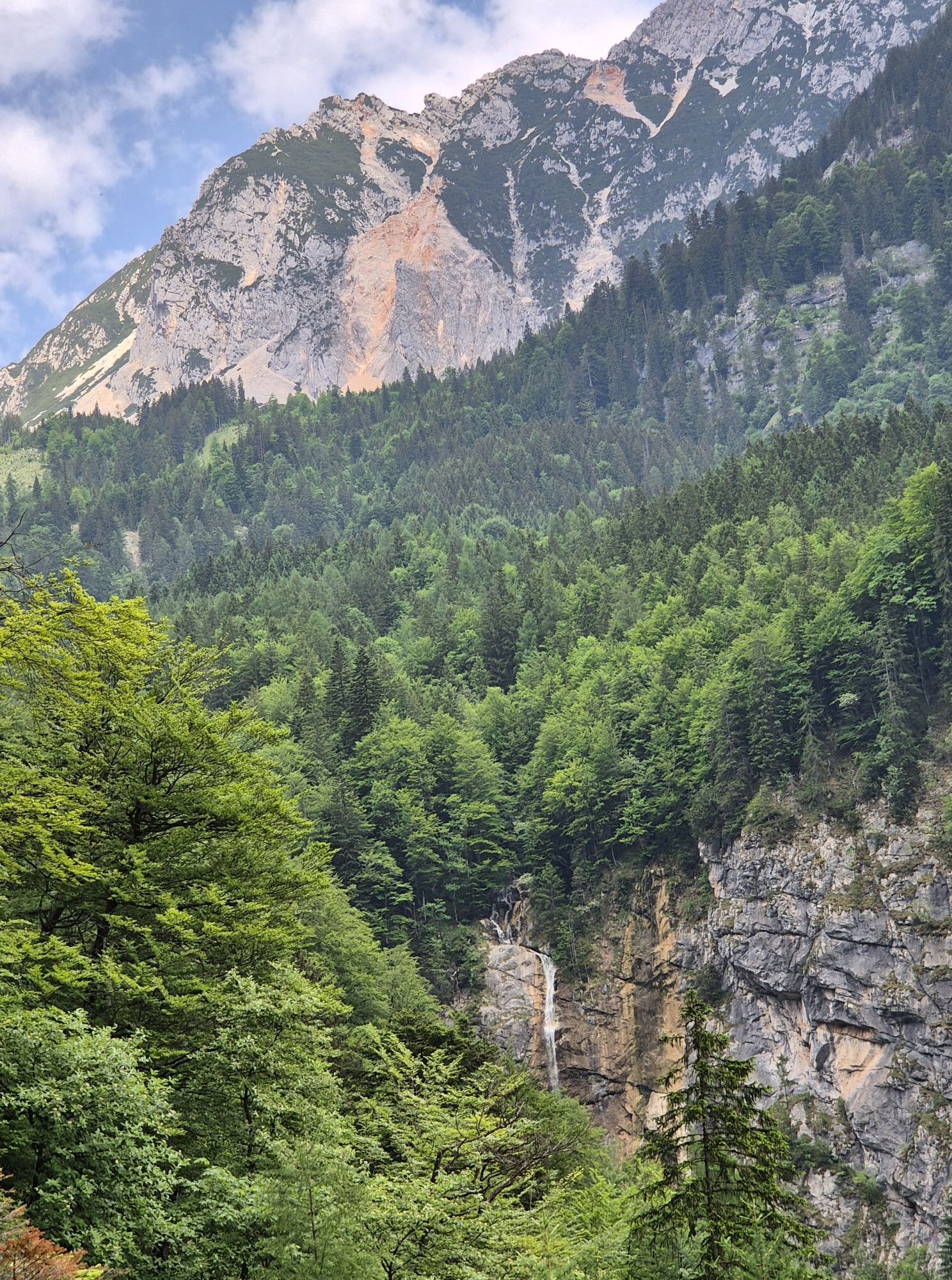
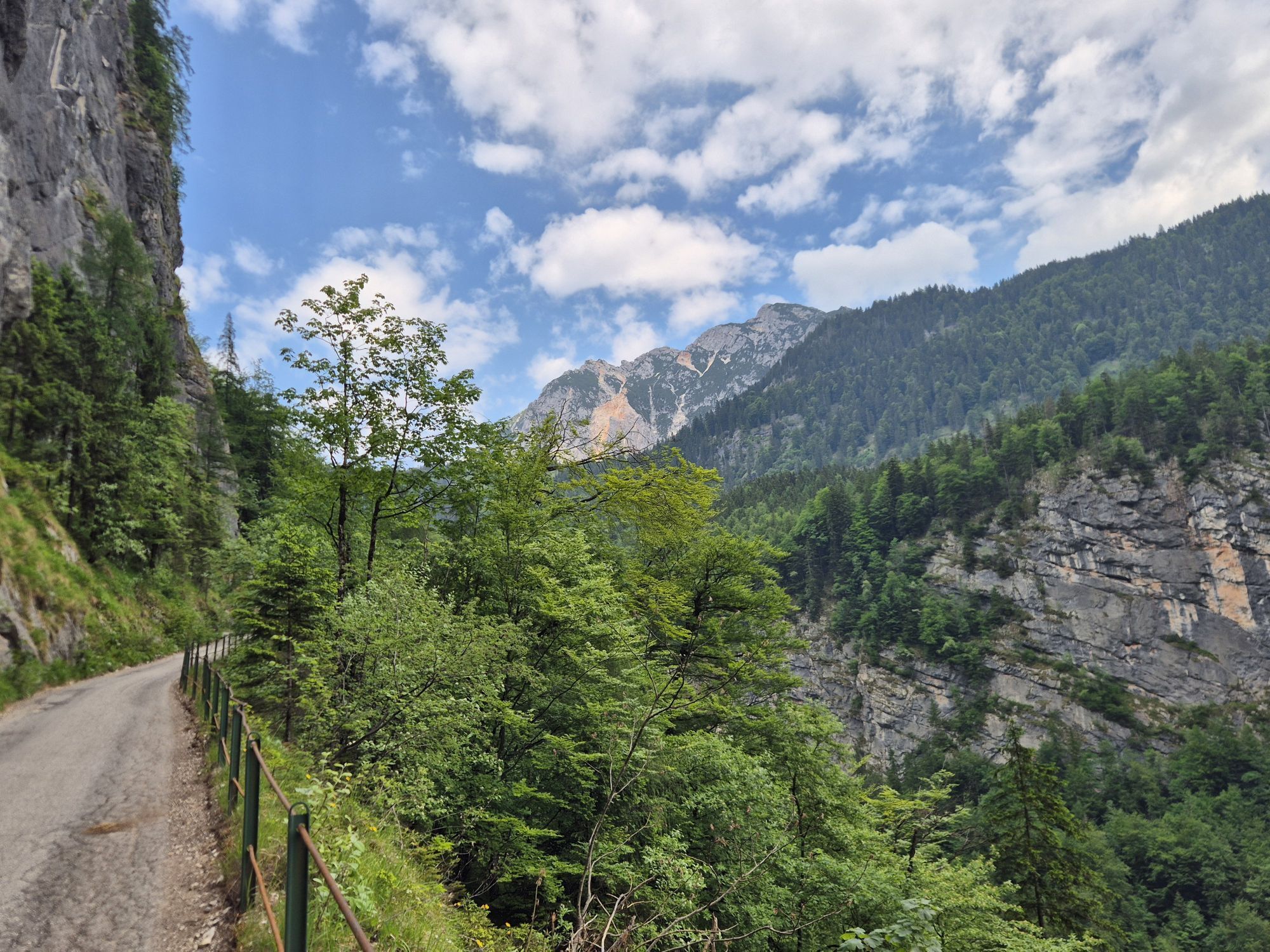
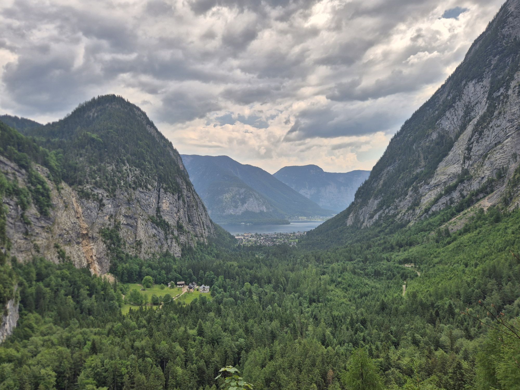

On this stage, you will experience one natural wonder after another as well as several historical special features – for example, the most important raised bog in the region, but also whetstone quarries...
On this stage, you will experience one natural wonder after another as well as several historical special features – for example, the most important raised bog in the region, but also whetstone quarries that are still used and preserved by idealists today, and of course the famous salt mine of Hallstatt. However, the most interesting area would not be recognized at first glance: under the rocky Plassen lay a center of prehistoric mining.

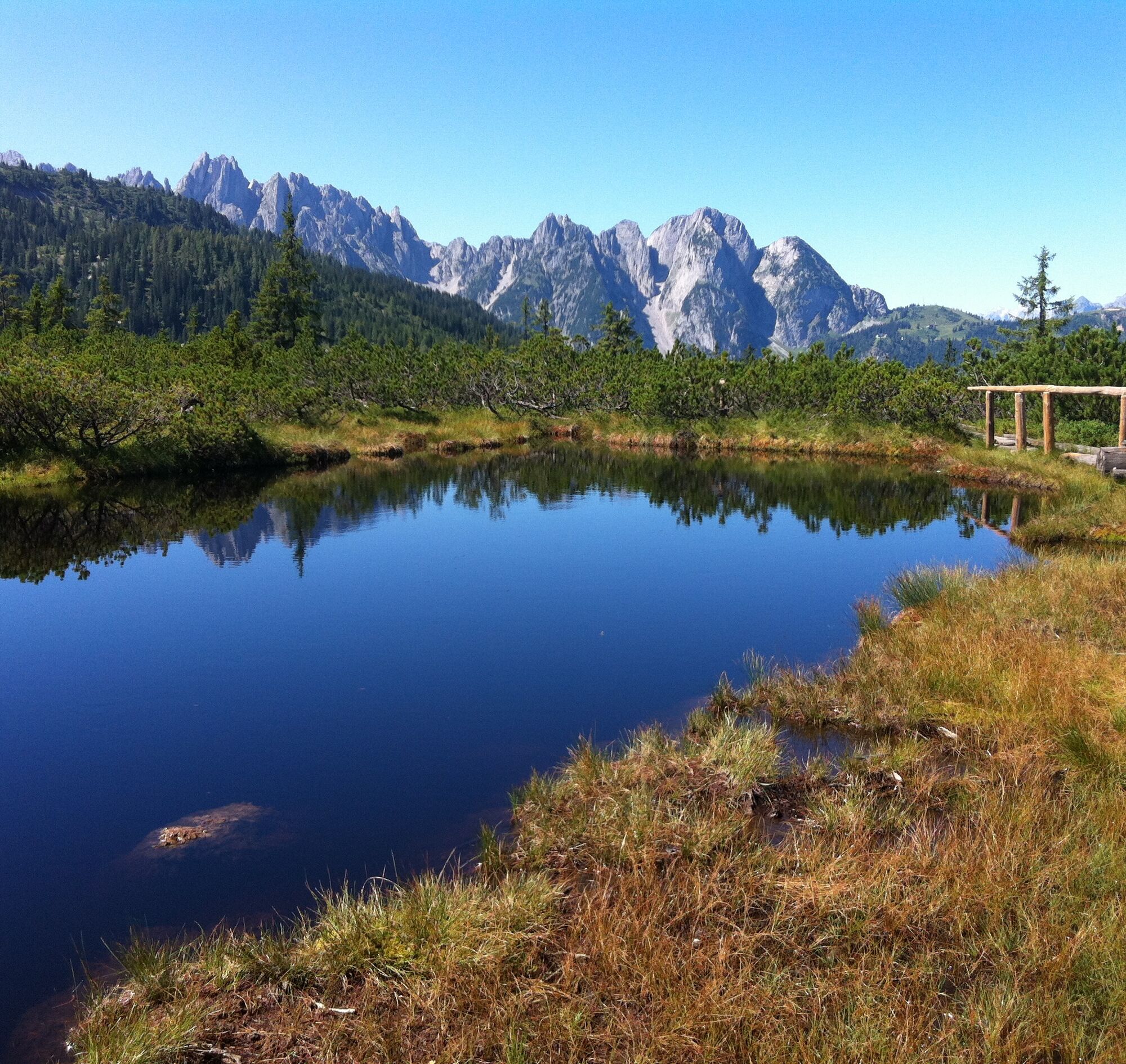
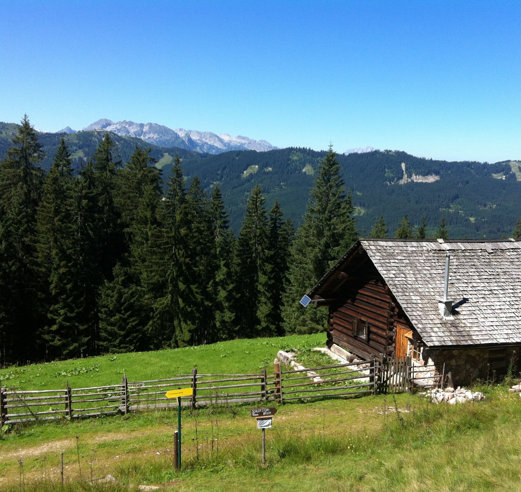
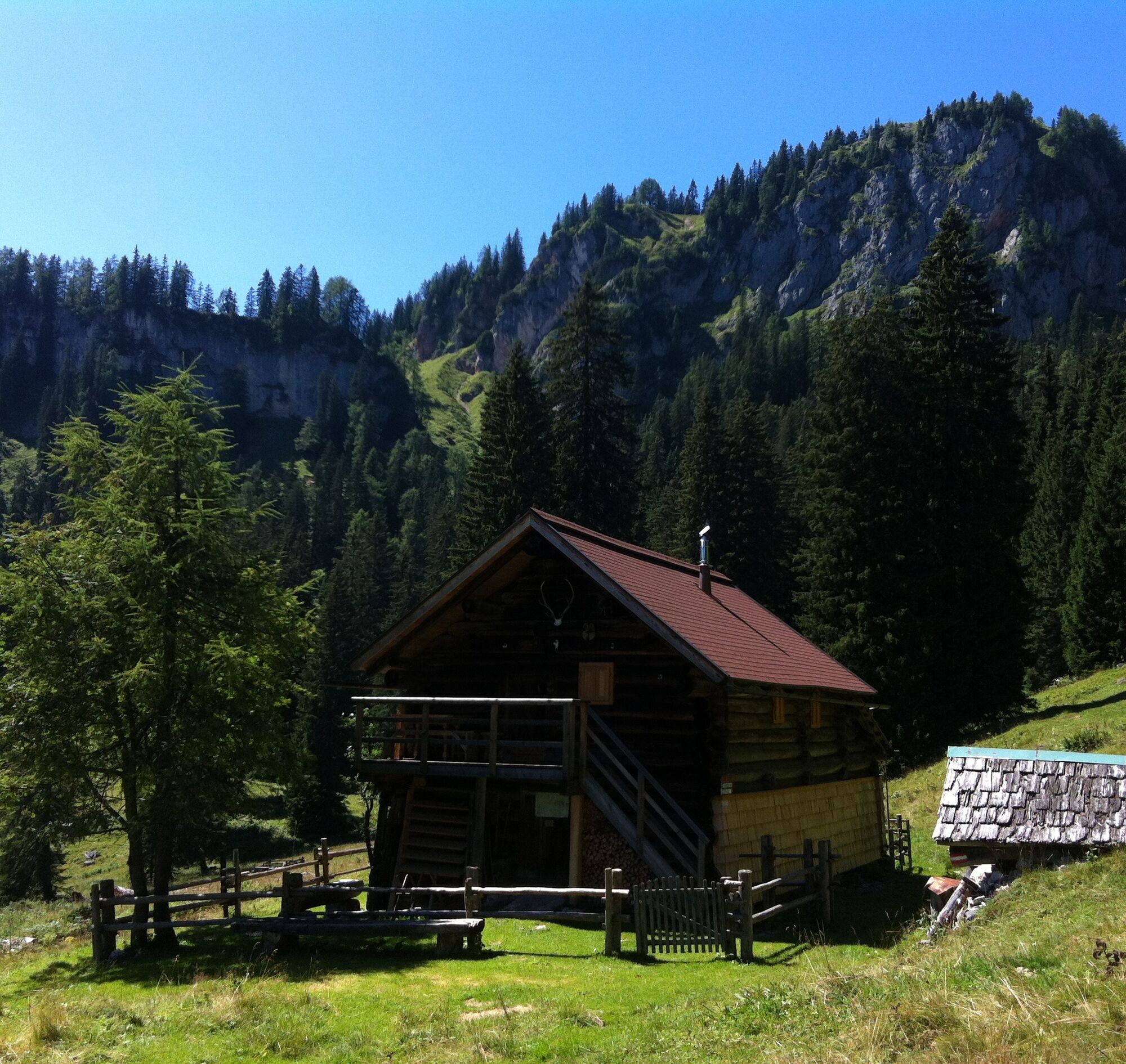
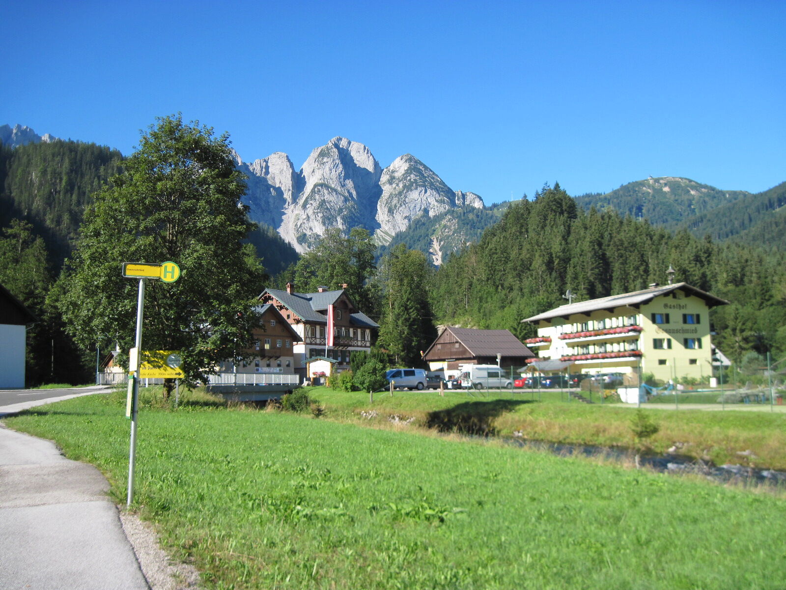
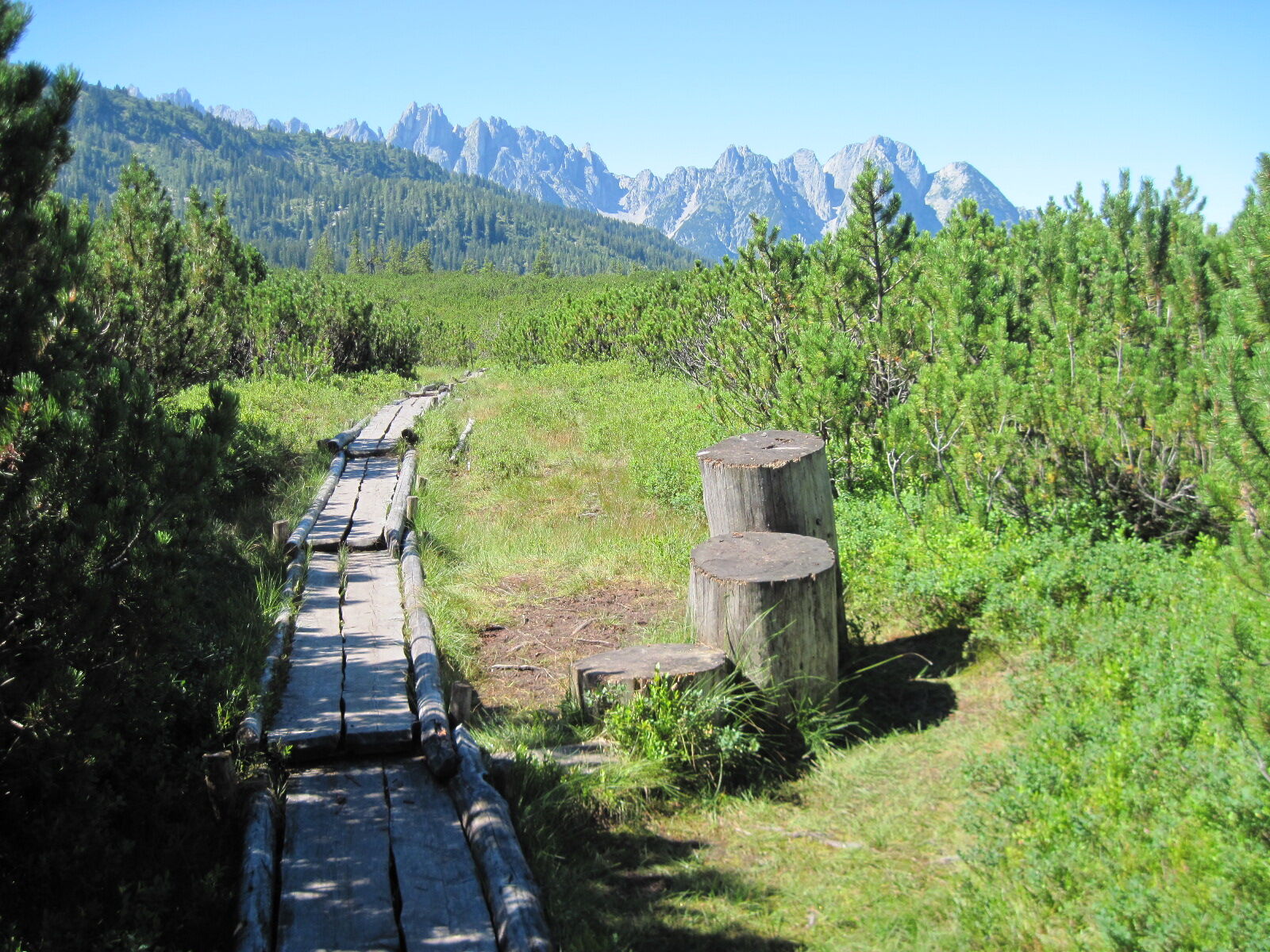

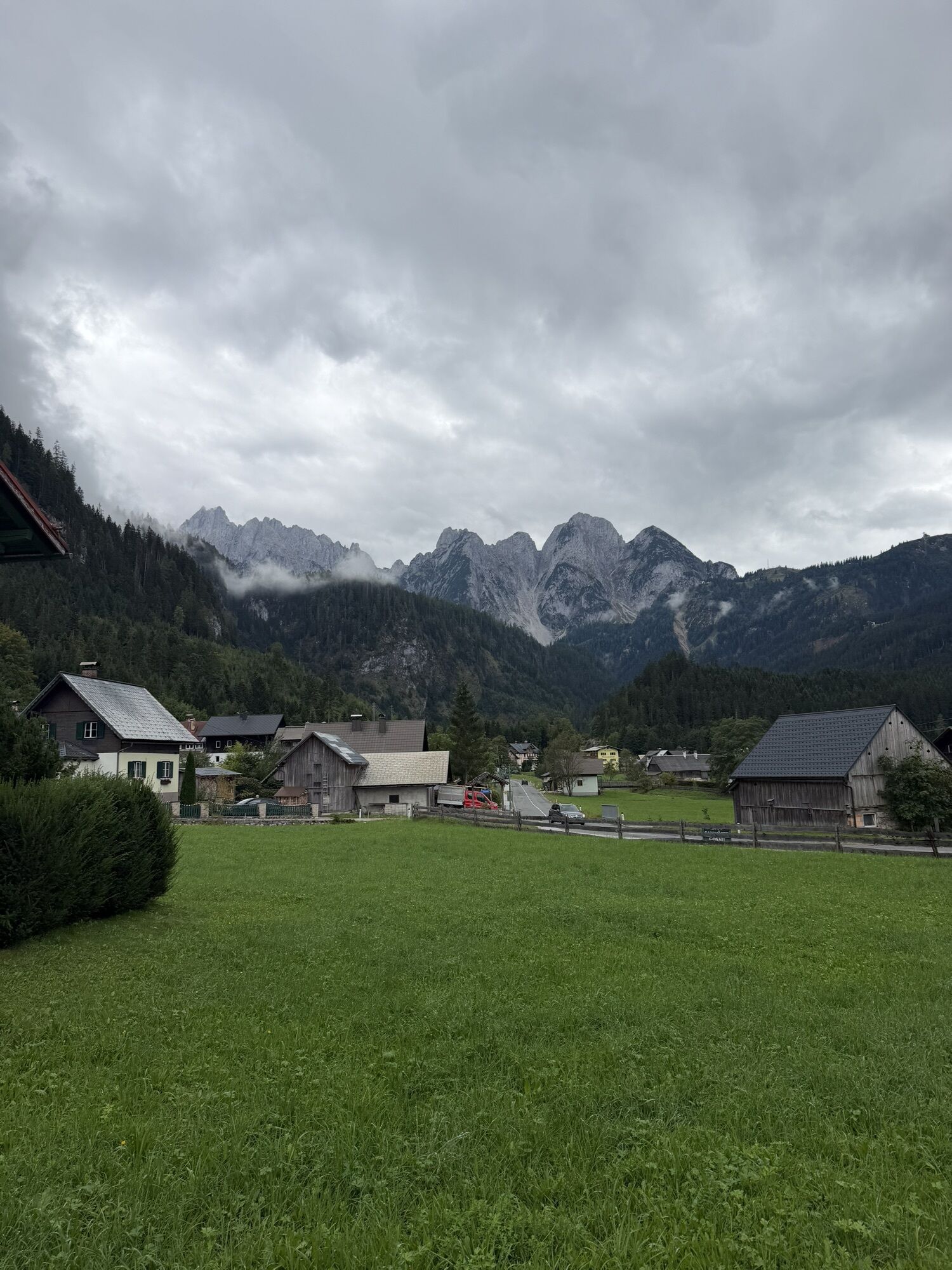
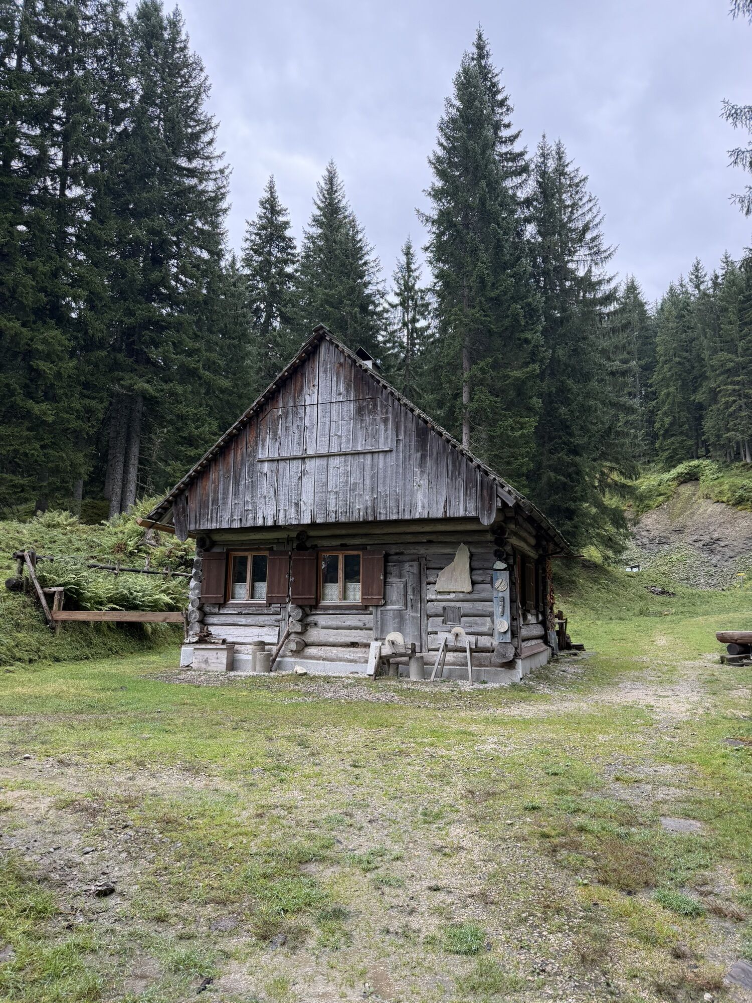
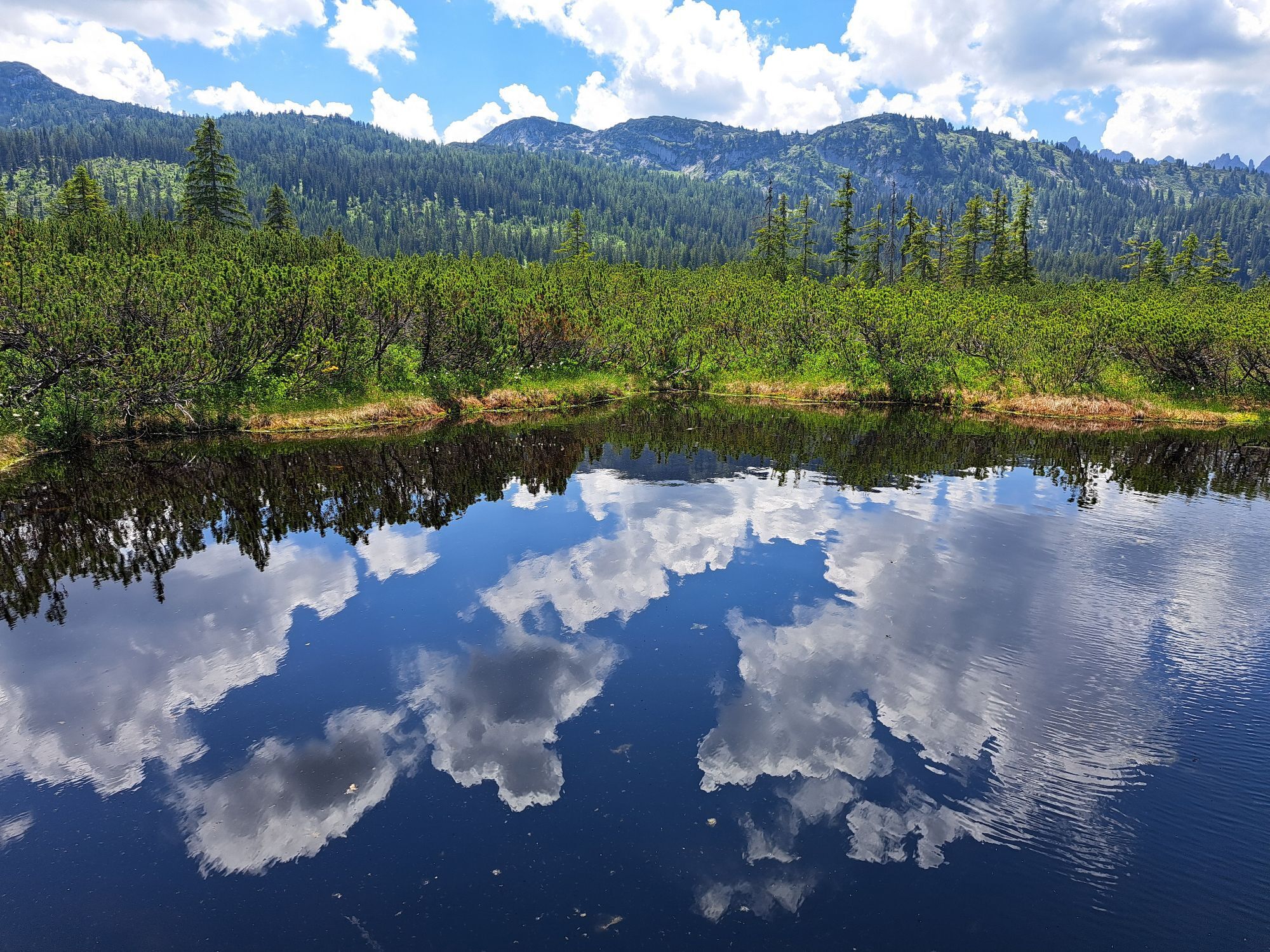
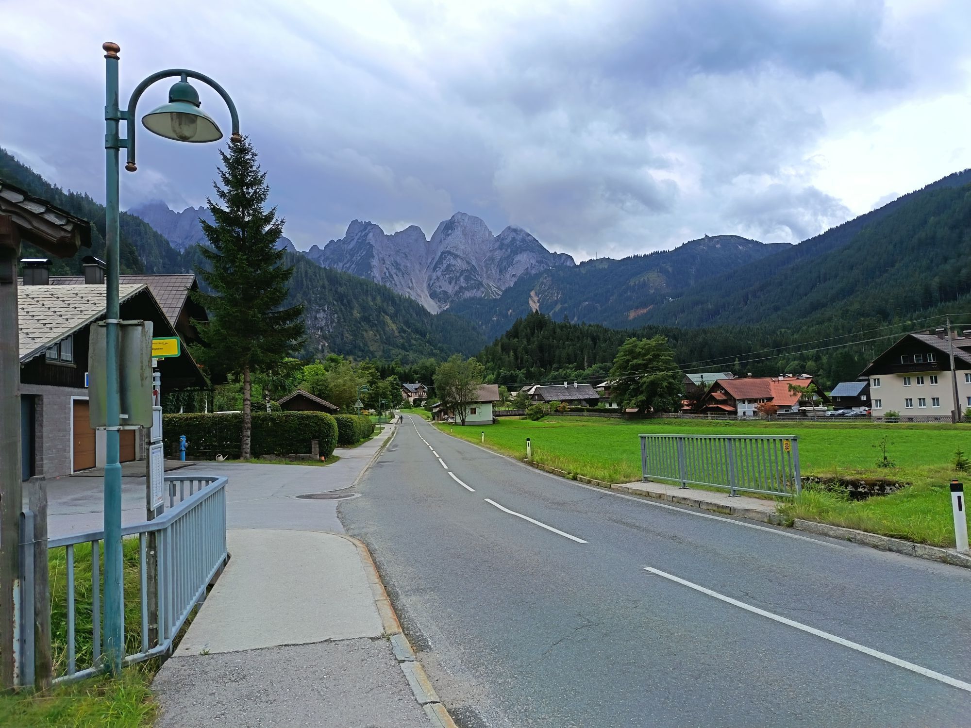
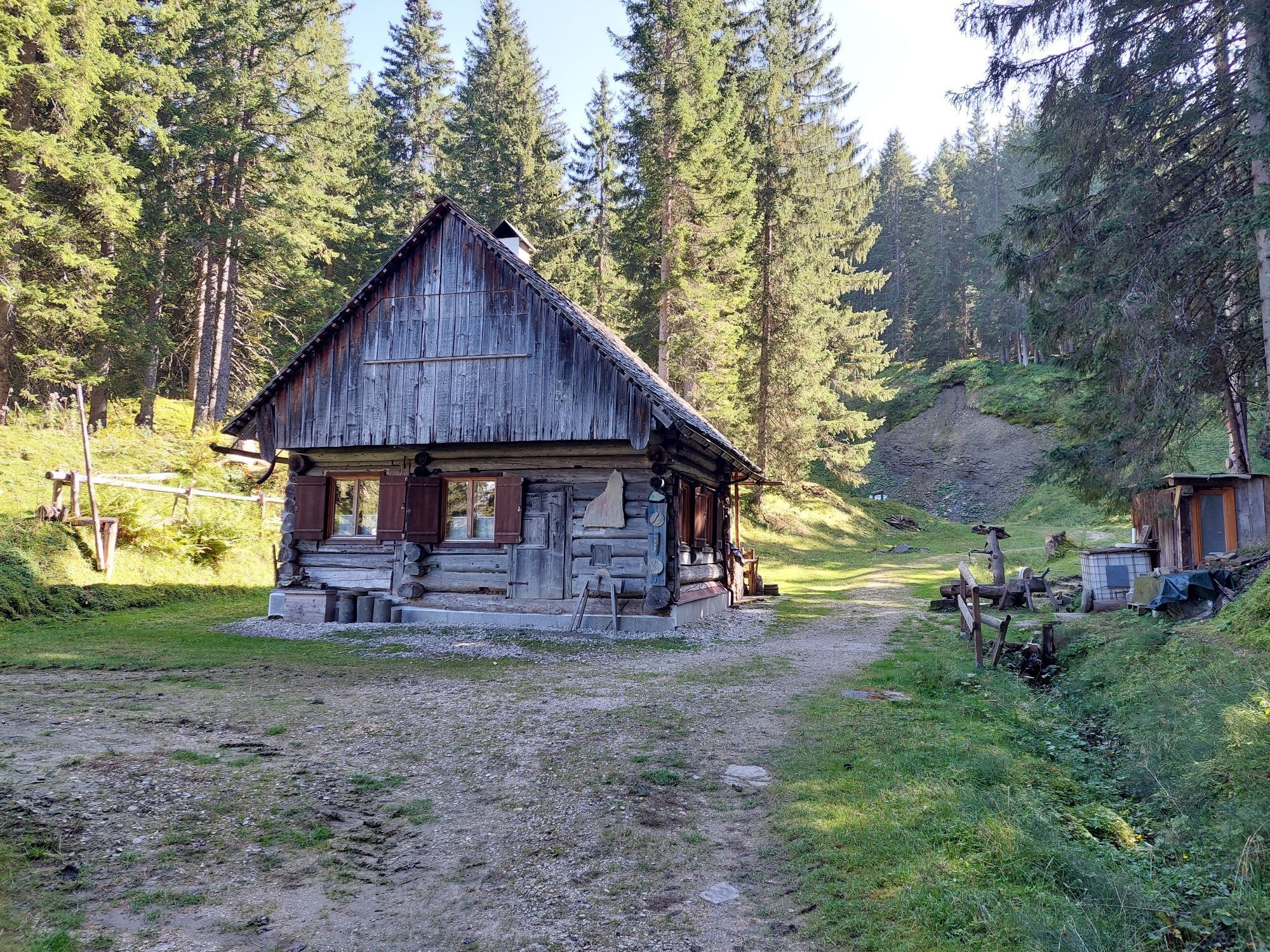
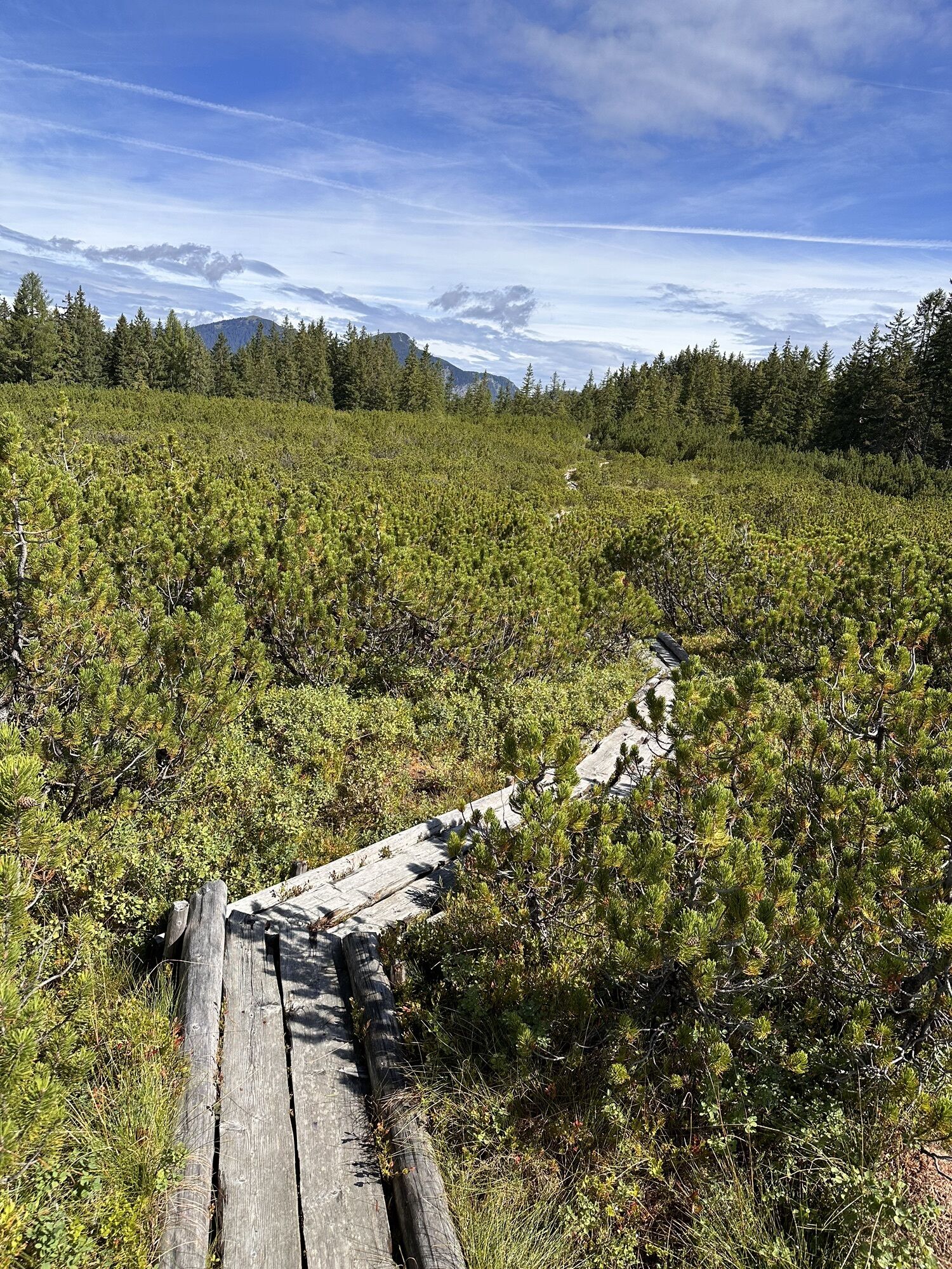
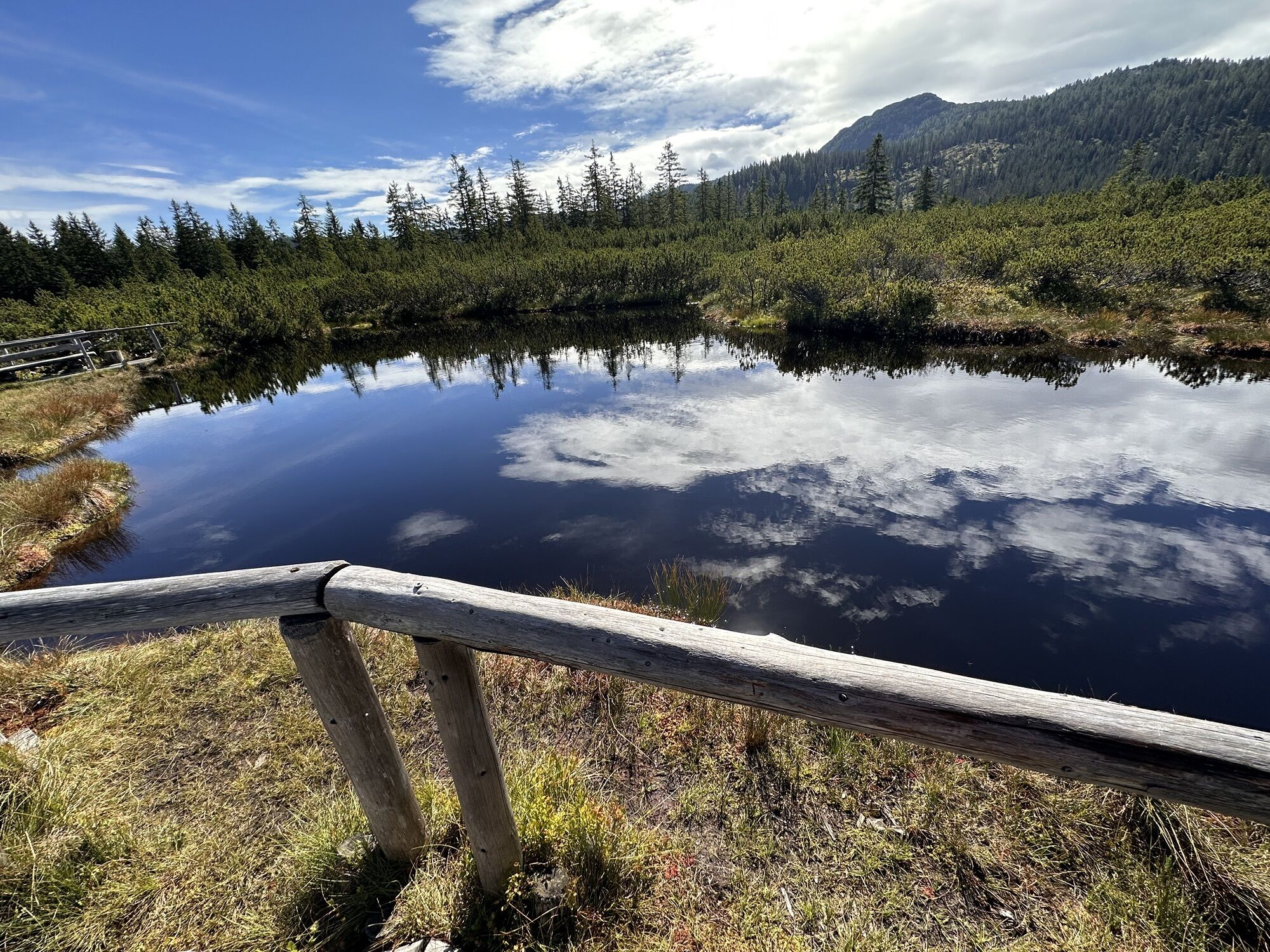
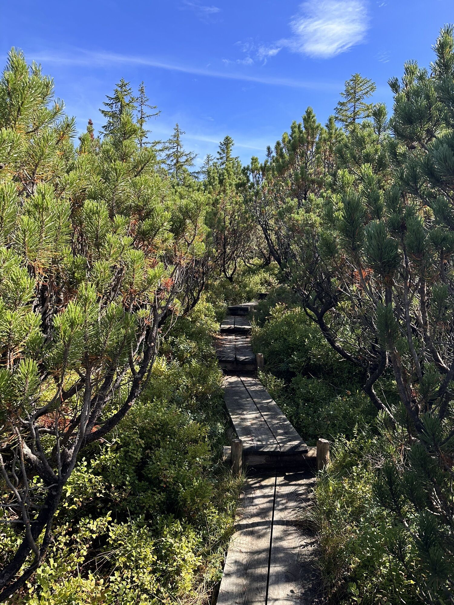
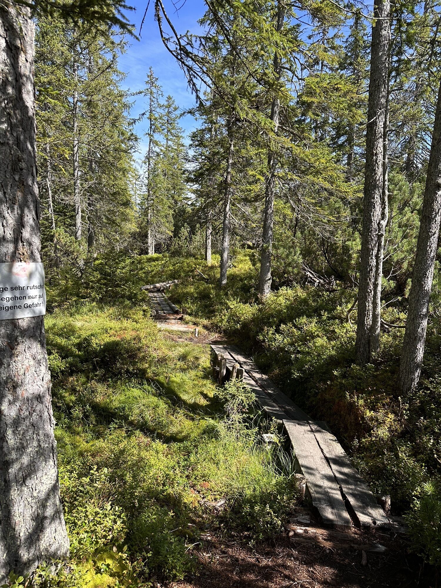
From the guesthouse Gosauschmied in Gosau-Hintertal, follow the Gosauseestraße about 500 m downstream. Before a bridge and a left curve, turn sharply right before the Gamsjäger bus stop onto Madlgasse. After about 300 m, the hiking trail no. 644 begins on the right with the signpost "Plankensteinalm, whetstone quarries, Löckernmoos", on which you ascend through steep forest slopes. It crosses two forest roads, turns right, and reaches the whetstone quarries below the Ressenberg. This area consists of fine-grained sandstone, deposited about 80 million years ago in the sea – it has been quarried for 400 years for the production of whetstones and sharpening stones. From the hospitable Badstubnhütte, a newly created, signposted path leads through primeval forest up to Löckernmoos (1,410 m). This strictly protected raised bog lies on the summit of the gentle mountain, is covered with "Löckern" (mountain pines or dwarf pines), and even has a small lake with dark moor water. From a viewpoint, you see many peaks in the surroundings – from Hochkalmberg over the Gosaukamm to Hochkönig. 2:00 h
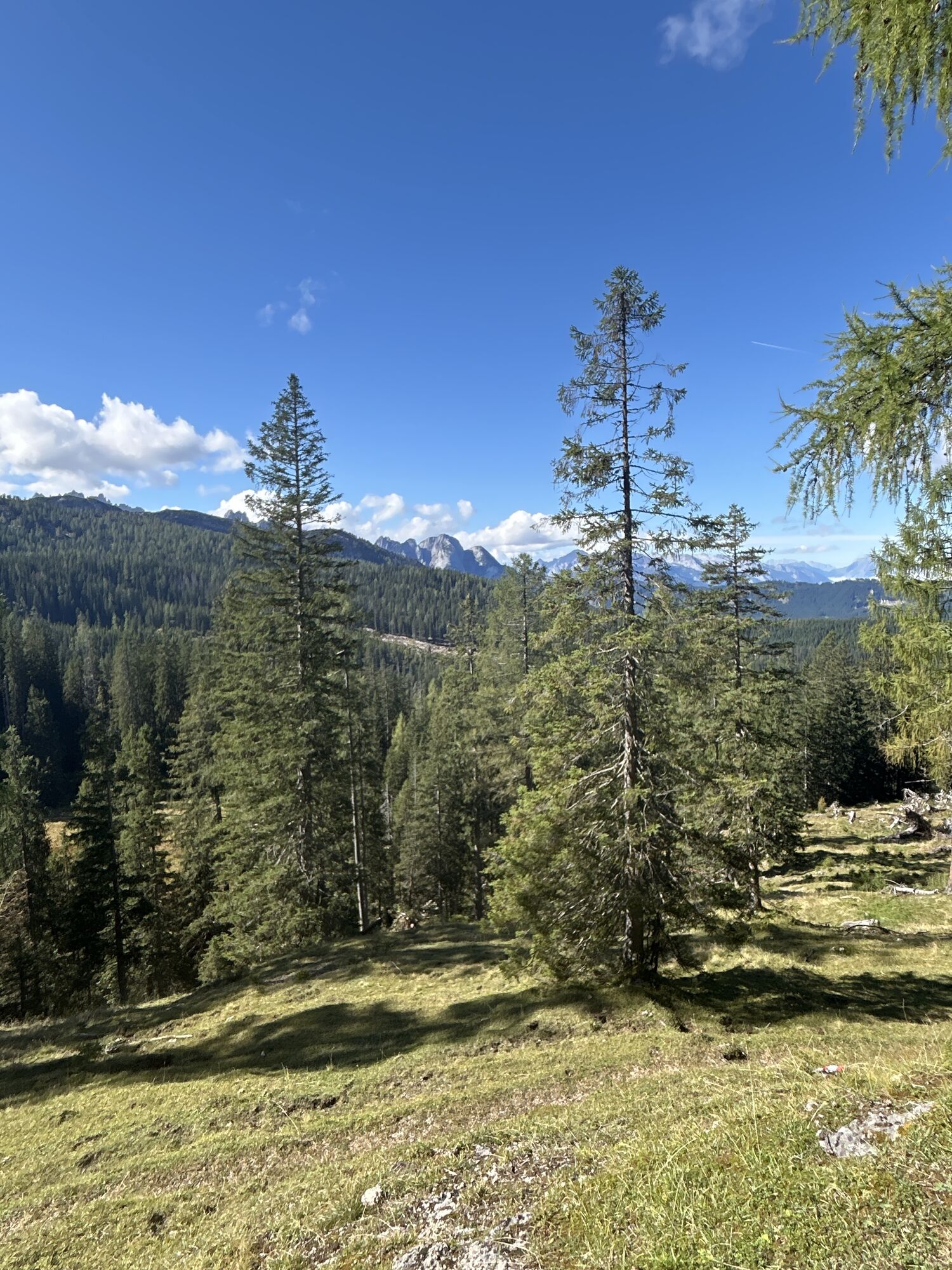
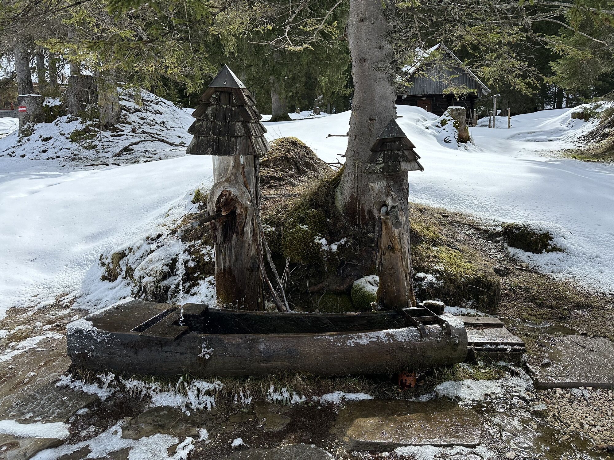
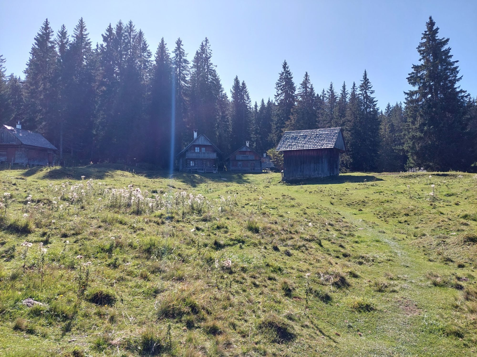
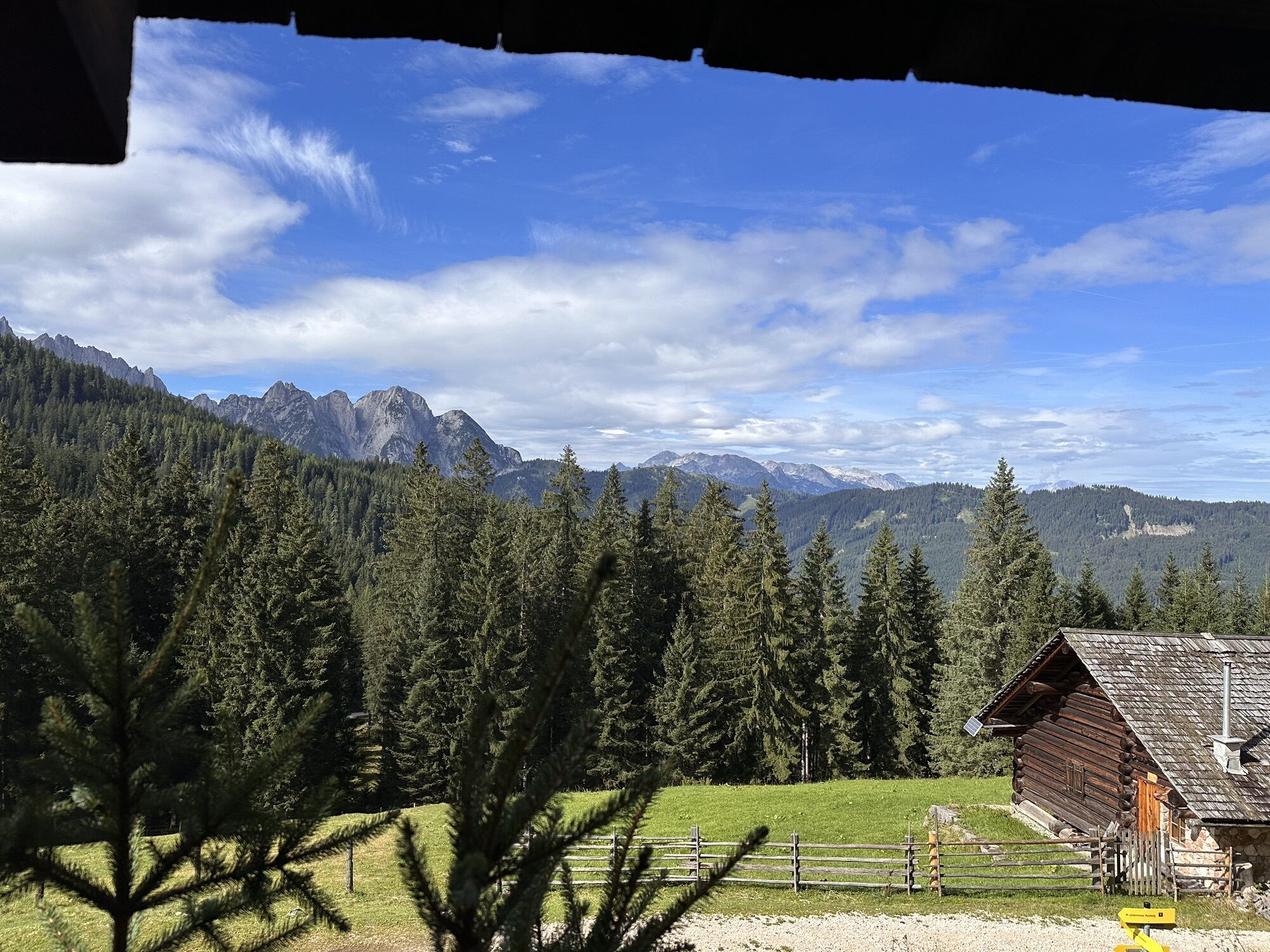
From the Löckernmoos lake, the path leads south down to the Hintere Grubenalm (1,336 m). On a forest road, you come to a nearby junction, from which you turn left to the Triamerhütte, operational in summer, on the Vordere Grubenalm (1,348 m). A few meters below that, a stream disappears in the legendary Wildfrauenloch. From the alpine pasture, it continues for about 20 minutes on the road to Rastbankanger, until the sign "Plankenstein-Alm" shows the turnoff of trail no. 644. On this route, you ascend right through romantic forest terrain to the wide, forest-fringed high pasture of Plankensteinalm (1,530 m). This is the largest contiguous alpine pasture area in the inner Salzkammergut – and perhaps the most beautiful. In the south, you see the limestone-gray Dachstein forelands around the lonely Ochsenkögel and the mighty Hohe Kreuz (2,837 m); in the northern part of the meadows, the 200-year-old Leutgebhütte invites you for rest and refreshment. 2:00 h
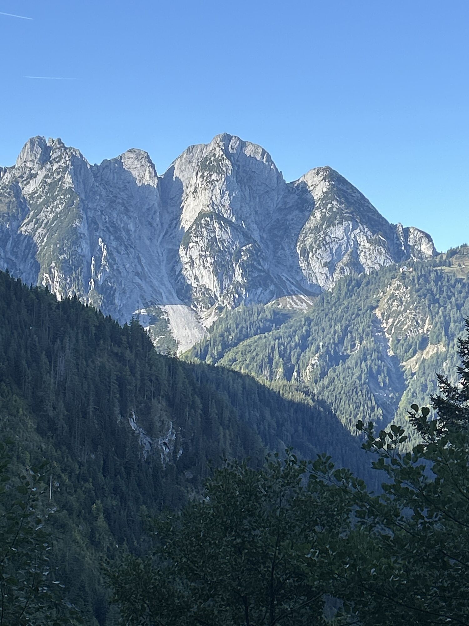
Now you hike diagonally across the gently undulating alpine pasture to the east. Where the sparse tree growth begins, the sometimes poorly visible path turns slightly left – pay close attention here to the red-white-red markings on stones and trunks! Further ahead, the route is more well-trodden again; it leads below the Hohe Scheibe (1,659 m) through small hollows and clearings to the about 800 m distant "Durchgang". This small saddle (gate) forms the connection to the Durchgangalm (1,378 m), to which you descend steeply beside rockfalls. Above the forest and alpine pasture basin rises the rocky Plassen (1,953 m); fresh rockfalls and huge debris slopes show that this is a geologically unstable area. You follow a forest road briefly, then continue left on trail no. 644. After a forest descent, a forest road enters from the right, then it goes slightly uphill again to Dammwiese (1,350 m). On this saddle between Plassen and Solingerkogel (1,406 m) there was salt mining in the younger Iron Age. From the 2nd century BC, a center of La Tène culture developed here, which lasted until after the birth of Christ.
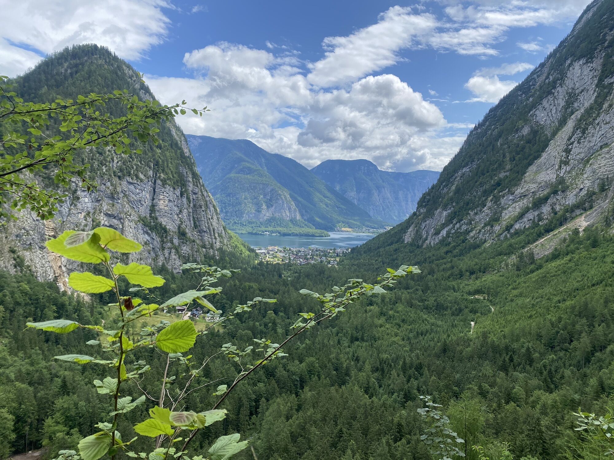
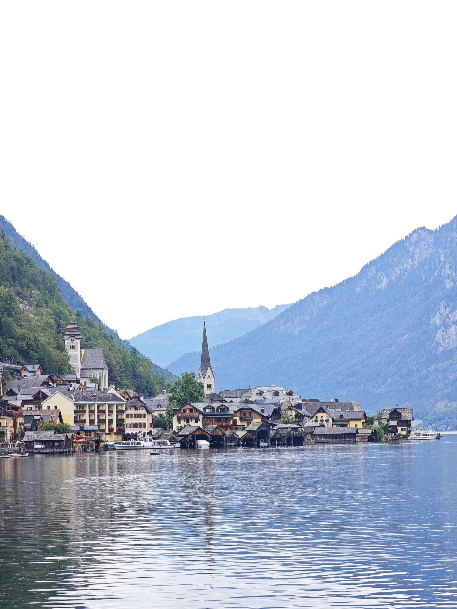
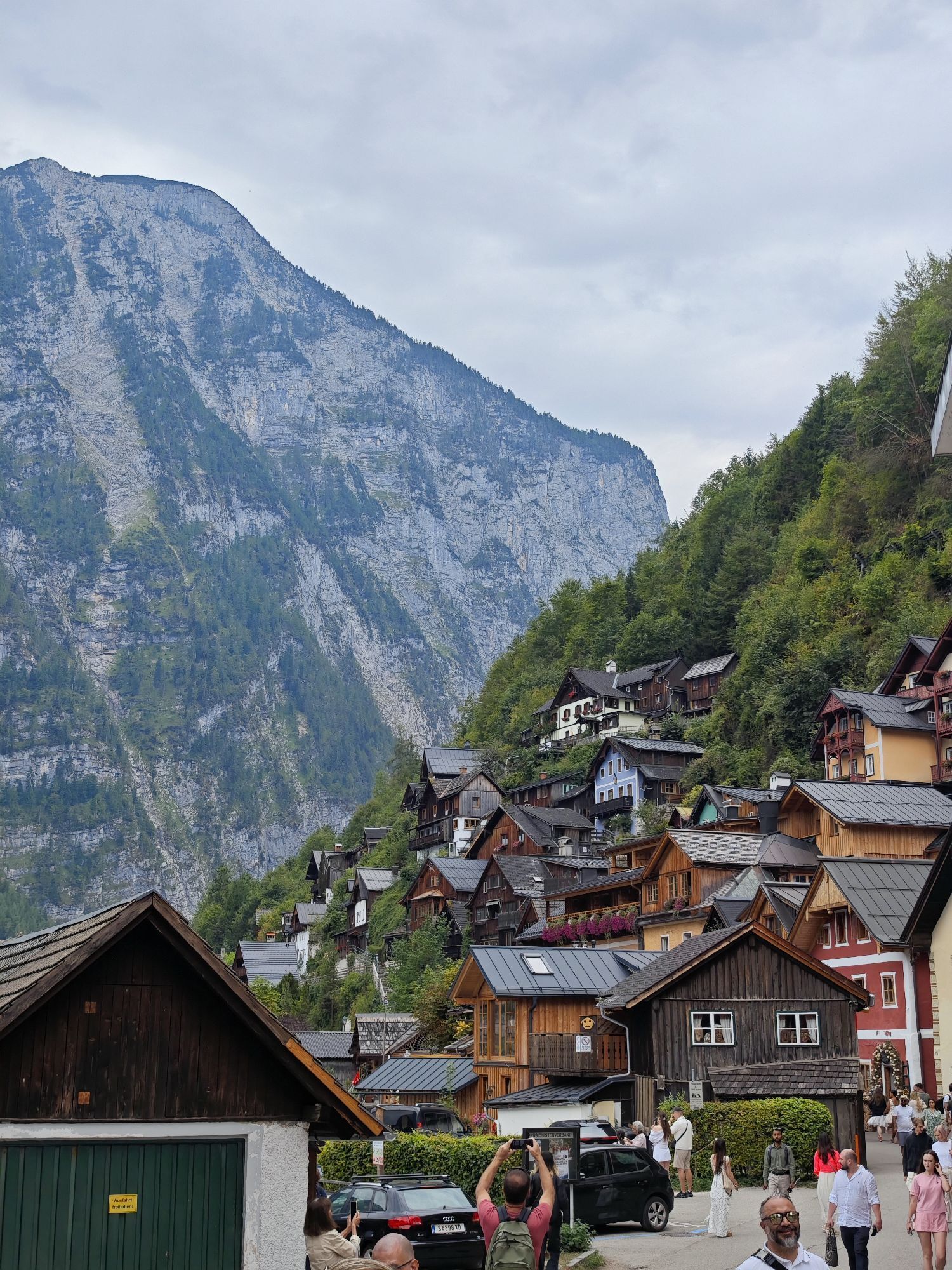
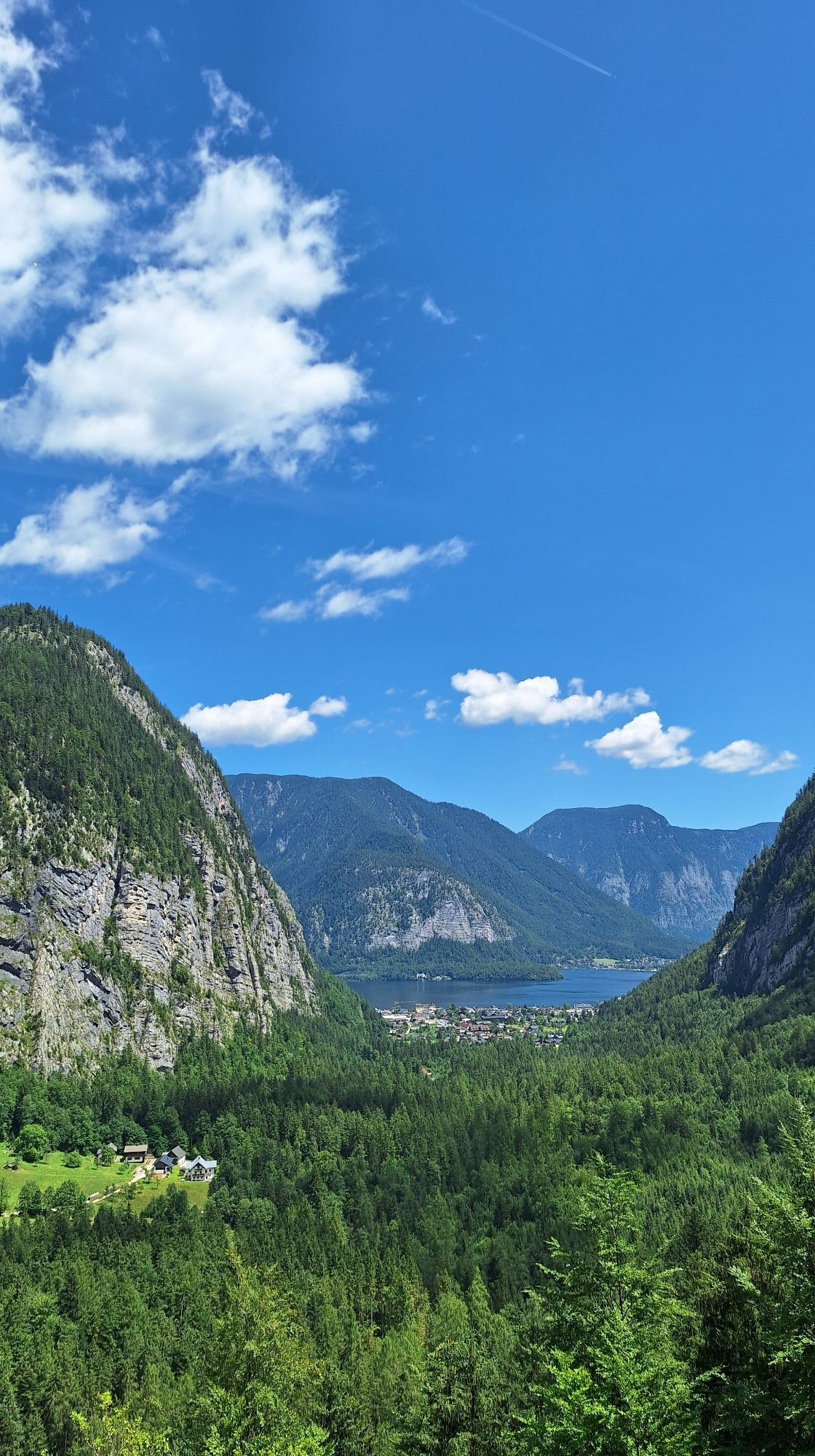
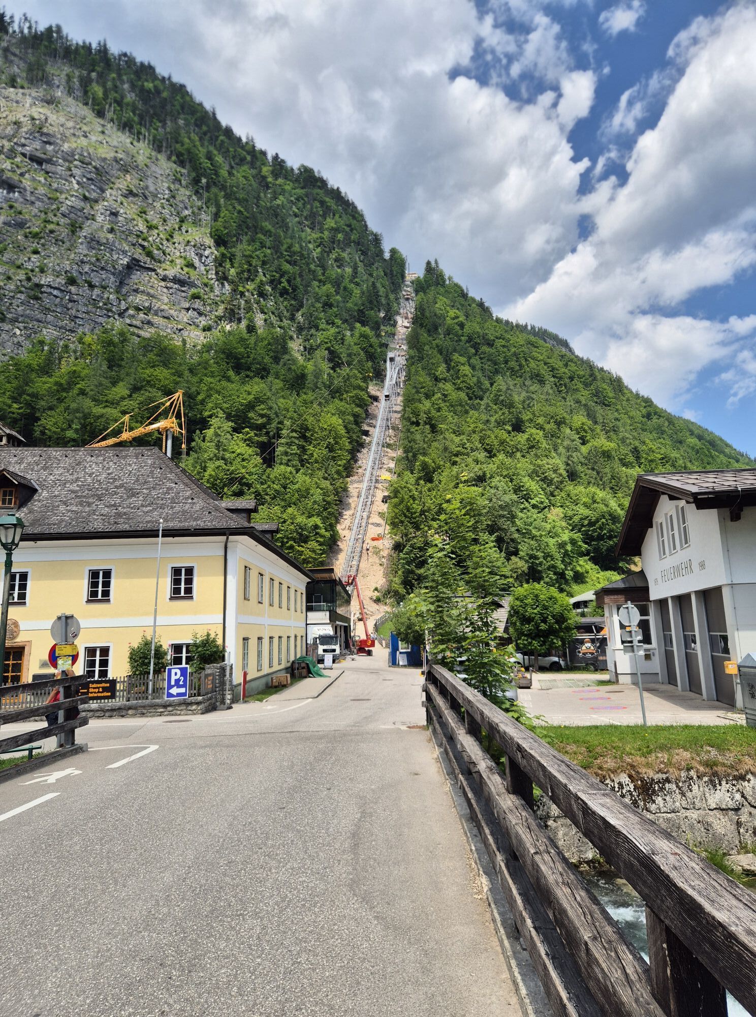
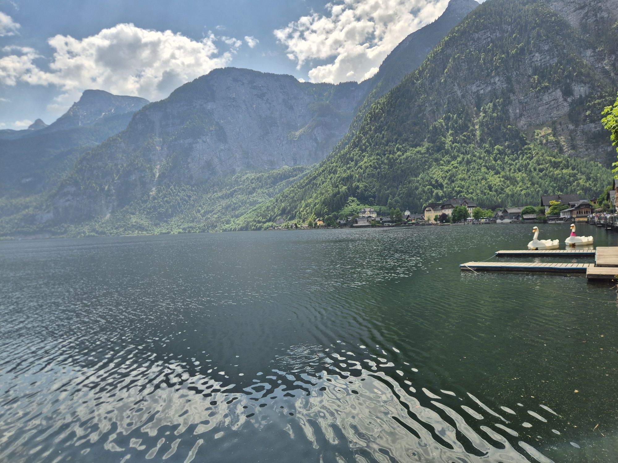
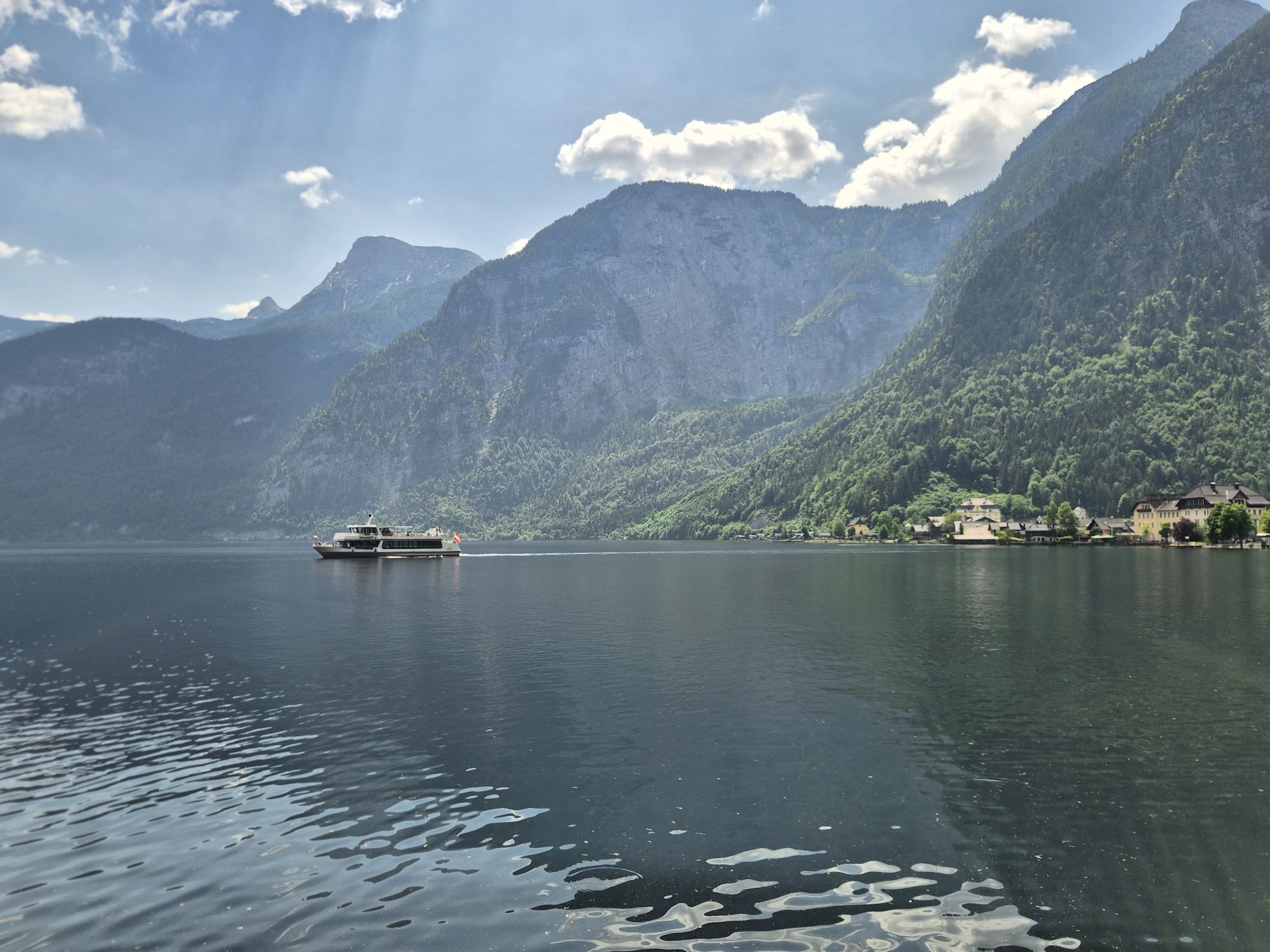
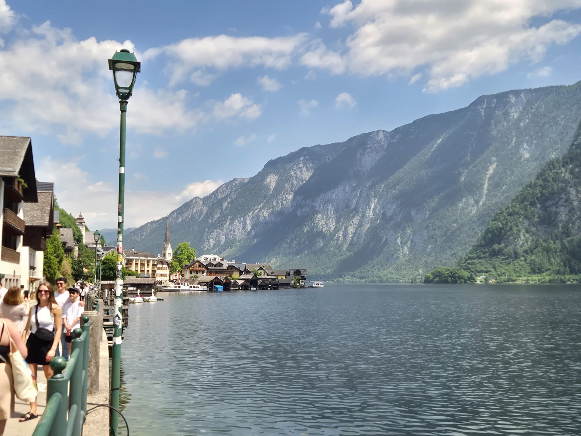
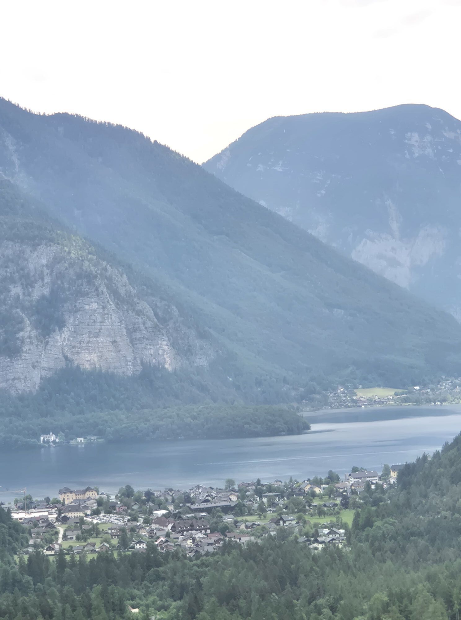
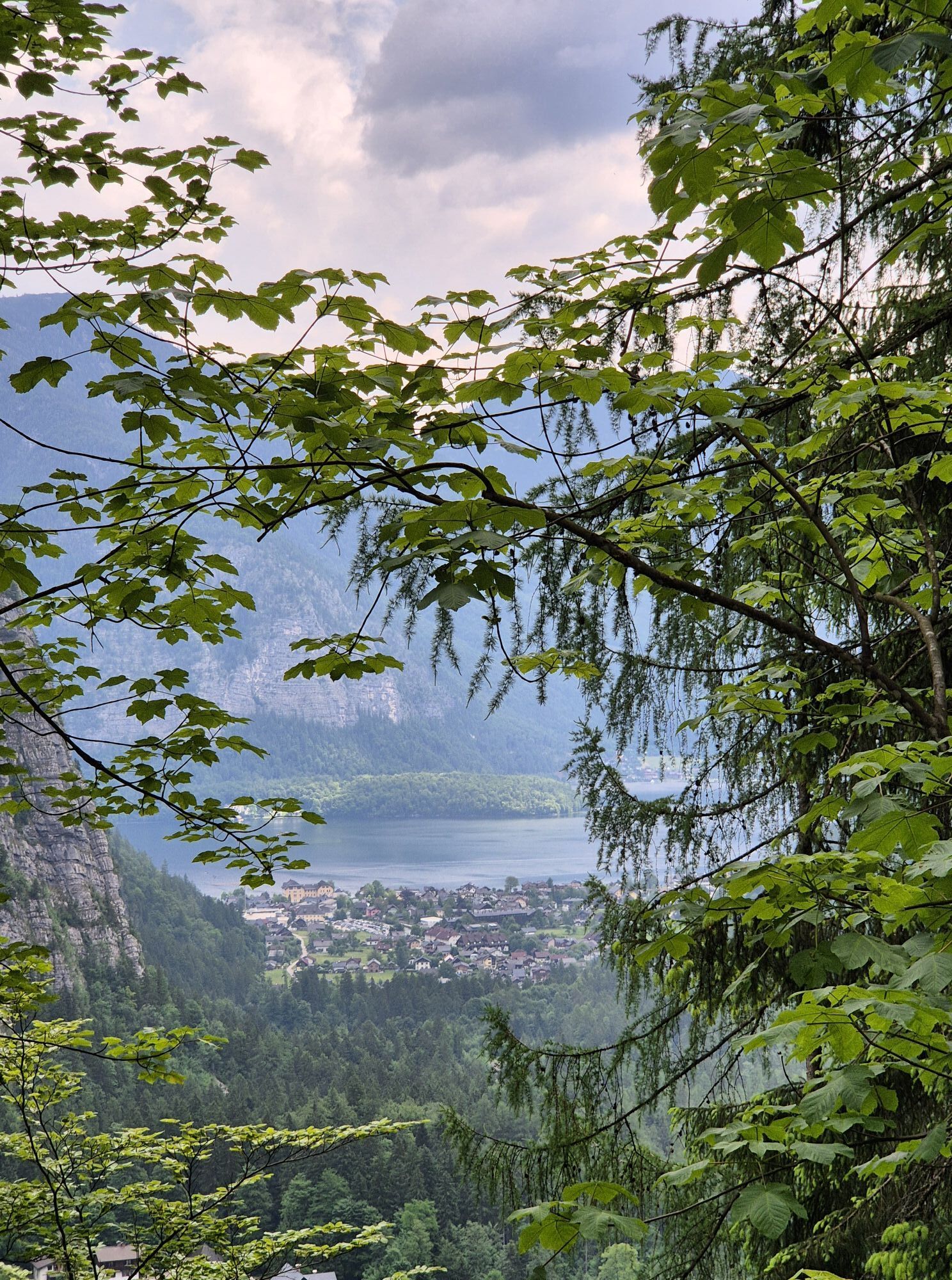
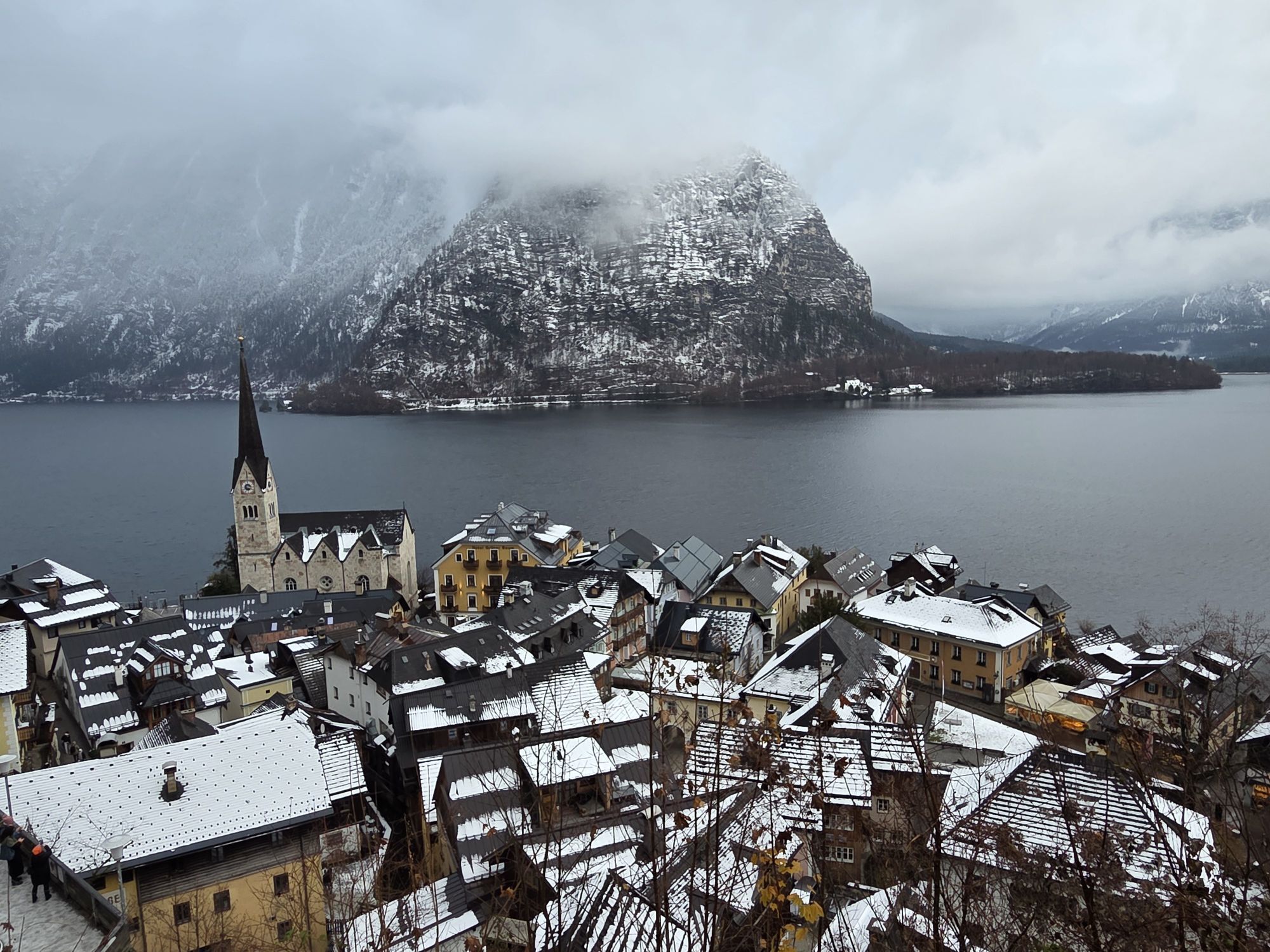
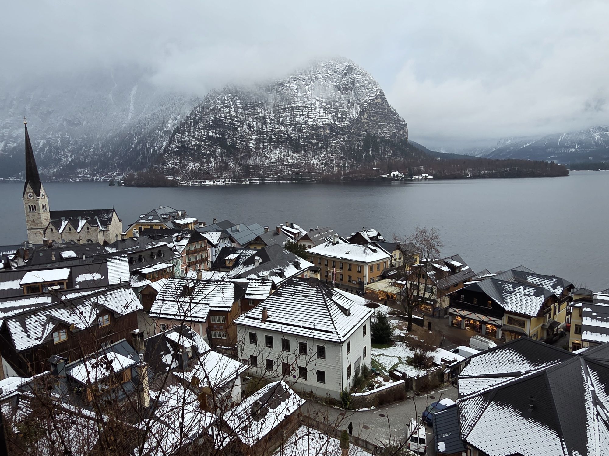
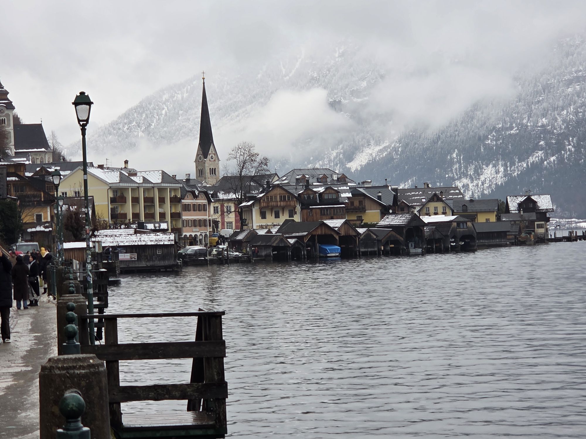
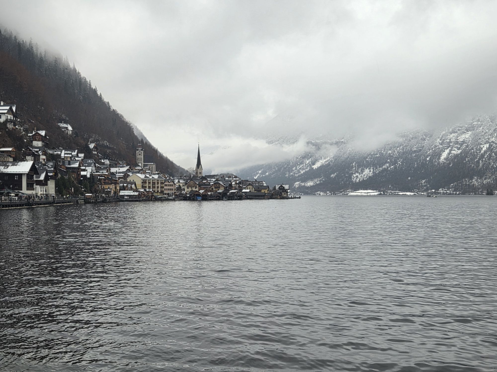
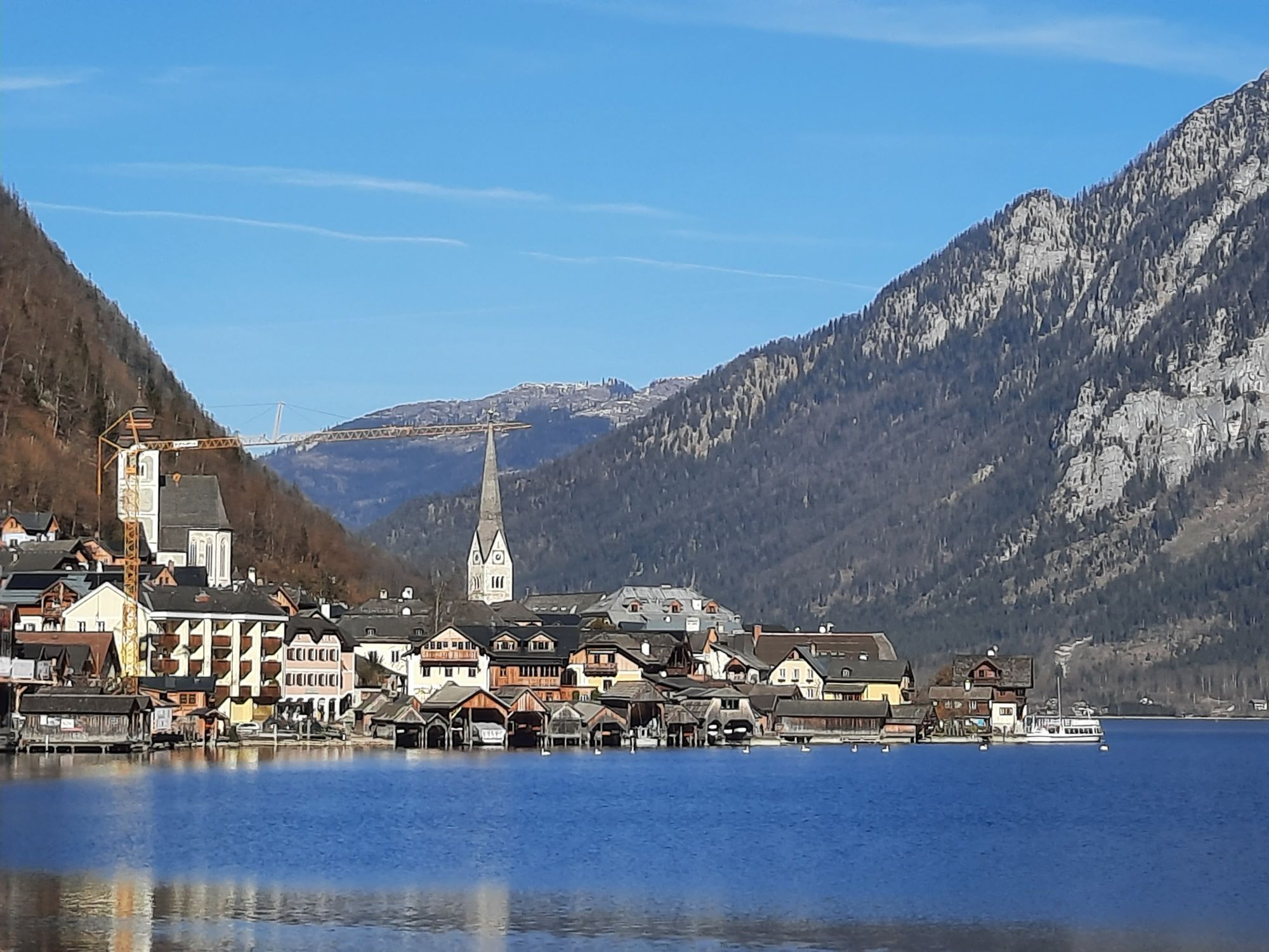
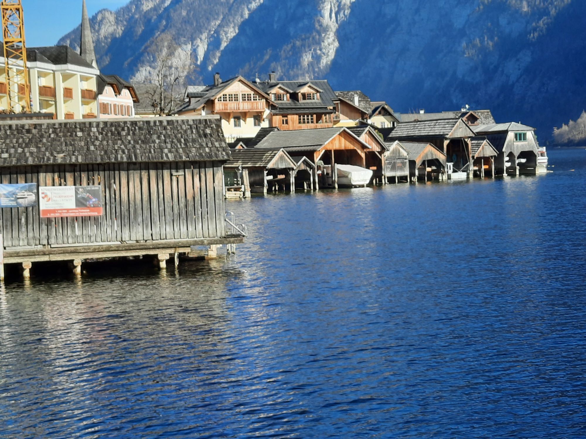
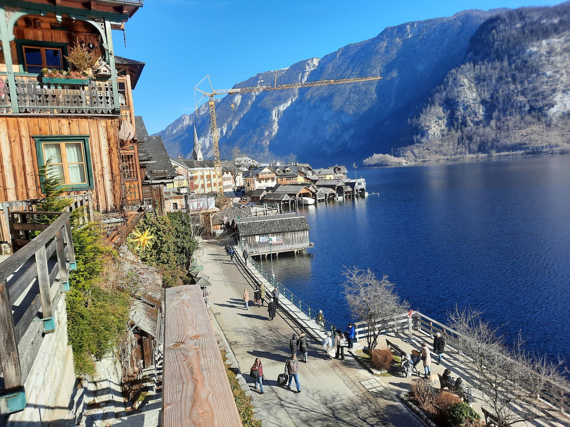
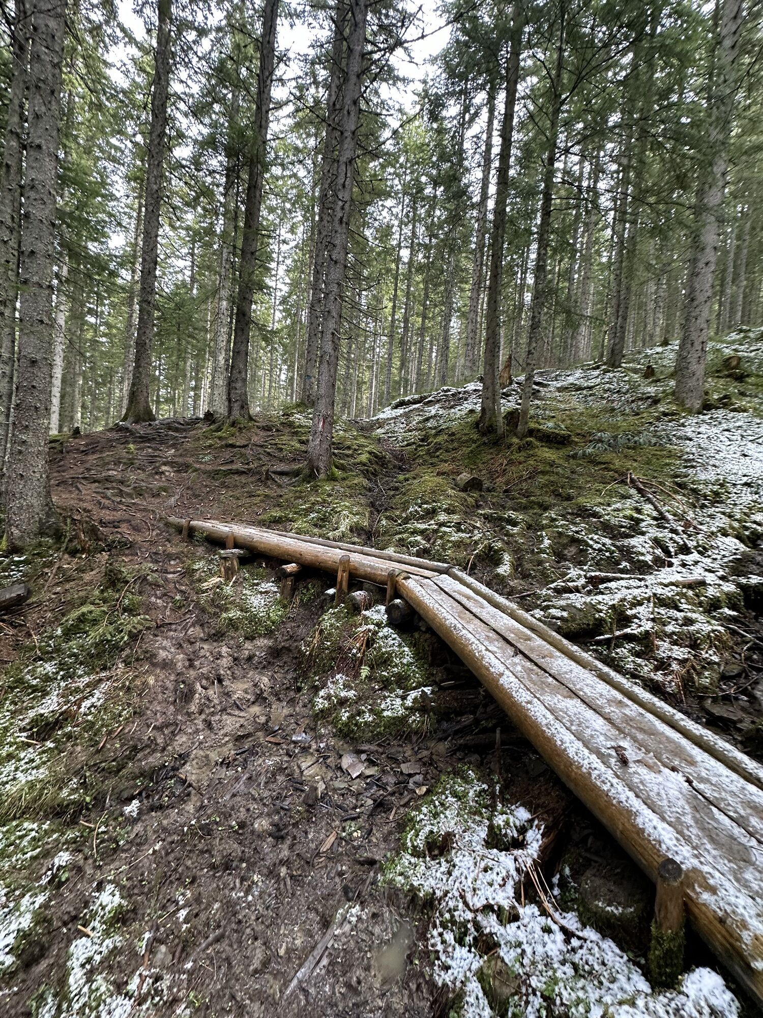
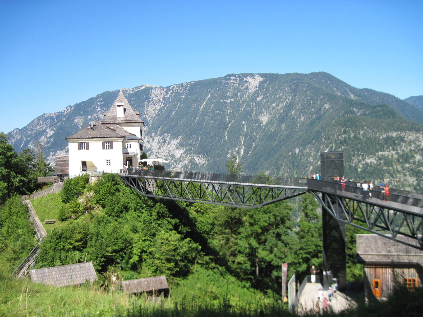
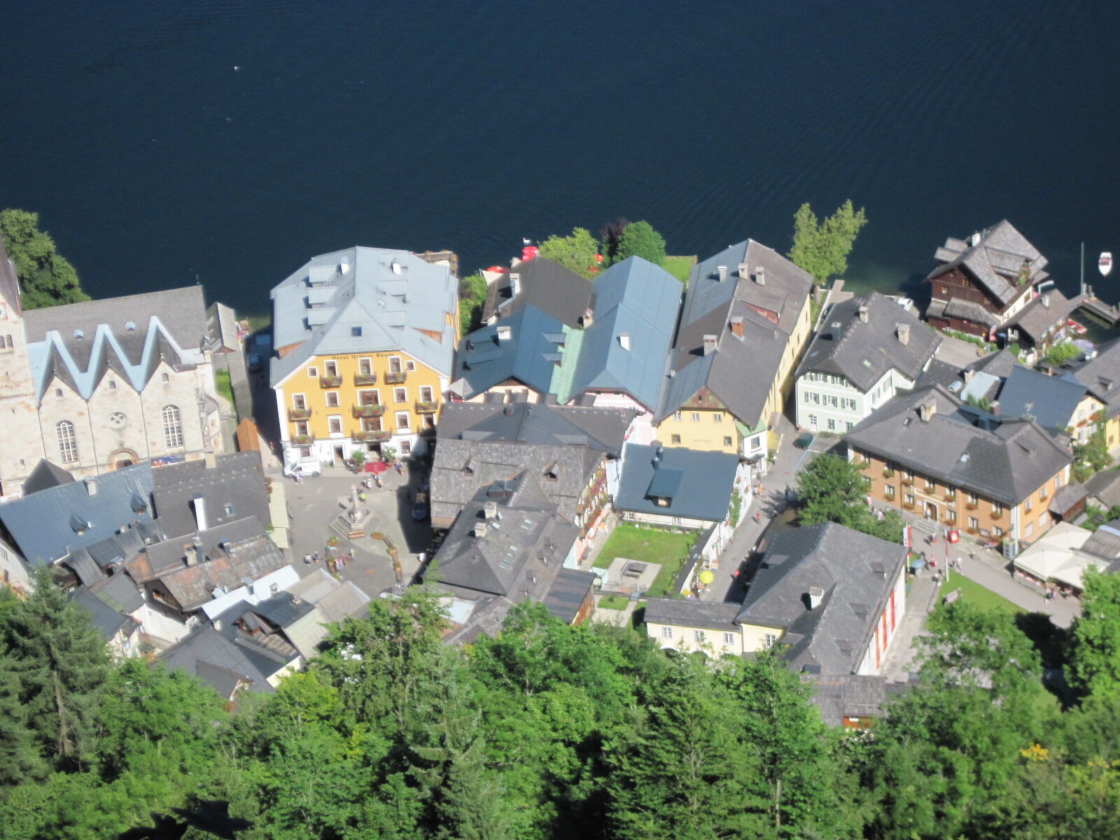
Through a kind of grassy jungle and on wooden walkways, you descend into the Salzbergtal where you reach a road. Below on the right is the modern salt mine; the broad but steep path there passes several mine entrances. Past the entrance building of the show mine (Salzwelten Hallstatt) and a "walkable grave" that commemorates the cemetery discovered here with more than 2000 people buried from the 1st century BC, you reach the Rudolfsturm (855 m). Below this medieval defensive tower, now hosting a restaurant, the viewing platform "Welterbeblick" offers a great view down on the market Hallstatt and lake Hallstätter, 300 m below. 2:00 h
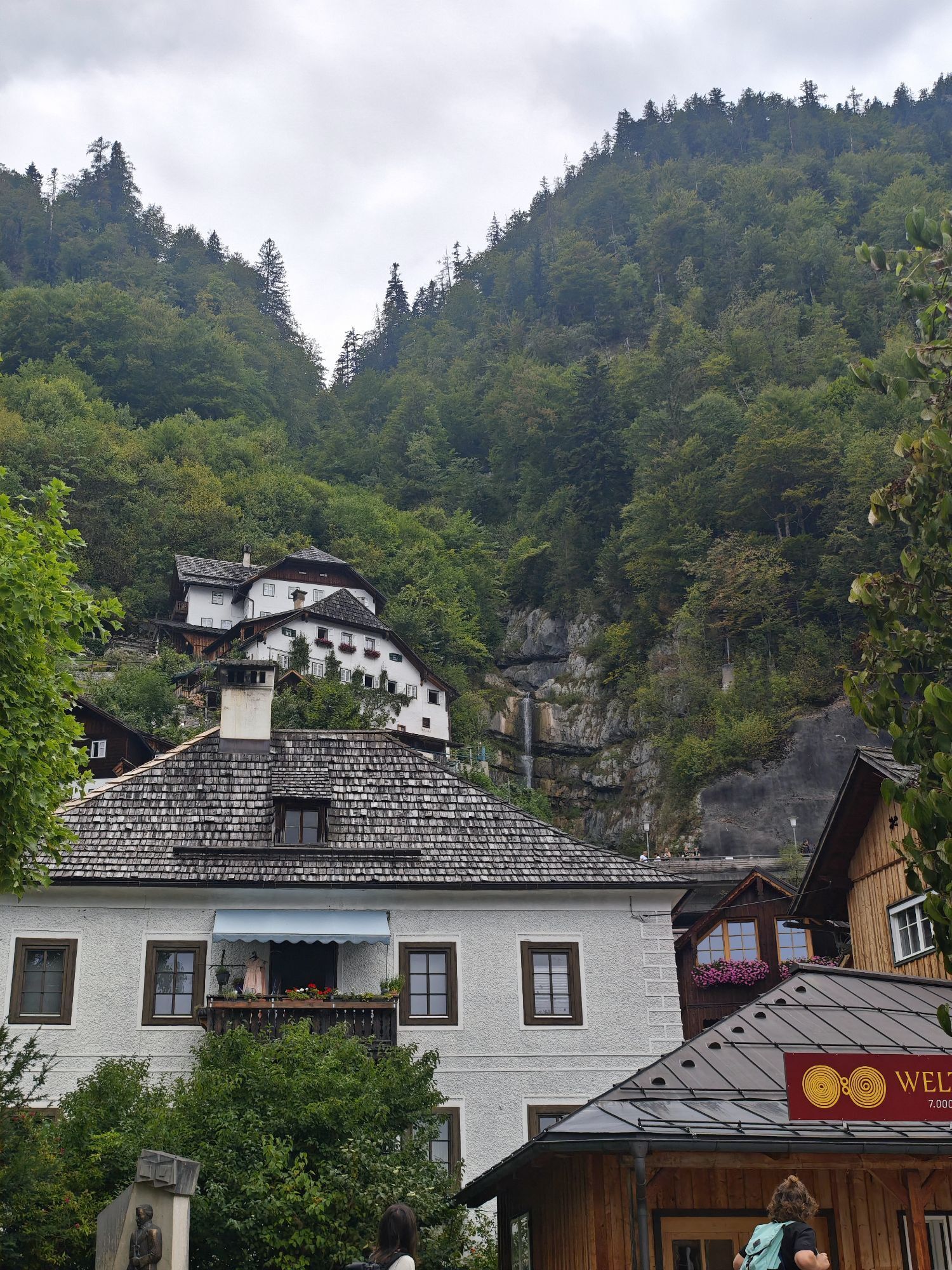
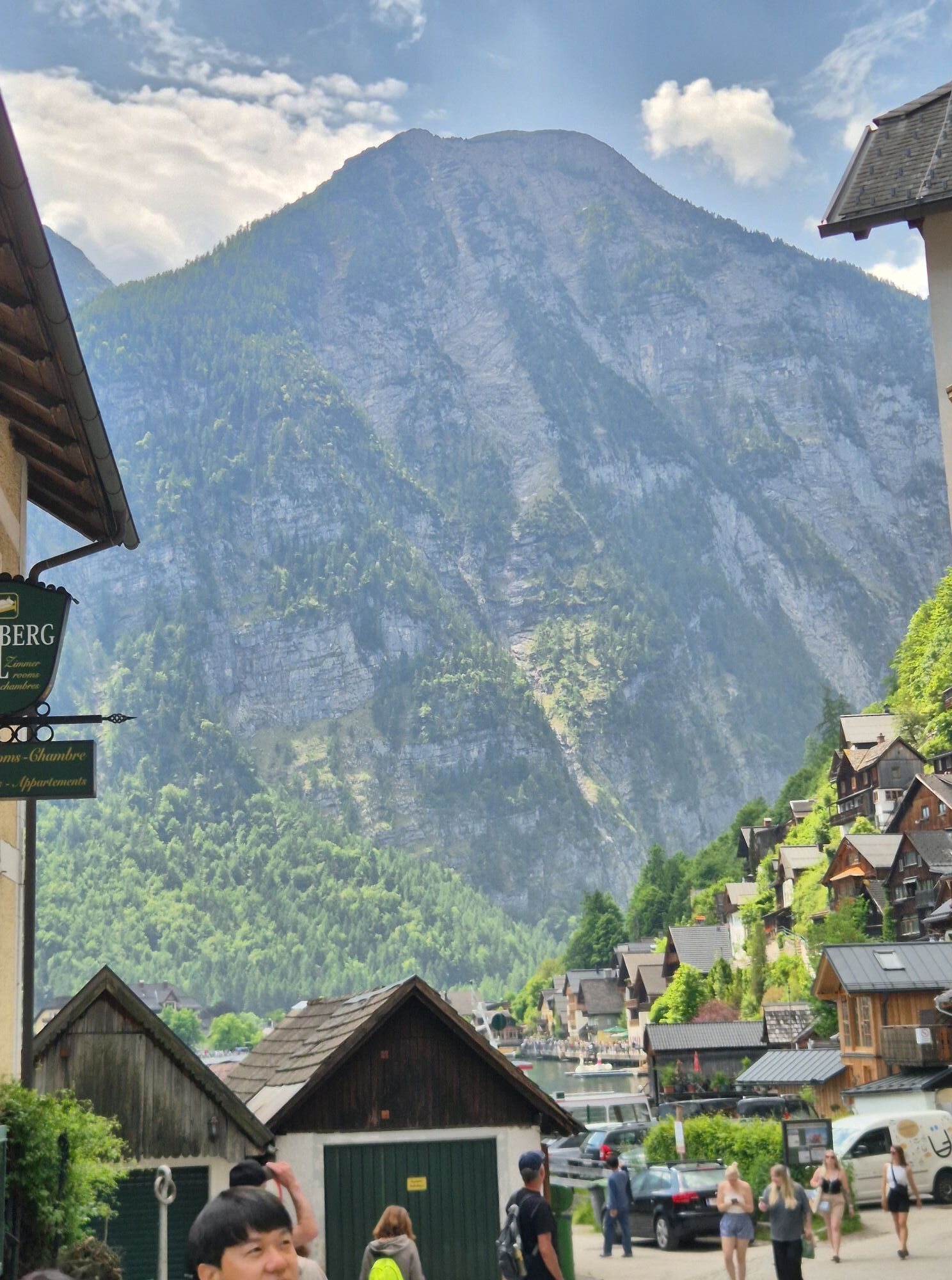
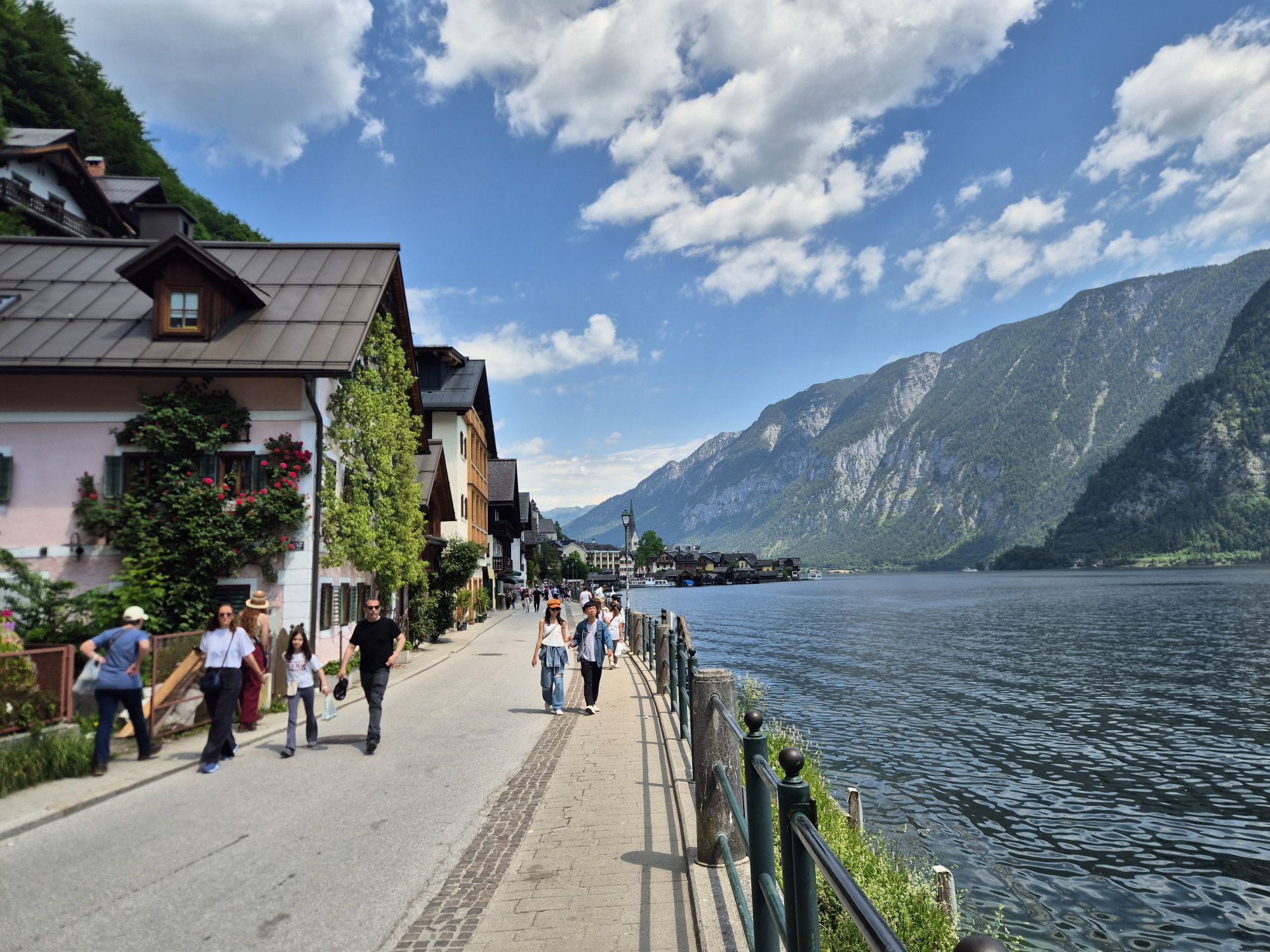
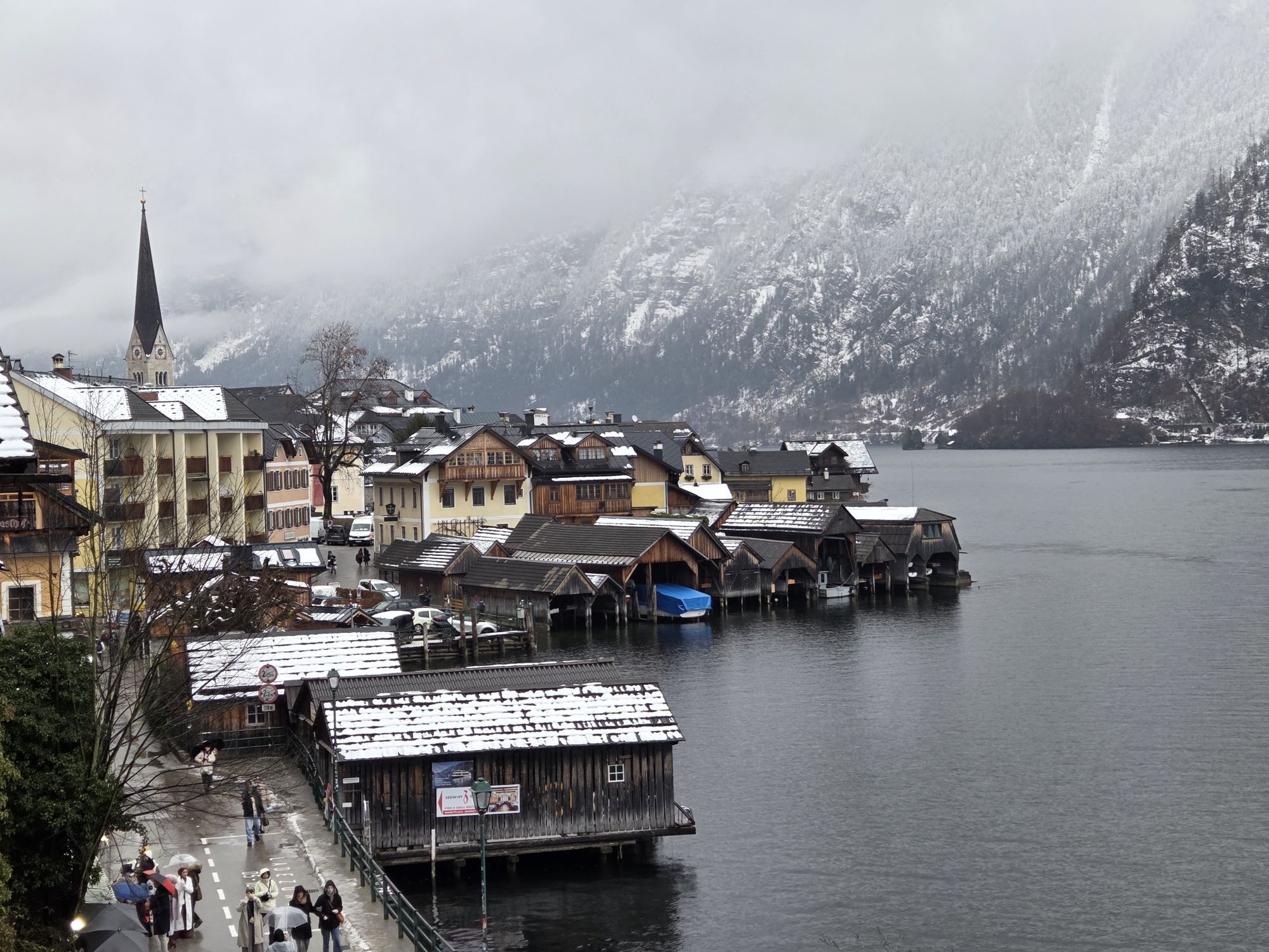
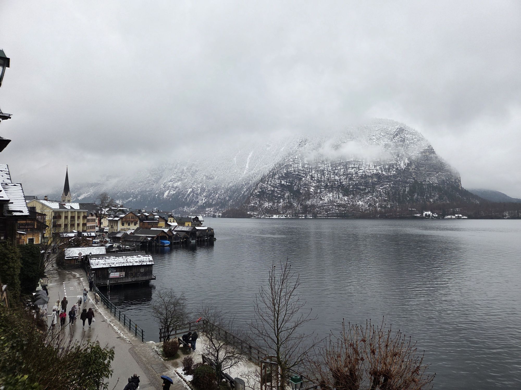
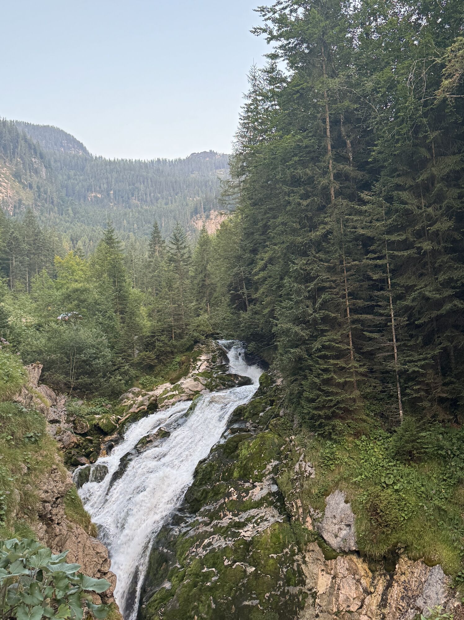
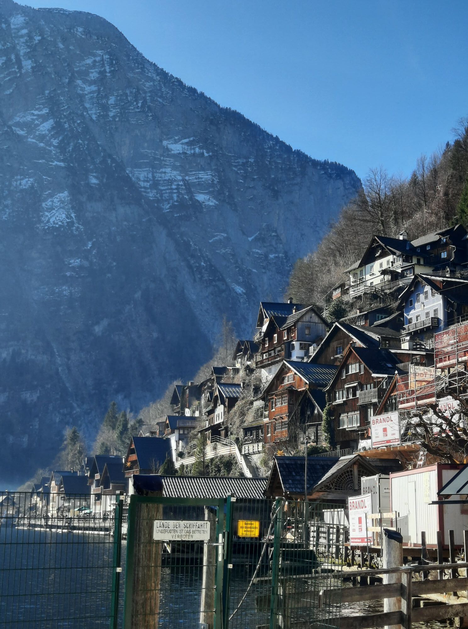
From Rudolfsturm, you finally hike down to Hallstatt on the Salzbergweg. Although the wide route is not high alpine as a sign warns, it leads in a zigzag through steep, rocky forest slopes downhill. On the way, you pass the Franz-Joseph-Stollen; further down, a detour to the left to the waterfall in the Mühlbach gorge is worth it. Below, you reach a forest road at a viewpoint, where you go left. Shortly afterwards, the Gaiswandweg leads right between avalanche protections to the cemetery of the Catholic parish church in Hallstatt (511 m). Via the church steps, you reach Gosaumühlstraße, which leads right to the ferry pier in front of the Protestant church and further to the picturesque market square. 1:00 h
For all stages you need hiking or mountain shoes with a profiled rubber sole as well as wind- and waterproof clothing.
Spare clothes for changing and a small first aid kit should also be in the backpack. How much provisions you pack depends on the number of places to eat. In any case, you should take enough to drink. Telescopic poles are especially helpful when walking downhill.
In alpine terrain, beware of rockfall hazards.
Until early summer, you may encounter steep snowfields or firn grooves there – especially when icy, there is an acute danger of falling and thus life-threatening!
Due to storm damage, forestry work, or construction measures, some sections of the path may be temporarily difficult or impossible to pass.
Cows on the alpine pasture are often curious. Due to mother cow husbandry, they develop a strong instinct to protect their calves. So move calmly on cow pastures, keep at least 20 m distance from the animals, and do not pet calves! In case of threatening behavior (scratching, stamping), slowly back away (do not turn your back). Keep dogs on a leash; they are not allowed to bark at or chase cows. In case of an attack, the leash must be released immediately.
Kindly provided by the KOMPASS publishing house and Wolfgang Heitzmann.
Further information at trail.salzkammergut.at
Note: From the Rudolfsturm you can take the Salzbergbahn down to the district of Lahn, from there in 20 minutes along the lake to the town center.
Kamery internetowe z trasy

Popularne wycieczki w okolicy
- 4,5
Ramsau am Dachstein: Steinerne Jungfrauen
Wędrówka 8,11 km - 4,8
Ramsau am Dachstein: Bergstation Dachstein-Seilbahn - Guttenberghaus - Ramsau
średniWędrówka 14,4 km - 4,3
Heilbronner Rundwanderweg
światłoWędrówka 9,04 km - 4,4
Filzmoos: Rötelstein (Rettenstein)
Wędrówka 9,50 km - 4,9
From Rußbach over the Gamsfeld
ciężkiWędrówka 11,5 km - 3,8
Ostuferwanderweg
światłoWędrówka 16,2 km - 4,5
Bad Goisern: Pötschenhöhe – Sarstein - Obertraun
Wędrówka 11,4 km - 4,8
Tour around the Gosaukamm
średniWędrówka 20,9 km - 4,7
Tor-Wanderung
ciężkiWędrówka 14,2 km - 4,7
Tour around the Lake Gosau
światłoWędrówka 4,43 km
Wędrówki i tropienie


Nie przegap ofert i inspiracji na następne wakacje
Twój adres e-mail została dodana do listy mailingowej.





