







From Rußbach over the Gamsfeld
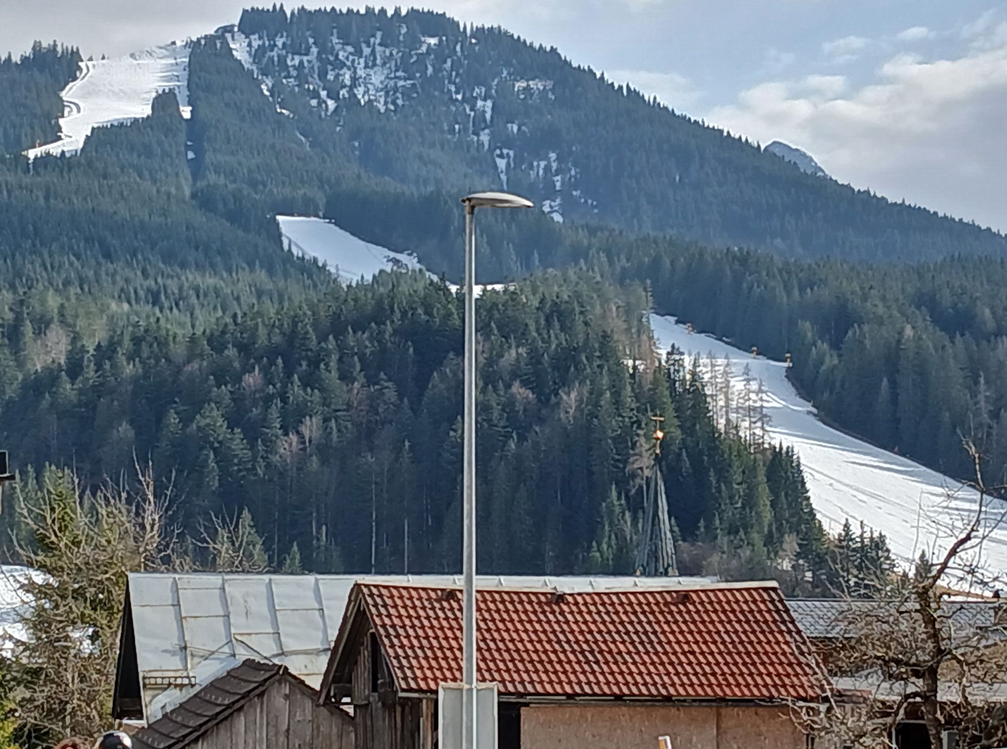
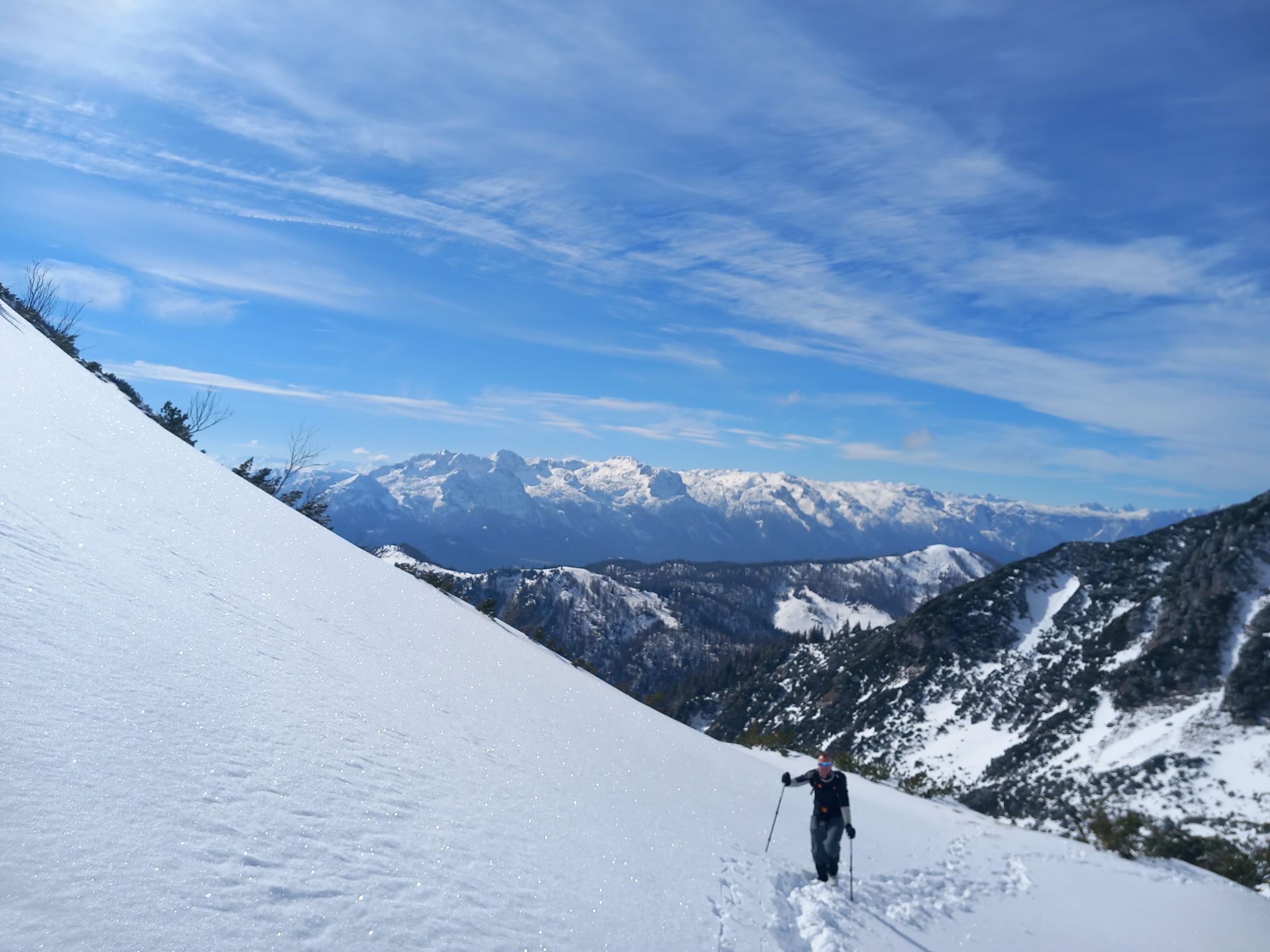
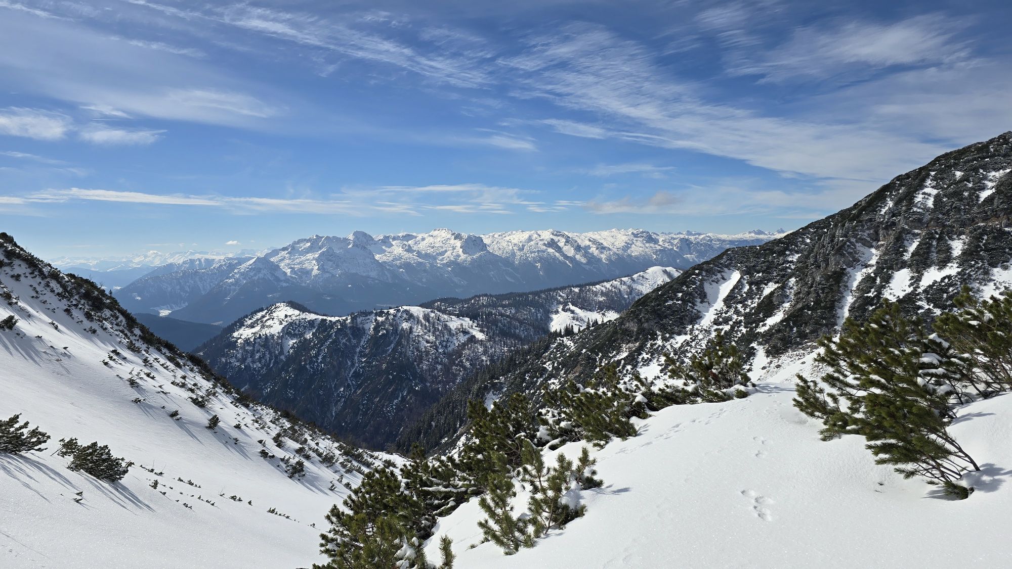
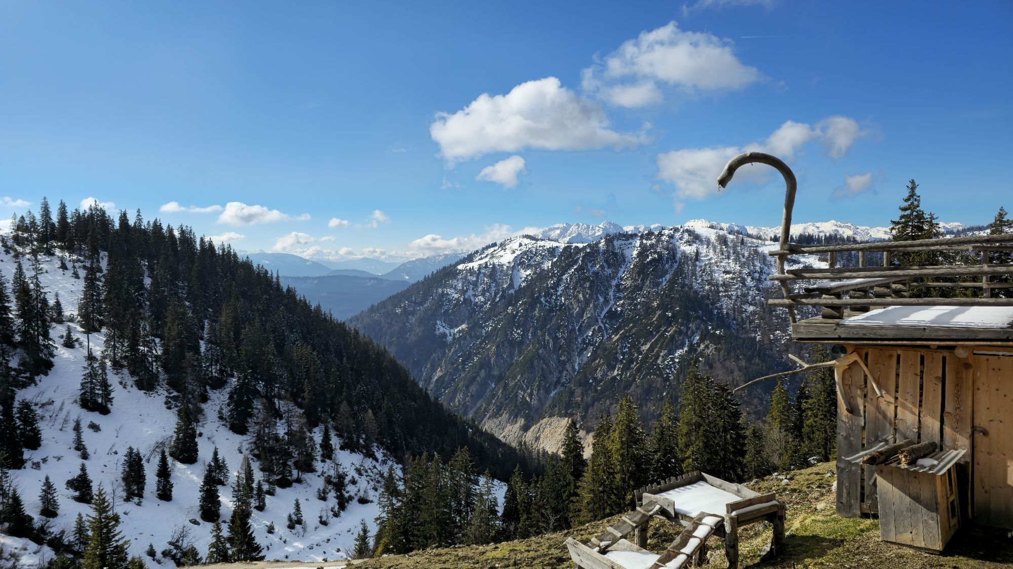
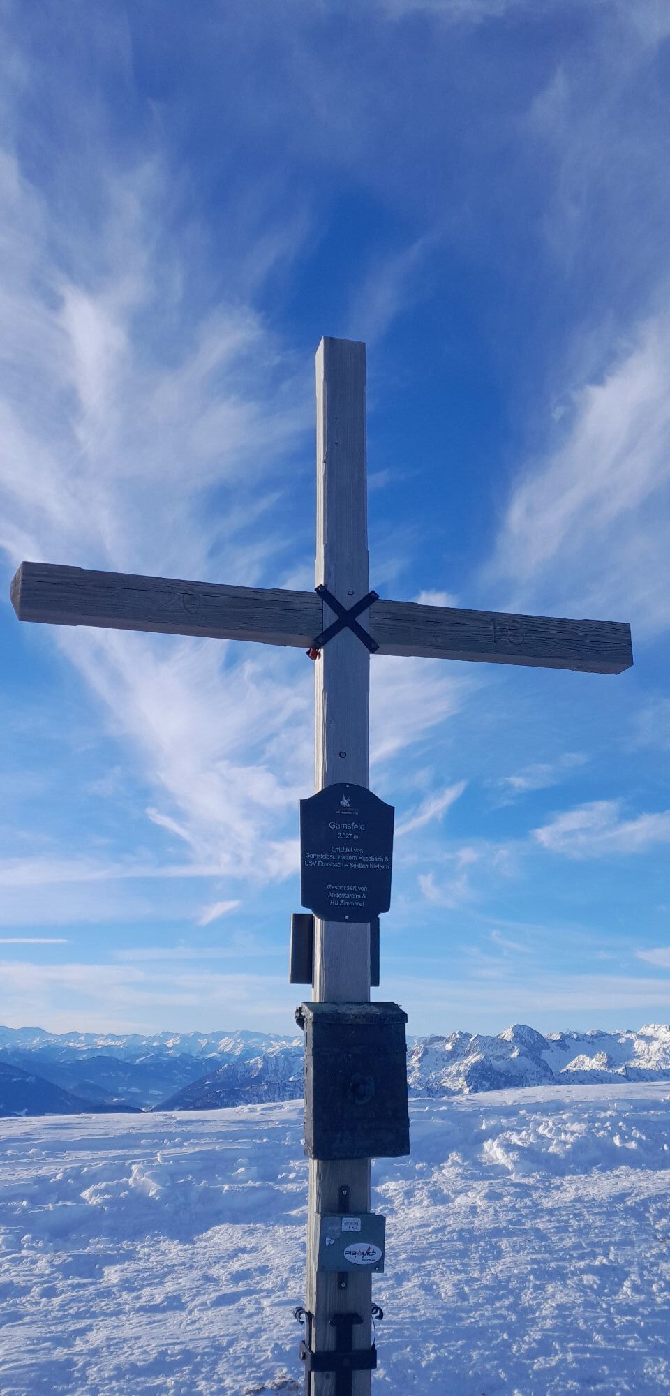
The pyramid-shaped Gamsfeld, which rises so attractively behind the village of Rußbach, offers many advantages to the hiker. The views offer a maximum of sun, views of the opposite Dachstein, and perhaps...
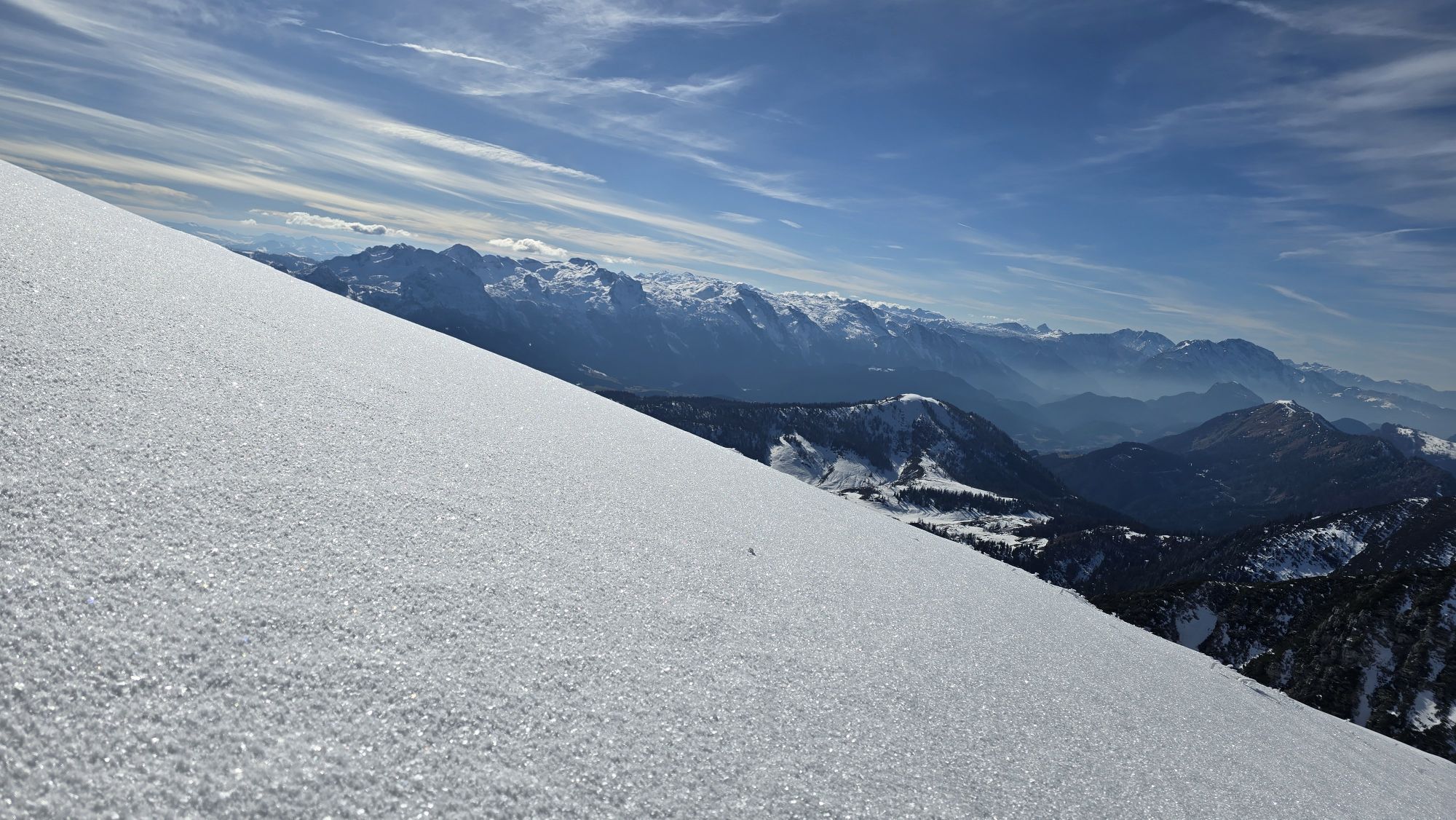
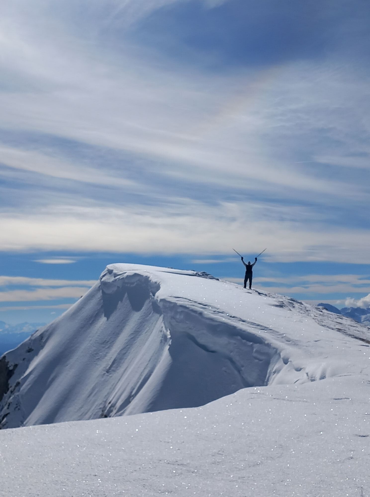
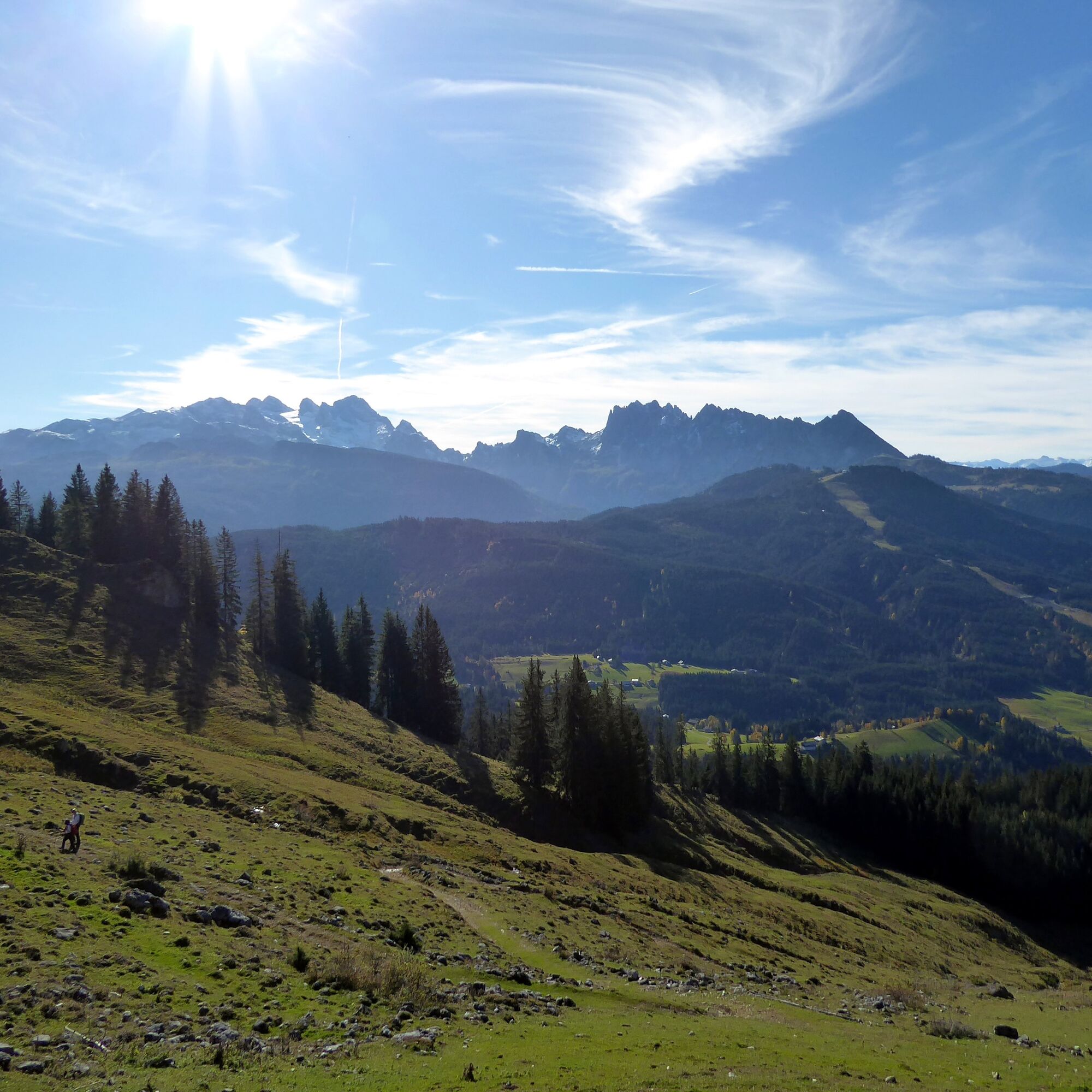
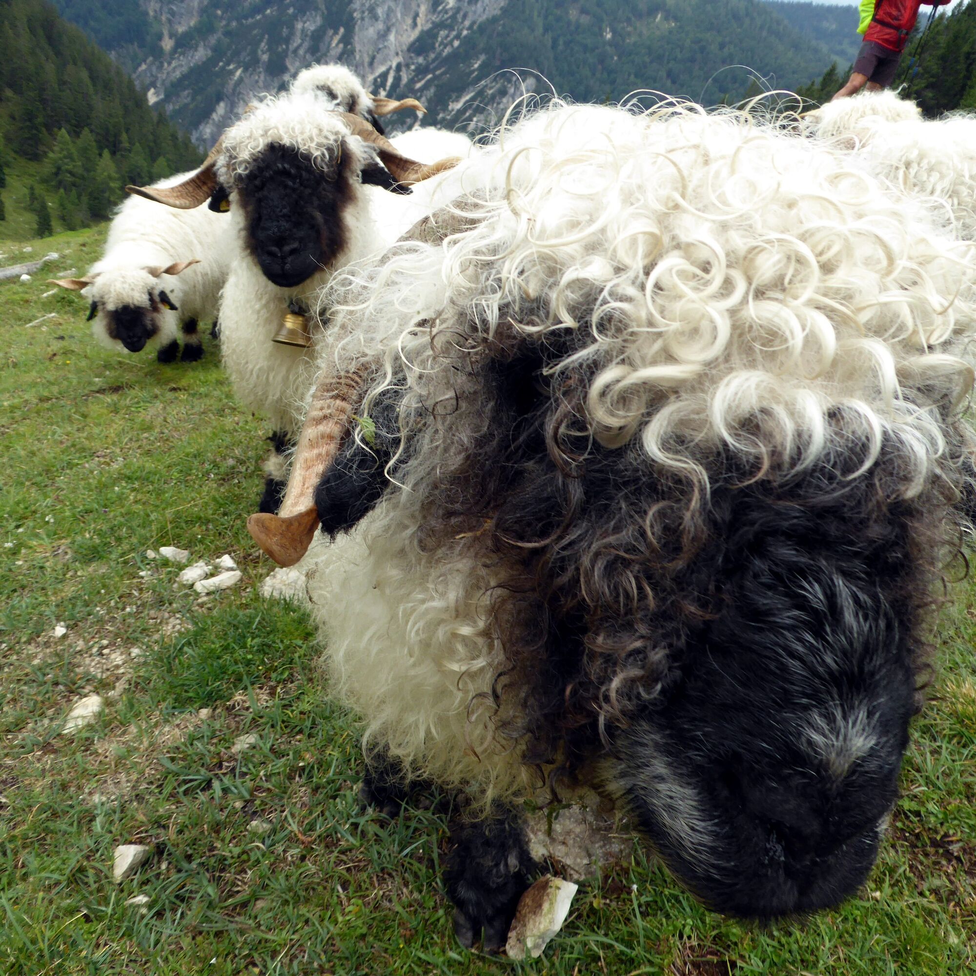
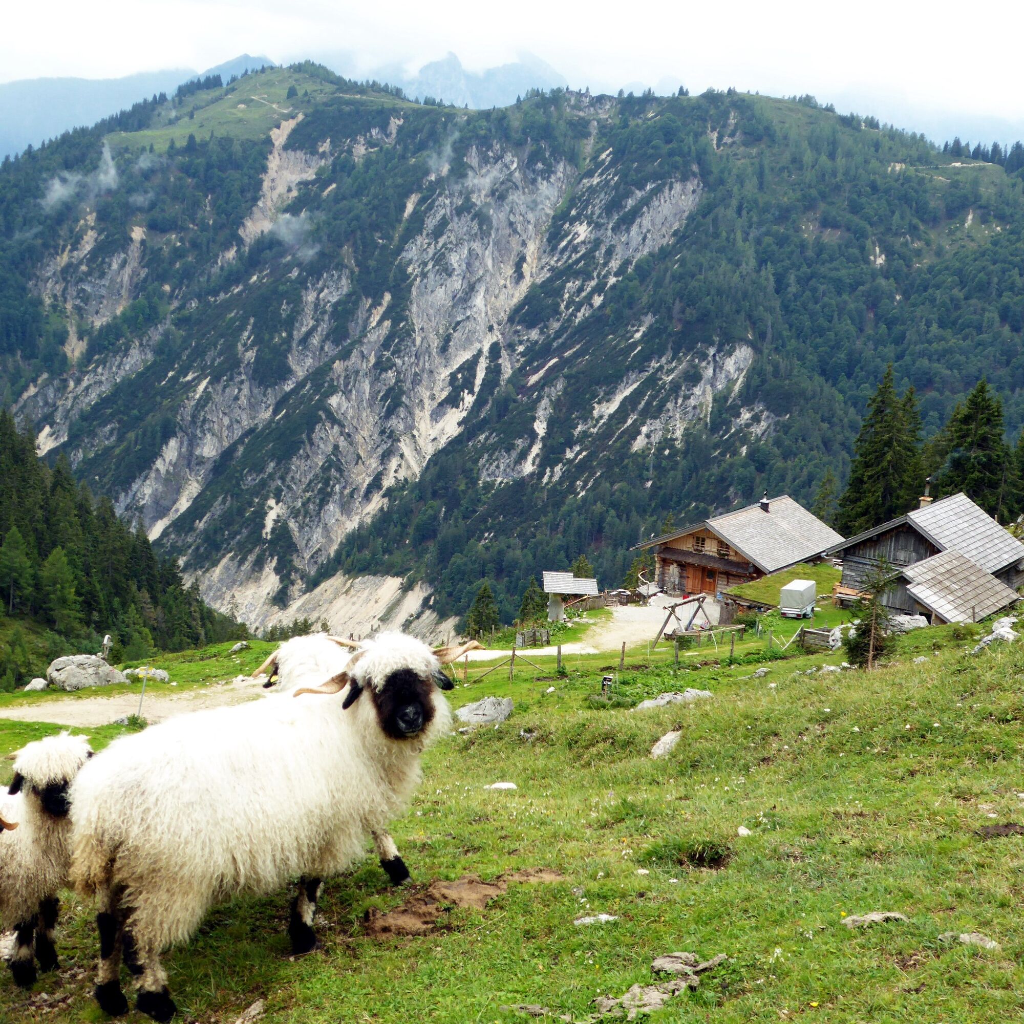
The pyramid-shaped Gamsfeld, which rises so attractively behind the village of Rußbach, offers many advantages to the hiker. The views offer a maximum of sun, views of the opposite Dachstein, and perhaps also of the namesake chamois. These alpine climbers find plenty of food on the flattened summit slopes. For mountaineers, this last part of the long ascent, unlike usual, offers a comfortable phase at the end. After the steep pine zone, there is now plenty of time to look around and enjoy. Additionally, the view extends northward and suddenly such impressive features as the Schafberg appear. Even the church tower of St. Wolfgang is now well visible. The descent through the Angerkar gets steeper again, but the Angerkaralm (1423 m) at the exit awaits as a wonderful place to stop. The alpine farmer dedicates himself with devotion to raising the rare Valais Blacknose sheep, which are not only charming in appearance but also considered especially gentle with children.

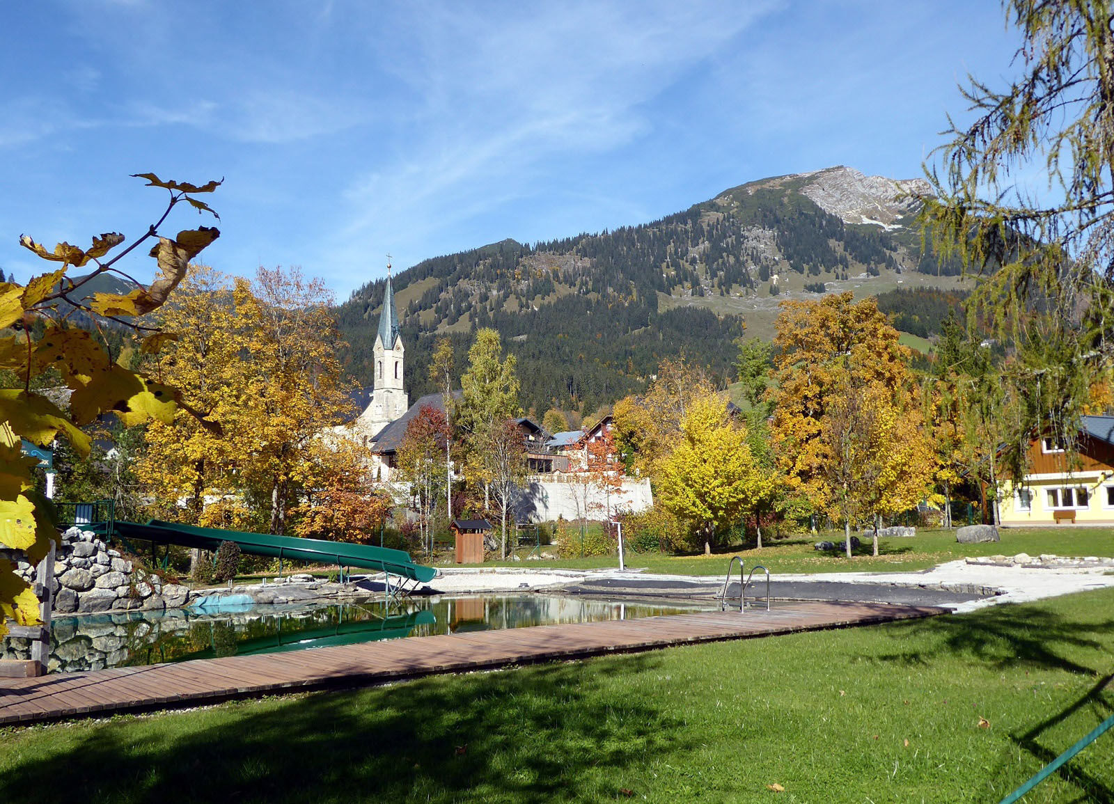
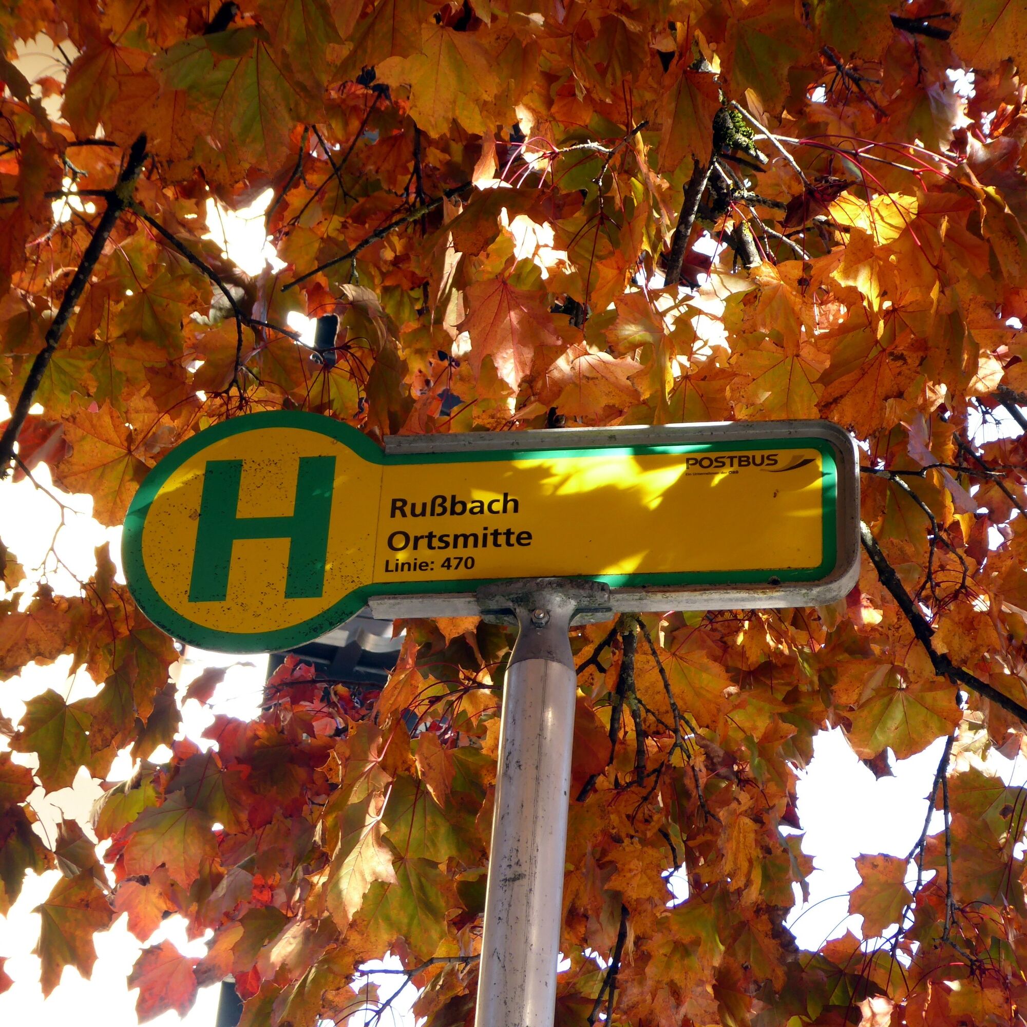
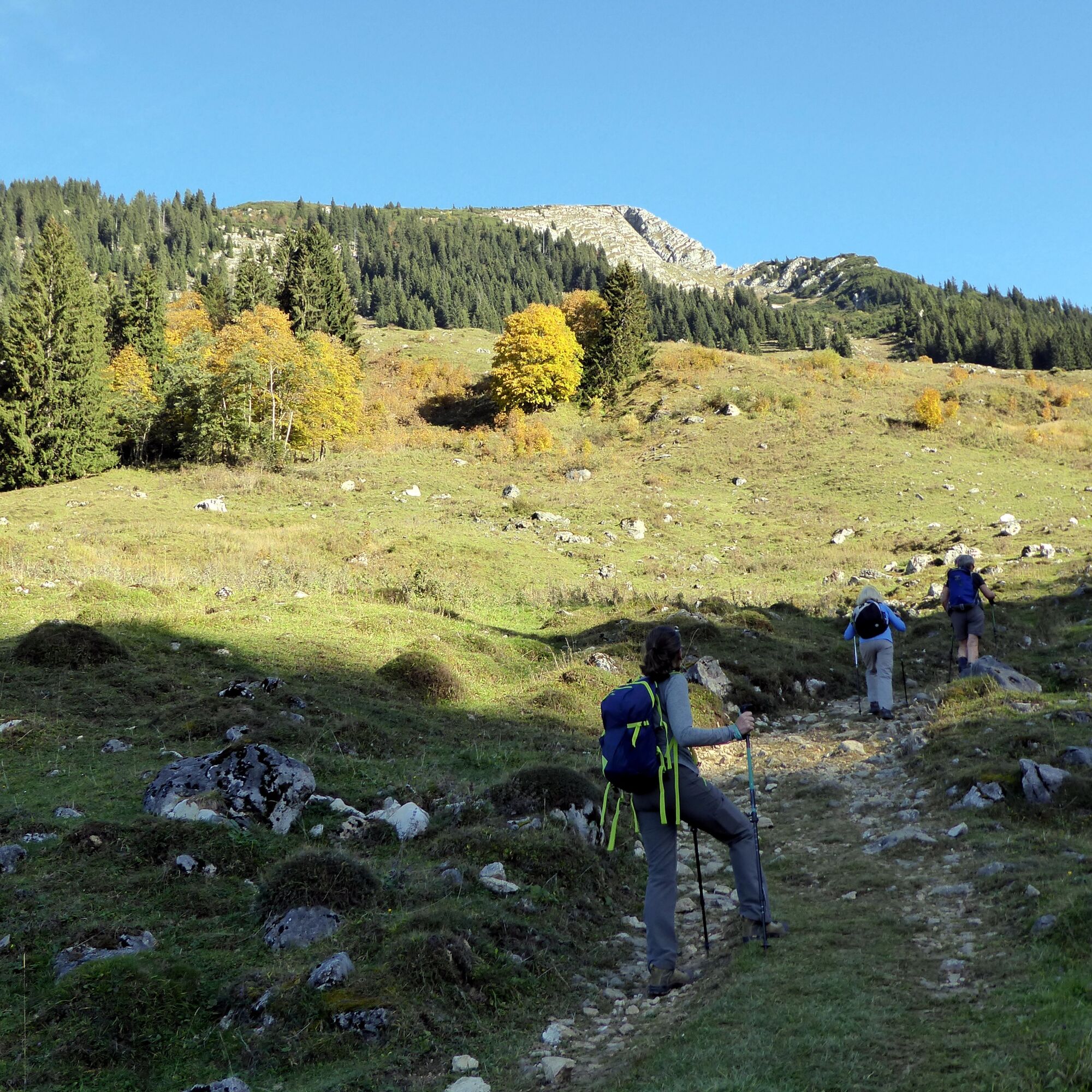
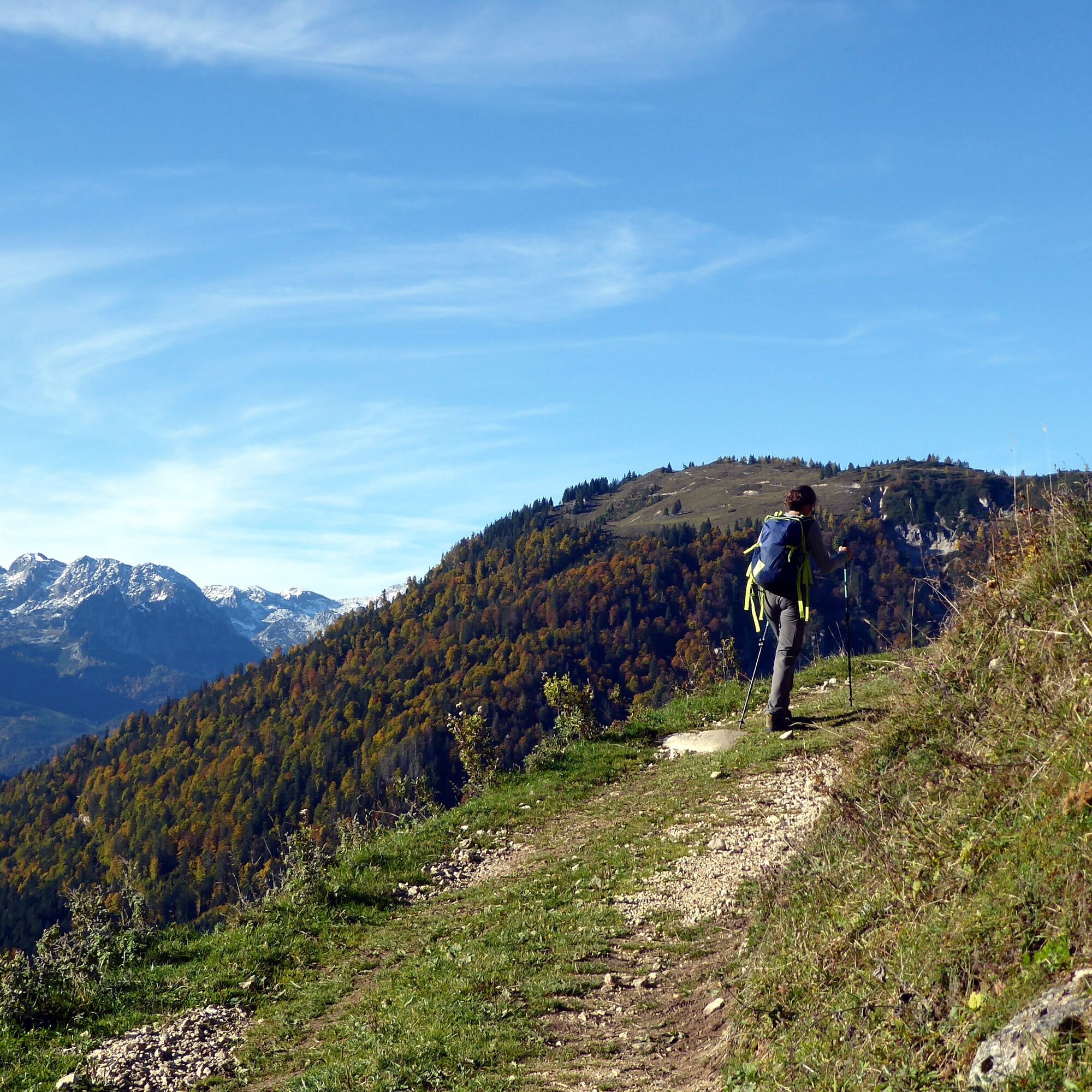

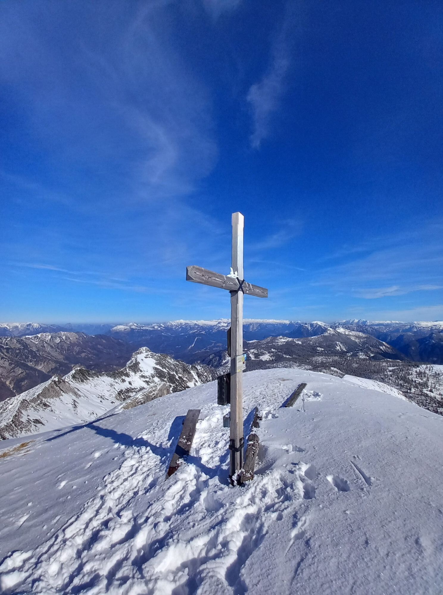
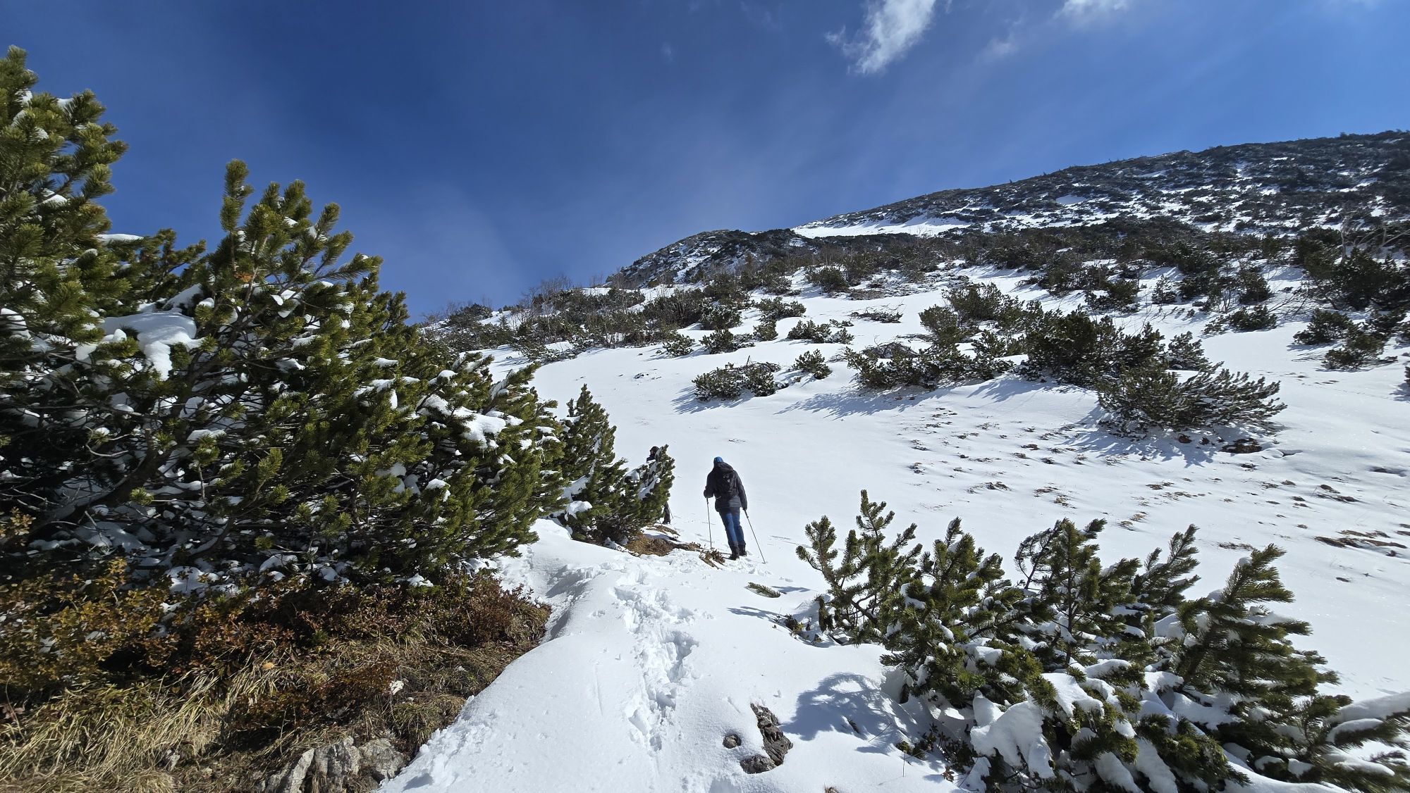
The starting point is the bus stop in the town center. Passing the municipal office and tourism office, the marked path 35 to the Gamsfeld branches off to the left and follows the access road for 600 meters to a last parking lot. The route 35 (Gamsfeld via Traunwand) then runs to the right and follows the Fallenegg service road for half a kilometer before the path turns left into the forest just before the bridge. After a nearly half-hour forest section, beautiful alpine meadows open up, over which an easily ascending alpine path leads towards Traunwandalm (1338 m). Just before the alpine pasture, the marked trail to the Gamsfeld branches off to the right. The terrain and thus the path become increasingly steep, only ending the pine-covered section 500 vertical meters further above, and the flat Gamsfeld lives up to its name. The previously purely south-facing path turns on the moderately steep grassy terrain to the northeast and reaches the scenic summit after almost three hours of walking.
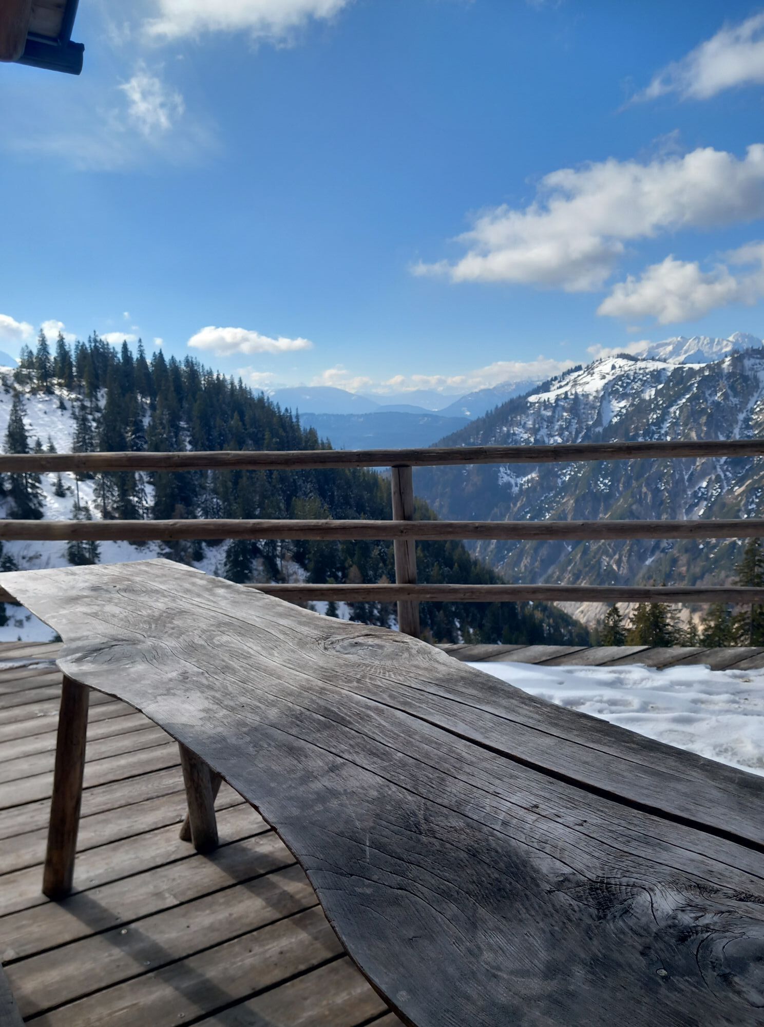
The descent goes back 300 meters along the flat ridge but then branches right towards "Angerkaralm, Rinnbergalm". Now you need to pay closer attention to the path, which winds down the steep cirque through many switchbacks to the managed Angerkaralm (1423 m). The loop closes via the direction "Rußbach, Mitterweg". First still somewhat steep and then gently descending after joining the one-kilometer-long Mitterweg until the parking lot. For the short return route to the town center bus stop, there is a very pleasant variant branching off to the left a little further down.
Good shoe profile, hiking poles are advisable.
Usual first aid equipment in the backpack. Plan enough time and drinking supplies.
A 10, Golling exit. Take B 162 and B 166 via Abtenau to Rußbach. In the center, turn left past the church and municipal office. After 600 m, end of the road, parking at the Rinnbach (2.-€ fee).
From "Bahnhof Golling-Abtenau" take bus 470 to Rußbach town center.
Timetable information and download: Online at www.salzburg-verkehr.at or on your smartphone via the free Salzburg Verkehr app for Android and iOS.
Paid parking in Rußbach at the Rinnbach.
Mag. Christian Heugl
5400 Hallein
cheugl@a1.net
Photo credit: Christian Heugl
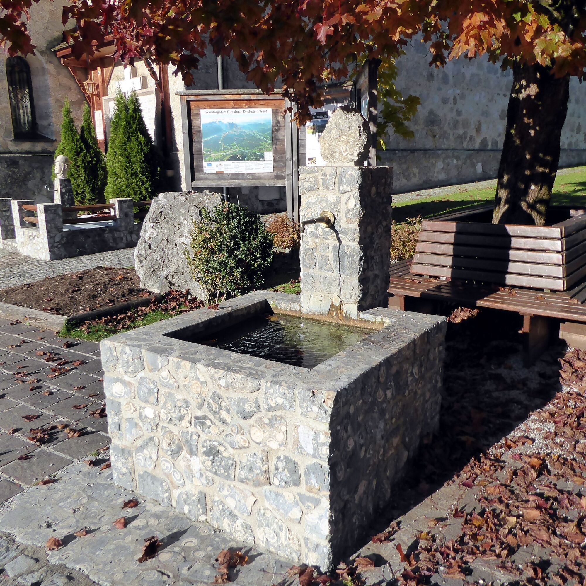
If there is still enough time, a loop around the town to the water park and the Grenadier factory is worth it. A particular gem is also the snail fountain made from dozens of fossils millions of years old, which were found nearby.

Kamery internetowe z trasy
Uzyskaj wgląd
Zawsze na żywo z ponad 9 500 kamer internetowych. bergfex Jako użytkownik Pro, możesz teraz zobaczyć odpowiednie kamery internetowe dla wielu wycieczek w aplikacji wycieczki od. Pozwala to na bezpośredni podgląd aktualnych warunków.
Aktywności na trasie
-

Rußbachsaag, Salzburg/Österreich
01.08.2026 – Wędrówka -

Rußbach am Paß Gschütt, Salzburg/Österreich
25.07.2026 – Wędrówka -
Rußbach am Paß Gschütt, Salzburg/Österreich
04.07.2026 – Wędrówka -

Rußbach am Paß Gschütt, Salzburg/Österreich
04.07.2026 – Wędrówka -

Rußbach am Paß Gschütt, Salzburg/Austria
26.06.2026 – Wędrówka -
Rußbach am Paß Gschütt, Salzburg/Österreich
26.06.2026 – Wędrówka -

Gamsfeld
01.05.2026 – Wycieczki górskie -

Rußbach am Paß Gschütt, Salzburg/Österreich
01.05.2026 – Wędrówka -
Gamsfeld
20.12.2025 – Wycieczki górskie -
Rußbachsaag, Salzburg/Austria
20.09.2025 – Wędrówka
Popularne wycieczki w okolicy
-
4,7
Tour around the Lake Gosau
światłoWędrówka 4,43 km -
4,5
Adamekhütte vom Vorderen Gosausee
średniWędrówka 23,2 km -
4,9
Schwarzeneckalm-Bleckwand
światłoWędrówka 5,94 km -
4,8
Eisenaualm
średniMountainbike 37 km -
4,3
Abtenau: Postalm circular route 3 - Wiesleralm and Postalm hut
średniWędrówka 9,09 km -
4,7
Hütteneck ski & snowshoe tour
średniRakieta do chodzenia po śniegu 3,88 km -
4,1
Illinger Alm-Runde
średniWędrówka 9,89 km -
4,8
Gennerhorn über Lämmerbach
średniWędrówka 10,2 km -
4,7
Drei Seen Blick
światłoE-MTB 43,9 km -
4,7
Bad Goisern, Mein-Land-Dein-Land und Leadership (C)
średniVia ferrata 5,46 km
Wędrówki i tropienie


Nie przegap ofert i inspiracji na następne wakacje
Twój adres e-mail została dodana do listy mailingowej.





