







1st stage of the Sebaldus Radpilgertour to Maria Neustift - longer variant

Poziom trudności: 2
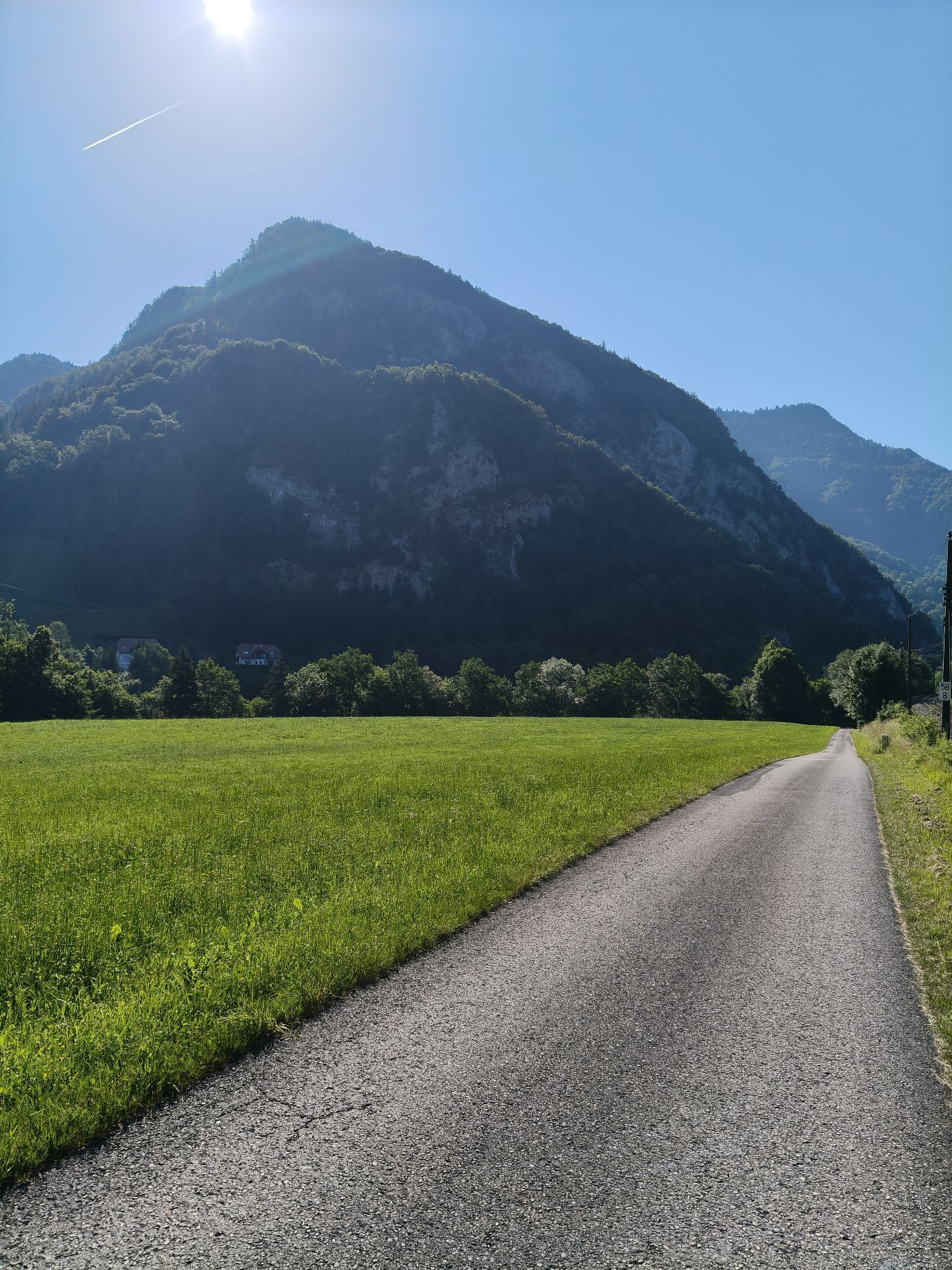
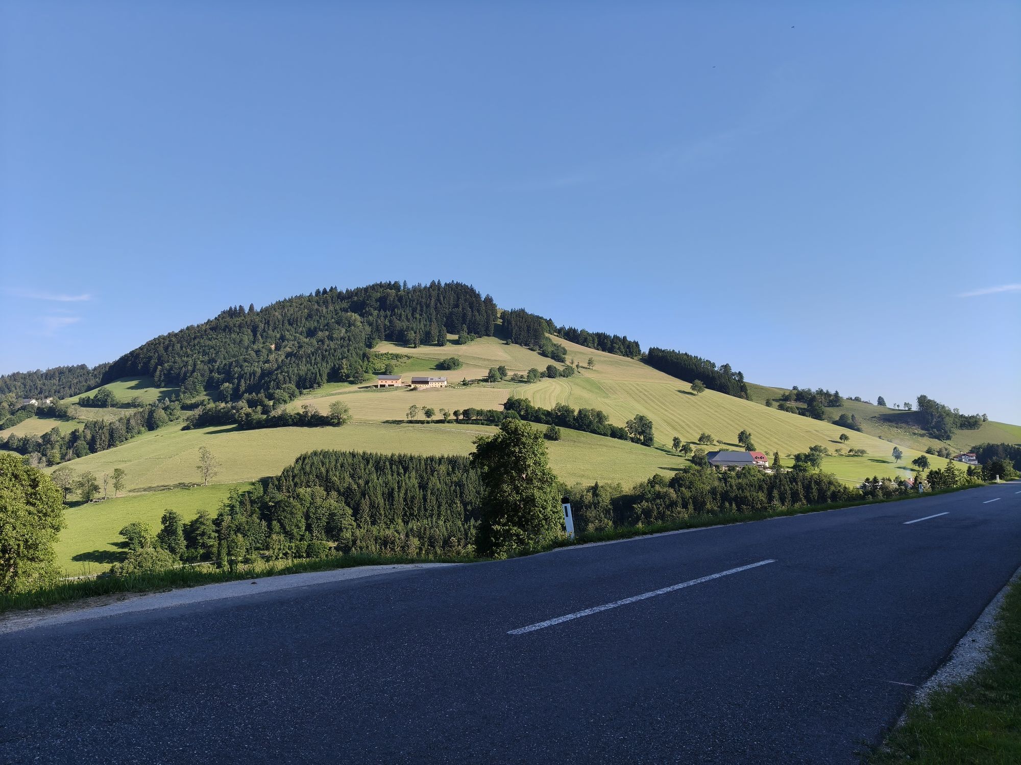
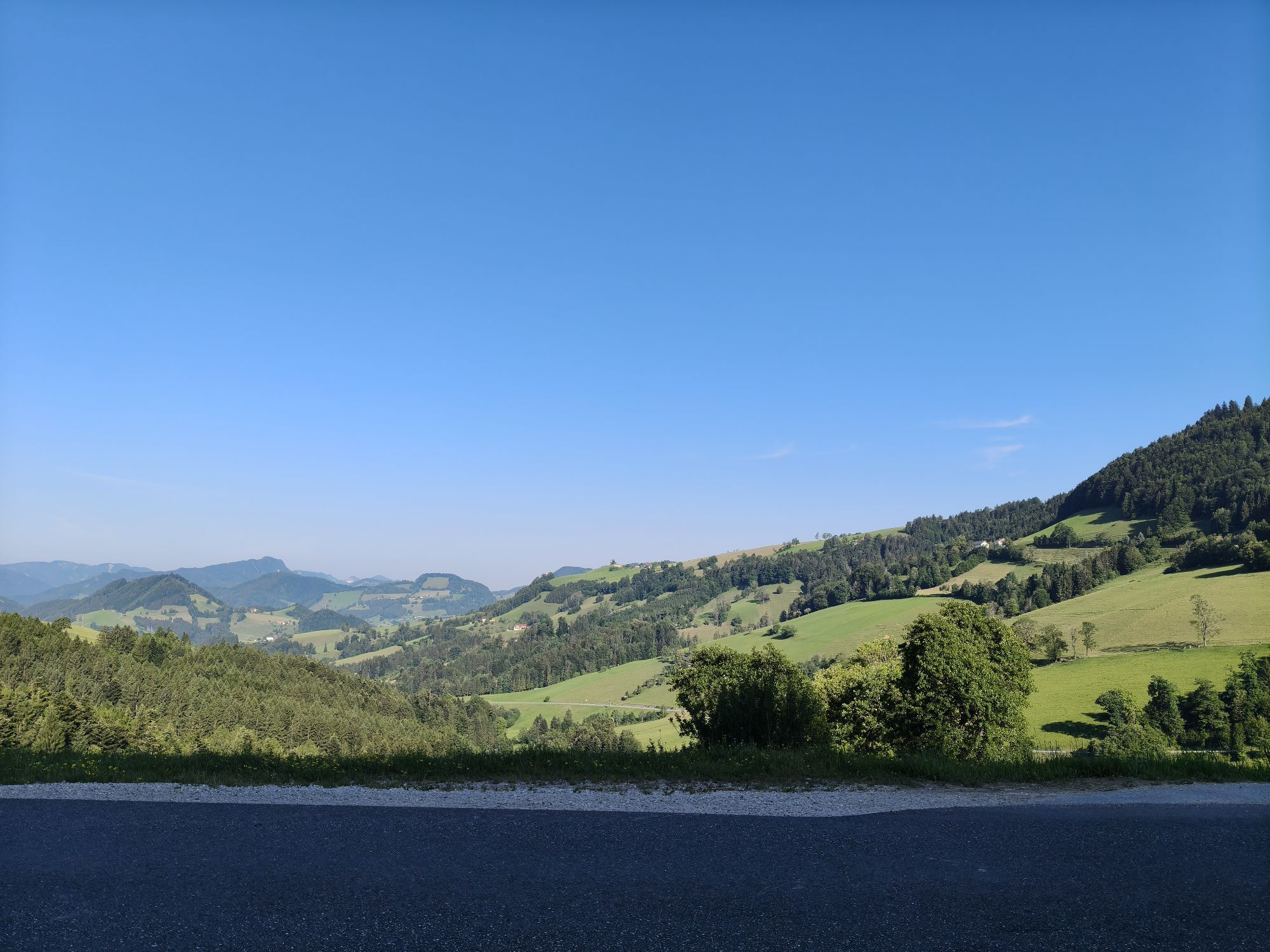
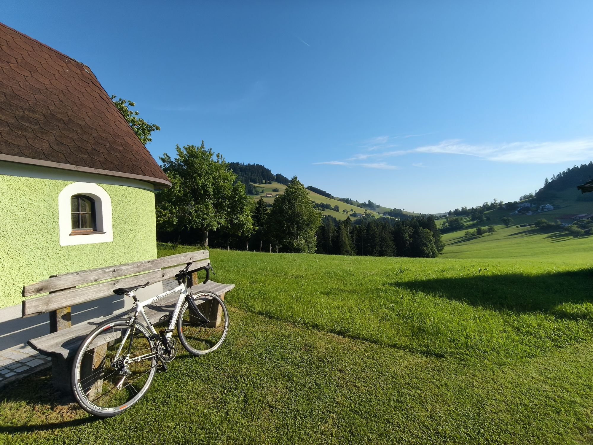



The route on Outdooractive - registration on the platform required
The route on Komoot - registration on the platform required
The route on Bergex - no registration on the platform required
The route on sebaldustour.at...
The route on Outdooractive - registration on the platform required
The route on Komoot - registration on the platform required
The route on Bergex - no registration on the platform required
The route on sebaldustour.at - no registration on the platform required



One of the most popular bike routes in this area.
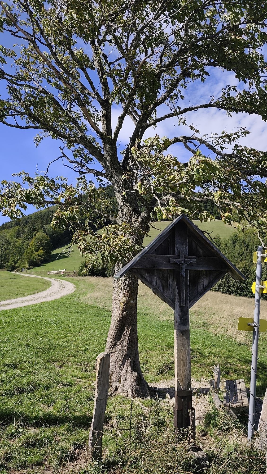
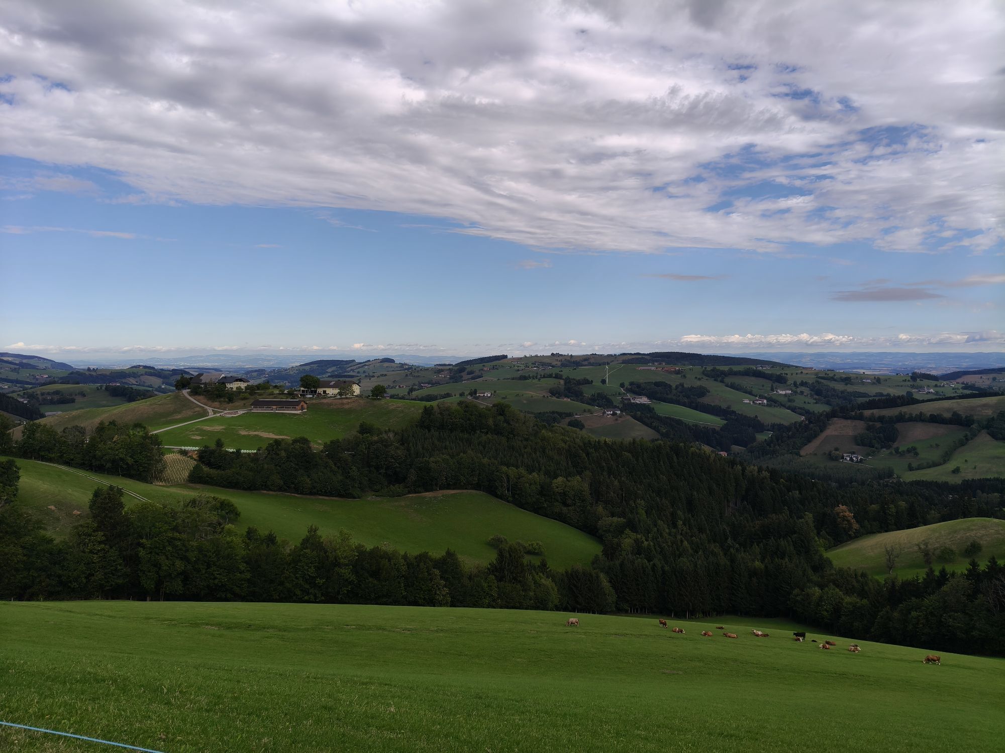
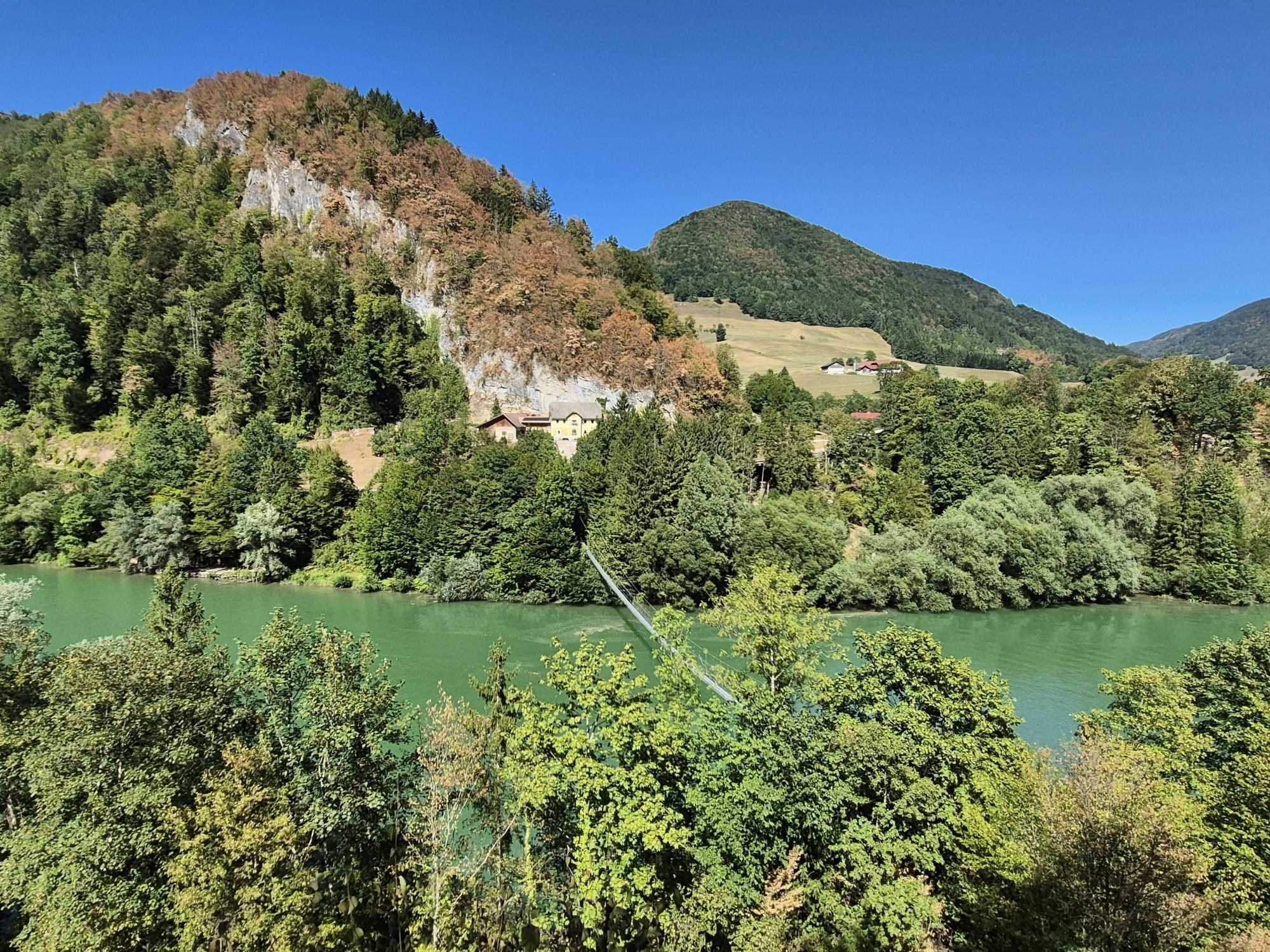
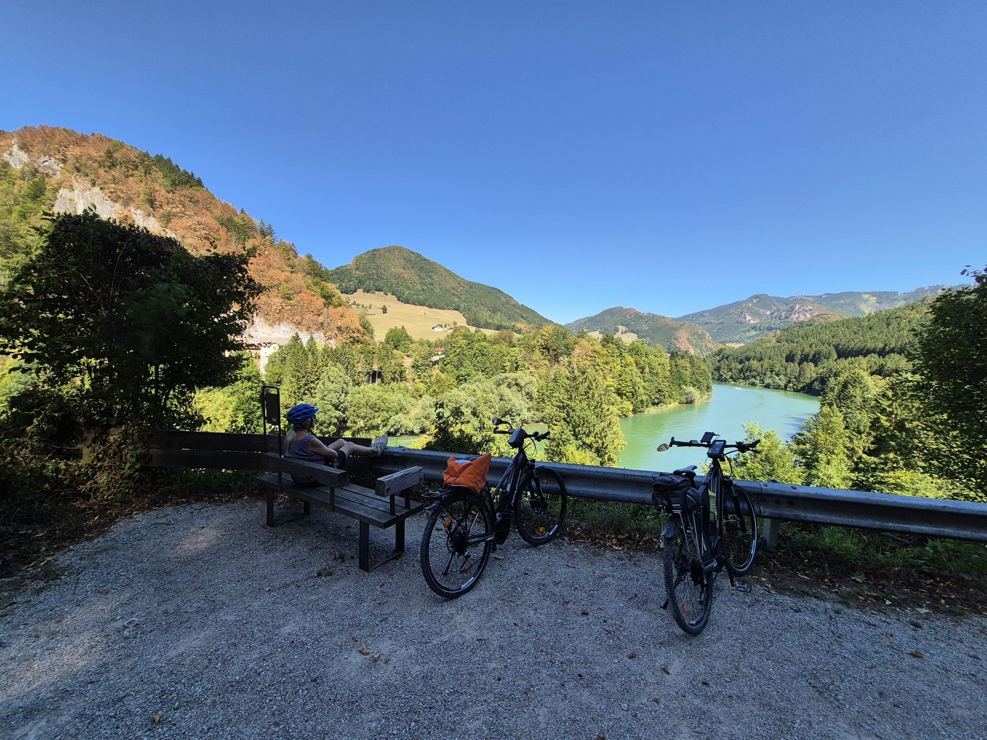
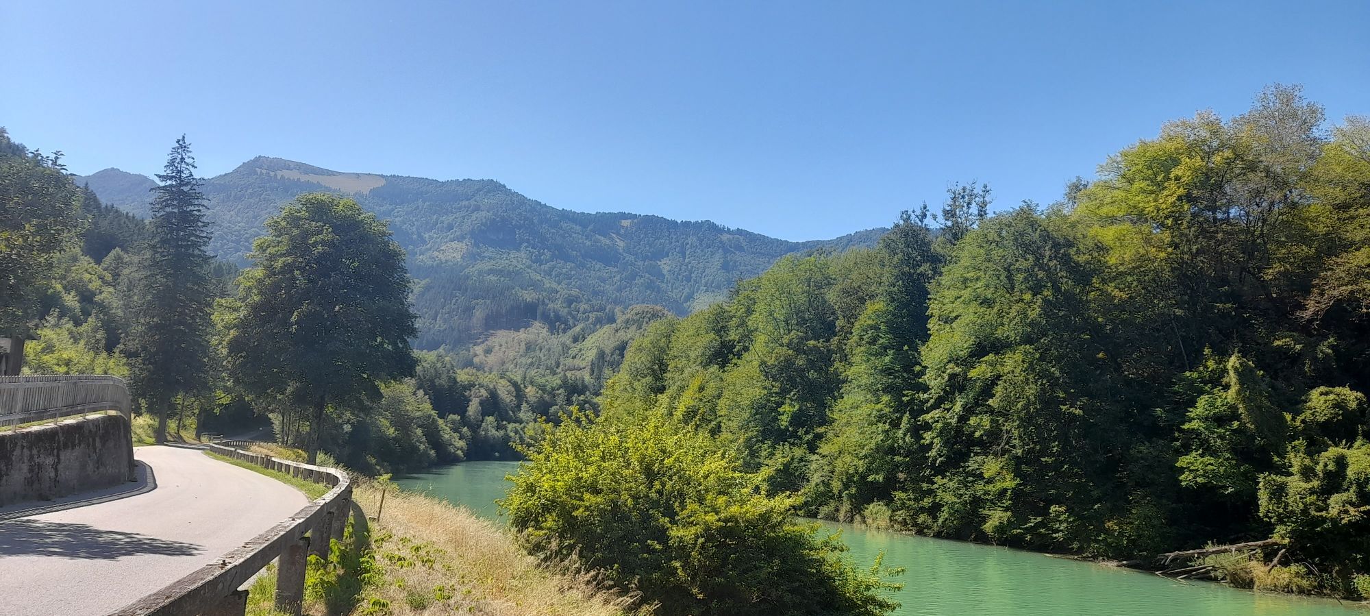
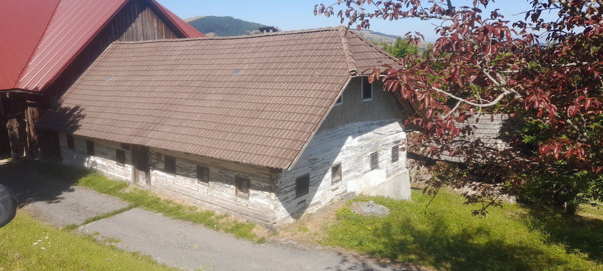
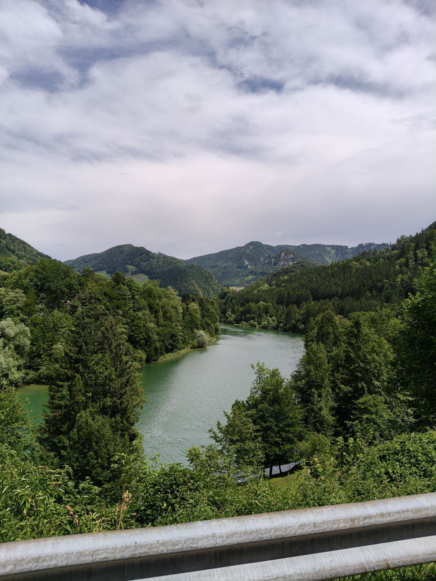
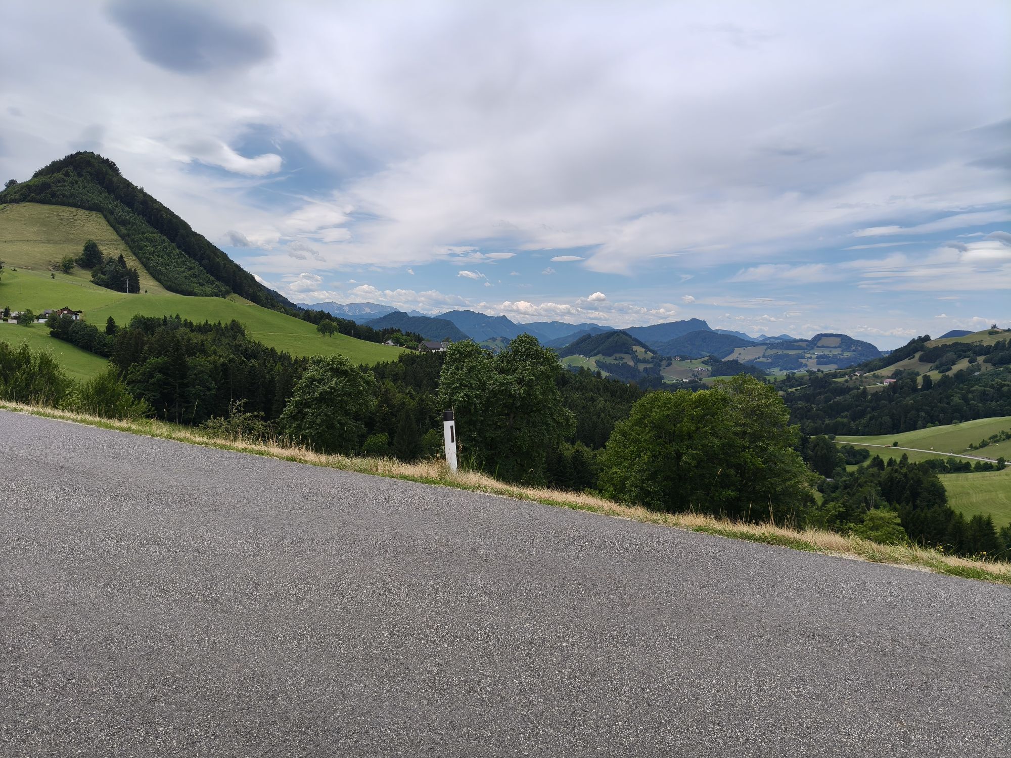
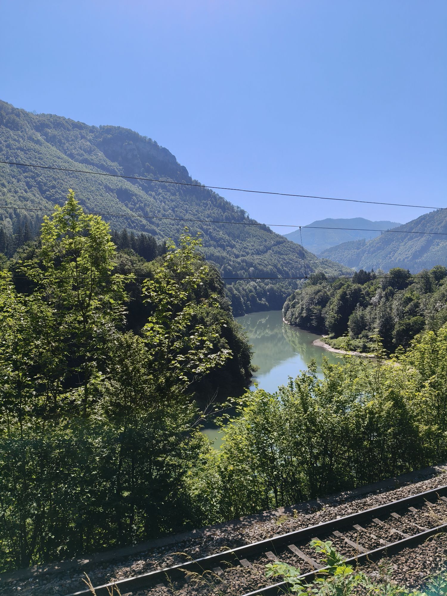
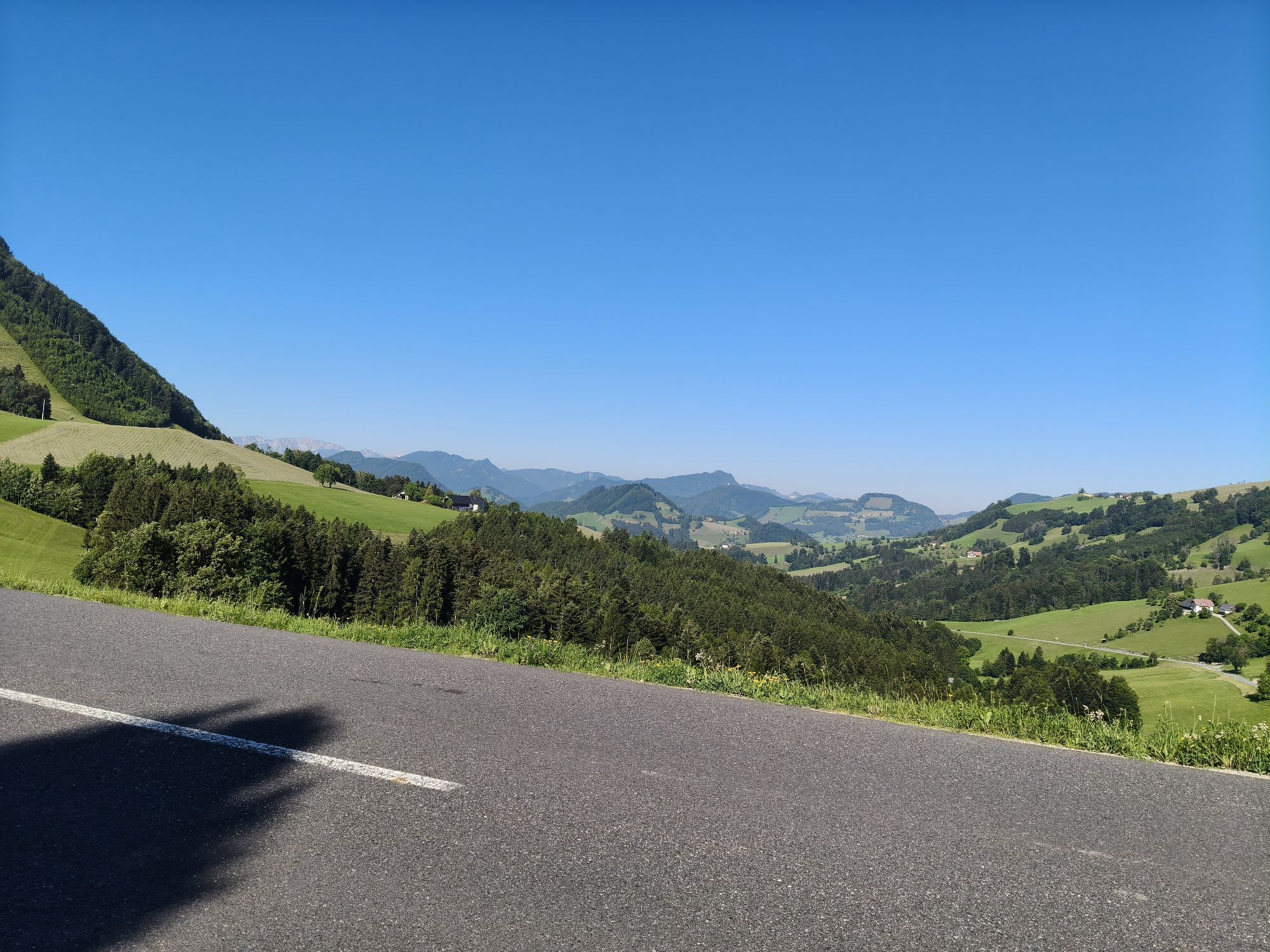
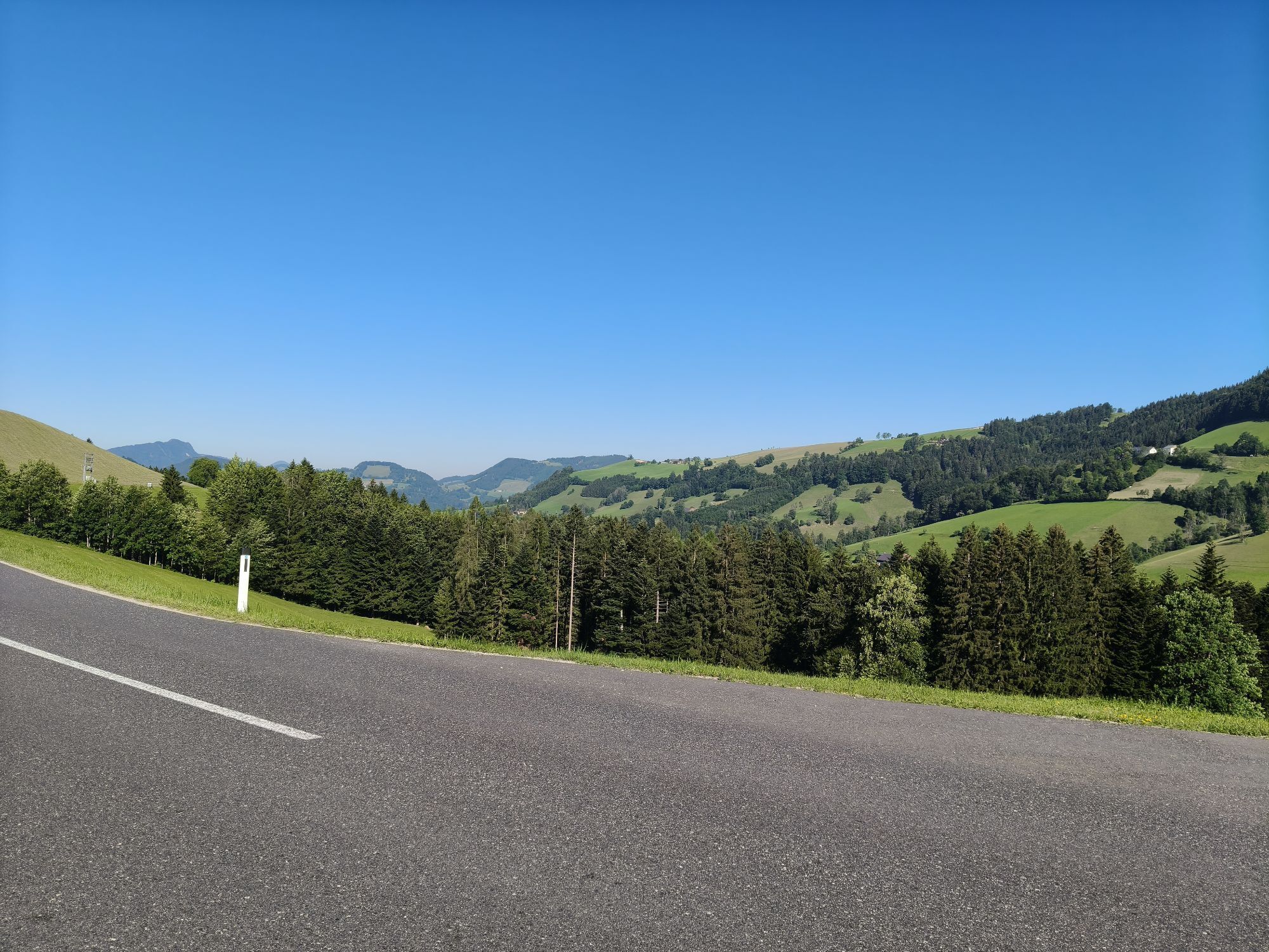
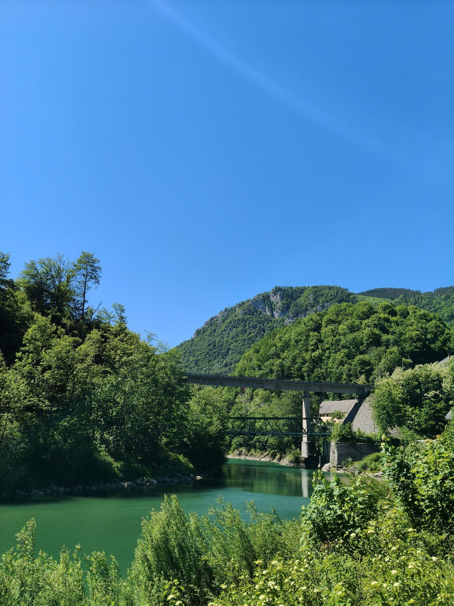
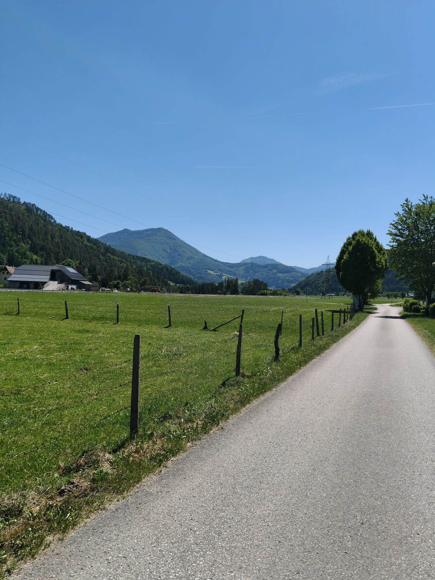
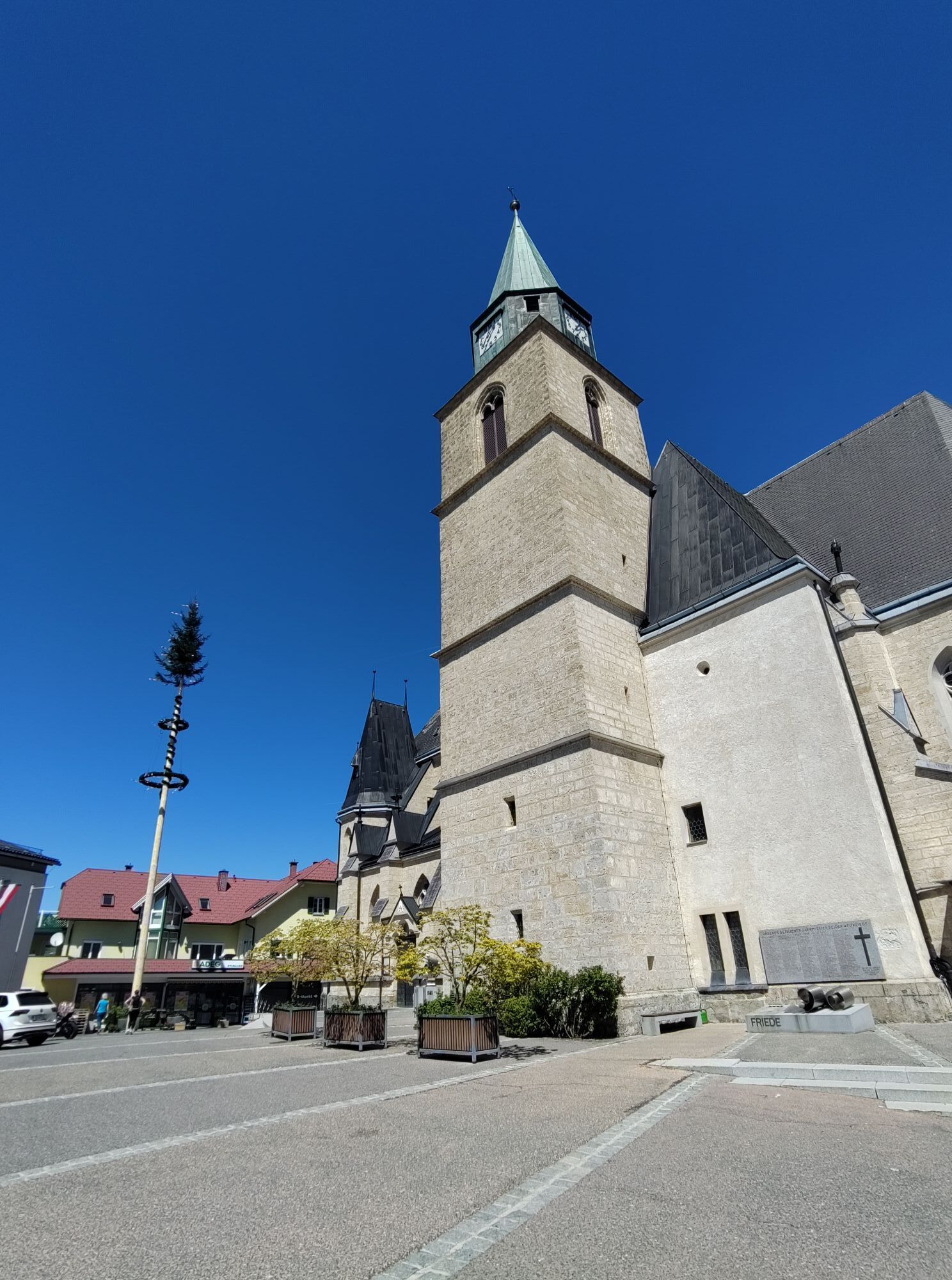
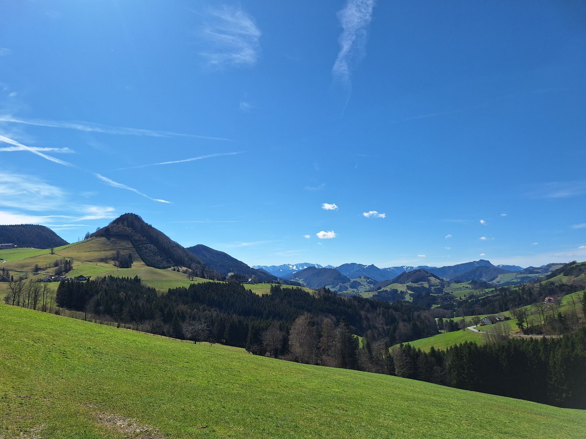
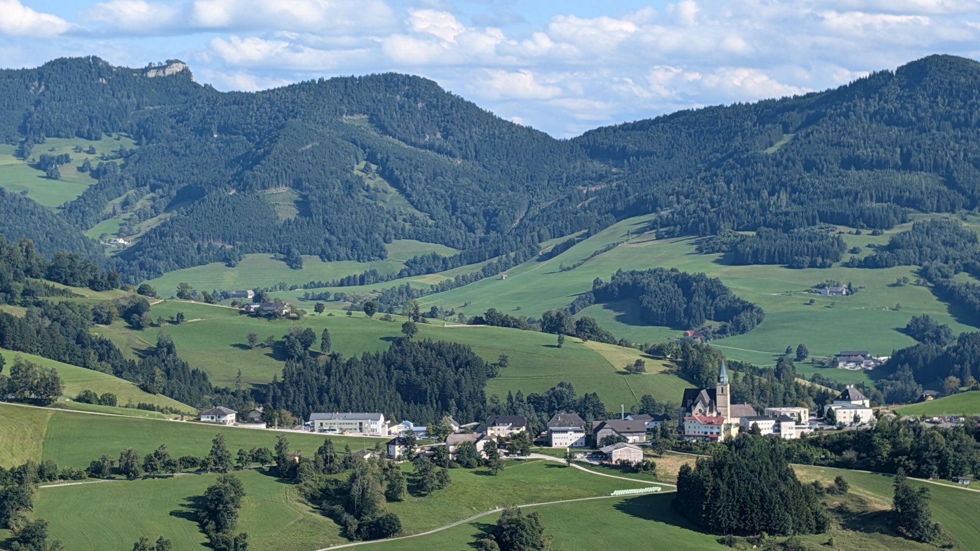
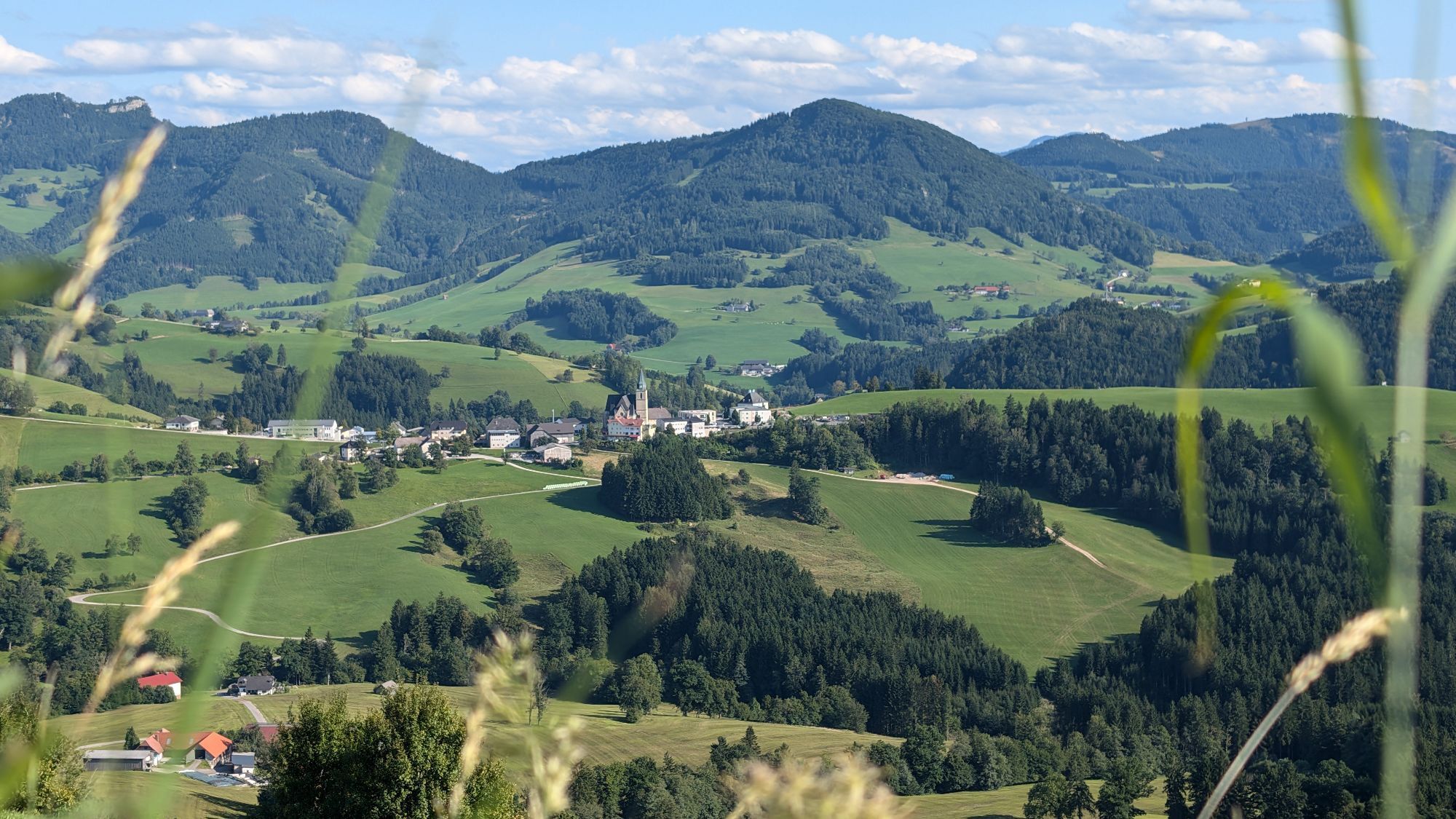
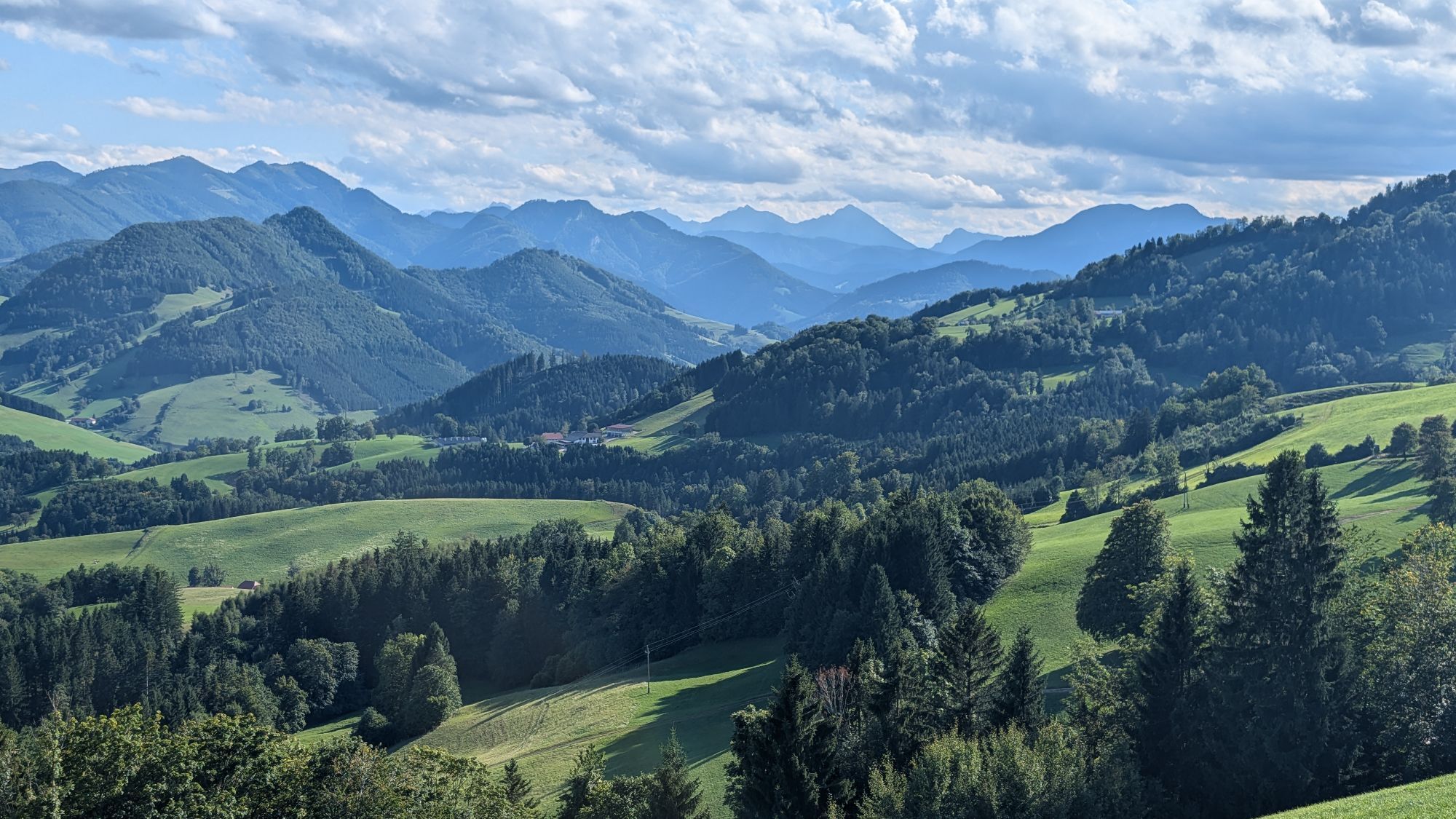
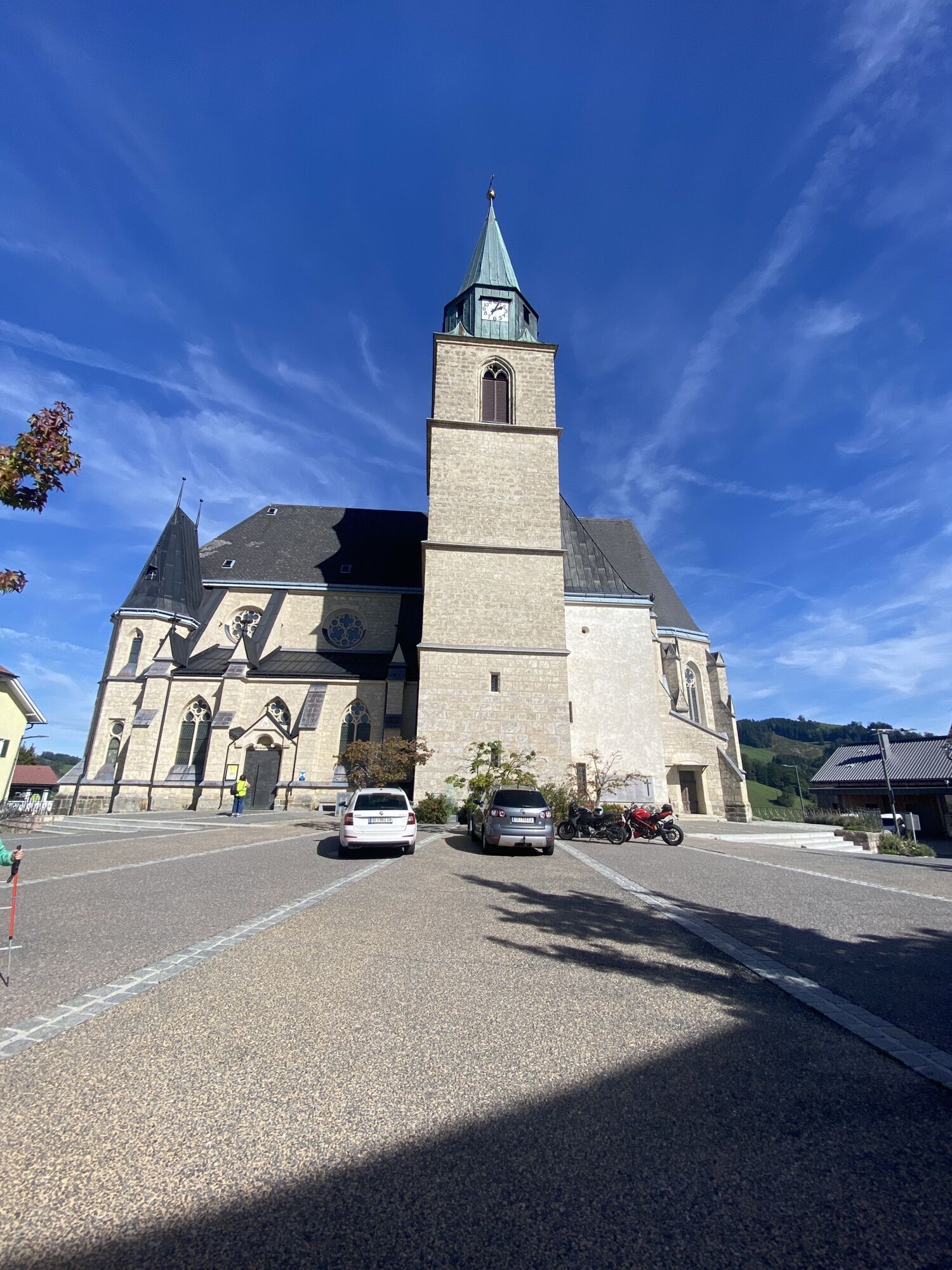
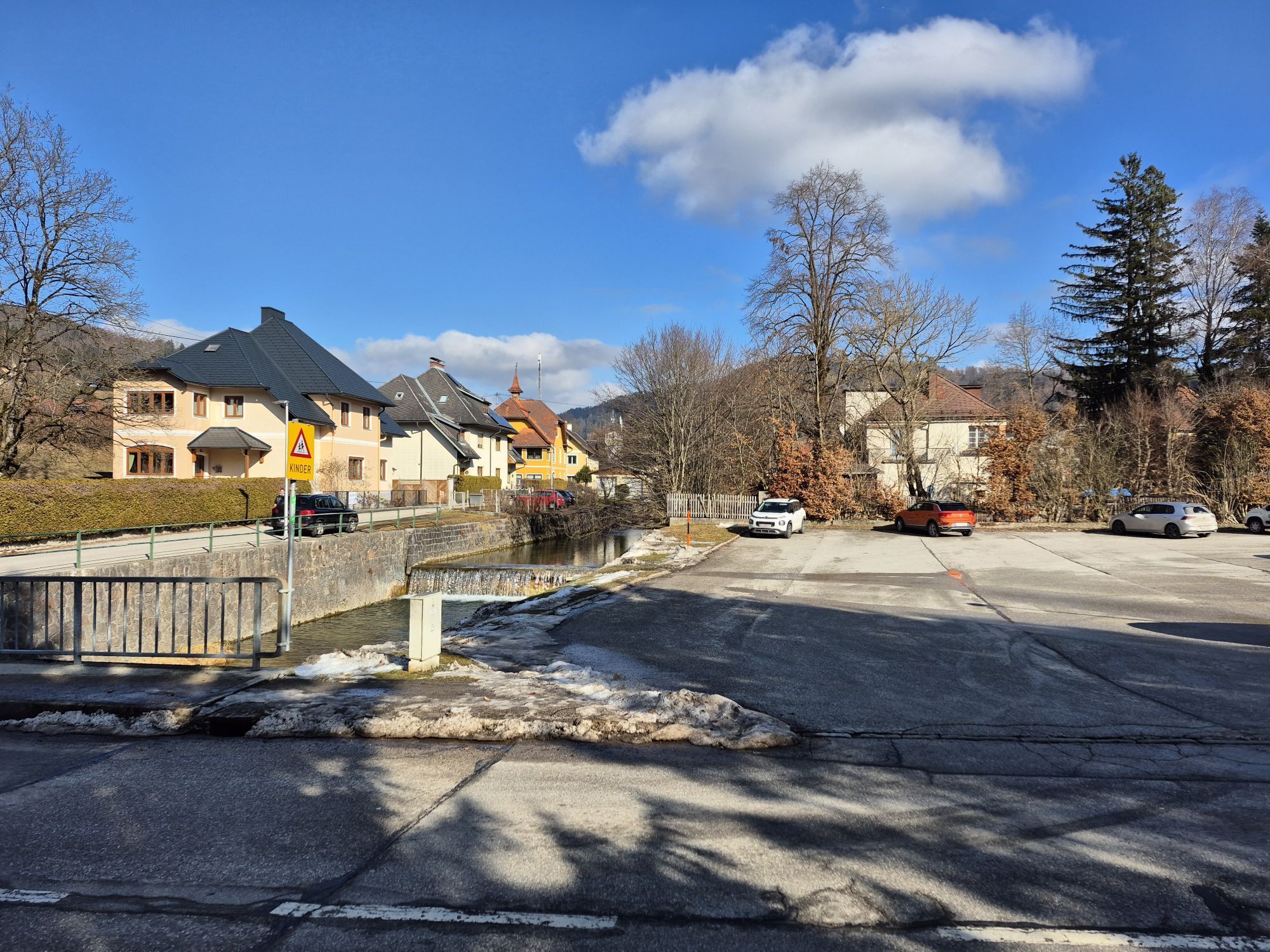
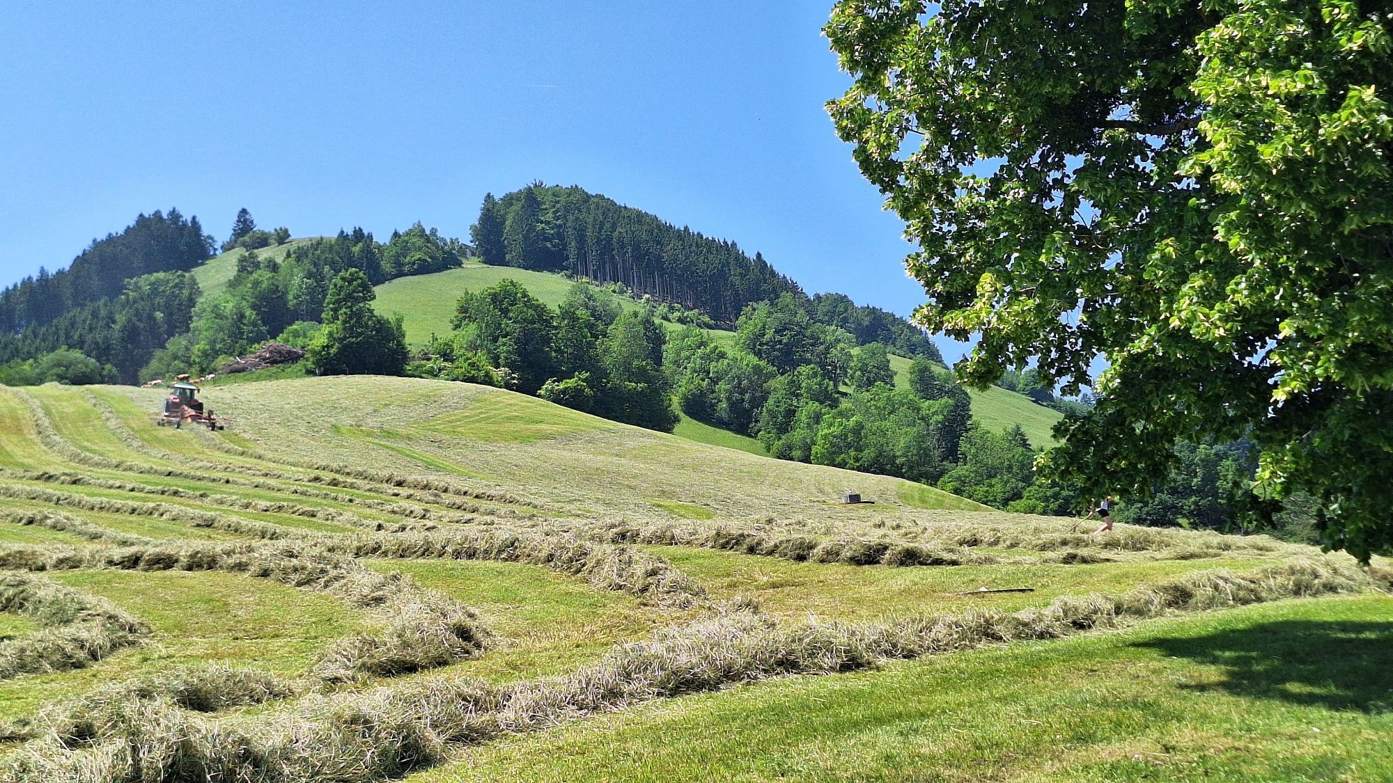
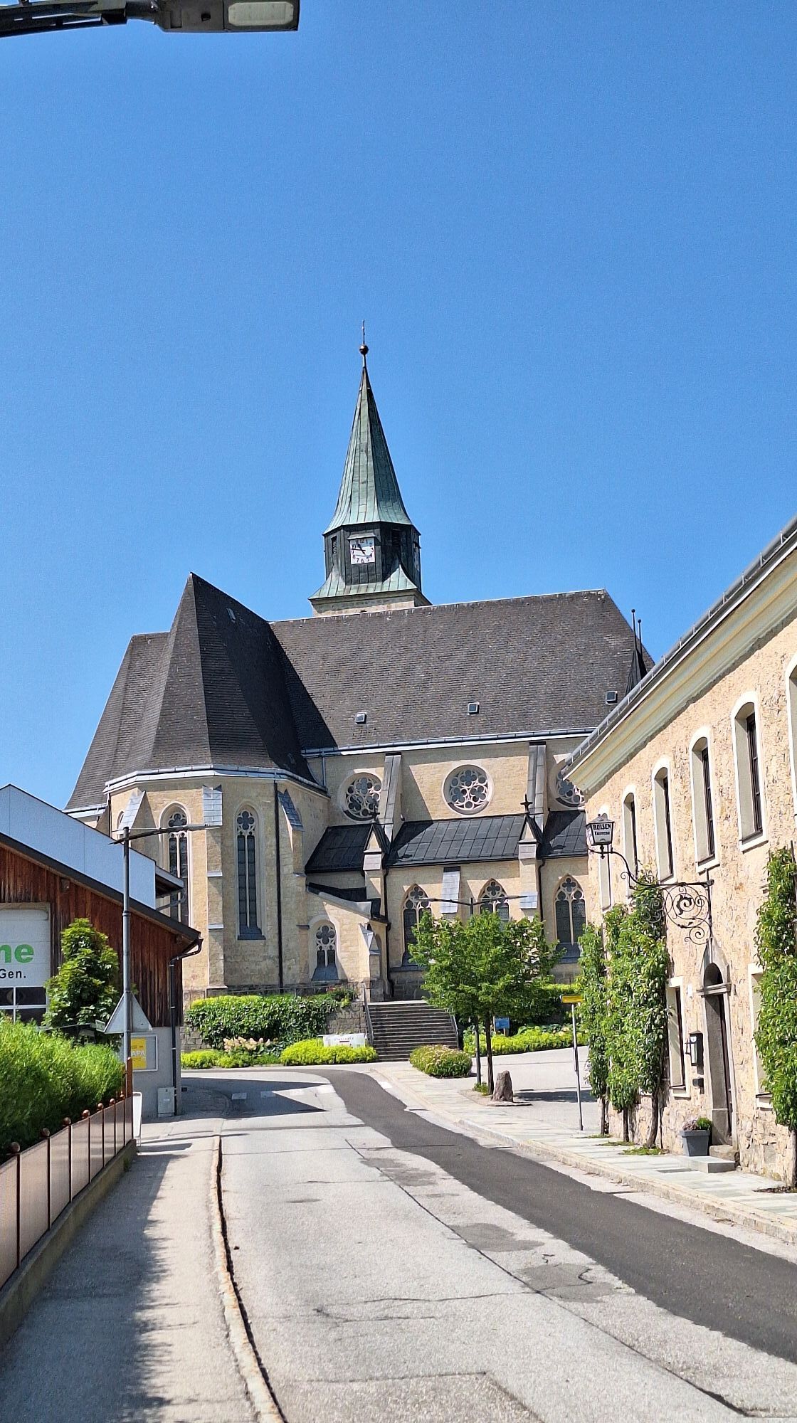
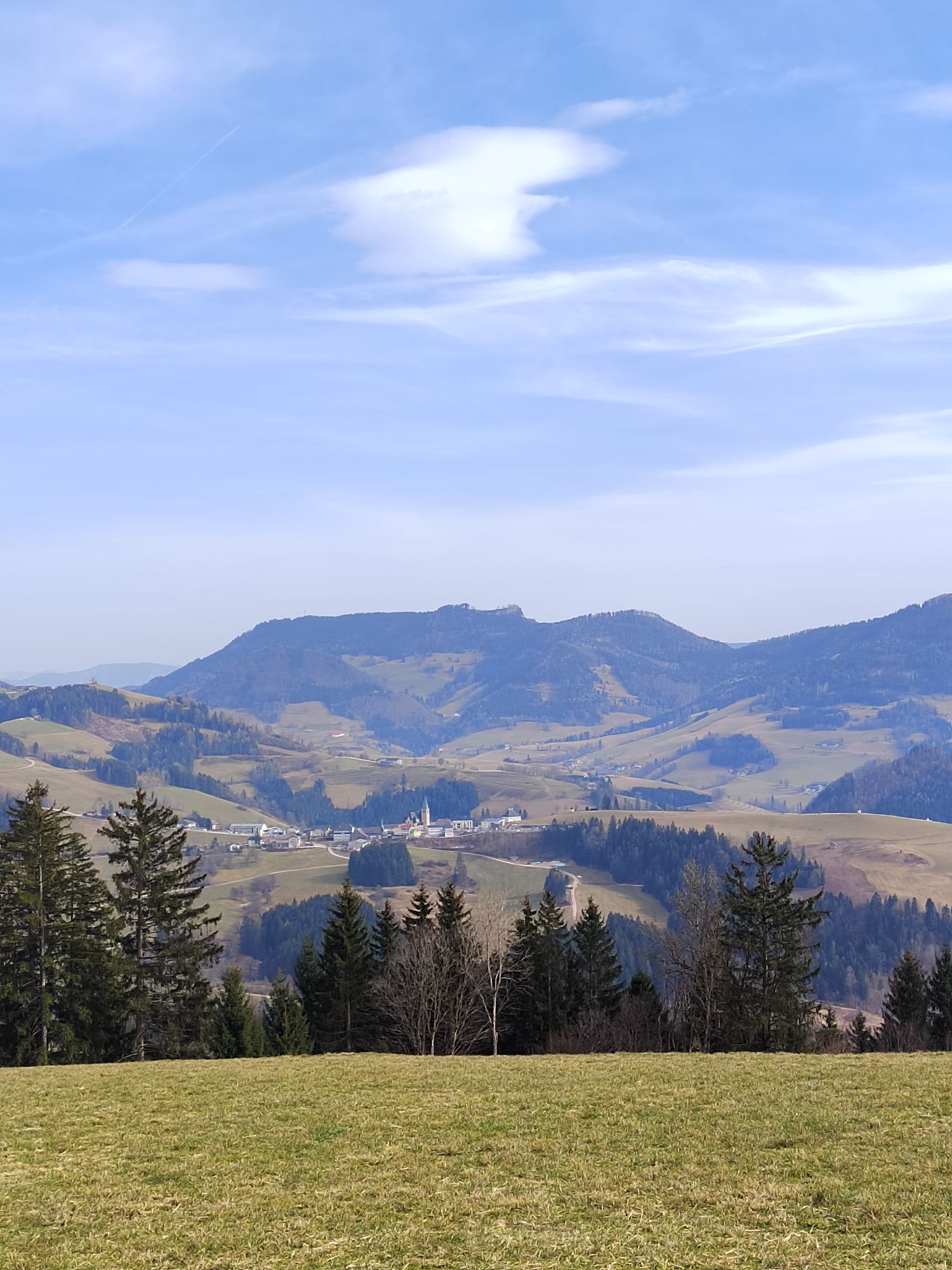
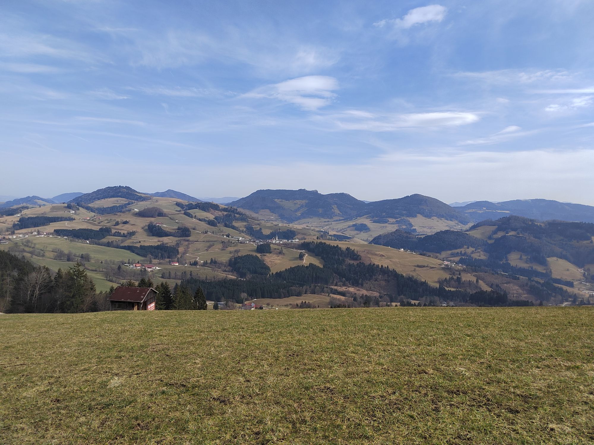
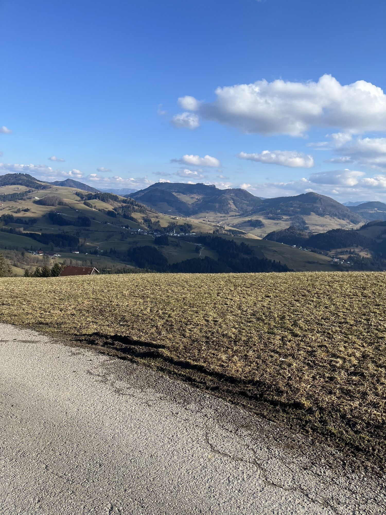
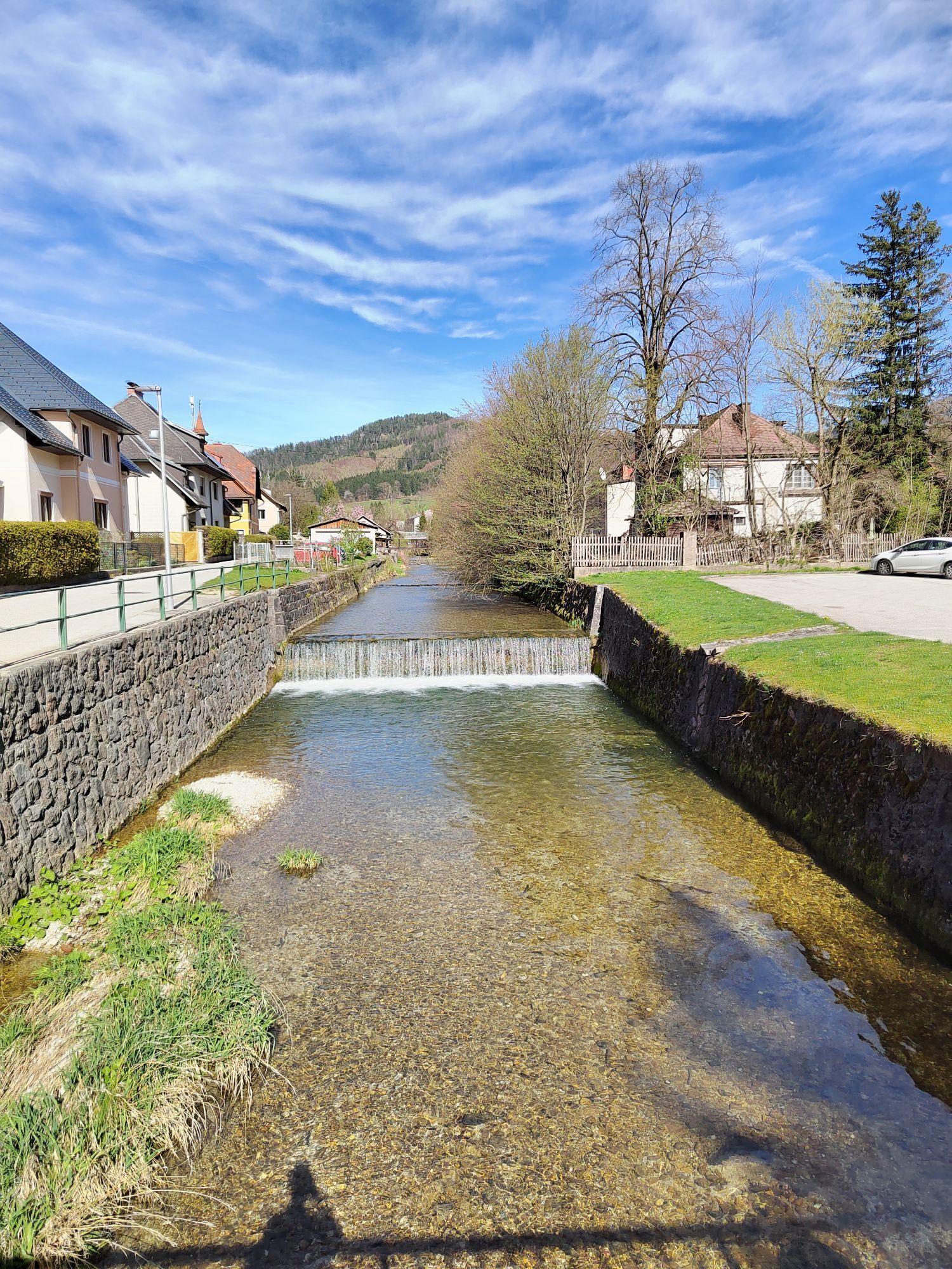
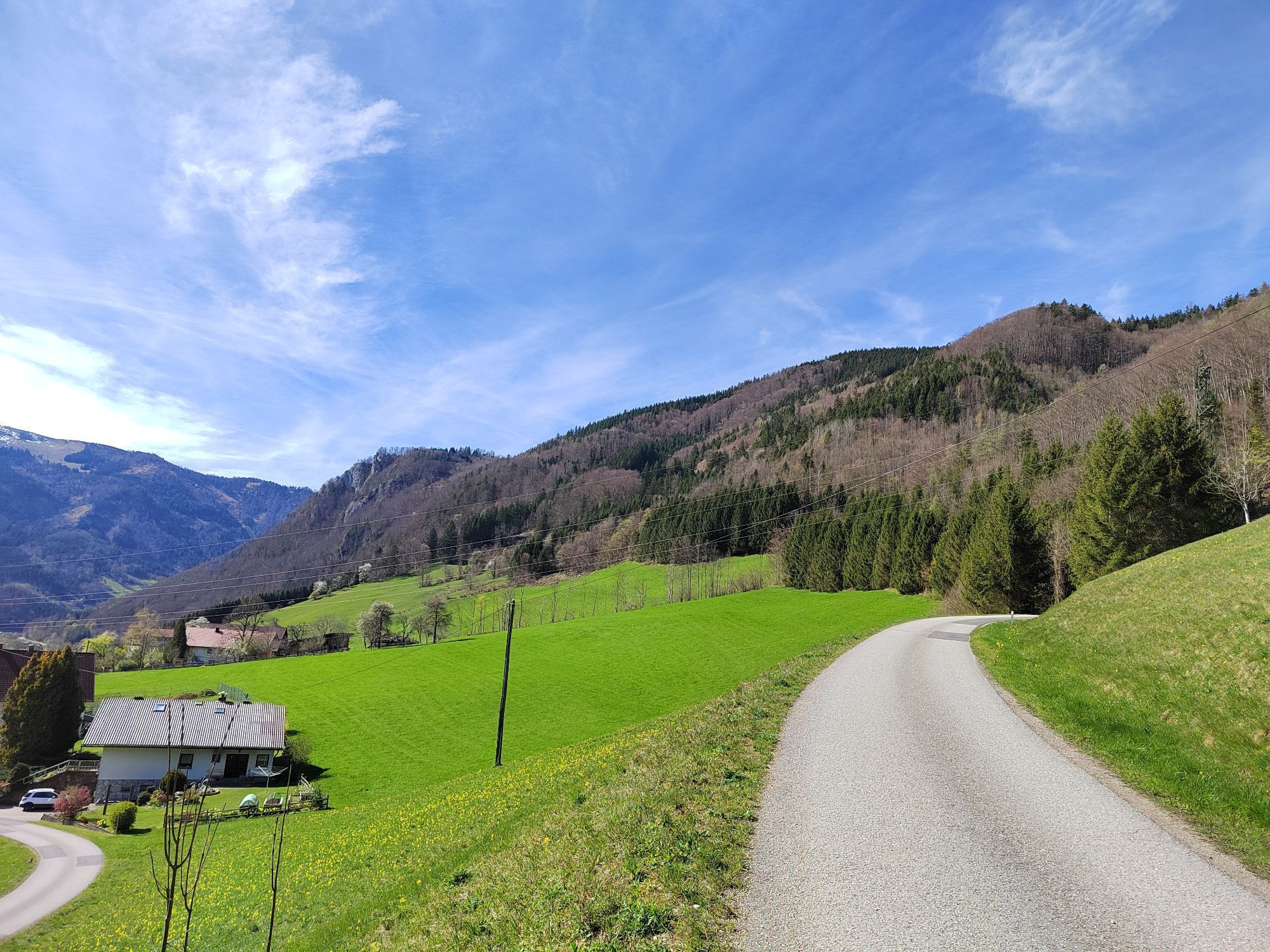
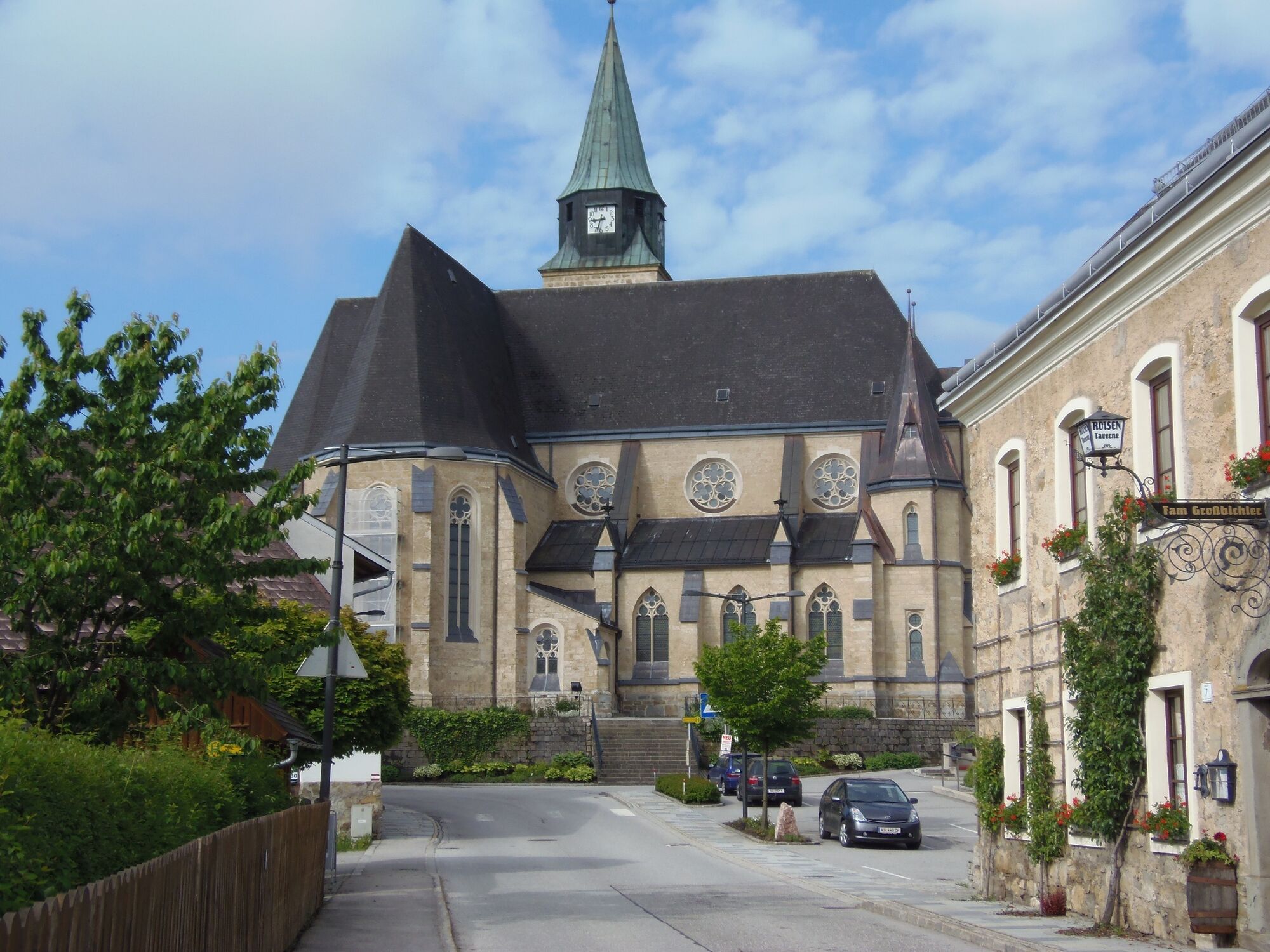
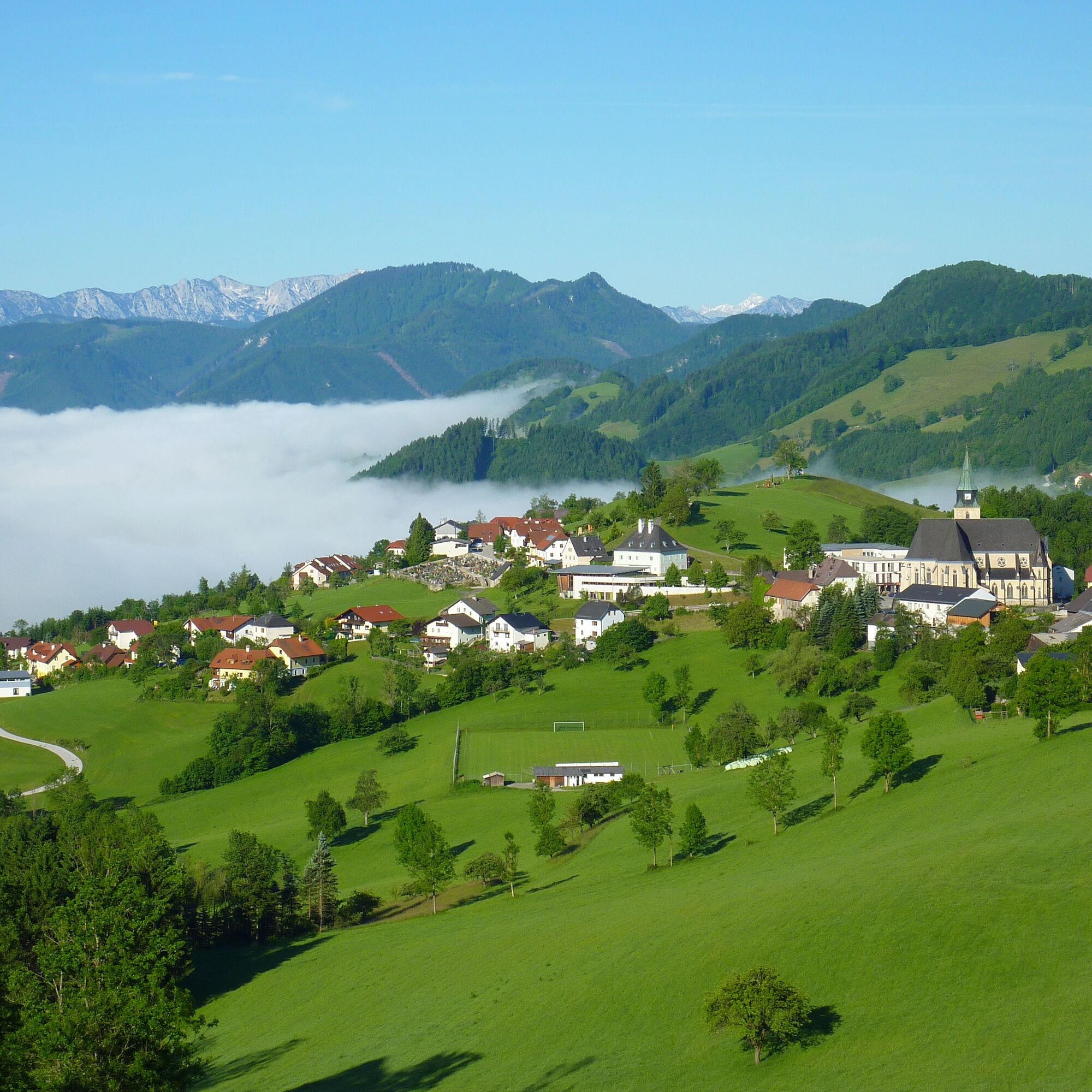
On R16 you ride past Katzensteiner Mill to the Ennsradweg R7 towards Großraming. Just before the raft village, you pass the junction to the impressive suspension bridge (5 min walk), then past the raft village over the Enns bridge, up into the village with the noteworthy parish church, past the municipal office, and after 200m turn right onto Neustiftgrabenstraße. This leads gently uphill about 5 km to the junction Maria Neustift and from there about 2 km with some curves somewhat steeper up to Maria Neustift, where the Gothic pilgrimage church invites you to stop. Then it goes 1.5 km further towards Kleinraming to the junction at the former Ramskogler department store, there turn right towards Ertl, after about 500 m right again, uphill on the Bischofberg road and further to the beautiful viewpoint Haunoldsteinerhöhe, which you should enjoy in peace. From there the path leads back down to the FF depot Moosgraben, continuing on a nice asphalt road to R16 and then back to Gaflenz and Weyer.
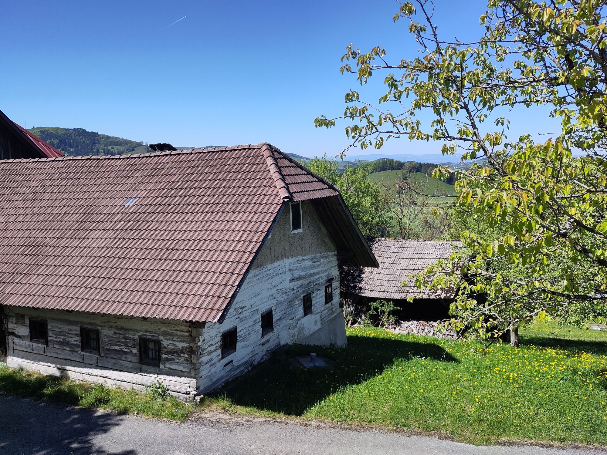
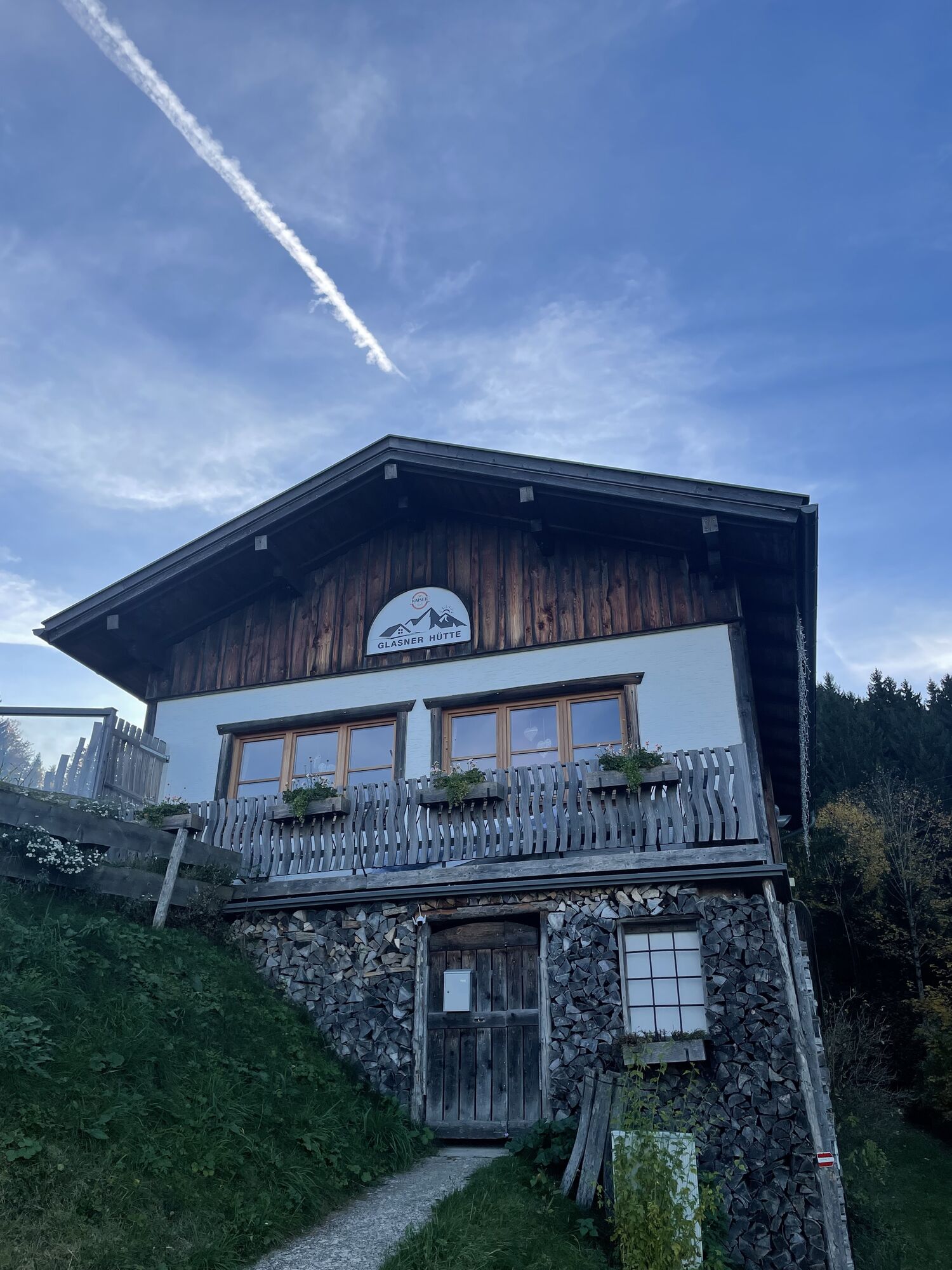
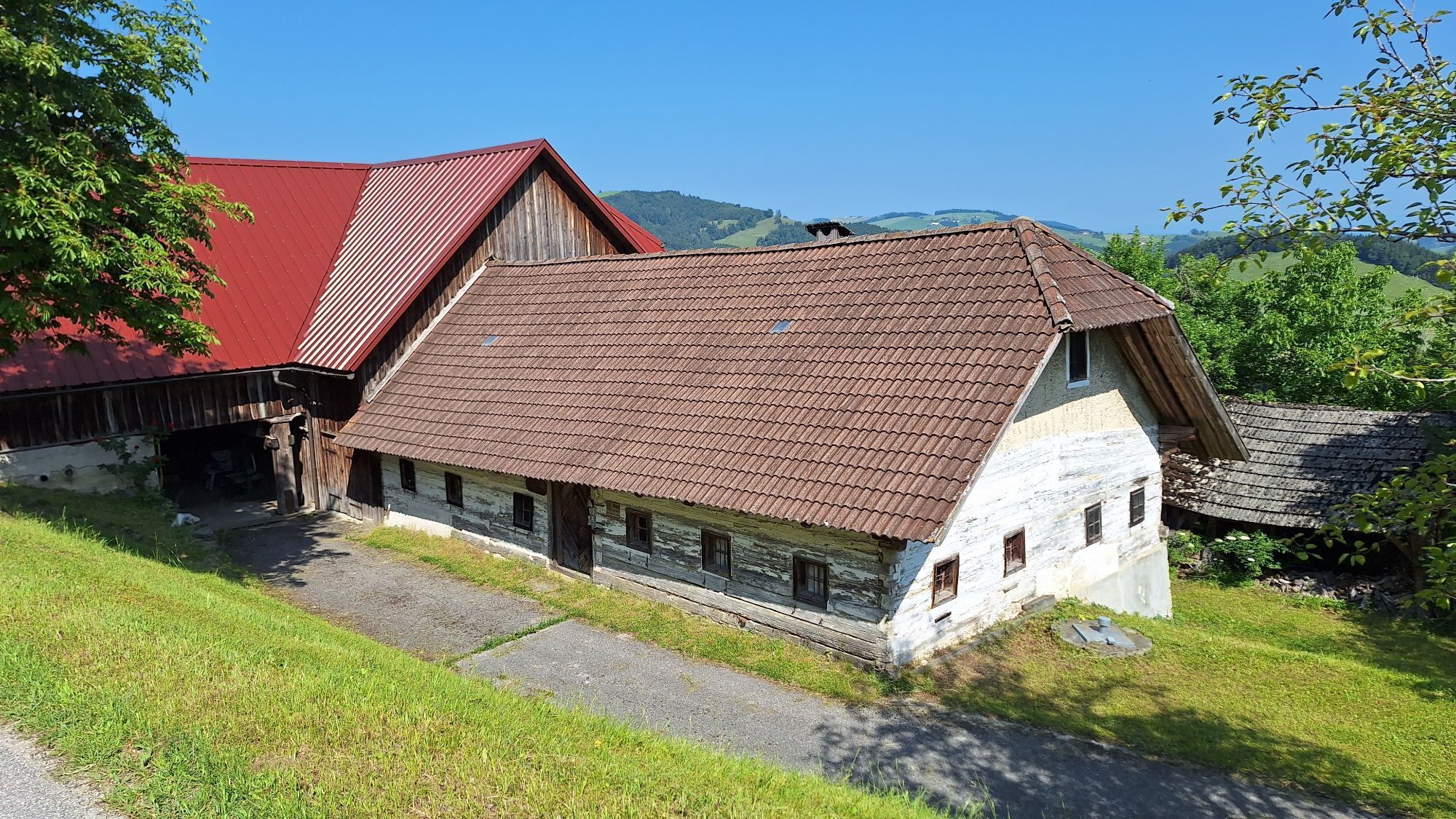
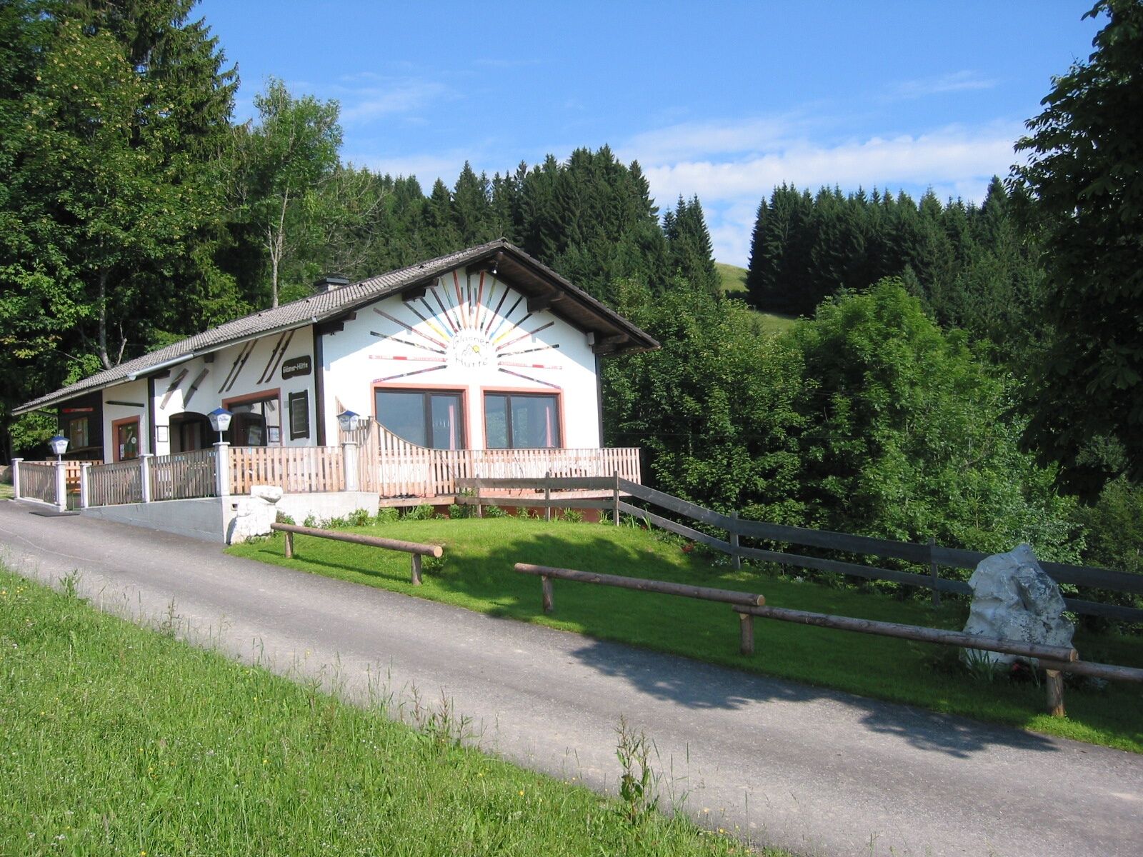
As an alternative, there is a scenic, very sporty variant: At the Hofberg bus stop, Walleiten junction, the Bischofberg road turns left. This leads rather steep but well rideable uphill, past the Arthofer farm to the Glasner hut. From there downhill to the pilgrimage church Maria Neustift.
Bicycle helmet, first aid kit for rider and bicycle
Please note: Along the route, extensive signposting has largely been omitted for environmental protection reasons. Map and GPX data provide the necessary security.
2
Kamery internetowe z trasy

Popularne wycieczki w okolicy
-
4,9
Ennser Hut - Almkogel (from Bamacher car park)
średniWędrówka 3,53 km -
4,9
Dambergwarte
światłoWędrówka 3,28 km -
4,8
Steinerner Jäger (1185m) und Schieferstein (1206m) ab Parkplatz Hochhabichler
średniWędrówka 4,46 km -
4,7
Steinerner Jäger (1185m) und Schieferstein (1206m) ab Parkplatz Hack
ciężkiWędrówka 8,58 km -
4,7
GROSSRAMING Bamacher, Burgspitz, Almkogel, Ennshütte 20240730
średniWędrówka 10 km -
4,4
Kleine Gipfelrunde Glasenberg
światłoWędrówka 4,99 km -
4,6
Gamsstein (1275m) und Gschwendtalm ab Parkplatz Brunnbach
średniWędrówka 7,37 km -
4,3
Freithofberg
średniWędrówka 9,15 km -
4,6
Lindaumauer, Maria Neustift
średniWędrówka 5,53 km -
4,2
Burgspitz, Almkogel, Wieser, Langlackenmauer und zurück
średniWędrówka 13,5 km
Wędrówki i tropienie


Nie przegap ofert i inspiracji na następne wakacje
Twój adres e-mail została dodana do listy mailingowej.





