






Sebaldusweg stage 4 of 4 | Gaflenz - Weyer - Großraming
Discover along the way:
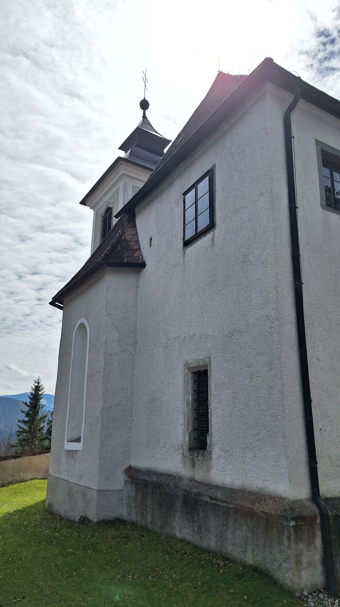
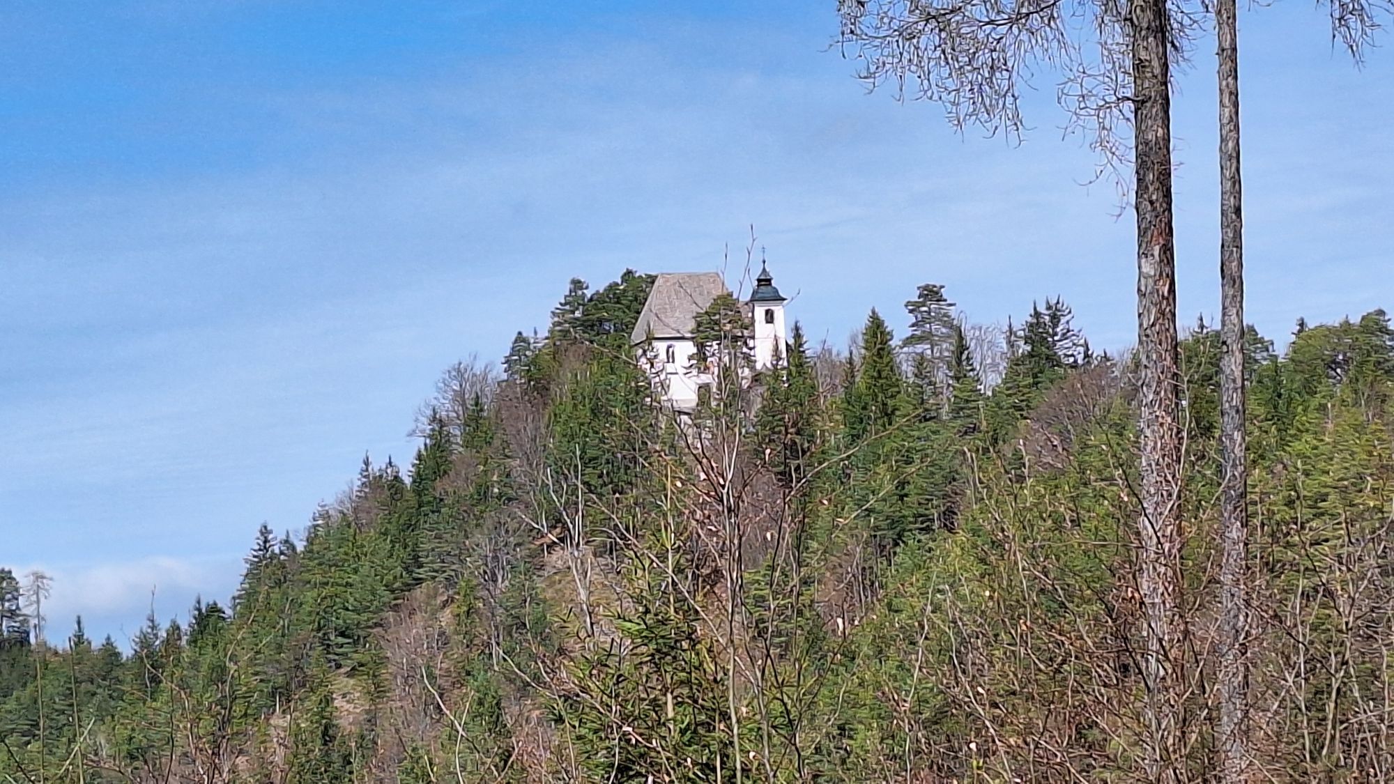
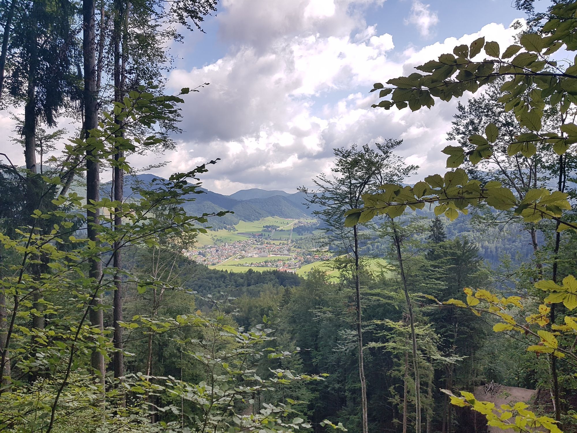
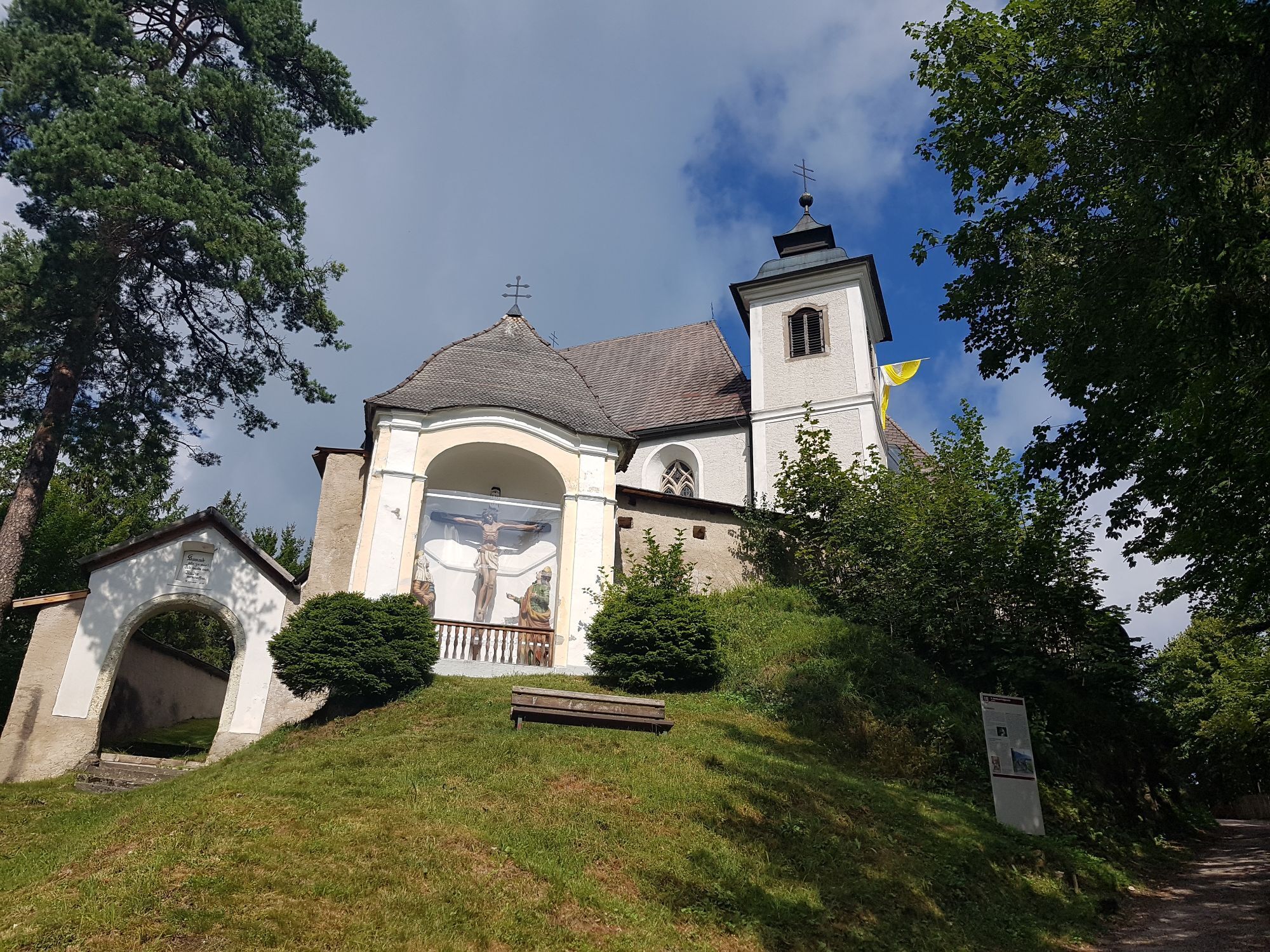
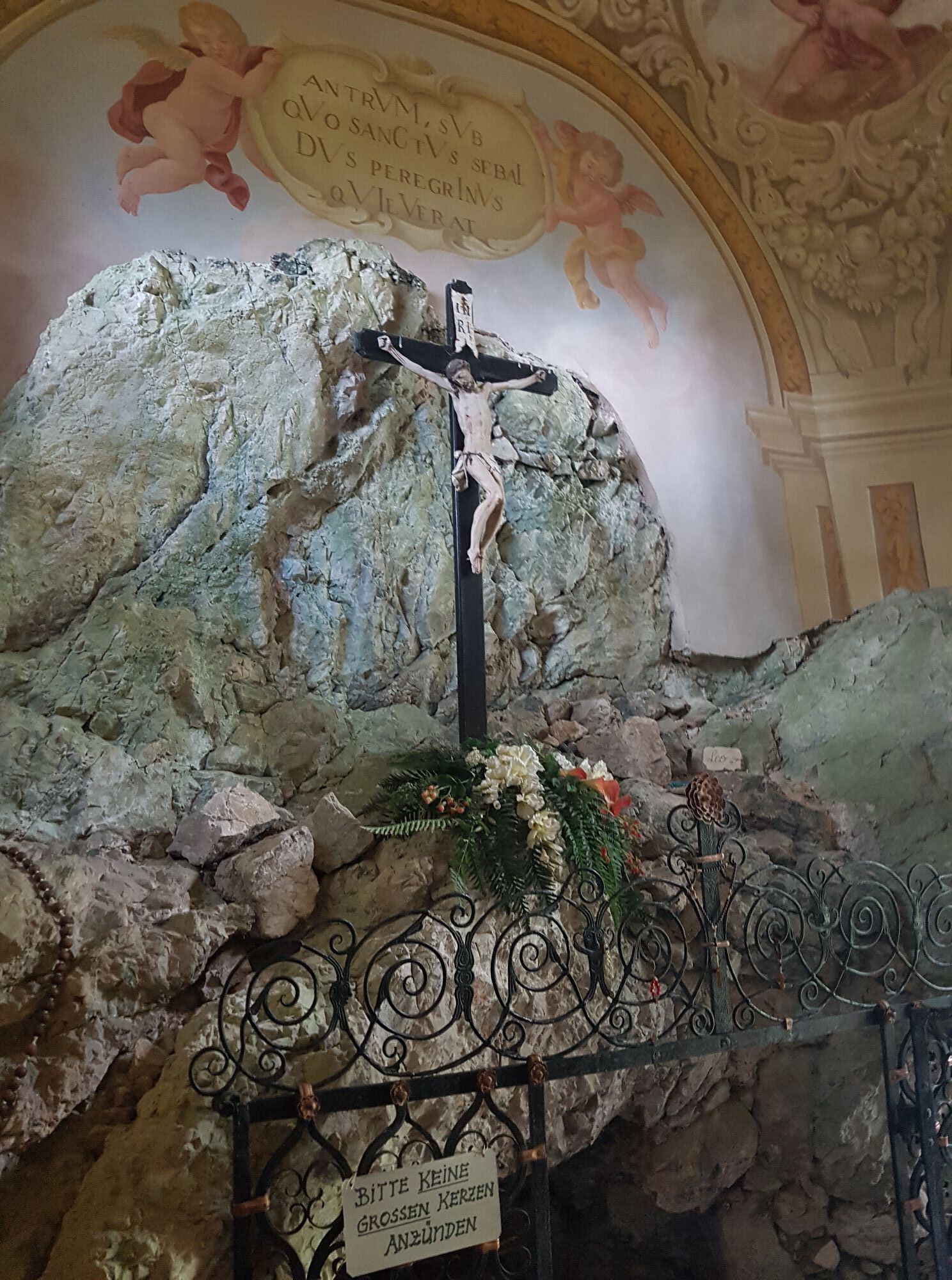
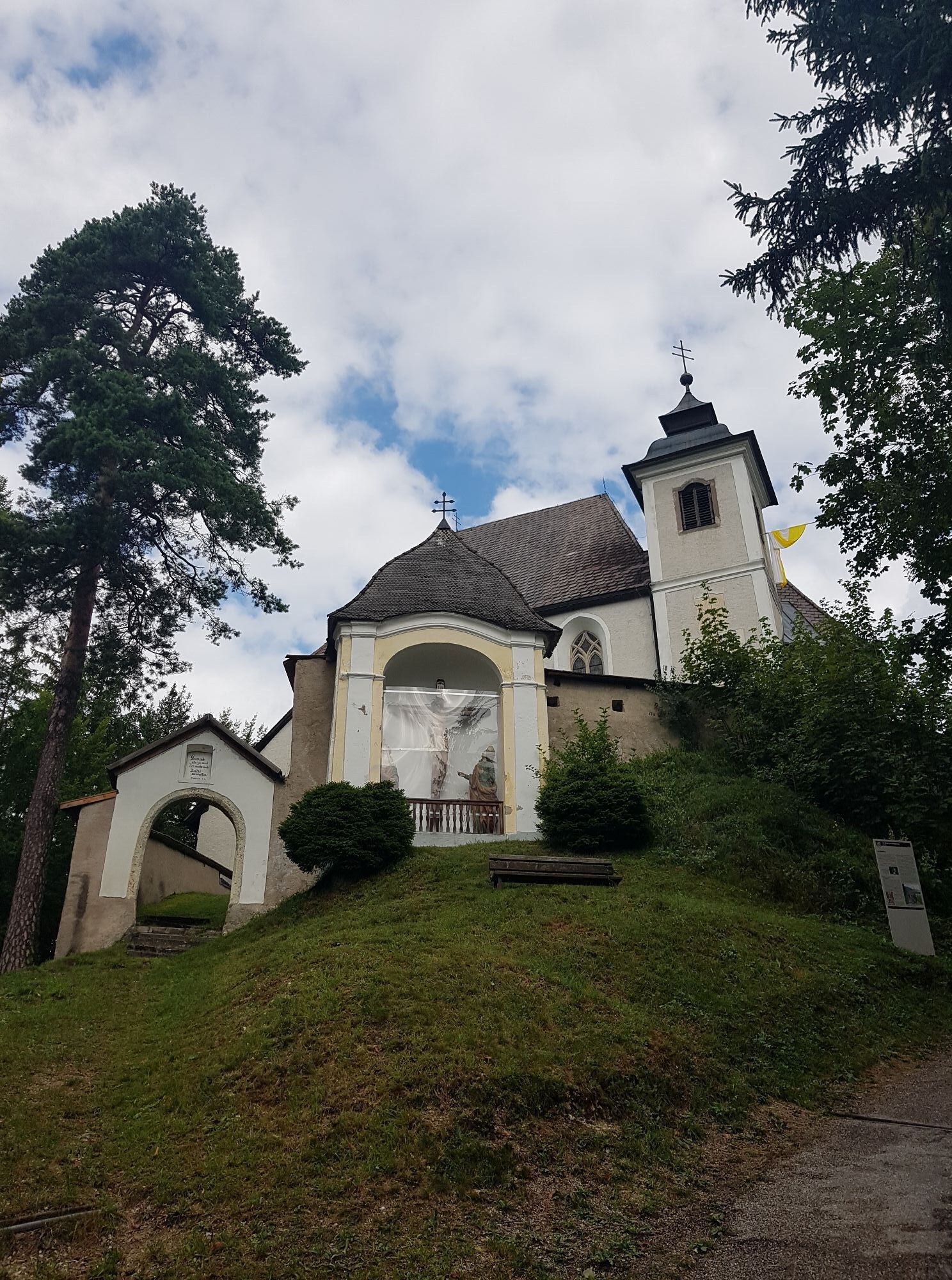
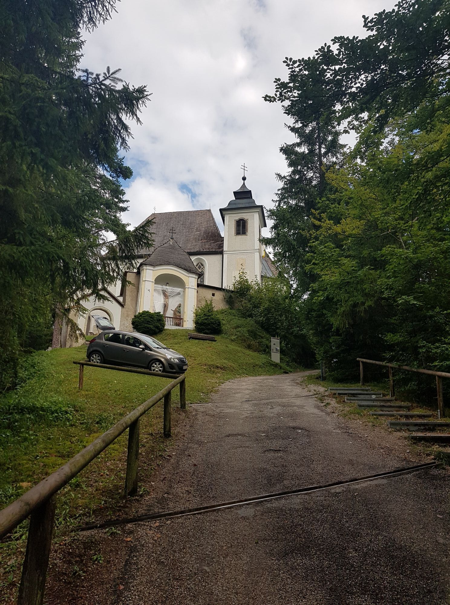
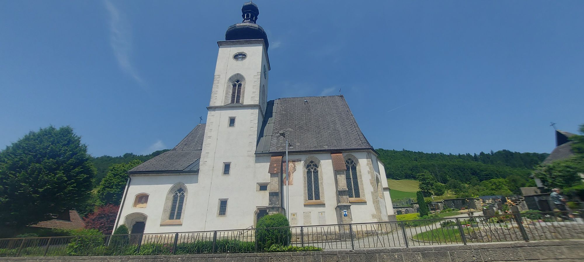
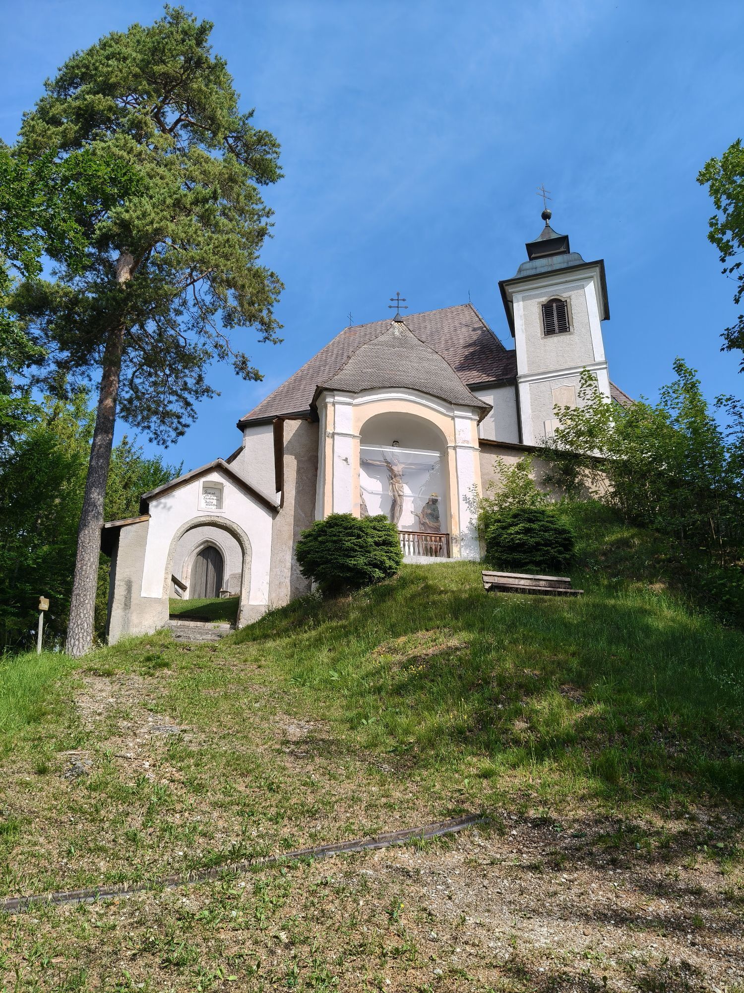
Gaflenz: Parish church Gaflenz (dedicated to St. Andreas and St. Vitus), outdoor pool Gaflenz, Stations of the Cross on Heiligenstein, pilgrimage church St. Sebald on Heiligenstein...
Discover along the way:
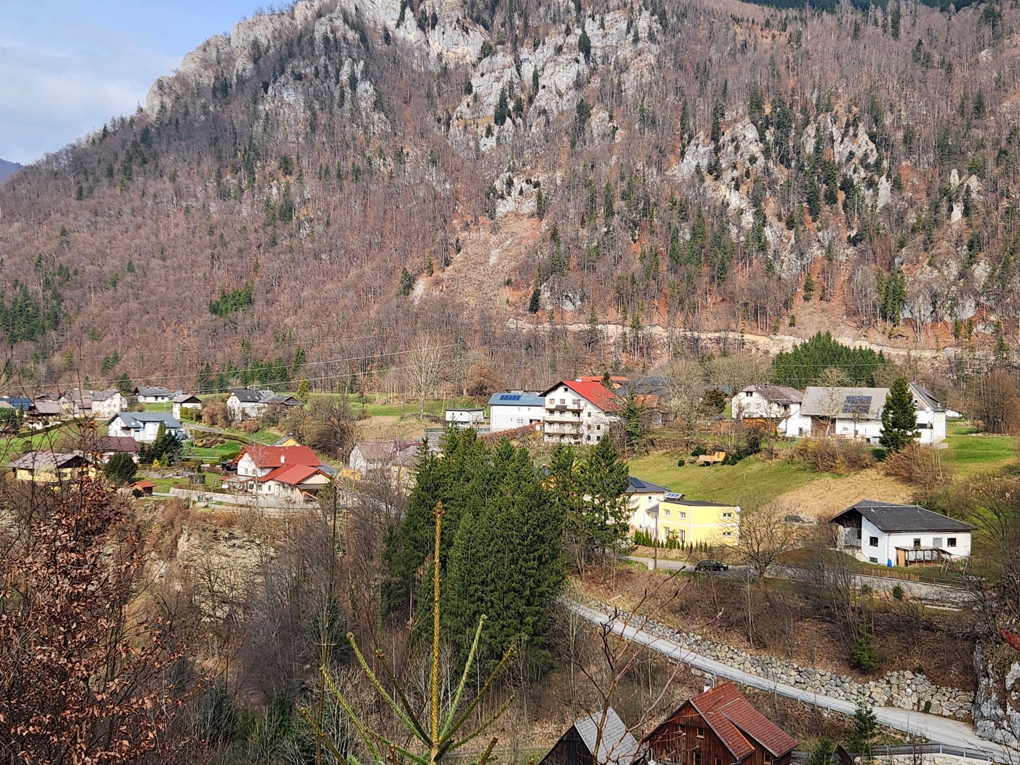
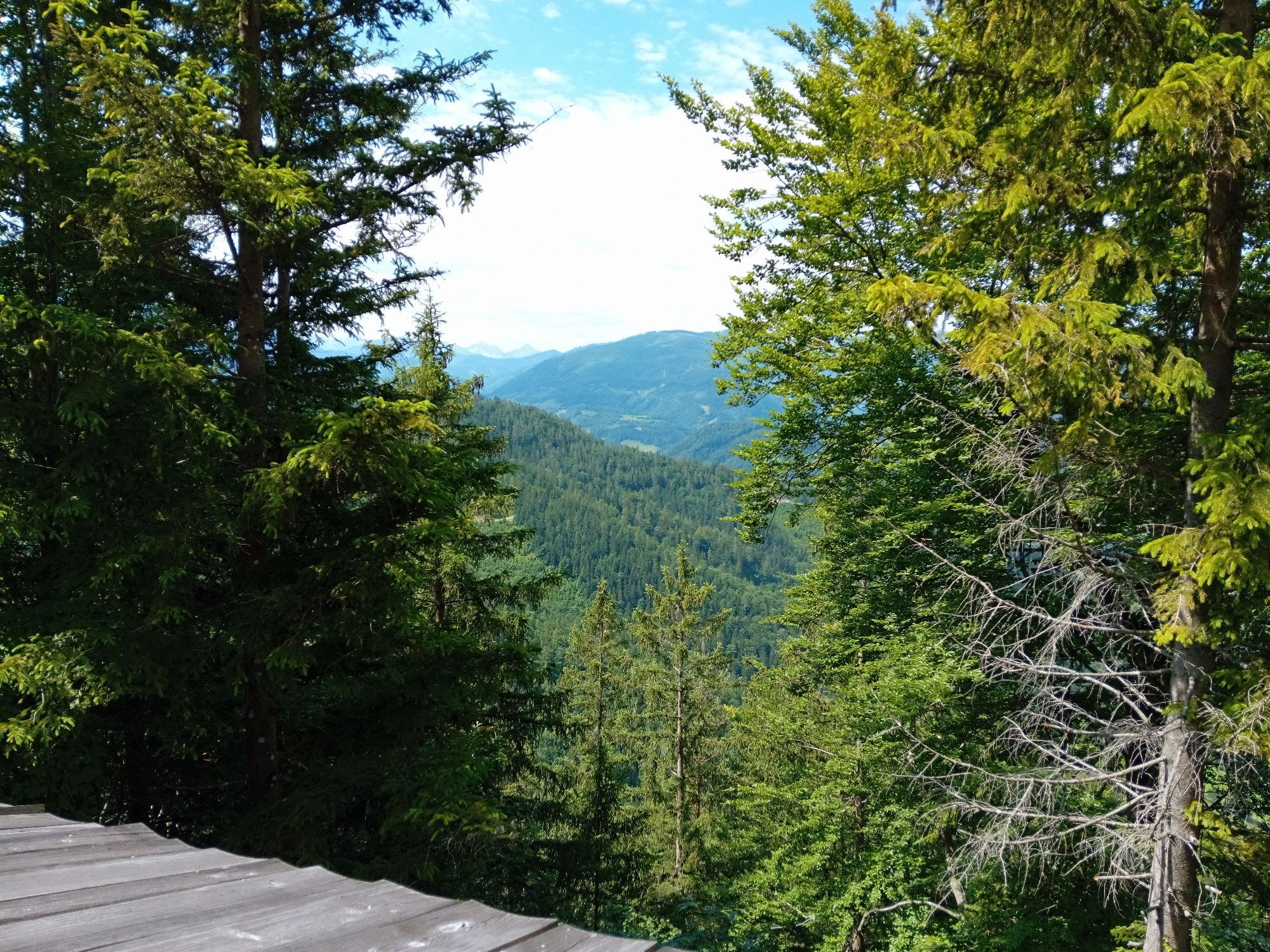
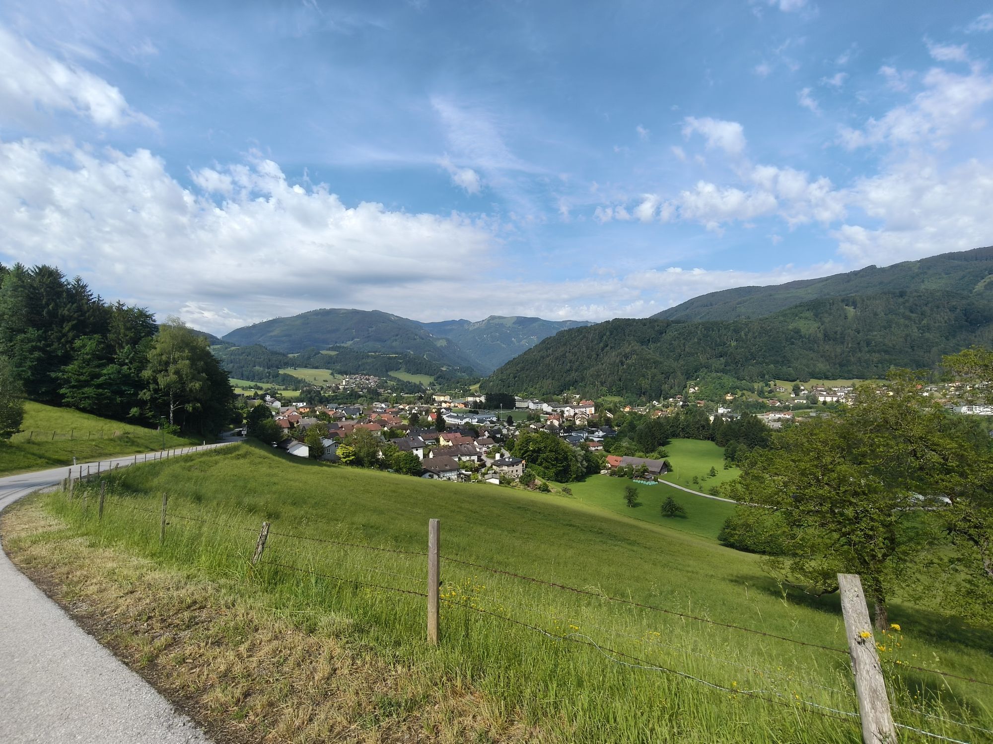
Gaflenz: Parish church Gaflenz (dedicated to St. Andreas and St. Vitus), outdoor pool Gaflenz, Stations of the Cross on Heiligenstein, pilgrimage church St. Sebald on Heiligenstein – the highlight of the pilgrimage path, Heiligenstein theme trail, forest educational trail on Heiligenstein
Weyer: historical market square, outdoor pool, parish church Weyer (dedicated to St. Johannes), Schmidberger dam on the Gaflenz brook, Katzensteiner mill, historically significant site at the bridge in Kastenreihth – information panels about the last days of war in Weyer
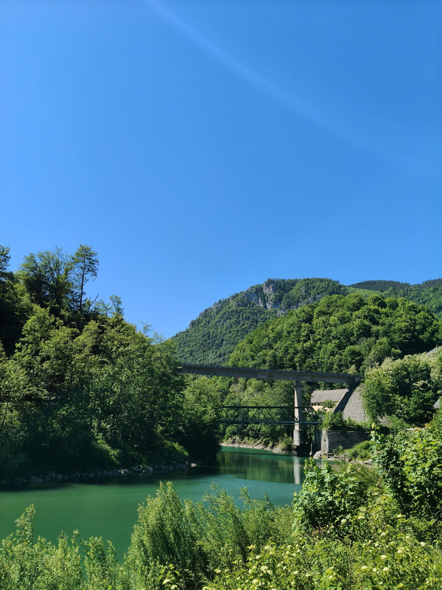
Großraming: shortly before Großraming, a red-white-red sign also informs about the end of the war and the Enns as the demarcation line, parish church Großraming (dedicated to St. Jakobus), FREI.sicht.BAD in Großraming
Off the path: Weyer – Kreuzberg nature reserve, climbing hall 6a, Weidensciff and sculptures by Alois Lindenbauer, carriage museum Großraming
Museums/Exhibitions: Katzensteiner mill and Prevenhuberhaus in Weyer
Opening and mass times:
Parish church Gaflenz, parish church Weyer, parish church Großraming



Gaflenz – Stations of the Cross – Heiligenstein – via Heiligenstein hiking trail to Weyer – market square – Katzensteiner mill – on the Enns cycle path (R7) to Großraming
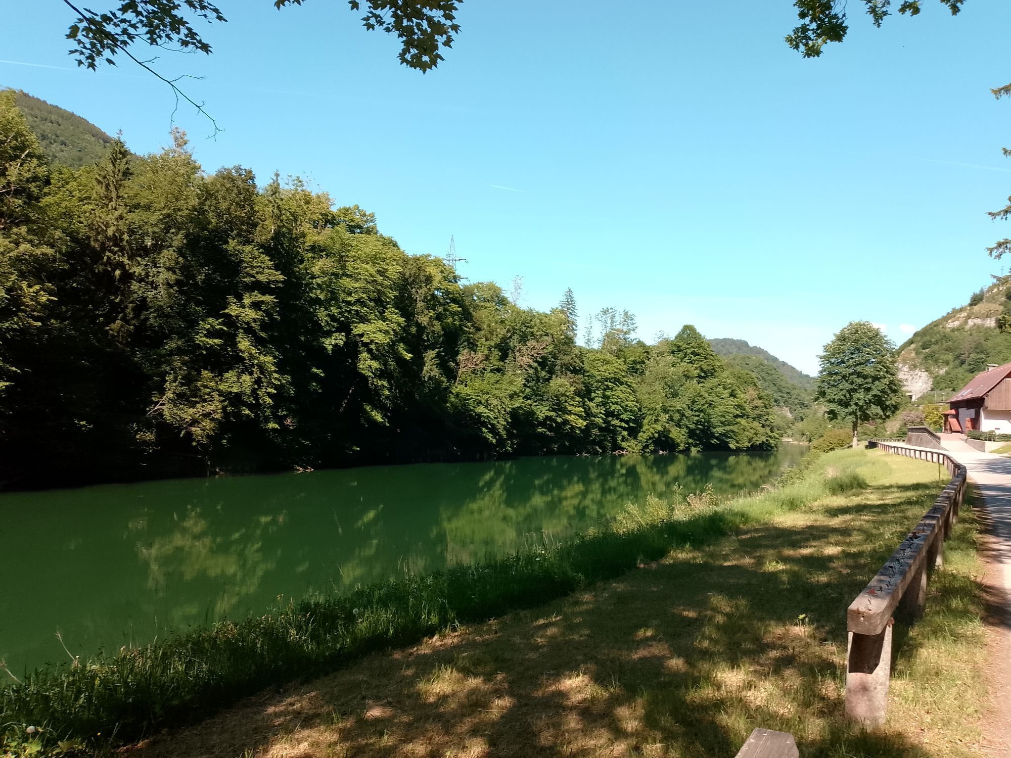
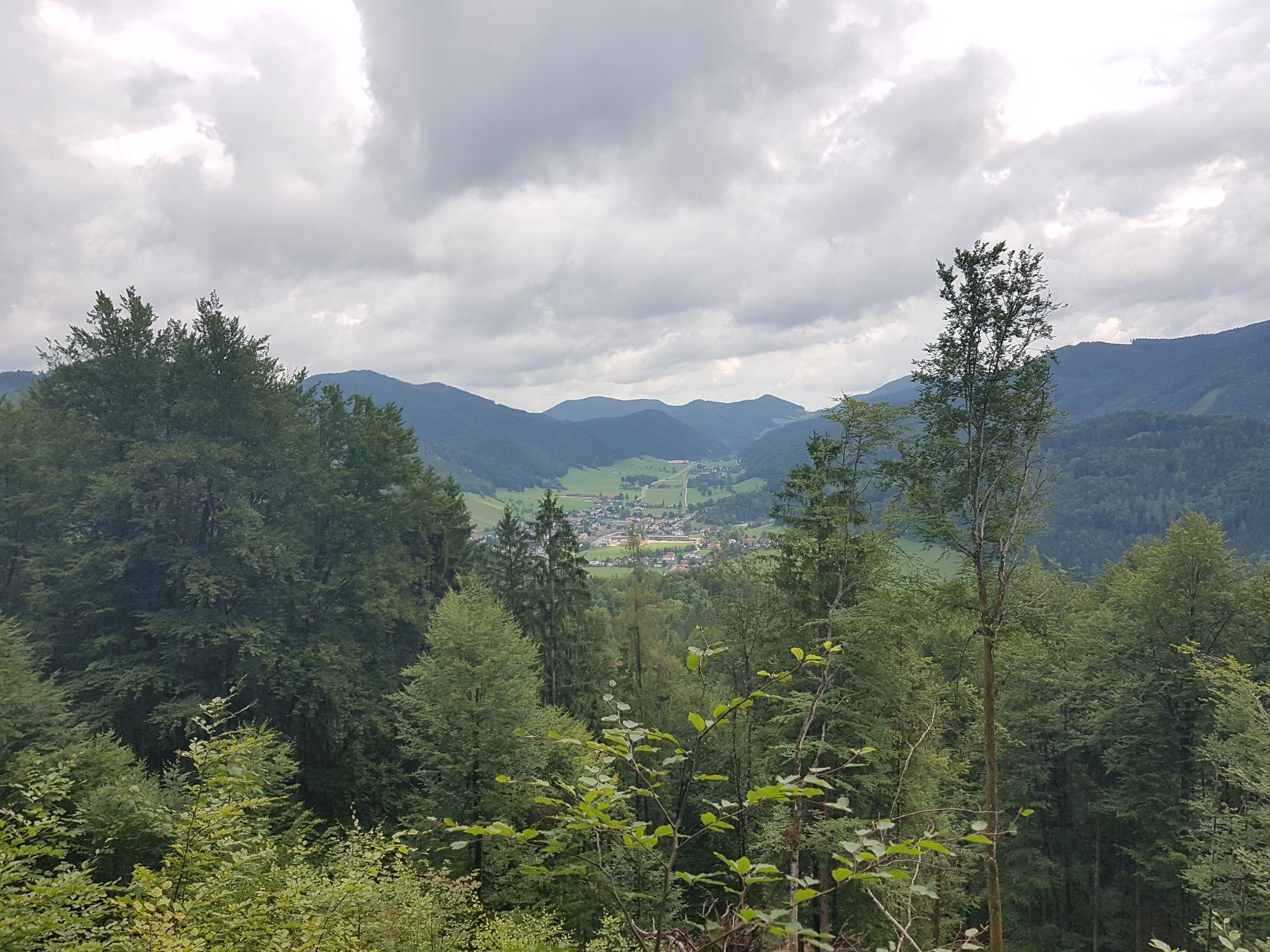
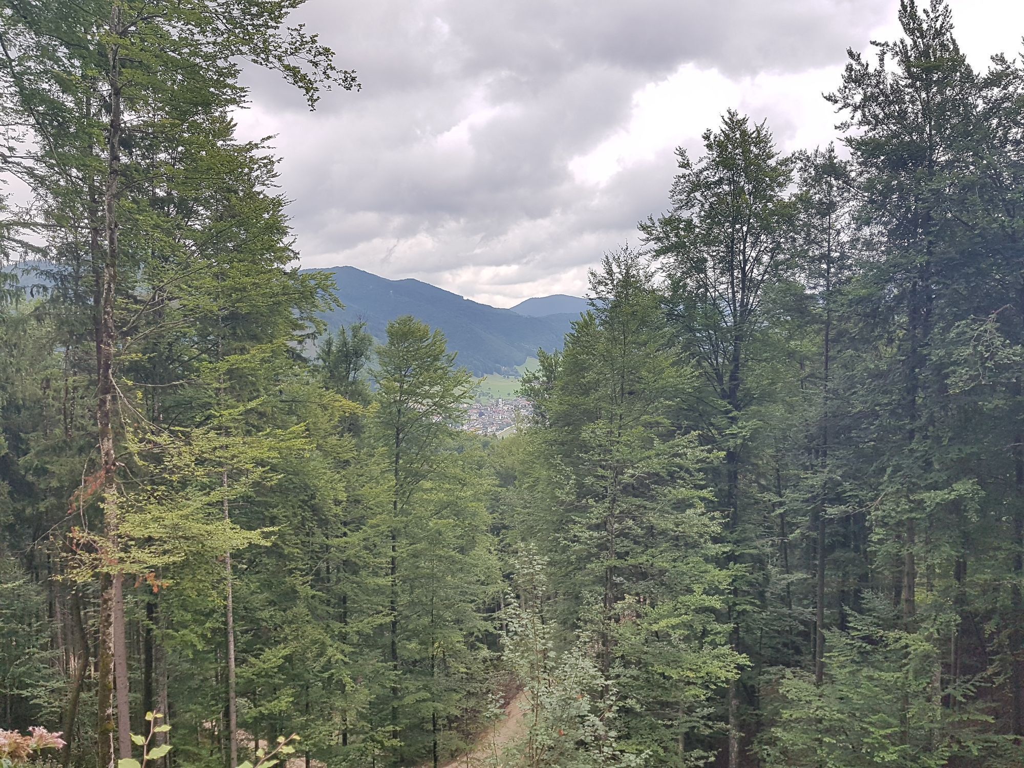
From Gaflenz, the path leads over the Stations of the Cross E 06 to Heiligenstein (782 m) and then via the Heiligenstein hiking trail to Weyer (historical market square). At the right curve after the market square, the path turns left uphill to the parish church and over the church path to the Winkelmayr guesthouse. At the Steineck guesthouse, you cross the street and the Gaflenz brook and walk along the promenade past the Katzensteiner mill to the Enns. On the Enns cycle path R7, you walk along the Enns towards Großraming, passing the train station until you reach the Enns bridge. We cross the bridge, keep right, and at the pedestrian crossing change to the other side of the street. From here, we walk up the sidewalk into the town center of Großraming.
Sturdy hiking boots, sun and rain protection, first aid kit for emergencies, possibly hiking poles.
As there are few opportunities to stop for refreshments directly along the trail, it is advisable to take enough snacks and drinks with you.
Losenstein, Großraming, Weyer, and Gaflenz are ideal for arrival to the Sebaldusweg by train.
Details at www.ooevv.at
Public free parking options
Großraming: public parking spaces behind the state music school or at the former Salzwimmer guesthouse Losenstein: public parking spaces at the train station or at the family guesthouse Blasl Laussa: public parking spaces opposite Kaufhaus Baumgartner Maria Neustift: public parking spaces to the left behind the municipal office Gaflenz: public parking spaces at the municipal office, outdoor pool Weyer: Kreuzberg parking lotInformation on dining and accommodation options or bookable offers at www.sebaldusweg.at
Stop for refreshment along the way:
It is recommended to bring enough snacks and drinks as there are limited catering options during the stages. It is also advisable to check the opening times of the gastronomy establishments in advance. Detailed information about dining options can be found at Gastronomy Sebaldusweg (steyr-nationalpark.at)

 Uzyskaj wgląd
Zawsze na żywo z ponad 9 500 kamer internetowych. bergfex Jako użytkownik Pro, możesz teraz zobaczyć odpowiednie kamery internetowe dla wielu wycieczek w aplikacji wycieczki od. Pozwala to na bezpośredni podgląd aktualnych warunków.
Uzyskaj wgląd
Zawsze na żywo z ponad 9 500 kamer internetowych. bergfex Jako użytkownik Pro, możesz teraz zobaczyć odpowiednie kamery internetowe dla wielu wycieczek w aplikacji wycieczki od. Pozwala to na bezpośredni podgląd aktualnych warunków.


Popularne wycieczki w okolicy
-
4,9
Ennser Hut - Almkogel (from Bamacher car park)
średniWędrówka 3,53 km -
4,8
Steinerner Jäger (1185m) und Schieferstein (1206m) ab Parkplatz Hochhabichler
średniWędrówka 4,46 km -
4,7
GROSSRAMING Bamacher, Burgspitz, Almkogel, Ennshütte 20240730
średniWędrówka 10 km -
4,6
Opponitz Gorge Hiking Trail
średniWędrówka 4,42 km -
4,3
Freithofberg
średniWędrówka 9,15 km -
4,7
Steinerner Jäger (1185m) und Schieferstein (1206m) ab Parkplatz Hack
ciężkiWędrówka 8,58 km -
4,4
Kleine Gipfelrunde Glasenberg
światłoWędrówka 4,99 km -
3,8
Lindaumauer (1103 m)
Wędrówka 3,40 km -
4,8
R9 Hintergebirgsradweg
średniJazda na rowerze 29,1 km -
4,5
Lindaumauer, Maria Neustift
średniWędrówka 5,53 km
Wędrówki i tropienie


Nie przegap ofert i inspiracji na następne wakacje
Twój adres e-mail została dodana do listy mailingowej.





