







Way of St. James Mostviertel: 4th stage: from Mauthausen to Linz
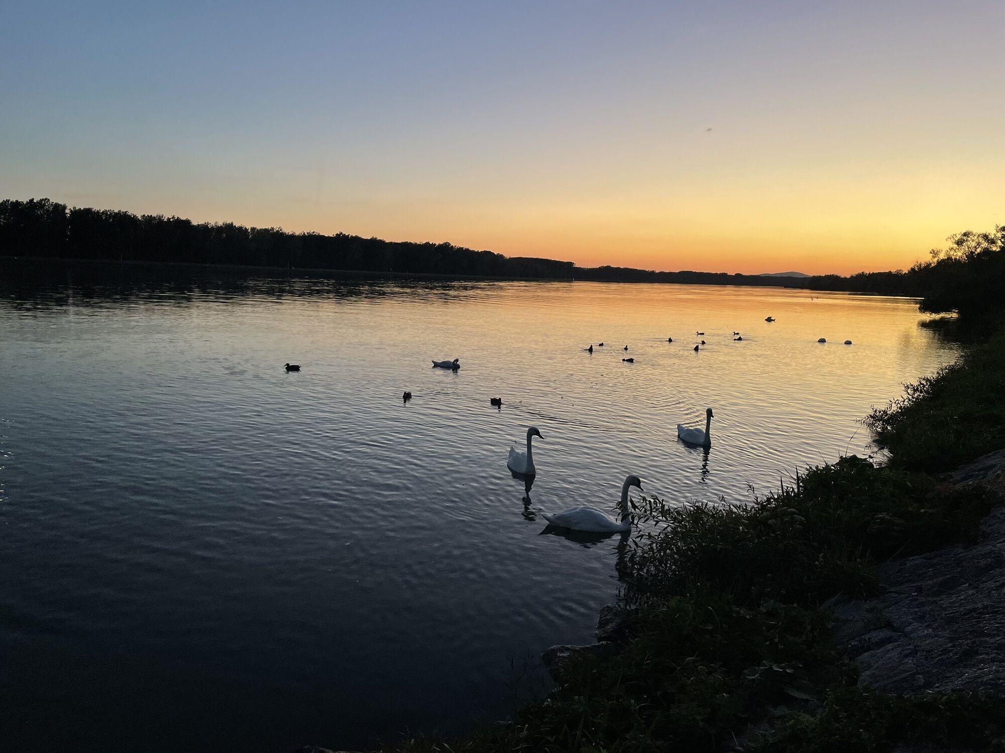
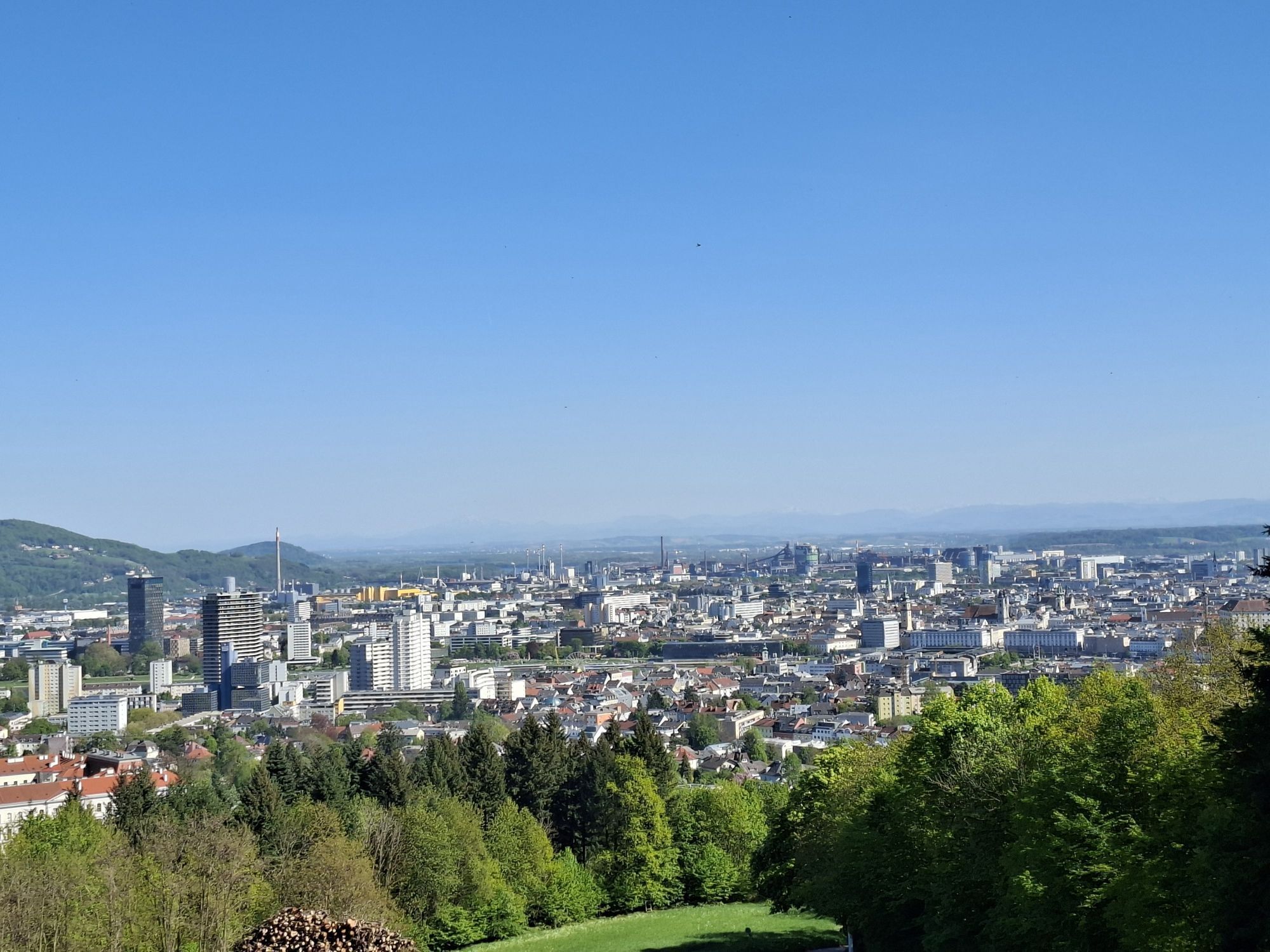
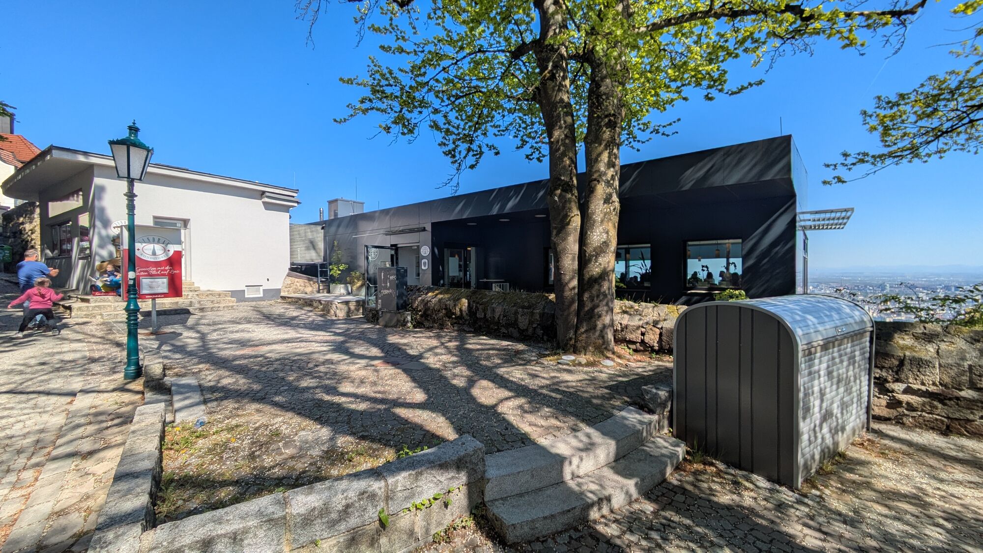
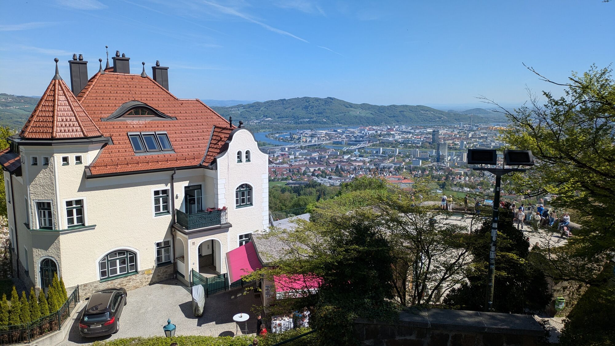
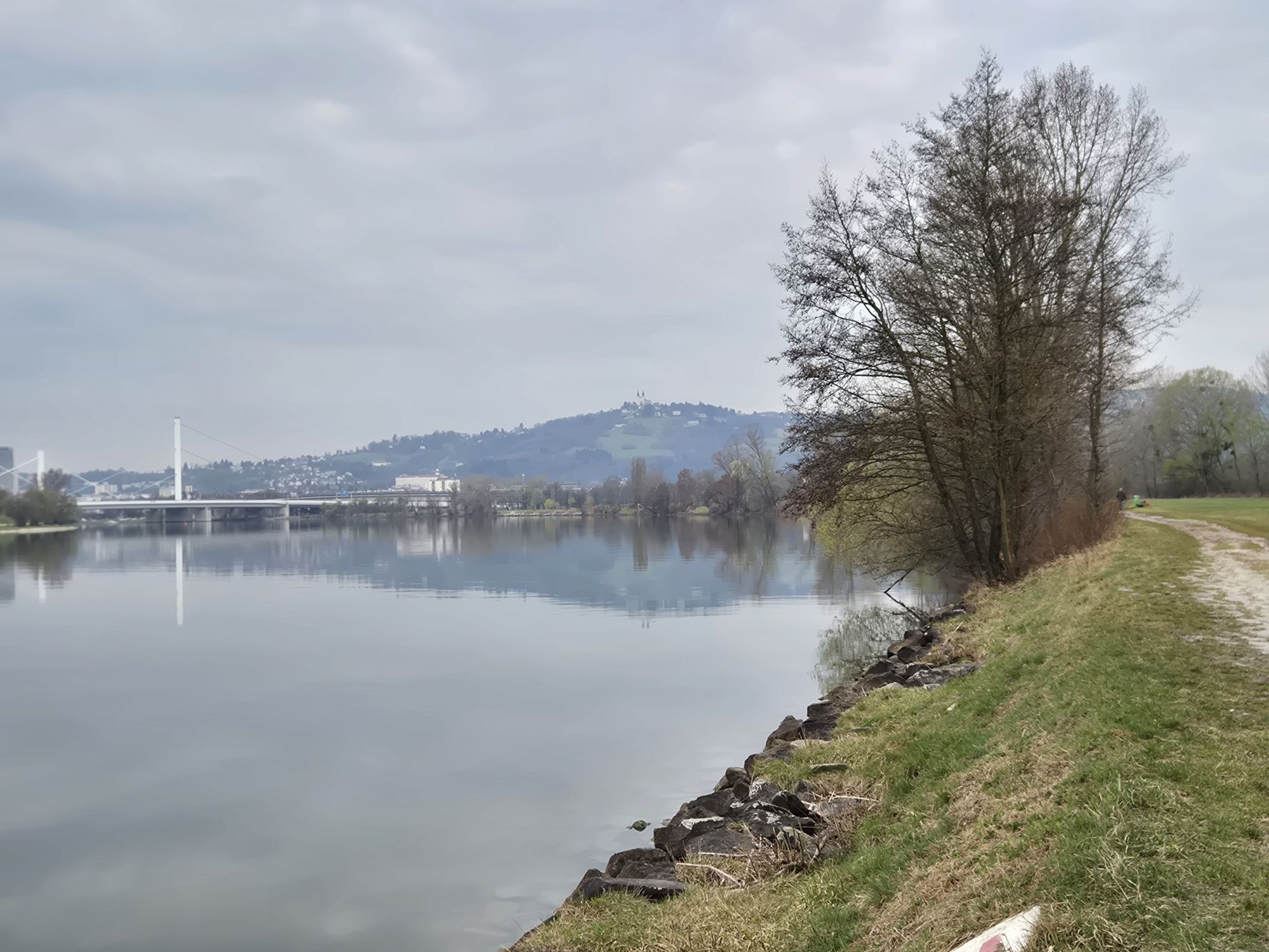
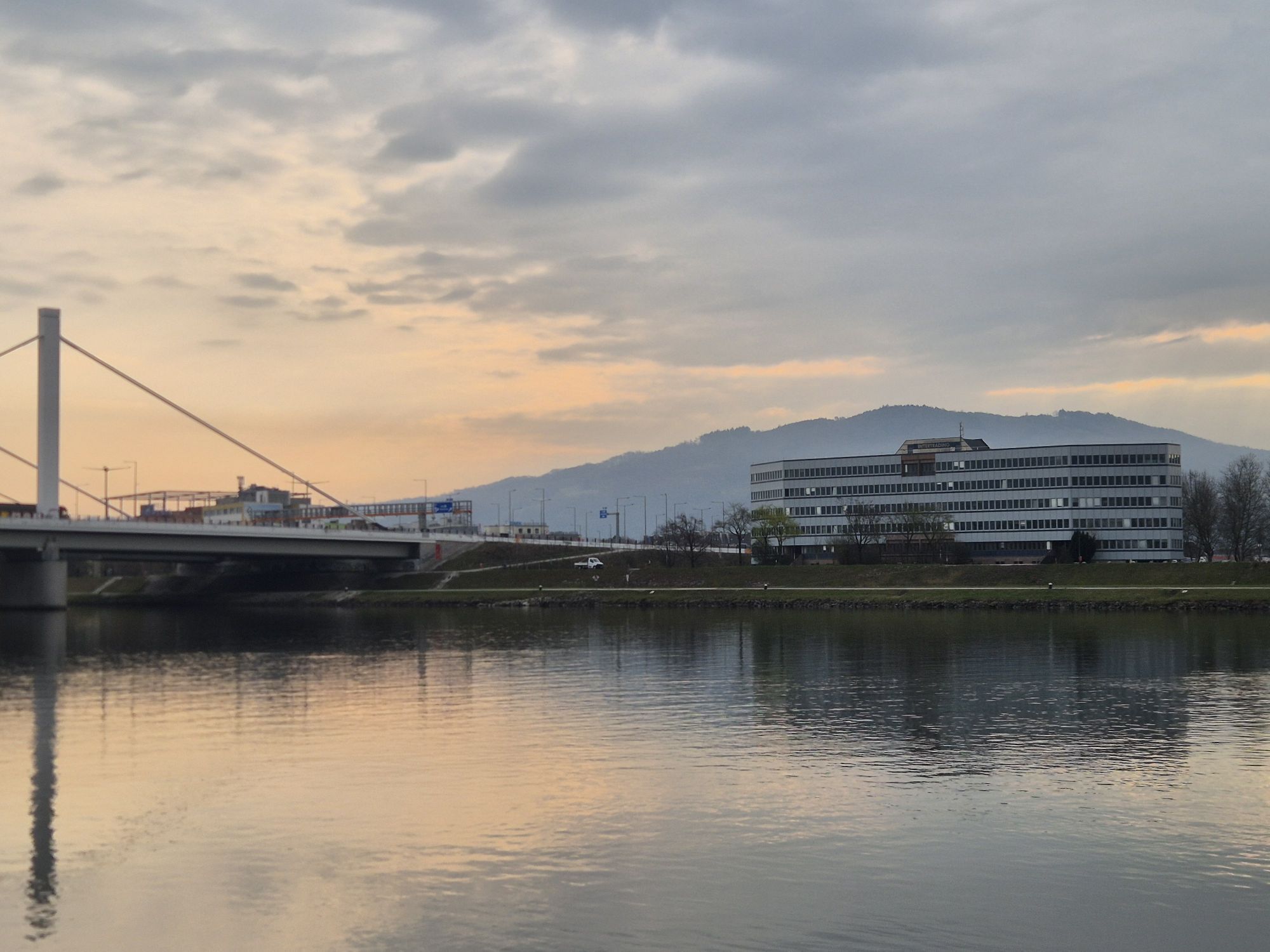
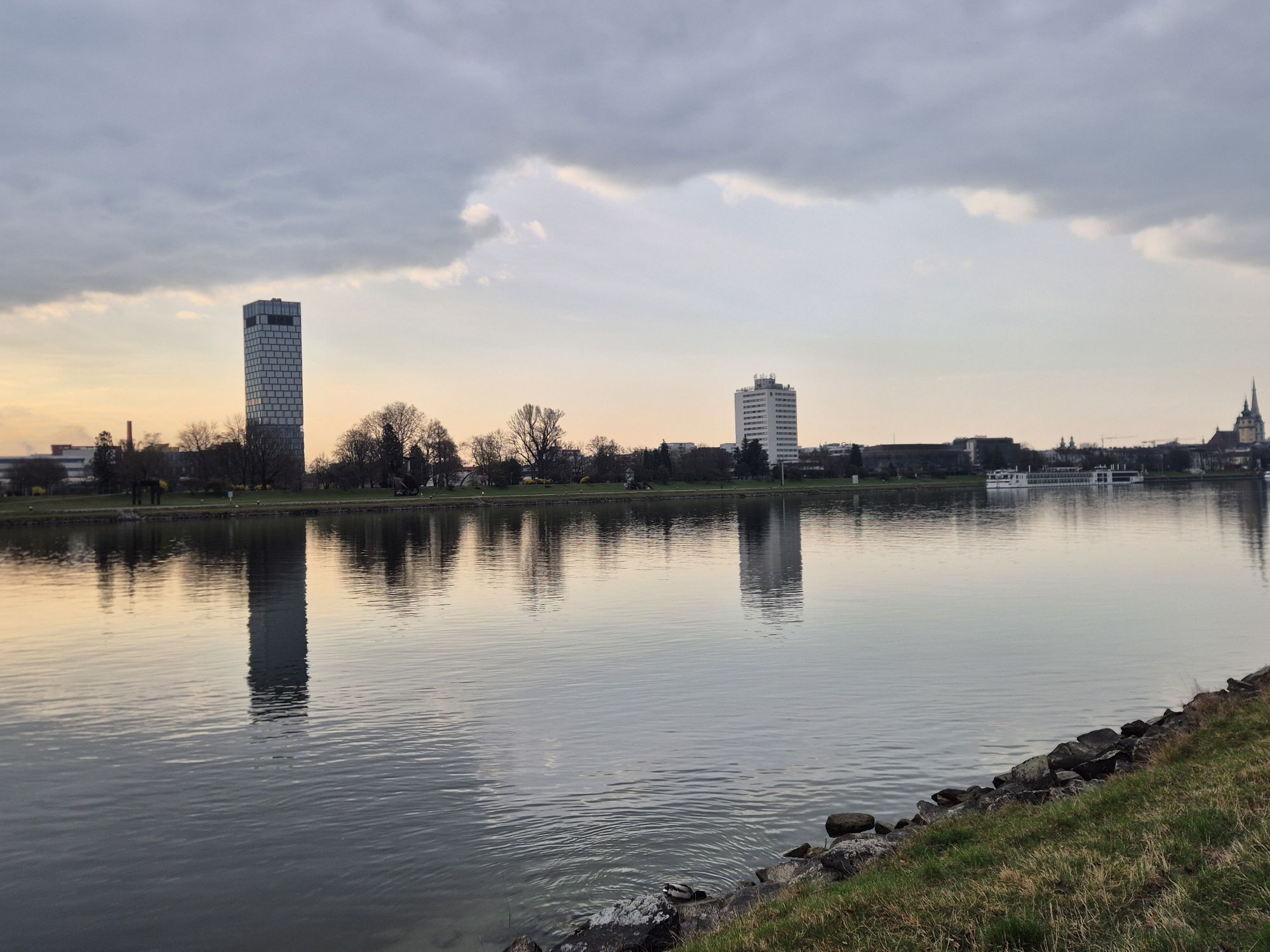
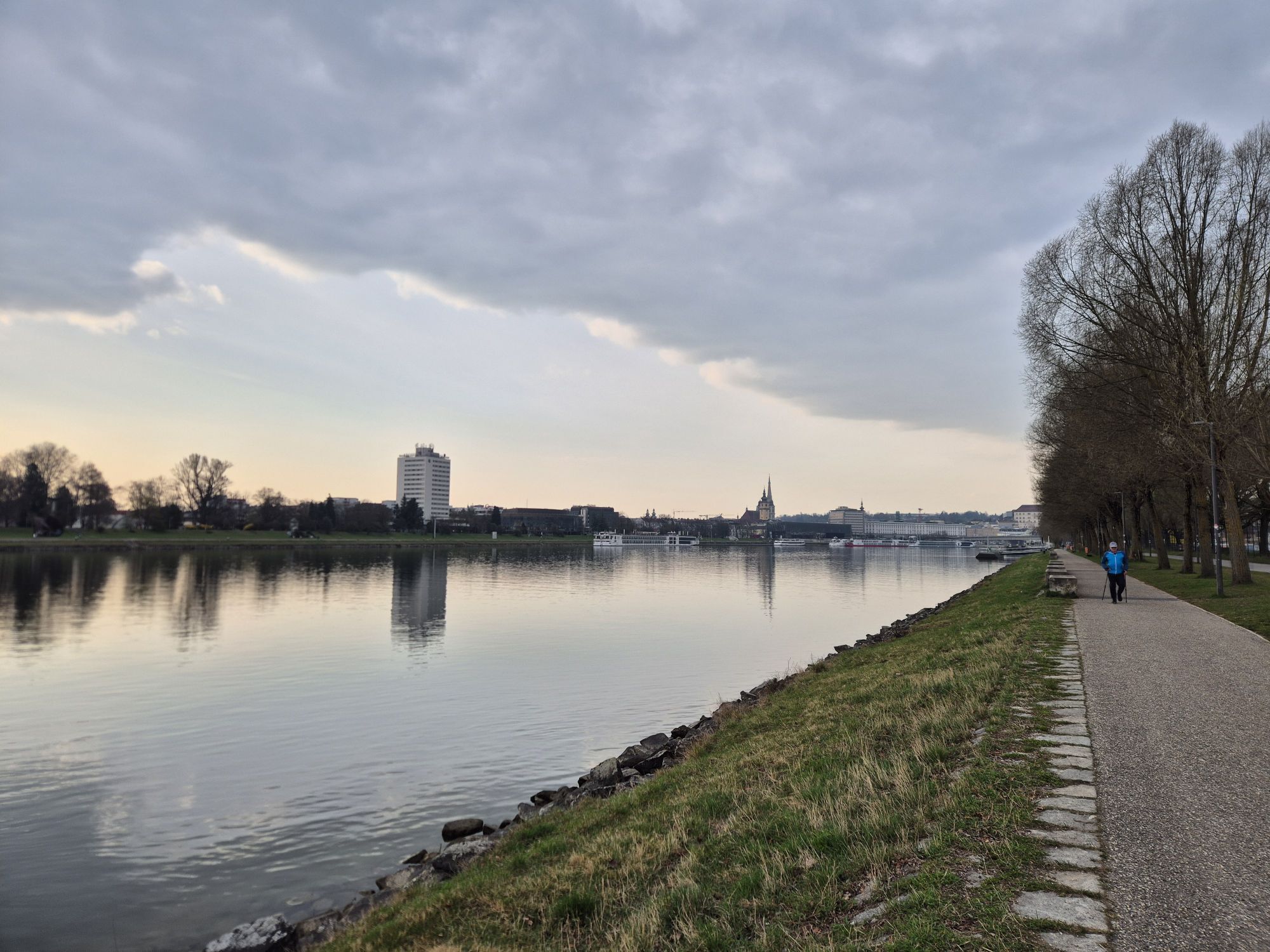
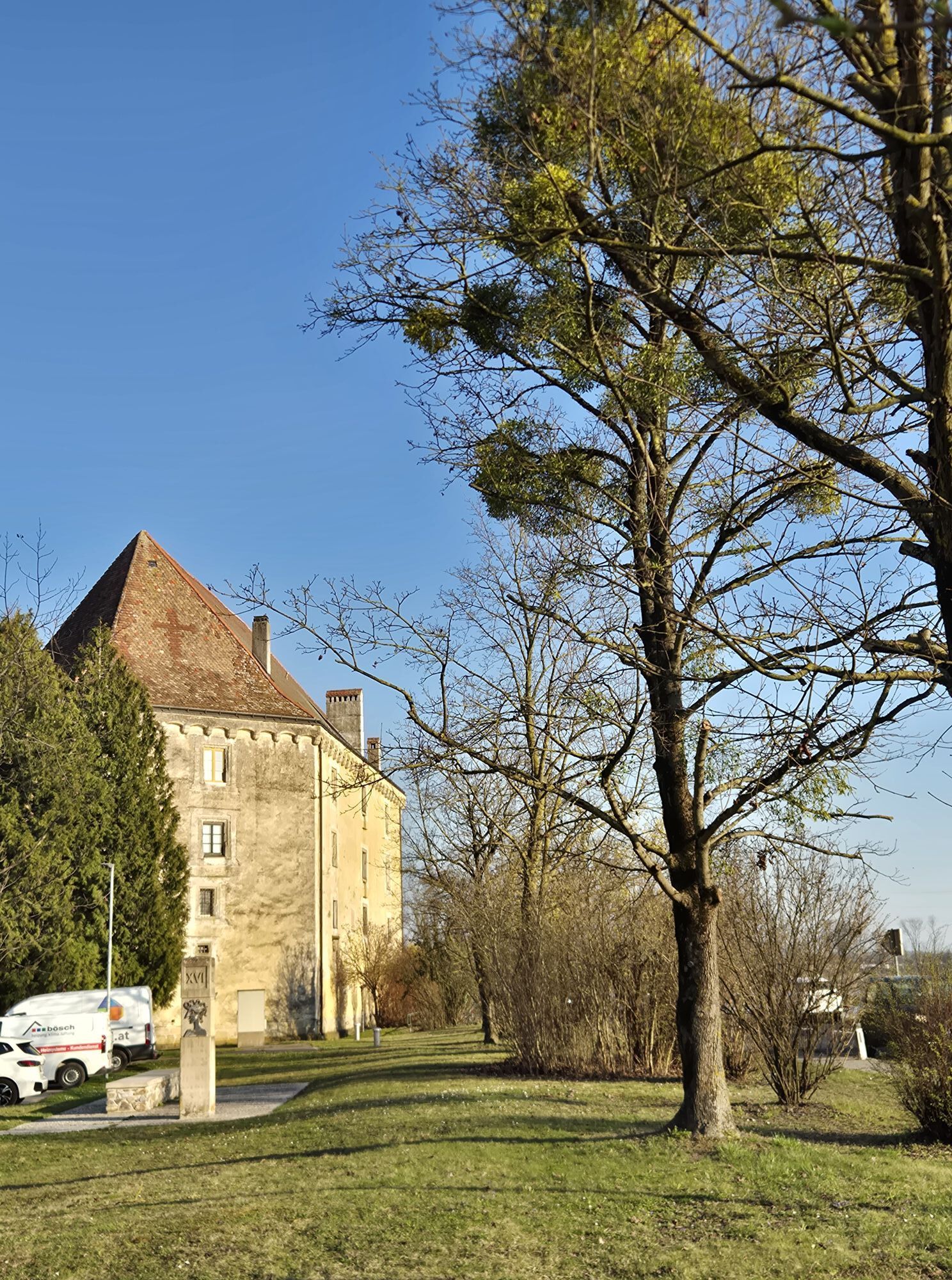
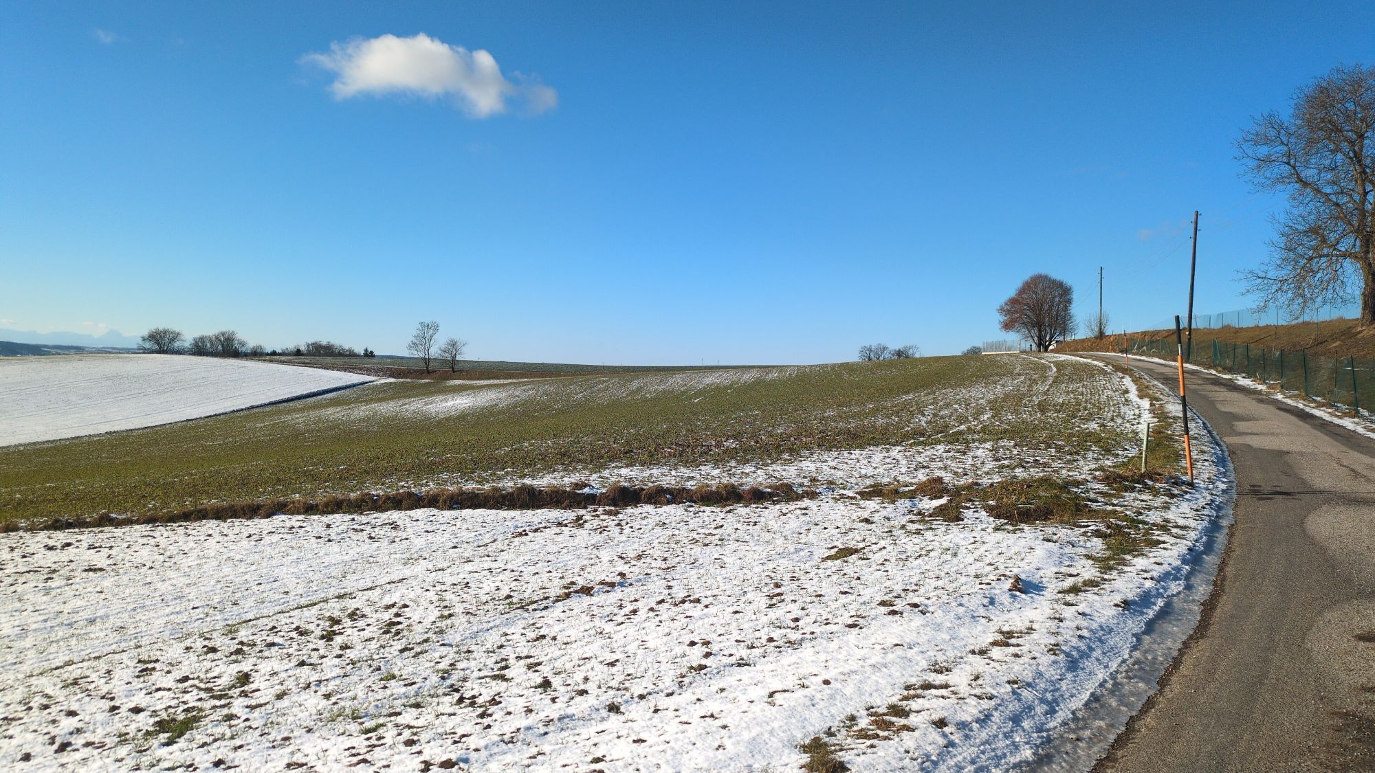
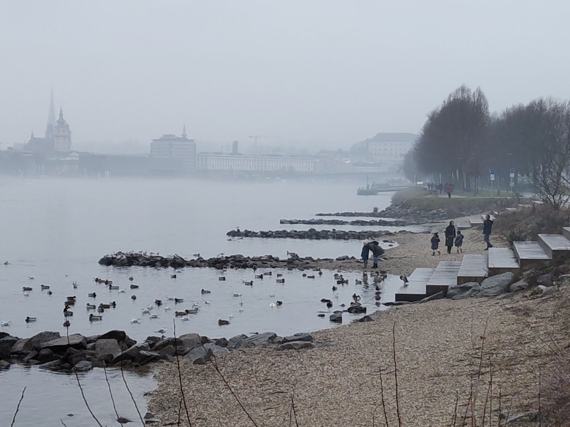
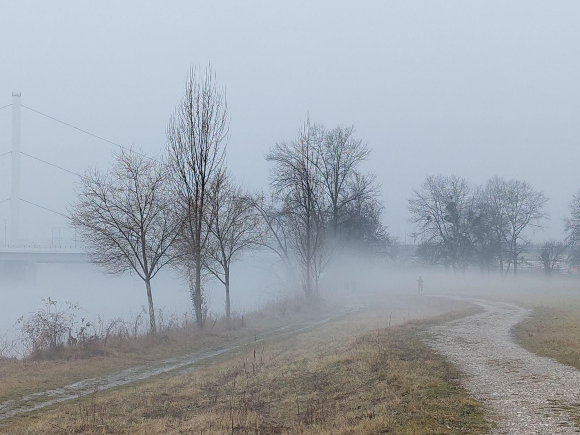
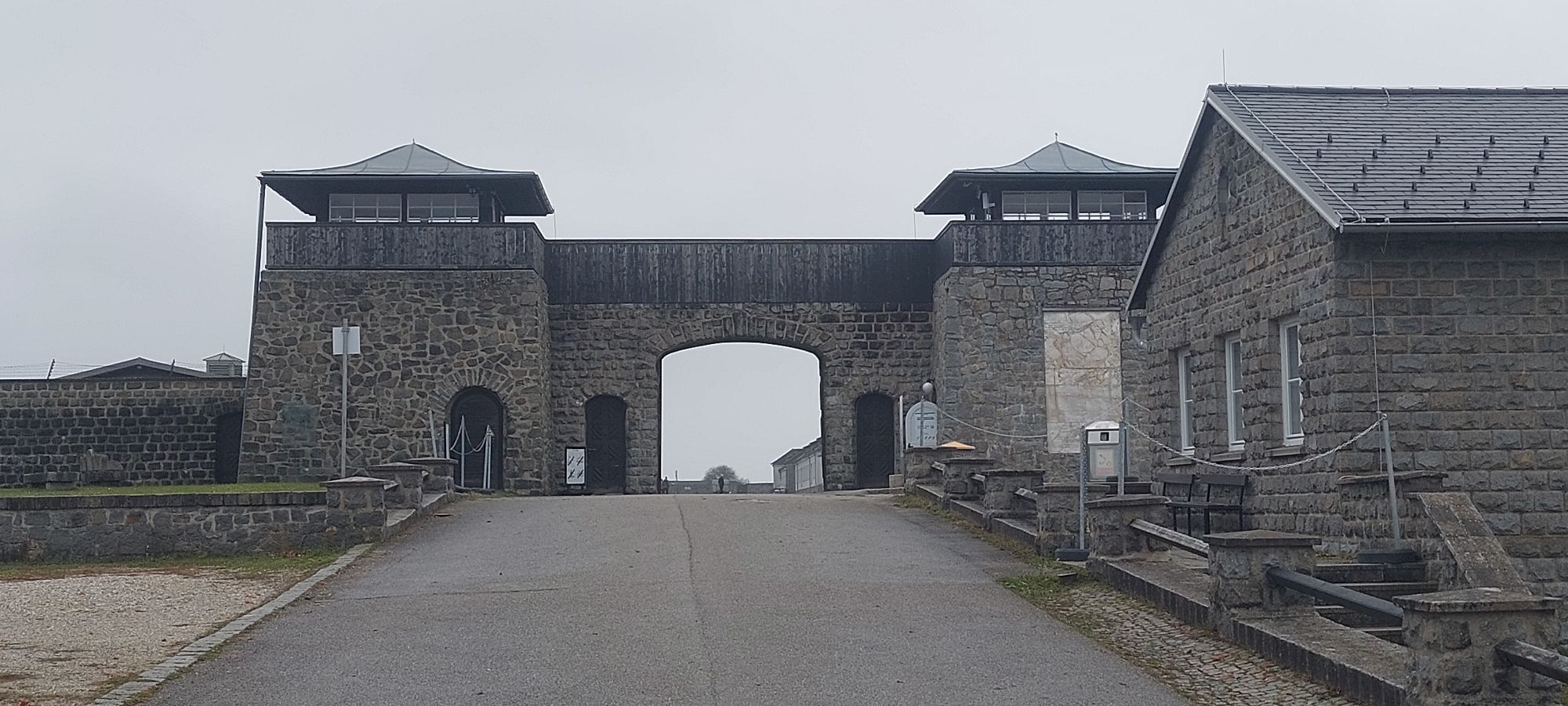
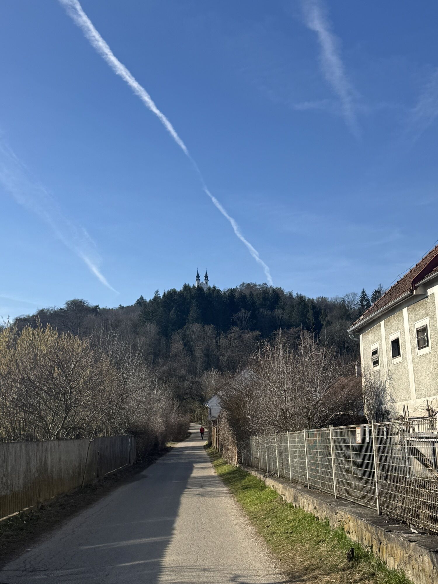
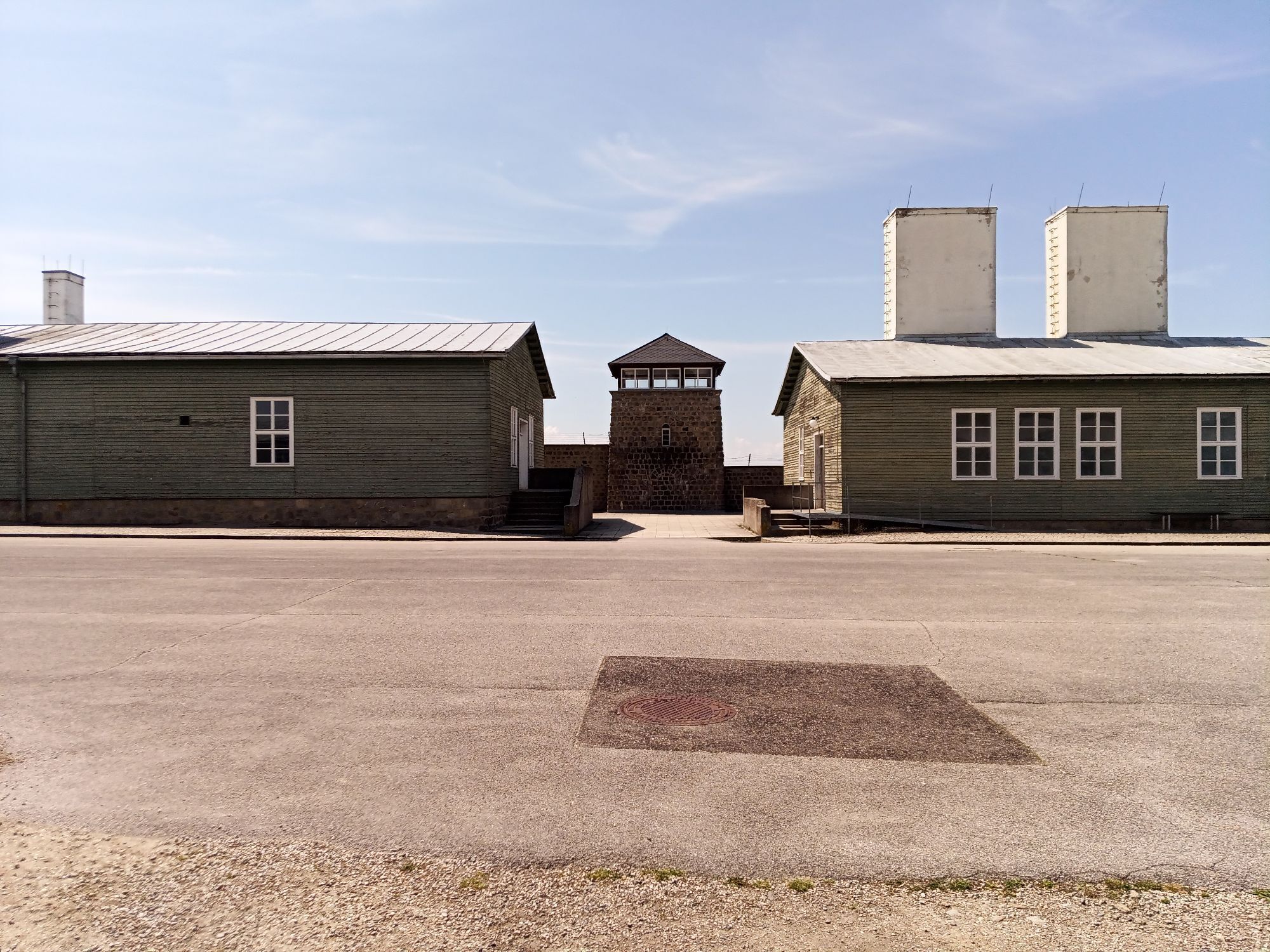
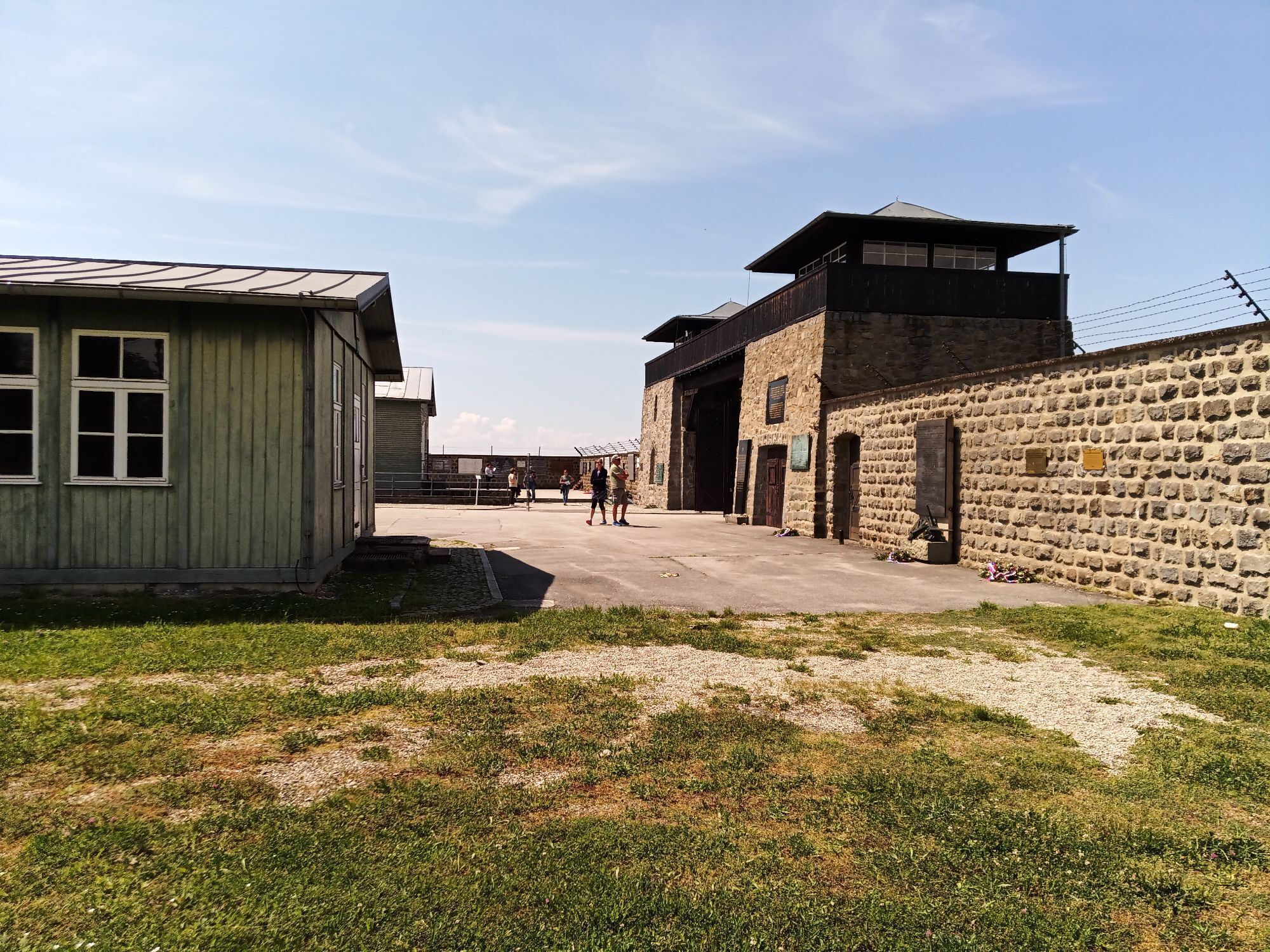
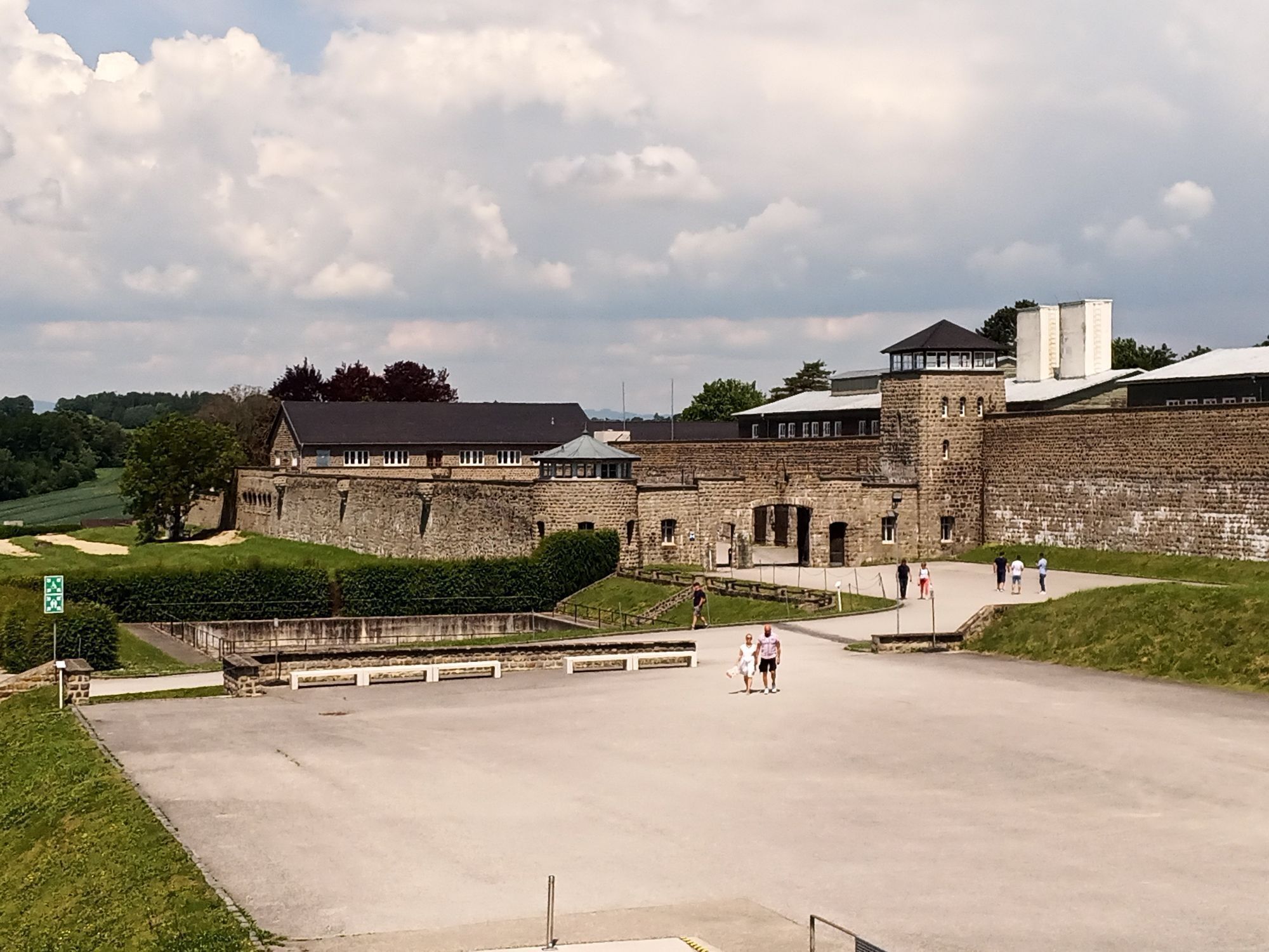
We start our fourth stage in the center of Mauthausen and walk in a north-westerly direction to the Mauthausen Memorial. With a queasy feeling, we walk downhill via the so-called "Todesstiege" (currently...
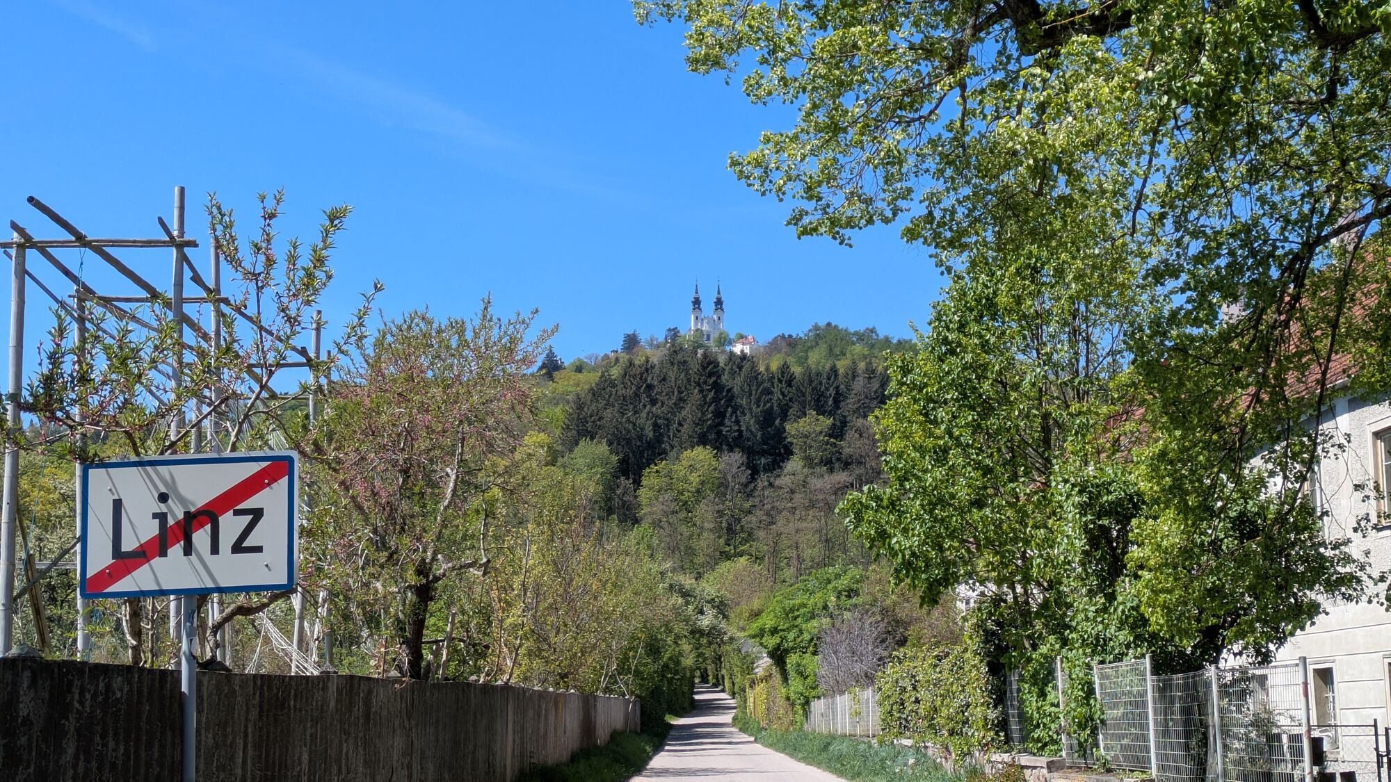
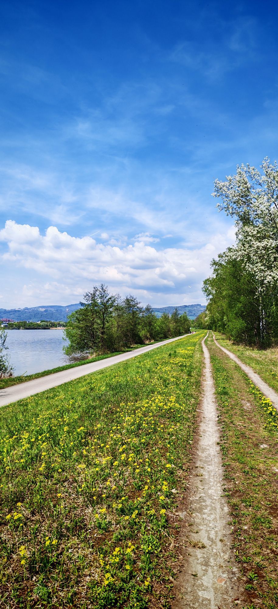
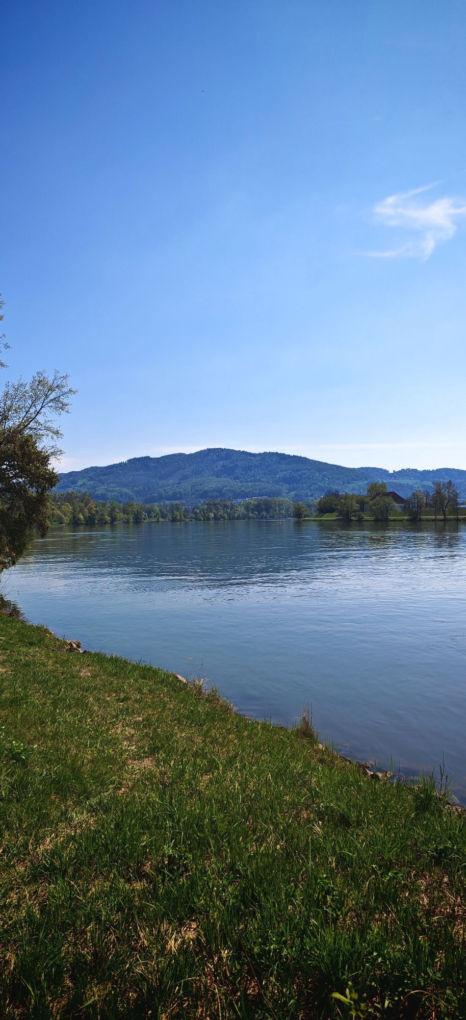
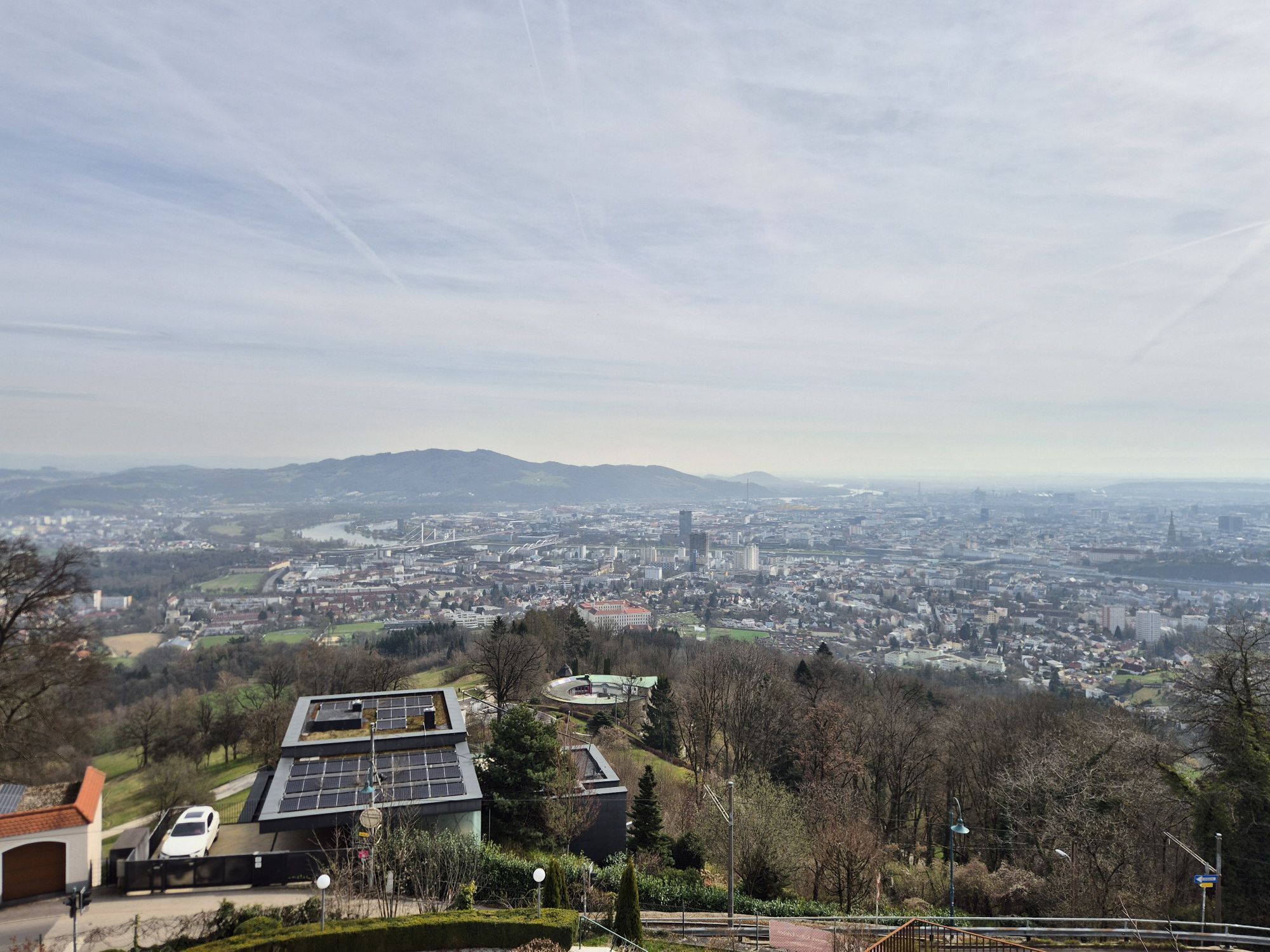
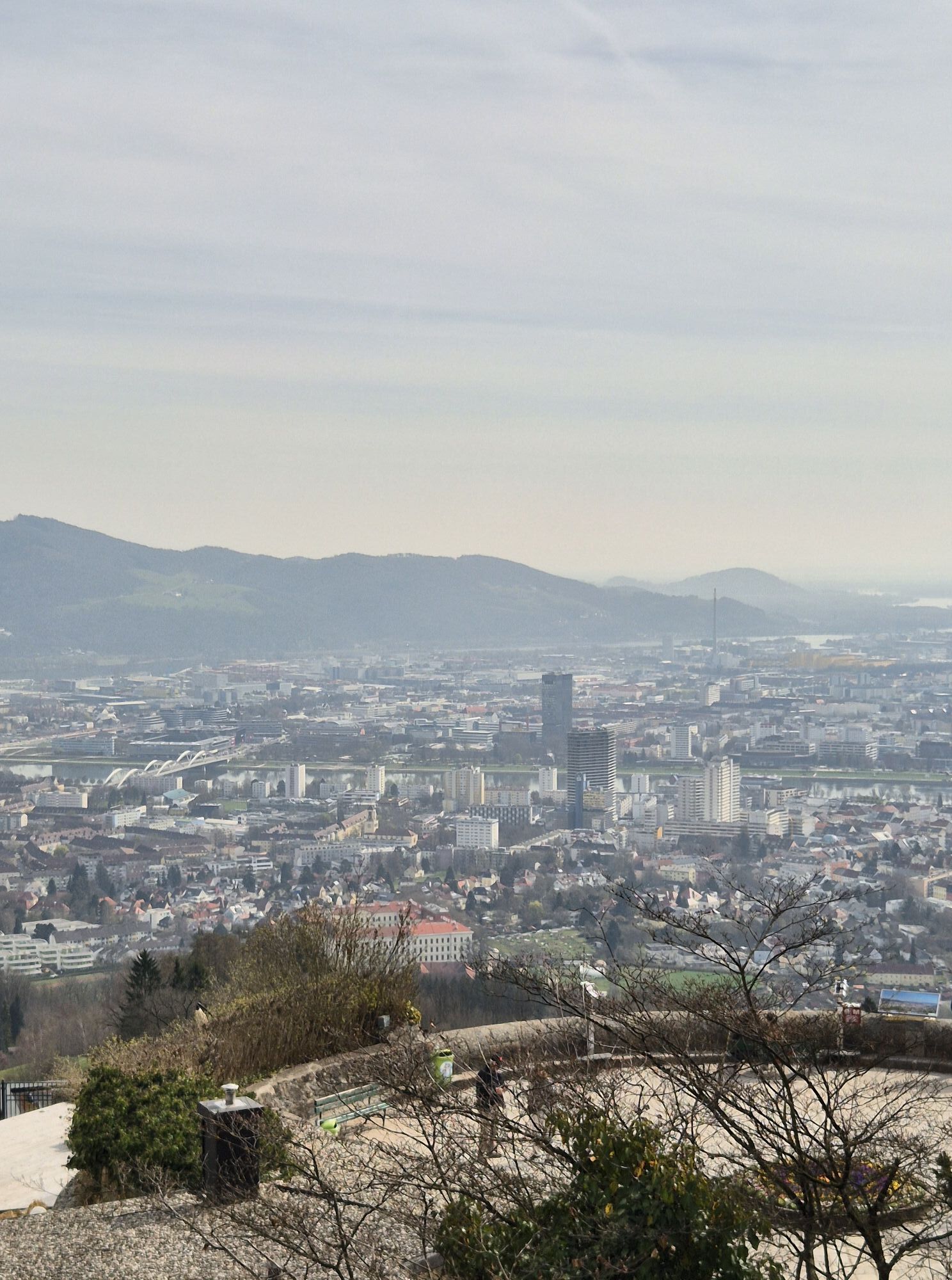
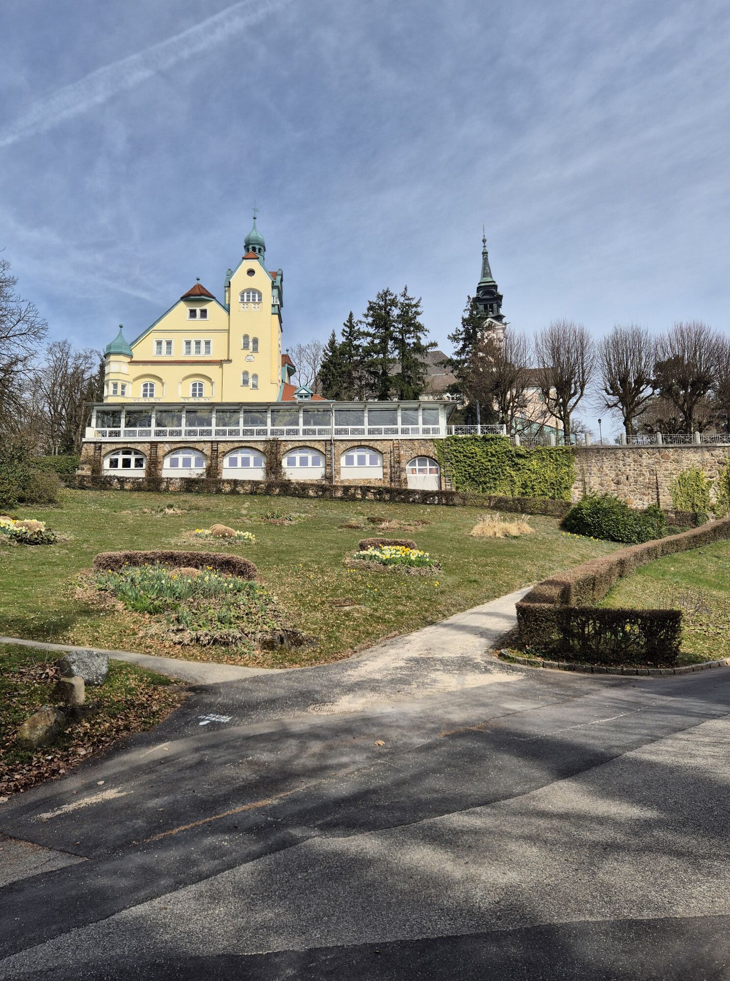
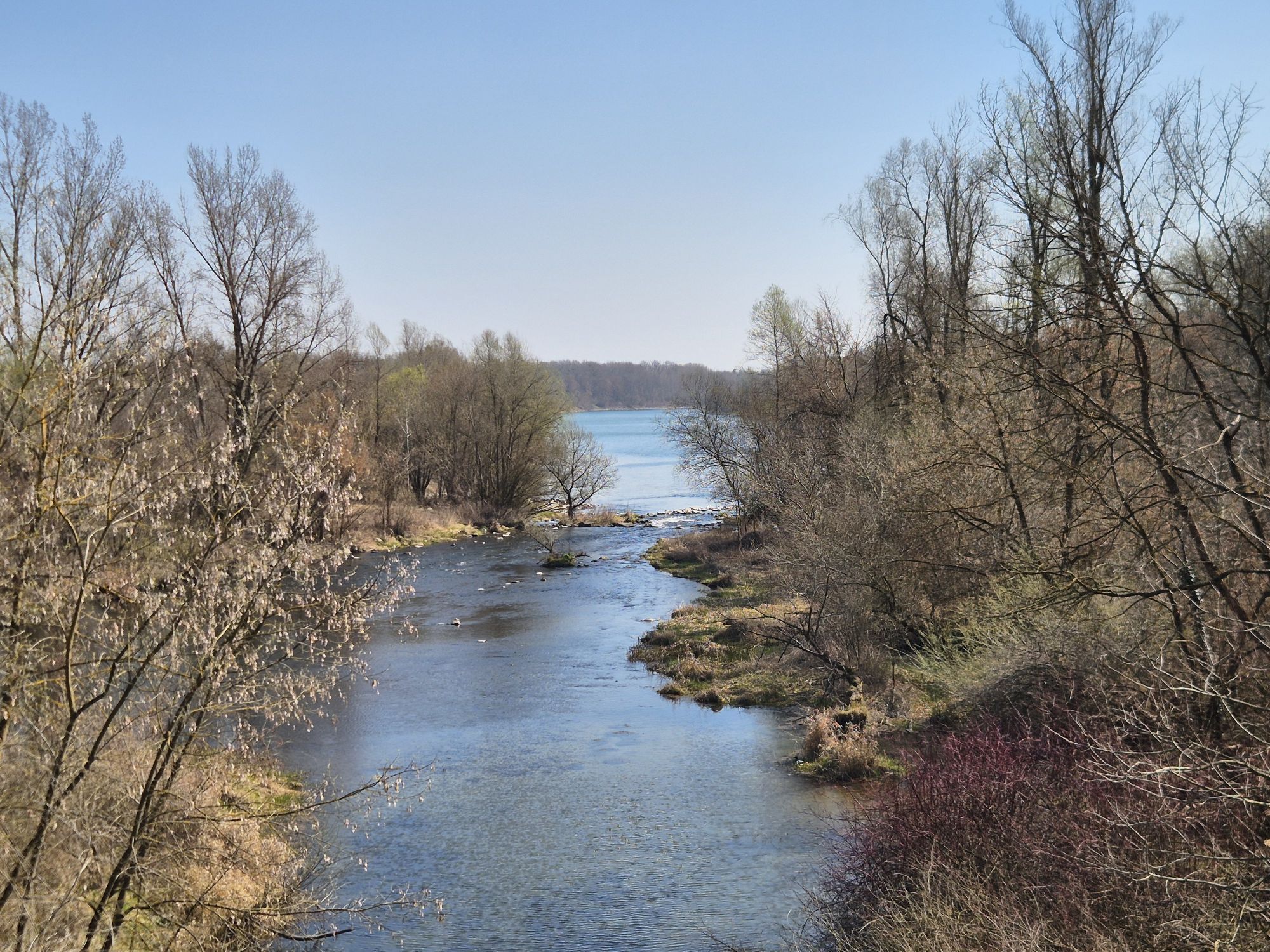
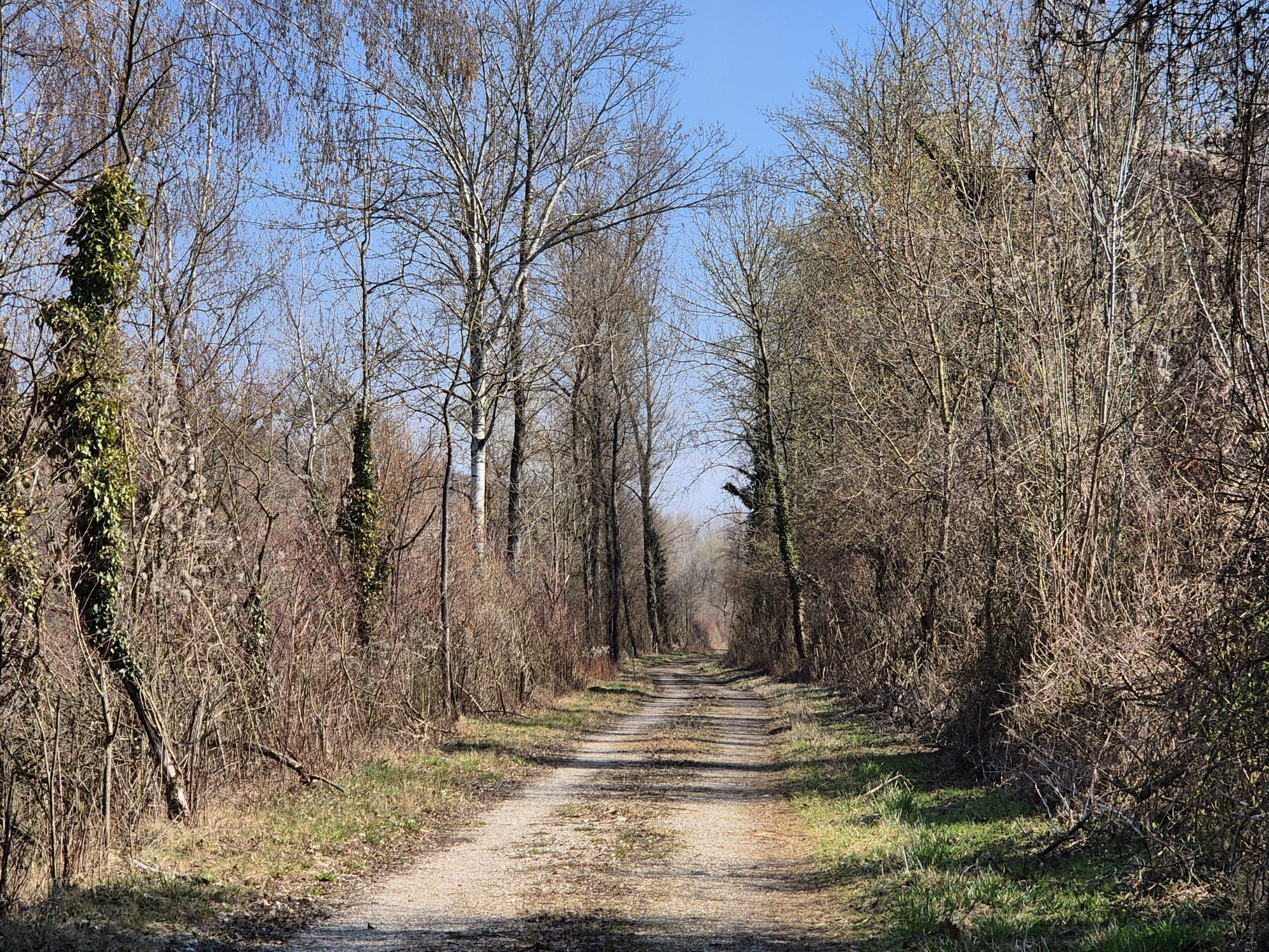
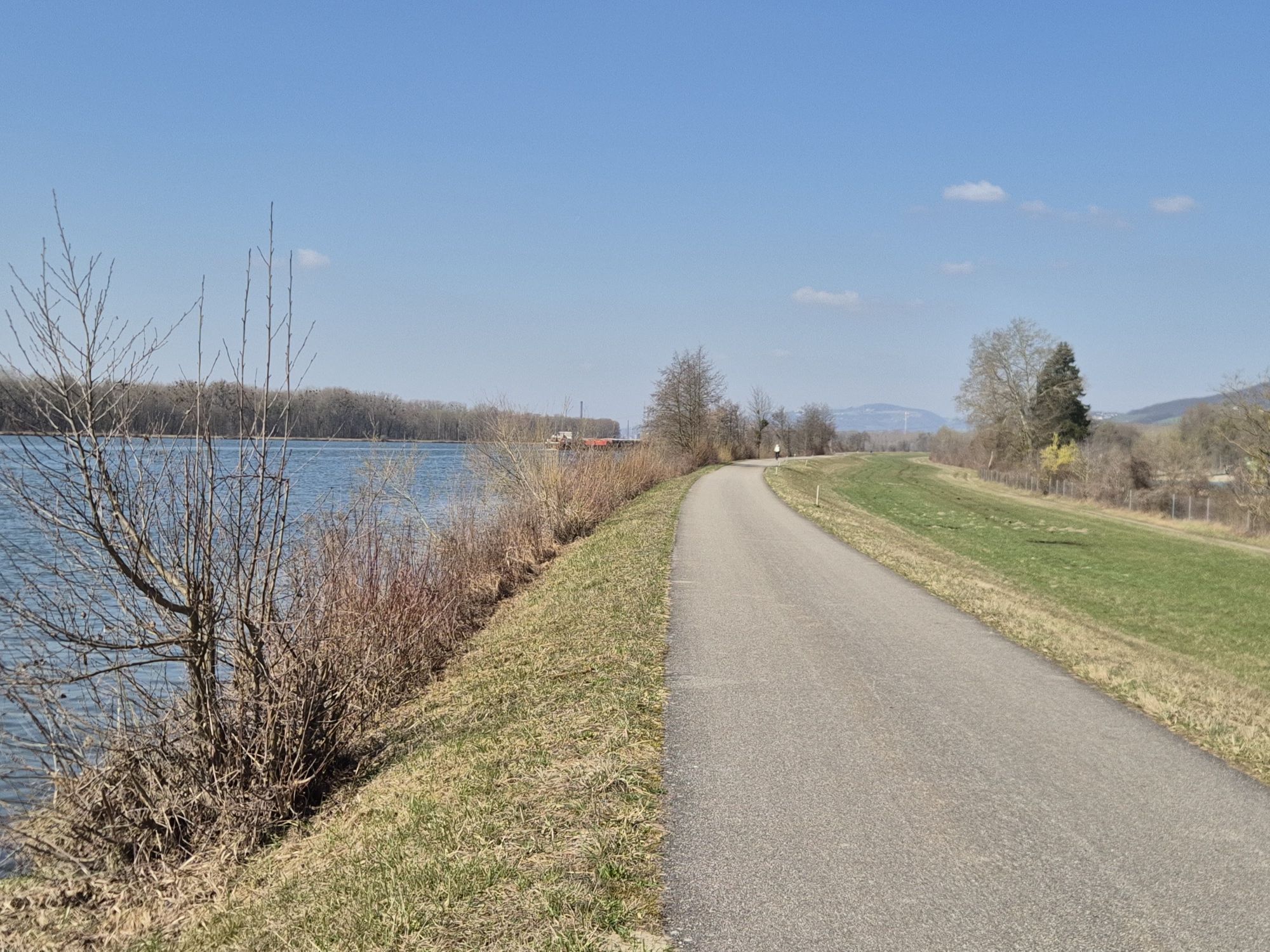
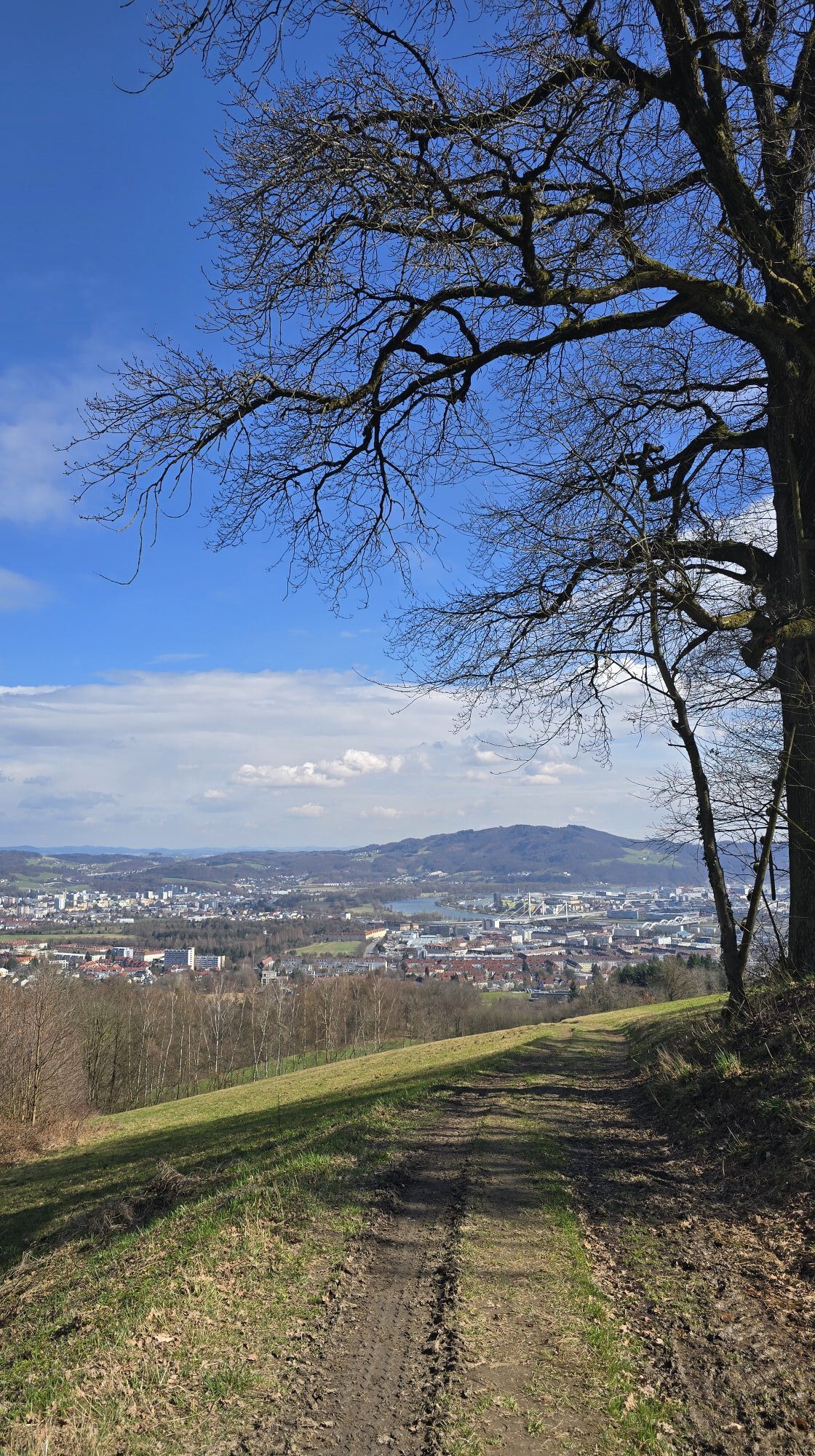
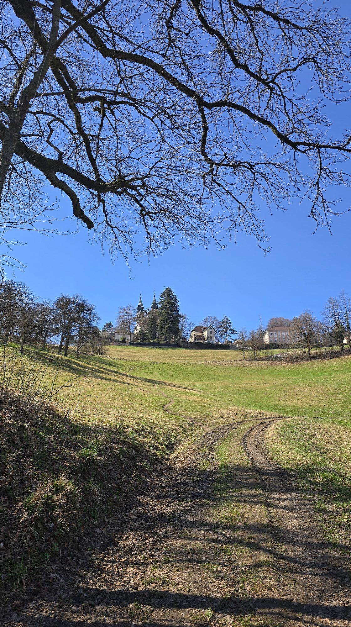
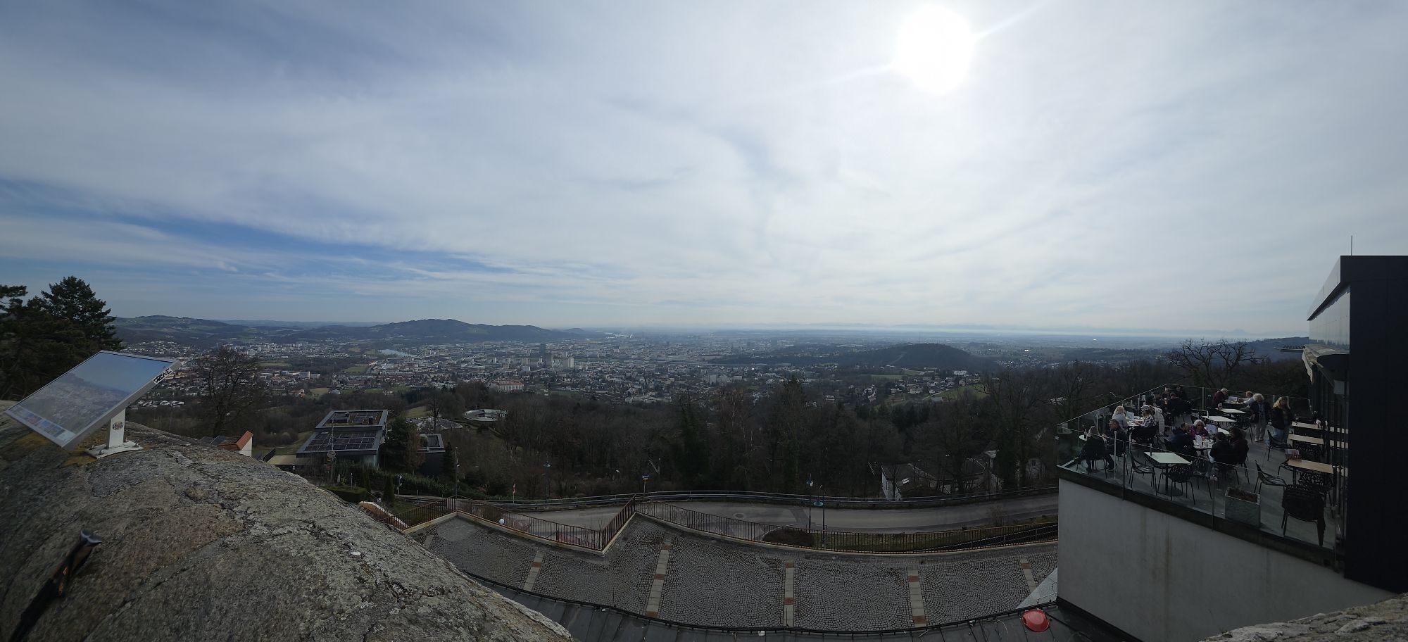
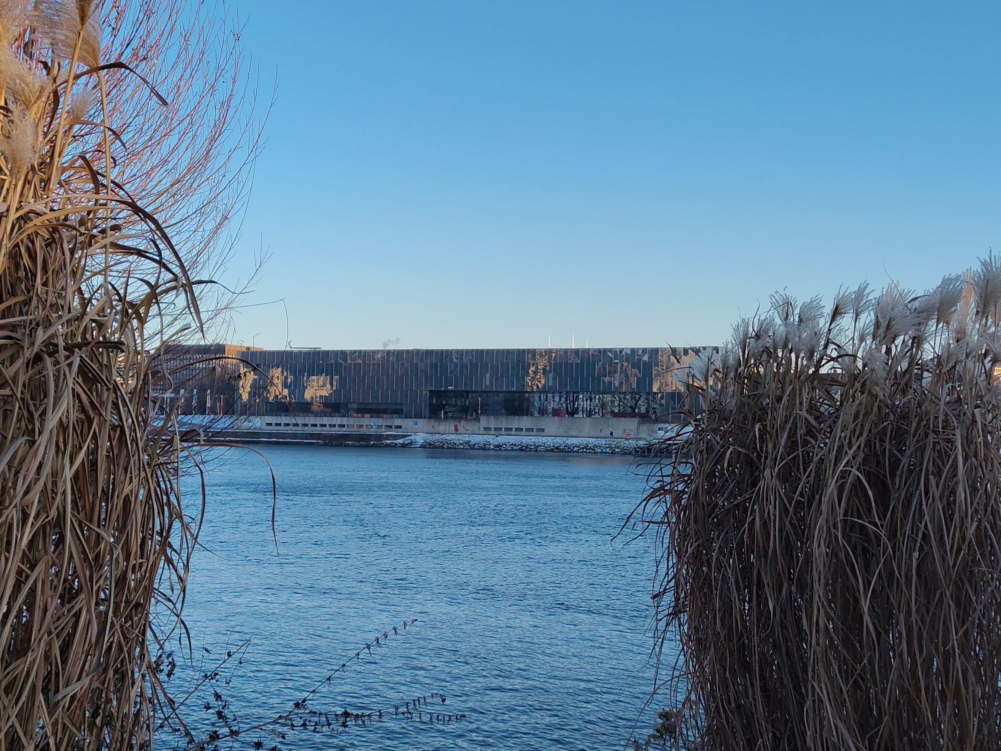
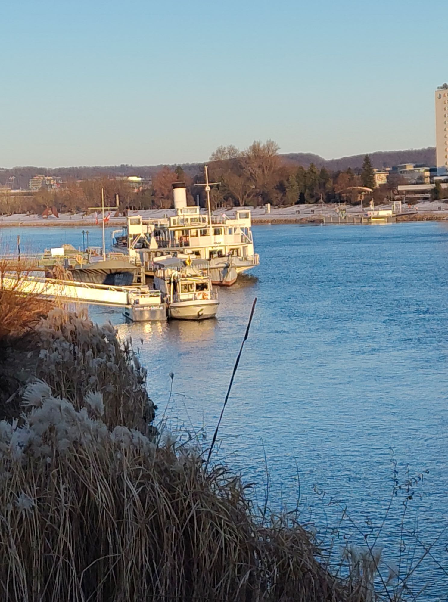
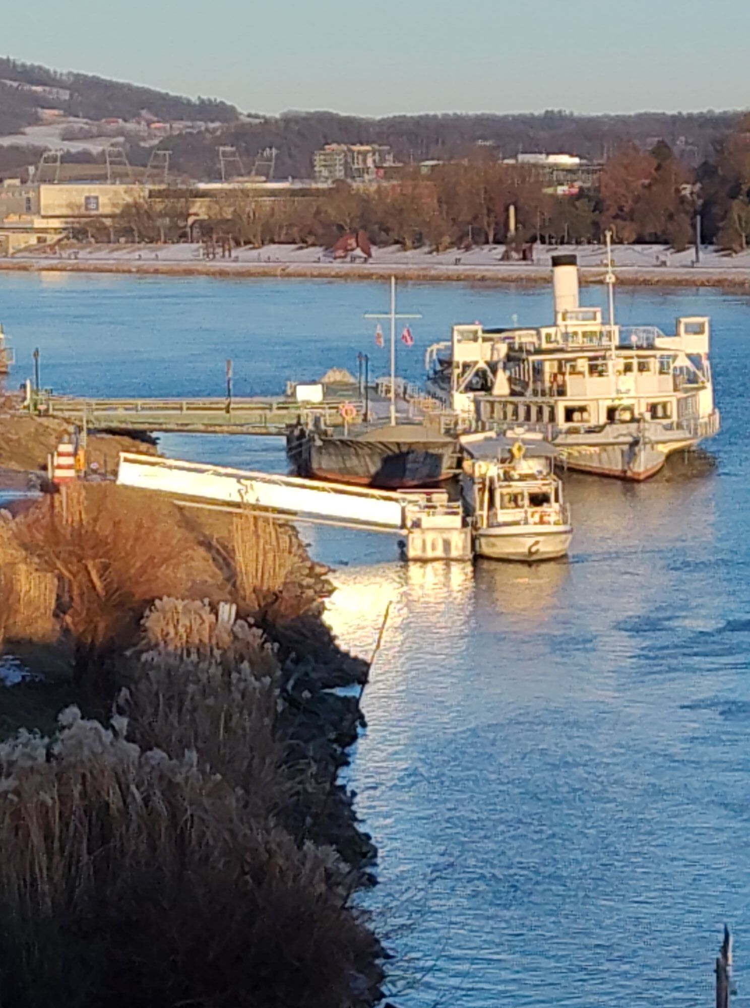
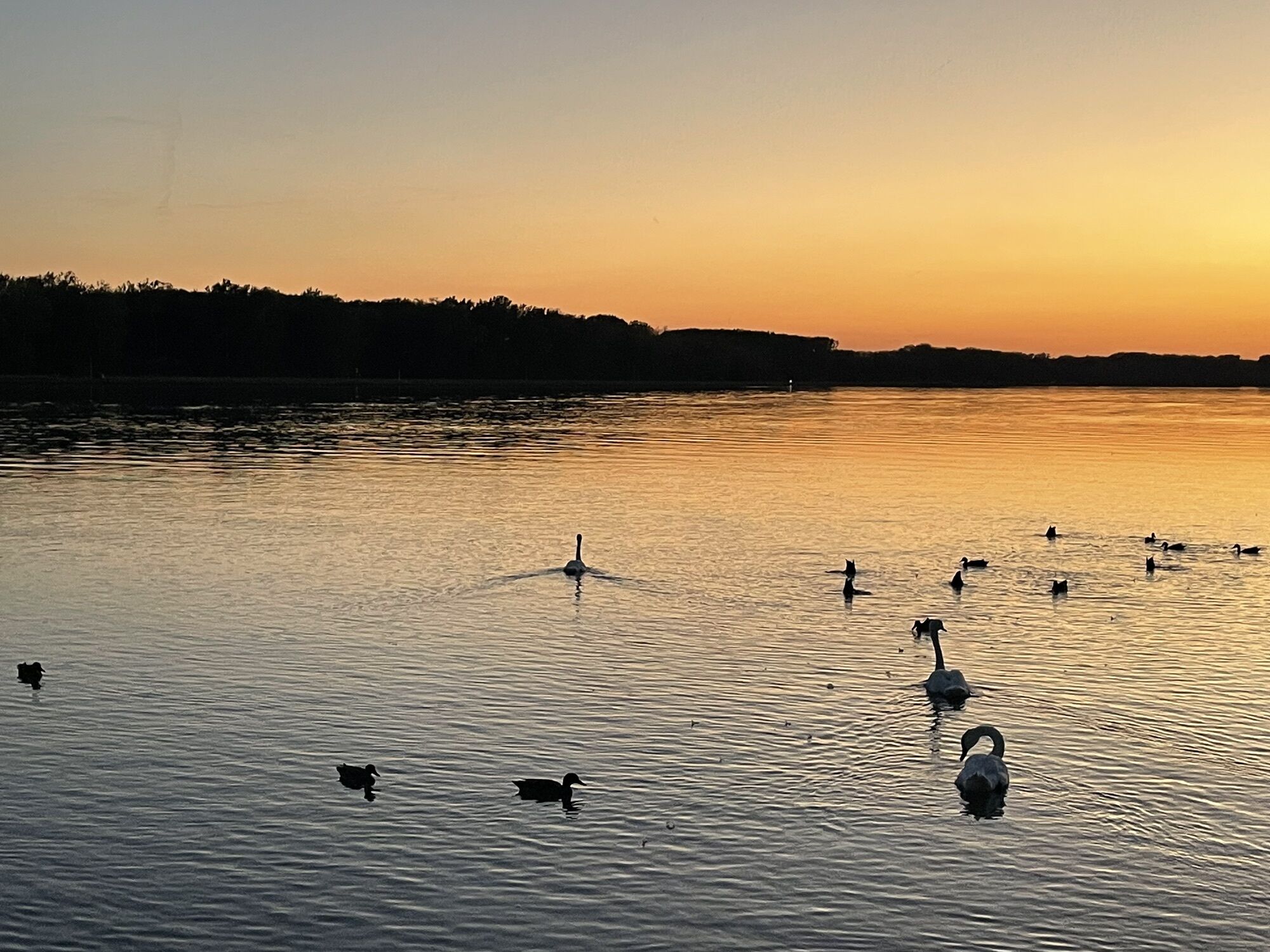
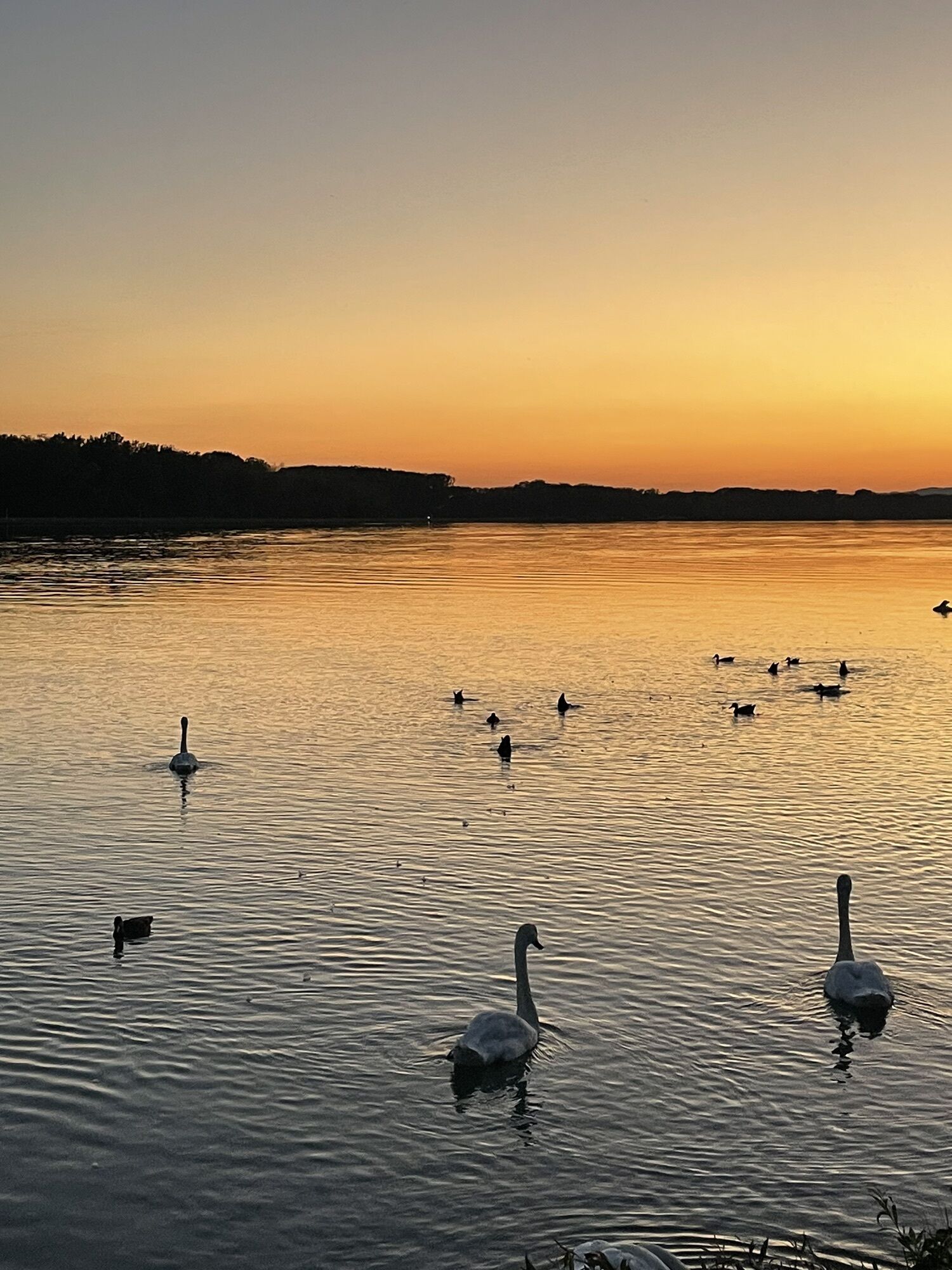
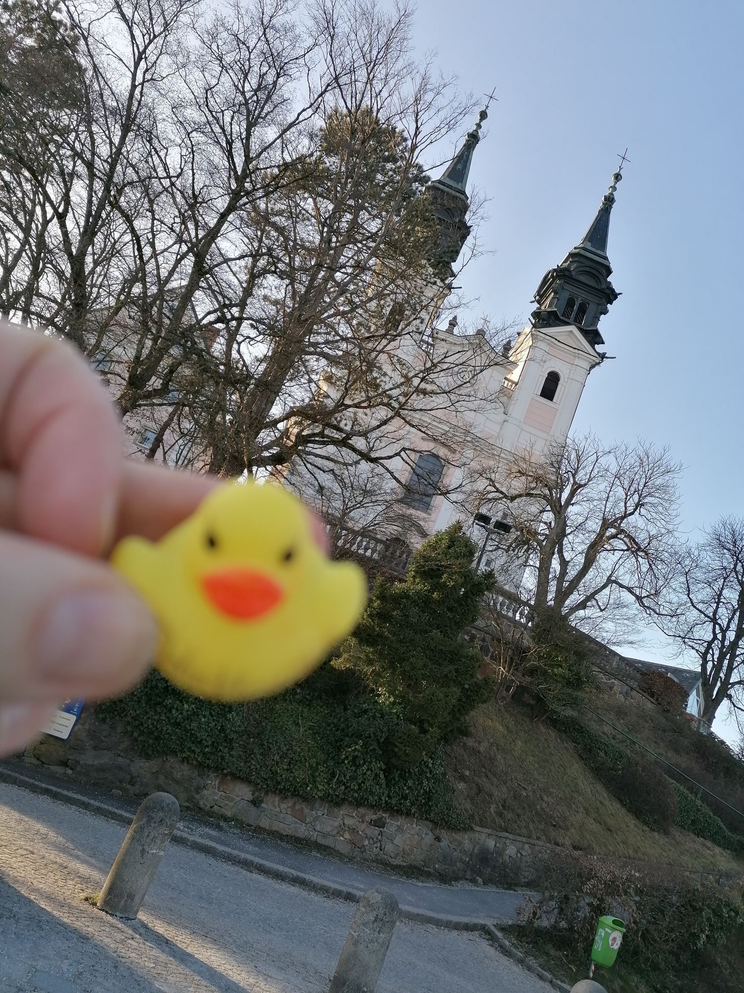
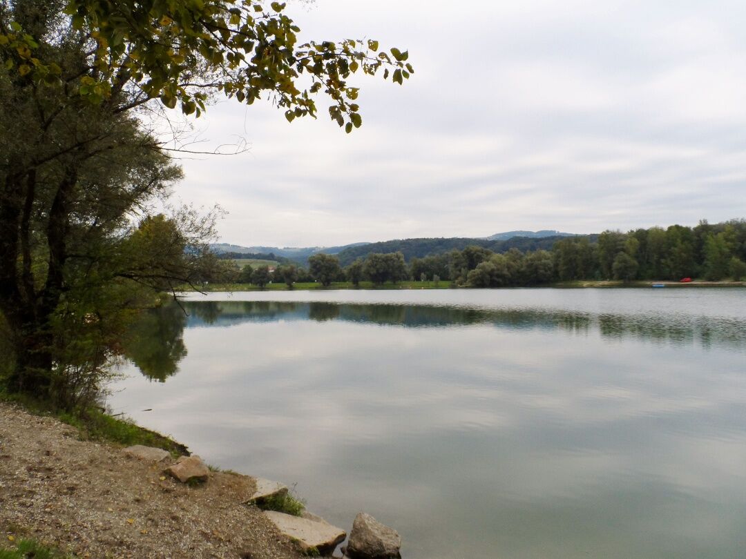
We start our fourth stage in the center of Mauthausen and walk in a north-westerly direction to the Mauthausen Memorial. With a queasy feeling, we walk downhill via the so-called "Todesstiege" (currently closed) at the former concentration camp to the quarry and on to St. Georgen an der Gusen (however, access to the quarry is unrestricted via the "Wiener Graben" access road). At Abwinden we meet the Danube cycle path, which we follow over a bridge down to the banks of the Danube. From now on, we stay on the Danube cycle path for the rest of the route, or those who are particularly fit can make a detour to the medieval town of Steyregg. Steyregg Castle, perched on a prominent rock, was probably built as early as 1150 and the town gate or Seilertor also dates back to the Middle Ages. The baroque parish church of St. Stephan lies to the west of the medieval town center. Continuing along the Danube, you pass the Pleschinger See lake and from there you can even see the destination of the fourth stage - the pilgrimage church on the Pöstlingberg.

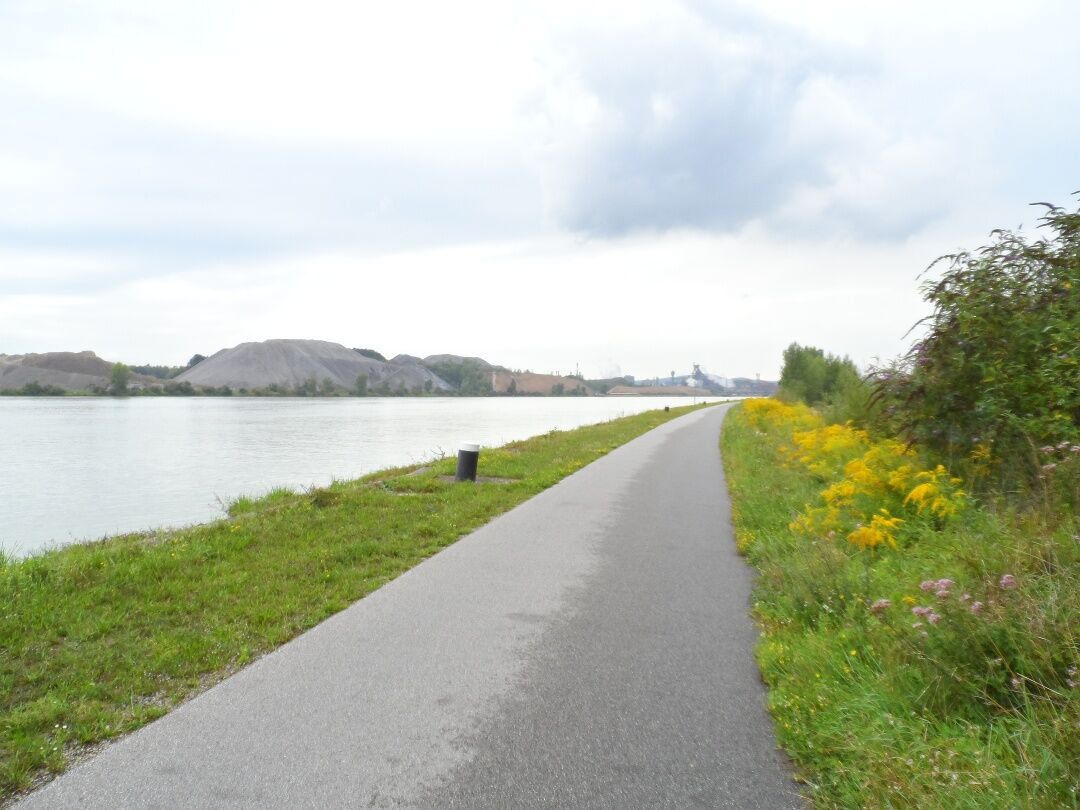

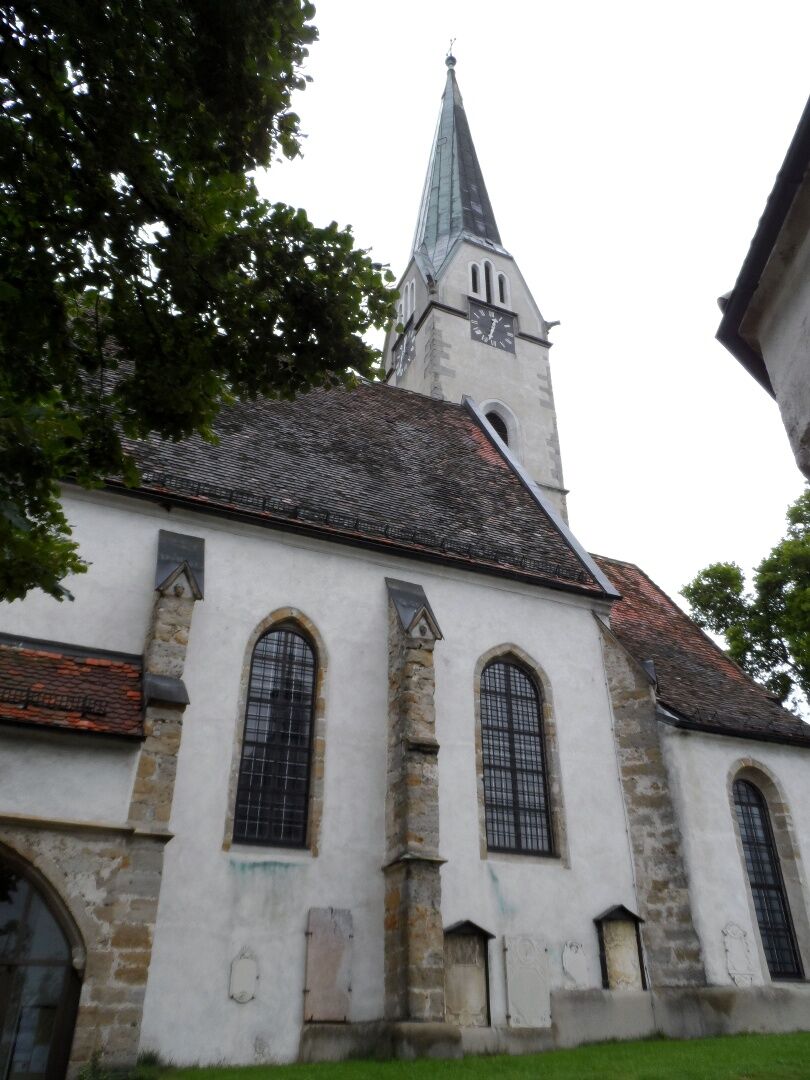
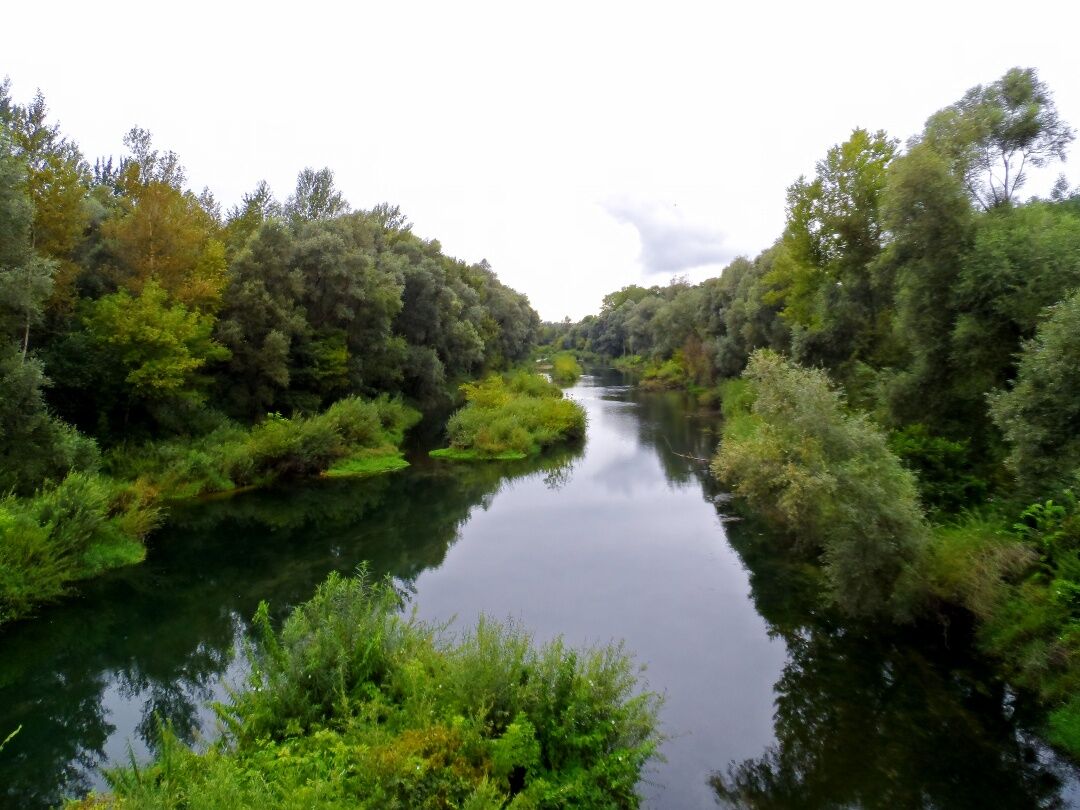
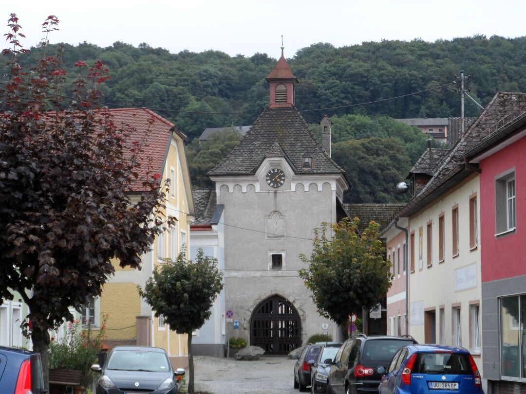
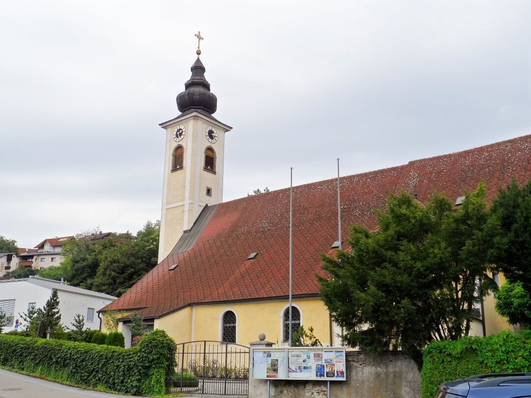
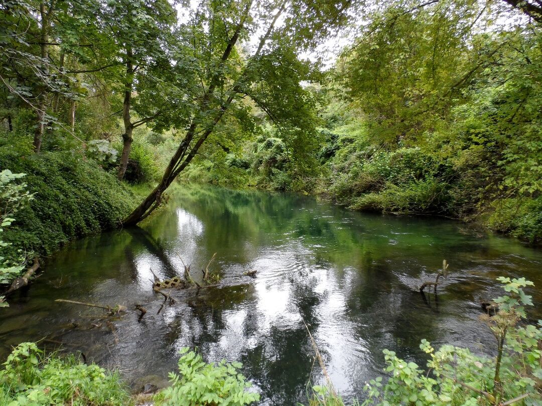
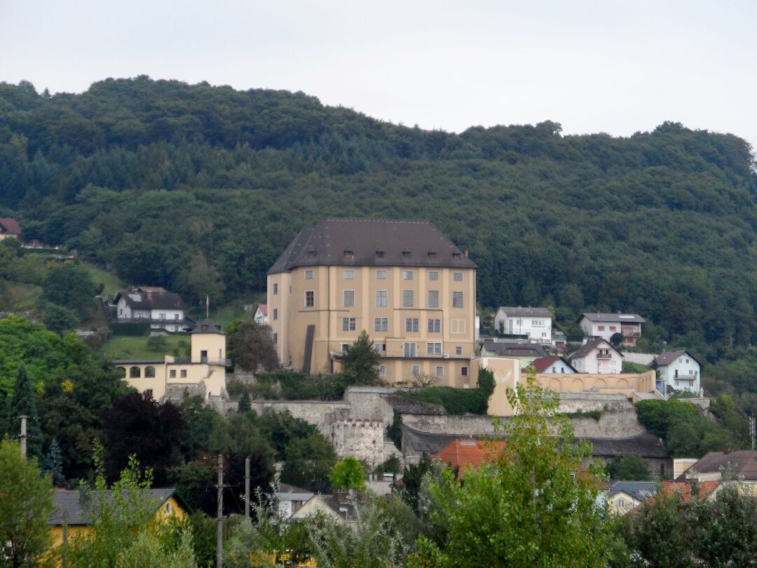
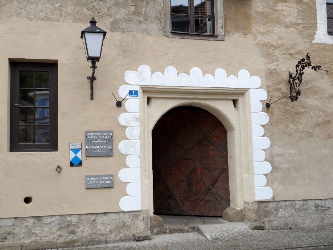

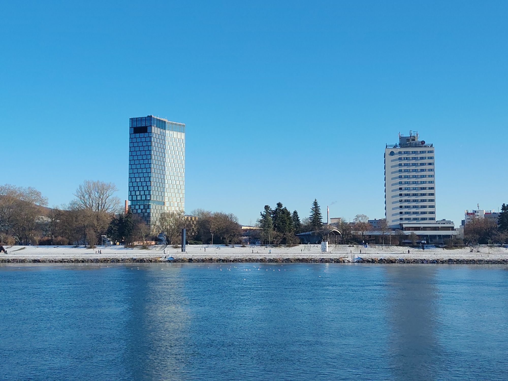
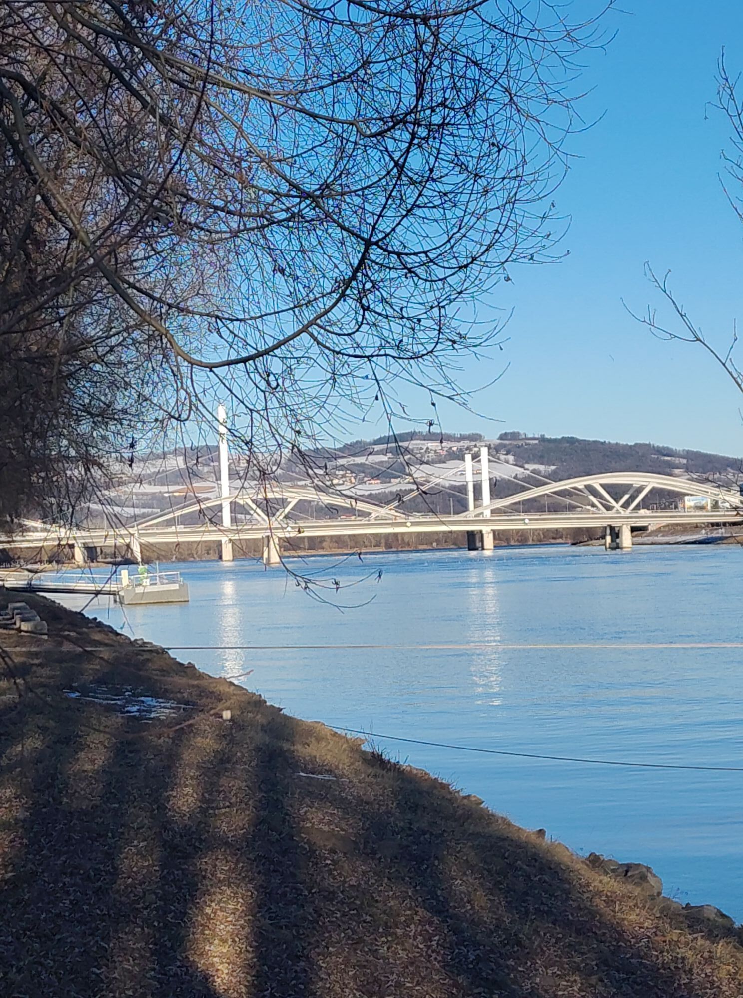
From the Mauthausen Memorial we take the “Death Staircase” to the quarry and from there meet the memorial path. We follow it left, first southwards, then westwards to a wayside shrine where the memorial path turns left, but we continue straight ahead. Passing some farms we reach the hamlet of Kirchberg, from where we go straight to St. Georgen. Then we continue along the Gusen Valley cycle path southwards to Abwinden, where we cross the Danube arm and reach the Danube Cycle Path. We hike upstream along the Danube Cycle Path to Steyregg. Here, we can either follow the Danube Cycle Path on to Linz or turn right into the Steyregg floodplains towards Steyregg. In the town center we find signs to the Danube circular hiking path, which we follow westwards past Obernbergen and Pfenningberg to the Pleschinger bathing lake. From Pfenningberg we also see the markings of the Danube Trail. Behind the bathing lake we meet the Danube Cycle Path again and follow it to the Nibelungen Bridge in Linz.
Coming from Salzburg, take the West Motorway to the Asten/St. Florian exit (160). Then drive on Mauthausener Str. (B1) to Ennsdorf and take the third exit in the roundabout onto B123. Cross the Danube bridge and turn left towards Mauthausen.
From Linz main train station, there is a direct bus connection (bus no. 361) to Mauthausen.
There is a large parking lot directly at the entrance to Mauthausen (in front of Pragstein Castle).
Mostviertel Tourismus GmbH
Töpperschloss Neubruck, Neubruck 2/10, 3283 Scheibbs
T +43/7482/20 444
info@mostviertel.at , www.mostviertel.at
Upper Austria Tourism Information
Freistädter Straße 119, 4041 Linz
info@oberoesterreich.at
www.wandern.at
Useful maps:
ÖK 4322 Pöchlarn, ÖK 4327 Amstetten, ÖK 4328 Scheibbs,
ÖK 4203 Waidhofen, ÖK 4204 Lunz
All at scale 1:50,000 (also available enlarged 1:25,000)
F&B hiking maps 052 Mostviertel (1:50,000),
Kompass hiking guide 1085 Way of St. James
Important phone numbers:
Alpine emergency: 140, International emergency: 112
Recommended literature:
Hiking guide Way of St. James Austria, www.kompass.at
On the Way of St. James through Austria, www.tyrolia-verlag.at
Pilgrimage routes, www.kral-verlag.at
Pilgrimage routes to Mariazell – West + South volume, www.styriabooks.at
Kamery internetowe z trasy
-
Puchenau
-
Linz/Pöstlingberg
-
Linz / Donau
-
Linz - Arcotel Nike Linz
-
Golfclub Luftenberg
-
hello yellow Pumptrack/Velodrom
-
Pleschinger See
-
Pichlinger See
-
hello yellow Pumptrack/Velodrom
-
hello yellow Pumptrack/Velodrom
-
Puchenau
-
Puchenau Achleitnersiedlung
-
Puchenau Achleitnersiedlung
-
Ottensheim - Dürnberg
-
Leonding
-
See - Ausee Cable / Hohenlohe Ausee
-
Lift - Ausee / Hohenlohe Ausee
-
Lift - Ausee / Hohenlohe Ausee
-
See - Ausee Cable / Hohenlohe Ausee
Uzyskaj wgląd
Zawsze na żywo z ponad 9 500 kamer internetowych. bergfex Jako użytkownik Pro, możesz teraz zobaczyć odpowiednie kamery internetowe dla wielu wycieczek w aplikacji wycieczki od. Pozwala to na bezpośredni podgląd aktualnych warunków.

Popularne wycieczki w okolicy
-
4,7
Aisttalrundweg + P6
światłoWędrówka 9,36 km -
4,4
Wartberg Ob der Aist, Natura Aist Trail Rundwanderung
światłoWędrówka 8,37 km -
4,7
Prinzensteig Rundweg
światłoWędrówka 13,7 km -
4,4
Linz: City Hiking Trail Pöstlingberg
średniWędrówka 7,71 km -
4,7
Steyregg Donau-Höhen-Rundwanderweg Pulgarn - Hohenstein (und zurück)
światłoWędrówka 7 km -
4,7
Unterweitersdorfer Sagenweg
światłoWędrówka 5,87 km -
4,7
Steyregg Pfenningberg-Gipfelwanderweg
średniWędrówka 4 km -
5,0
Steyregg AV 50 Plesching - GH Daxleitner
światłoWędrówka 4 km -
4,1
Donausteig stage 3_S05 Wilhering - Linz: “Over the Prinzensteig through the Linz Gate”
średnidługodystansowy szlak pieszy 13,2 km -
4,9
Kreuzweg auf den Pöstlingberg Linz, Österreich
światłoWędrówka 1,30 km
Wędrówki i tropienie


Nie przegap ofert i inspiracji na następne wakacje
Twój adres e-mail została dodana do listy mailingowej.





