







Donausteig stage 3_S05 Wilhering - Linz: “Over the Prinzensteig through the Linz Gate”
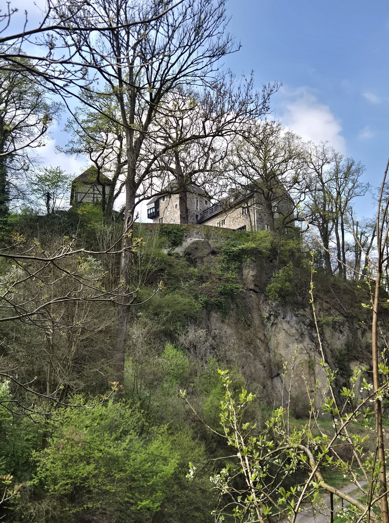
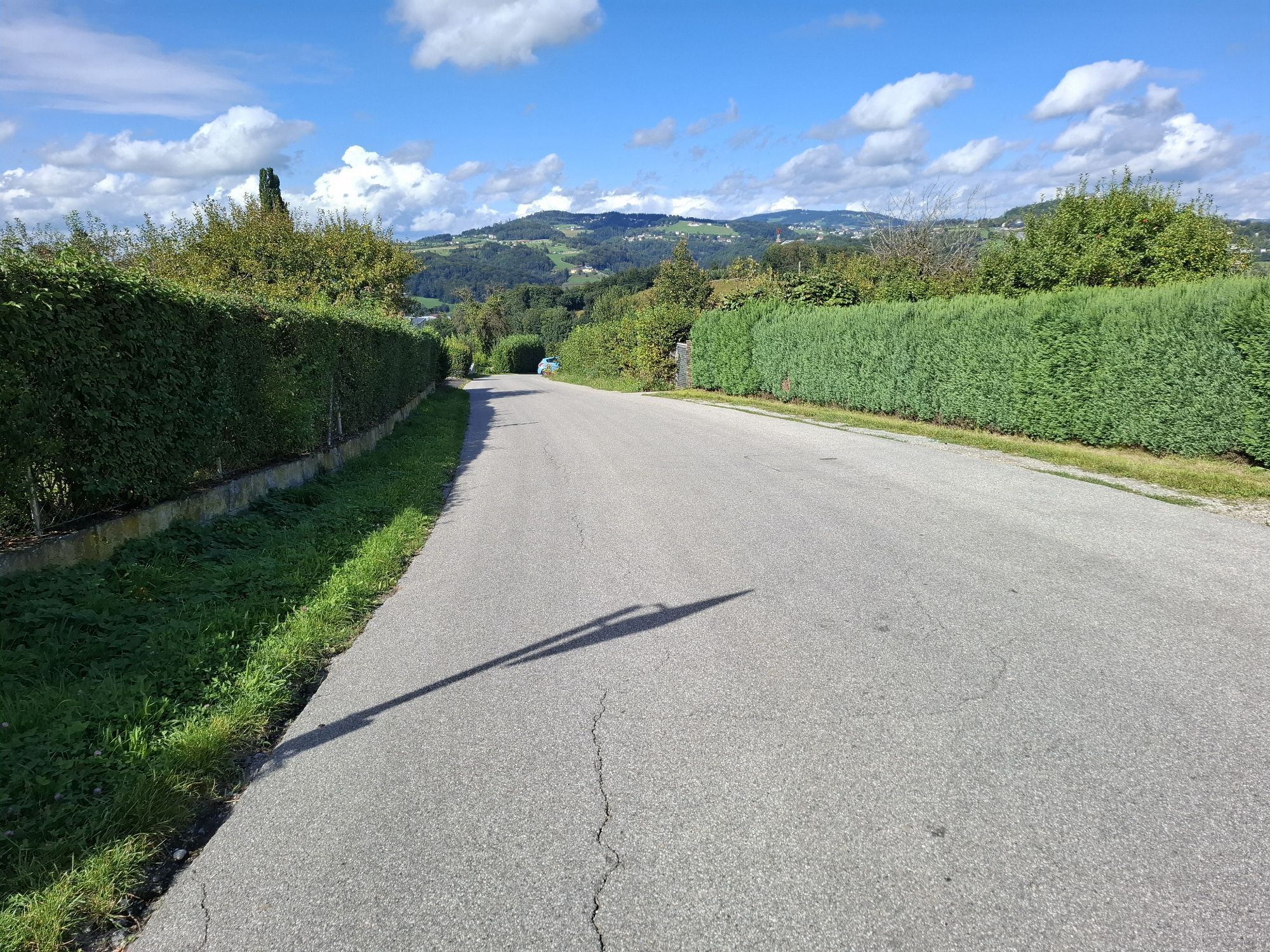
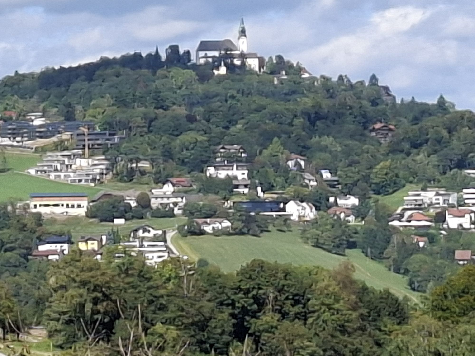
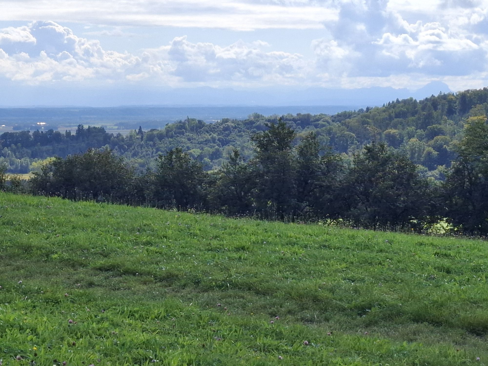
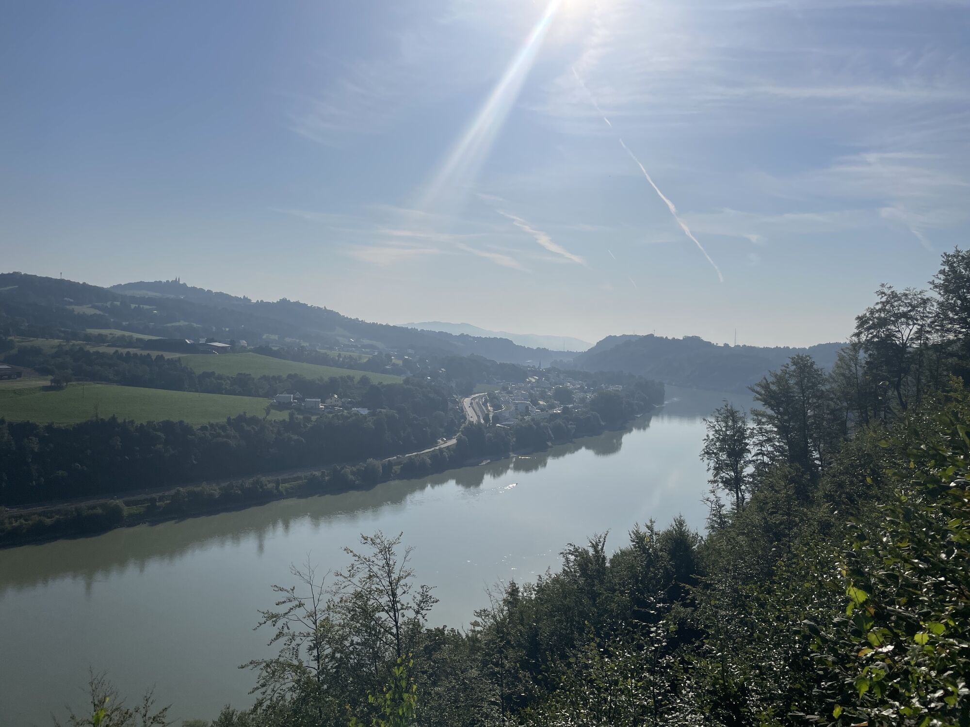
The starting point for this Donausteig stage is the landing of the cable ferry in Wilhering. This former narrow point of the Danube has always been an important connection to today's Mühlviertel and lies...
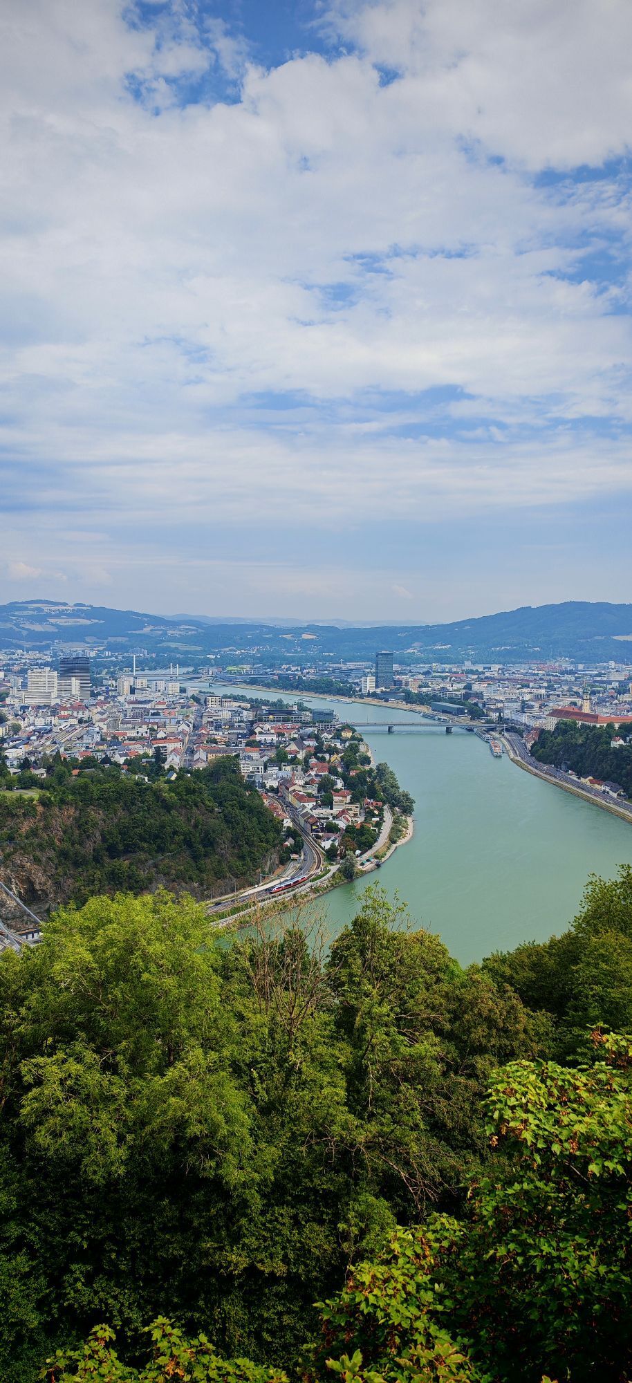
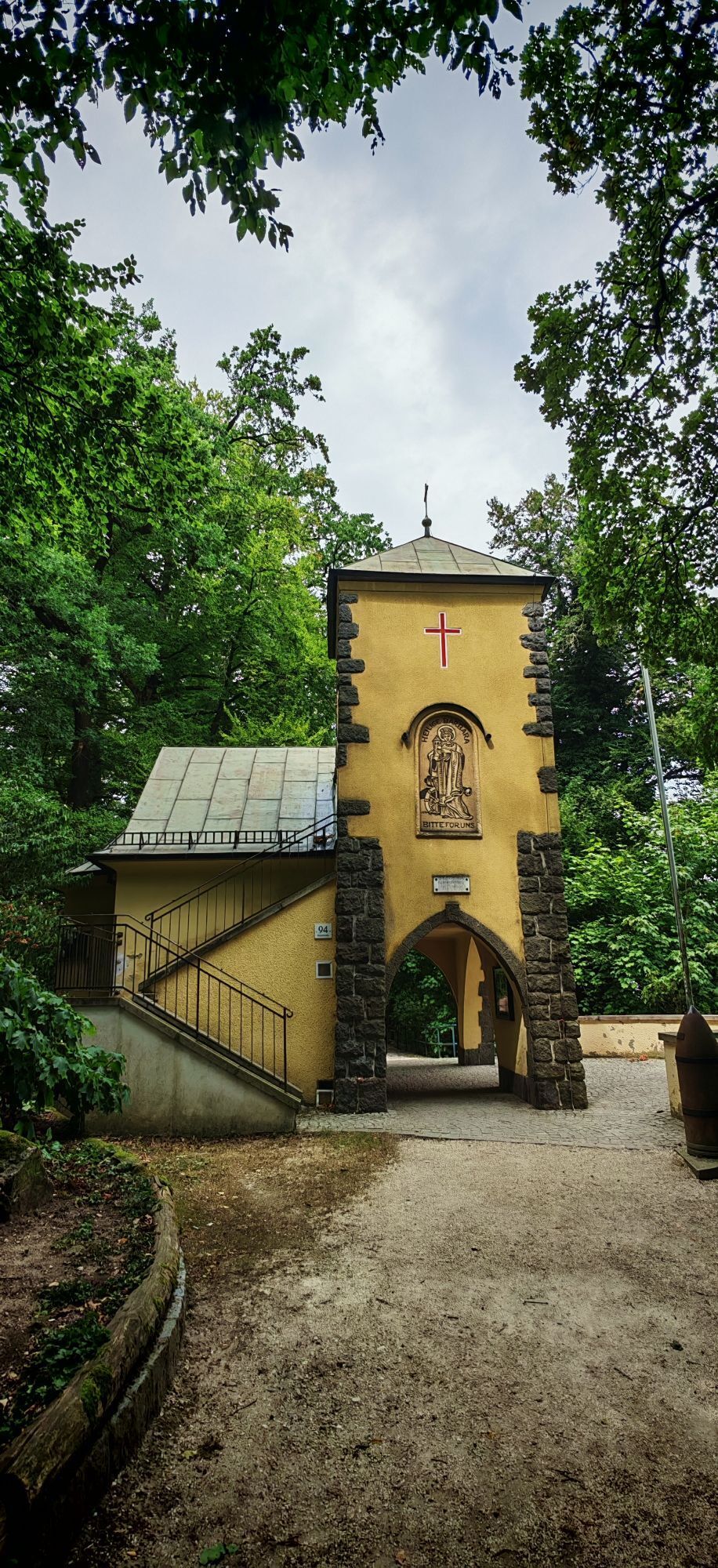
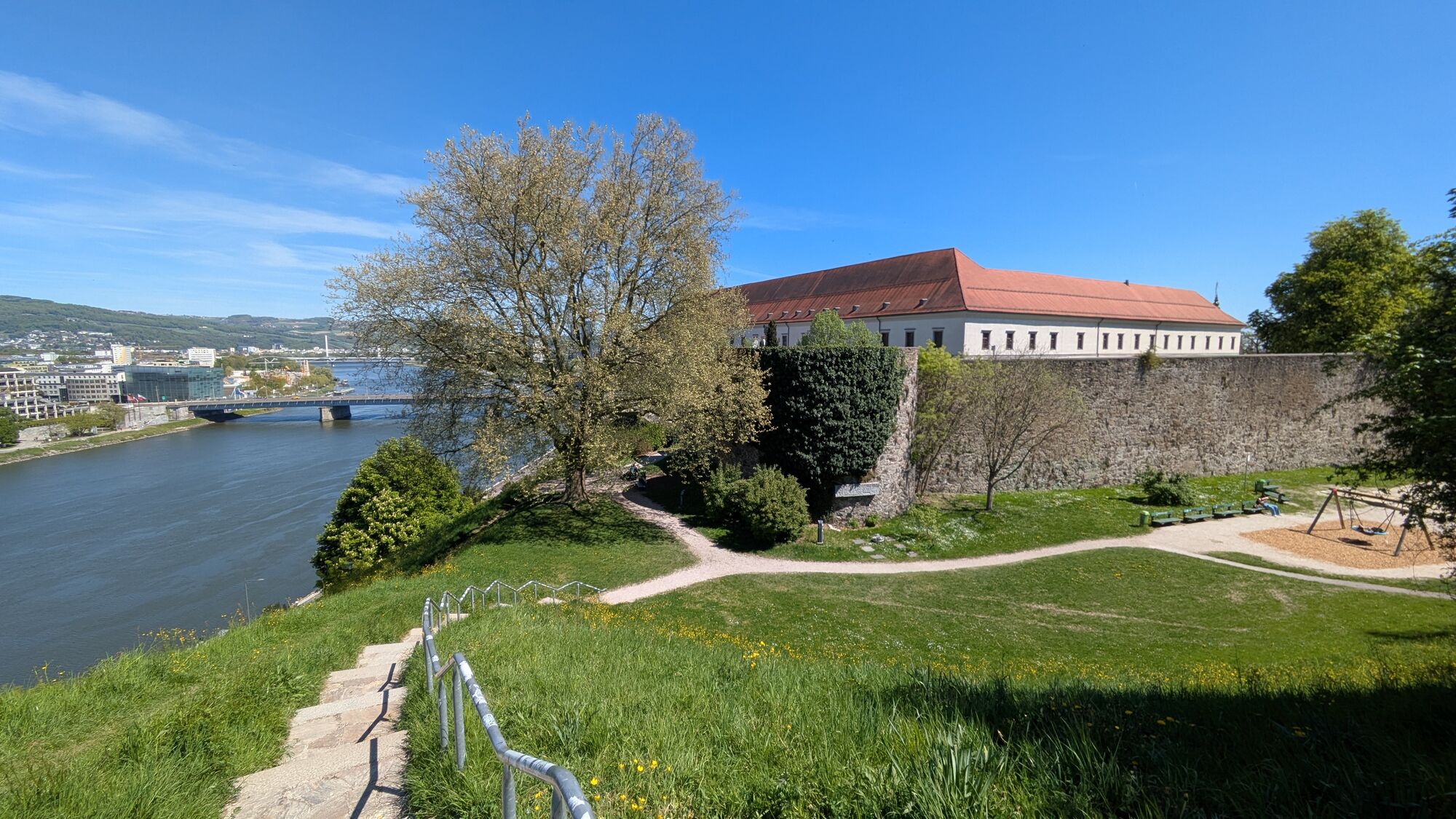
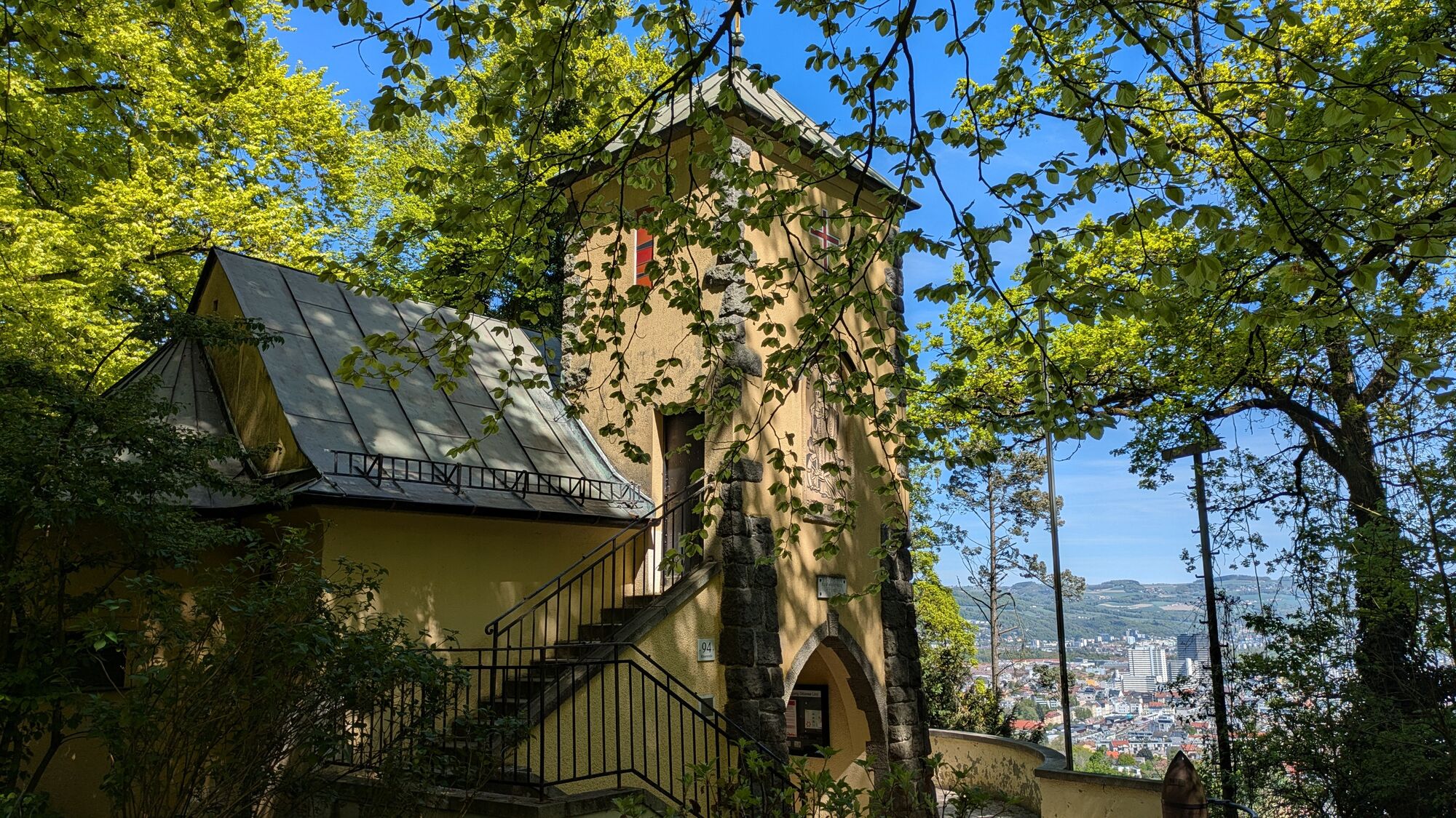
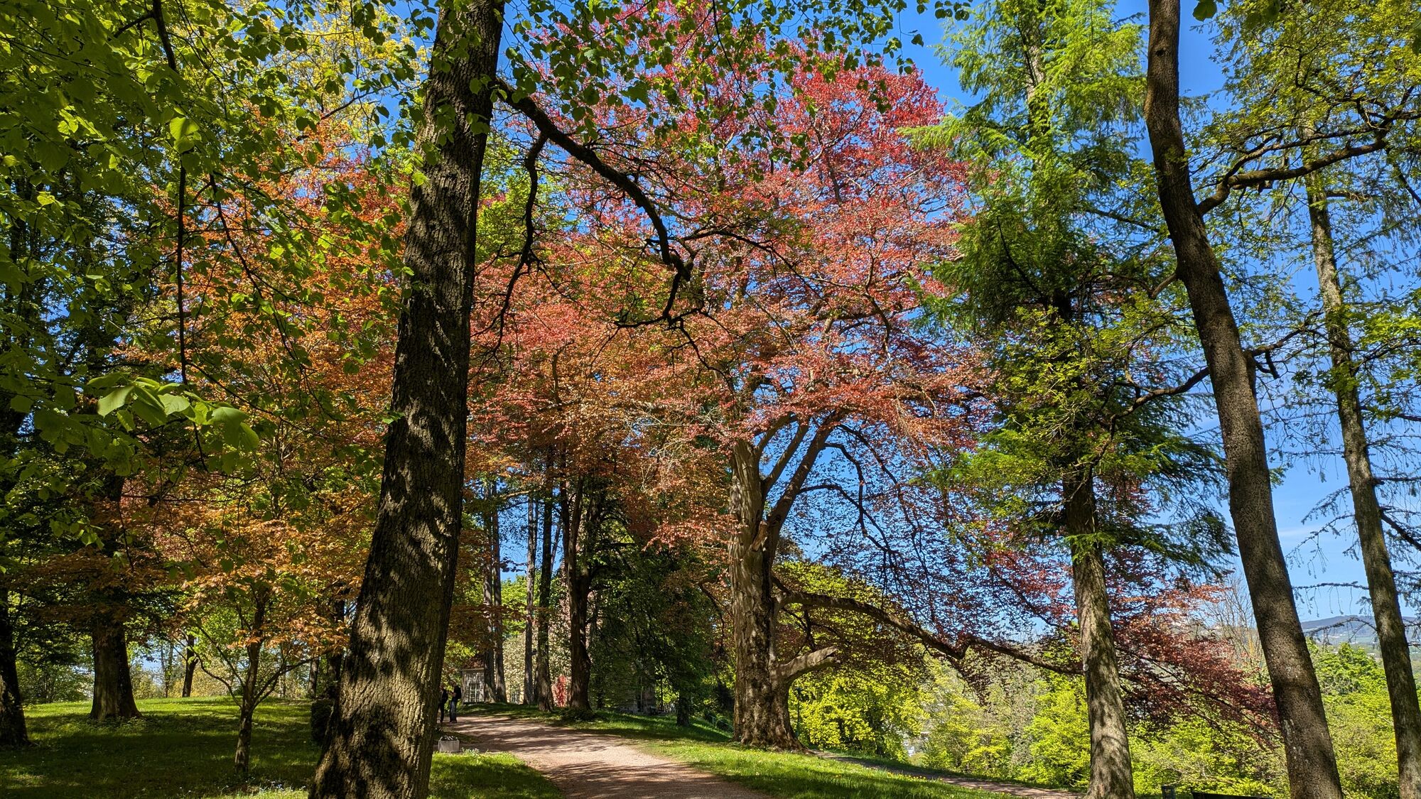
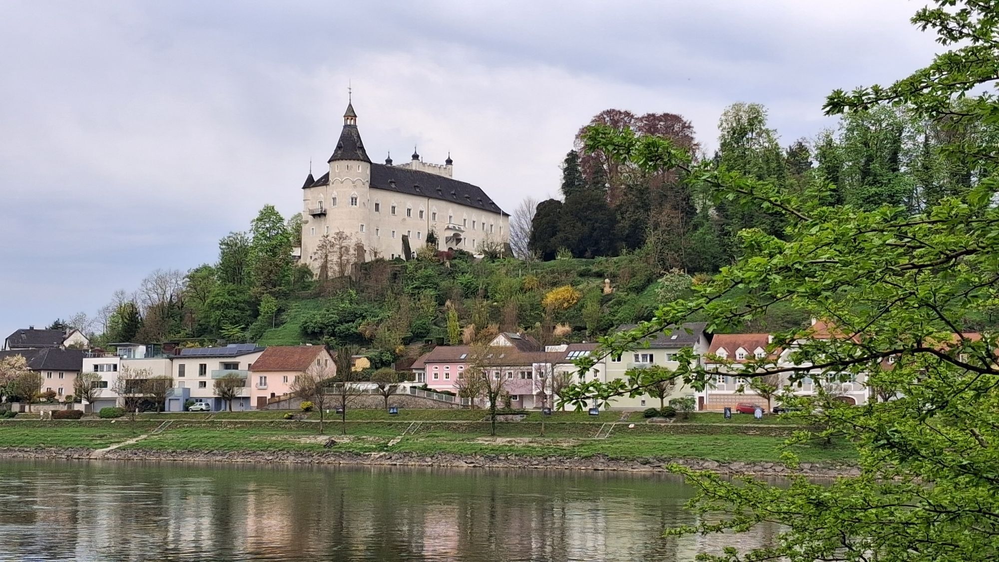
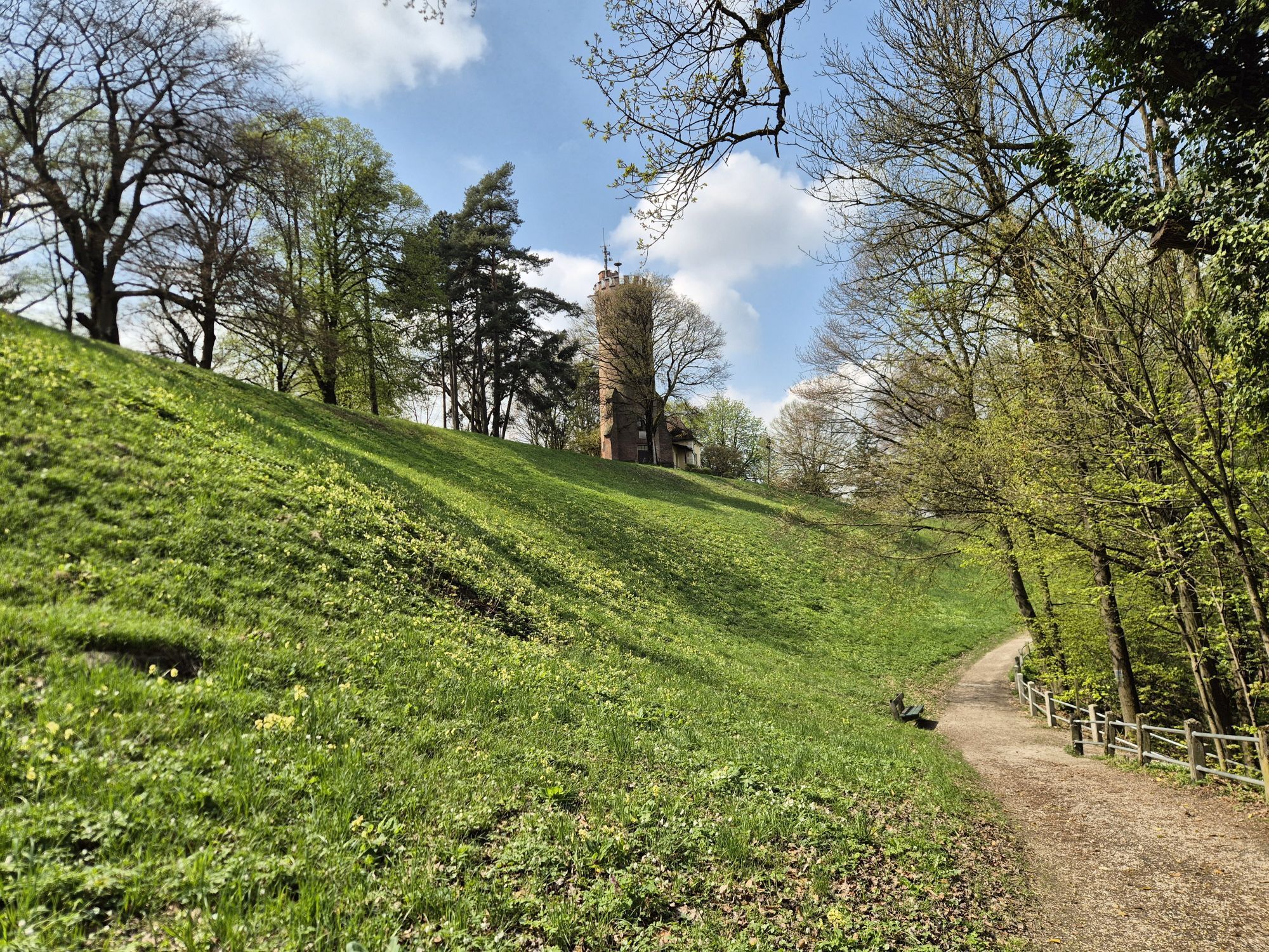
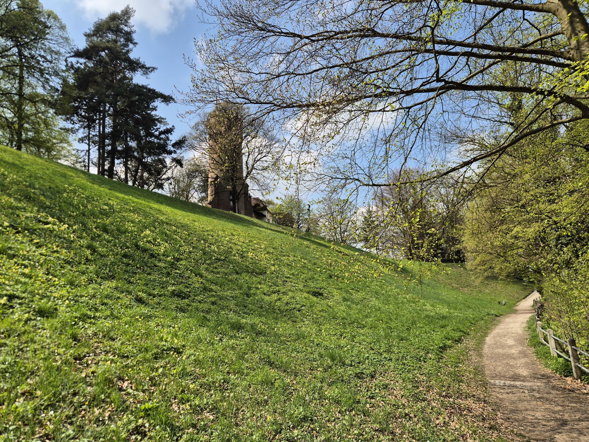
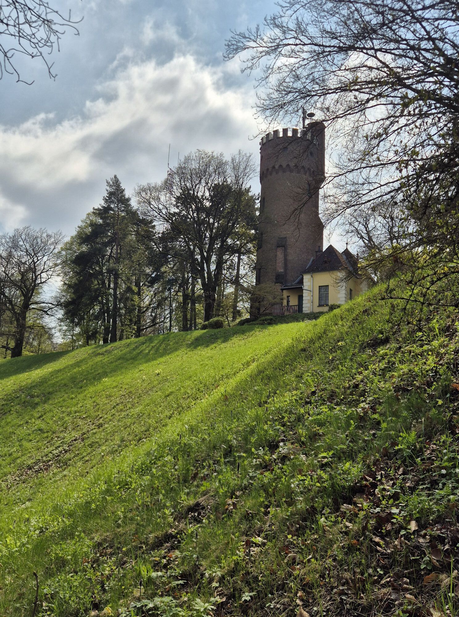
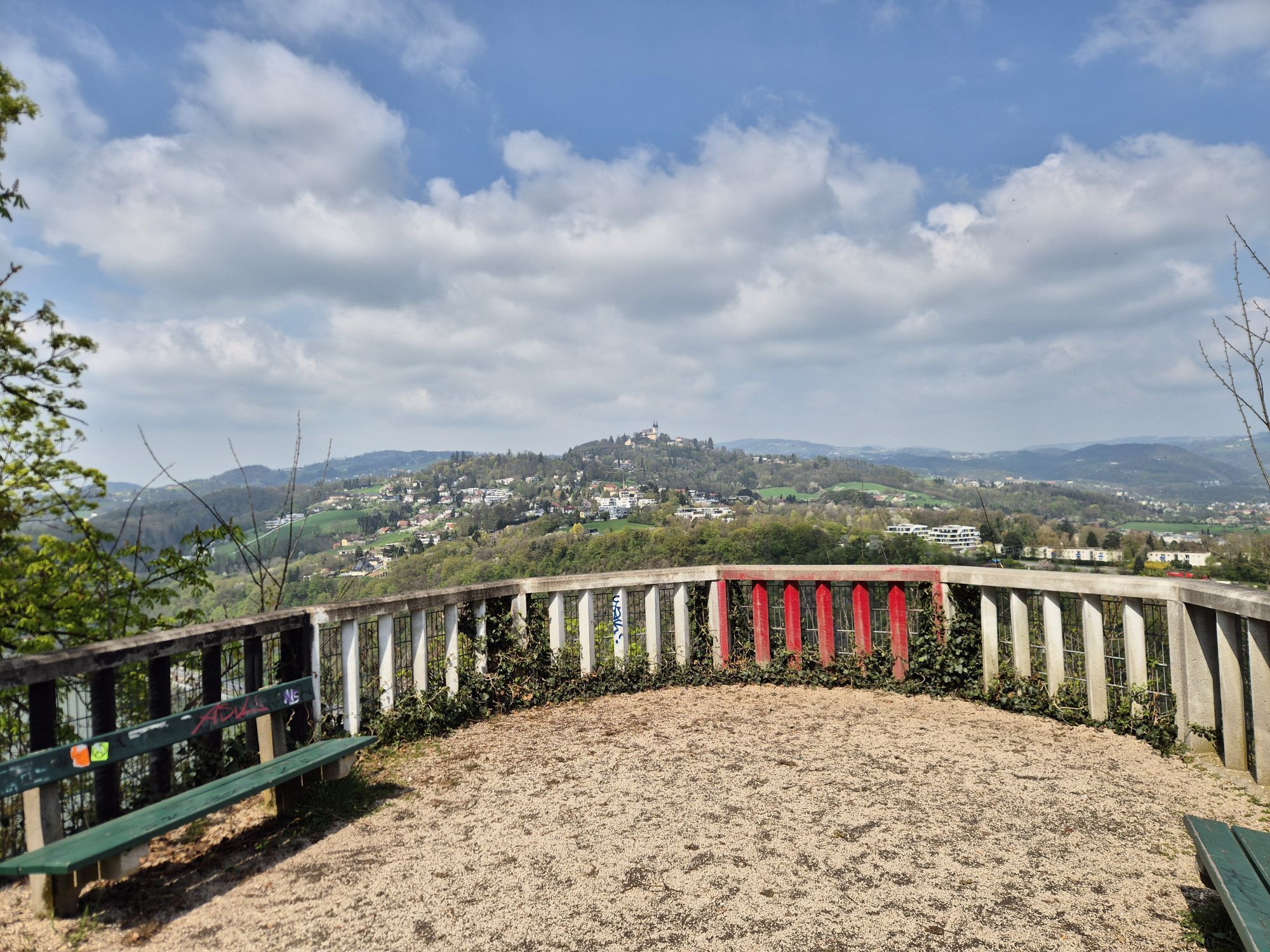
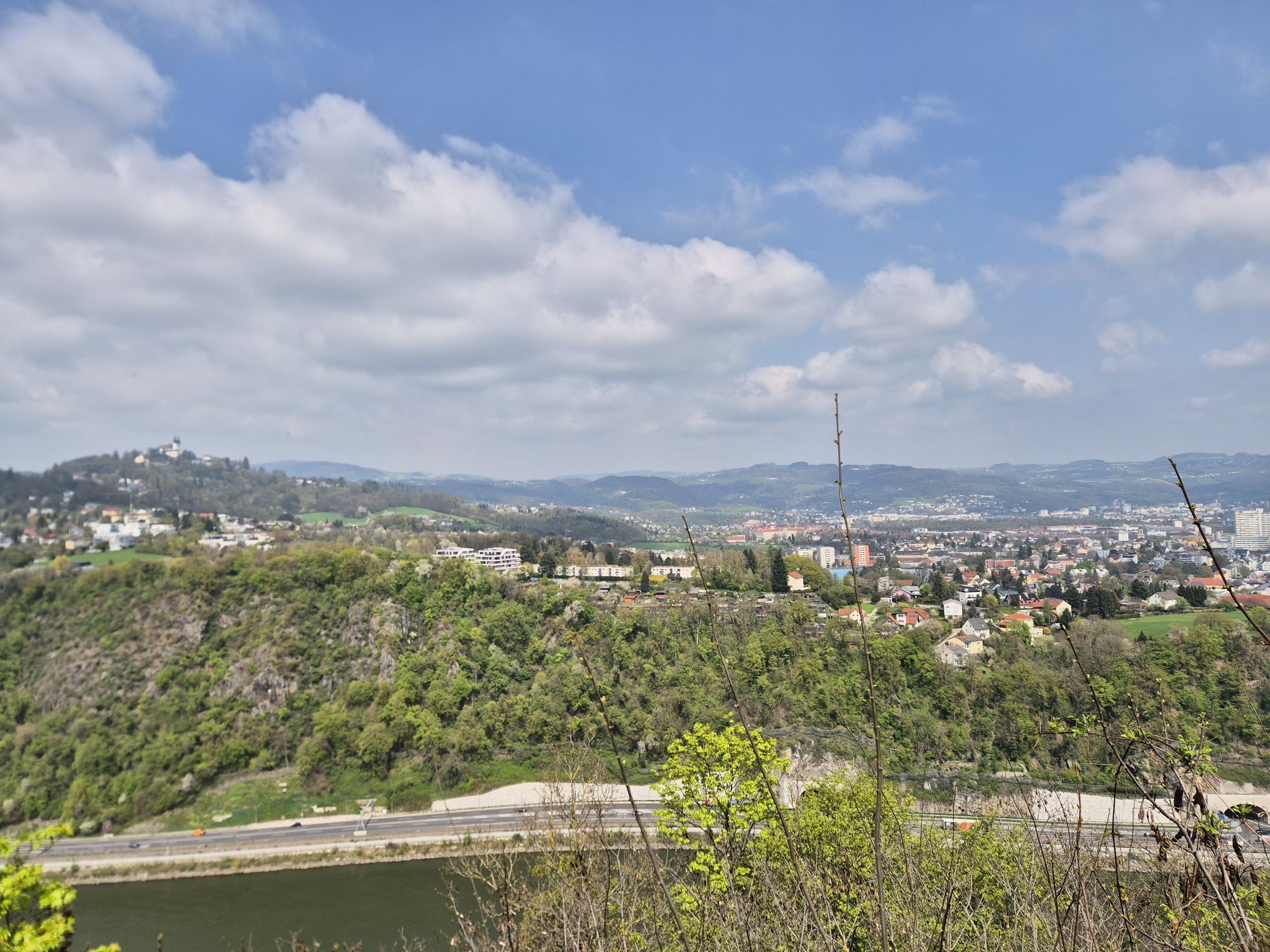
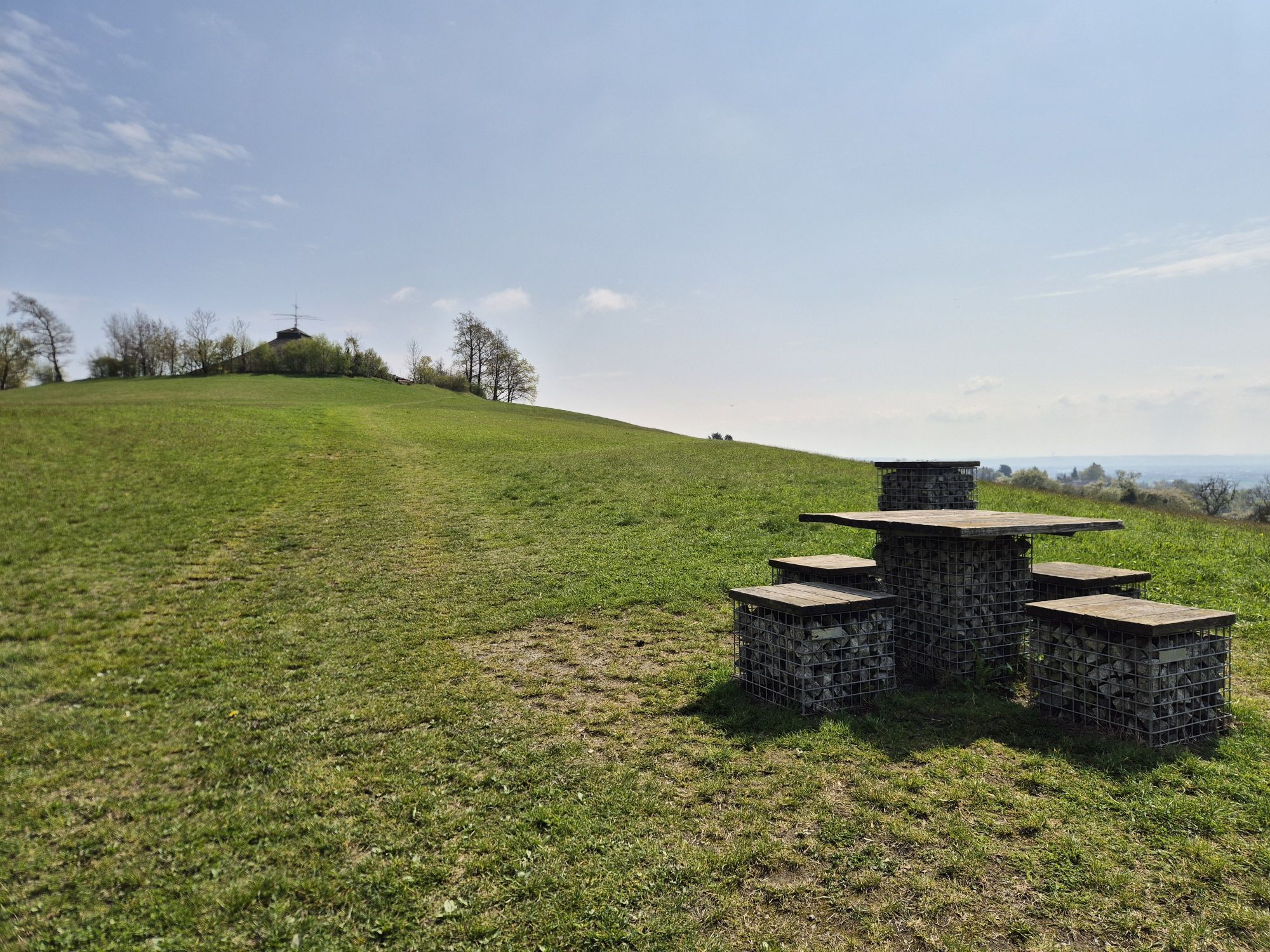
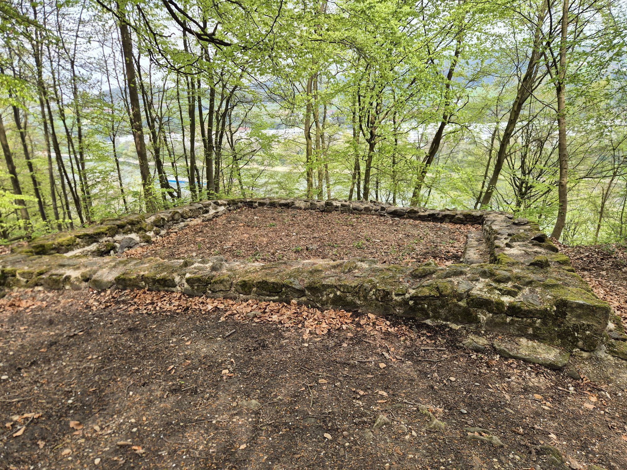
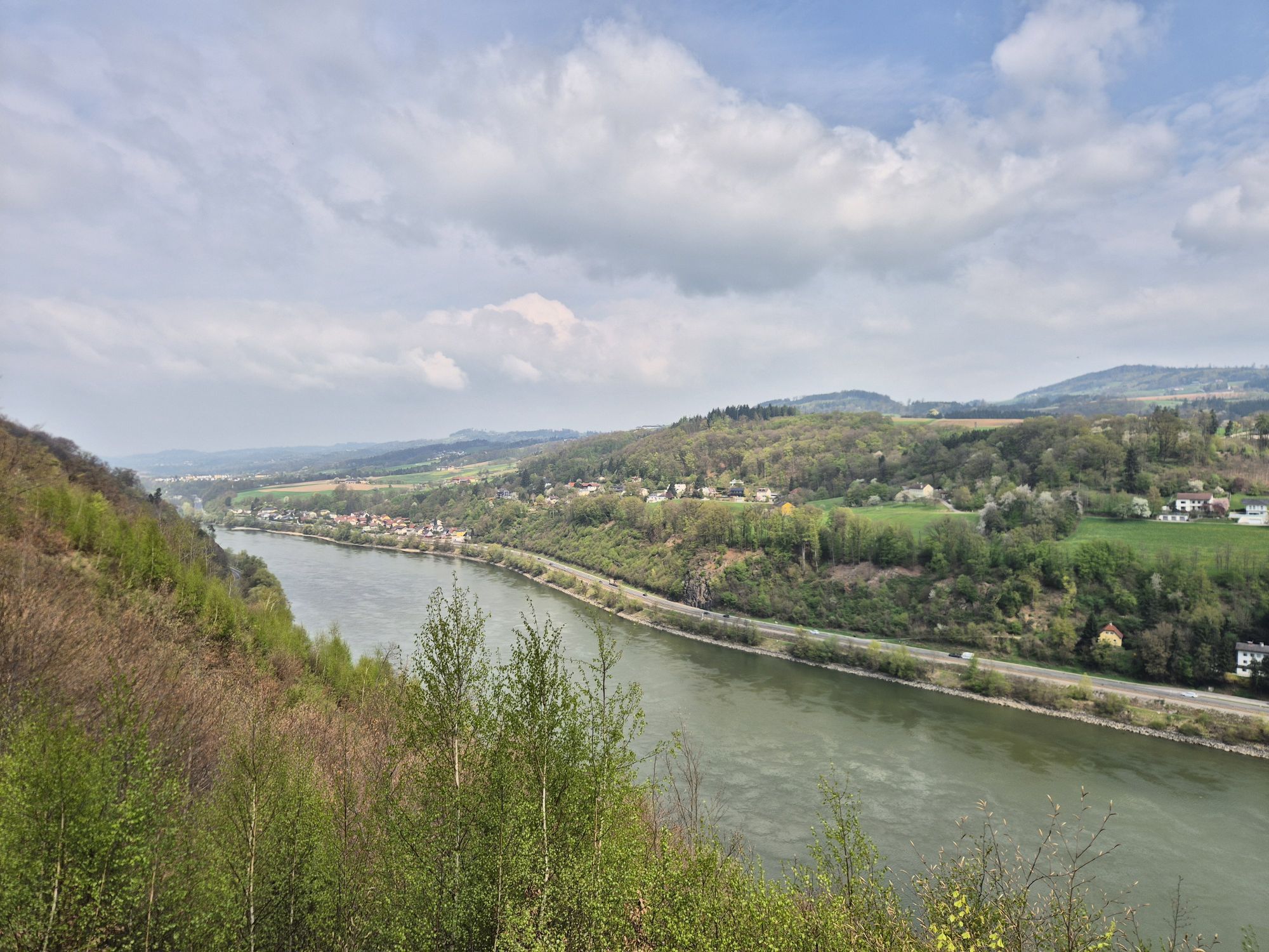
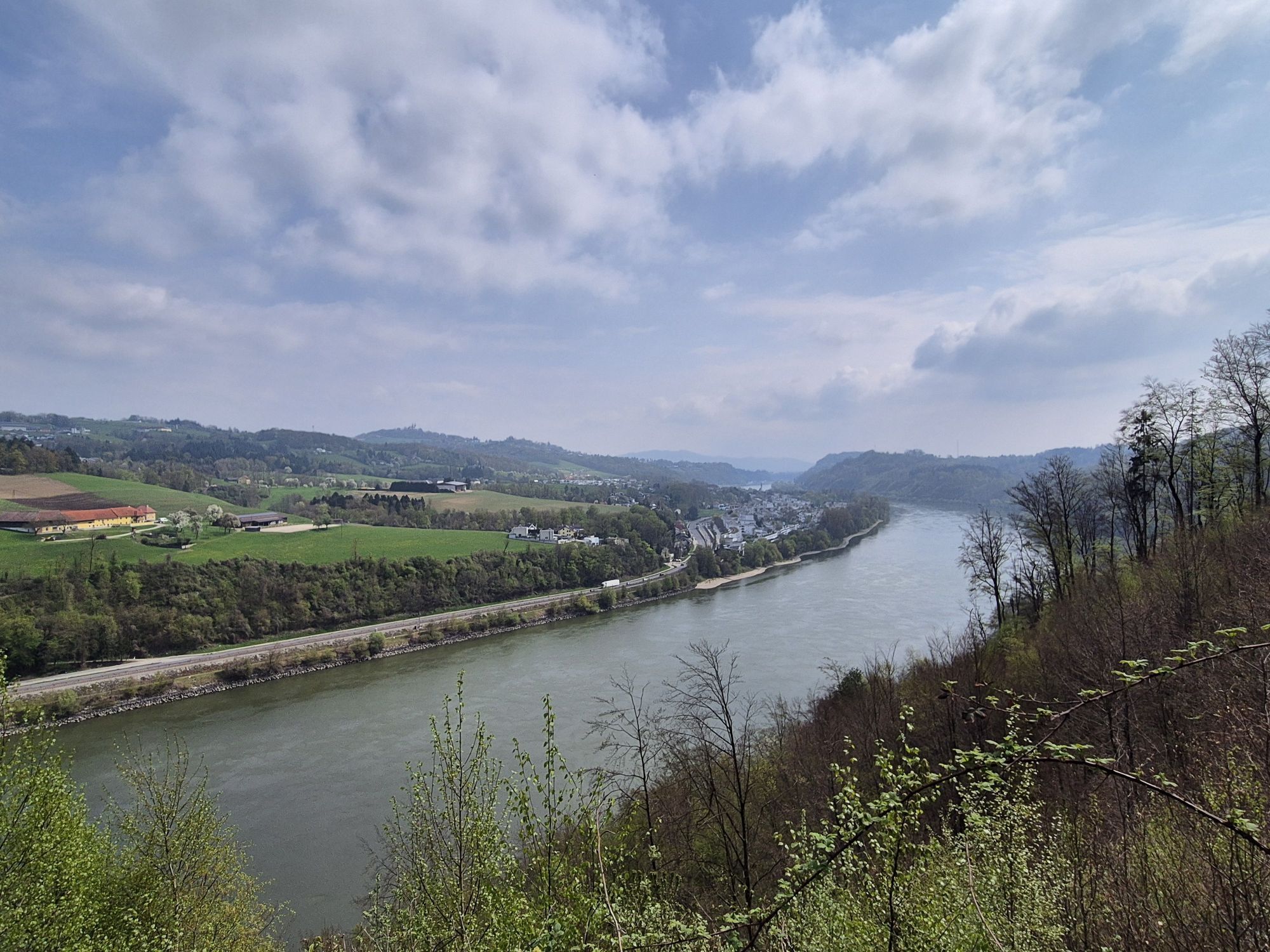
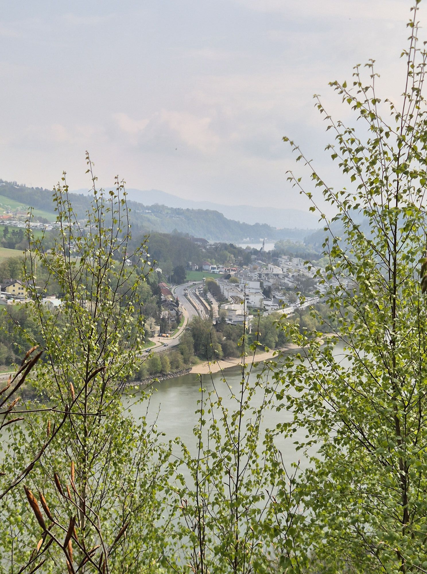
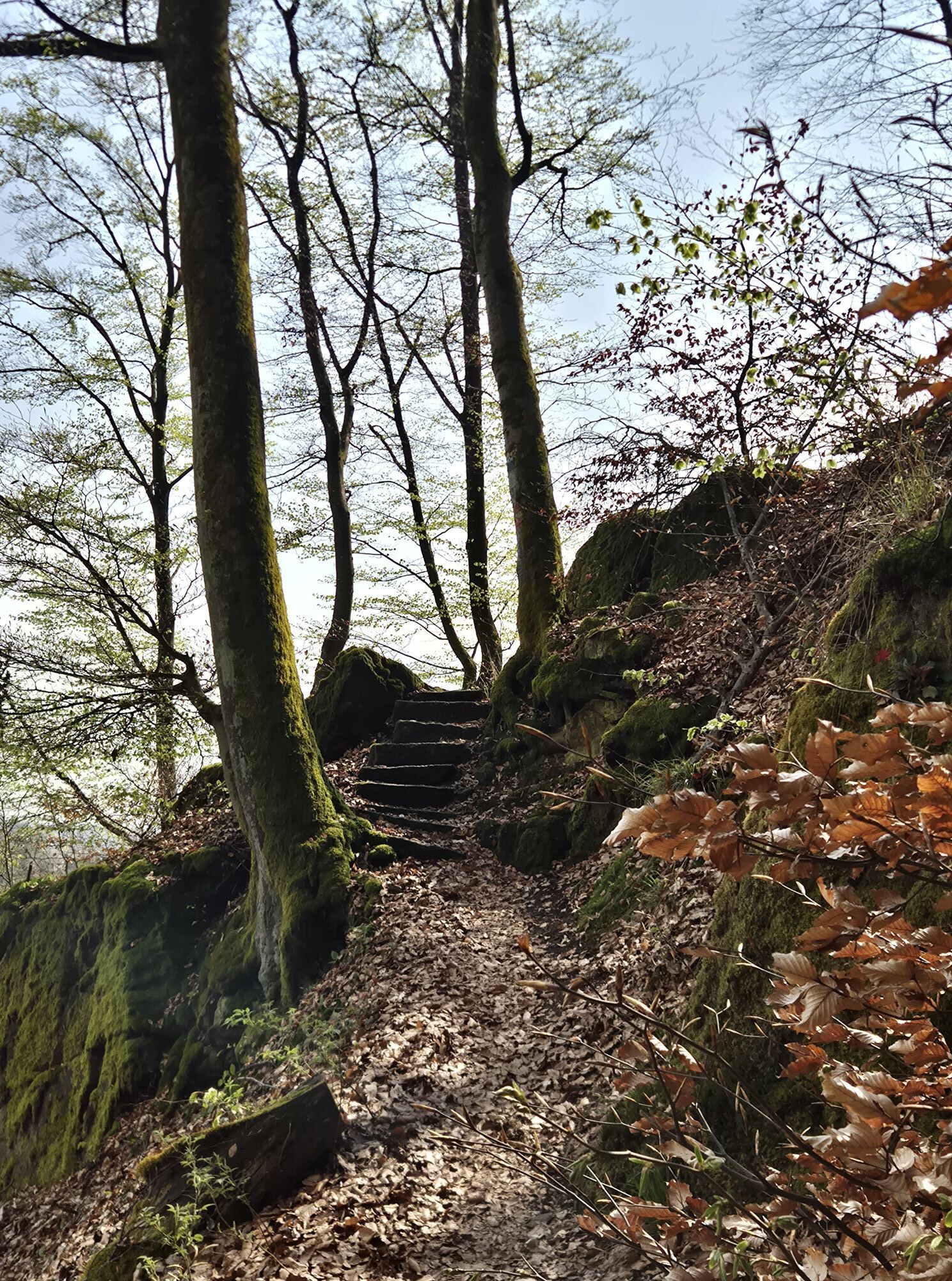
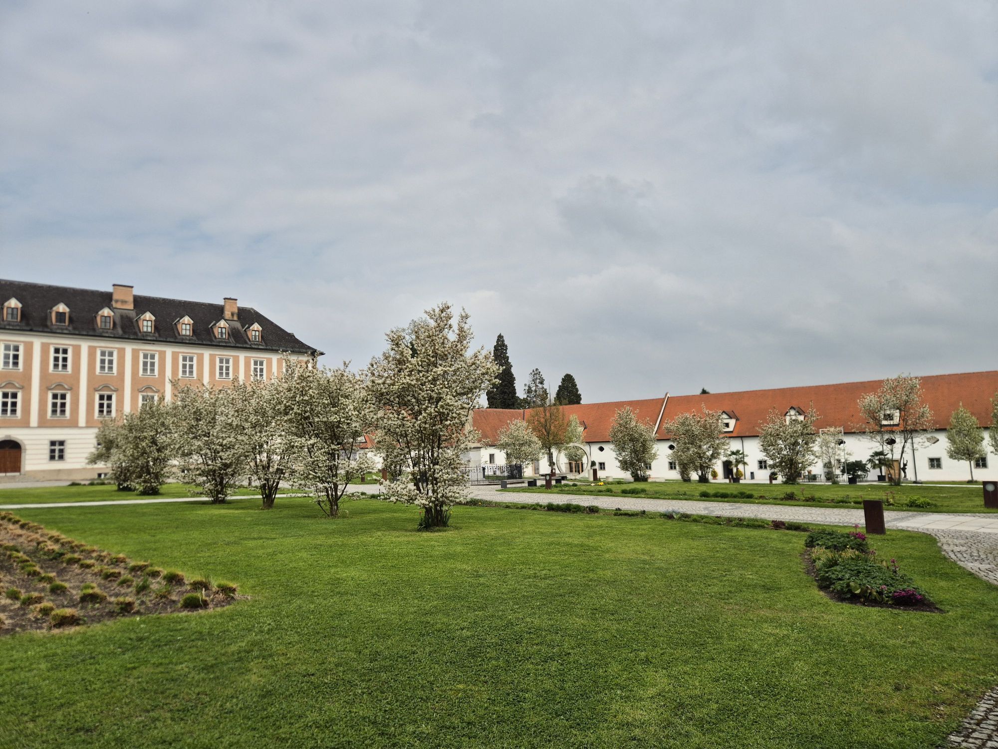
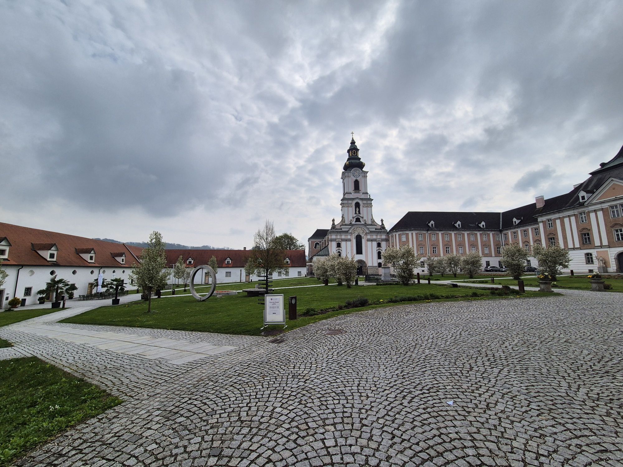
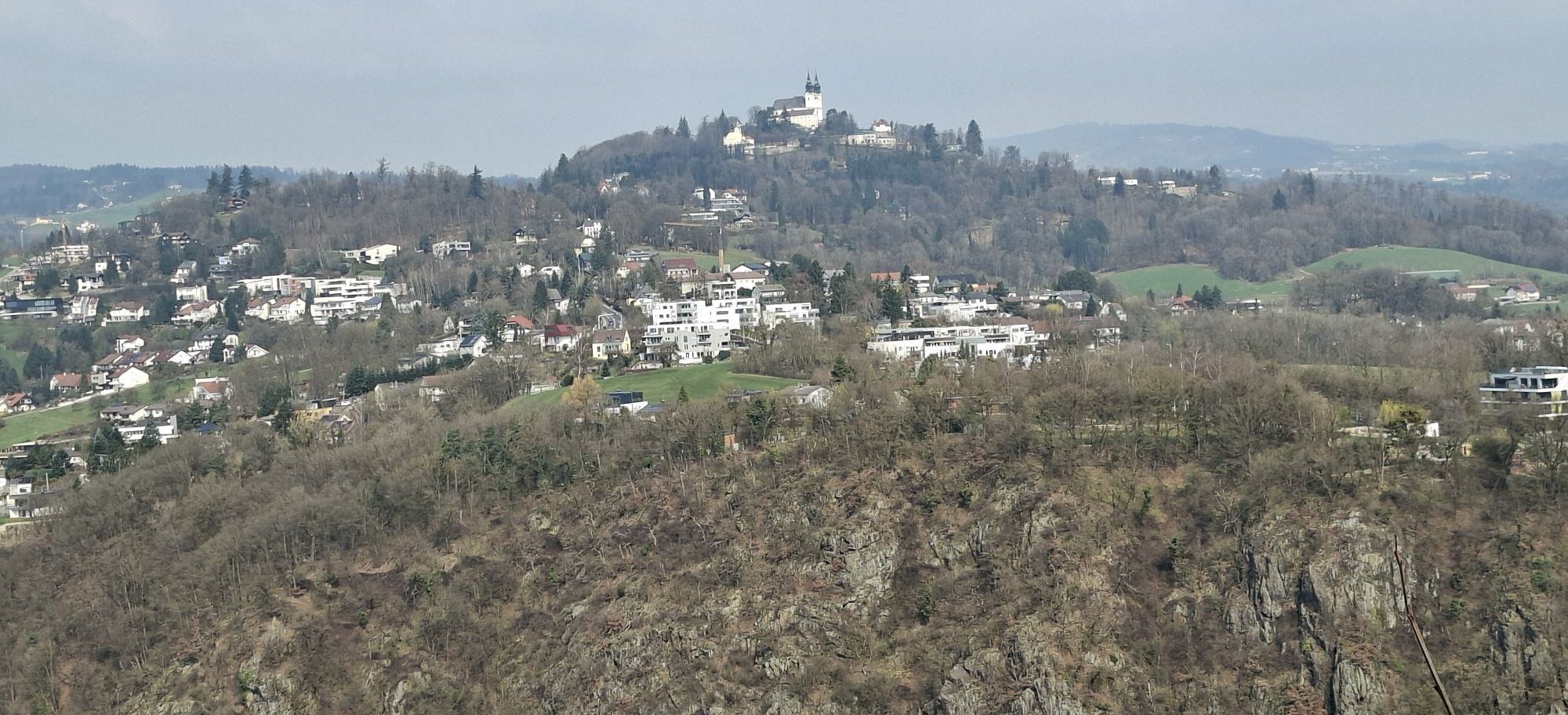
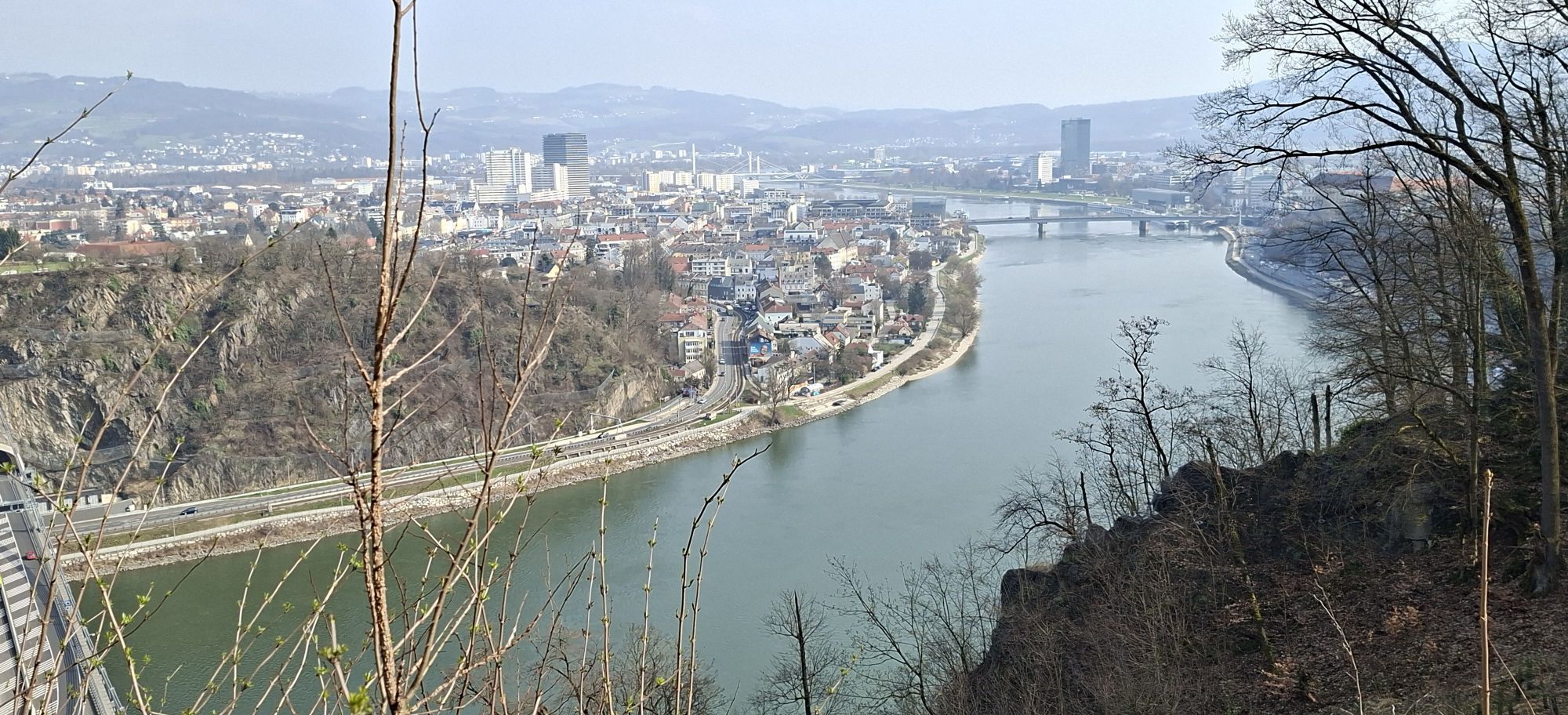
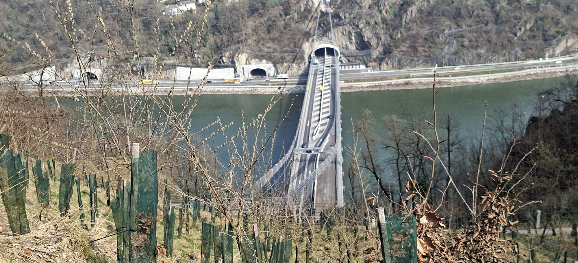
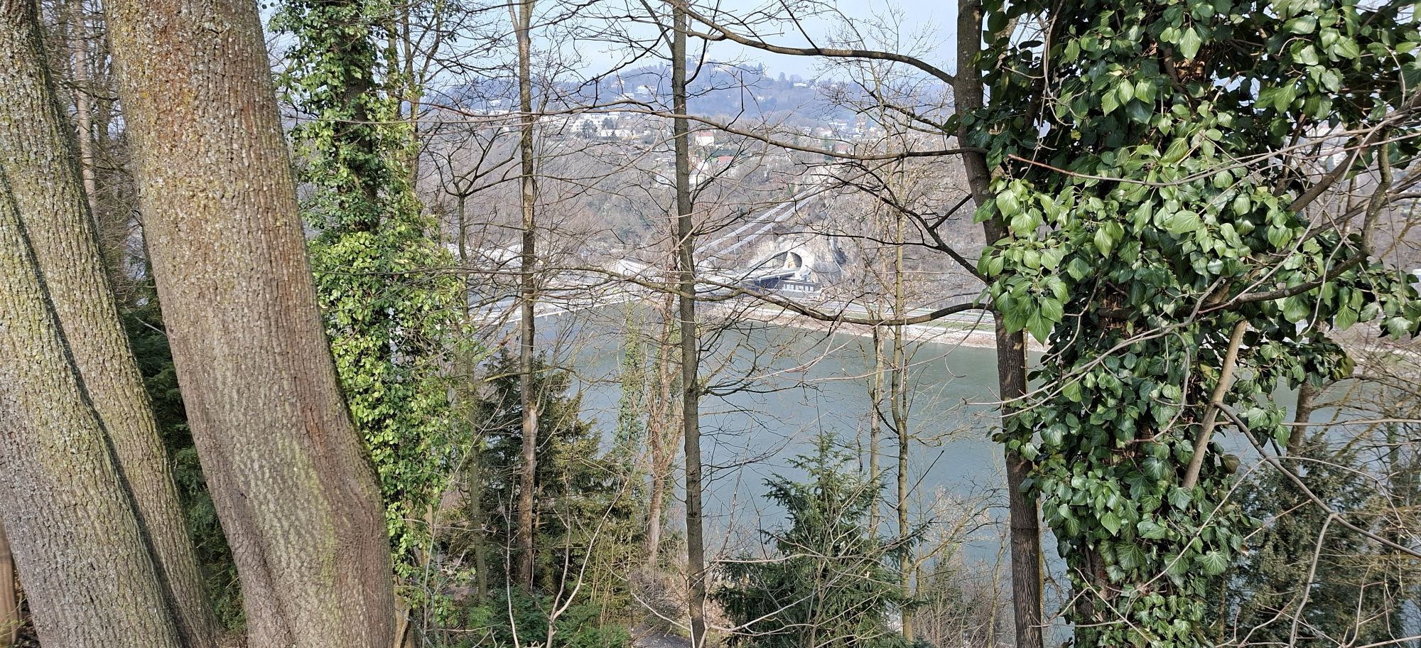
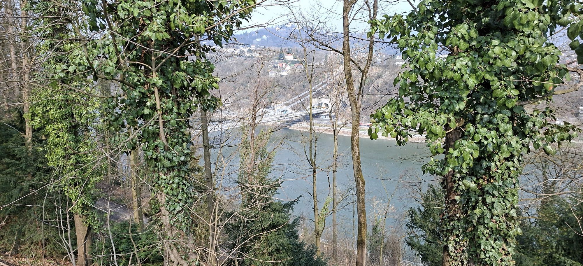
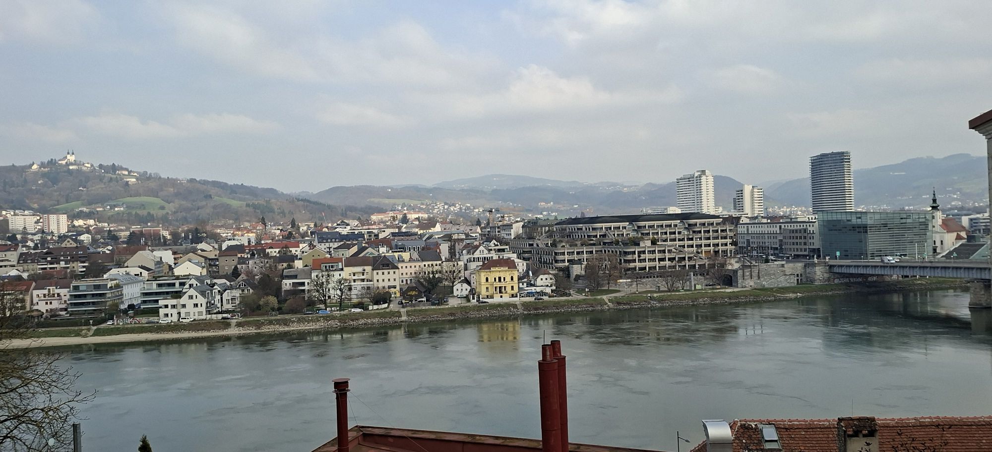
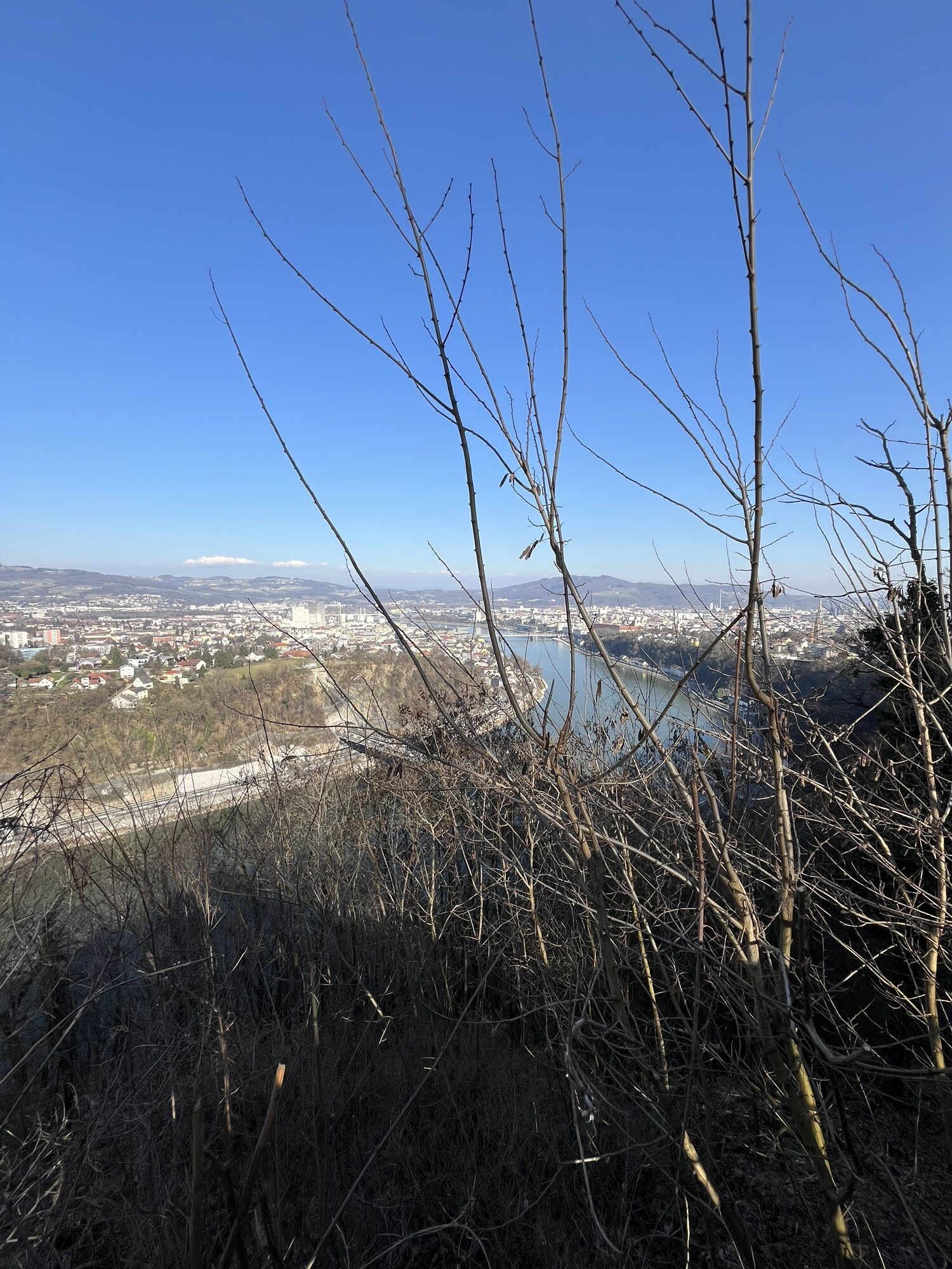
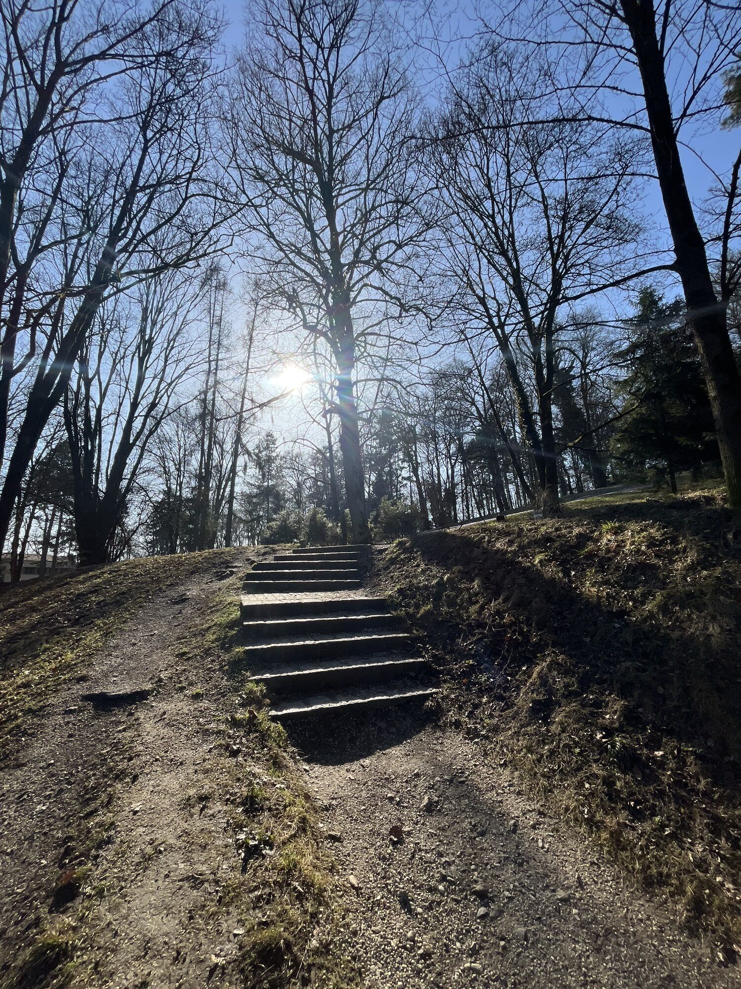
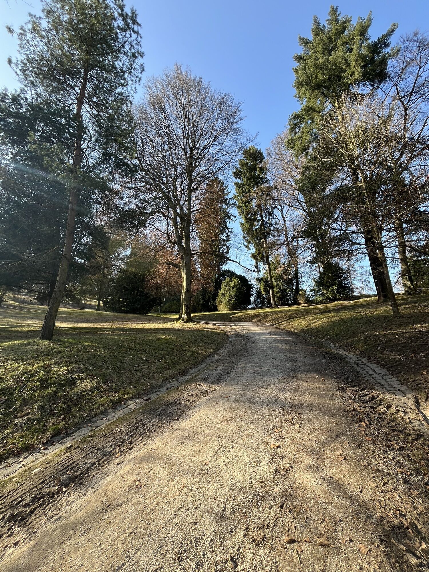
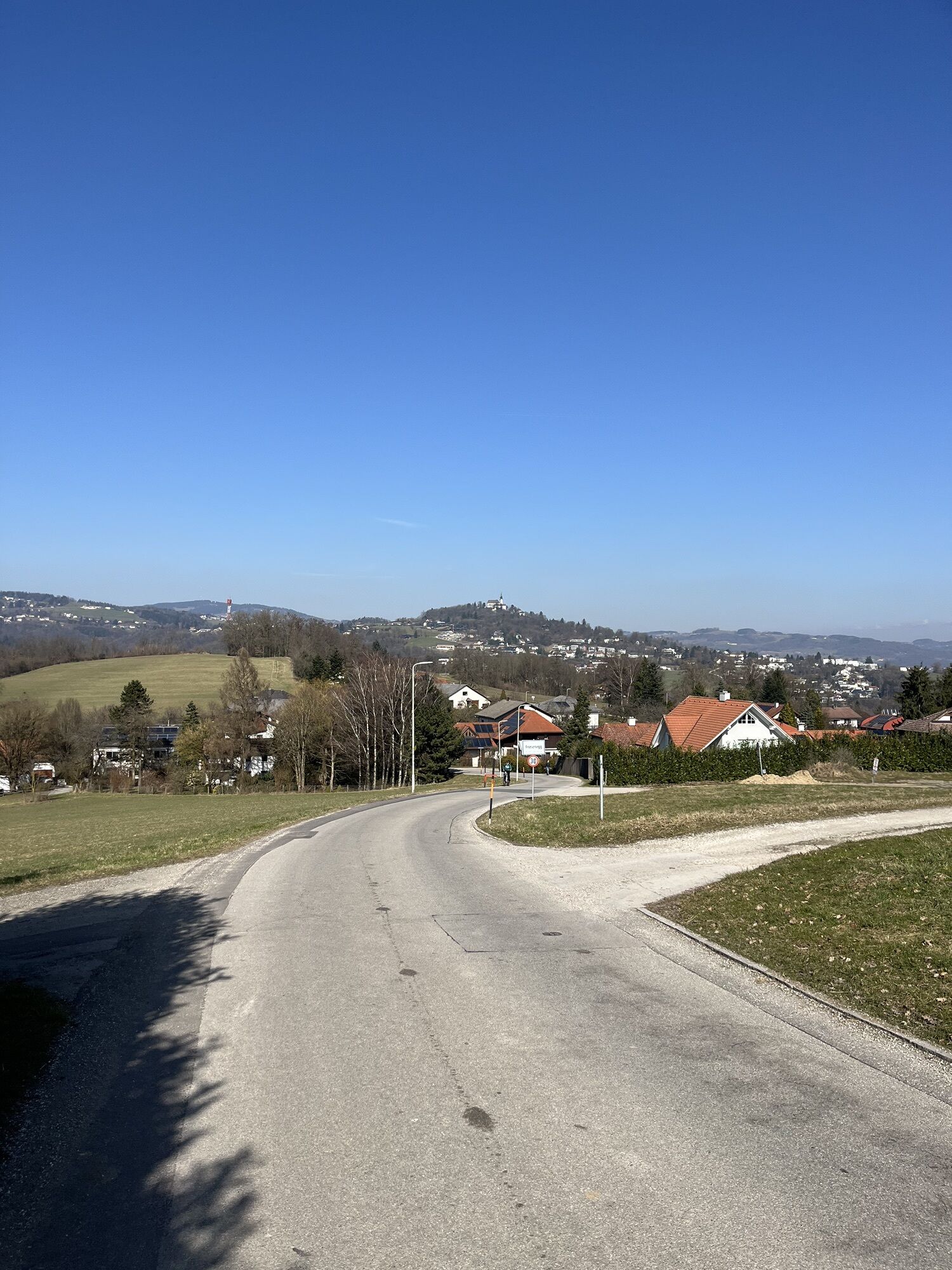
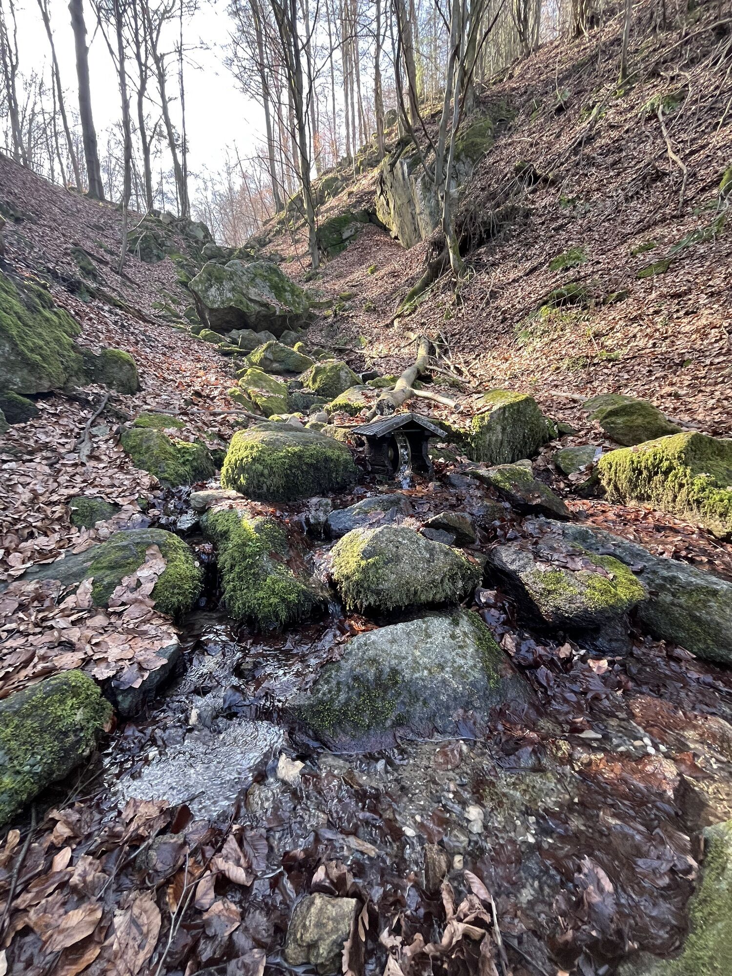
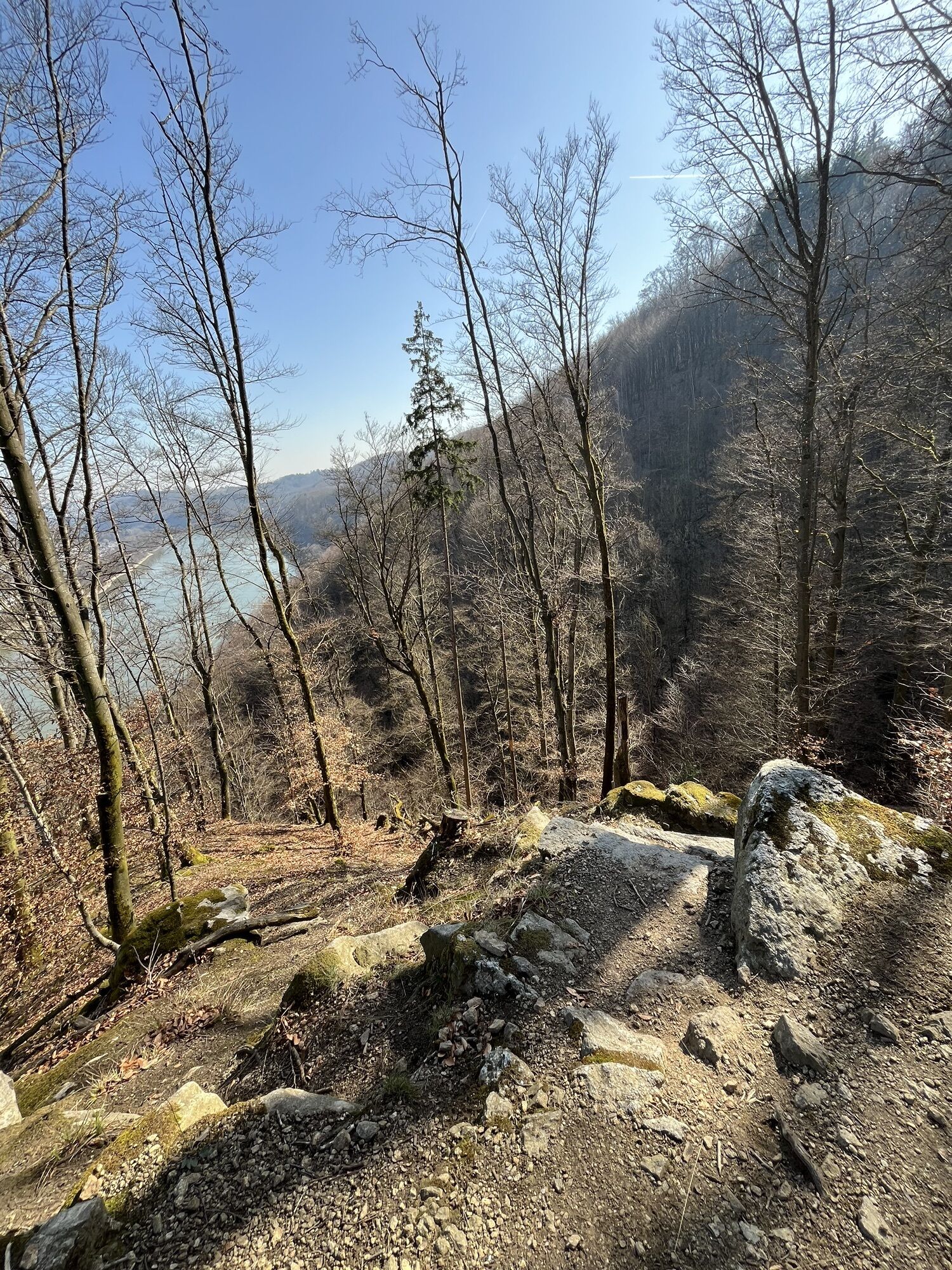
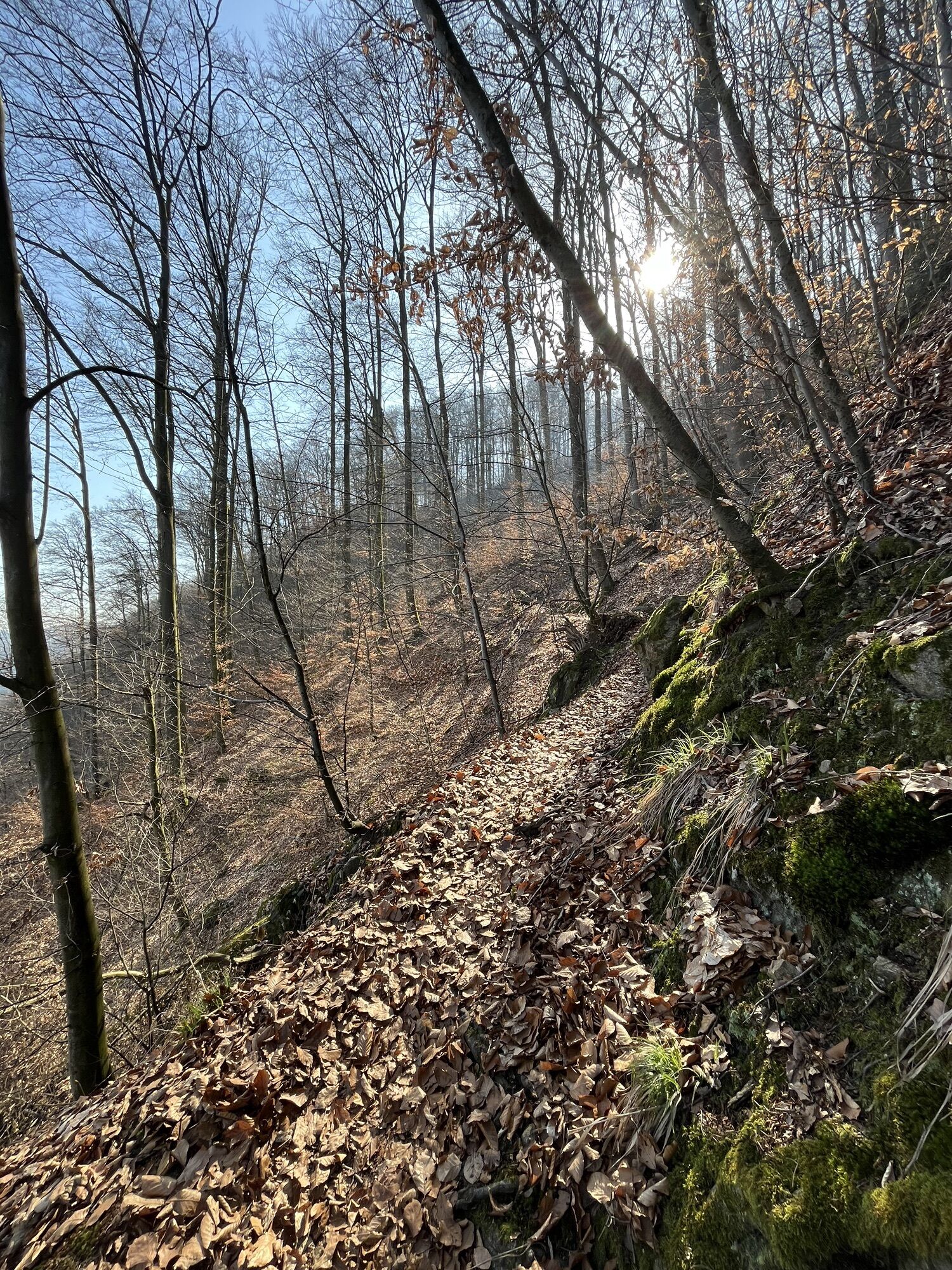
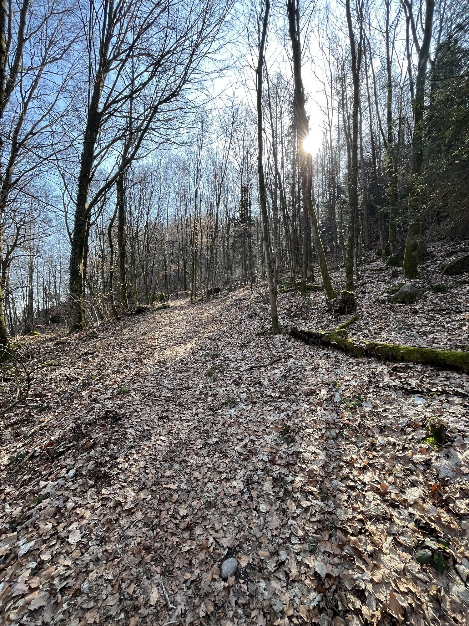
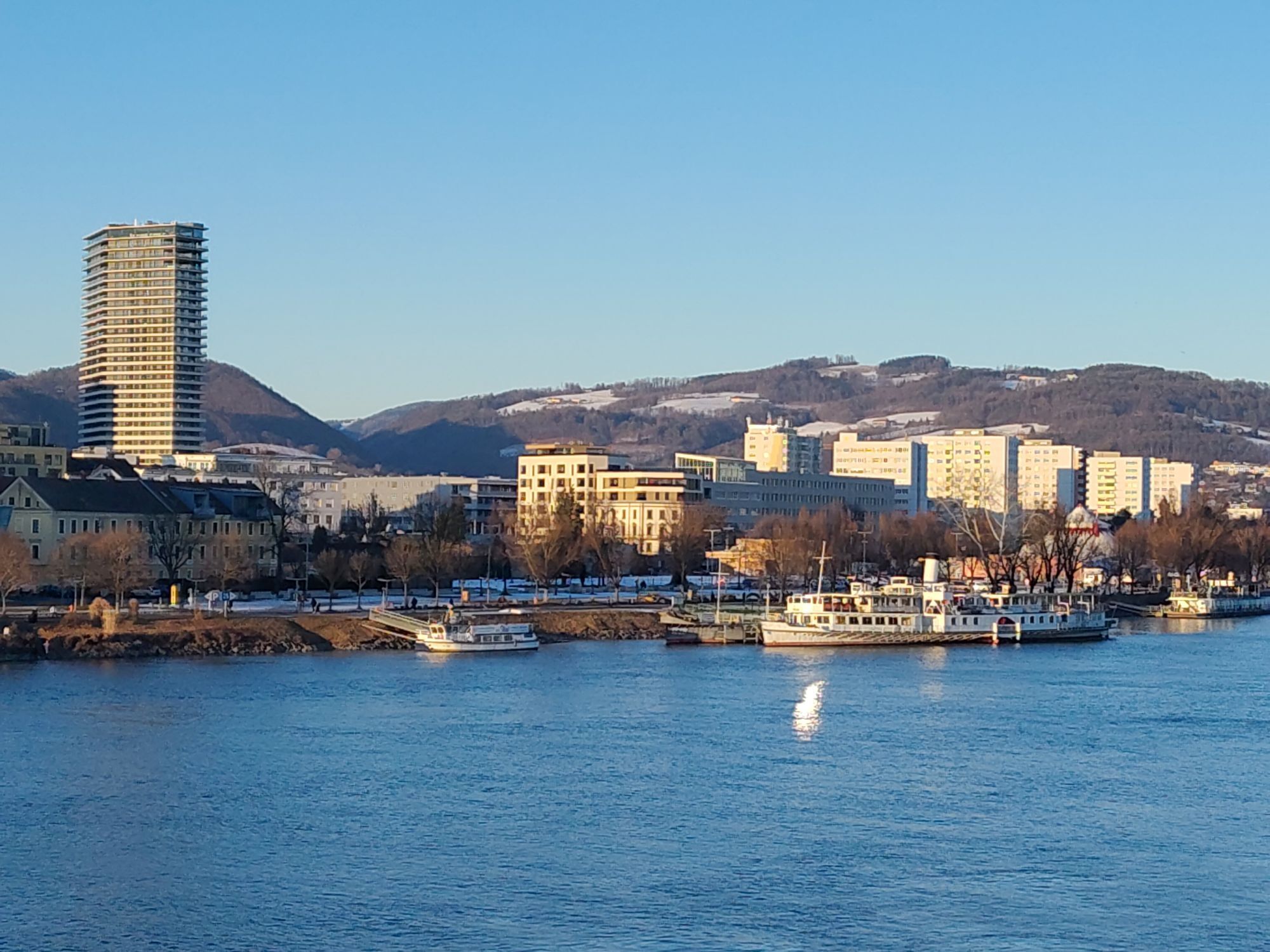
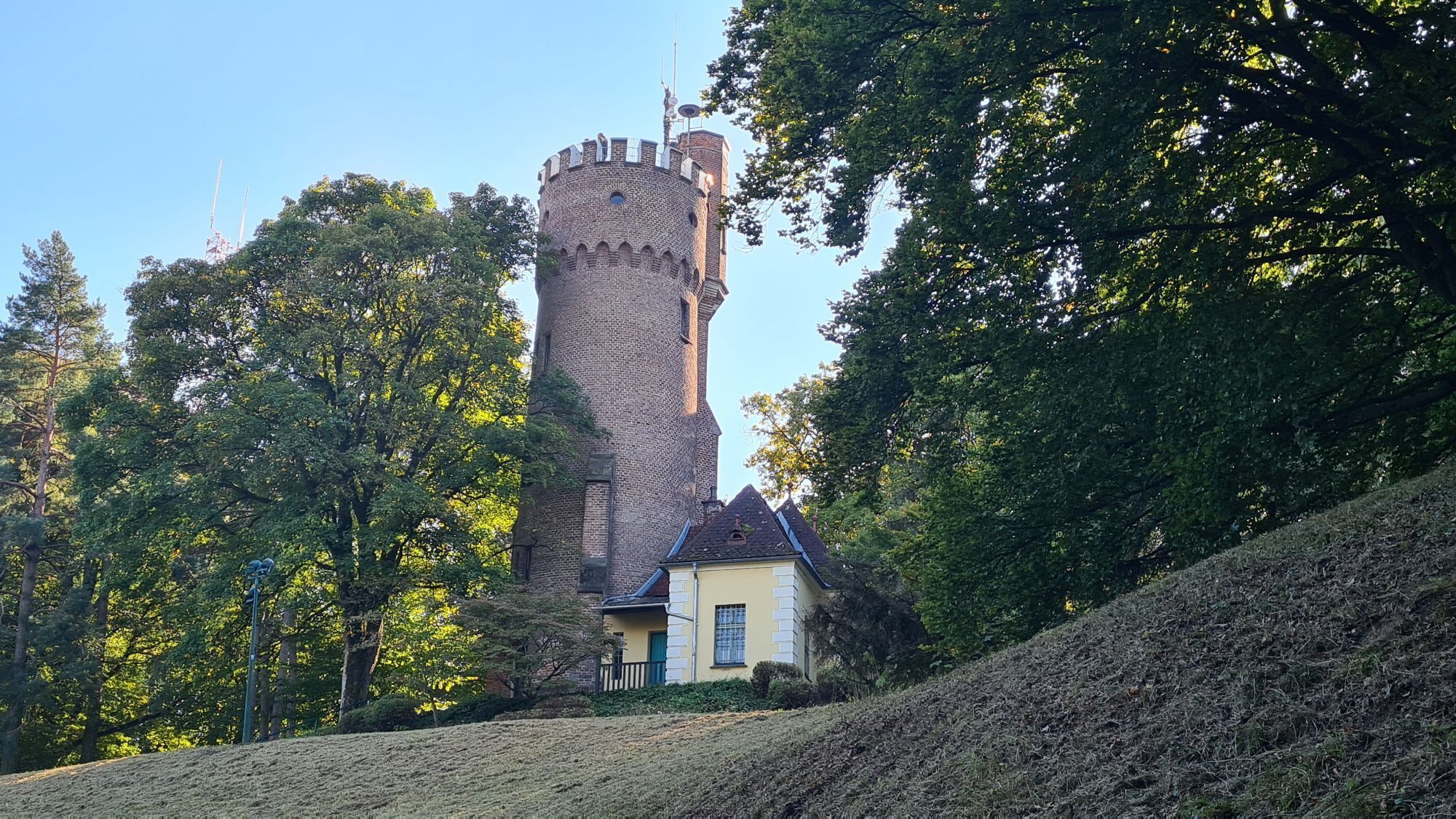
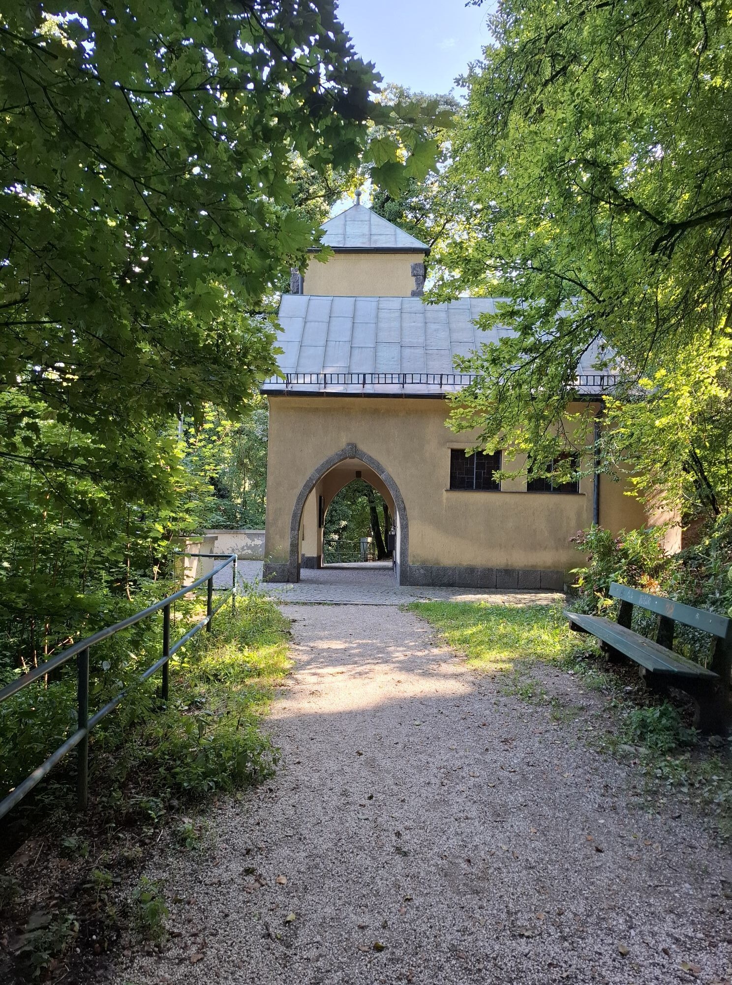
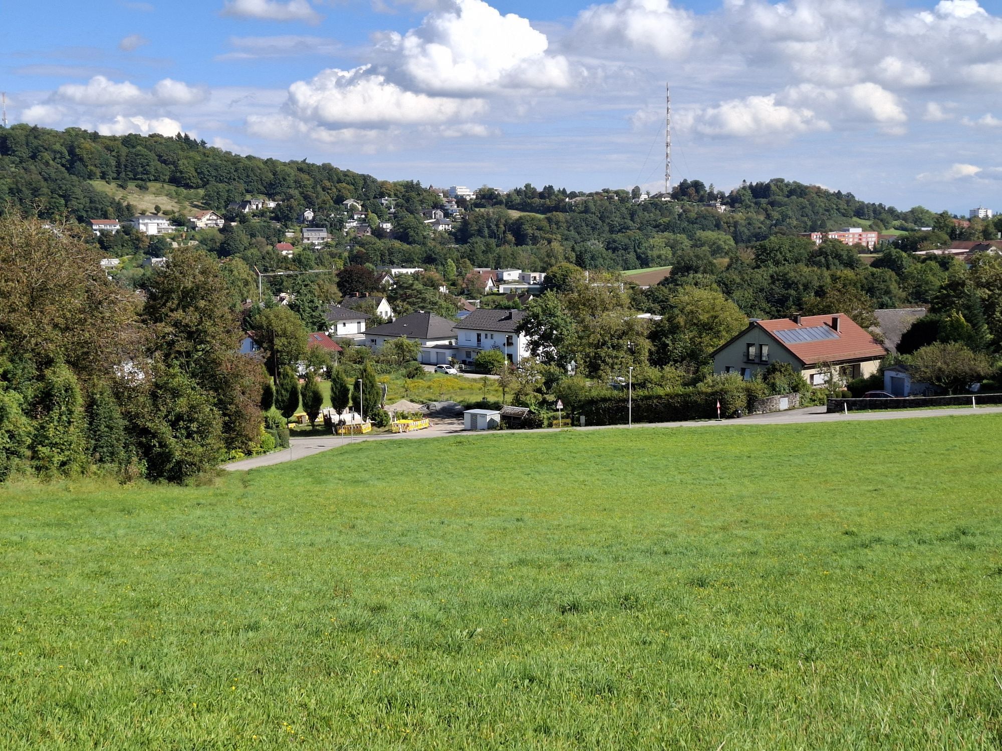
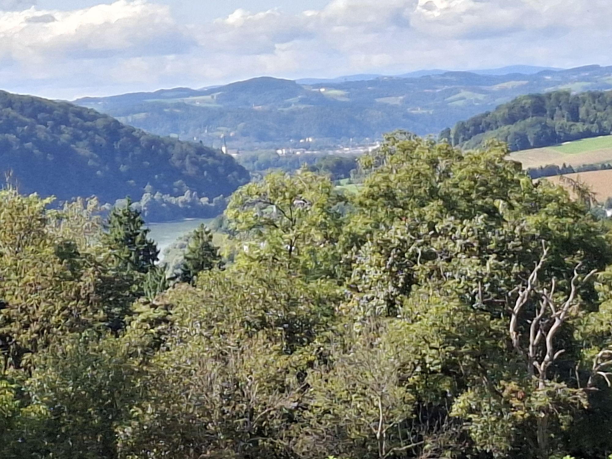
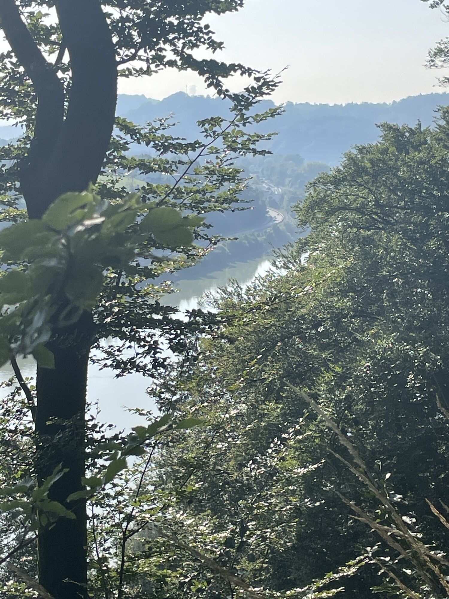
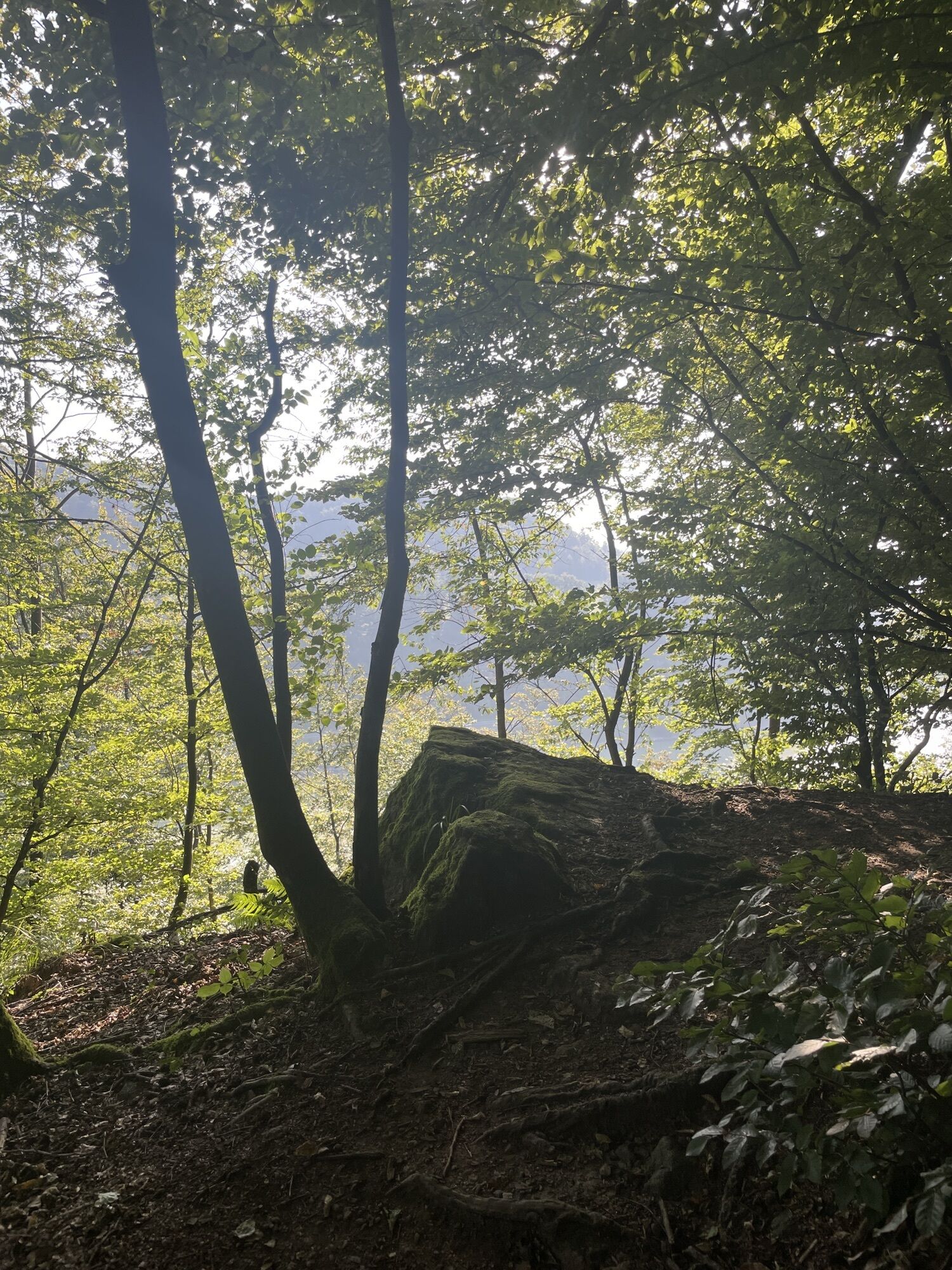
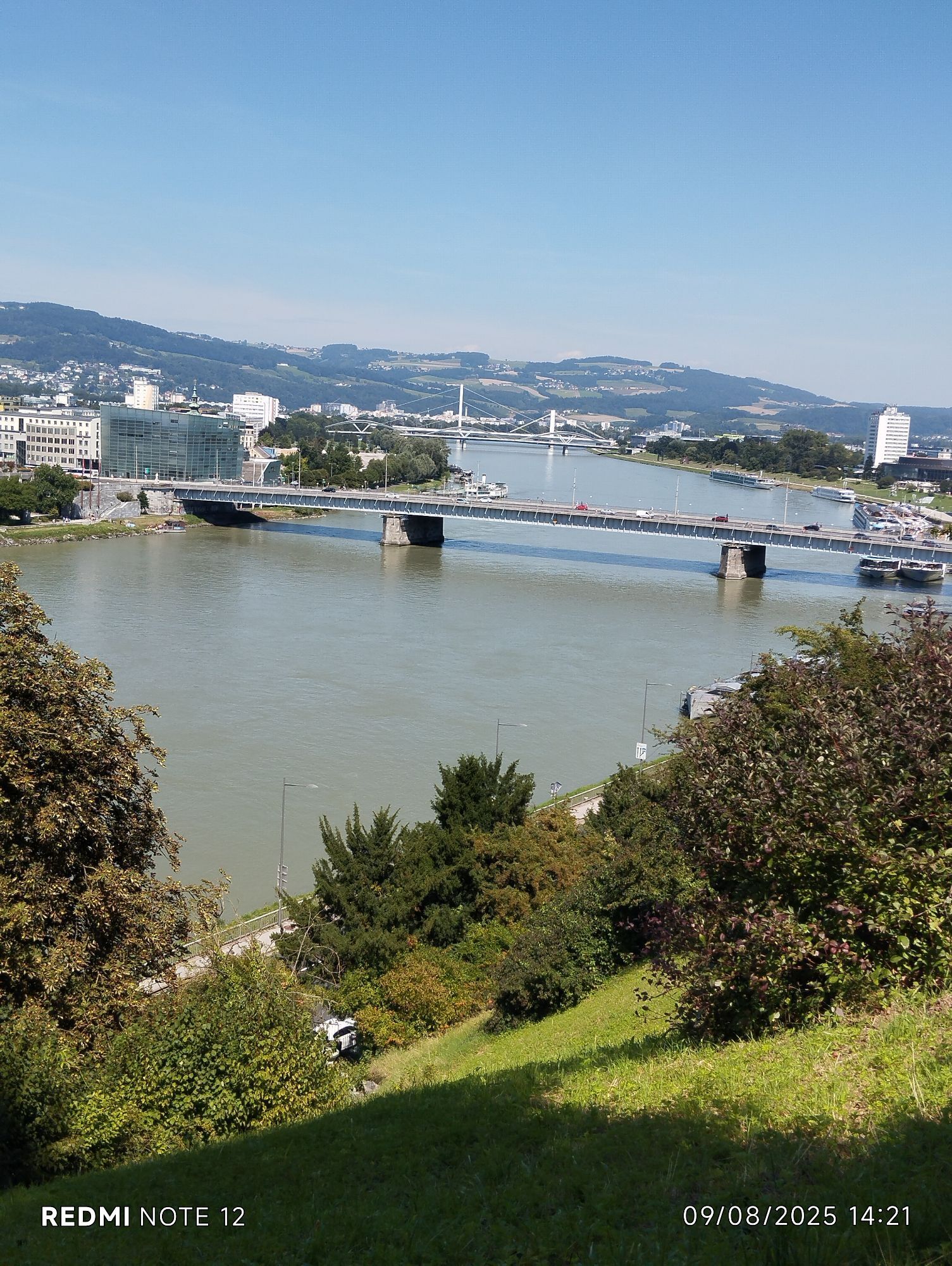
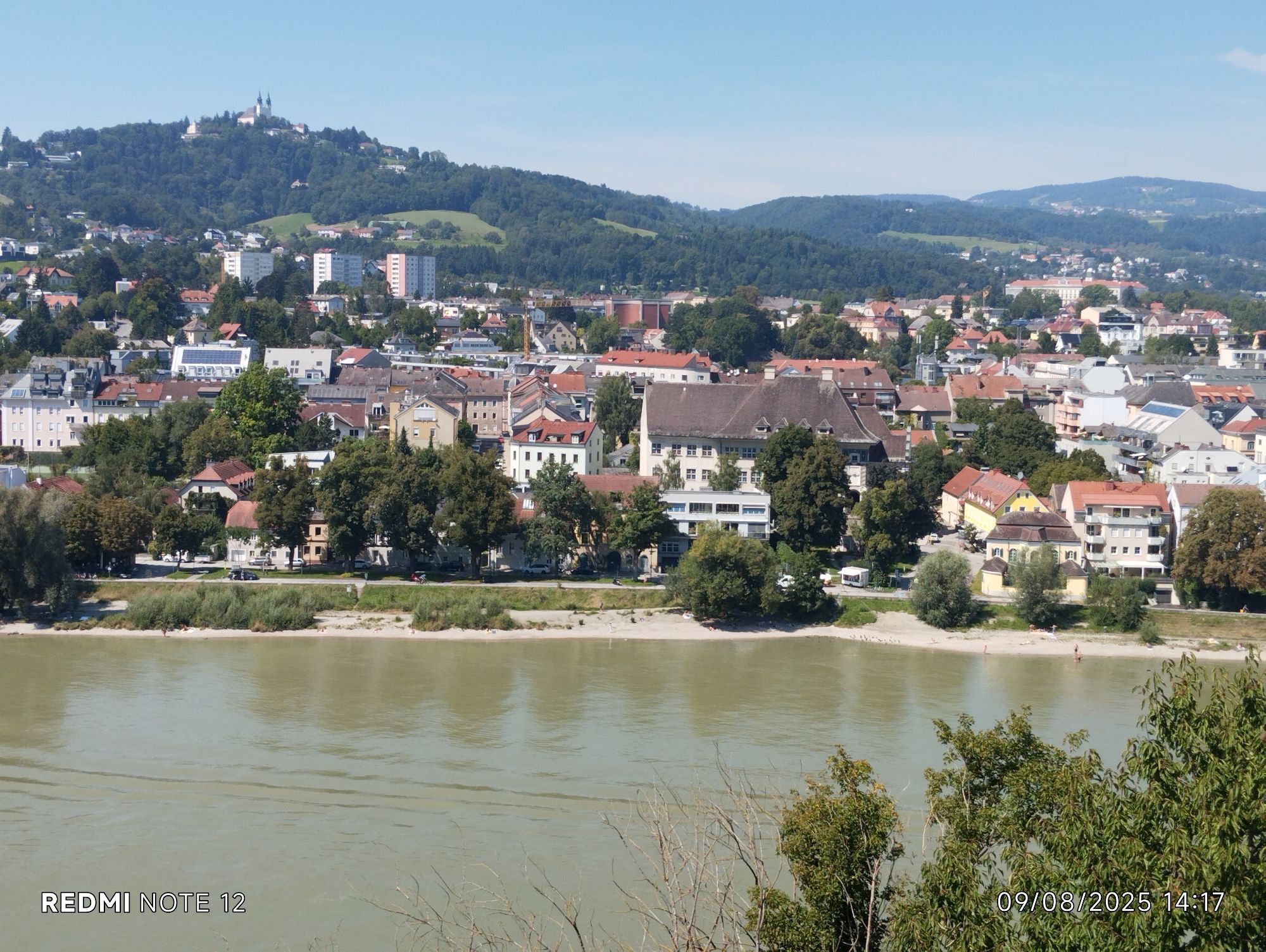
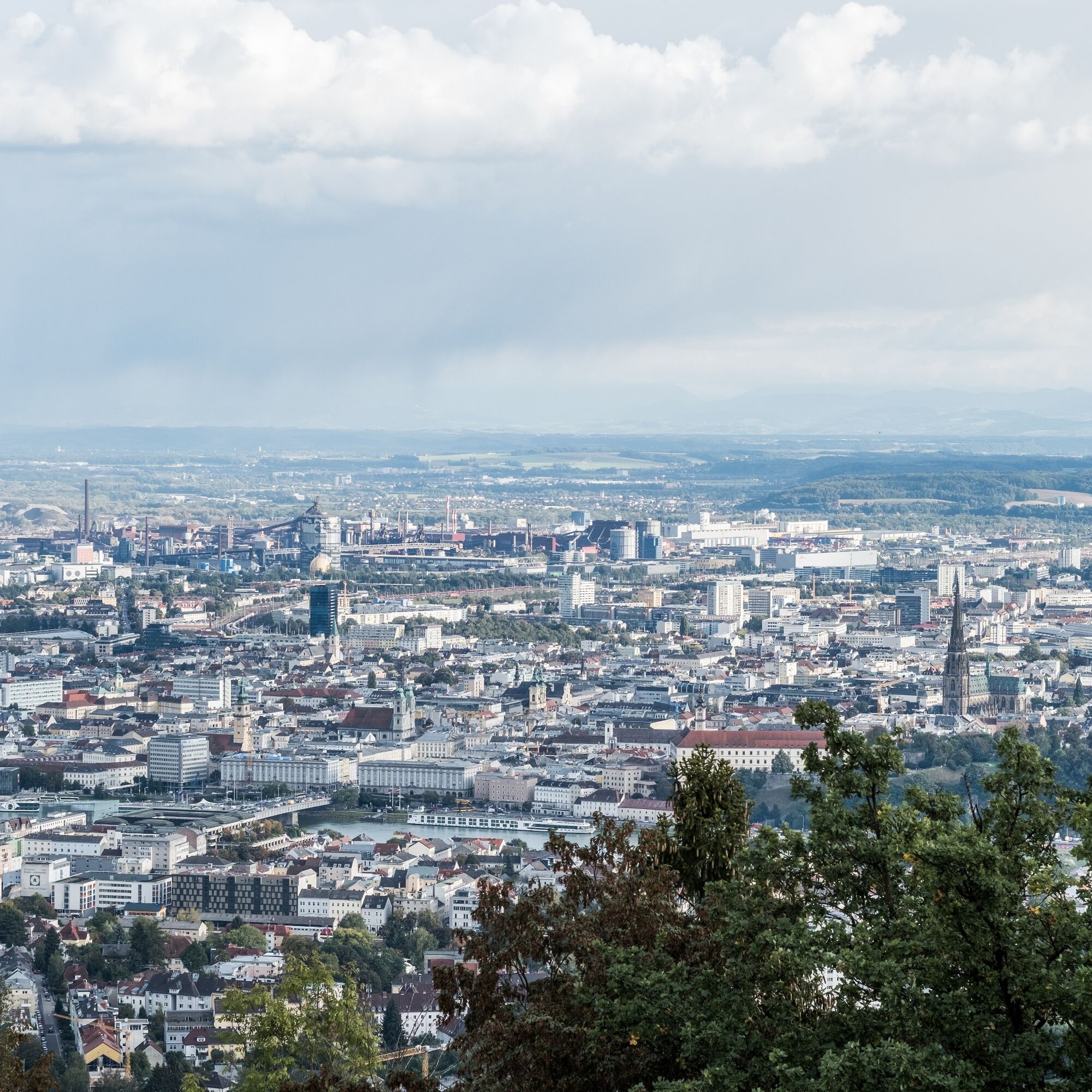
The starting point for this Donausteig stage is the landing of the cable ferry in Wilhering. This former narrow point of the Danube has always been an important connection to today's Mühlviertel and lies at the eastern edge of the fertile Eferding Basin. The towpath leads us from here through atmospheric riverbank forests along the Danube to the magnificent Wilhering Abbey. Impressively, it towers over the rural cultural landscape behind the Danube bank and is a silent symbol of the region's cultivation. The abbey church is considered one of the most beautiful Rococo churches in the German-speaking area and simply amazes! Shortly after the abbey, the wooded Danube Gorge of the Linz Gate begins. The narrow Prinzensteig leads us halfway up the steep valley slopes with gentle ups and downs through the Kürnberg Forest: wonderful mixed forests, hidden deep views of the Danube, an alpine-like path, ... - a pure Donausteig experience! For this wonderful section, surefootedness and a certain freedom from dizziness are required. Later, the narrow hiking trail becomes a forest road. Passing the historic Donausteig rest area “Römerturm,” we reach urban settlement in Friesenegg after a short forest ascent. Here a short detour to Tower 13 of the Maximilian Fortress is worth it. It reveals a lesser-known Besonderheit of Linz and offers a fantastic view over the foothills to the Alps - simply breathtaking! The route continues downhill over residential streets through the villa district of the Zaubertal towards the Danube. Shortly before reaching it, a beautiful forest path almost leveled leads to the hidden pilgrimage chapel Maria Thal on a rocky ledge above the Danube. A few meters uphill, the younger Kalvarienberg church impresses with its figurative depiction of the 12th Stations of the Cross. Through beautiful mixed forest further uphill, we reach at the summit of the Freinberg in a spacious park area the scenic Franz Josefs Watchtower. Congratulations - here we stand at the highest point of this Donausteig stage! From the viewing platform of the watchtower, a wonderful view opens back over the idyllic Danube Gorge of the Linz Gate and over wide parts of the urban Linz Basin – what a striking contrast! After leaving the popular park, we hike downhill through the settlements of the significant Römerberg to the majestic Linz Castle. Here, the successful symbiosis of modern and historic architecture of the castle museum joyfully introduces us to the experience “Cultural Capital Linz.” After a short descent through the beautiful old town, we arrive at the magnificent main square of Linz. Donausteig - simply an experience!
Discover the following highlights with the Donausteig diary:
- Donausteig starting point “Wilhering”
- Danube ferry Ottensheim-Wilhering
- The Danube - a world of its own
- Donausteig starting point “Wilhering Abbey”
- Wilhering Abbey - uniqueness through fire
- Kürnberg Forest - A path for princes
- Donausteig rest area “Römerturm”
- Tower 13 - the Maximilian Fortress
- ...
Download: Donausteig diary stage 3_S05 Wilhering-Linz
ATTENTION: Keep an eye on the opening hours of the Franz Josef Watchtower and the gates of Linz Castle (see diary “Stage: 3_S05 Wilhering-Linz”)!

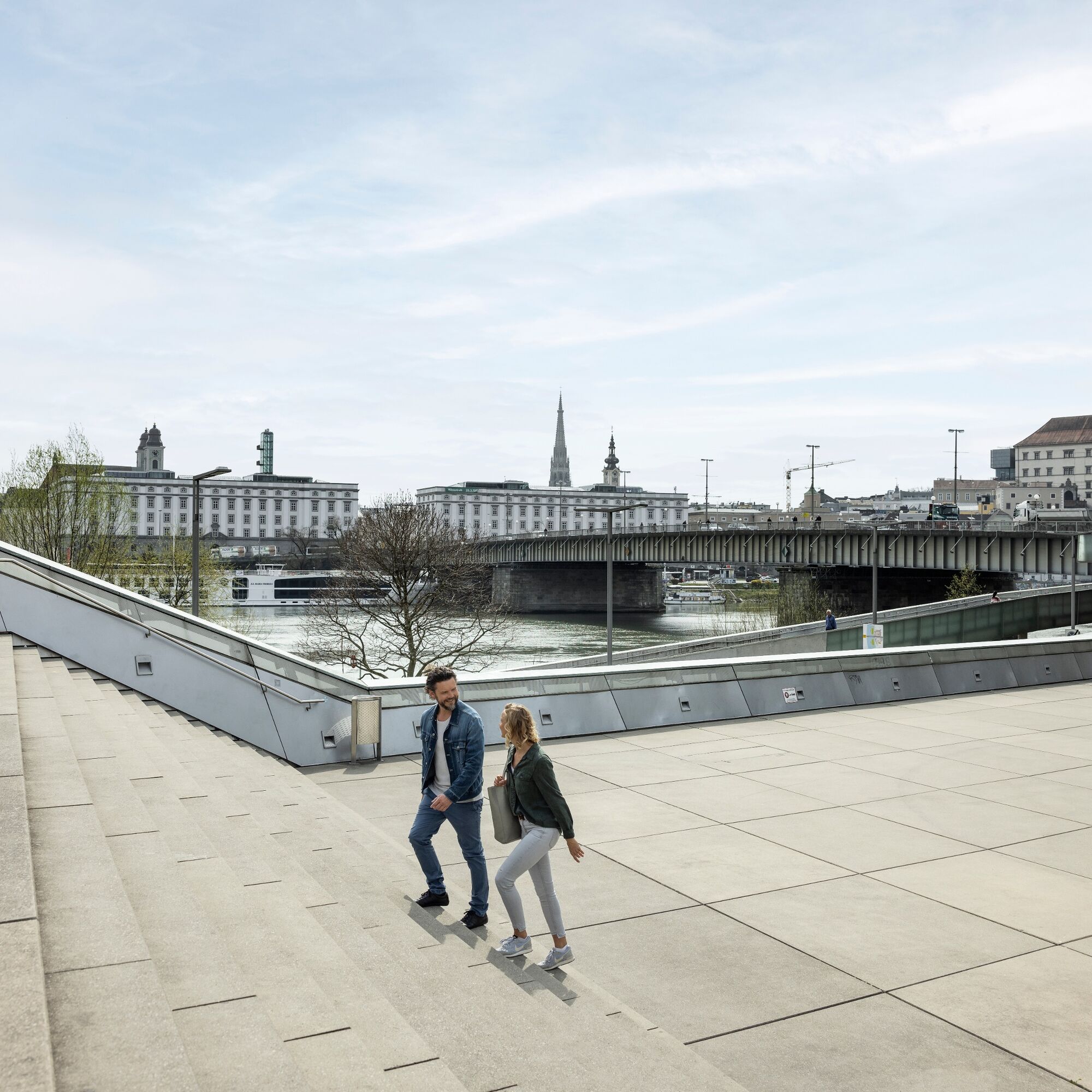
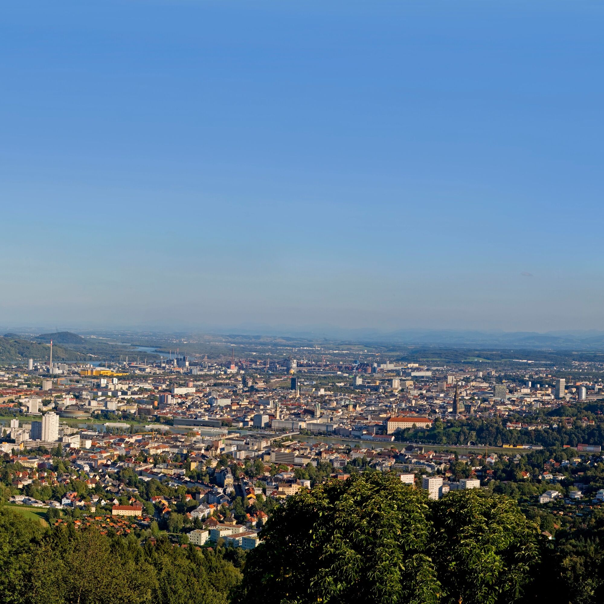
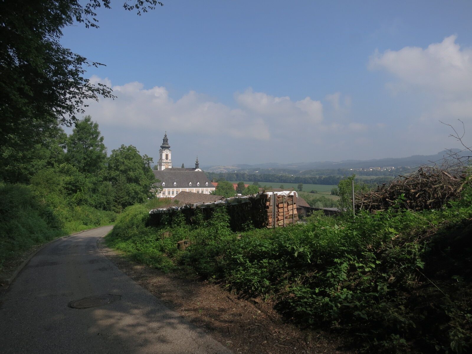
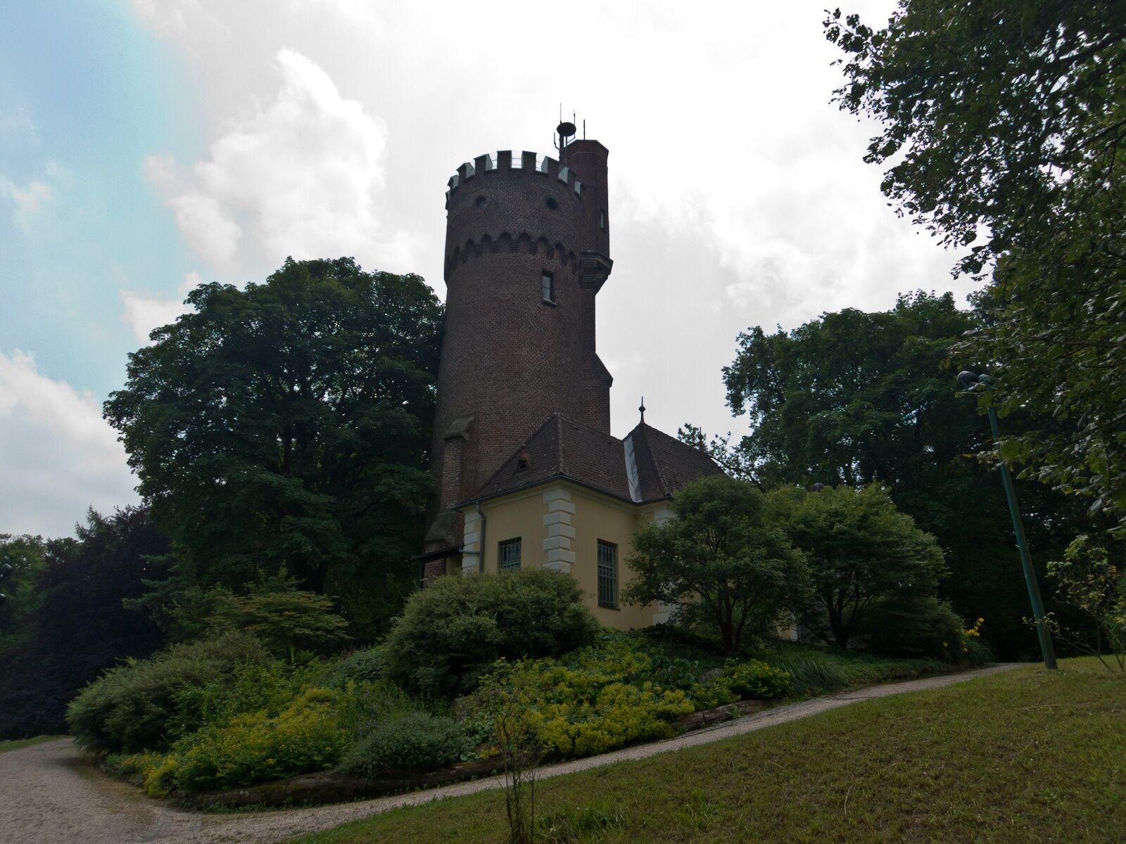
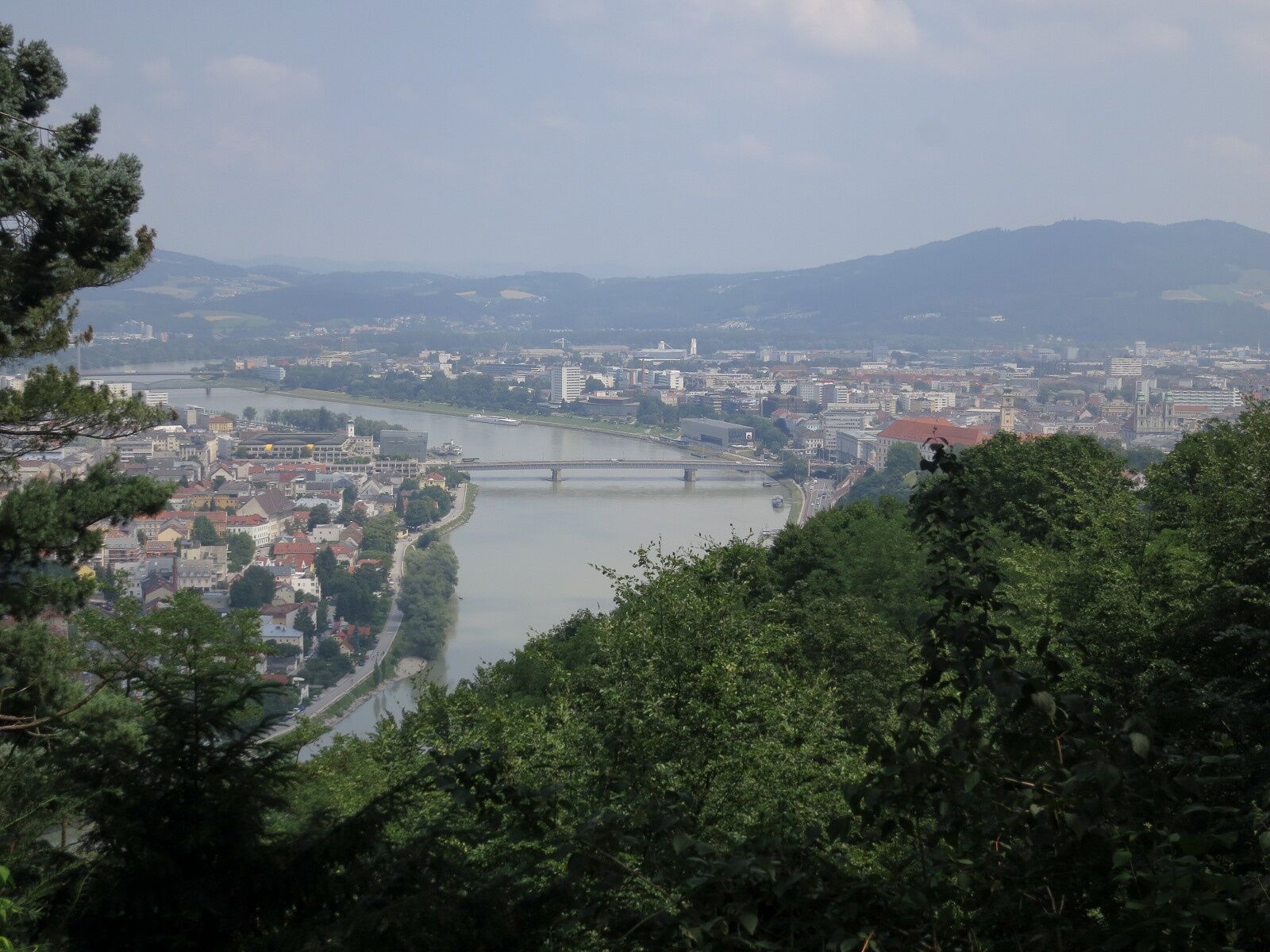
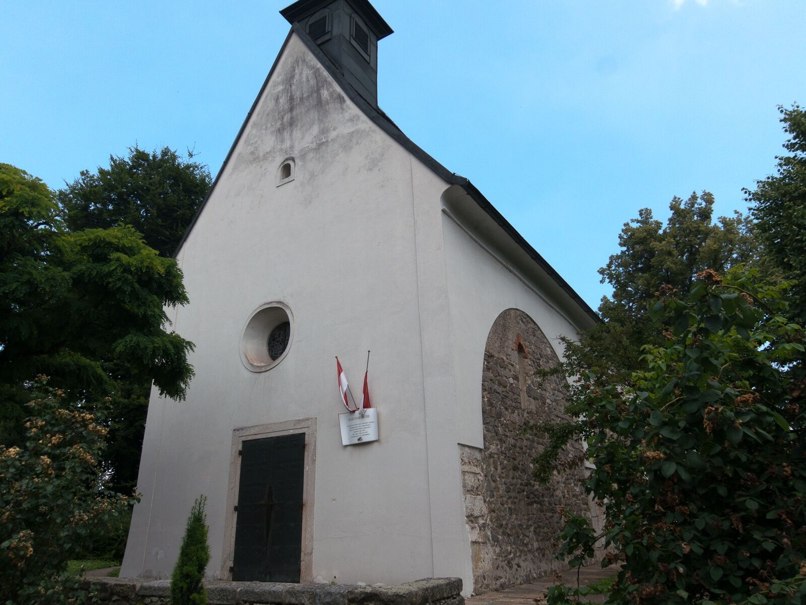

From the Donausteig starting point in Wilhering, we follow the towpath along the Danube downstream to the Donausteig rest area “Wilhering Abbey”. From there, continue briefly along the Danube and then take a sharp bend back via field paths to Wilhering Abbey. We circle the monastery complex on the west side. Passing the large abbey parking lot, we reach the main road B119. Follow this about 400 m towards Linz and at the intersection with Bräuhausstraße, turn half-right going up the asphalted Prinzenweg. At the next houses, the Donausteig turns left. Soon the wide forest road changes into the narrow, partially secured Prinzensteig (surefootedness and a certain freedom from dizziness are necessary here!). Halfway up the steep valley slopes, we hike with gentle ups and downs along the wooded Danube Gorge of the Linz Gate. Once on a forest road again, follow it to the left. Passing the Donausteig rest area “Römerturm” (a few meters off the path), you reach the paved Leondinger Straße. Turn right uphill here and after about 140 m immediately turn left again. Over forest paths uphill, we reach urban settlement at the Donausteig rest area in Friesenegg. At the next T-junction, a short detour to Tower 13 of the Maximilian Fortress is to the right. The Donausteig, however, leads left down Frieseneggerstraße in a long S-curve into the Zaubertal (about 1.5 km) and then further along Zaubertalstraße towards the Danube (about 400 m). After the guesthouse “Zaubertalstüberl,” we cross the stream and reach the pilgrimage chapel Maria Thal via a forest path. Continue uphill to the right to the Kalvarienberg Church. To the left beside its large crucifixion group is a gate; through this, we reach the Franz Josefs Watchtower on the summit of the Freinberg by stairs and park paths. On the descent, we pass the Barbara Chapel and at the end of the Freinberg park reach Römerstraße. This leads us downhill over the Römerberg, past Martinskirche to Linz Castle. We cross its courtyard (observe castle gate opening times!) and at the east portal of the castle take the stairs down left. Here stands one of the two Donausteig starting points in Linz. Walking straight ahead, we reach through the old town the main square of Linz.
To help you orient yourself, the Donausteig has been equipped with its own orientation system - you can find the description here.
ATTENTION: Keep an eye on the opening hours of the Franz Josef Watchtower and the gates of Linz Castle (see diary “Stage: 3_S05 Wilhering-Linz”)!
Tak
Besides suitable footwear for the partially secured Prinzensteig, there are no special requirements in addition to your personal hiking equipment.
From Wilhering Abbey, follow the main road about 1 km northwest and turn right at the long left curve to the Ottensheim-Wilhering ferry. (GPS: A-4073 Wilhering, ferry or riverside path).
There are only a few parking spaces at the ferry terminal. The next larger parking lot (unrestricted, free) is located at Wilhering Abbey (about a 20-minute walk along the bike path next to the main road).
WGD Donau Oberösterreich Tourismus GmbH
Lindengasse 9
4040 Linz, Austria
Tel. +43(0)732/7277-800
Fax. +43(0)732/7277-804
info@donausteig.com
Wilhering Municipal Office
Linzer Str. 14
4030 Wilhering
Tel.: +43(0)7226/2255
Fax: +43(0)7226/3095
gemeinde@wilhering.ooe.gv.at
www.wilhering.at
Tourist Information Linz
Hauptplatz 1
4020 Linz
Tel. +43 732/7070 2009
Fax: +43 732/7070 54 2009
www.linz-tourismus.info and www.linz.at/tourismus
End this wonderful stage with a cultural evening event in Linz – connecting Donau Steig & culture!

 Uzyskaj wgląd
Zawsze na żywo z ponad 9 500 kamer internetowych. bergfex Jako użytkownik Pro, możesz teraz zobaczyć odpowiednie kamery internetowe dla wielu wycieczek w aplikacji wycieczki od. Pozwala to na bezpośredni podgląd aktualnych warunków.
Uzyskaj wgląd
Zawsze na żywo z ponad 9 500 kamer internetowych. bergfex Jako użytkownik Pro, możesz teraz zobaczyć odpowiednie kamery internetowe dla wielu wycieczek w aplikacji wycieczki od. Pozwala to na bezpośredni podgląd aktualnych warunków.


Popularne wycieczki w okolicy
-
4,6
Kirschblütenrunde Scharten
średniWędrówka 11,6 km -
4,7
Prinzensteig Rundweg
światłoWędrówka 13,7 km -
4,4
Linz: City Hiking Trail Pöstlingberg
średniWędrówka 7,71 km -
4,7
Steyregg Donau-Höhen-Rundwanderweg Pulgarn - Hohenstein (und zurück)
światłoWędrówka 7 km -
4,7
Steyregg Pfenningberg-Gipfelwanderweg
średniWędrówka 4 km -
4,4
Ottensheim: Danube Panorama Route
średniWędrówka 8,14 km -
5,0
Steyregg AV 50 Plesching - GH Daxleitner
światłoWędrówka 4 km -
4,9
Kreuzweg auf den Pöstlingberg Linz, Österreich
światłoWędrówka 1,30 km -
4,1
Kürnbergwald - kurzer Rundwanderweg
światłoWędrówka 9,46 km -
4,5
Gramastetten: 3 Streams - 4 Mountains Route
Wędrówka 15,4 km
Wędrówki i tropienie


Nie przegap ofert i inspiracji na następne wakacje
Twój adres e-mail została dodana do listy mailingowej.





