






Upper Austria Mariazell Way: B: Classic Upper Austria Mariazell Way for athletic pilgrims - 7 daily stages

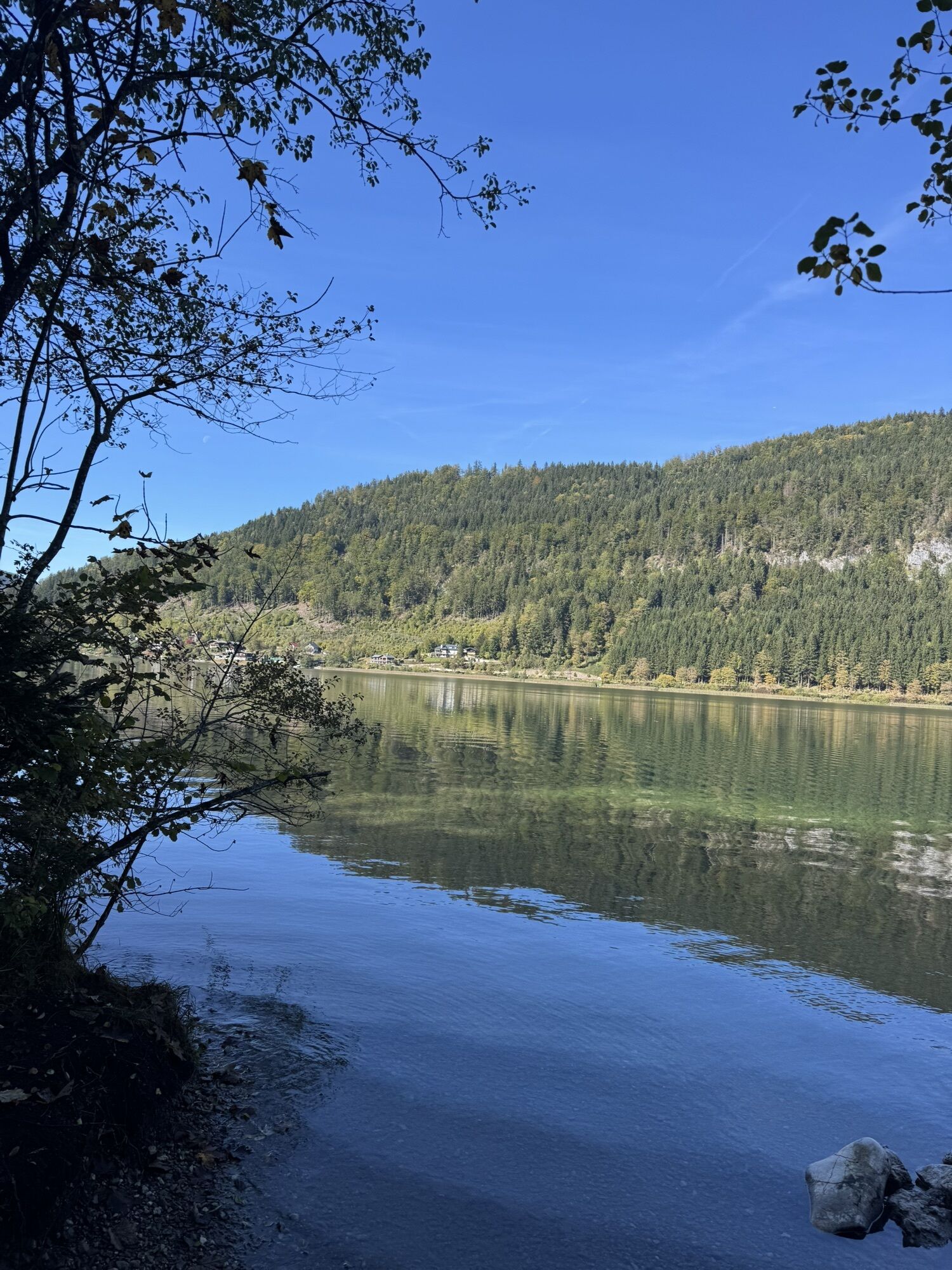
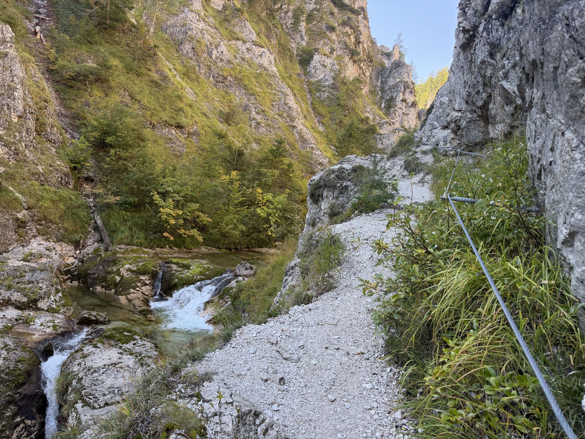
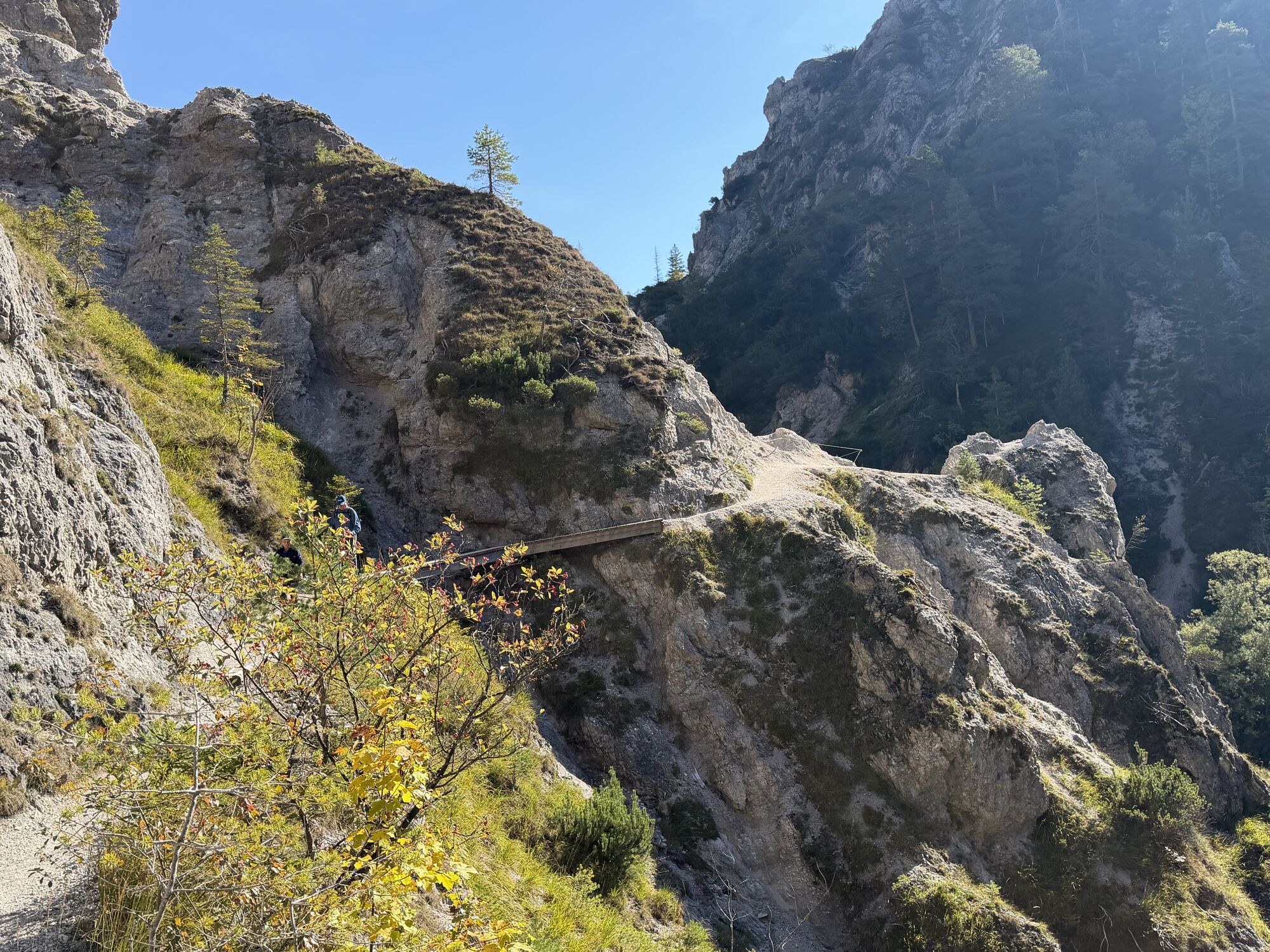
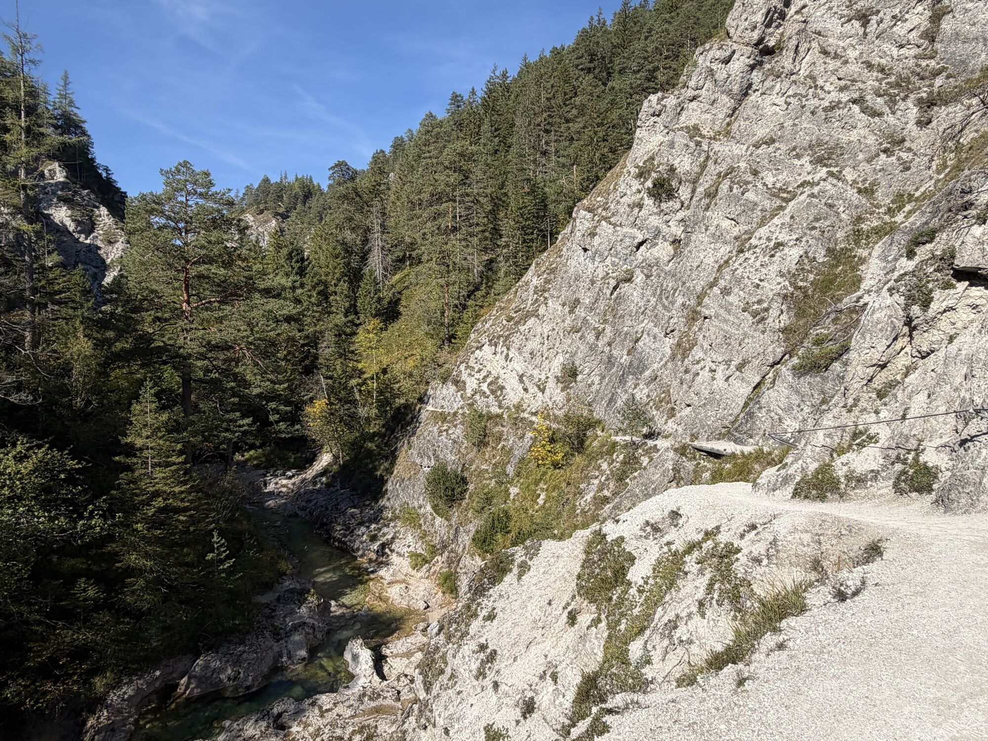
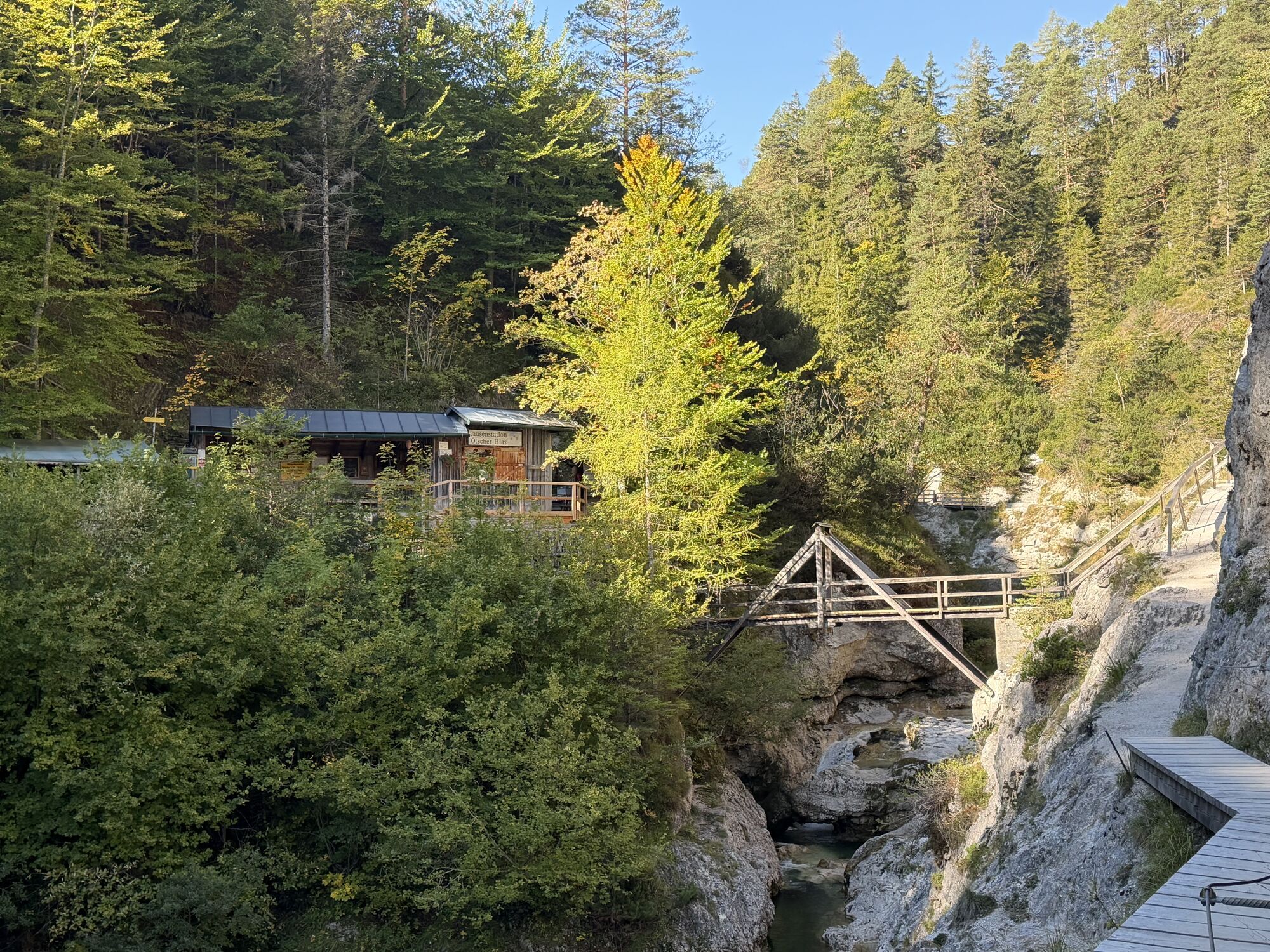
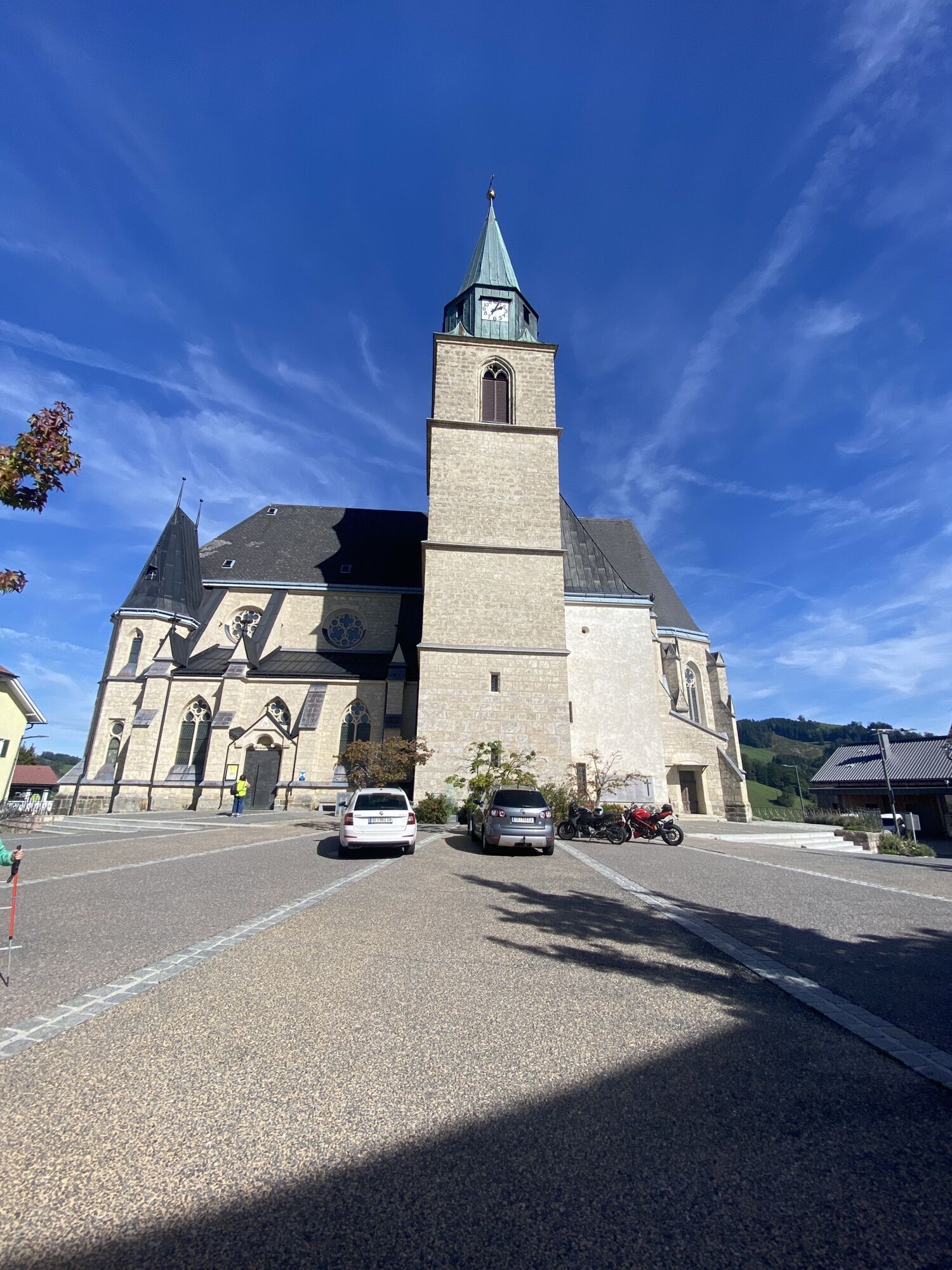
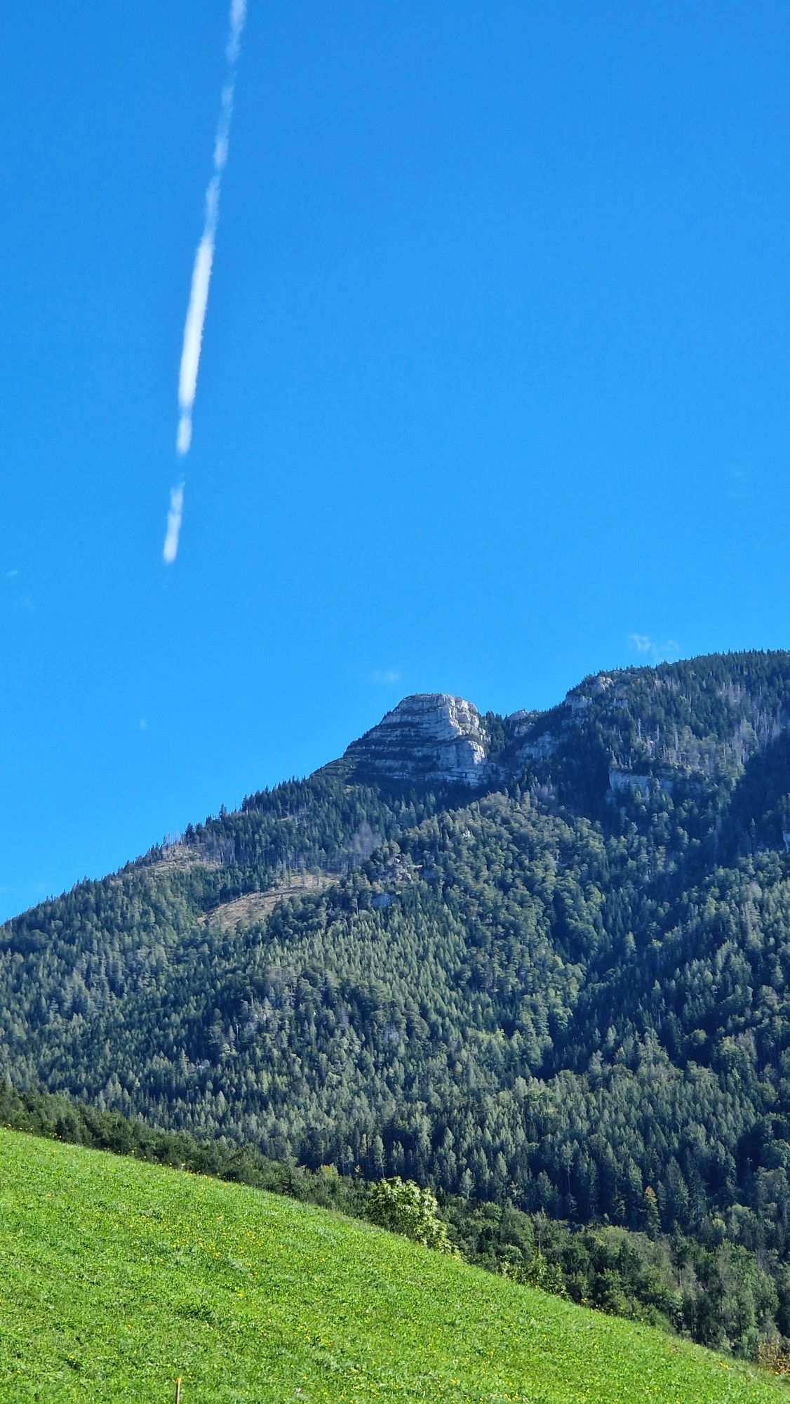
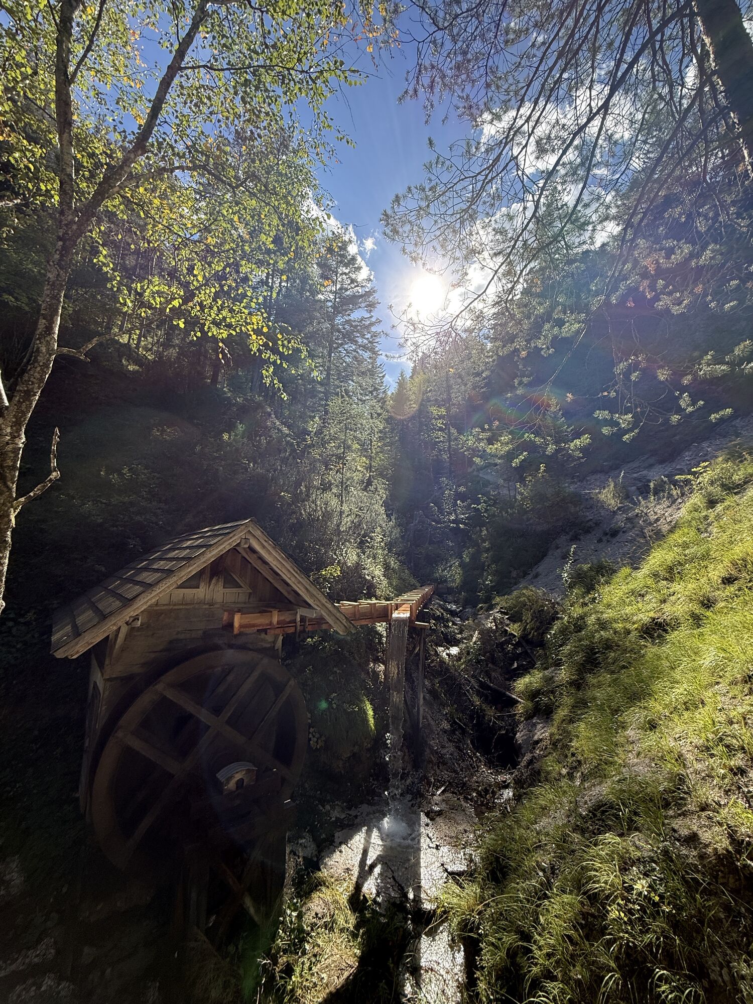
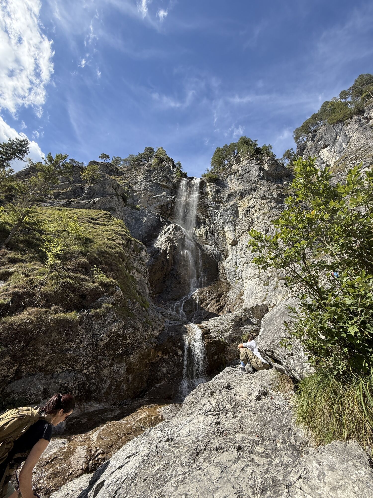
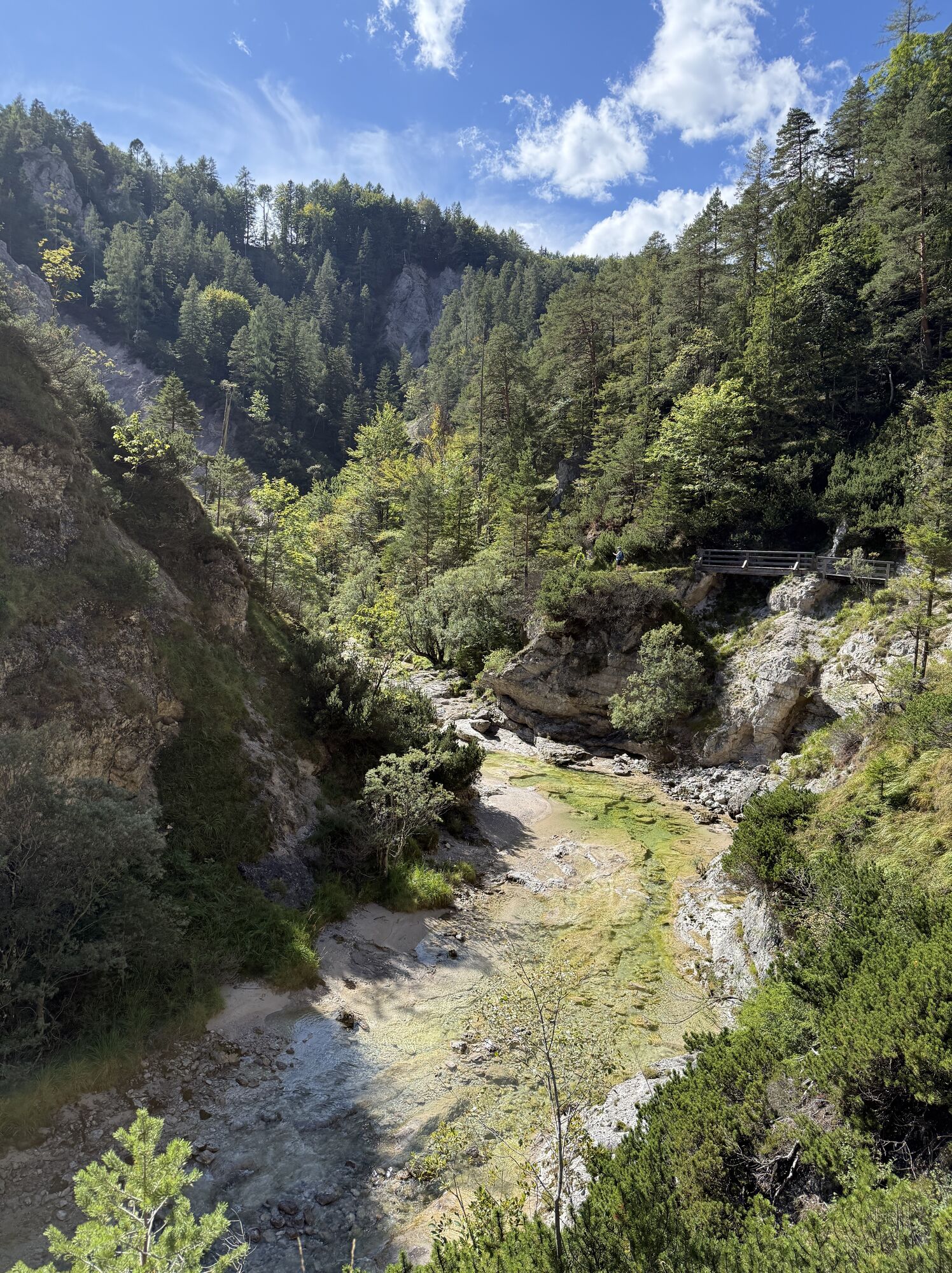
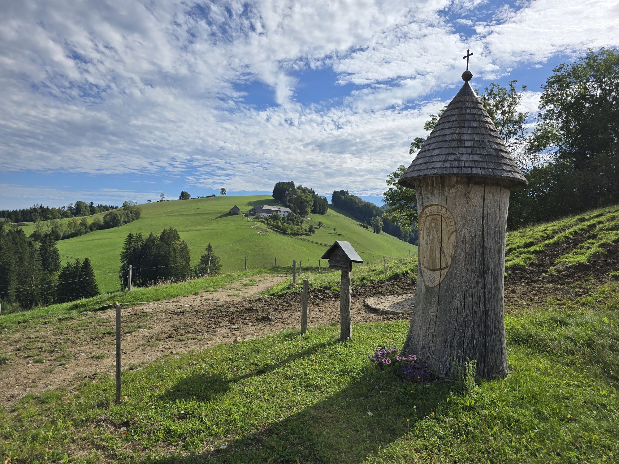
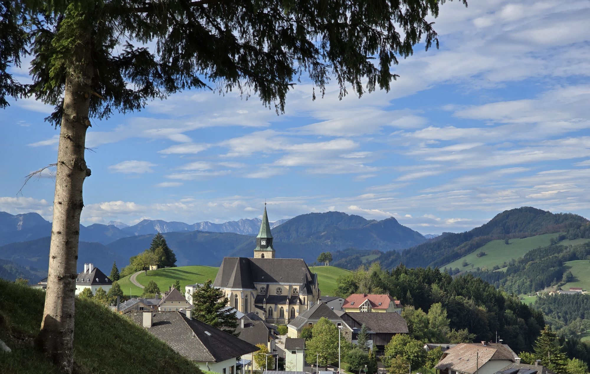
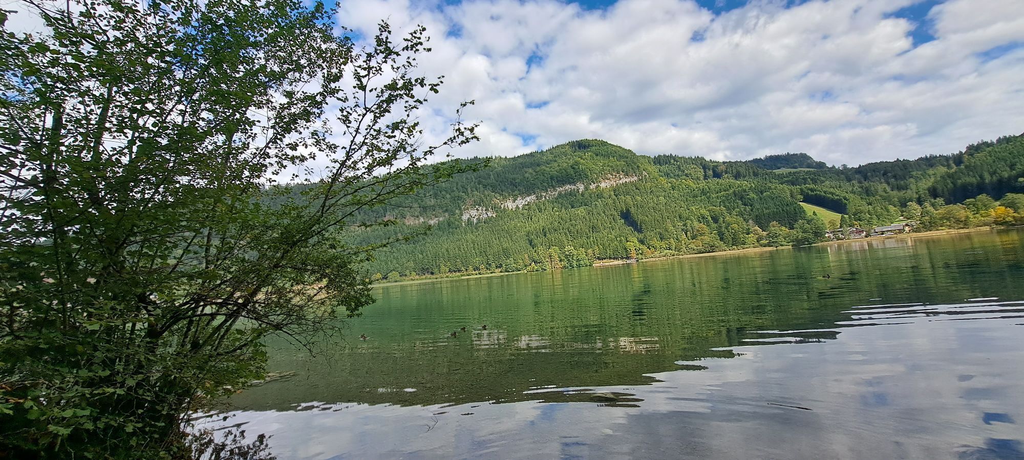
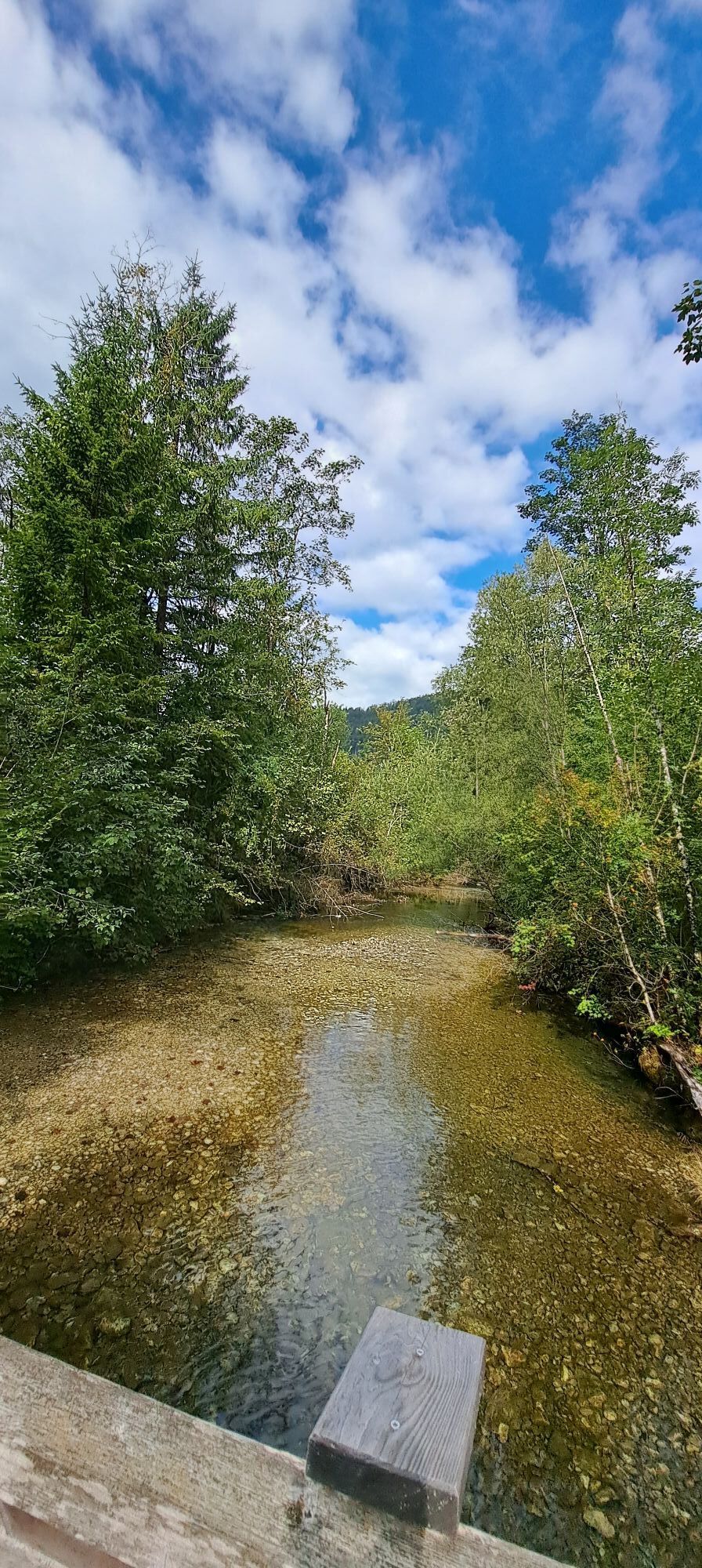
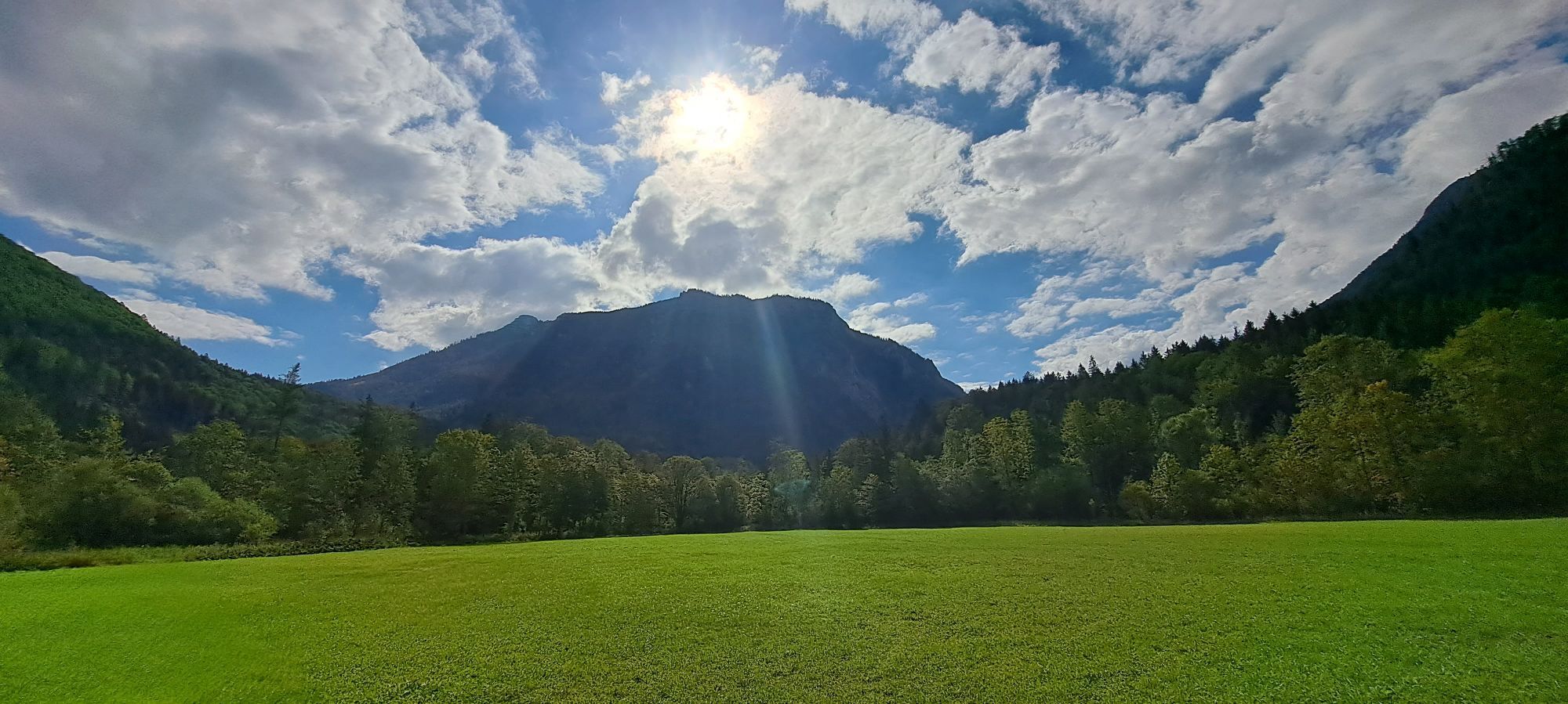

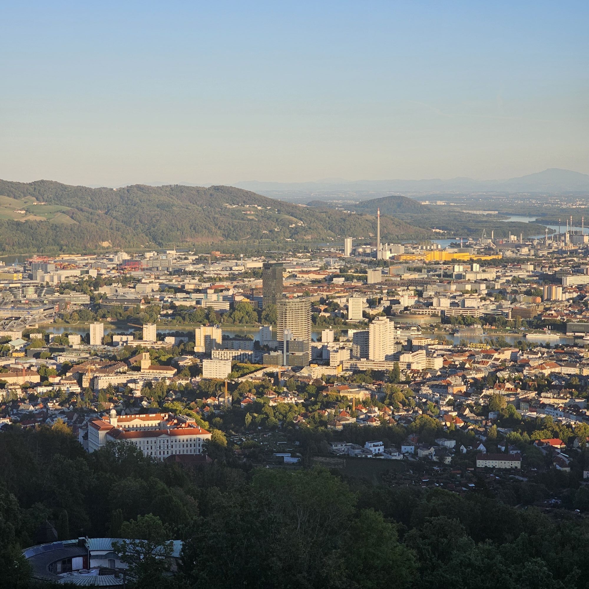
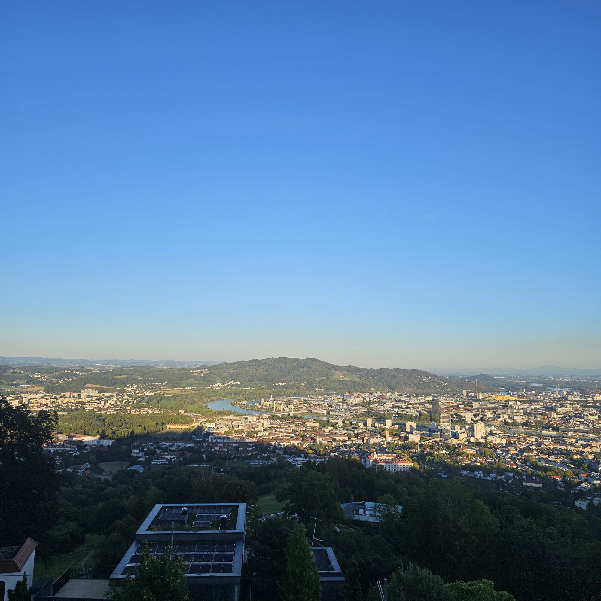
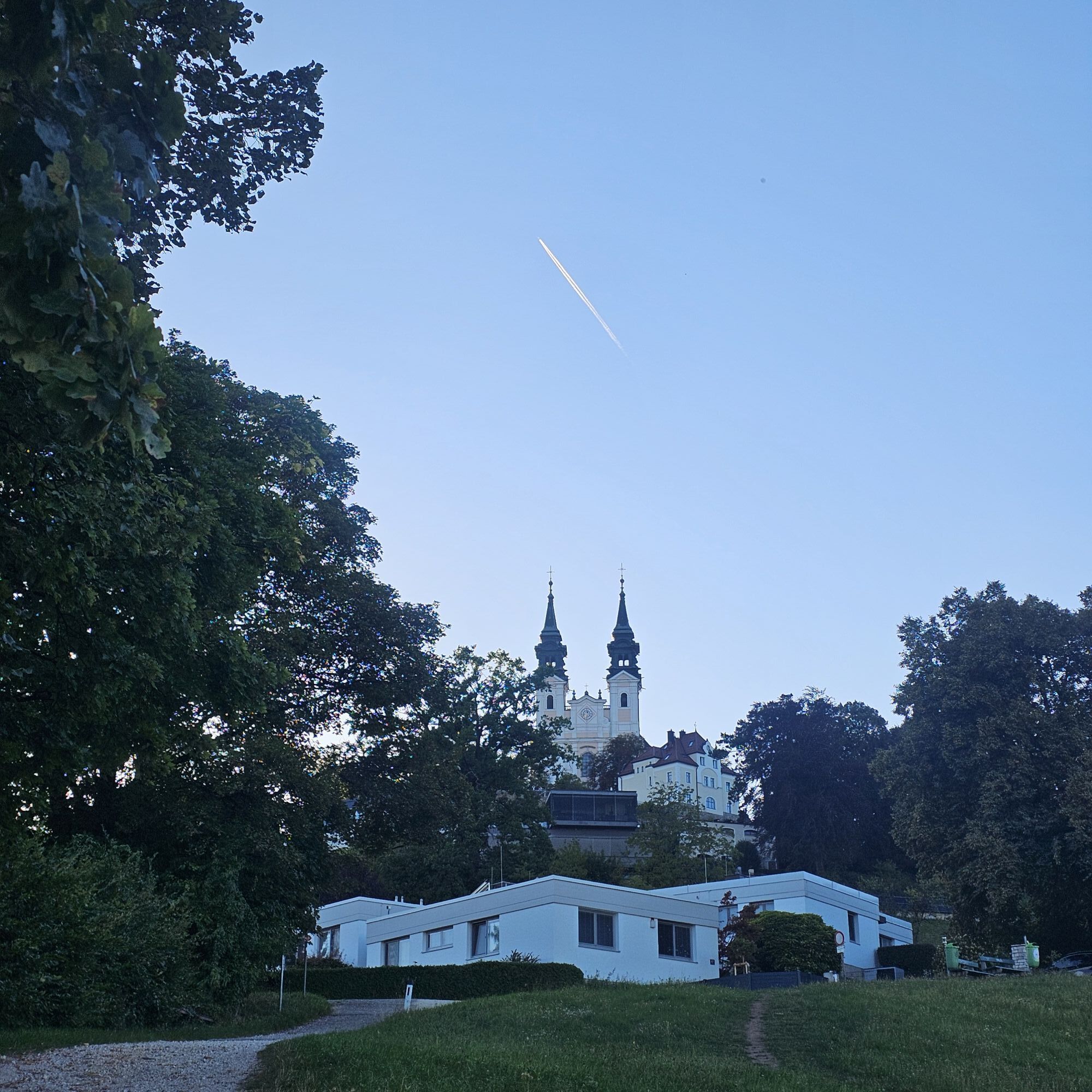
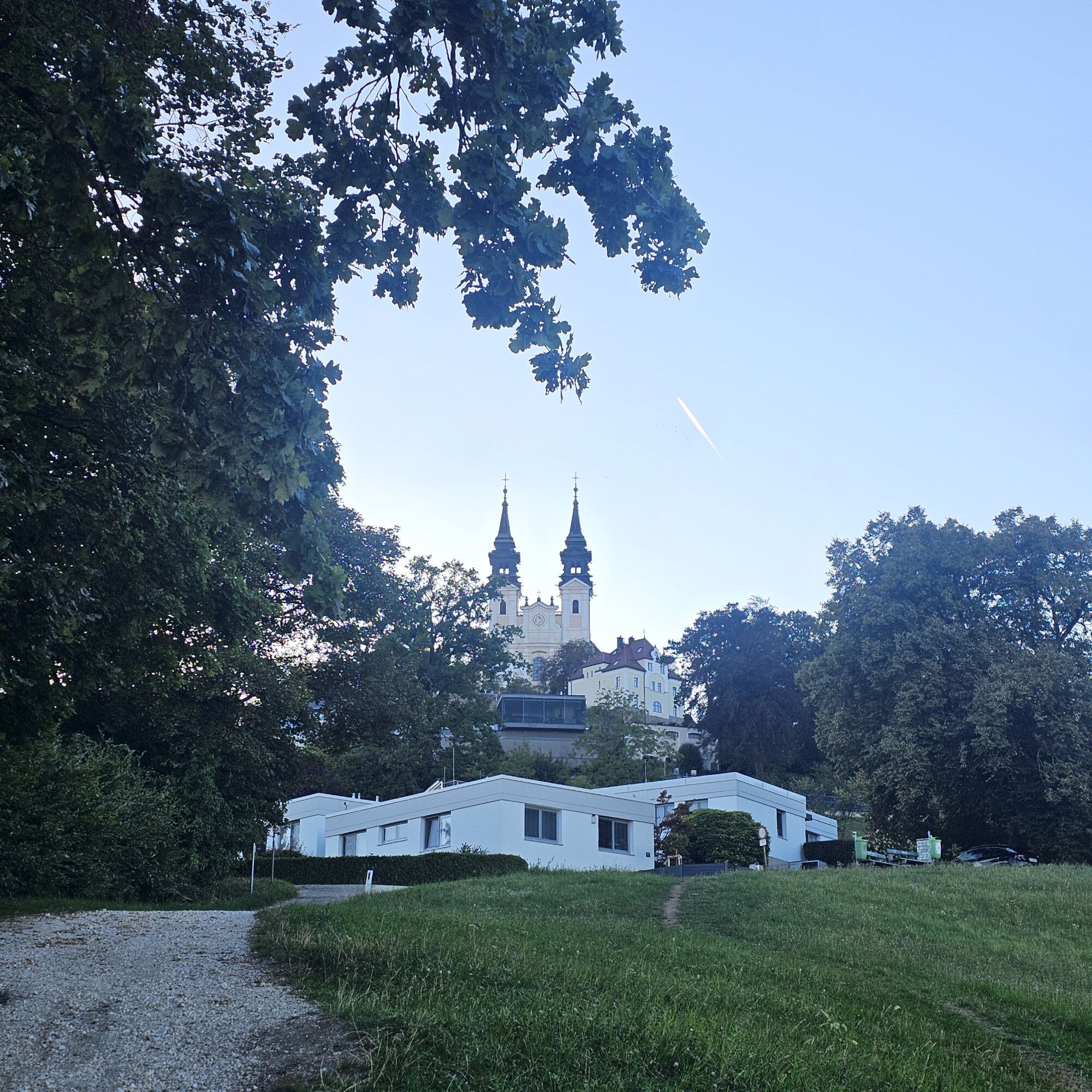
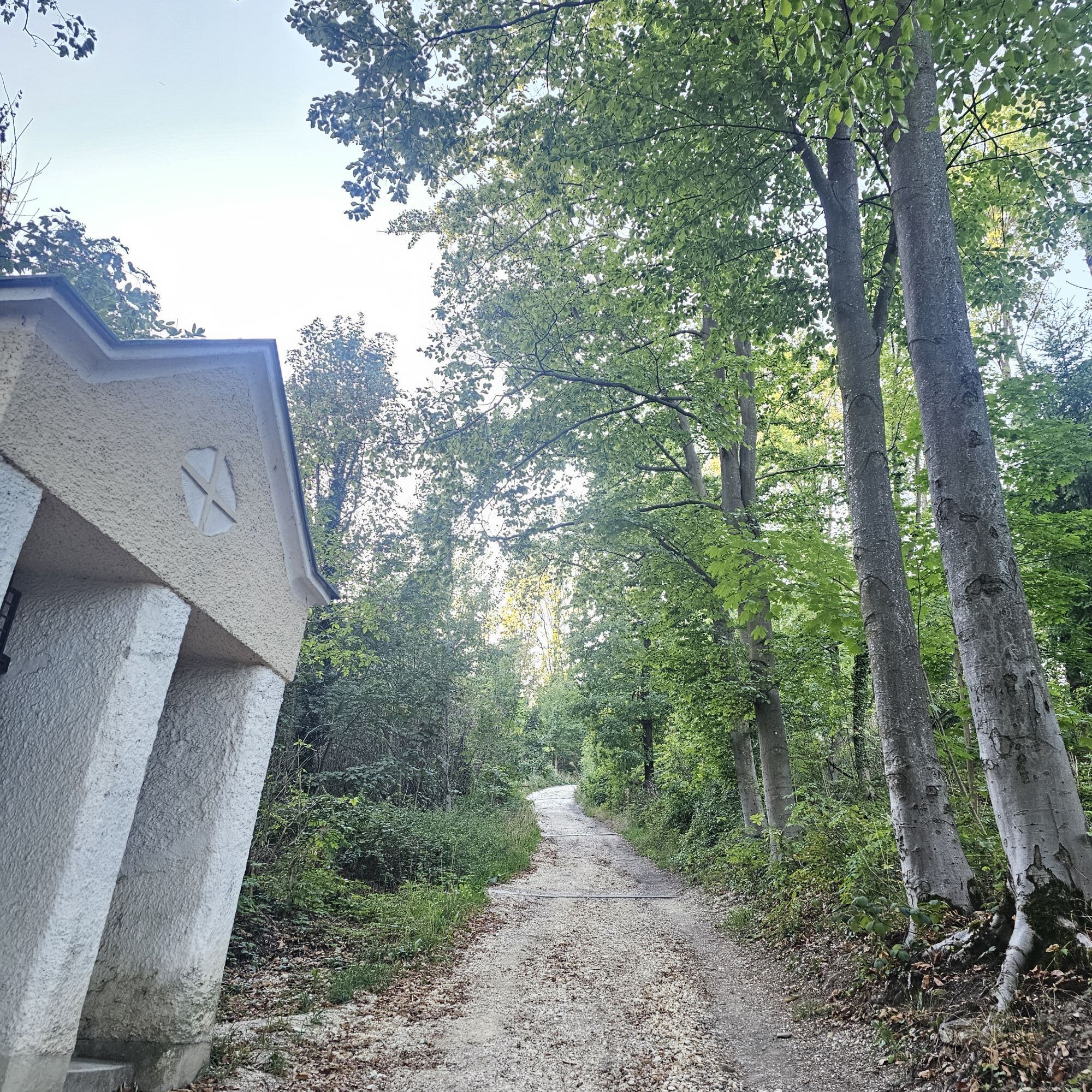
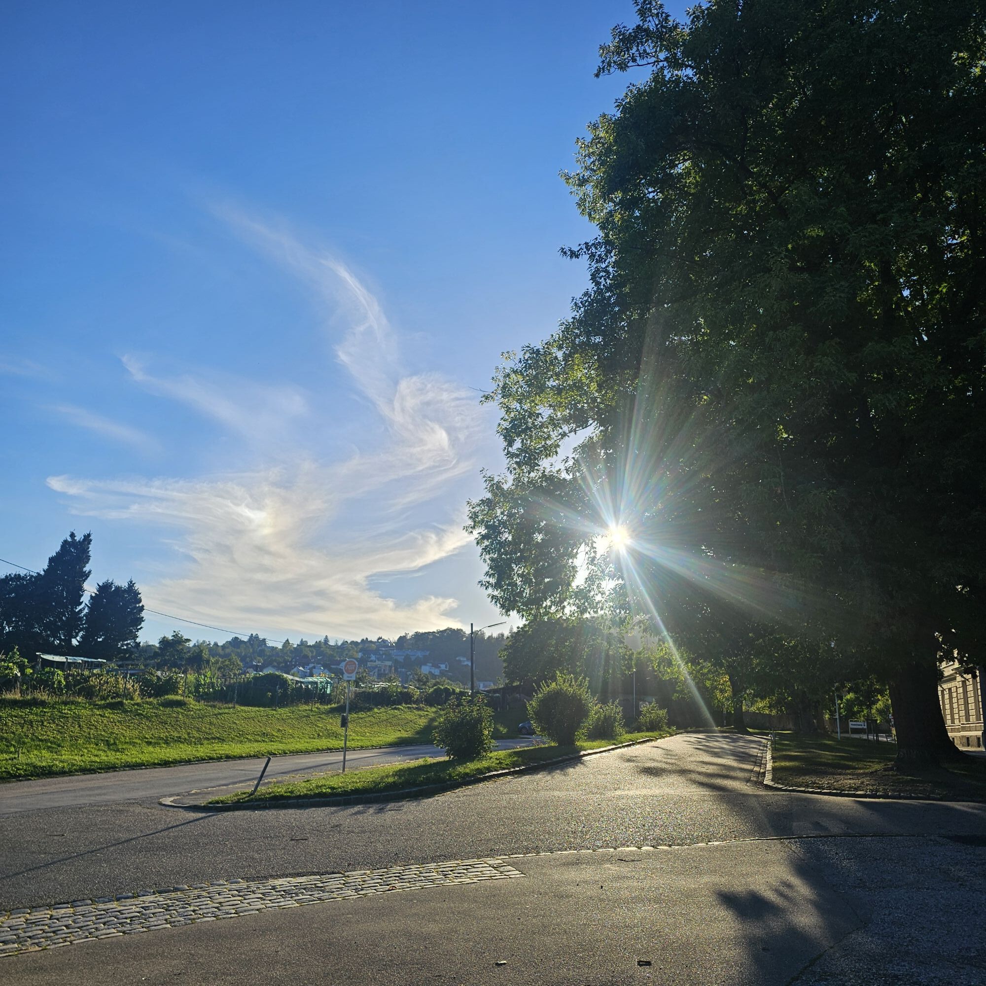
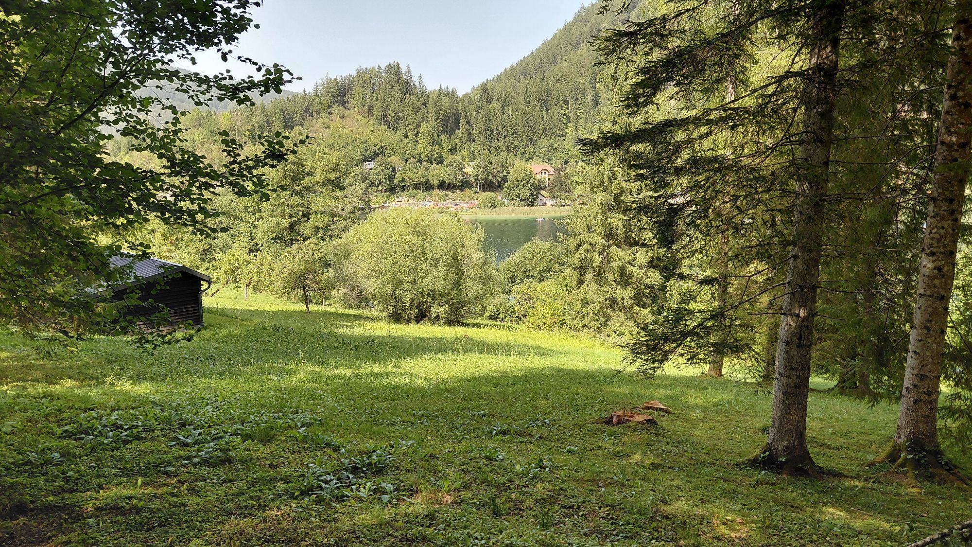
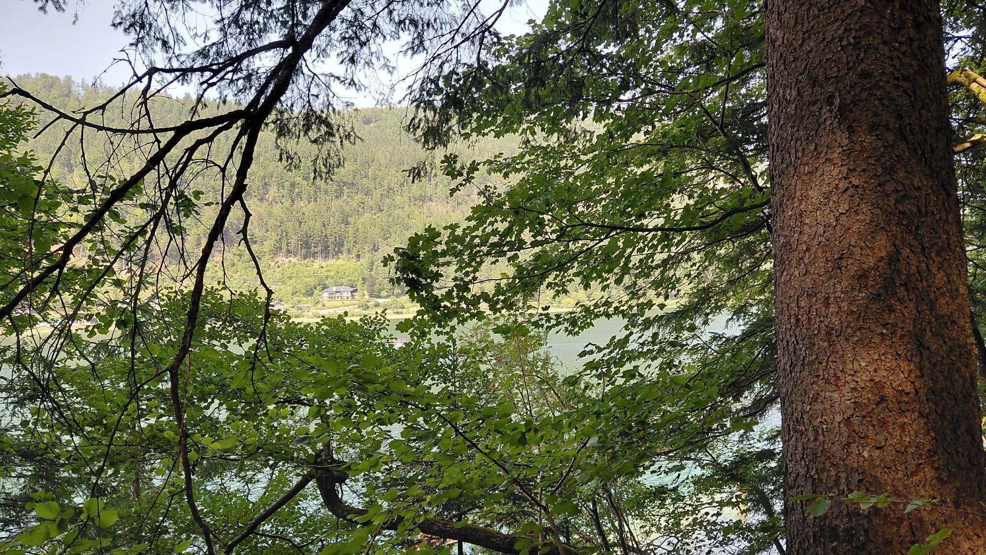
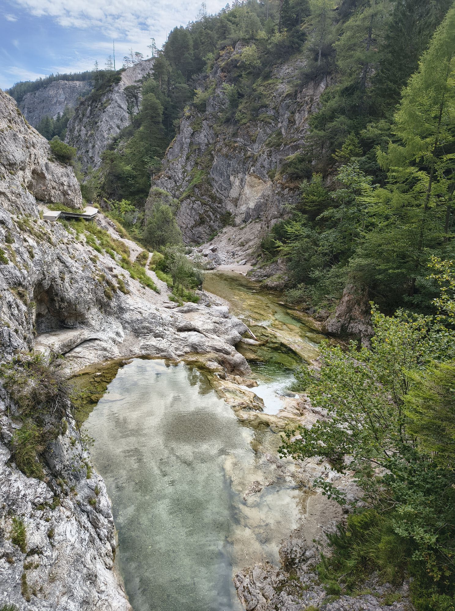
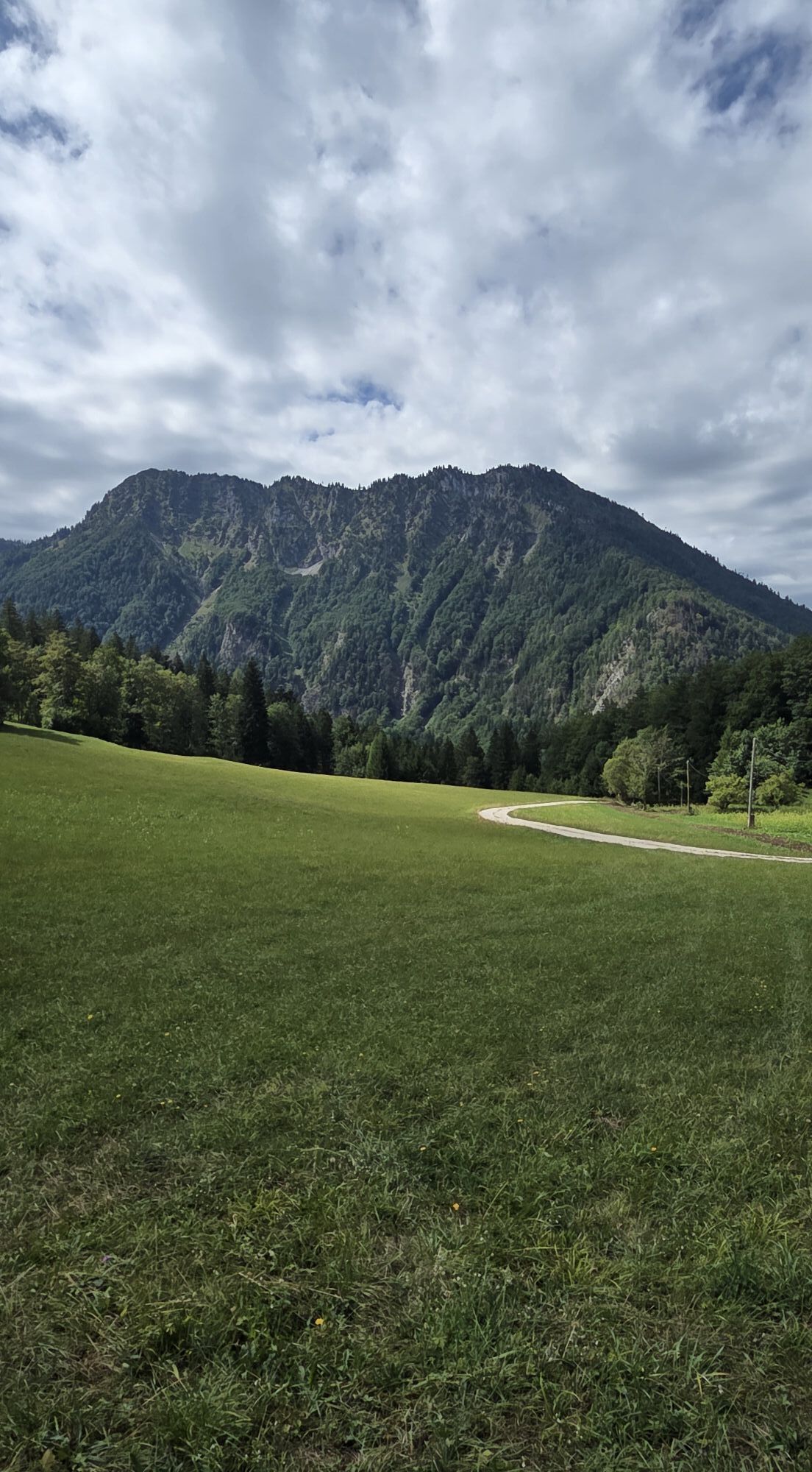
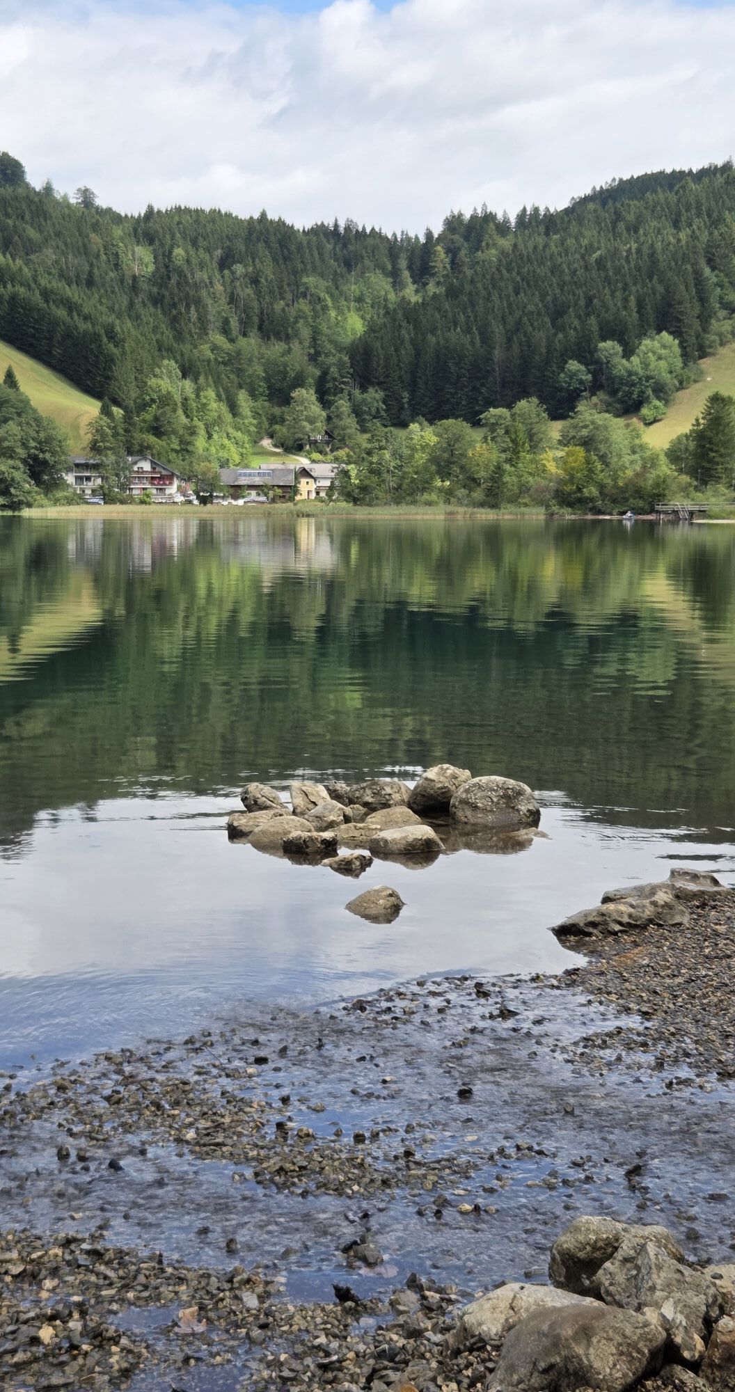
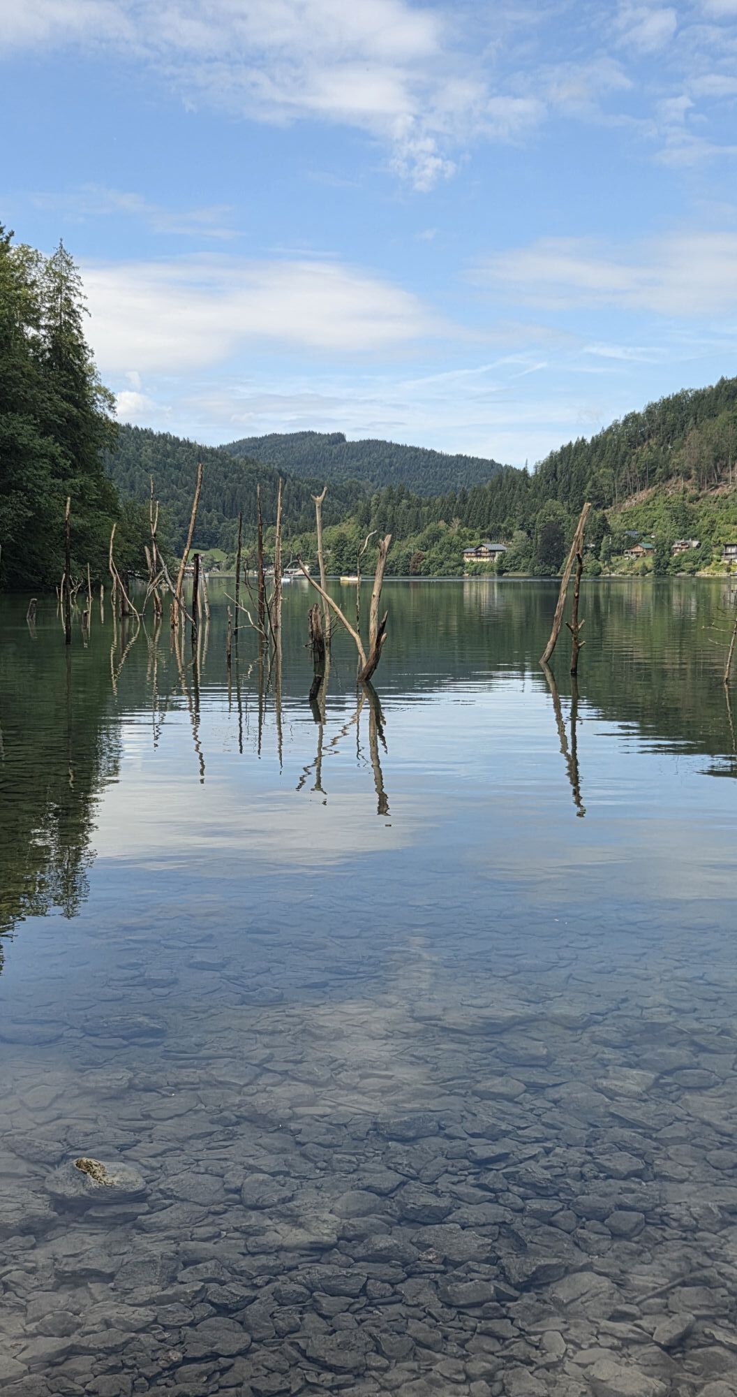
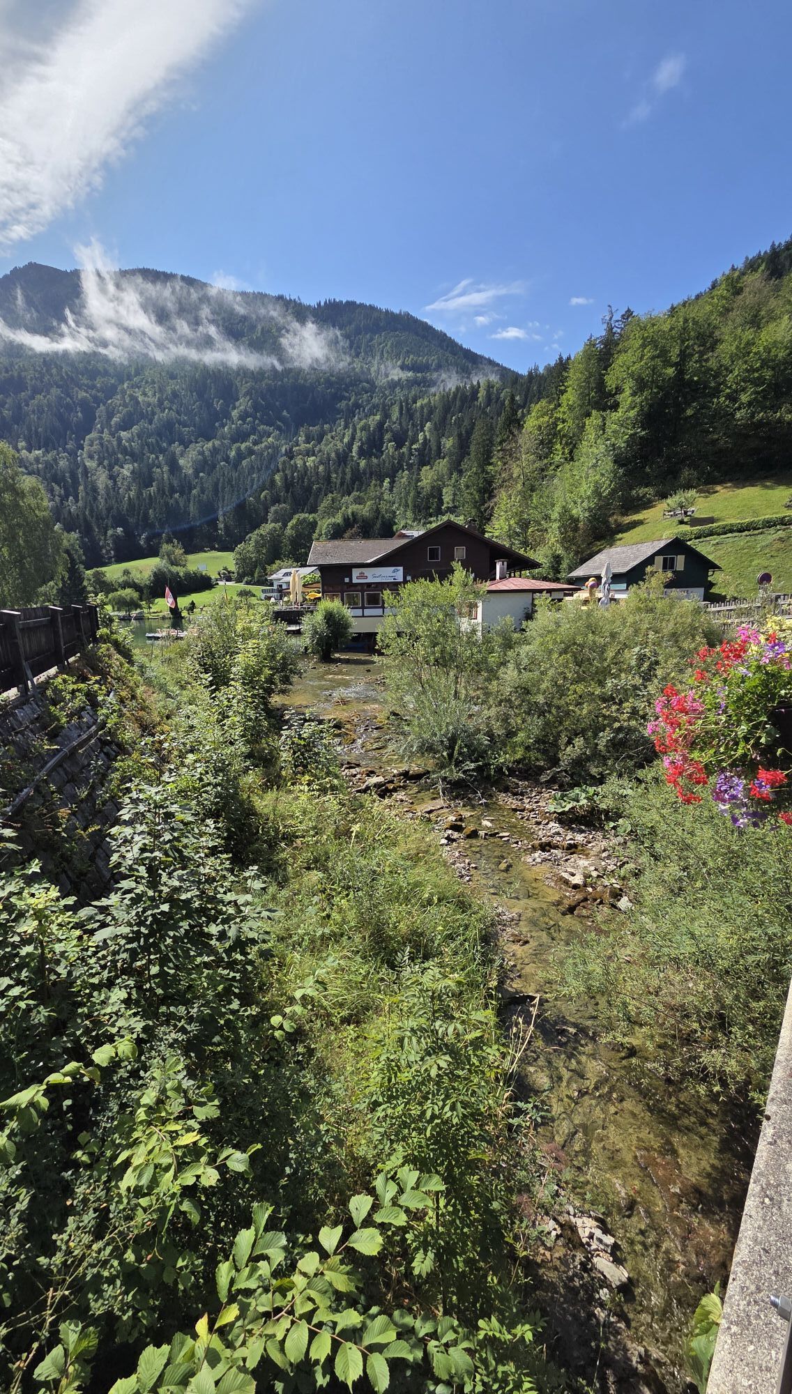
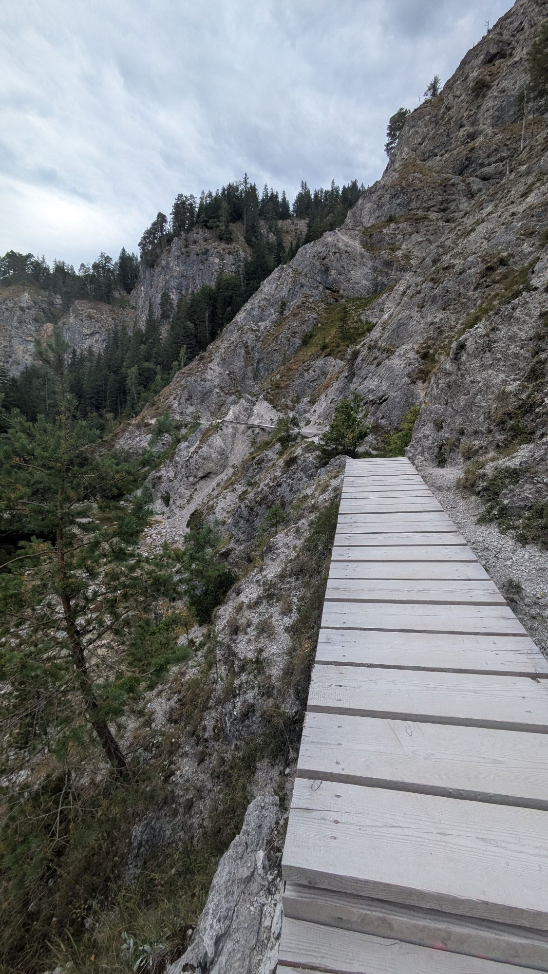
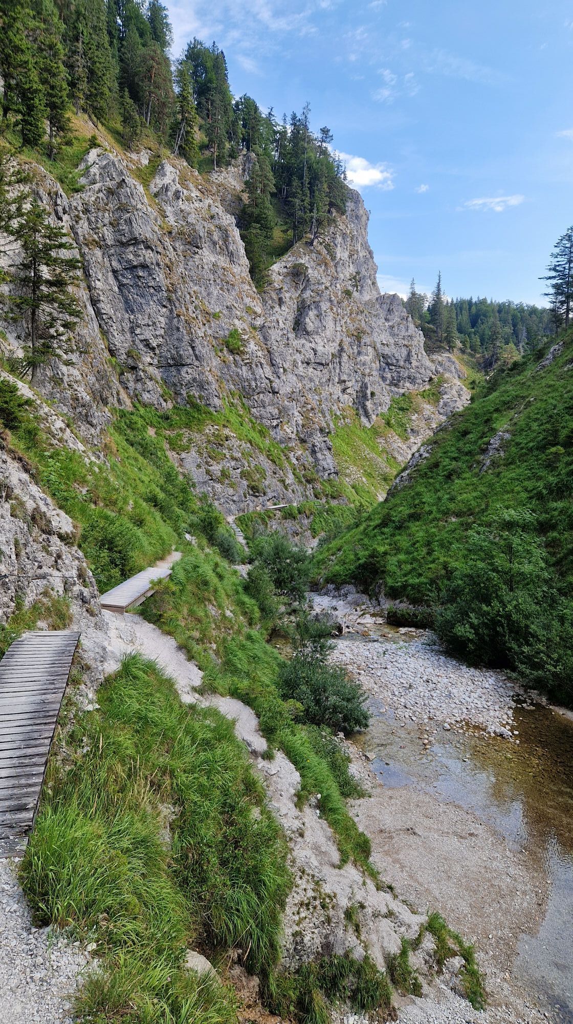
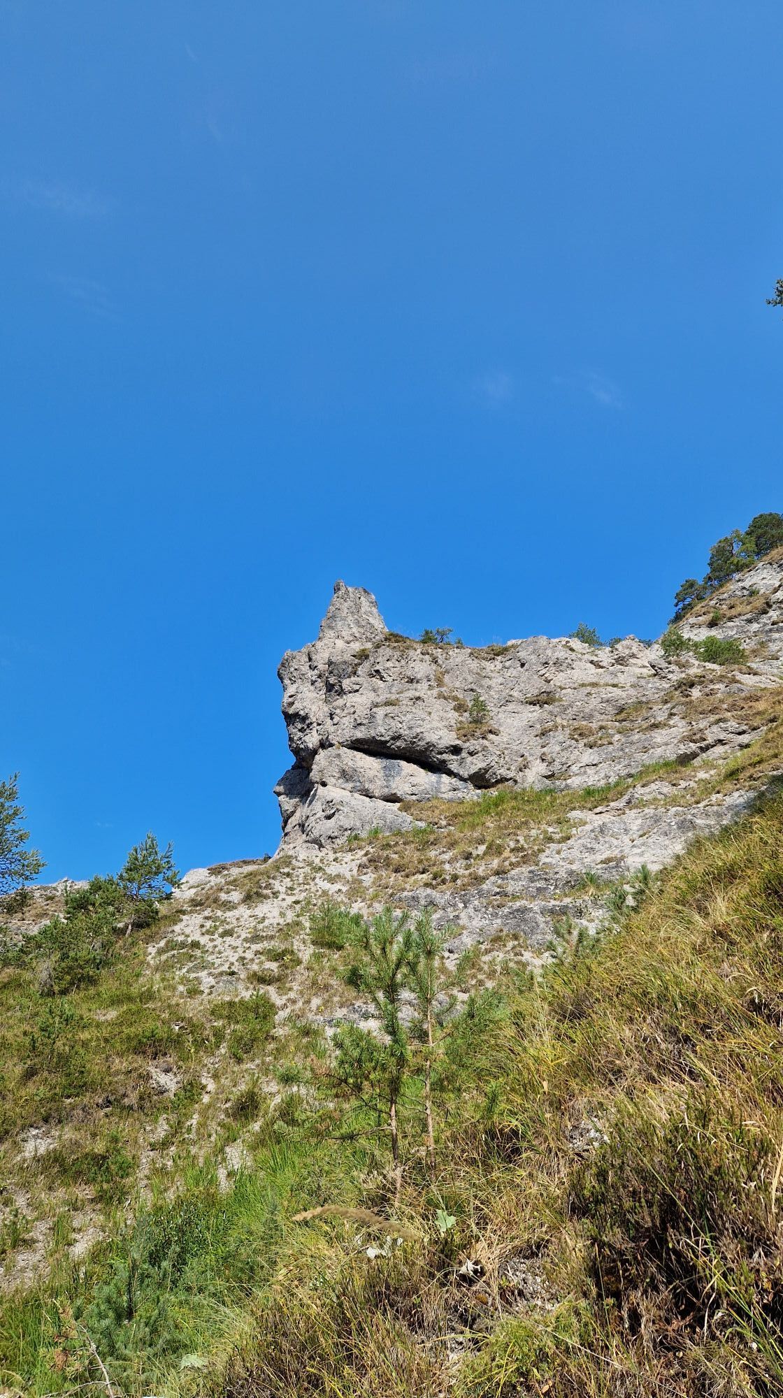
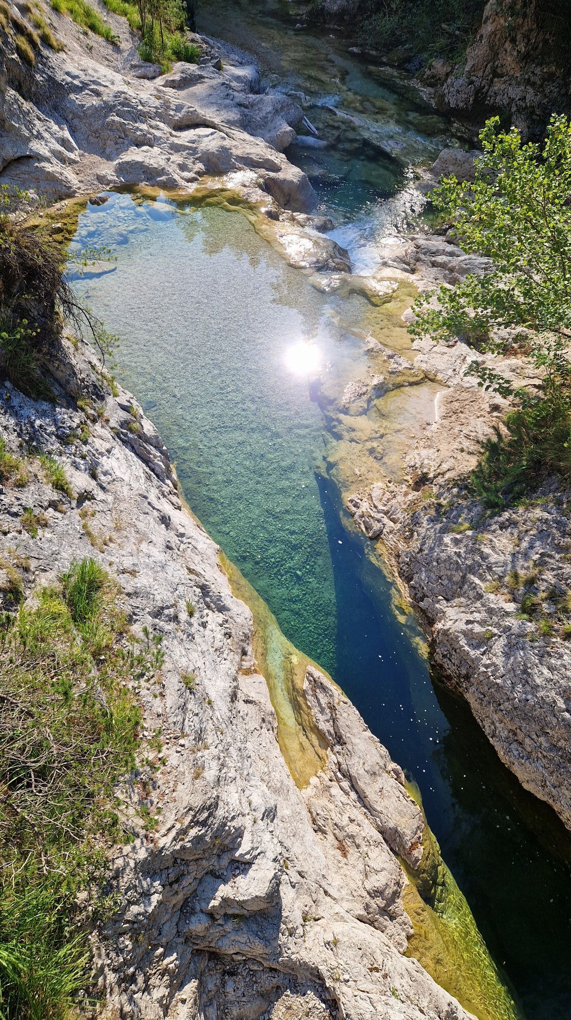
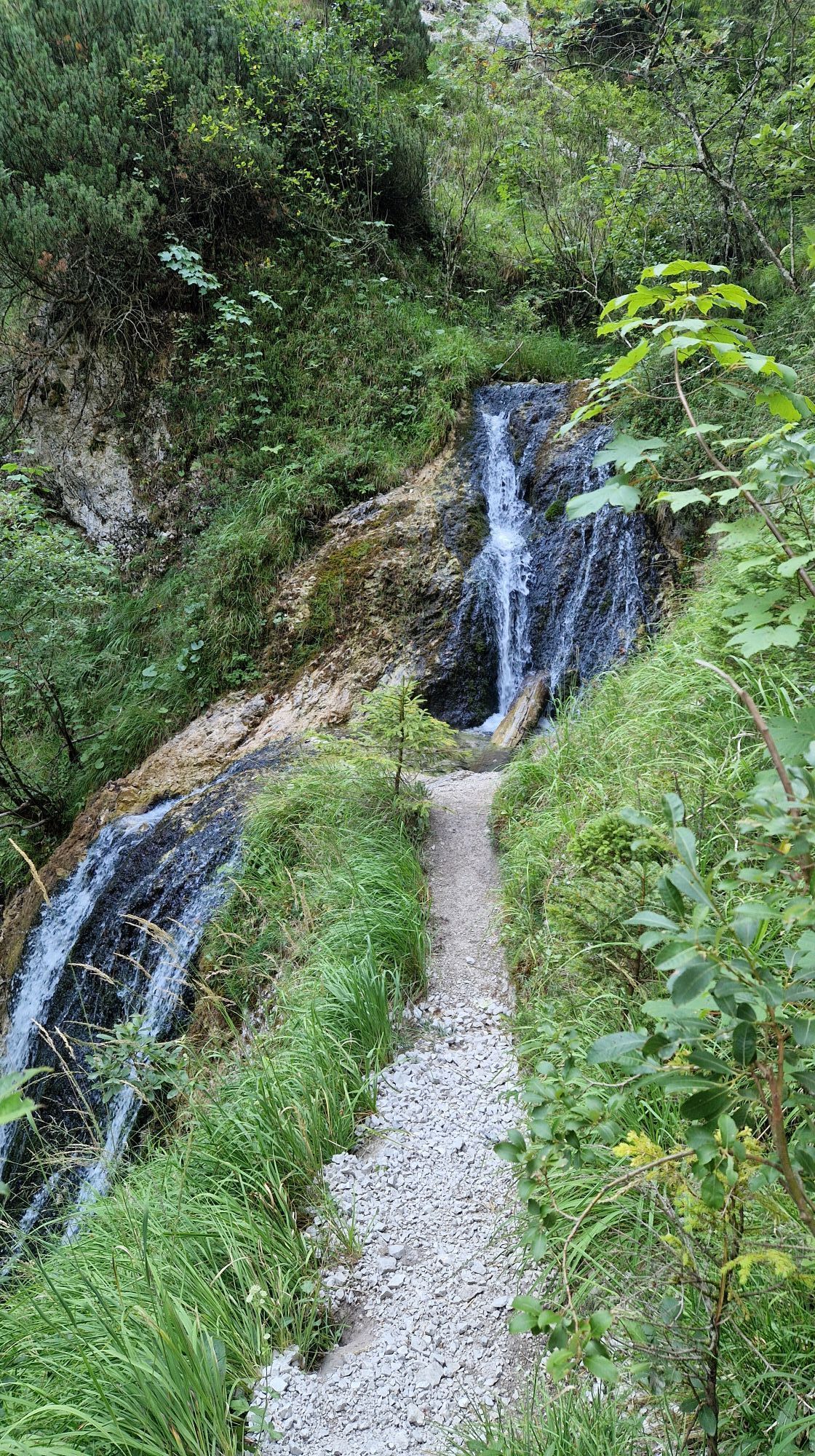
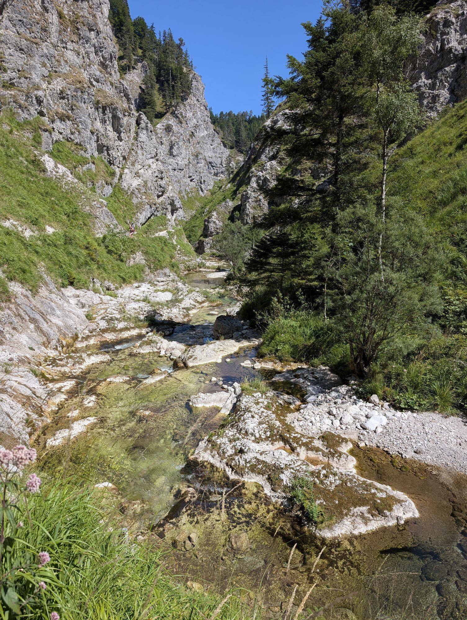
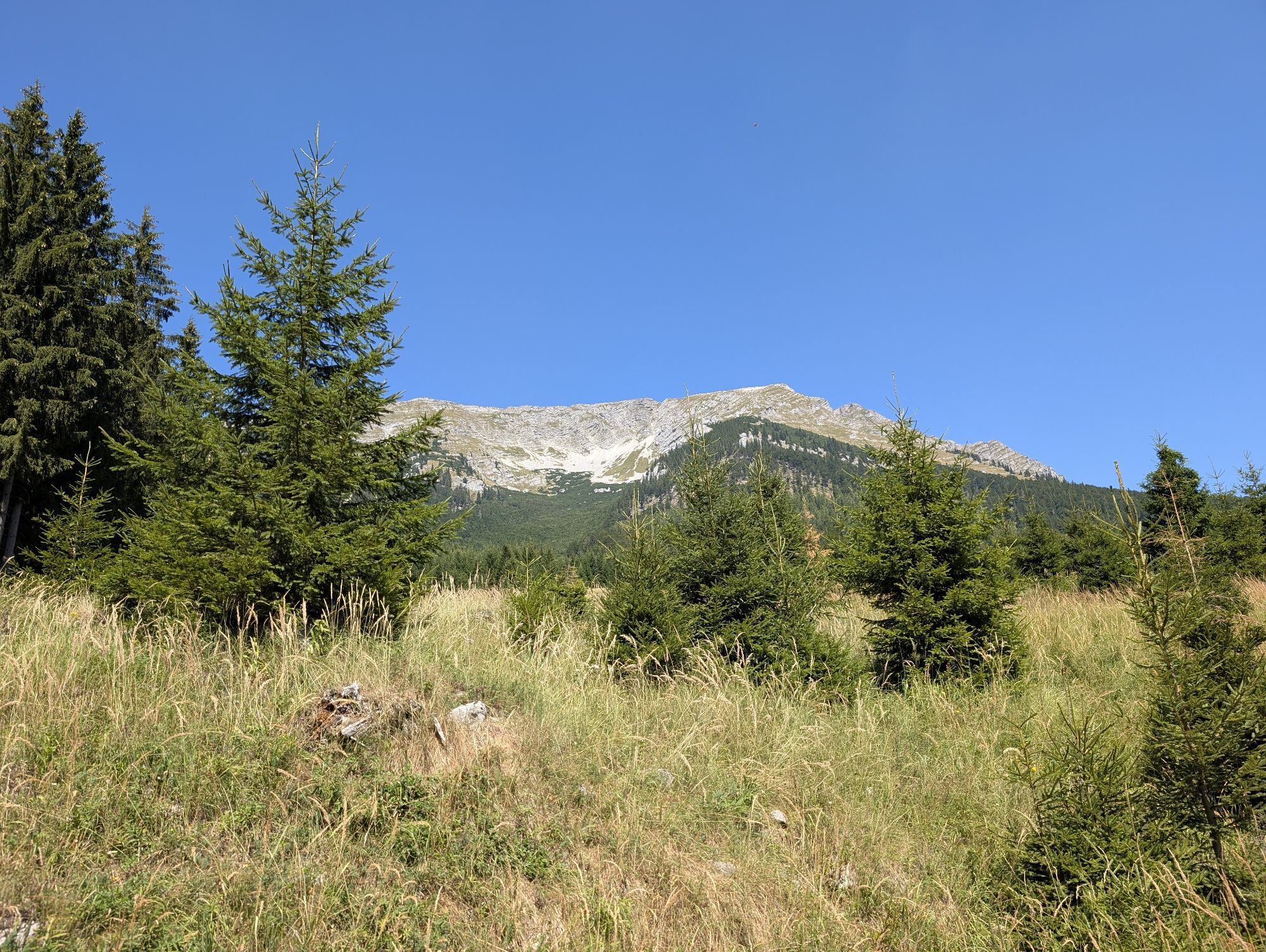
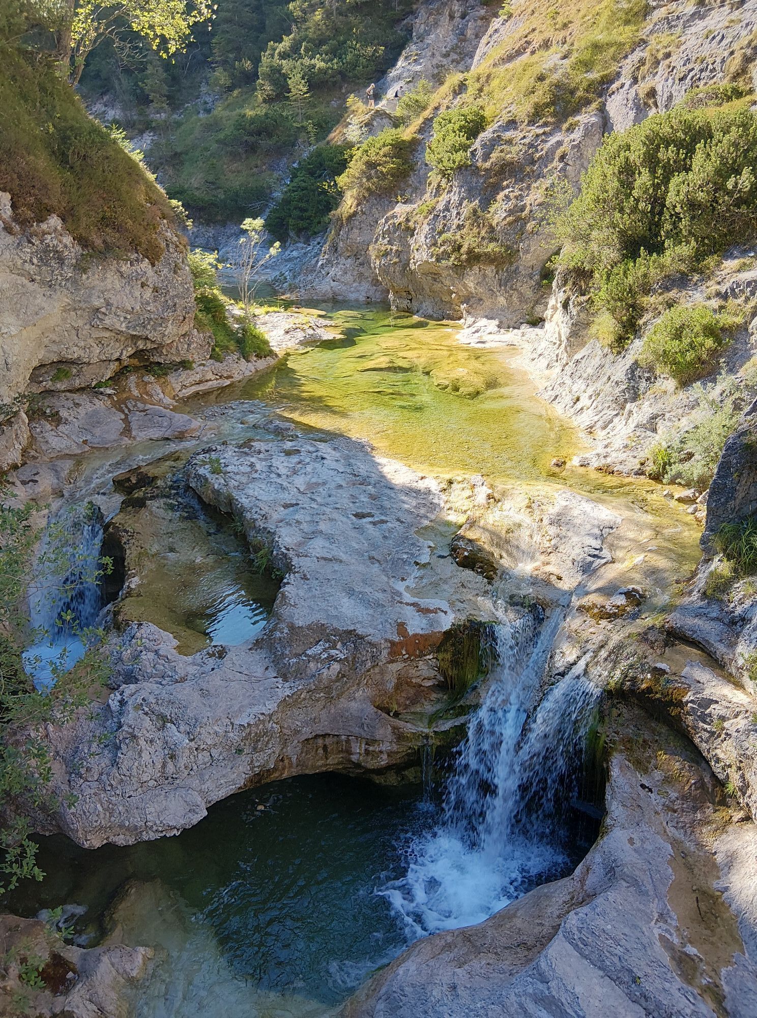
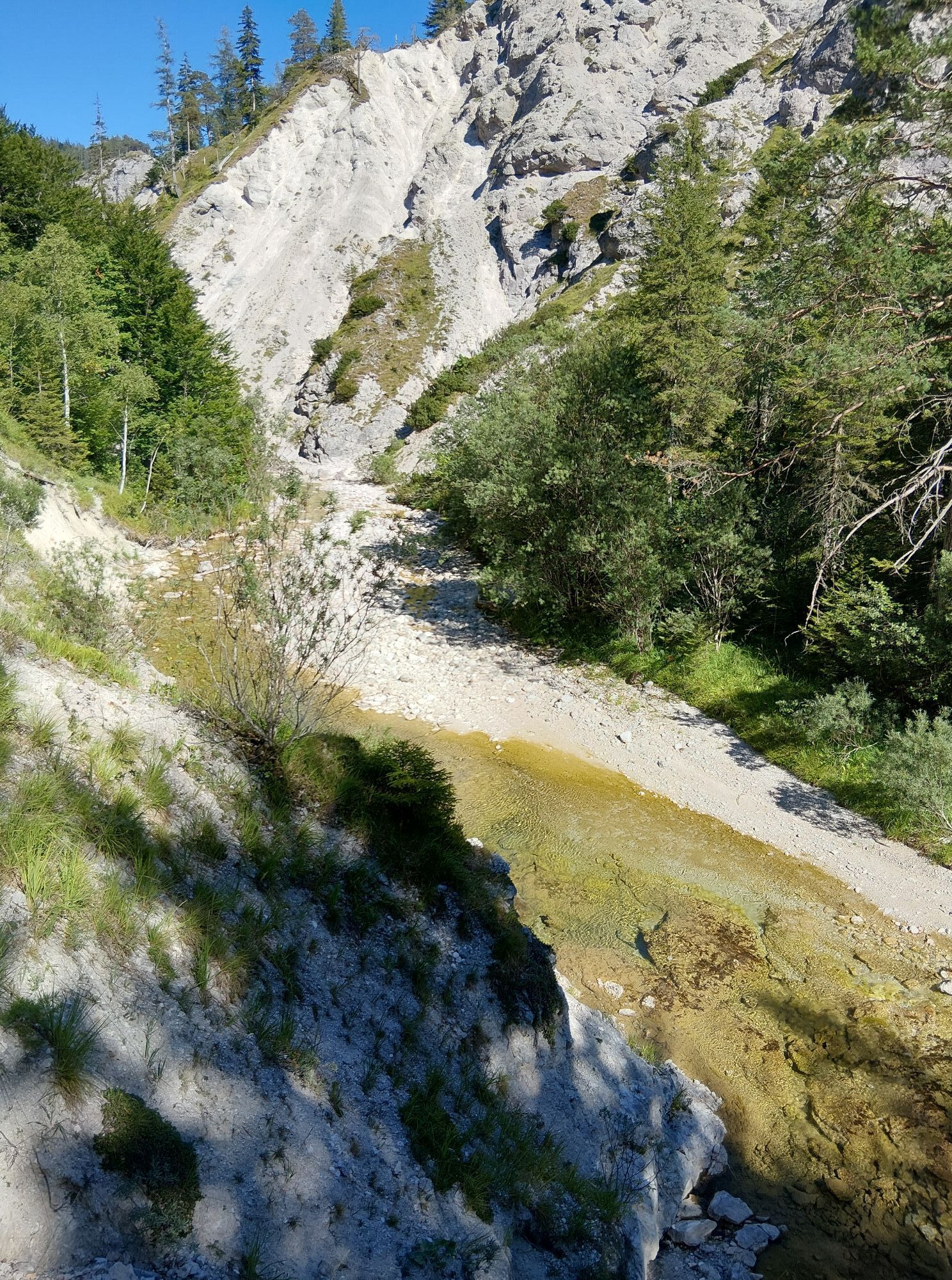
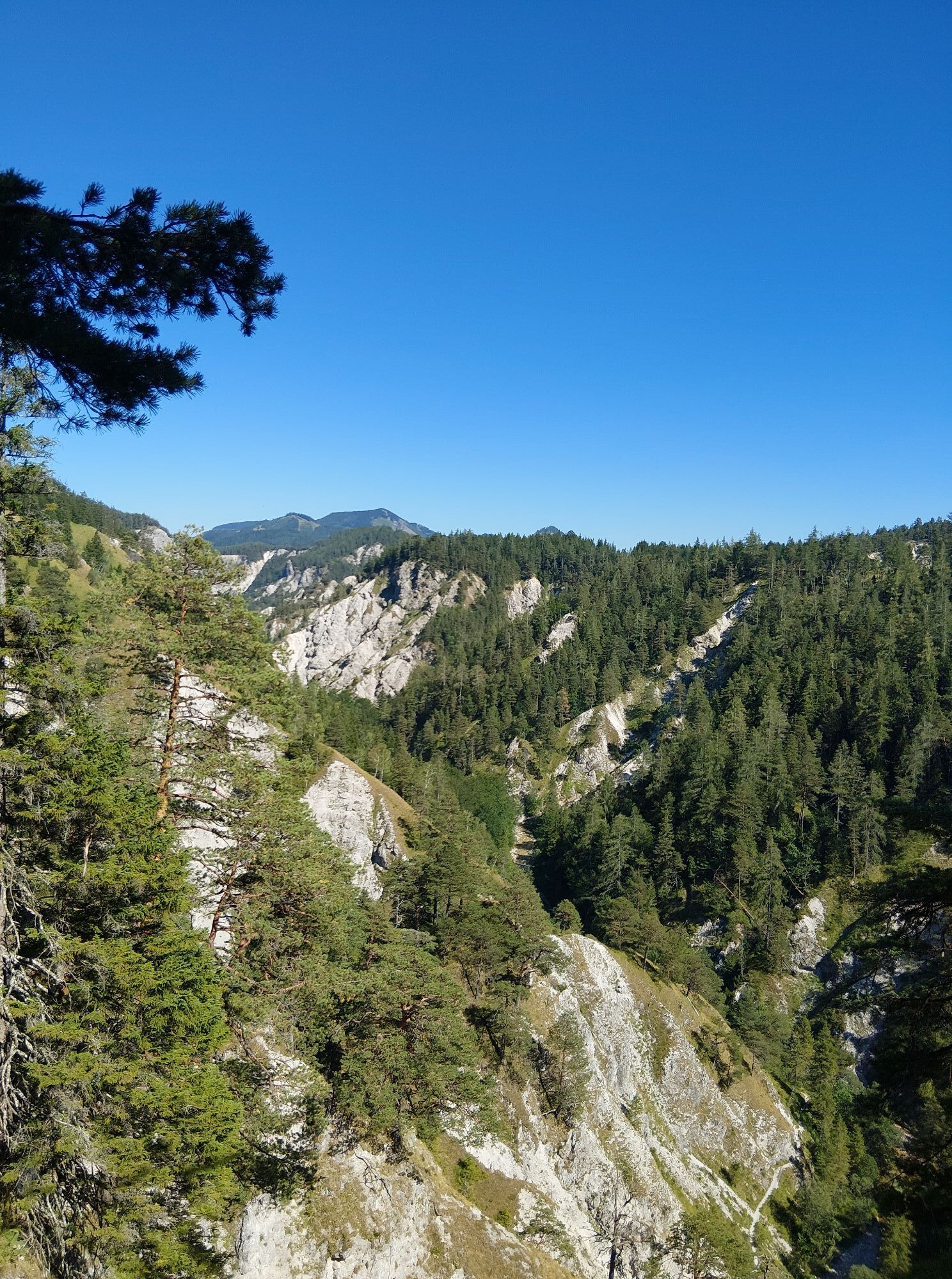
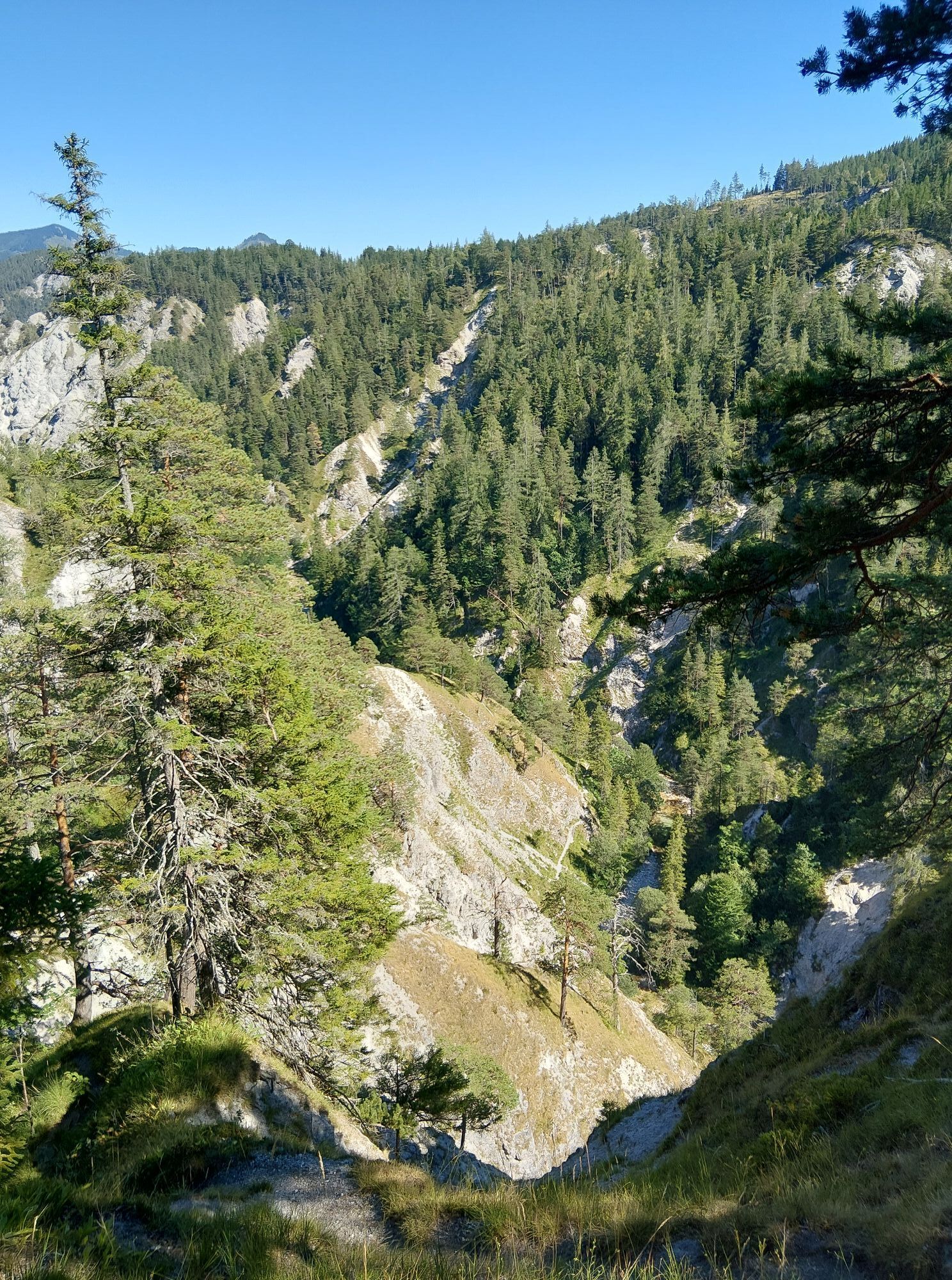
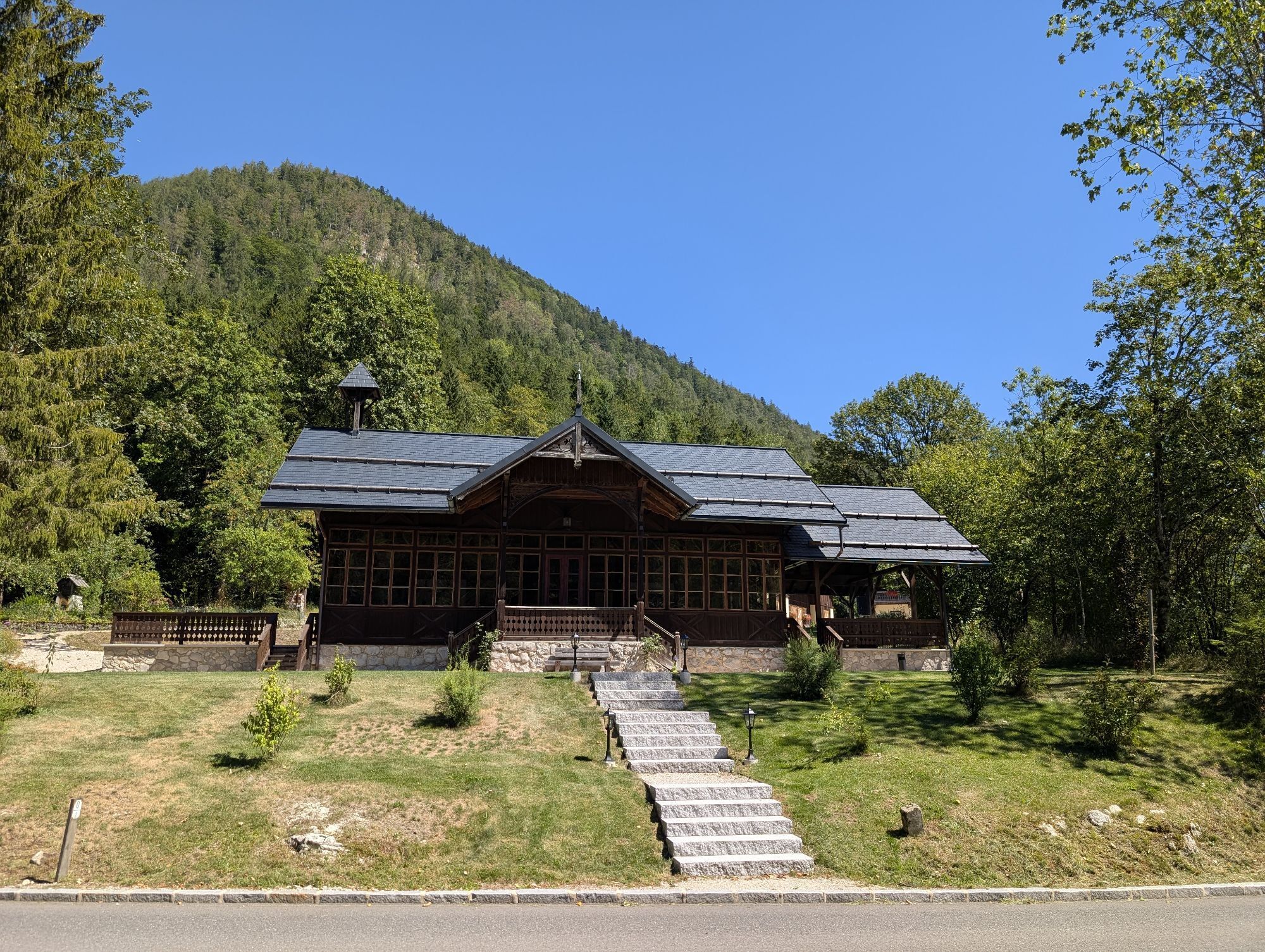
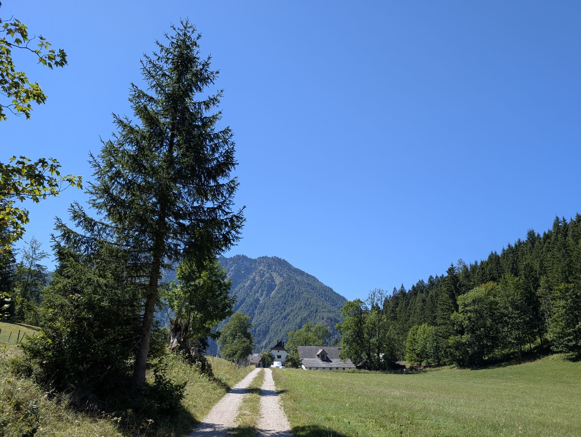
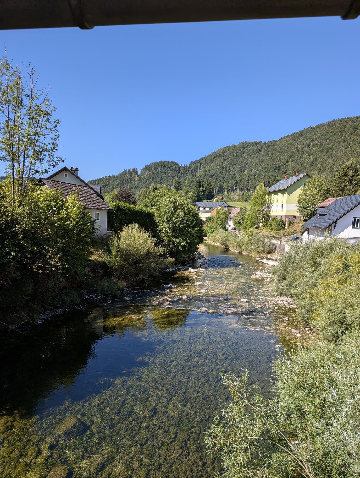
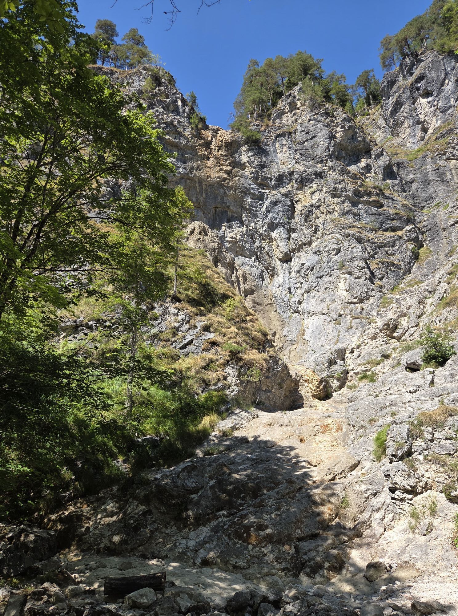
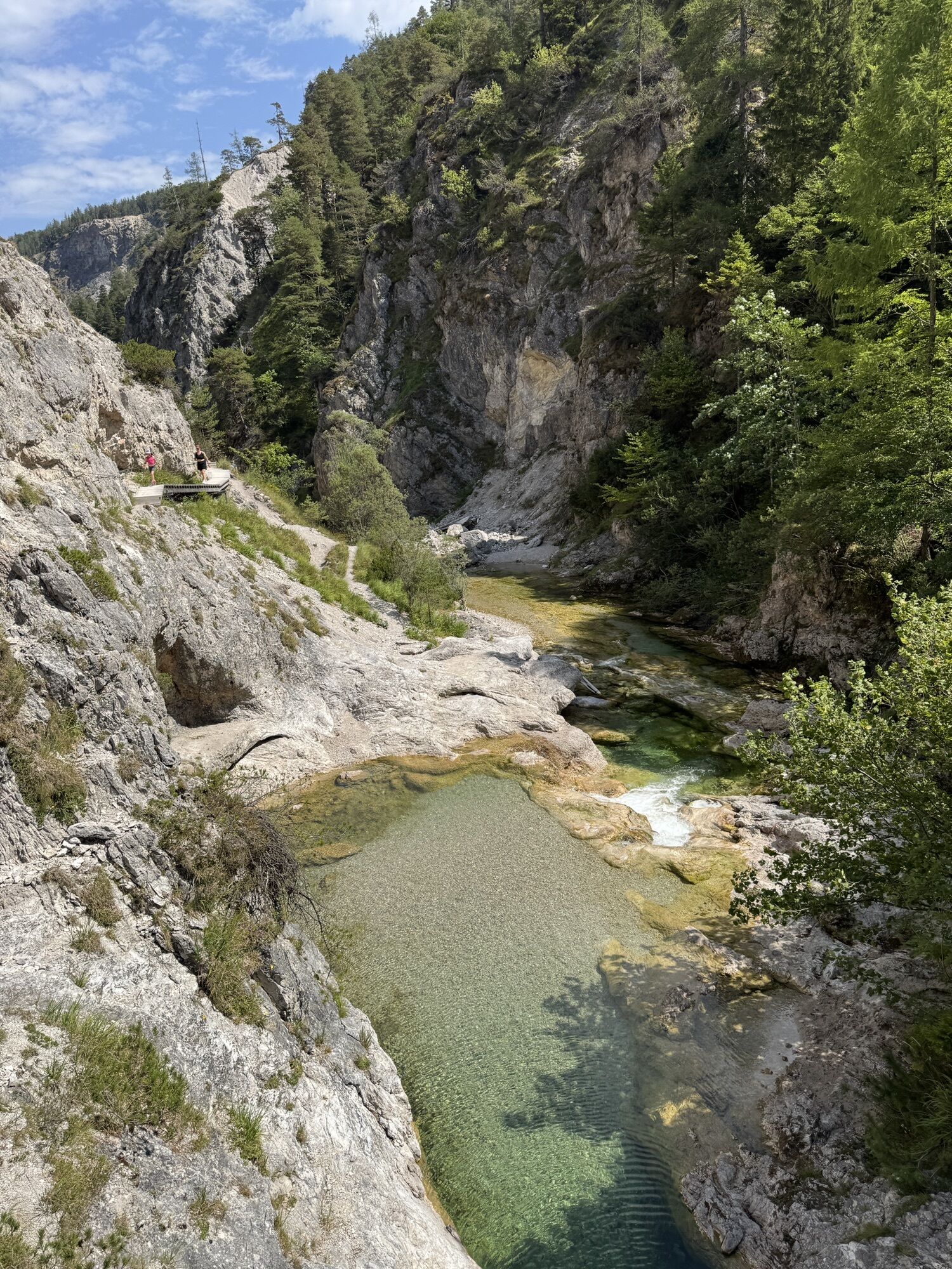
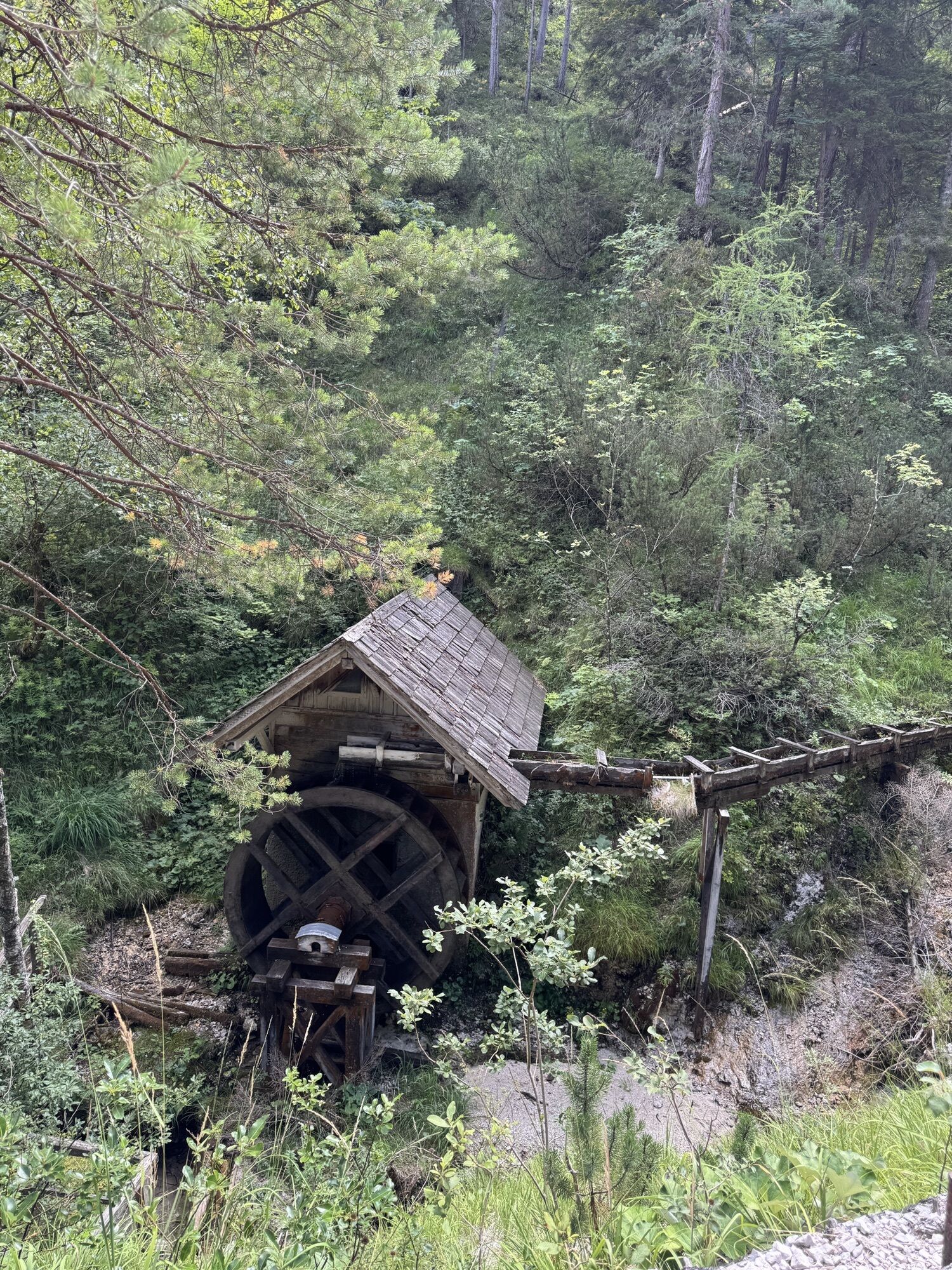
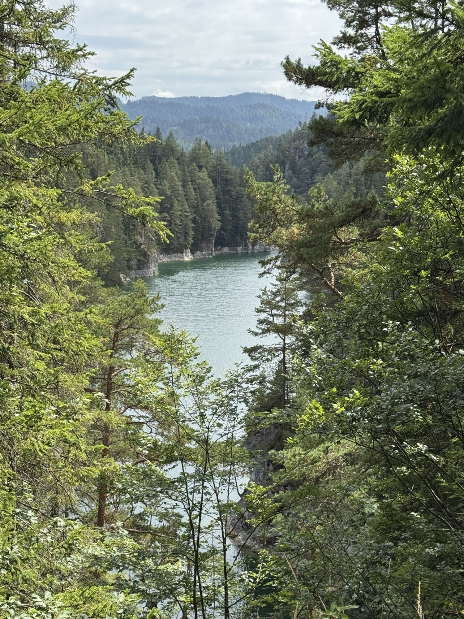
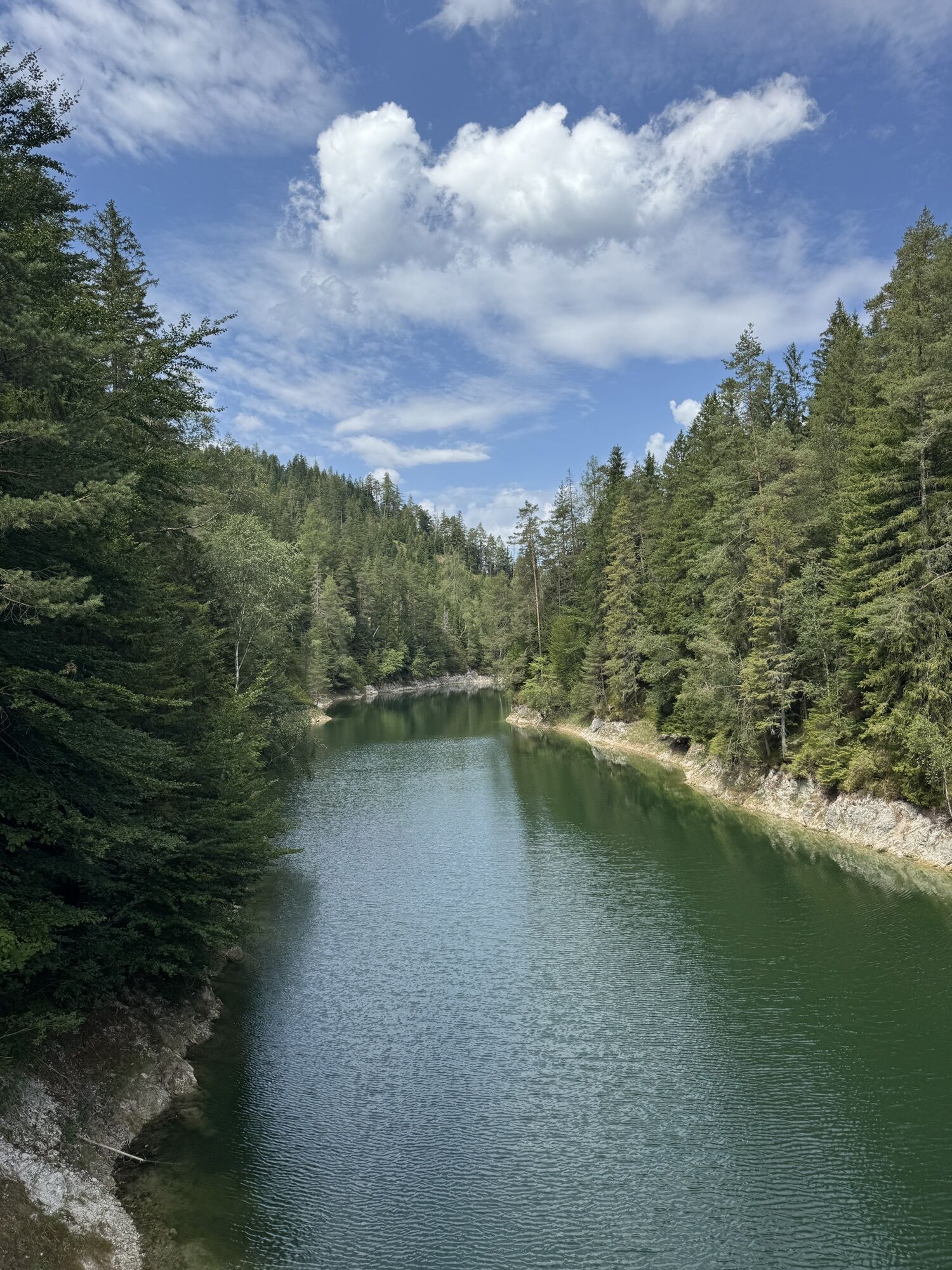
The pilgrimage route for sporty pilgrims takes us from Linz/Pöstlingberg to Mariazell in just seven daily stages. We reach Mariazell via St. Florian, Steyr, Maria Neustift, Ybbsitz, Lackenhof and Mitterbach.
If...
The pilgrimage route for sporty pilgrims takes us from Linz/Pöstlingberg to Mariazell in just seven daily stages. We reach Mariazell via St. Florian, Steyr, Maria Neustift, Ybbsitz, Lackenhof and Mitterbach.
If you want to make a pilgrimage from Pöstlingberg to the "Magna Mater Austriae" in Mariazell, you should prepare well and plan the tour precisely. After all, there are over 170 kilometers to cover and some of the terrain is very alpine. The highest point is the Ötscher, whose summit does not have to be climbed directly, but the Riffelsattel at an altitude of 1,283 meters is also a physical challenge.

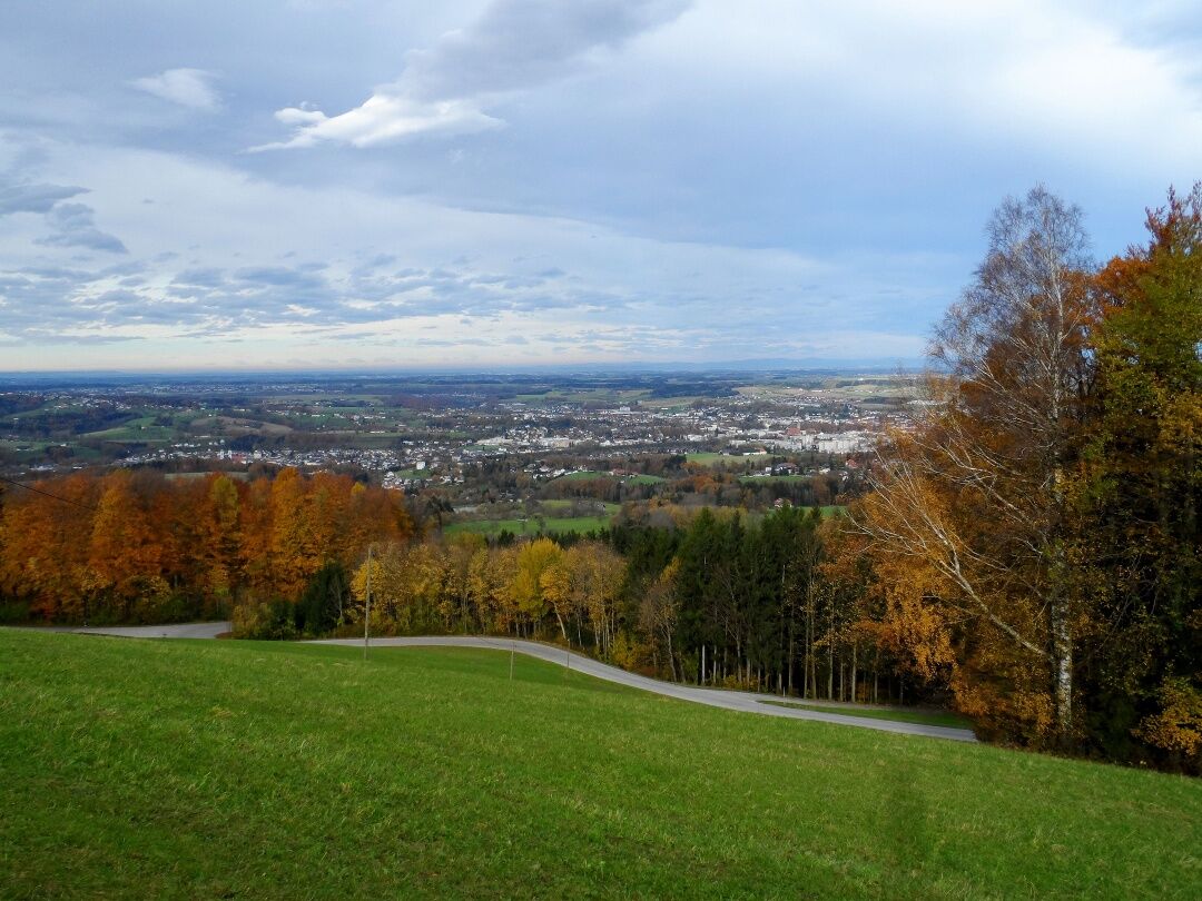
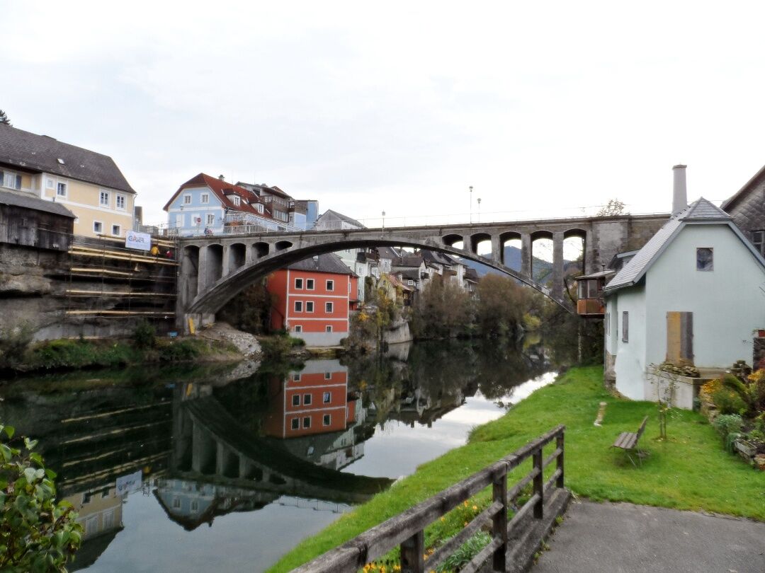
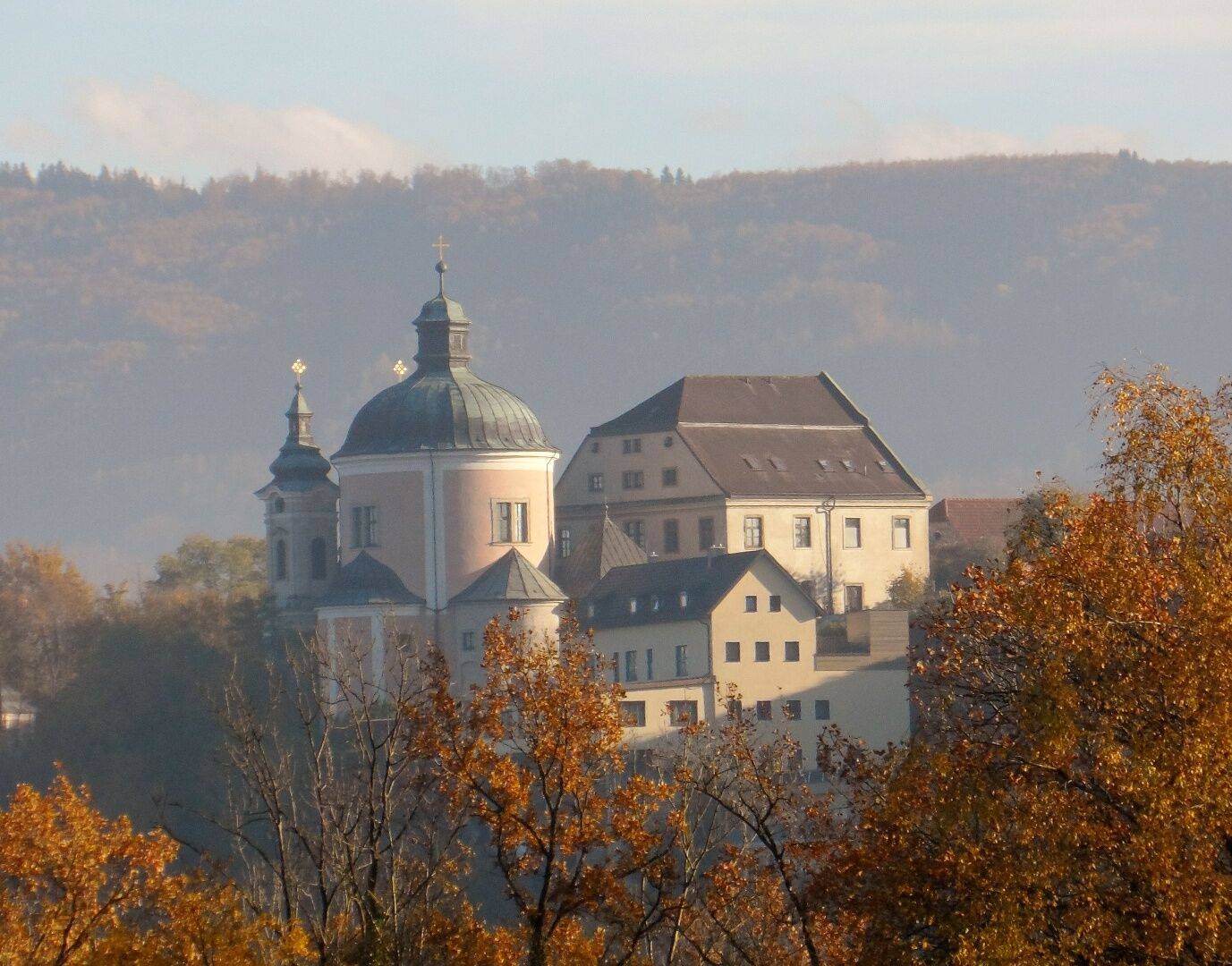
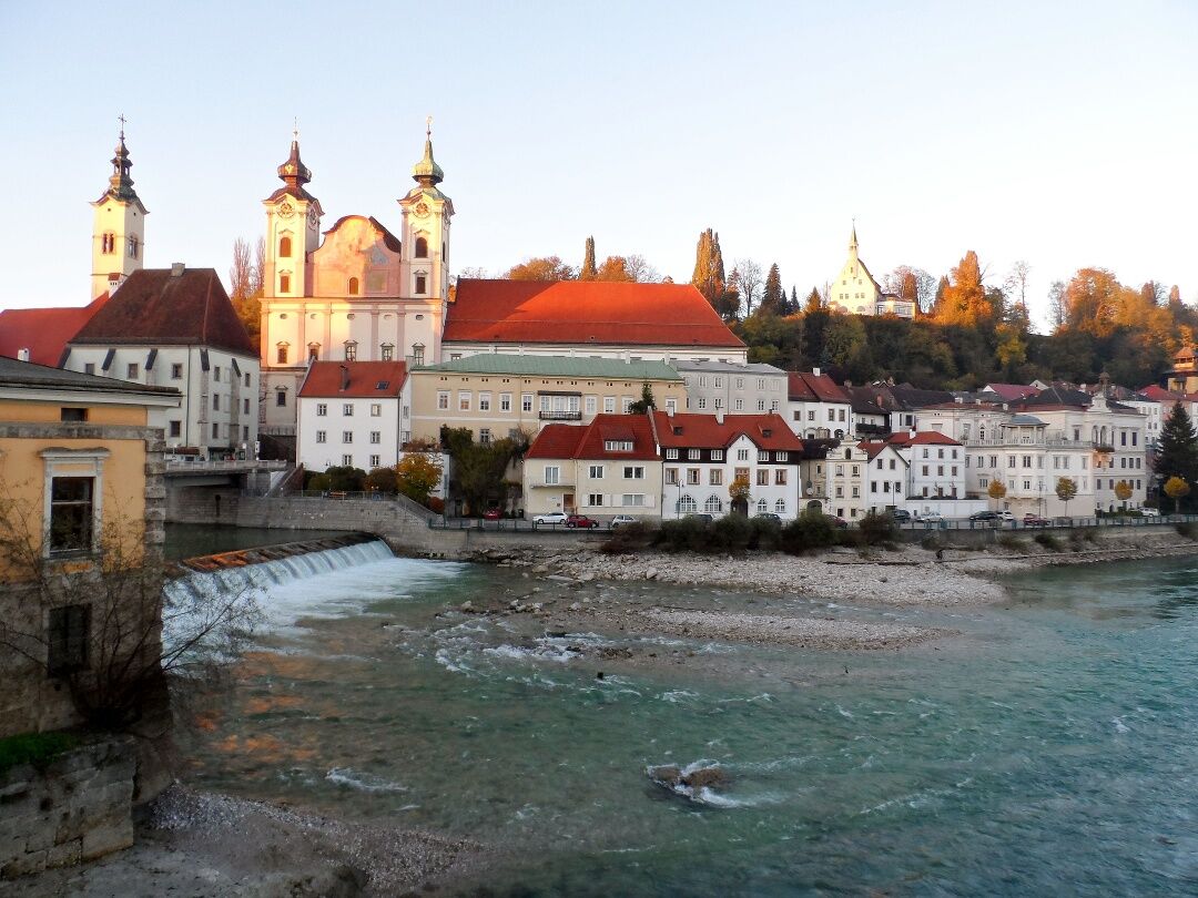
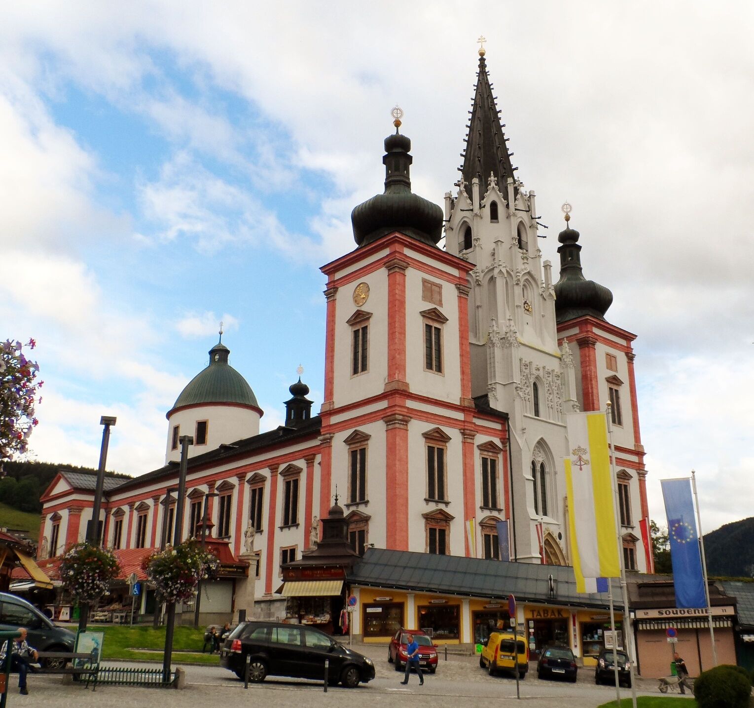
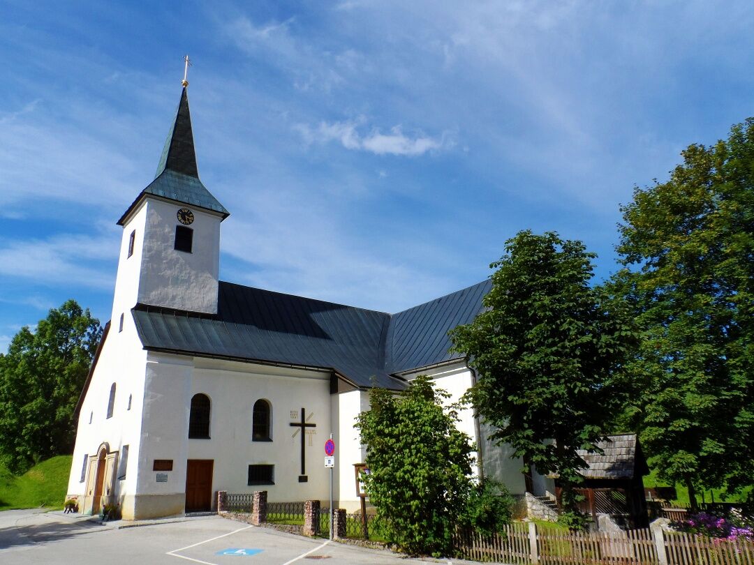
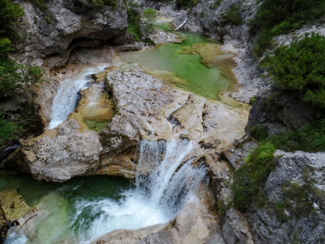
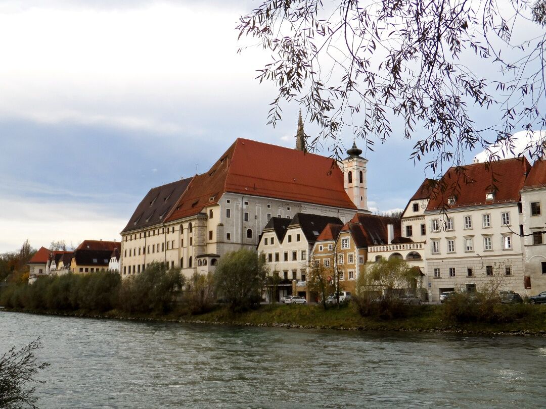
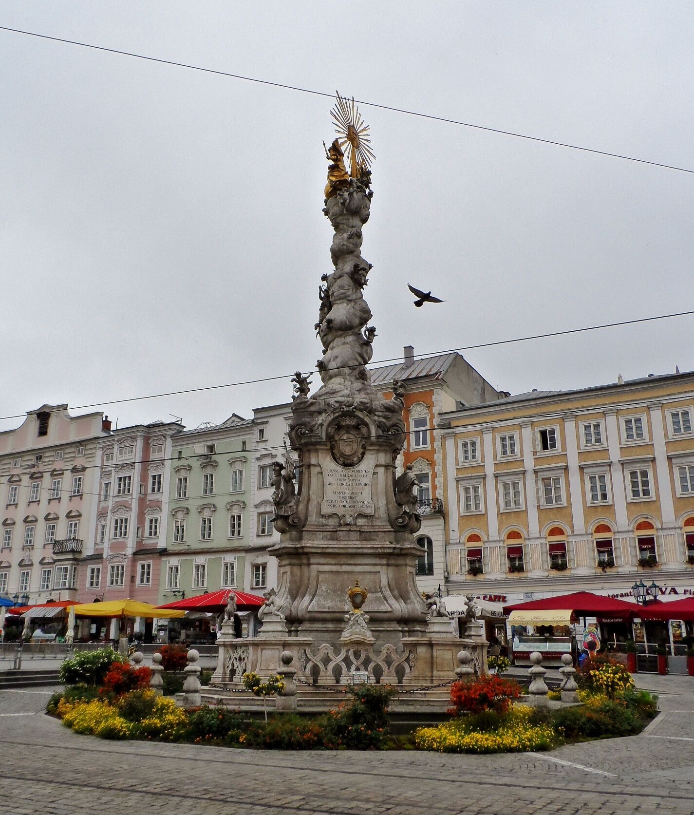
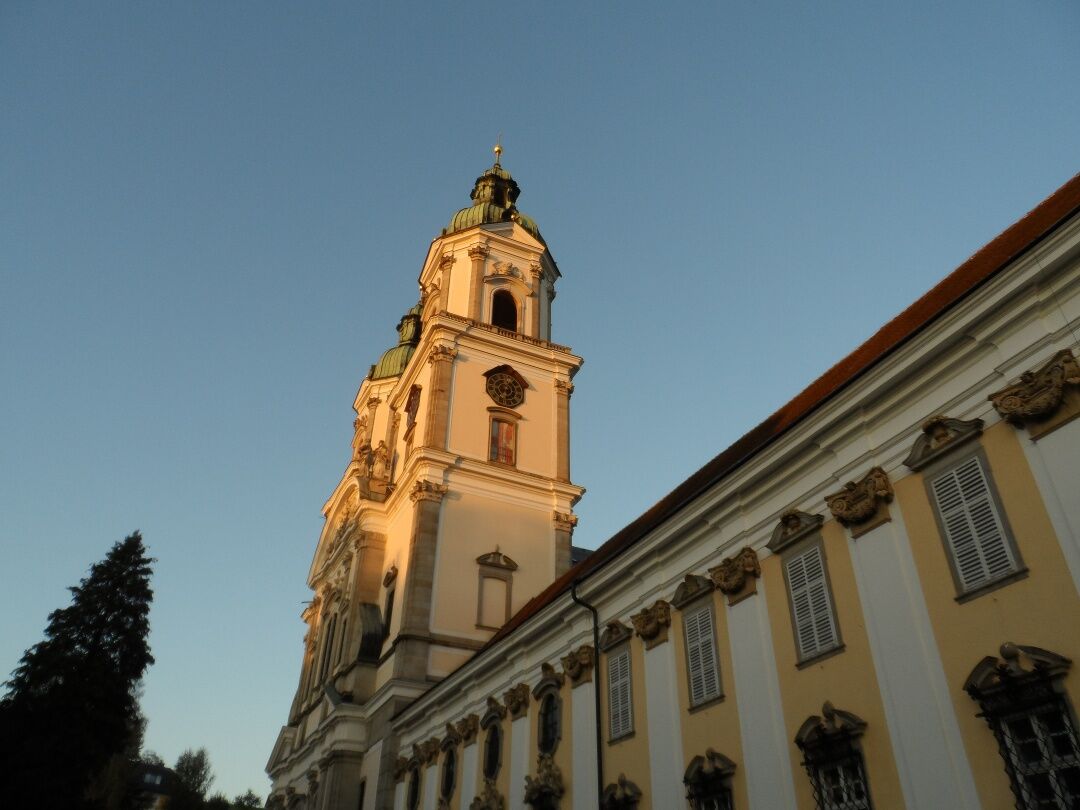

Stage 1: Linz/Pöstlingberg - St. Florian (18.2 km)
Stage 2: St. Florian - Steyr (30 km)
Stage 3: Steyr - Maria Neustift (27.8 km)
Stage 4: Maria Neustift - Ybbsitz (26.1 km)
Stage 5: Ybbsitz - Lackenhof (31.9 km)
Stage 6: Lackenhof - Mitterbach (18 km)
Stage 7: Mitterbach - Mariazell (6.5 km)
The backpack on a pilgrimage should really only contain the absolute essentials! GPS devices or mobile phones with internet access provide good assistance with orientation.
In April and May, lingering snow patches must still be expected. Walking through the alpine landscapes requires some familiarity with nature and potential dangers, especially regarding weather and orientation. In case of thunderstorms, it is necessary to remember in time to find shelter and protection. The maps and guides suggested in the appendix should definitely be used. A mobile phone (with a charger for recharging at the accommodations) should also definitely be taken on the pilgrimage. Based on the lengths and elevation profiles, the pilgrimage routes can be individually assembled. It is important to consider in advance how many kilometers can be managed per day, and the stages must be planned ahead. Please also make sure to clarify accommodation availability by phone beforehand! Local tourist offices can also be used here (take opening hours into account!).
This pilgrimage has been organized into seven stages. The final stage was kept shorter so that the mass in Mariazell can be attended in the morning.
Arrival from Salzburg and Vienna: West Motorway A1, exit Linz/Center
Arrival from Prague, Freistadt: Mühlkreis Motorway A7, exit Linz/Hafenstraße
Arrival from Regensburg, Passau: Innkreis Motorway A8 to A1, exit Linz/Center or toll-free along the Danube on the B 127.
You can reach Linz by train or bus, then from the main square take the Pöstlingbergbahn to the Pöstlingberg.
You can park your car below the Pöstlingberg Church or, if you want to arrive by the Pöstlingbergbahn, near the main square.
Mostviertel Tourismus GmbH
Töpper Schloss Neubruck, Neubruck 2/10, 3283 Scheibbs
T +43/7482/20 444
info@mostviertel.at , www.mostviertel.at
TVB Mariazeller Land
Main Square 13, 8630 Mariazell
Tel.: +43 (0)3882/23 66
Upper Austria Tourism Information
Freistädter Straße 119, 4041 Linz
info@oberoesterreich.at
www.wandern.at
Useful Maps:
ÖK 4319 Linz, ÖK 4320 Perg, ÖK 4326 Steyr,
ÖK 4202 Ternberg, ÖK 4203 Waidhofen,
ÖK 4203 Ybbsitz, ÖK 4204 Lunz, ÖK 4210 Mariazell
All at a scale of 1:50,000 (also available as enlargement 1:25,000)
F&B hiking maps 261 (1:50,000), 051 (1:50,000),
052 (1:50,000), 5031 (1:35,000)
Kompass 22 (Mariazell, Ötscher, Erlauftal, 1:25,000),
Kompass 212 (Hochschwab, Mariazell, Eisenwurzen, 1:50,000),
Kompass 202 (Around Linz, Mühlviertel, Wels, Steyr, 1:50,000)
Important Phone Numbers:
Alpine emergency call: 140, International emergency call: 112
Recommended Literature:
Pilgrimage Routes to Mariazell – West + South Volume, www.styriabooks.at
Hiking Experience Mariazell Land and Ötscher, www.kral-verlag.at
Pilgrimage Routes, www.kral-verlag.at
Kamery internetowe z trasy
-
Mariazeller Bürgeralpe - Berggasthof
-
Zuckerwiese
-
Gemeindealpe Mittelstation
-
Eibenkogl Bergstation
-
Lunz am See - Maiszinken
-
Puchenau
-
Sternwarte
-
Mariazell
-
Gipfelbahn Bergstation
-
Gemeindealpe Mittelstation
-
Mittelstation Gemeindealpe
-
Gemeindealpe Talstation
-
Talstation Glasenberg
-
Terzerhaus
-
Flugplatz St. Sebastian
-
Linz/Pöstlingberg
-
Linz / Donau
-
Eibenkogl Bergstation
-
Rundfunkstation Sonntagberg
-
Sierning / Gründberg
-
Snowpark Gemeindealpe
-
Birkihang
-
Terzerhaus
-
Linz - Arcotel Nike Linz
-
Hüttenkogl
-
Hüttenkogl
-
Bürgeralpe - Kristallsee
-
Mariazeller Bürgeralpe - Berggasthof
-
Ertl
-
Mariazell
-
Mariazell
-
Feldbauer Mariazell
-
Terzerhaus
-
Mittelstation
-
Gemeindealpe Mittelstation
-
Gemeindealpe Mittelstation
-
Gemeindealpe Mittelstation
-
Gemeindealpe Mittelstation
-
Gemeindealpe Mittelstation
-
Gemeindealpe Mittelstation

Popularne wycieczki w okolicy
-
4,9
Ennser Hut - Almkogel (from Bamacher car park)
średniWędrówka 3,53 km -
4,8
Steinerner Jäger (1185m) und Schieferstein (1206m) ab Parkplatz Hochhabichler
średniWędrówka 4,46 km -
4,7
Steinerner Jäger (1185m) und Schieferstein (1206m) ab Parkplatz Hack
ciężkiWędrówka 8,58 km -
4,7
GROSSRAMING Bamacher, Burgspitz, Almkogel, Ennshütte 20240730
średniWędrówka 10 km -
4,4
Kleine Gipfelrunde Glasenberg
światłoWędrówka 4,99 km -
4,3
Freithofberg
średniWędrówka 9,15 km -
4,6
Lindaumauer, Maria Neustift
średniWędrówka 5,53 km -
3,9
Lindaumauer (1103 m)
Wędrówka 3,40 km -
4,7
Falkenstein (993m) und Rotmäuer (837m) ab Güterweg Kochlöffel
średniWędrówka 6,49 km -
4,4
Sebaldusweg stage 2 of 4 | Laussa - Maria Neustift
średniTrasa pielgrzymki 20,9 km
Wędrówki i tropienie


Nie przegap ofert i inspiracji na następne wakacje
Twój adres e-mail została dodana do listy mailingowej.





