


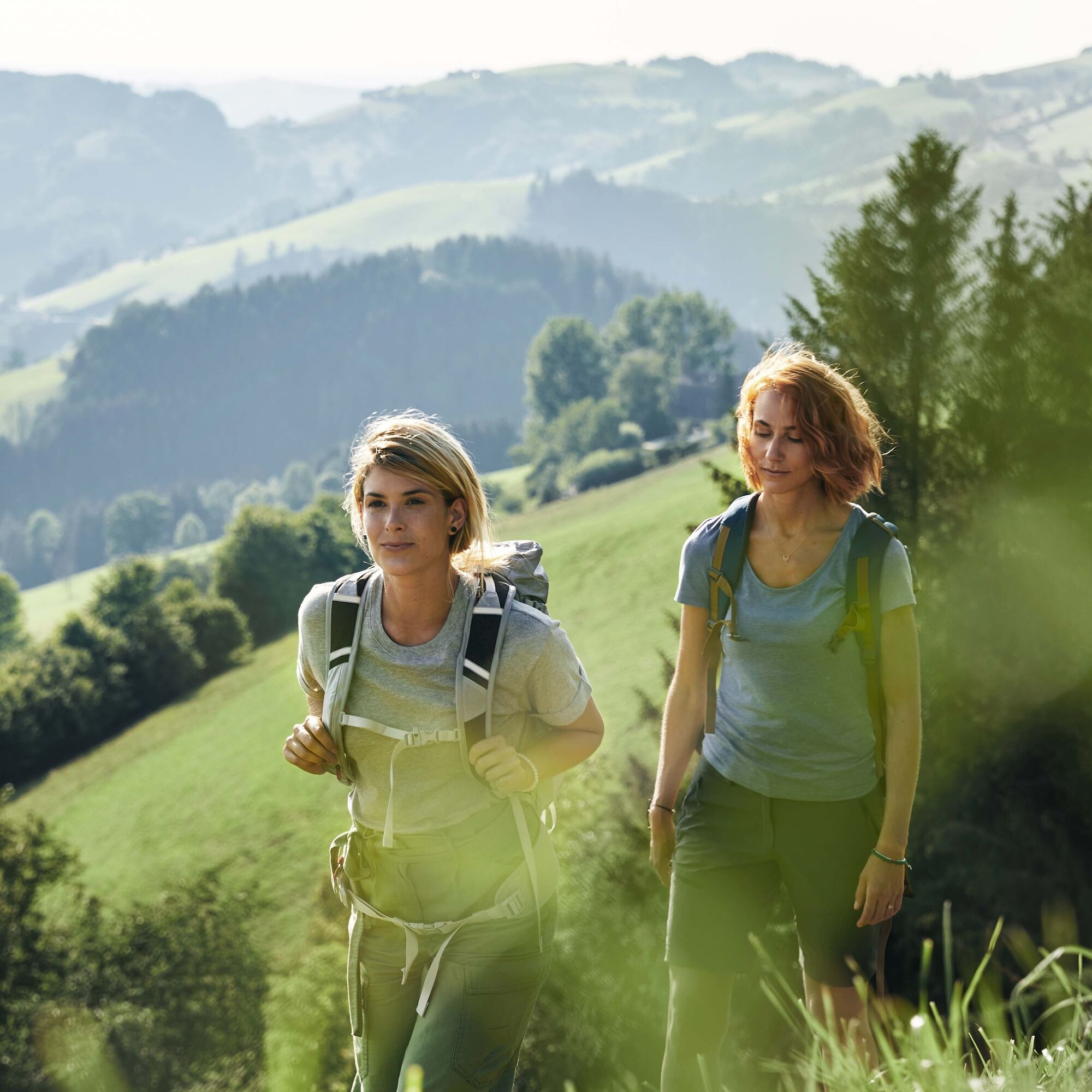
Sebaldusweg stage 2 of 3 | Losenstein - Maria Neustift


Discover along the way:
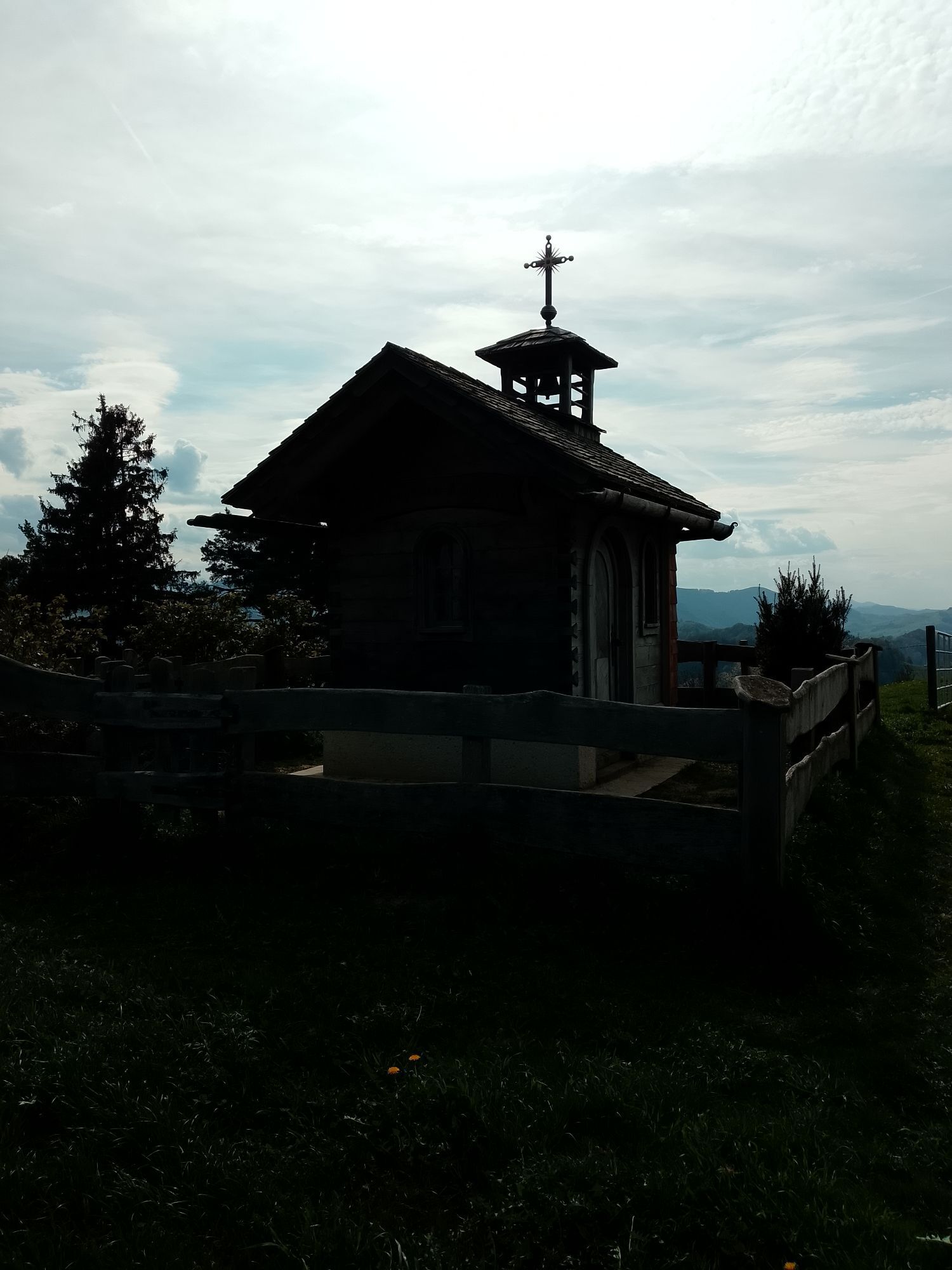
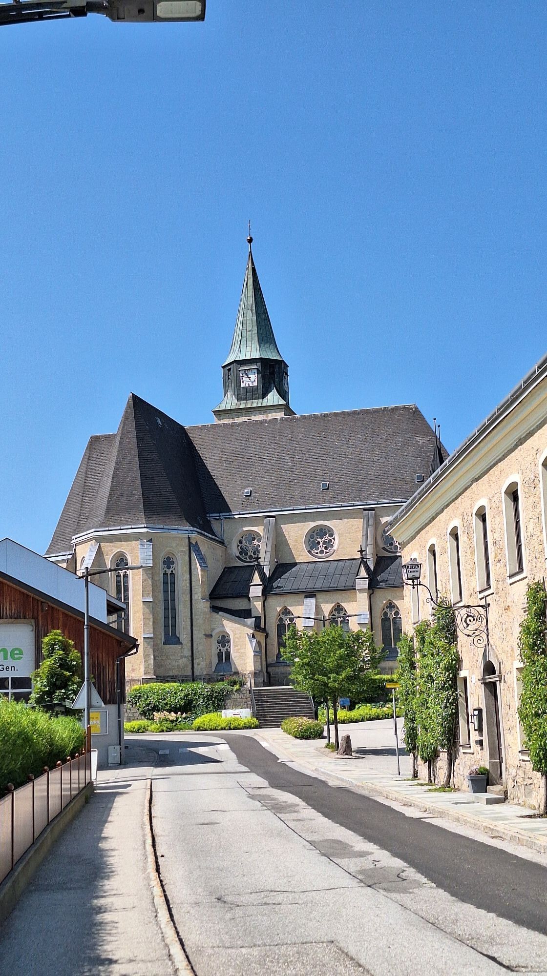
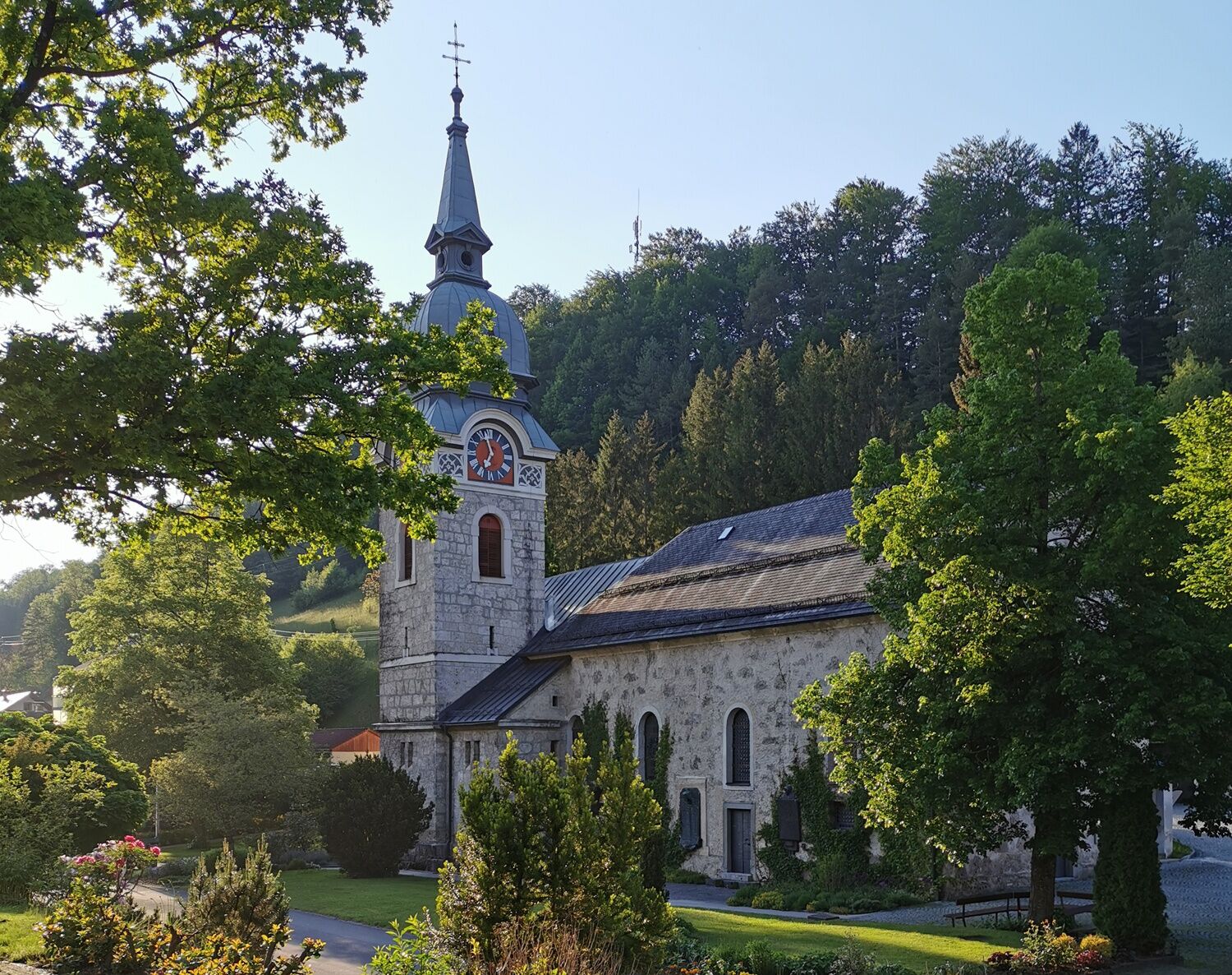
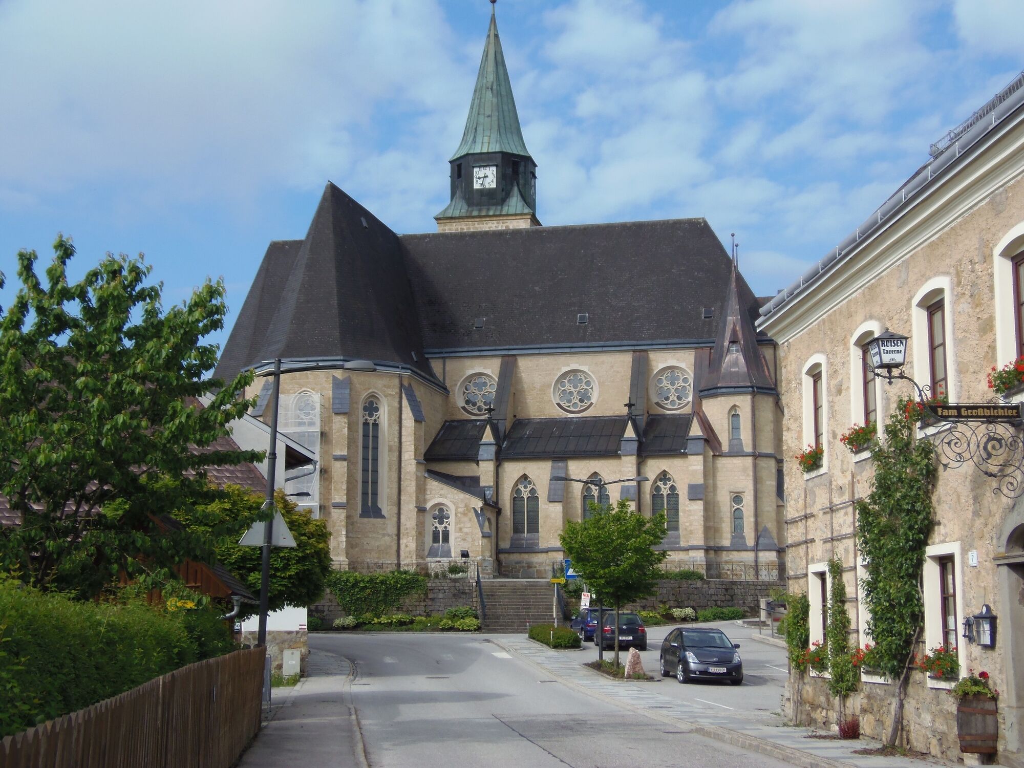
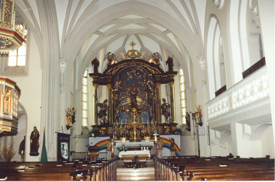
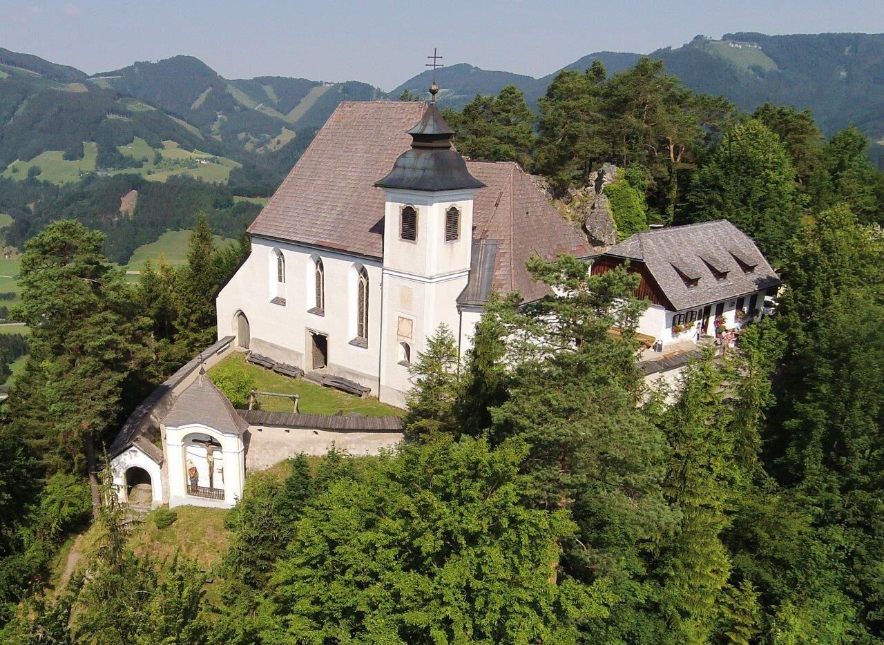
Parish church in Laussa (dedicated to Saint Mary), nature reserve Kalksteinmauer and outdoor pool in Laussa, several chapels, pilgrimage church Maria Neustift (Mary, healer of the...
Discover along the way:
Parish church in Laussa (dedicated to Saint Mary), nature reserve Kalksteinmauer and outdoor pool in Laussa, several chapels, pilgrimage church Maria Neustift (Mary, healer of the sick), healing path as well as marked chapel trails with wonderful panoramas in Maria Neustift, traditional wood-fired baked goods.
Off the path:
Laussa - nature reserve orchid meadow, sport climbing with over 180 routes on several rocks in and around the village center, including the famous "Sauzahn", THE climbing center in the Enns valley.
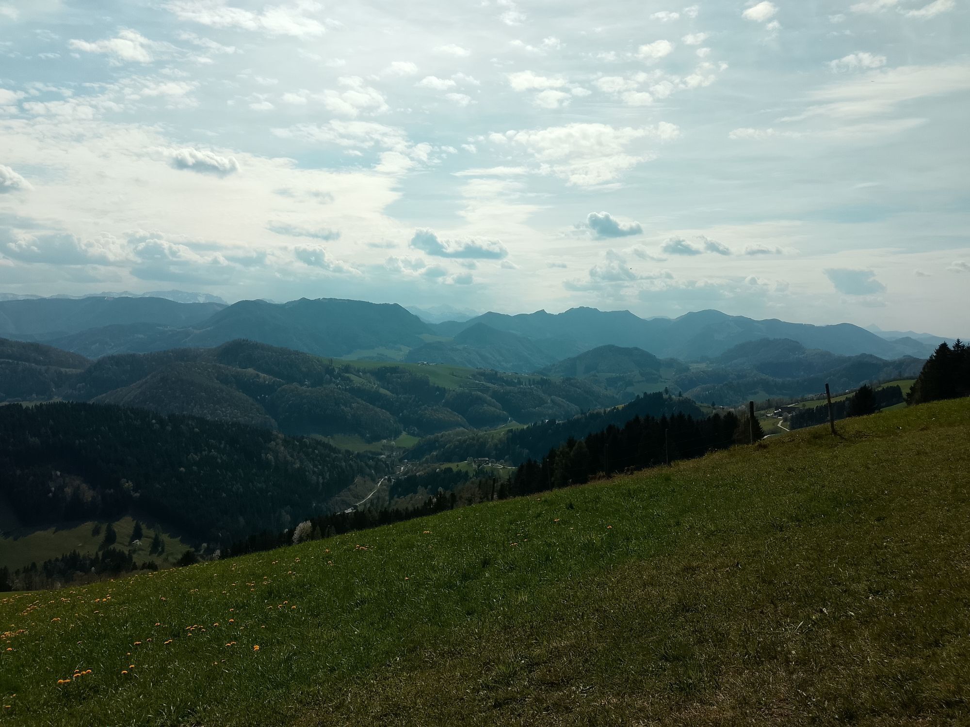
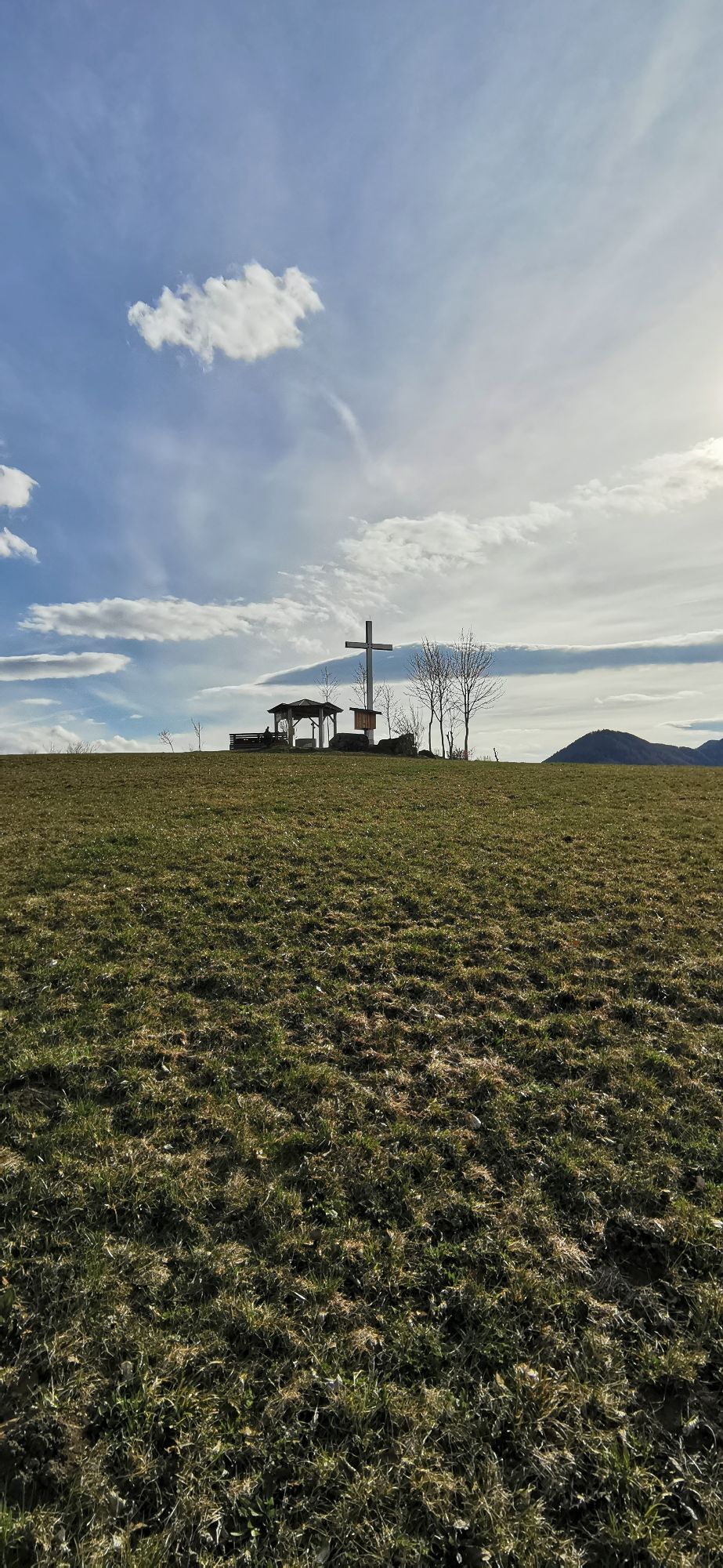
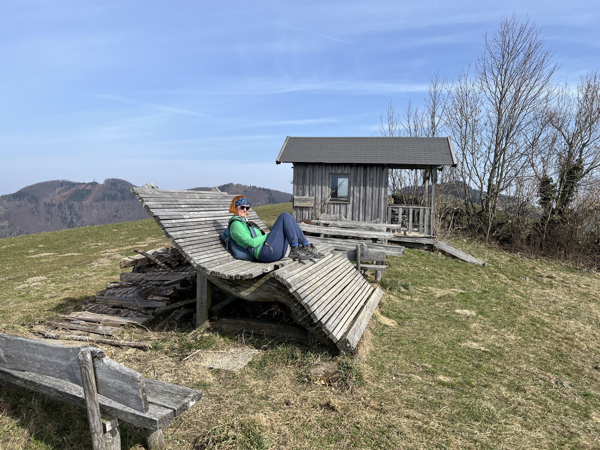
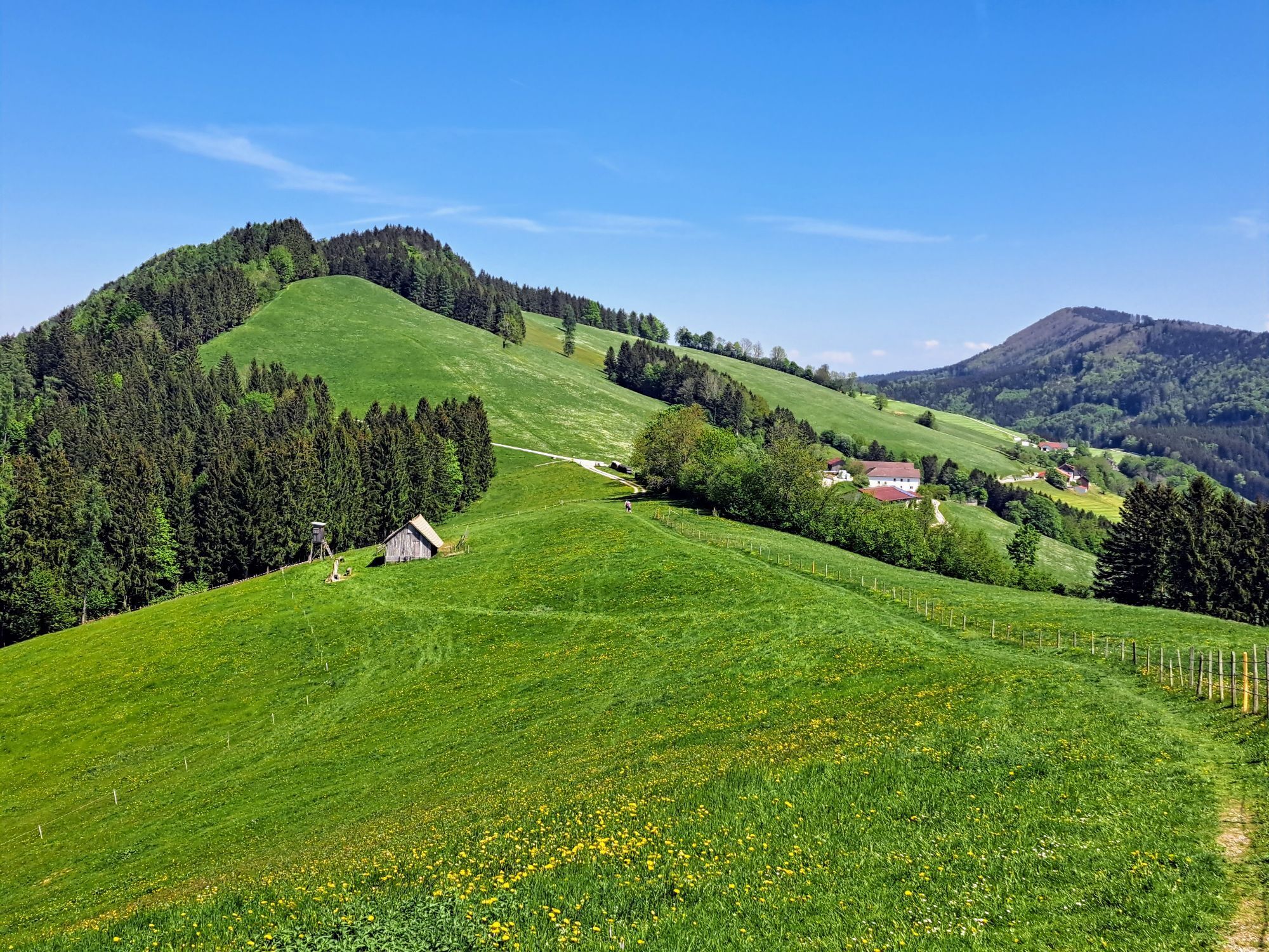
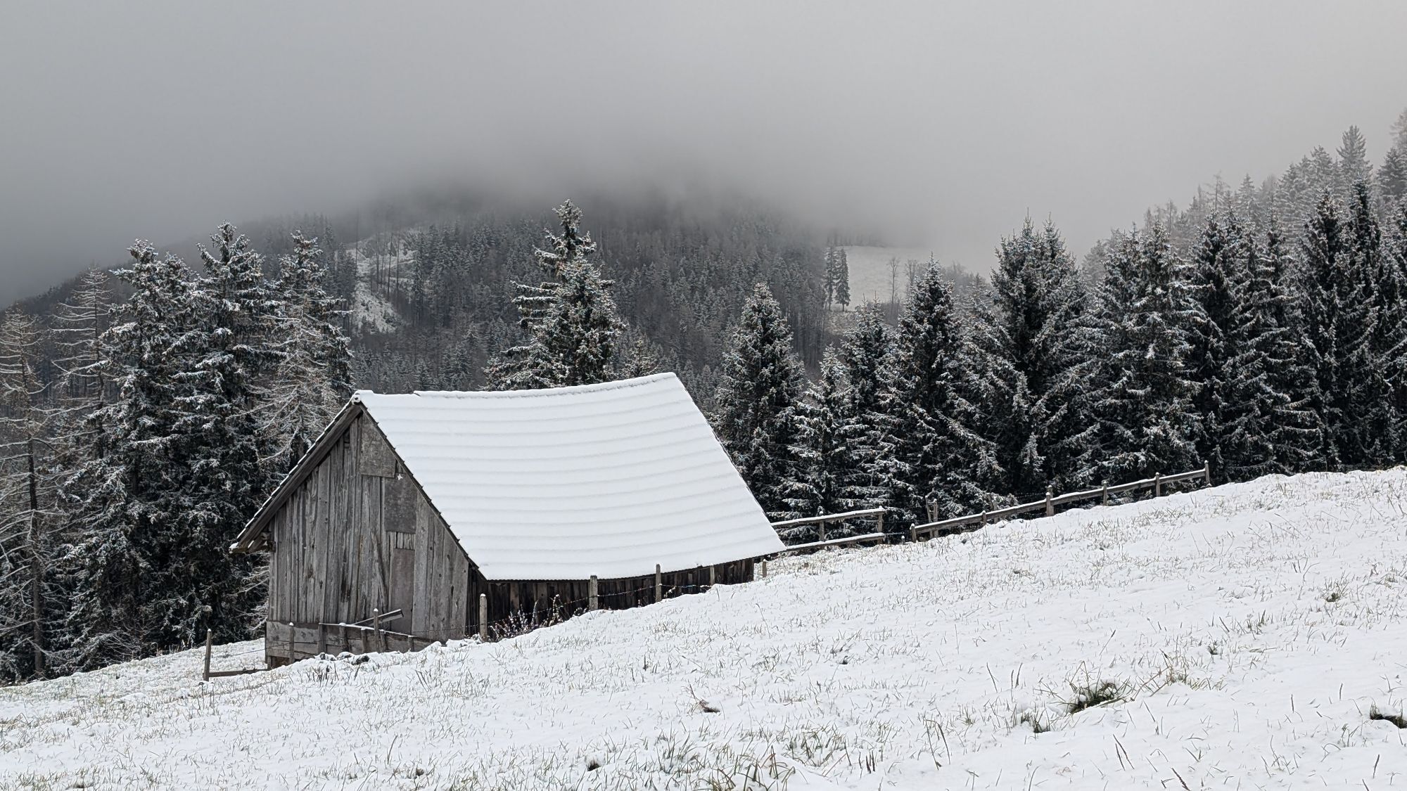
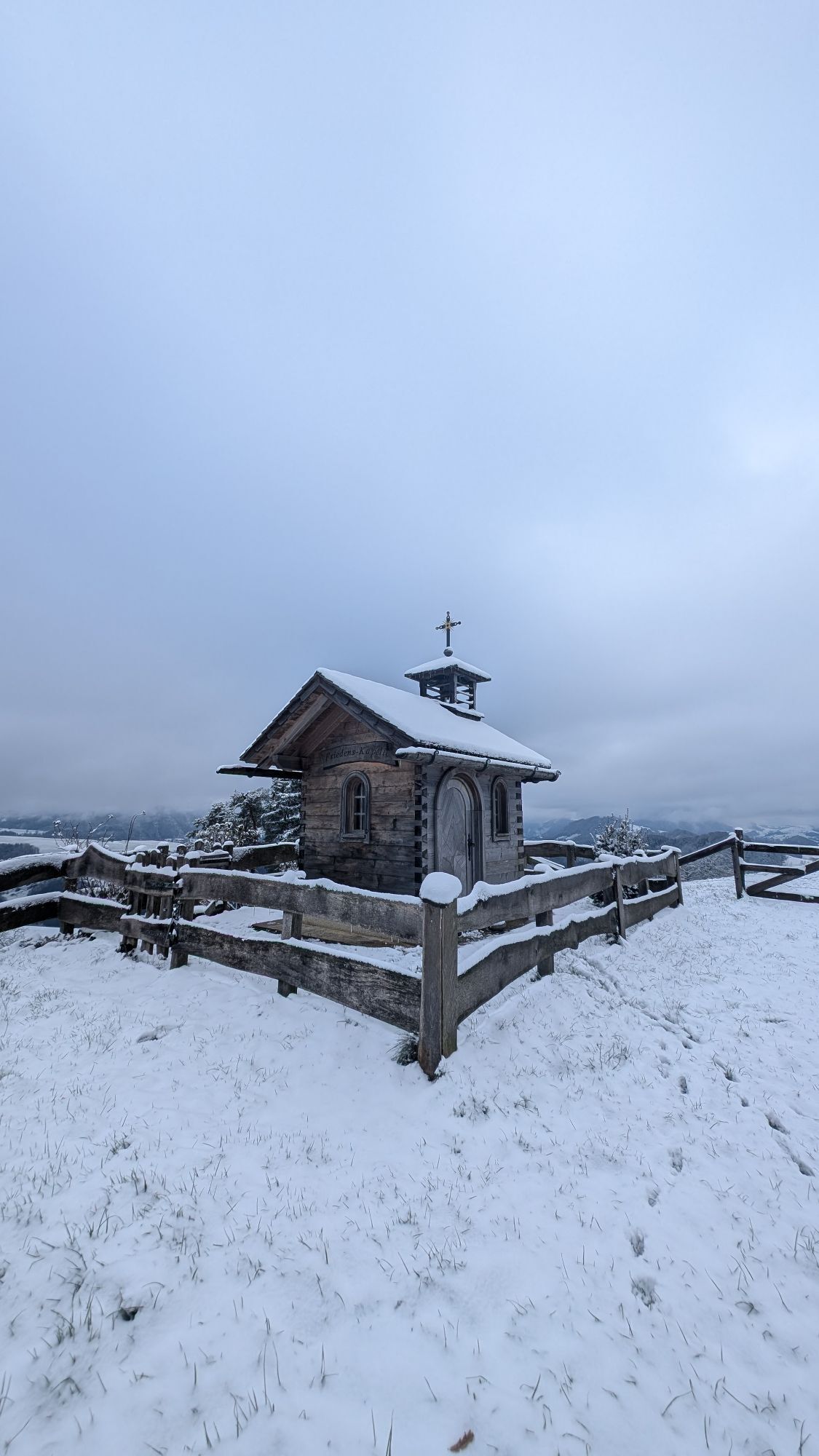
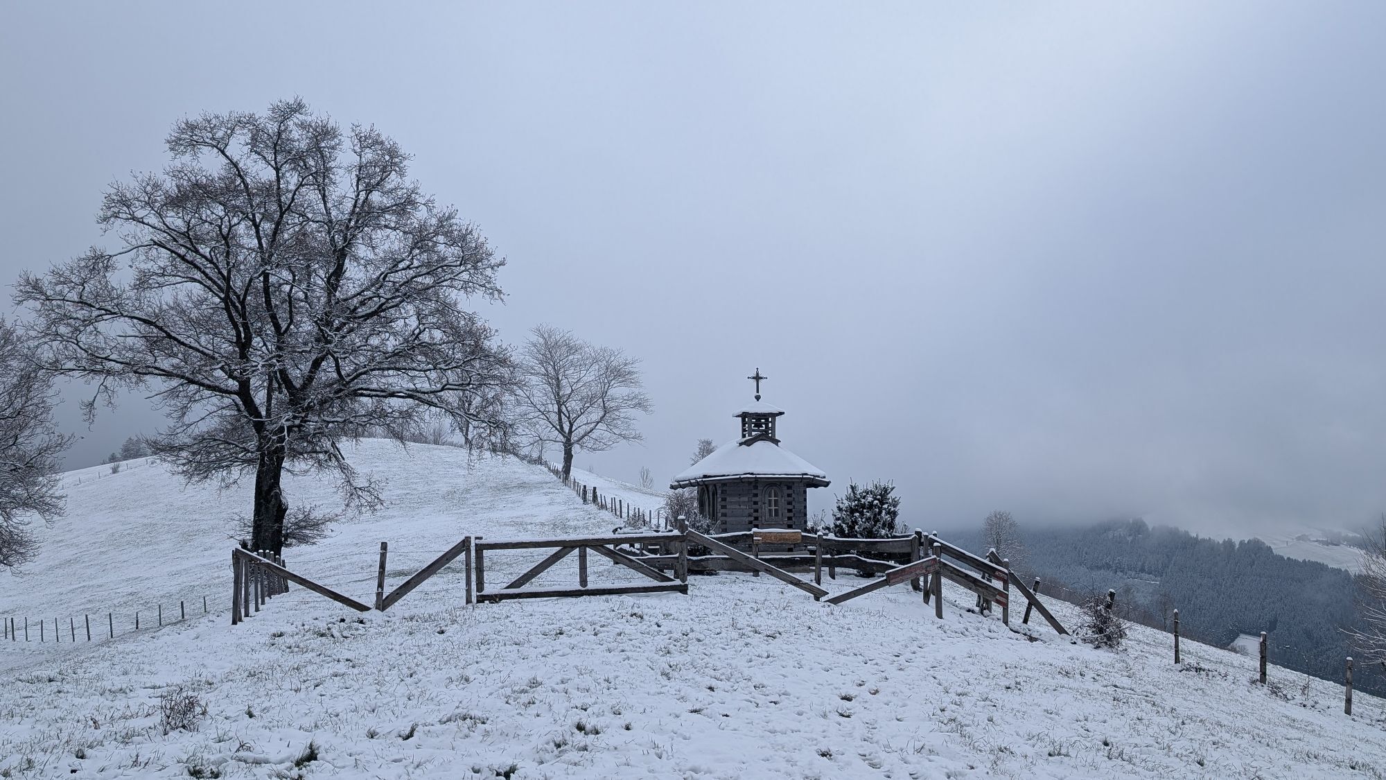
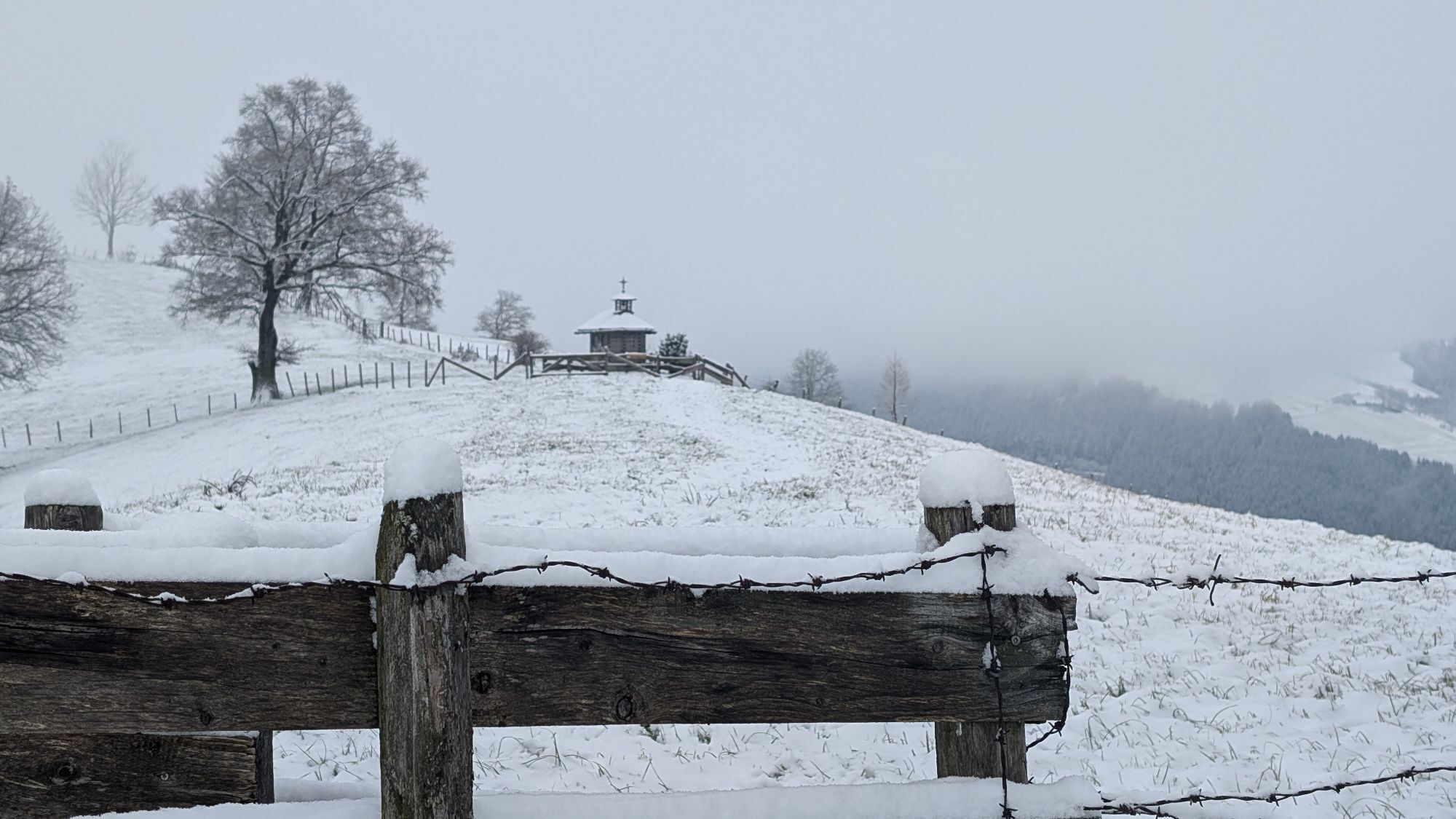
Maria Neustift - family-friendly hikes on Glasenberg and Freithofberg, Ramingtal archery course.
Museums/Exhibitions
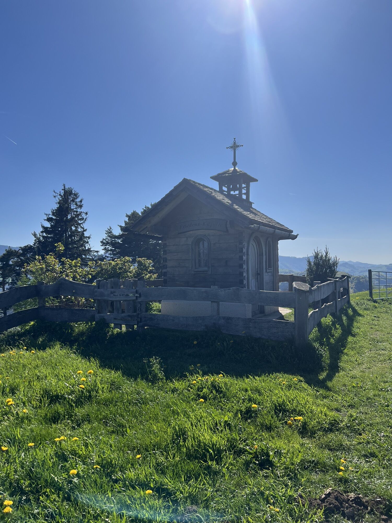
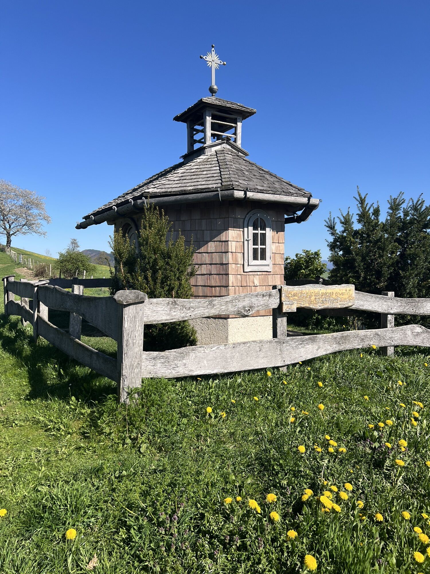
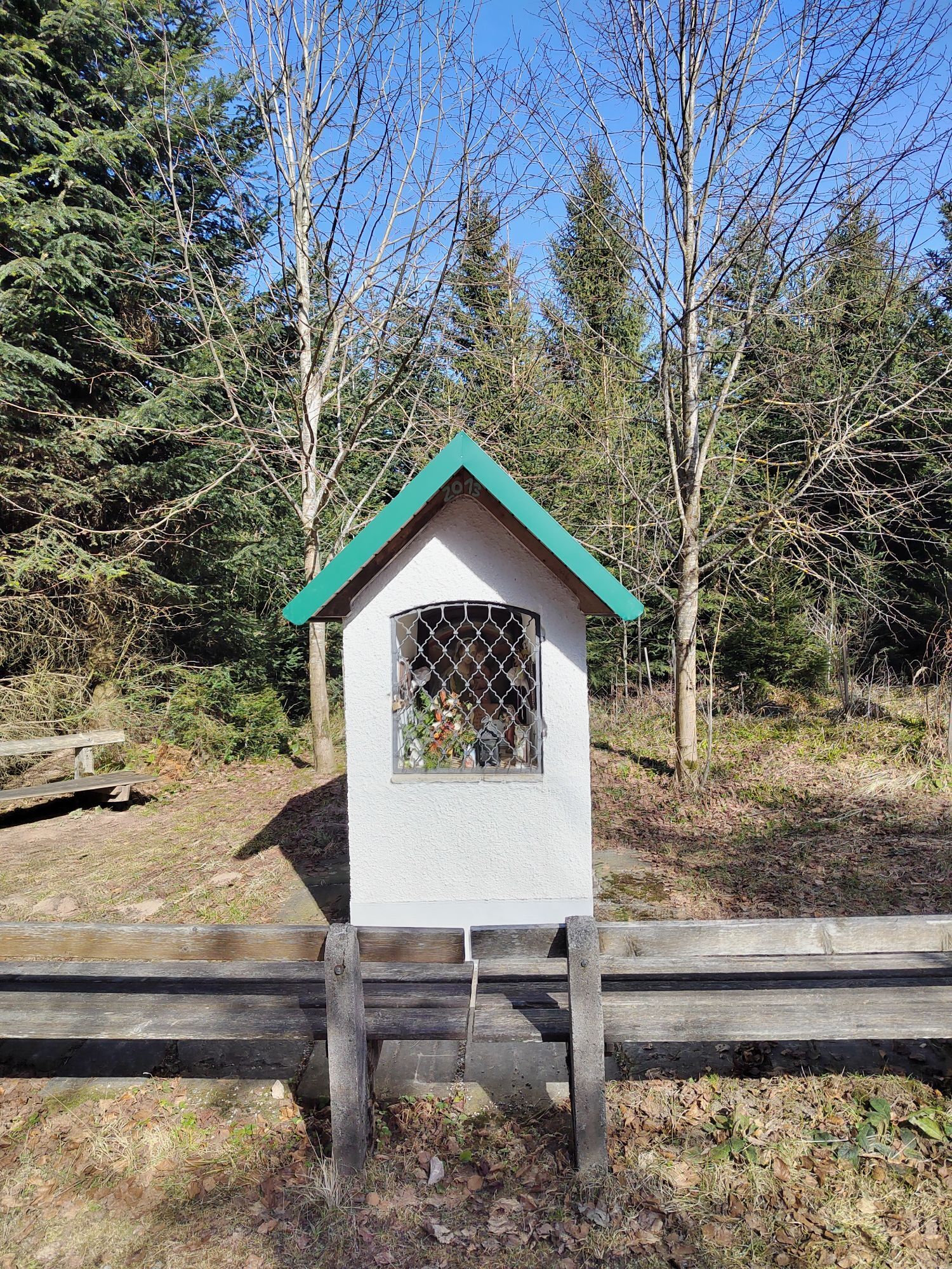
Laussa - collection of Stone Age finds at the municipal office, Sengstschmied chapel in Pechgraben, Mitterberger Troadkasten (approx. 1.5 km off the Sebaldusweg).
Opening hours and Mass times:
Parish church Losenstein, parish church Laussa, pilgrimage church Maria Neustift

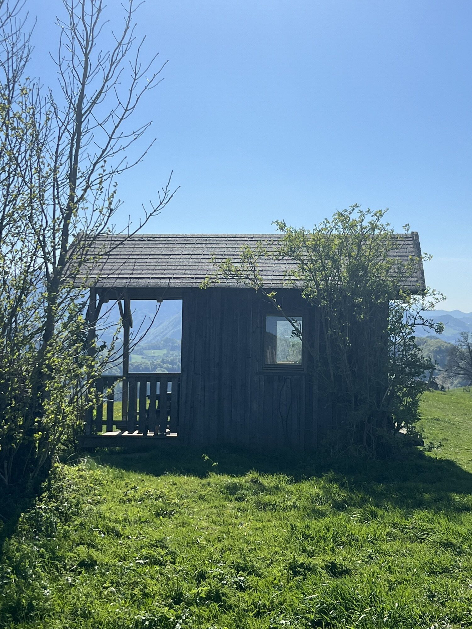
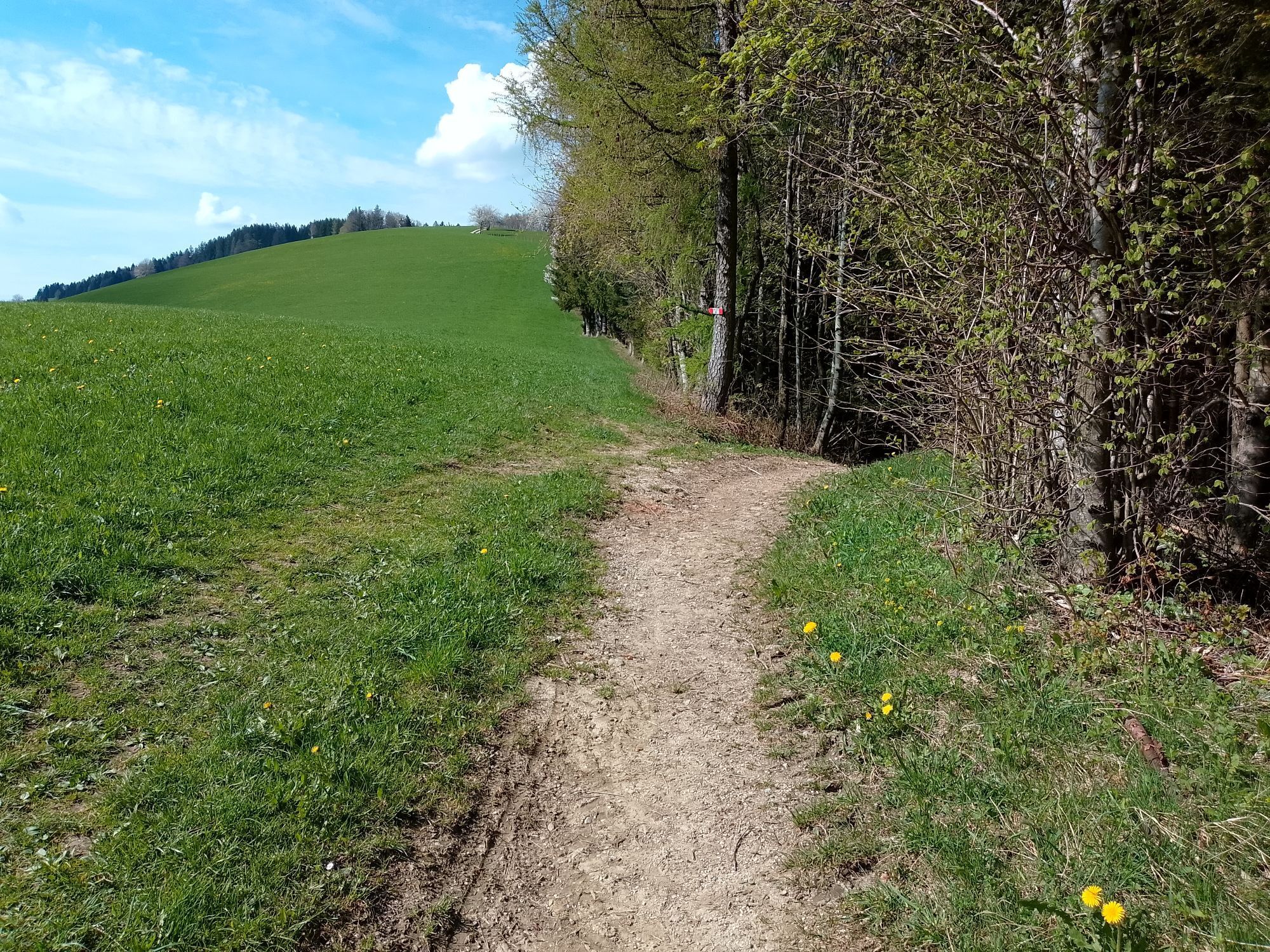
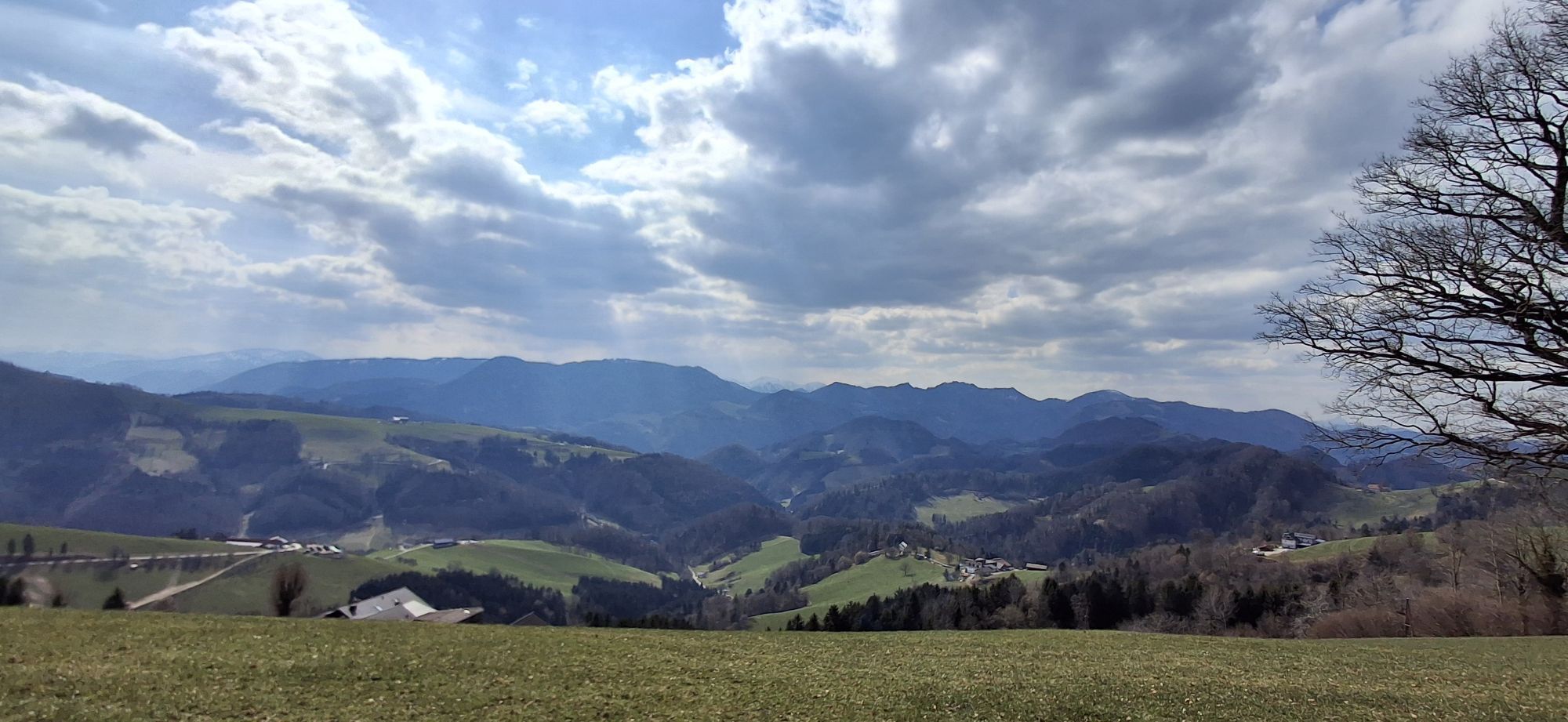
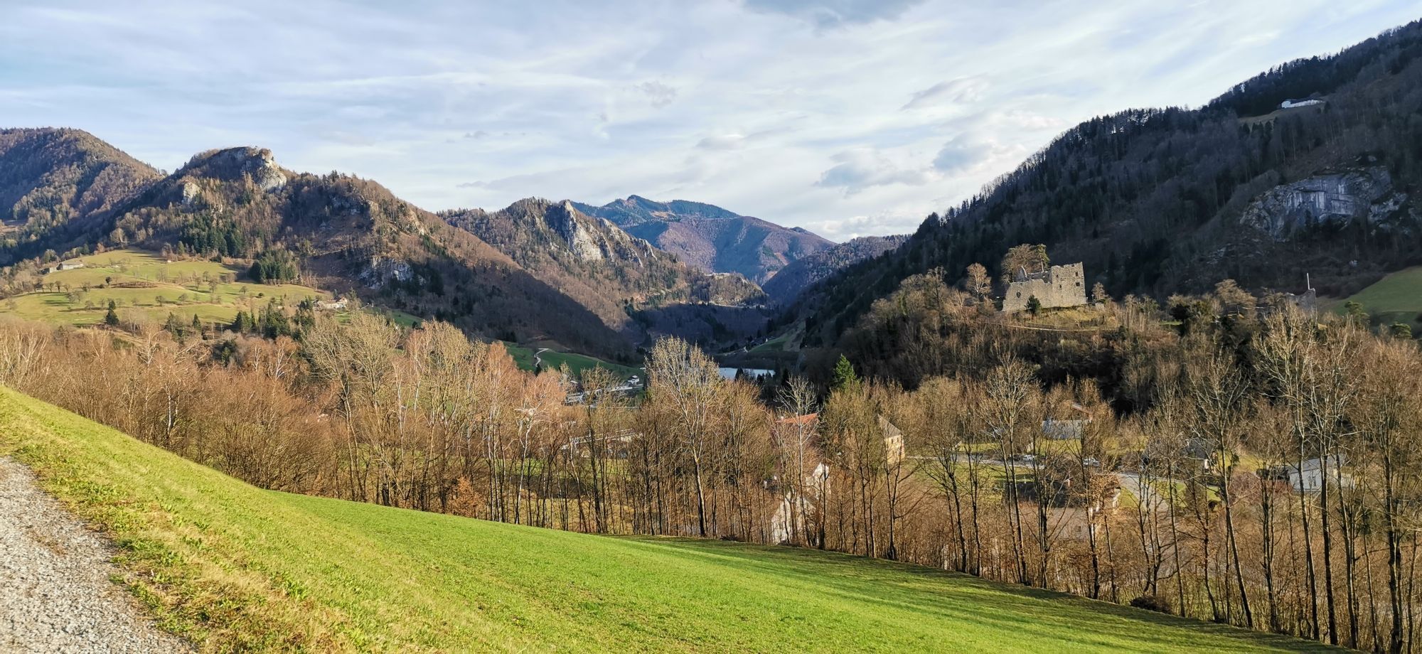
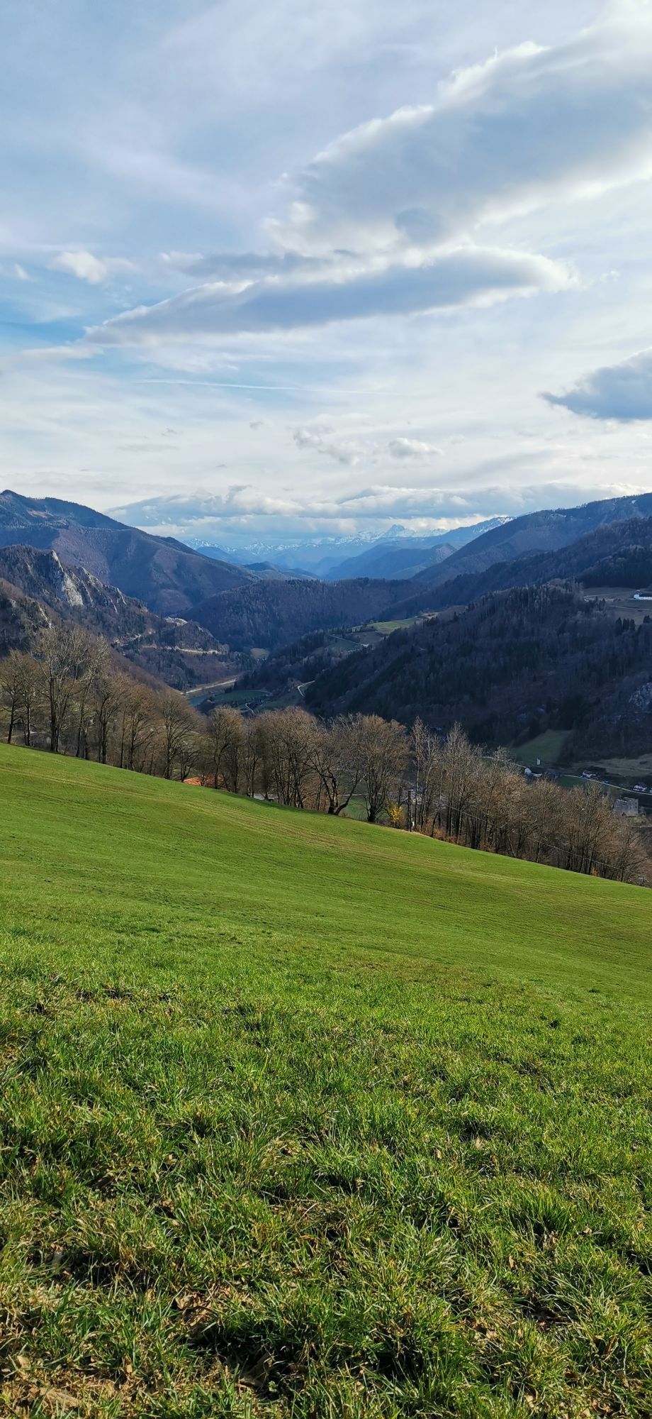
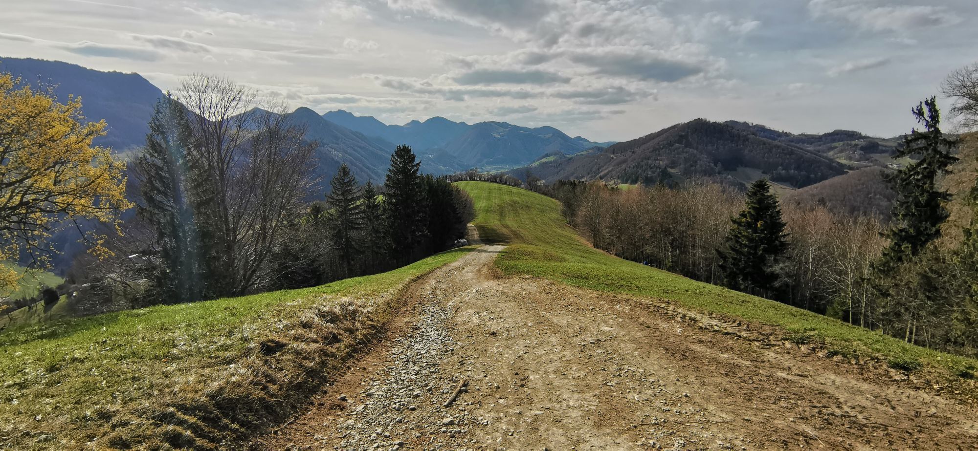
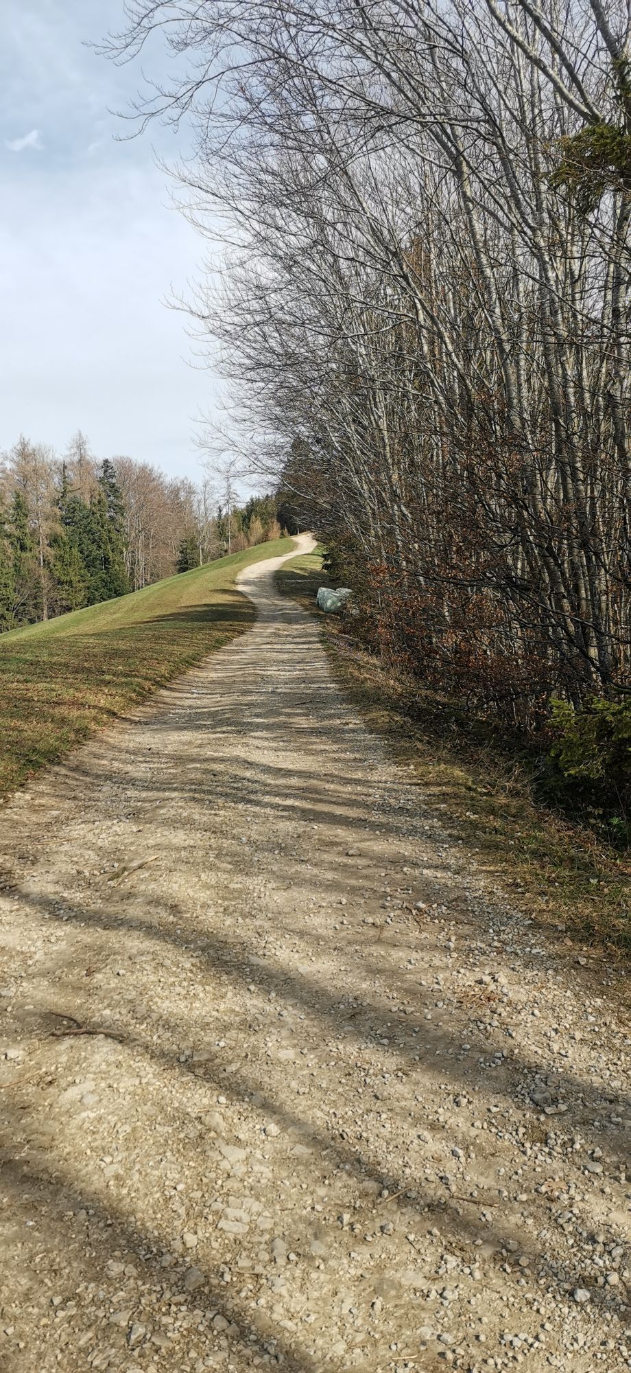
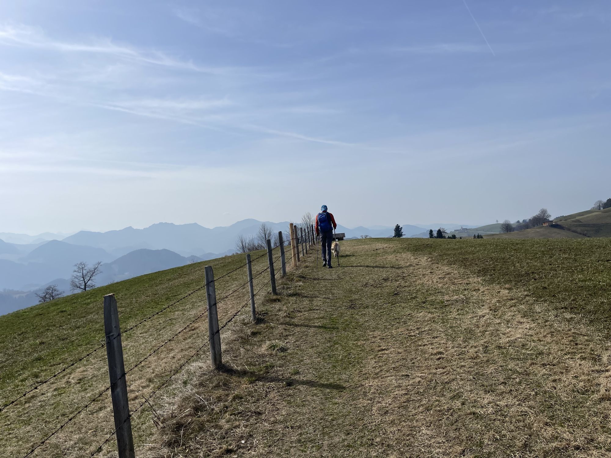
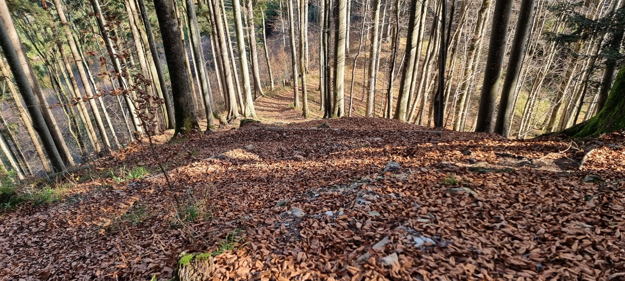
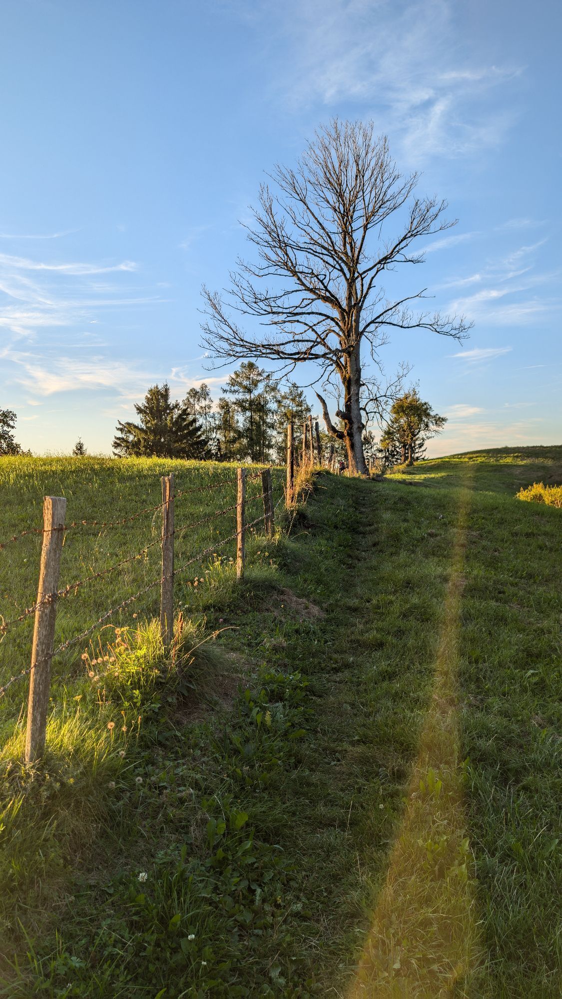
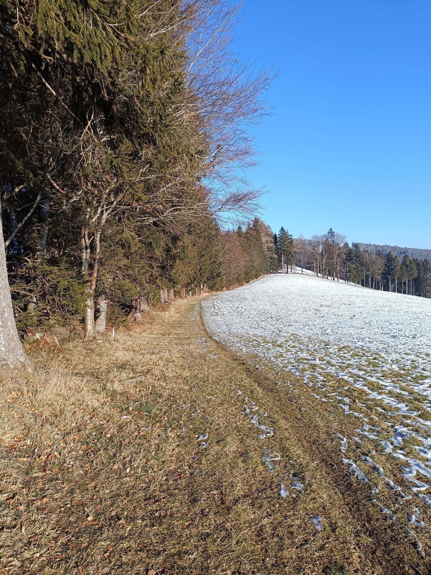
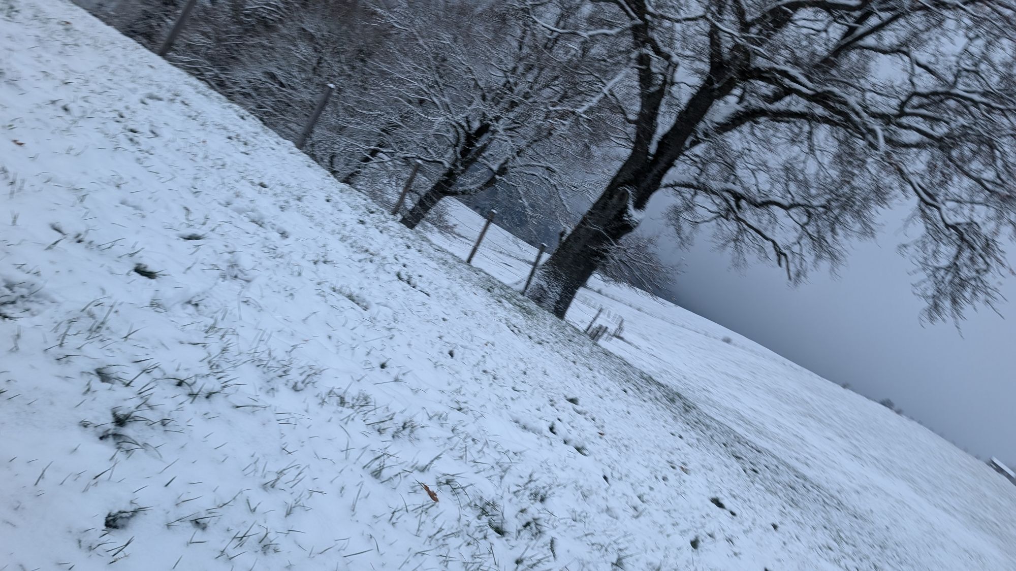
From the village square of Losenstein (church), the path leads up to the Kirchenberg, then continues along hiking trail E74 to the Fatima Chapel and from there further towards Sauzahn. Before Sauzahn, at the old linden tree, turn left onto the Brettertal farm road descending to Laussa.
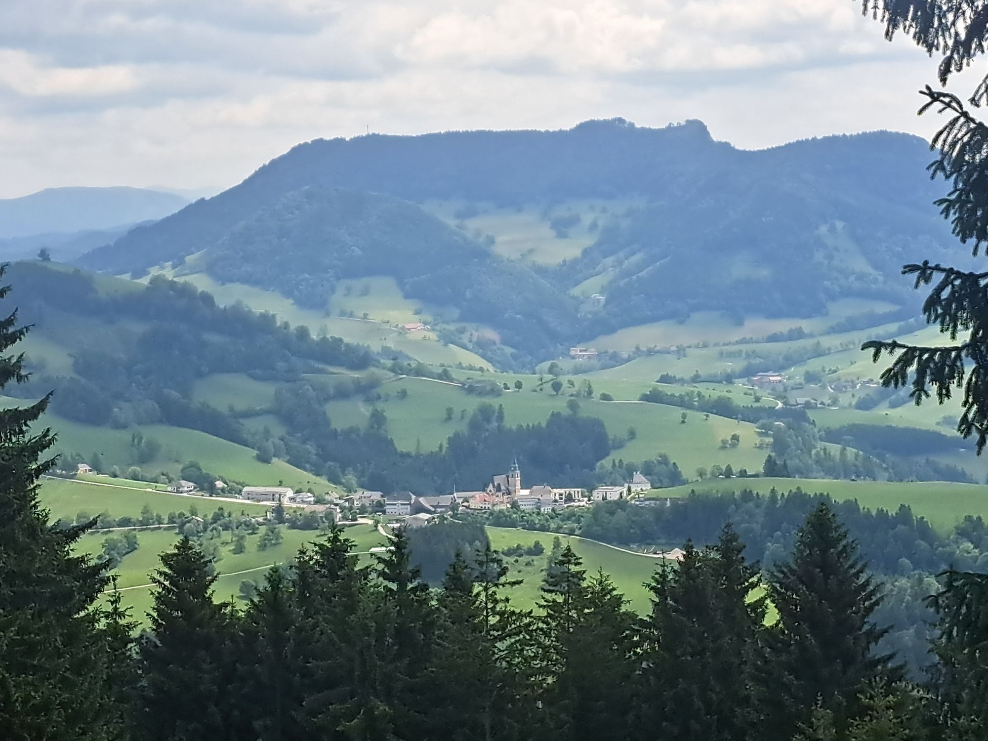
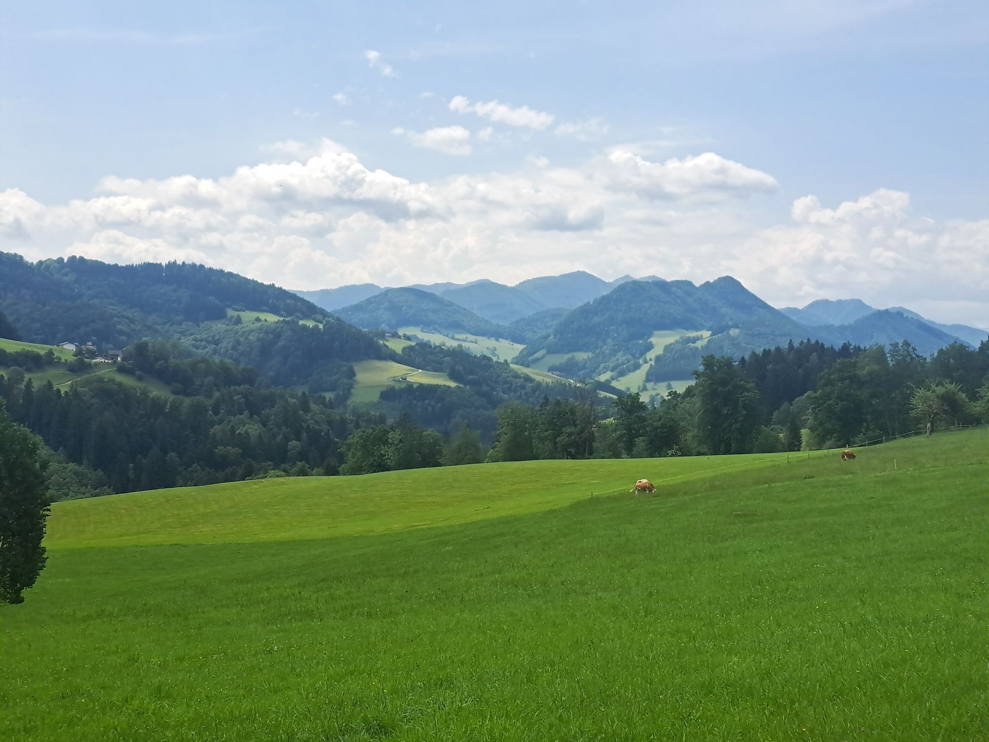
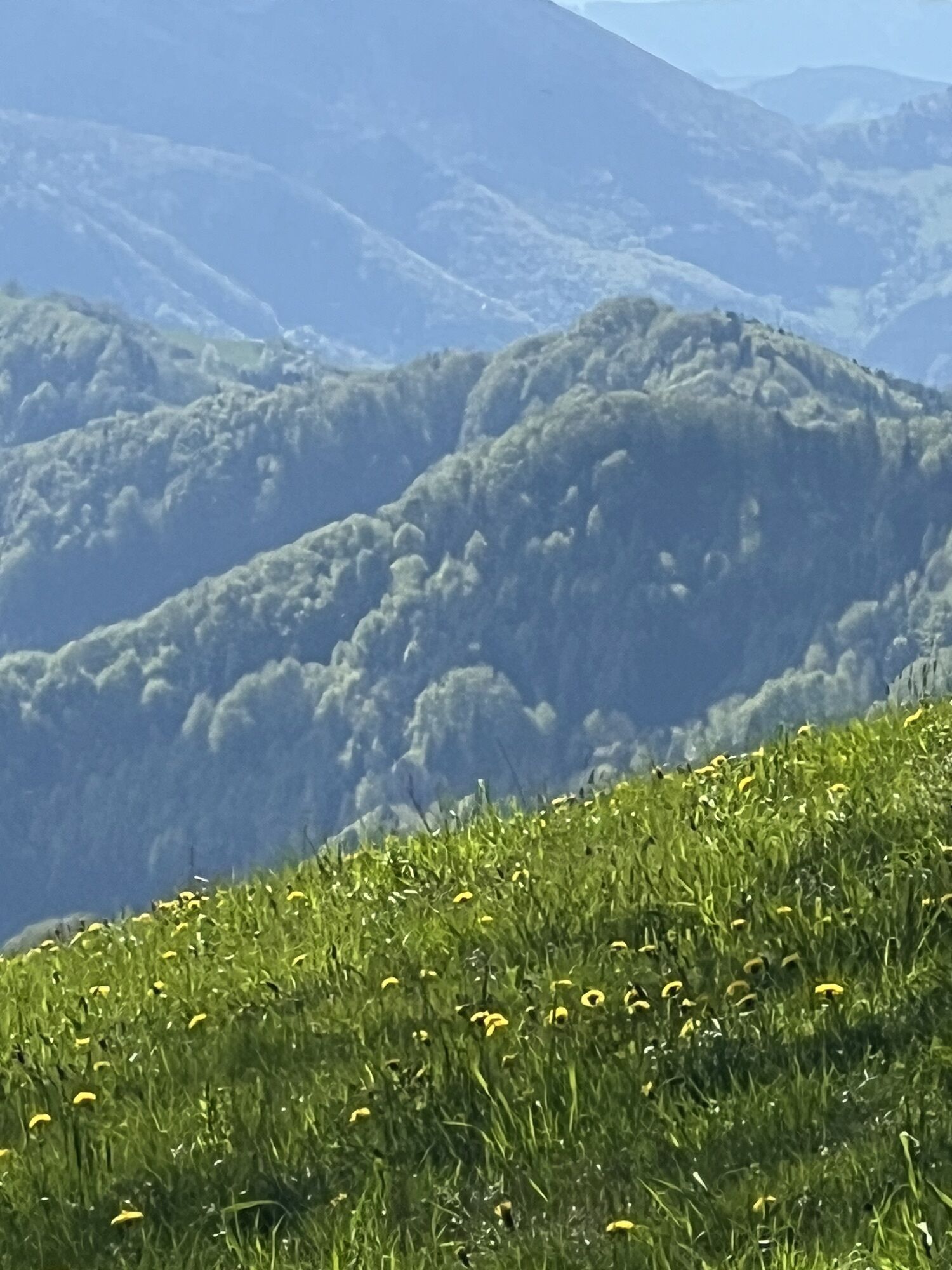
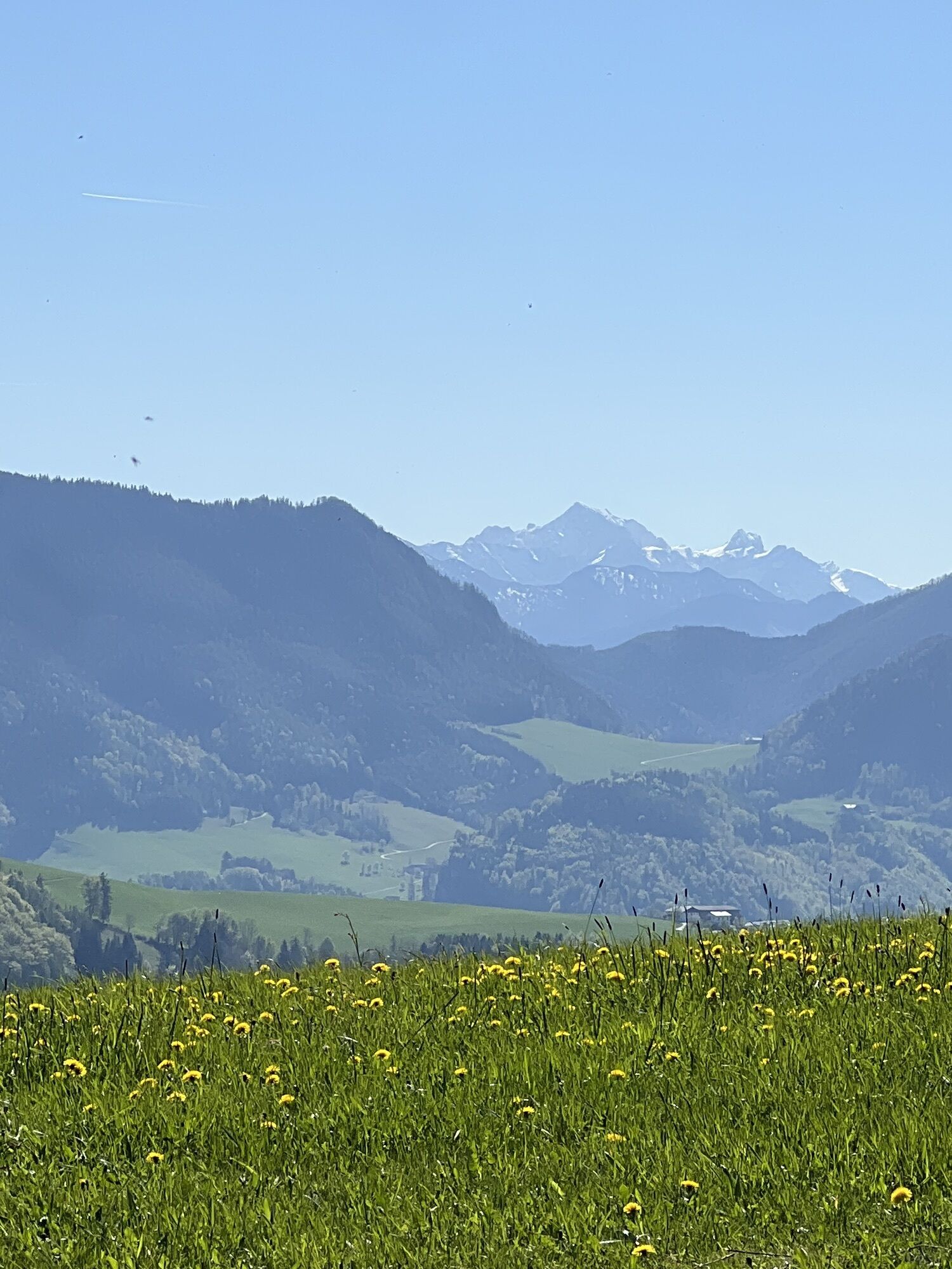
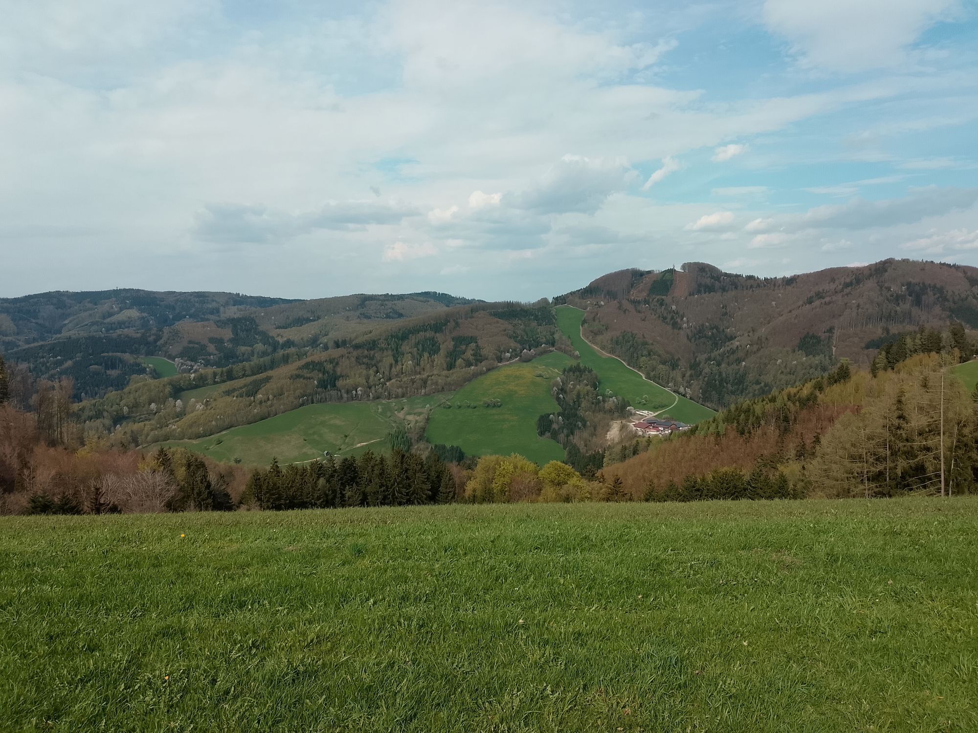
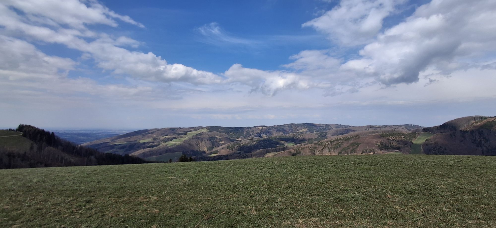
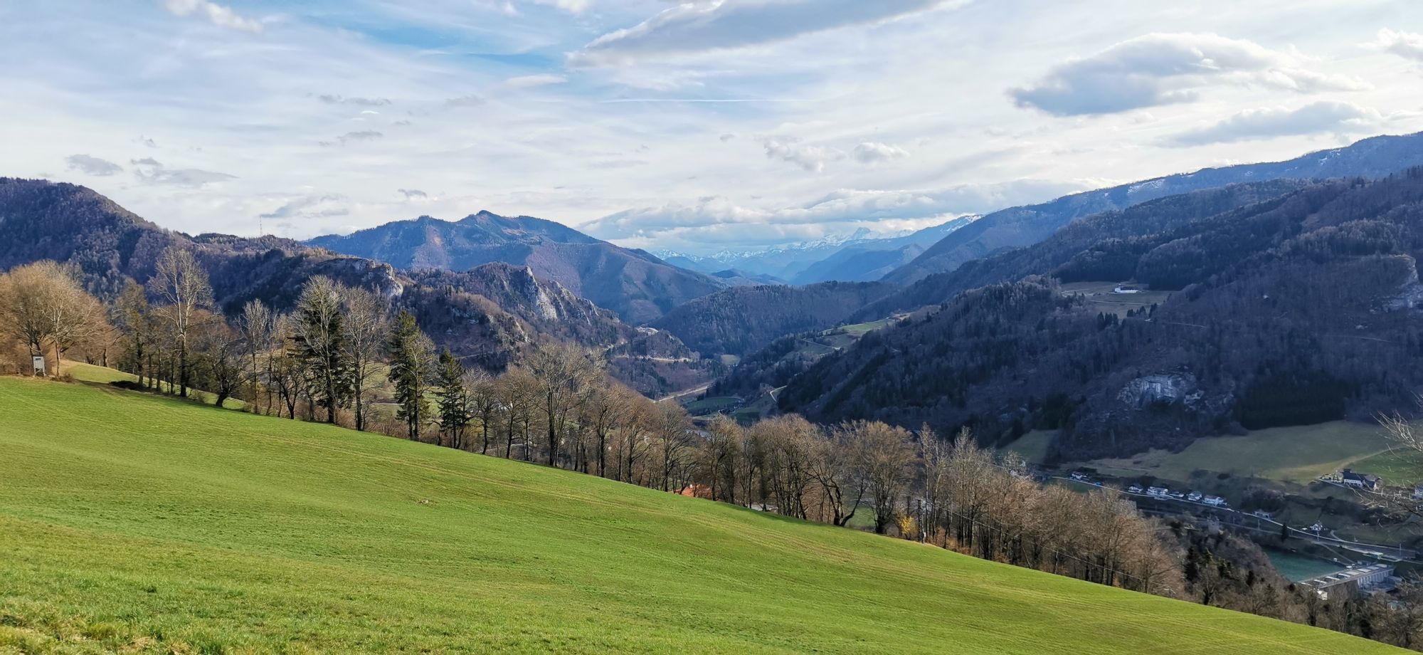
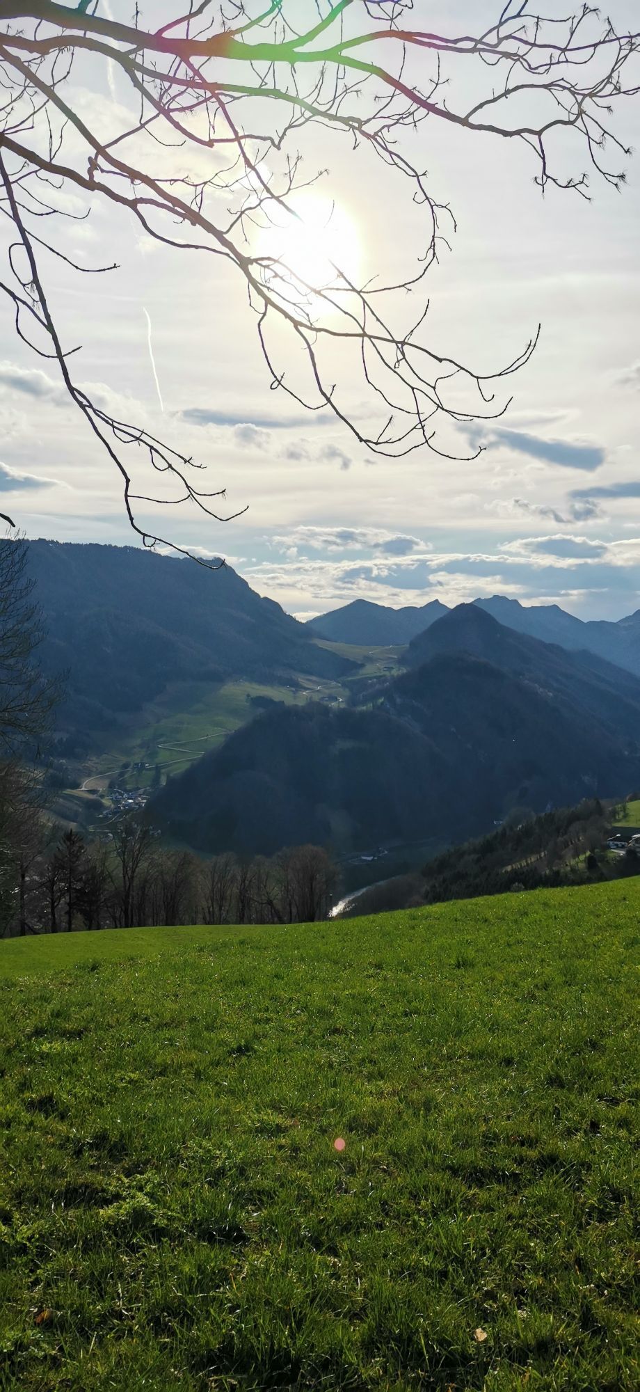
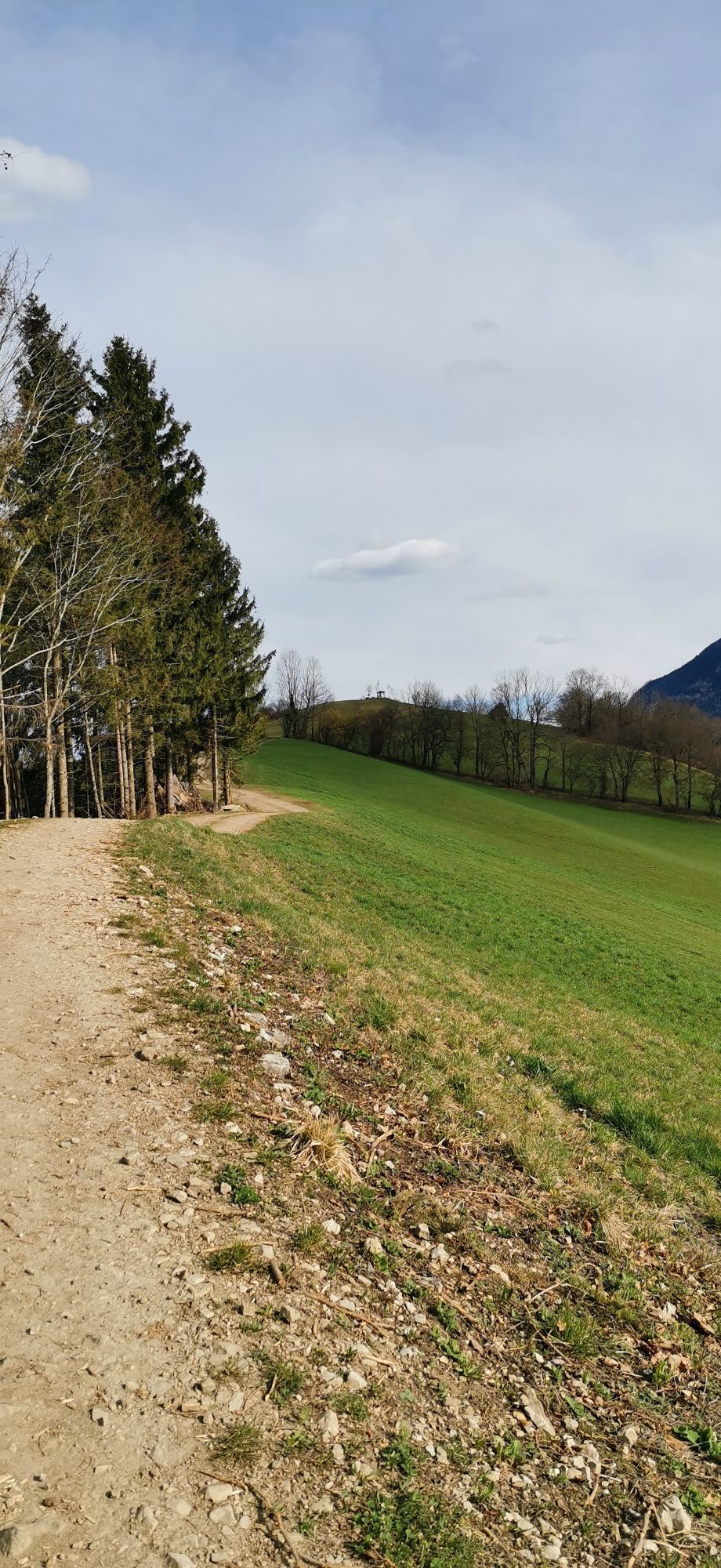
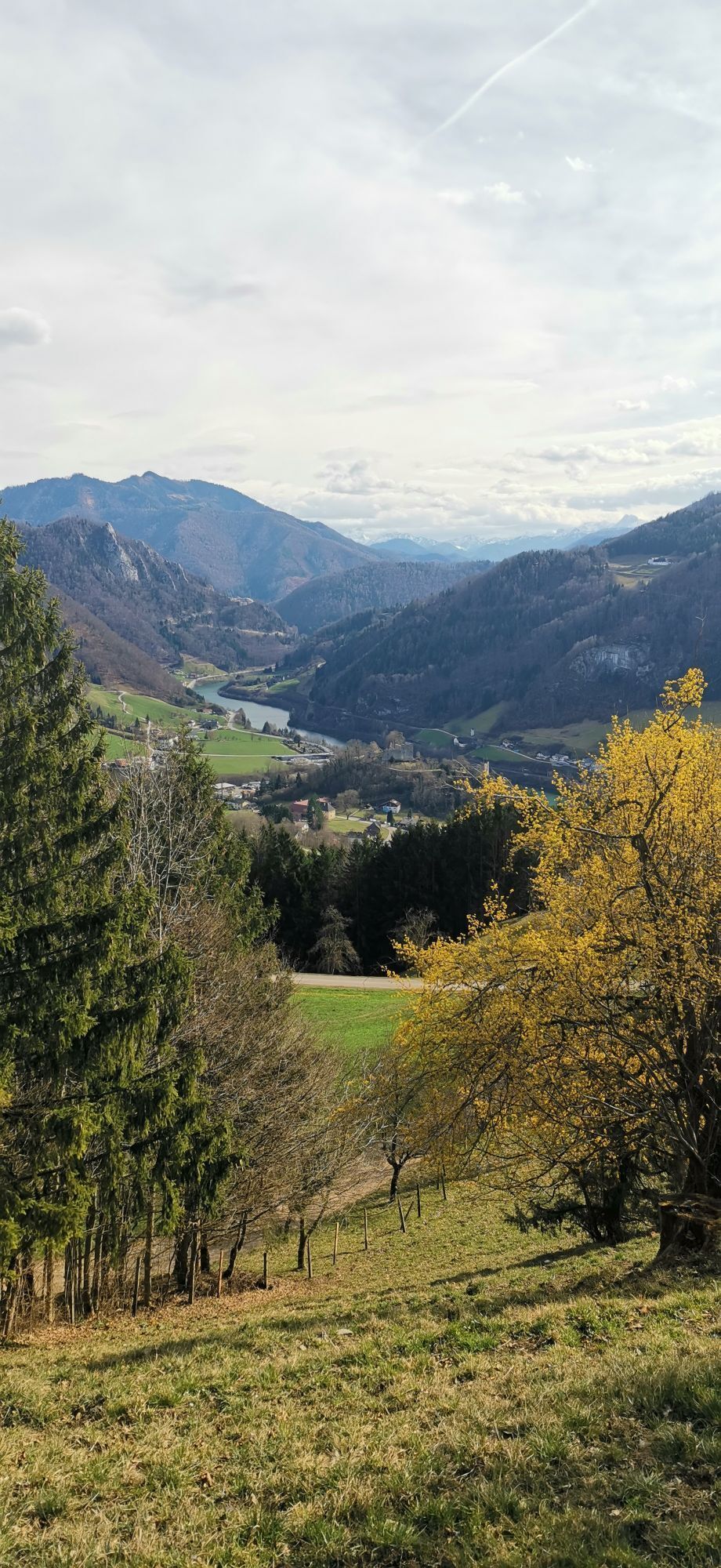
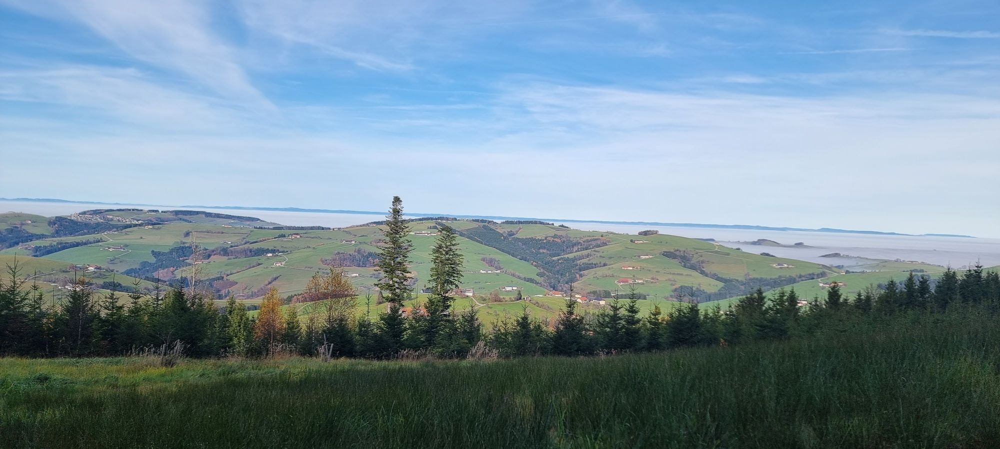
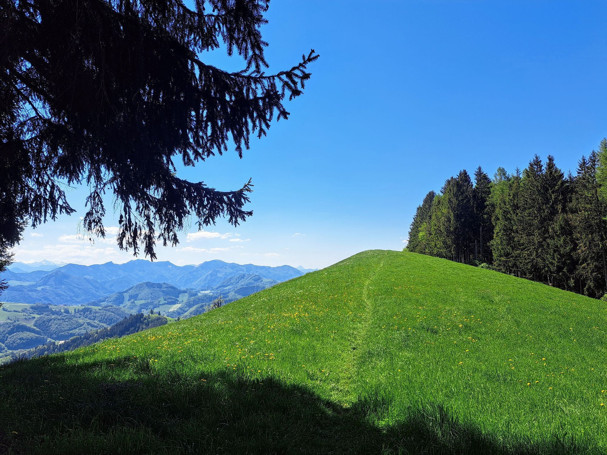
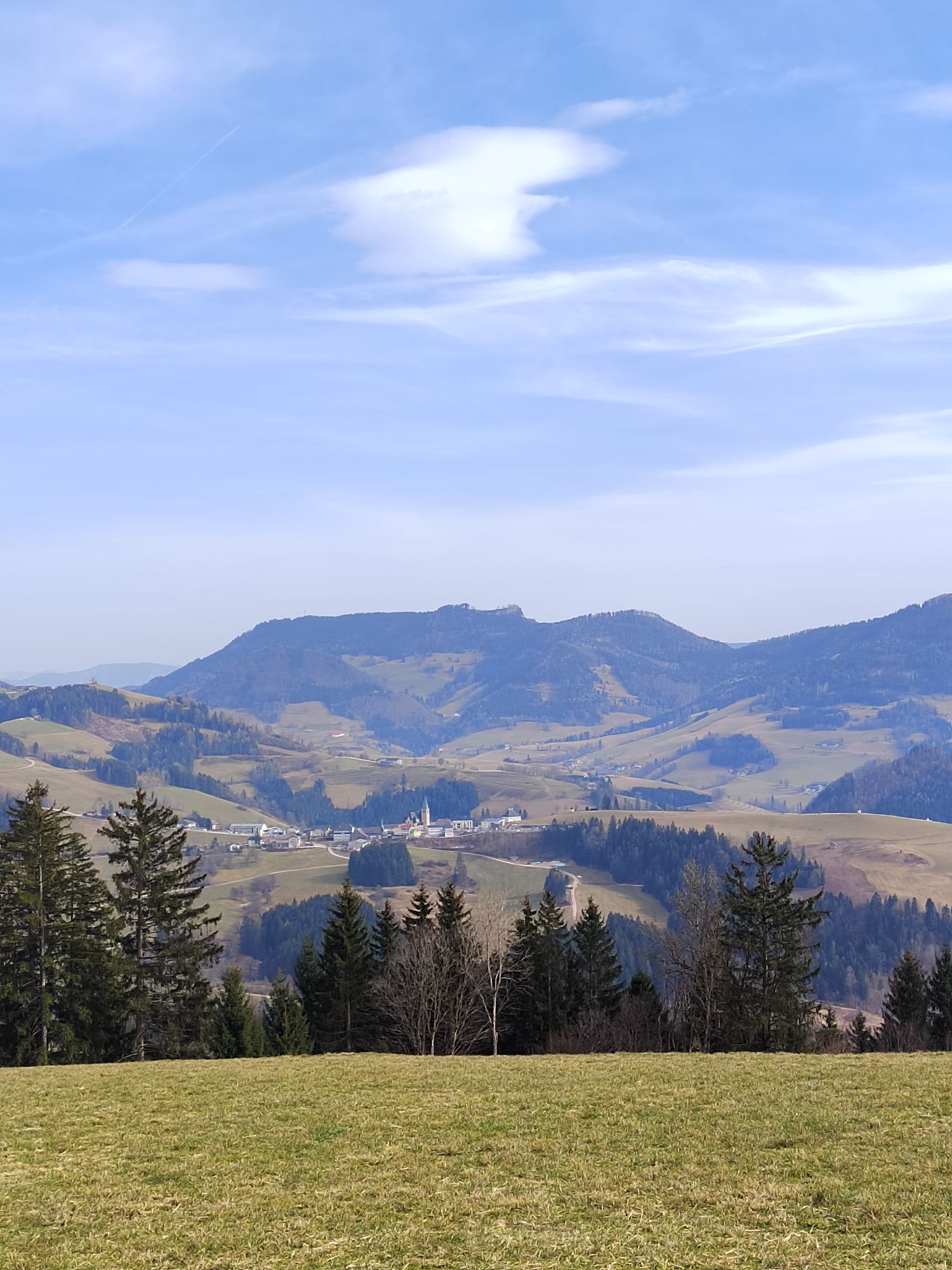
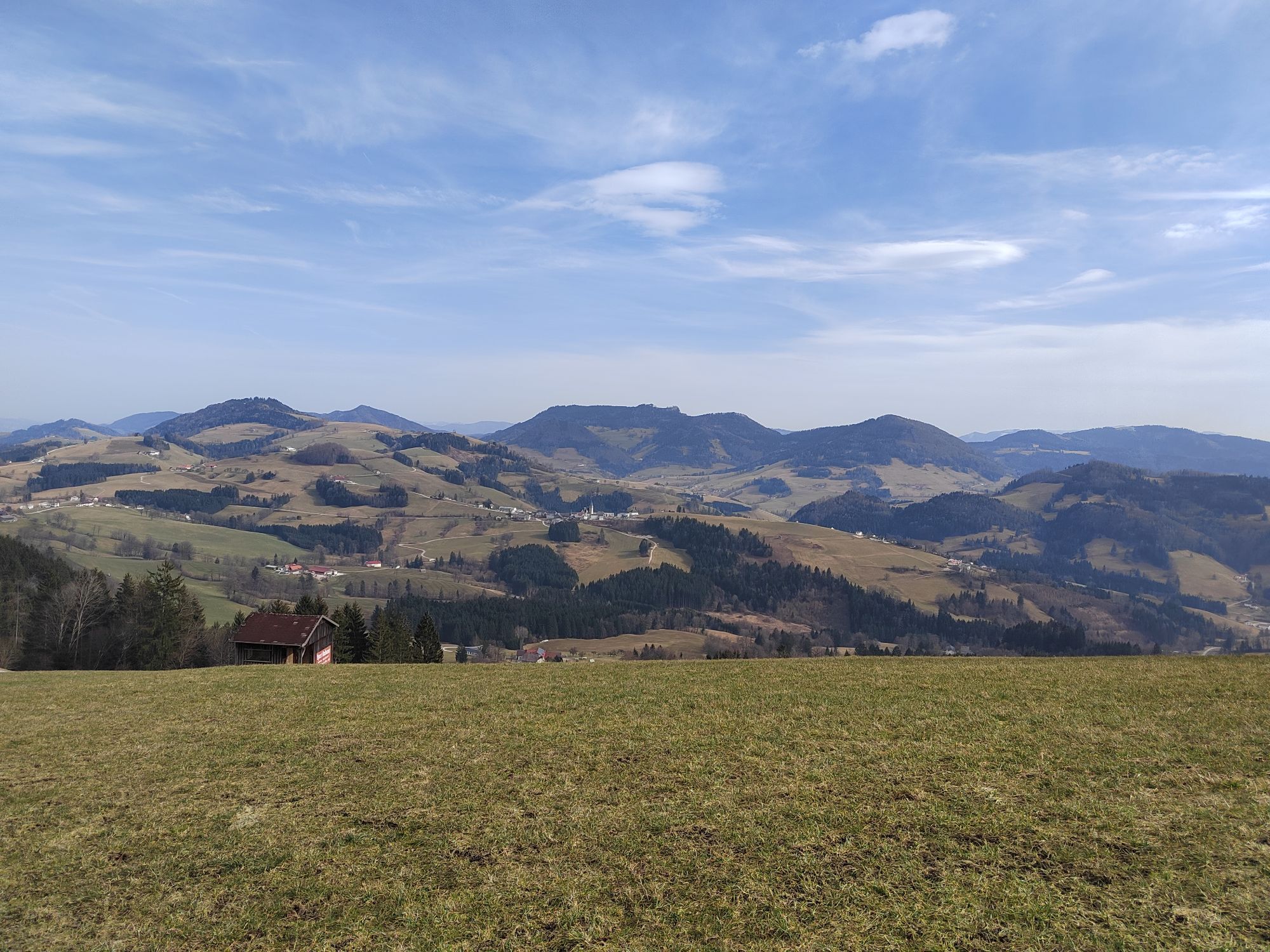
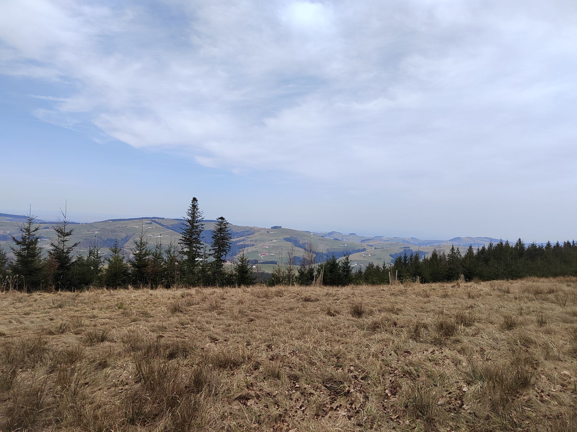
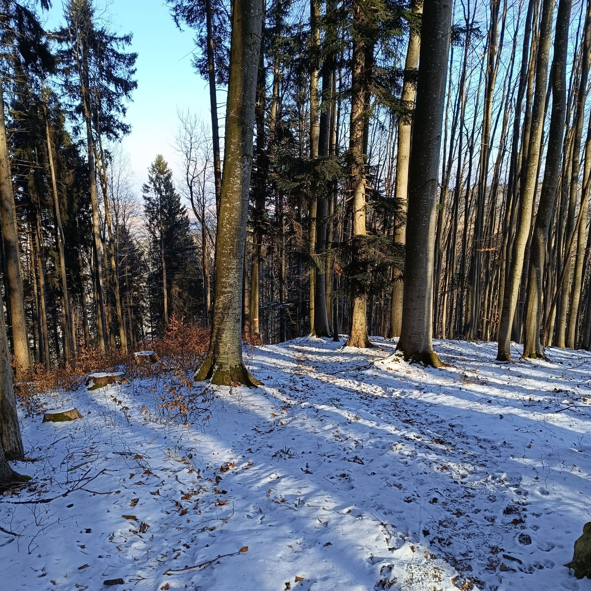
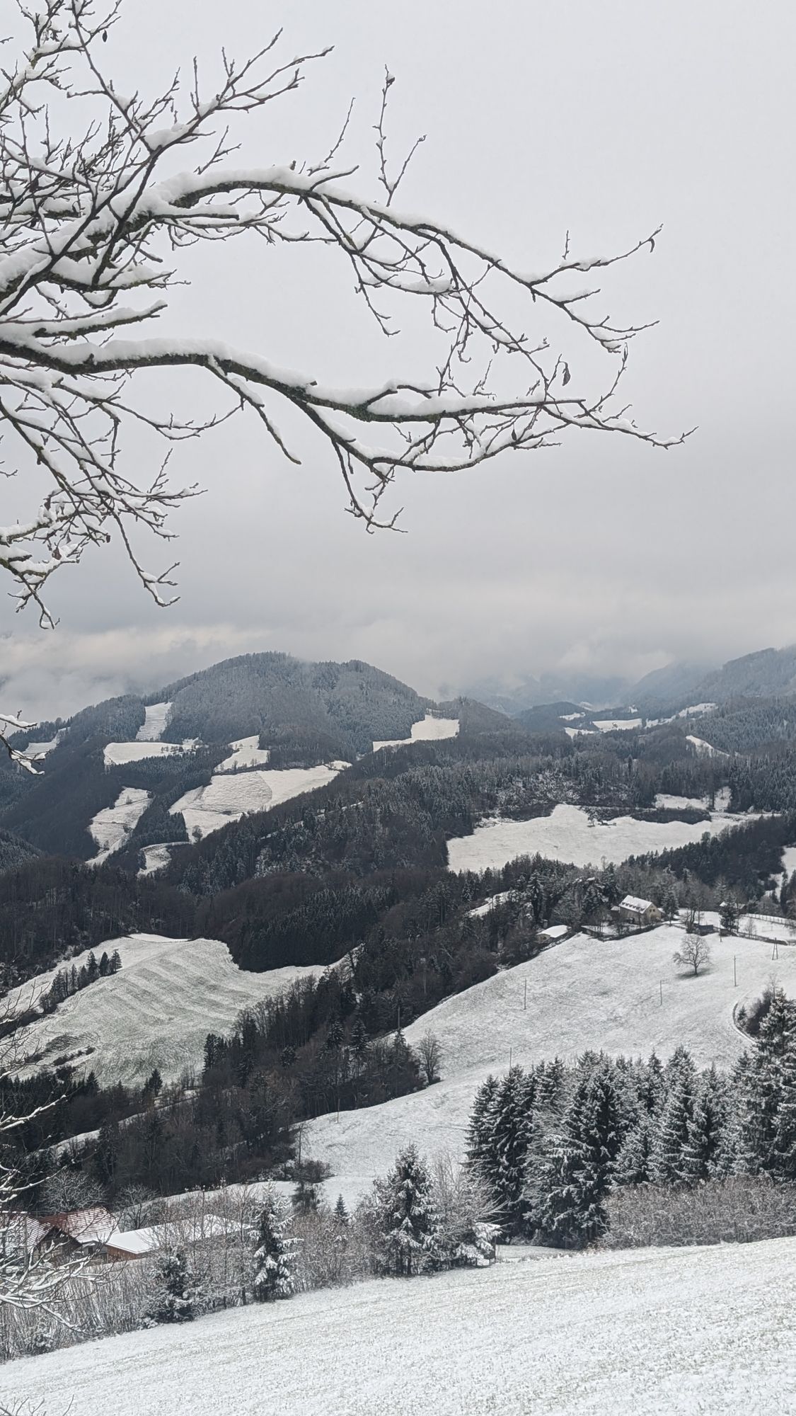
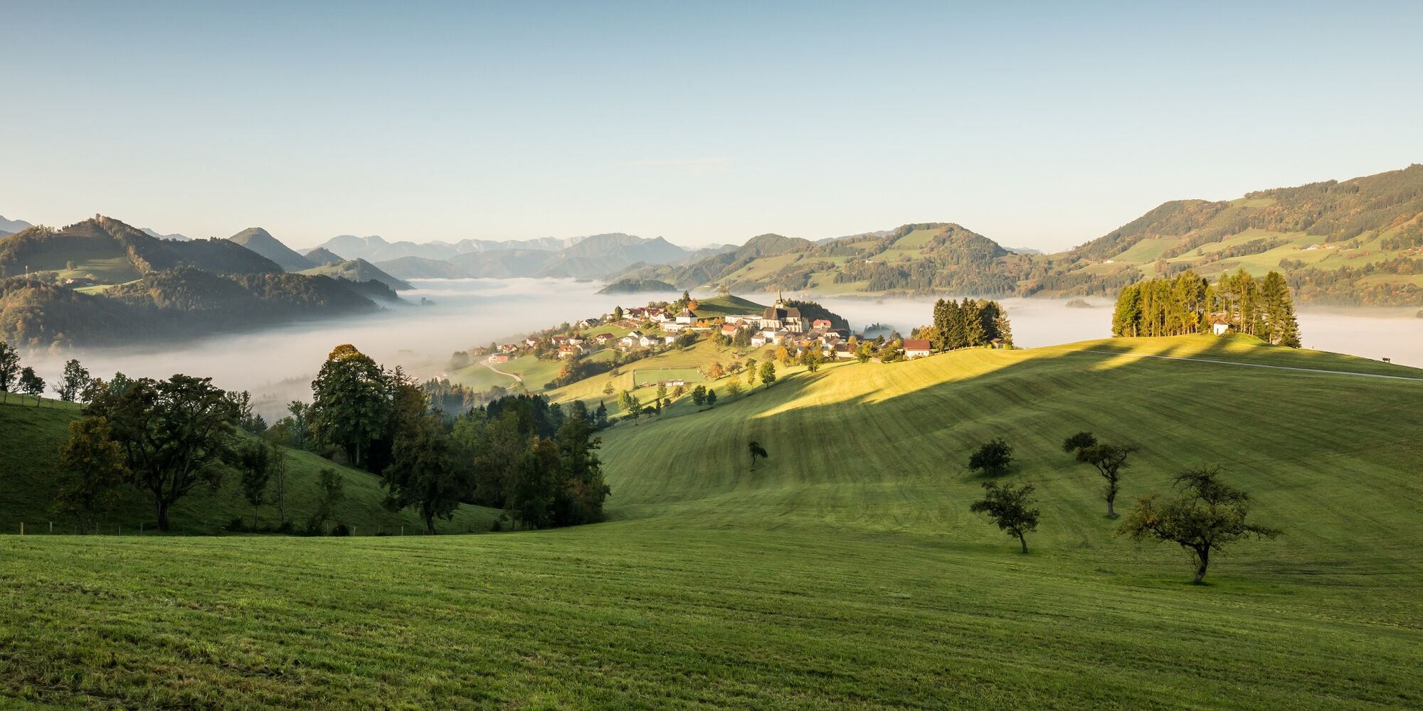
From the parish church in Laussa, walk to the Geiger inn, then follow a steep meadow path towards Sonnberg. At the Breitn Chapel, turn left and follow the Rotbauer farm road along the Flößerweg. After a longer uphill section past the Schneiderweg holiday farm, you reach the junction on the Sonnberg ridge. From here, follow the long-distance trail 04/06, pass the Laussa wind park, continue to Spadenberg, and arrive via Glasenberg — a detour to the summit is very worthwhile due to the view and panorama over the pre-Alpine peaks — to Maria Neustift.
Tak
Sturdy hiking boots, sun and rain protection, first aid kit for emergencies, possibly hiking poles.
As there are few opportunities to stop for refreshments directly along the trail, it is advisable to take enough snacks and drinks with you.
From Vienna: A1 motorway exit Haag > B42 > B122 > B115 into the Enns Valley
From Passau: A8 Passau > Wels > A1 motorway exit Enns-Steyr > B115 into the Enns Valley
From Graz: A9 Pyhrnautobahn > motorway exit Klaus > Grünburg > into the Ennstal valley
Losenstein, Großraming, Weyer and Gaflenz are perfect for reaching the Sebaldusweg by train.
Details at www.ooevv.at
Public free parking at the train station or at the family inn Blasl
Information about dining and accommodation options or bookable offers at www.sebaldusweg.at
Stopping for refreshments along the way:
It is recommended to carry enough snacks and drinks, as there are only limited catering options during the stages. It is also advisable to check the opening hours of the gastronomy businesses in advance. Detailed information about dining options can be found at Gastronomy Sebaldusweg (steyr-nationalpark.at)
Kamery internetowe z trasy


Popularne wycieczki w okolicy
-
4,9
Ennser Hut - Almkogel (from Bamacher car park)
średniWędrówka 3,53 km -
4,6
Schoberstein (from Molln)
średniWędrówka 3,63 km -
4,8
Steinerner Jäger (1185m) und Schieferstein (1206m) ab Parkplatz Hochhabichler
średniWędrówka 4,46 km -
4,7
GROSSRAMING Bamacher, Burgspitz, Almkogel, Ennshütte 20240730
średniWędrówka 10 km -
4,6
Pfaffenmauer - Schoberstein - Gipfel der Lust Gasthof Klausriegler, Oberösterreich/Österreich
średniWędrówka 9,72 km -
4,5
Ternberg -Schoberstein
średniWędrówka 6,60 km -
4,3
Freithofberg
średniWędrówka 9,15 km -
4,7
Steinerner Jäger (1185m) und Schieferstein (1206m) ab Parkplatz Hack
ciężkiWędrówka 8,58 km -
4,6
Gamsstein (1275m) und Gschwendtalm ab Parkplatz Brunnbach
średniWędrówka 7,37 km -
4,8
Enns Active Trail Ternberg
średniWędrówka 9,61 km
Wędrówki i tropienie


Nie przegap ofert i inspiracji na następne wakacje
Twój adres e-mail została dodana do listy mailingowej.