







Anton Schosser Hut - To the Hohe Dirn

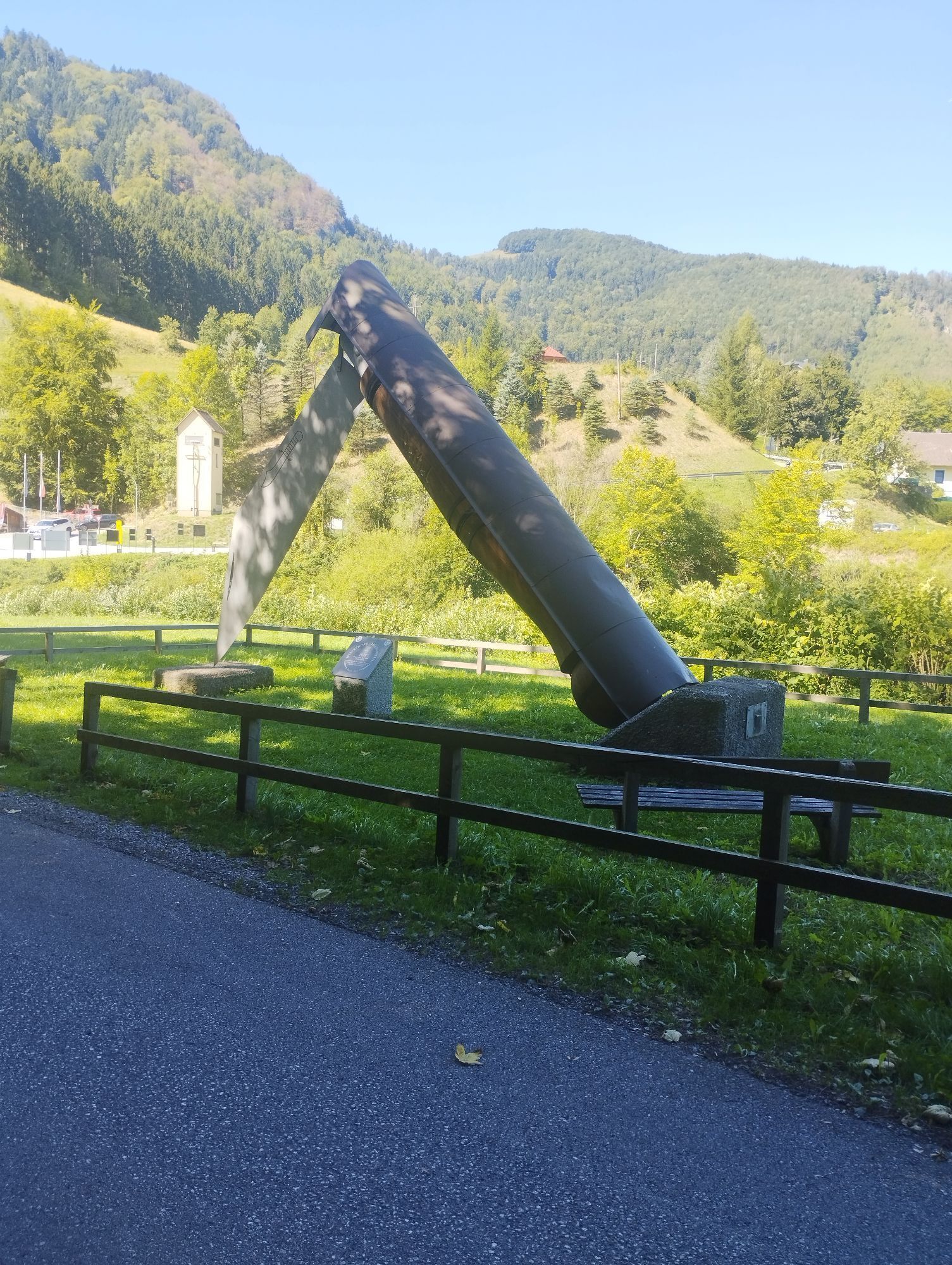
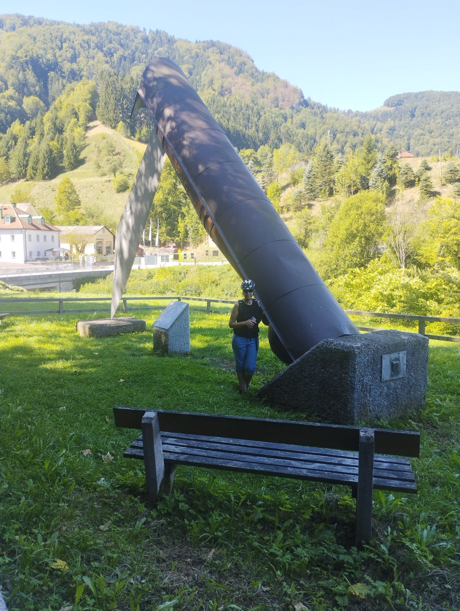
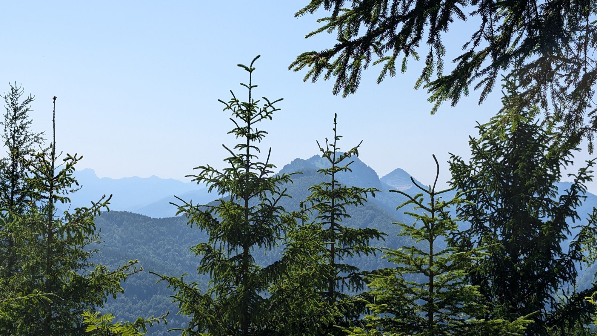
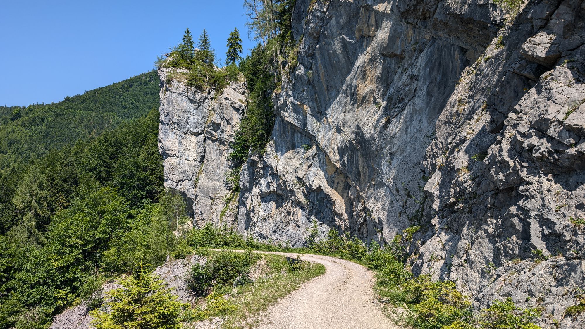
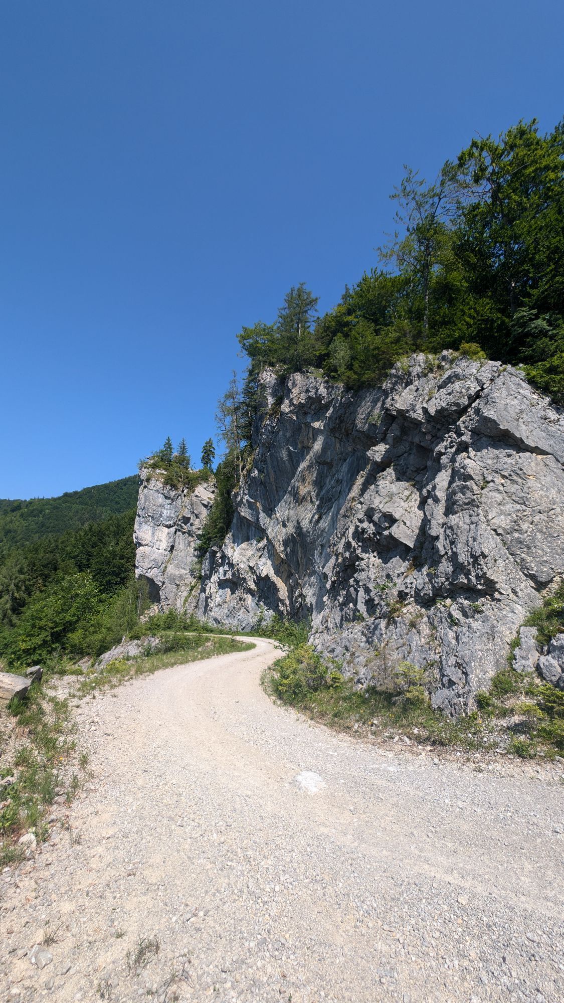
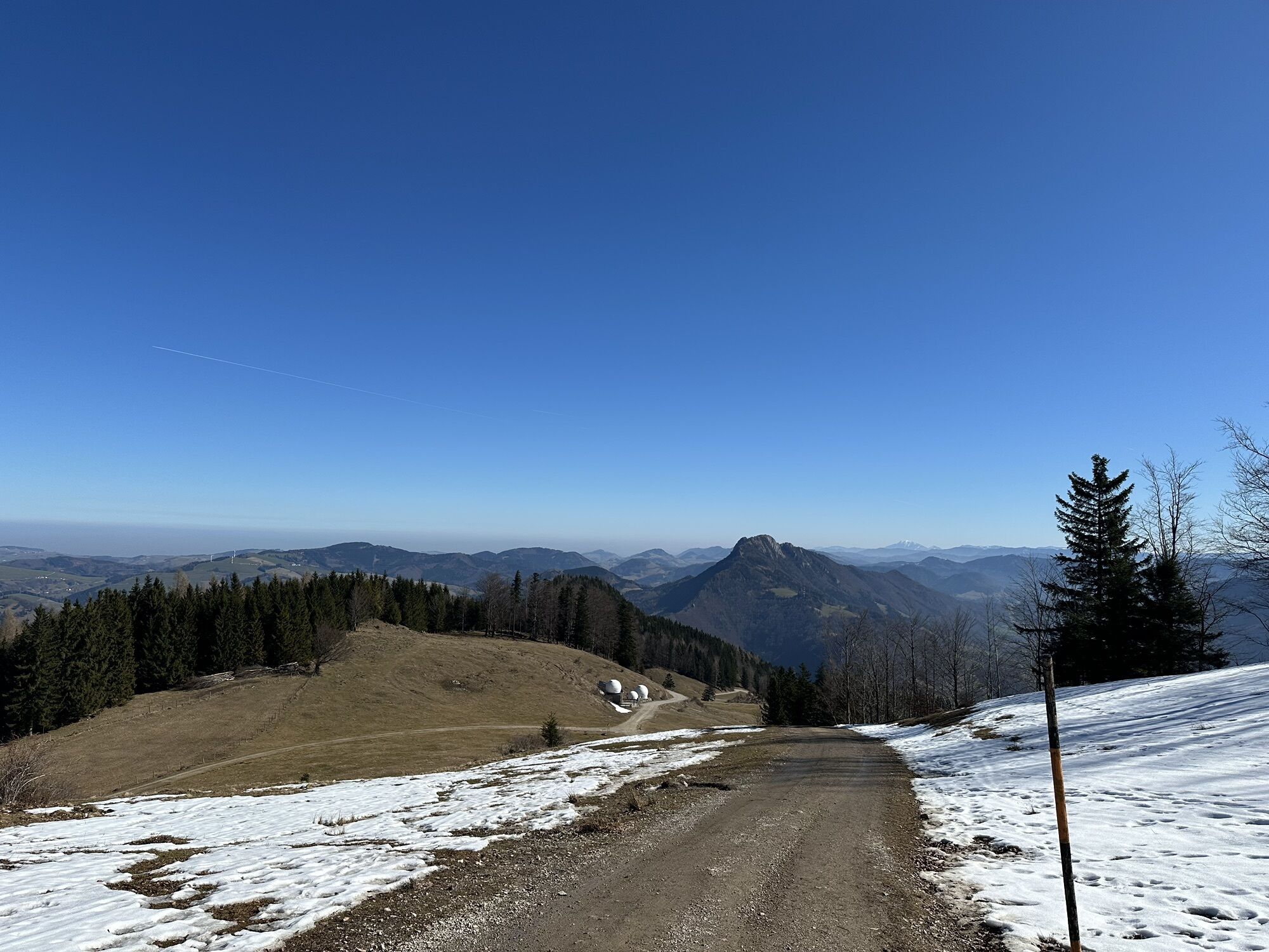
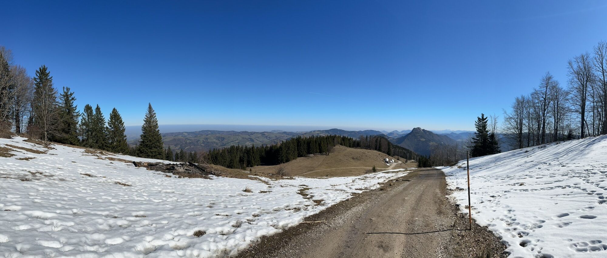
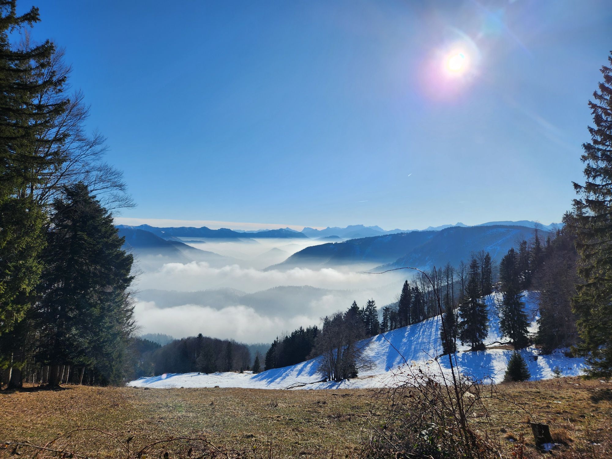
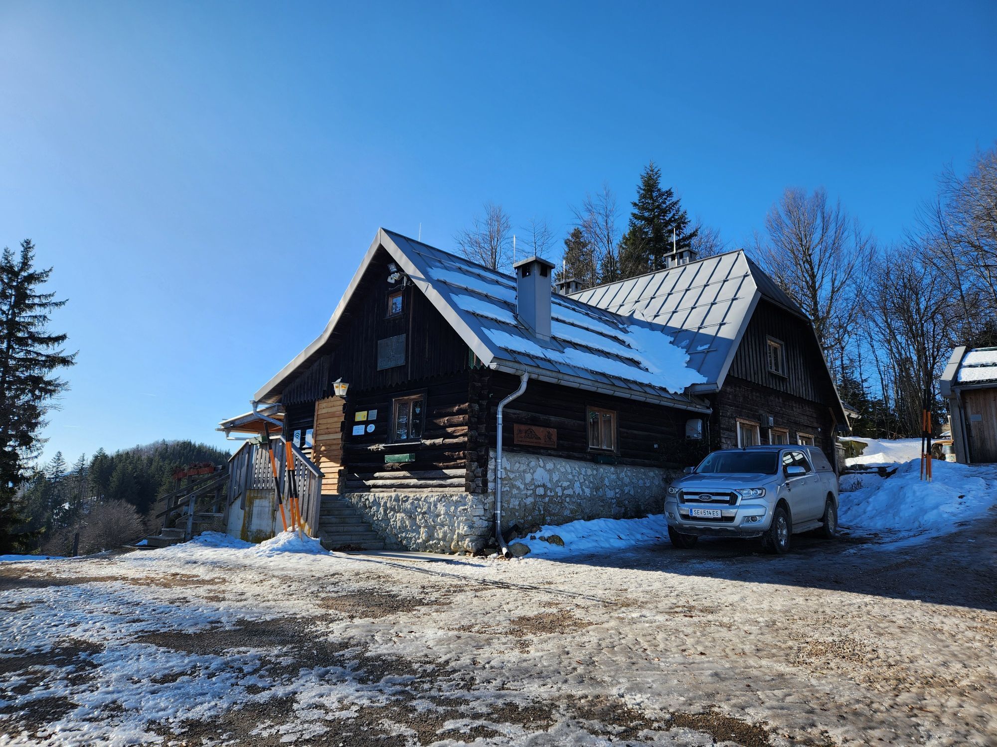
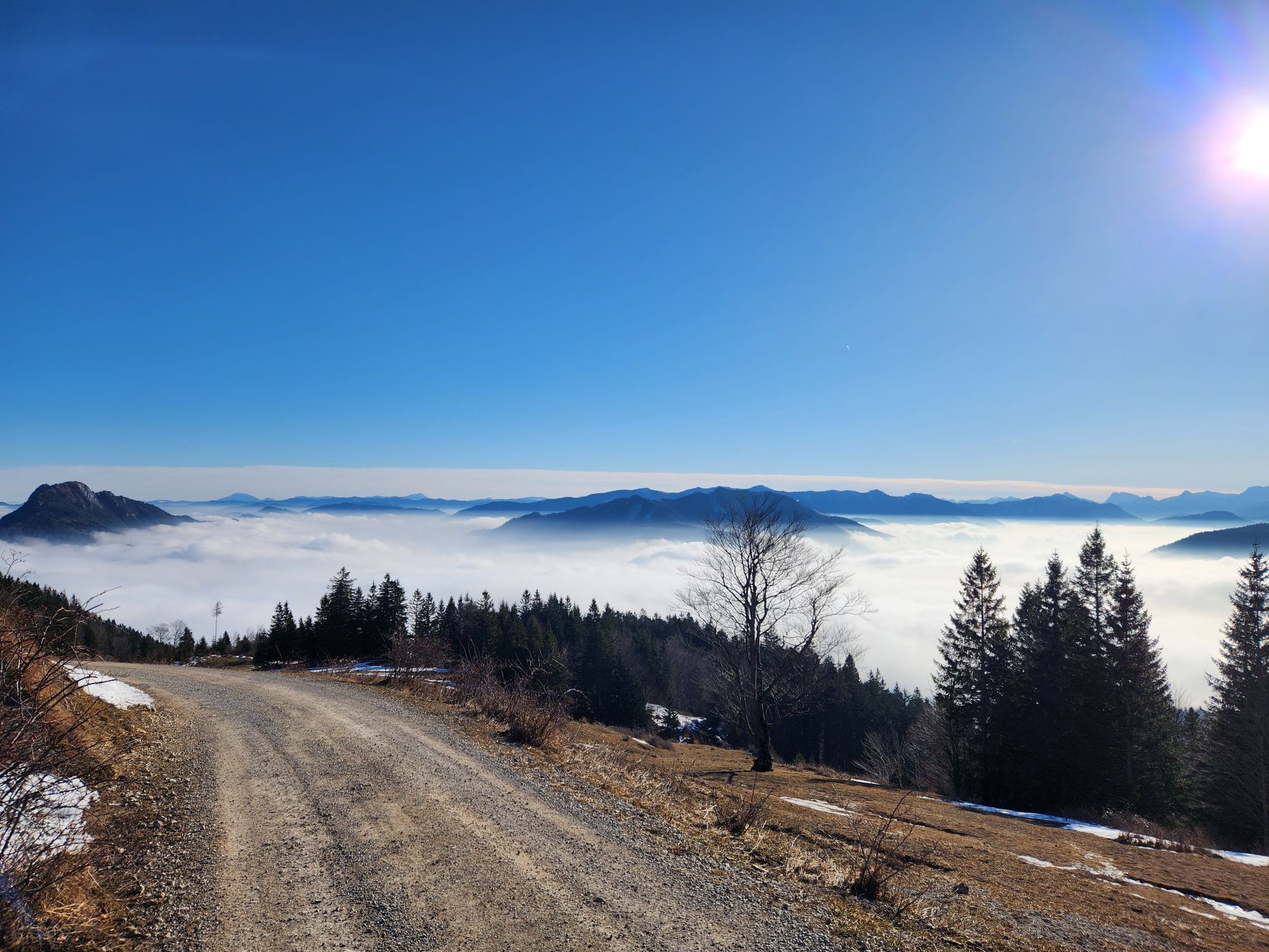
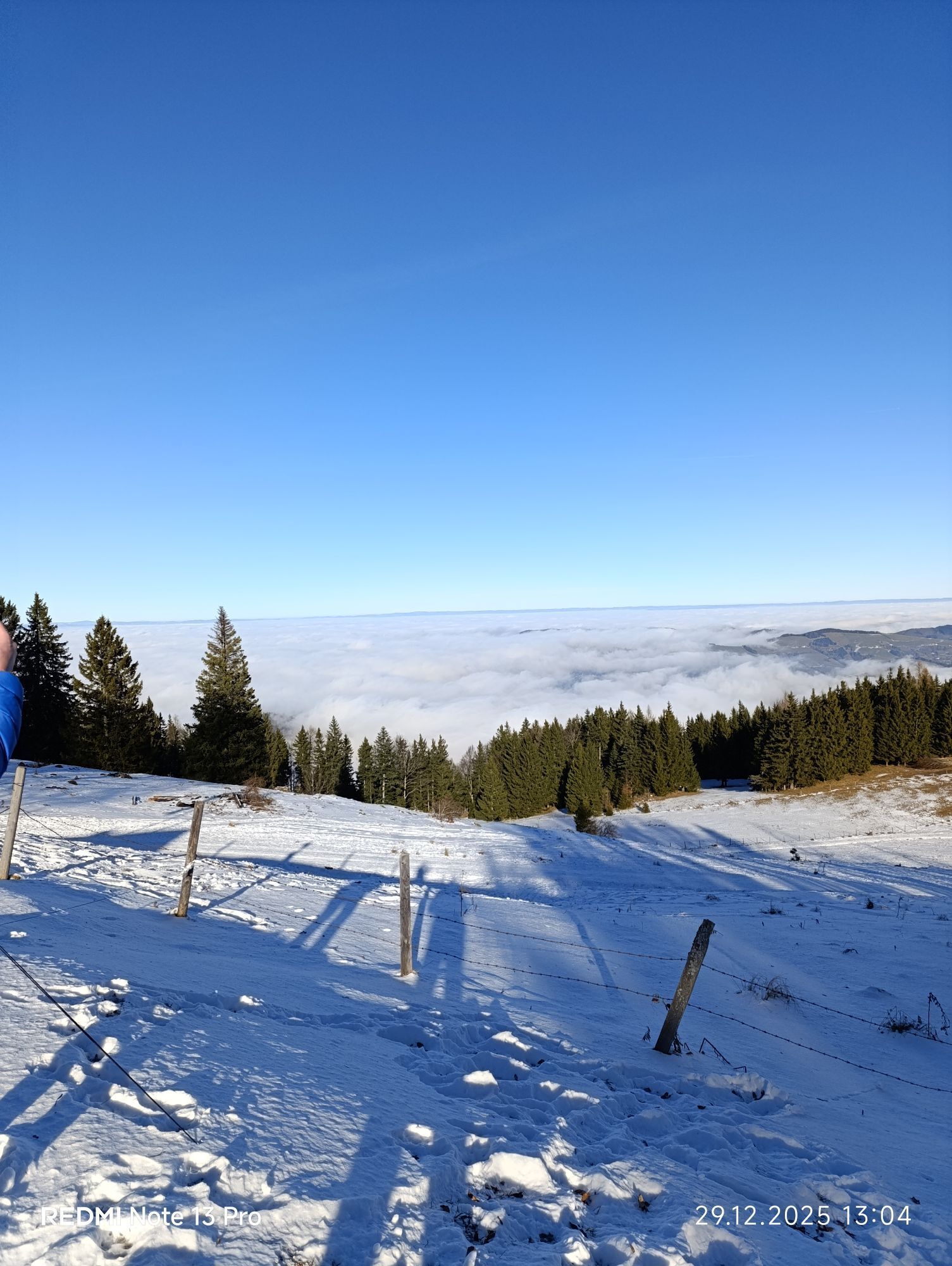
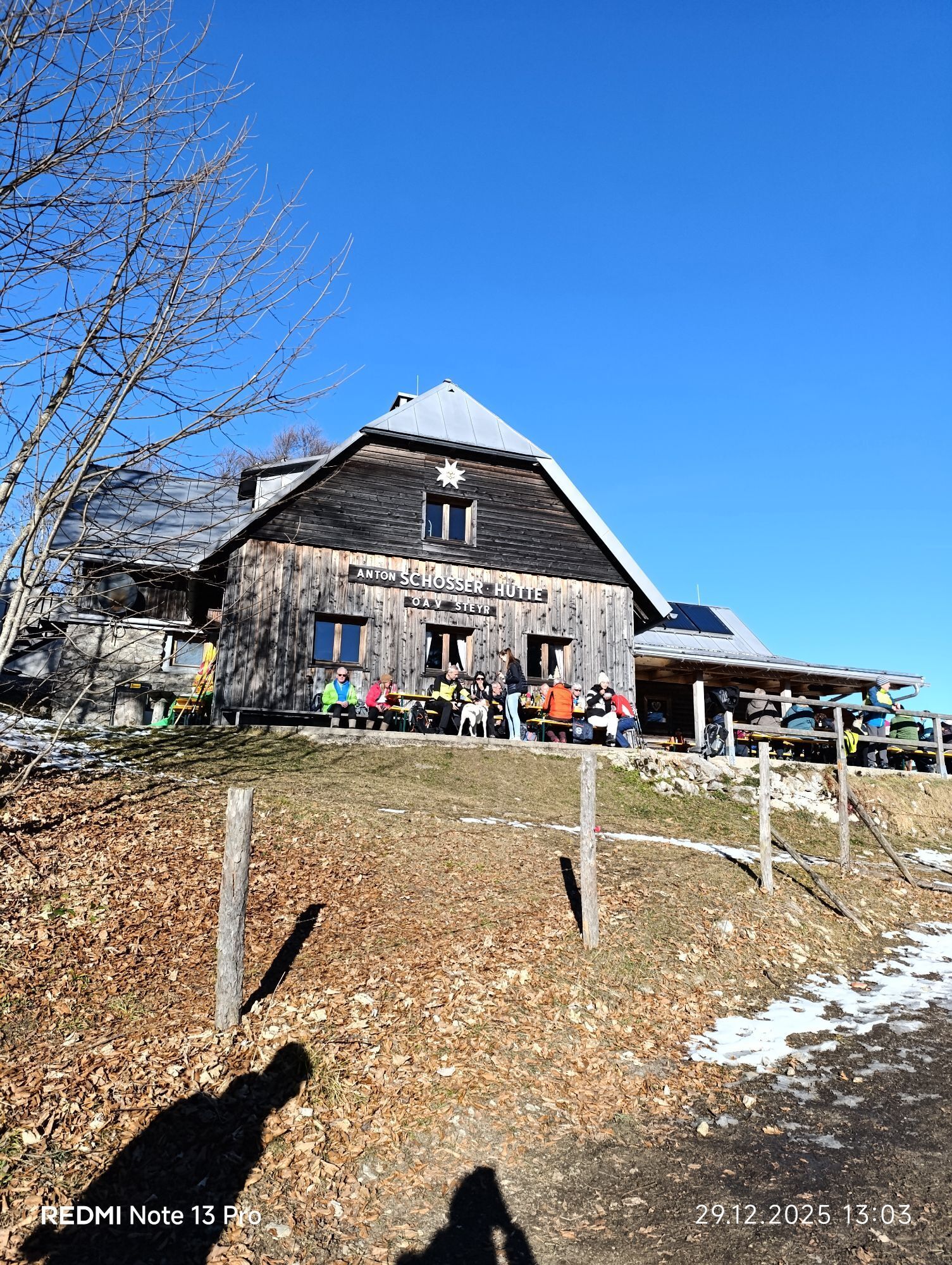

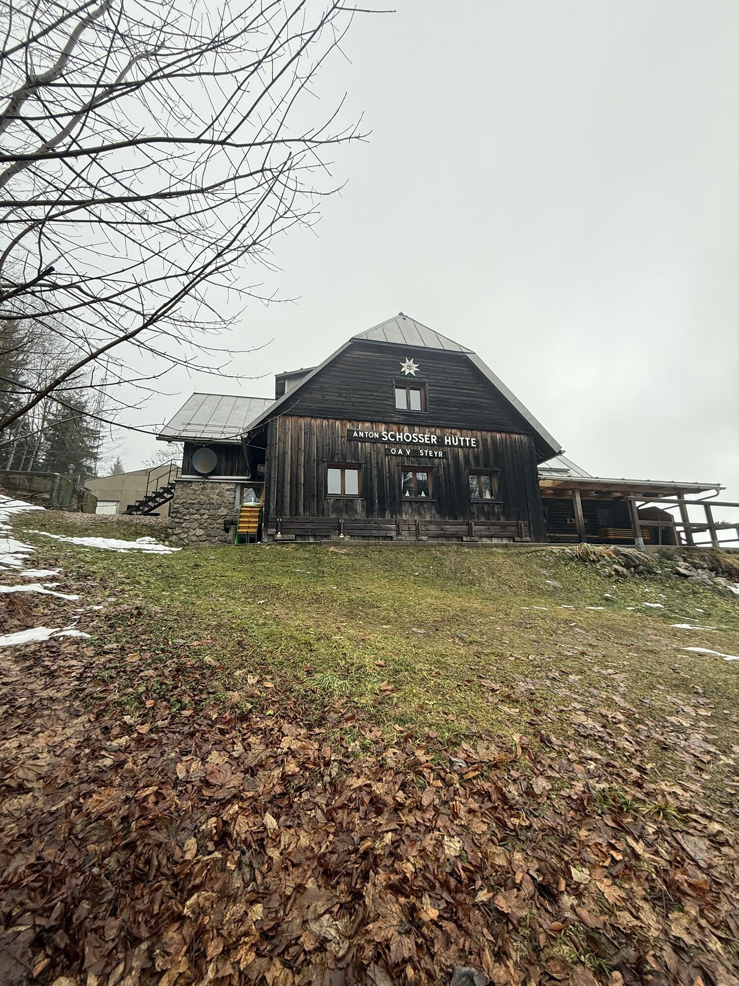

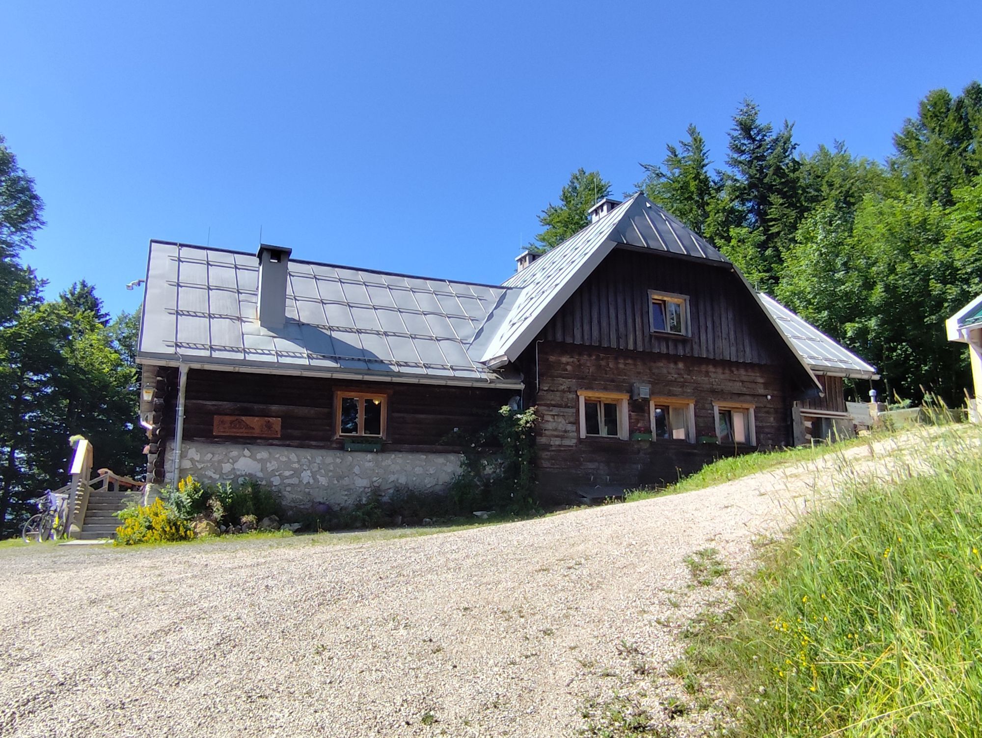
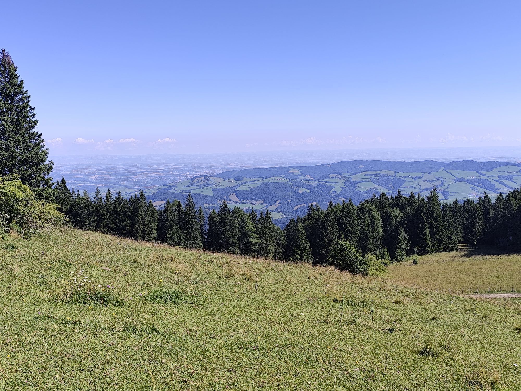
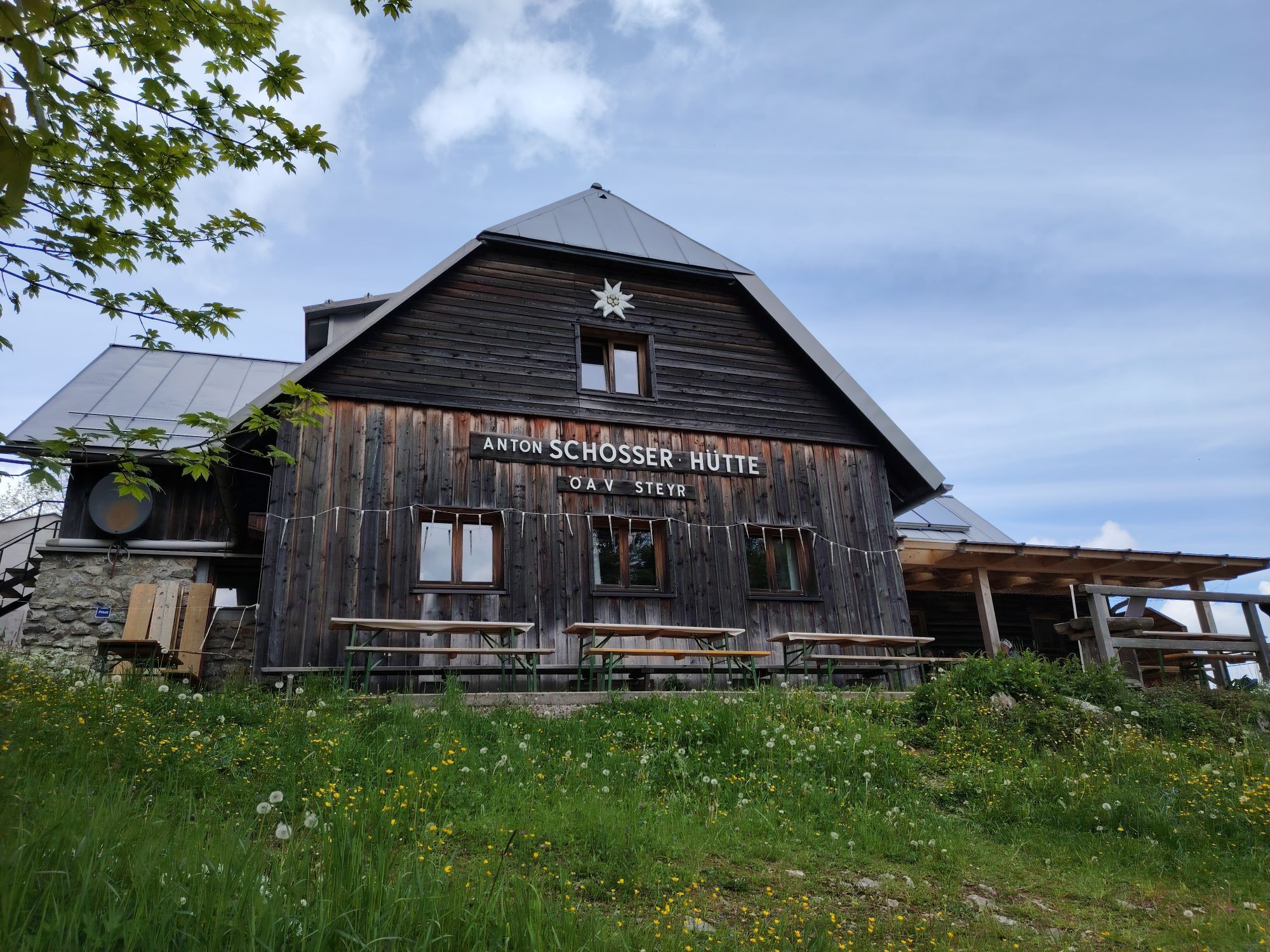
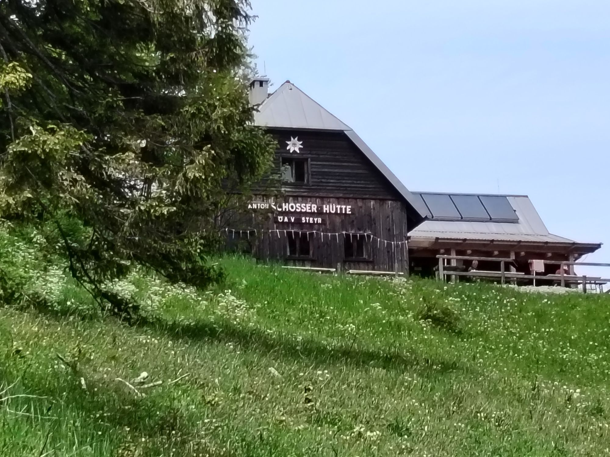
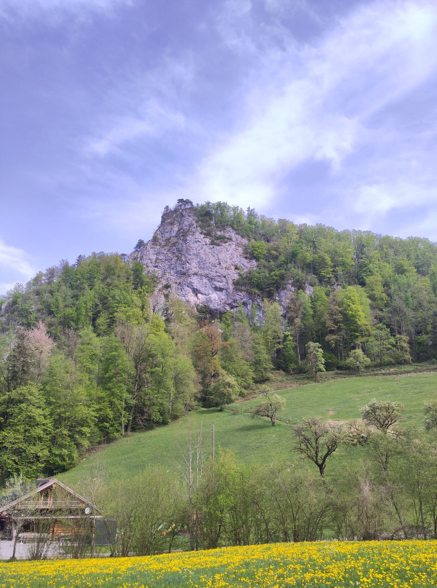
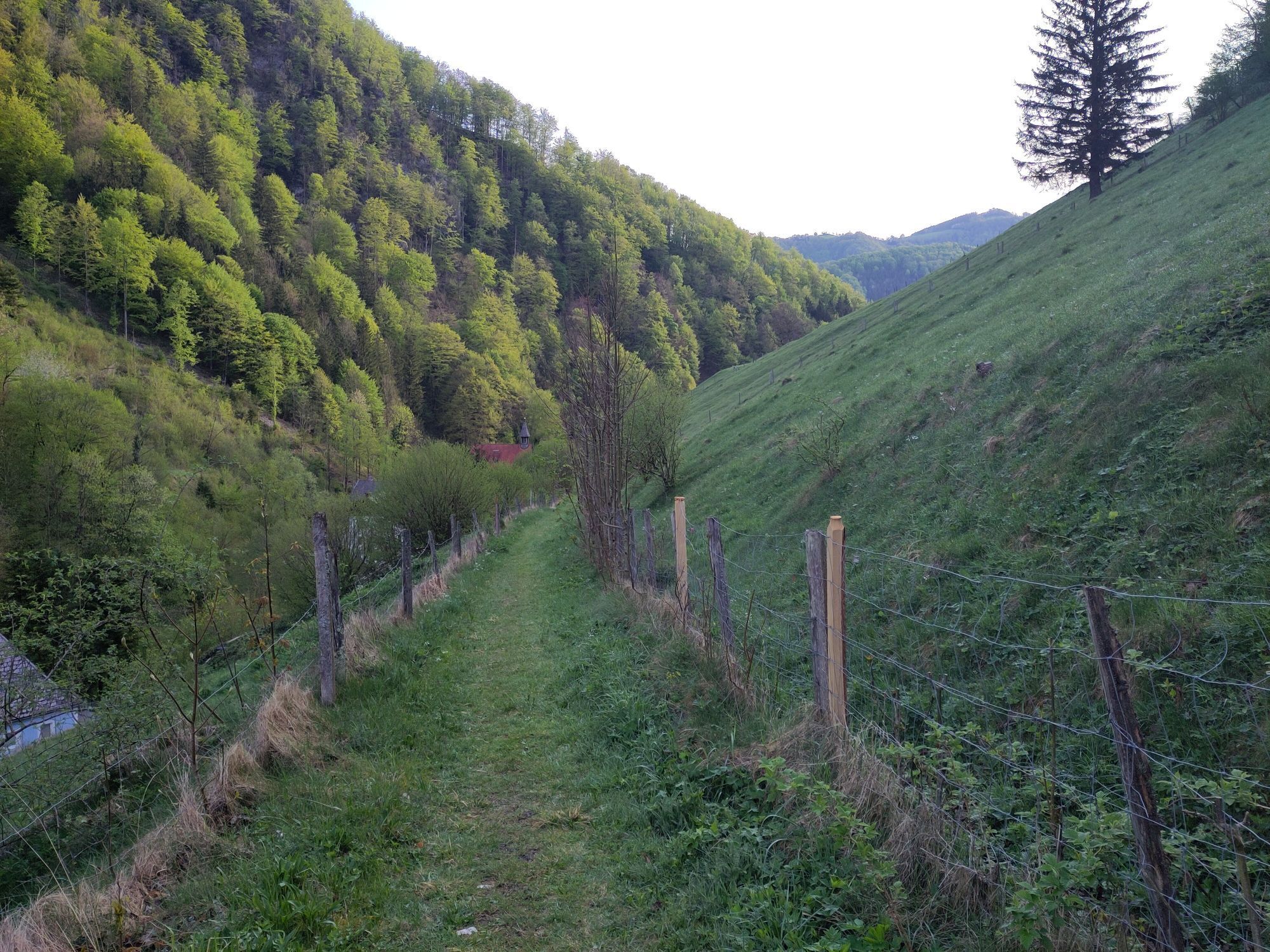
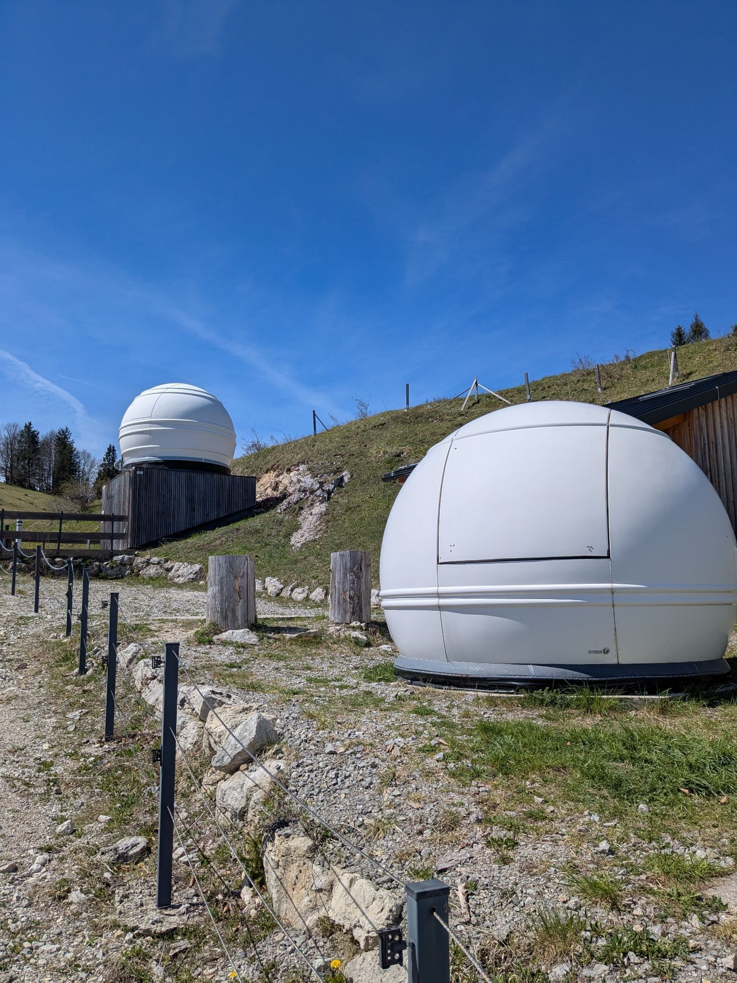
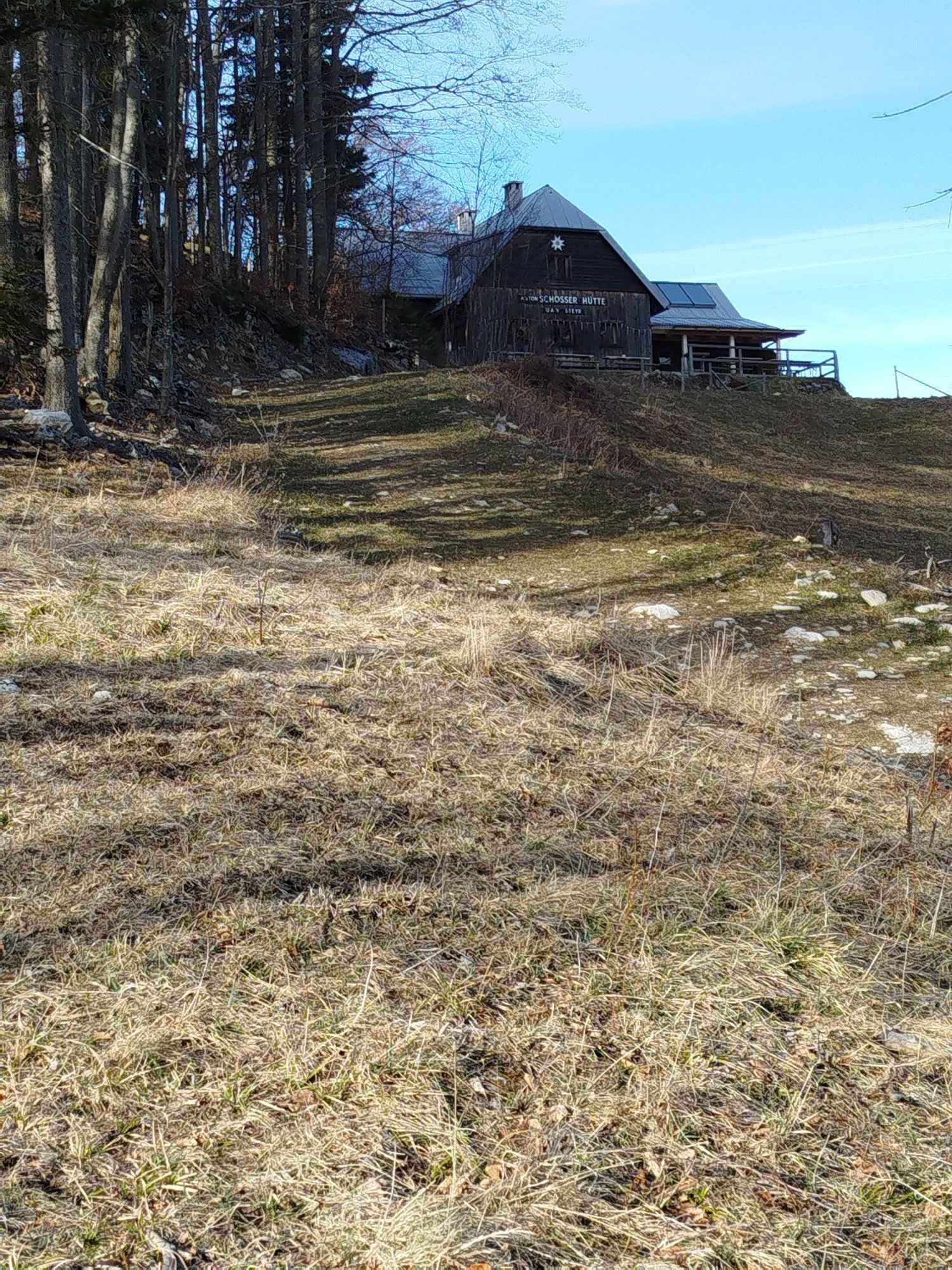
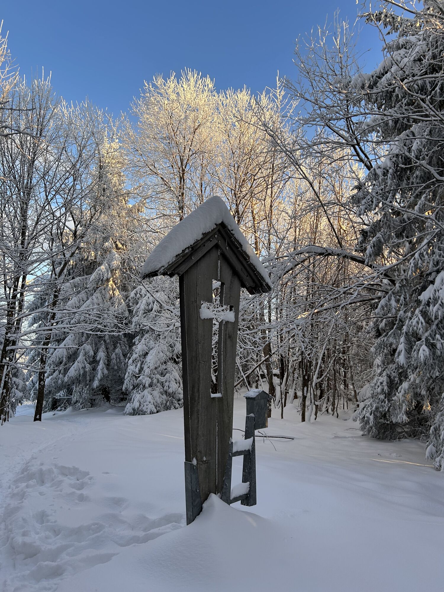
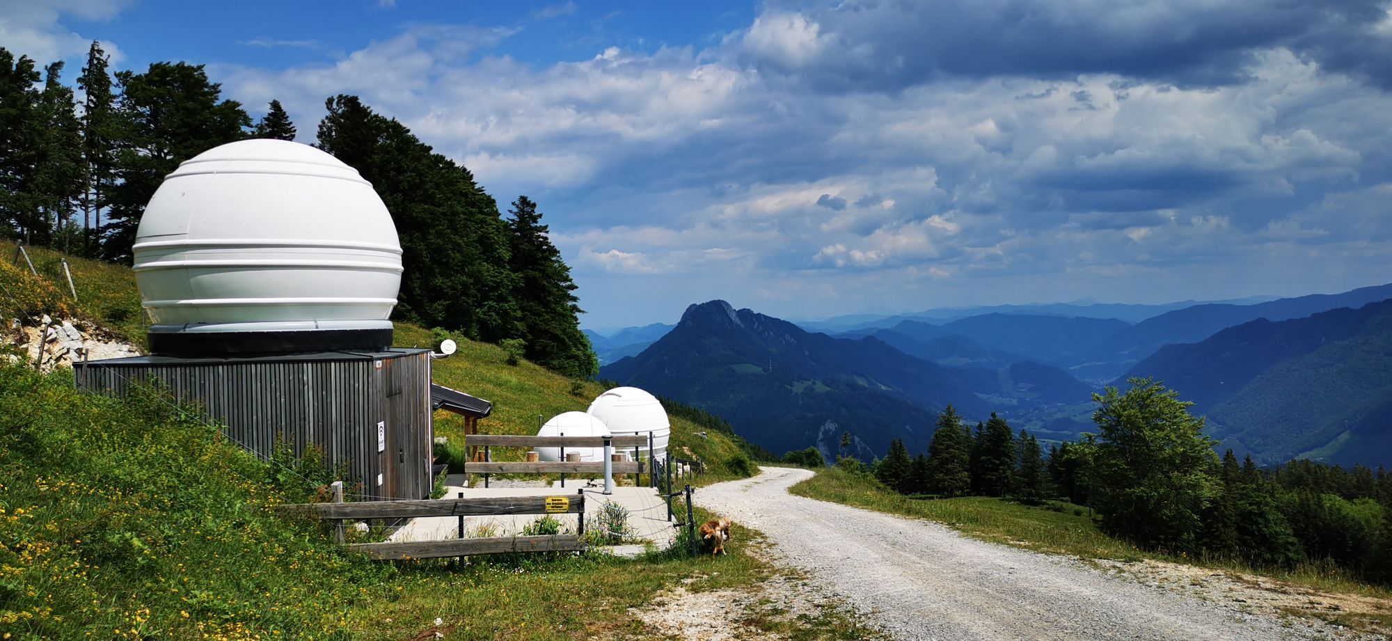
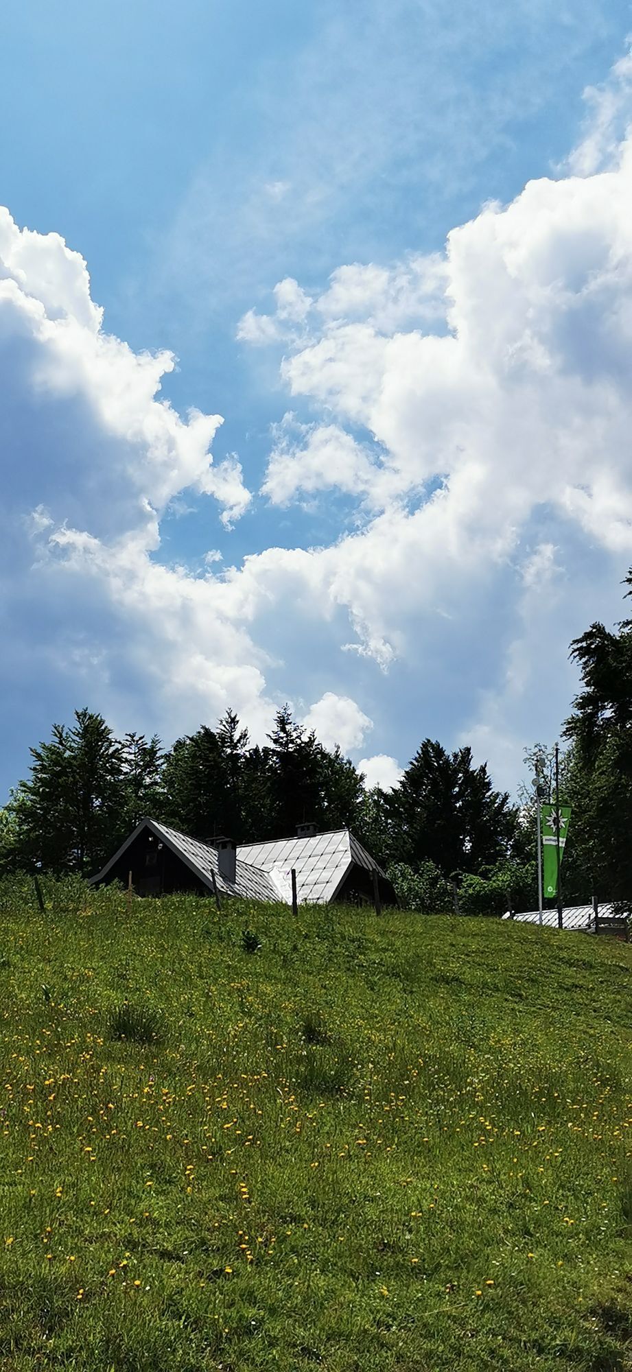
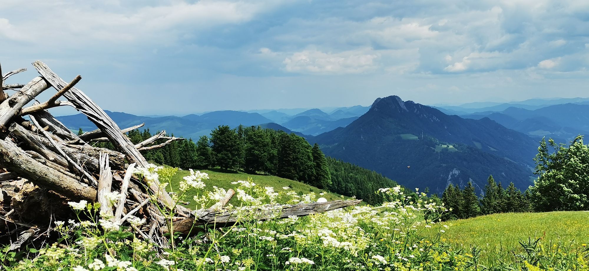
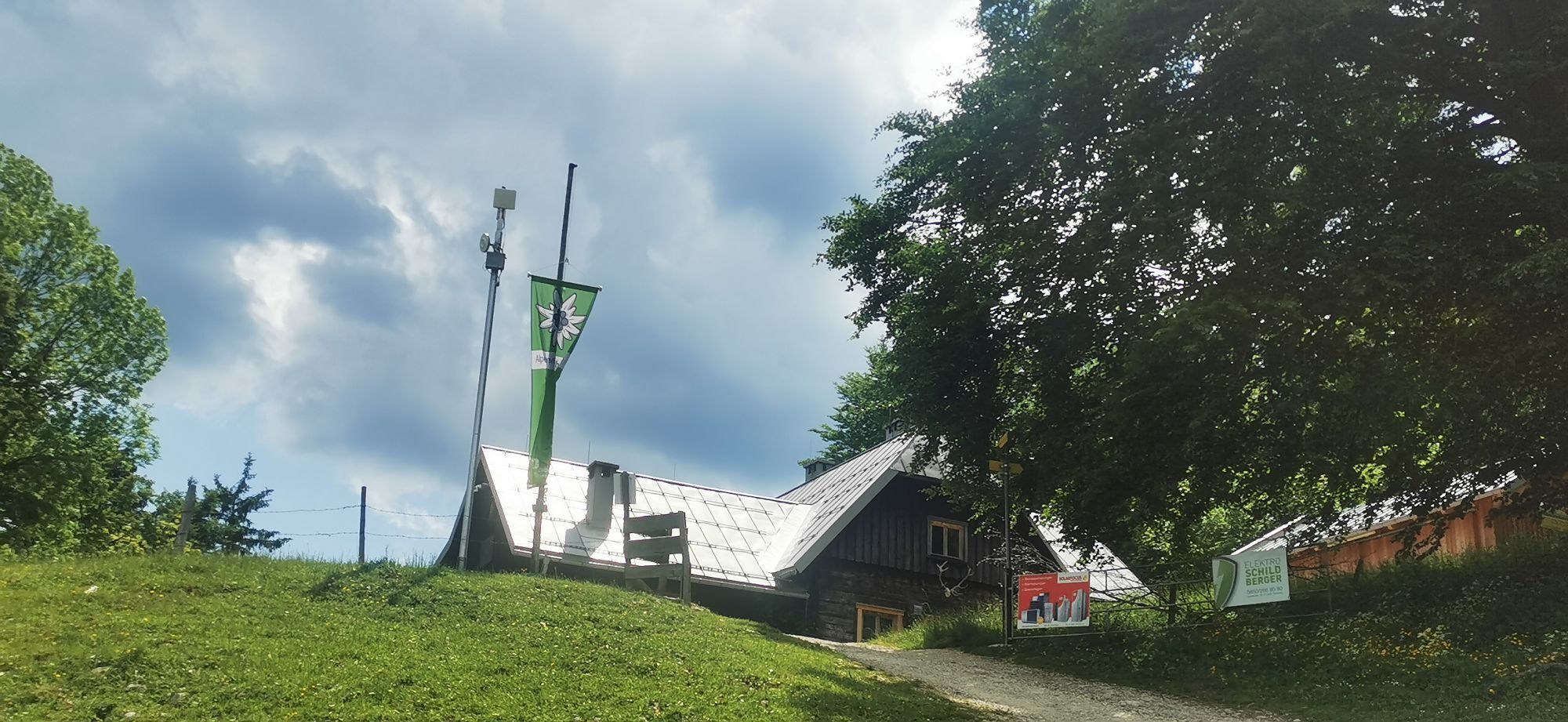


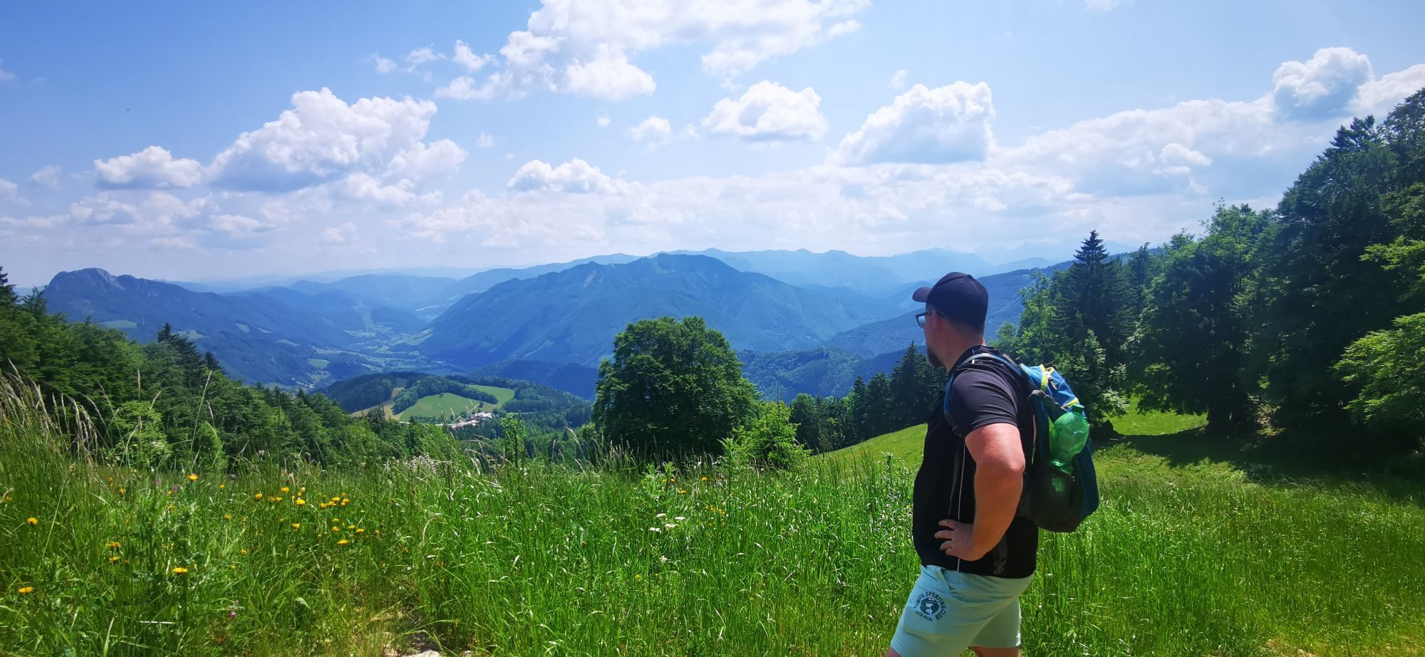
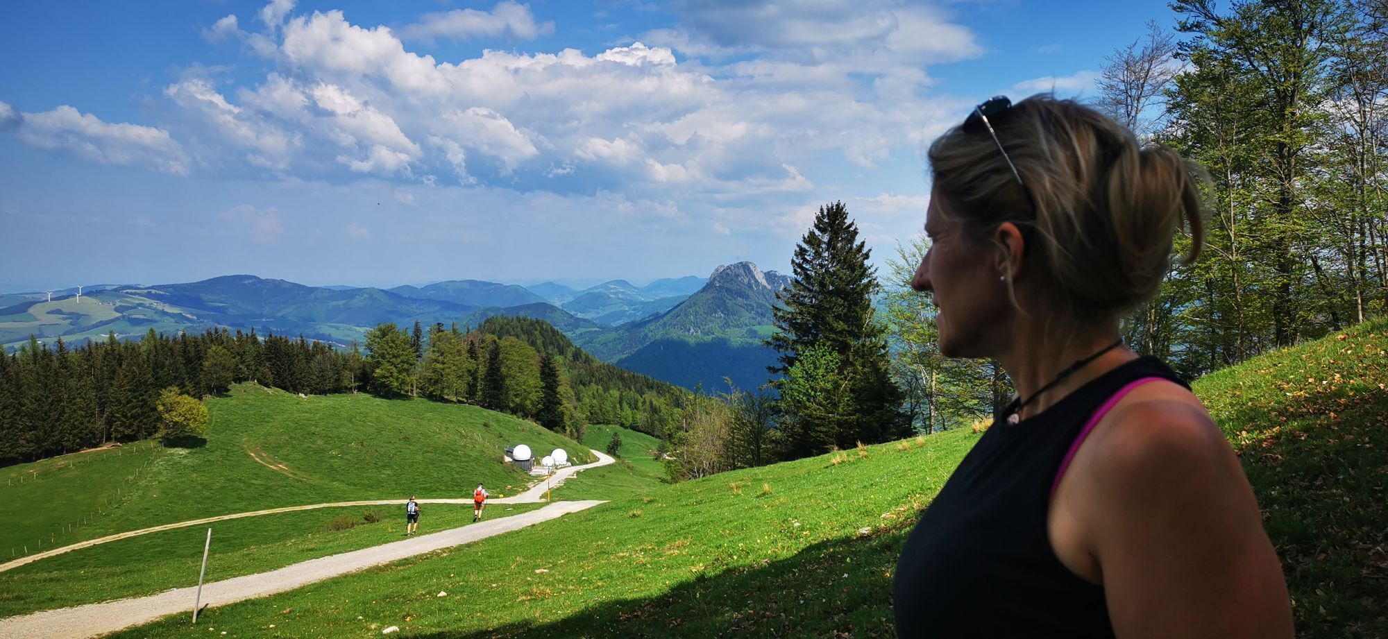

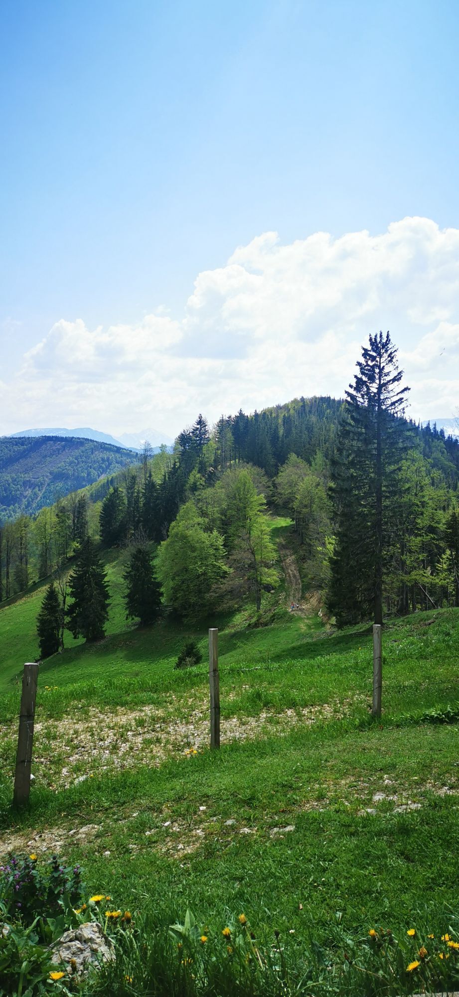


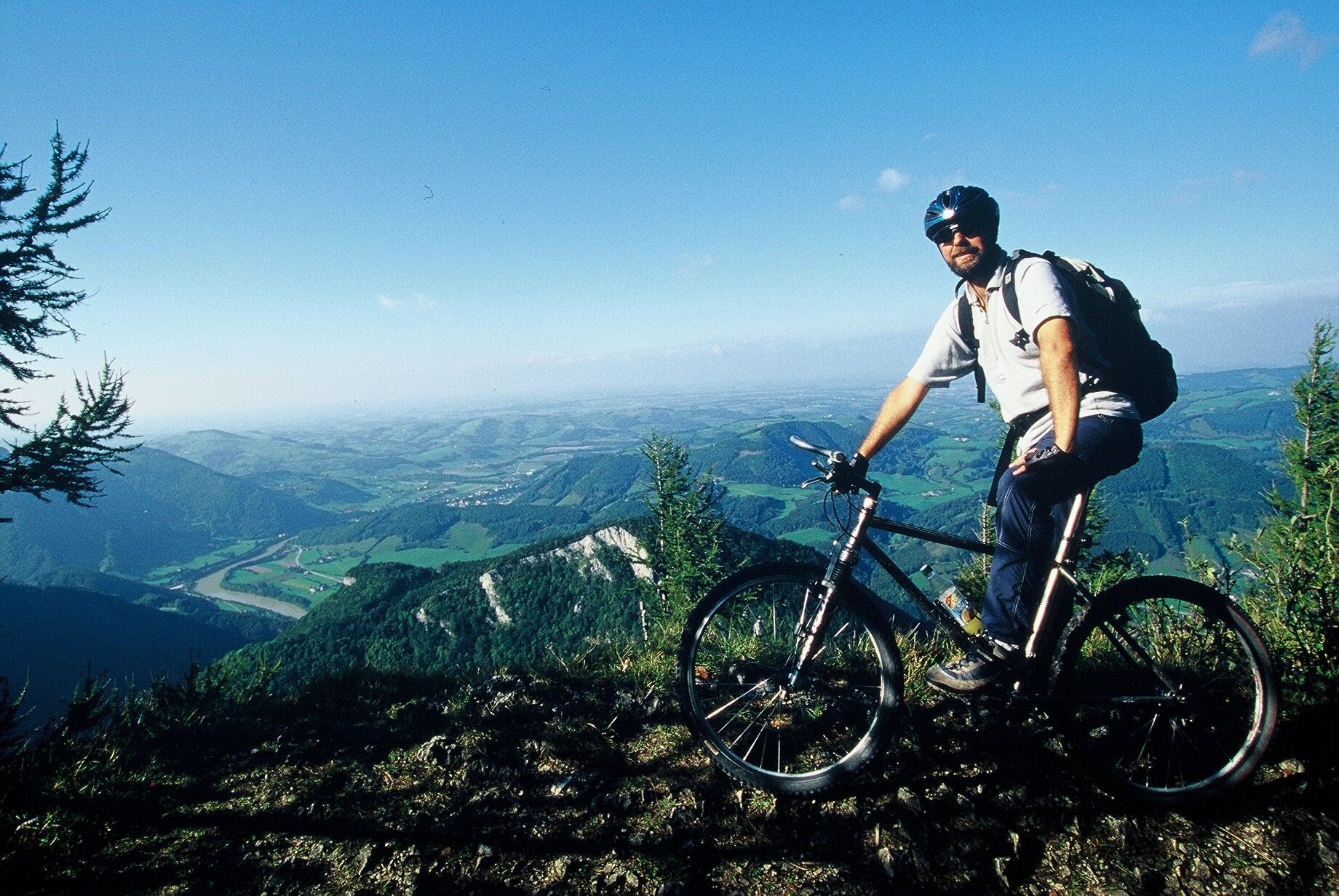
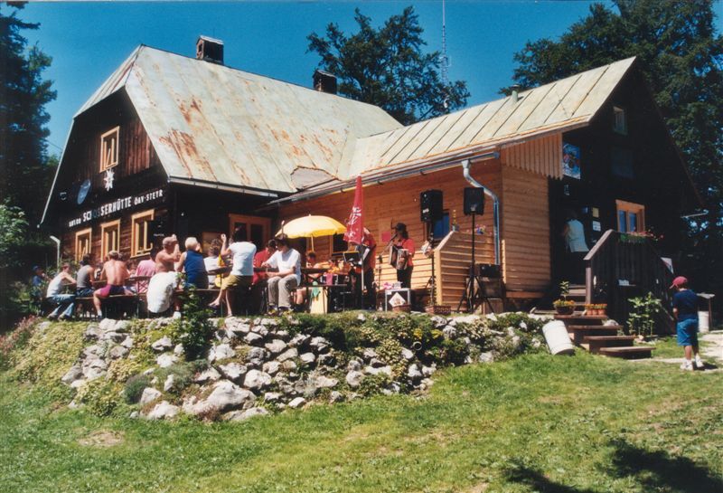
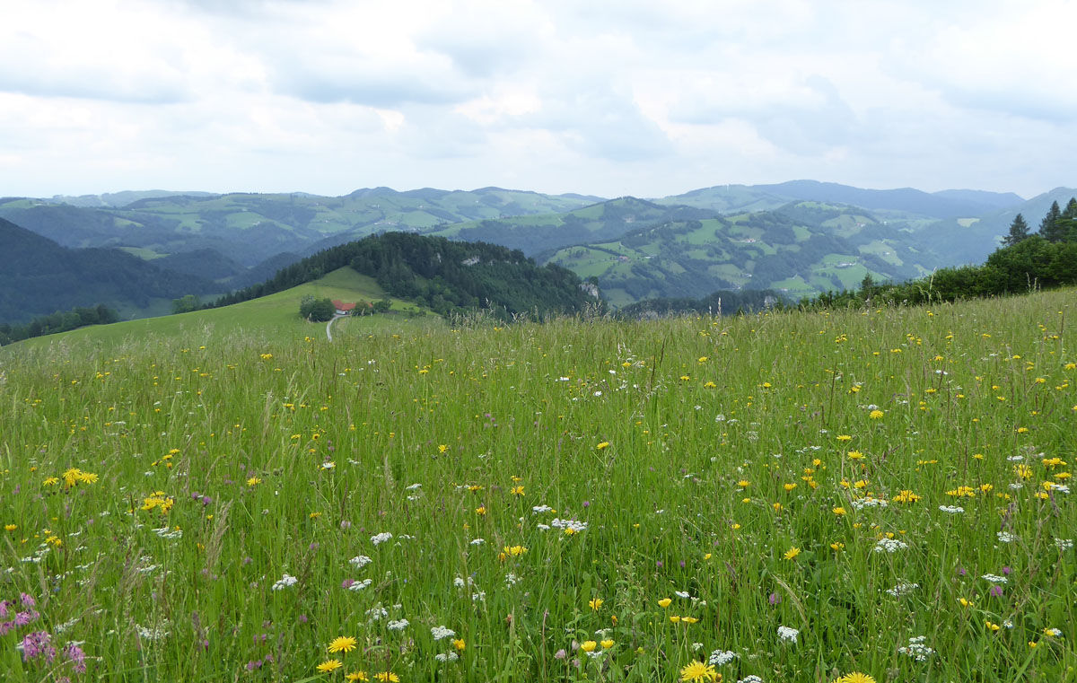

Even higher than the dreamlike view over the Lower Enns Valley is, for some, the snack break at the Anton Schosser Hut, and therefore this traditional mountain hut is also 24 meters higher: After the joint-straining overcoming of a root-strewn tractor path including a gate hurdle, a devilishly steep gravel road section awaits before the calorie replenishment. Apart from this section, which must be overcome a second time on the return, the forest highways around the Enns mountain pose no particular obstacles to the tires, and so you can comfortably descend to Trattenbach after crossing the “Möser”.
Tak
Tak
Remember sun and rain protection!
Inform yourself in advance about any path or road closures!
By train to Trattenbach station
Current maps are available at: www.steyr-nationalpark.at
Kamery internetowe z trasy



Popularne wycieczki w okolicy
- 4,9
Ennser Hut - Almkogel (from Bamacher car park)
średniWędrówka 3,53 km - 4,7
Grünburger Hut via Dorngraben Molln
średniWędrówka 3,43 km - 4,6
Schoberstein (from Molln)
średniWędrówka 3,63 km - 4,9
Dambergwarte
światłoWędrówka 3,28 km - 4,8
Steinerner Jäger (1185m) und Schieferstein (1206m) ab Parkplatz Hochhabichler
średniWędrówka 4,46 km - 4,7
Steinerner Jäger (1185m) und Schieferstein (1206m) ab Parkplatz Hack
ciężkiWędrówka 8,58 km - 4,7
Kleiner und Großer Landsberg (3.7.2019) mit Sonnenuntergang
średniWędrówka 3,51 km - 4,6
Dürres Eck - Gaisberg - Hochbuchberg
średniWędrówka 11,2 km - 4,5
Rinnende Mauer - Gorge Trail
średniWędrówka 7,20 km - 4,4
Kleine Gipfelrunde Glasenberg
światłoWędrówka 4,99 km
Wędrówki i tropienie


Nie przegap ofert i inspiracji na następne wakacje
Twój adres e-mail została dodana do listy mailingowej.





