







S202 Goiserer Sonnenseiten Runde
Description:
On the sunny side of the gravel lifestyle in Bad Goisern
From a sporting perspective, the S202 Goiserer Sonnenseiten Runde offers a climb of 630 meters over less than 20 kilometers, with most...
On the sunny side of the gravel lifestyle in Bad Goisern
From a sporting perspective, the S202 Goiserer Sonnenseiten Runde offers a climb of 630 meters over less than 20 kilometers, with most of the ascent completed in the first kilometers.
What will stay with you on the Goiserer Sonnenseiten Runde:
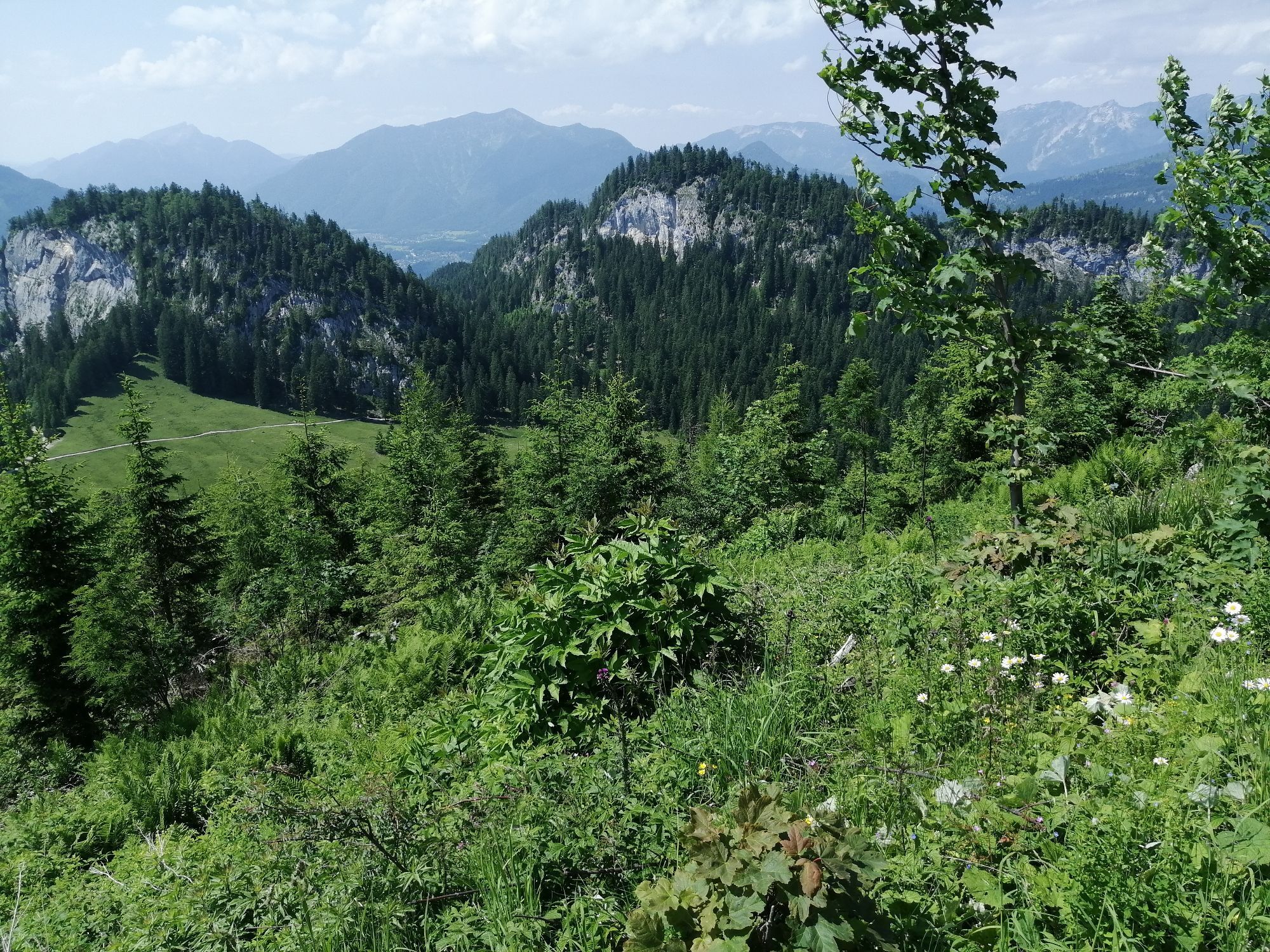
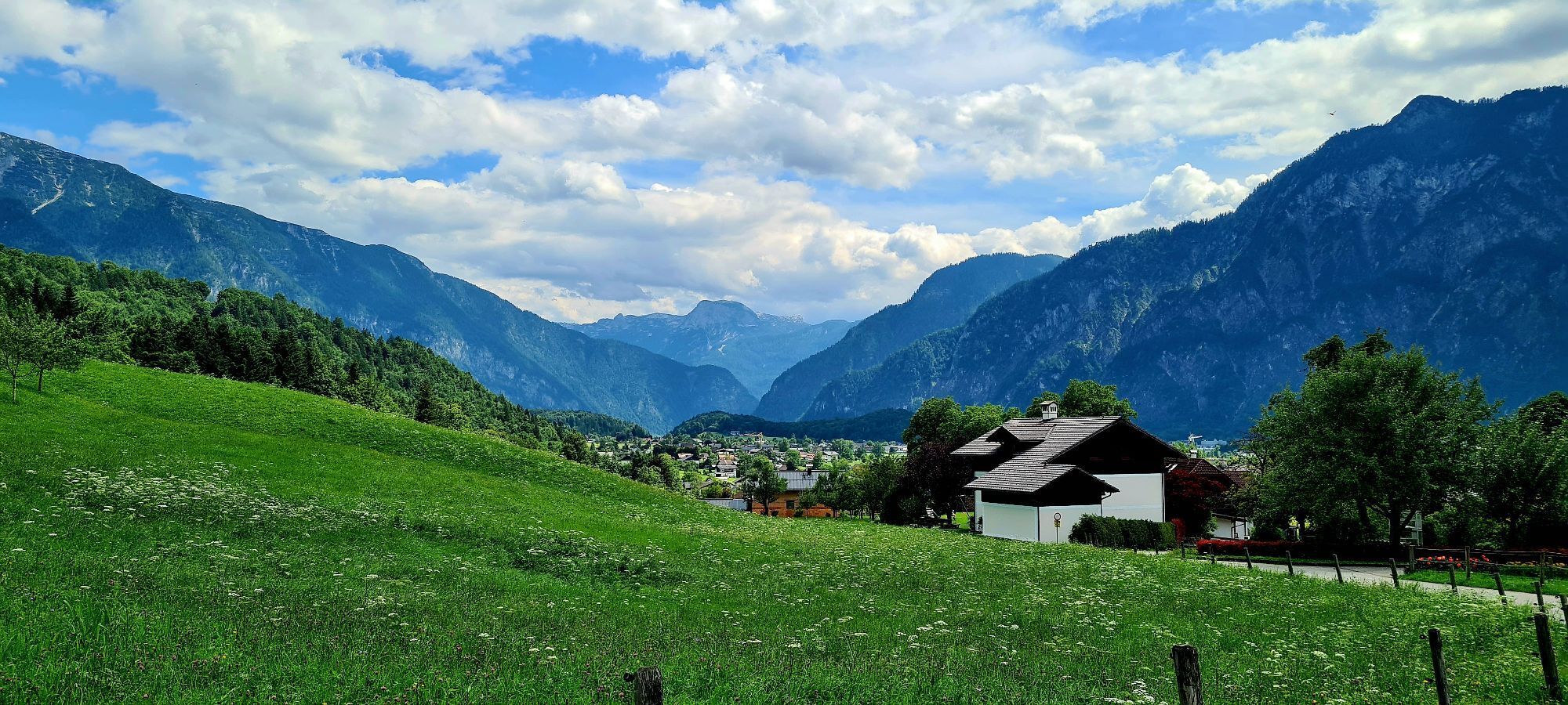
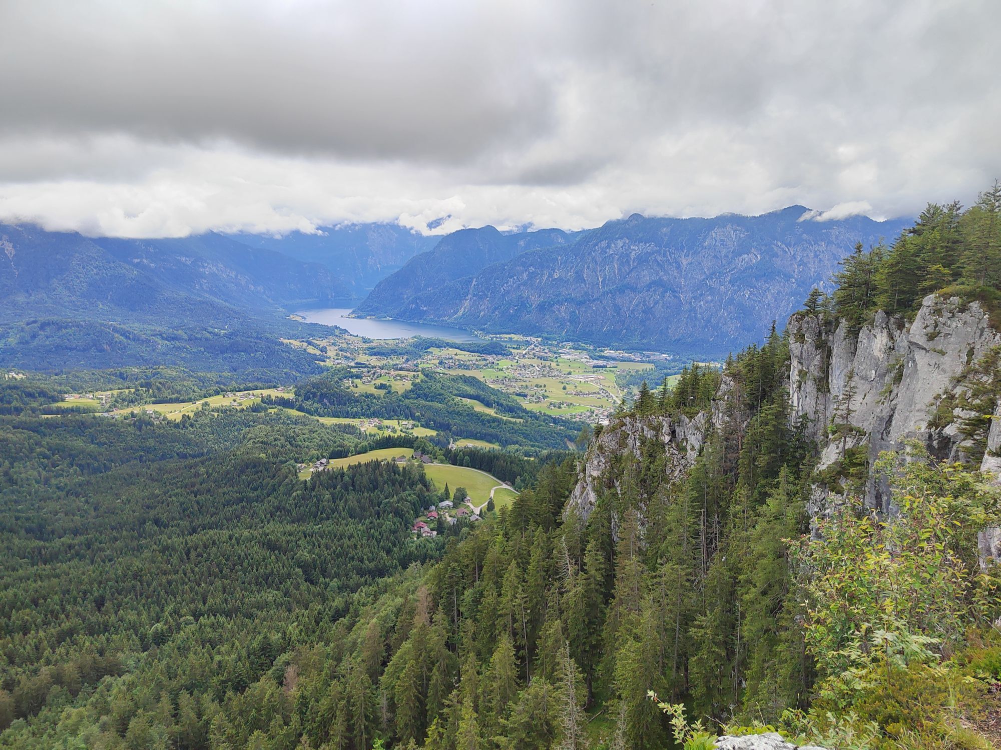
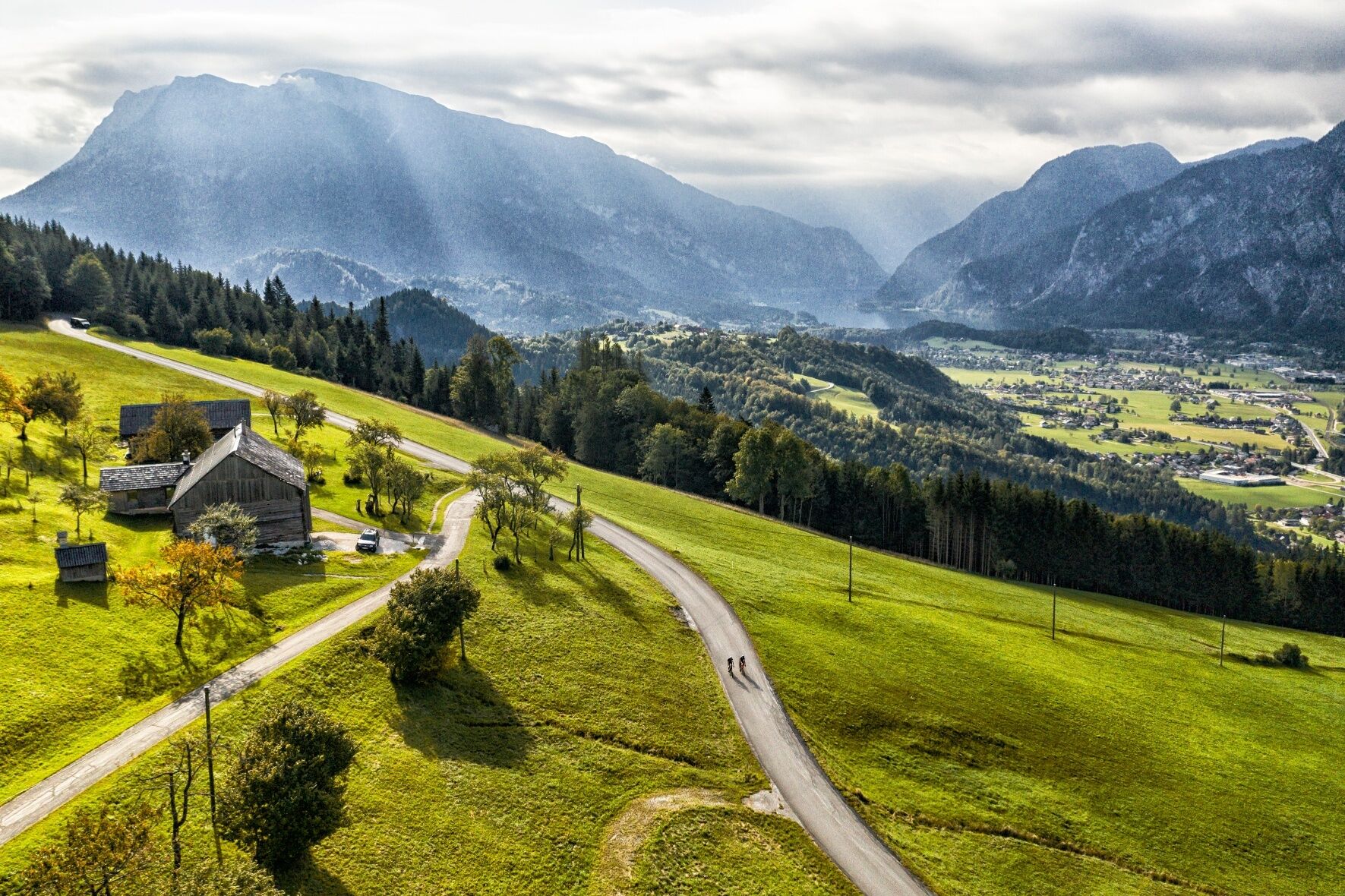
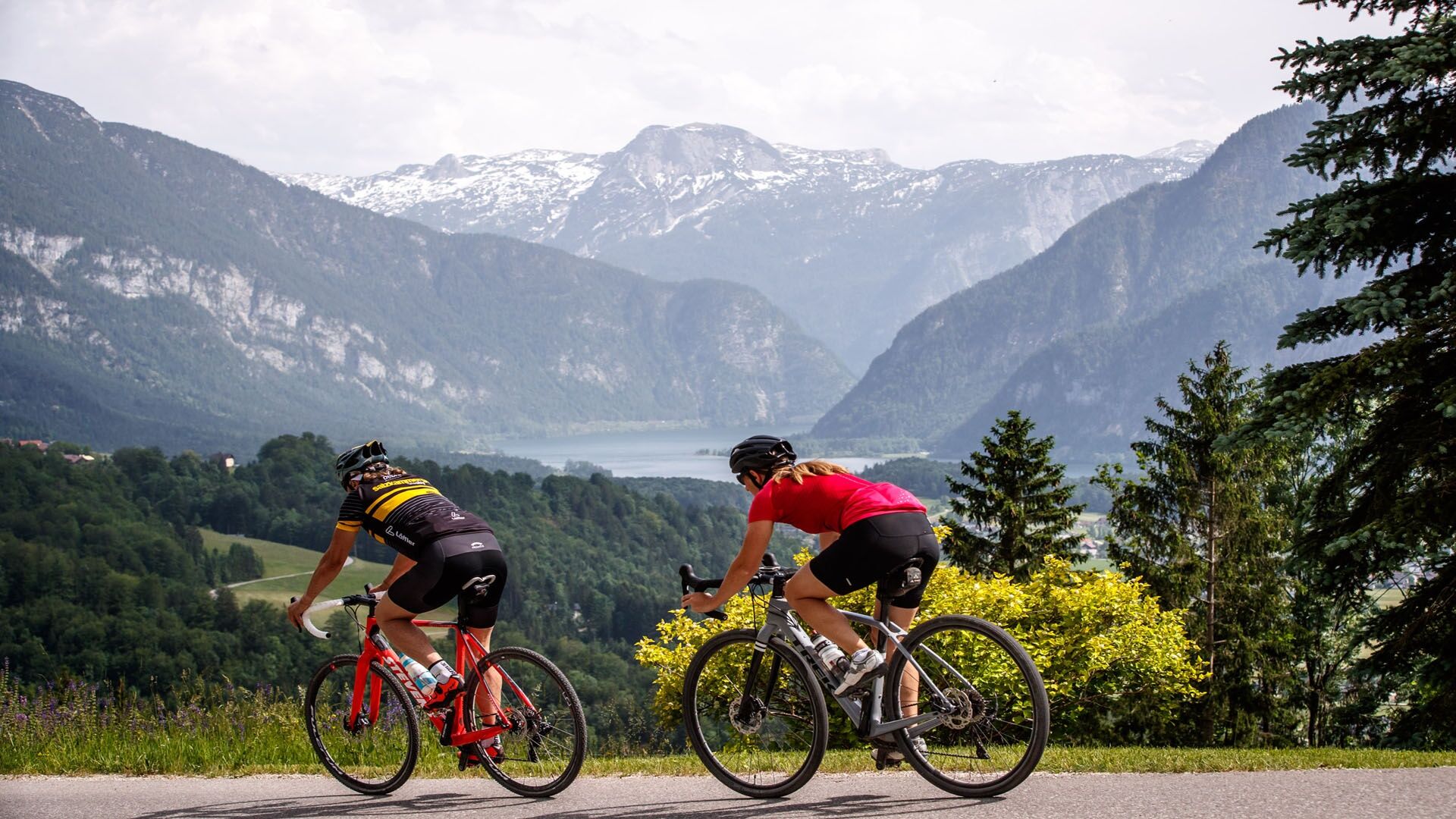
An challenging climb over the Predigstuhl panoramic road with many views of Bad Goisern and Lake Hallstatt
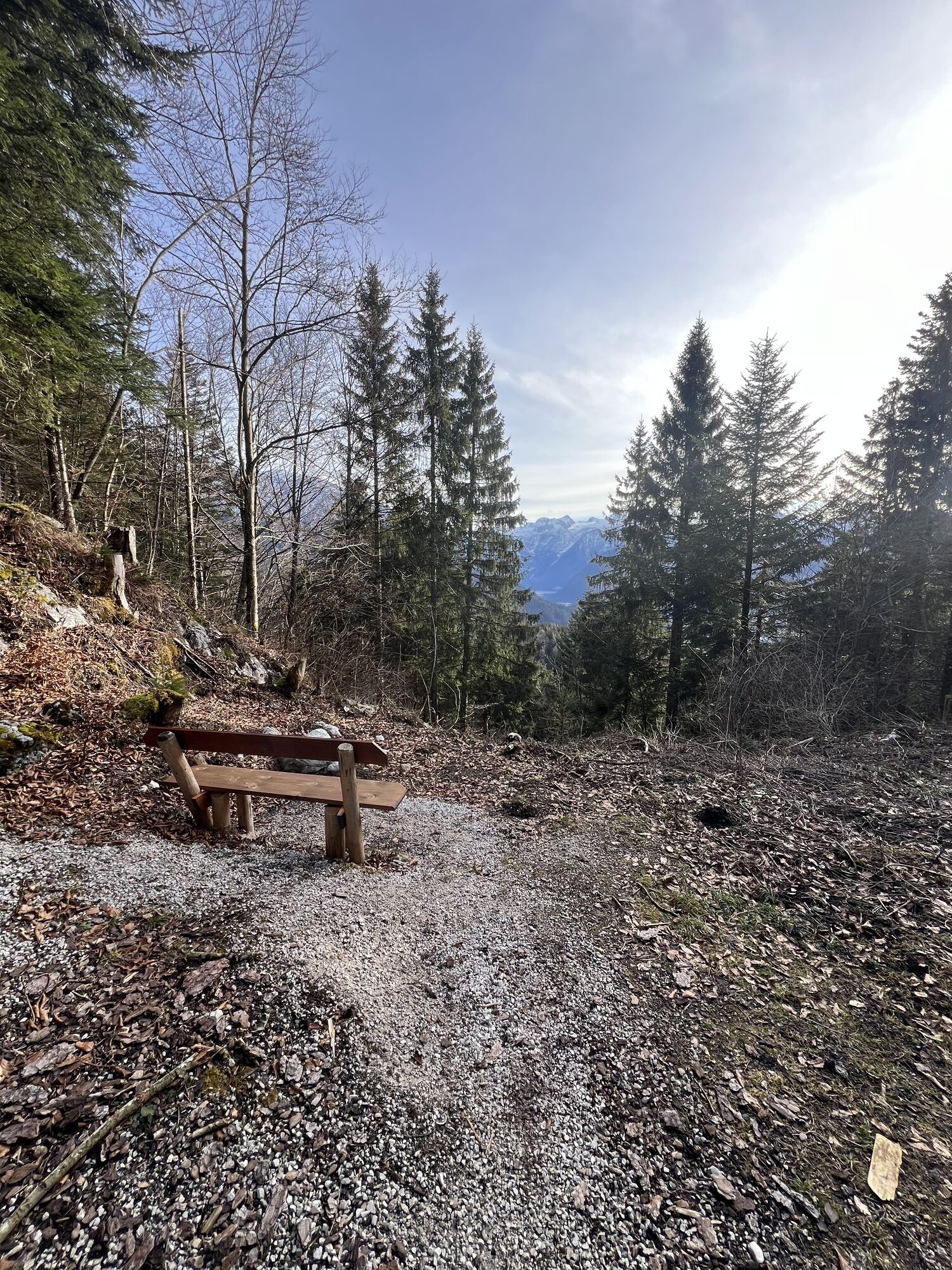
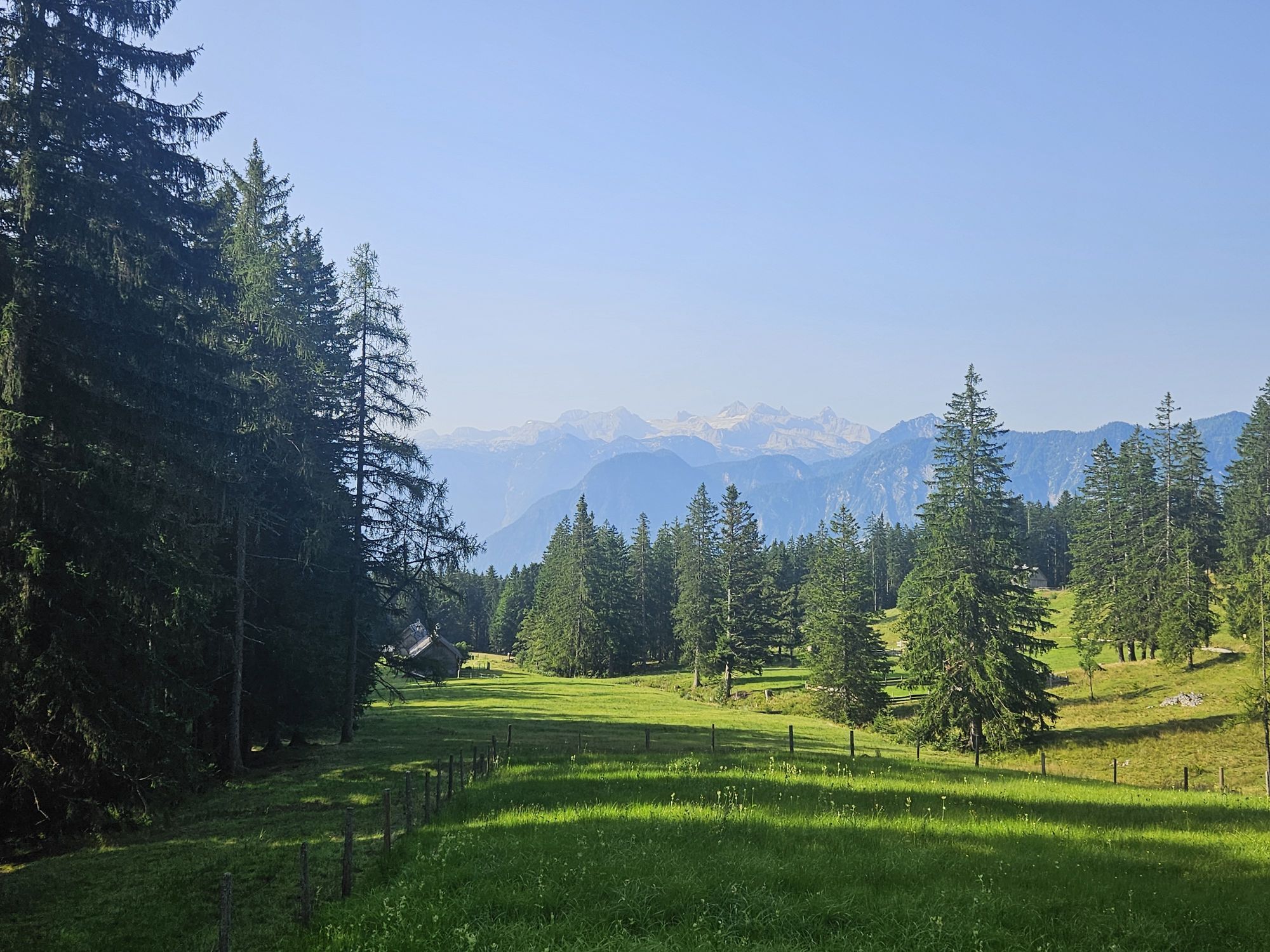
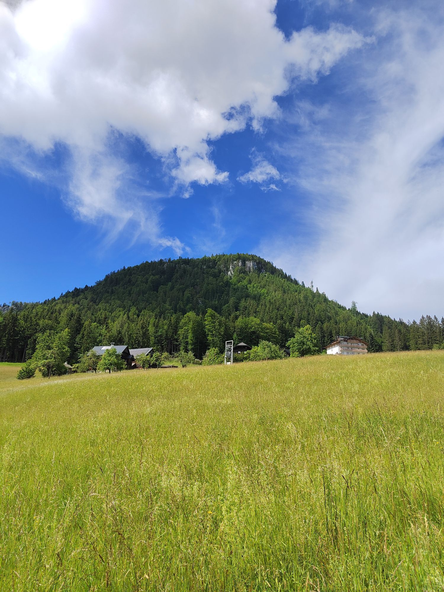
The ride along the contour line in the Predigstuhl area. Here you can expect breathtaking views of the Dachstein
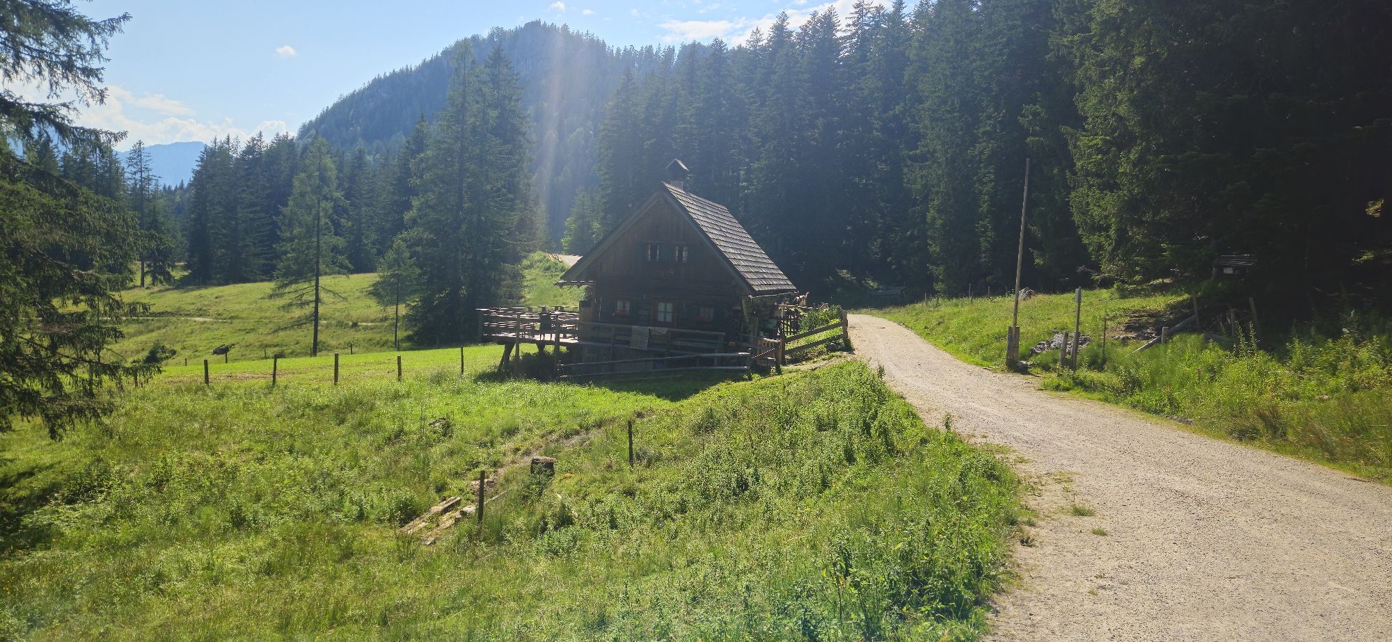
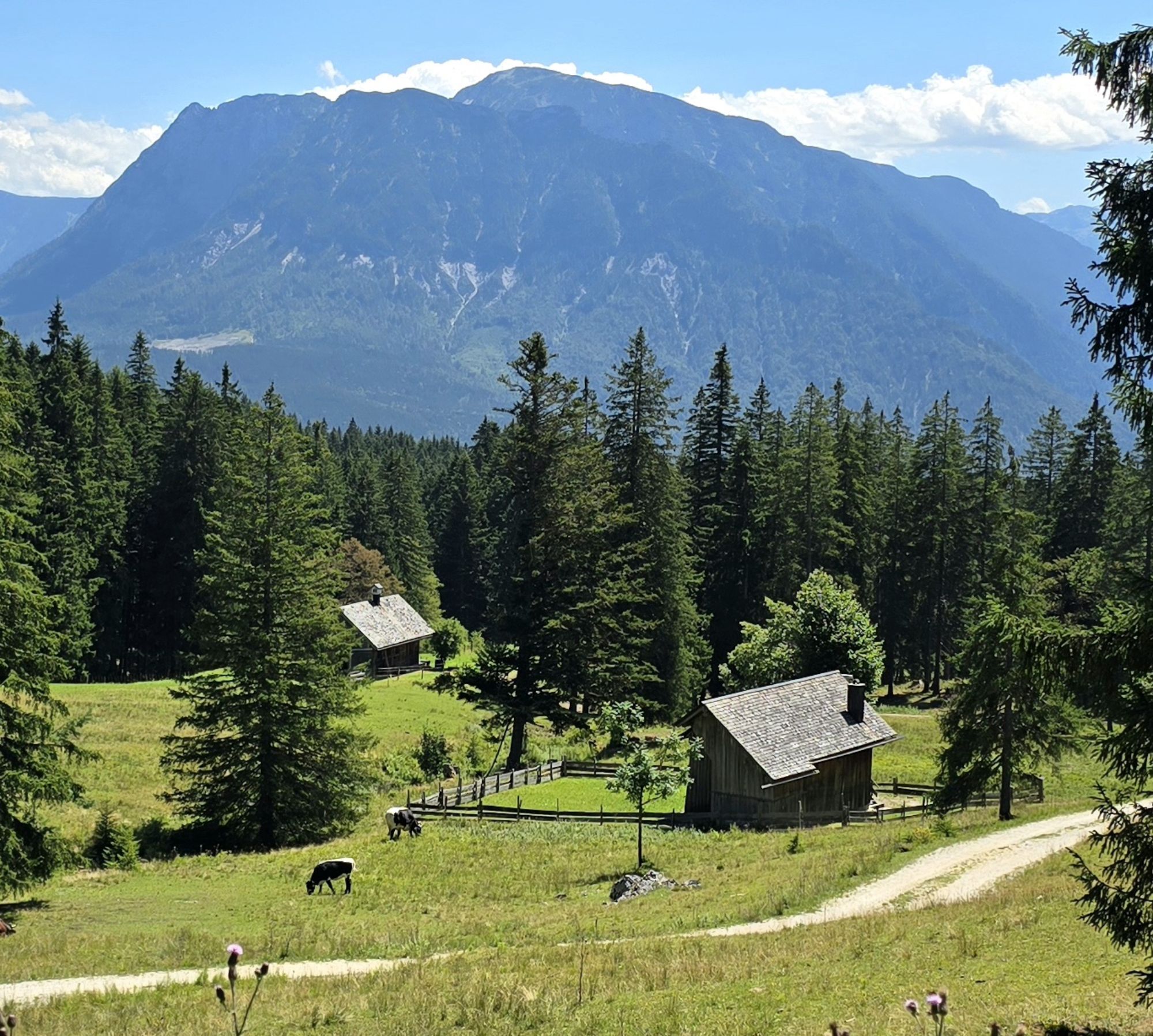
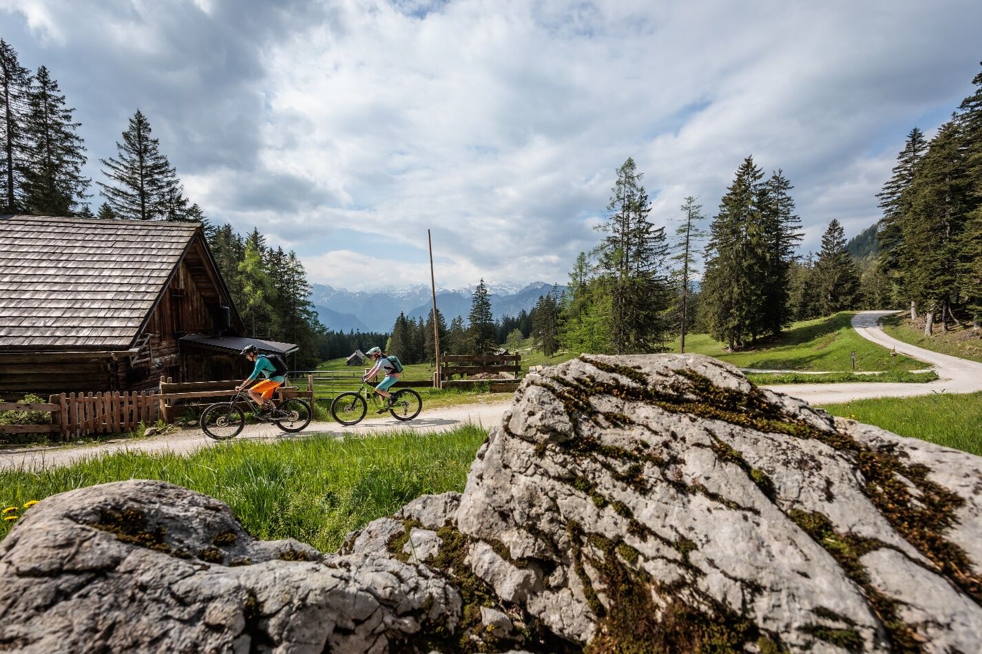
On the forest roads, you pass by the Rossmoosalm, which is occasionally managed; the products from the own agriculture taste even better
A "nightcap" at the well-known bike hotel "Landhotel Agathawirt" is also highly recommended (check daily opening hours)
Directions:
Bad Goisern: Enjoy the sunny ride of Life!
The S202 Goiserer Sonnenseiten Runde is a varied and scenic route for gravel bikes in the Salzkammergut.
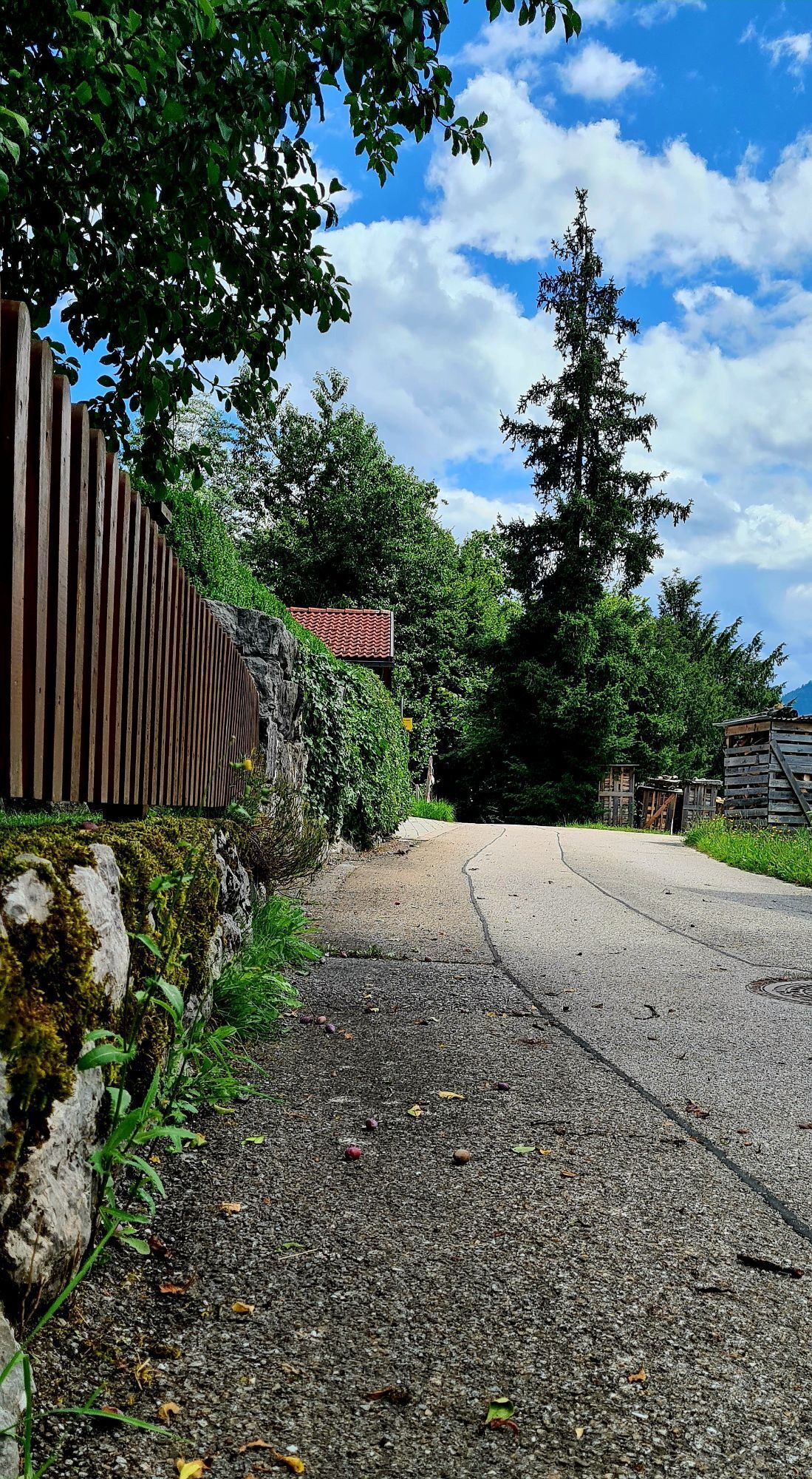
The route starts at the Landhotel Agathawirt, a cozy bike hotel with regional cuisine and a wellness area. The hotel is also a founding member of the famous Dachsteinrunde. From there, you follow the bike path along the federal highway towards Stambach. Upon reaching an underpass, you turn into a residential area and follow the road to the district of Wiesen, which leads up to the panoramic road offering a wonderful view of the Dachstein massif.
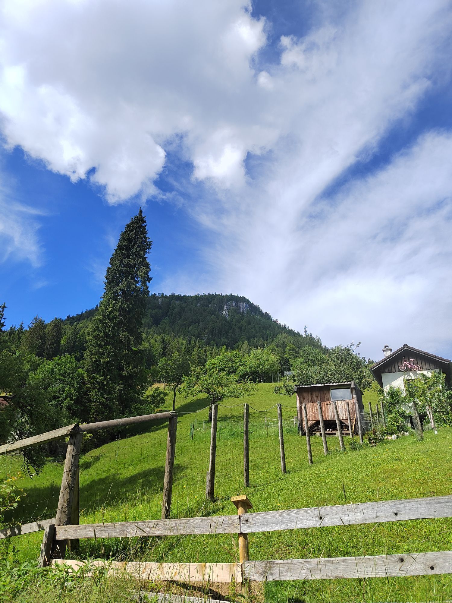
The panoramic road is a narrow and winding road that snakes through the forest and over meadows. Along the panoramic road, especially while climbing, you have plenty of time to admire the architecture of the Salzkammergut through the farms and residential houses. Along the way, there is also an enclosure with red deer. Please do not feed the animals! Instead, you can reward yourself with a detour to the Rathlucken Hut and the Ewige Wand. You can make this detour if you only visit the region once. Otherwise, many other routes almost always pass this dream spot and the great hut, and you can visit these two highlights at a later time. The route continues to the Predigstuhl parking lot, a popular viewpoint. Here, you also pass the Lesehotel Predigstuhl. Now you leave the asphalt road and take the left forest road leading to the Rossmoosalm.
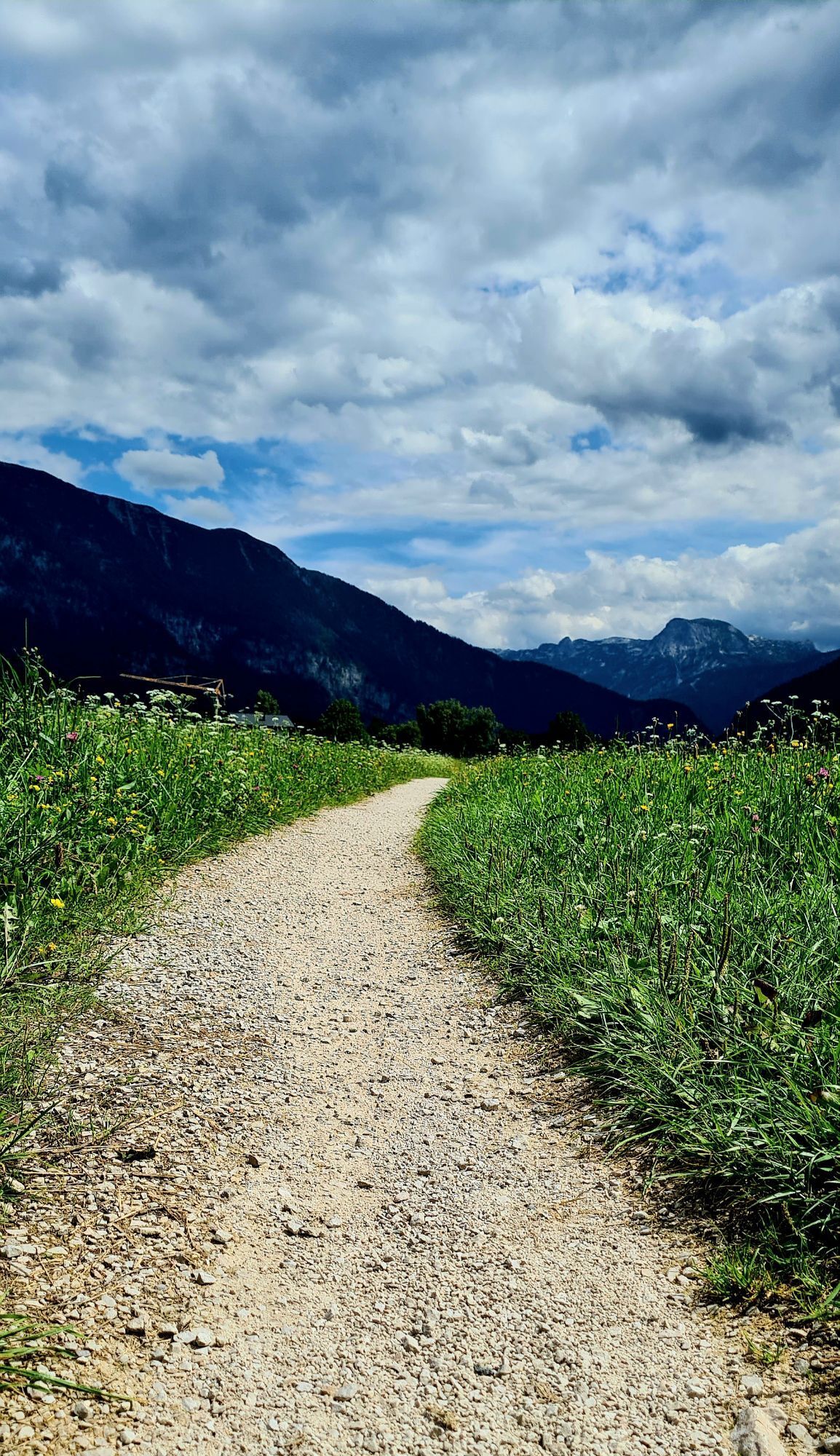
The Rossmoosalm is a rustic alpine hut with a sunny terrace overlooking an impressive alpine landscape including views of the Dachstein glacier. From there, the Rothmoos road takes you through a fairy-tale mixed forest down to the Flowiesen. The Rothmoos road is a wide and flat gravel road, easy to ride. After some time, you also pass near the Schwarzenbachloch, a cave where Protestants secretly practiced their faith in past days when it was forbidden. A detour takes about 20 minutes along a hiking trail. Pay attention to your footwear! Not recommended with classic road cycling shoes. It leads back to the asphalt road that returns to St. Agatha. Passing the shooting house, continue to a junction, turn right, and return to the starting point at the Landhotel Agathawirt.
The S202 Goiserer Sonnenseiten Runde is about 18.6 km long and has approximately 650 meters of altitude gain. It is suitable for gravel bikes with moderate to good fitness and riding skills. The route offers many beautiful views and natural experiences in the Salzkammergut. It is ideal for a half-day trip or an after-work ride.
Tip:Awesome photo spot at Rossmoosalm with a view of the Dachstein in front of a truly rustic Salzkammergut alpine backdrop
Safety guidelines:For a successful, accident-free, and exciting day, here are tips for planning before the tour.
Equipment:Please note that any gravel tour should always be completed with flawless equipment. Below are some tips for preparation and equipment.
Please note that any MTB tours should always be completed with flawless equipment.
Here is our recommendation for tour preparation and equipment.



Kamery internetowe z trasy
Uzyskaj wgląd
Zawsze na żywo z ponad 9 500 kamer internetowych. bergfex Jako użytkownik Pro, możesz teraz zobaczyć odpowiednie kamery internetowe dla wielu wycieczek w aplikacji wycieczki od. Pozwala to na bezpośredni podgląd aktualnych warunków.

Popularne wycieczki w okolicy
-
4,5
Altaussee: Seeumrundung
Wycieczki górskie 7,58 km -
4,5
Loser: Loserfenster und Losergipfel
średniWędrówka 2,48 km -
4,9
From Rußbach over the Gamsfeld
ciężkiWędrówka 11,5 km -
3,8
Ostuferwanderweg
światłoWędrówka 16,2 km -
4,5
Hike to the Hütteneckalm
światłoWędrówka 8,70 km -
4,9
4 Gipfel - 1 See am Loser
ciężkiTrailrunning 8,81 km -
4,9
„Hoher Sarstein 1975m“ - Hallstätter Genusstour - Hallstatt - Obertraun - Bad Ischl
ciężkiWędrówka 23,2 km -
4,8
Eisenaualm
średniMountainbike 37 km -
4,8
Loserrunde über Augstsee, Loserfenster, Losergipfel und Loserhütte
średniWędrówka 4,69 km -
4,7
Hütteneck ski & snowshoe tour
średniRakieta do chodzenia po śniegu 3,88 km
Wędrówki i tropienie


Nie przegap ofert i inspiracji na następne wakacje
Twój adres e-mail została dodana do listy mailingowej.





