


Danube Cycle Path Stage 2 South Bank: Schlögen - Linz

Schopper & Dom - Culture by the Wayside
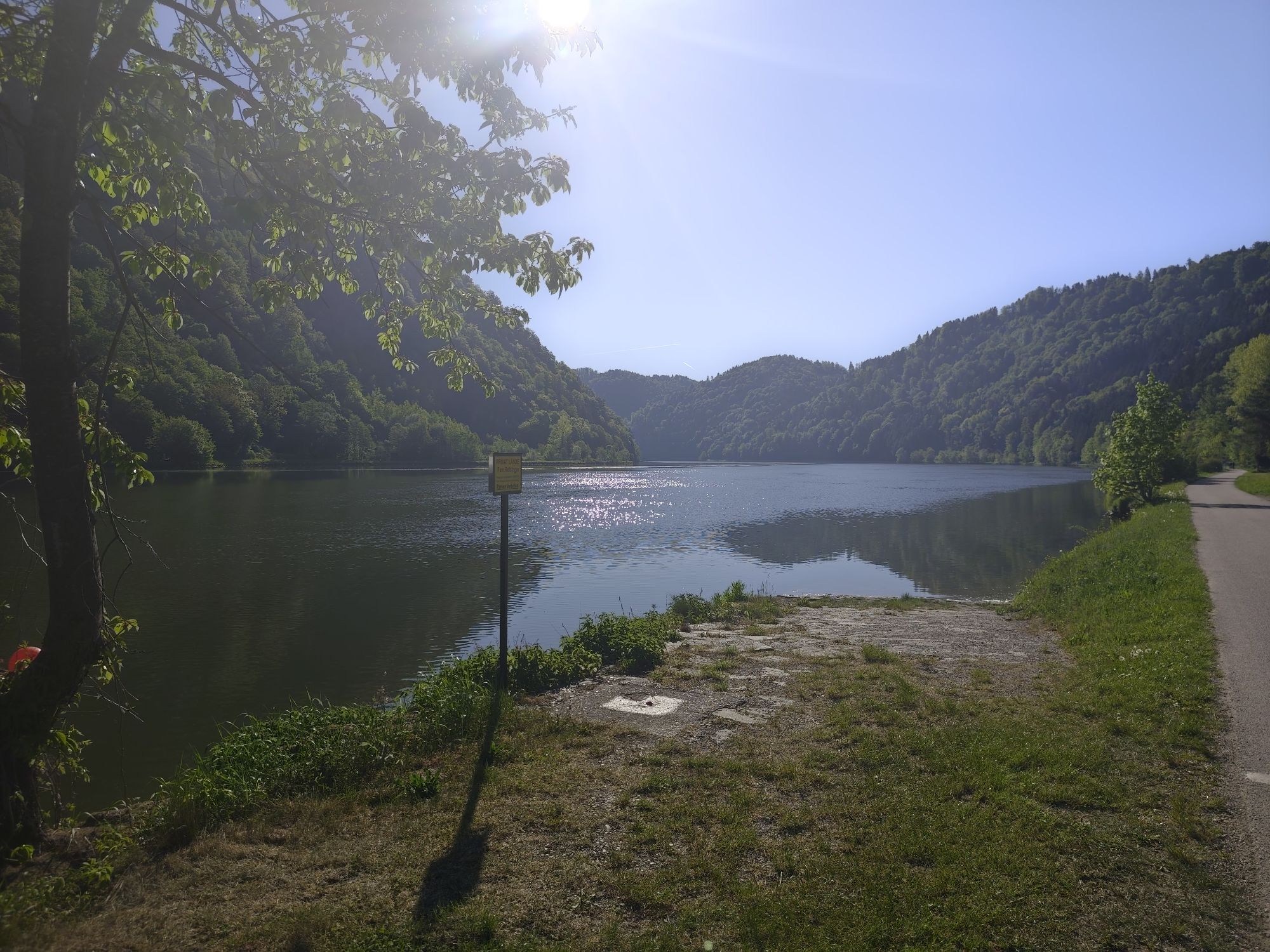
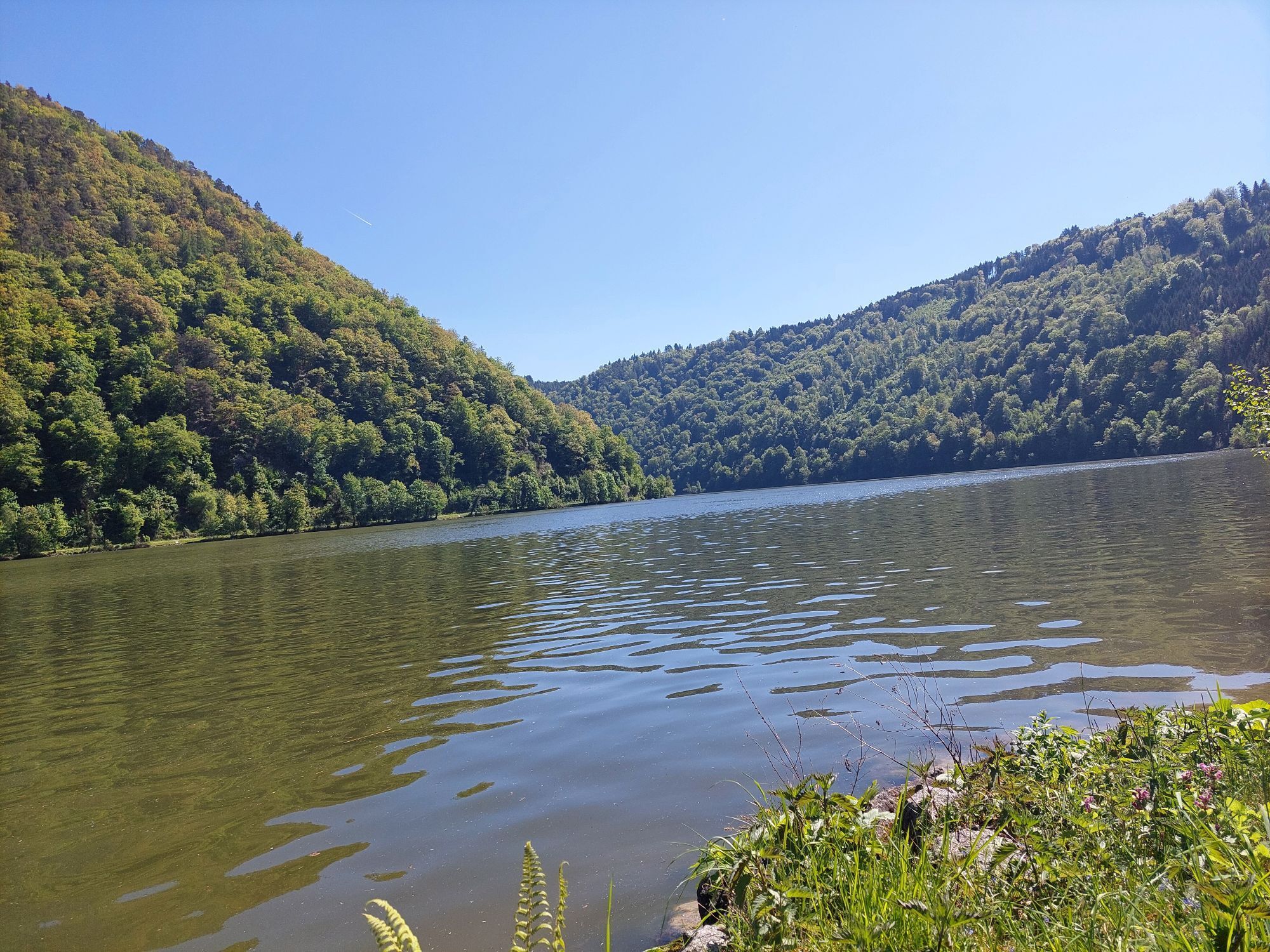
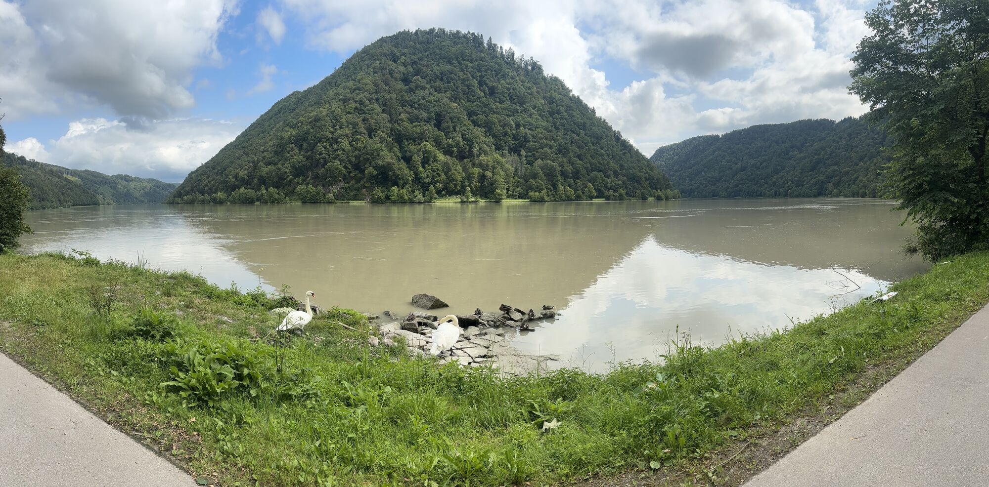
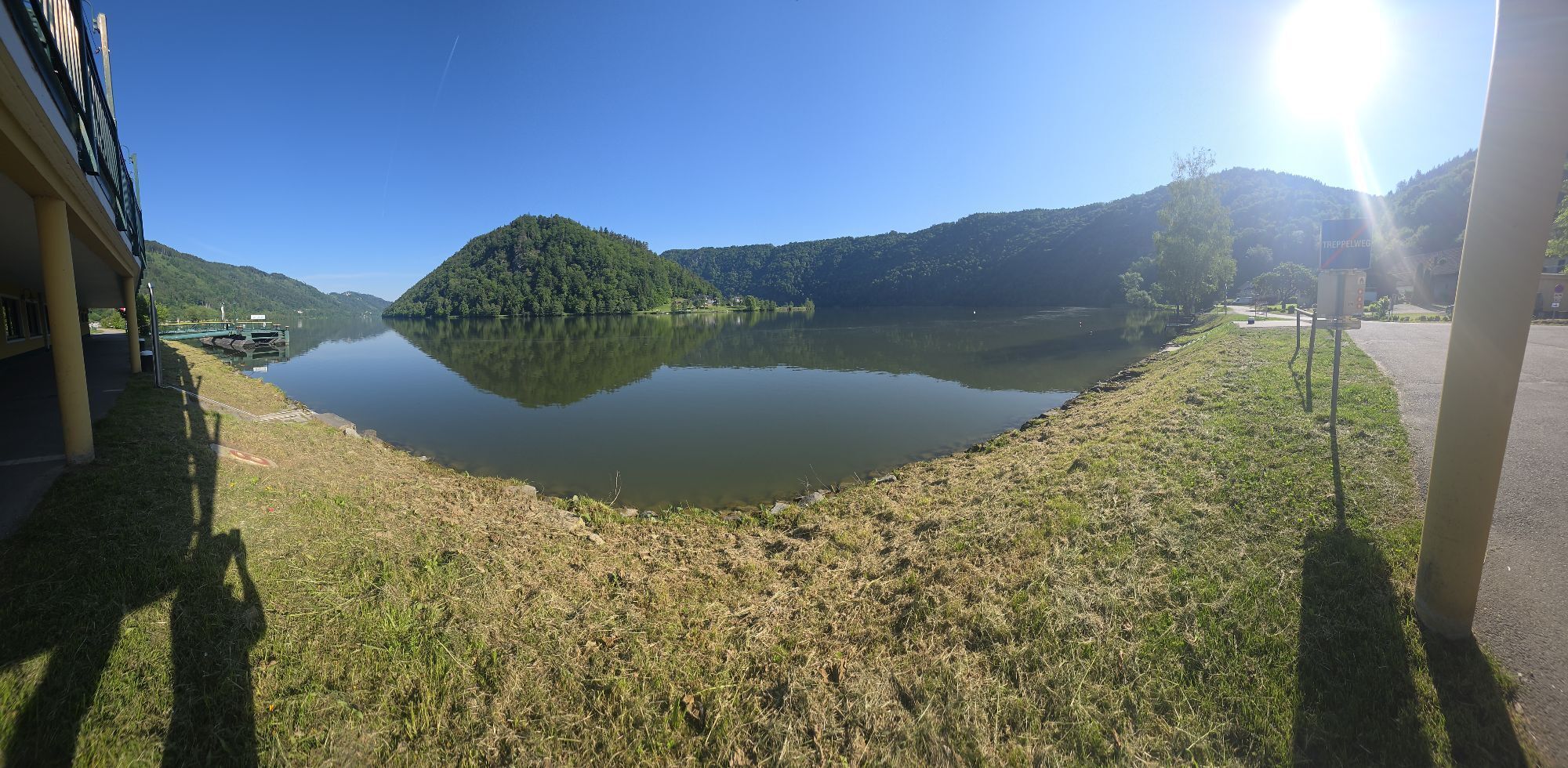
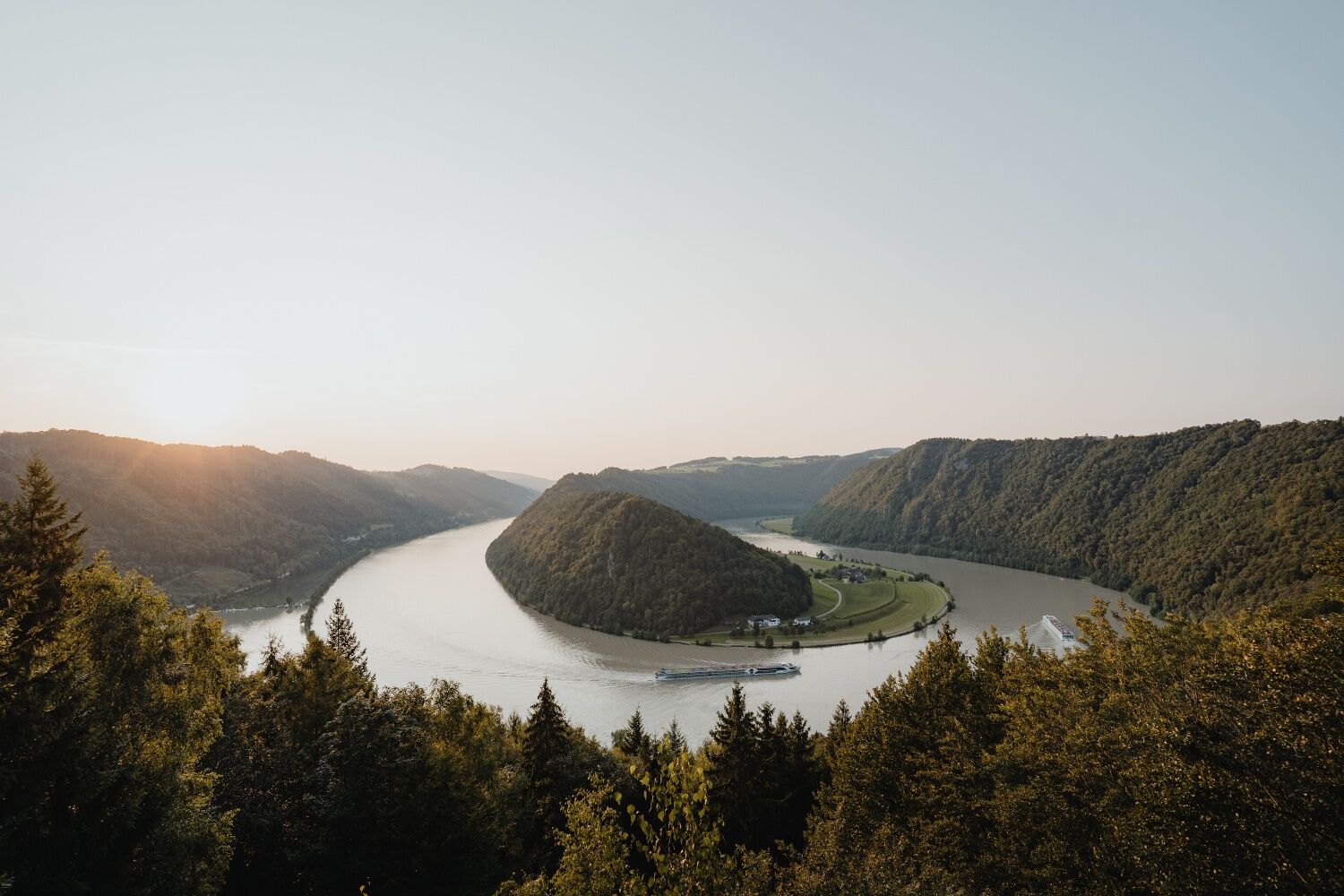
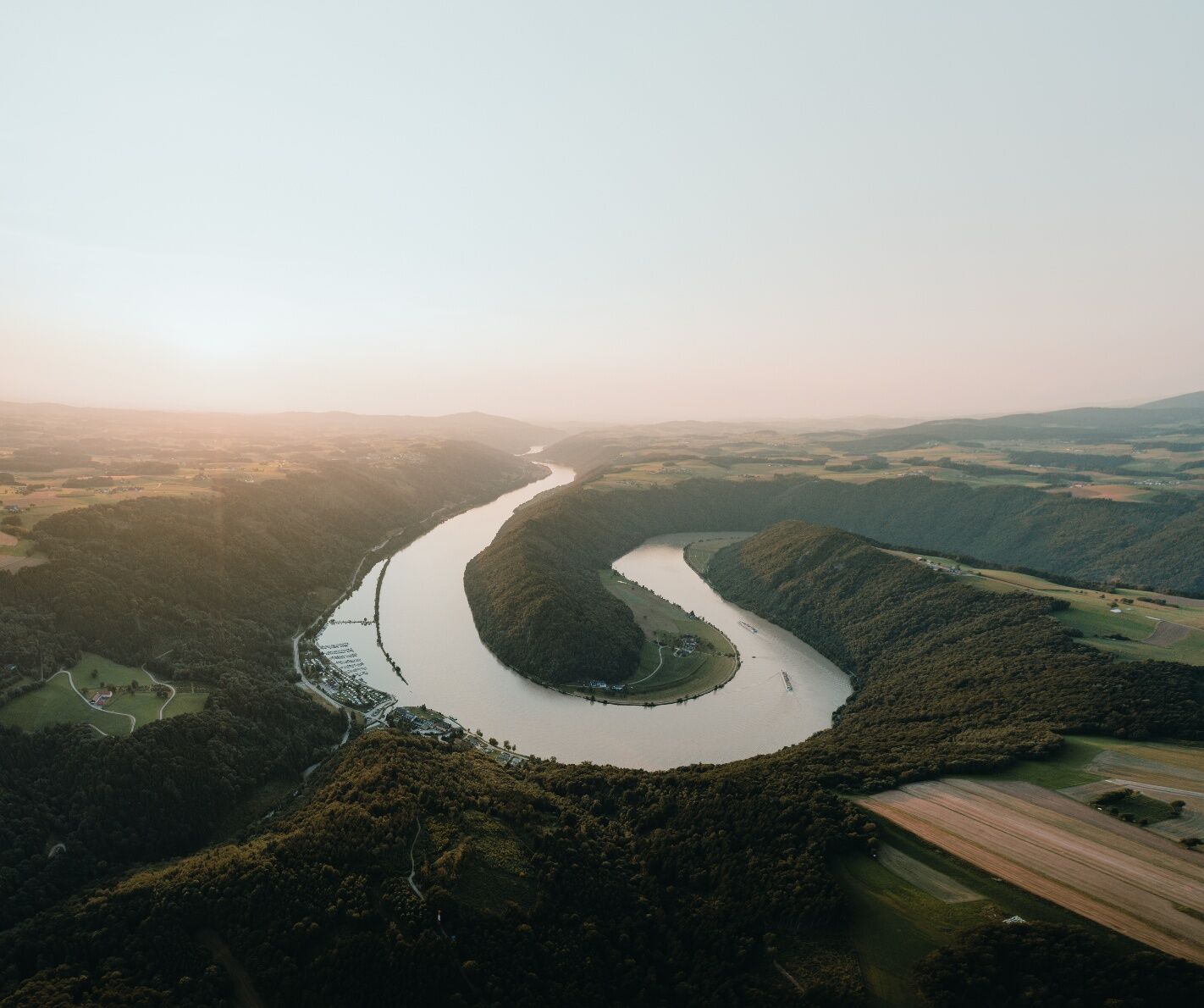
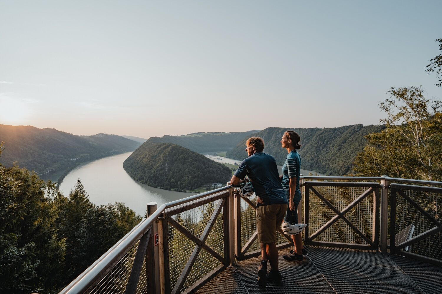
Before you start this stage on the south bank of the Danube, you should climb up to the "Schlögener Donaublick", 30 minutes above the village in Schlögen. From here...
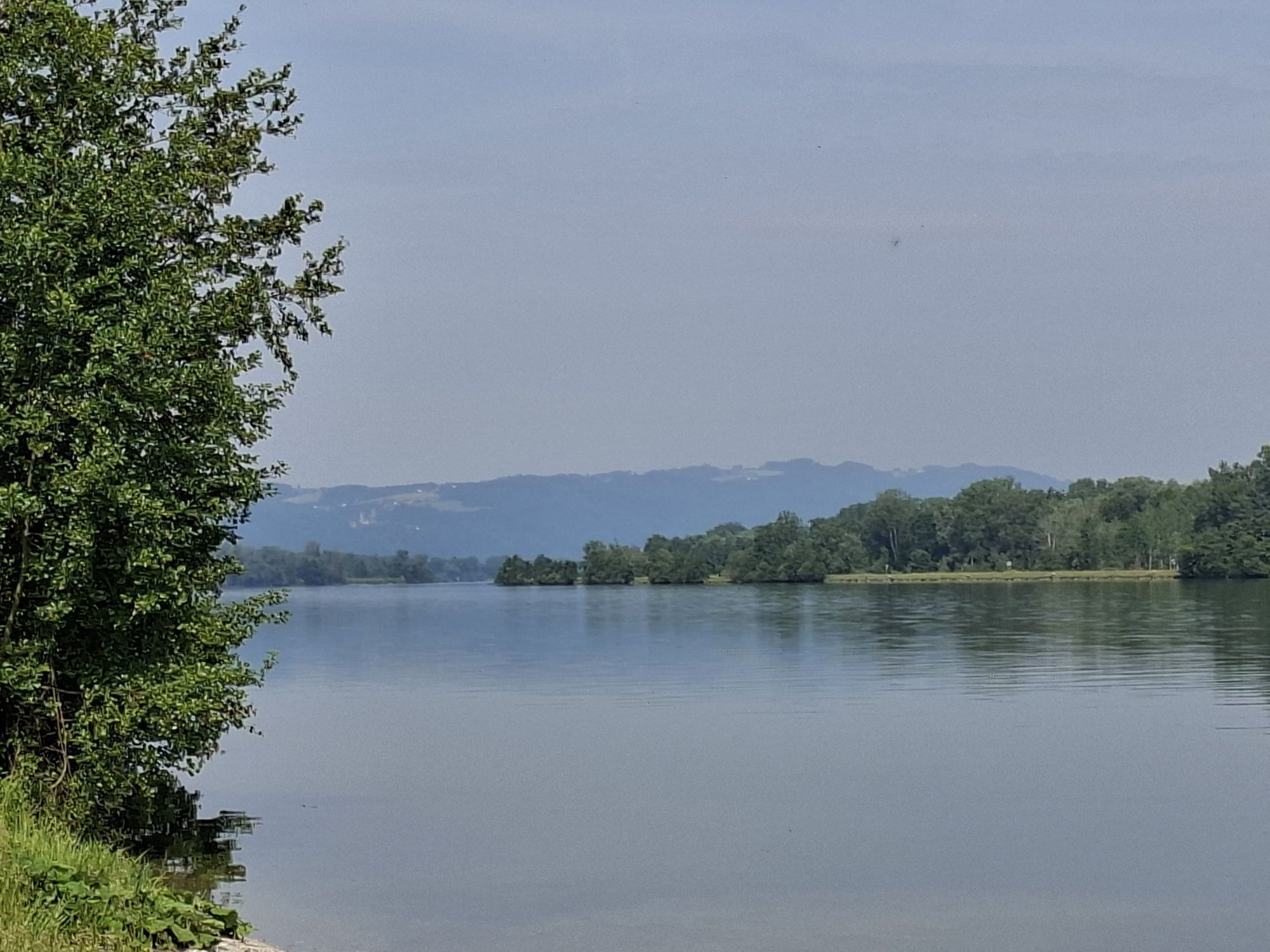
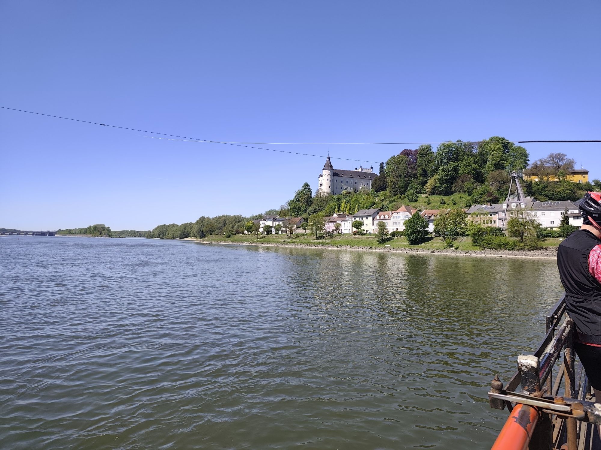
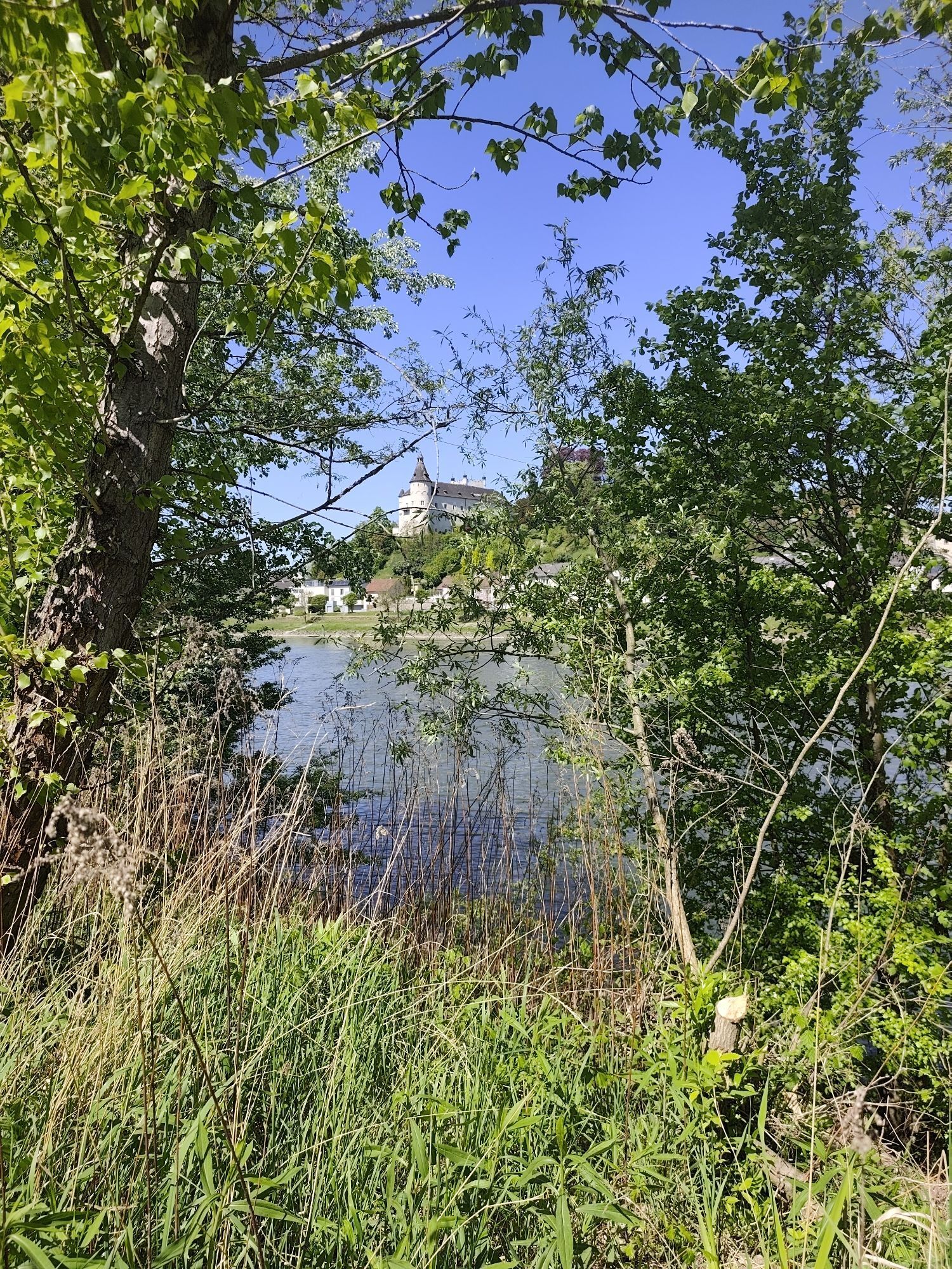
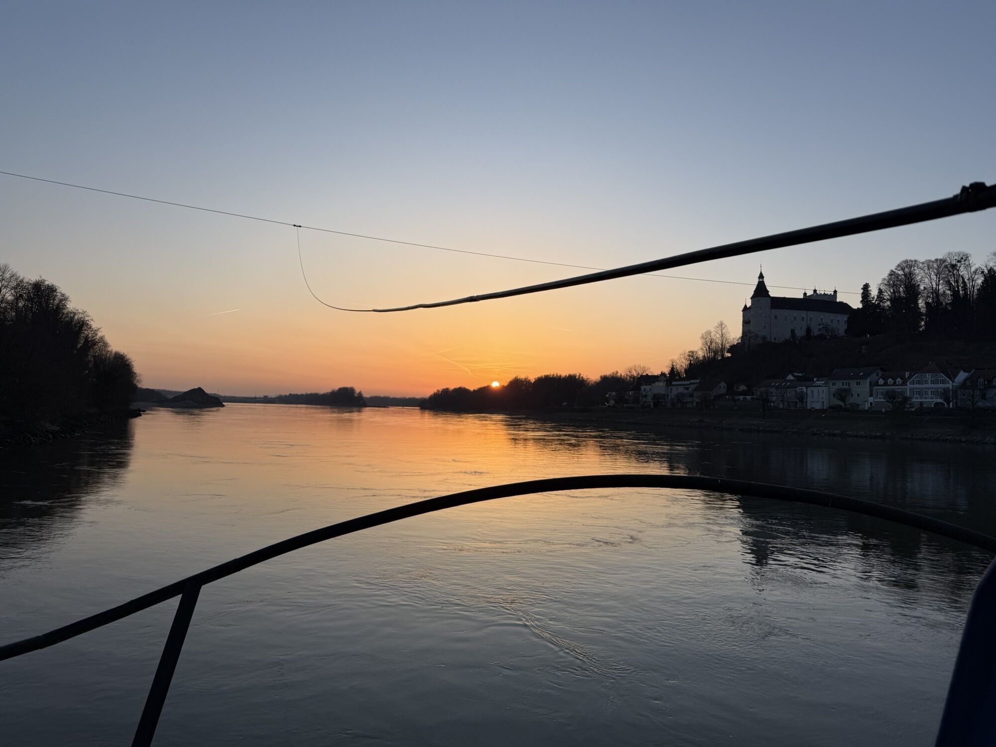
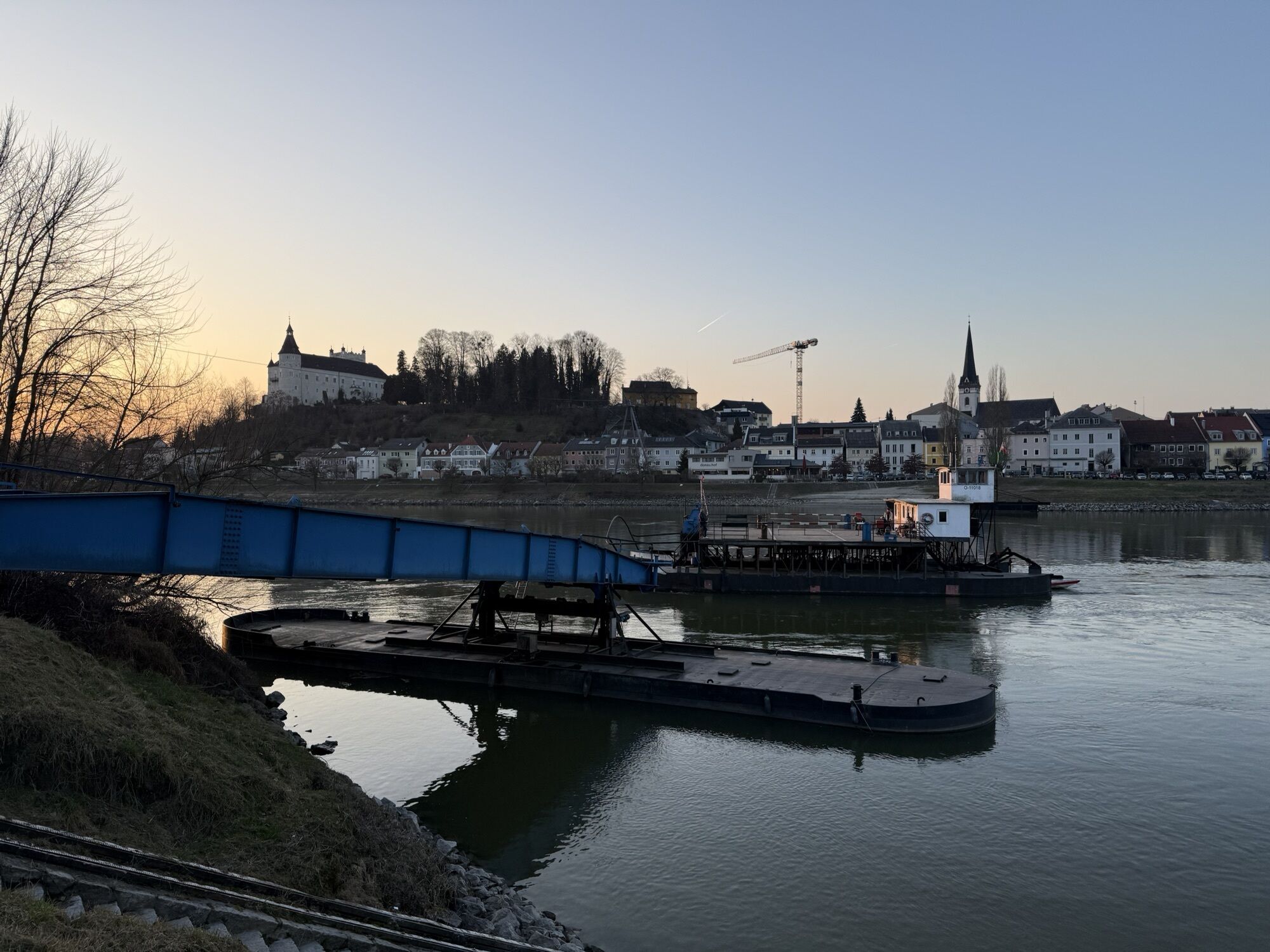
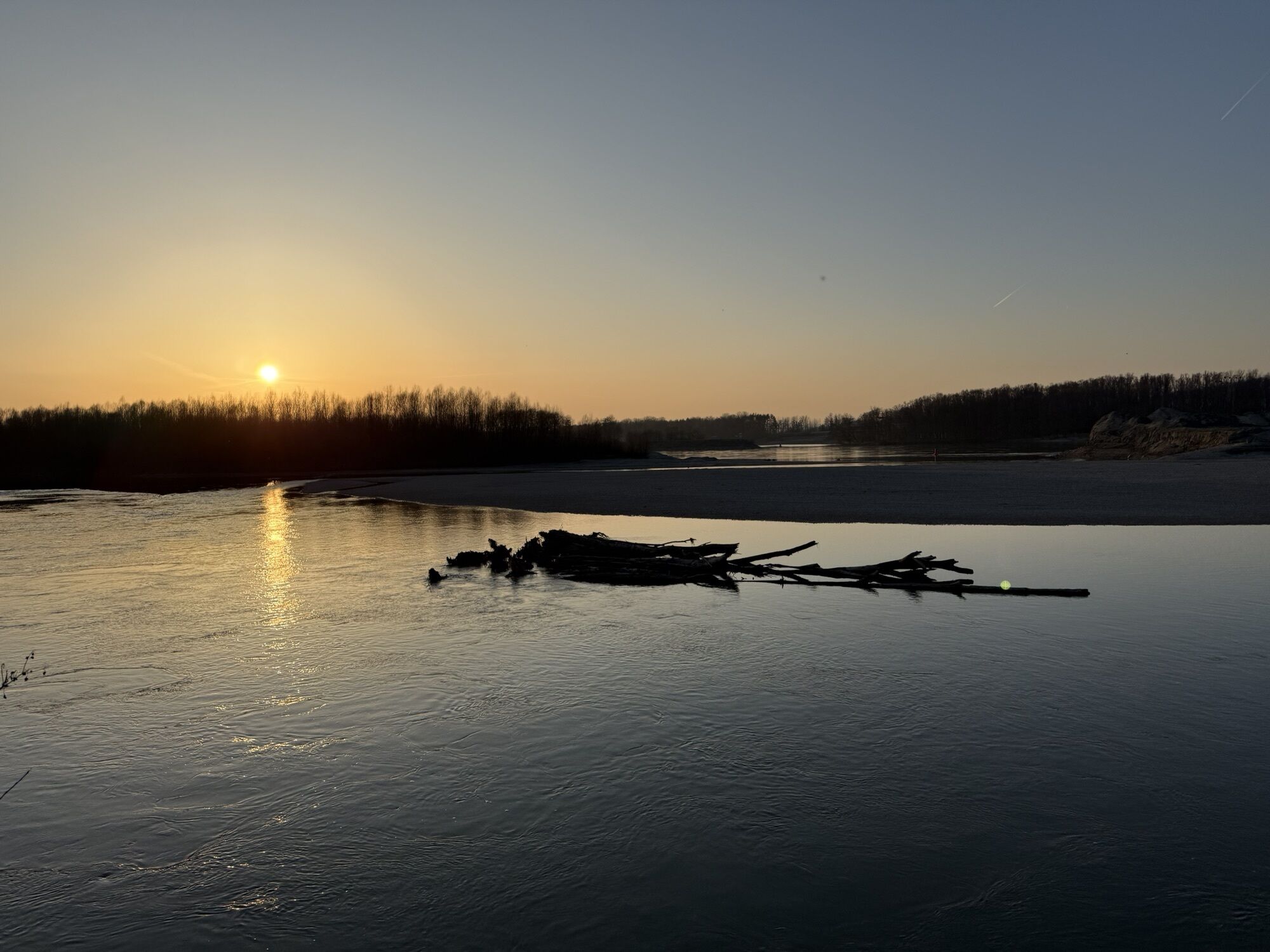
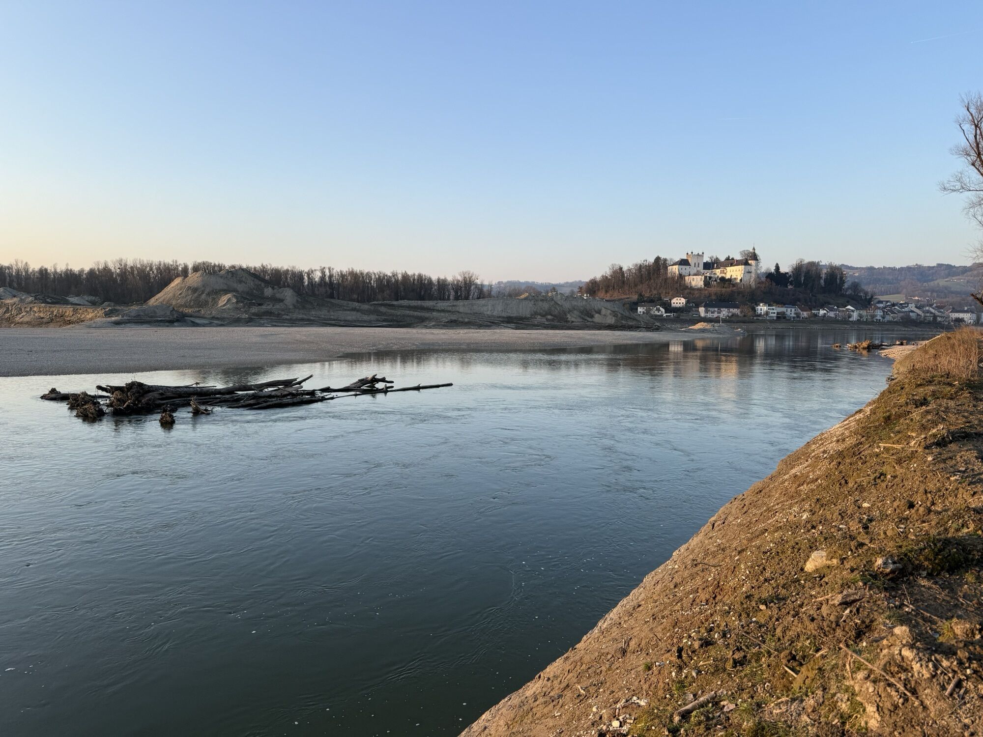
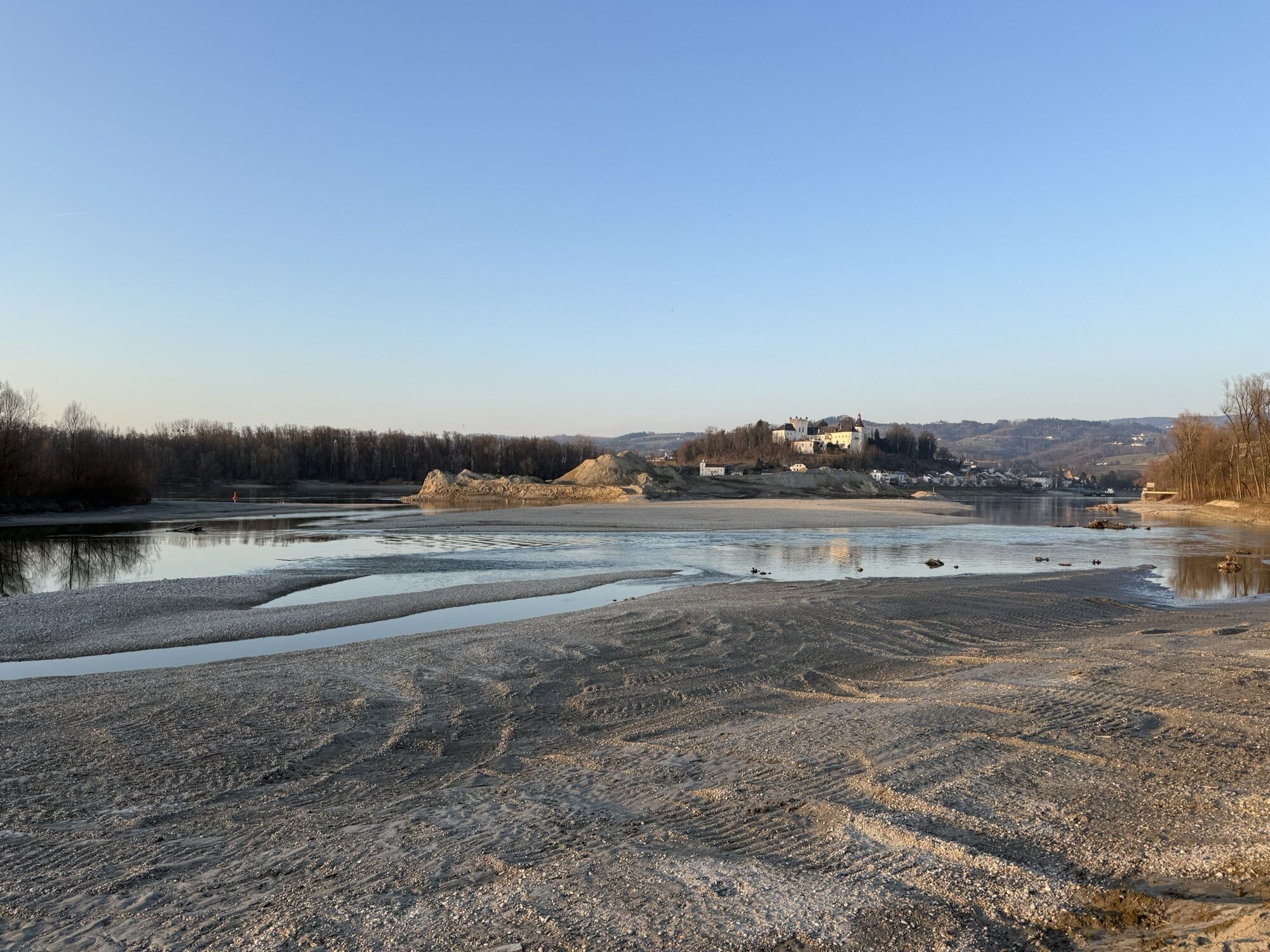
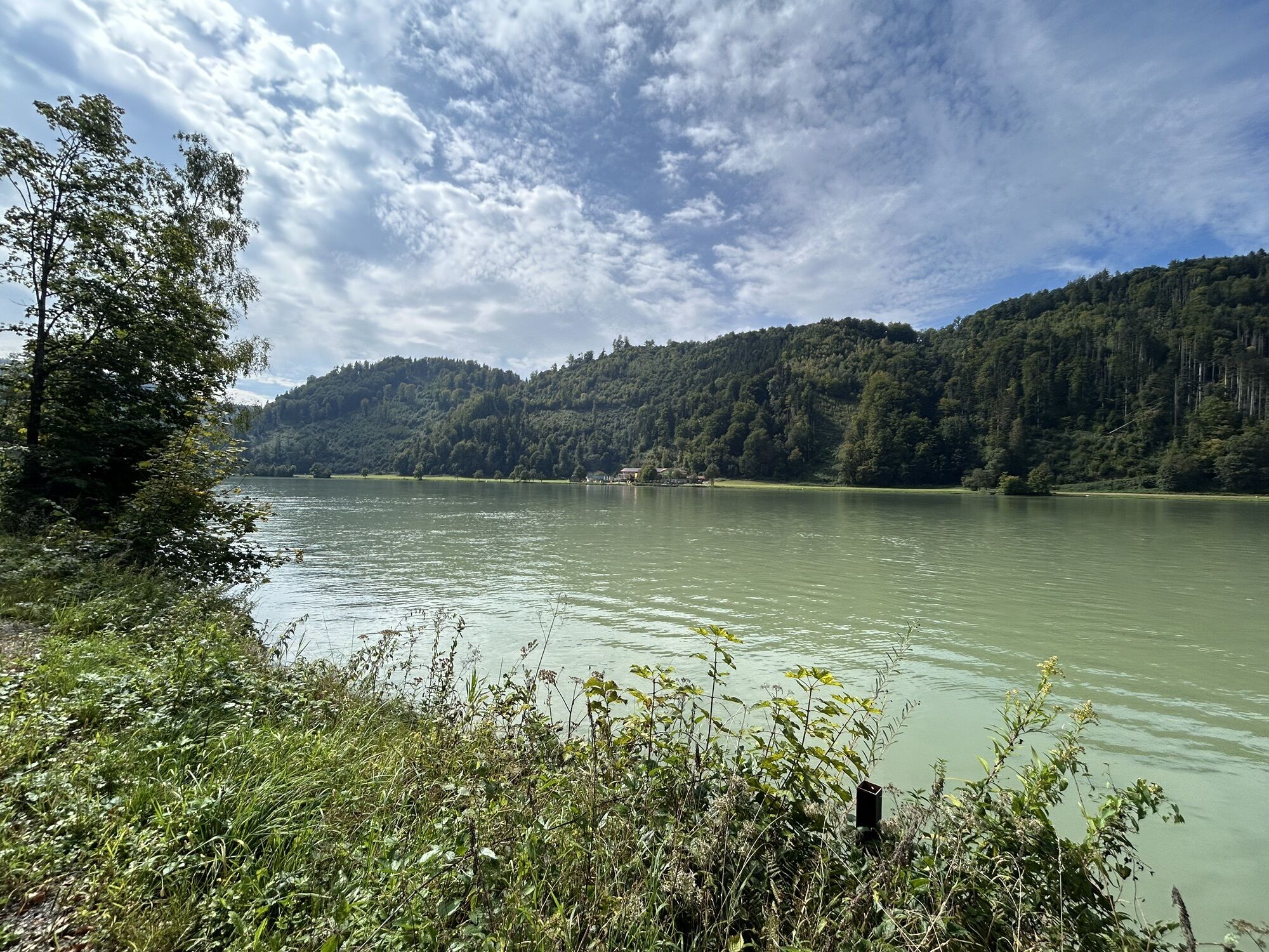
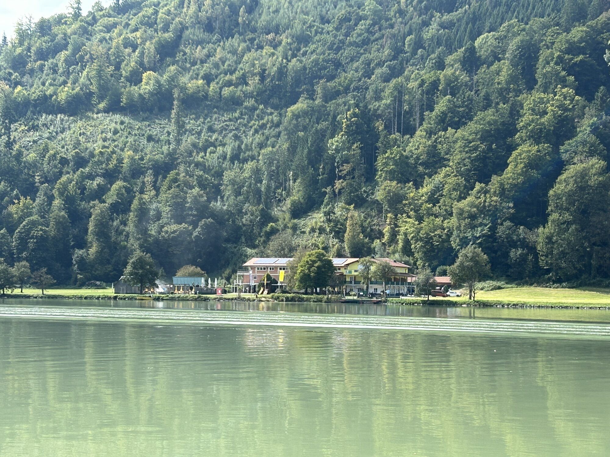
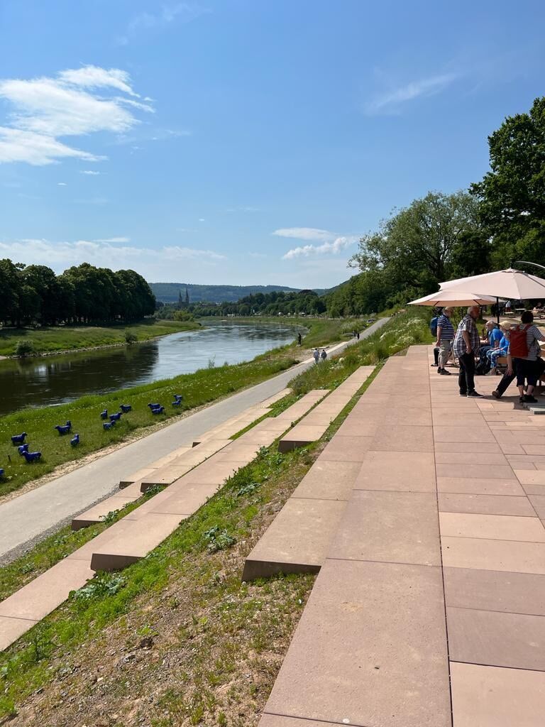
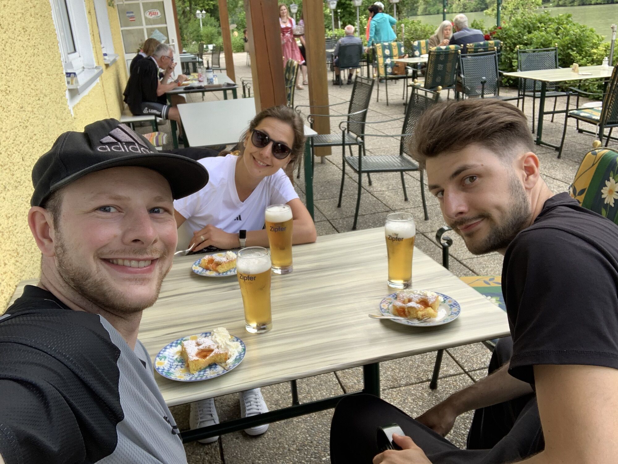
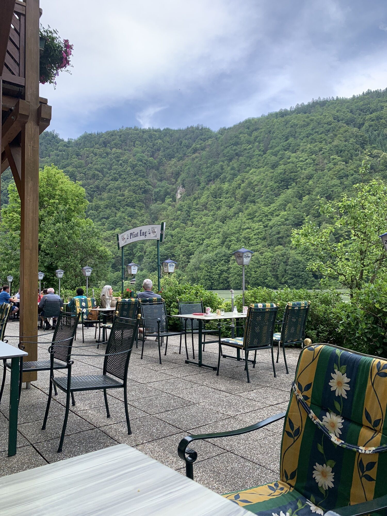
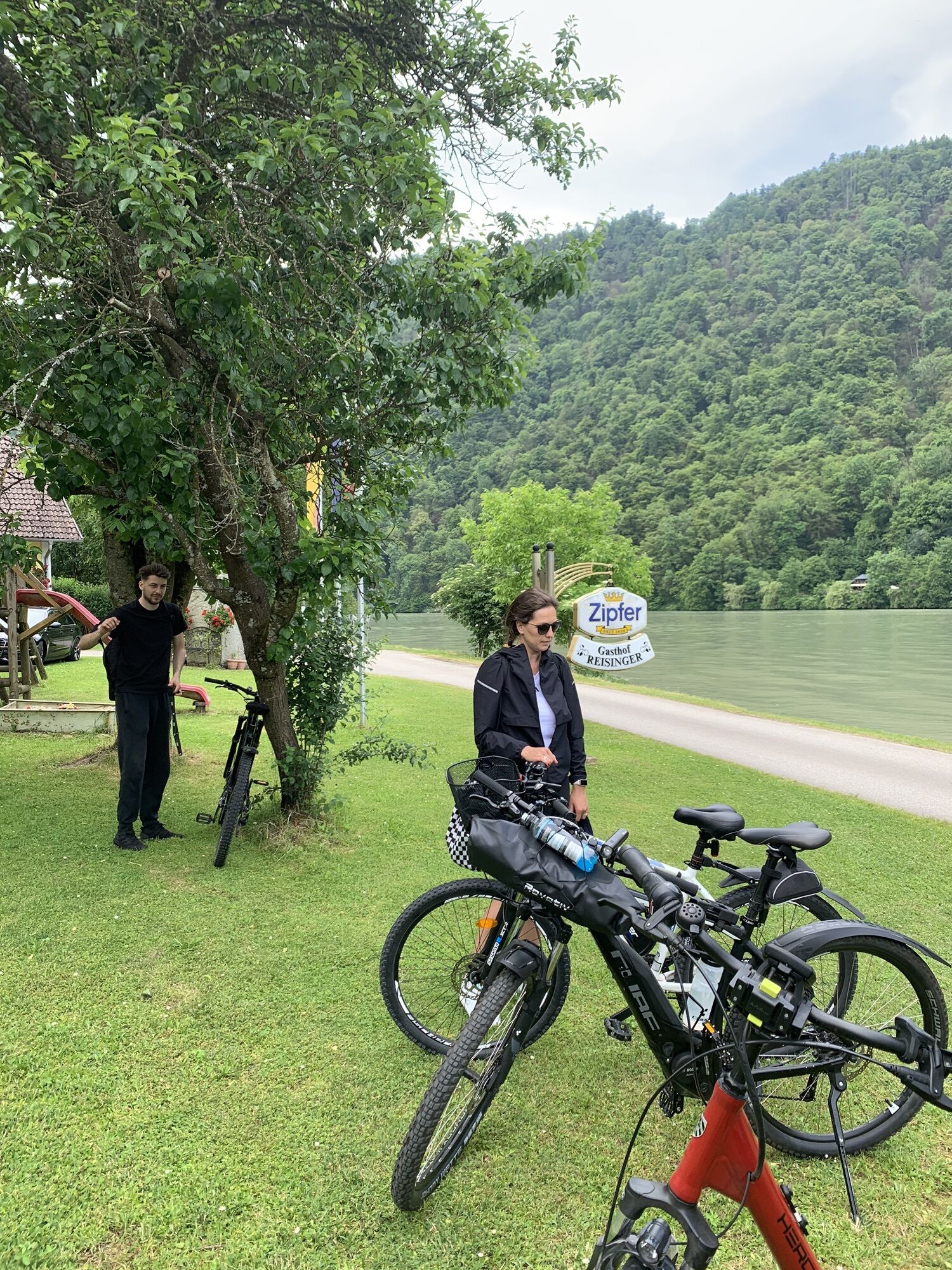
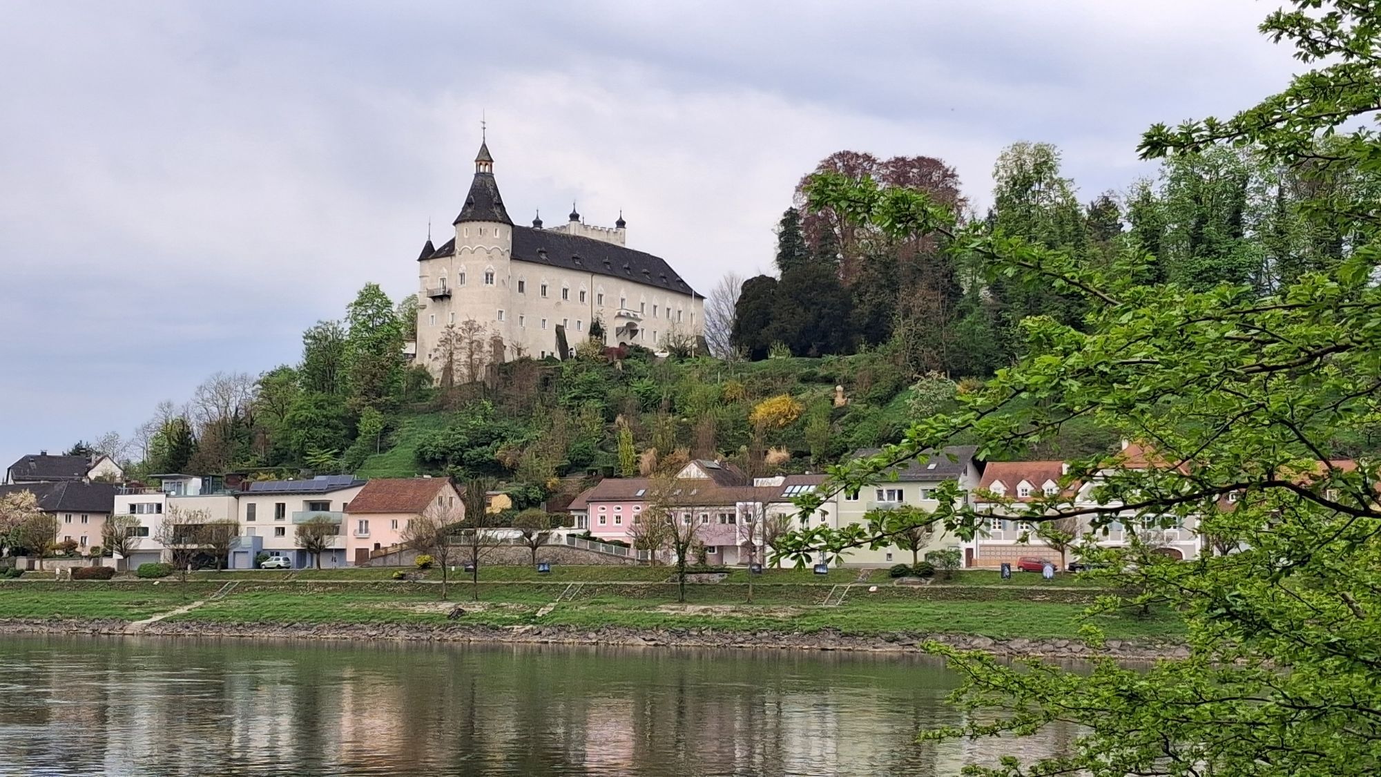
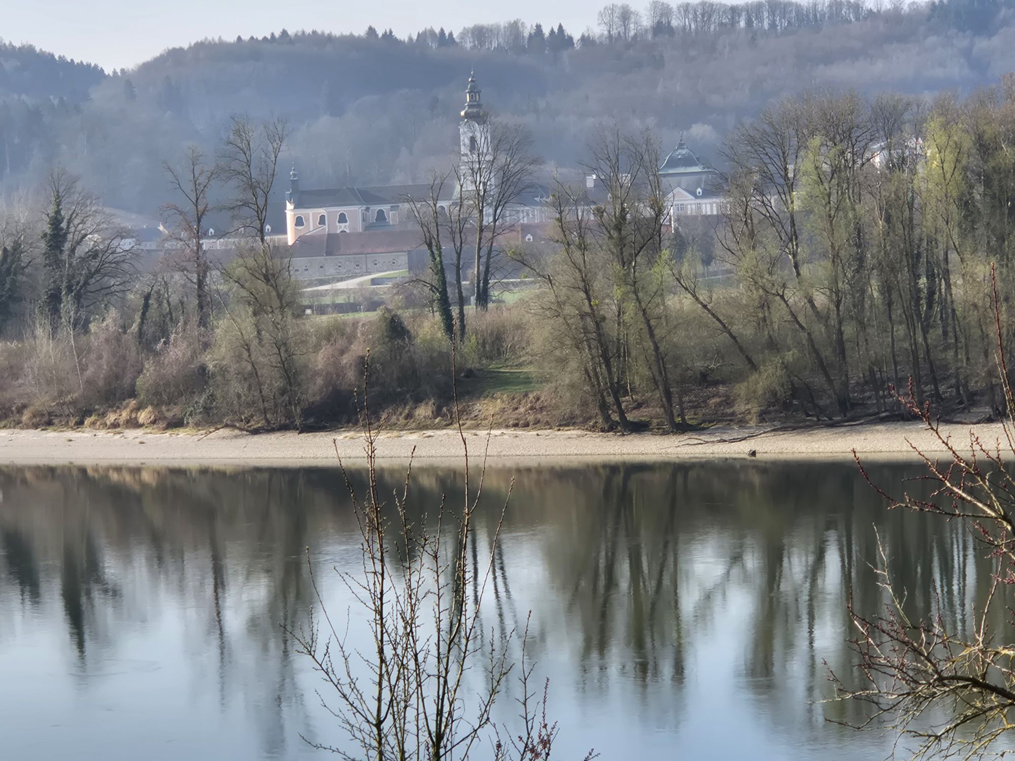
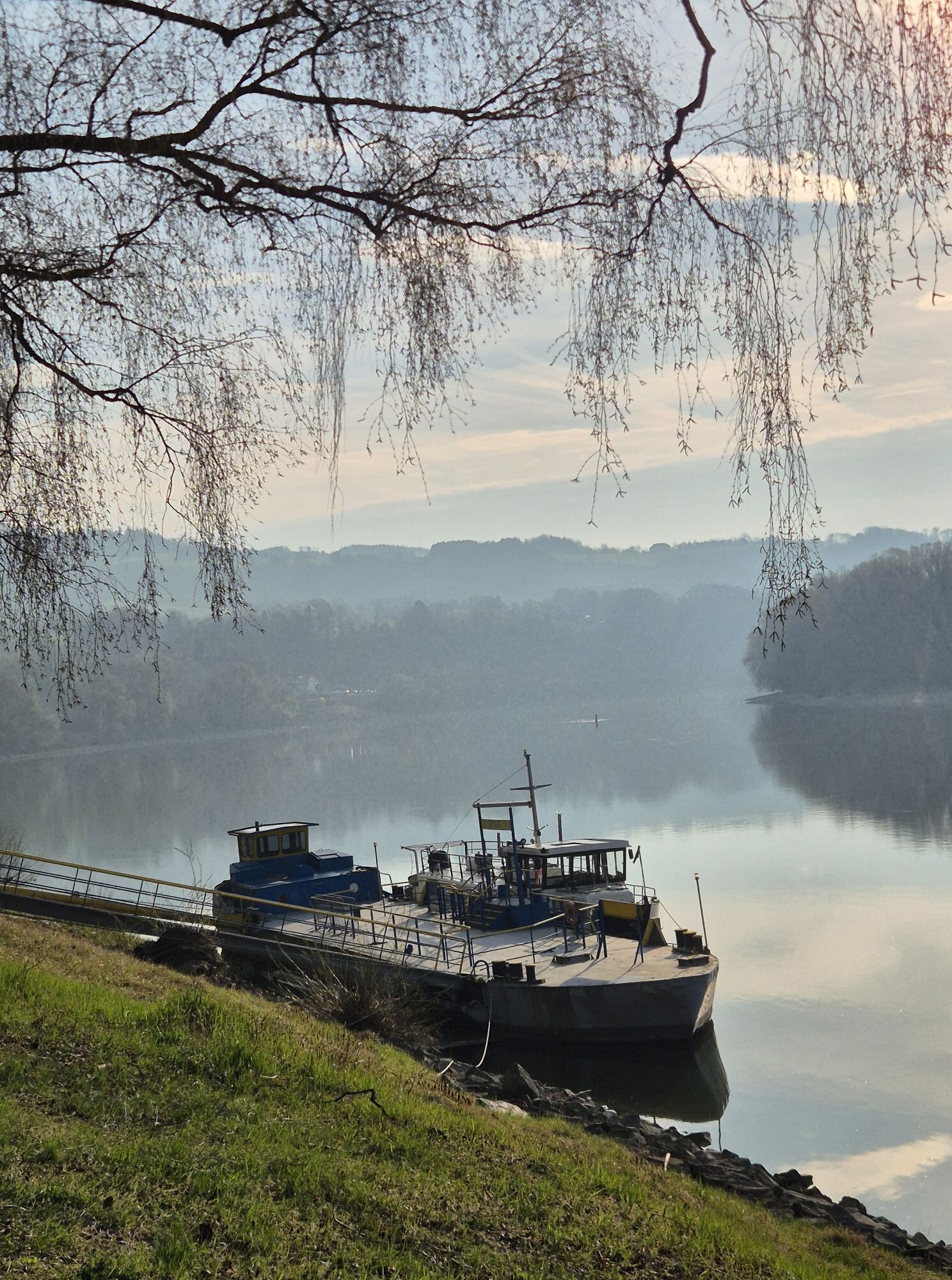
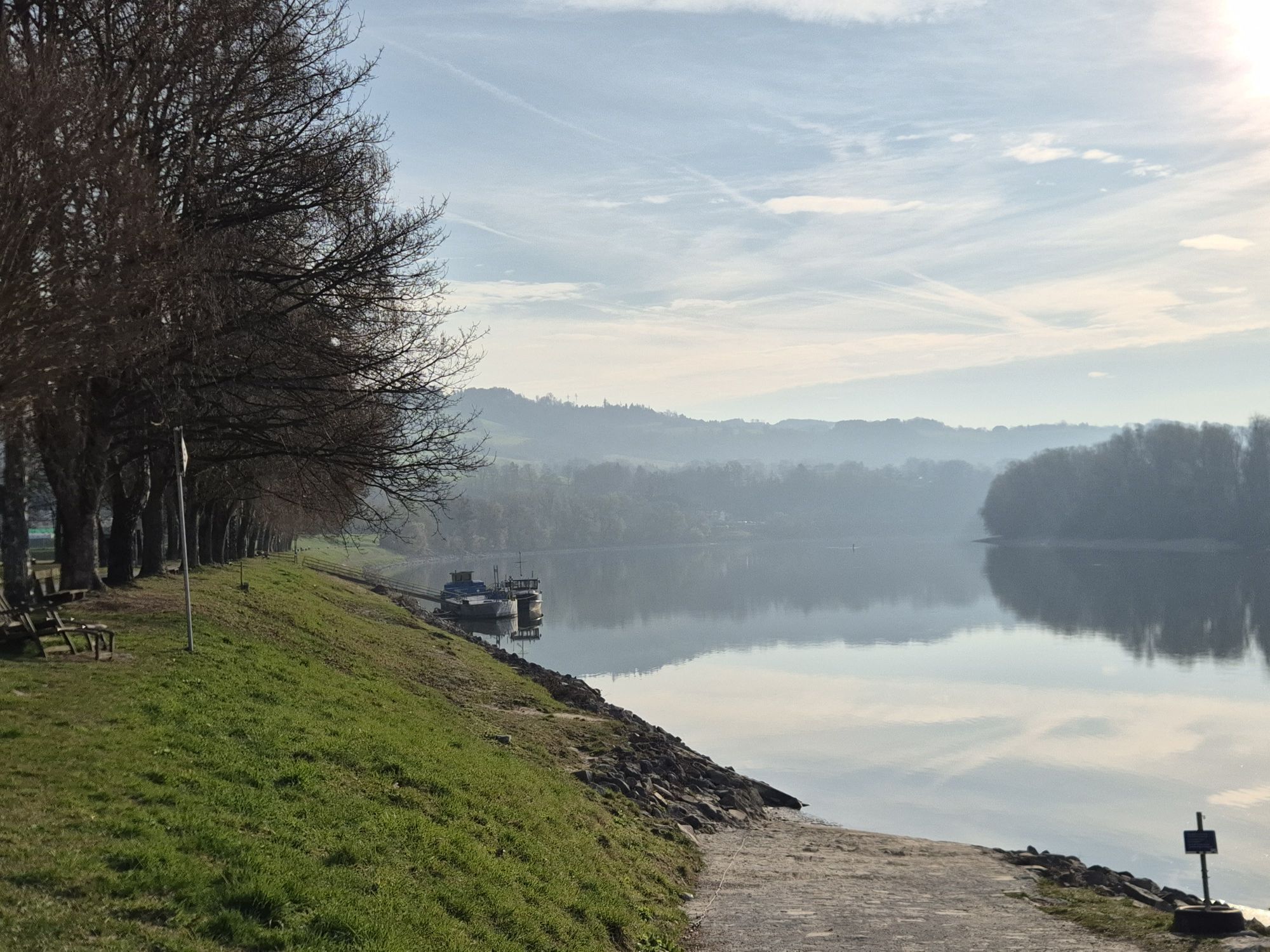
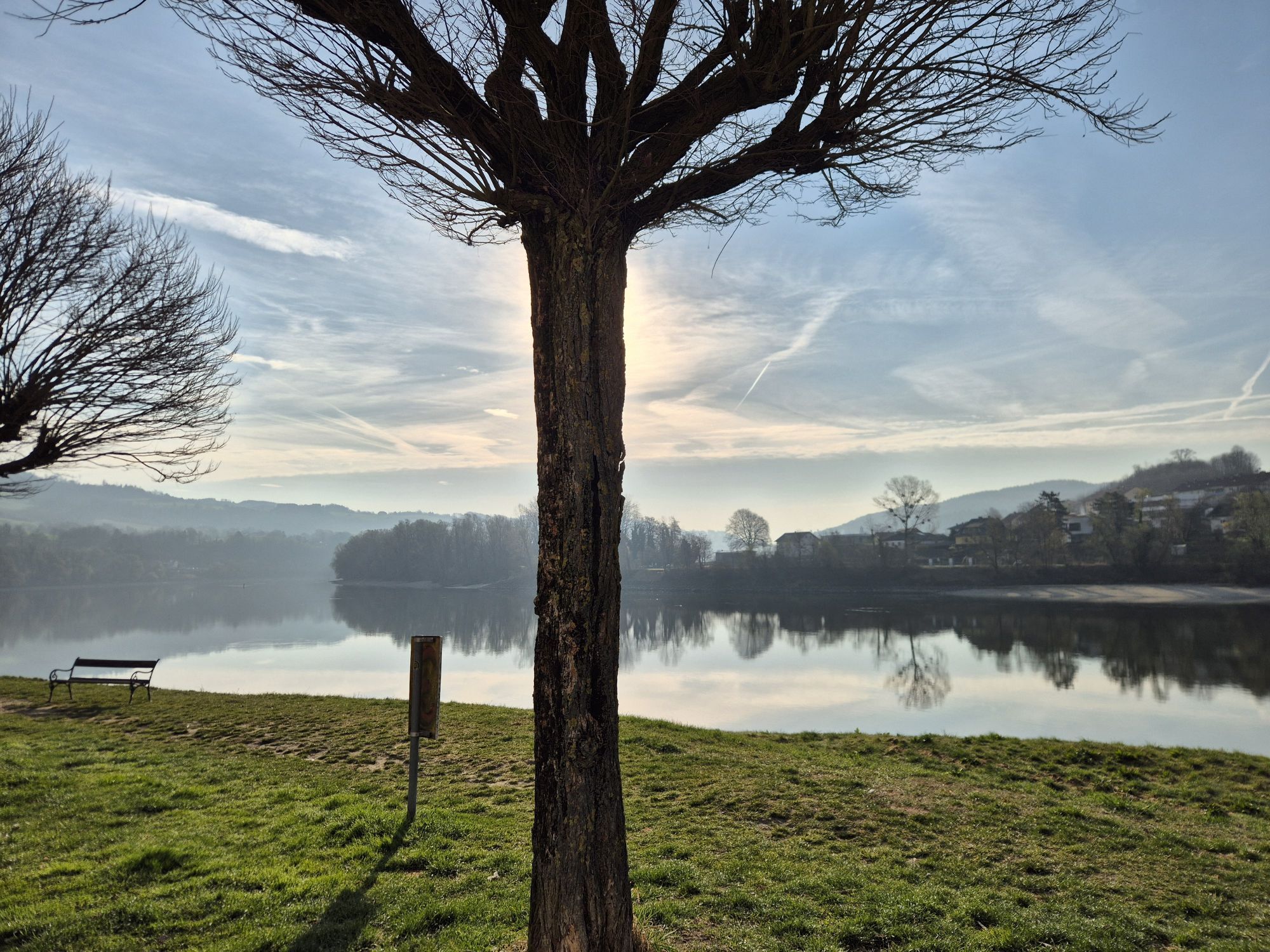
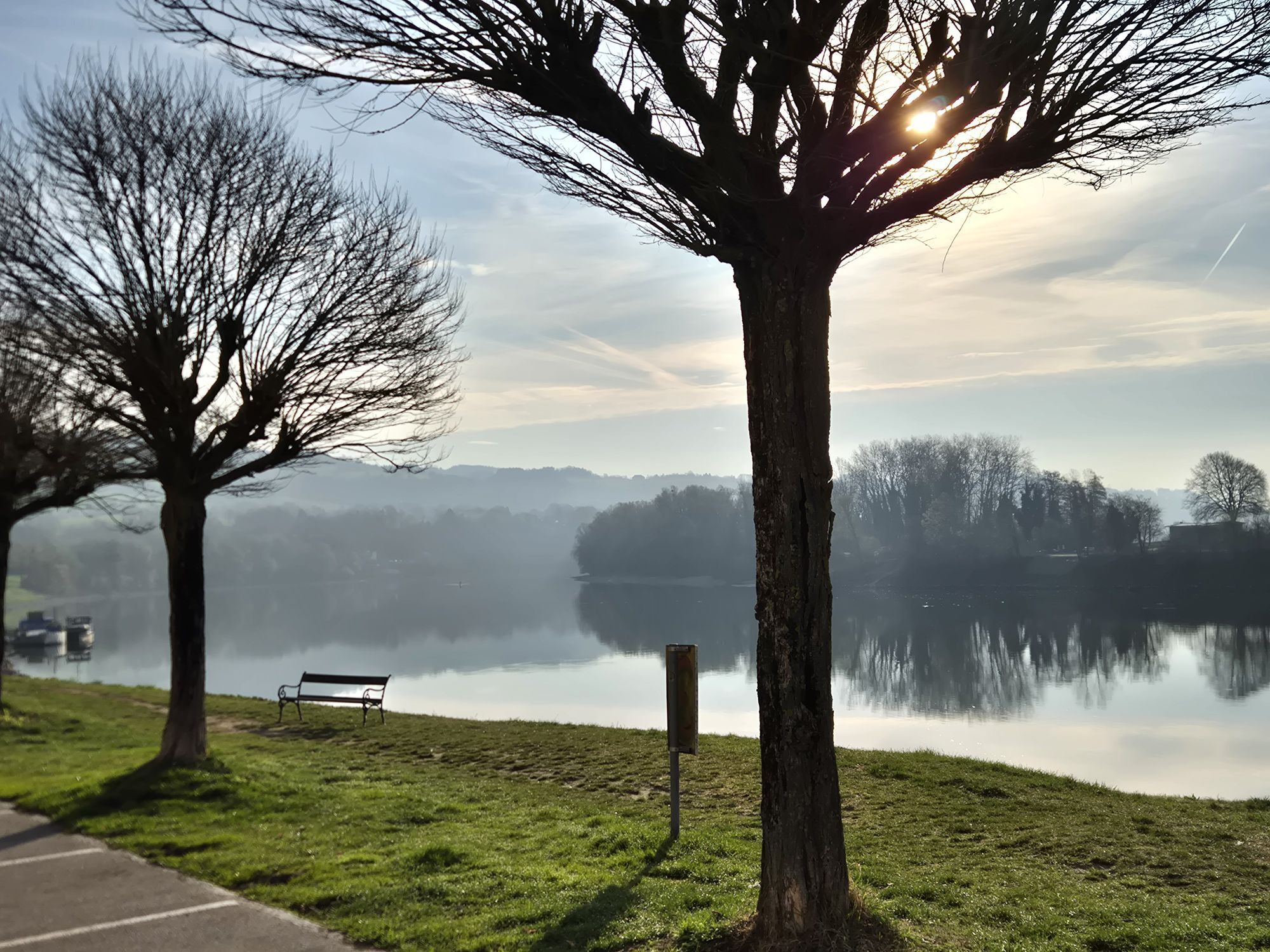
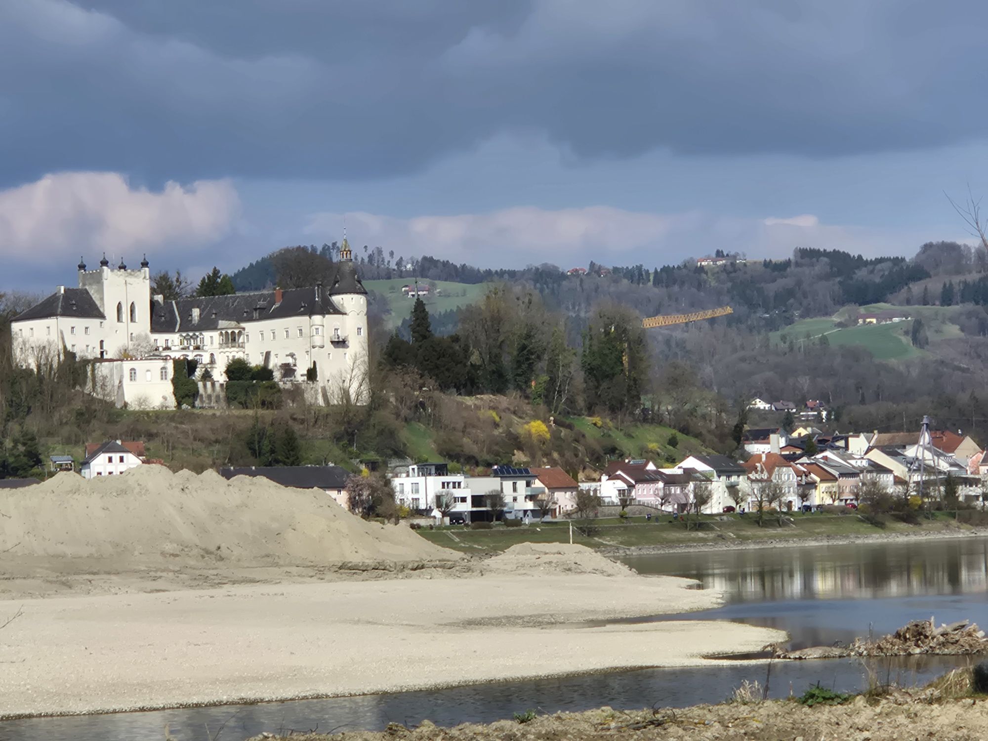
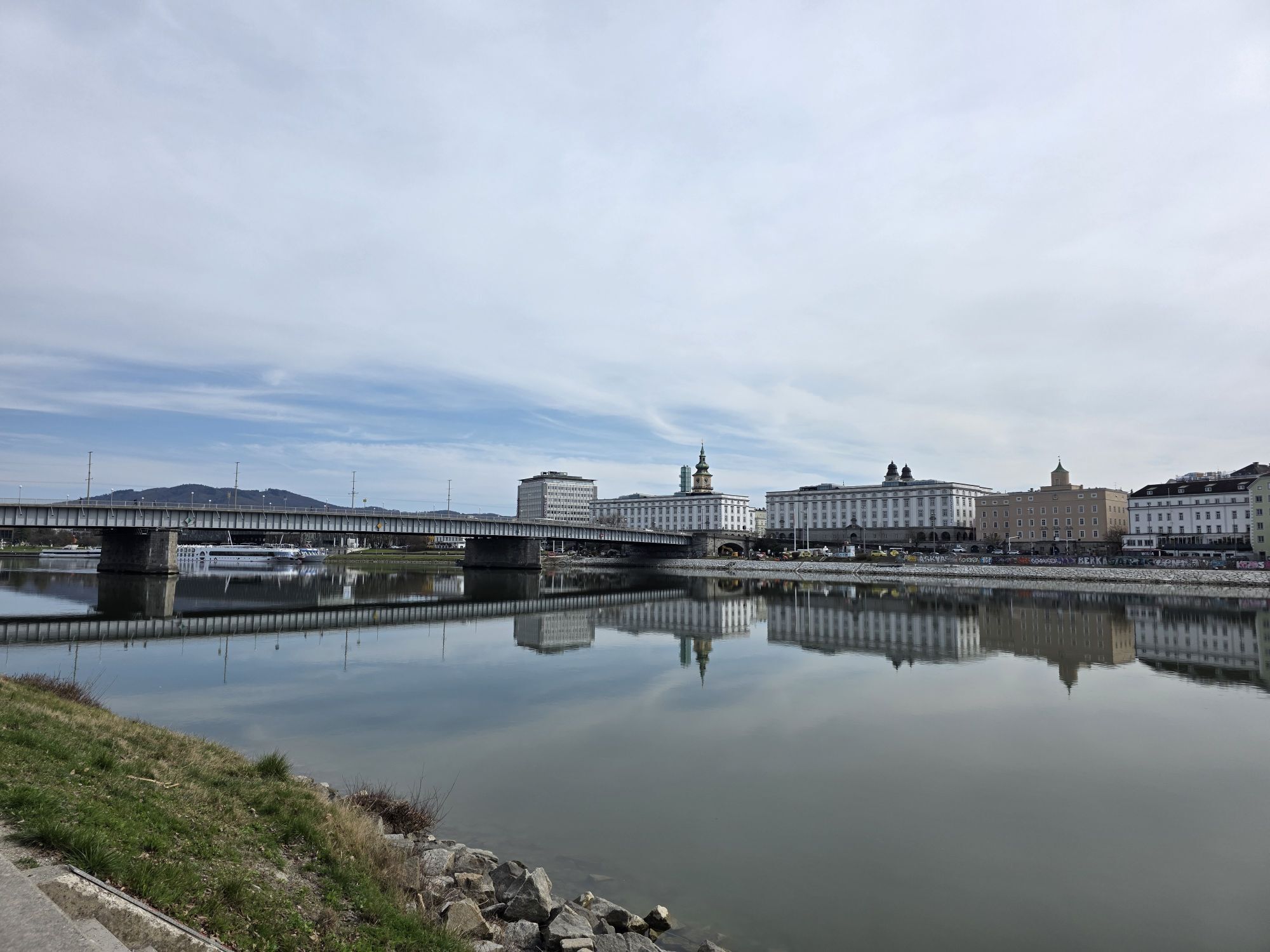
<p><strong>Schopper & Dom - Culture by the Wayside</strong></p><p>Before you start this stage on the south bank of the Danube, you should climb up to the "Schlögener Donaublick", 30 minutes above the village in Schlögen. From here you enjoy a magnificent view of the famous Schlögener Danube loop. After gaining the best overview in this way, you will then get to know the forest slopes of this river meander, the so-called "Donauleiten," up close by bike.</p><p>Natural routes lead you past Inzell and Kaiserau, where Schloss Neuhaus soon rises on a rock. Upon reaching the small market town of Aschach, you will find a worthwhile town center with ancient townhouses whose facades and courtyards date from Gothic, Renaissance, and Baroque periods. In the modern "Schopper Museum," you will learn interesting and curious facts about the old craft of shipbuilding, and in the old parish church, you can discover the supposed healing powers of the "Danube Cross." Also visit the barrier-free cultural hiking trail in Aschach and learn more about the history of the Danube market.</p><p>It is not far from Aschach to Eferding. The history of the small town somewhat off the Danube cycle path goes back to Roman times. Its town square counts among the most beautiful in Upper Austria, as the townhouses there have remained almost unchanged since the Middle Ages. The parish church is nicknamed the "Eferding Cathedral" due to its size. It is as worthy a detour as the magnificent Starhemberg Castle with its museums and exhibitions. <strong>Tip</strong>: those who want to see a ski jump in nature – a detour to the Hinzenbach ski jumping arena is worthwhile!</p><p>More culture by the wayside is offered by the Wilhering Cistercian Abbey (founded in 1146) with its Rococo church and the Fritz-Fröhlich collection, “Fröhlich meets Sulzer” in the abbey museum. Immediately after your short visit, the ferry in the Ufer district will take you to the northern bank to Ottensheim, where you can enjoy the last cycling meters to Linz.</p>


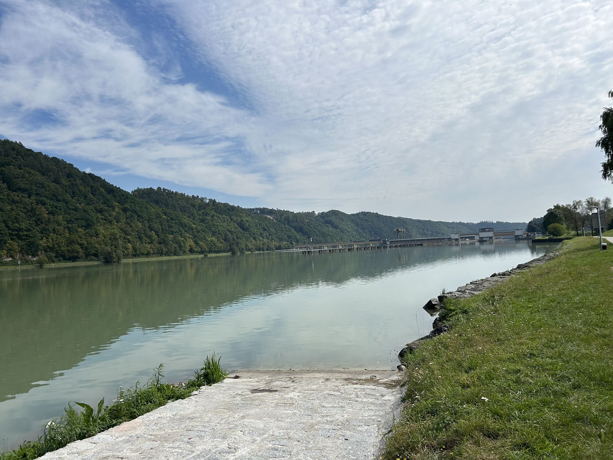
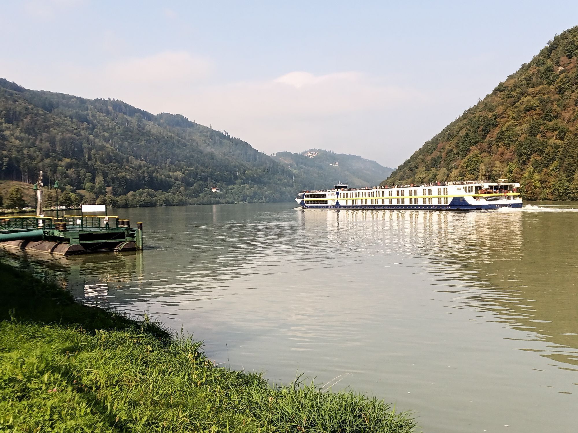
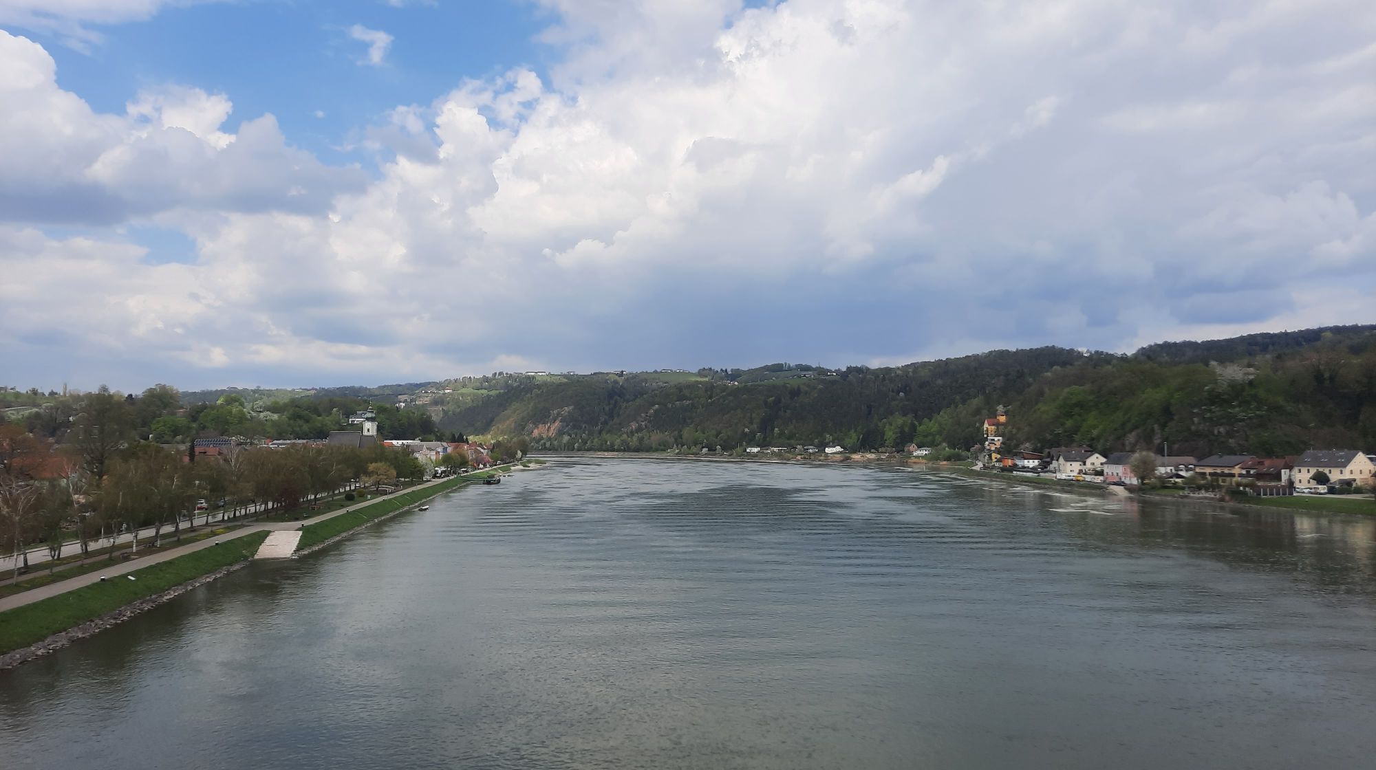
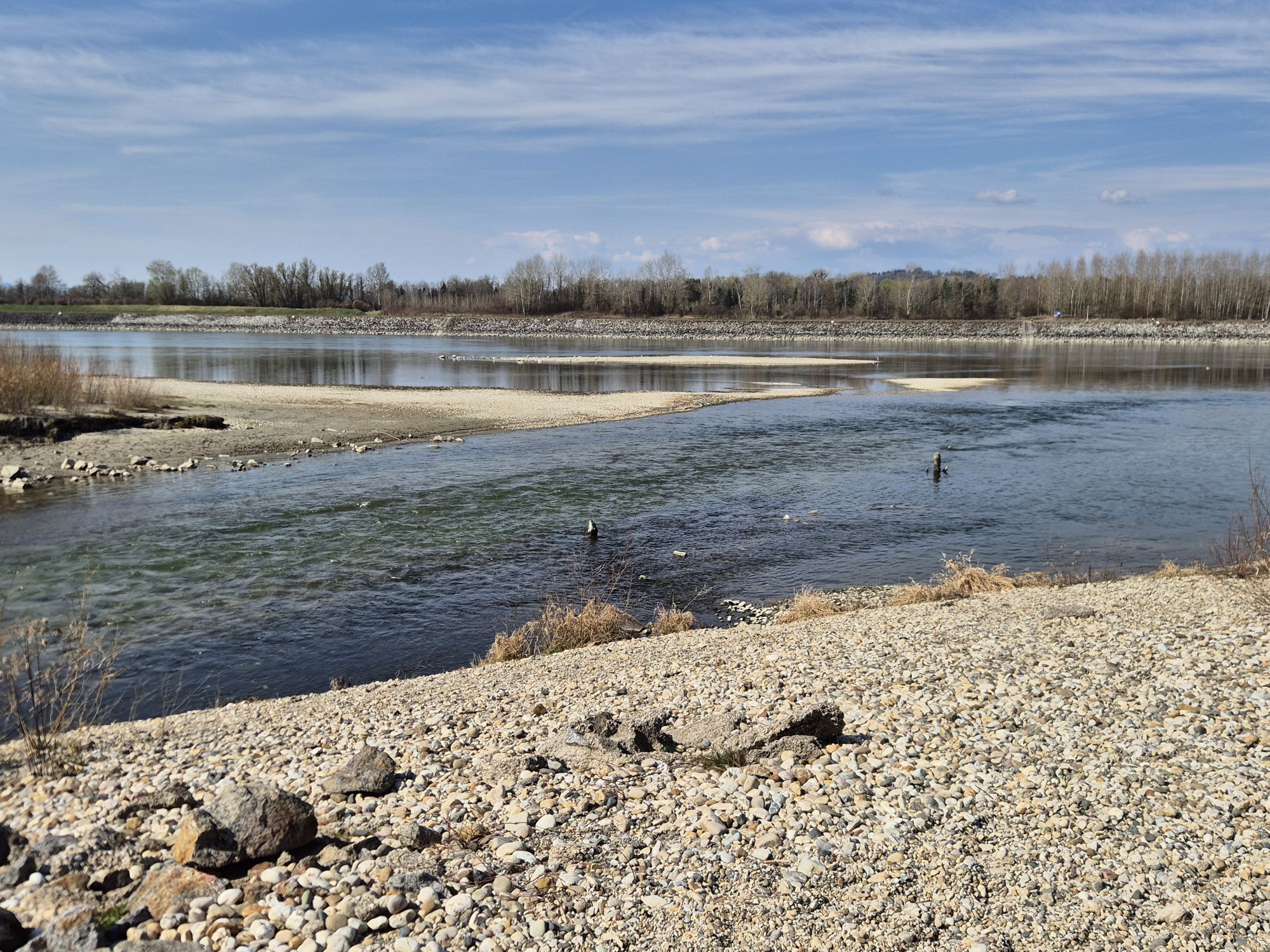
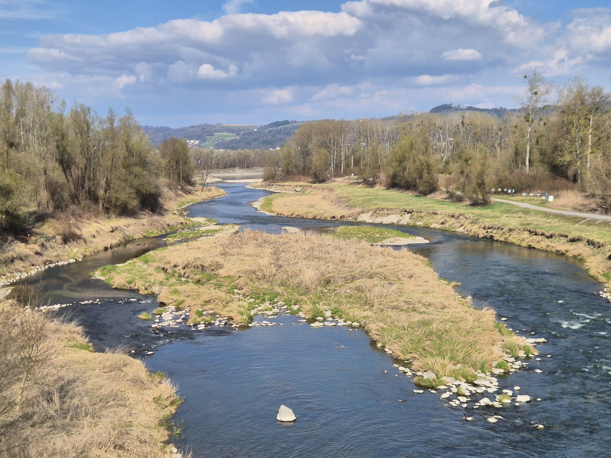
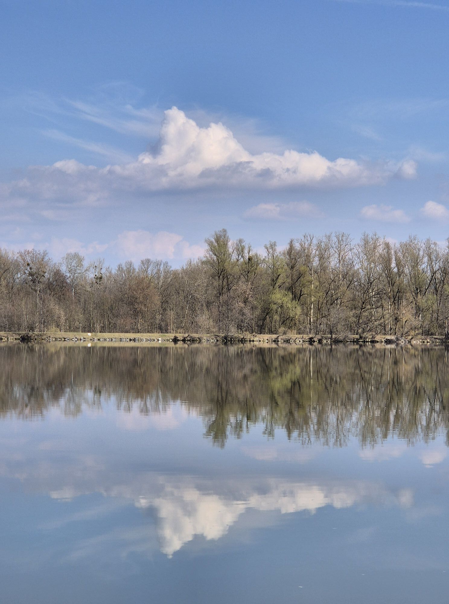
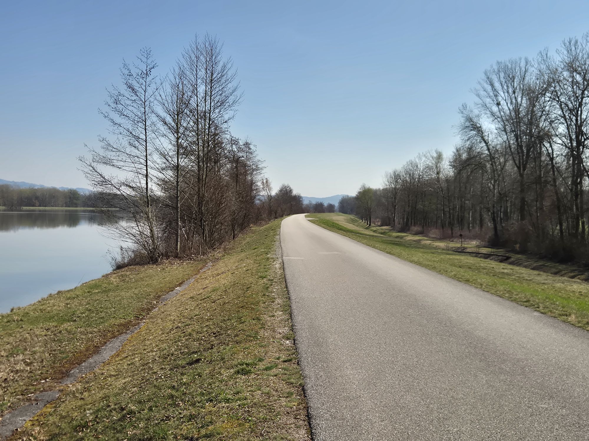
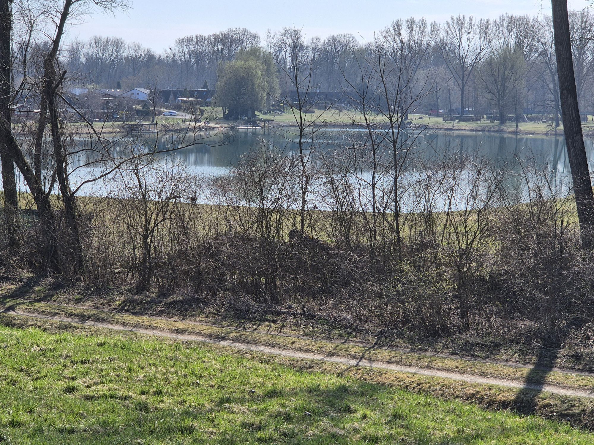
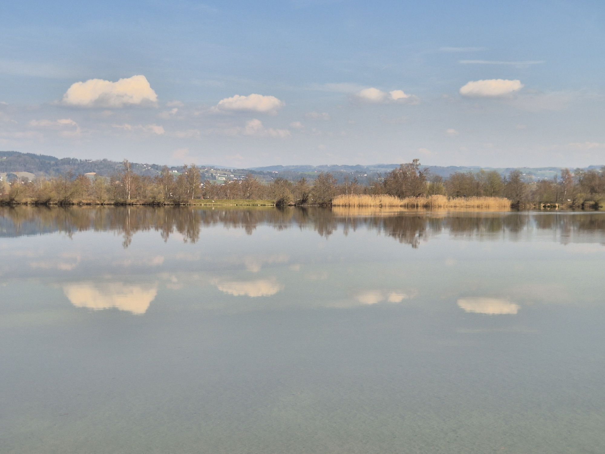
<p>Schlögen - Aschach - Wilhering - Ottensheim - Linz</p><p><strong>Route Description</strong></p><p>You start this route in Schlögen and always cycle along the south bank, through the wild romantic Danube valley (Natura 2000 protected area), which extends up to about Aschach. After about ten kilometers, shortly behind the Kobling-Obermühl ferry, the path forks and you keep left. From afar you can admire Schloss Neuhaus, which towers over the Danube on the opposite bank.</p><p>After some time, you pass Aschach, known for its Baroque row of houses. Here you can take a short rest and visit the old town center, the old parish church, and the Fishermen’s and Schopper Museum. Also visit the barrier-free cultural hiking trail in Aschach and learn more about the history of the Danube market. The route then continues southwards on the long-distance cycle path through the Eferding Basin – the vegetable cultivation region of Upper Austria, which extends to Wilhering. Here the slopes on the left and right of the river gradually disappear and the terrain becomes increasingly flat. In Brandstatt, a detour to Eferding and a visit to Schloss Starhemberg and Eferding town square are worthwhile.</p><p>You follow the Danube until you arrive in Wilhering. Here you can take the opportunity to visit Wilhering Abbey. Afterwards, take the ferry to Ottensheim on the northern bank and cycle on to the cathedral city of Linz.</p><p><strong>TIP:</strong> At the end of this stage, enjoy a train ride from Ottensheim to Linz on the Mühlkreisbahn. Timetable</p>
<p>On the Nibelungen Road (B130) to Schlögen.</p>
<p>By bus to the Schlögen Abzw. Innzell stop.</p>
<p>Parking options at Hotel Donauschlinge.</p>
Verantwortlicher für den Inhalt dieser Tour
WGD Donau Oberösterreich Tourismus GmbH
Letzte Aktualisierung: 23.11.2025
Also visit the barrier-free cultural hiking trail in Aschach and learn more about the history of the Danube market.
Kamery internetowe z trasy
Puchenau
Alkoven
Linz/Pöstlingberg
Stroheim/Stallberg
Stroheim/Stallberg
Stroheim/Stallberg
Linz - Arcotel Nike Linz
hello yellow Pumptrack/Velodrom
Mayrhofberg bei Stroheim
Mayrhofberg bei Stroheim
Mayrhofberg bei Stroheim
Mayrhofberg bei Stroheim
Schlögen - Donauschlinge
Aschach - Faustschlössl
hello yellow Pumptrack/Velodrom
hello yellow Pumptrack/Velodrom
Puchenau
Puchenau Achleitnersiedlung
Puchenau Achleitnersiedlung
Ottensheim - Dürnberg
Bahnhof Eferding
Leonding
Eferding - Maschinenring
Eferding/Wald&Gartenservice


Popularne wycieczki w okolicy
- 3,9
Kerzensteinwanderung im "Naturschutzgebiet Pesenbachtal"
średniWędrówka 4,16 km - 4,4
Haibach: CICONIA circular route
średniWędrówka 11,2 km - 4,6
Kirschblütenrunde Scharten
średniWędrówka 11,6 km - 4,2
Kirschblütenwanderung
światłoTrasa tematyczna 9,04 km - 4,7
Prinzensteig Rundweg
światłoWędrówka 13,7 km - 4,4
Ottensheim: Danube Panorama Route
średniWędrówka 8,14 km - 4,1
Donausteig stage 3_S05 Wilhering - Linz: “Over the Prinzensteig through the Linz Gate”
średnidługodystansowy szlak pieszy 13,2 km - 4,8
Danube Cycle Path Stage 2 South Bank: Schlögen - Linz
światłoKolarstwo długodystansowe 53 km - 4,5
Gramastetten: 3 Streams - 4 Mountains Route
Wędrówka 15,4 km - 4,4
Bleicherbachrunde
światłoWędrówka 9,06 km
Wędrówki i tropienie


Nie przegap ofert i inspiracji na następne wakacje
Twój adres e-mail została dodana do listy mailingowej.