







EL_W1 Skating loop western part of the lake
Poziom trudności: 2
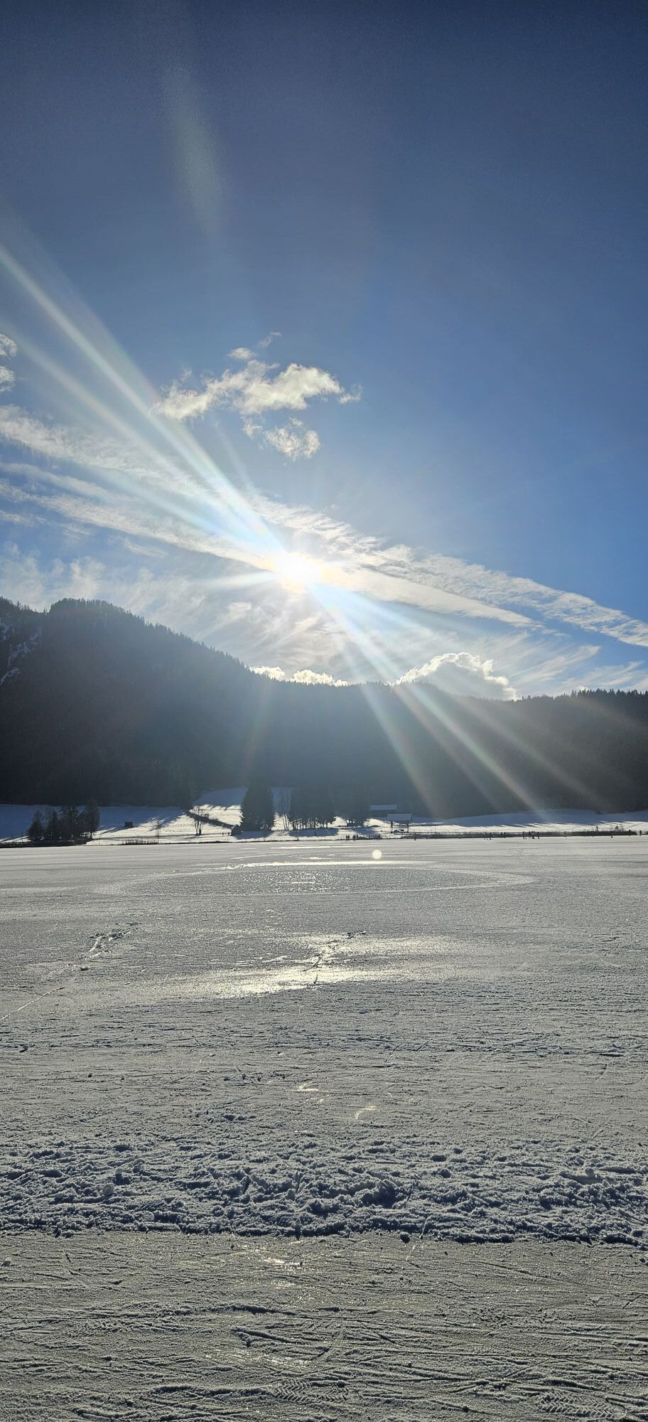
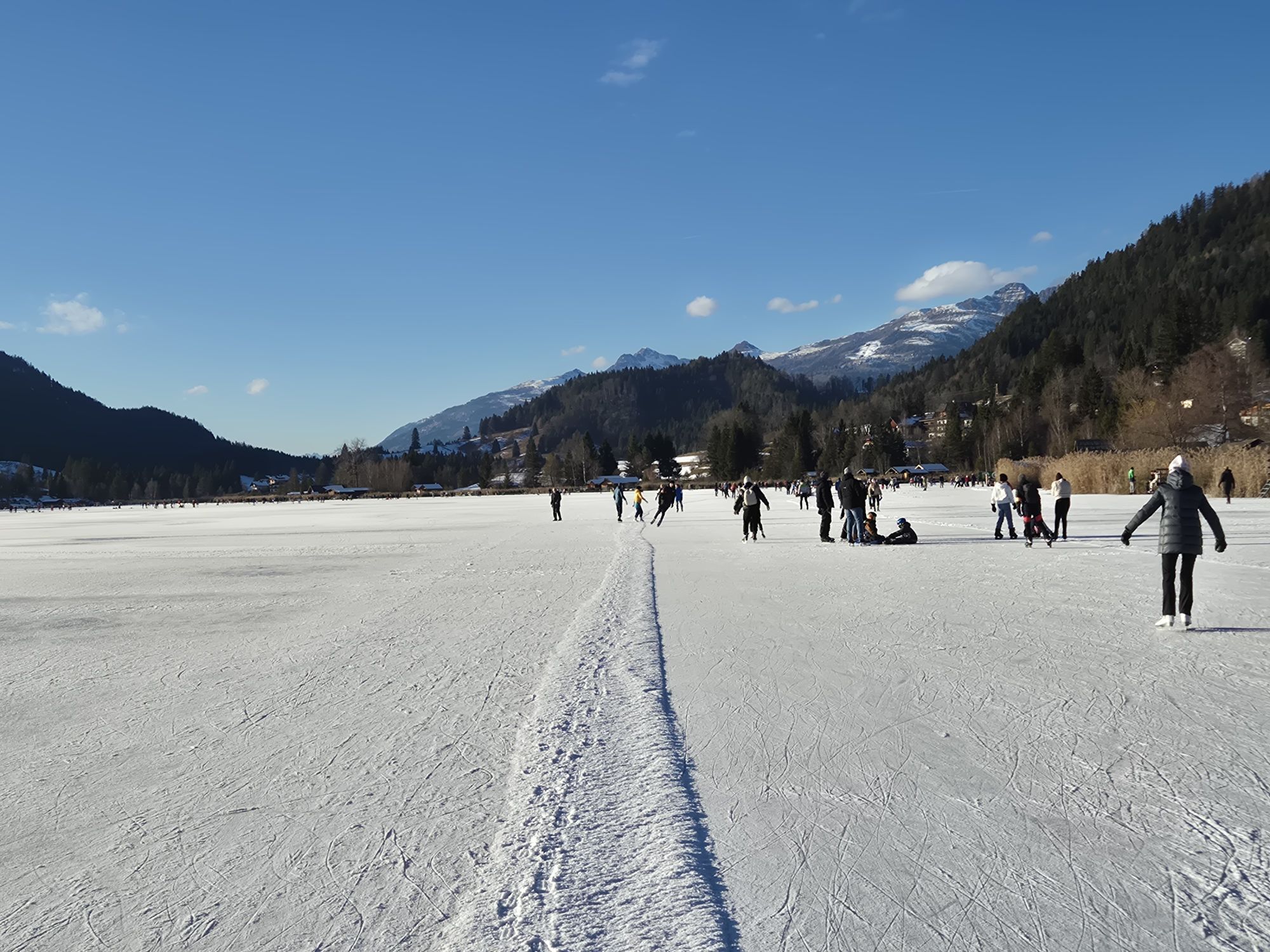
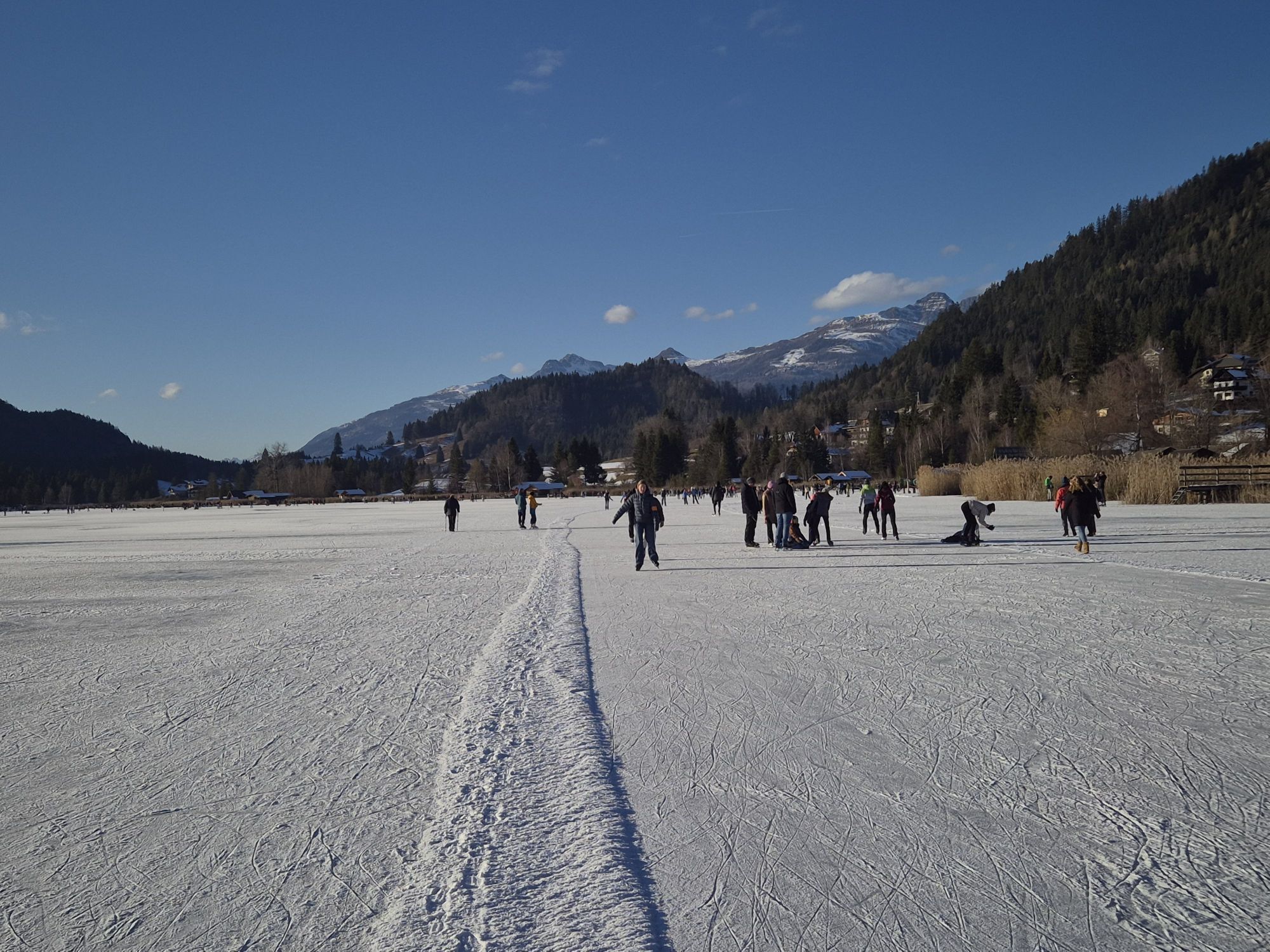
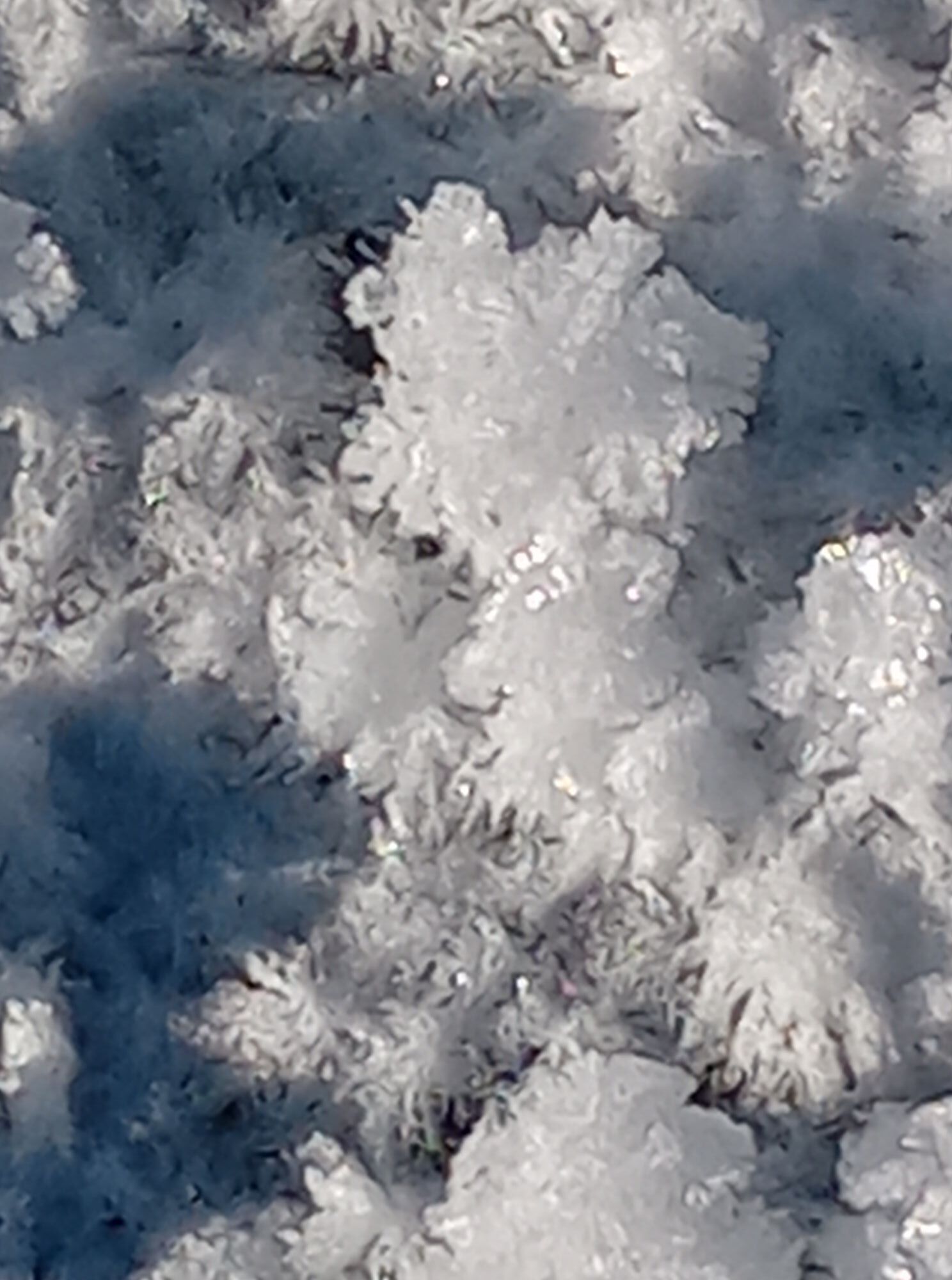
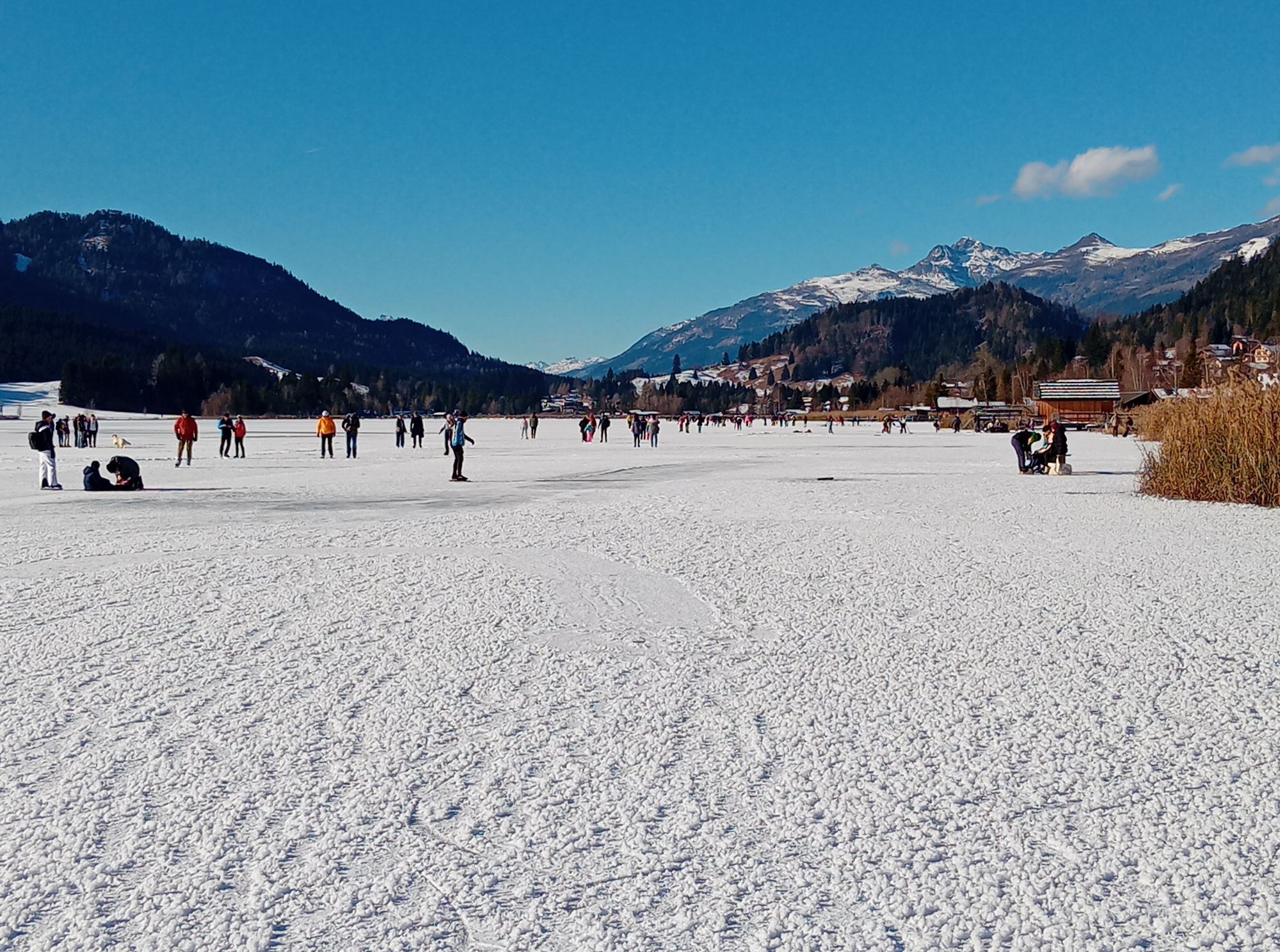
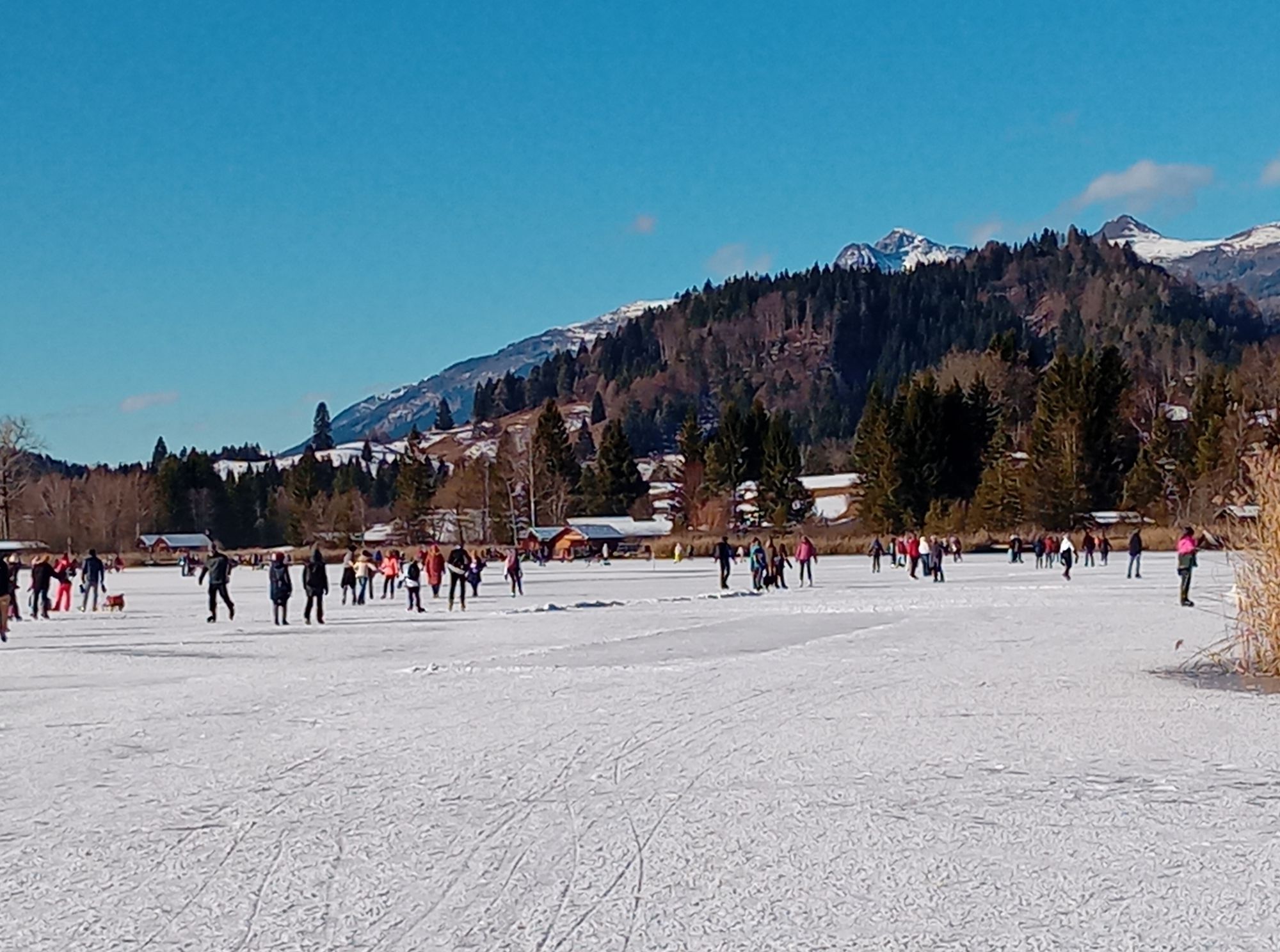
The Weissensee is the skating paradise par excellence. Fascinating natural ice, up to 25 km of perfectly groomed skating loops and a 400-meter track for speed skaters make every athlete's heart beat faster.
The...
The Weissensee is the skating paradise par excellence. Fascinating natural ice, up to 25 km of perfectly groomed skating loops and a 400-meter track for speed skaters make every athlete's heart beat faster.
The 6.5 square kilometer lake is located at 930 meters, reliably freezes over from mid-December, impresses with ice thickness of up to 40 centimeters, and scores about 70 skating days annually. This impressive statistic is thanks on one hand to the Weissensee's geographical location, and on the other hand to the "ice master" and his team who work with full commitment to ensure that the Weissensee can proudly claim the title "Europe's largest prepared natural ice surface."

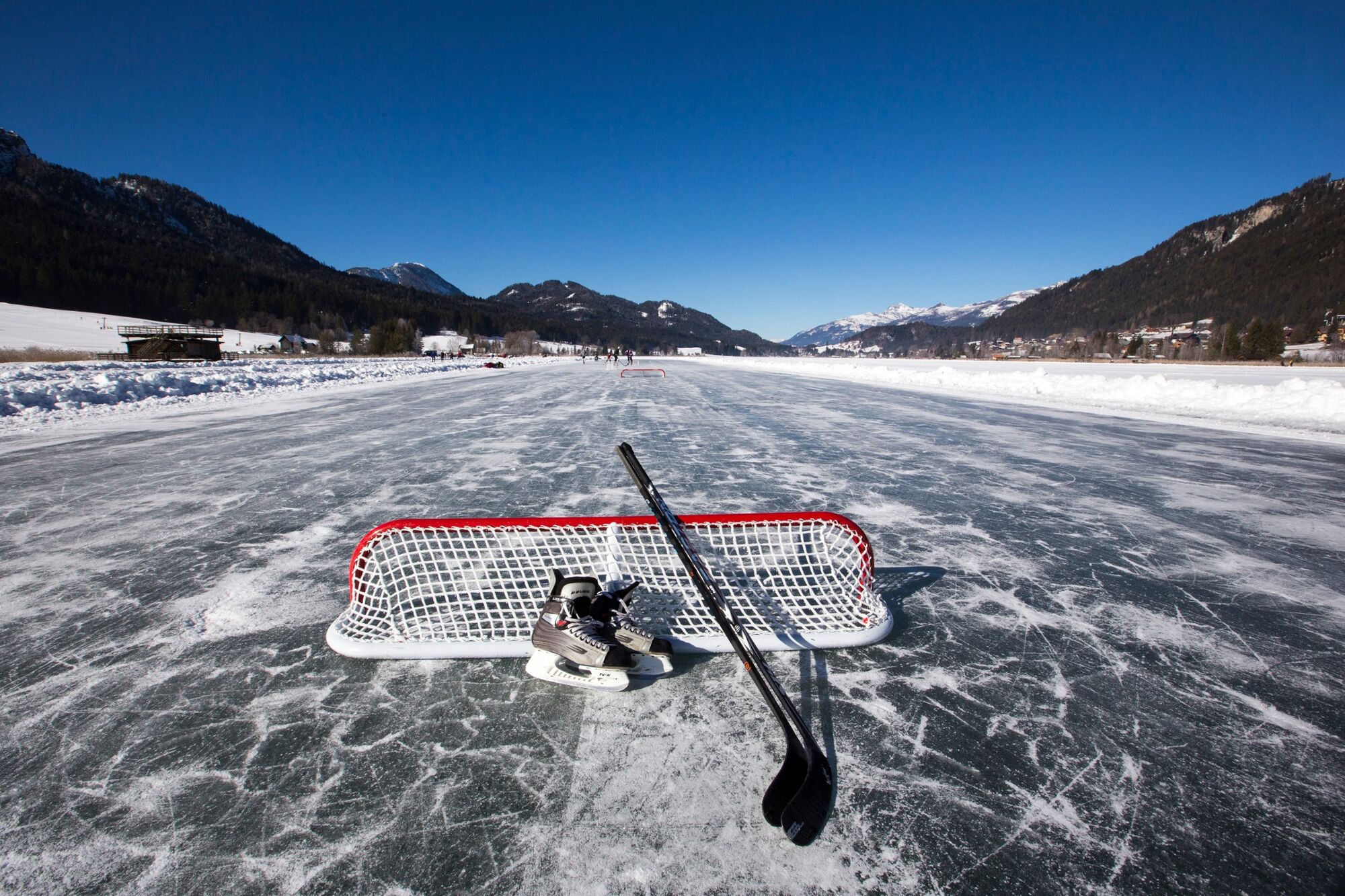
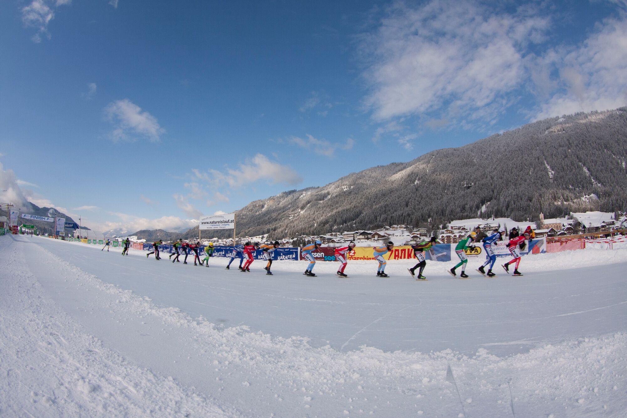

Loop directly on the ice of the Weissensee. West of the bridge, the track stretches from Techendorf to Praditz.
Tak
Attention: route only available when the ice surface is released!
From the north (D, NL, B, L, DK, SK): 1) Munich - Salzburg - Tauern motorway (A10) - Spittal junction - Greifenburg - Weissensee
2) Munich - Salzburg - Badgastein (train transport - Tauern lock) - Mallnitz - Möllbrücke - Greifenburg - Weissensee
3) Munich - Großglockner High Alpine Road - Heiligenblut - Winklern - Iselsberg - Oberdrauburg - Greifenburg - Weissensee
4) Munich - Mittersill - Felbertauern road - Lienz - Oberdrauburg - Greifenburg - Weissensee
From the west (CH, F, I): Innsbruck - Mittersill - Felbertauern road or Brenner motorway - Lienz - Oberdrauburg - Greifenburg - Weissensee
From the east (A, H): 1) South motorway (A2) - Villach - Spittal - Greifenburg - Weissensee or Villach - direction Italy until Hermagor/Gailtal exit - Hermagor - Weissensee 2) West motorway (A1) - Salzburg - Tauern motorway (A10) - Spittal junction - Greifenburg - Weissensee
From the south (I, SLO, HR): 1) Udine - Tarvisio - Hermagor/Gailtal exit - Hermagor - Weissensee 2) Ljubljana - Karawanken tunnel - Villach - direction Italy until Hermagor/Gailtal exit - Hermagor – Weissensee
...by train
Travel comfortably and stress-free by train! Use the station shuttle service - it takes you from Greifenburg station to the Naturpark Weissensee, 10 km away. Shuttle reservations at: www.naturparkshuttle.com (reservation by 6 pm the day before at the latest)
At the public parking lot in Praditz - paid parking.
2
Uzyskaj wgląd
Zawsze na żywo z ponad 9 500 kamer internetowych. bergfex Jako użytkownik Pro, możesz teraz zobaczyć odpowiednie kamery internetowe dla wielu wycieczek w aplikacji wycieczki od. Pozwala to na bezpośredni podgląd aktualnych warunków.
Popularne wycieczki w okolicy
-
4,9
W10 - Large lake round - Weissensee
ciężkiMountainbike 31,5 km -
4,8
RW_N9 Weißenbachklamm
średniWędrówka 7,49 km -
4,8
Parkplatz Seetal - STAFF und retour
średniWędrówka 13,2 km -
4,7
W5 - Naggler Alm Round Weissensee
średniMountainbike 15,8 km -
4,9
Weissensee Ost- nach Westufer
światłoWędrówka 10,2 km -
4,7
Drau Cycle Path R1
światłoJazda na rowerze 75,9 km -
4,4
WY_W2 hike to the Alm behind the Brunn
średniWędrówka zimą 3,04 km -
5,0
Bodenalm - Ostufer - mit dem Schiff zurück
Mountainbike 19,1 km -
4,9
Weiße Wand - Alm hinterm Brunn
Mountainbike 22,1 km -
4,0
Emberger Alm - Hochtristen
średniWędrówka 9,50 km
Wędrówki i tropienie


Nie przegap ofert i inspiracji na następne wakacje
Twój adres e-mail została dodana do listy mailingowej.





