







WY_N4 Plon-Buchach
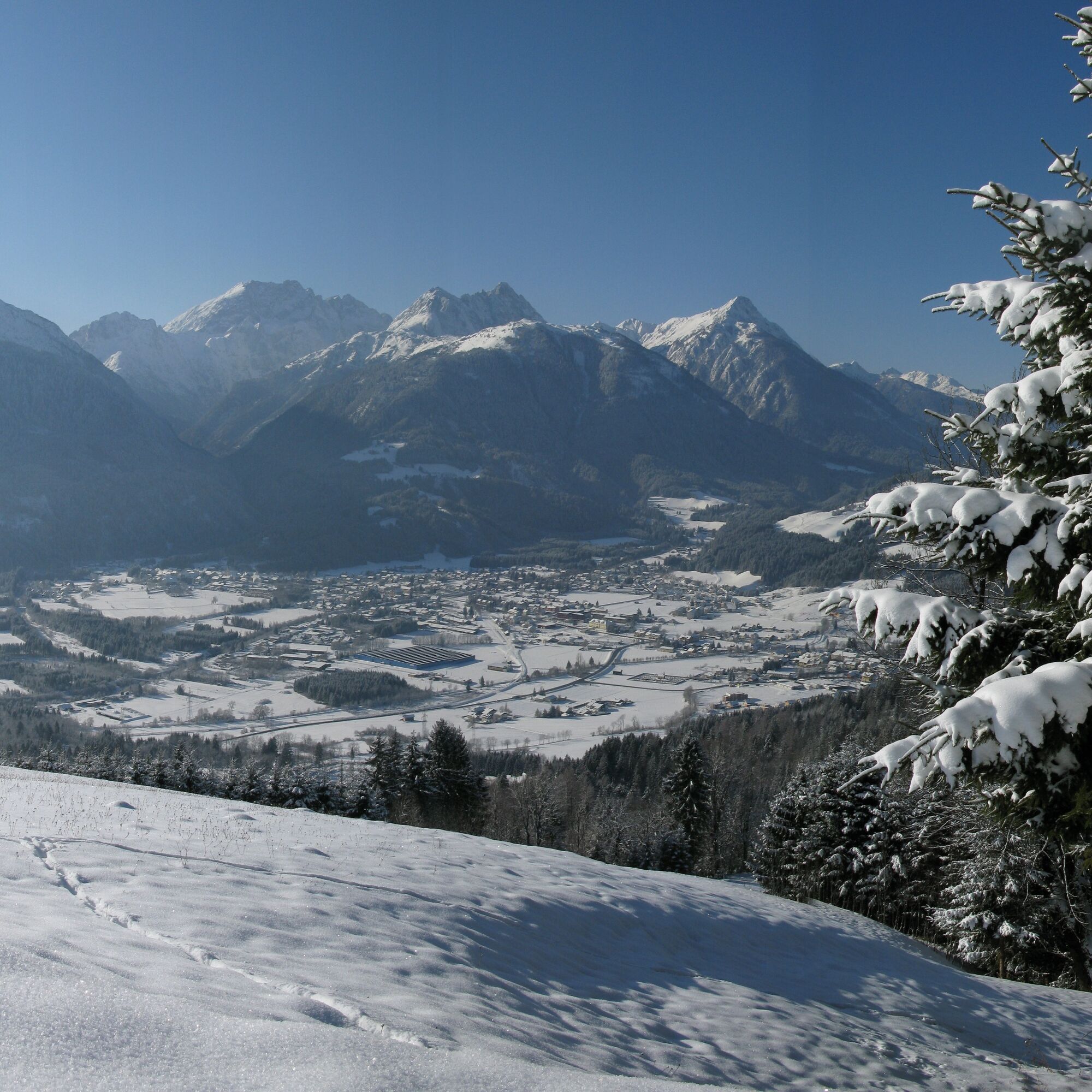
The winter hike takes you in Kötschach-Mauthen to the south side of the Gailtal Alps – with a beautiful panoramic view into the Gail valley and the Carnic Alps.


Starting point:
Starting from the town hall in Kötschach-Mauthen, your path initially leads directly along B110 towards Gailberg, before you turn right into the side street at the first large fountain after a few minutes' walk.
Your path now takes you between houses and open spaces to the L21a (near the cemetery) - you follow the road for a few meters to the right, cross the road, and turn left into the side street towards Mandorf.
The route then leads you across open spaces with views of Kötschach-Mauthen past Mandorf Castle (the castle is located to the right of the side street).
Following the side street, you now steadily ascend slightly through forested sections, continuing towards Plon.
At the end of the ascent, you reach the wide plain and the farms of Plon and Buchach lying on it, where you can fully enjoy the great view.
The return route follows the same side street as the outbound path (the time for the return is not included in the indicated 2 hours).
Tak
FAIR PLAY & RESPECT:
Awareness for nature – landowners – your health… and safety in the mountains have the highest priority during your route and associated route planning!
Therefore, before each winter hike, check the rules of conduct - Mountain Safety, as well as the current snow and avalanche report Carinthian Avalanche Warning Service and the weather conditions.
Waste disposal:
Waste is not always avoidable – but it has no place in nature and must be disposed of properly (preferably in the valley or at home).
Emergency numbers:
European emergency number: 112 (accessible in any available network)
Mountain Rescue Austria: 140
Arrival by car:
From Hermagor via the B111 (Gailtal Road) or from Oberdrauburg via the B110 (Plöcken Pass Road) to Kötschach-Mauthen.
The most sustainable travel option is by train to Oberdrauburg (coming from Lienz or Villach) or to Hermagor (coming from Villach).
From Oberdrauburg or Hermagor, you can then reach the town of Kötschach-Mauthen by bus.
Details available at - Mobility Info Nassfeld and Kärntner Linien route planner
Free parking is available in Kötschach-Mauthen at the town hall and at the valley station of the Vorhegg cable cars.
Are you looking for more winter hiking routes in the region?
You can find this and much more information at - Route Tips
In the town center of Kötschach-Mauthen, there are numerous year-round open dining options - details available at Service A-Z
The route runs on a paved and cleared access road.
Kamery internetowe z trasy
Uzyskaj wgląd
Zawsze na żywo z ponad 9 500 kamer internetowych. bergfex Jako użytkownik Pro, możesz teraz zobaczyć odpowiednie kamery internetowe dla wielu wycieczek w aplikacji wycieczki od. Pozwala to na bezpośredni podgląd aktualnych warunków.
Popularne wycieczki w okolicy
-
4,8
Pirknerklamm (C)
średniVia ferrata 2 km -
4,7
Drau Cycle Path R1
światłoJazda na rowerze 75,9 km -
4,9
Karnischer Hauptkamm - Hohe Warte 2.780m - Hike and Bike
ciężkiWycieczki górskie 19,5 km -
4,3
Mountain bike route from the Hubertus Chapel to the Wolayersee
ciężkiMountainbike 9,06 km -
3,7
Cellon-Stollen und Senza Confini auf den Cellon und Steinberger Weg zum Abstieg
średniVia ferrata 7,09 km -
3,6
RW_N61 Kleiner Pal (1,867 m)
ciężkiWędrówka 6,52 km -
5,0
Valentin-Wolayersee-Runde
średniWędrówka 12,4 km -
4,3
WW_N18 flower paradise Mussen
średniWędrówka 6,52 km -
5,0
Plöckenhaus - Polinik - Plöckenhaus
ciężkiWędrówka 10,9 km -
4,1
Assing - Oberraster Alm - Lumkofel (2,287 m)
średniWędrówka 9,45 km
Wędrówki i tropienie


Nie przegap ofert i inspiracji na następne wakacje
Twój adres e-mail została dodana do listy mailingowej.





