







Flower paradise Mussen WW_N18
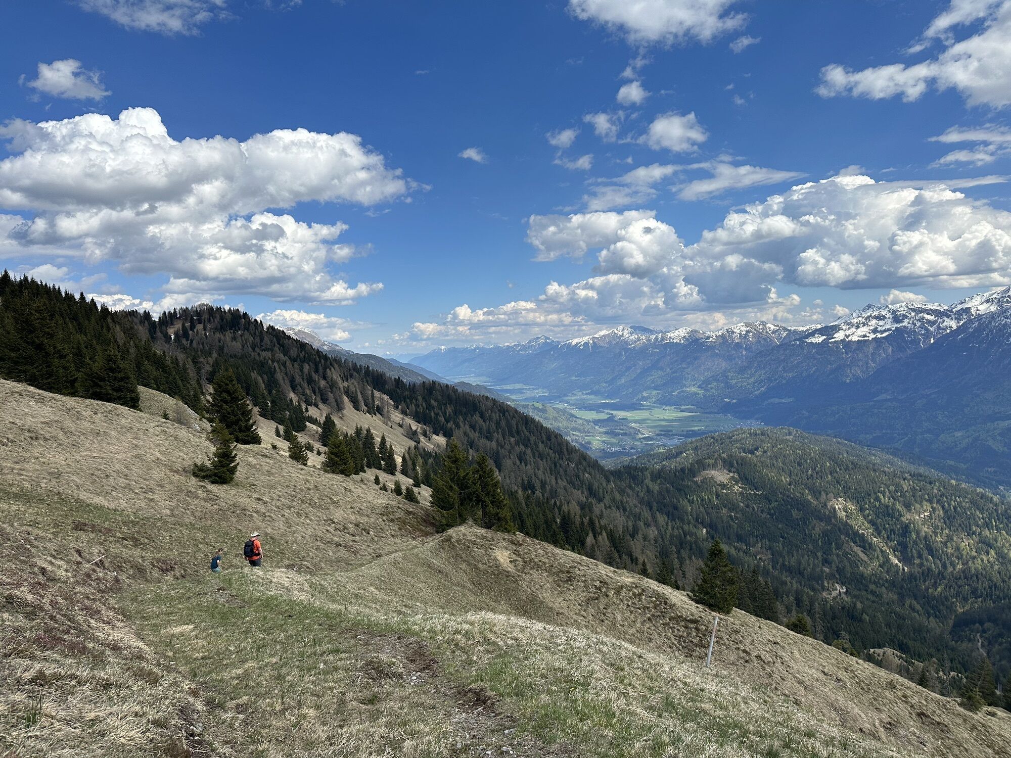
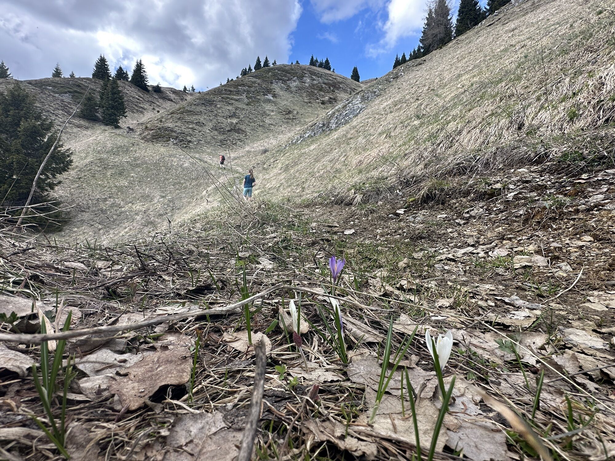
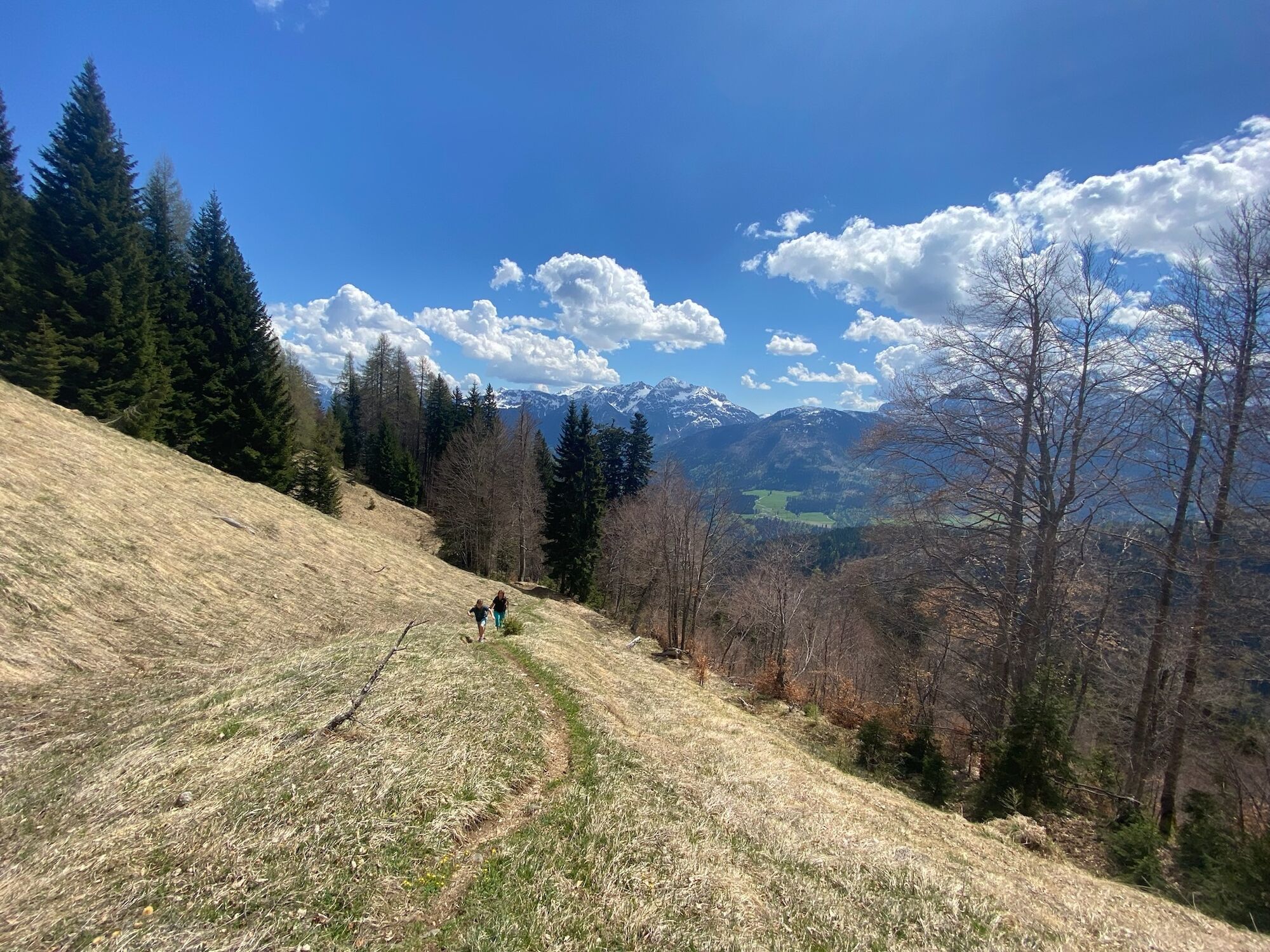
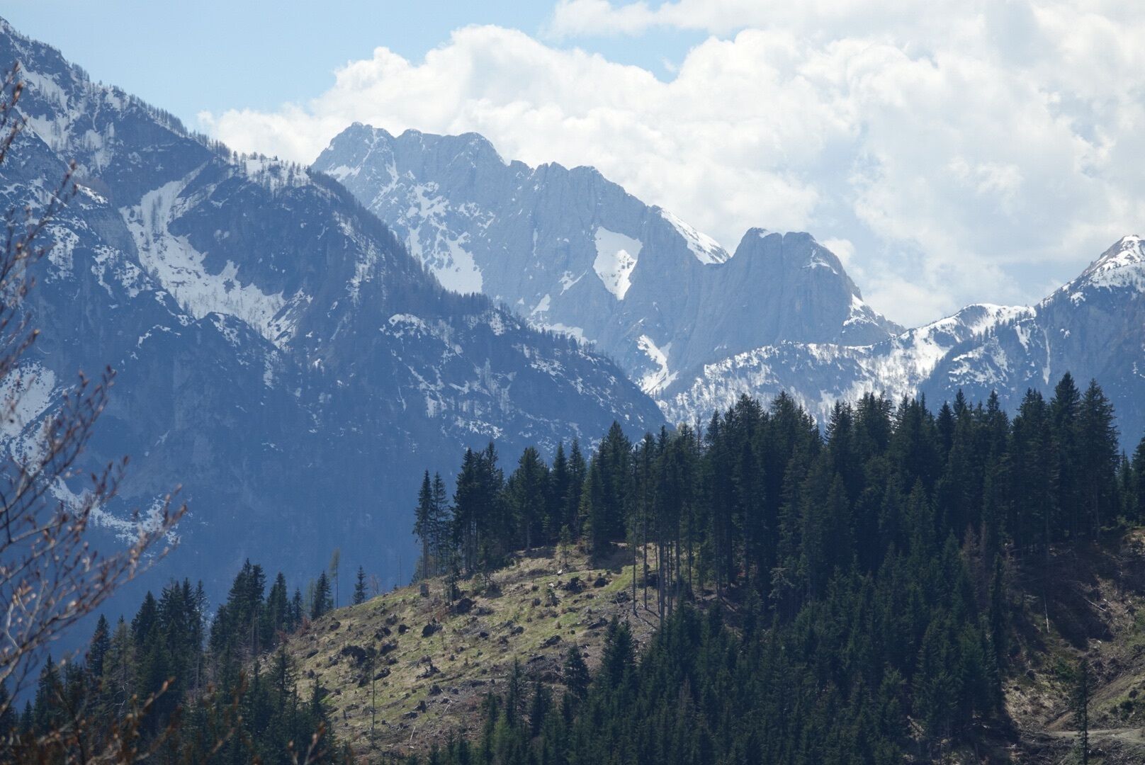
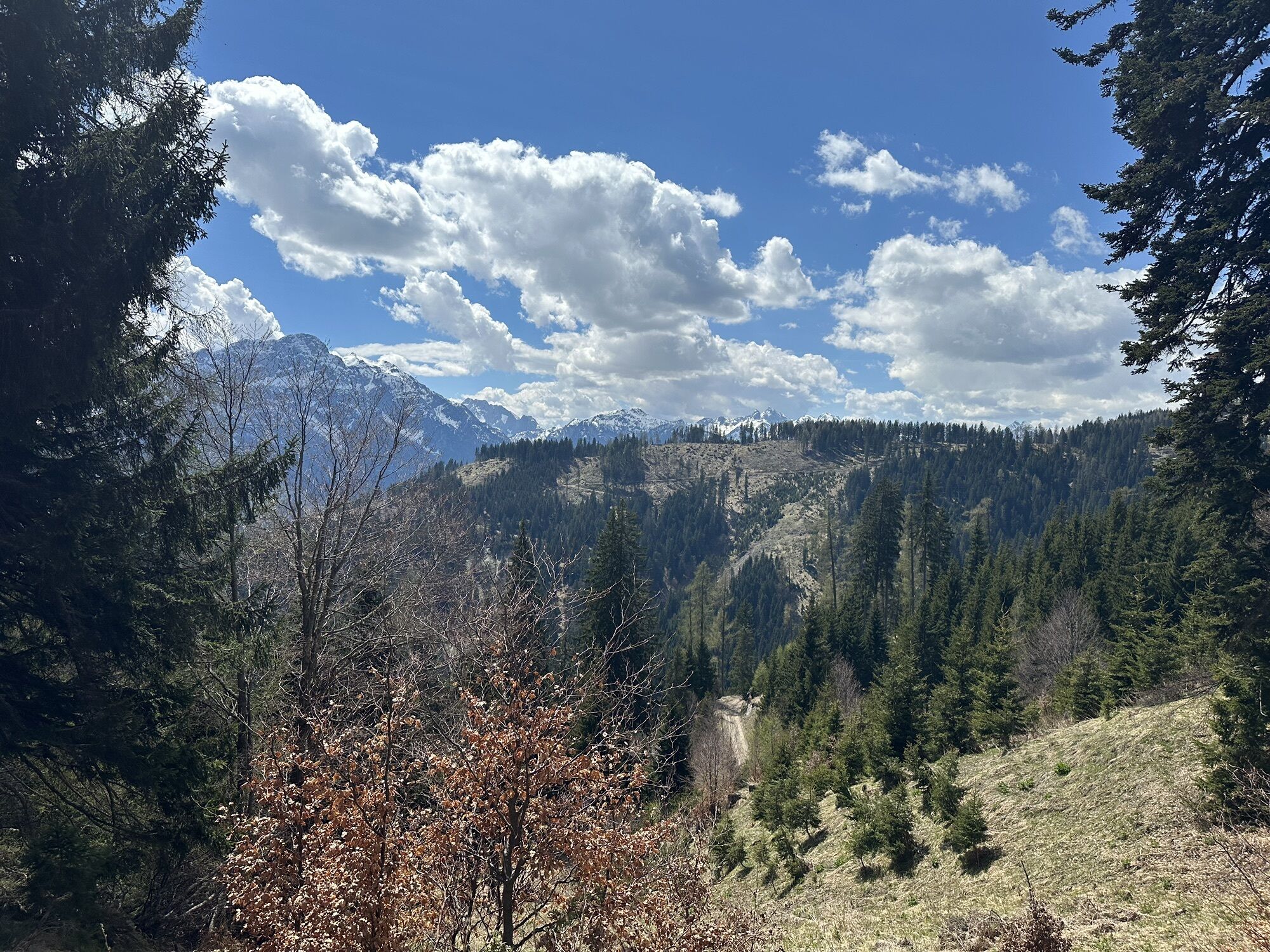
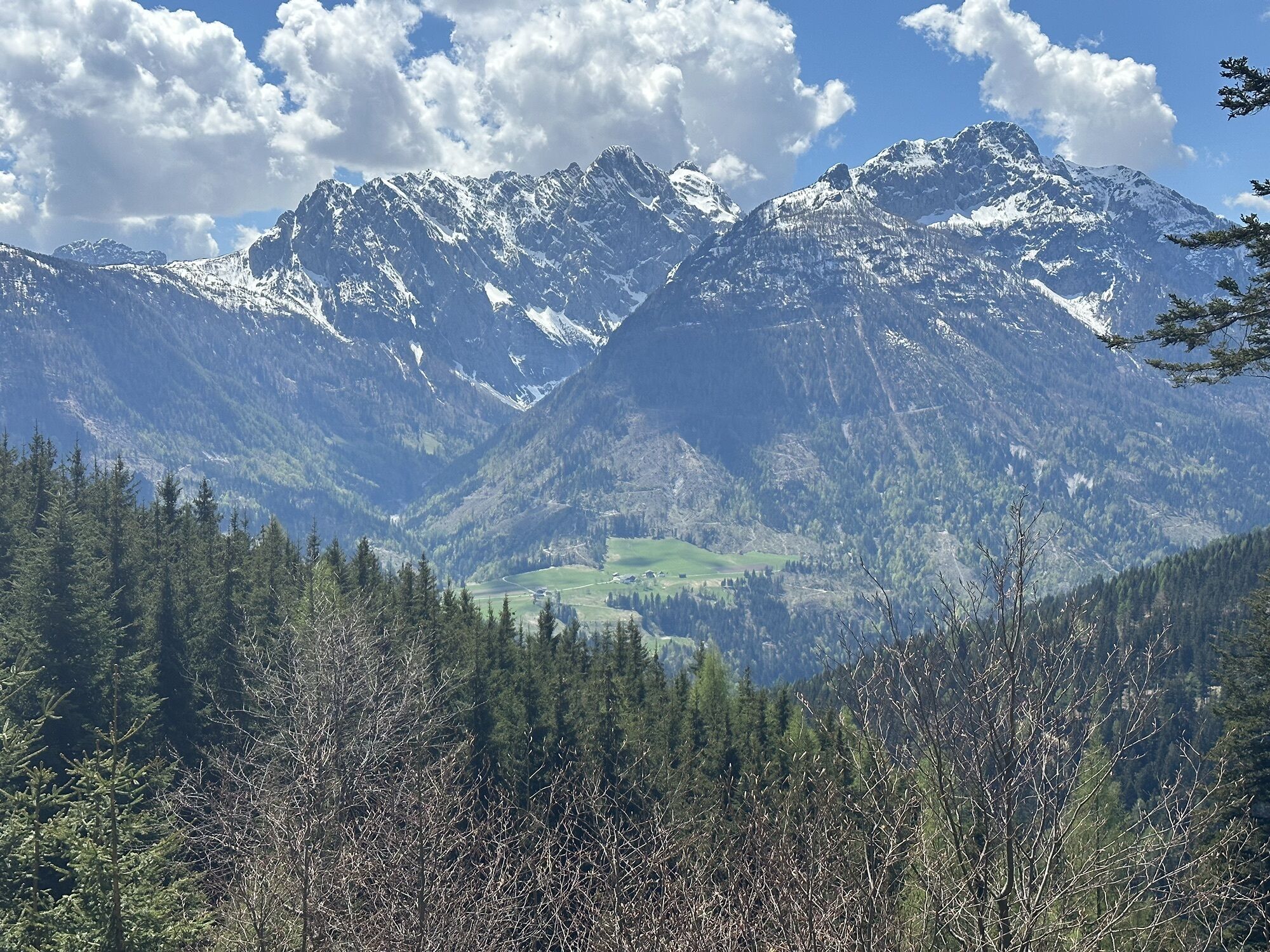
The hike to the Mussen offers special memories for every nature lover - great views, remarkable flora, and tranquility - just a few minutes from Kötschach-Mauthen you immerse yourself in this special landscape...
The hike to the Mussen offers special memories for every nature lover - great views, remarkable flora, and tranquility - just a few minutes from Kötschach-Mauthen you immerse yourself in this special landscape in the middle of the Gailtal Alps.

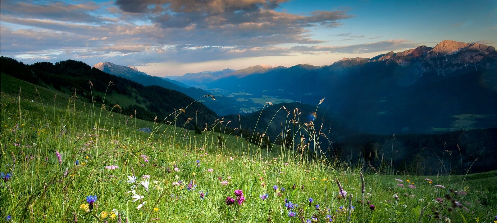
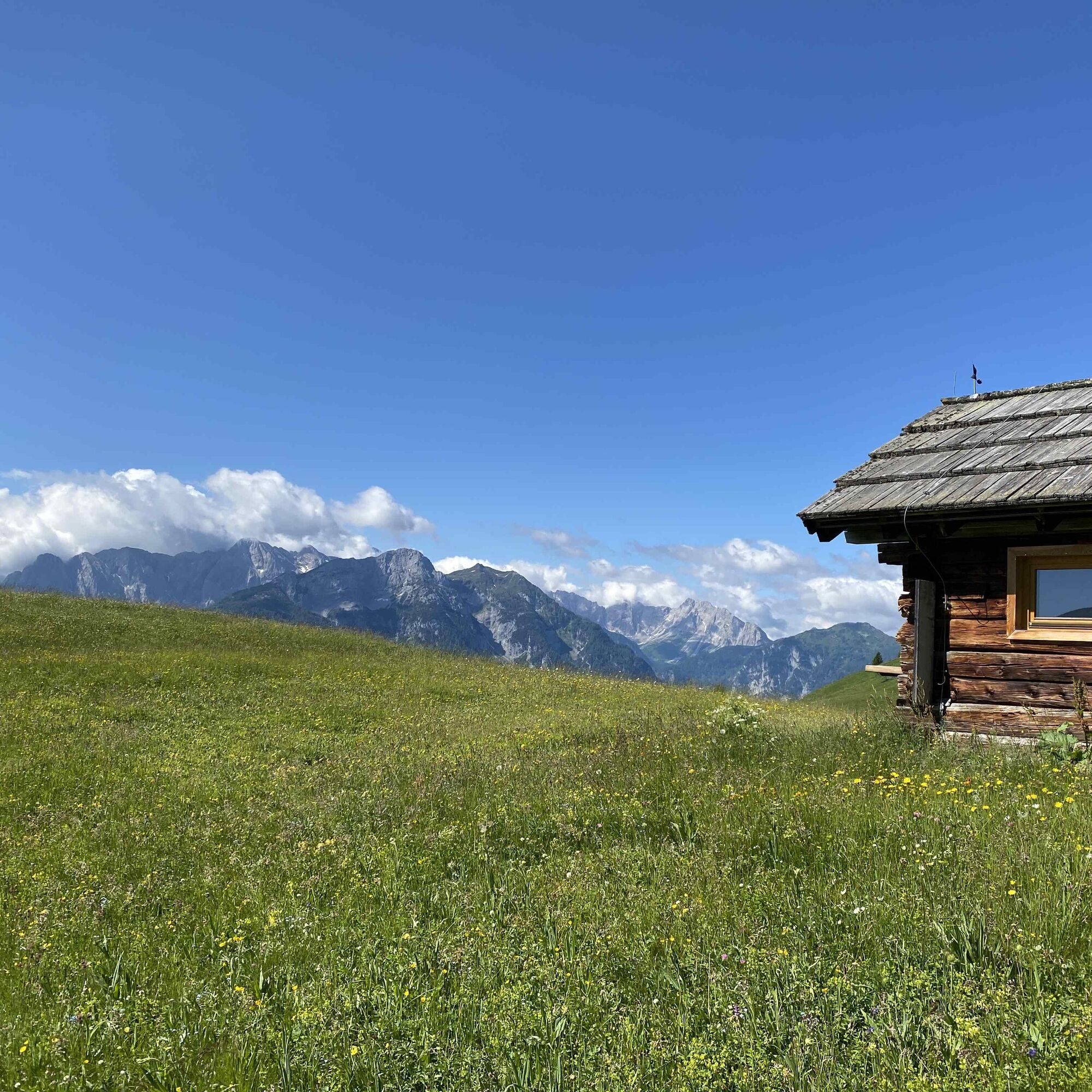

From Gailberghöhe, you hike southwards, parallel to the B110 over the meadows, before turning right at the first fork onto the uphill forest road. The path leads via some switchbacks, through the forest to the trail junction at Röthenkreuz. Once there, turn sharply right. At the next fork, keep right/straight in the thinning forest. The trail then continues straight ahead, northwestwards, over the large areas of the Mussen until you reach the destination of your hike.
Return route:
The indicated time includes the time needed for the outbound journey but not the return. You can use the same path for the return as you did for the outbound hike.
Tak
Sturdy shoes
Snacks and drinks
Clothing for all weather conditions
Mindfulness for nature - landowners - your health... and safety on the mountain have the highest priority for your tour and the associated tour planning!
Therefore, inform yourself before each hike about the behavior rules - Safety on the mountain - and the current weather conditions.
Waste disposal:
Waste is not always avoidable - but it has no place in nature and must be properly disposed of (preferably in the valley or at home).
Emergency numbers:
European emergency number: 112 (access to every available network)
Austrian alpine emergency number: 140
From Hermagor via the B111 (Gailtal road) to Kötschach-Mauthen and from there continue towards Oberdrauburg - via the B110 (Plöckenpass road) - to Gailberghöhe.
Or from Oberdrauburg via the B110 (Plöckenpass road) in the direction of Kötschach-Mauthen to Gailberghöhe.
From Oberdrauburg, you can then reach Gailberghöhe by bus.
From Hermagor, you take the bus to Kötschach-Mauthen and then change to the bus line to Oberdrauburg to further reach Gailberghöhe.
Details at - Mobility info Nassfeld and Route planner Carinthian Lines
Please observe any notices from property owners.
You can find this and much more information at - Tour tips and provider info
In Kötschach-Mauthen and Würmlach, as well as the surrounding villages, there are year-round open dining options - details at Service A-Z.
The hike can also be very well combined with the circular hike Laas-Röthen-Gailberg.
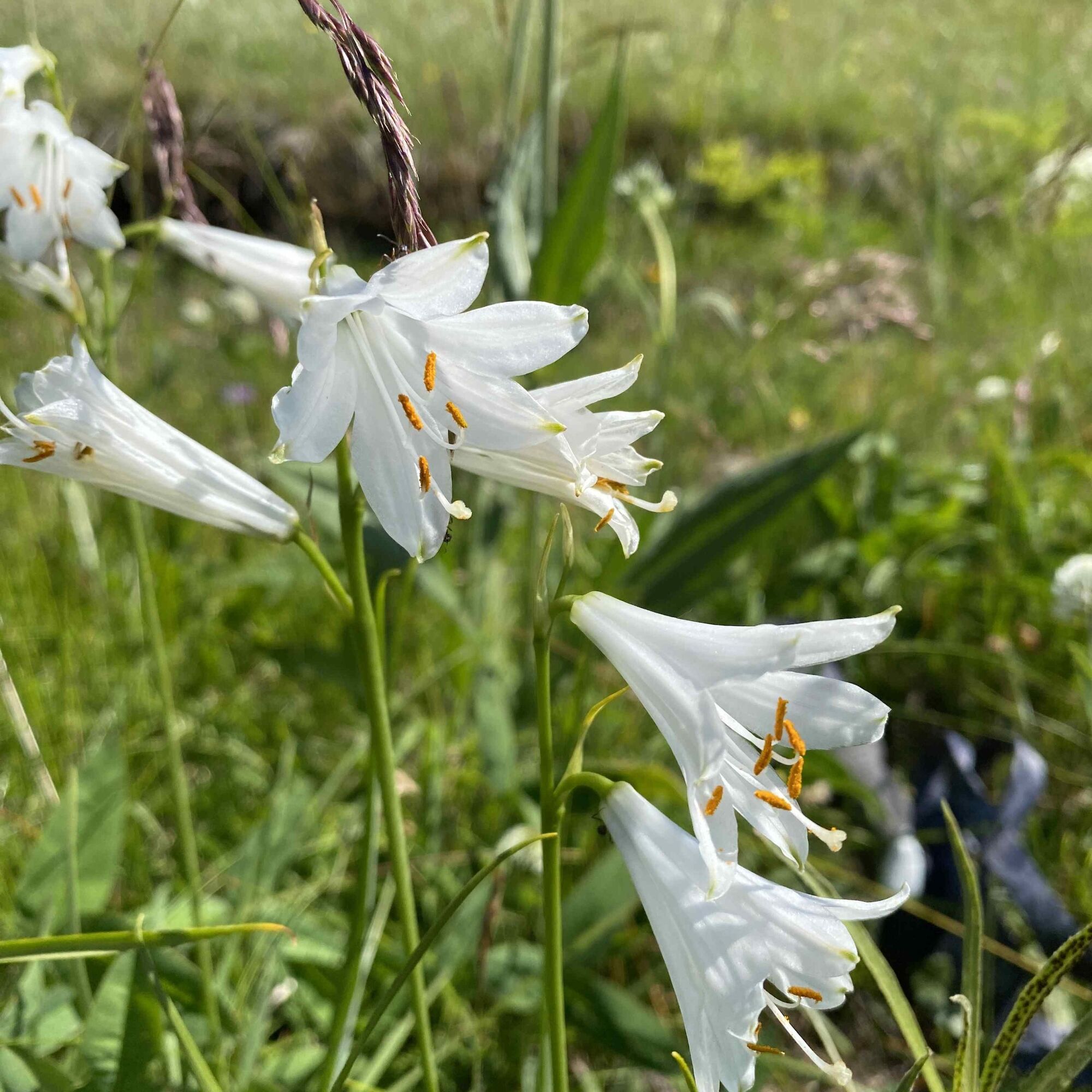
The Mussen is a nature reserve with the largest alpine plant diversity in Europe - more than 500 plant species, 280 higher plants, orchid and lily meadows can be found here.
 Uzyskaj wgląd
Zawsze na żywo z ponad 9 500 kamer internetowych. bergfex Jako użytkownik Pro, możesz teraz zobaczyć odpowiednie kamery internetowe dla wielu wycieczek w aplikacji wycieczki od. Pozwala to na bezpośredni podgląd aktualnych warunków.
Uzyskaj wgląd
Zawsze na żywo z ponad 9 500 kamer internetowych. bergfex Jako użytkownik Pro, możesz teraz zobaczyć odpowiednie kamery internetowe dla wielu wycieczek w aplikacji wycieczki od. Pozwala to na bezpośredni podgląd aktualnych warunków.

Popularne wycieczki w okolicy
-
5,0
Ederplan round from the parking lot Stronach
średniWędrówka 7,19 km -
4,7
Karlsbader Hütte über Rudl-Eller-Weg
ciężkiWędrówka 5,10 km -
4,5
Karnischer Höhenweg – Etappe 4: Hochweißsteinhaus – Wolayersee Hütte
ciężkidługodystansowy szlak pieszy 15,9 km -
4,9
Lienzer Dolomiten-Lasertörl
średniWędrówka 13,2 km -
4,8
Pirknerklamm (C)
średniVia ferrata 2 km -
4,7
Karlsbader Hütte
średniMountainbike 13,4 km -
4,5
Obergail - Obergailer Alm - Obergailer Lake - Enderberg hut - Source for Health & Peace - Madonna circular hiking route - Obergail
średniWędrówka 11,4 km -
4,9
Karnischer Hauptkamm - Hohe Warte 2.780m - Hike and Bike
ciężkiWycieczki górskie 19,5 km -
3,9
Summit hike to the Hochstadel
średniWędrówka 7,83 km -
4,3
Mountain bike route from the Hubertus Chapel to the Wolayersee
ciężkiMountainbike 9,06 km
Wędrówki i tropienie


Nie przegap ofert i inspiracji na następne wakacje
Twój adres e-mail została dodana do listy mailingowej.





