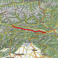
Karnischer Höhenweg – Etappe 4: Hochweißsteinhaus – Wolayersee Hütte

© (c) Profer & Partner - Tourismusinfo Nassfeld-Pressegger See
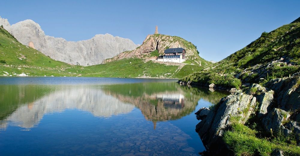
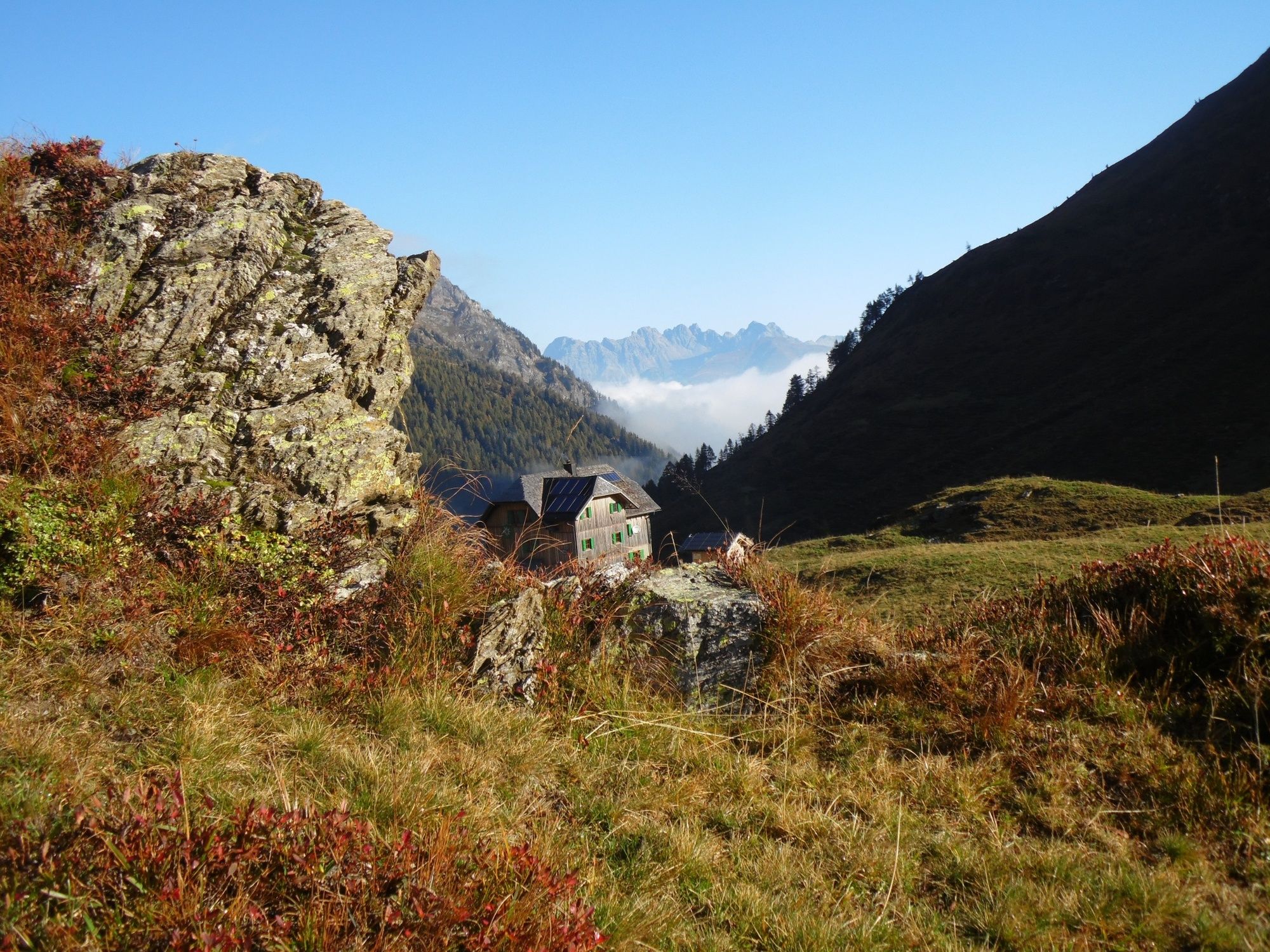
© Hochweißsteinhaus - Tourismusinfo Nassfeld-Pressegger See
© Hochweißsteinhaus - Tourismusinfo Nassfeld-Pressegger See
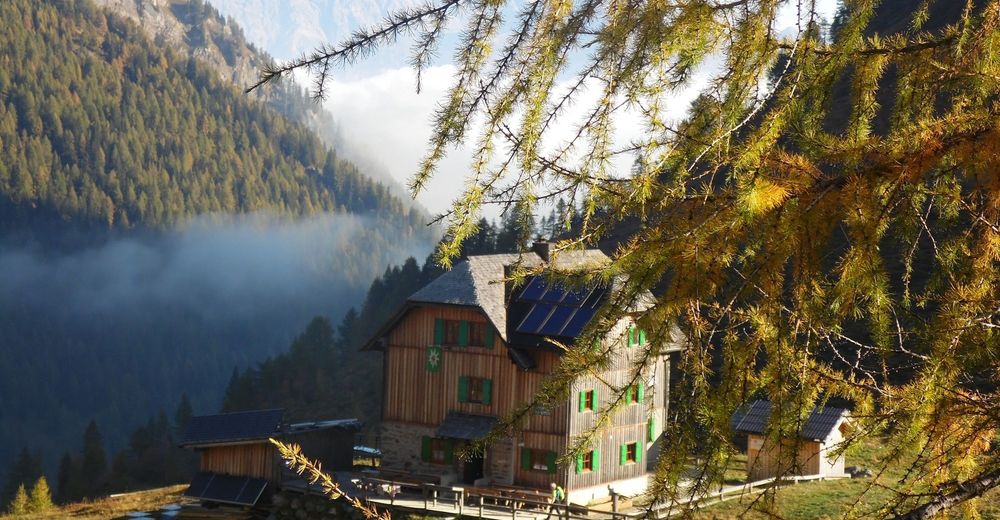
© NLW Tourismus Marketing GmbH - Tourismusinfo Nassfeld-Pressegger See

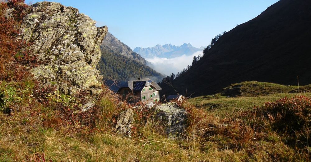
© (c) Profer & Partner - Tourismusinfo Nassfeld-Pressegger See

- Krótki opis
-
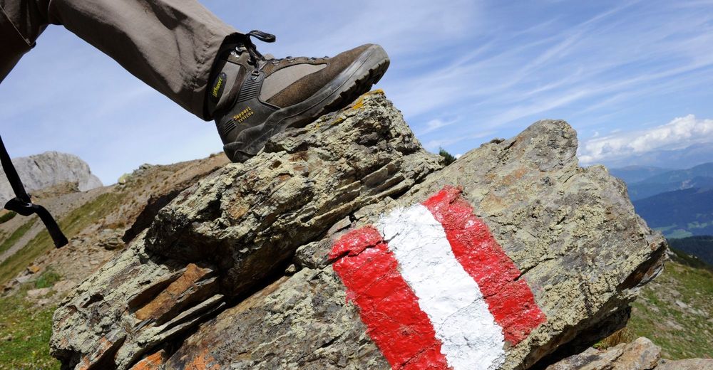
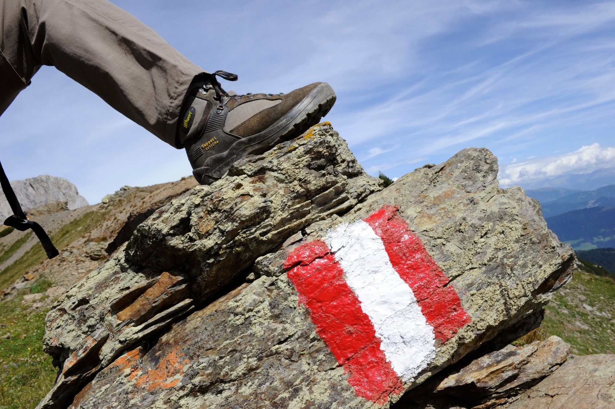
The Karnische Höhenweg or "Friedensweg" leads along the entire Karnische Kamm, which runs along the border between Austria and Italy.
- Stopień trudności
-
ciężkie
- Ocena
-
- Trasa
-
Casera Sissanis di Sotto6,8 kmCasera Sissanis di sopra7,5 kmSella Sissanis (1.987 m)8,8 kmGiramondopass (2.005 m)10,8 kmBimbaumer Törl (2.080 m)15,7 kmWolayerseehütte15,9 km
- Najlepszy sezon
-
stylutmarkwimajczelipsiewrzpaźlisgru
- Najwyższy punkt
- 2.118 m
- Miejsce docelowe
-
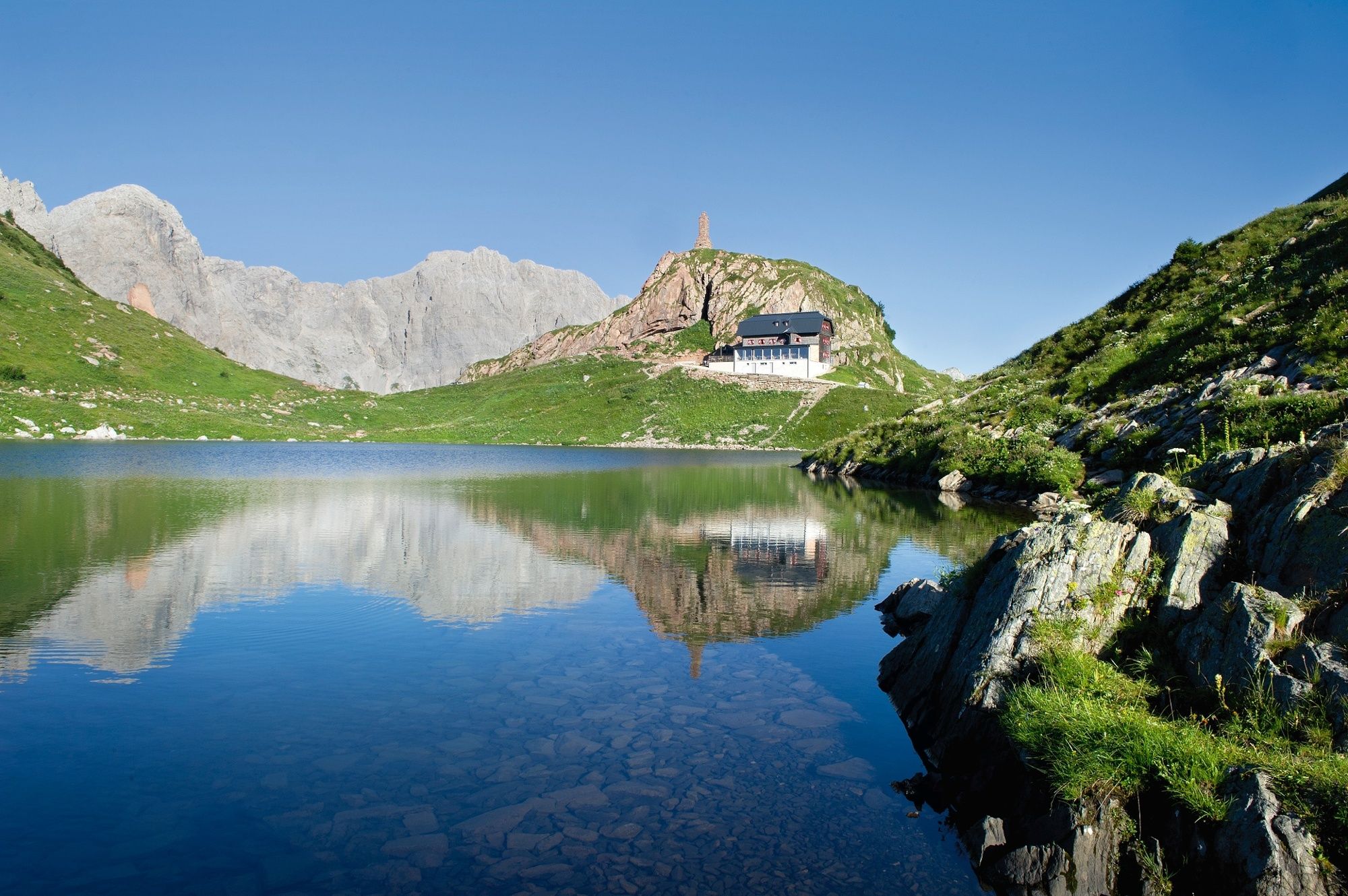
Wolayersee Hütte
- Profil wysokości
-


- Autor
-
Wycieczka Karnischer Höhenweg – Etappe 4: Hochweißsteinhaus – Wolayersee Hütte jest używany przez outdooractive.com pod warunkiem.
GPS Downloads


Informacje ogólne
Przystanek odświeżania
Kulturalny/Historyczny
Flora
Fauna
Obiecujący
Więcej wycieczek w regionach