


Gartnerkofel - sunrise hike

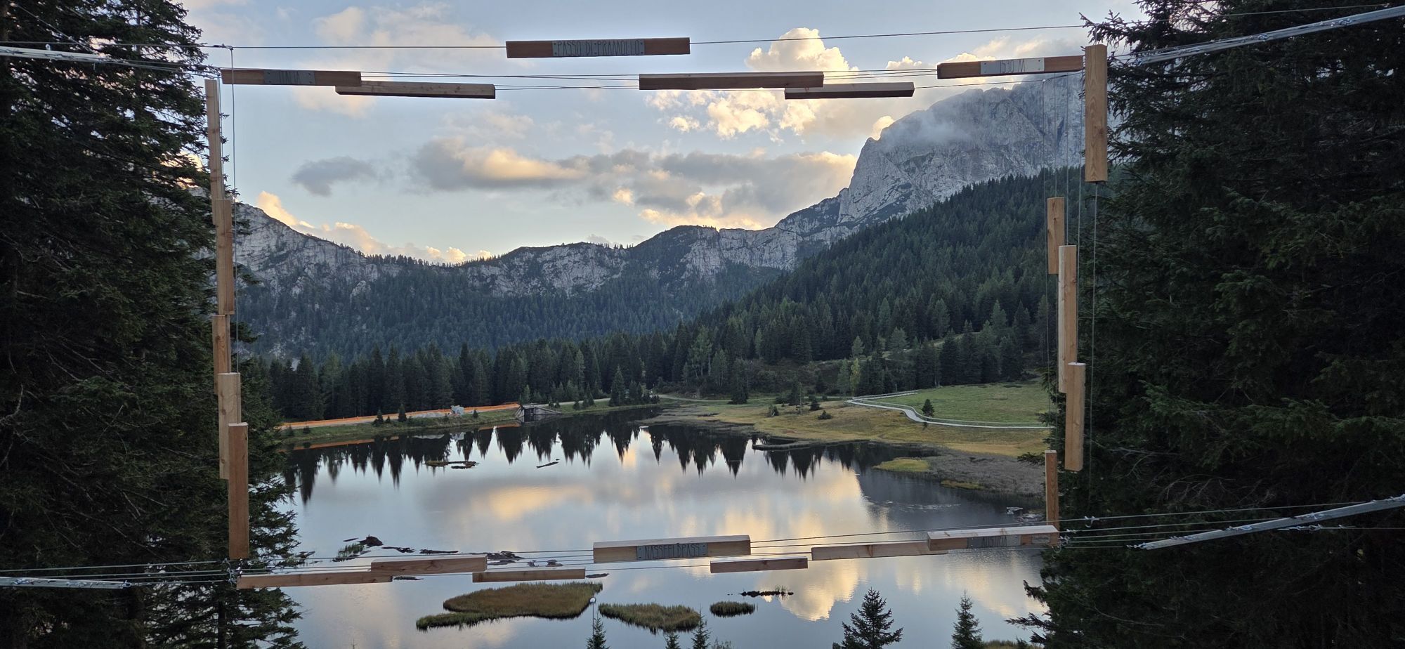
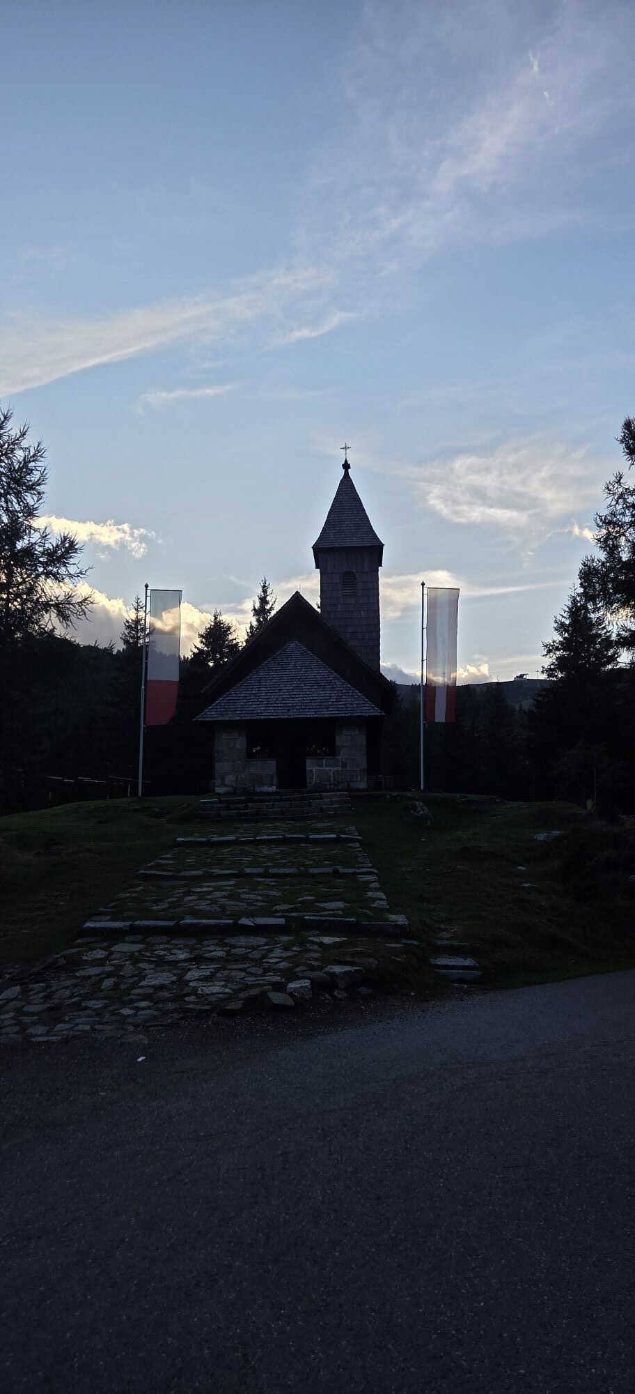
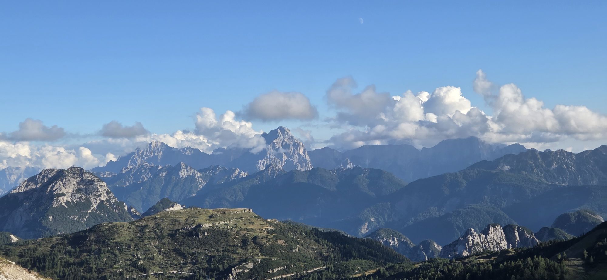
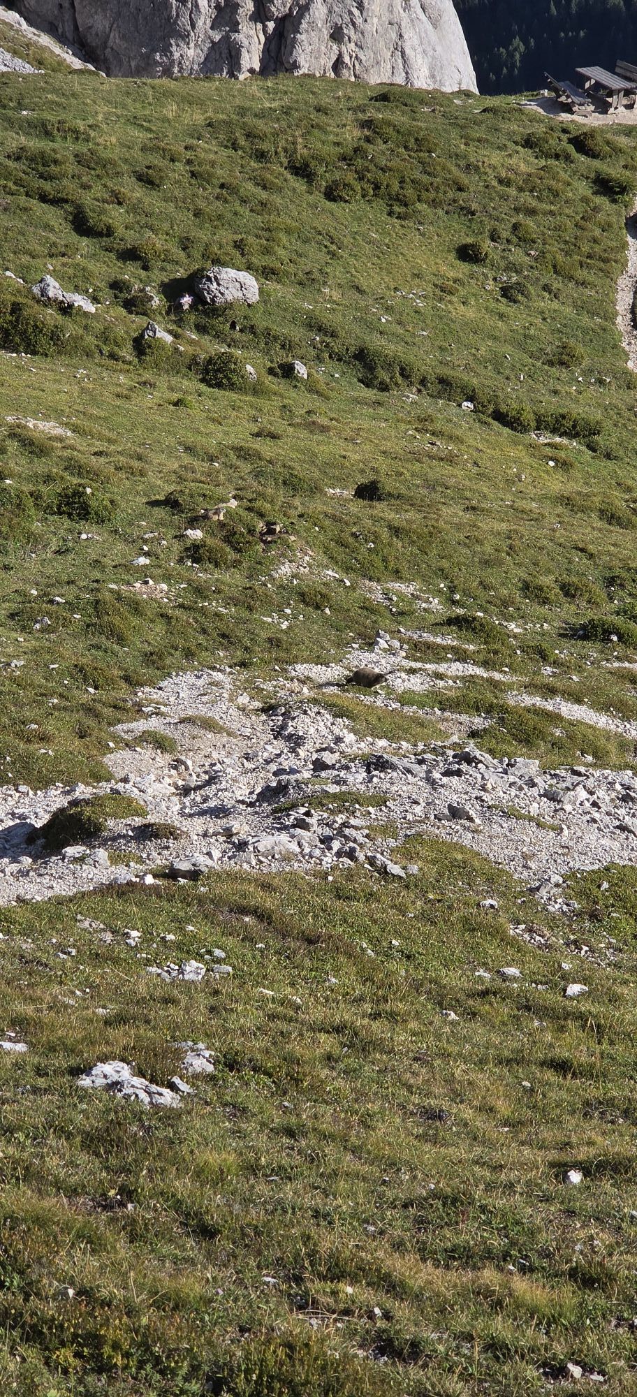
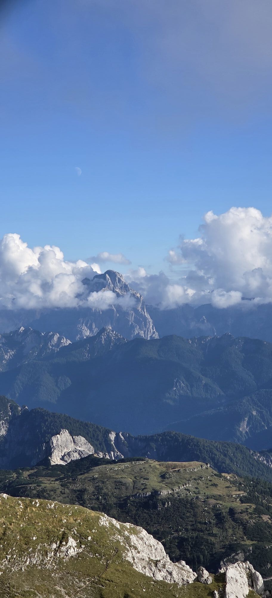
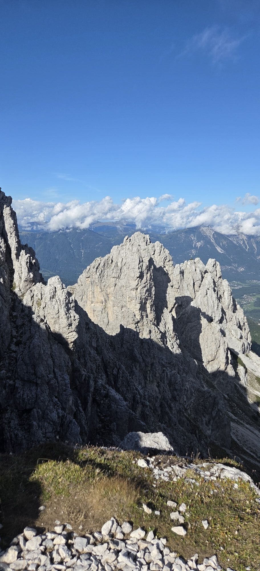
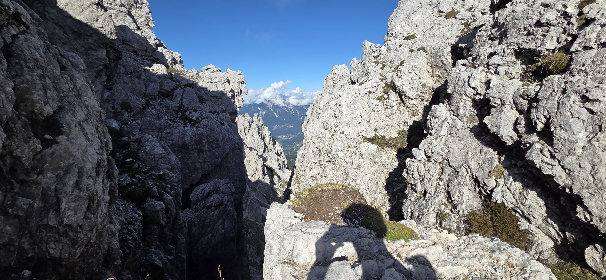
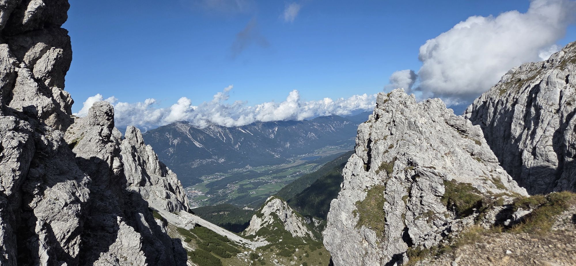
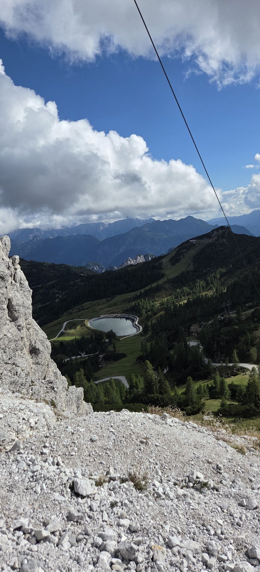
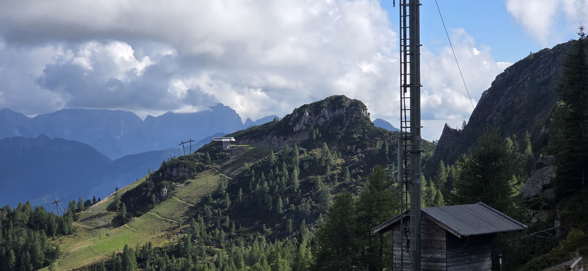
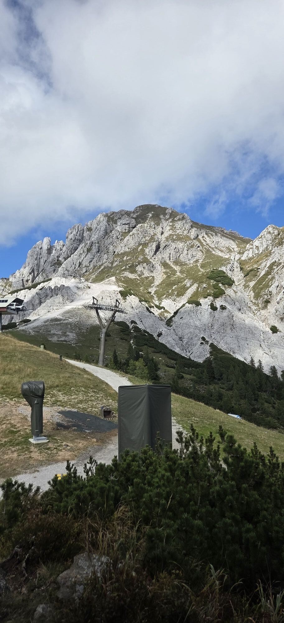
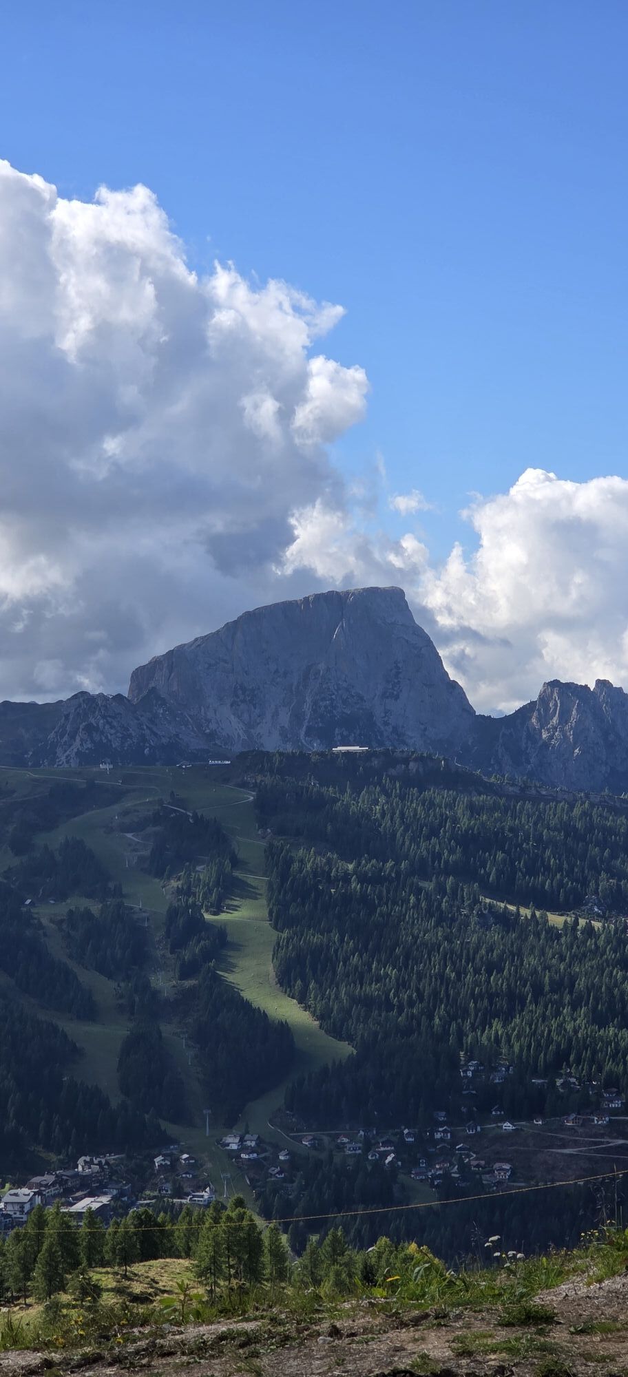
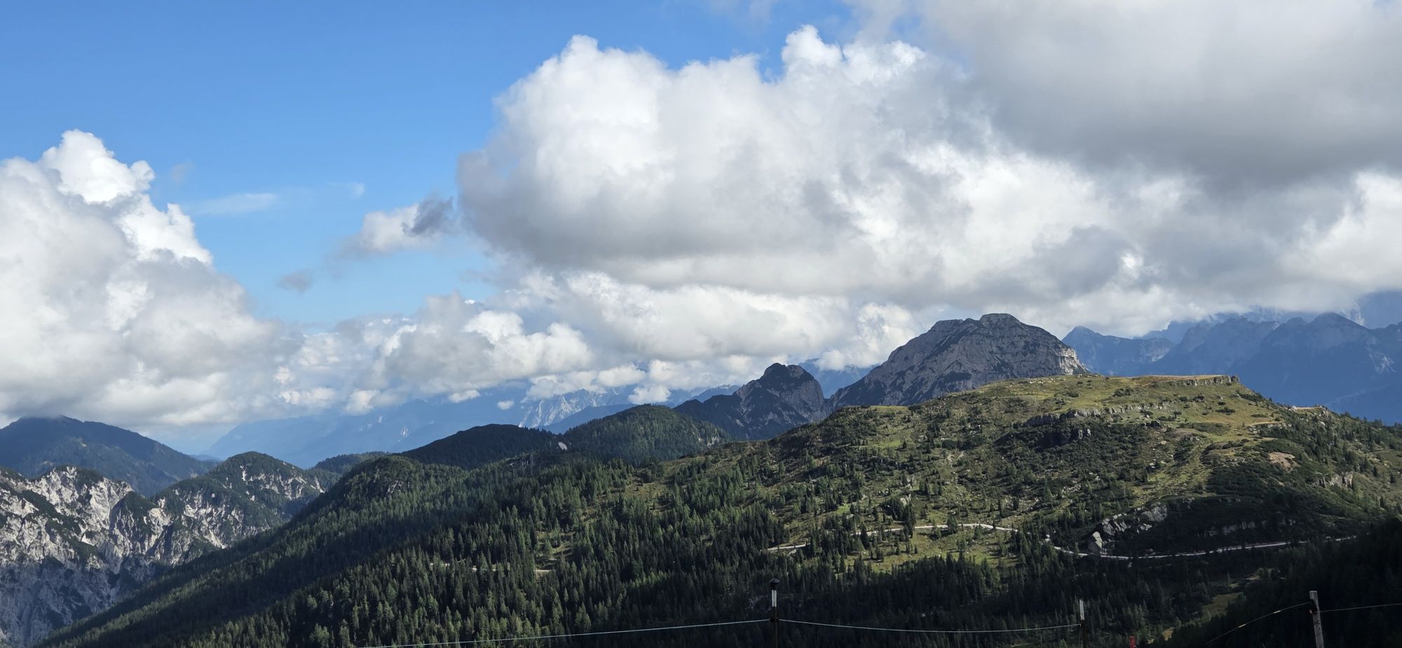
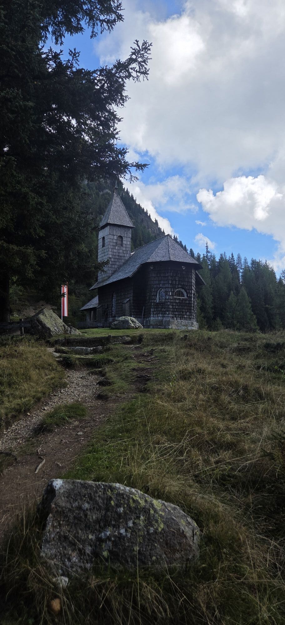
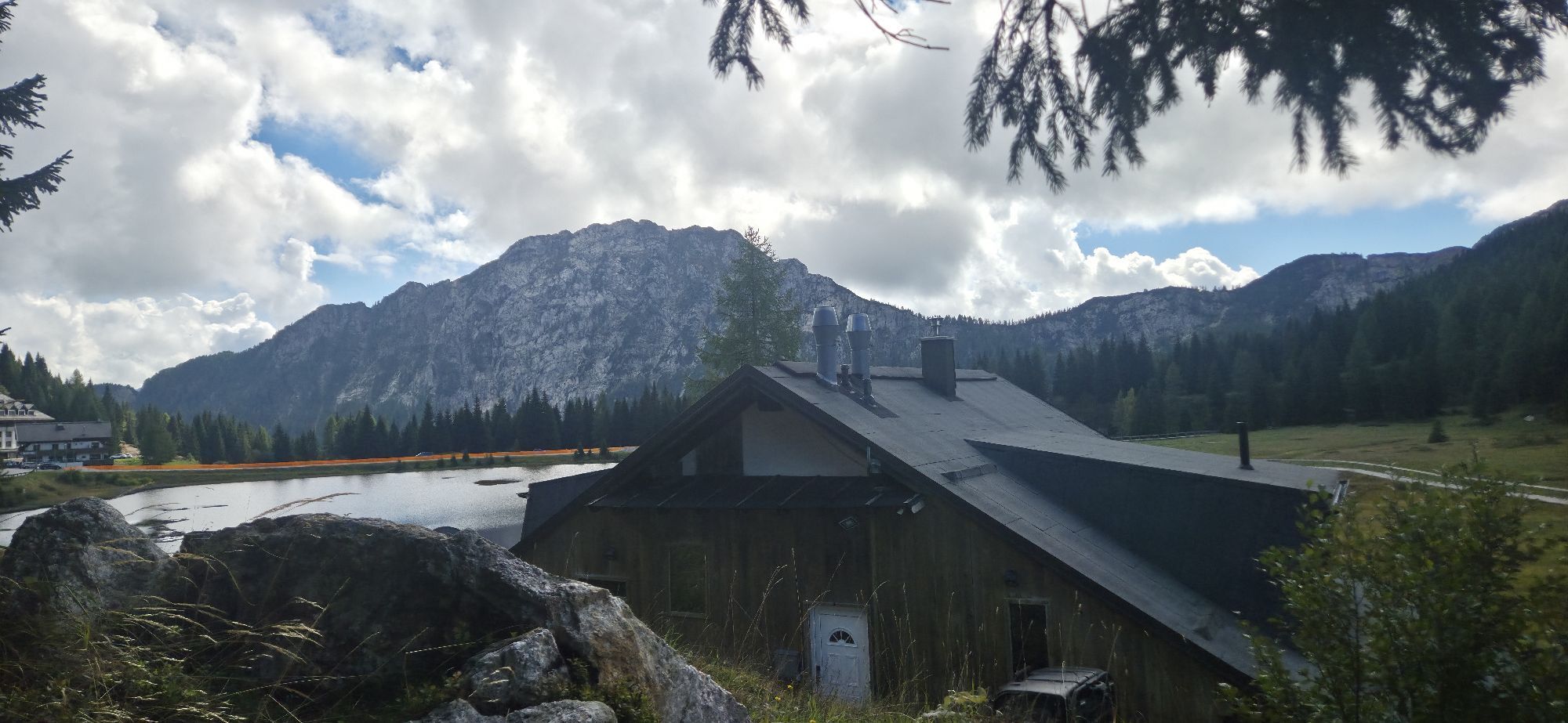
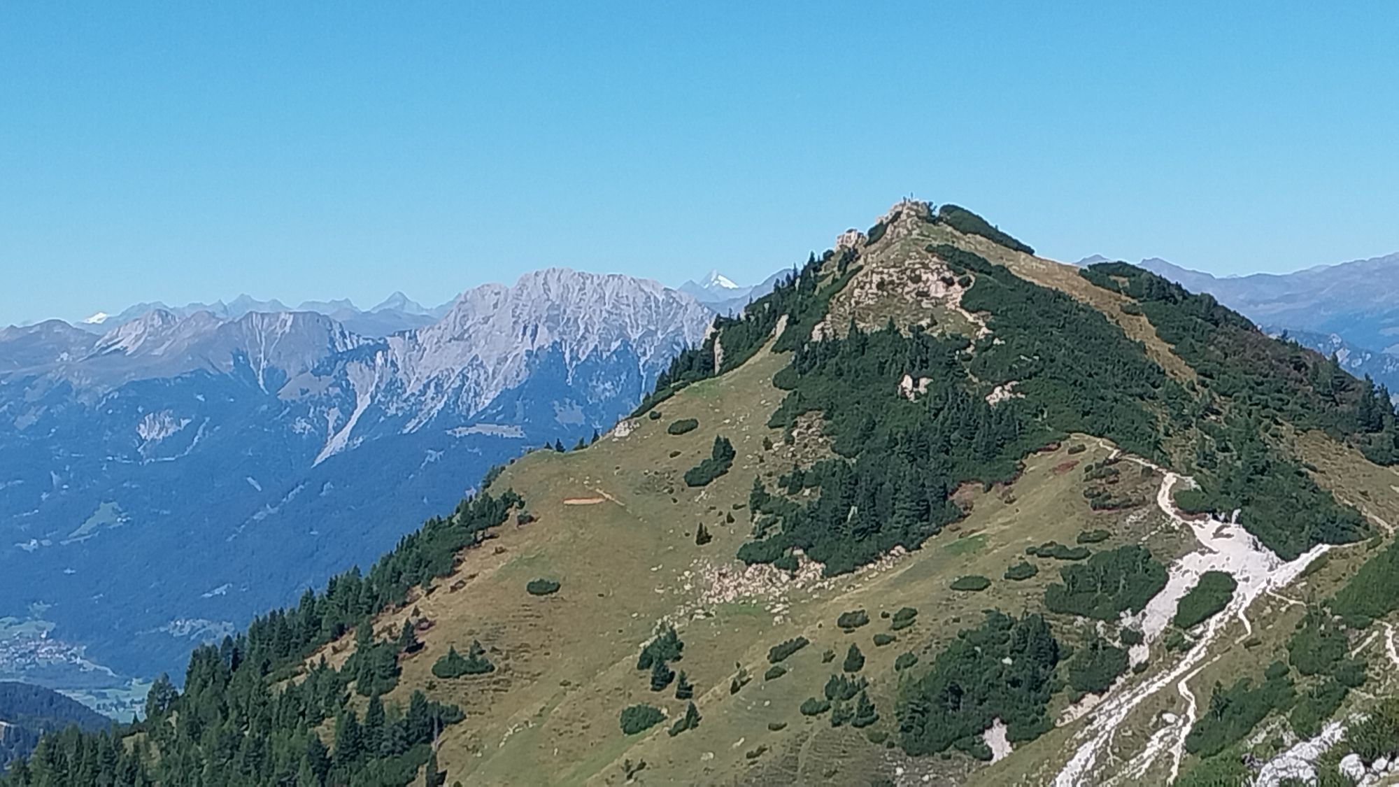
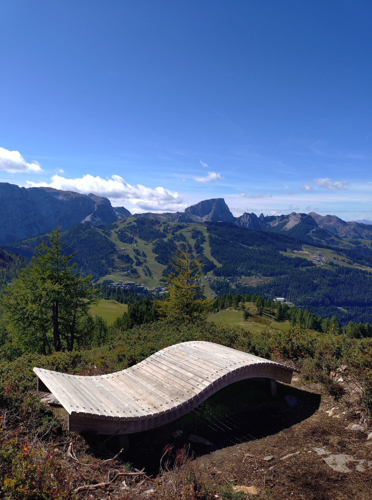
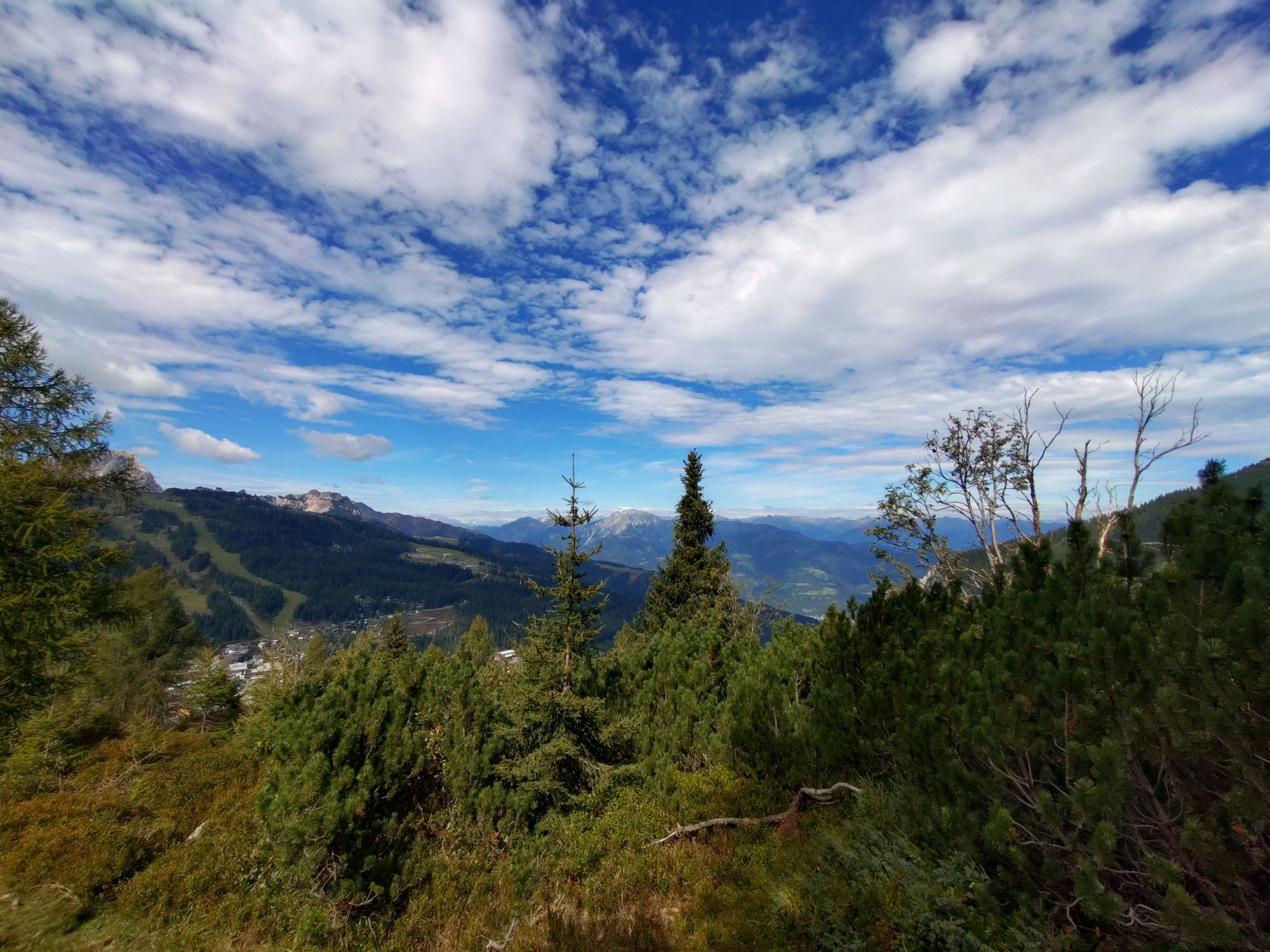
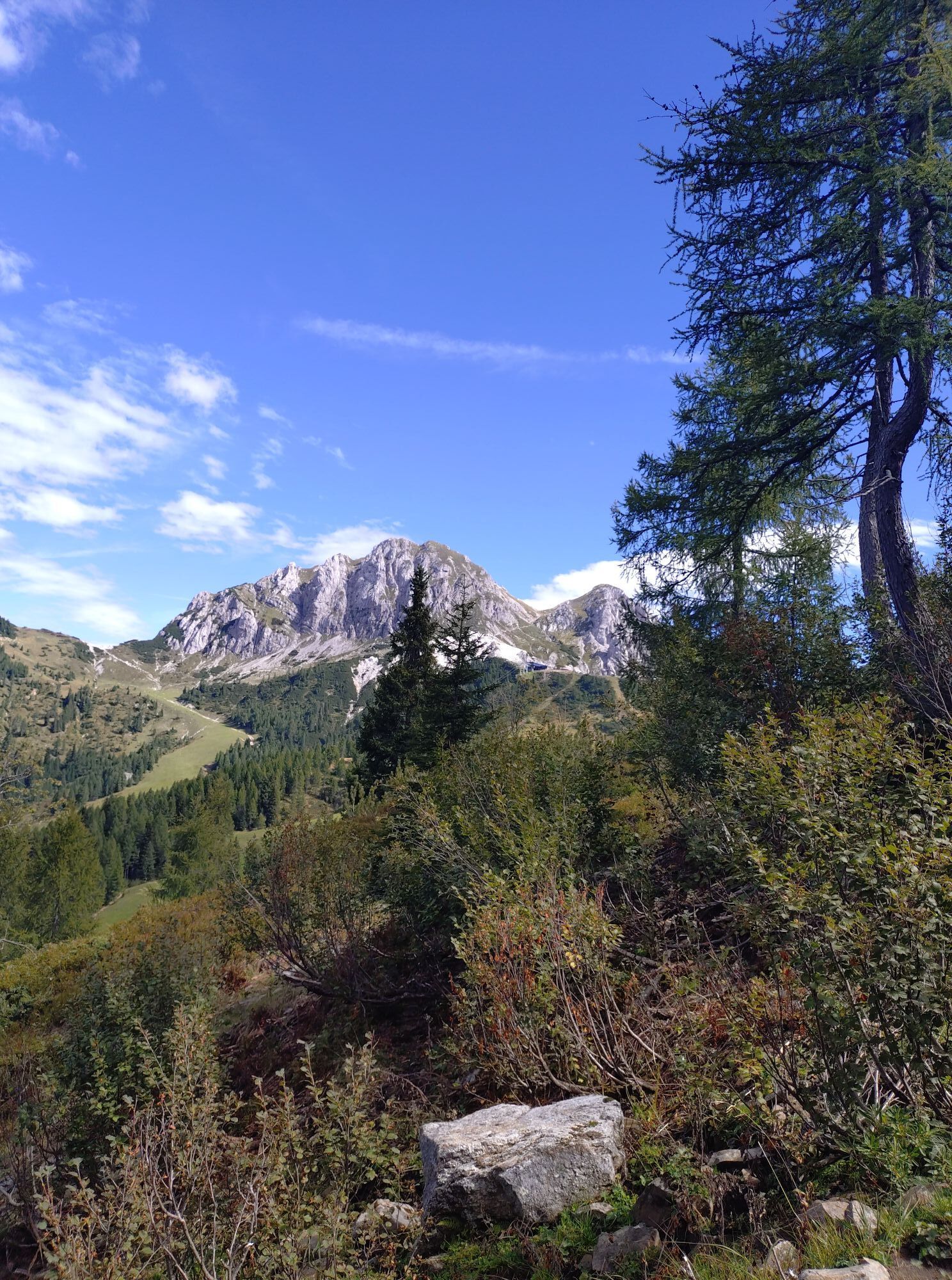
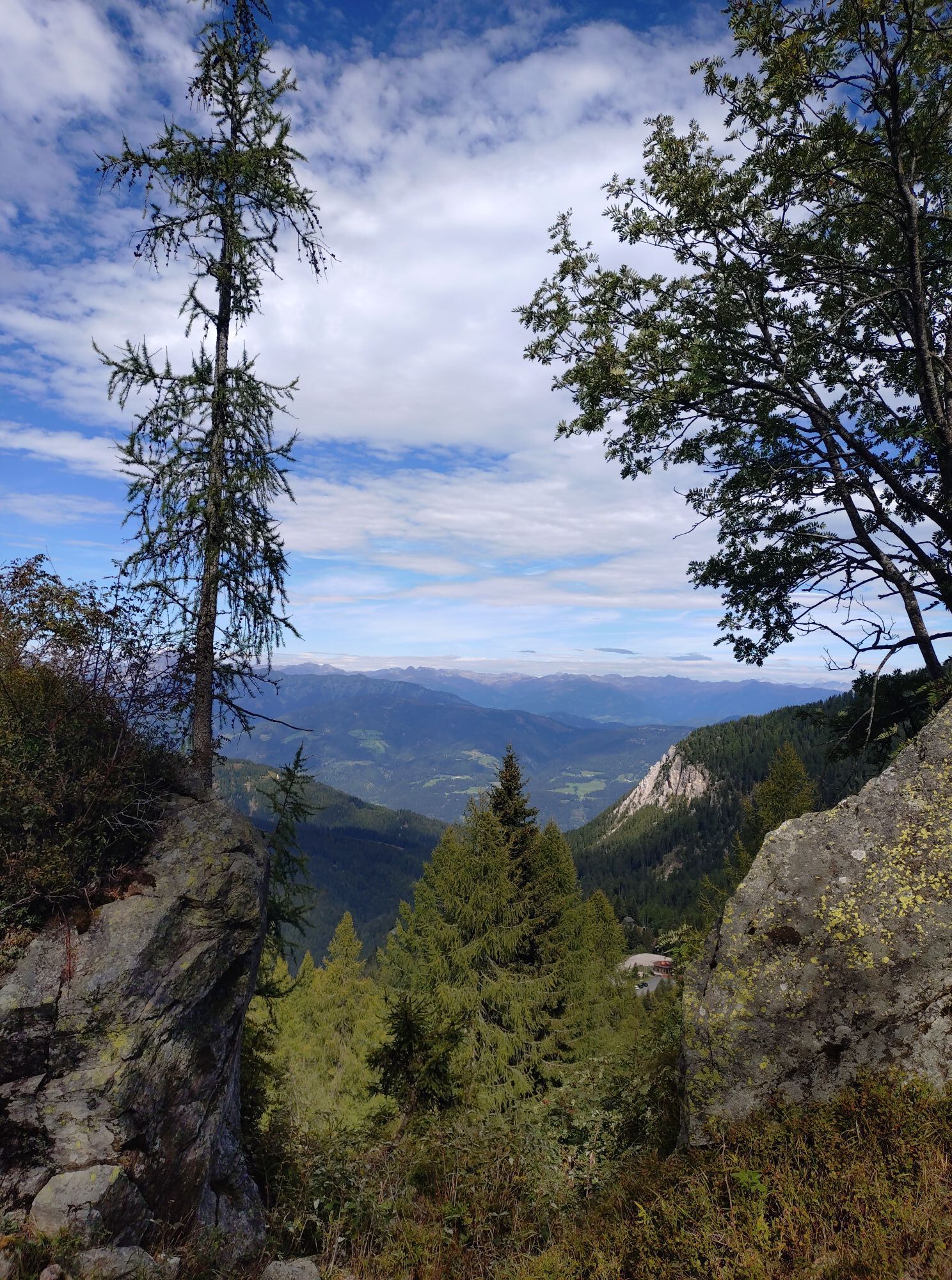
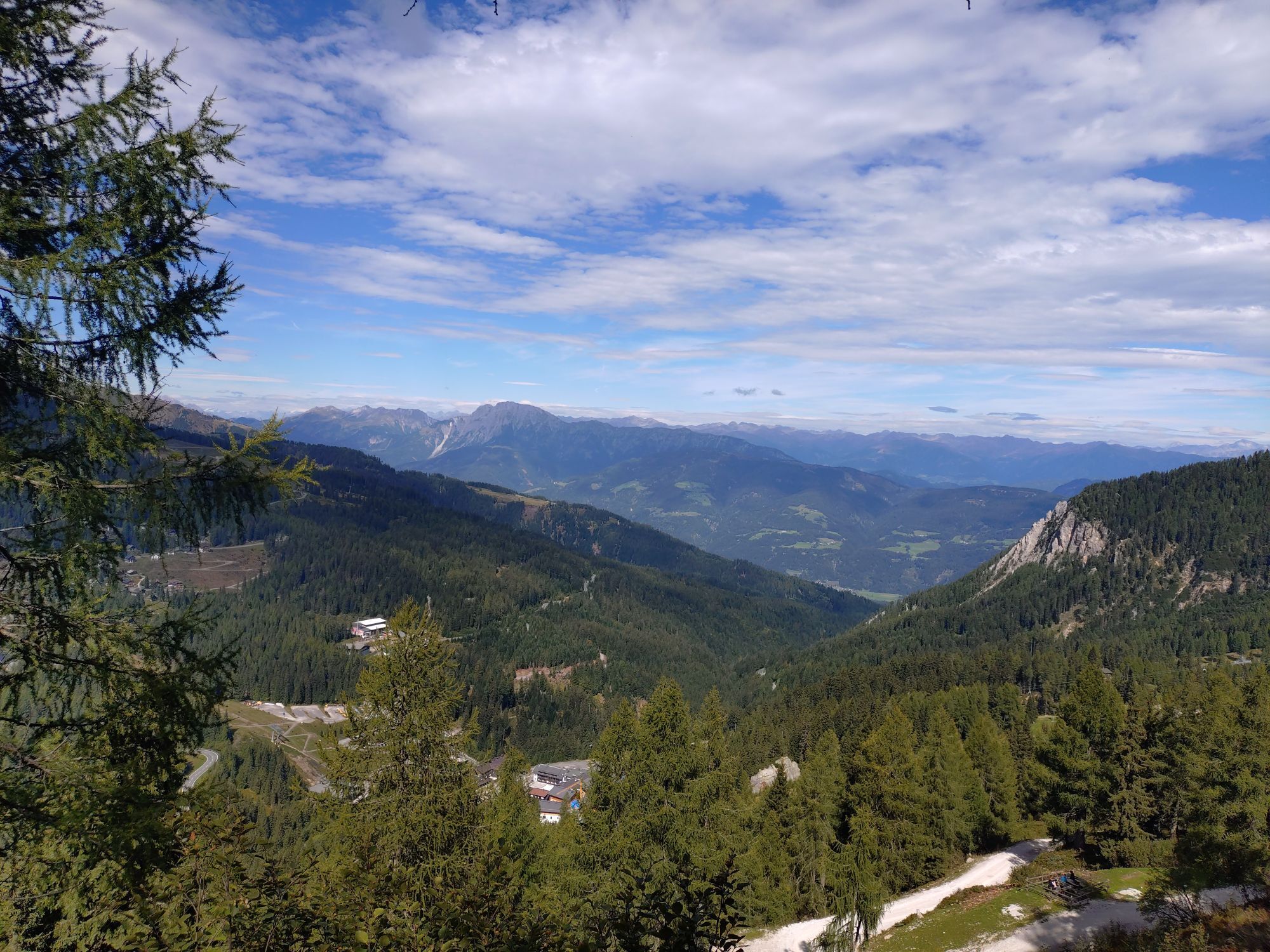
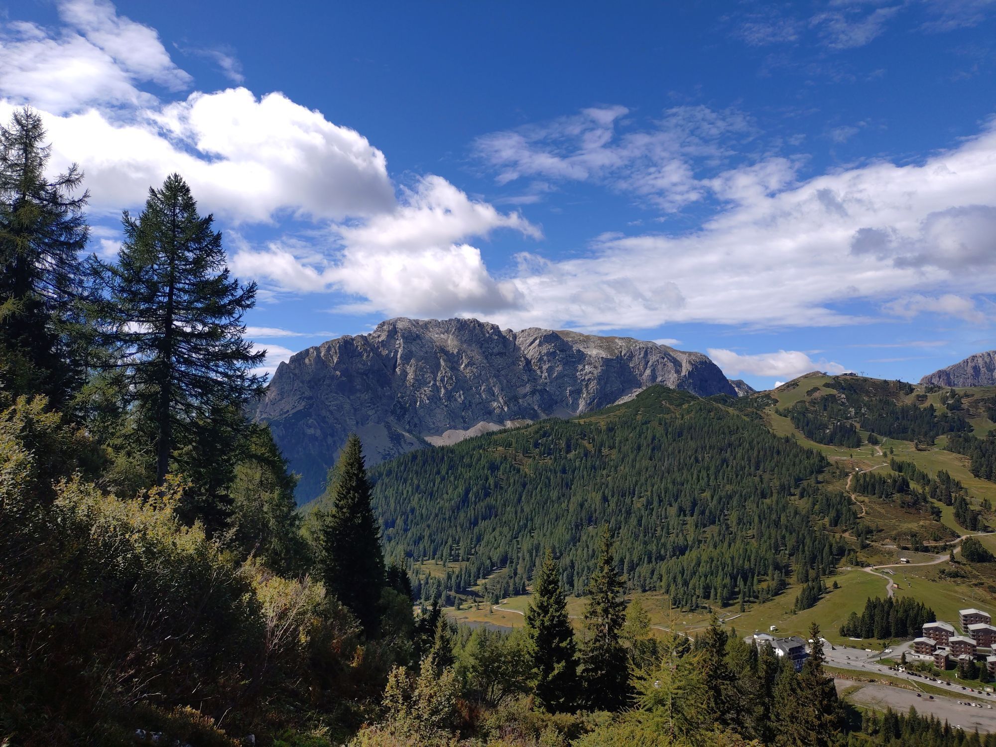
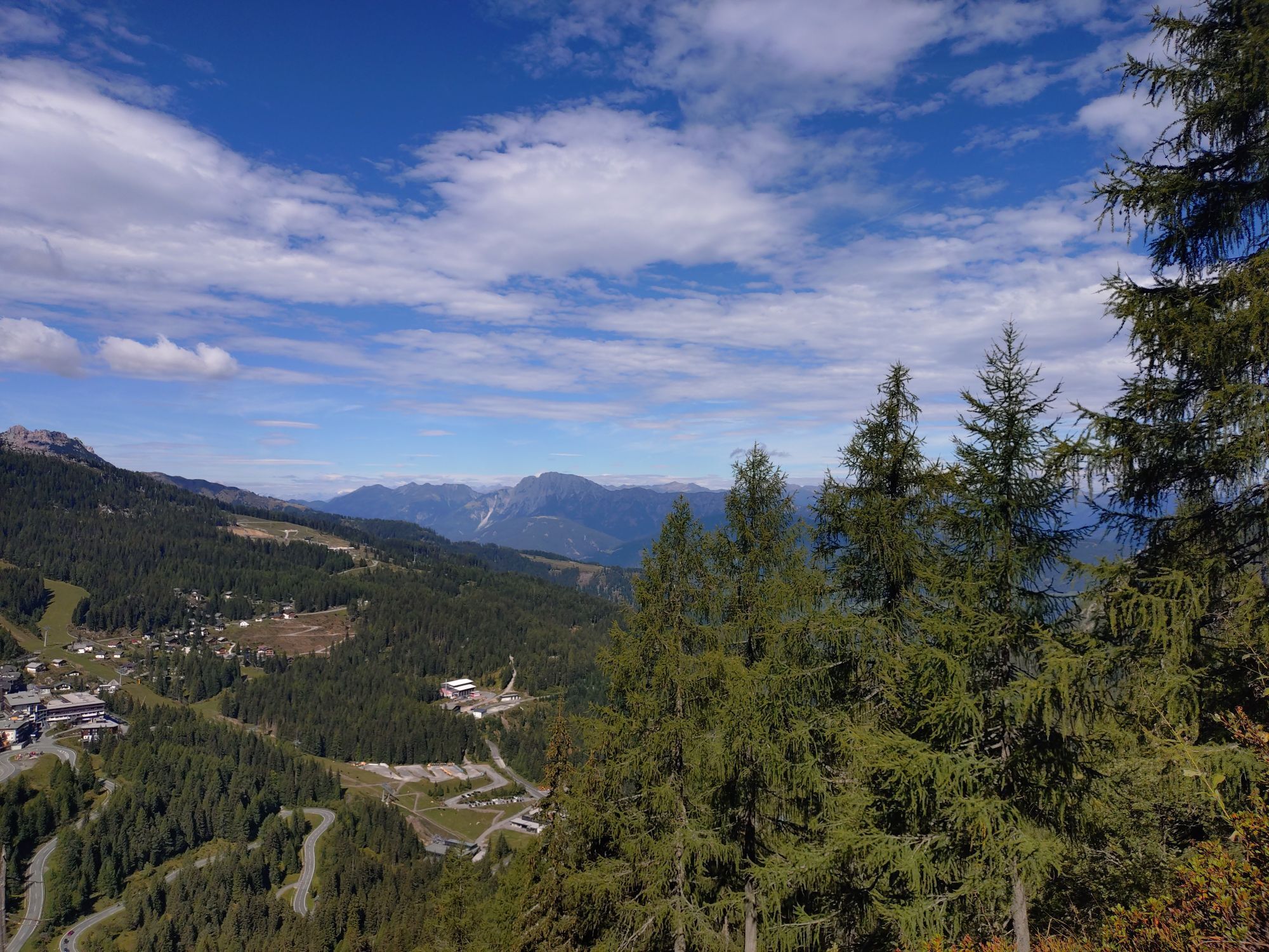
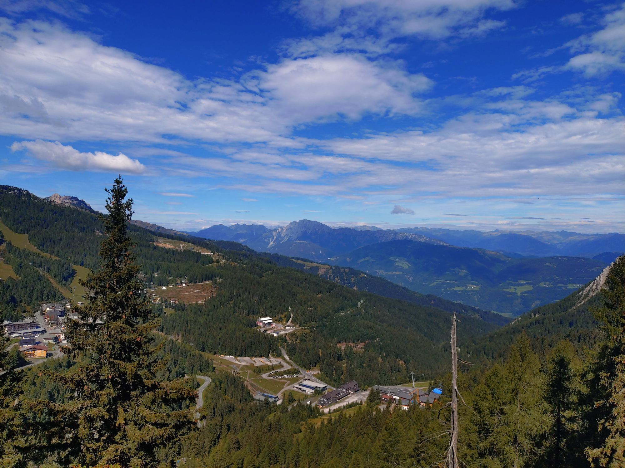
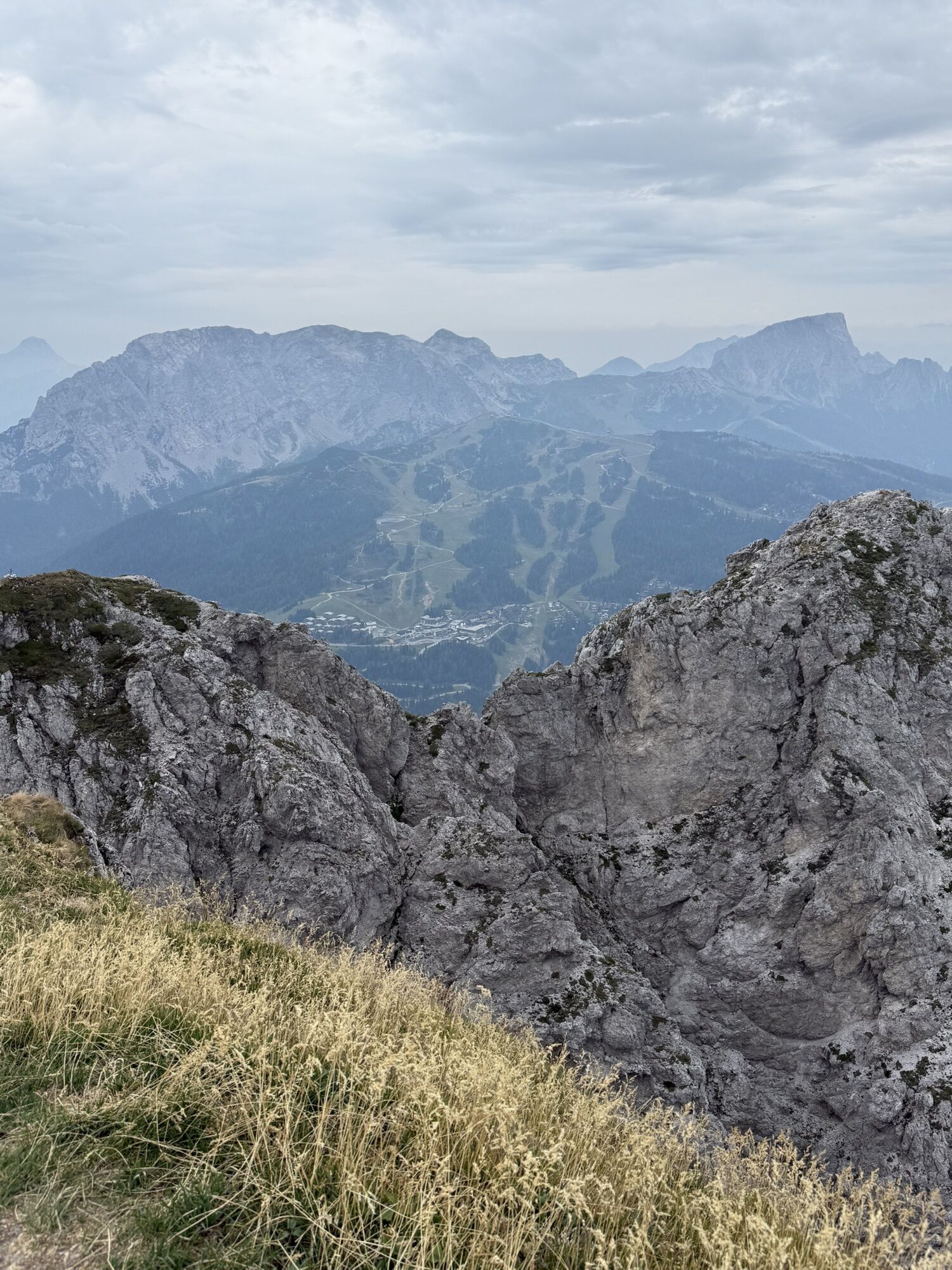
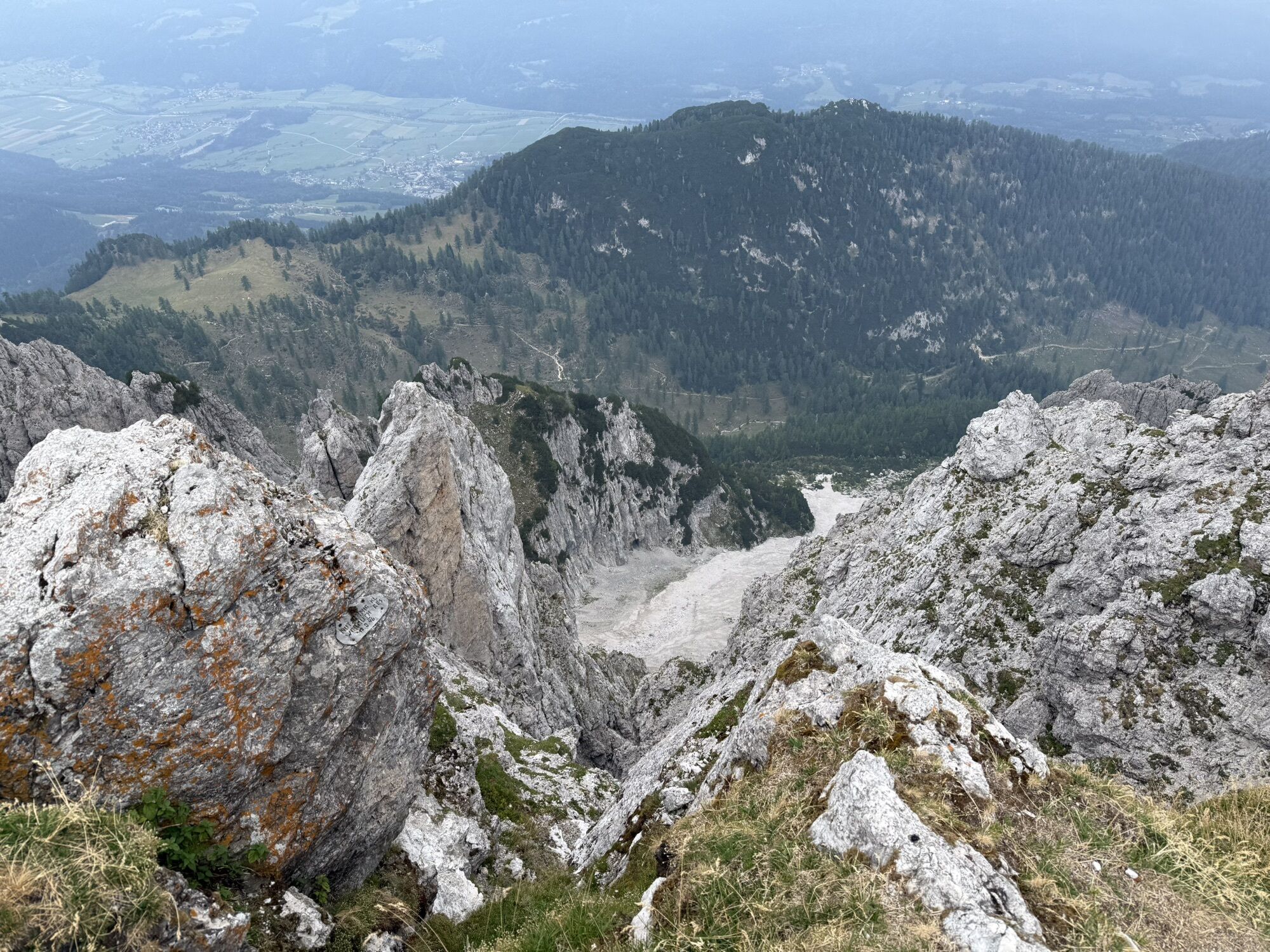
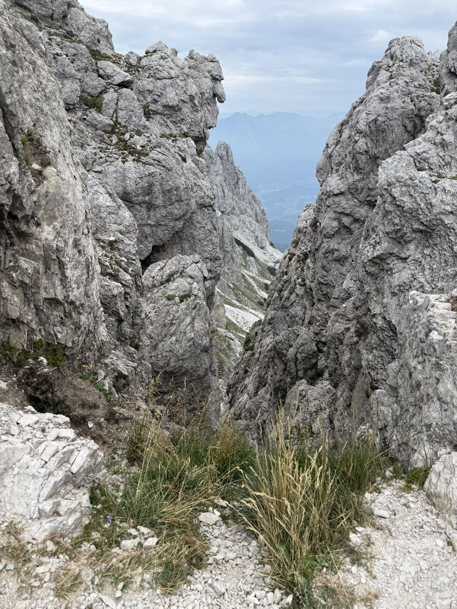
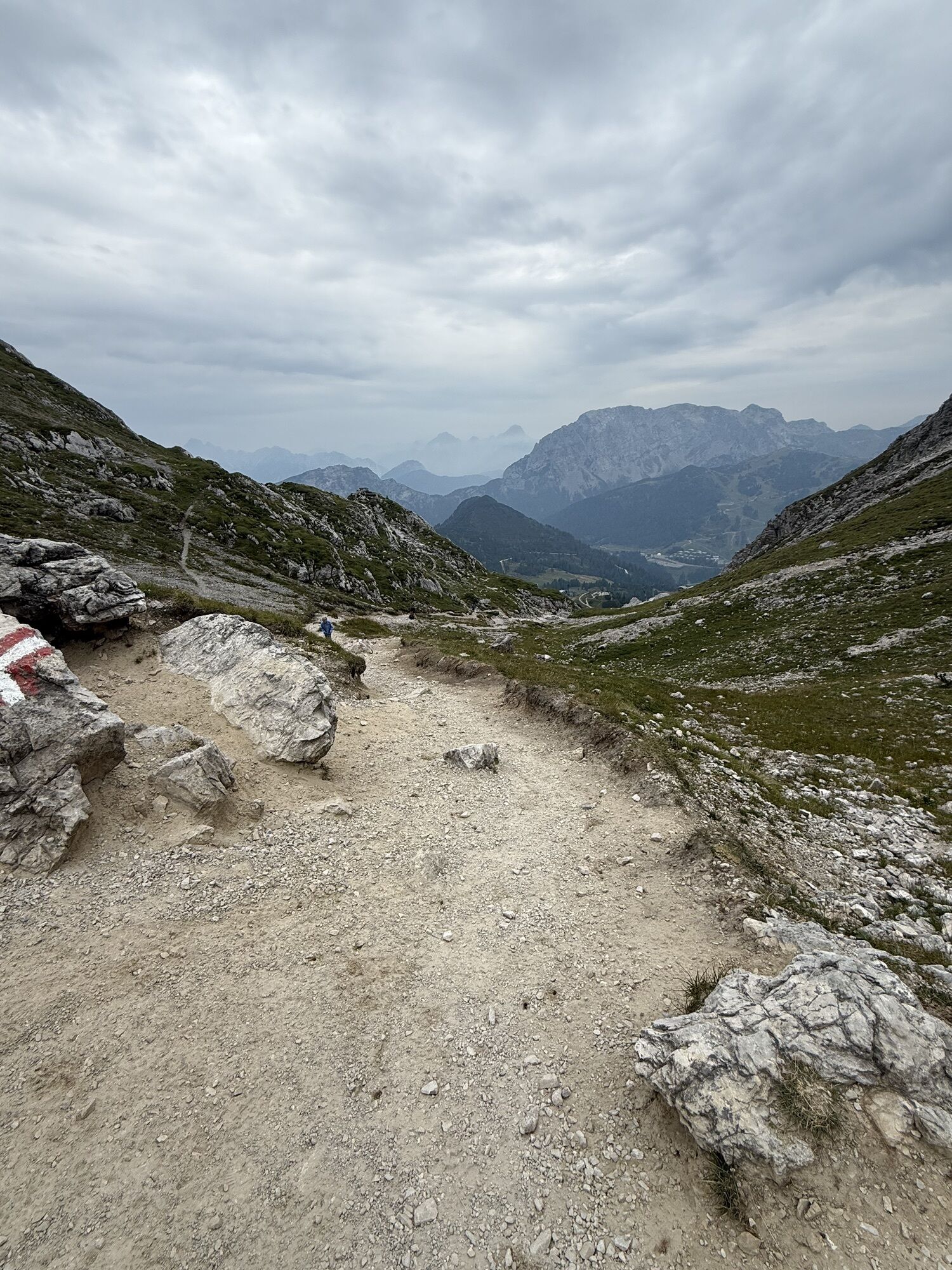
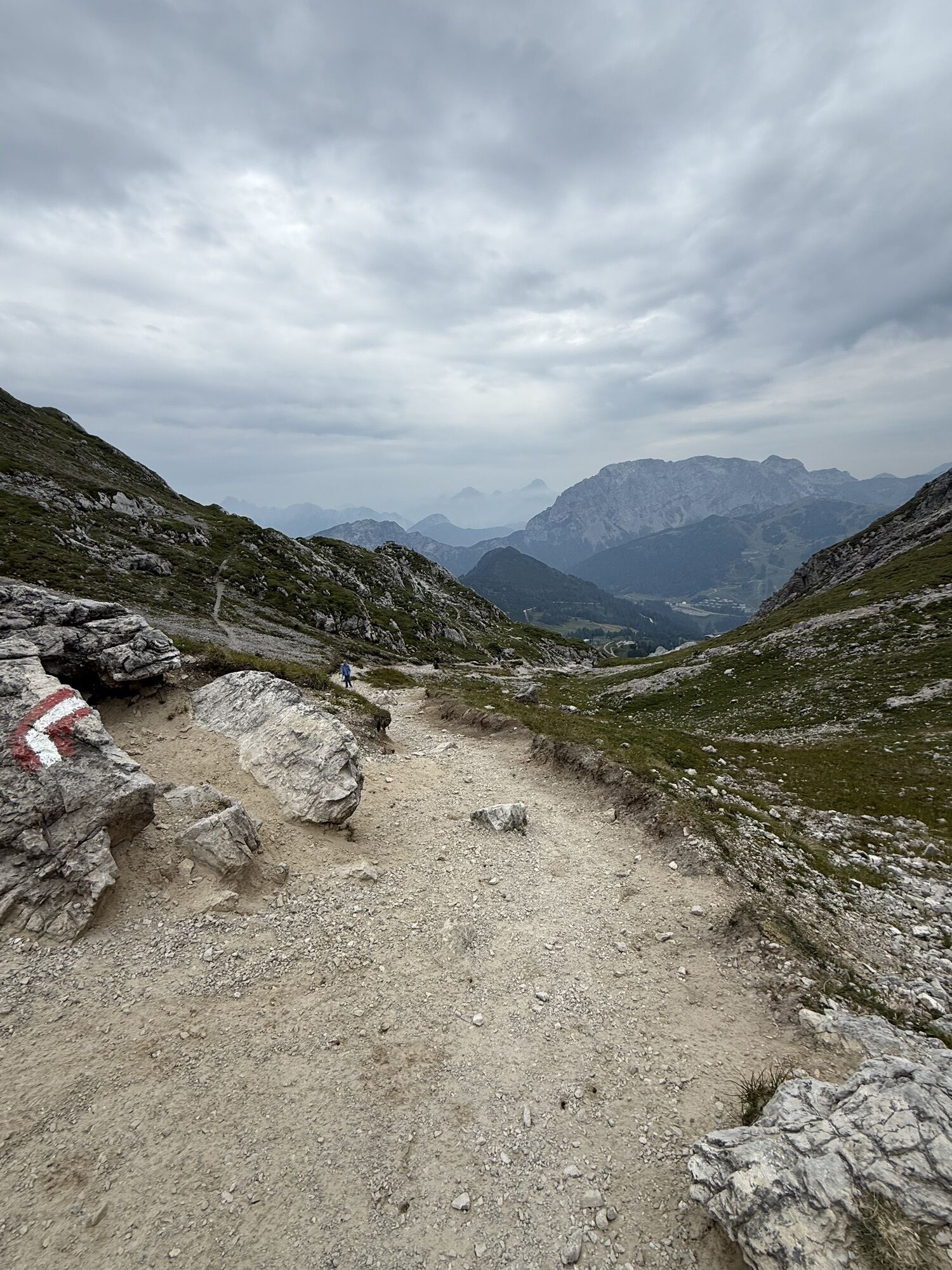
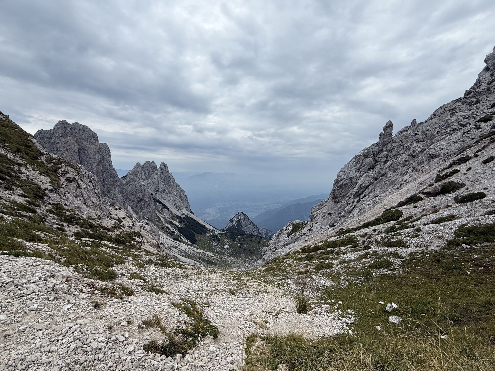
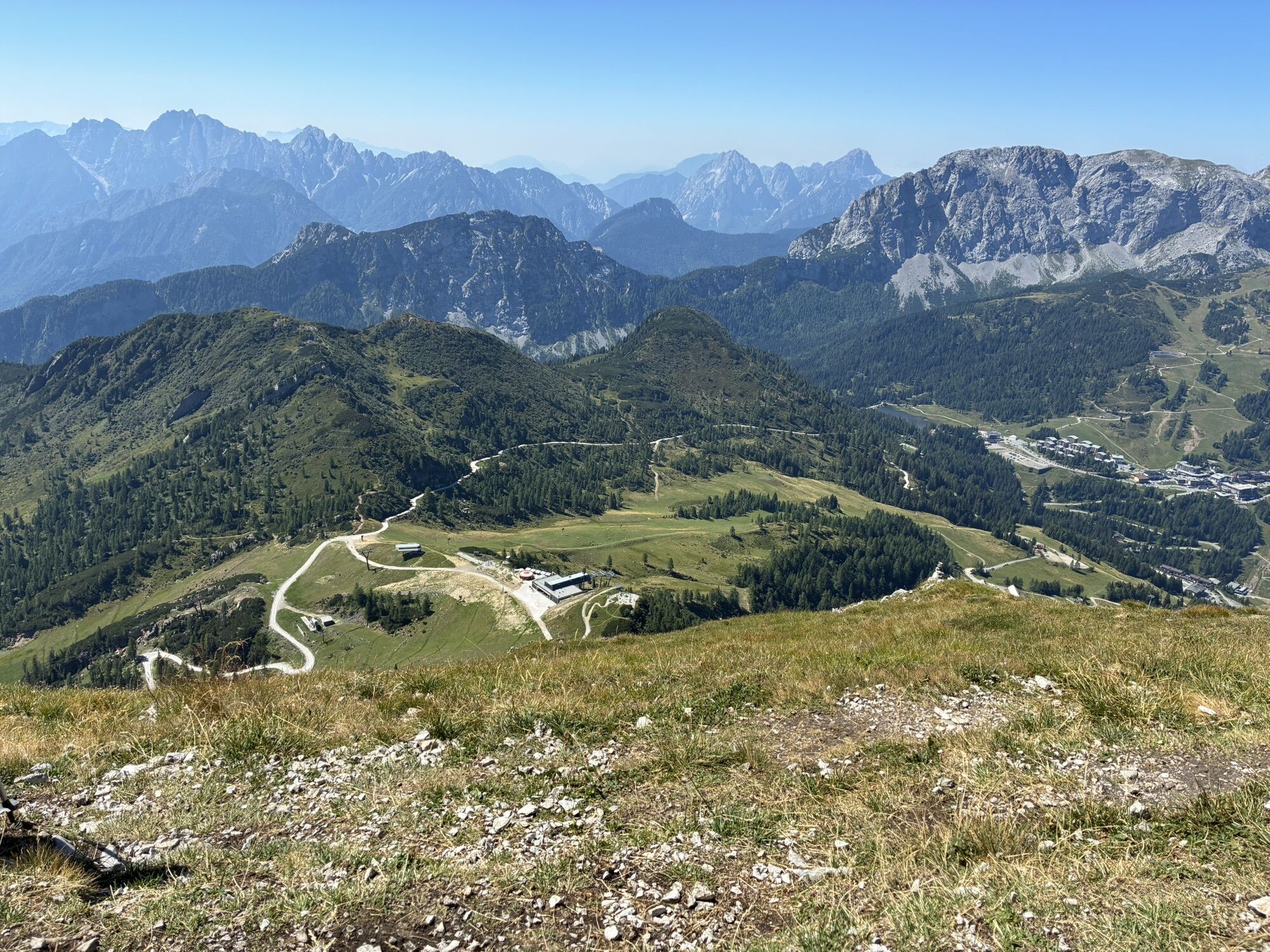
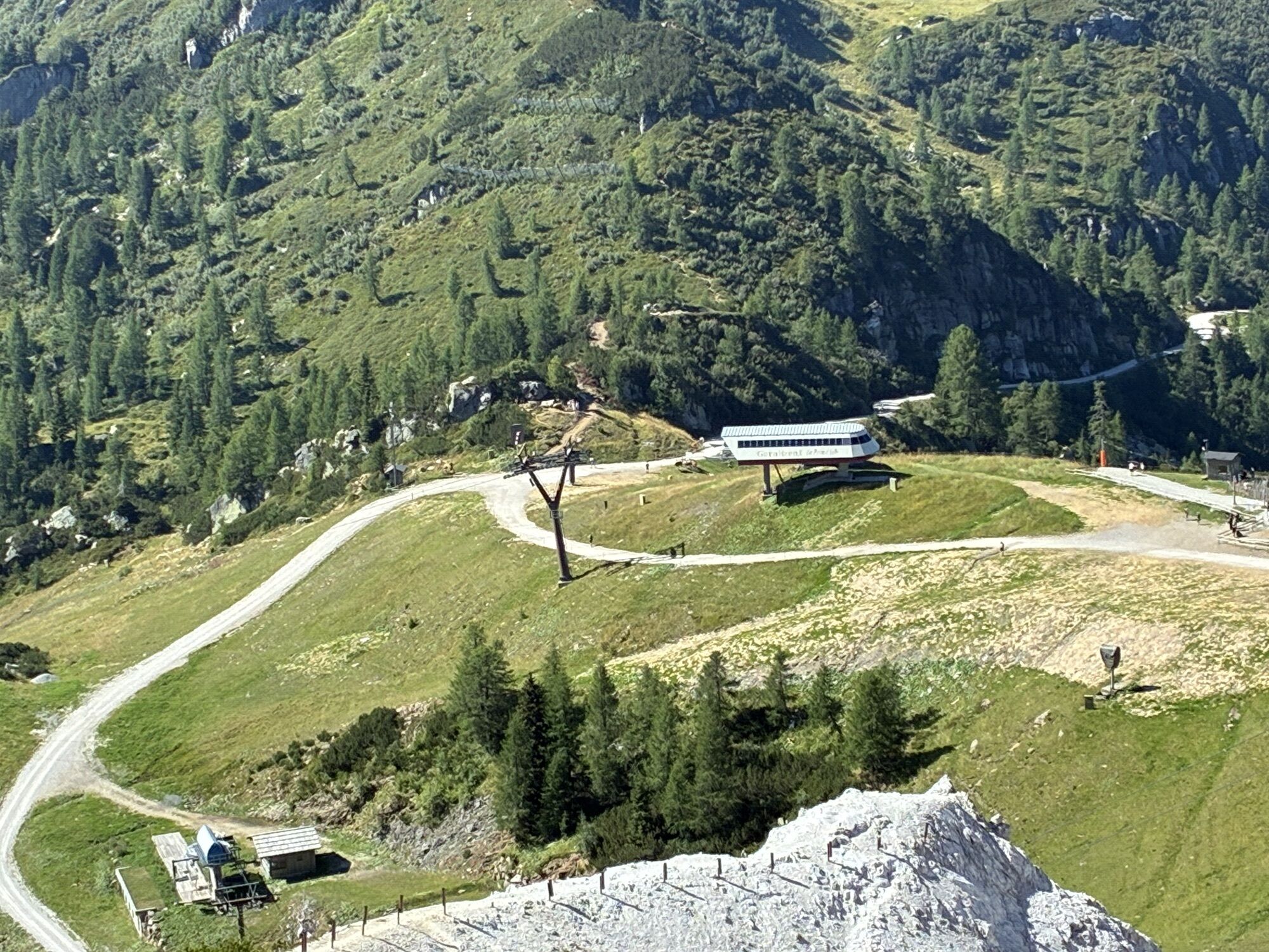
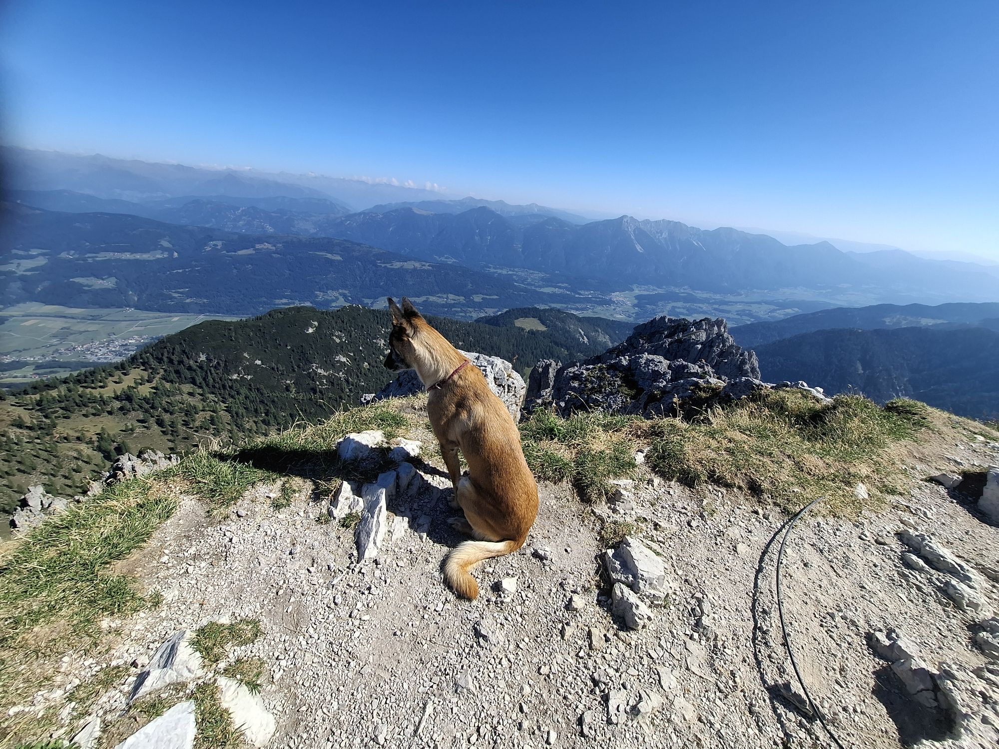
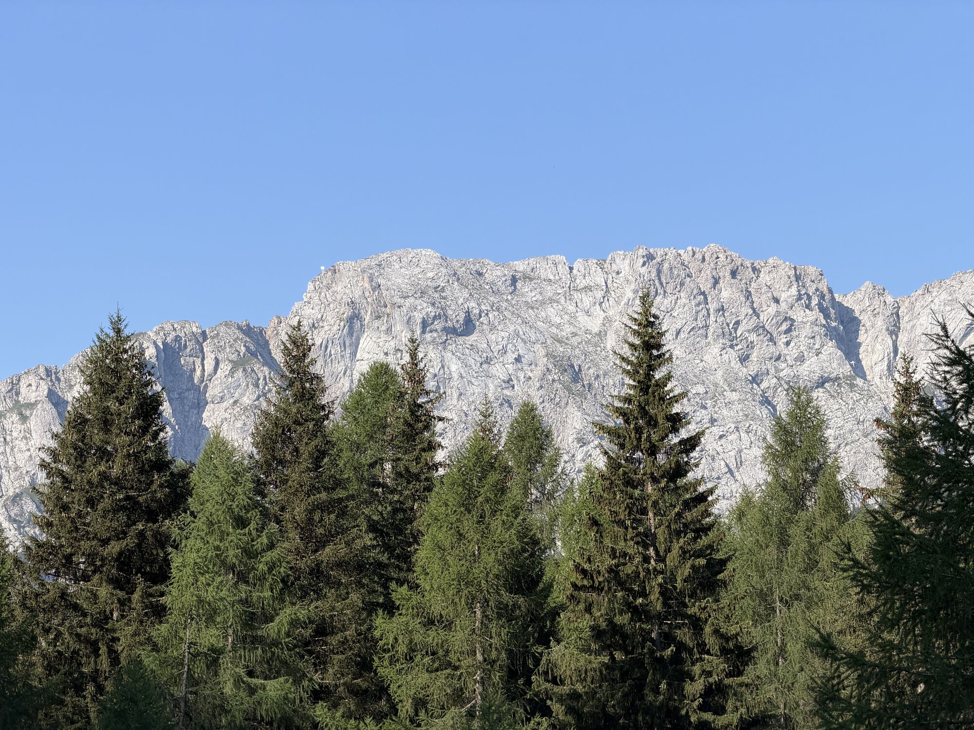
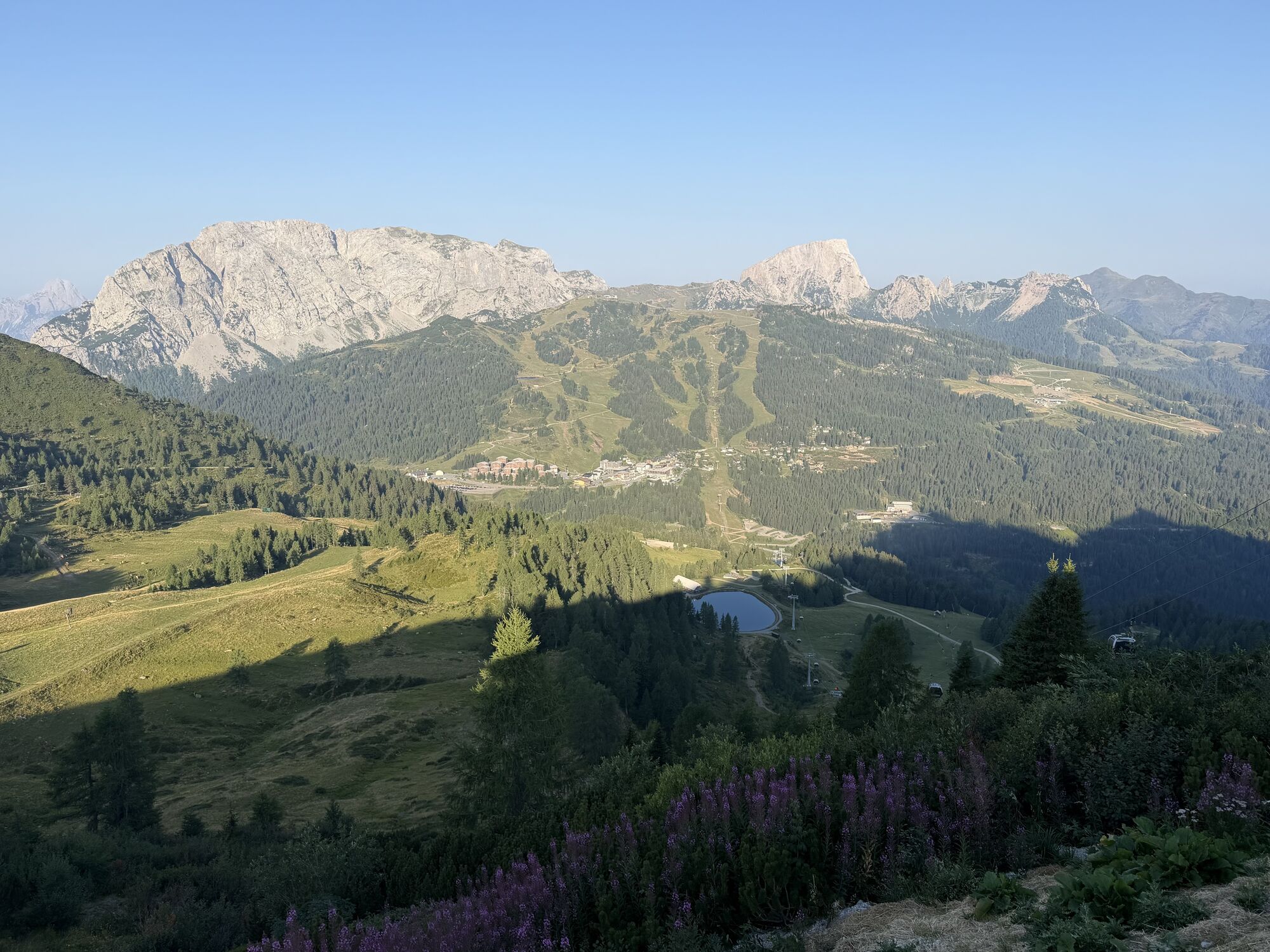
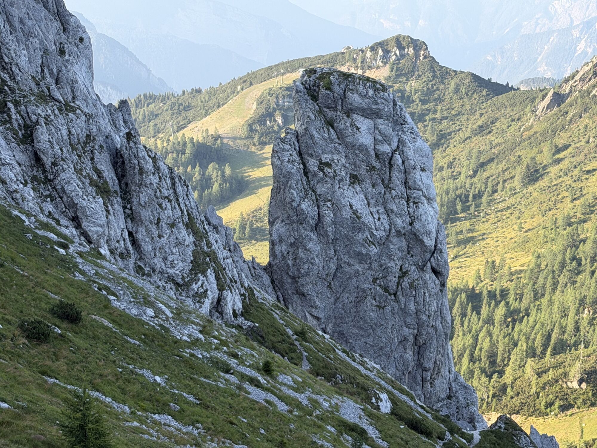
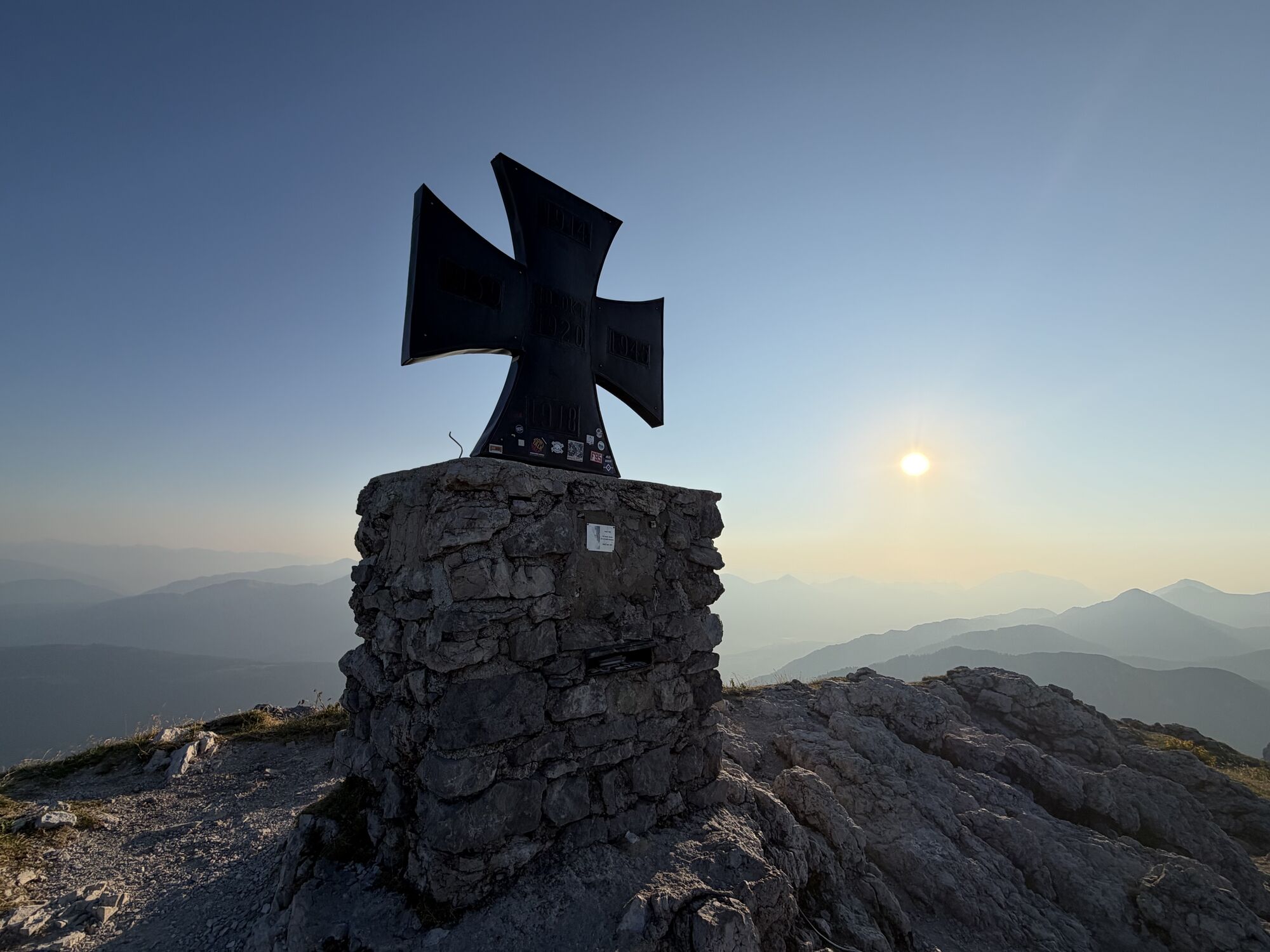
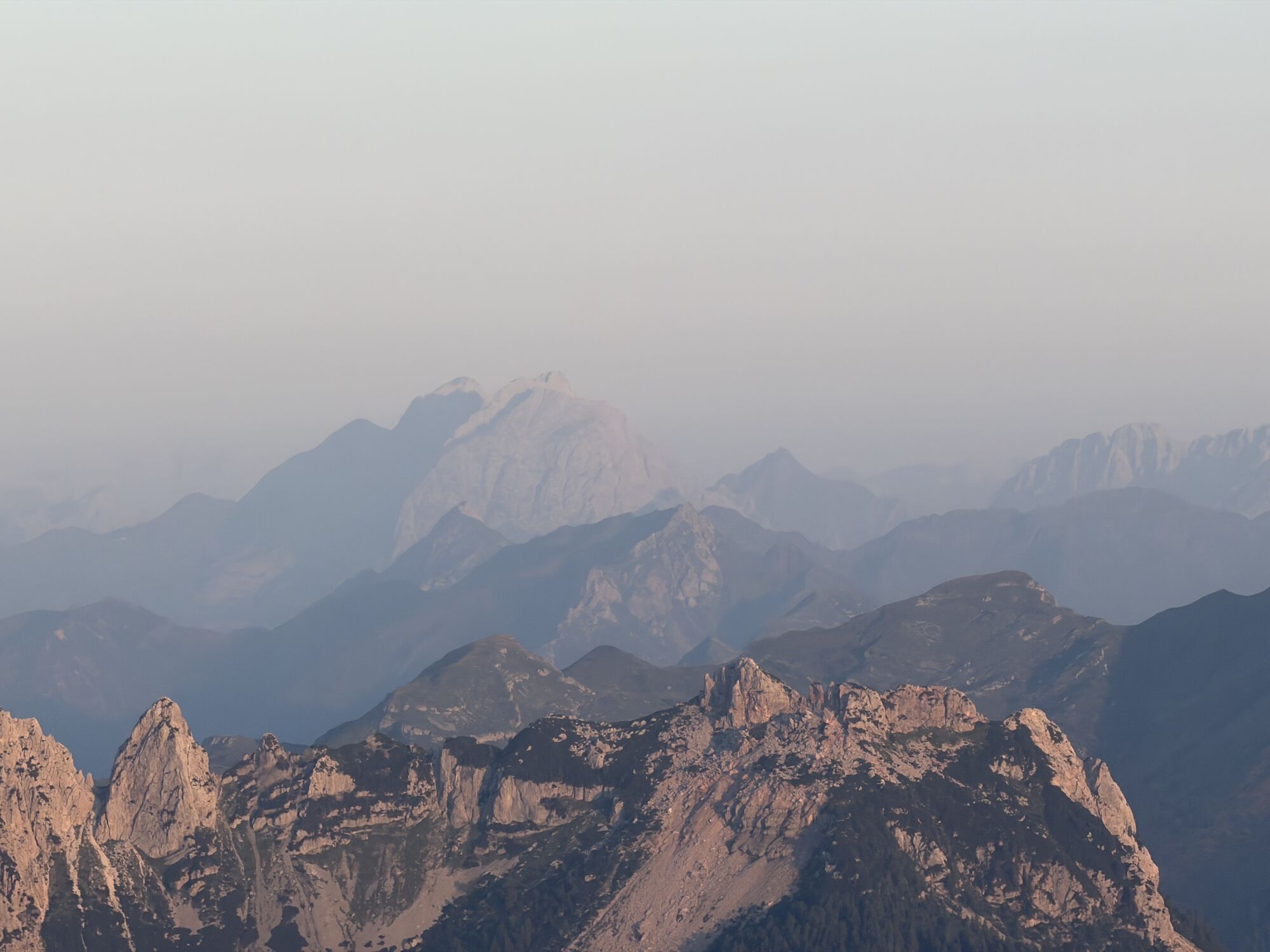
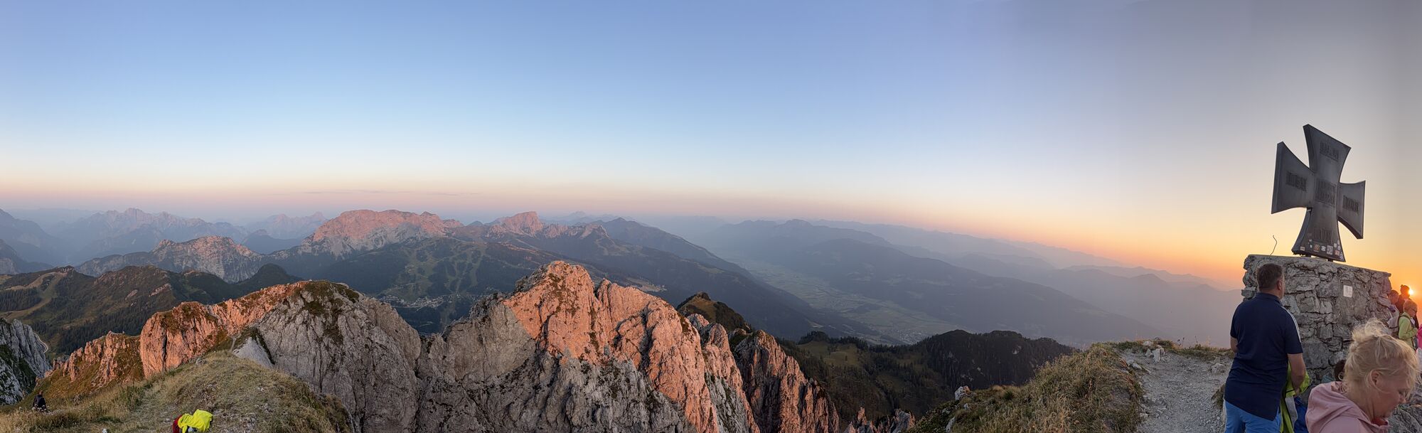
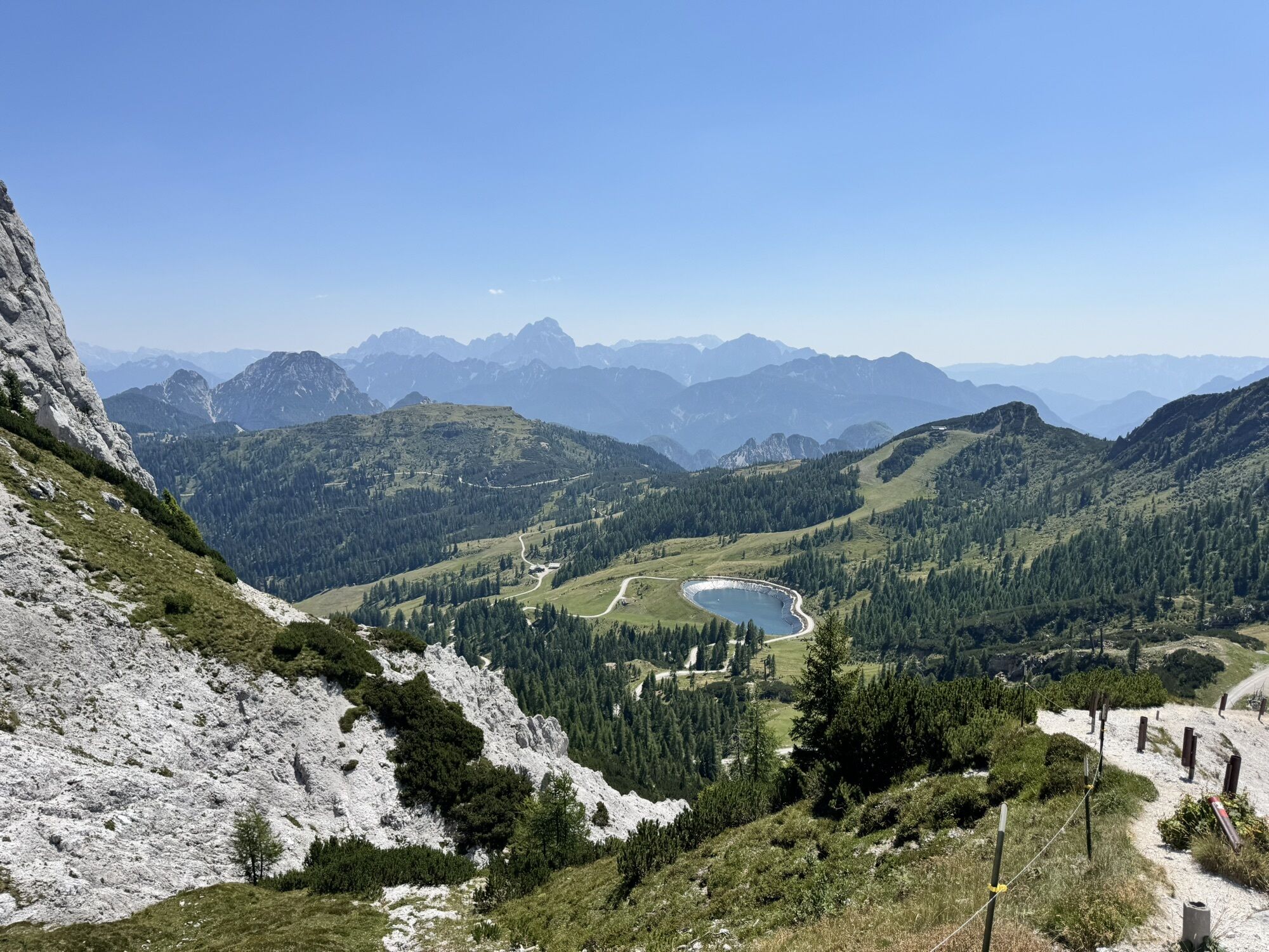
We start in the darkness of night along the Garnitzenweg to the Garnitzenthörl, where we see the light of Luschari in the Julian Alps, a short drinking break at the mountain station of the Gartnerkofelbahn...
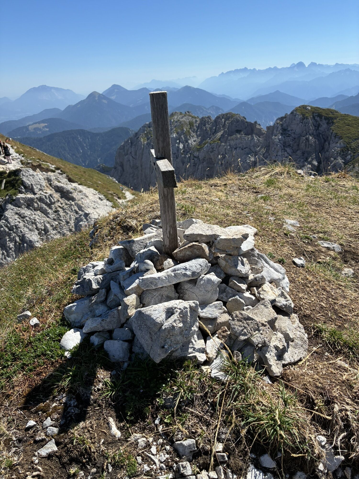
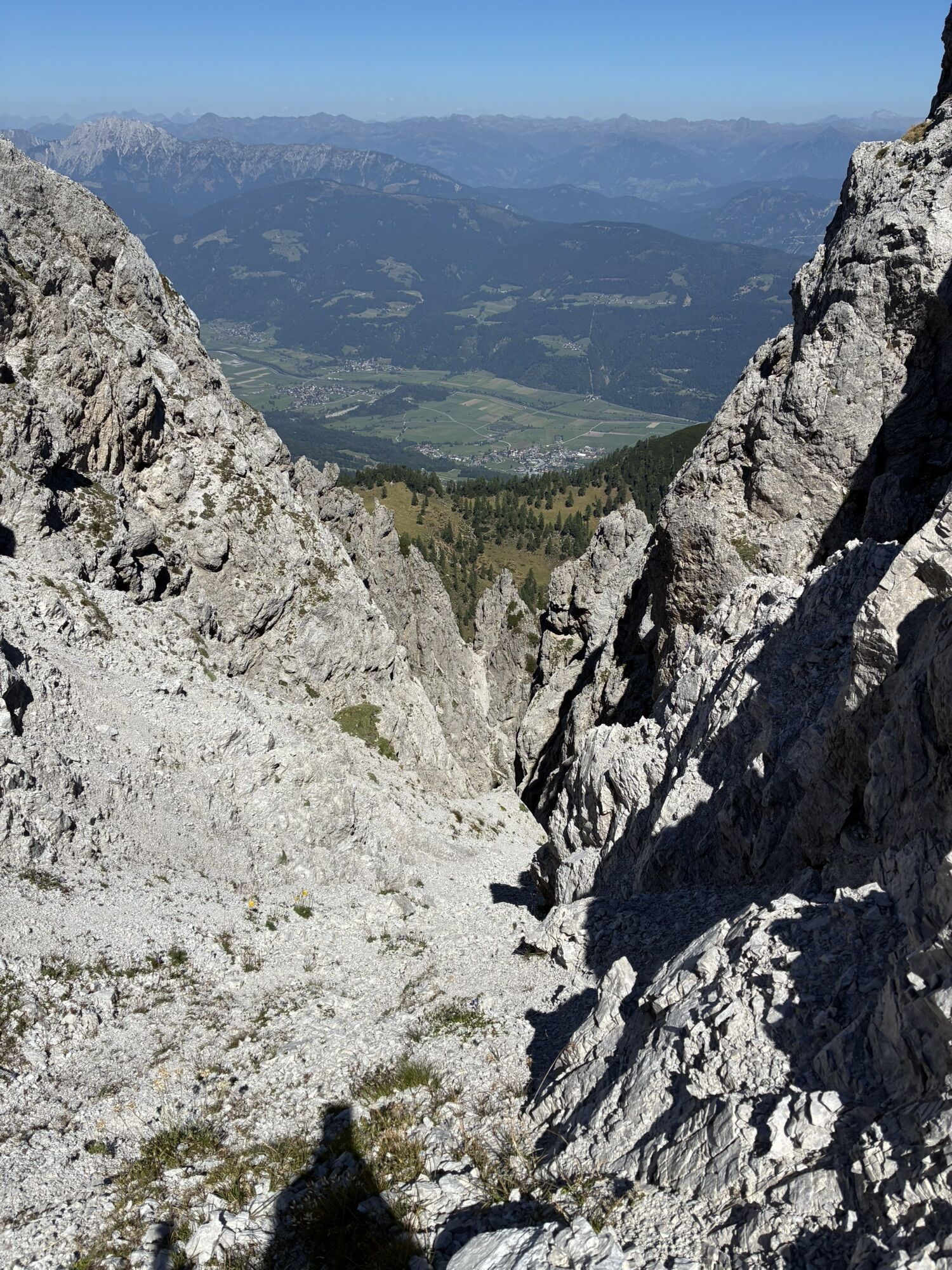
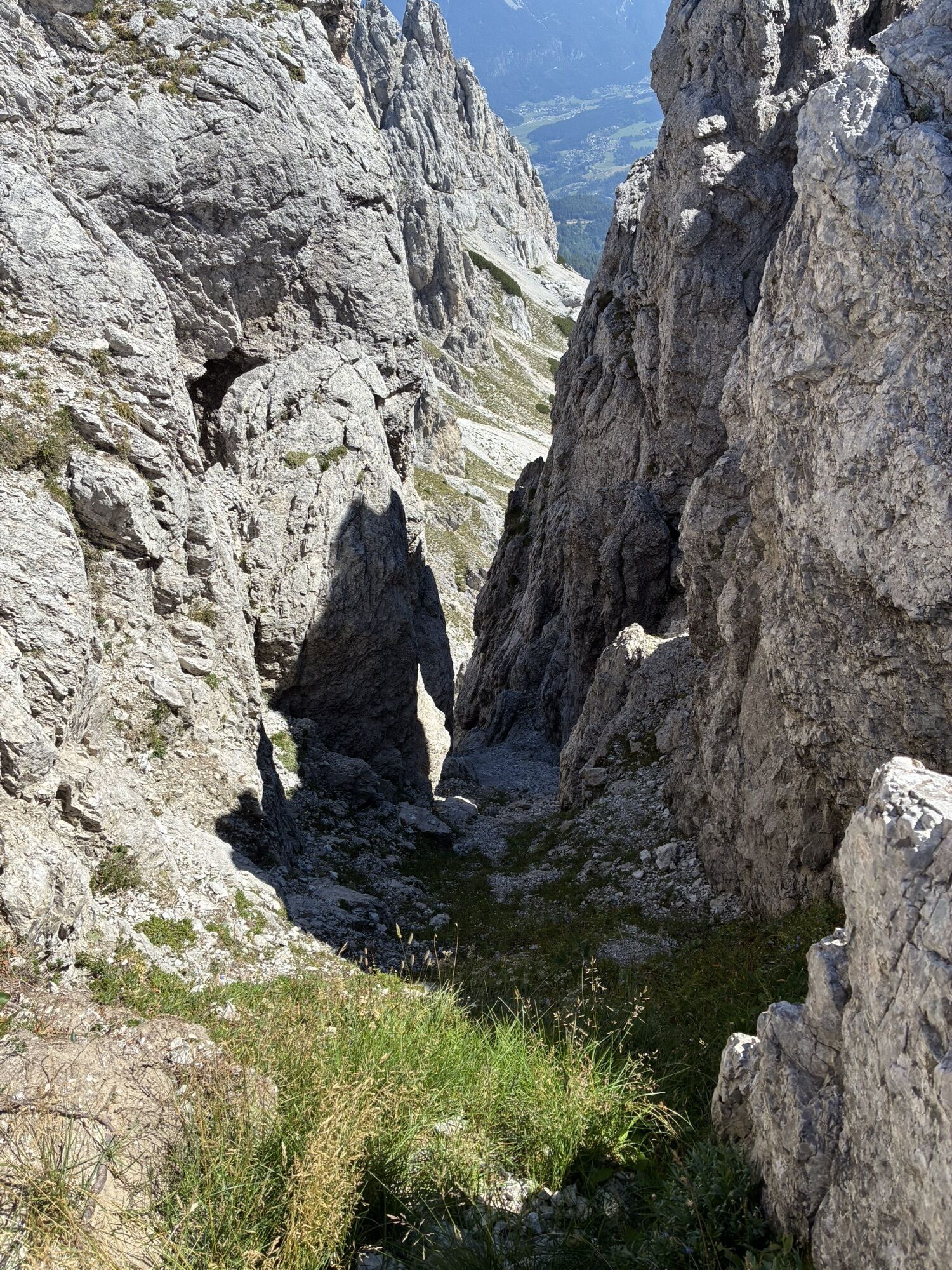
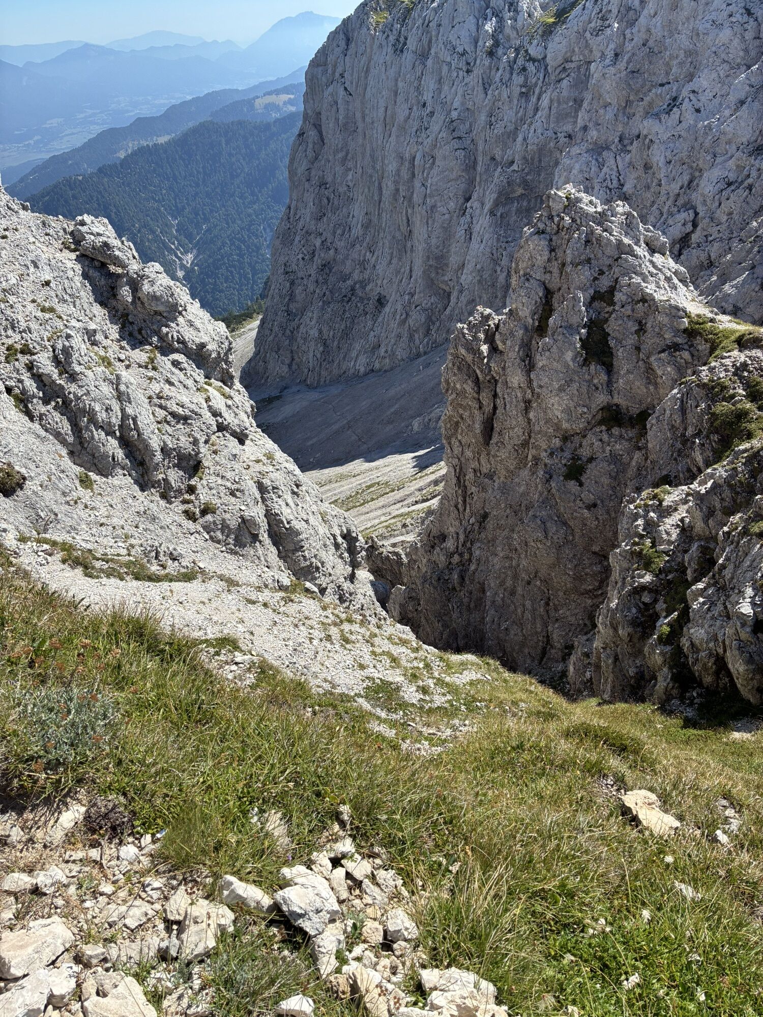
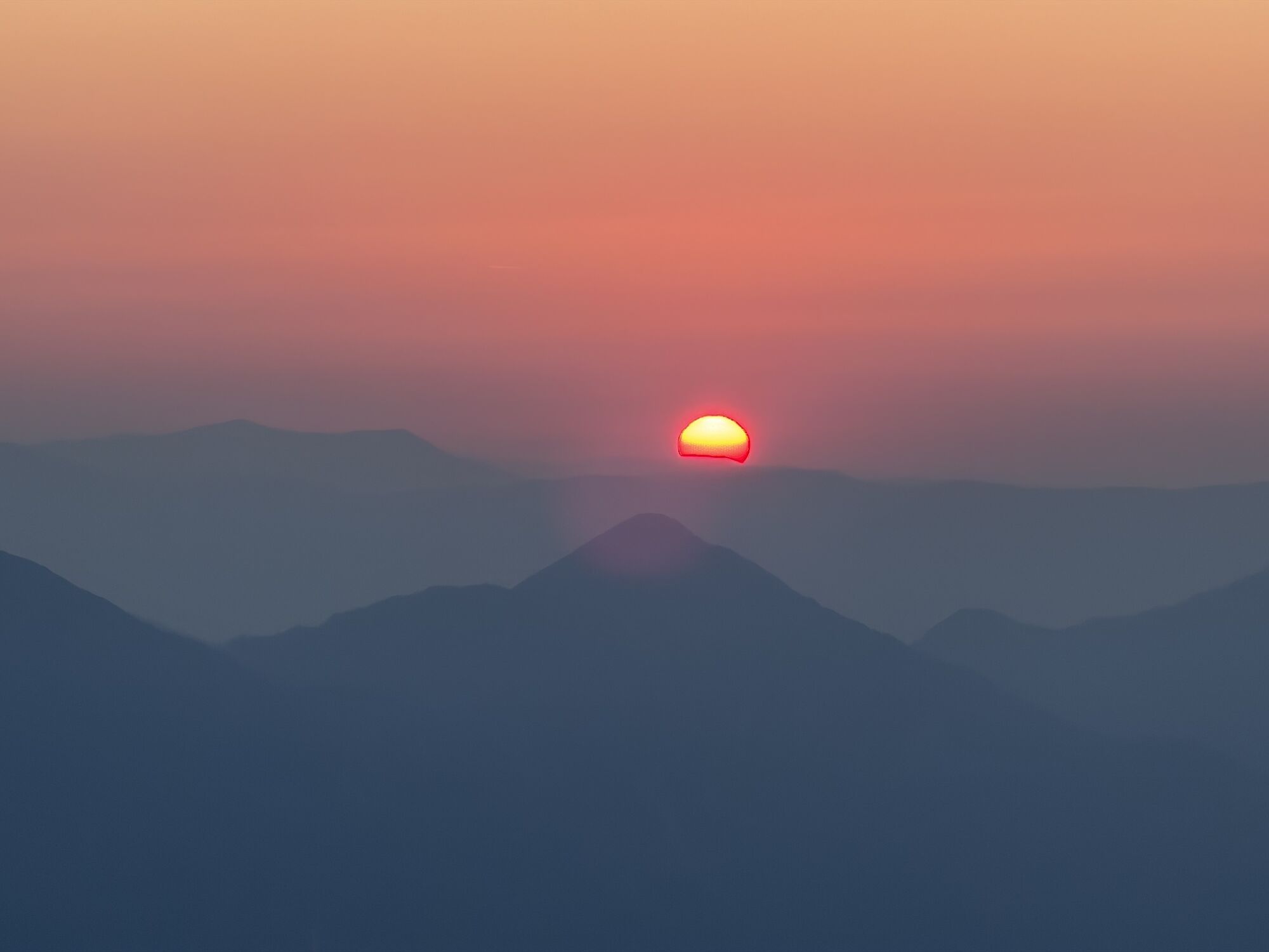
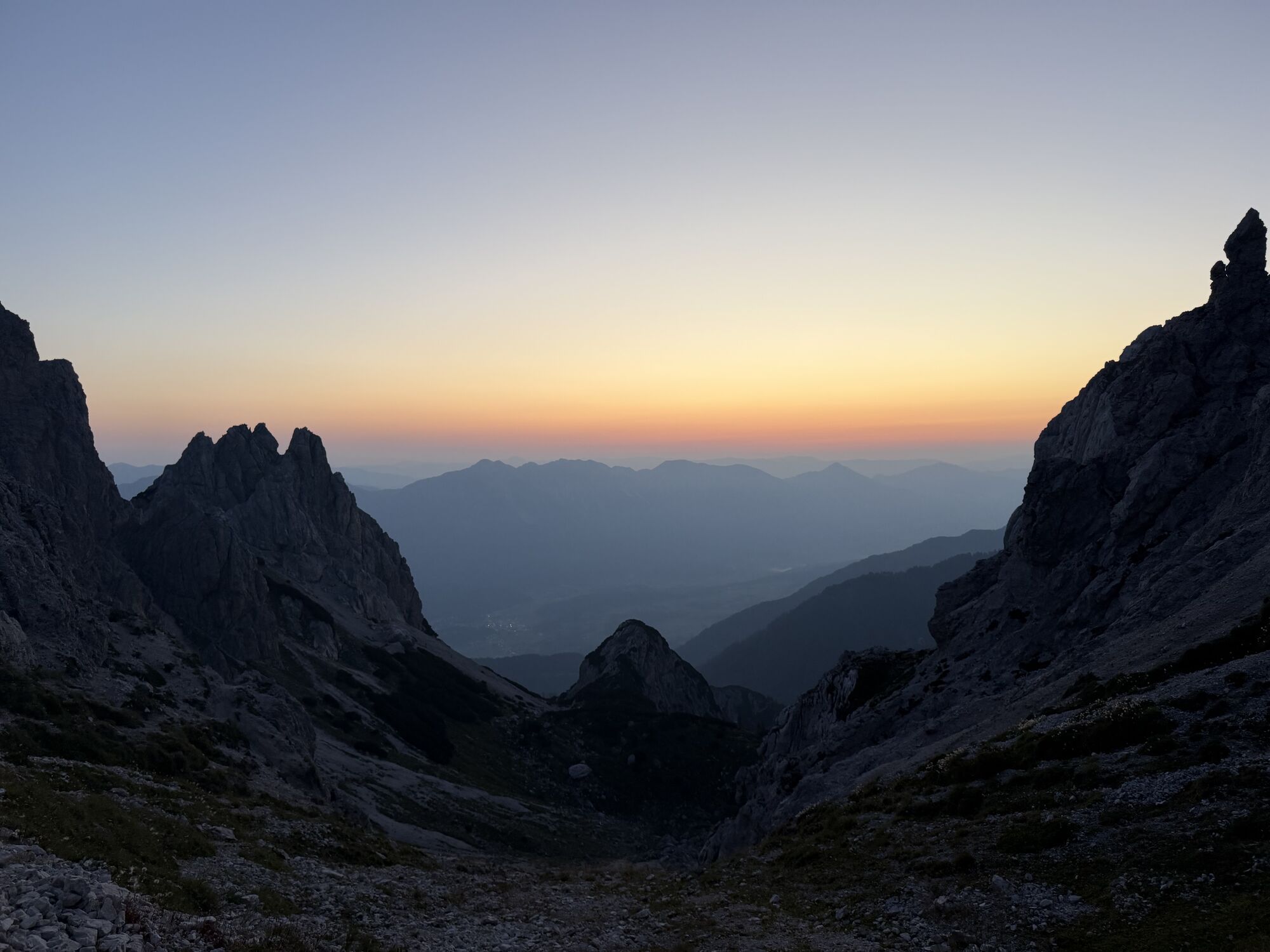
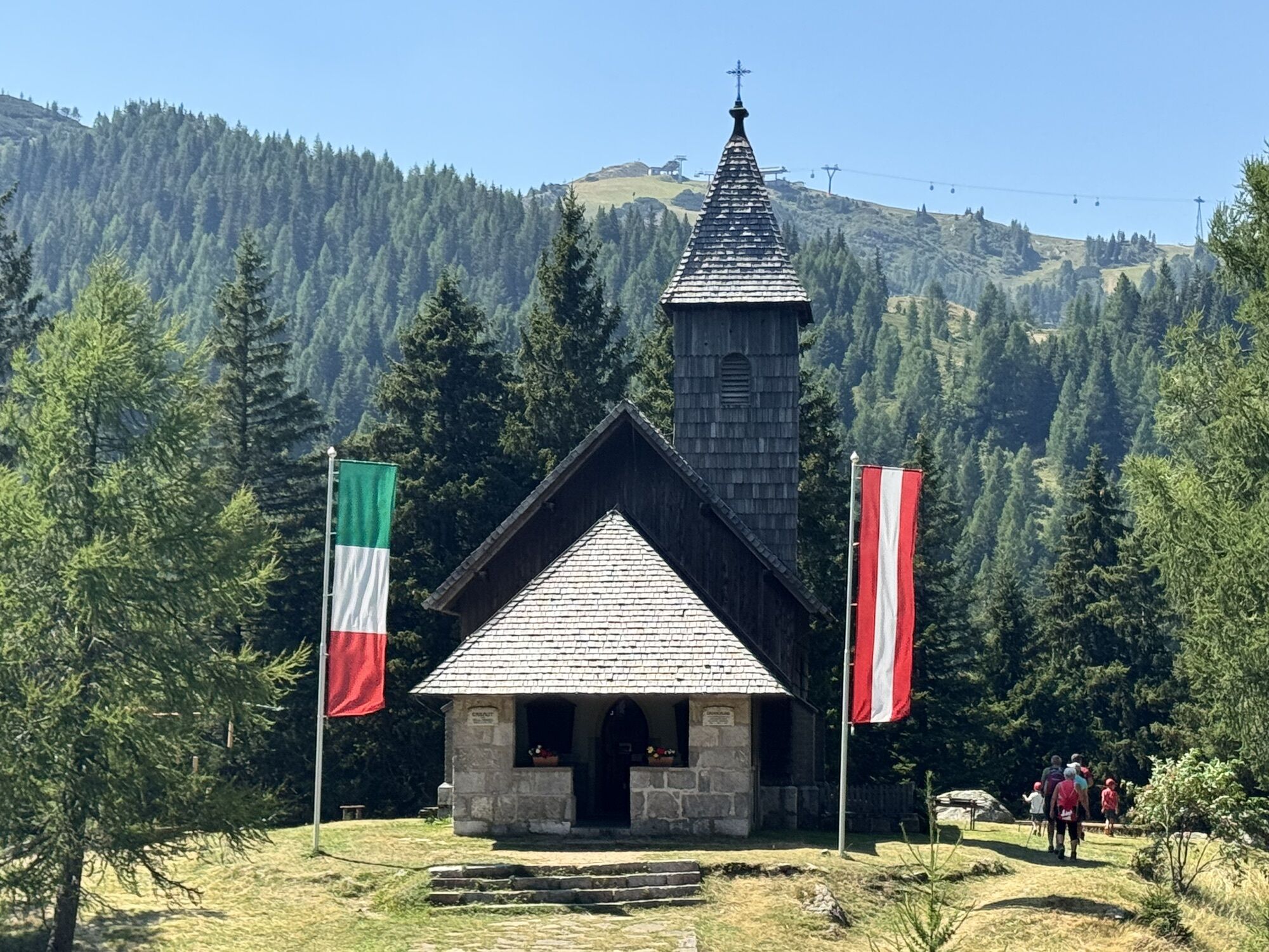
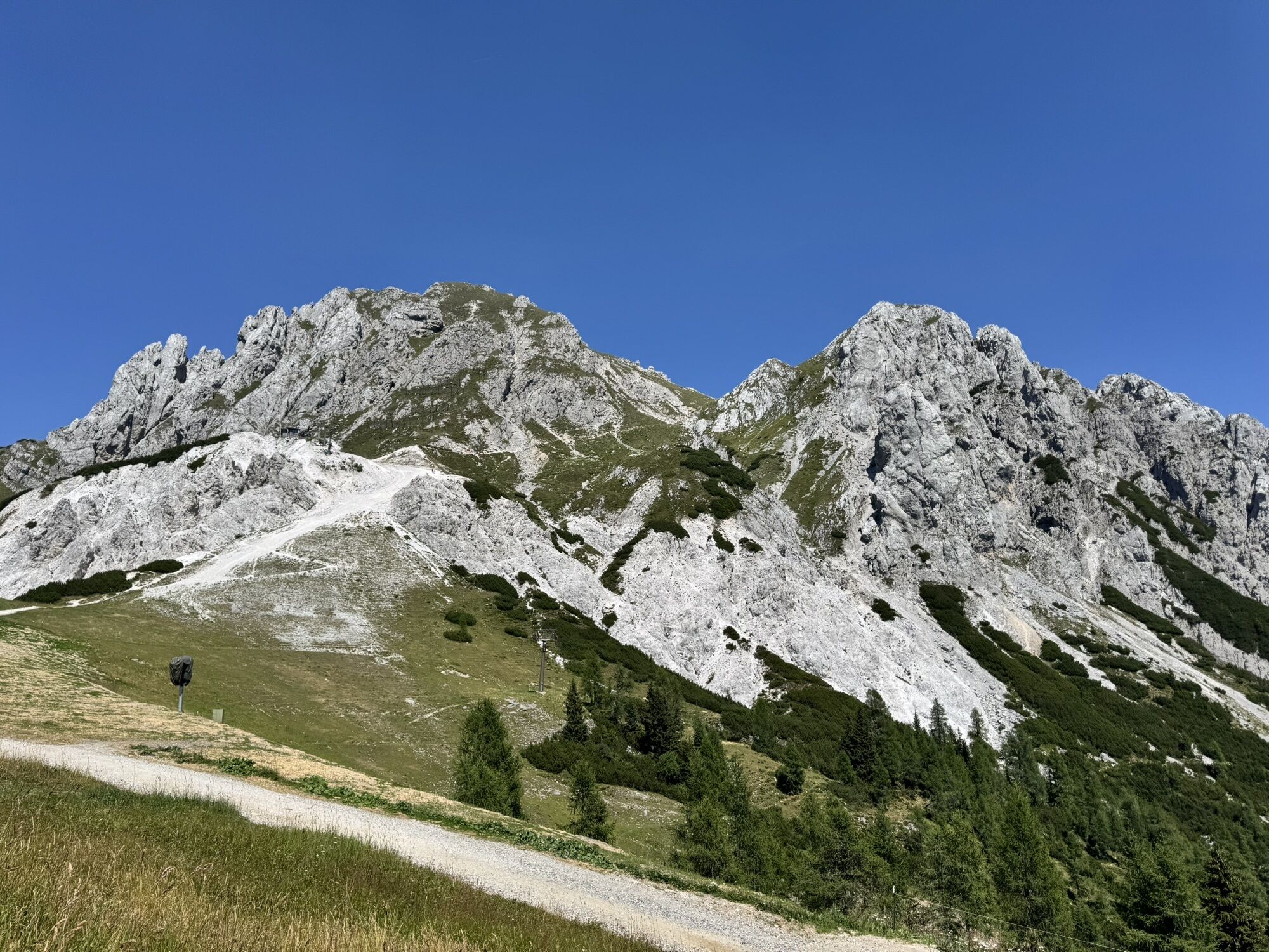
We start in the darkness of night along the Garnitzenweg to the Garnitzenthörl, where we see the light of Luschari in the Julian Alps, a short drinking break at the mountain station of the Gartnerkofelbahn - then further at dawn towards the summit - the first dawn colors the sky, and there are repeatedly amazed looks into the valley (Hermagor Pressegger See), or upwards to the summit cross. After about 1.5 hours of walking, we stand at the summit, a warm mountain greeting, and all eyes and cameras are directed at the reddened sky.
Silent and touching moments - everyone perceives the sunrise differently - but all agree - it is a special experience!
With many photos on the memory card, we make our way to the Watschiger Alm, enjoying the good alpine breakfast with wonderfully fragrant coffee, hearty alpine products, and delicious Reindling.



Along the Garnitzenweg to the Garnitzenthörl, a short break at the mountain station of the Gartnerkofel chairlift, over the ski slope to the mountain station of the FIS lift and further towards the summit. Afterwards, a hearty alpine breakfast with coffee and Carinthian Reindling awaits at the Watschiger Alm.
Tak
Tak
Sturdy footwear, rain protection, pocket or headlamp, and a camera to capture the unforgettable experience!
By car, we drive the B99 "Nassfeldpassstraße" up to the pass height (border).
Unfortunately, there are no public transport connections to Nassfeld at this time.
Parking directly at the border at the Nassfeld Pass.
Info and Service Center Hermagor info@nassfeld.at or +43 (0) 4285 /8241
Registration for the guided sunrise hike at the Info and Service Center info@nassfeld.at or +43 (0) 4285 /8241

Kamery internetowe z trasy



Popularne wycieczki w okolicy
-
4,7
W5 - Naggler Alm Round Weissensee
średniMountainbike 15,8 km -
4,8
Tarvisio - Venzone (C101)
średniKolarstwo długodystansowe 64,7 km -
4,6
RW_N9 Weißenbachklamm
średniWędrówka 7,49 km -
4,6
Bergstation Weißensee bis Golz
średniWędrówka 14,8 km -
5,0
Bodenalm - Ostufer - mit dem Schiff zurück
Mountainbike 19,1 km -
5,0
Nassfeld Grenze - Gartnerkofel
światłoWędrówka 8,41 km -
4,9
Weißenbachklamm
ciężkiWędrówka 5,80 km -
4,3
Slow Trail Pressegger See RW_N16
światłoWędrówka 5,78 km -
4,7
Poludnig - der Fast-Zweitausender hihi
średniWędrówka 12,4 km -
4,6
ST_N7 Gartnerkofel (2,195 m)
Wycieczka narciarska 3,94 km
Wędrówki i tropienie


Nie przegap ofert i inspiracji na następne wakacje
Twój adres e-mail została dodana do listy mailingowej.


