







ST_N7 Gartnerkofel (2,195 m)

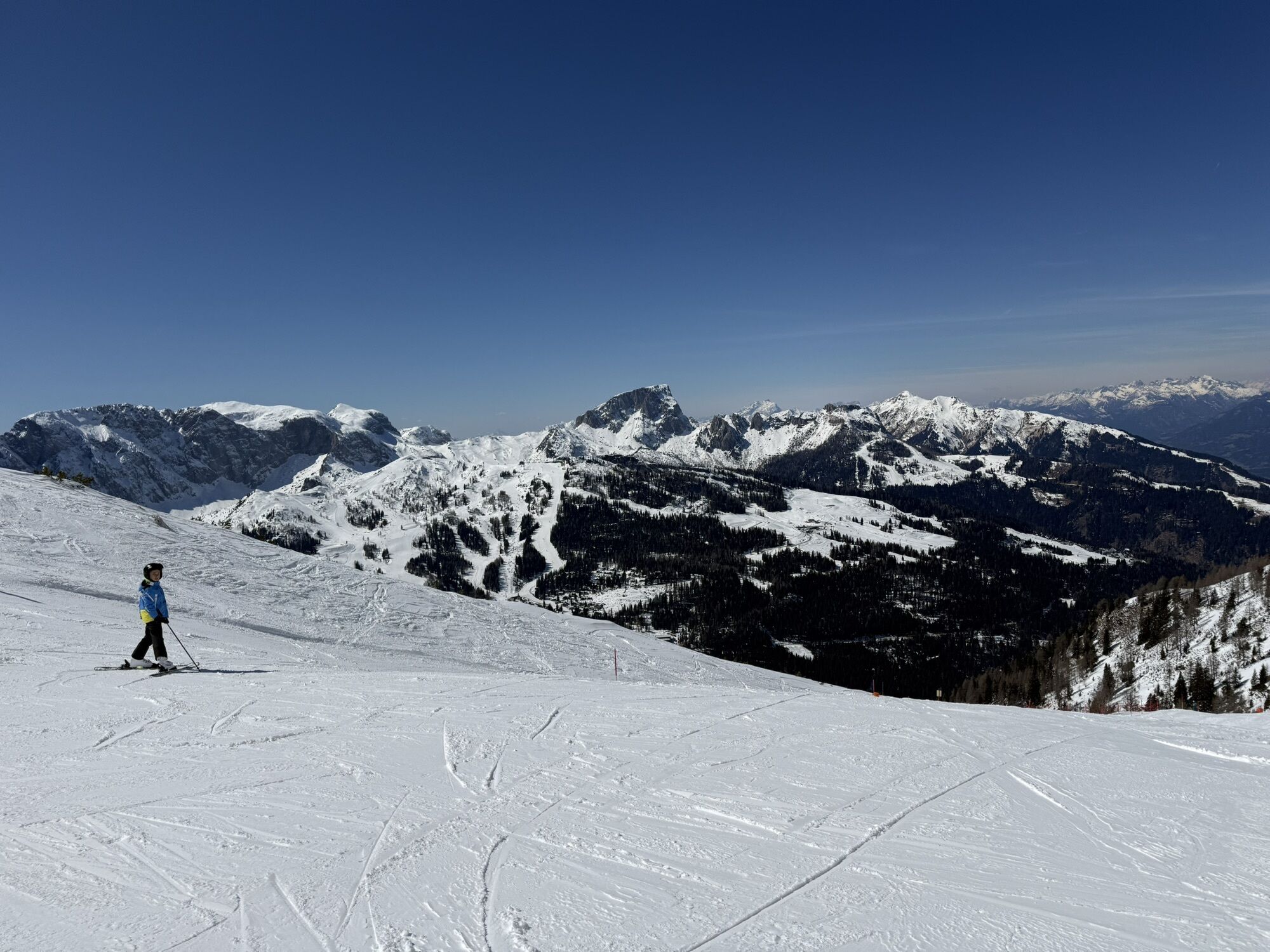
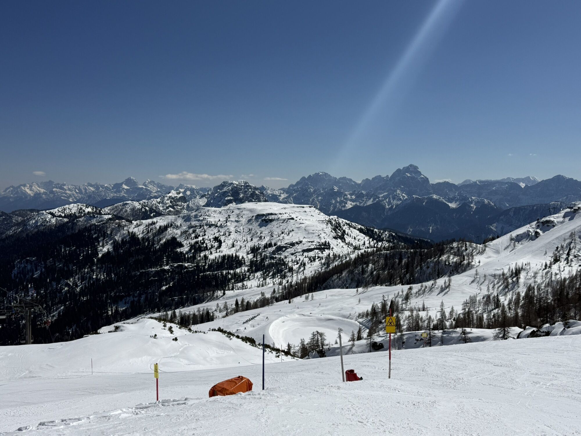
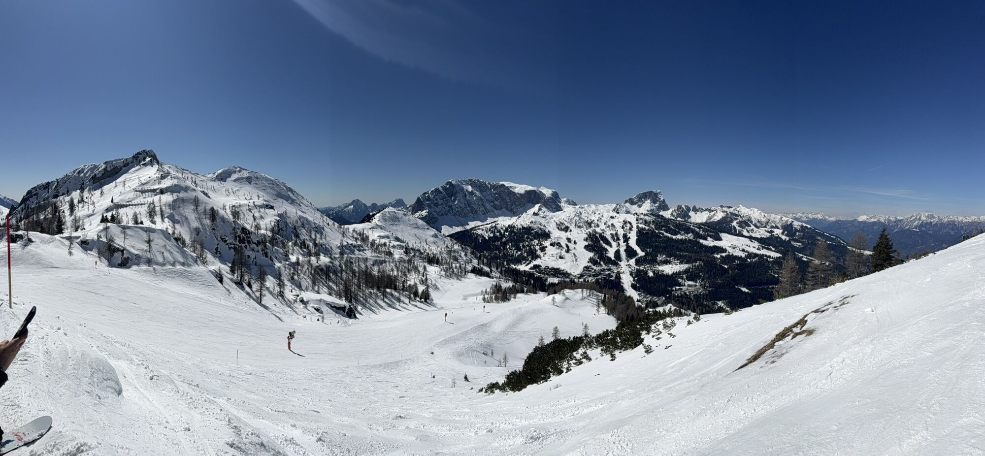
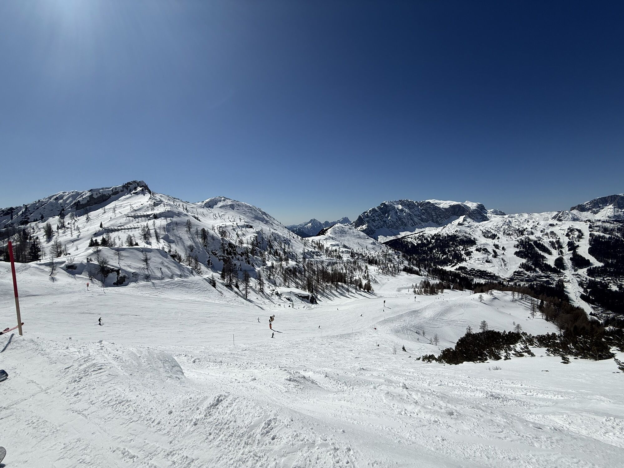
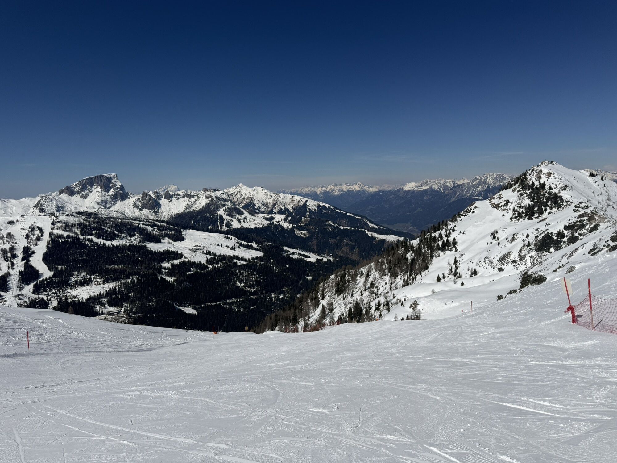
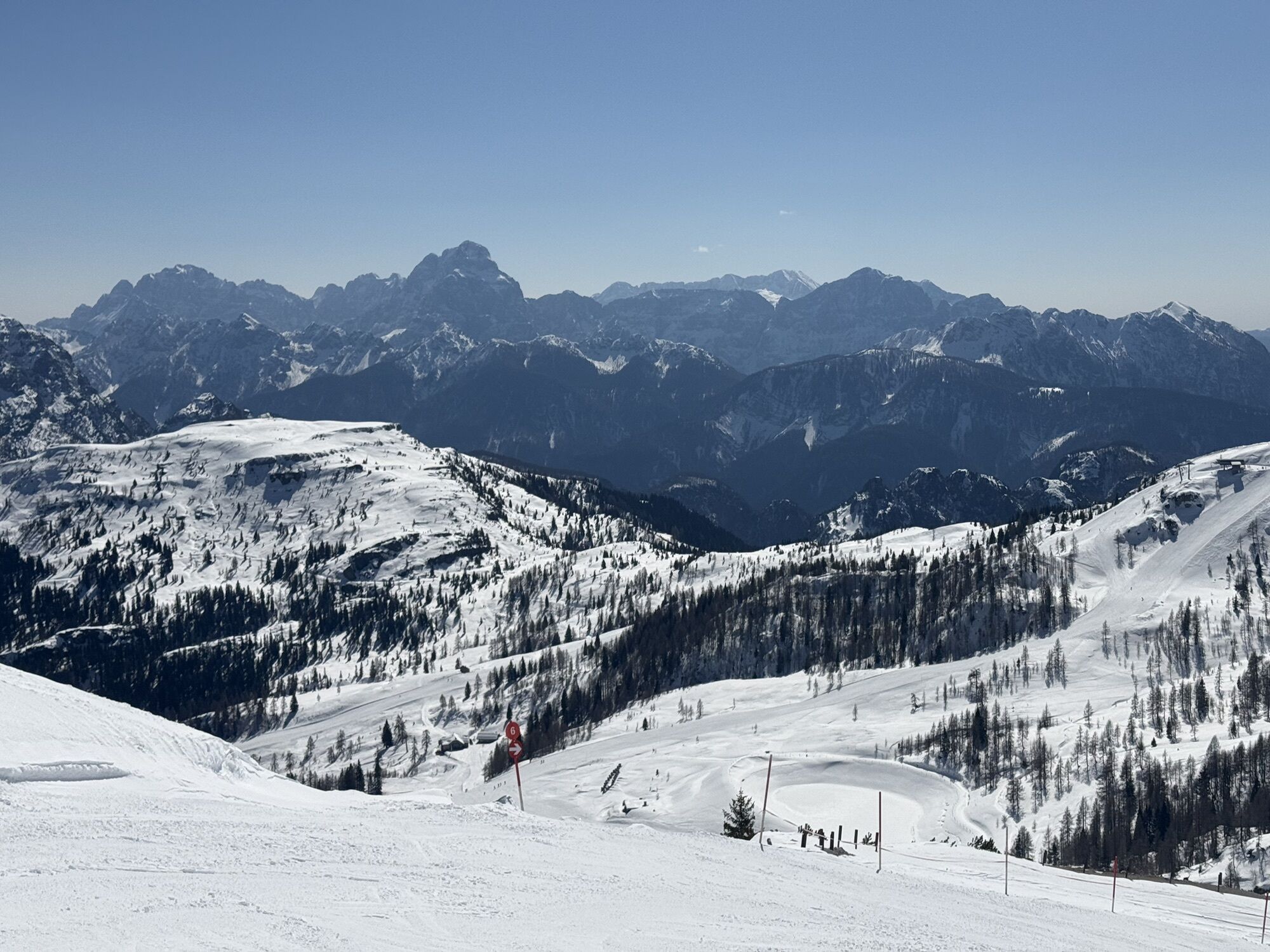
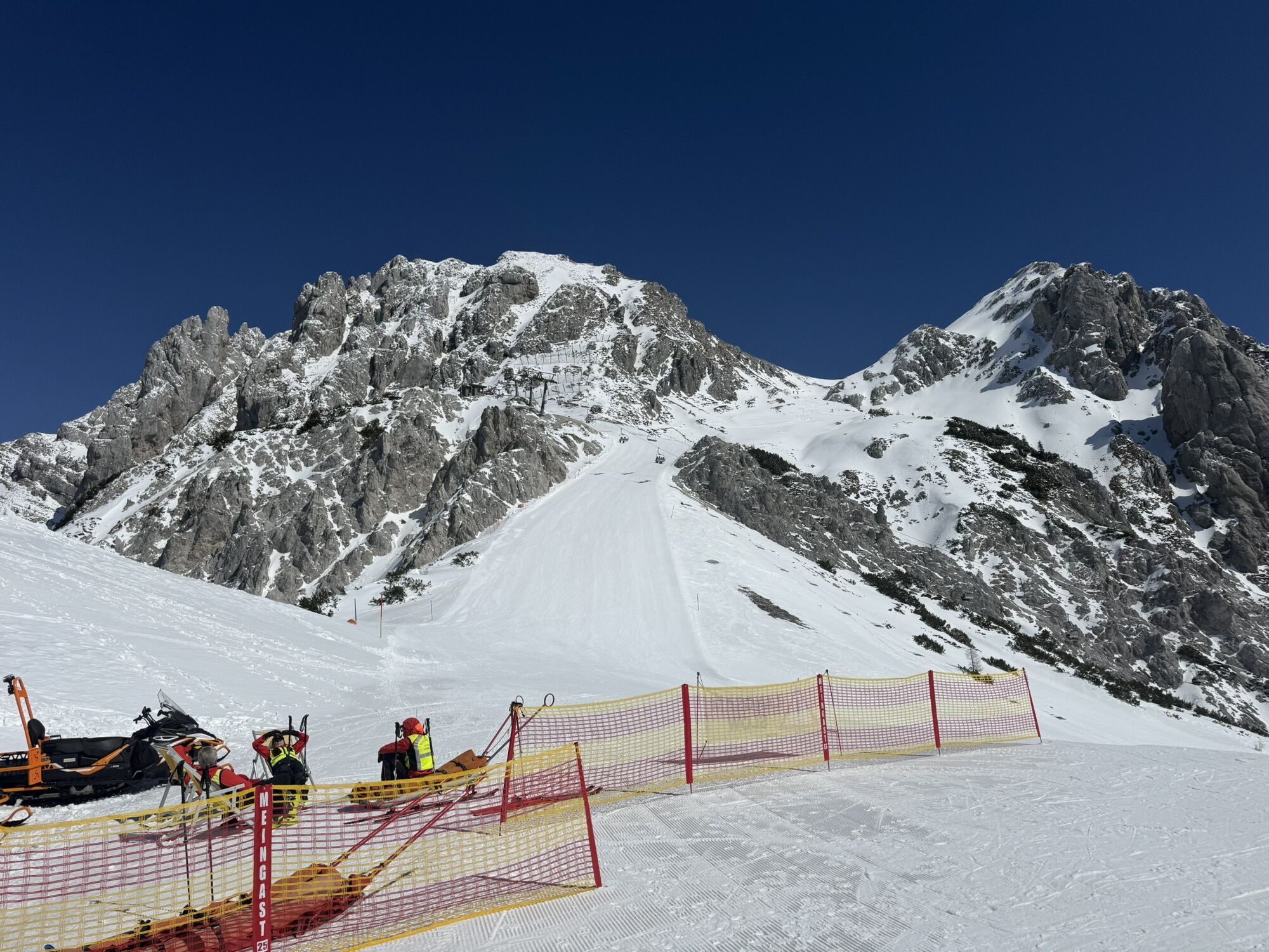
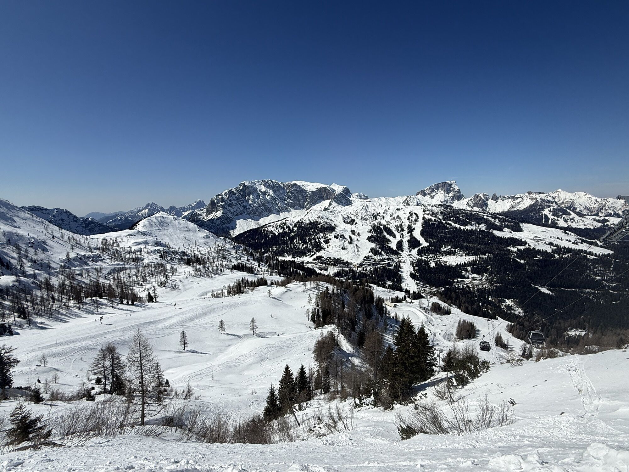
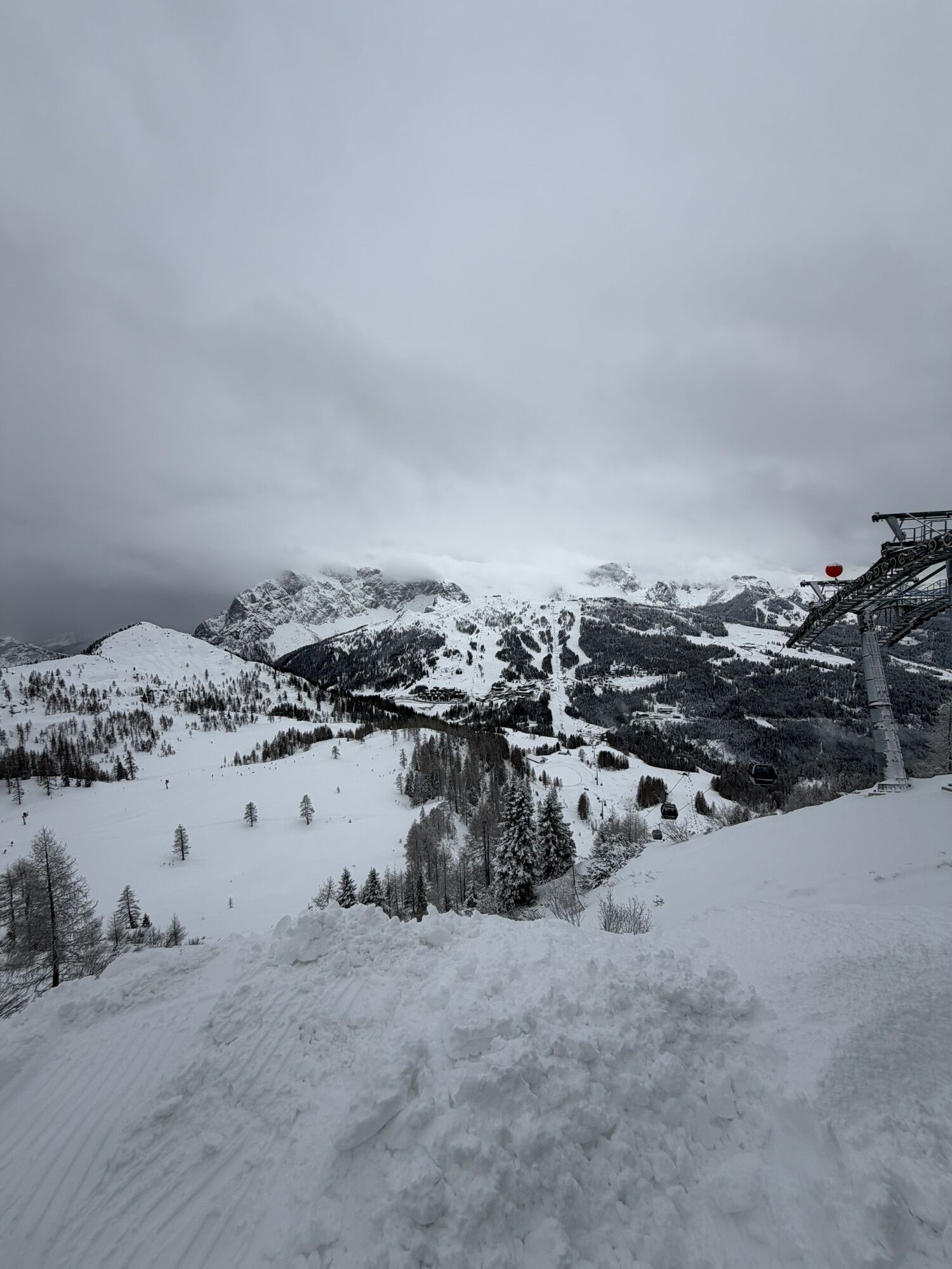
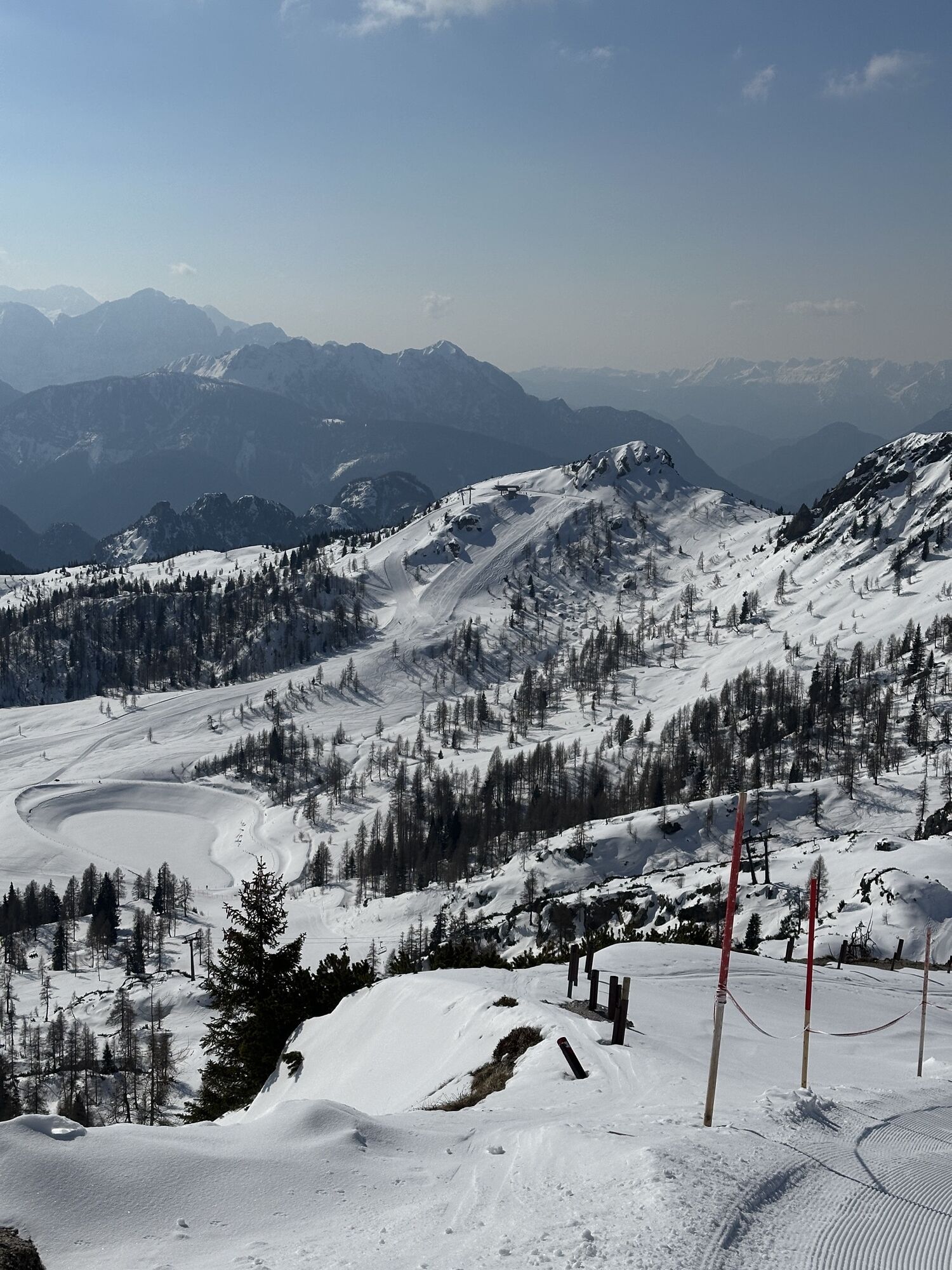
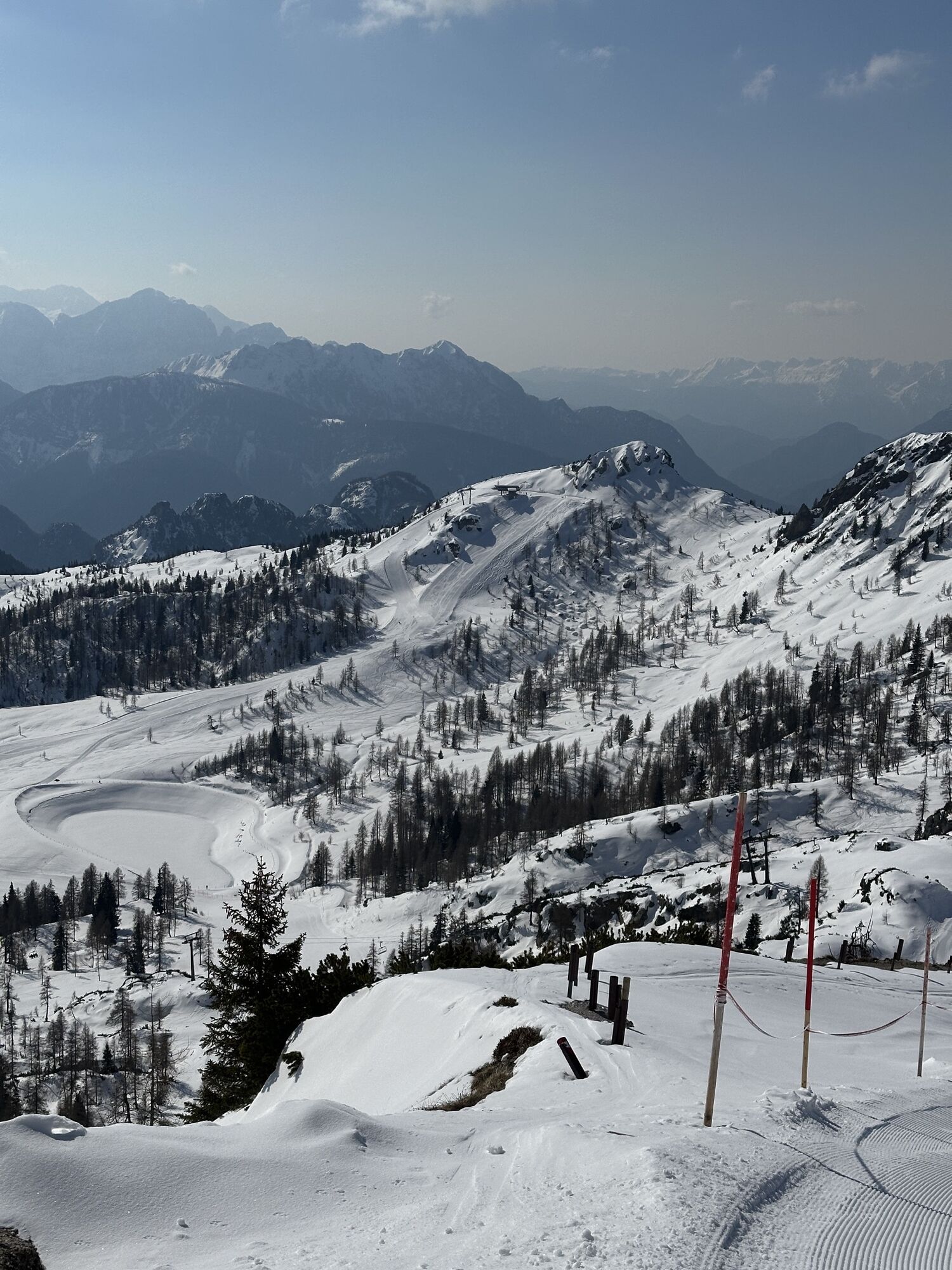
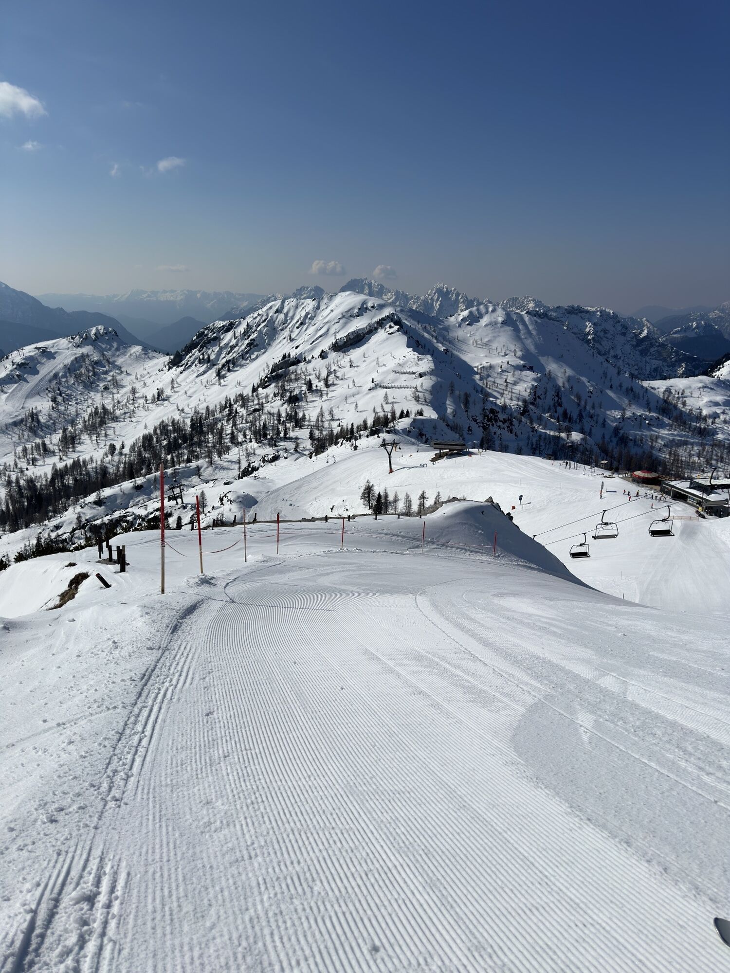
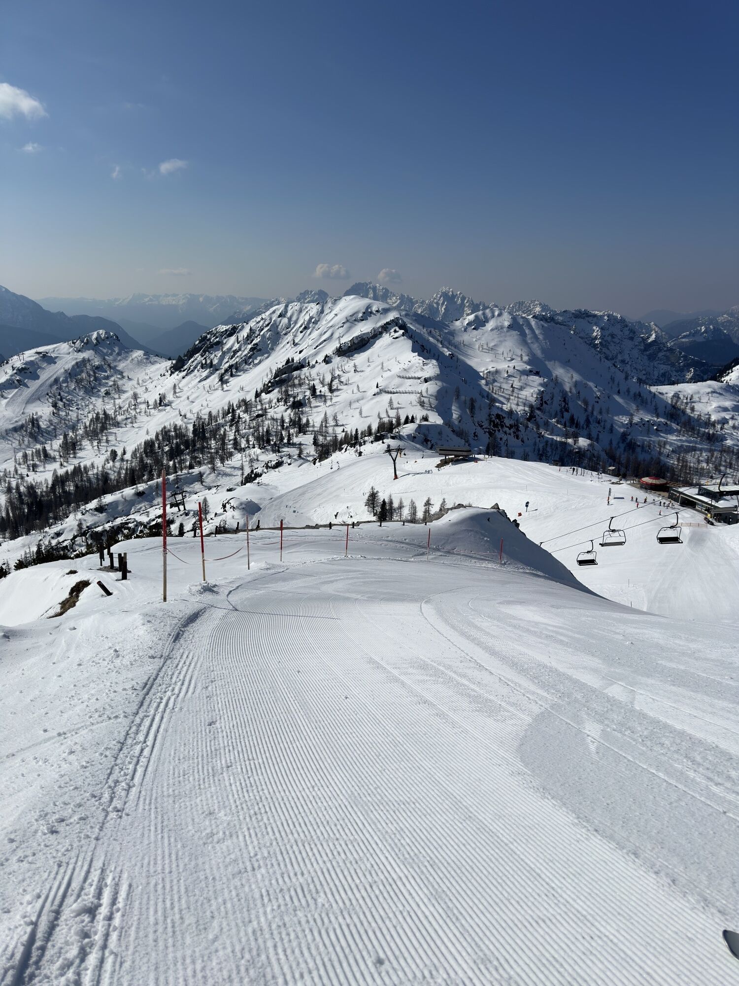
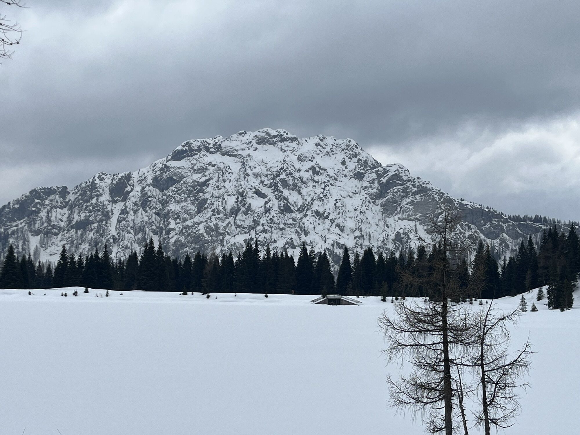
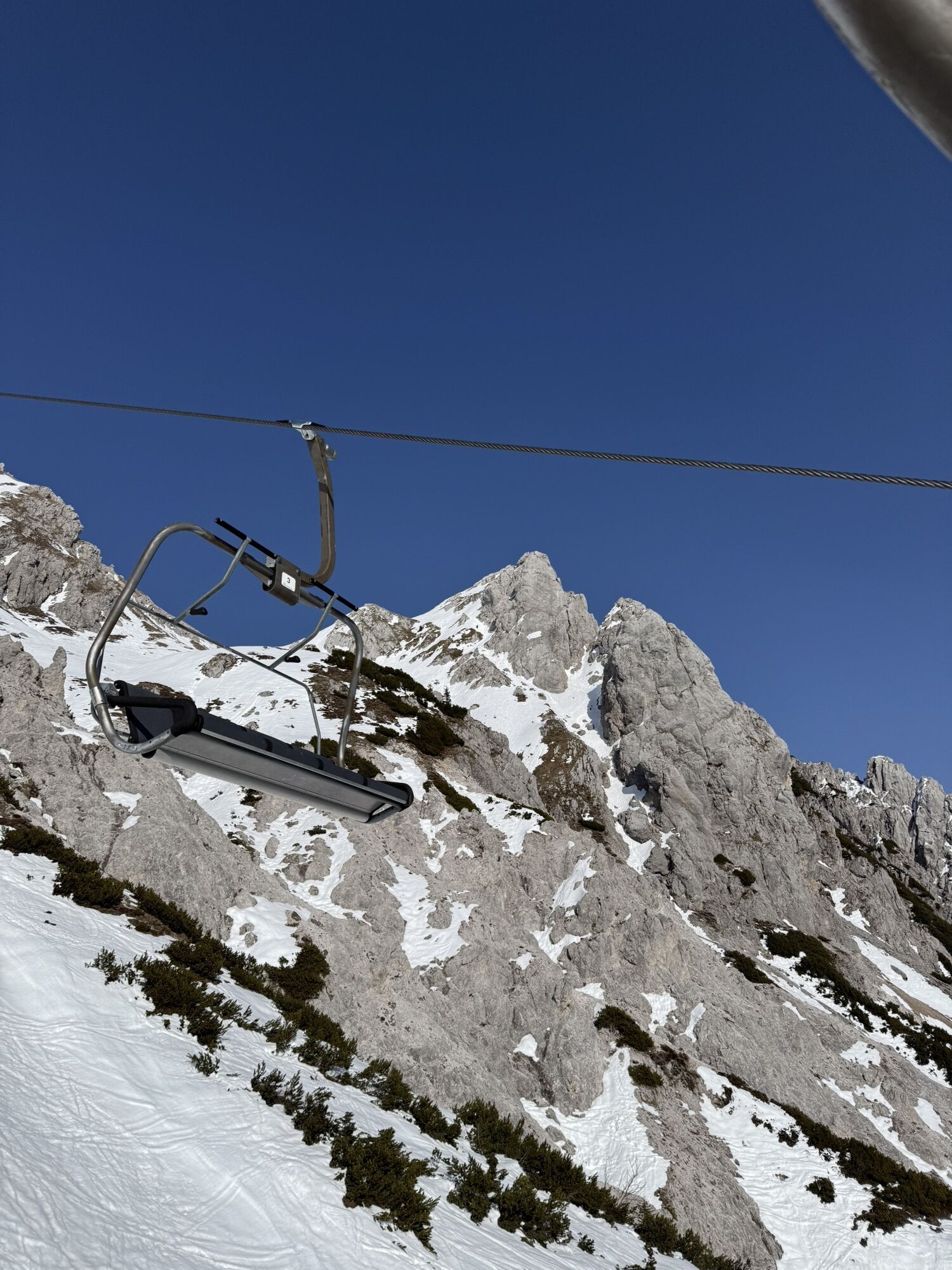
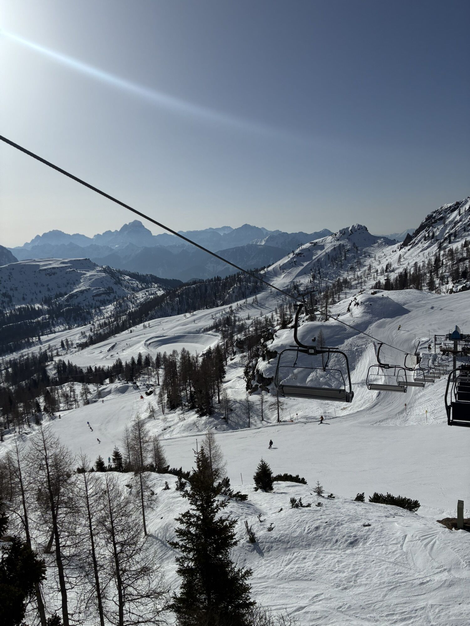
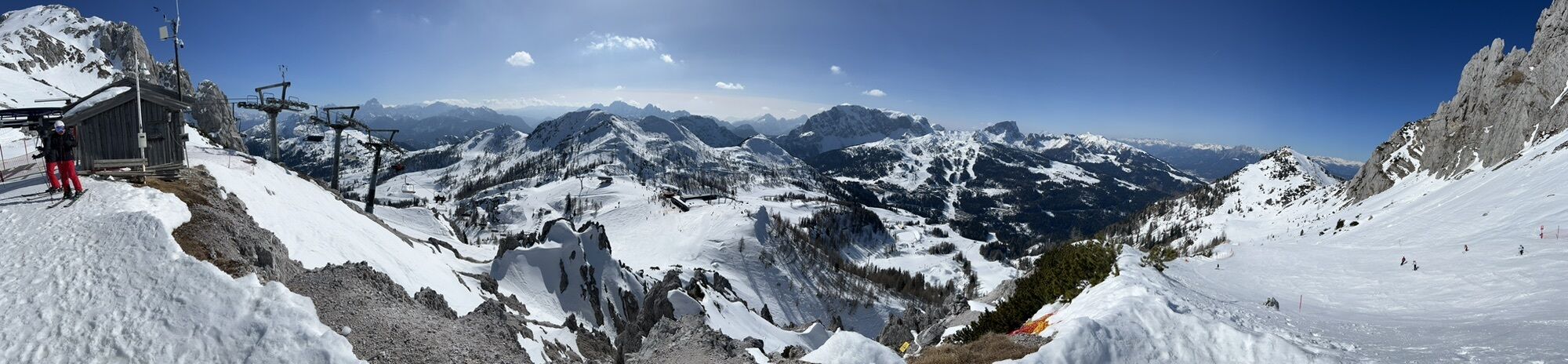
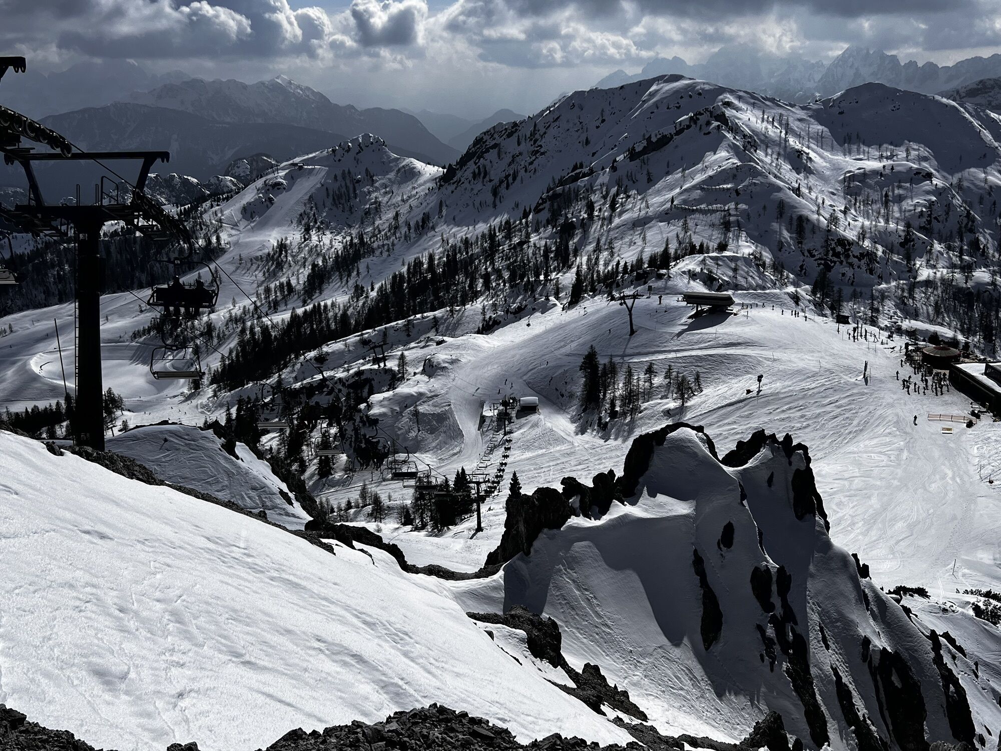
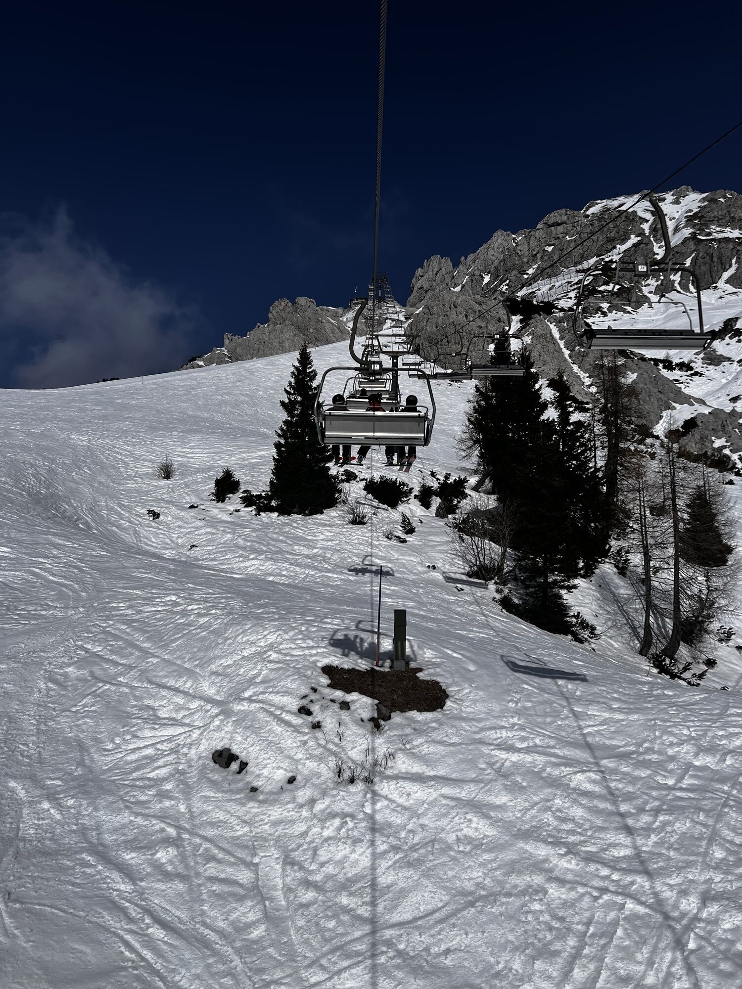
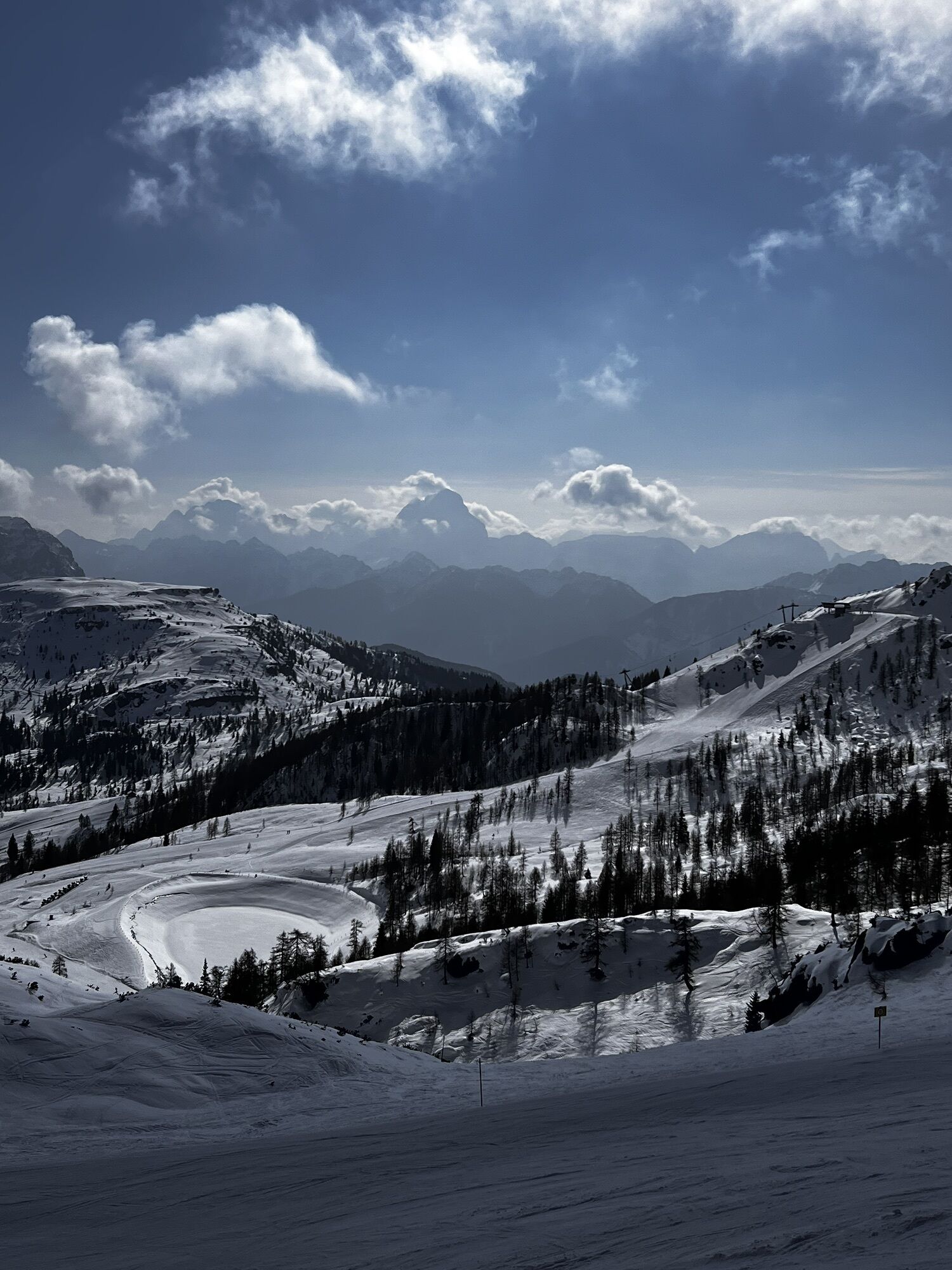
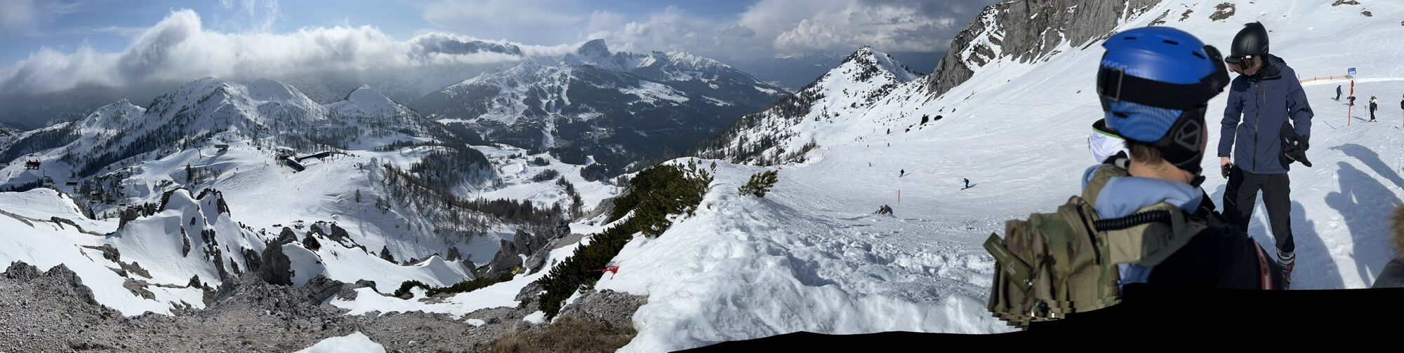
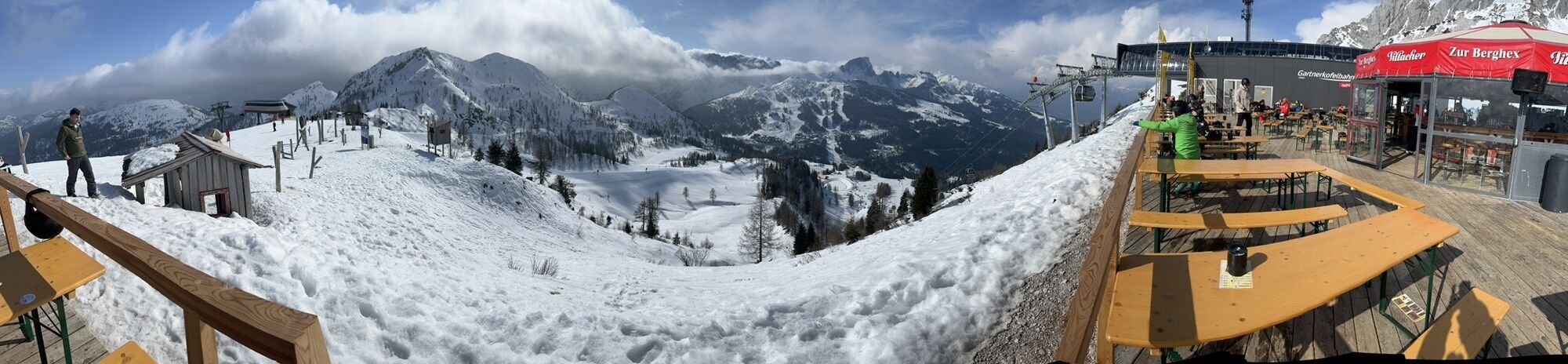
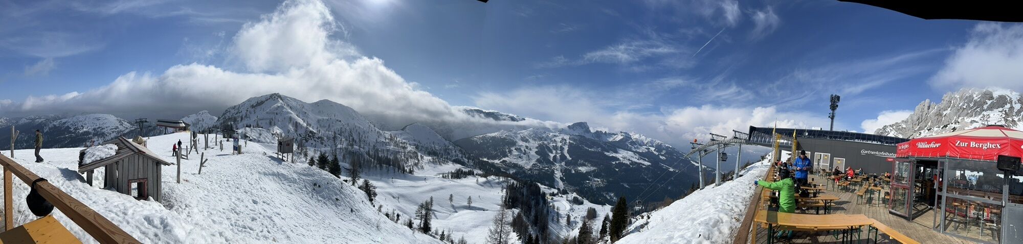

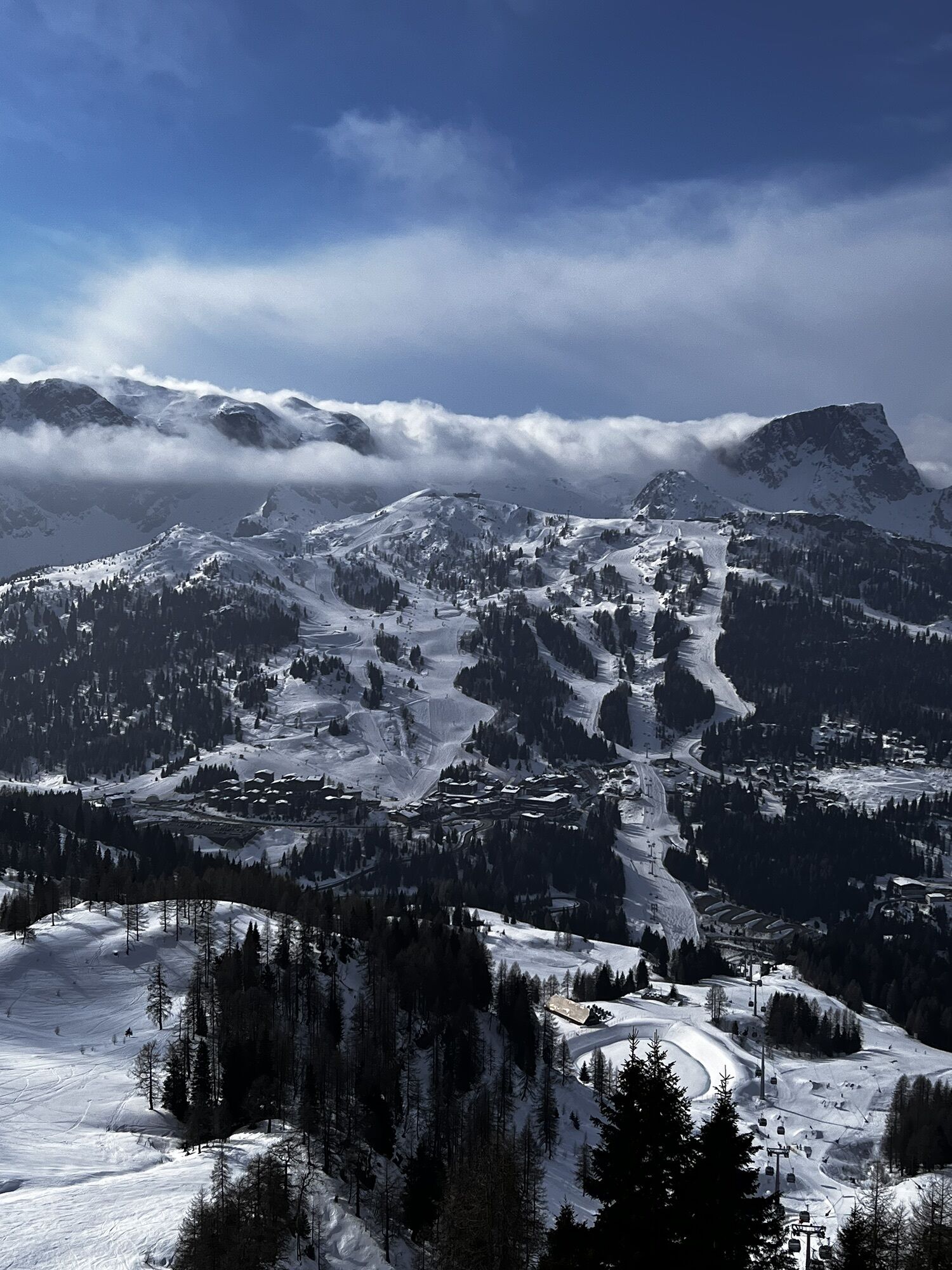
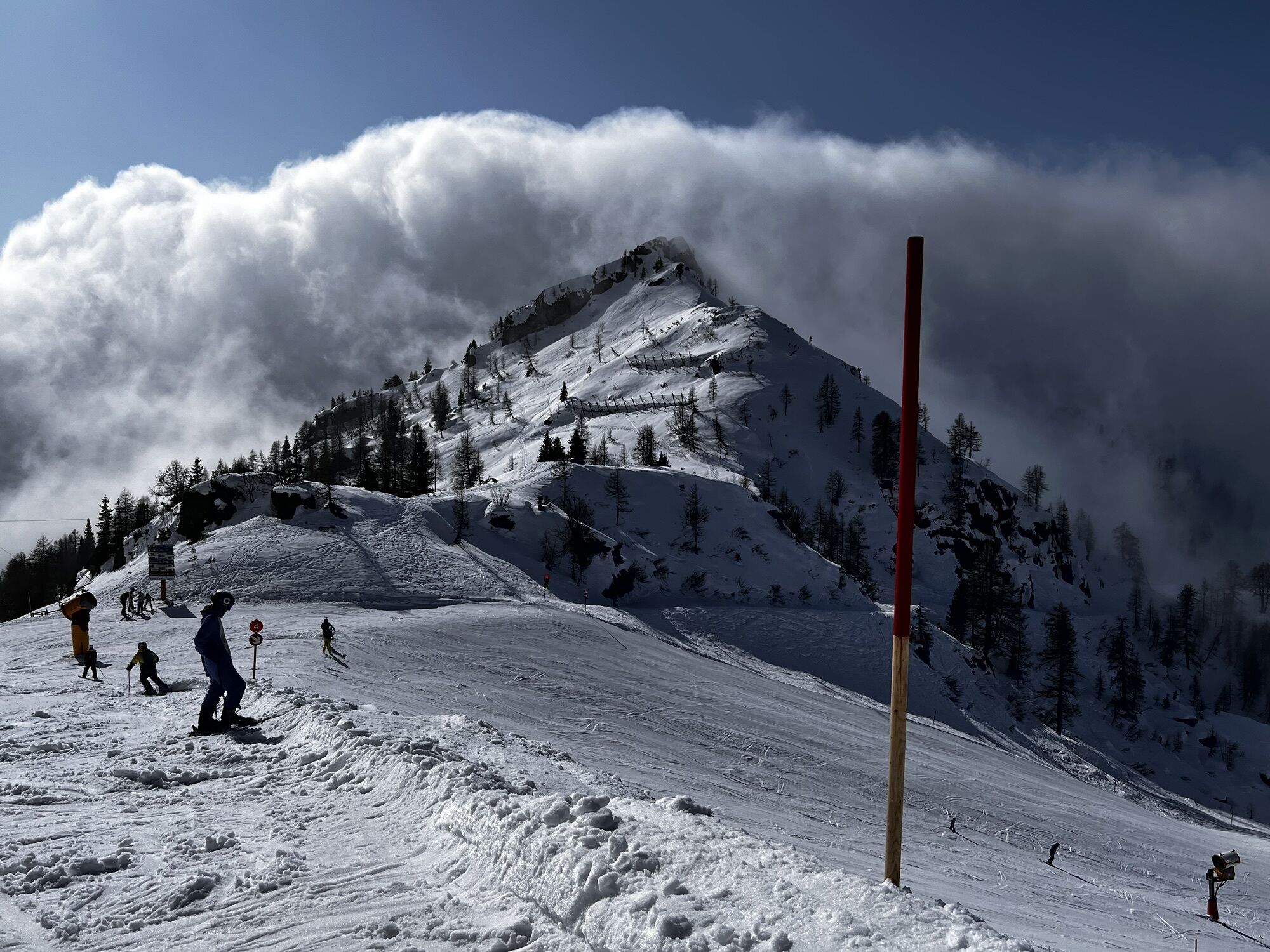
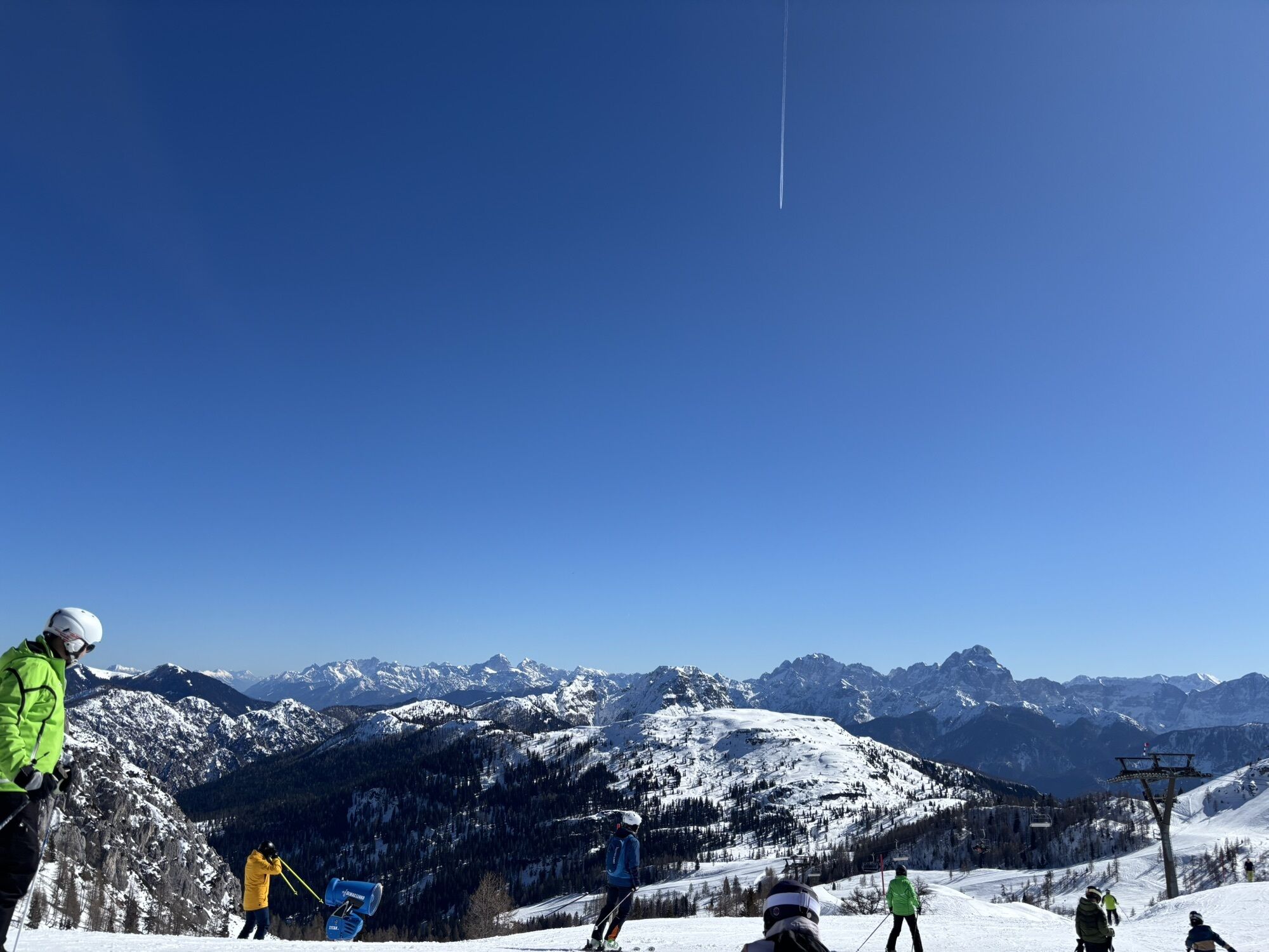
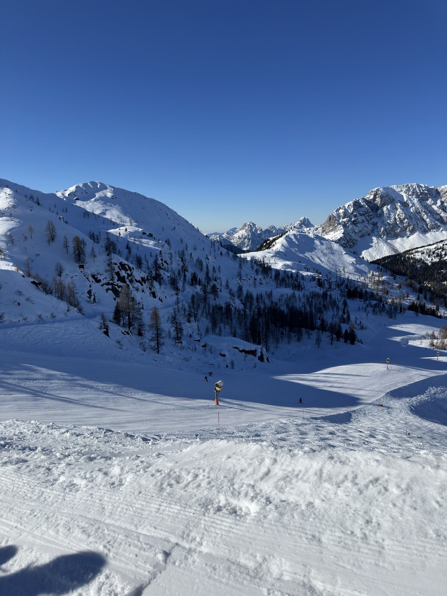
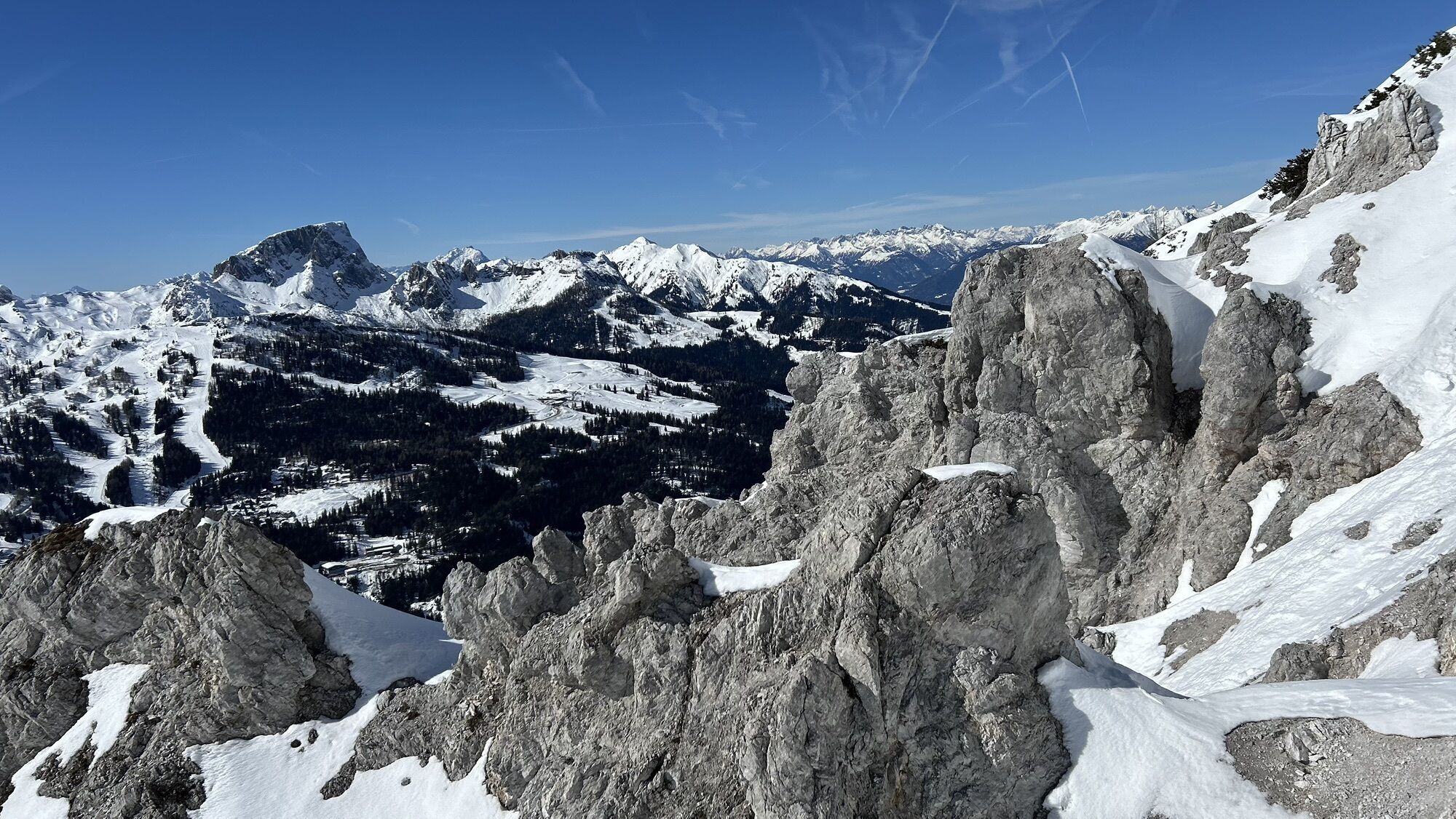
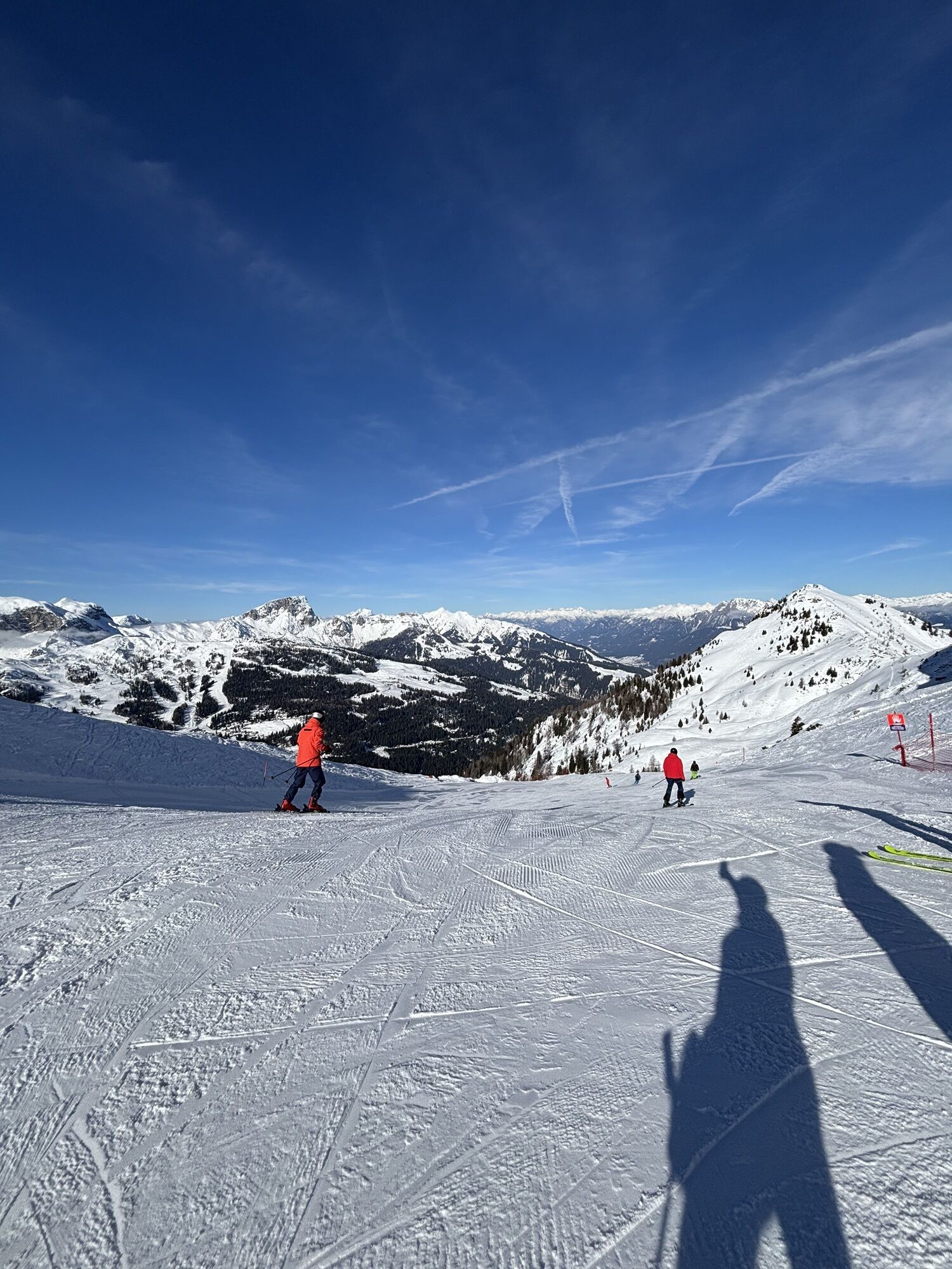
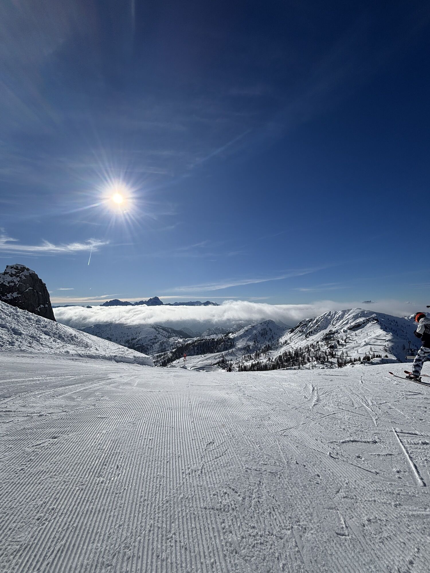
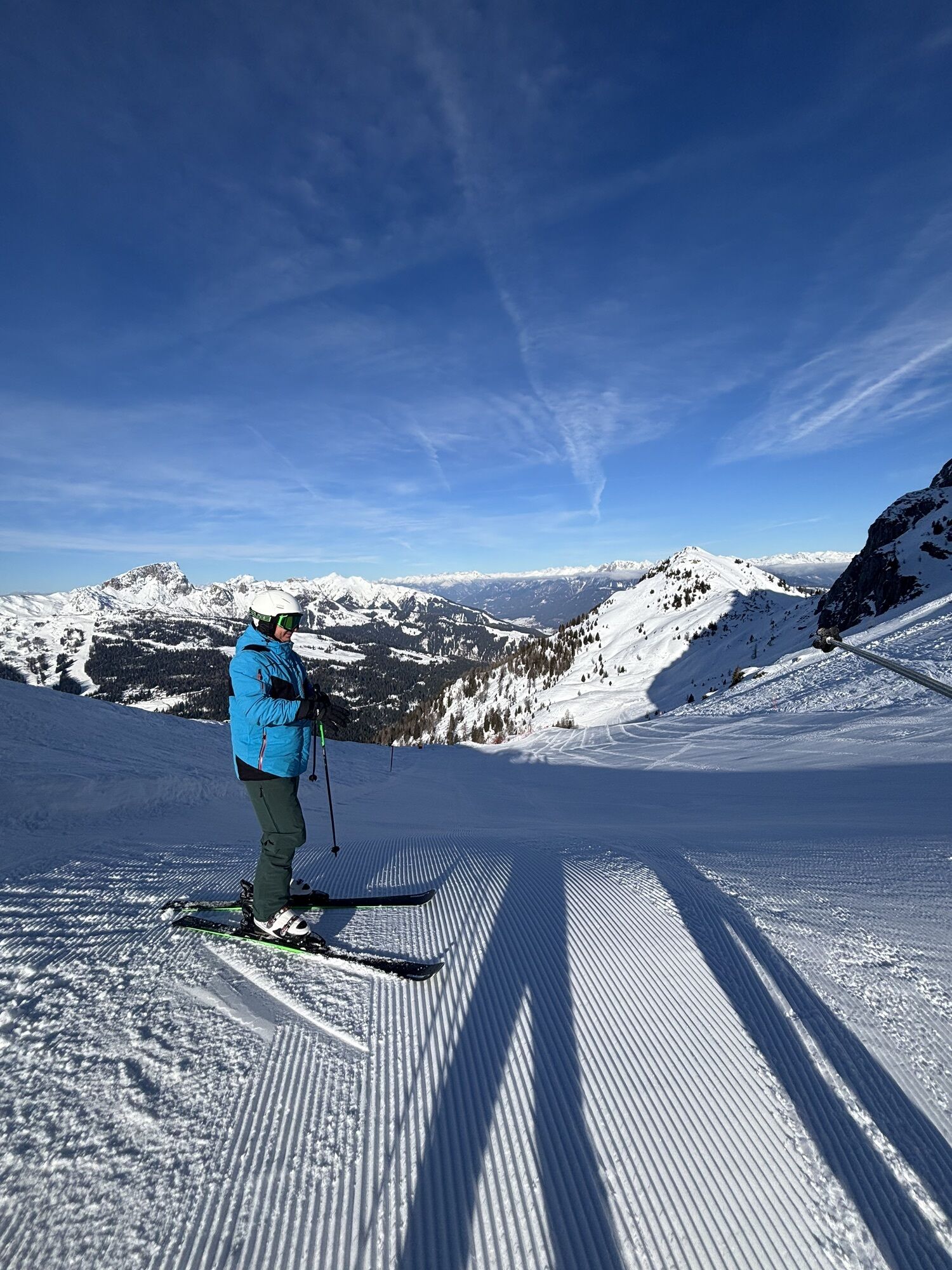
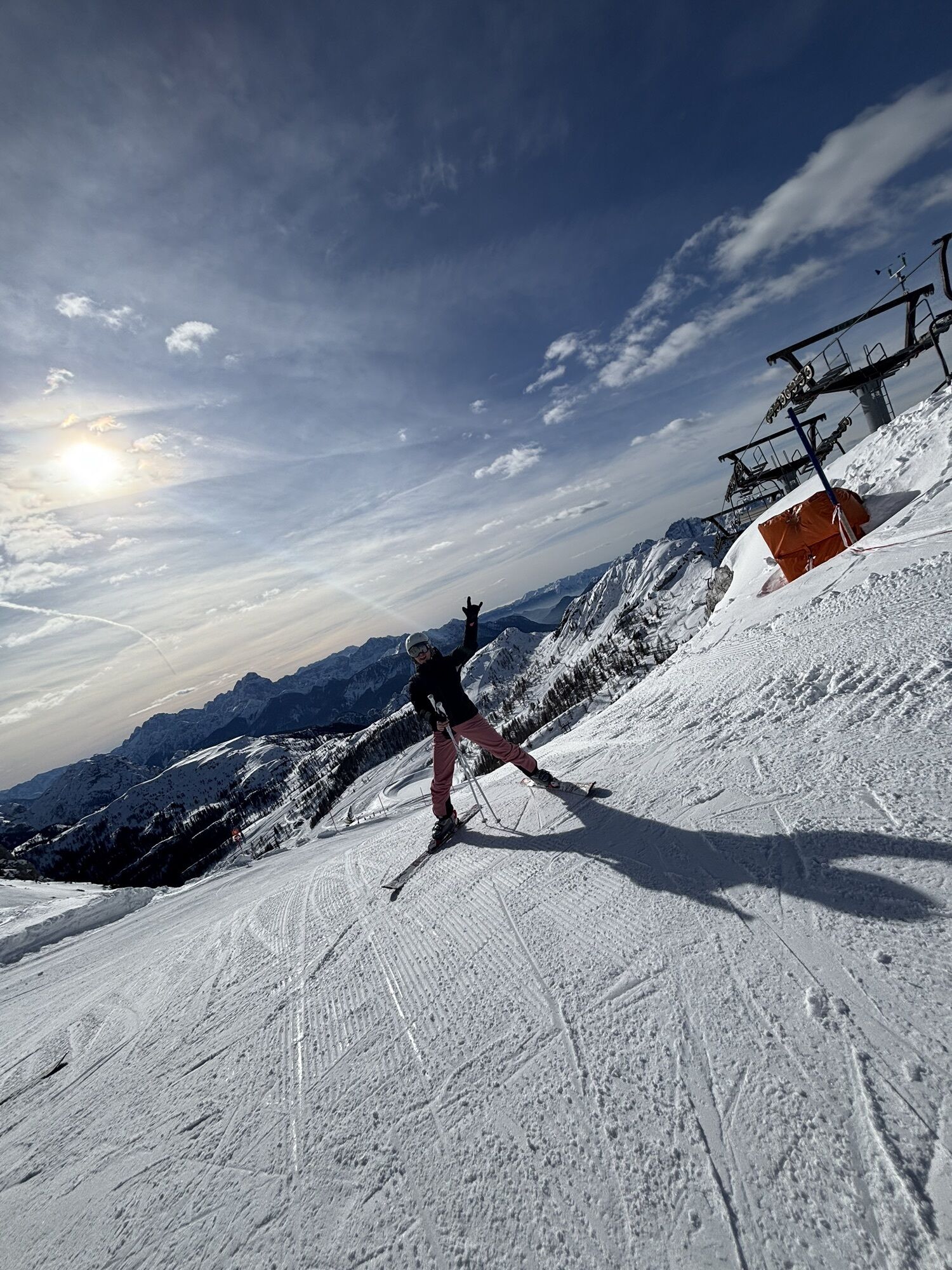
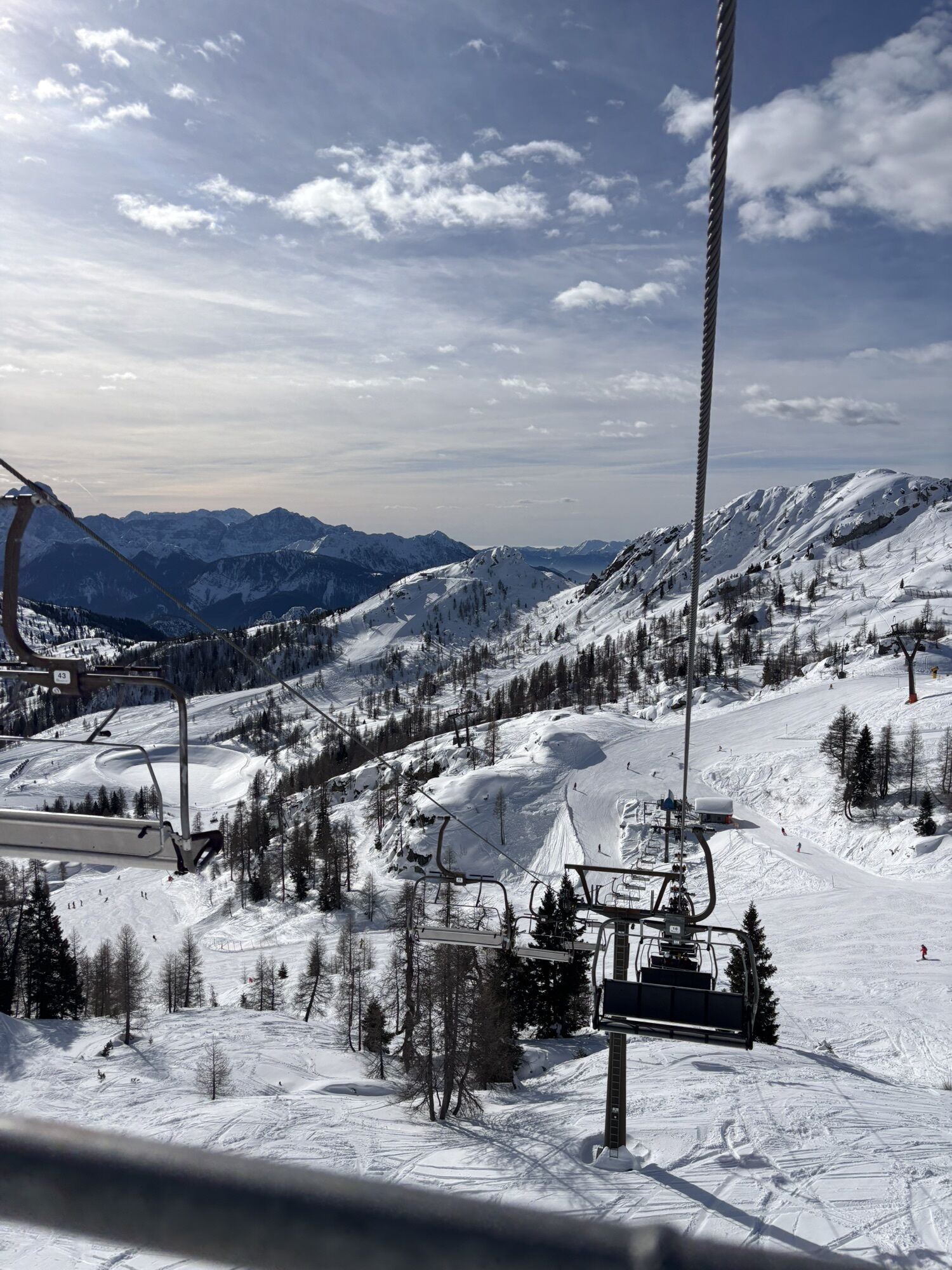
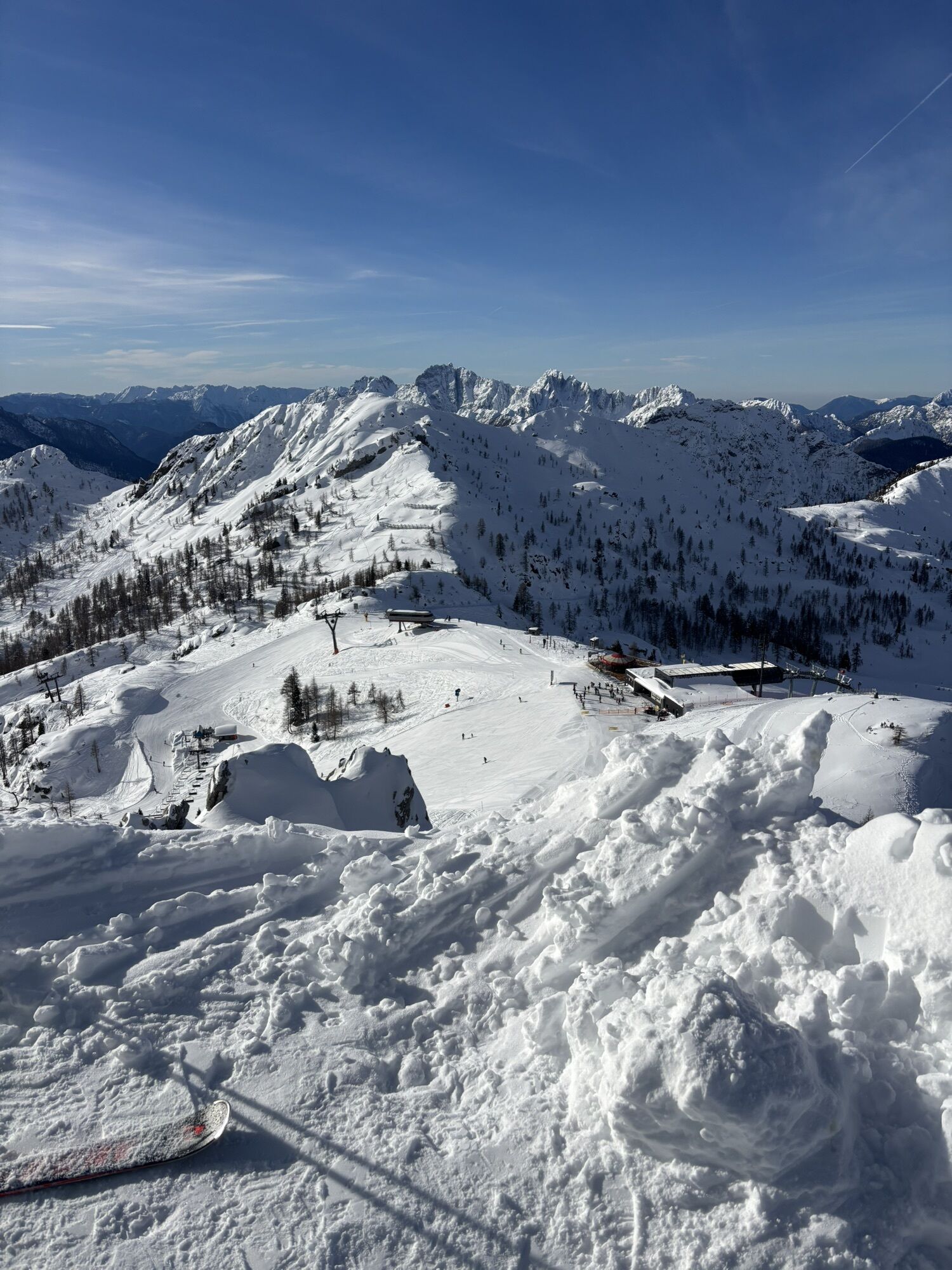
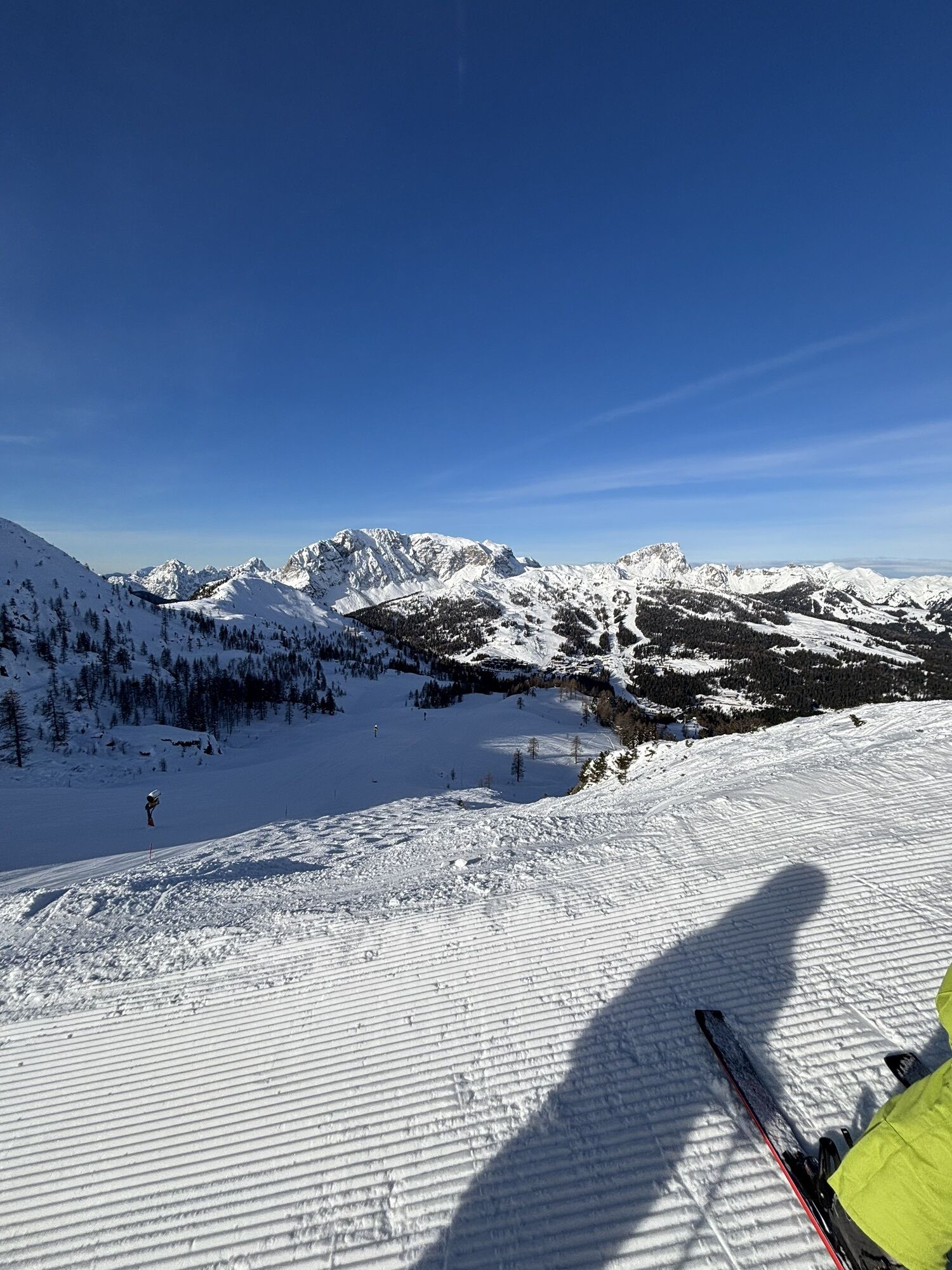
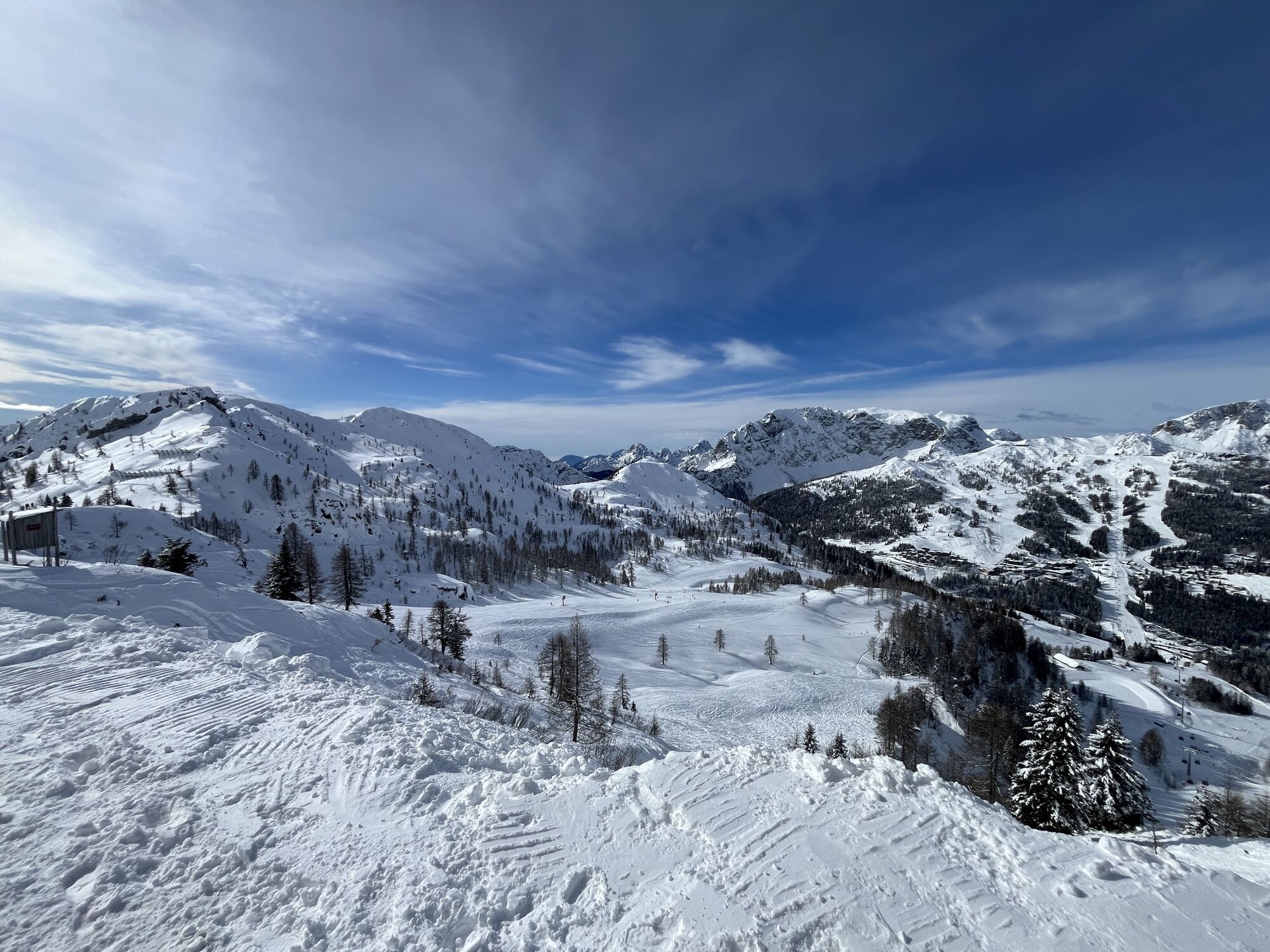
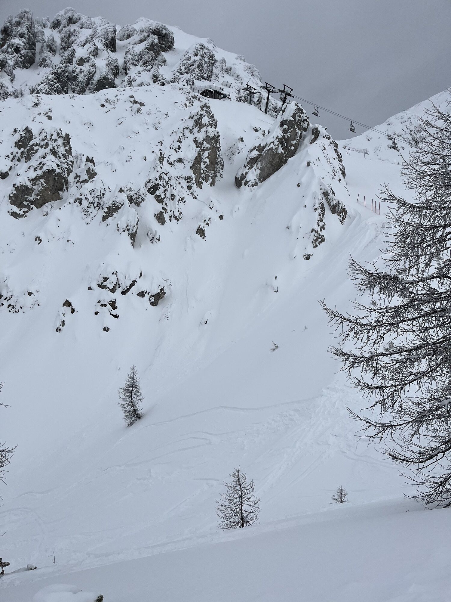
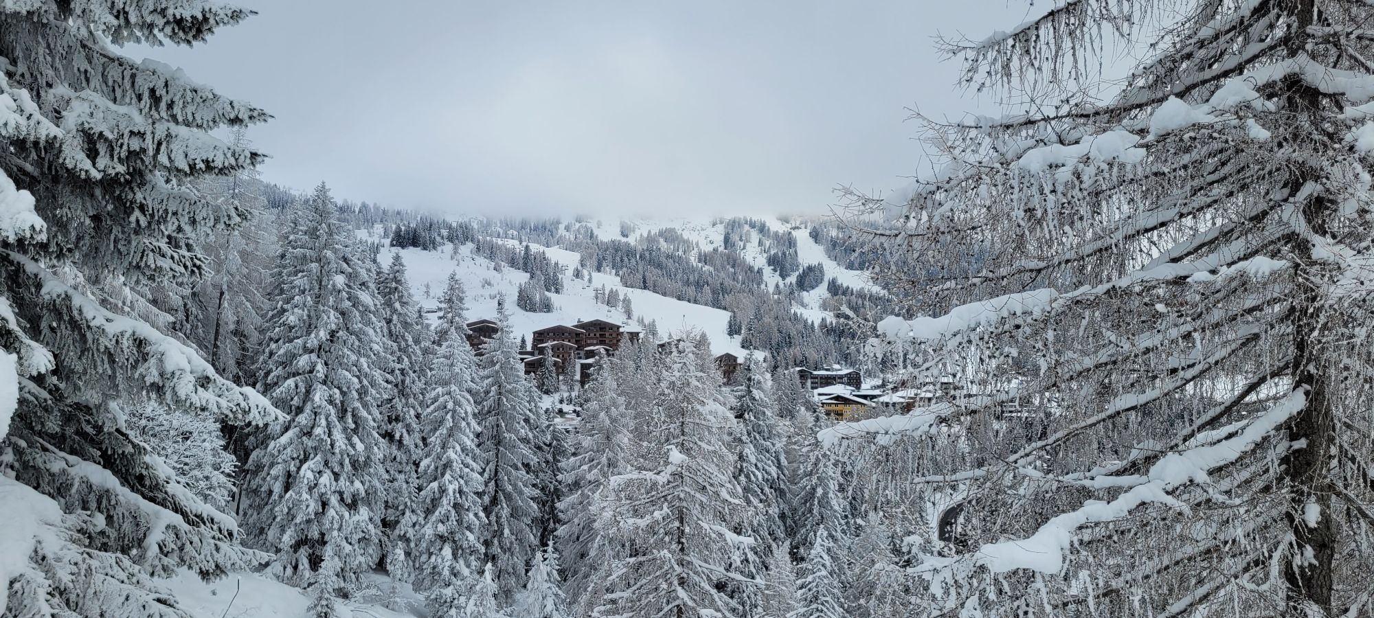
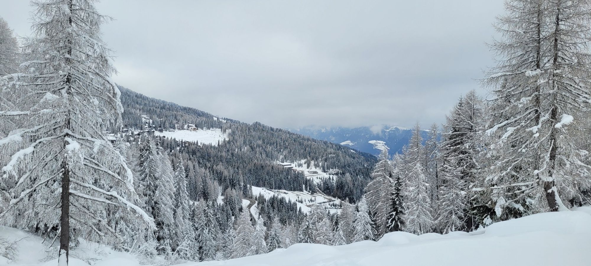
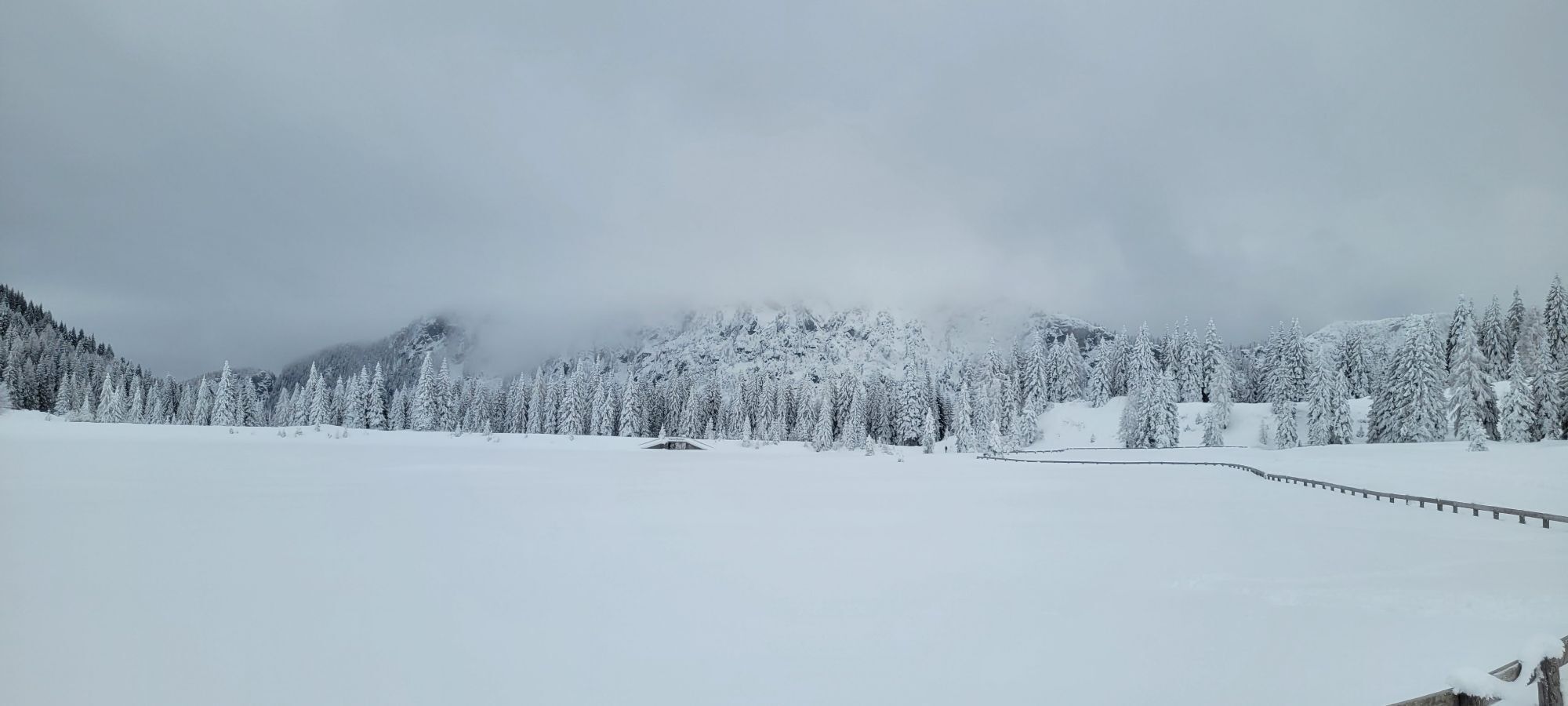
The popular ski route leads from the border at the Nassfeld Pass via forest roads, pistes and open ski touring terrain - in the immediate vicinity of the Nassfeld ski area, on the Austrian side - up to the Gartnerkofel.


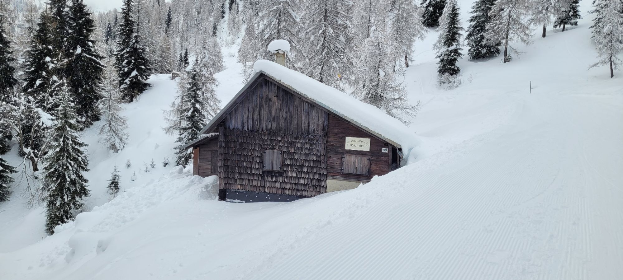
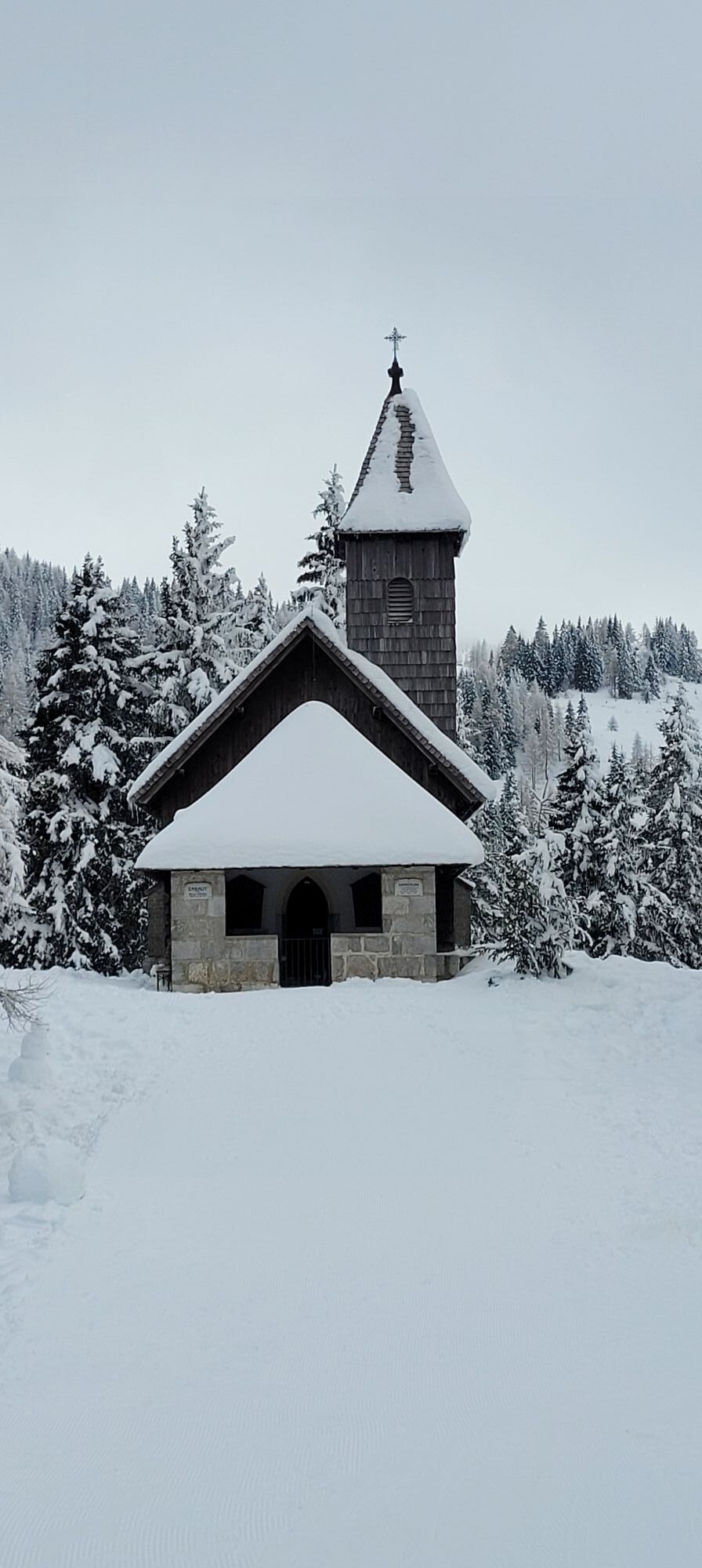
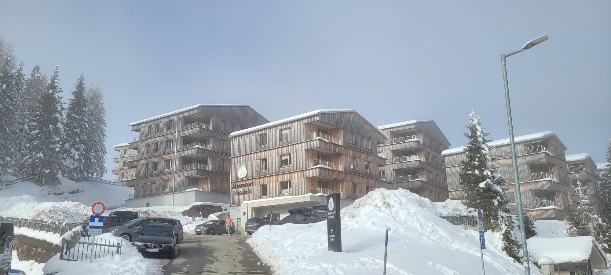
The ascent begins immediately at the Sonnenalpe Nassfeld Border over a (prepared) road (green road sign, including “Watschiger Alm”). After 5 minutes you pass the "Moro-Hüttl" and then a soldier's chapel (1552 m) from the First World War.
After almost 400 m - at about 1,590 m - a non-prepared road branches off to the right (hairpin, barrier with no entry sign) - you follow this path.
Three hairpins later begins a long, ascending left traverse - at a yellow signpost the junction of a marked path to the right is ignored. The ascent leads to the Gartner Saddle (also called Garnitzenthör or Garnitzenhöhe) at 1,856 m.
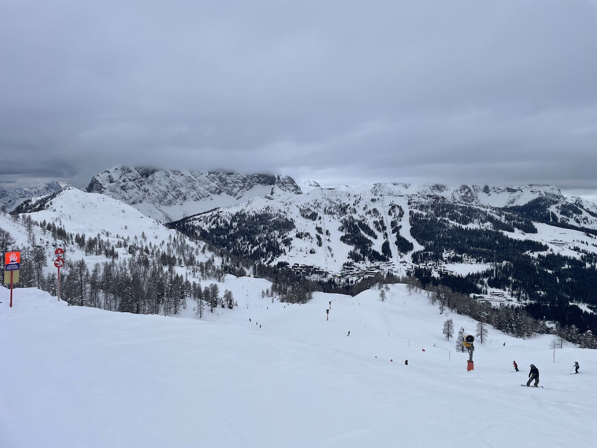
At a wayside cross in the saddle you reach the pistes - from here it is just a few more minutes of piste ascent to the top station of the Gartnerkofel cable car at about 1885 m.
The route continues from here for about 80 vertical meters over a piste to the top station of the FIS chairlift.
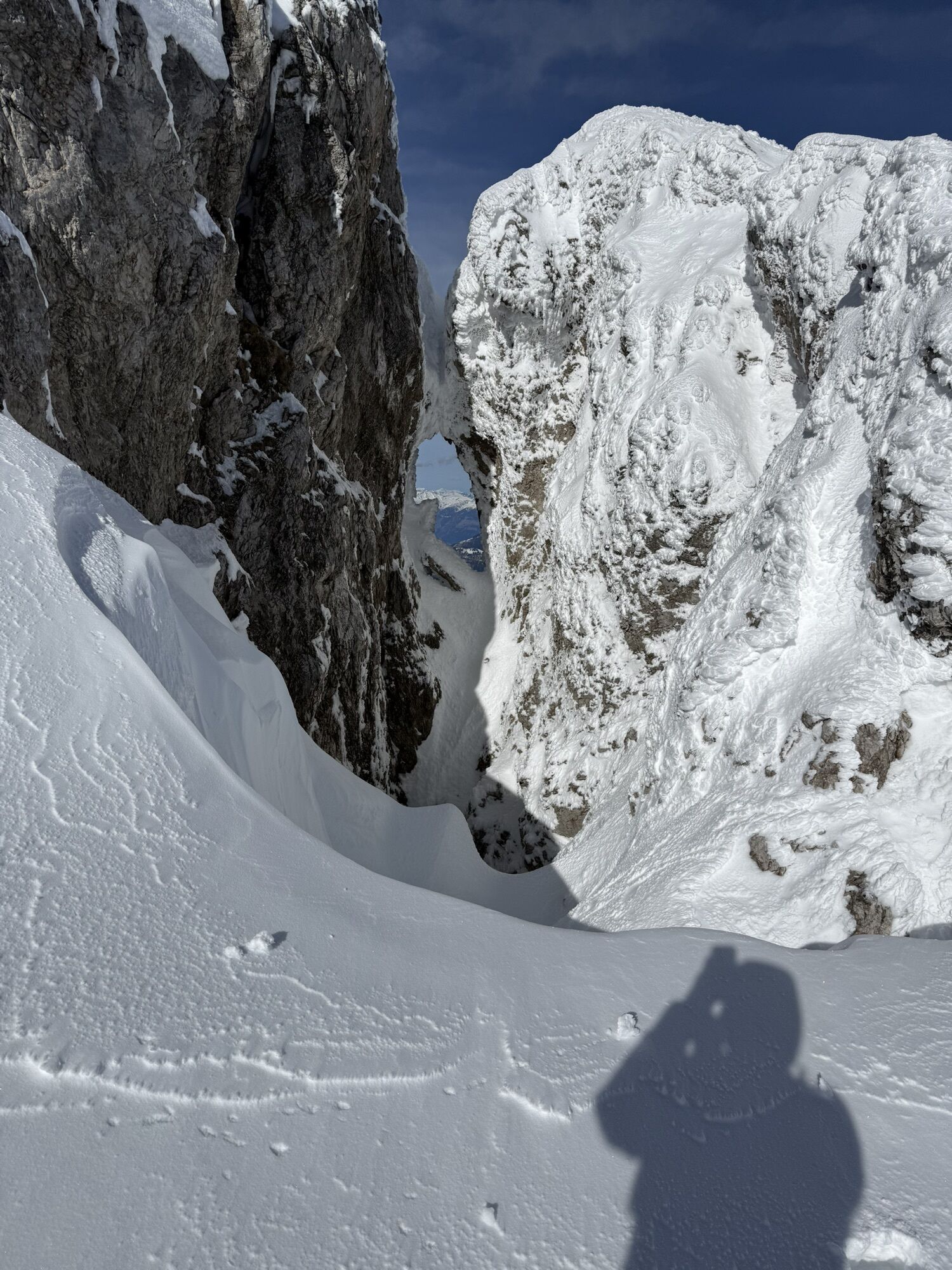
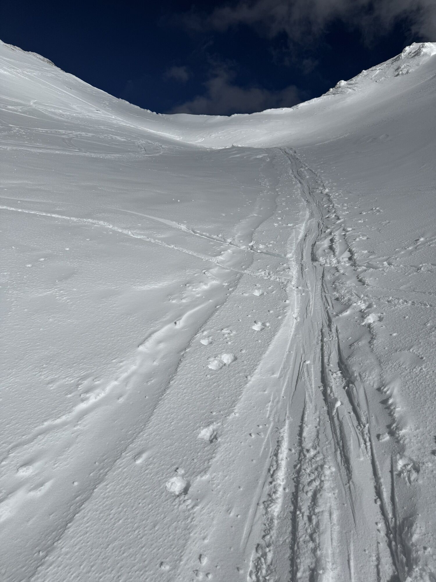
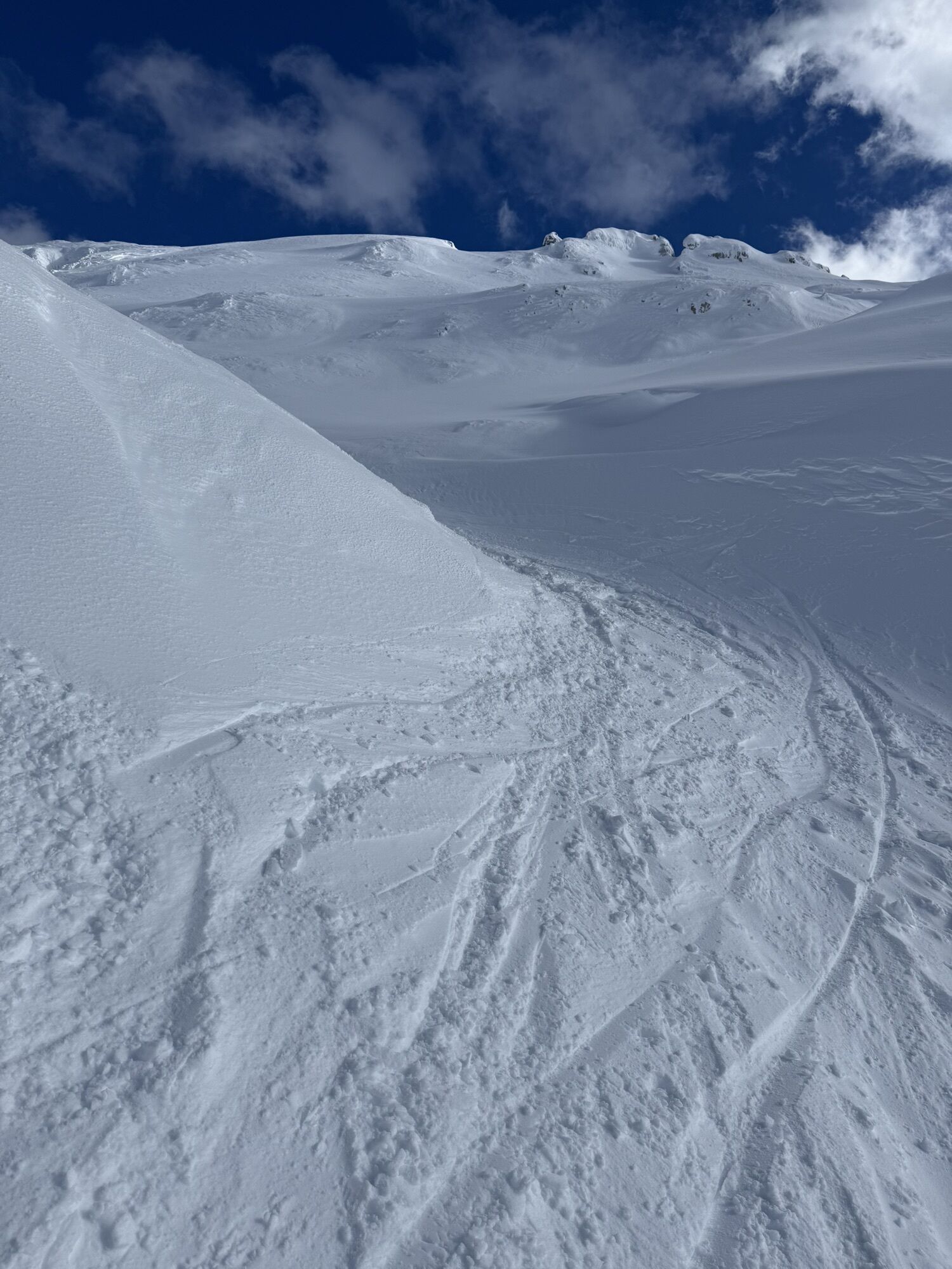
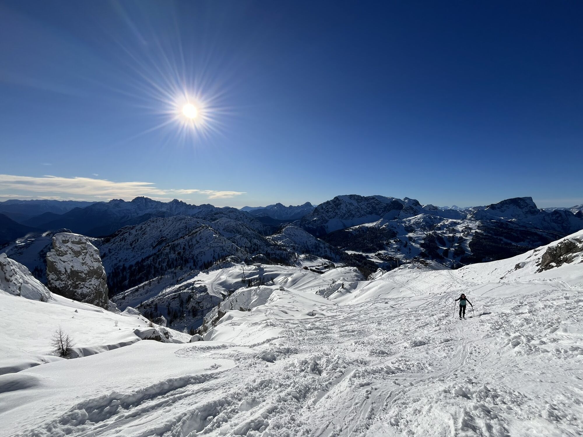
Here you reach the junction to the open ski touring terrain - from the small plateau of the top station you follow the yellow “Gartnerkofel” signpost and ascend to the right across a short steep slope into the gully leading up to the Gartnerkofel col (about 2,090 m) - the southeast summit is on the right, the main summit (northwest summit) on the left.
Using switchbacks you first climb the steep south flank. Then along the summer trail (usually clearly visible) you cross to the left into a small, distinctive notch - immediately to the left of the summit.
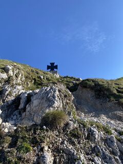
From the col, you reach the Gartnerkofel main summit (northwest summit) in about 3 minutes via the ridge, where a cross on a large pedestal commemorates both World Wars.
Descent:
The stated time includes "only" the ascent time, but not the descent (the descent is done via the same route to the top station of the Gartnerkofel cable car - then you continue down the piste).
Tak
Awareness for nature – landowners – your health... and safety on the mountain have the highest priority for your route and its planning!
Therefore, please inform yourself before each ski tour about the rules of conduct - Mountain Safety, as well as the current snow and avalanche reports Carinthian Avalanche Warning Service and the weather situation.
Waste disposal:
Waste cannot always be avoided - but it has no place in nature and must be disposed of properly (preferably in the valley or at home).
Emergency numbers:
Europe emergency number: 112 (access to any available network)
Austrian Mountain Rescue: 140
Public transport:
The most sustainable way to get there is by train (coming from Villach) to Hermagor. From Hermagor, you can then reach the town of Tröpolach by train shuttle, as well as by bus / ski bus.
Alternatively, there is also the option to travel by bus from the direction of Kötschach-Mauthen or Villach to Hermagor or Tröpolach.
From Tröpolach, take the Millennium Express up, before reaching the ski touring starting point at the Nassfeld Pass border via the piste descent.
Details at - Nassfeld Mobility Information and Kärntner Linien Route Planner
By car:
Via the B111 (Gailtal road) to Tröpolach - from there via the B90 (Nassfeld Pass road) to the former border crossing
Free parking is available at the border - directly next to the B90 Nassfeld Pass road.
You can find this and many other informations at - Route Tips and Provider Information
Dining options:
- Berghex (along the route while ascending or descending)
- Livio (near the parking lot)
- Kabrio (near the parking lot)
- Al Gallo Forcello (near the parking lot)
- as well as a variety of restaurants, huts etc. in the Nassfeld ski area - details at Service A-Z
Due to the immediate proximity to Italy, a wide variety of culinary stops are available after the route.

Kamery internetowe z trasy

Aktywności na trasie

Hermagor-Pressegger See, Kärnten/Österreich
03.09.2026 – Wędrówka
Hermagor-Pressegger See, Kärnten/Österreich
10.08.2026 – Wędrówka
Hermagor-Pressegger See, Kärnten/Österreich
08.08.2026 – WędrówkaHermagor-Pressegger See, Kärnten/Österreich
31.07.2026 – Wędrówka
Gartnerkofel, Kärnten/Österreich
07.06.2026 – Trailrunning
Hotel Wulfenia - Gartnerkofel - Hotel
31.03.2026 – Rakieta do chodzenia po śniegu
Hermagor-Pressegger See, Carinzia/Austria
13.01.2026 – Wycieczka narciarska
Pontebba, Friuli – Venezia Giulia/Italy
05.01.2026 – WędrówkaHermagor-Pressegger See, Gartnerkofel
09.11.2025 – Wędrówka
Popularne wycieczki w okolicy
- 4,7
W5 - Naggler Alm Round Weissensee
średniMountainbike 15,8 km - 4,8
Tarvisio - Venzone (C101)
średniKolarstwo długodystansowe 64,7 km - 4,5
RW_N9 Weißenbachklamm
średniWędrówka 7,49 km - 4,6
Bergstation Weißensee bis Golz
średniWędrówka 14,8 km - 5,0
Nassfeld Grenze - Gartnerkofel
światłoWędrówka 8,41 km - 4,9
Weißenbachklamm
ciężkiWędrówka 5,80 km - 4,3
Slow Trail Pressegger See RW_N16
światłoWędrówka 5,78 km - 4,3
Malurch Nassfeld
średniWędrówka 9,60 km - 4,7
Poludnig - der Fast-Zweitausender hihi
średniWędrówka 12,4 km - 5,0
Drei Gipfel des Monte Nebria
średniWędrówka 7,72 km
Wędrówki i tropienie


Nie przegap ofert i inspiracji na następne wakacje
Twój adres e-mail została dodana do listy mailingowej.





