






Circular trail Gradenegg - Dobra Moor
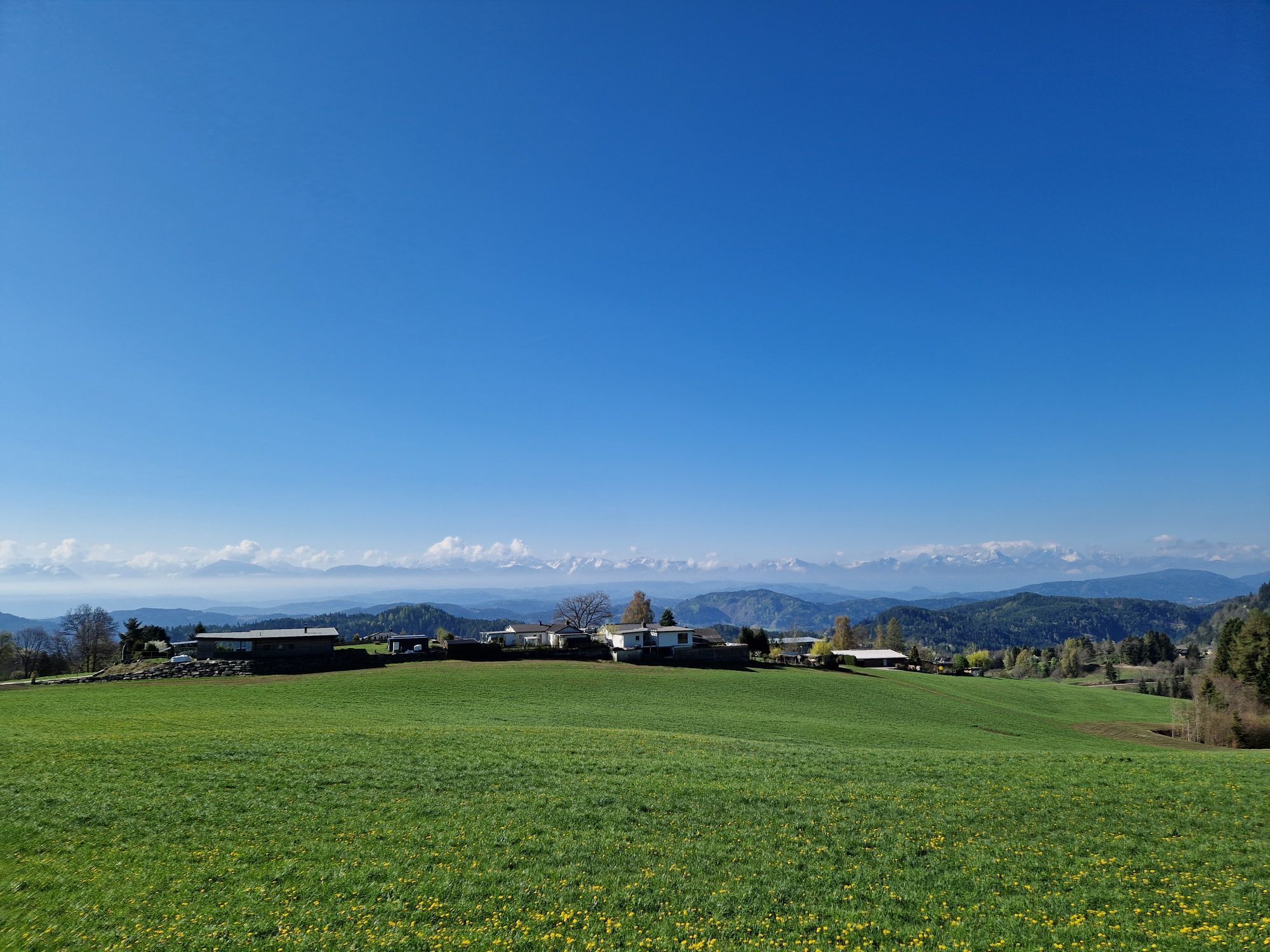
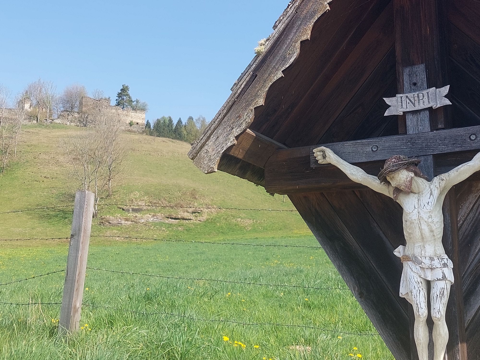
The circular route Gradenegg - Dobra Moor is an approximately 12 km-long hike through the picturesque Carinthian countryside. The starting point is Gradenegg, an idyllic village with traditional farms....
The circular route Gradenegg - Dobra Moor is an approximately 12 km-long hike through the picturesque Carinthian countryside. The starting point is Gradenegg, an idyllic village with traditional farms. The path leads through gentle hills and dense forests alternating with open meadows and small streams. Along the way, there are magnificent views of the surrounding mountains and the Dobra Moor nature reserve, known for its diverse flora and fauna. A cozy stop at one of the inns along the route rounds off the hike before you return to Gradenegg to continue enjoying the peace and beauty of the rural surroundings.

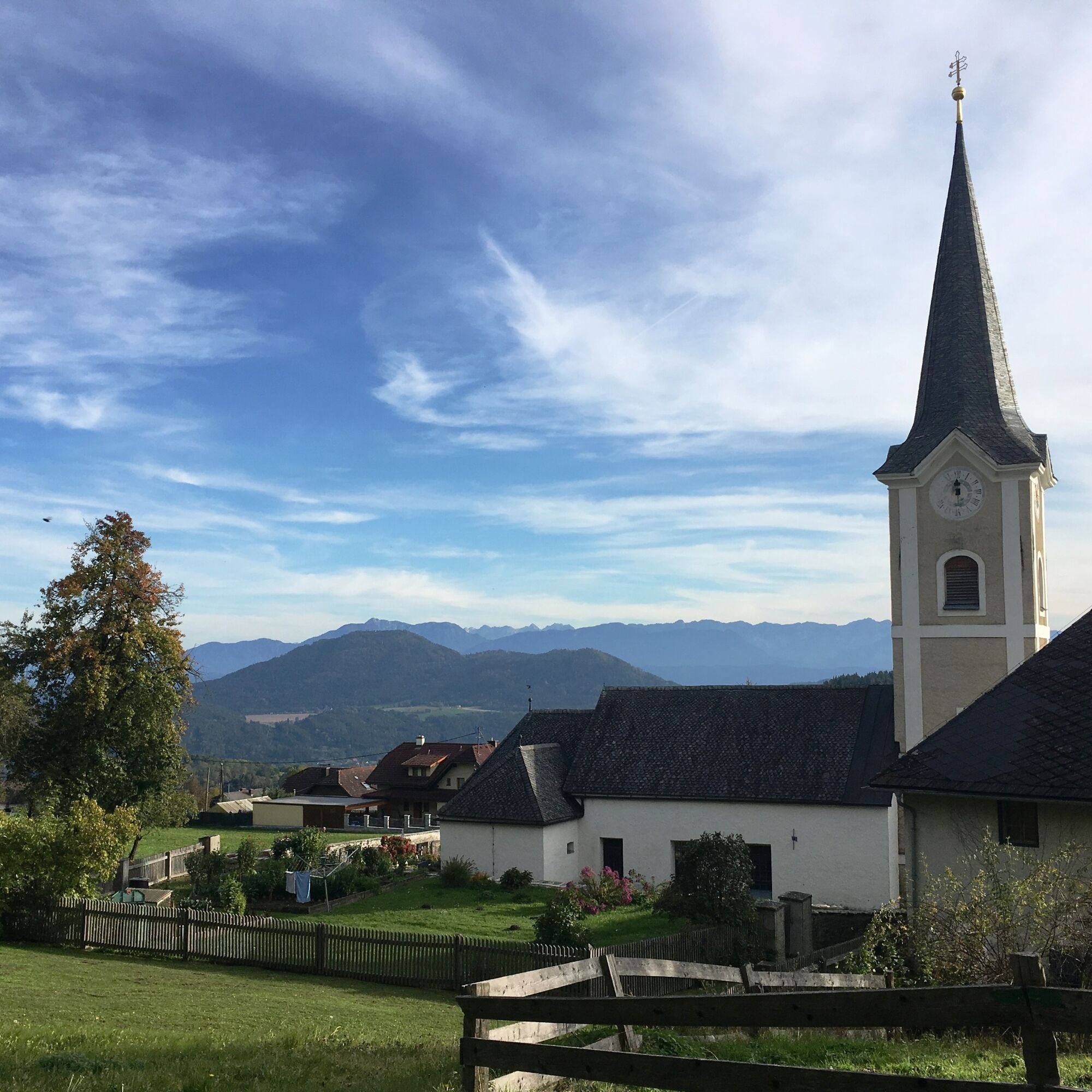
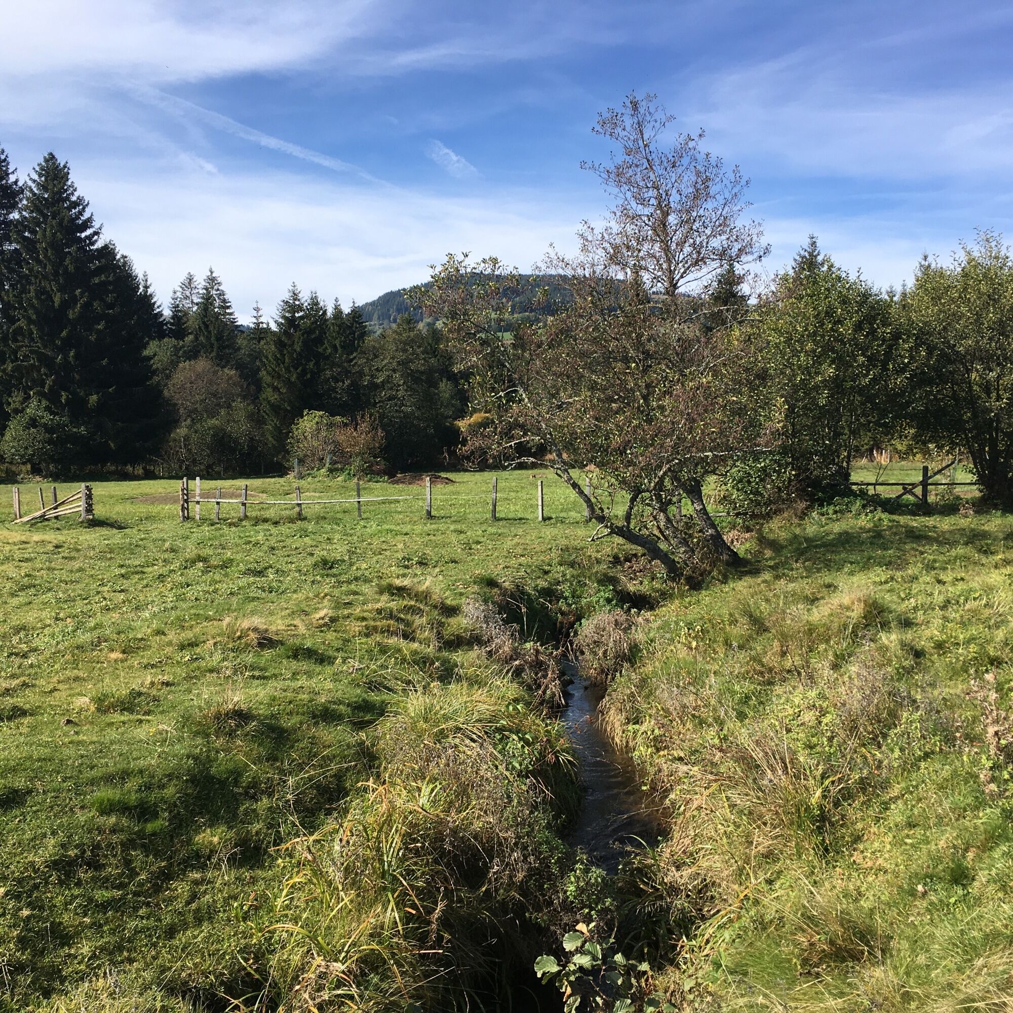
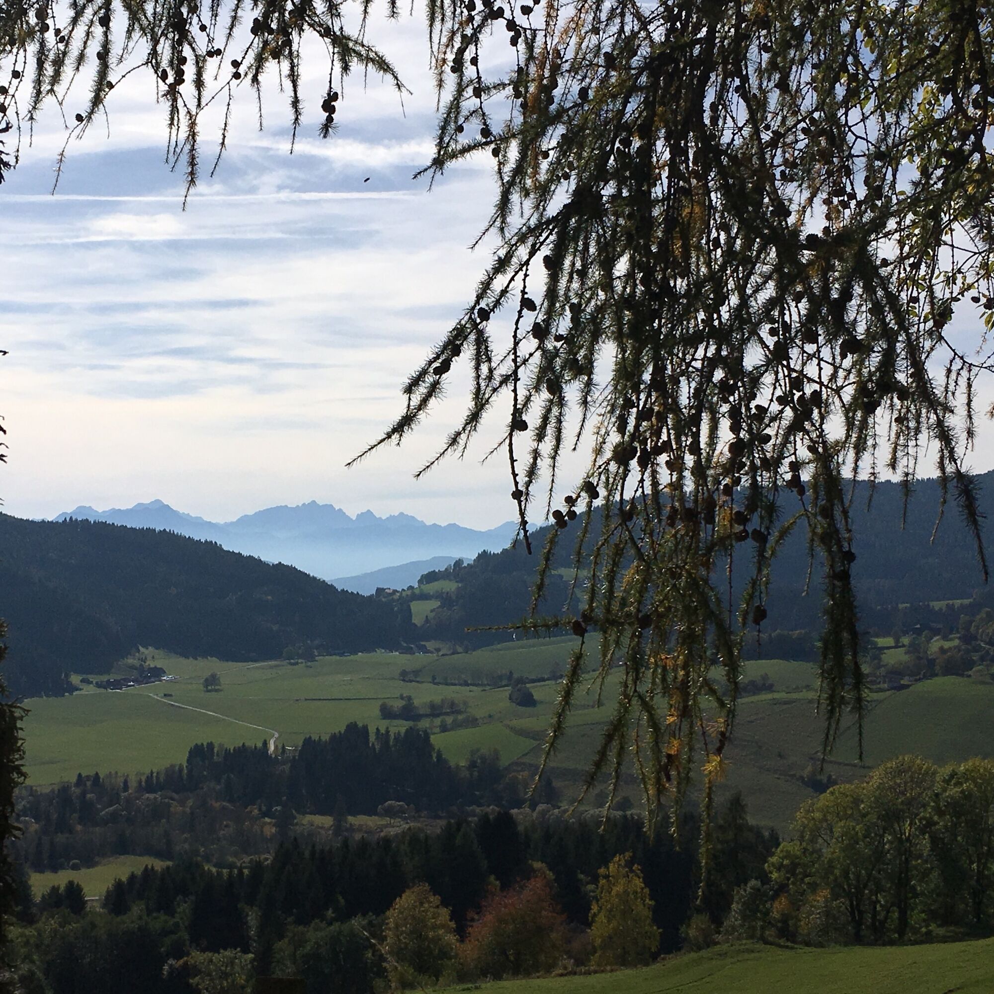
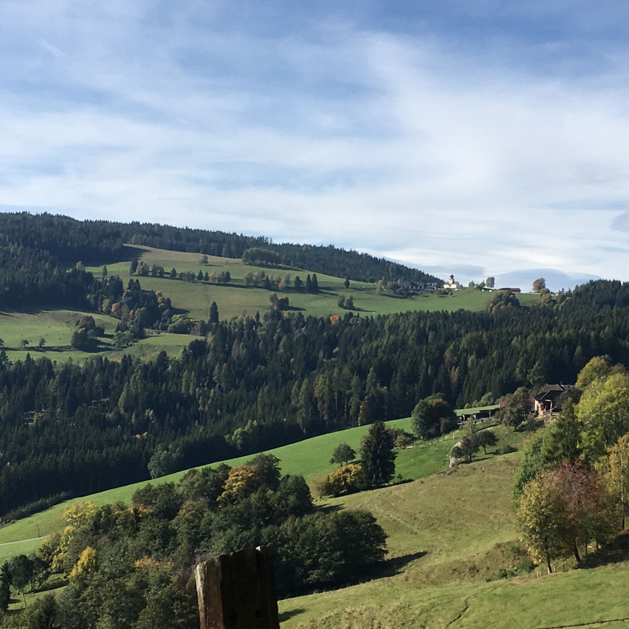

The circular route Gradenegg - Dobra Moor starts in Gradenegg, a picturesque village in Carinthia. From there, the path initially leads through gentle hills and idyllic meadow landscapes. After a short distance, you enter the forest that guides the trail through the Dobra Moor nature reserve. This area is known for its diverse flora and fauna, including rare bird species and plants. The path repeatedly offers beautiful viewpoints of the surrounding mountains and valleys. After a loop through the moor, you return along the same route to Gradenegg, where you can enjoy typical Carinthian specialties in local inns to end the hike comfortably.
Sturdy footwear, rain protection and tour provisions
Pay attention to safety
Access via B 94, turn-off in Liebenfels via Glantschach to Gradenegg
https://fahrplan.oebb.at/webapp/#!P|TP!H|704158
Parking spaces available in the church and parish courtyard area
Let the Dobra Moor, surrounded by the Illmütz Forest, Gößeberg and Paulsberg, have an effect on you! The moor is rich in fen and raised bog plants and harbors the rare Nordic Shrub Birch, a relic of the Ice Age, discovered in 1922.

 Uzyskaj wgląd
Zawsze na żywo z ponad 9 500 kamer internetowych. bergfex Jako użytkownik Pro, możesz teraz zobaczyć odpowiednie kamery internetowe dla wielu wycieczek w aplikacji wycieczki od. Pozwala to na bezpośredni podgląd aktualnych warunków.
Uzyskaj wgląd
Zawsze na żywo z ponad 9 500 kamer internetowych. bergfex Jako użytkownik Pro, możesz teraz zobaczyć odpowiednie kamery internetowe dla wielu wycieczek w aplikacji wycieczki od. Pozwala to na bezpośredni podgląd aktualnych warunków.
Popularne wycieczki w okolicy
-
4,8
Abenteuer-Wasser-Weg
średniWędrówka 9,13 km -
4,7
Vierbergelauf
średniTrasa pielgrzymki 47,6 km -
4,5
Ulrichsberg
światłoWędrówka 5,60 km -
4,9
Slow Trail Maltschacher See - large loop
światłoTrasa tematyczna 7,04 km -
3,9
Natural spectacle Tiebel springs - Himmelberg
Wędrówka 9,84 km -
4,0
Schloss Frauenstein - Kraiger lake circular route
średniWędrówka 6,96 km -
4,6
Vier Gipfel, ein Wanderhimmel - Himmelberg
Wędrówka 22,9 km -
3,0
Paulsberg trail
światłoWędrówka zimą 5,02 km -
3,6
Krumpendorf panoramic route
średniMountainbike 16,0 km -
3,0
Rund um die Alte Moosburg
Wędrówka 4,90 km
Wędrówki i tropienie


Nie przegap ofert i inspiracji na następne wakacje
Twój adres e-mail została dodana do listy mailingowej.





