







Grifitzbühel
Attention: Please inquire about the current trail and weather conditions before each route!
____________________________________________________________________________
The route goes from Birnbaum to...
Attention: Please inquire about the current trail and weather conditions before each route!
____________________________________________________________________________
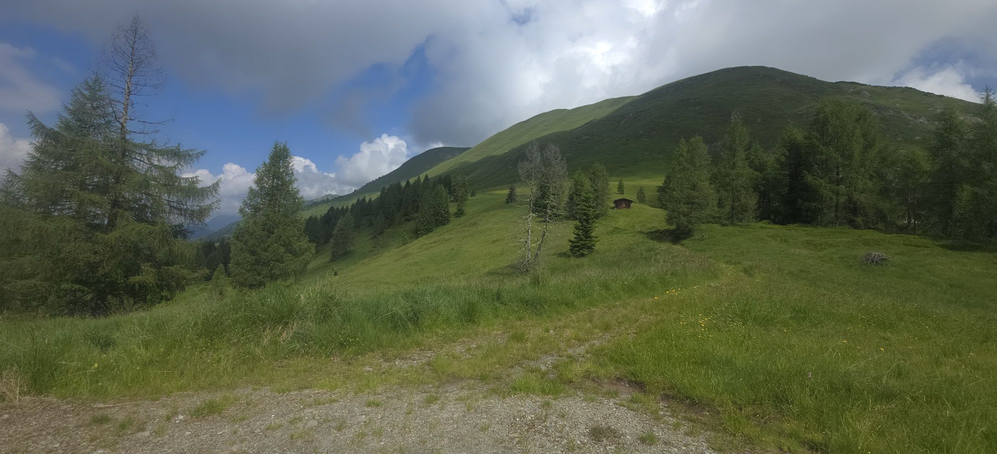
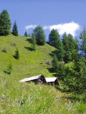
The route goes from Birnbaum to Kornat and follows the road up to the last farm - Stramitzer. From there take the ascending footpath north to the last house (viewpoint!). After the gate at the fork, keep right in the hollow path and continue hiking until you come to a flat alpine meadow area (Promigl). After the steep section, keep right again. Via the ever-ascending alpine path, you reach the mountain meadows with hay huts on the first rise. Continuing over the steep ascending path (approx. 150 m) you reach the "Hannes-Hütte." Just before the Hannes-Hütte, ascend to the right about 30 m to a hay hut where the control stamp is located. The descent starts directly at this hay hut to the left towards Mattlinger Alm, on the new forest road (approx. 8 km) to Mattling. At the "Duregger" on the road about 300 m, turn left before the Eggerhof and go over the old federal road to the Schmied in Birnbaum. As a second option, take the right ascending path to Motalpe-Feldwiesen and then either hike over the Oberraster Alm to Liesing or climb the Lumkofel.



Attention: Please inquire about the current trail and weather conditions before each route!
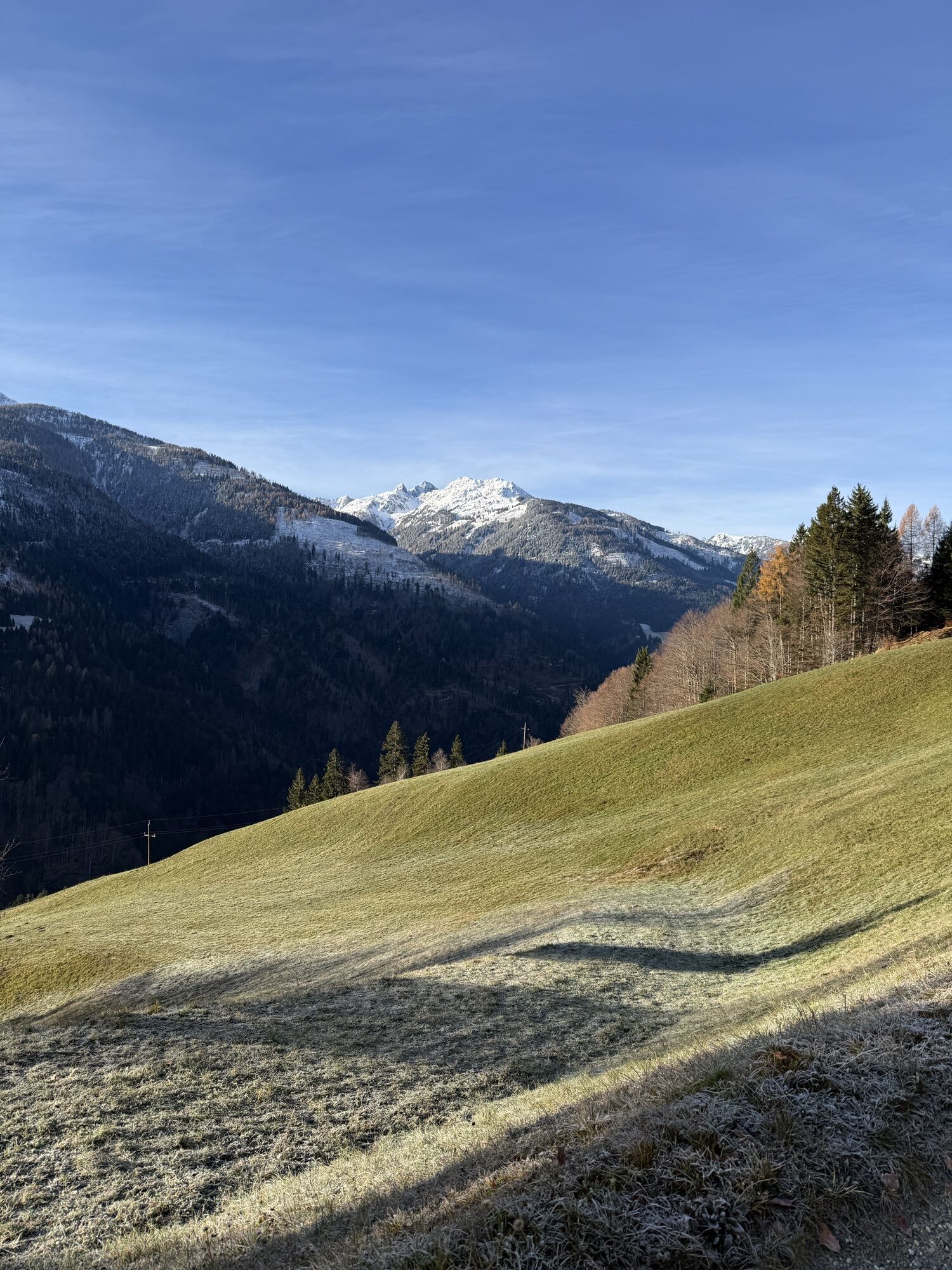
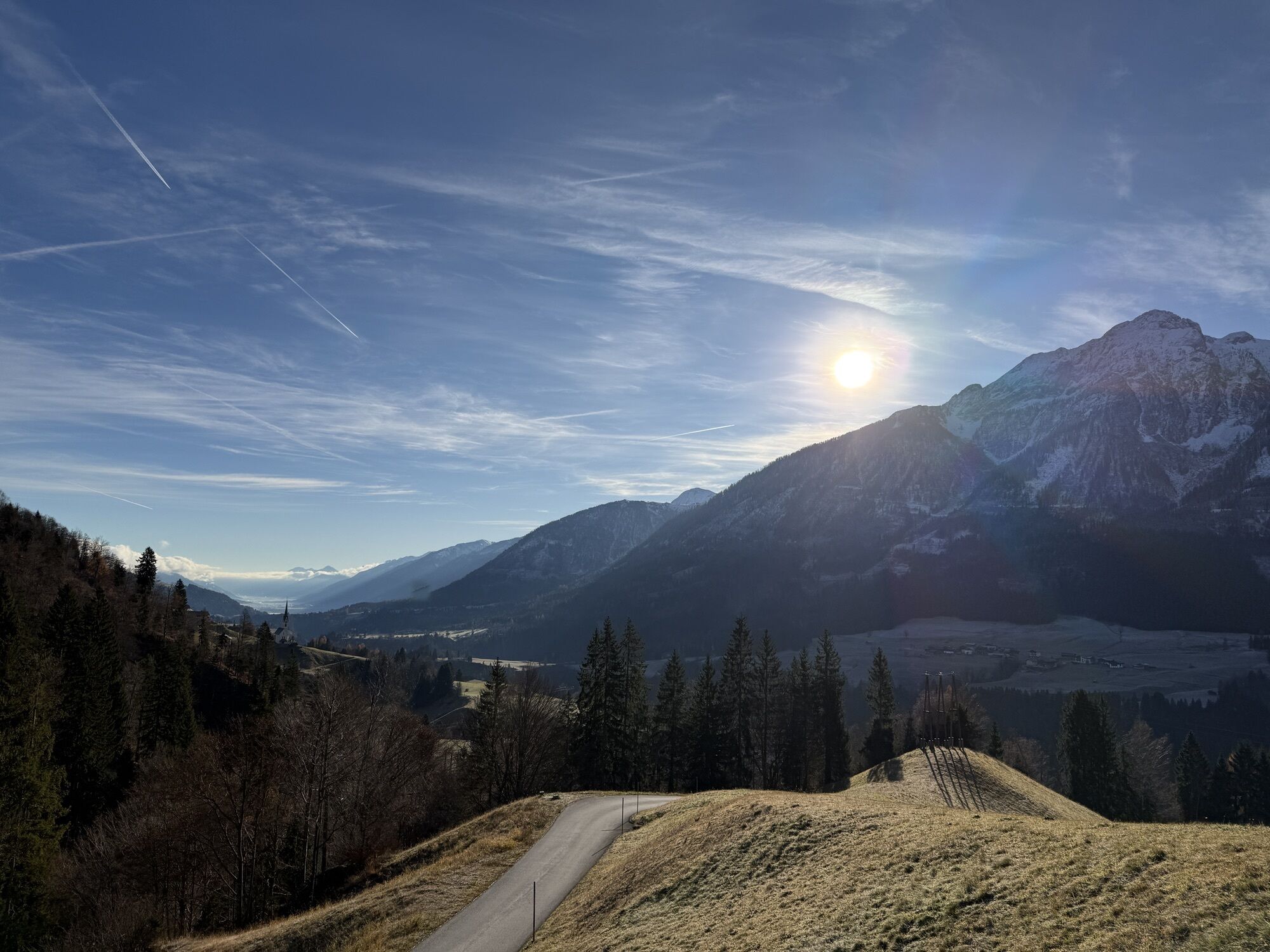
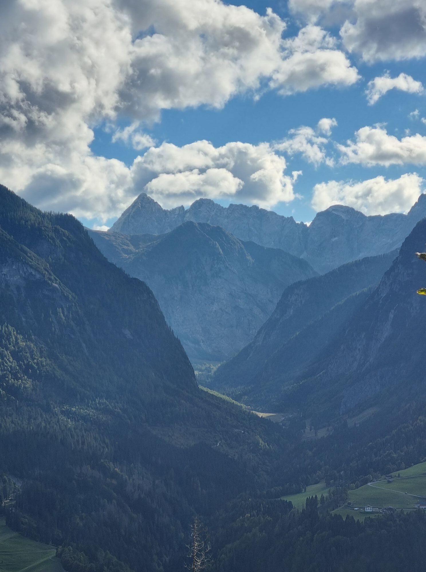
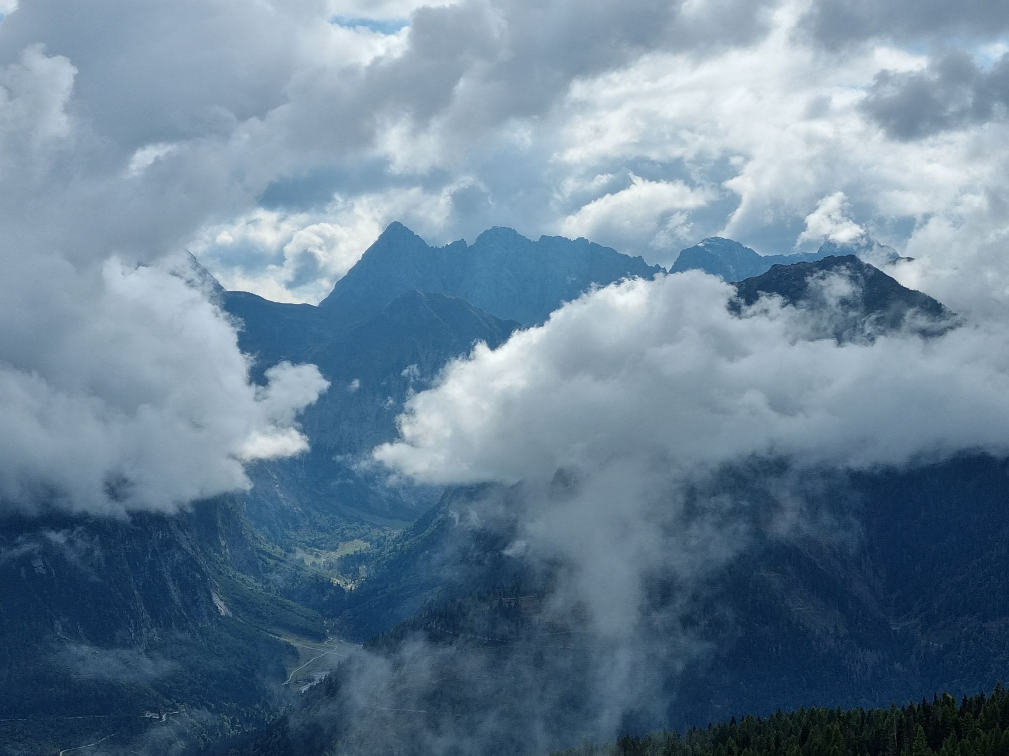
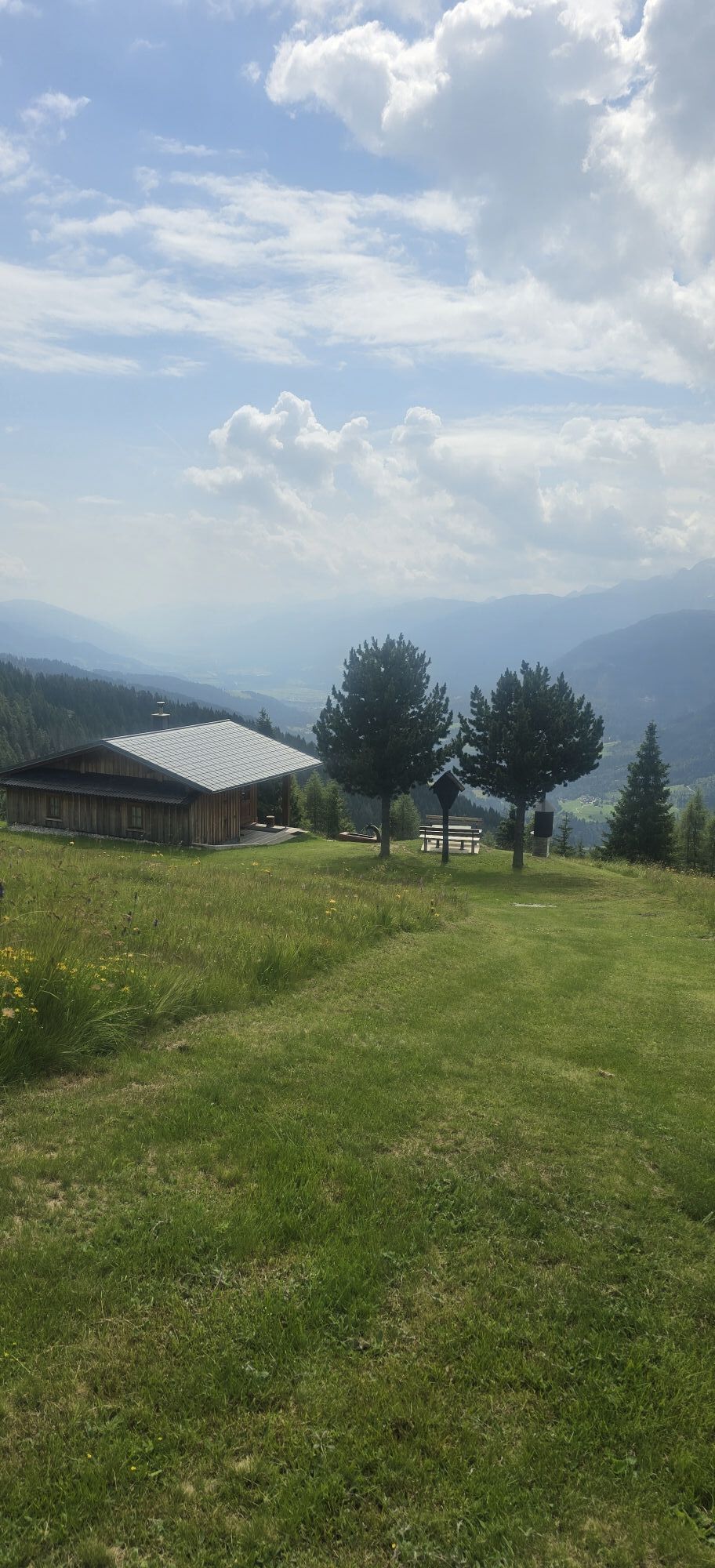
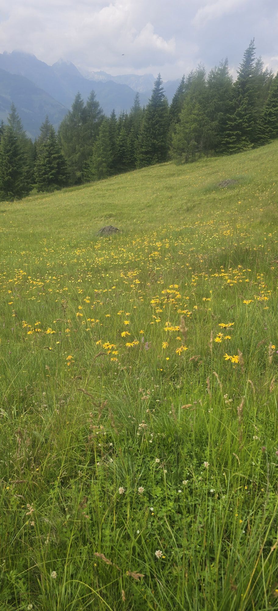
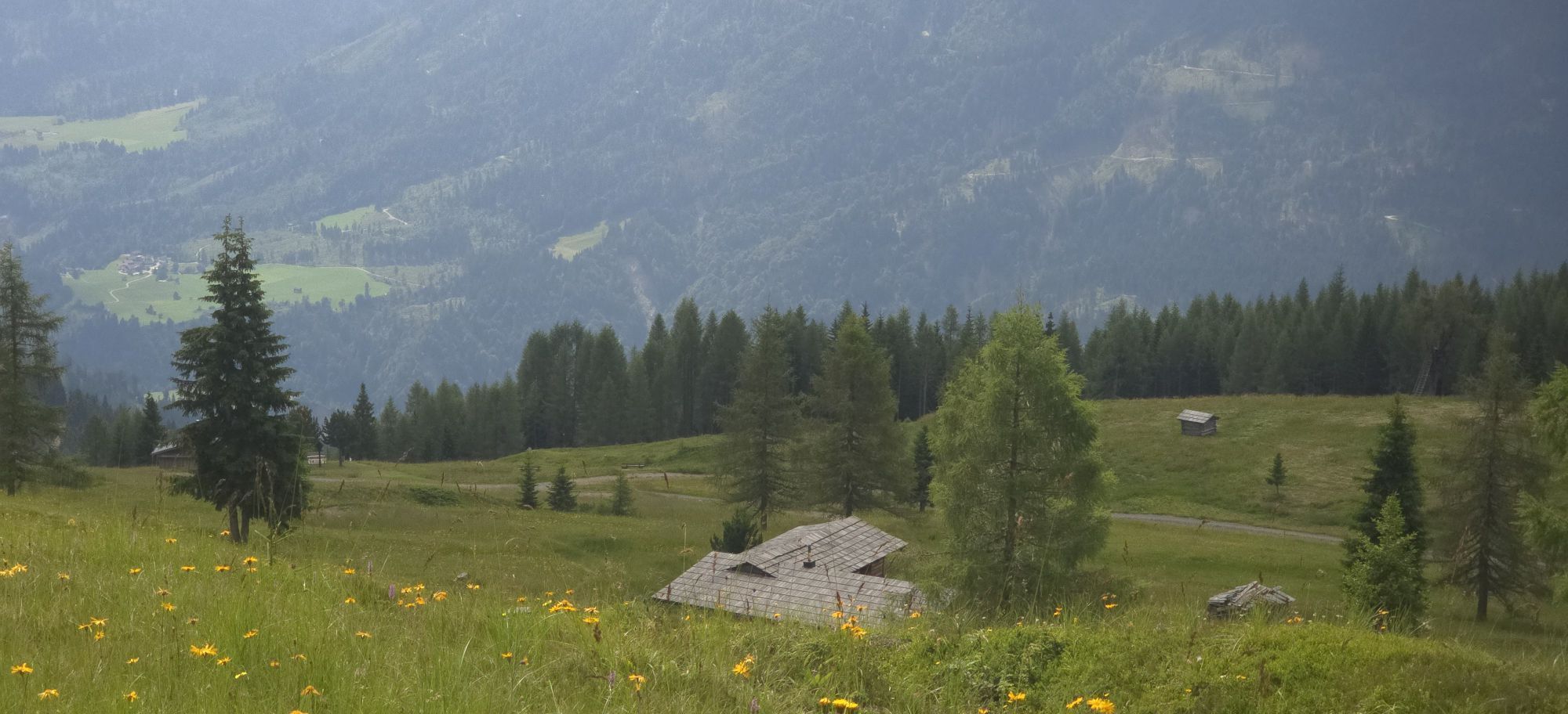
The route goes from Birnbaum to Kornat and follows the road up to the last farm – Stramitzer. From there take the ascending footpath north to the last house (viewpoint!). After the gate at the fork, keep right in the hollow path and continue hiking until you reach a flat alpine meadow area (Promigl). After the steep section, keep right again. Via the constant ascending alpine path, you reach the mountain meadows with hay huts on the first rise. Here you have a magnificent panoramic view (to the south the Biegengebirge, Plenge, Seekopf; to the north the Mussen, Schatzbühel, Hochstadel; and in the distance the Hohe Tauern with Sonnblick; to the east the Reißkofel, Dobratsch, and Carnic Alps; and to the west Grifitzbühel). The forest road is crossed several times. Continuing over the steep ascending path (approx. 150 m), you reach the "Hannes-Hütte." Just before the Hannes-Hütte, ascend to the right about 30 m to a hay hut where the control stamp is located. The descent starts directly at this hay hut to the left towards Mattlinger Alm, on the new forest road (approx. 8 km) to Mattling. At the "Duregger" on the road about 300 m, turn left before the Eggerhof and go over the old federal road to the Schmied in Birnbaum. As a second option, take the right ascending path to Motalpe-Feldwiesen and then either hike over the Oberraster Alm to Liesing or climb the Lumkofel. Control stamp at the hay hut above the Hannes-Hütte.
Tak
Tak
Sturdy hiking boots, drinking water
Check the current trail situation or possible trail closures before the route.
To Birnbaum (9652)
by bus to Birnbaum in the Lesachtal
 Uzyskaj wgląd
Zawsze na żywo z ponad 9 500 kamer internetowych. bergfex Jako użytkownik Pro, możesz teraz zobaczyć odpowiednie kamery internetowe dla wielu wycieczek w aplikacji wycieczki od. Pozwala to na bezpośredni podgląd aktualnych warunków.
Uzyskaj wgląd
Zawsze na żywo z ponad 9 500 kamer internetowych. bergfex Jako użytkownik Pro, możesz teraz zobaczyć odpowiednie kamery internetowe dla wielu wycieczek w aplikacji wycieczki od. Pozwala to na bezpośredni podgląd aktualnych warunków.

Popularne wycieczki w okolicy
-
5,0
Ederplan round from the parking lot Stronach
średniWędrówka 7,19 km -
4,7
Karlsbader Hütte über Rudl-Eller-Weg
ciężkiWędrówka 5,10 km -
4,5
Karnischer Höhenweg – Etappe 4: Hochweißsteinhaus – Wolayersee Hütte
ciężkidługodystansowy szlak pieszy 15,9 km -
4,8
Pirknerklamm (C)
średniVia ferrata 2 km -
4,8
Lienzer Dolomiten-Lasertörl
średniWędrówka 13,2 km -
4,7
Obergail - Obergailer Alm - Obergailer Lake - Enderberg hut - Source for Health & Peace - Madonna circular hiking route - Obergail
średniWędrówka 11,4 km -
4,7
Karlsbader Hütte
średniMountainbike 13,4 km -
4,0
Karlsbader Hütte - Lienzer Dolomiten
Wędrówka 8 km -
4,9
Karnischer Hauptkamm - Hohe Warte 2.780m - Hike and Bike
ciężkiWycieczki górskie 19,5 km -
4,3
Mountain bike route from the Hubertus Chapel to the Wolayersee
ciężkiMountainbike 9,06 km
Wędrówki i tropienie


Nie przegap ofert i inspiracji na następne wakacje
Twój adres e-mail została dodana do listy mailingowej.





