







Panorama – Sunseitnweg
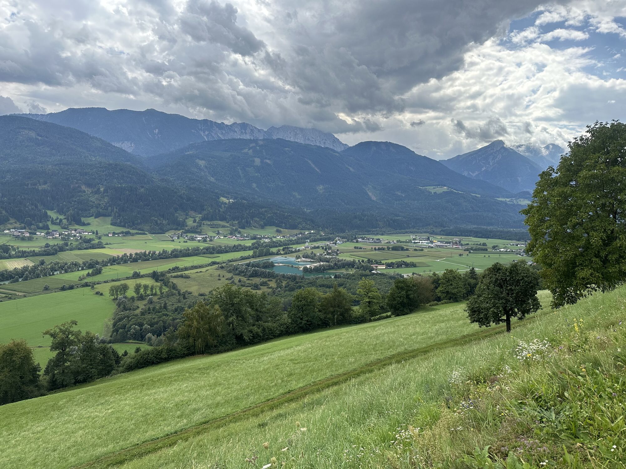
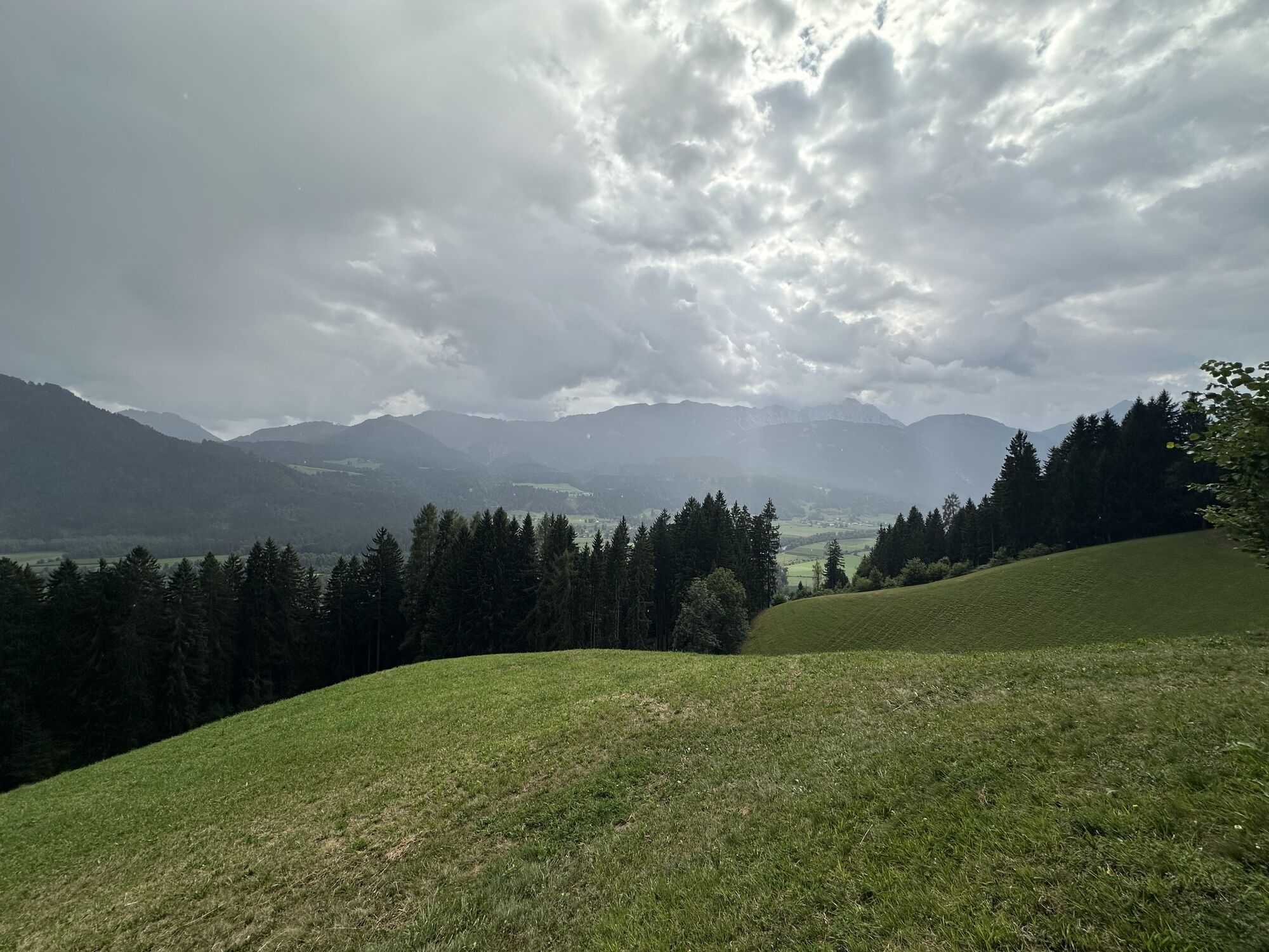
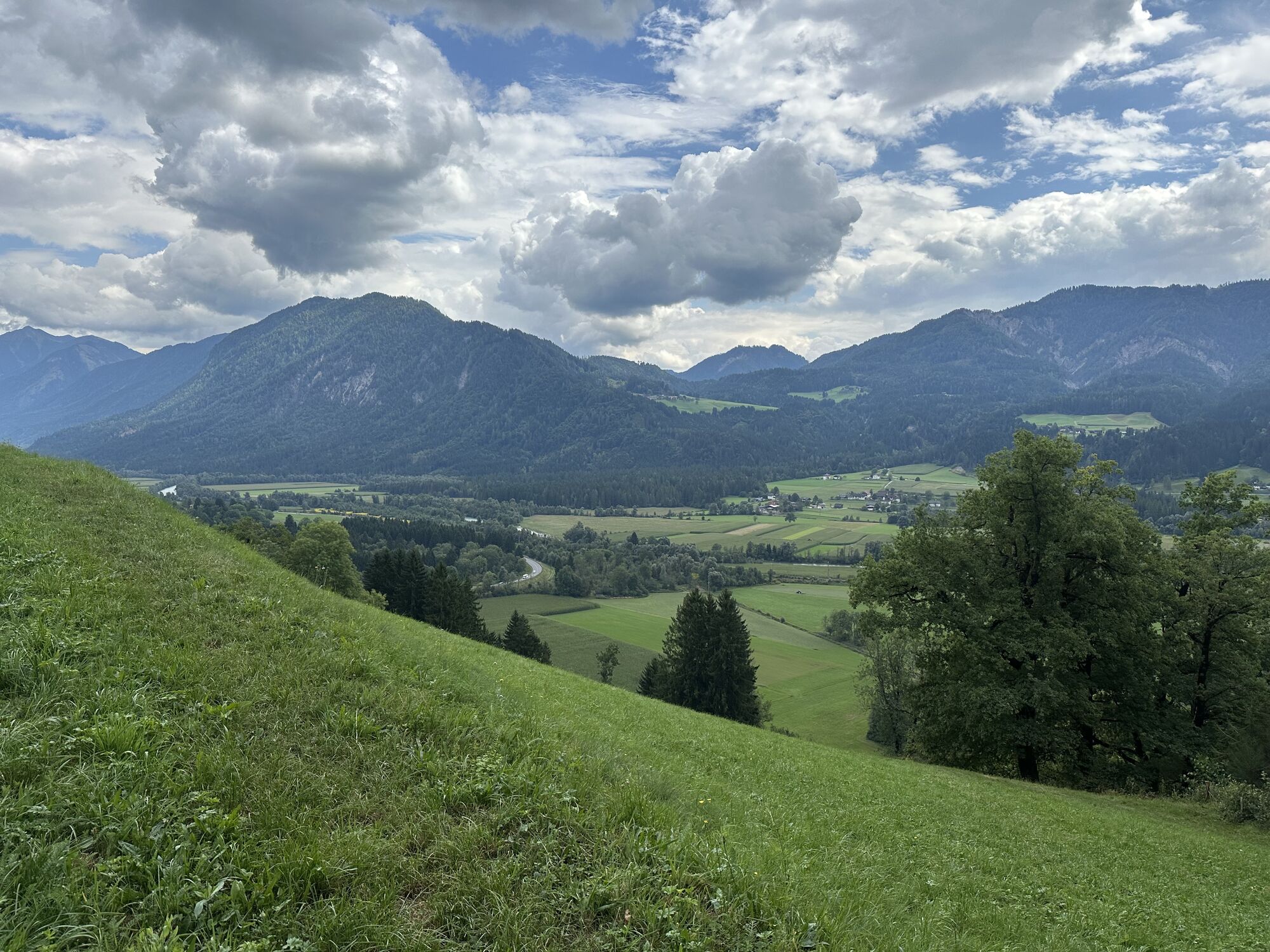
The varied cultural landscape on the Drautal Sunseitn offers a delightful landscape experience. Between Greifenburg and the Radlacher Bach, hikers have access to an attractive hiking route with little...
The varied cultural landscape on the Drautal Sunseitn offers a delightful landscape experience. Between Greifenburg and the Radlacher Bach, hikers have access to an attractive hiking route with little elevation difference. Without physical effort, one soon falls into a meditative walking. The view drifts over the valley floor, thoughts escape the hiker. Hiking as it should be, a soul massage in a lovely landscape.
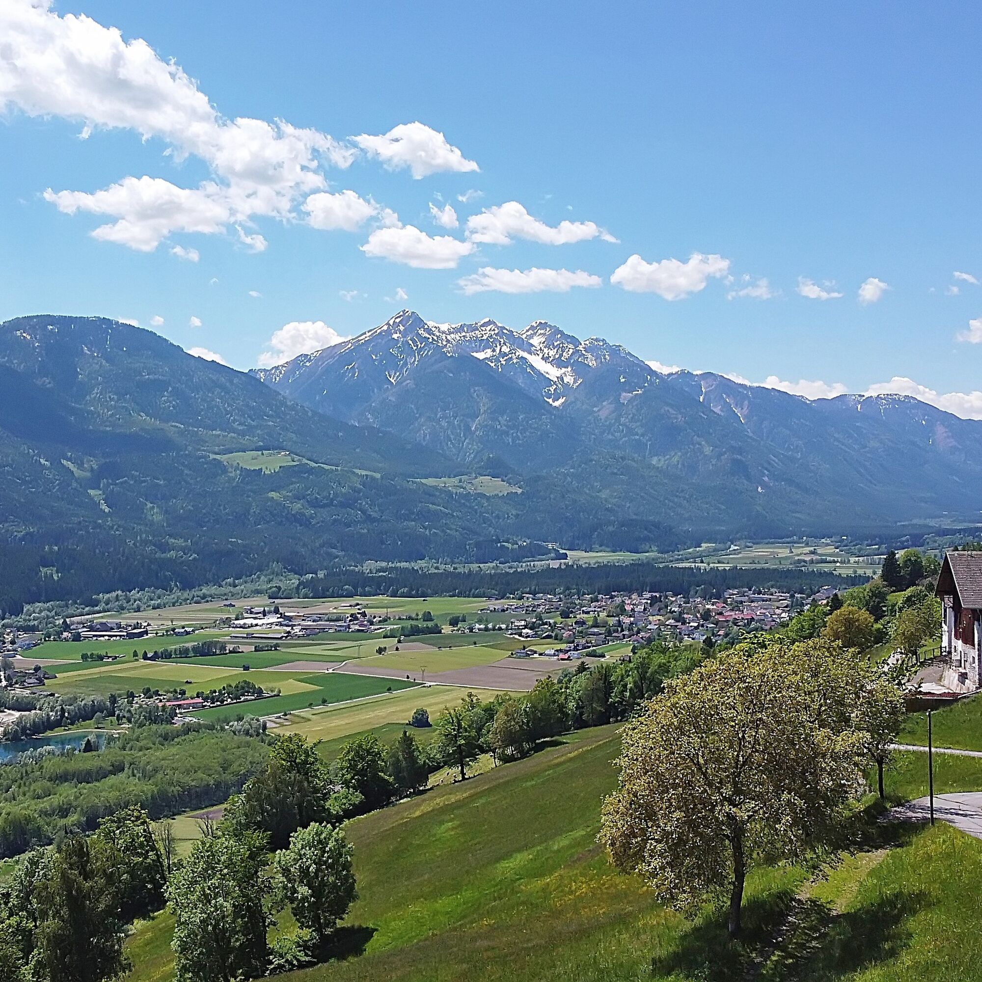
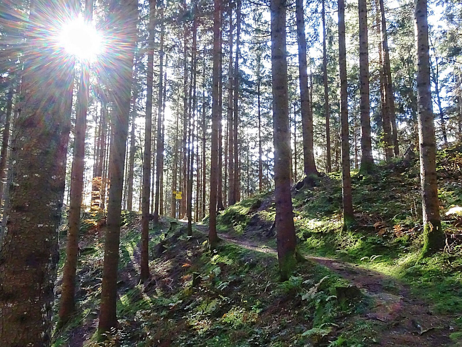
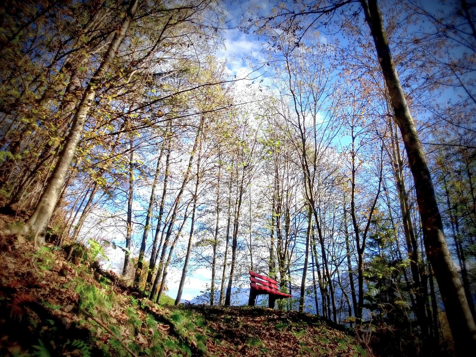
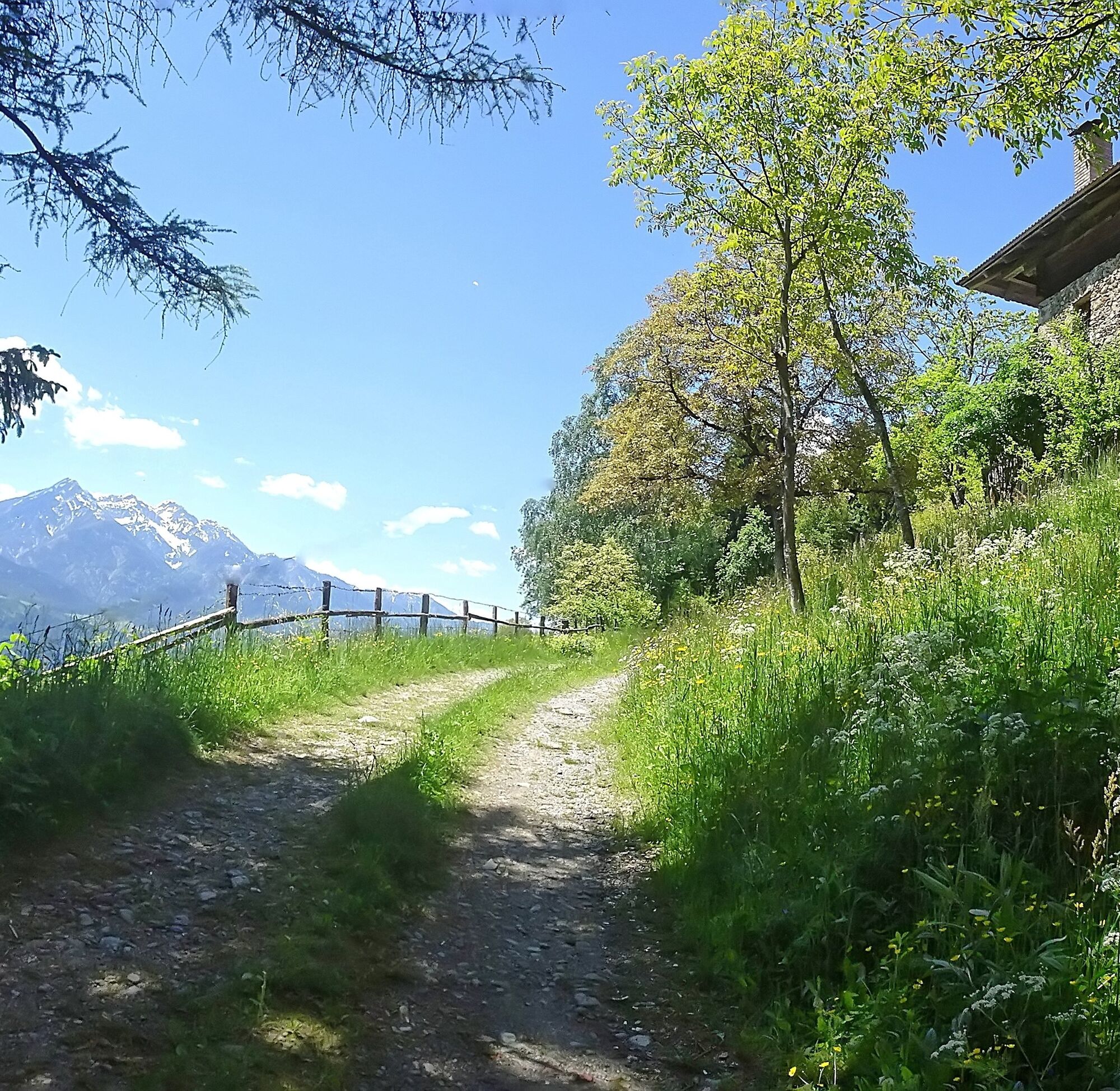
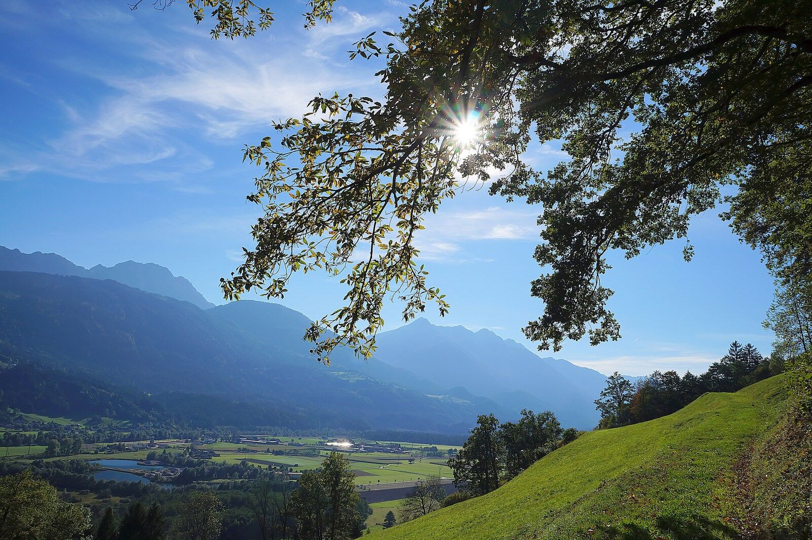
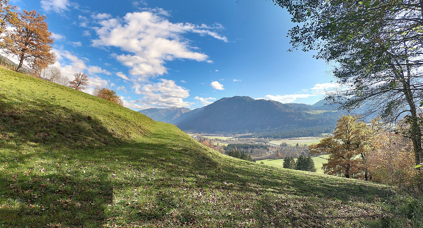
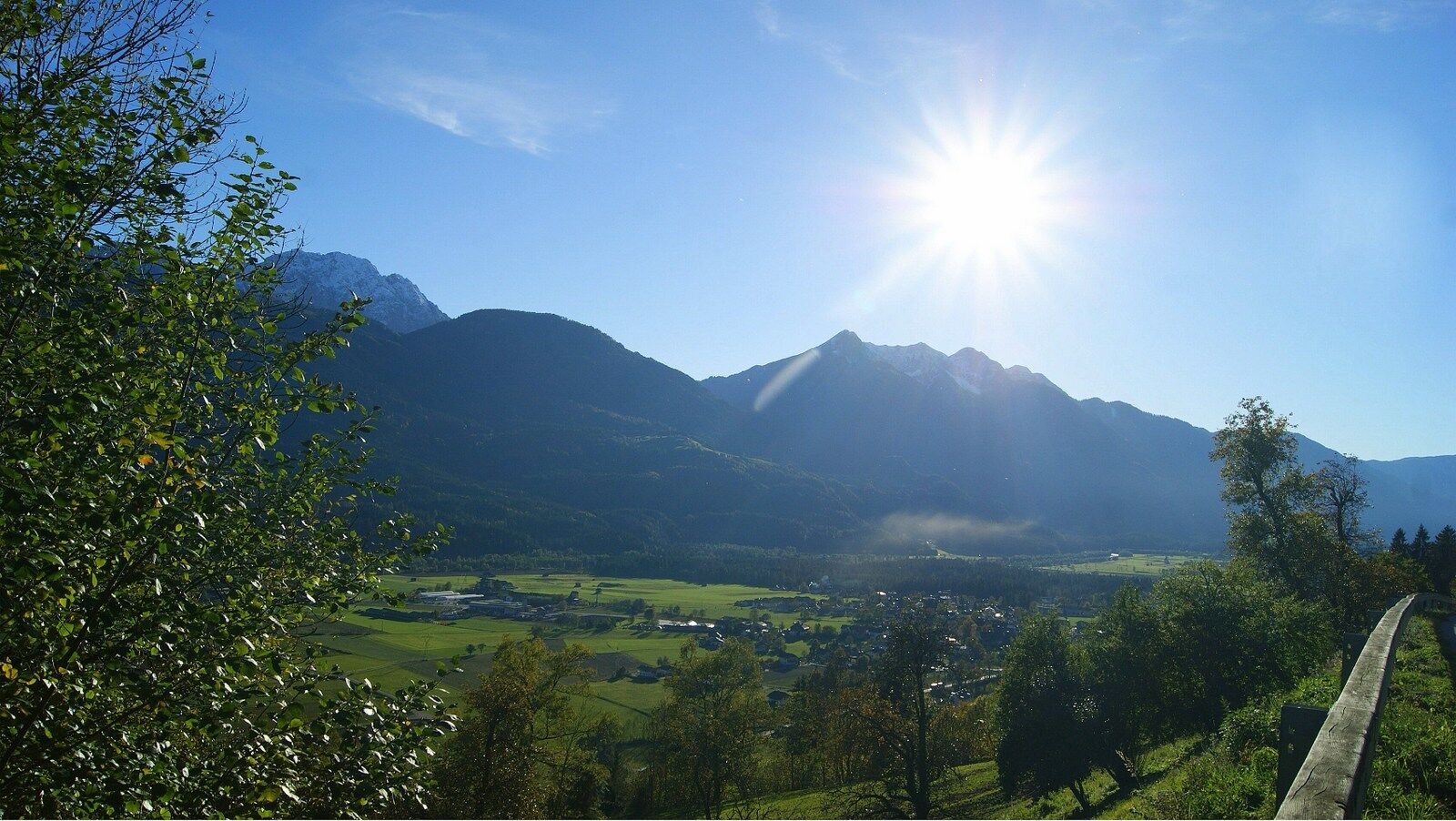

Starting from the information point in front of the Greifenburg community office, you walk along the main street through the town (eastward direction). At the end of the town, turn left toward the parsonage. The path now leads uphill through the parsonage lane to Galgenbichl. Here the path becomes a trail. Slightly ascending, you walk through shady forests and over lovely meadows along the southern slopes of the Kreuzeck group to about 700 m above sea level. After about 1 hour of walking, you descend a few meters into the Radlacher Graben, follow it briefly uphill, and soon turn onto the Sunseitn panorama trail. Here, you have reached the easternmost point of the route. Almost 100 meters of elevation must now be overcome again uphill before returning to the town center of Greifenburg over an asphalt road with a steady gentle descent. Those who do not want to miss the obligatory snack at the inn can reach Gasthof Ranner in 15 minutes from Radlacher Graben (signposted).
Tak
Sturdy footwear
Via the B100 to Greifenburg to the community office.
Greifenburg community center
Along the path, you can still find extremely rare sweet chestnut trees.
Kamery internetowe z trasy
Embergeralm - Almgasthof Fichtenheim
Embergeralm - Almgasthof Fichtenheim
Greifenburg Badesee
Golfplatz Berg im Drautal
Berg im Drautal - Hotel Glocknerhof
Berg im Drautal - Hotel Glocknerhof
Berg im Drautal - Hotel Glocknerhof
Berg im Drautal - Hotel Glocknerhof
Berg im Drautal - Hotel Glocknerhof
Berg im Drautal - Hotel Glocknerhof
Berg im Drautal - Hotel Glocknerhof
Berg im Drautal - Hotel Glocknerhof
Café Hassler
Emberger Alm
Emberger Alm
Uzyskaj wgląd Zawsze na żywo z ponad 9 500 kamer internetowych. bergfex Jako użytkownik Pro, możesz teraz zobaczyć odpowiednie kamery internetowe dla wielu wycieczek w aplikacji wycieczki od. Pozwala to na bezpośredni podgląd aktualnych warunków. Popularne wycieczki w okolicy
- 4,7
W5 - Naggler Alm Round Weissensee
średniMountainbike 15,8 km - 4,9
Slow Trail Weissensee
średniWędrówka 6,69 km - 4,6
RW_N9 Weißenbachklamm
średniWędrówka 7,49 km - 4,9
Weissensee Ost- nach Westufer
światłoWędrówka 10,2 km - 4,8
Weiße Wand - Alm hinterm Brunn
Mountainbike 22,1 km - 4,6
Bergstation Weißensee bis Golz
średniWędrówka 14,8 km - 4,8
Drau Cycle Path R1
światłoJazda na rowerze 75,9 km - 4,4
WY_W2 hike to the Alm behind the Brunn
średniWędrówka zimą 3,04 km - 4,2
Emberger Alm - Hochtristen
średniWędrówka 9,50 km - 4,9
Weißenbachklamm
ciężkiWędrówka 5,80 km
Wędrówki i tropienie


Nie przegap ofert i inspiracji na następne wakacje
Twój adres e-mail została dodana do listy mailingowej.





