







Reißkofel - Comptonhütte


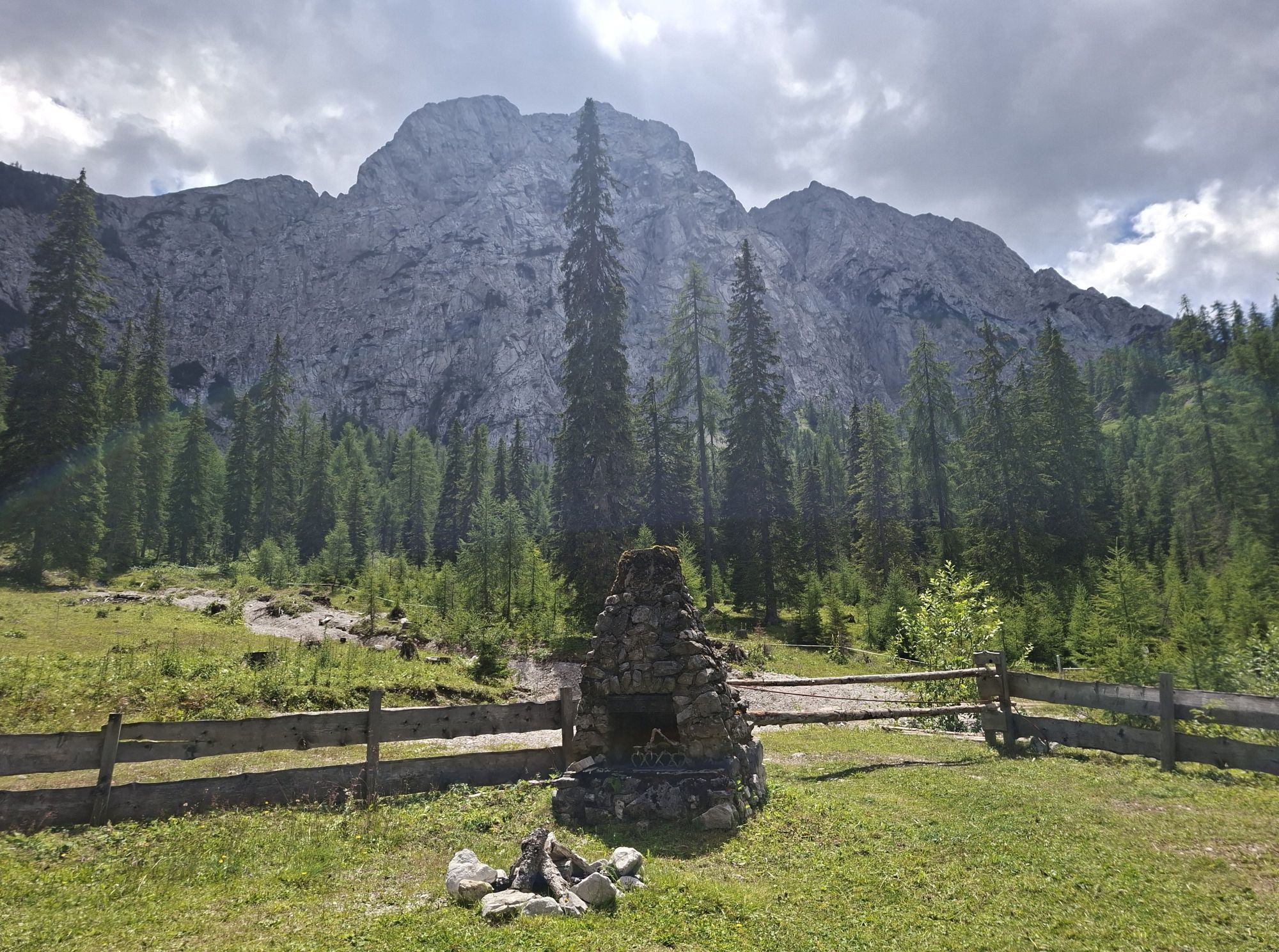


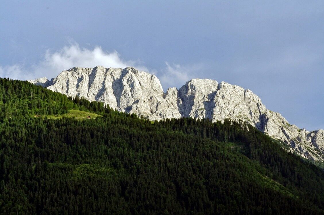
Legendary is the striking rock southwest of Greifenburg. For it is said that in the Reißkofel there is a large lake whose surrounding walls hang with golden icicles. For the route to this mystical summit,...
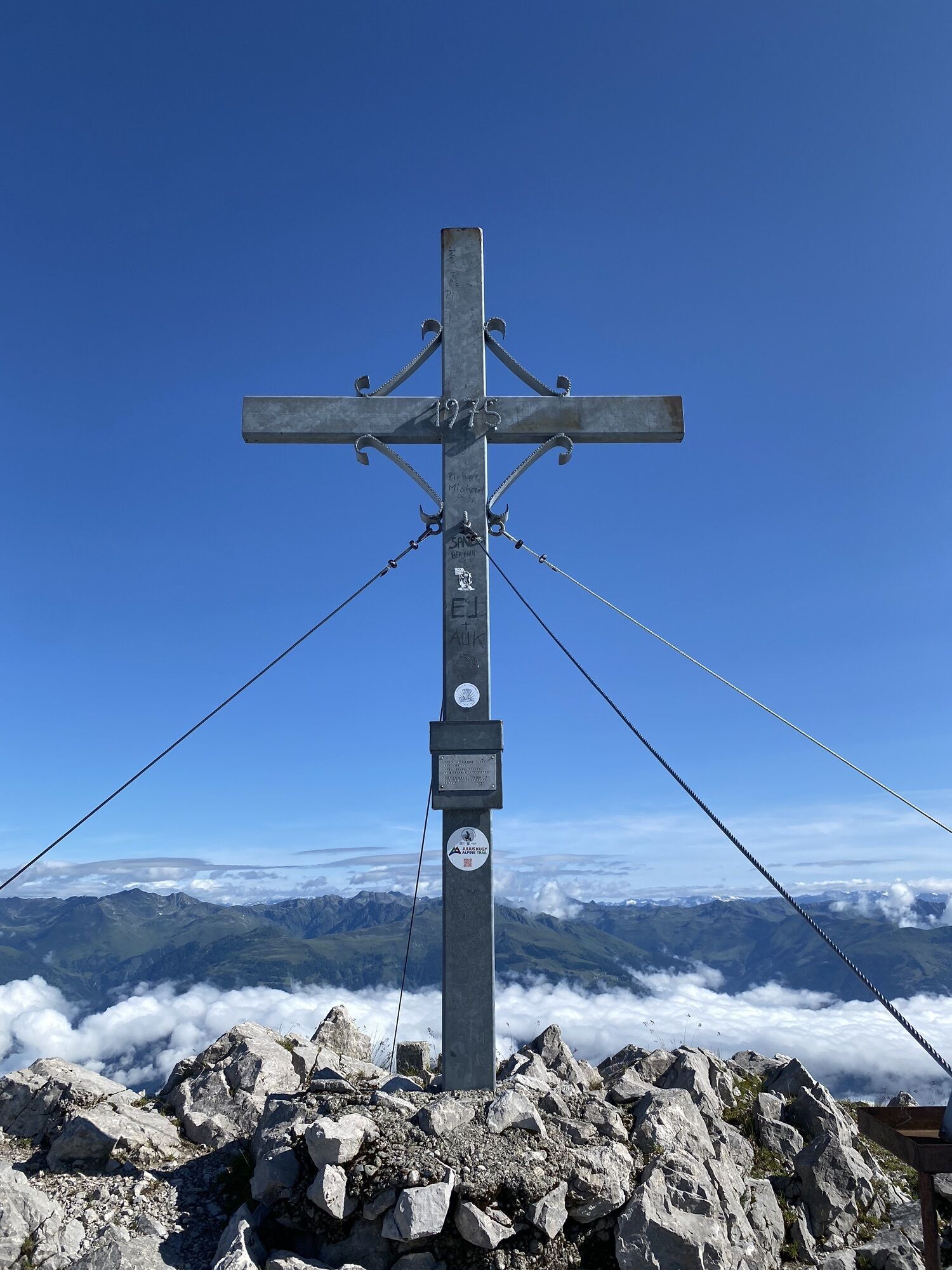
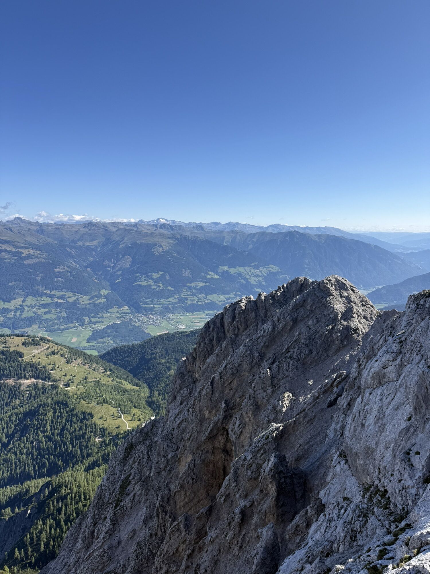
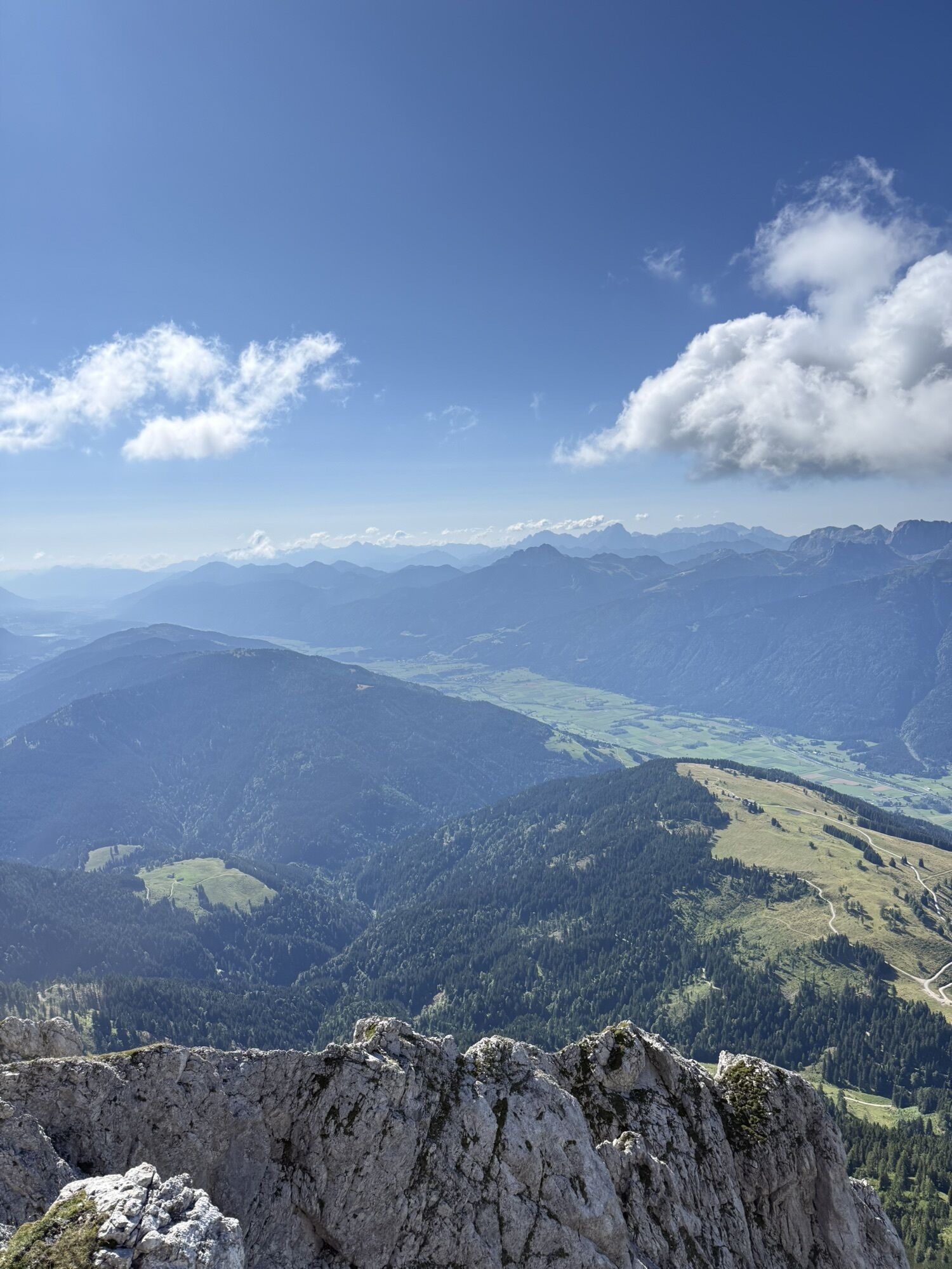
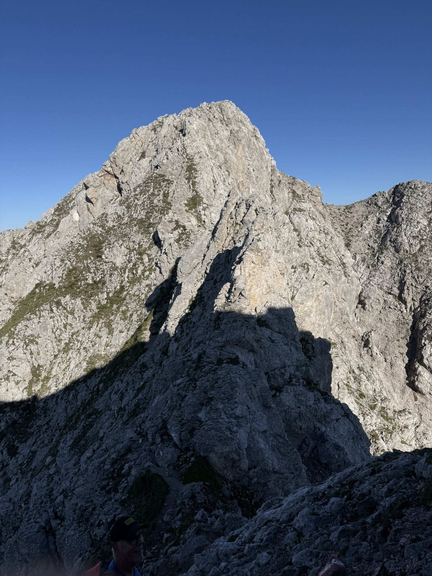
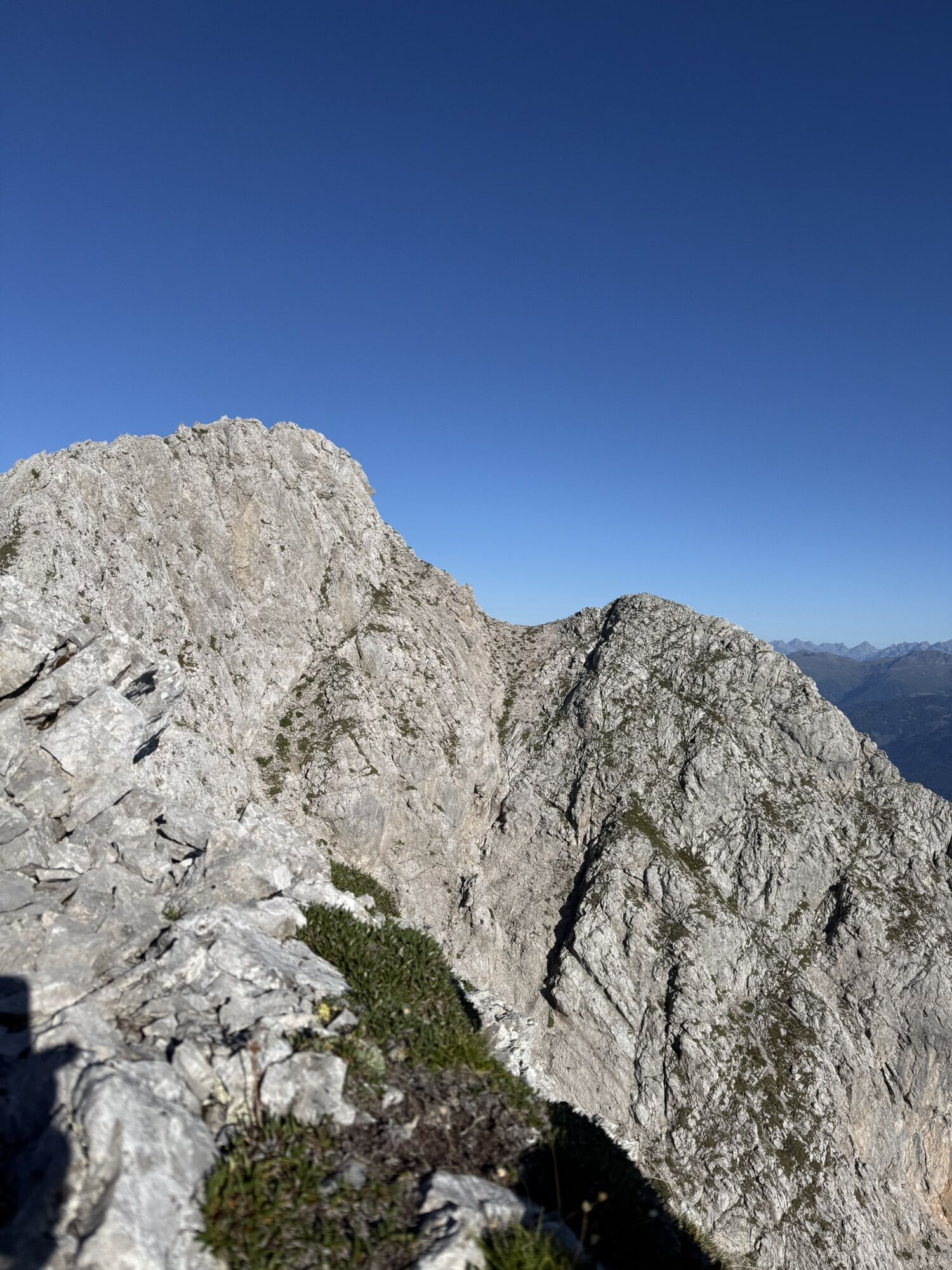
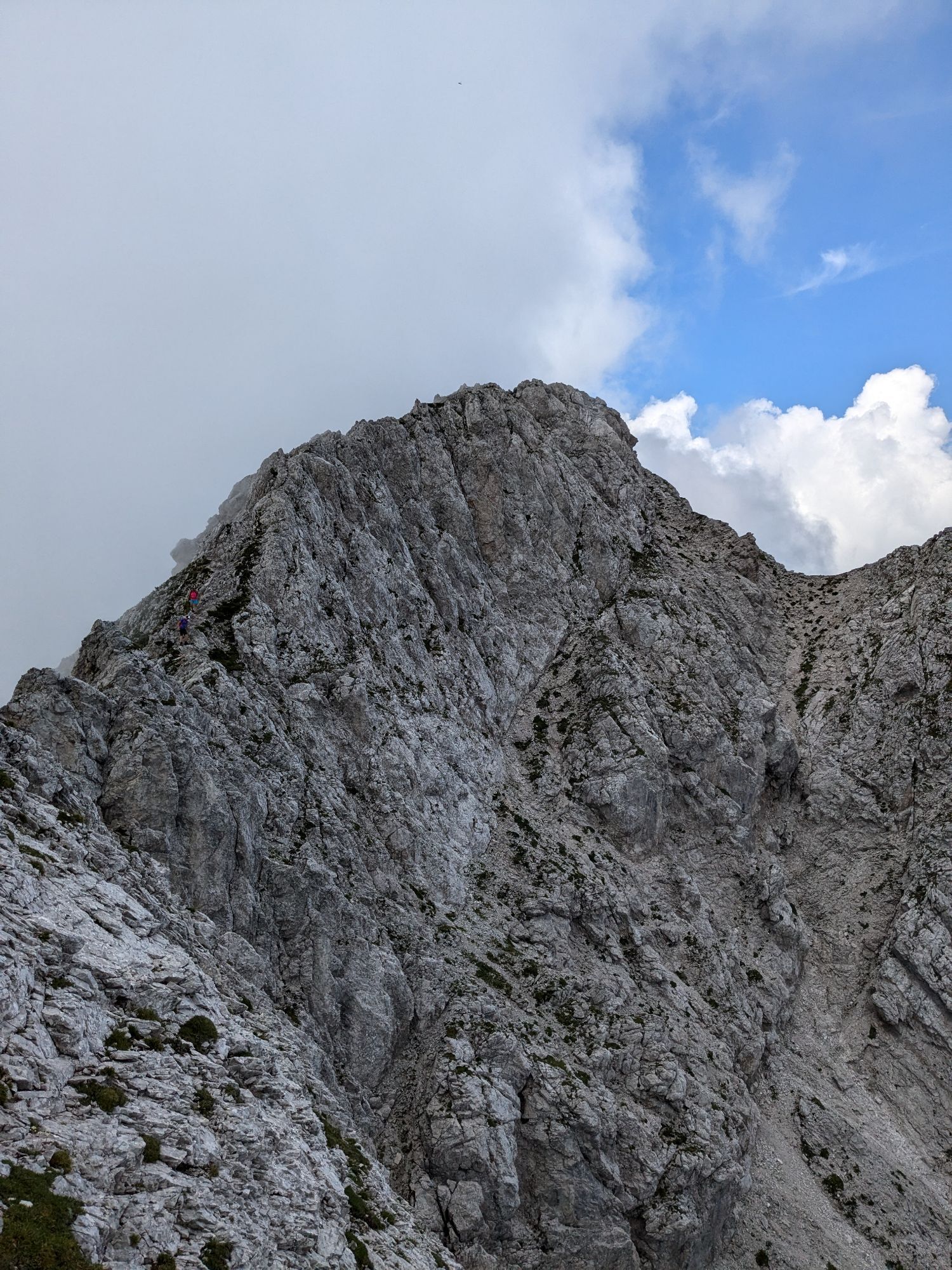
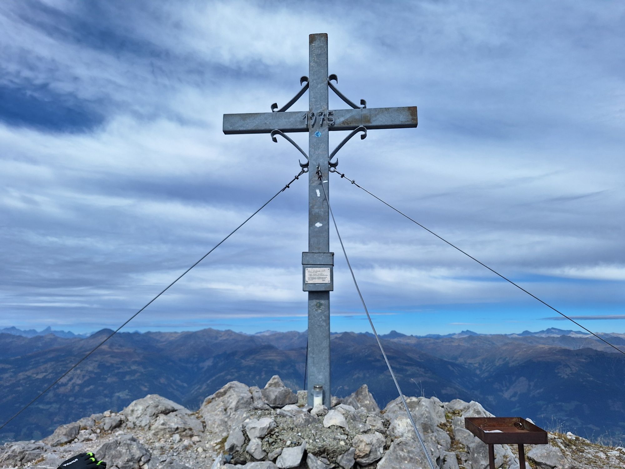
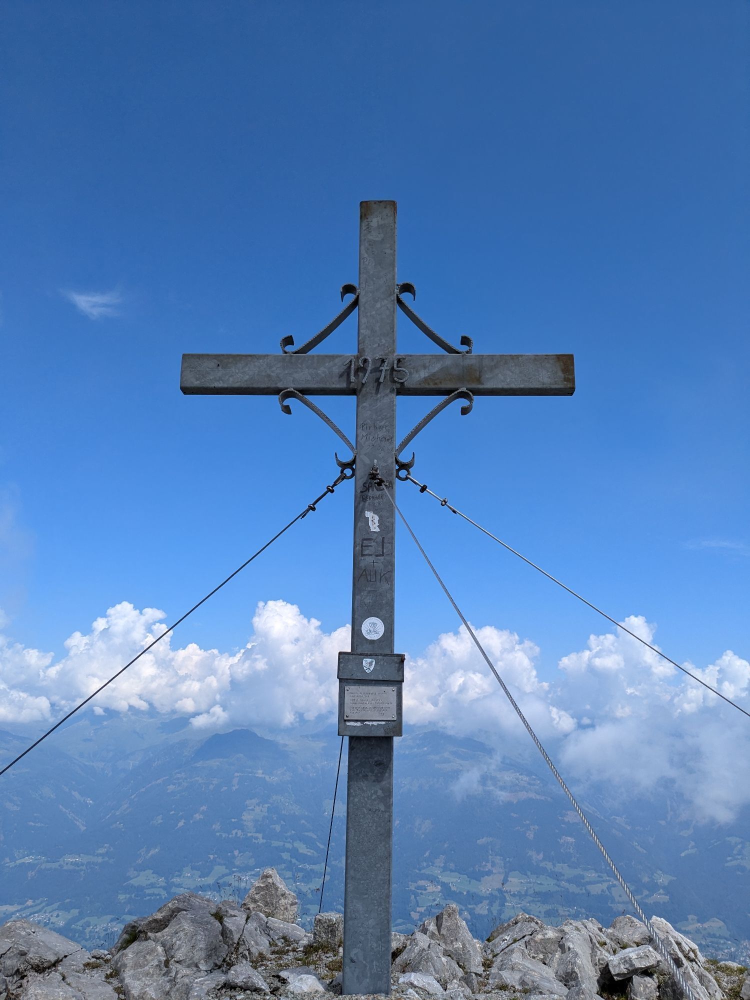
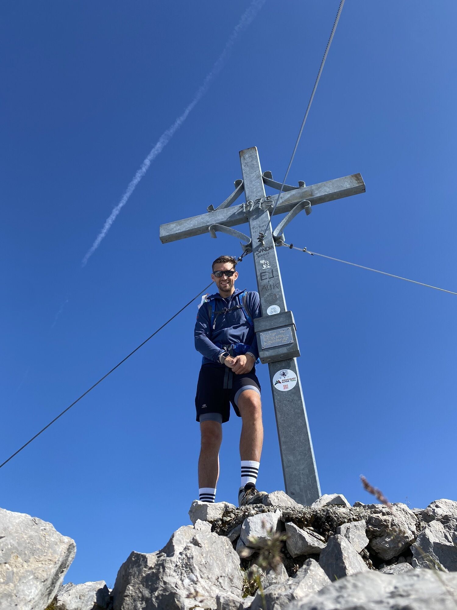
Legendary is the striking rock southwest of Greifenburg. For it is said that in the Reißkofel there is a large lake whose surrounding walls hang with golden icicles. For the route to this mystical summit, it is best to plan two days, starting in Egg and spending the night at the rustic Comptonhütte. The summit day demands considerable strength and sure-footedness from the climber. The sharp summit ridge fascinates the experienced mountaineer. Fear of heights - forbidden. The legendary gold of the Reißkofel is found by the climber in the form of the stunning view from the summit. Anyone who climbs here discovers the Drava Valley anew!
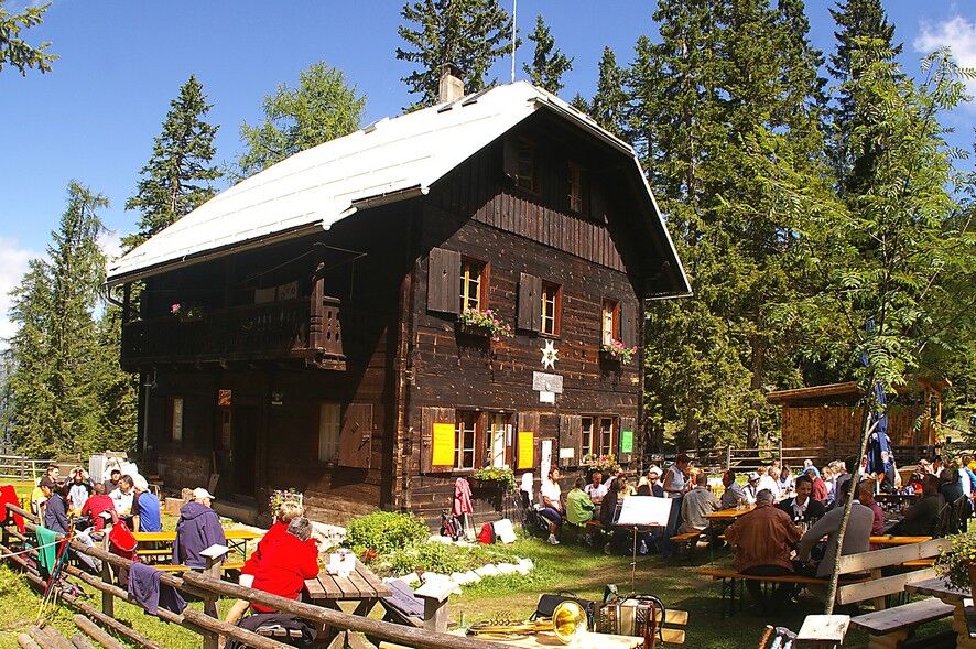
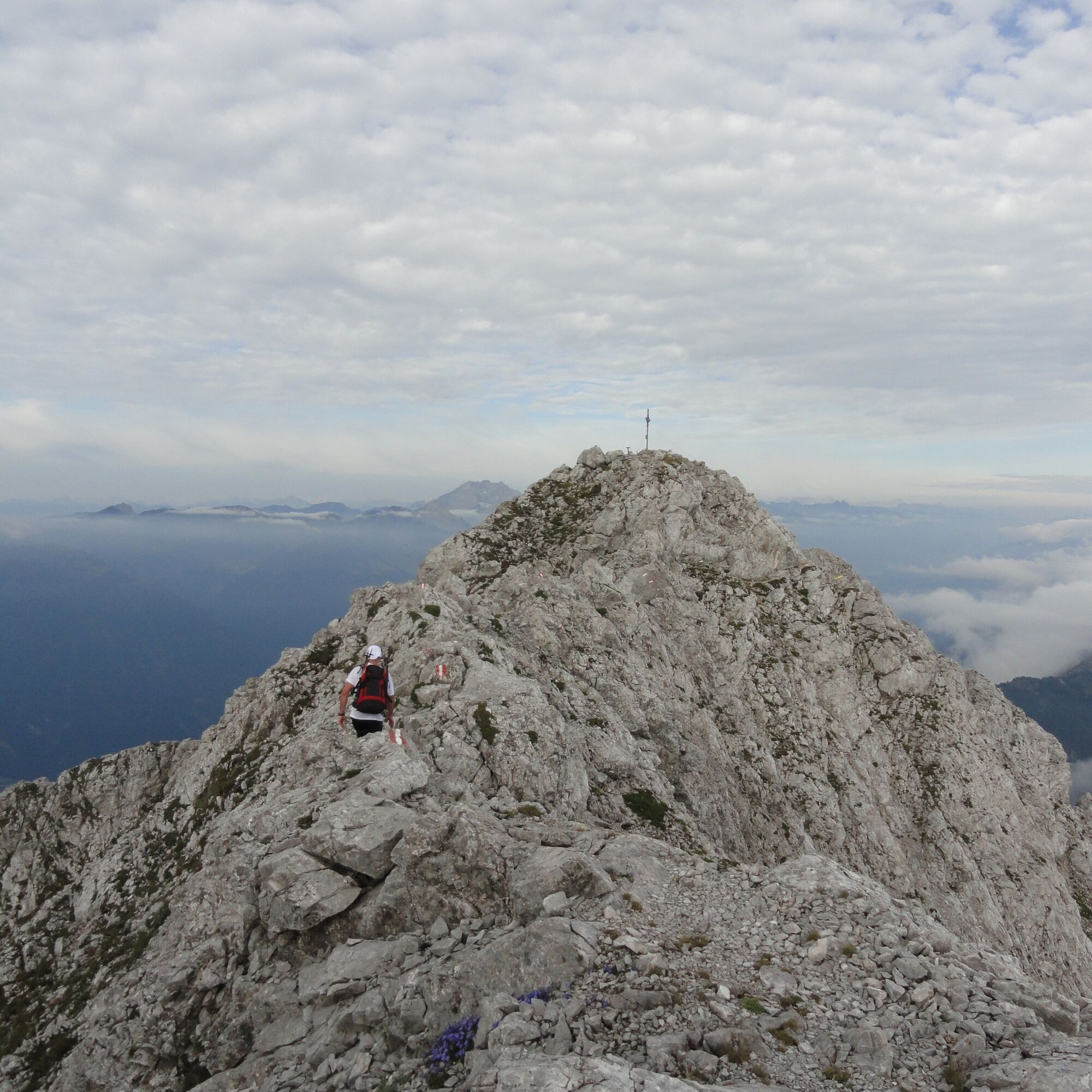
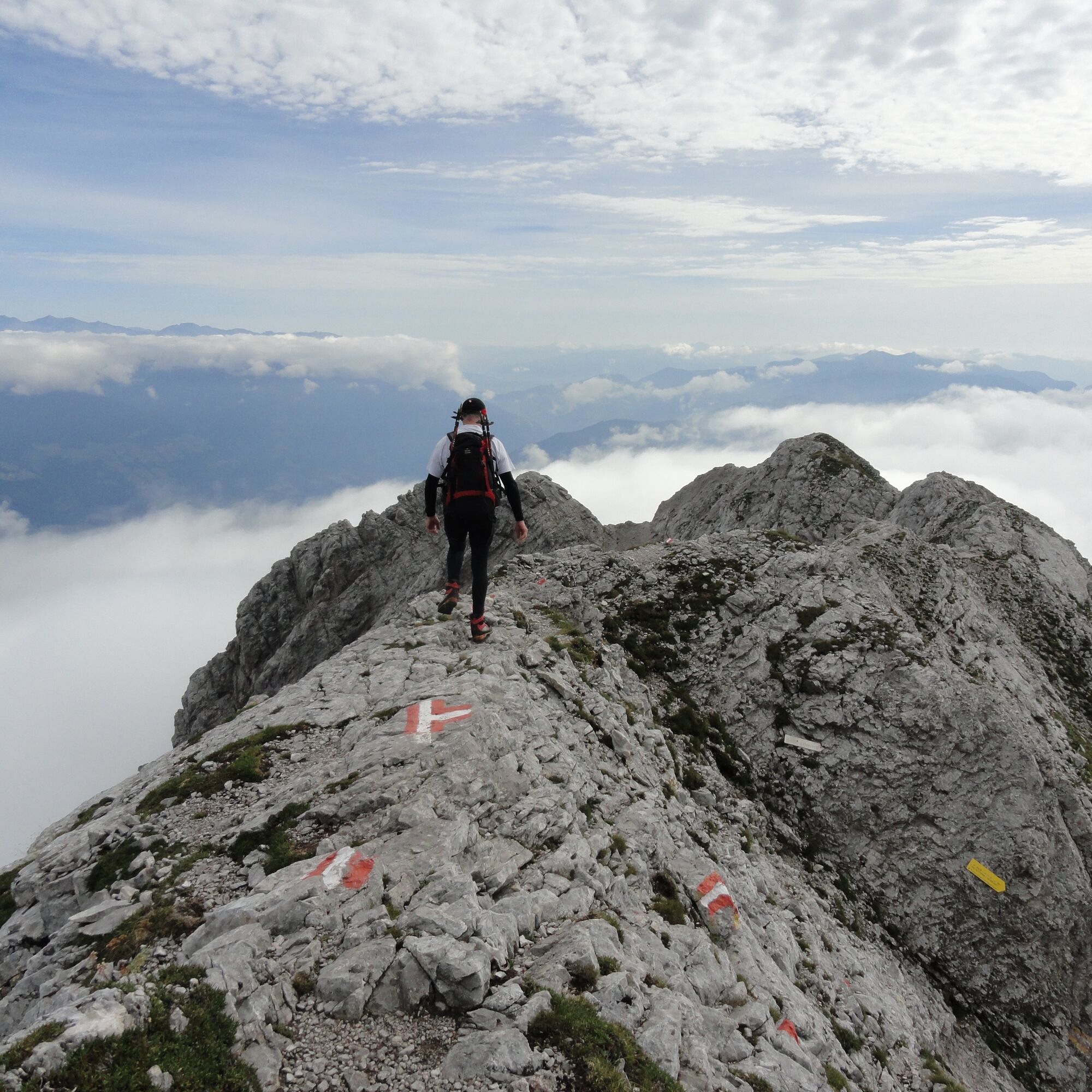
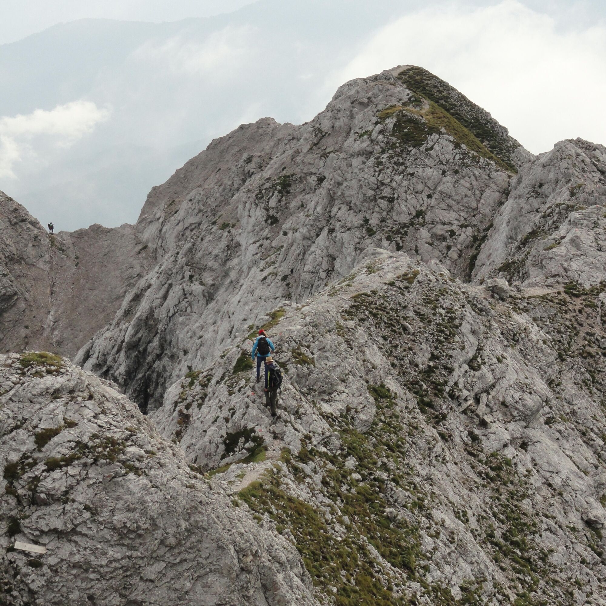

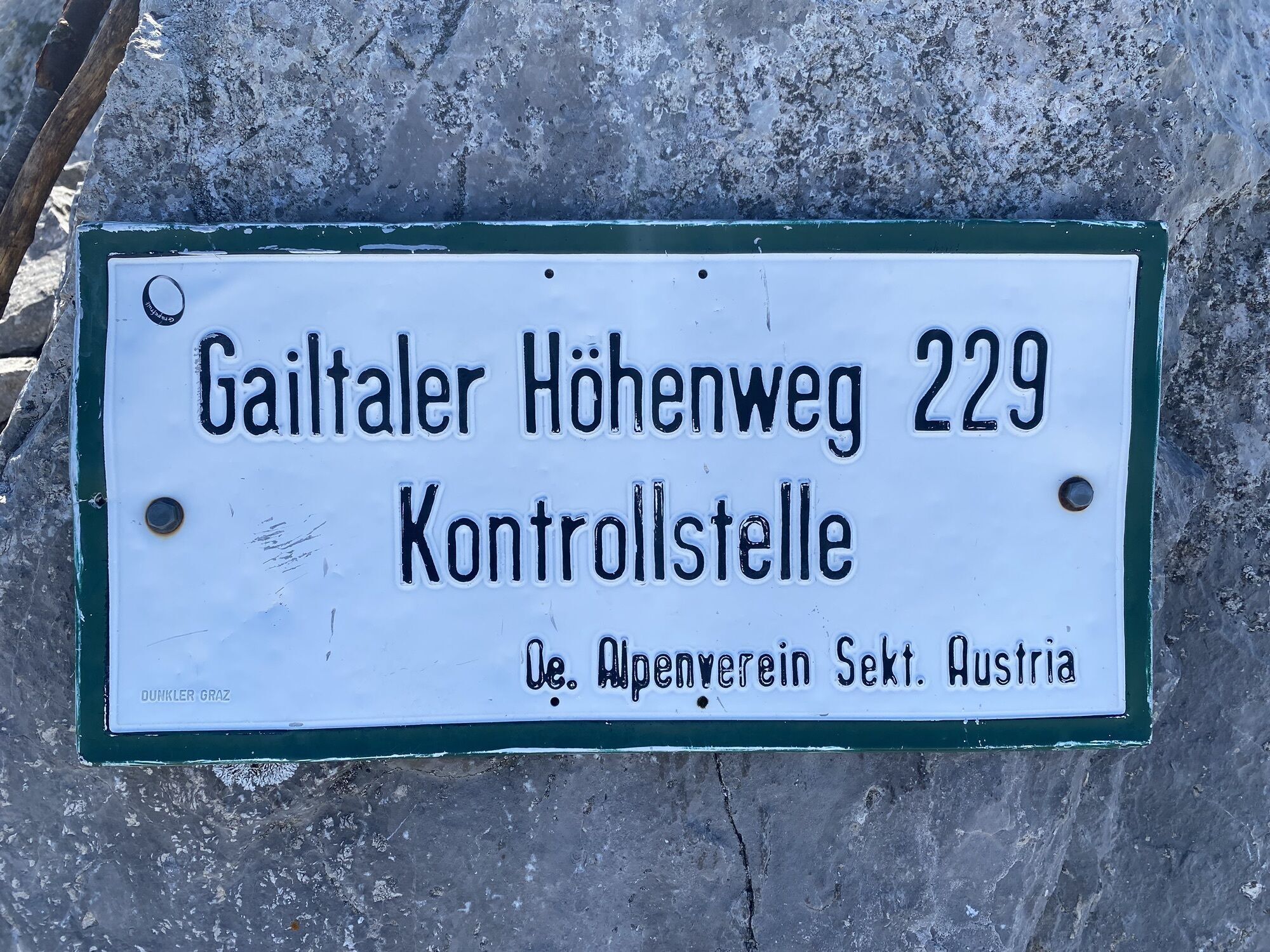
From the hiking information point south of the Drava bridge, drive briefly upstream and follow the signs to "Egg" or "Eben" (turn left) and drive on an asphalt road to about 980 m altitude. Here you park at the edge of the forest and follow the signs on foot, which lead the hiker uphill across the meadow. On a well-marked hiking trail, you reach the idyllic Comptonhütte (1,585 m) in about 2 hours – the base camp for the summit ascent.
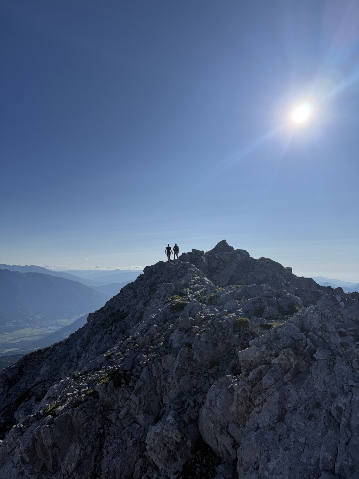
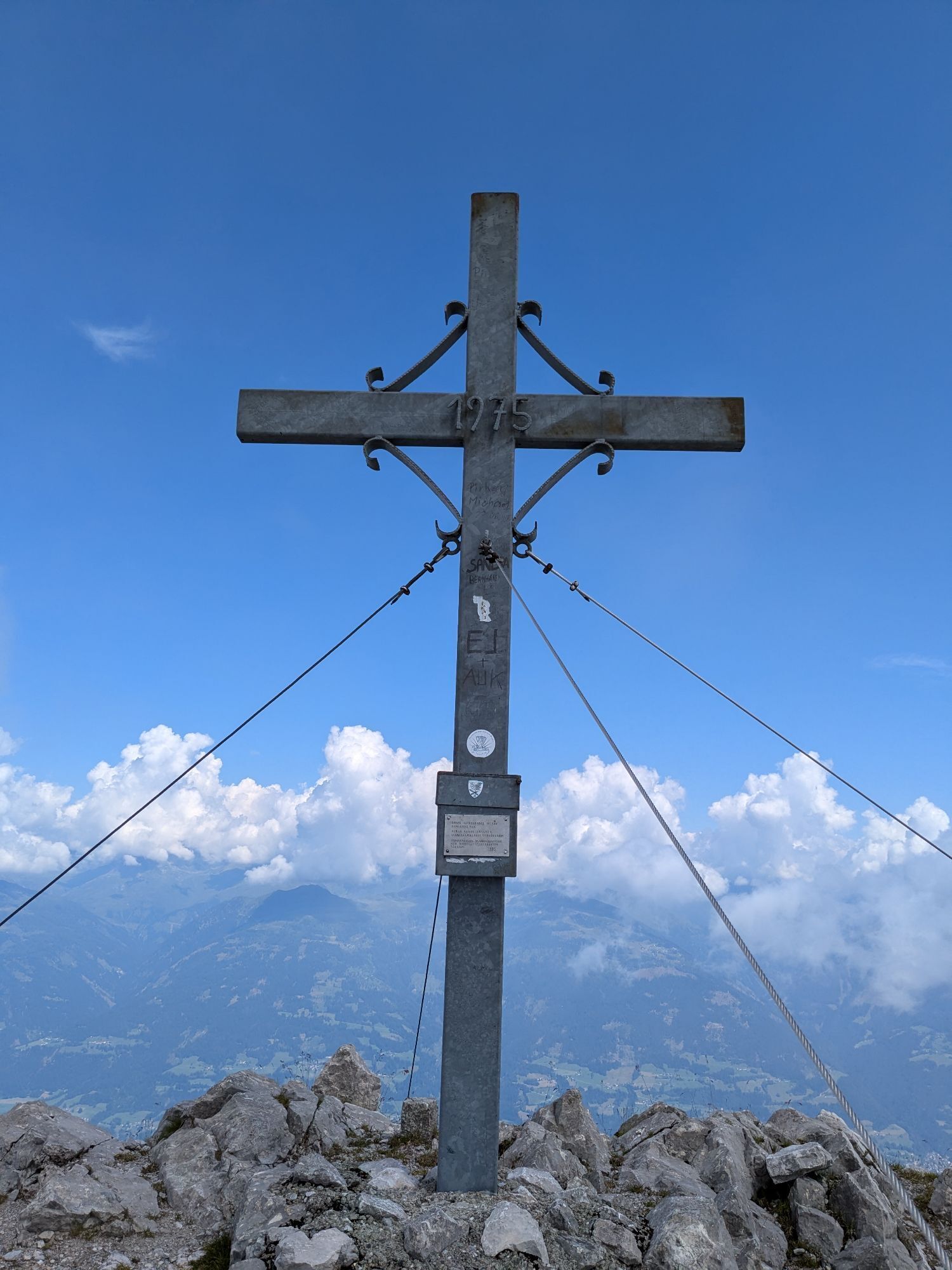
The ascent to the summit is best started early in the morning – it takes about 2.5 hours (from the Comptonhütte). Until just before the Köfeletörl at 2,130 m altitude, the path shows no major difficulties, although it is somewhat exhausting. Shortly before the pass, the path becomes increasingly alpine and exposed. For the ascent to the Köfeletörl, you sometimes have to place your hands on the rock. You now reach the south side of the mountain followed by a short resting phase before traversing a rocky and partly scree-covered broad gully. At its upper end, you meet the partly sharp ridge which you then follow to the summit (2,372 m). Definitely not for people with fear of heights and poor sure-footedness – but a pleasure for the experienced climber! The ascent route is recommended for the descent as well. An alternative, somewhat longer descent variant is the route via the scenic Pliessalm and Ebenberg.
Tak
Tak
Take the B100 to Greifenburg, then turn onto the B87 towards Weißensee. After the Drava bridge, turn right to the information point and then towards Egg.


Kamery internetowe z trasy
-
Greifenburg Badesee
-
Berg im Drautal - Hotel Glocknerhof
-
Berg im Drautal - Hotel Glocknerhof
-
Berg im Drautal - Hotel Glocknerhof
-
Berg im Drautal - Hotel Glocknerhof
-
Berg im Drautal - Hotel Glocknerhof
-
Berg im Drautal - Hotel Glocknerhof
-
Berg im Drautal - Hotel Glocknerhof
-
Berg im Drautal - Hotel Glocknerhof
-
Café Hassler

Popularne wycieczki w okolicy
-
4,7
W5 - Naggler Alm Round Weissensee
średniMountainbike 15,8 km -
4,8
Weiße Wand - Alm hinterm Brunn
Mountainbike 22,1 km -
4,3
Emberger Alm - Hochtristen
średniWędrówka 9,50 km -
4,7
Drau Cycle Path R1
światłoJazda na rowerze 75,9 km -
4,4
WY_W2 hike to the Alm behind the Brunn
średniWędrówka zimą 3,04 km -
4,9
Weißenbachklamm
ciężkiWędrówka 5,80 km -
4,8
RW_W4 Mittagsnock - Naggleralm - retour über Steig
średniWędrówka 10,6 km -
4,7
KL_N5 Crete Rosse
średniVia ferrata 6,96 km -
5,0
Emberger Alm 3er: Nassfeld, H.Gränten, Knoten
średniWędrówka 11,6 km -
5,0
Plöckenhaus - Polinik - Plöckenhaus
ciężkiWędrówka 10,9 km
Wędrówki i tropienie


Nie przegap ofert i inspiracji na następne wakacje
Twój adres e-mail została dodana do listy mailingowej.





