






Castle path
Poziom trudności: T1

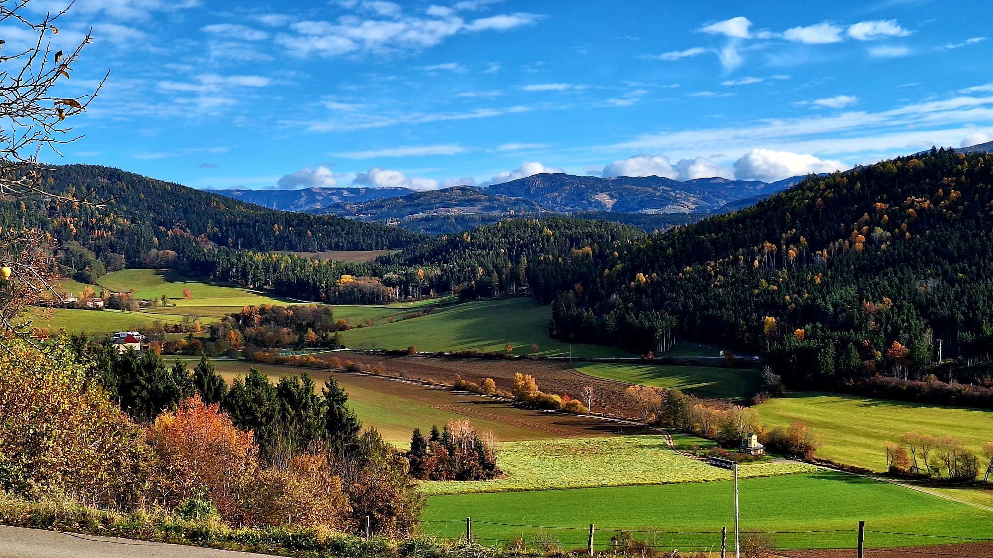
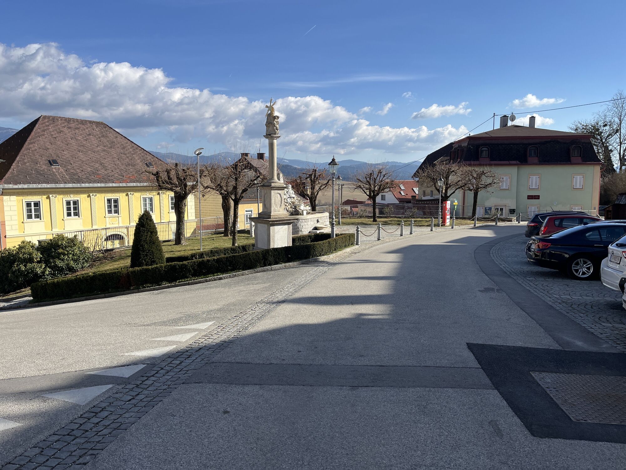
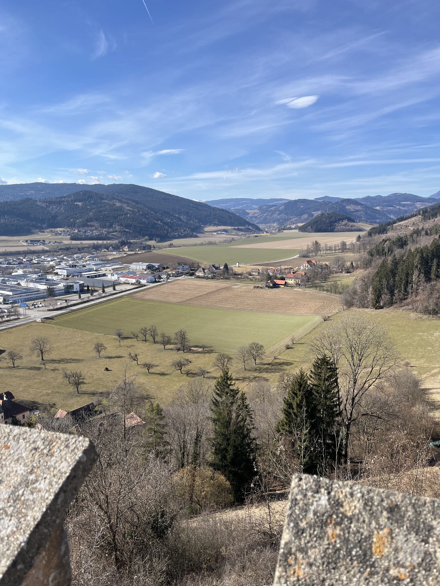
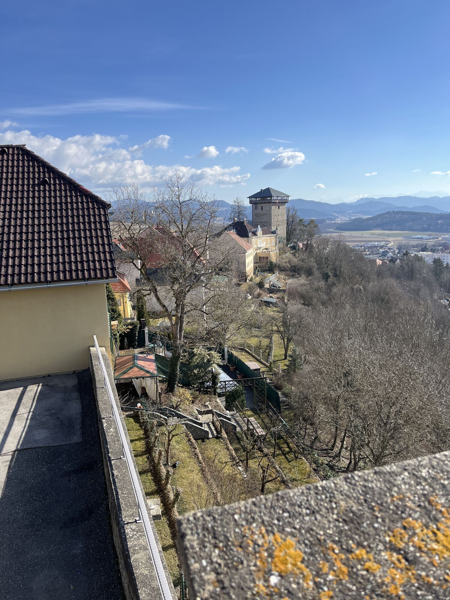
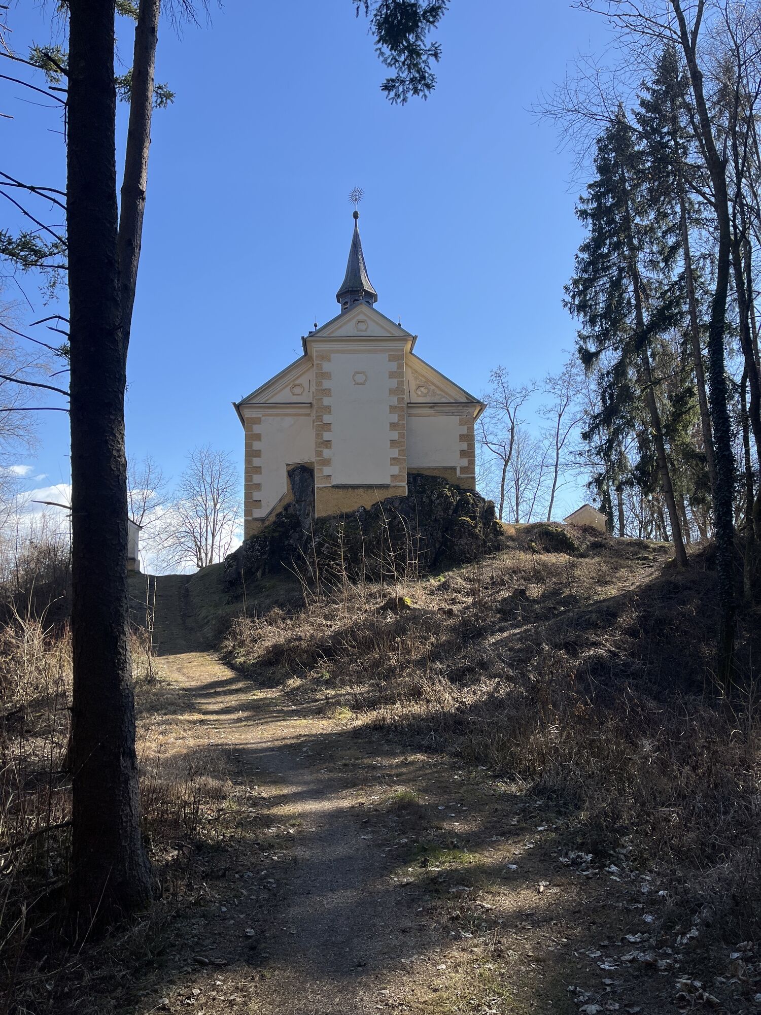
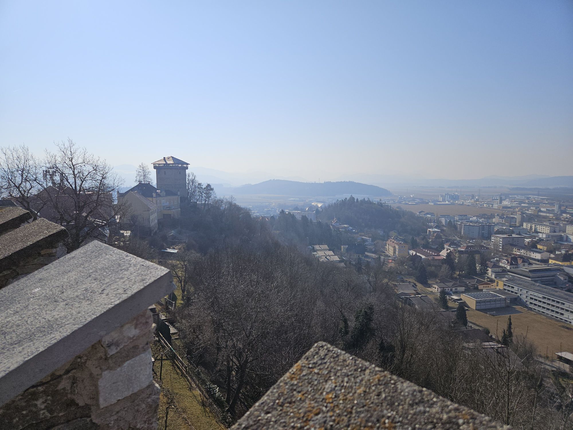
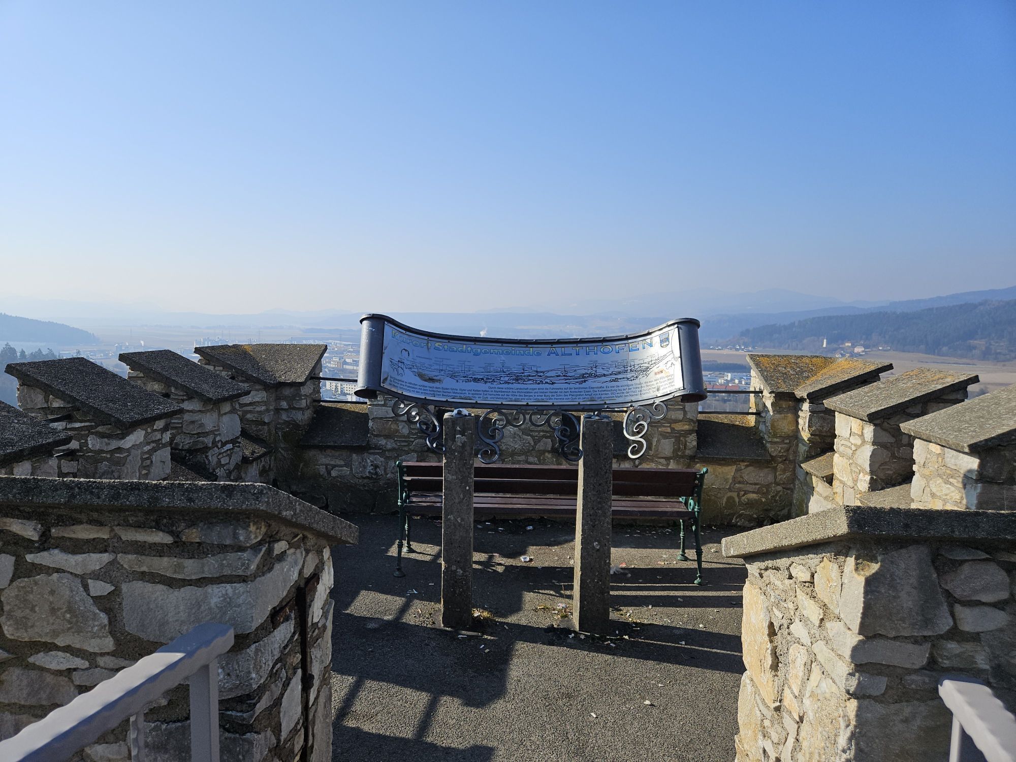
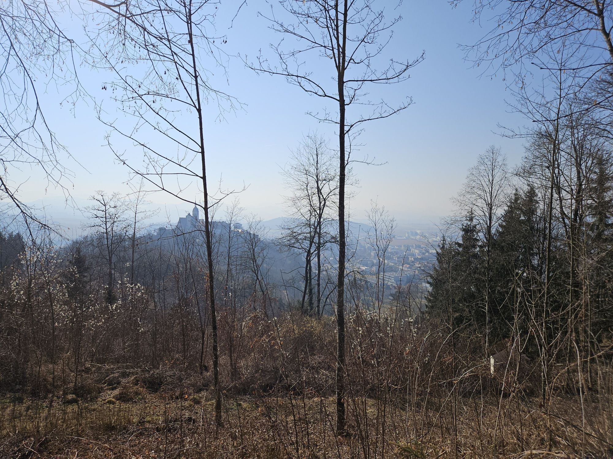
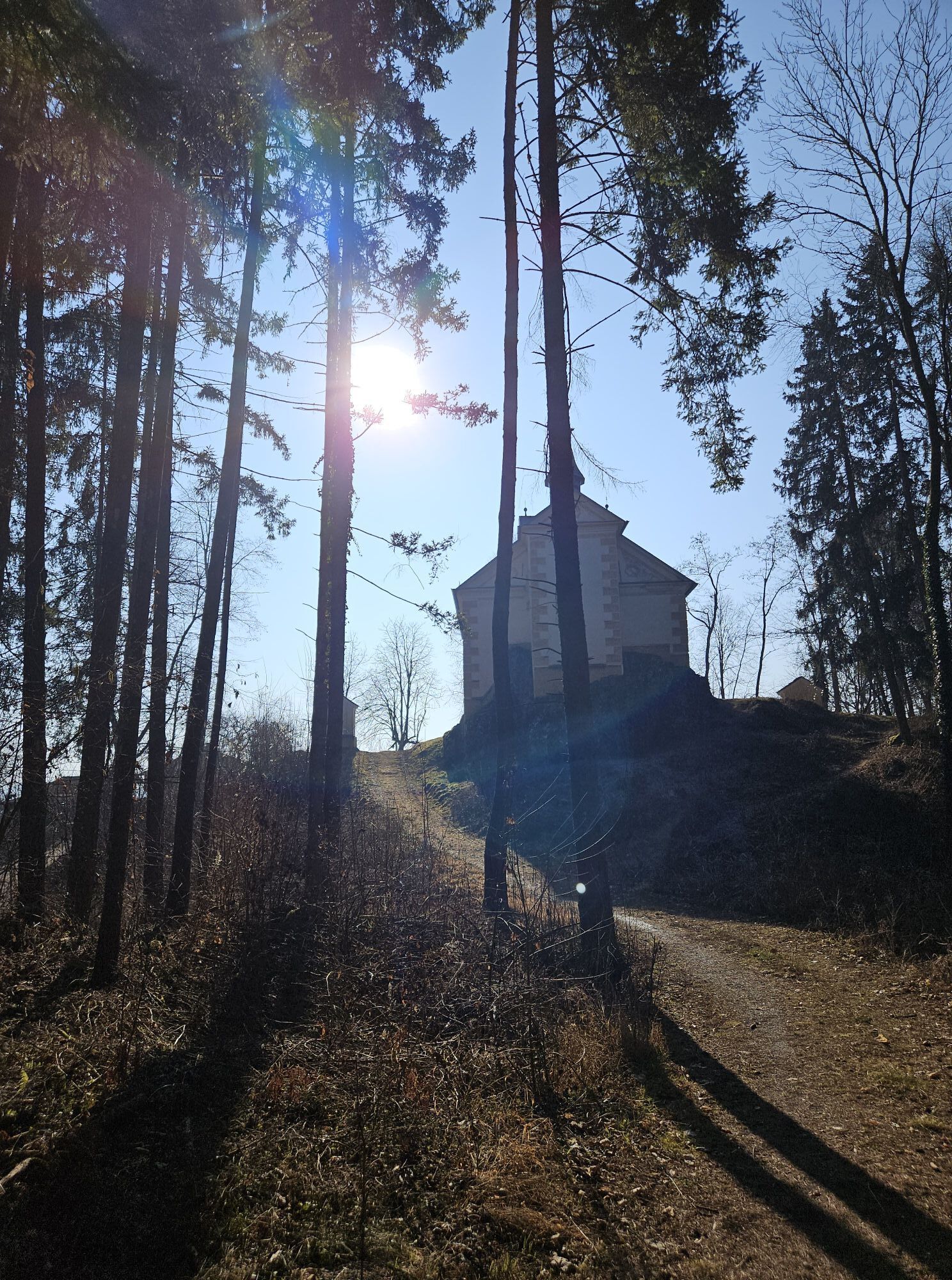
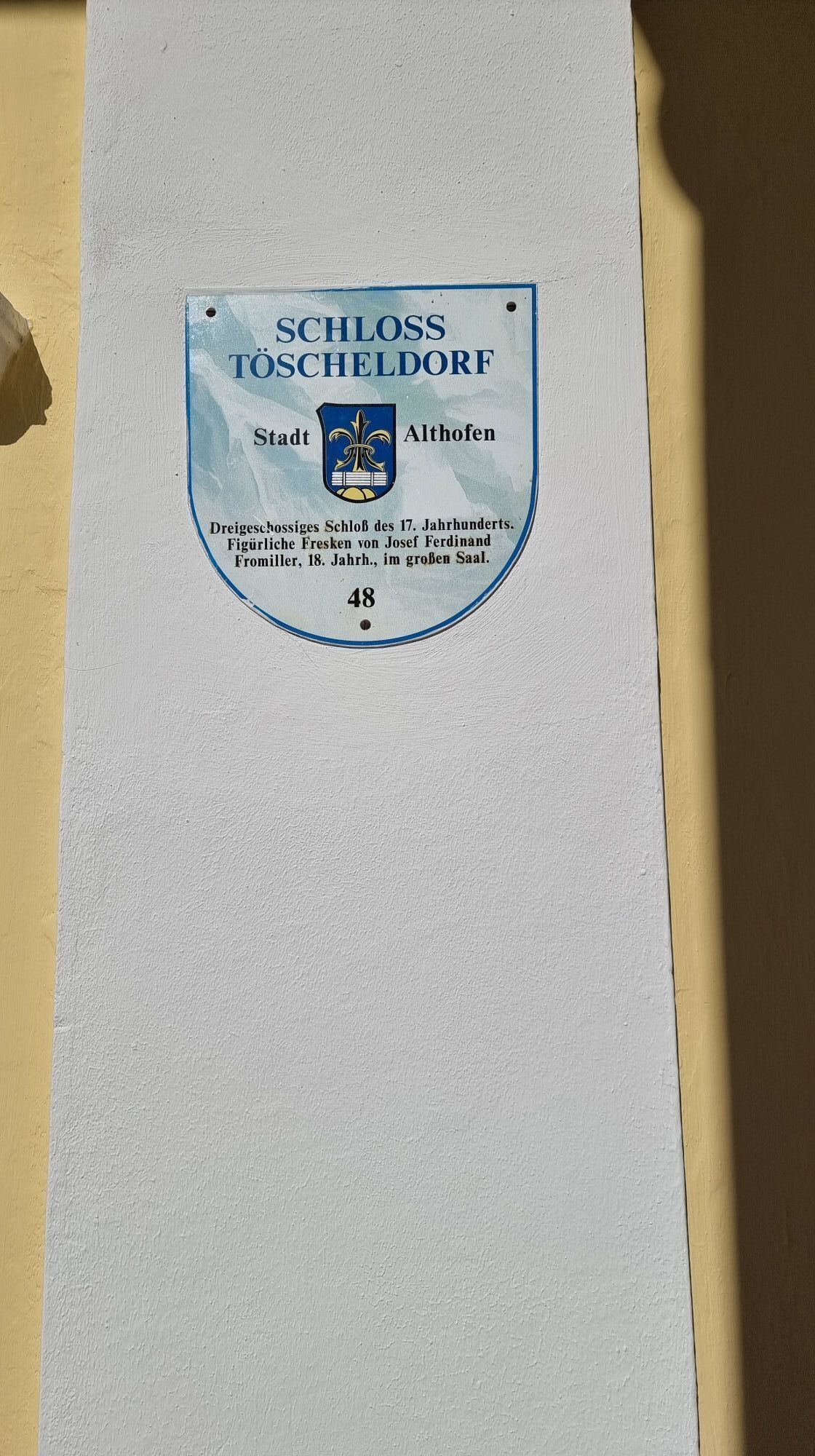
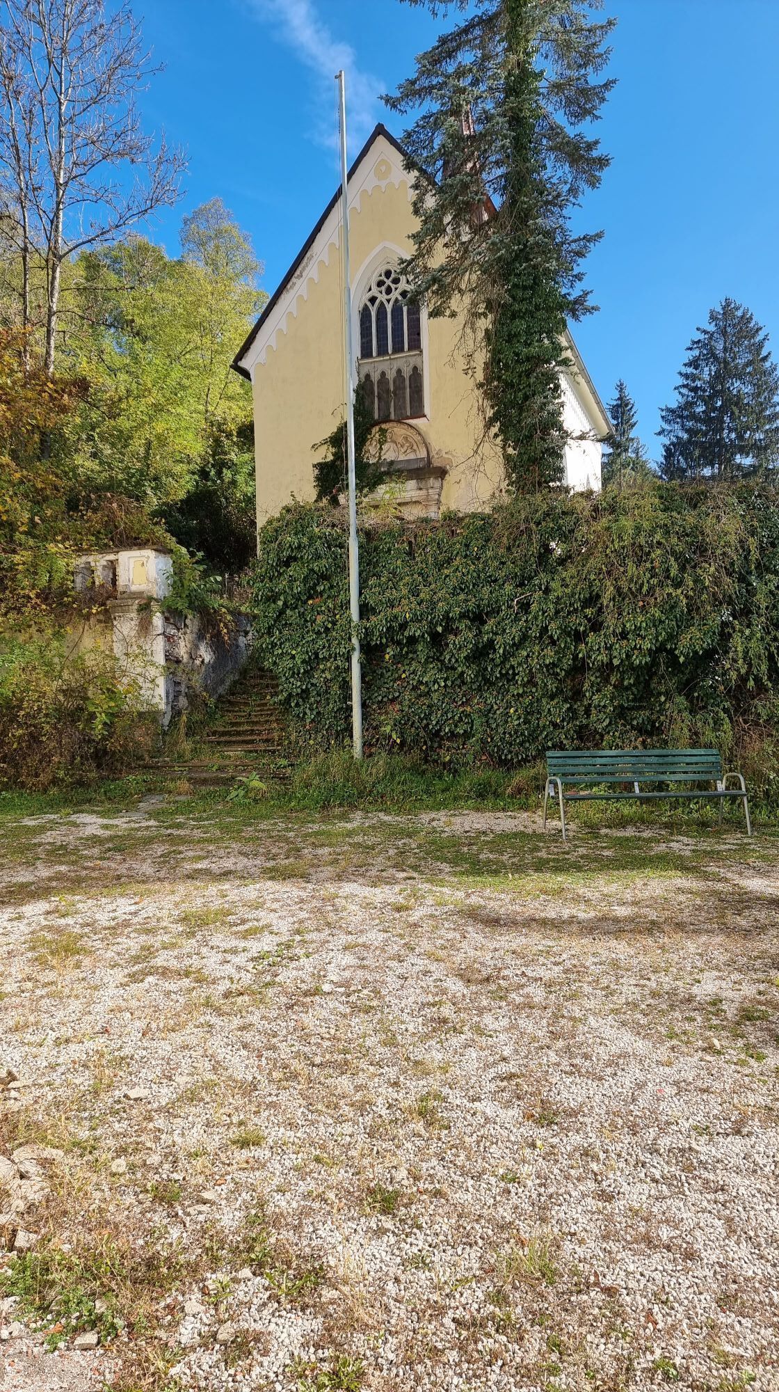
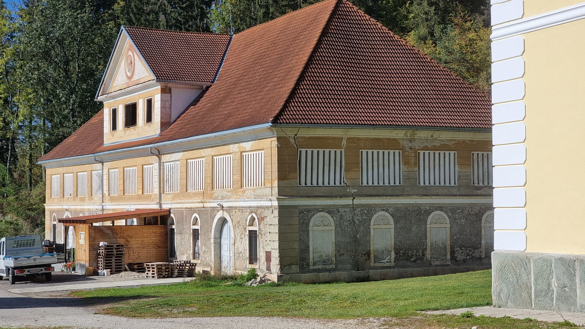
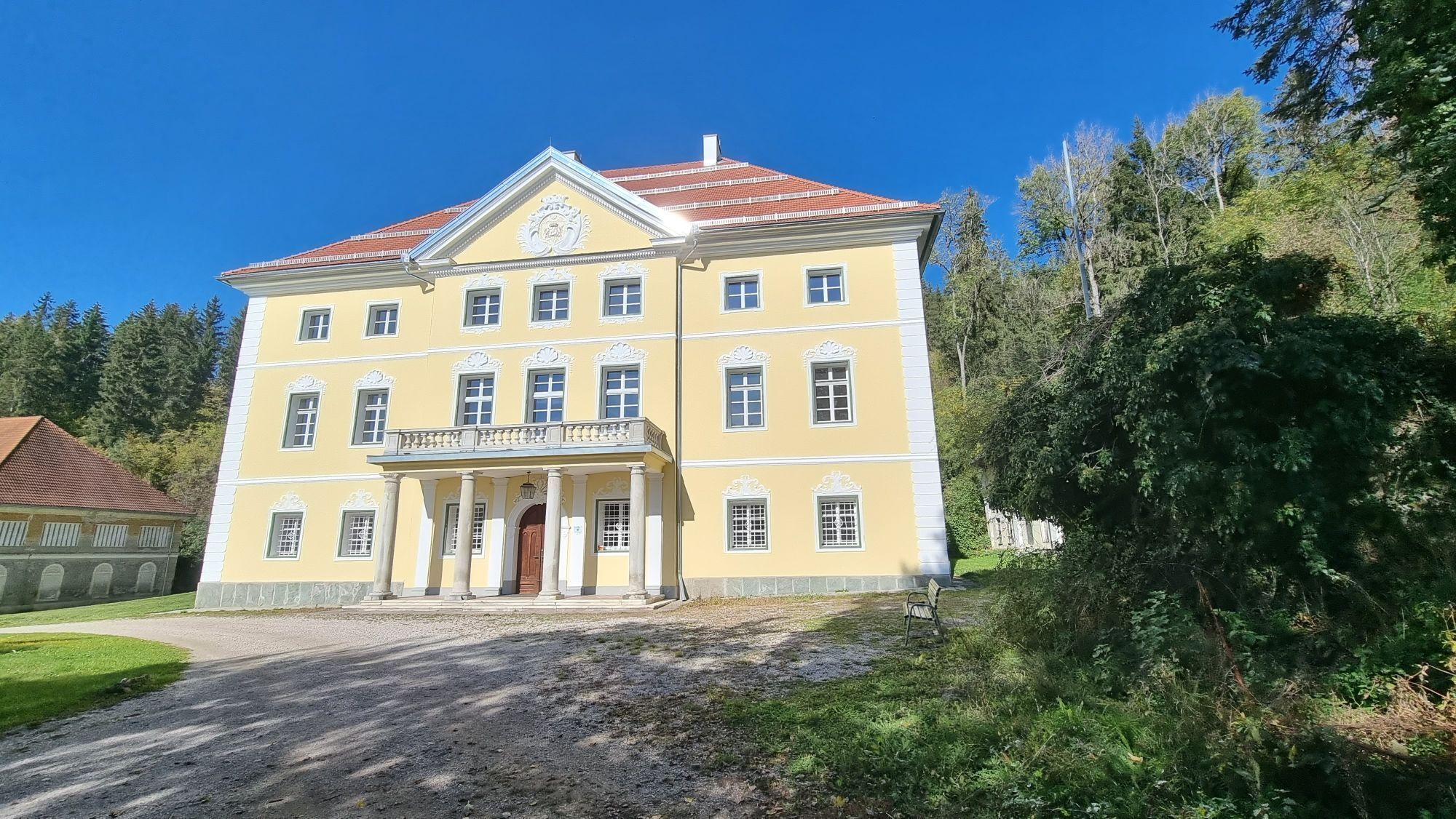
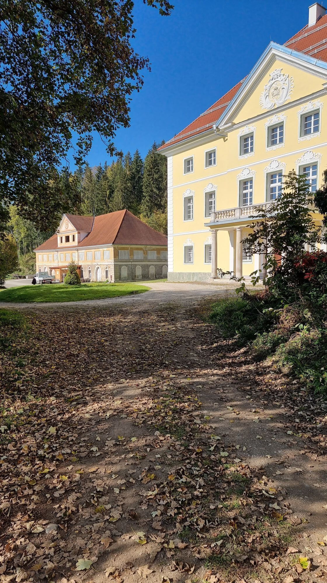
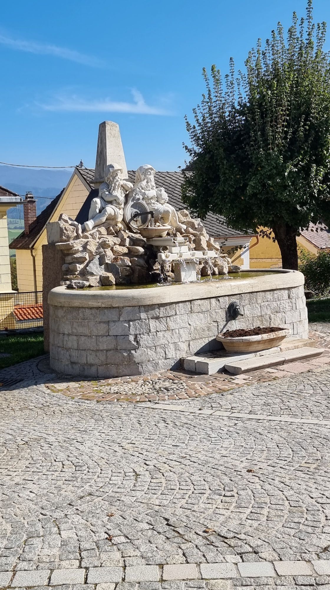
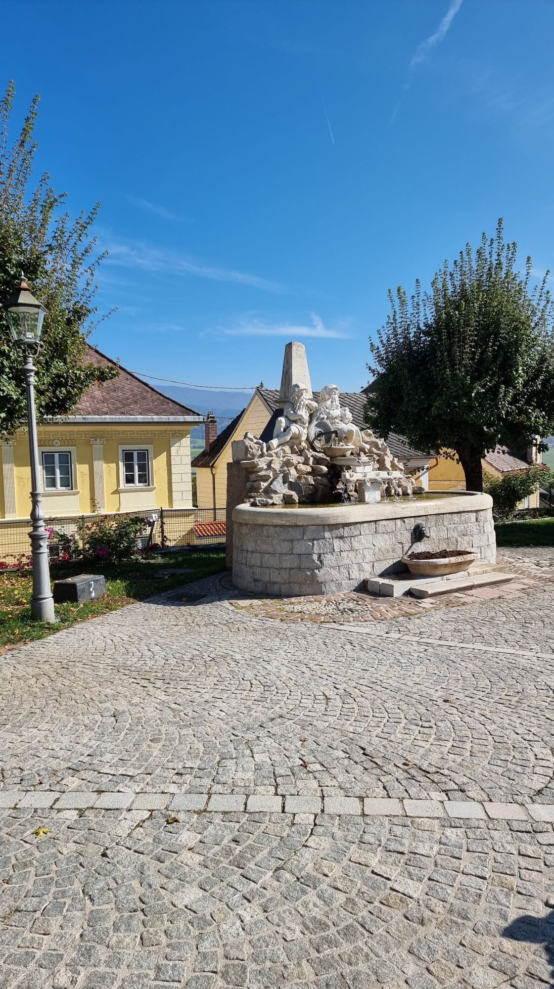
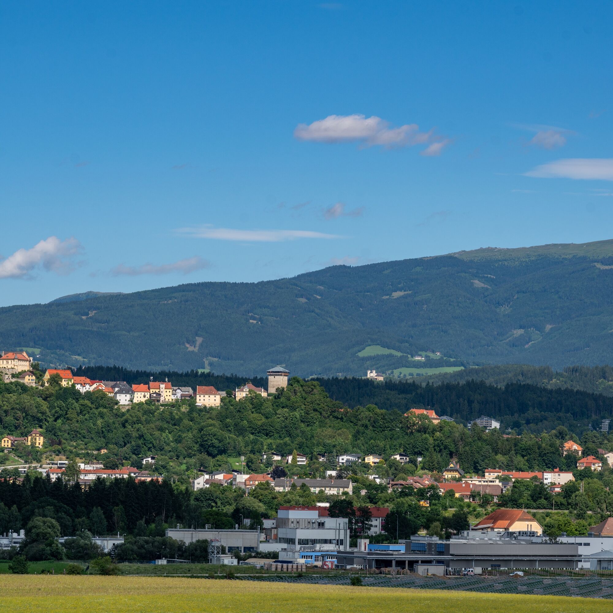
The hiking trail from the old town of Althofen over Muraniberg to Töscheldorf Castle and back to the old town leads through a picturesque and varied landscape that includes both historic sights and natural...
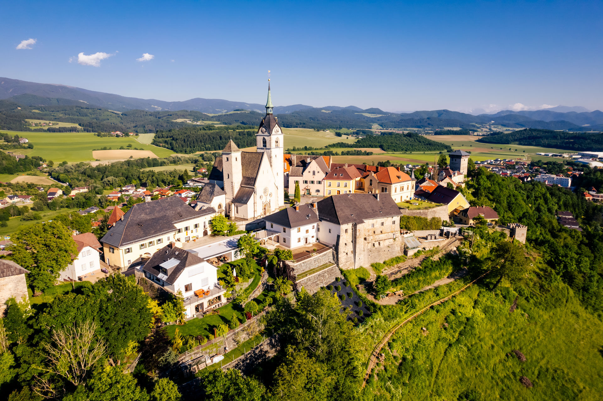
The hiking trail from the old town of Althofen over Muraniberg to Töscheldorf Castle and back to the old town leads through a picturesque and varied landscape that includes both historic sights and natural sections.
The entire hike covers about 6 km and is rated easy to medium difficulty, as there are some moderate ascents, especially up to Muraniberg. The route is well marked and passes through diverse landscapes that are both cultural and natural.

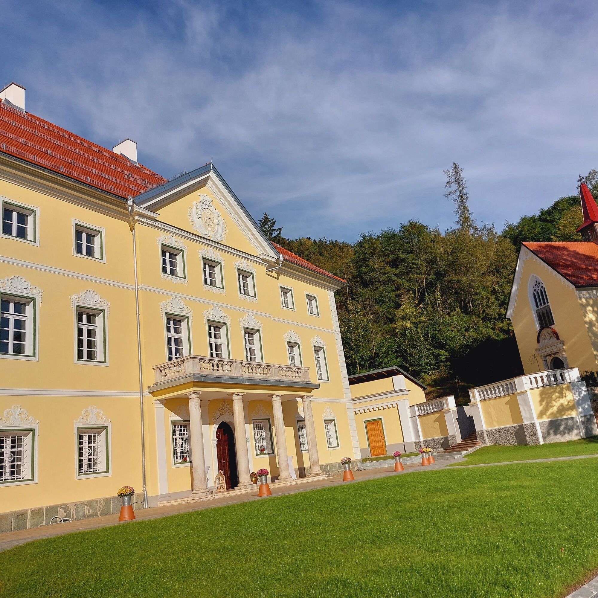

1. Start in the old town of Althofen
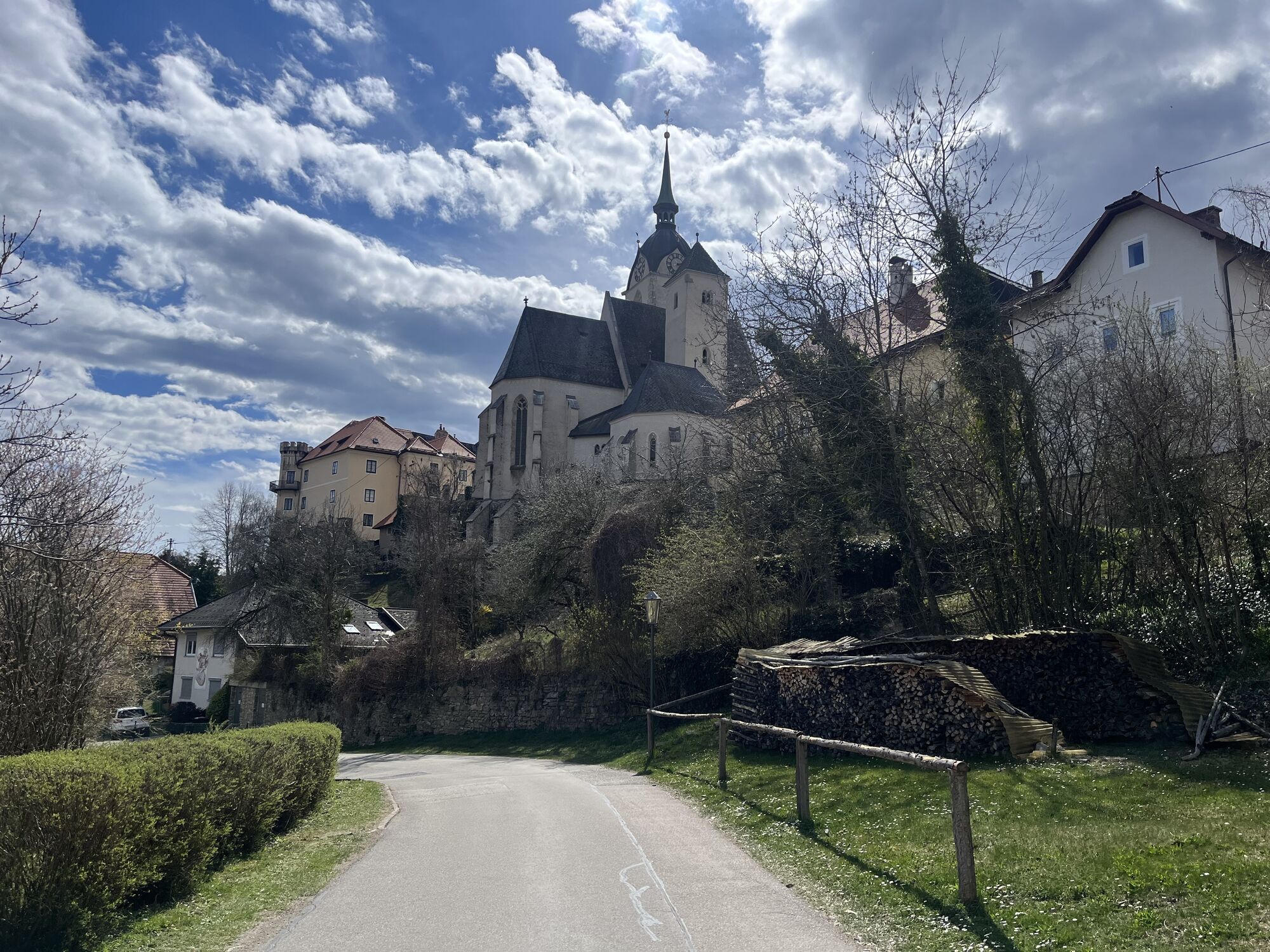
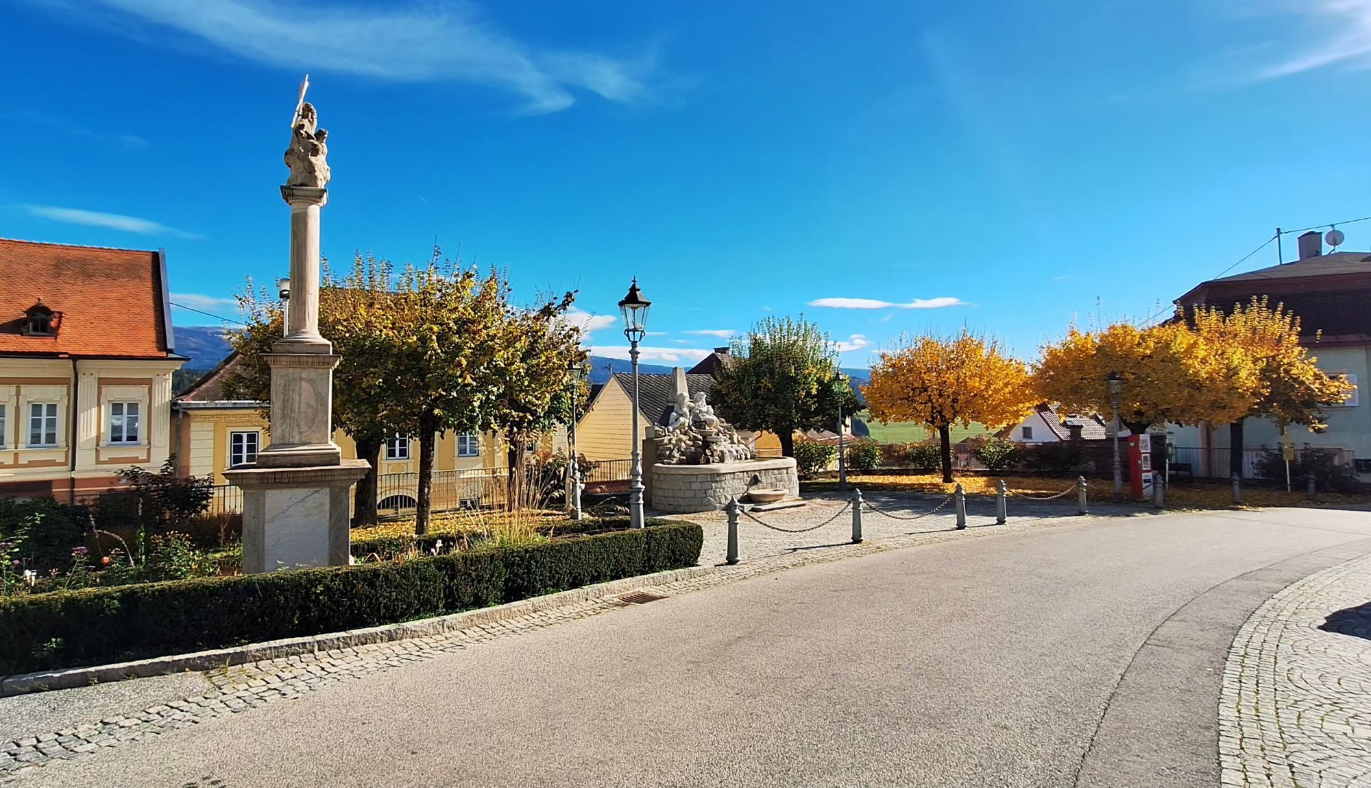
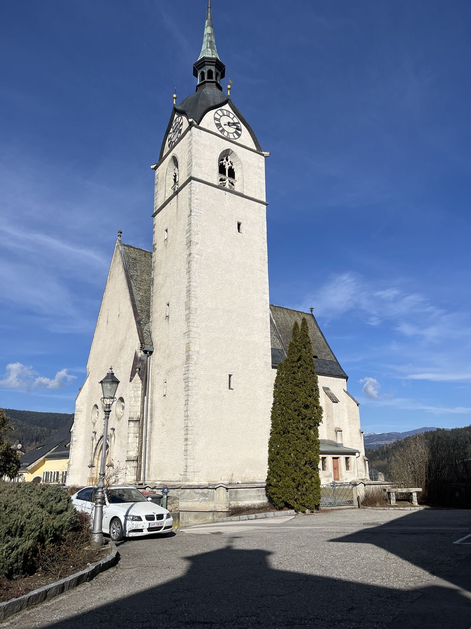
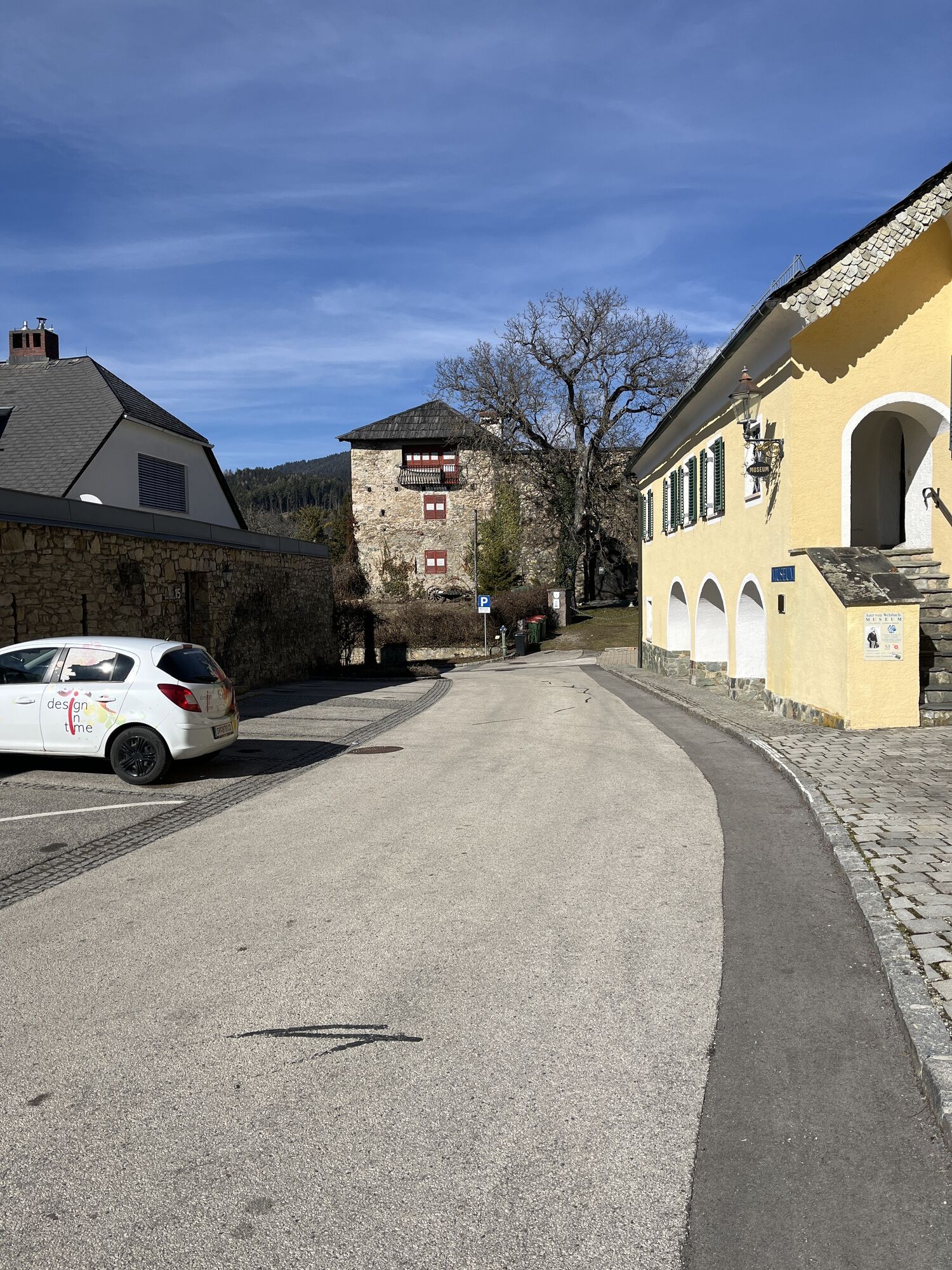
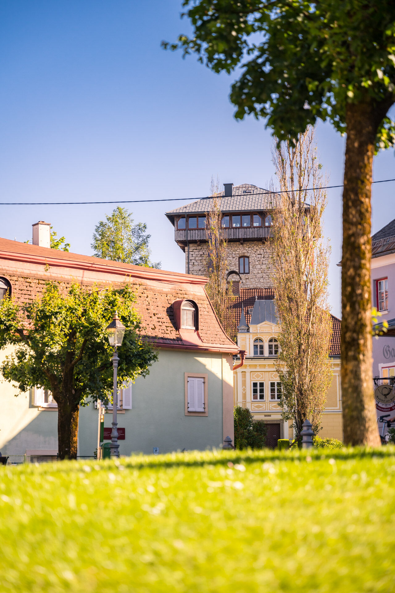
You start your hike in the historic old town of Althofen, which impresses with its well-preserved medieval buildings and narrow streets. Here you can admire the impressive city wall, old townhouses, and the parish church. From the old town, you head south and leave the town via a path that gently ascends.
2. Ascent to Muraniberg
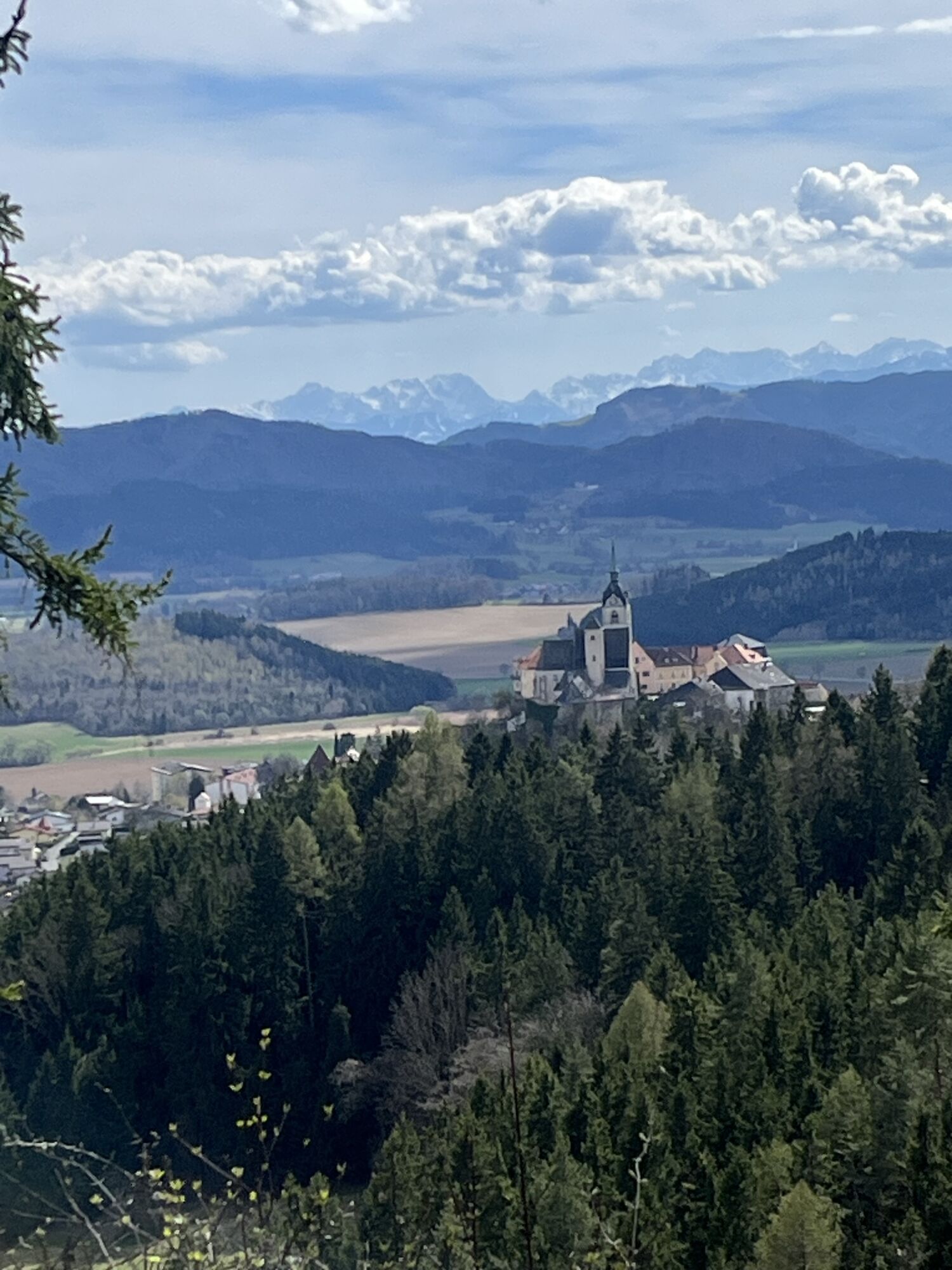
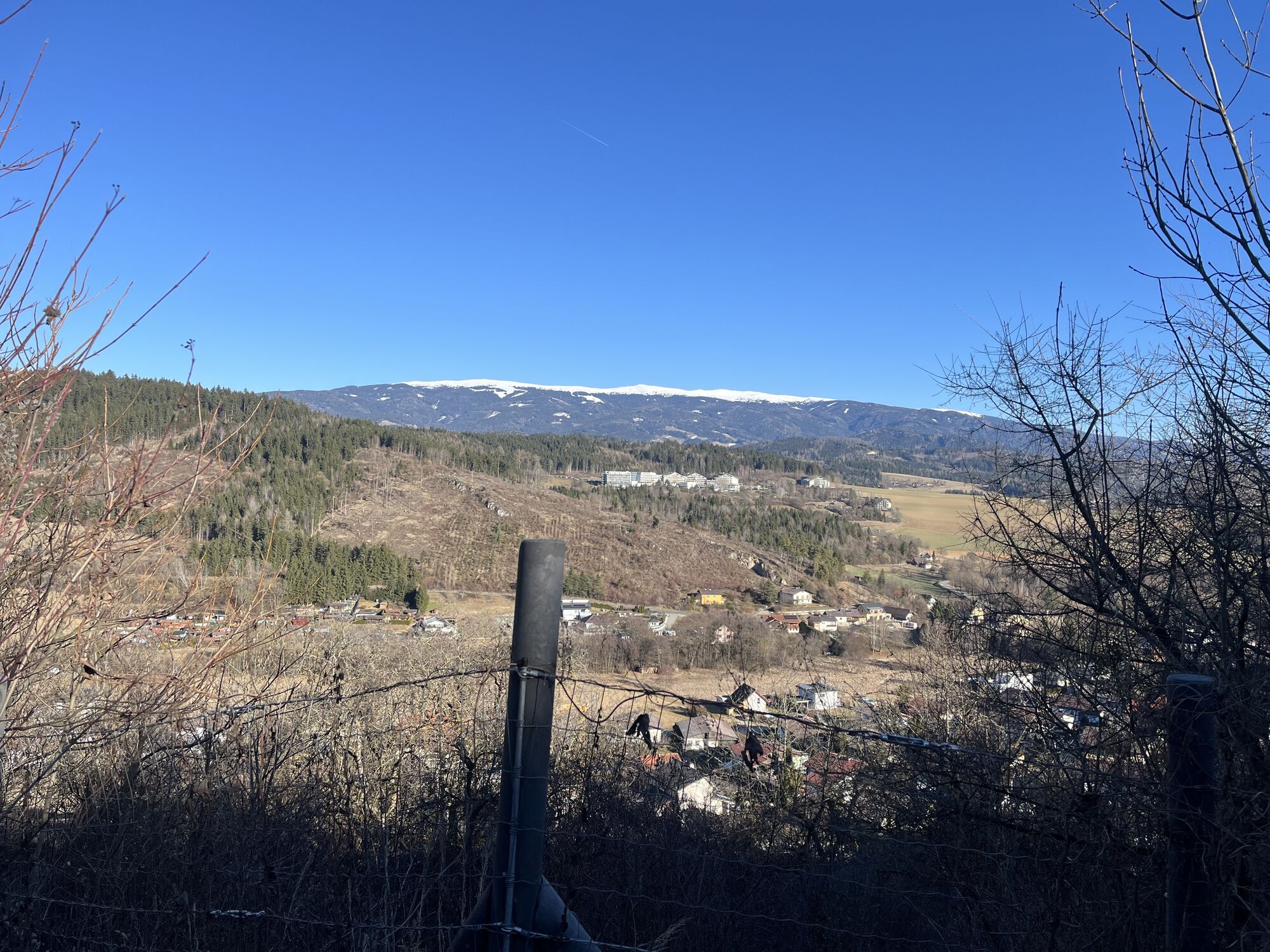
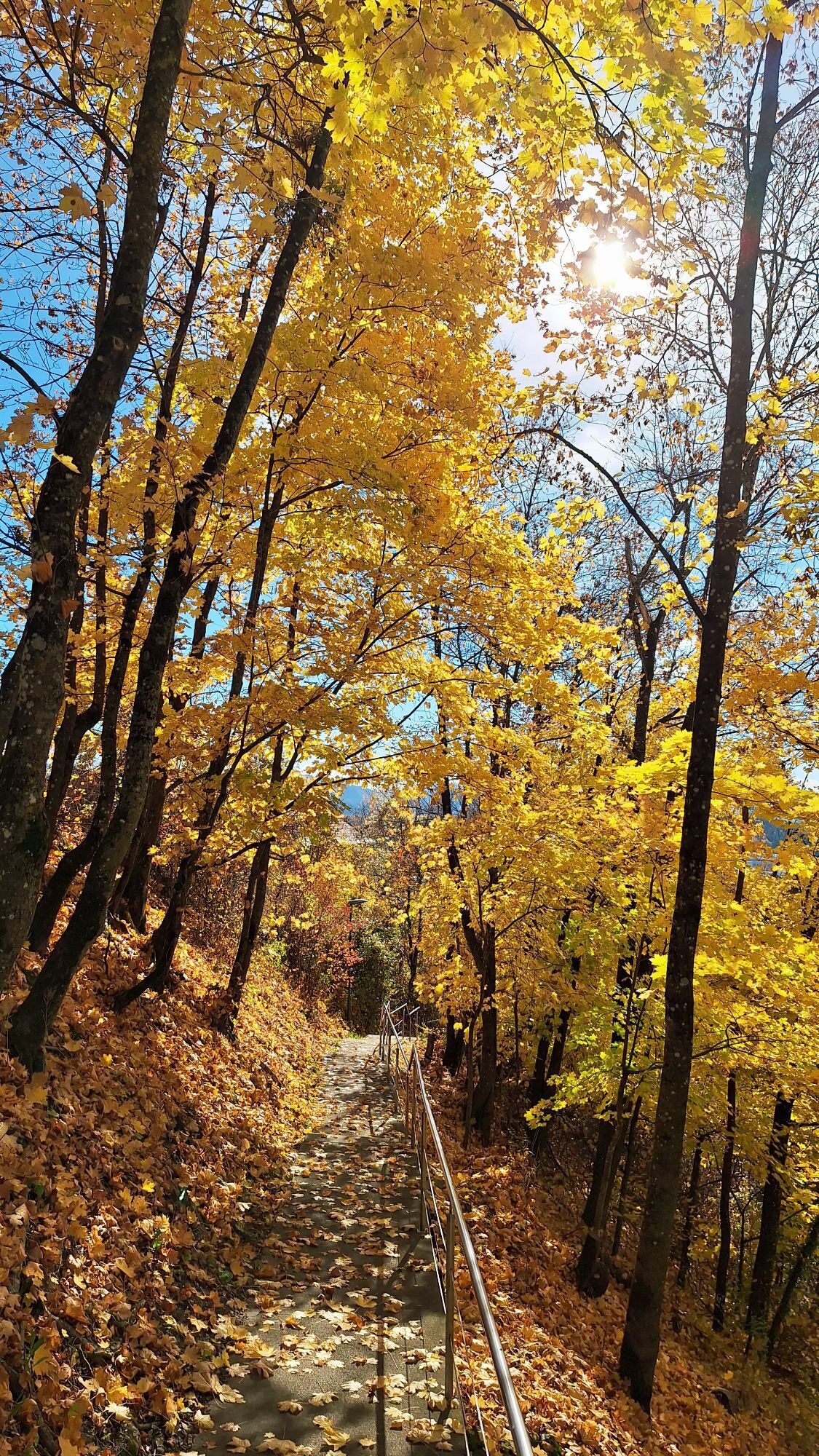
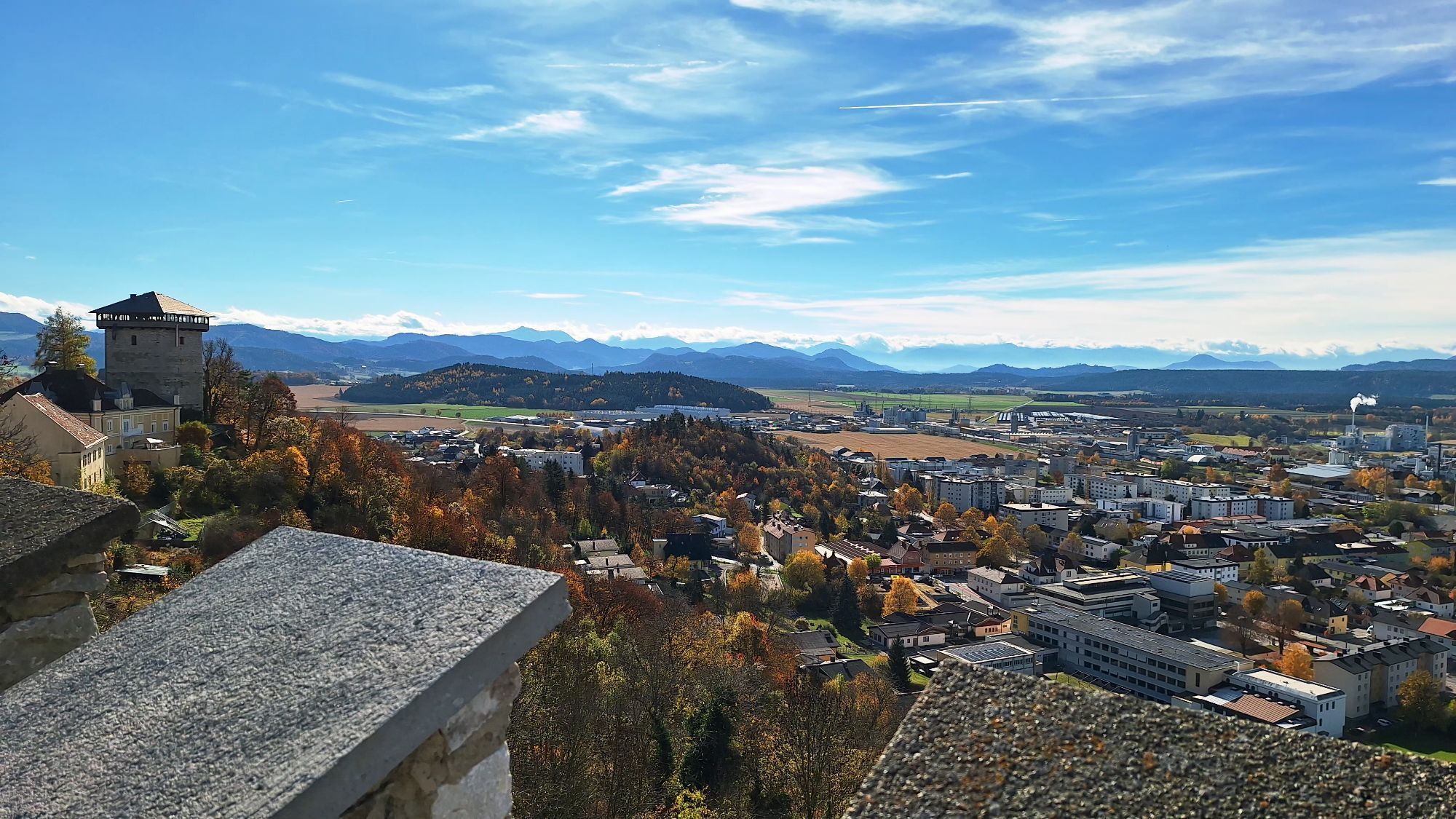
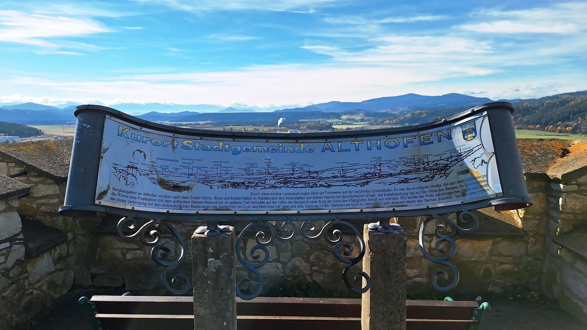
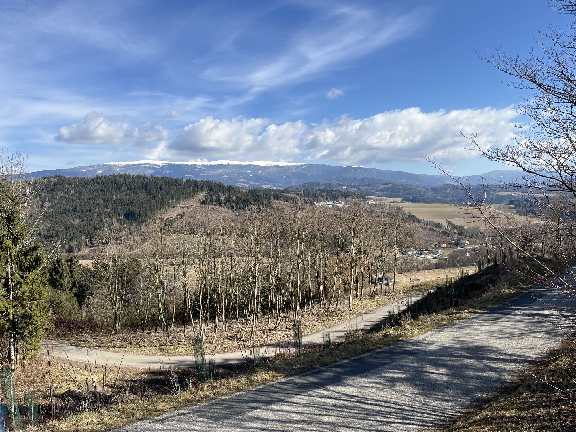
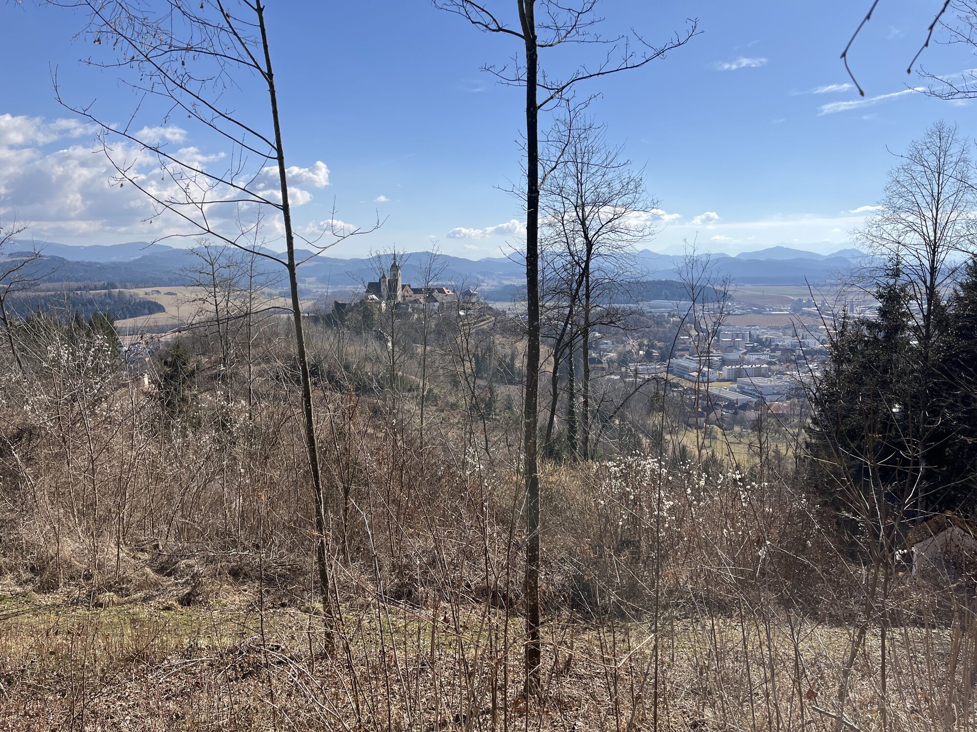
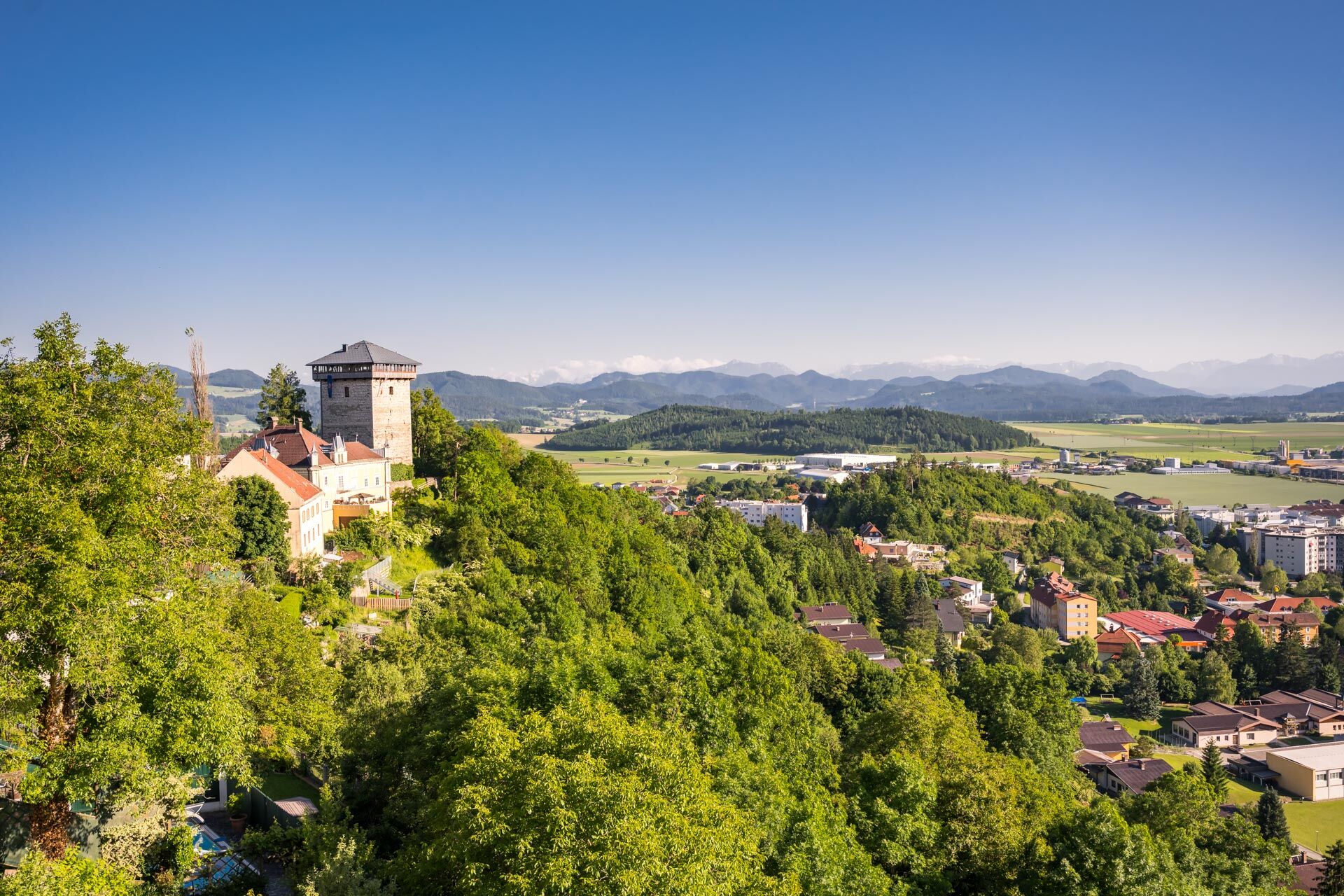
The path leads you towards Muraniberg. The ascent begins with a leisurely forest trail that takes you through a quiet and natural environment. Muraniberg is a popular spot for hikers and offers beautiful views of the surrounding hills and valleys. From the top, you have an impressive view of the Gurk Valley and the surrounding region.
3. Onward towards Töscheldorf Castle
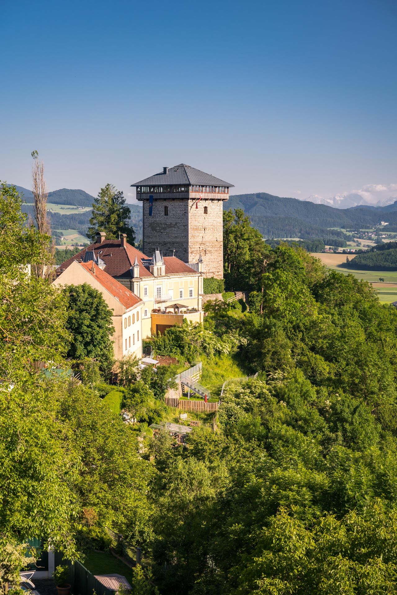
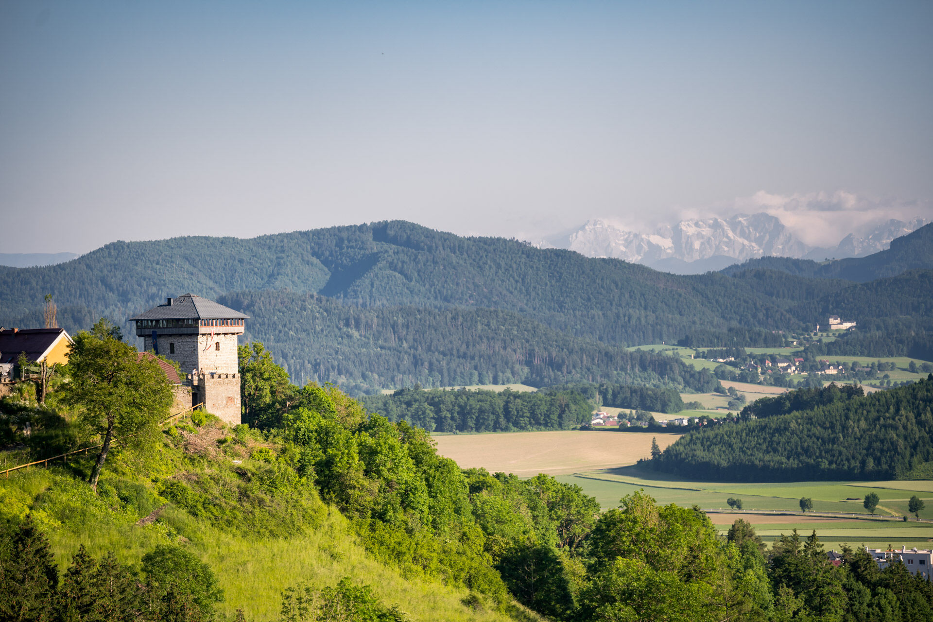
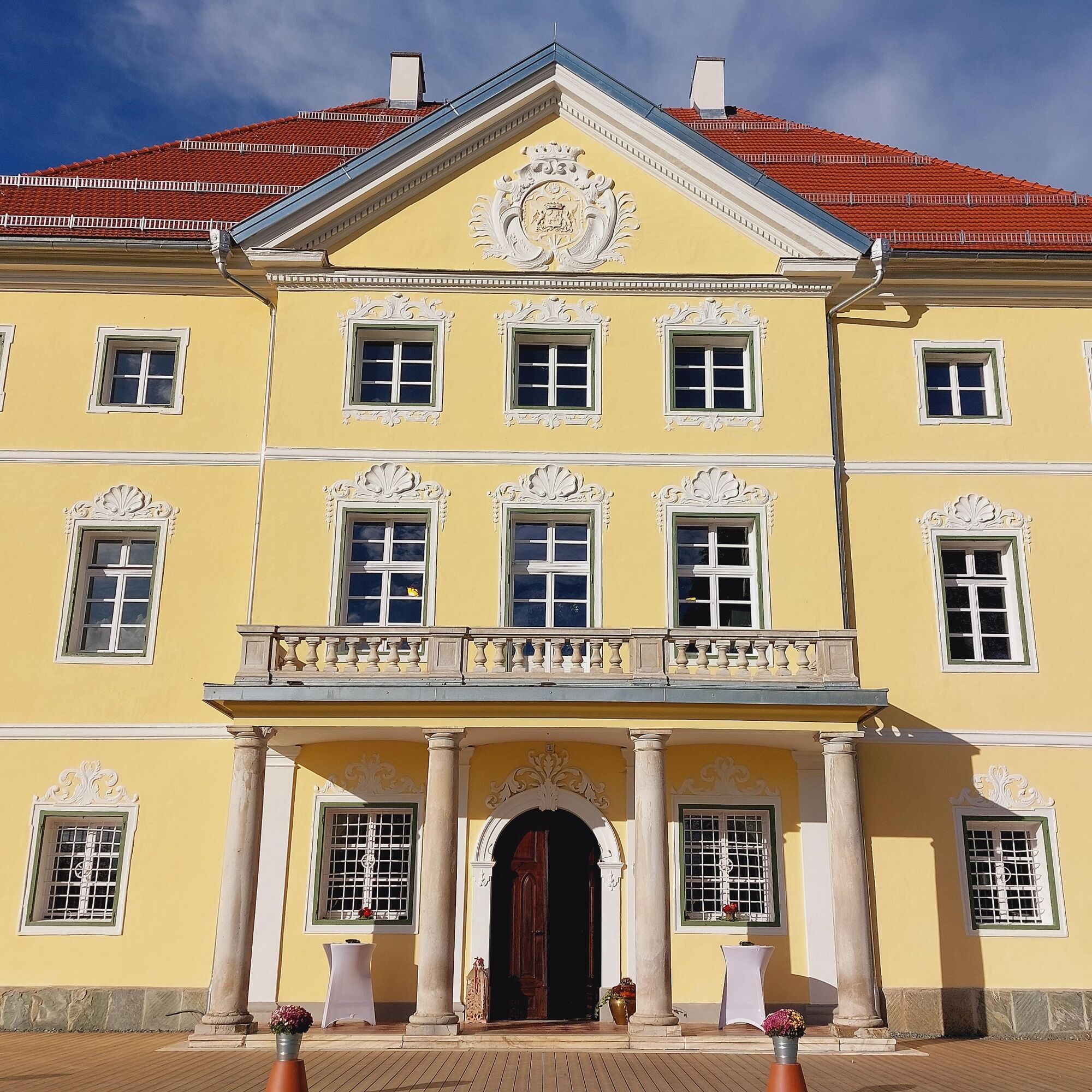
After you have climbed Muraniberg, continue your hike going downhill towards Töscheldorf Castle. The path now runs along open fields and meadows, with beautiful views of the castle along the way. Töscheldorf Castle is an impressive building with medieval roots and lies idyllically on a hill. It offers a great backdrop, and you can explore the grounds or take a rest nearby.
4. Return path via Friesach Street
After leaving the castle behind, follow Friesach Street, which gently loops back to Althofen. This street is bordered by wide fields and wooded areas and offers you a quiet return to town. The route is relatively flat and pleasant to walk, ideal for a relaxed end to the hike.
5. Return to the old town of Althofen
After a few kilometers, you return to the old town of Althofen. Here you can end your hike comfortably, perhaps with a coffee or a visit to one of the historic cafés. The route leads you back into the historically rich atmosphere of the town, where you can conclude the circuit.
hiking-appropriate clothing, charged cell phone, provisions, filled water bottle, hiking shoes;
inform someone where you are going and when you will be back
watch the weather forecast
Starting point of the route: roundabout in the Althofen city center
ÖBB route planner:
https://fahrplan.oebb.at/webapp/#!P|TP!H|992538
Parking is available in the Althofen city center
Alternatively, you can also park at the Althofen leisure center:
Address for navigation system: Silberegger Straße 15, 9330 Althofen
T1
Find more routes here:
https://regio.outdooractive.com/oar-mittelkaernten/de/
Visit the old town of Althofen
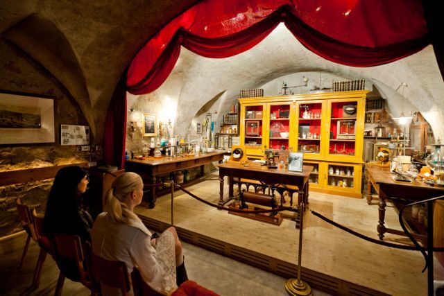
The Auer von Welsbach Museum
Leisure center Althofen
Prechtlhof
Bed and Breakfast Mittelkärnten
Uzyskaj wgląd
Zawsze na żywo z ponad 9 500 kamer internetowych. bergfex Jako użytkownik Pro, możesz teraz zobaczyć odpowiednie kamery internetowe dla wielu wycieczek w aplikacji wycieczki od. Pozwala to na bezpośredni podgląd aktualnych warunków.
Popularne wycieczki w okolicy
-
3,6
Kunstwanderweg rund um den Längsee (1)
światłoWędrówka 5,43 km -
4,3
Certified hiking trail: Guttaring - Mariahilferweg - permanent IVV hiking trail
średniWędrówka 11,2 km -
4,9
Steinerhütte-kl.+gr. Sauofen zum Gertrusk und zurück
światłoWędrówka 15,0 km -
5,0
Weißbergerhütte - Gertrusk - Ladingerspitz
średniWędrówka 8,95 km -
4,8
Winter sun on the Saualm
światłoRakieta do chodzenia po śniegu 4,70 km -
4,2
Saualpen ridge – Speikkogel, Großer and Kleiner Sauofen
średniWędrówka 10,8 km -
4,0
Schloss Frauenstein - Kraiger lake circular route
światłoWędrówka 6,96 km -
4,8
Lavanttal Höhenweg: Stage 6 from Klippitztörl to Wolfsberger Hütte
światłoWędrówka 13,4 km -
4,5
Castle Hiking Trail Friesach
światłoWędrówka 5,21 km -
4,1
Althofen Wald Ausichtsweg
światłoWędrówka 3,94 km
Wędrówki i tropienie


Nie przegap ofert i inspiracji na następne wakacje
Twój adres e-mail została dodana do listy mailingowej.





