


Bad St. Leonhard: L1 hike Wisperndorf
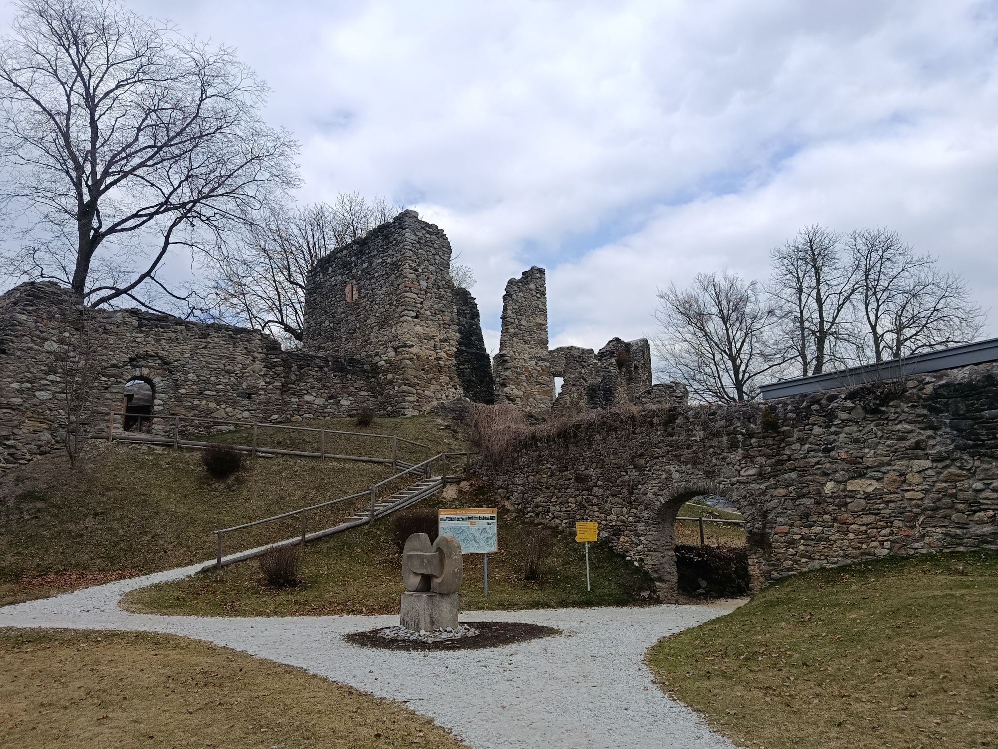
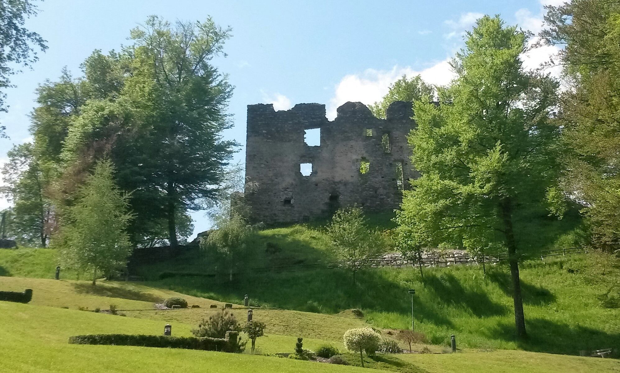
From Schlossberg, the hiking trail L1 leads through Kirchgasse to the main square. From the main square through Höllgasse and straight on to Bäckerweg. Passing the Girod nursery, you reach the kindergarten.
After...
From Schlossberg, the hiking trail L1 leads through Kirchgasse to the main square. From the main square through Höllgasse and straight on to Bäckerweg. Passing the Girod nursery, you reach the kindergarten.
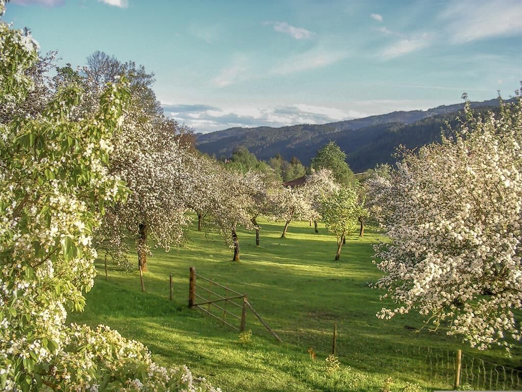
After the kindergarten, the newly designed hiking trail to Wisperndorf and Schloss Lichtengraben branches off to the left into Tuschenkogelstraße. Then it continues over a meadow path. Afterwards, the path has been restored again to exemplary condition.
At Ankner Cross, the path flows into Wisperndorferstraße, where on the opposite side of the street stands a linden tree planted on the occasion of Emperor Franz Josef’s 60th anniversary of reign. A commemorative plaque under the tree recalls this event.
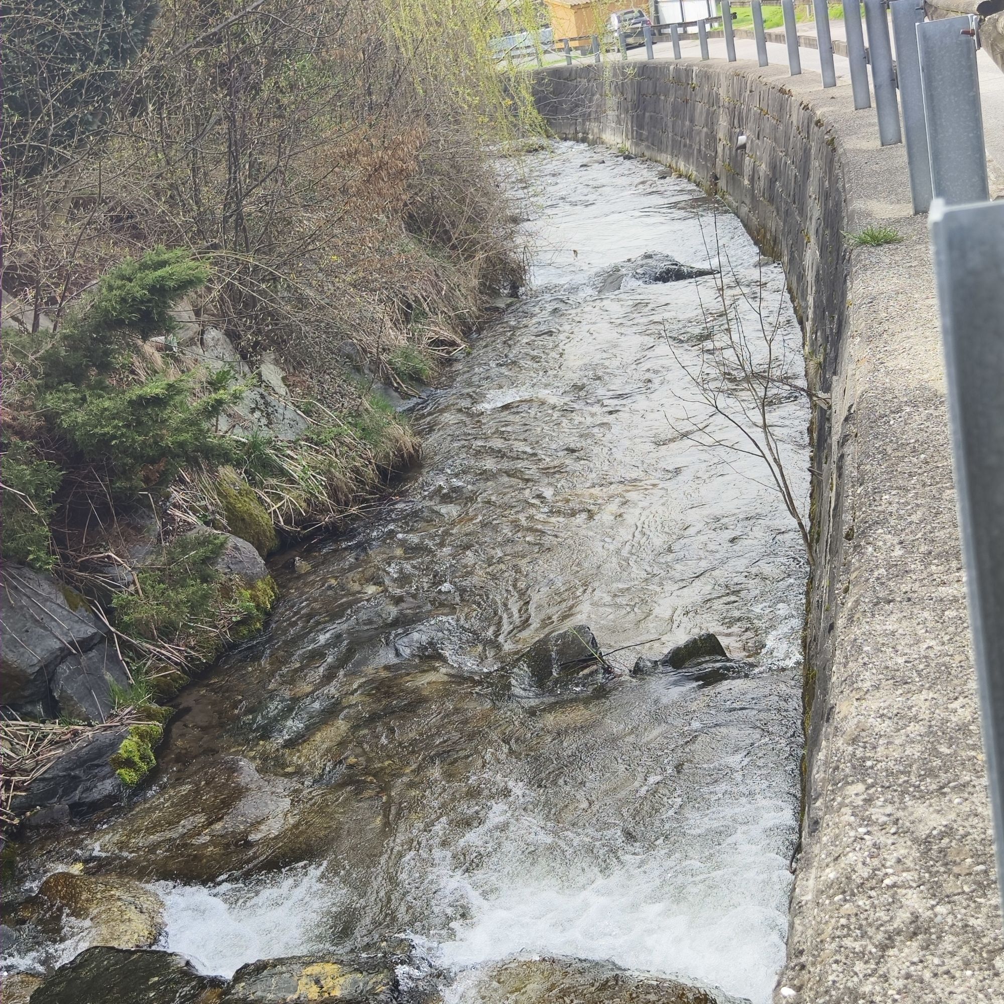
At the linden tree, turn left into Dorfweg and cross the bridge to the right towards Lichtengraben.
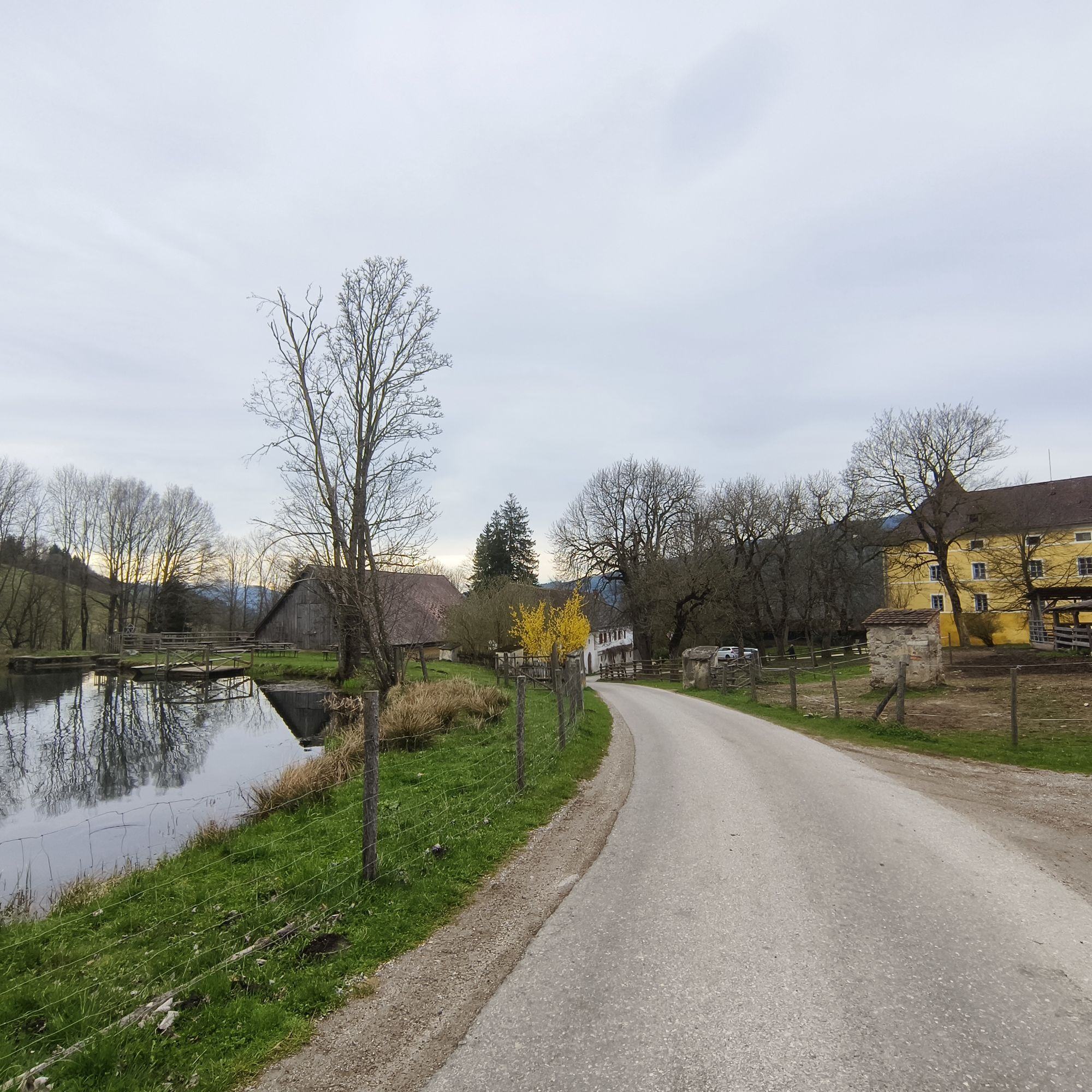
The pond in Wisperndorf was by far the only body of water that had higher temperatures in summer than the Lavant and was therefore gladly used for swimming, although one often encountered a grass snake while swimming.
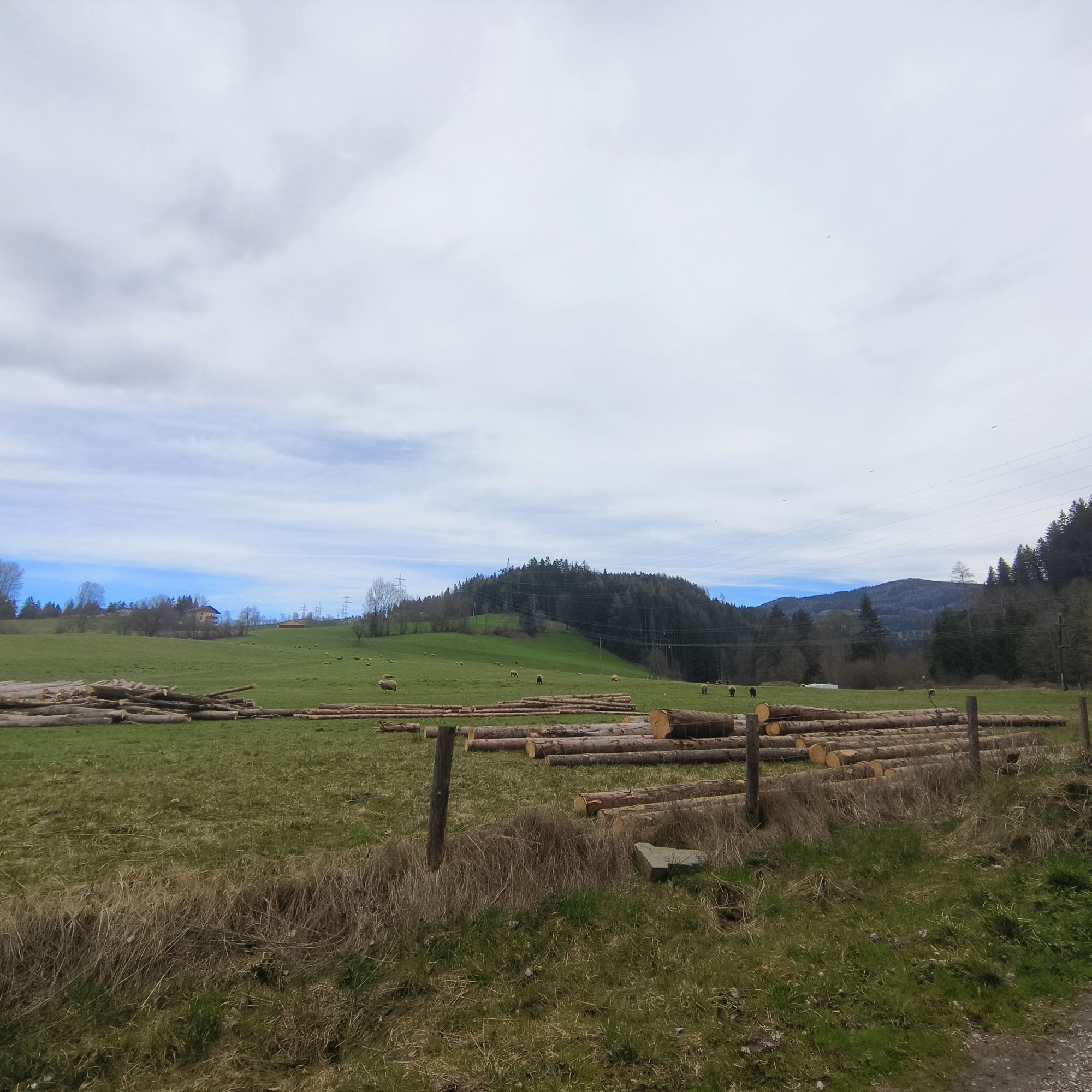
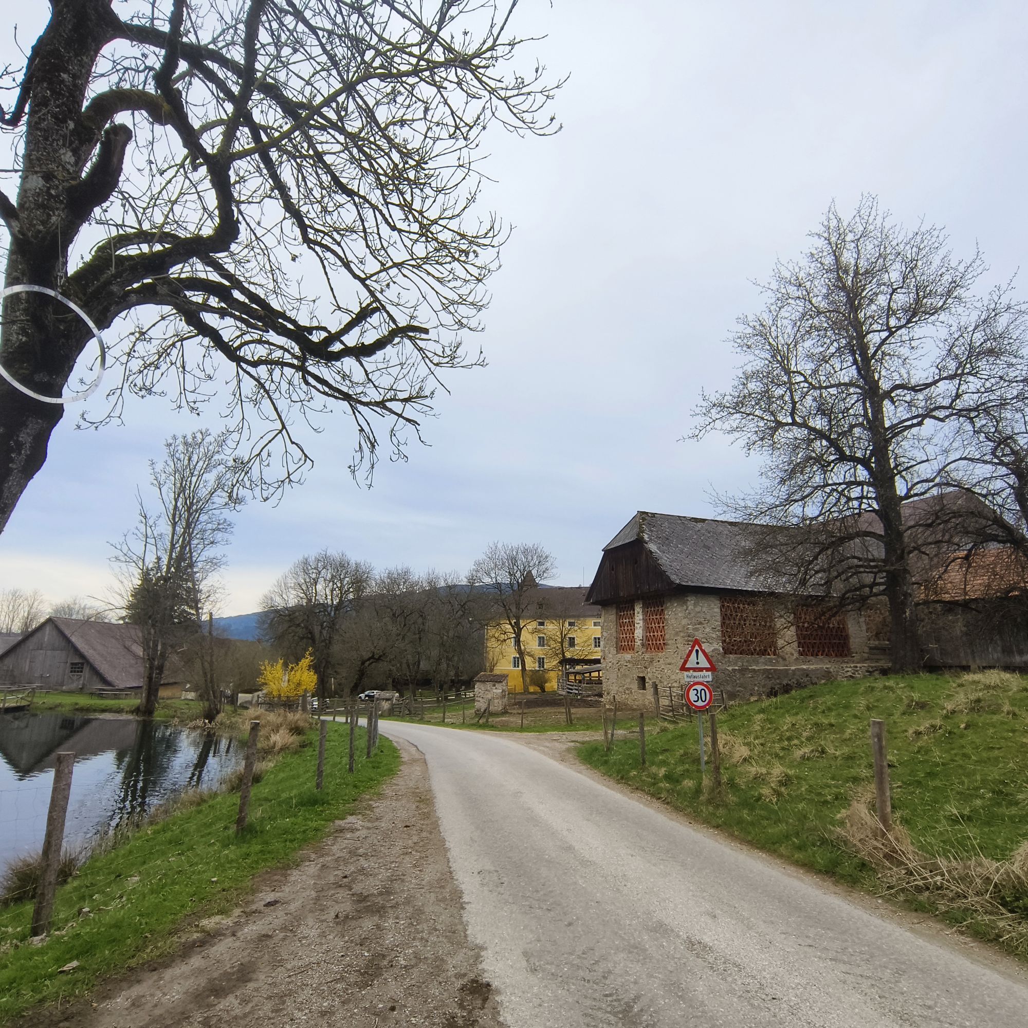
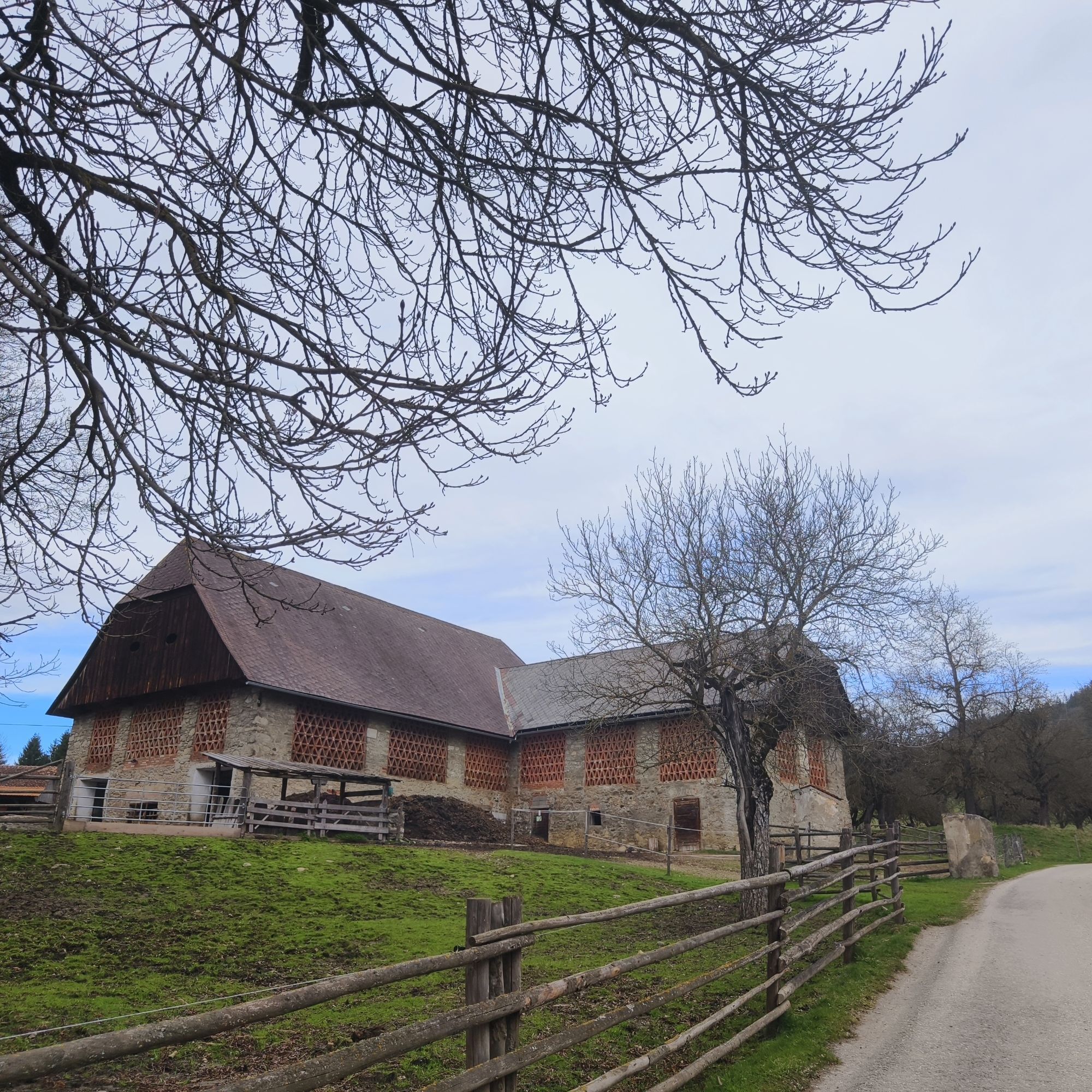
Along a meadow path, which is always well maintained thanks to the landowner Baumann, you finally reach the road to Schloss Lichtengraben.
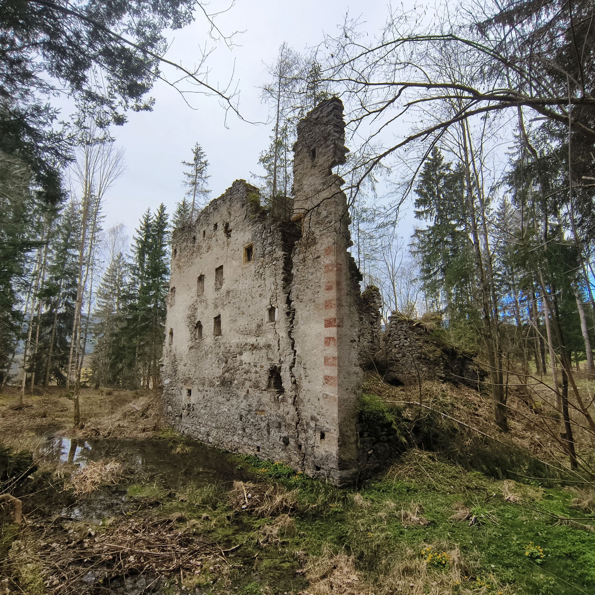
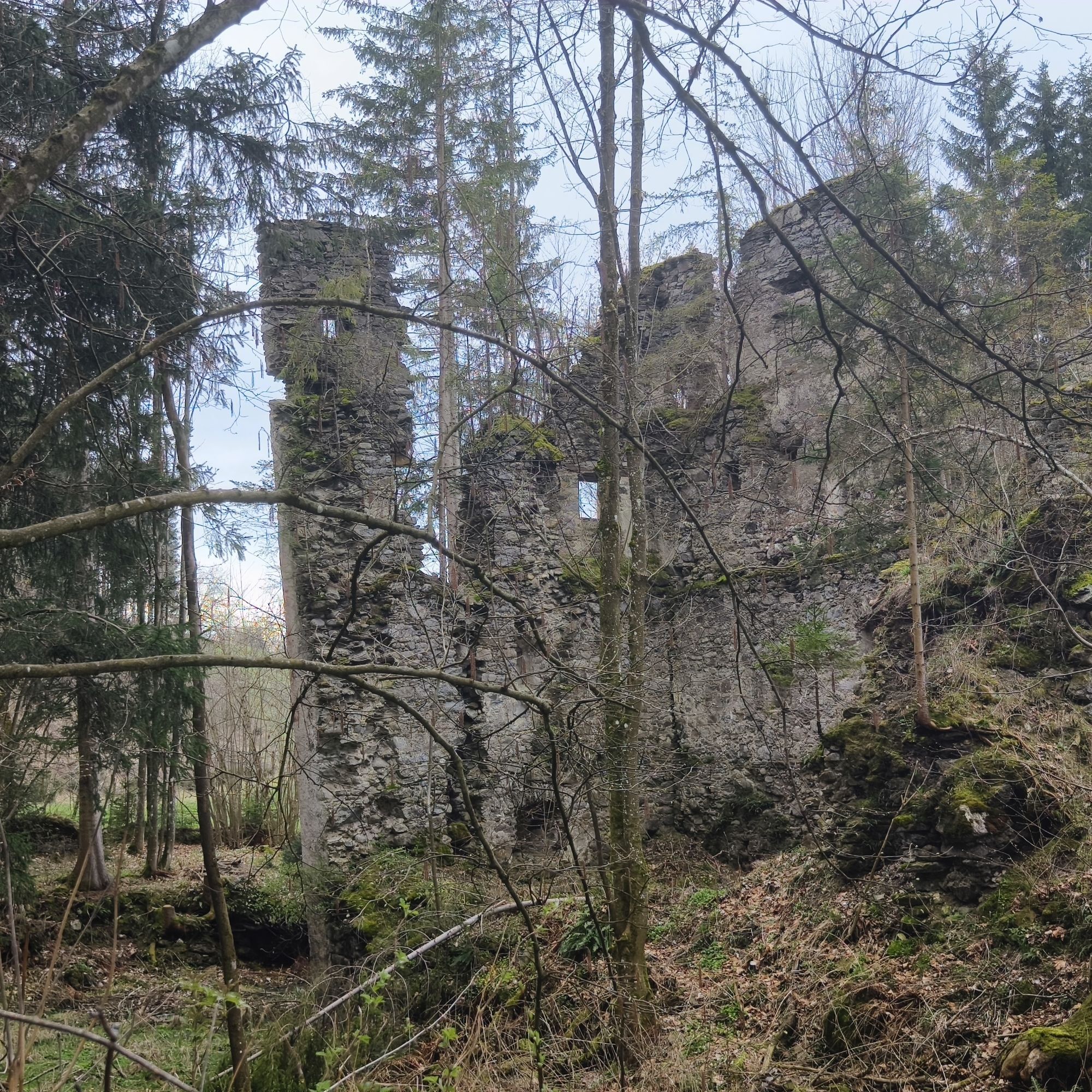
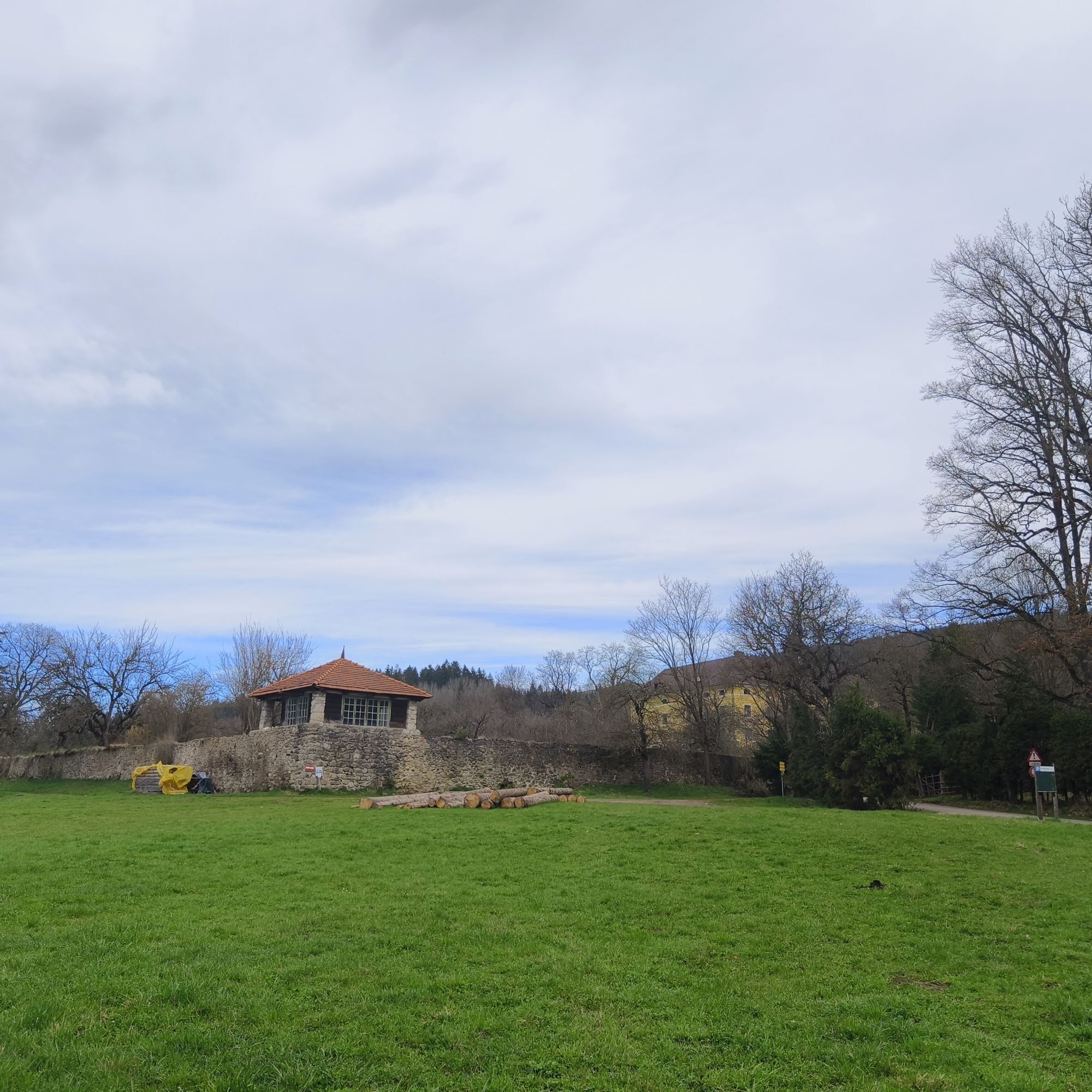
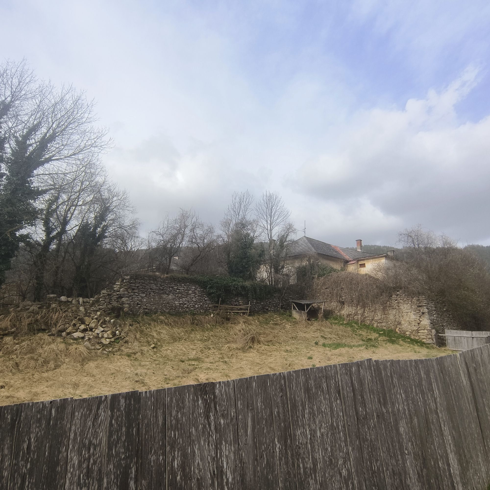
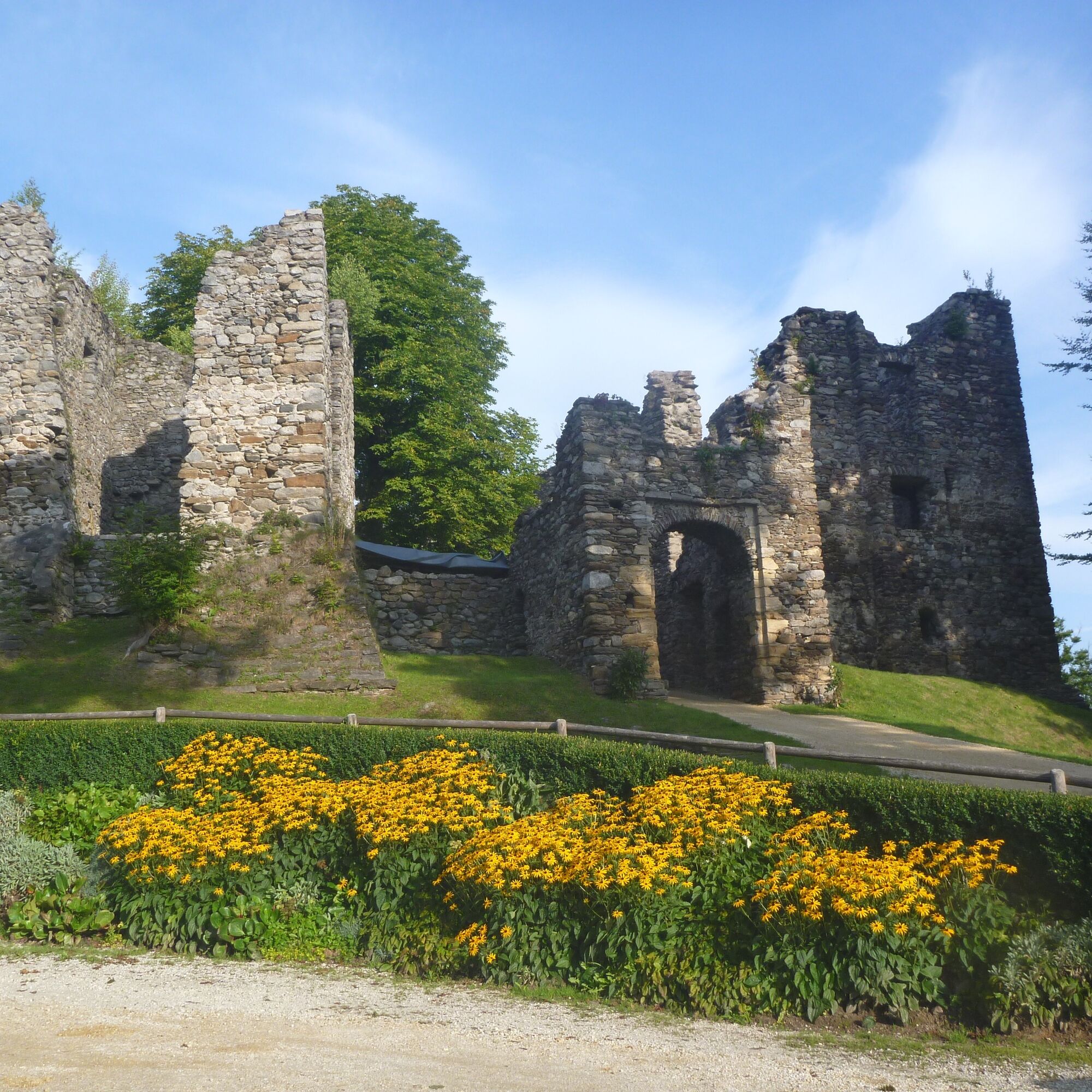
Here, you can already sense that you are approaching a castle.
Geese were formerly kept as watchdogs, making visitors aware with their quacking. At Gut Lichtengraben, however, visitors are always welcome.
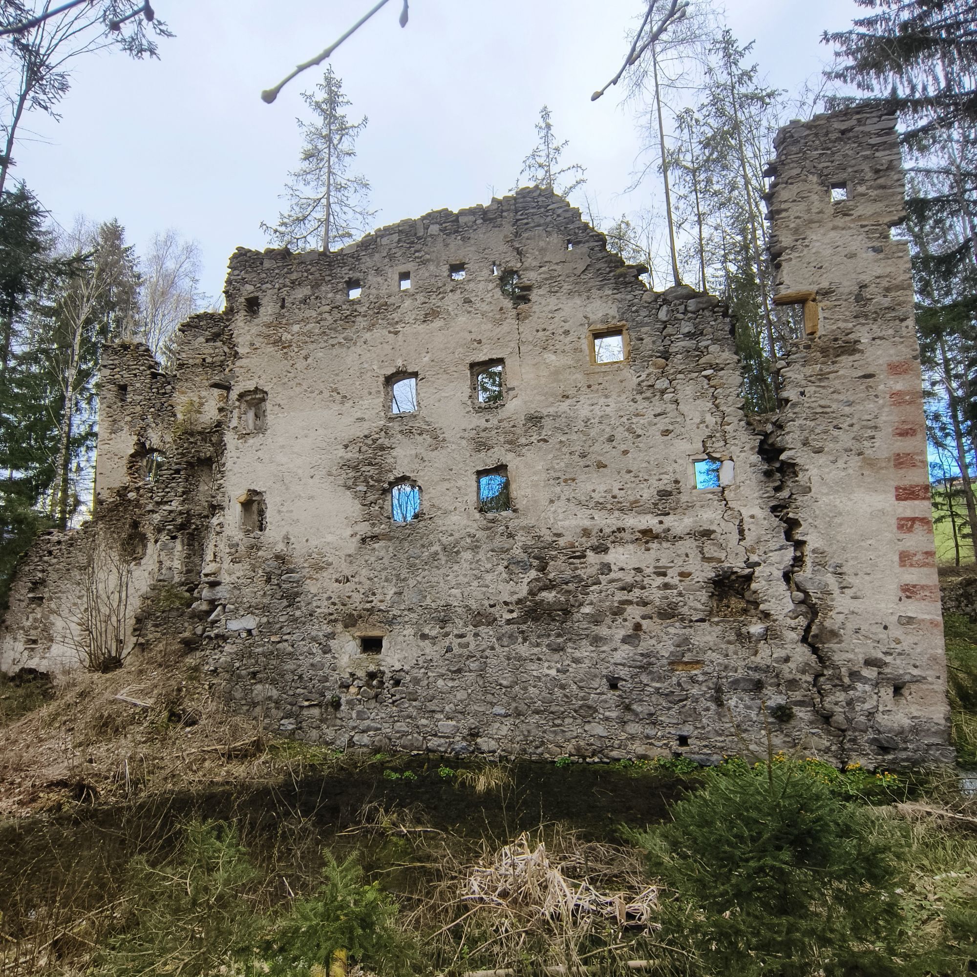
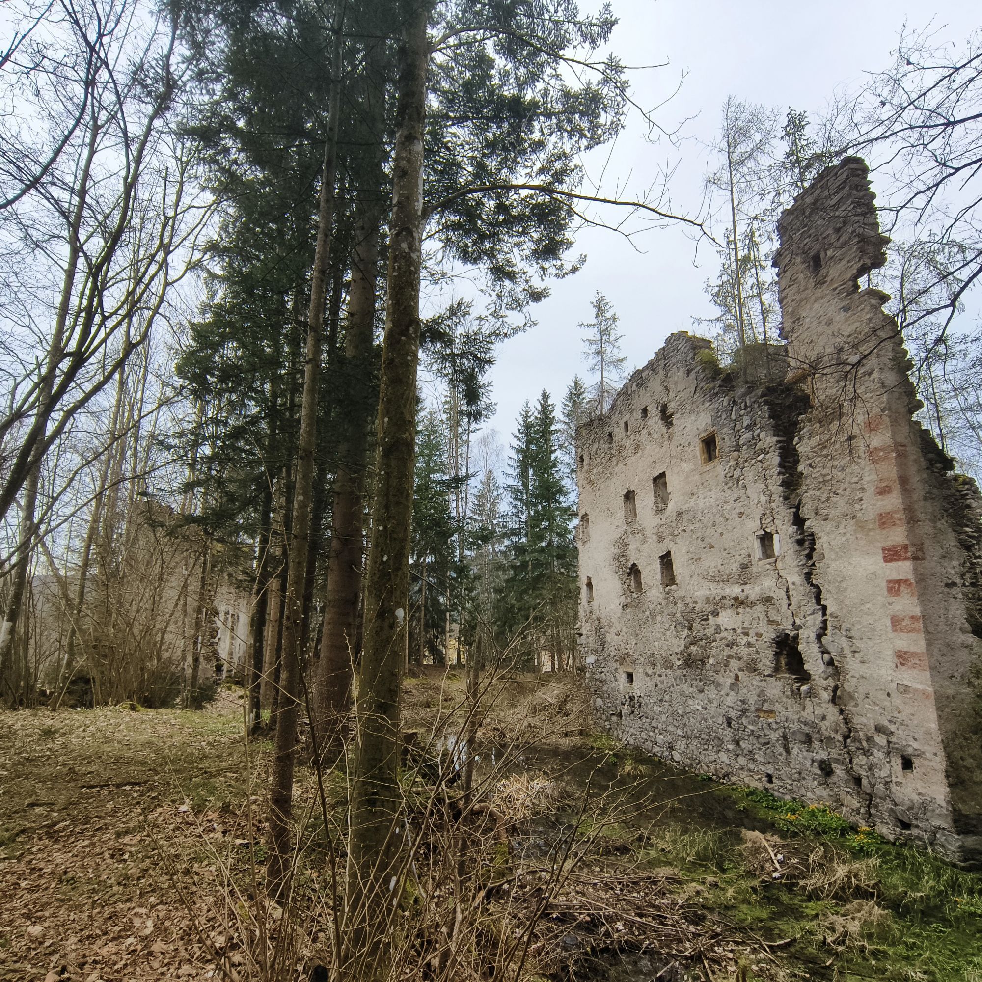
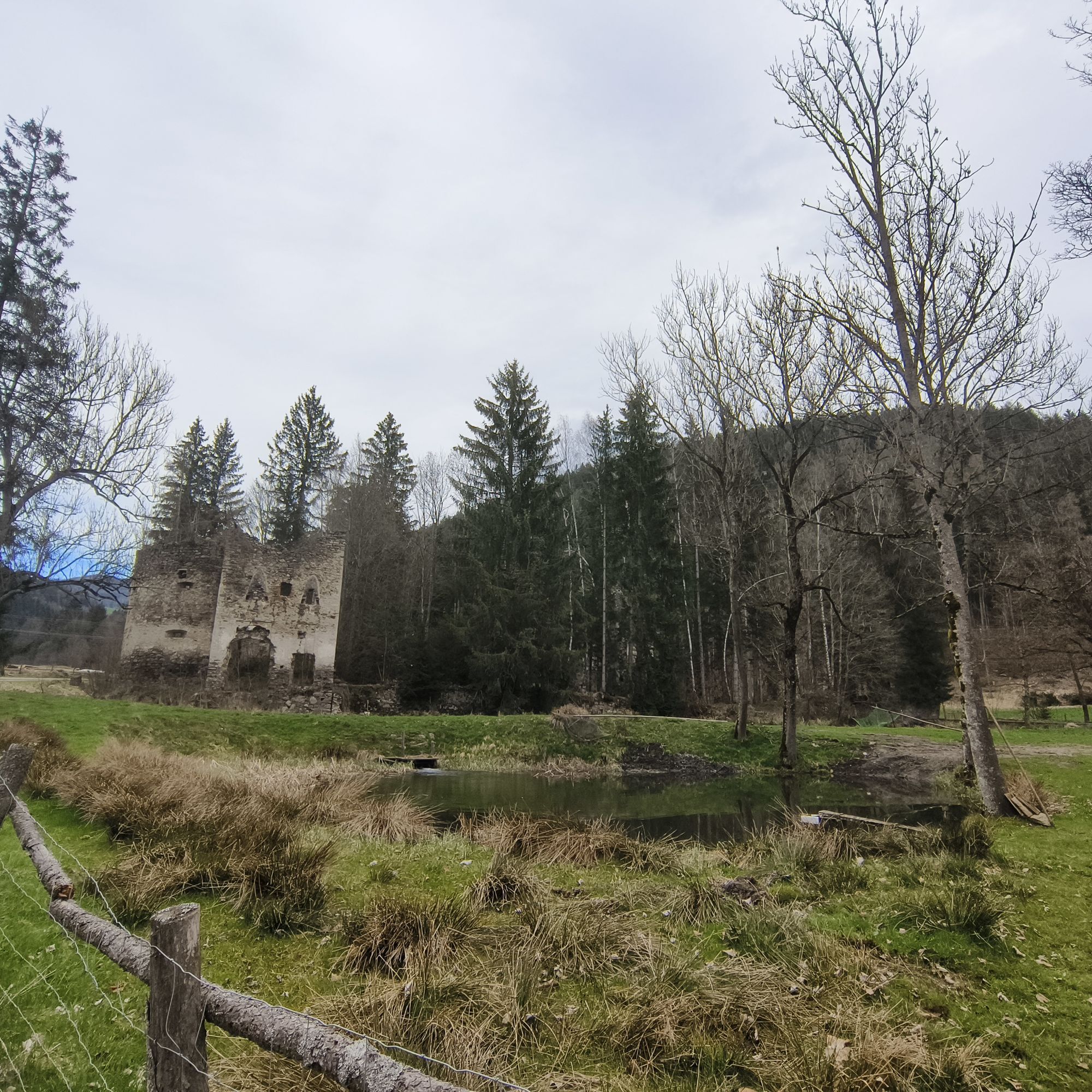
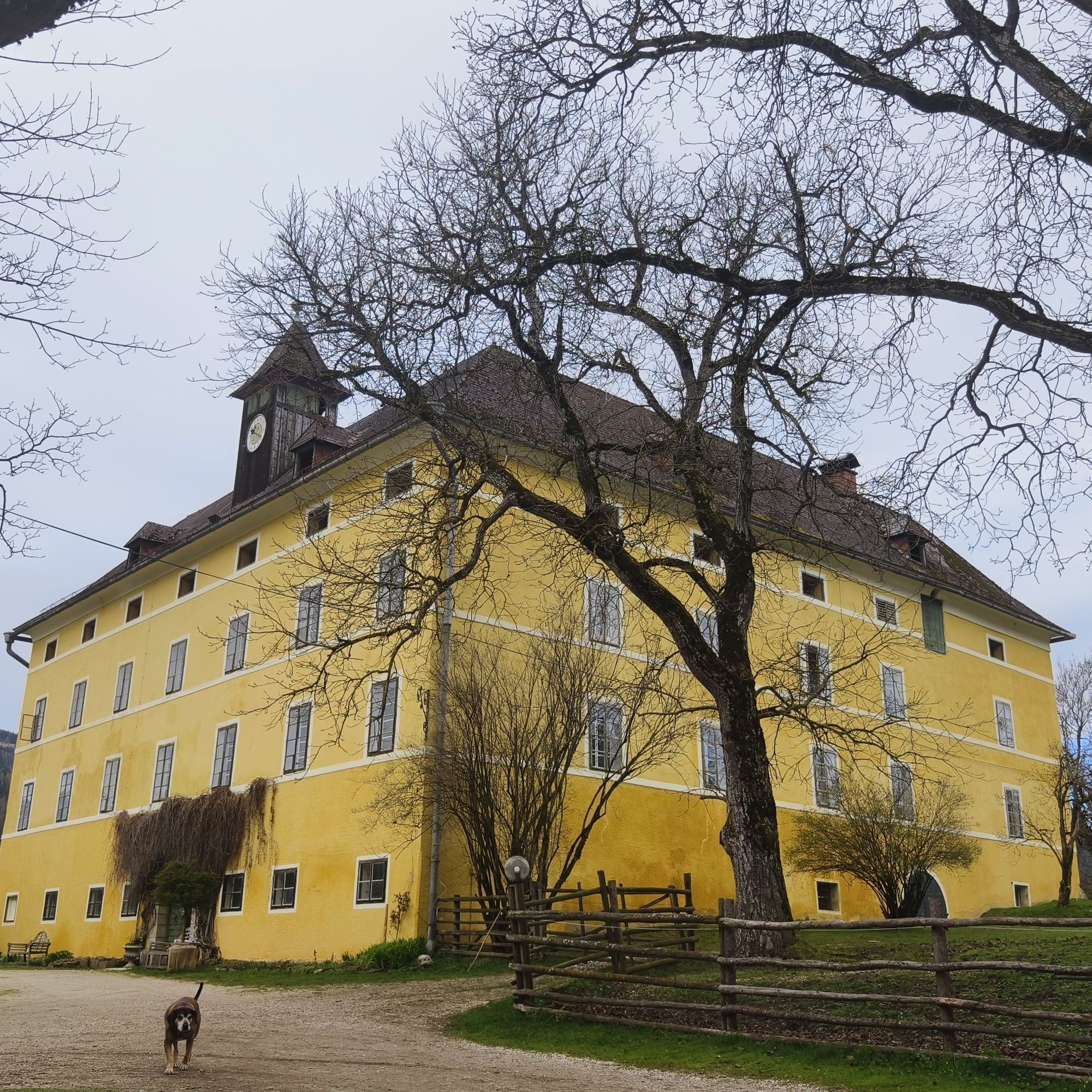
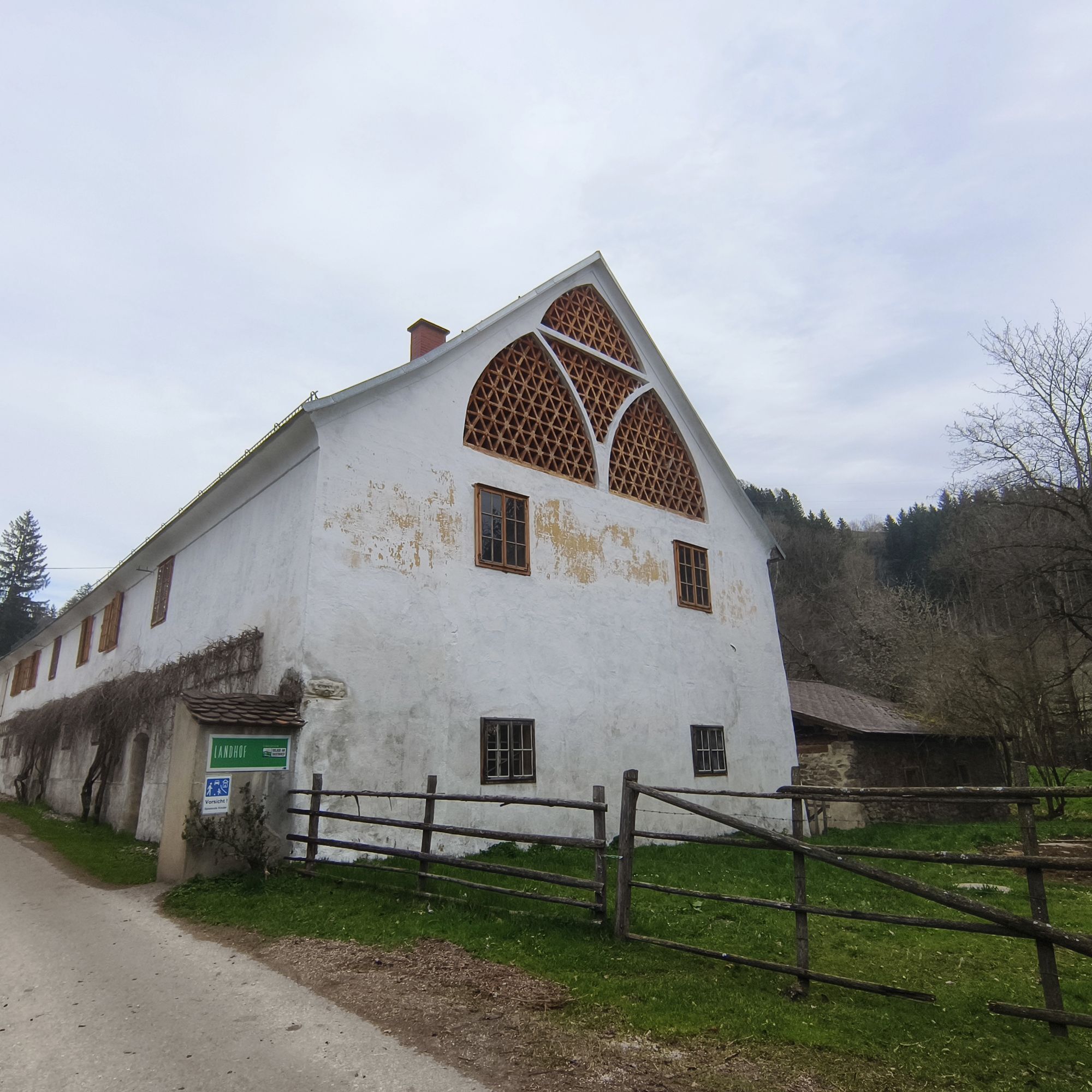
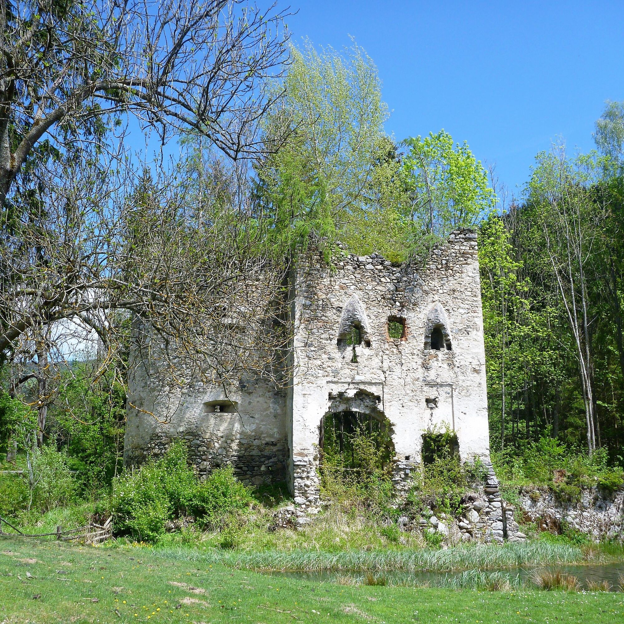
The hiking trail leads to a rewarding destination. If you are lucky and the landlord is nearby, he will gladly allow you to take a look into the small but fine Renaissance courtyard of the castle.
In the two large natural ponds by the castle, fishing can also be practiced; the equipment can be rented. Also offered are kitchen-ready trout or char, fillets, and freshly smoked whole fish. Enjoyed warm from the oven, this is a well-known specialty of the house.
Via the foot and bike path, the way leads back to Schlossberg.

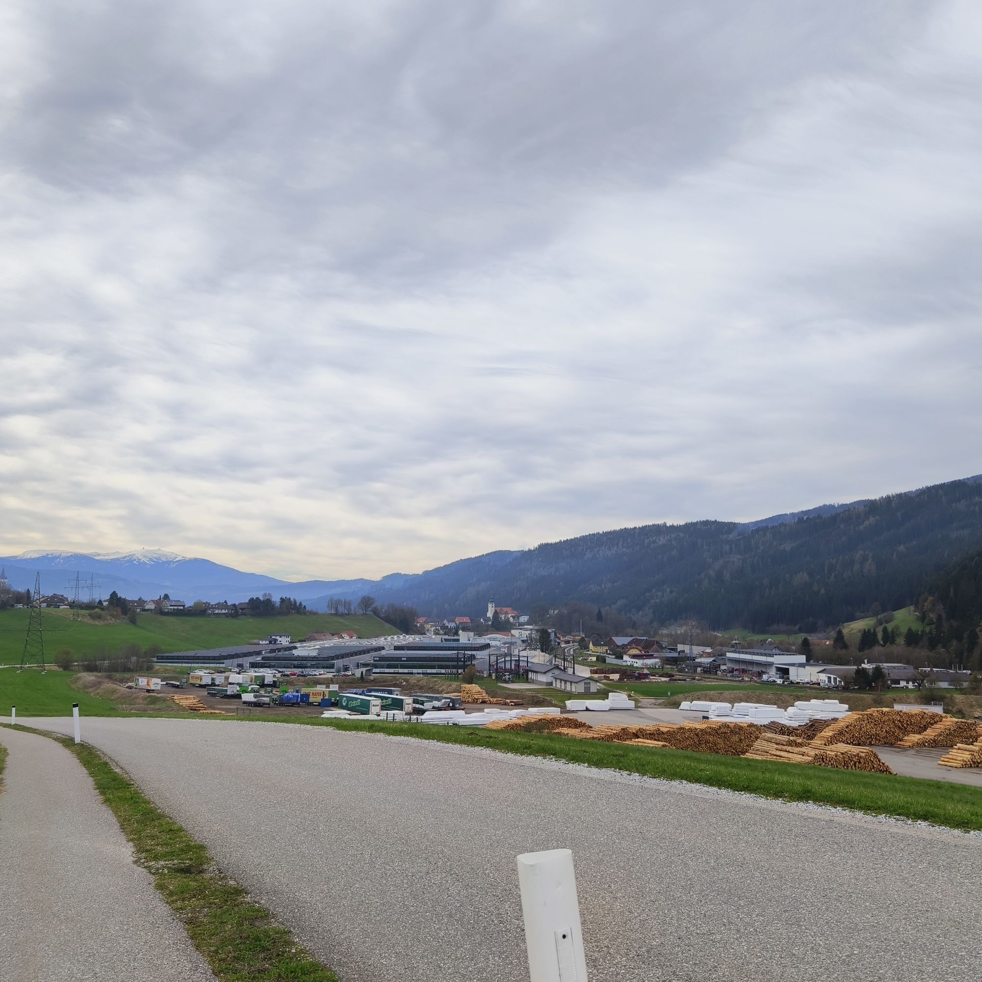
Starting point Schlossberg - Kindergarten - Tuschenkogel - Wisperndorf Pond - Schloss Lichtengraben - Wisperndorf - Stora Enso - Hofbauer Bridge - bike and footpath towards Schlossberg
Tak
For this route, good footwear and a small backpack with the essentials are sufficient.
Safe Hiking
10 recommendations from the Alpine Club
As a nature sport, mountain hiking offers great opportunities for health, community, and experience. The following recommendations from alpine clubs serve to make hikes as safe and enjoyable as possible.
1. Healthy hiking in the mountains
Mountain hiking is endurance sport. The positive strain on heart and circulation requires health and a realistic self-assessment. Avoid time pressure and choose a pace so nobody in the group runs out of breath.
2. Careful planning
Hiking maps, guide literature, internet, and experts provide information on length, elevation difference, difficulty, and current conditions. Always tailor tours to the group!
Pay special attention to the weather report as rain, wind, and cold increase the risk of accidents.
3. Complete equipment
Adjust your equipment to your undertaking and keep your backpack weight low. Rain, cold, and sun protection should always be in the backpack, as well as first aid kit and mobile phone (European emergency number 112). Map or GPS support orientation.
4. Proper footwear
Good hiking shoes protect and relieve the foot and improve surefootedness! When choosing, pay attention to perfect fit, slip-resistant sole, waterproofness, and light weight.
5. Surefootedness is key
Falls due to slipping or tripping are the most frequent cause of accidents! Note that too high speed or fatigue greatly impair your surefootedness and concentration. Beware of rockfall: Careful walking avoids dislodging stones.
6. Stay on marked paths
In pathless terrain, the risk of disorientation, falls, and rockfall increases. Avoid shortcuts and return to the last known point if you stray off the path. Steep old snowfields are often underestimated and very dangerous!
7. Regular breaks
Timely rest serves recovery, enjoying the landscape, and socializing. Eating and drinking are necessary to maintain performance and concentration. Isotonic drinks are ideal thirst quenchers. Muesli bars, dried fruit, and biscuits satisfy hunger on the way.
8. Responsibility for children
Note that variety and playful discovery are paramount for children! In passages with risk of falls, one adult can only supervise one child. Very exposed tours requiring long-lasting concentration are not suitable for children.
9. Small groups
Small groups guarantee flexibility and allow mutual help. Inform trusted persons about destination, route, and return. Stay together in the group. Beware of solo hikers: even small incidents can lead to serious emergencies.
10. Respect for nature and environment
To protect mountain nature: Leave no waste, avoid noise, stay on paths, do not disturb wild and pasture animals, leave plants untouched, and respect protected areas. Use public transport or form car pools for travel.
(Source: Austrian Alpine Club, 2014)
A2 South Motorway, exit Bad St. Leonhard - turn right at the junction onto Obdacher Landesstraße (signpost Bad St. Leonhard, approx. 4 km)
In the town of Bad St. Leonhard.
www.region-lavanttal.at
www.bad-st-leonhard-i-lav.at
Visit the Leonhardikirche from which the town also takes its name. Historically documented is the foundation of a church or chapel by Bishop Otto von Bamberg between 1106 and 1139. This original church was built in Romanesque style, of which today only the sacristy and the charnel house remain. The current Gothic Leonhardikirche dates from the 14th and 15th centuries. It is a three-aisled basilica.
Aktywności na trasie


Popularne wycieczki w okolicy
- 4,4
Klippitztörl - Geierkogel loop trail no. G
średniWędrówka 6,79 km - 4,7
Altes Almhaus -Rappoldkogel
średniWędrówka 11,7 km - 4,7
Rappoldkogel vom Salzstieglhaus
średniWędrówka 2,33 km - 4,6
Salzstieglhaus - Speikkogel - Peterer Riegel
średniWędrówka 11,2 km - 4,5
Bad St. Leonhard: L5 hike Kliening - Sauerbrun
średniWędrówka 9,49 km - 4,5
Vom Salzstiegl auf den Ameringkogel
średniWędrówka 14,2 km - 4,1
Vom Klippitztörl auf die Forstalm mit Geierkogel und Steinerner Hochzeit.
średniWędrówka 10,5 km - 4,2
5-Almhüttenwanderung
światłoWędrówka 14,3 km - 4,2
3-Almhüttenwanderung
światłoWędrówka 8,31 km - 3,7
Rappoldkogel-Runde vom Alten Almhaus
średniWędrówka 12,1 km

Wędrówki i tropienie


Nie przegap ofert i inspiracji na następne wakacje
Twój adres e-mail została dodana do listy mailingowej.