


Over Muraunberg to Hörzendorfer See
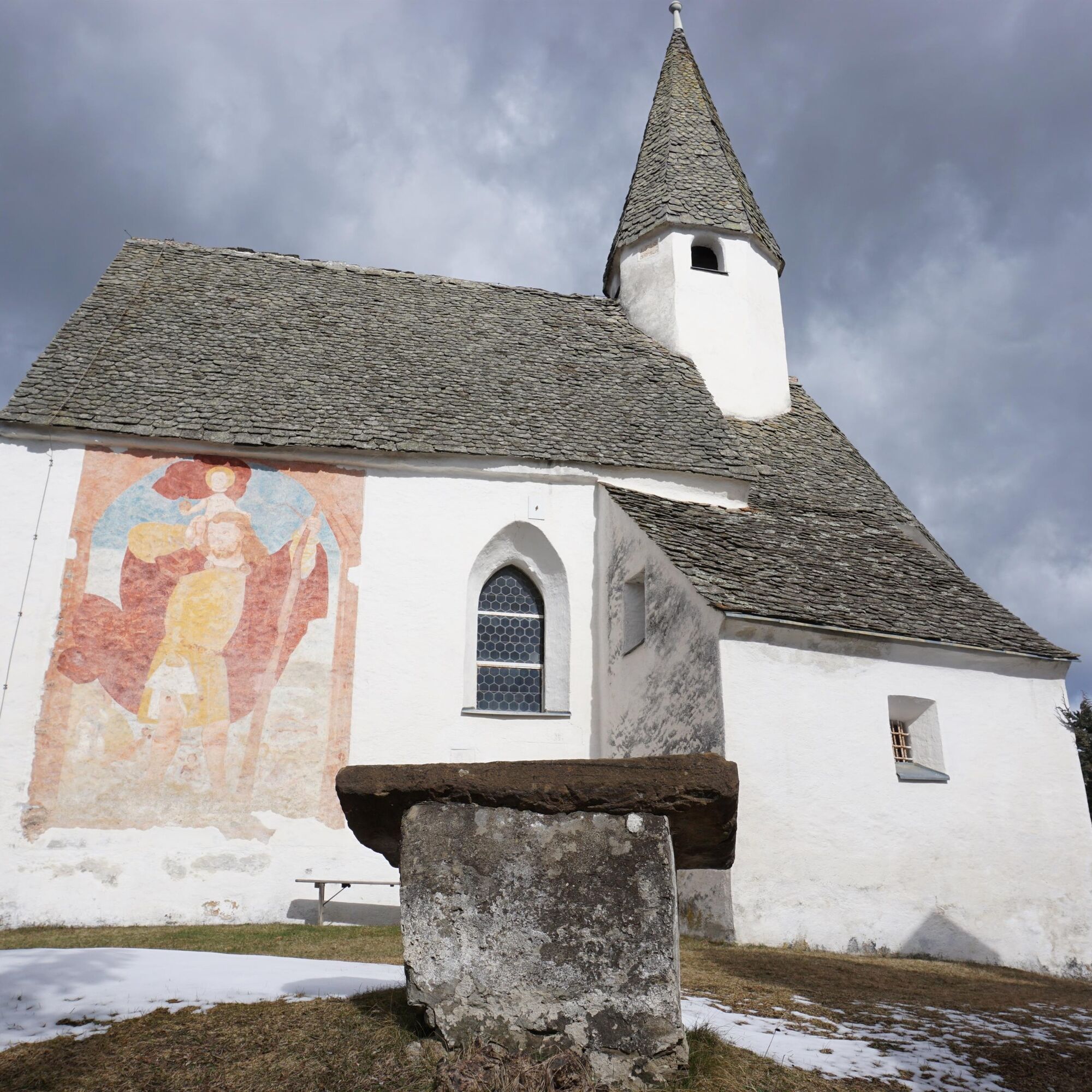
This easy hike leads you from Muraunberg to Hörzendorfer See. The hike begins at the small Chapel of the Black Madonna. It was founded in the 19th century and is publicly accessible. It is said to have...
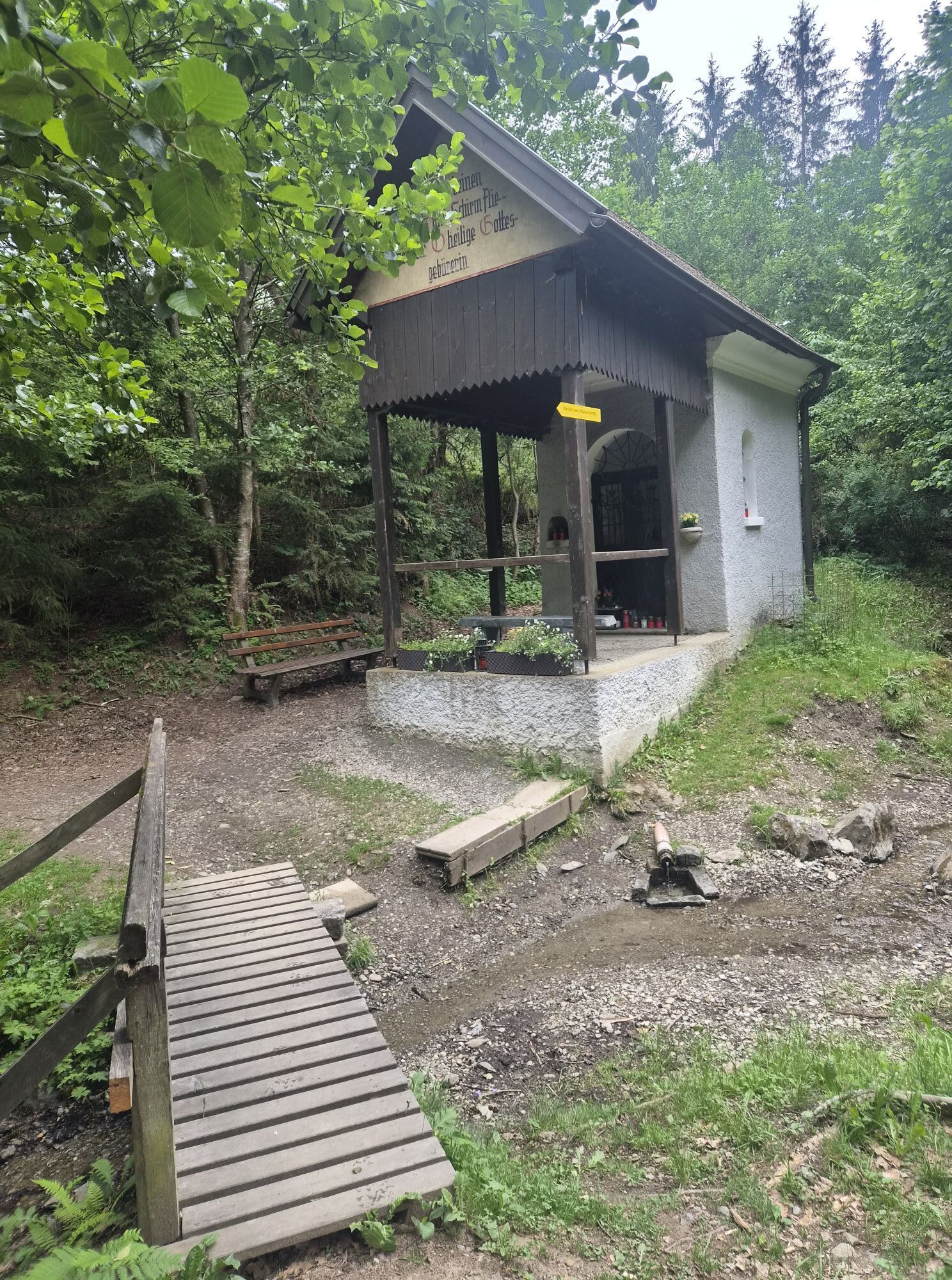
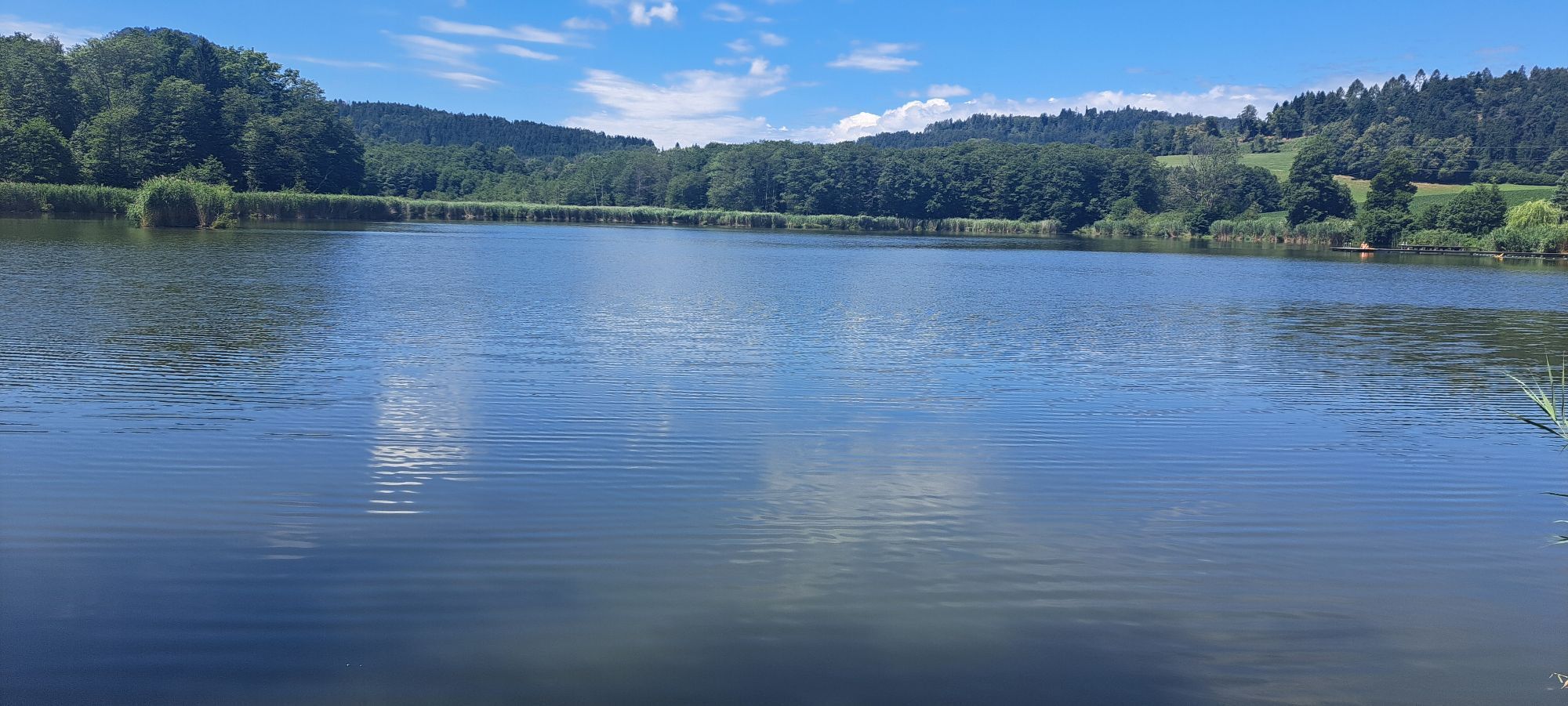
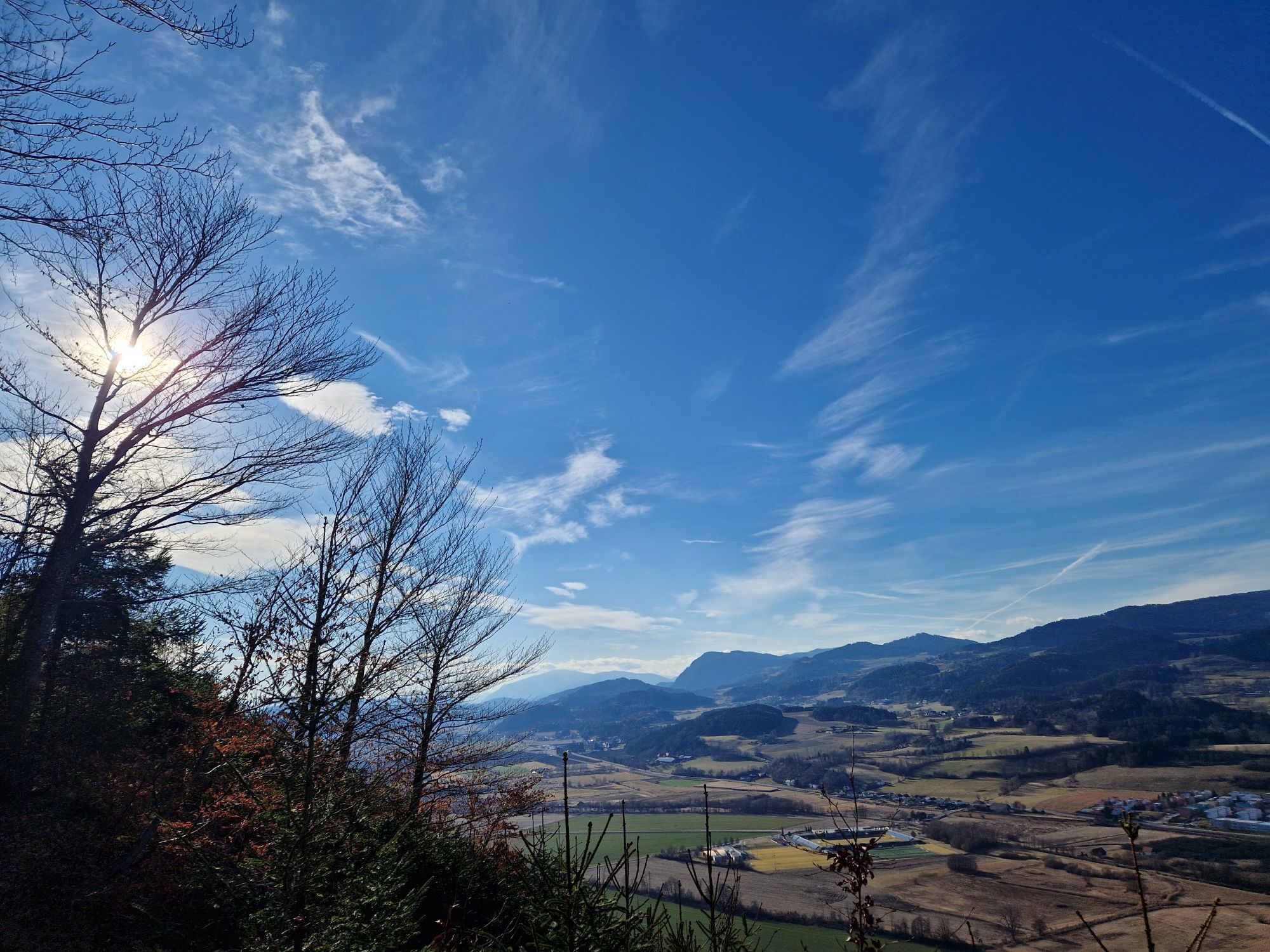
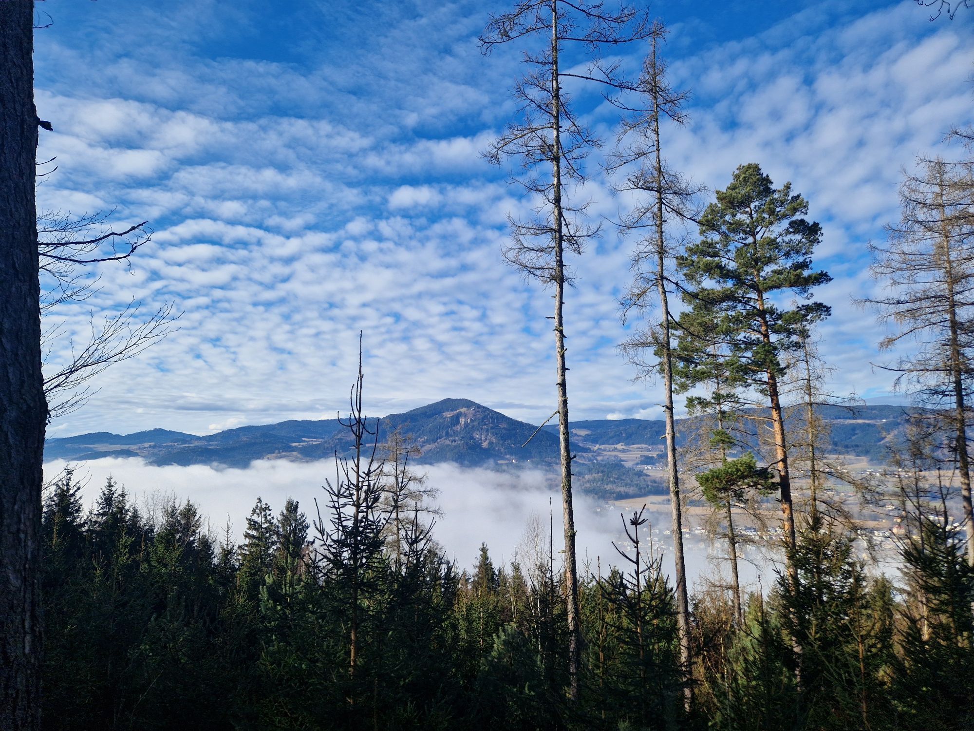
This easy hike leads you from Muraunberg to Hörzendorfer See. The hike begins at the small Chapel of the Black Madonna. It was founded in the 19th century and is publicly accessible. It is said to have been built on three springs, which today are united into a stream. Then it continues to Hörzendorfer See.

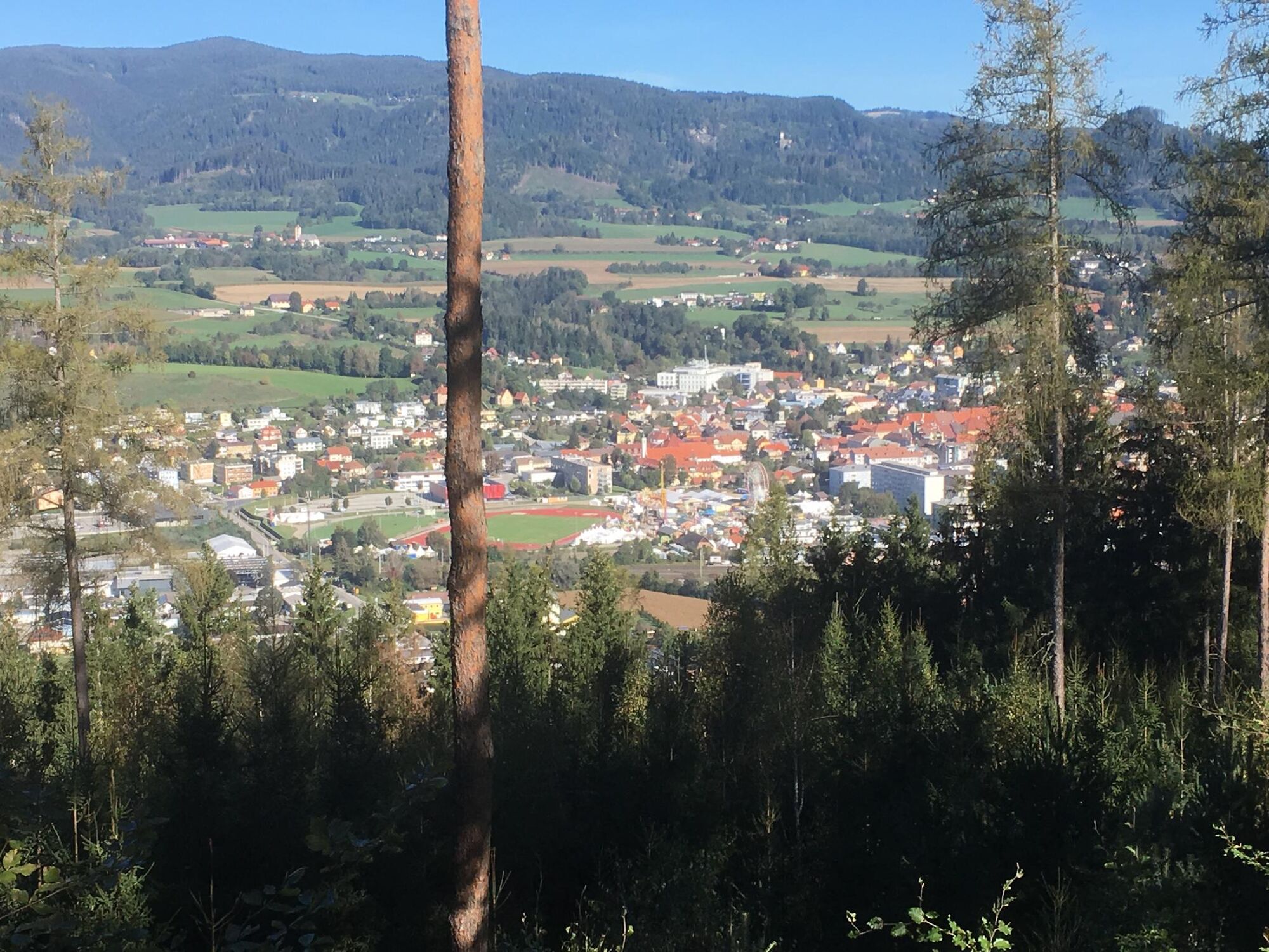
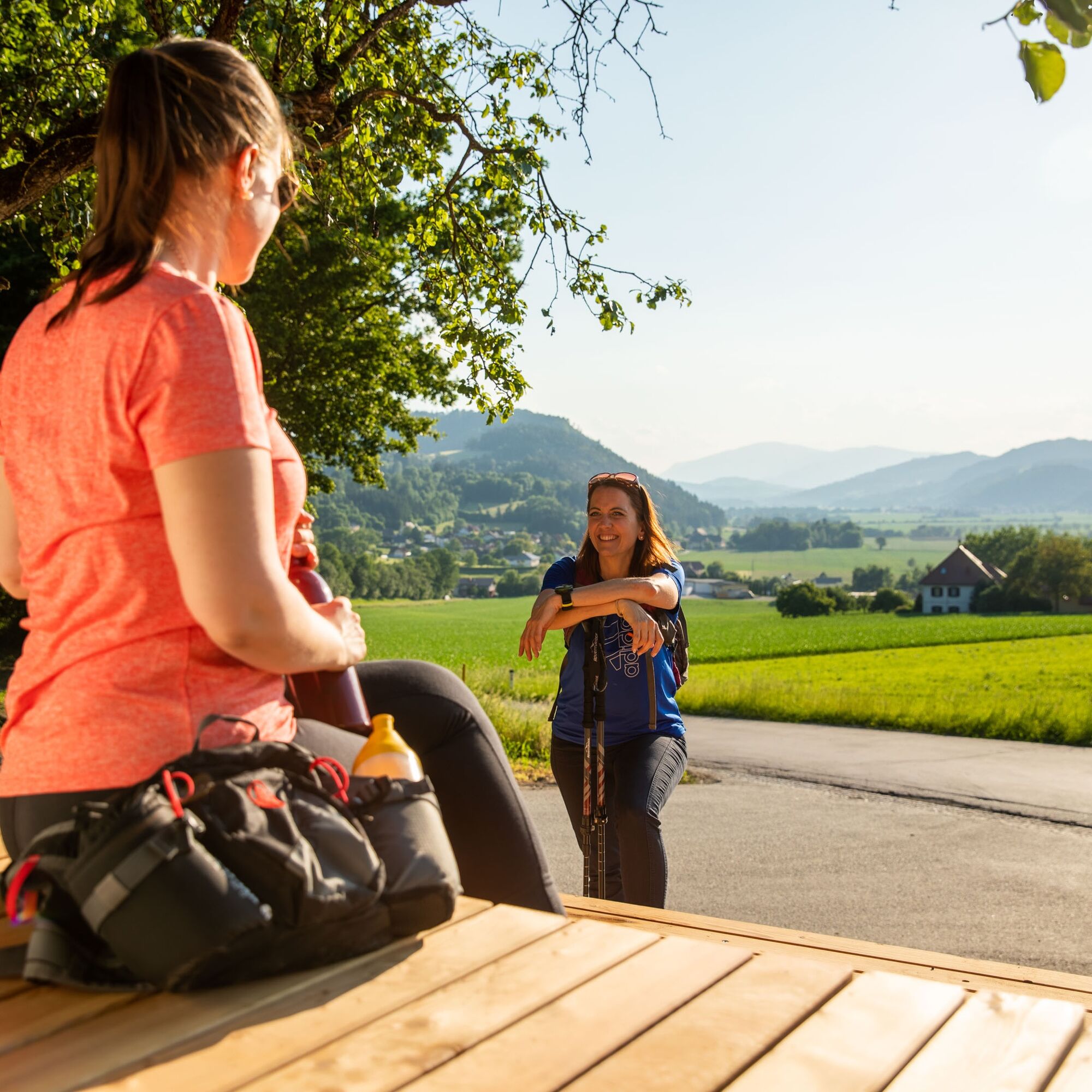
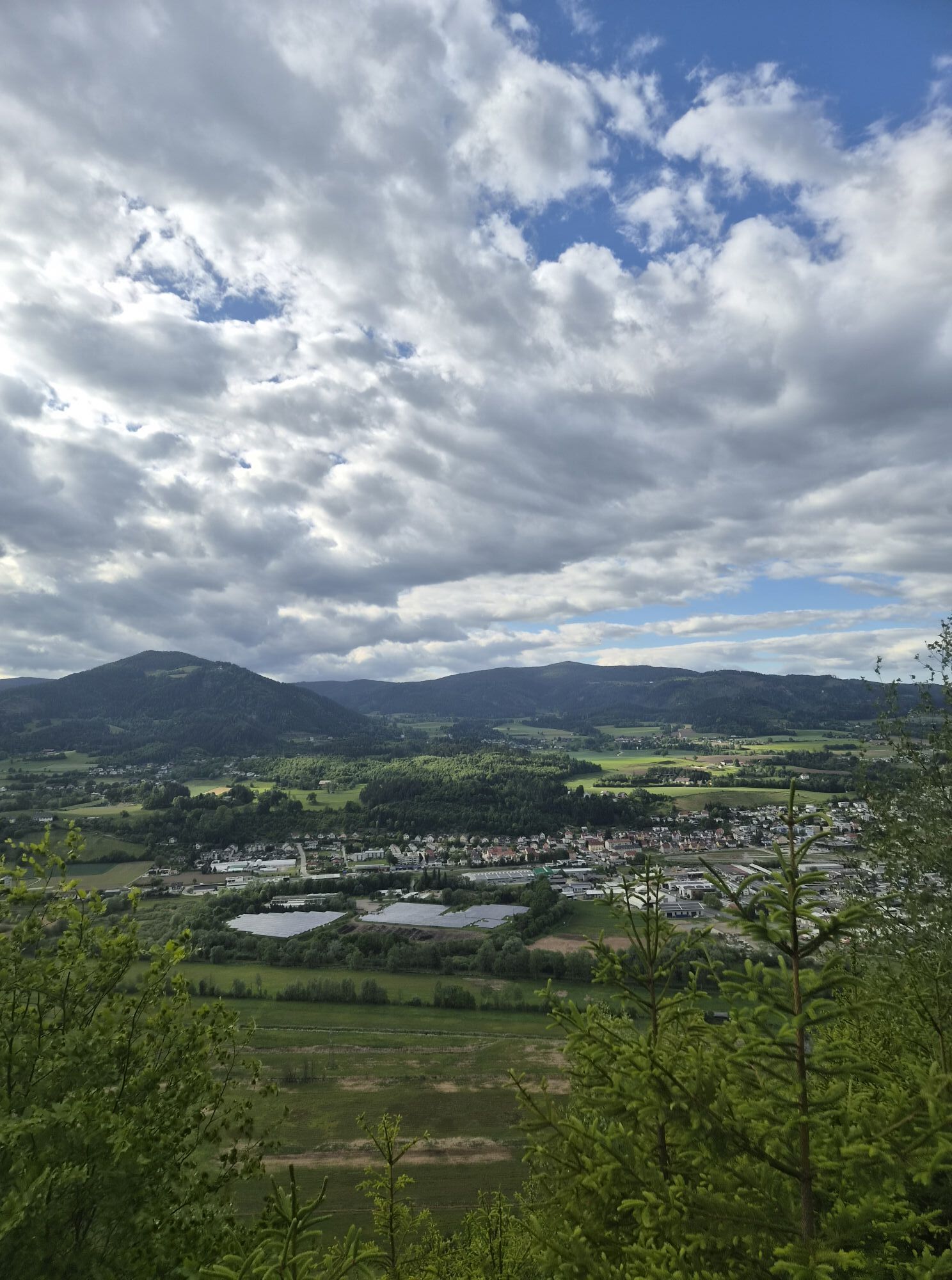
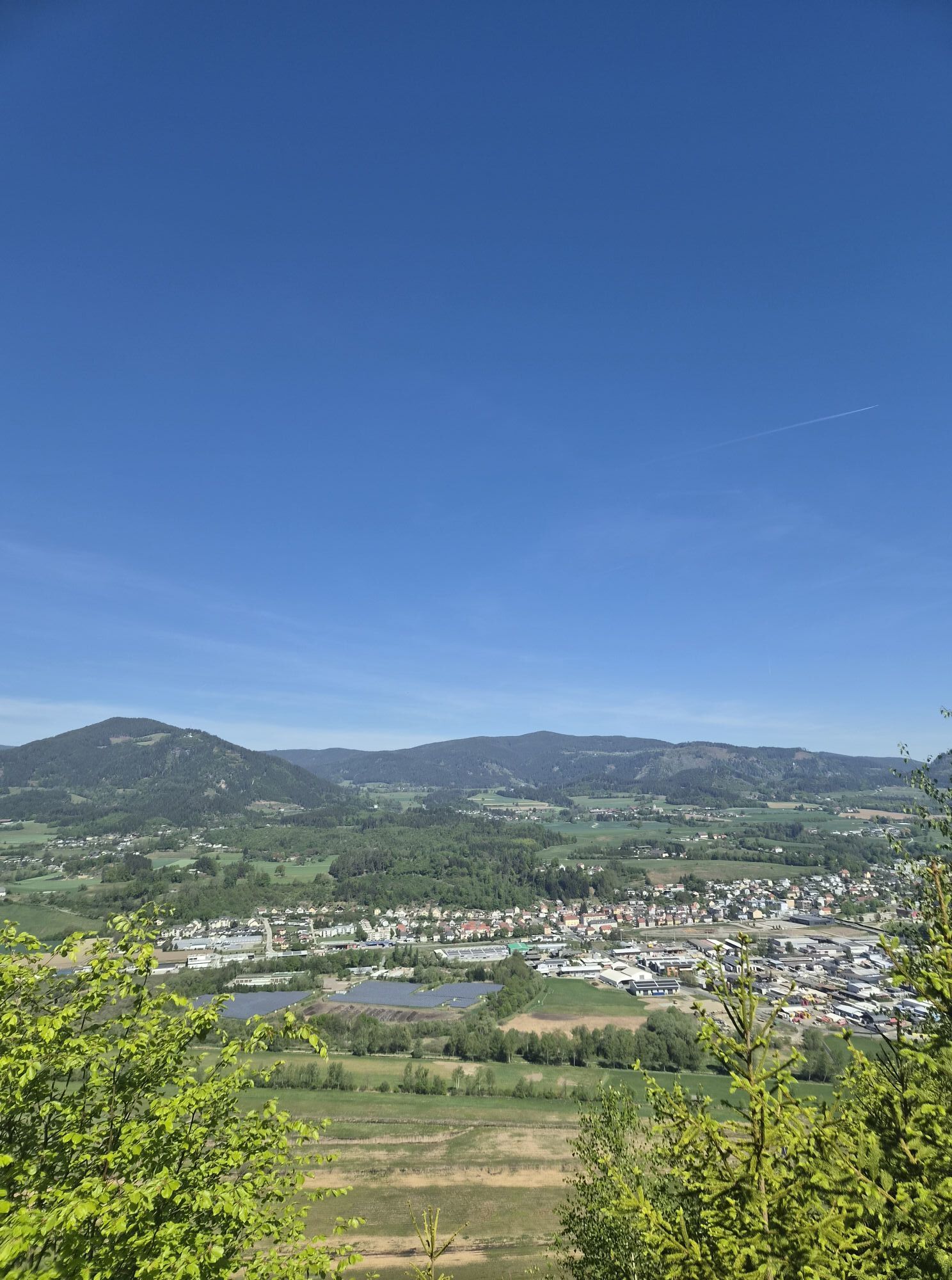
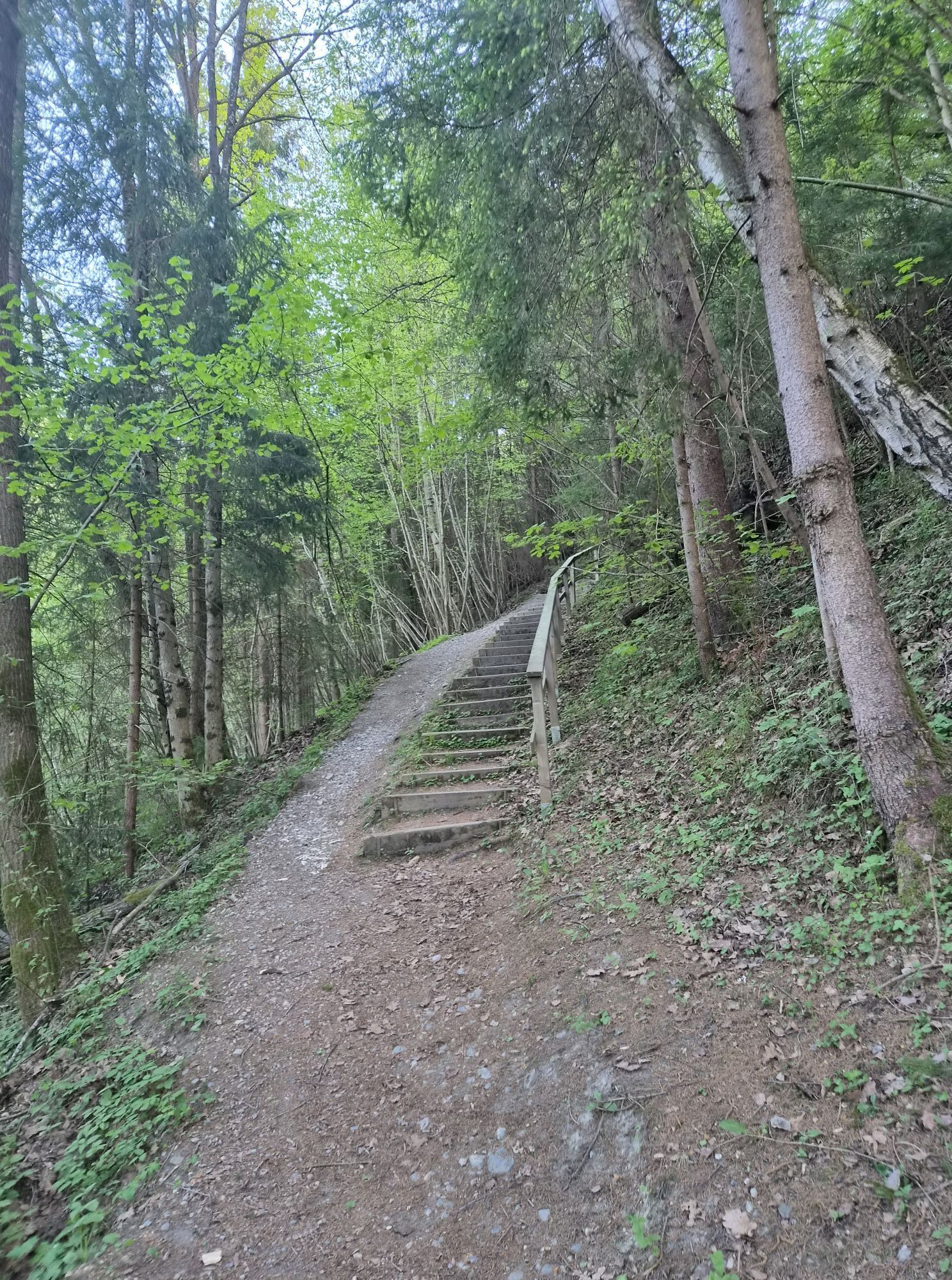
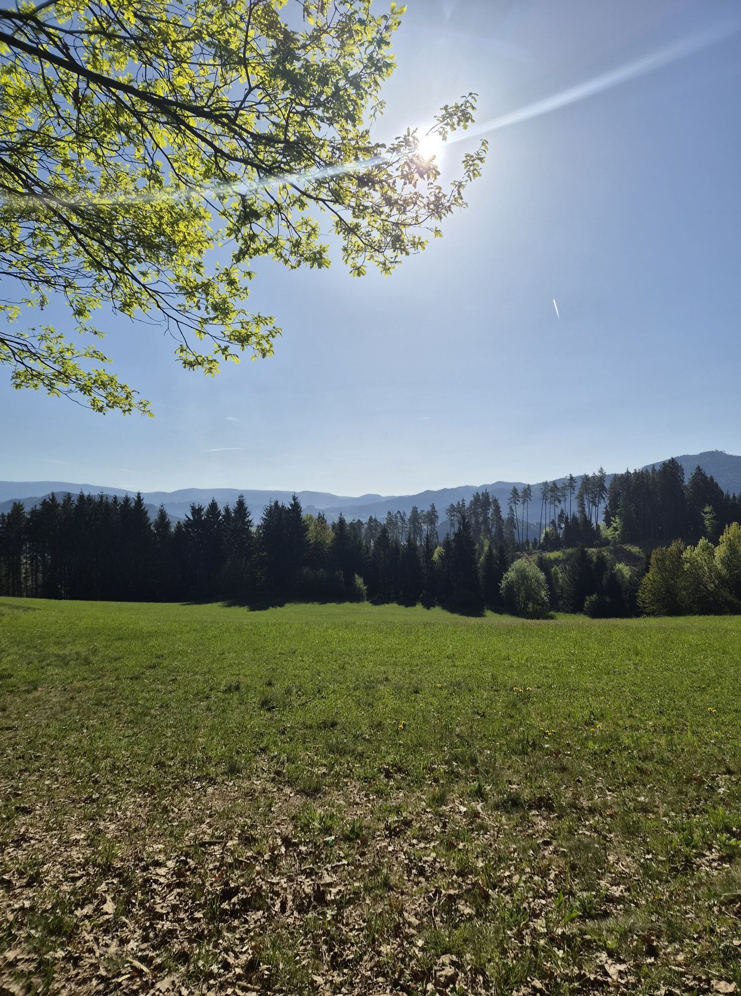
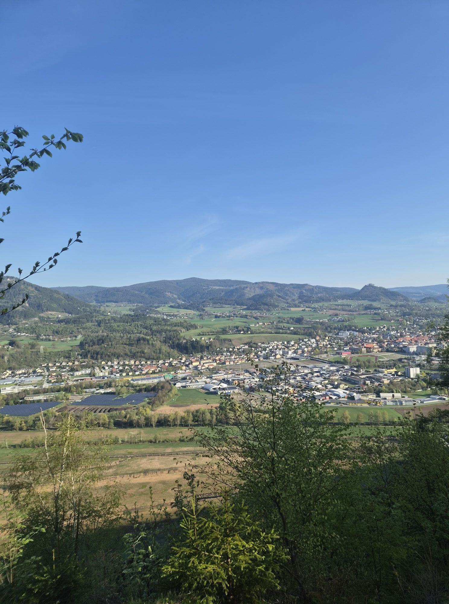
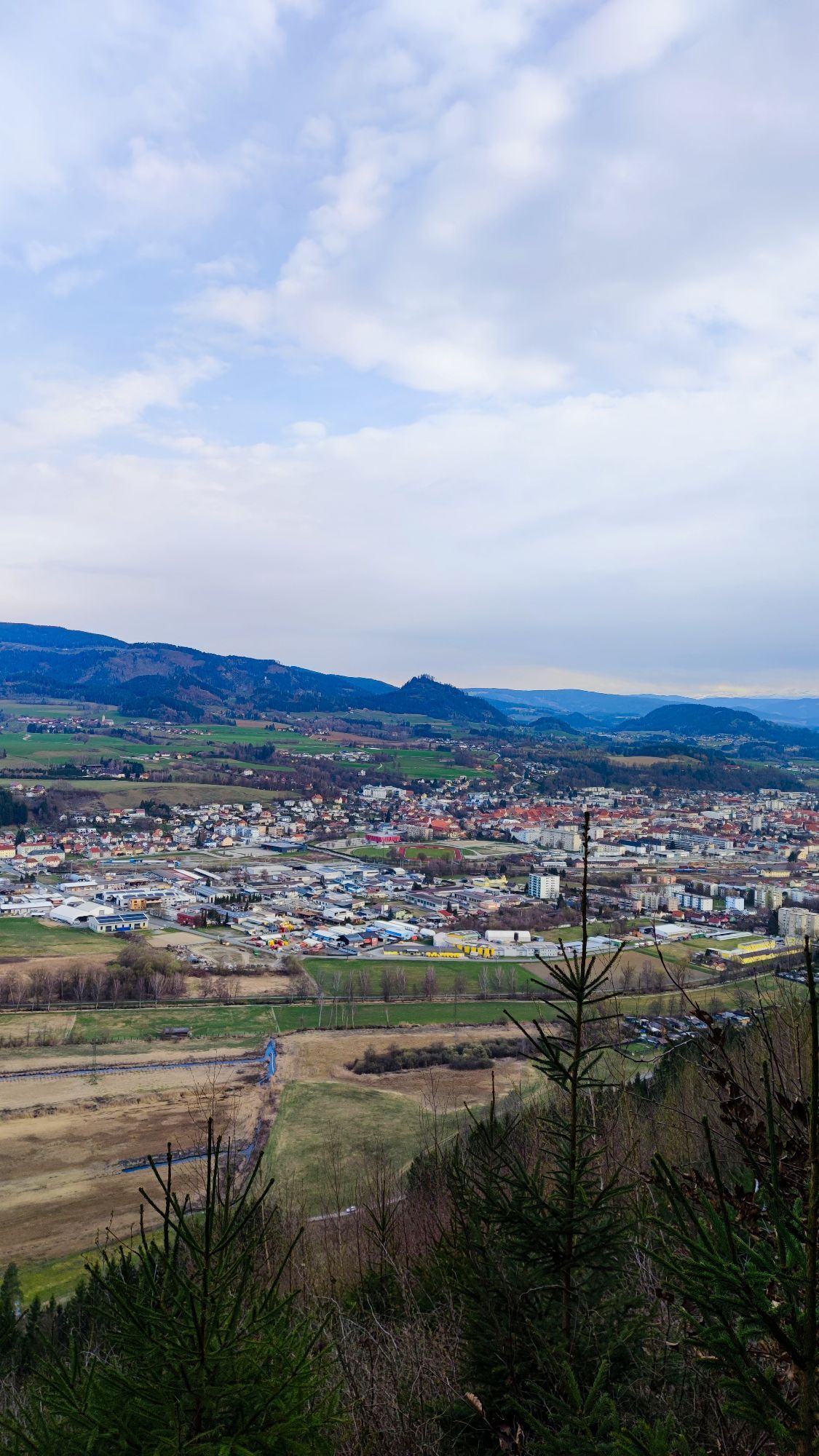
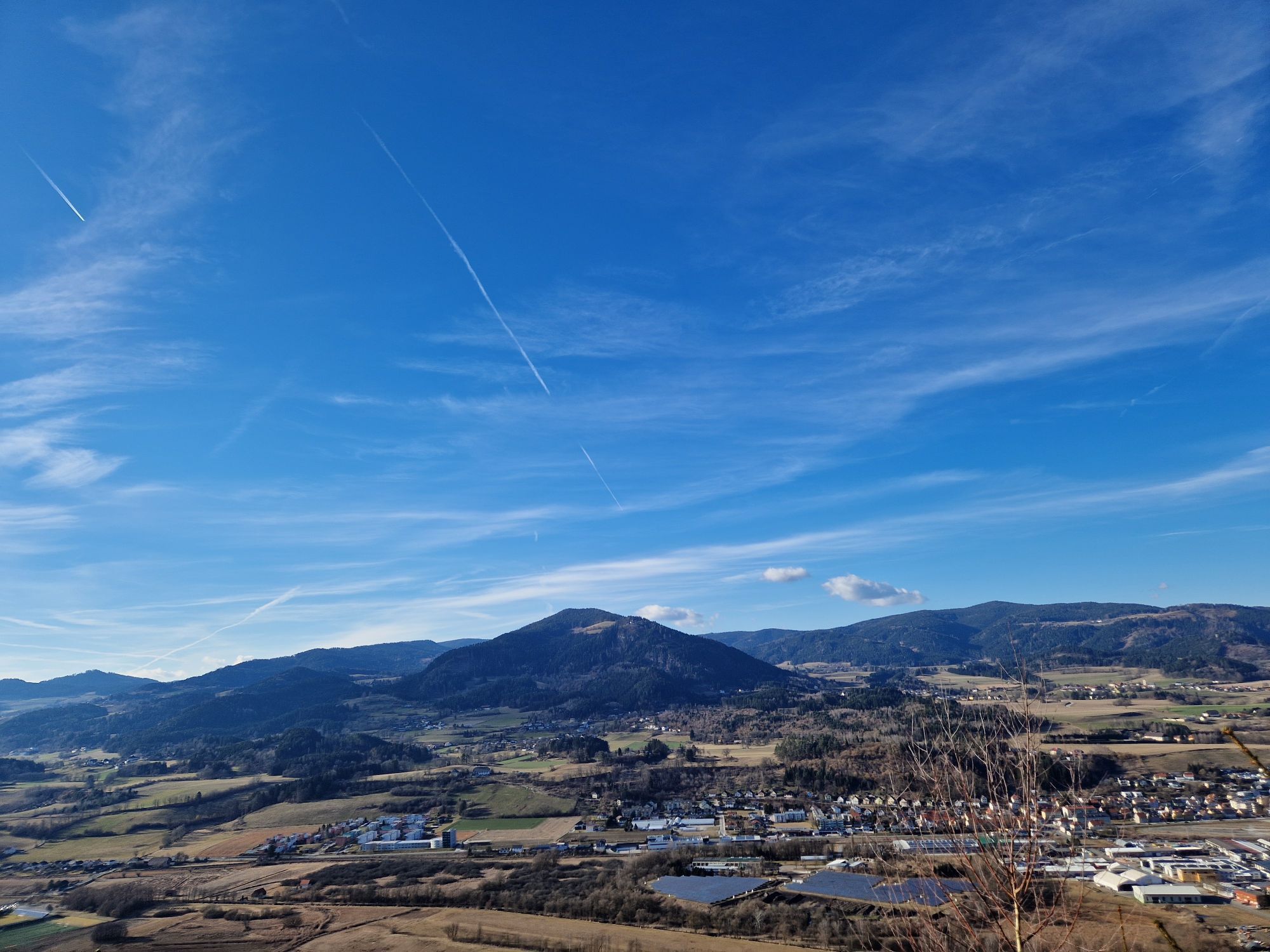
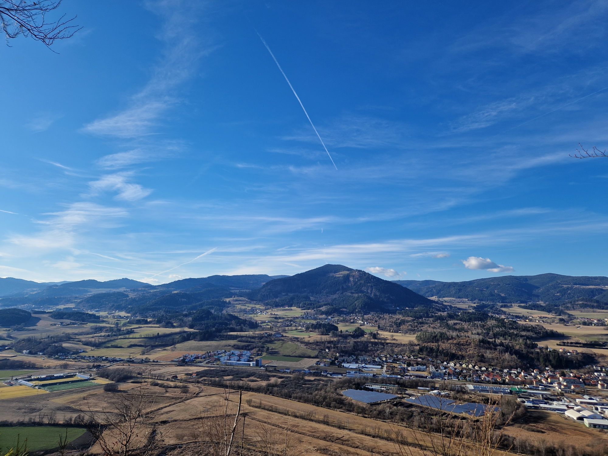
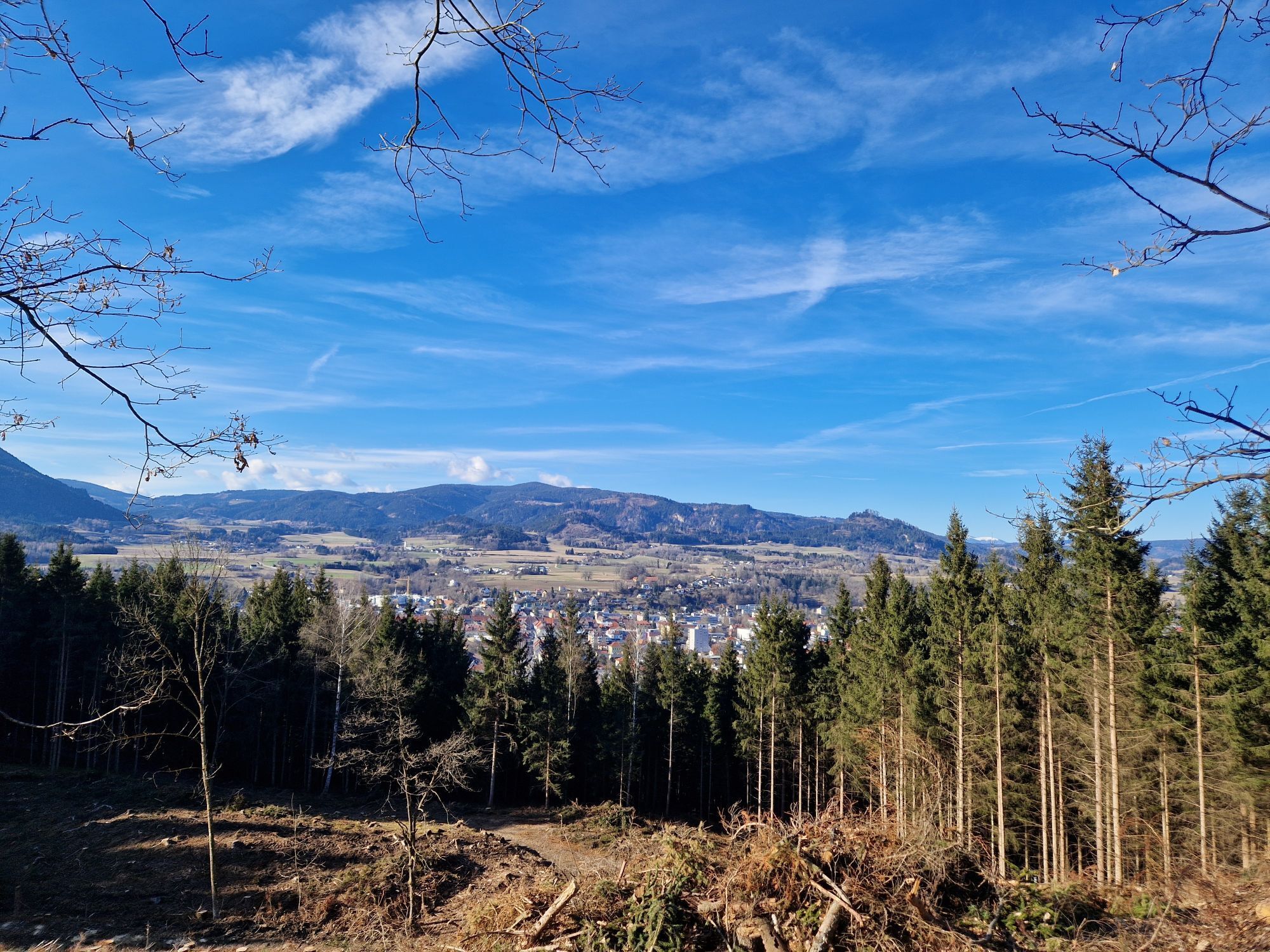
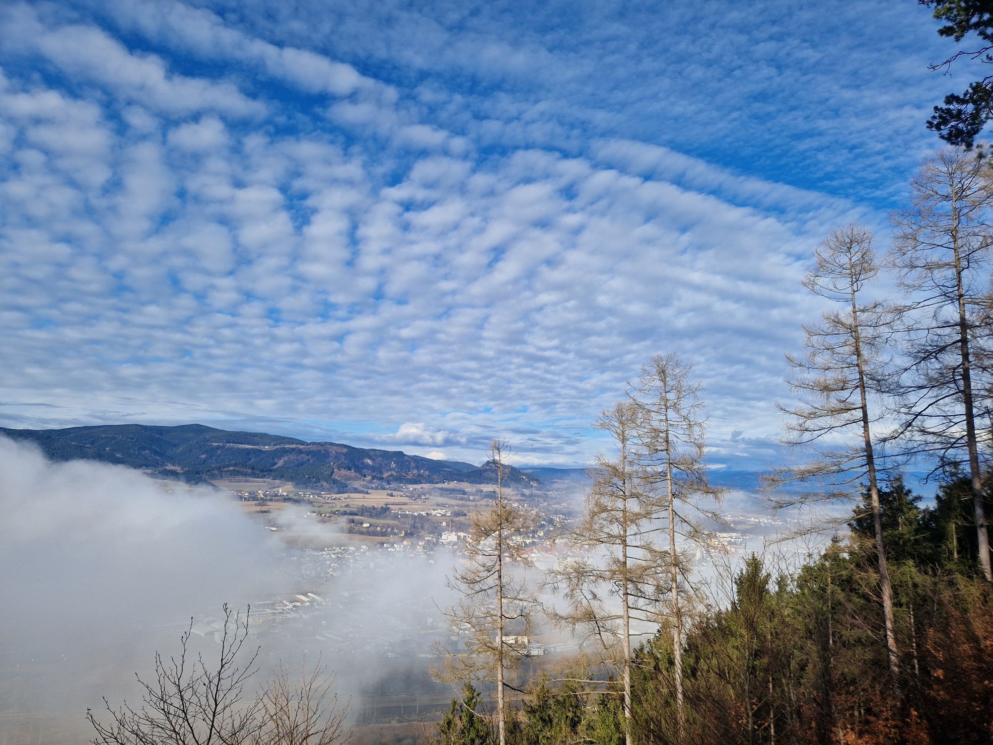
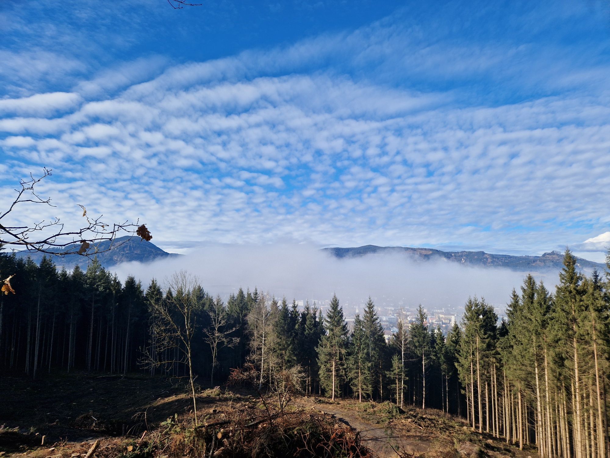
The starting point is the parking lot next to Klagenfurter Straße. You take the forest path into the woods and keep right. Now you hike gently uphill until you reach a fork. Follow the forest path to the Chapel of the Black Madonna (here are three springs, whose water is appreciated by many St. Veiters). You keep right and go gently uphill, passing a few beautiful viewpoints to the Weberitsch Höhe. Then it goes slightly downhill until you reach a field path. On this, you continue hiking towards Baardorf and the L72A and follow the state road for about 700 m. At the junction to the left, you reach the sun rest area, which invites you to a short break with a wonderful view of the Glan valley. After a short section on the state road, you immediately turn right onto a field path which you follow until you reach Streimberg. You keep right again and continue to Hörzendorfer See.
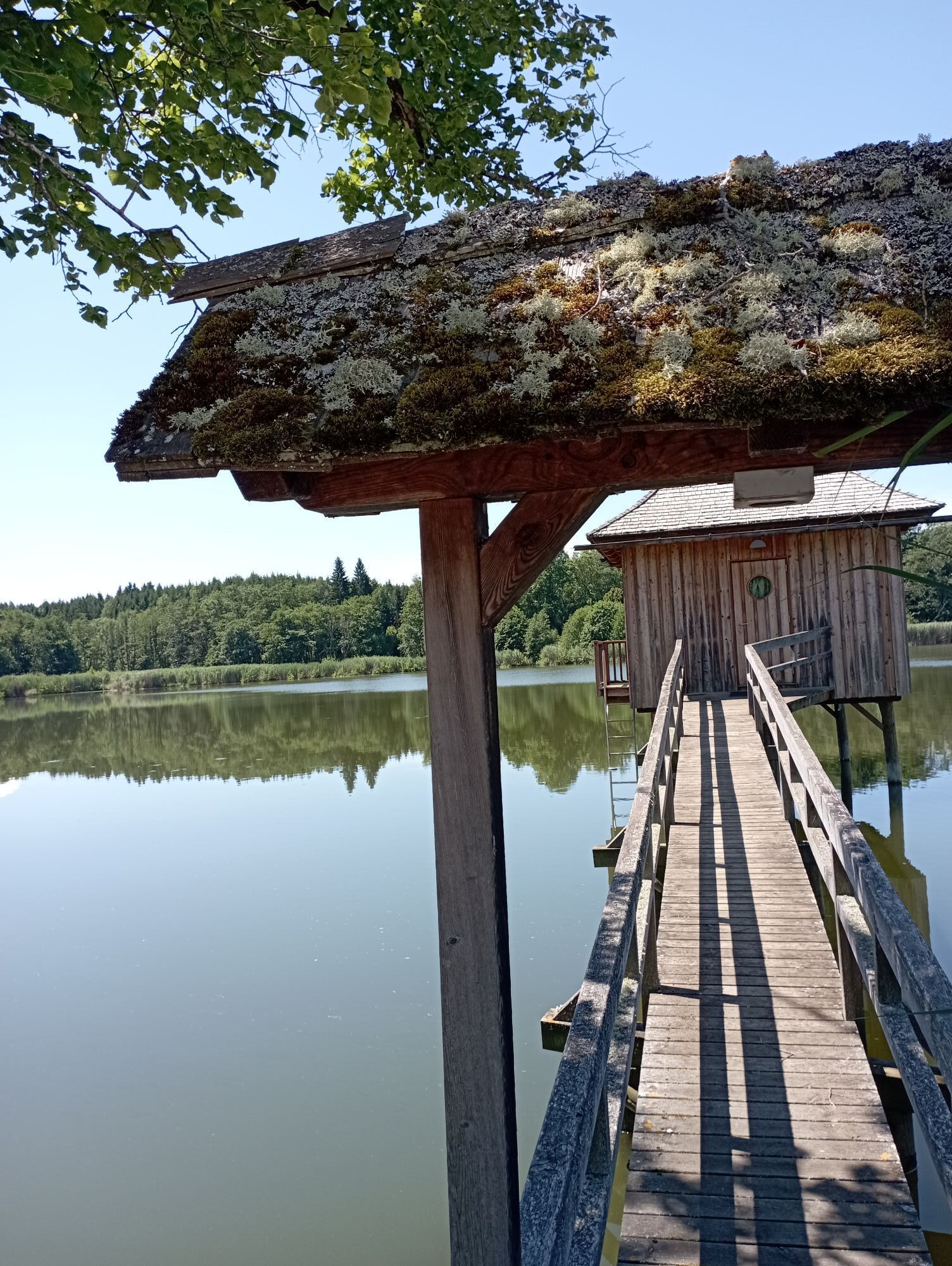
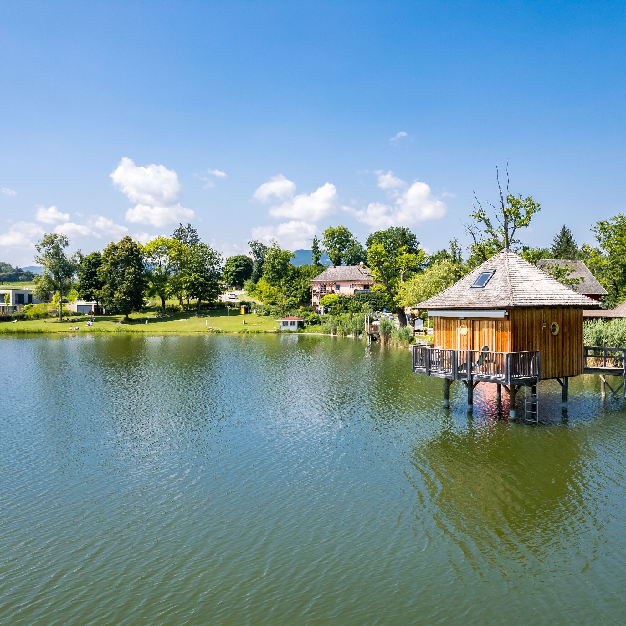
Anyone who wants to explore the area around the lake can also add the short hike on the Hörzendorfer See circular trail (about 3/4 hour).
Tak
Sturdy footwear and weather-appropriate clothing
please pay attention to the weather
Coming from Klagenfurt or Neumarkt on the B317 to the St. Veit Mitte exit.
St. Veit is accessible by bus and train.
Parking is available at the starting point of the hike
find more routes here:
https://regio.outdooractive.com/oar-mittelkaernten/de/
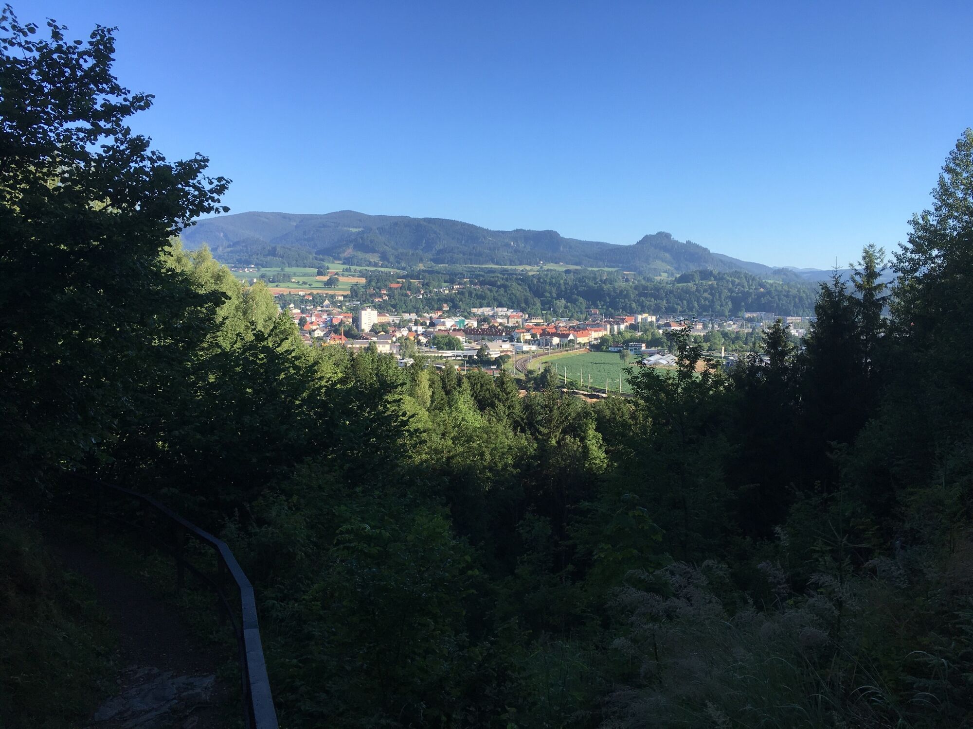
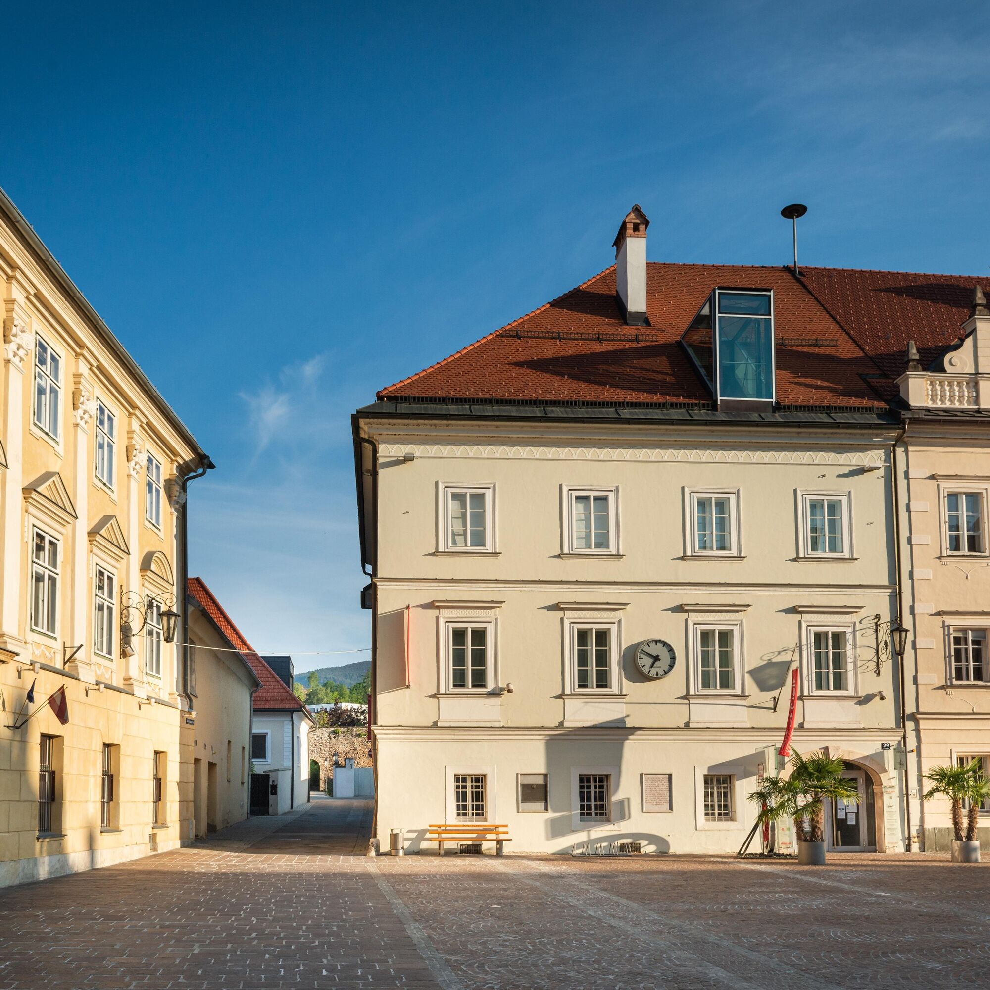
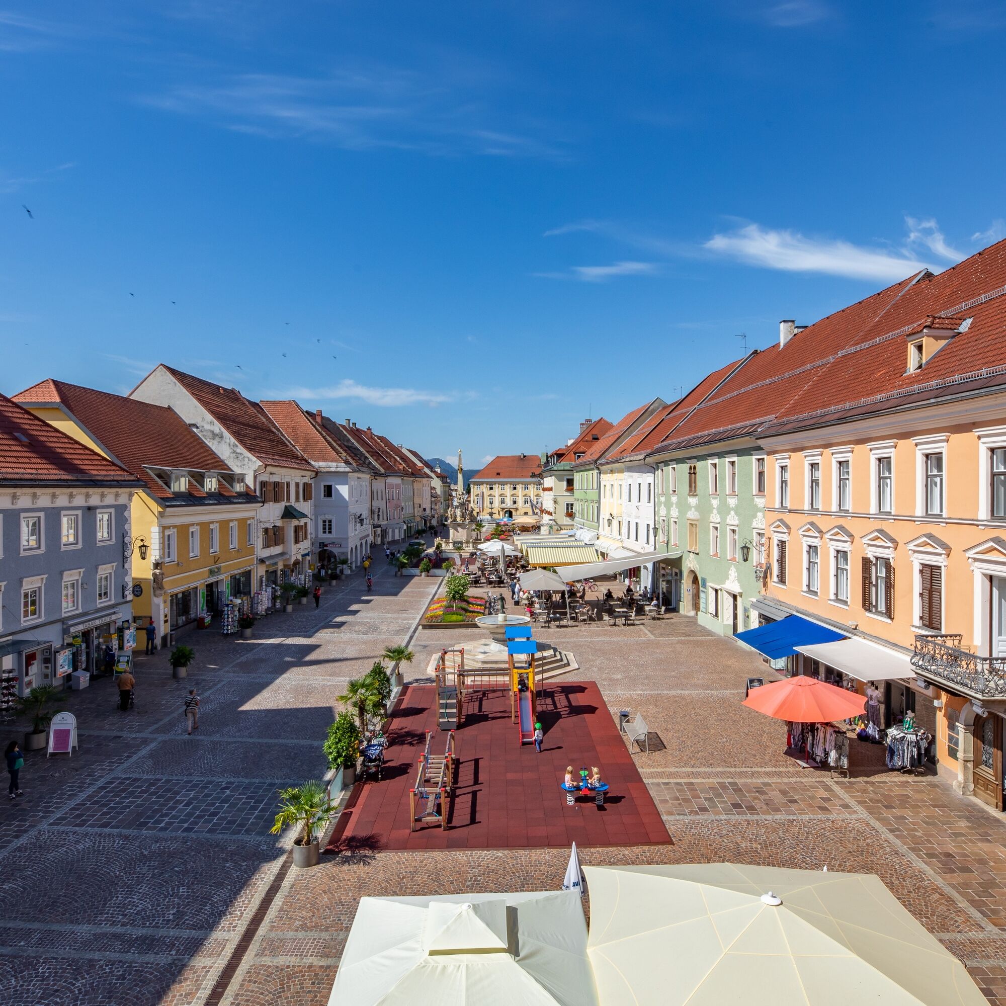
*Old Town St.Veit/Glan
*Auer von Welsbach Museum
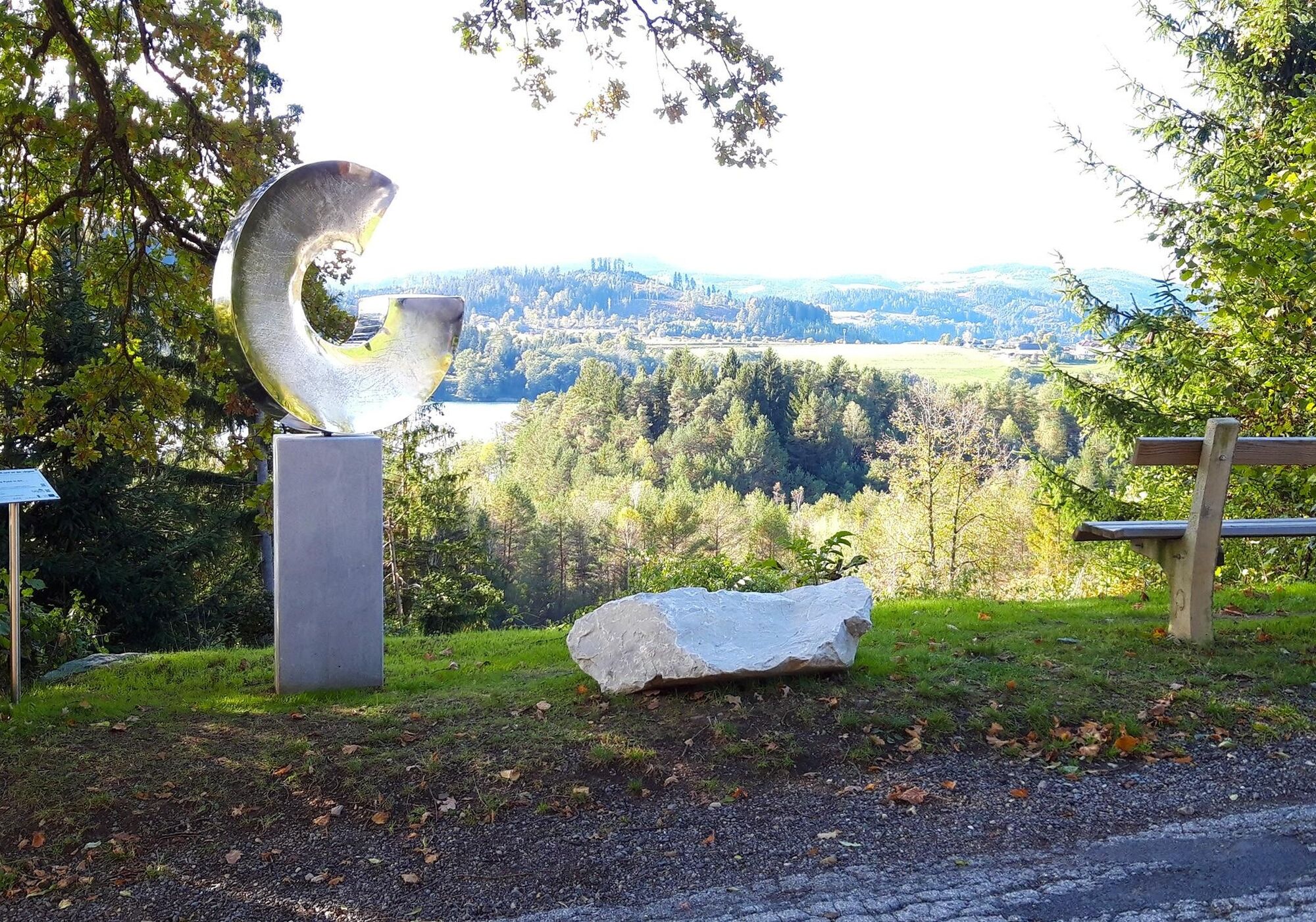
*Hörzendorfer See
*Black Madonna: here are three springs, whose water is appreciated by many St. Veiters
Popularne wycieczki w okolicy
- 4,8
Abenteuer-Wasser-Weg
średniWędrówka 9,13 km - 4,7
Vierbergelauf
średniTrasa pielgrzymki 47,6 km - 4,7
Zillhöhe
średniBieganie 7,94 km - 4,5
Ulrichsberg
światłoWędrówka 5,60 km - 3,6
Kunstwanderweg rund um den Längsee (1)
światłoWędrówka 5,43 km - 4,1
MAGDALENSBERG RUNDWANDERUNG
średniWędrówka 11,7 km - 4,4
Magdalensberg von St.Donat
światłoWędrówka 9,28 km - 3,8
Schloss Frauenstein - Kraiger lake circular route
światłoWędrówka 6,96 km - 4,0
Around the Buchberg (6)
średniWędrówka 8,79 km - 4,7
Through the Wolschart Forest (8)
światłoWędrówka 9,98 km

Wędrówki i tropienie


Nie przegap ofert i inspiracji na następne wakacje
Twój adres e-mail została dodana do listy mailingowej.