


"Zwickenberg - Mooswiesen"
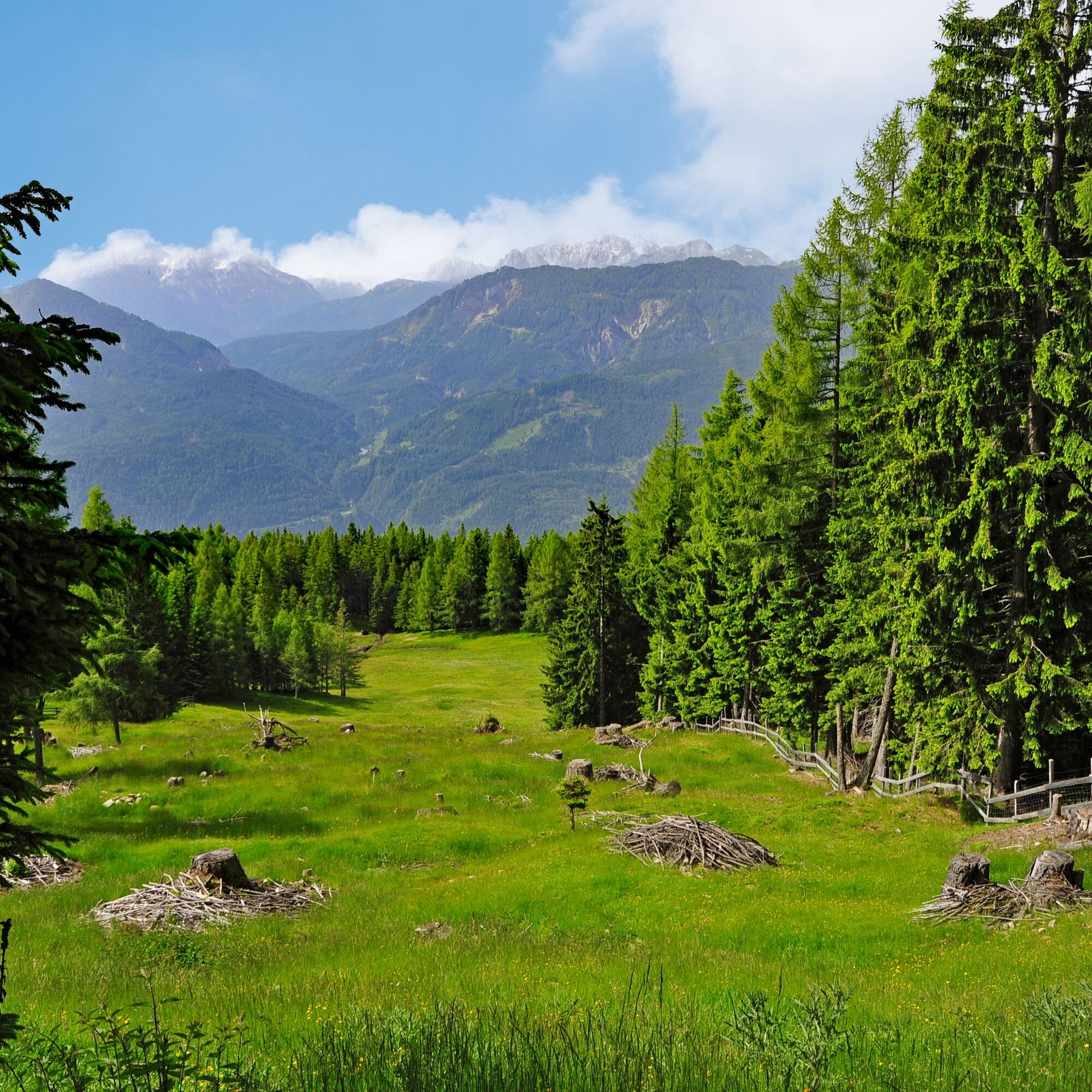
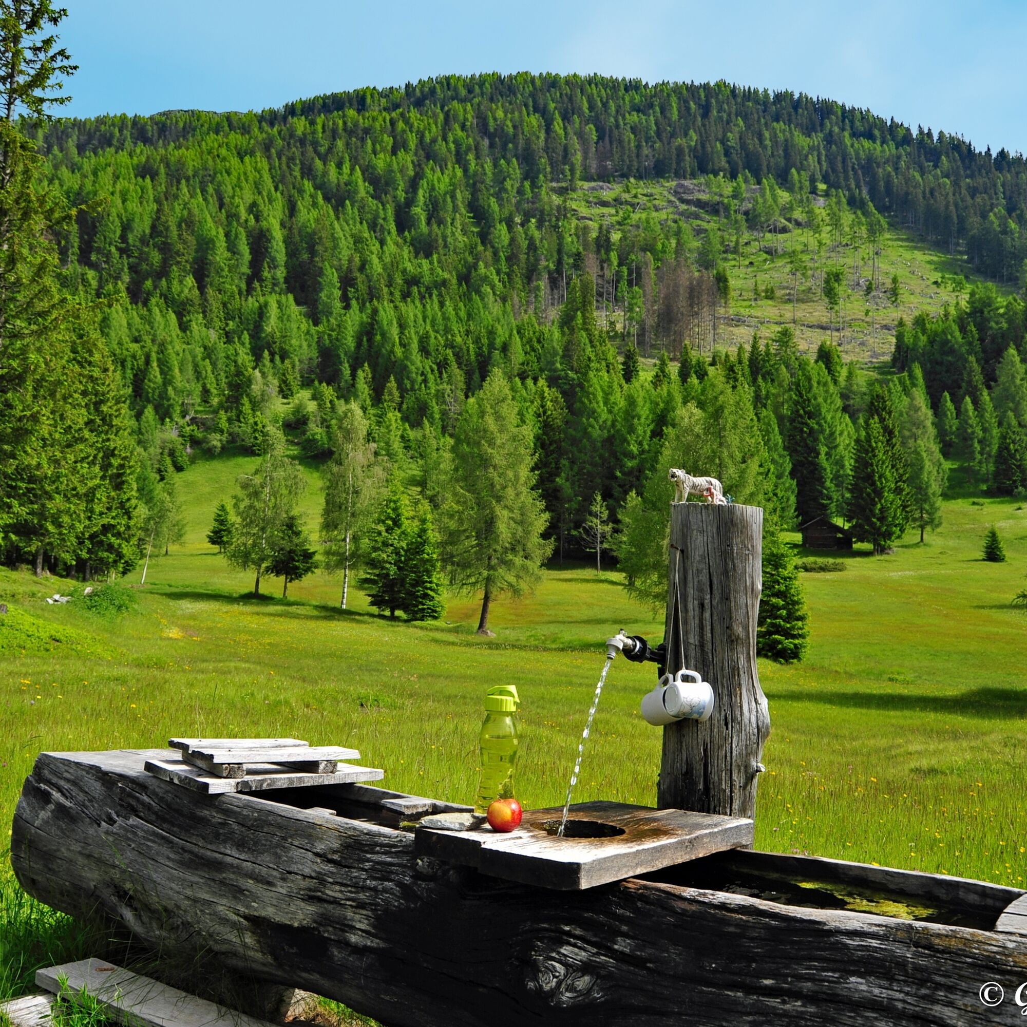
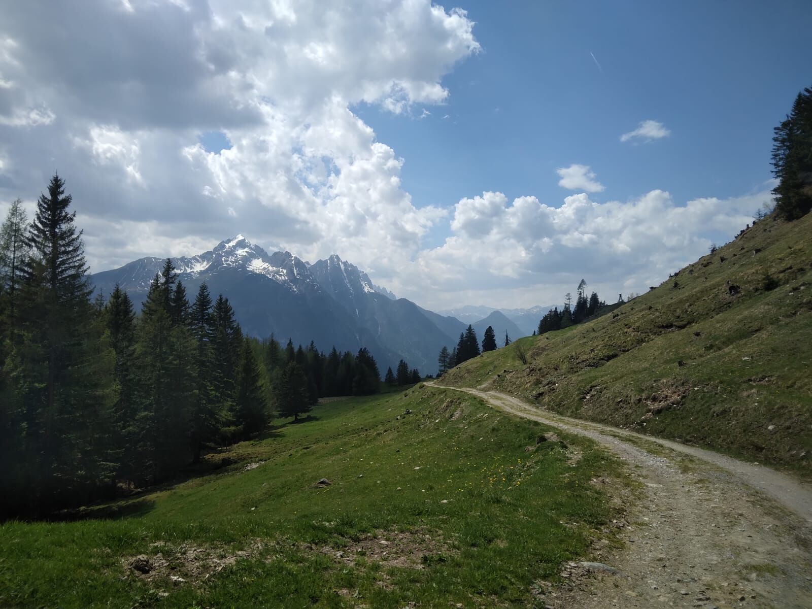
Peace and idyll characterize the Mooswiesen above Zwickenberg. As the name suggests, the Mooswiesen are a remarkable flat and intermediate bog area at about 1,500 m elevation. Those who spot the extremely...
Peace and idyll characterize the Mooswiesen above Zwickenberg. As the name suggests, the Mooswiesen are a remarkable flat and intermediate bog area at about 1,500 m elevation. Those who spot the extremely rare sundew during the tour to the Mooswiesen can count themselves lucky. Due to its very specific site requirements, the sundew is one of the most endangered plants in Austria. The Mooswiesen – an ideal retreat for taking time out in nature.
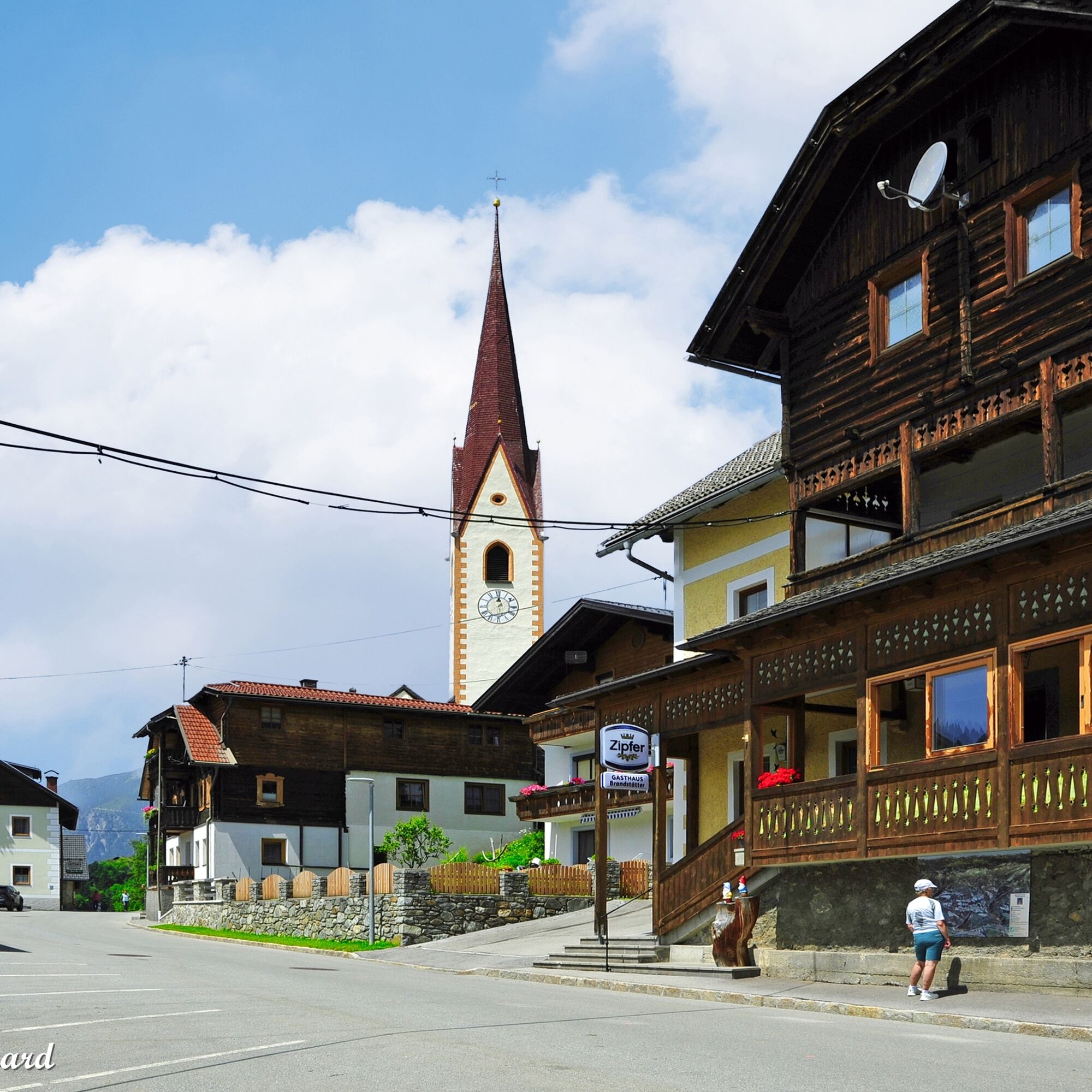

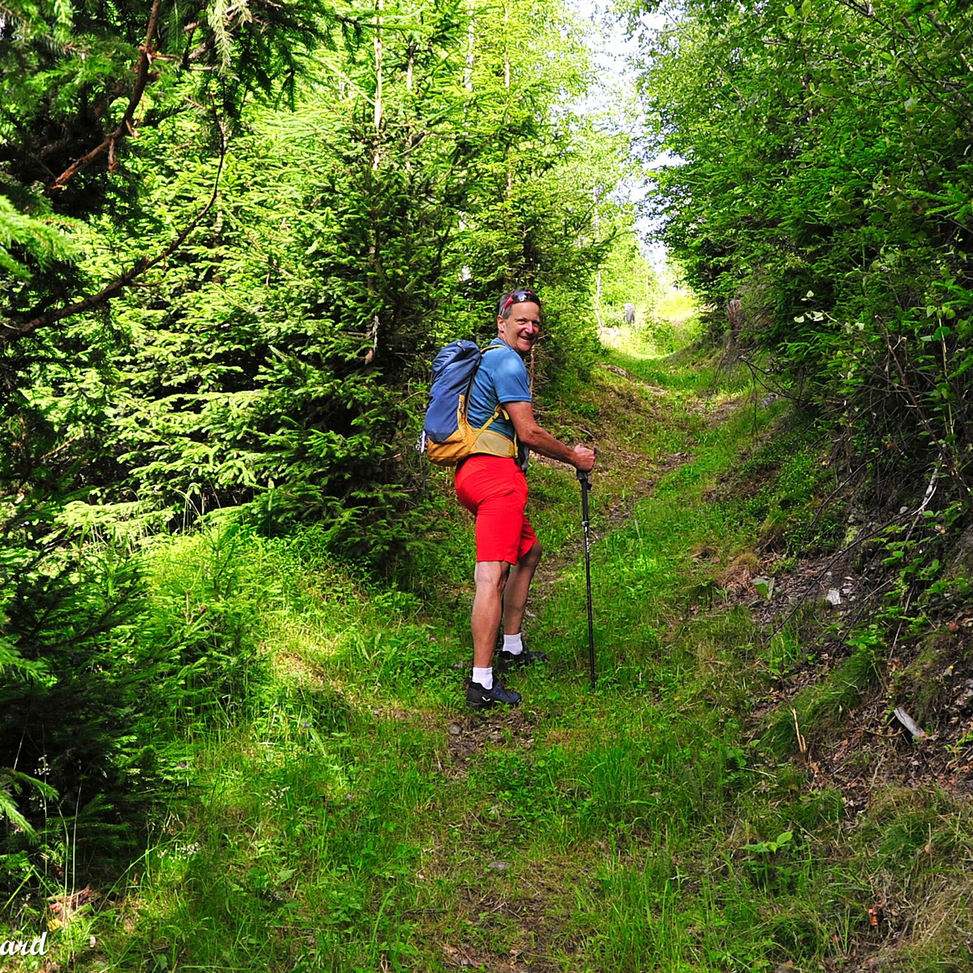


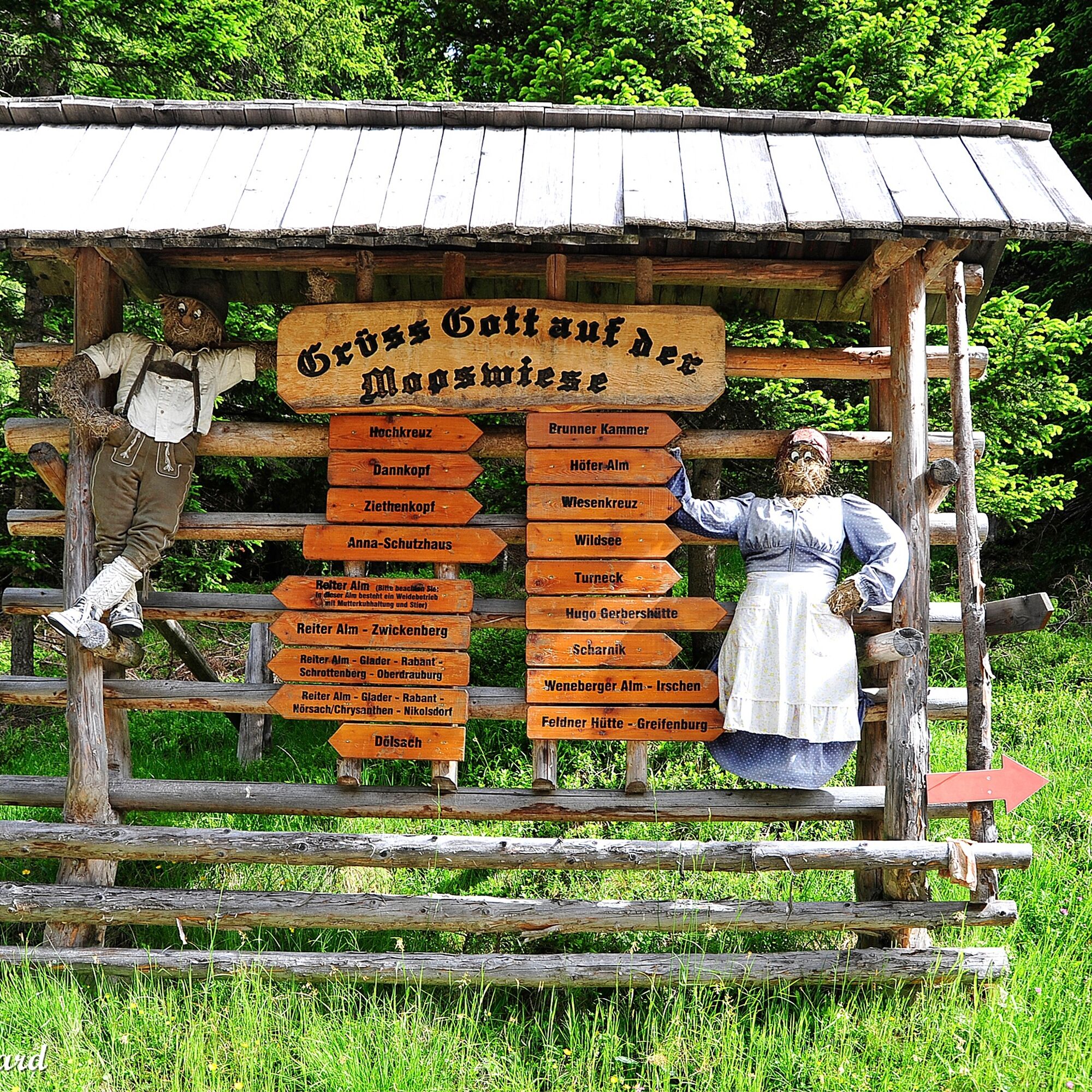
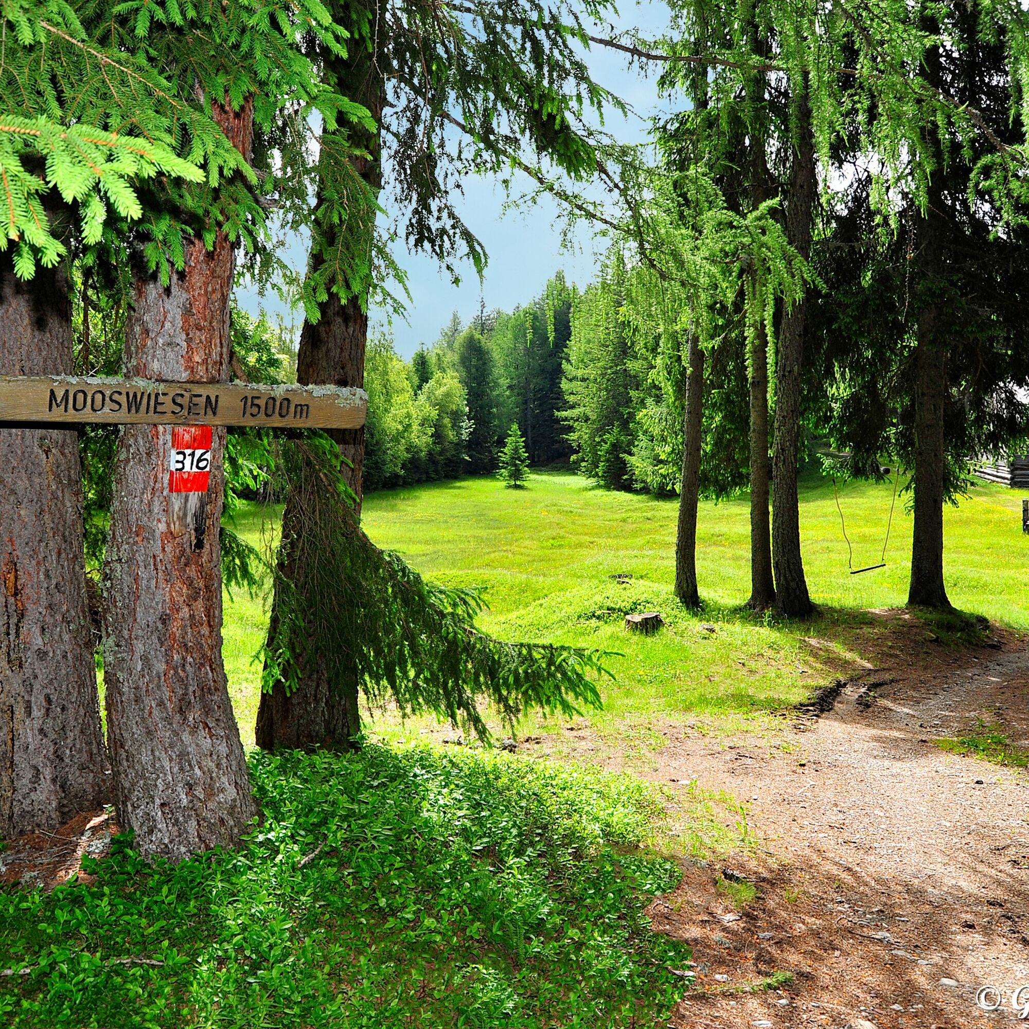
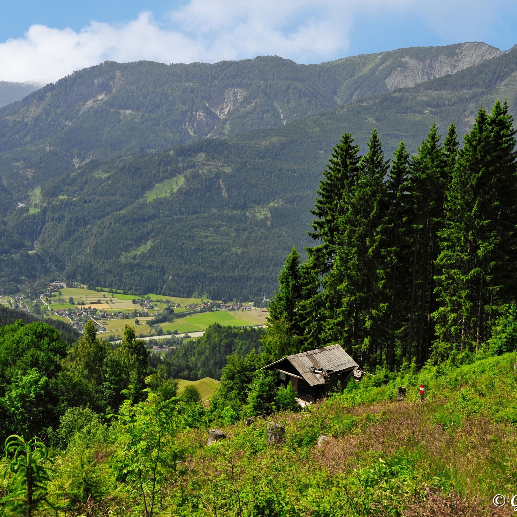
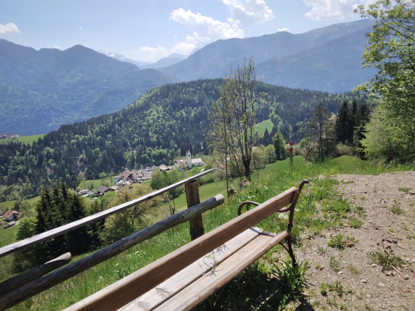
Next to the church in Zwickenberg, parking next to the inn, the circular hiking trail “Mooswiesen” begins. At the start, it goes steeply uphill next to the church through shady forest. At the first large signpost, turn right continuing along the forest road towards Wildsee. Shortly after, it goes left again steeply uphill. Alternating over lovely alpine meadows and romantic forest sections at about 1,620 m elevation – here the highest point of the hike is reached – now a forest road leads downhill back to the Mooswiesen. Then at the distinctive signpost, keep left downhill and follow the forest road back to the signpost passed on the ascent. From here the path returns to the starting point.
Sturdy footwear
Via the B100 to Oberdrauburg. At the eastern edge of town, drive up to Zwickenberg (signposted).
Zwickenberg - at the inns near the church
Popularne wycieczki w okolicy
- 4,8
Lienzer Dolomiten-Lasertörl
średniWędrówka 13,2 km - 5,0
Ederplan round from the parking lot Stronach
średniWędrówka 7,19 km - 3,9
Karlsbader Hütte - Lienzer Dolomiten
Wędrówka 8 km - 4,7
Karlsbader Hütte über Rudl-Eller-Weg
ciężkiWędrówka 5,10 km - 4,8
Drau Cycle Path R1
światłoJazda na rowerze 75,9 km - 4,0
Emberger Alm - Hochtristen
średniWędrówka 9,50 km - 3,9
Summit hike to the Hochstadel
średniWędrówka 7,83 km - 5,0
Dolomitenhütte, Rudl-Eller-Weg / Steig, Piccola Ferrata, Laserzsee, Karlsbaderhütte, Dolomitenhütte, Tristach, Österreich
średniWycieczki górskie 11,1 km - 2,6
Lienzer Dolomiten: Karlsbader Hütte und Laserzwand
światłoWędrówka 5,91 km - 5,0
Naßfeldriegel
średniWędrówka 4,70 km

Wędrówki i tropienie


Nie przegap ofert i inspiracji na następne wakacje
Twój adres e-mail została dodana do listy mailingowej.