


Naßfeldriegel


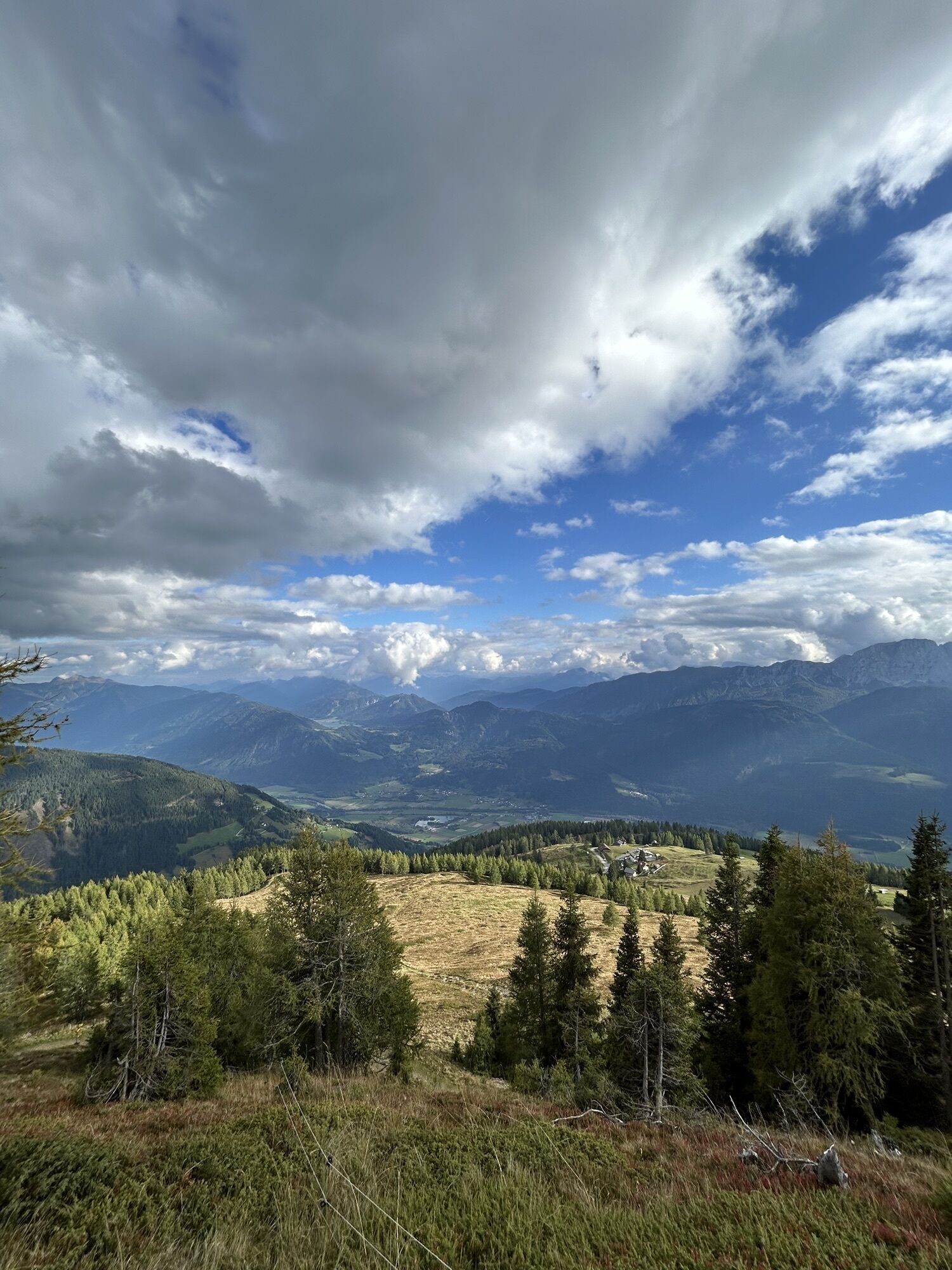
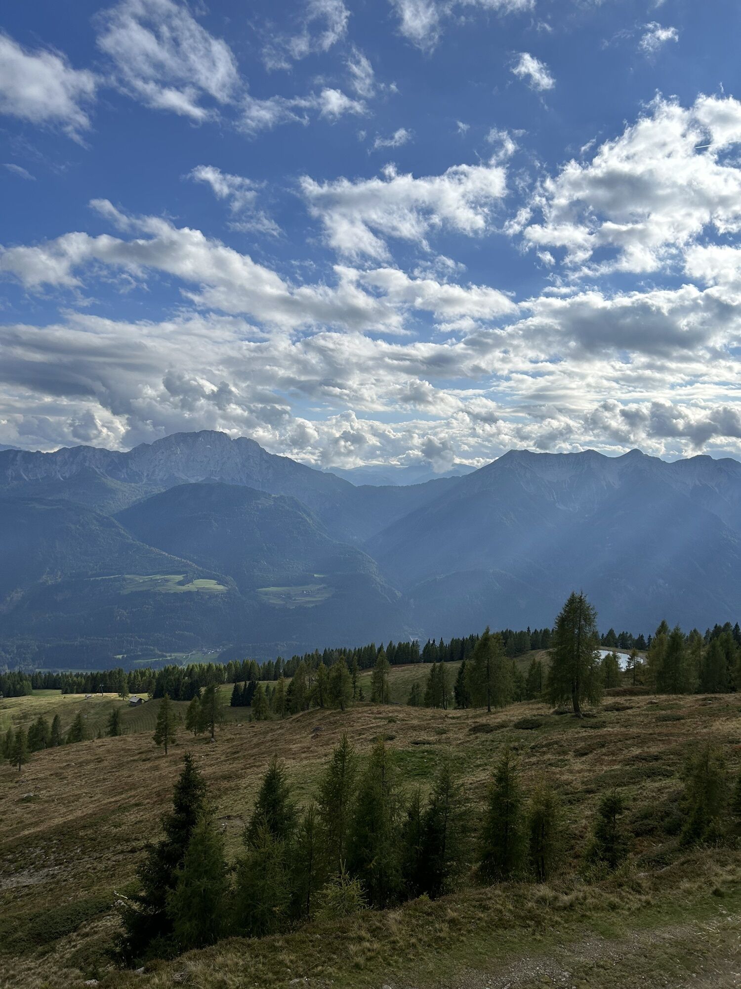
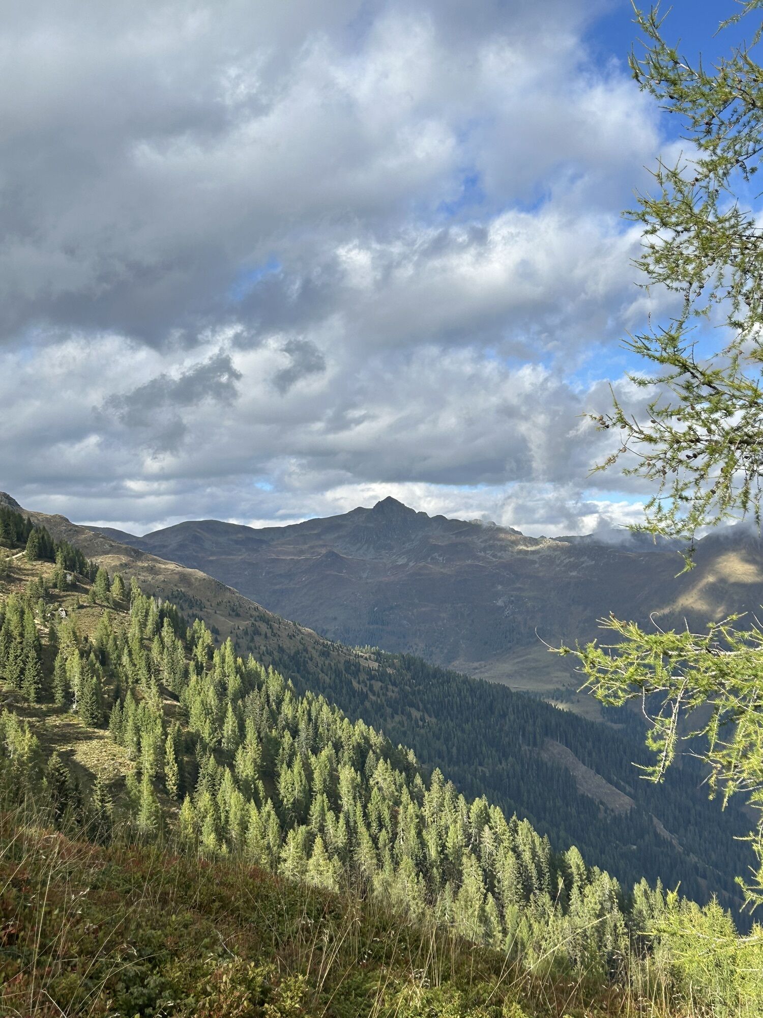
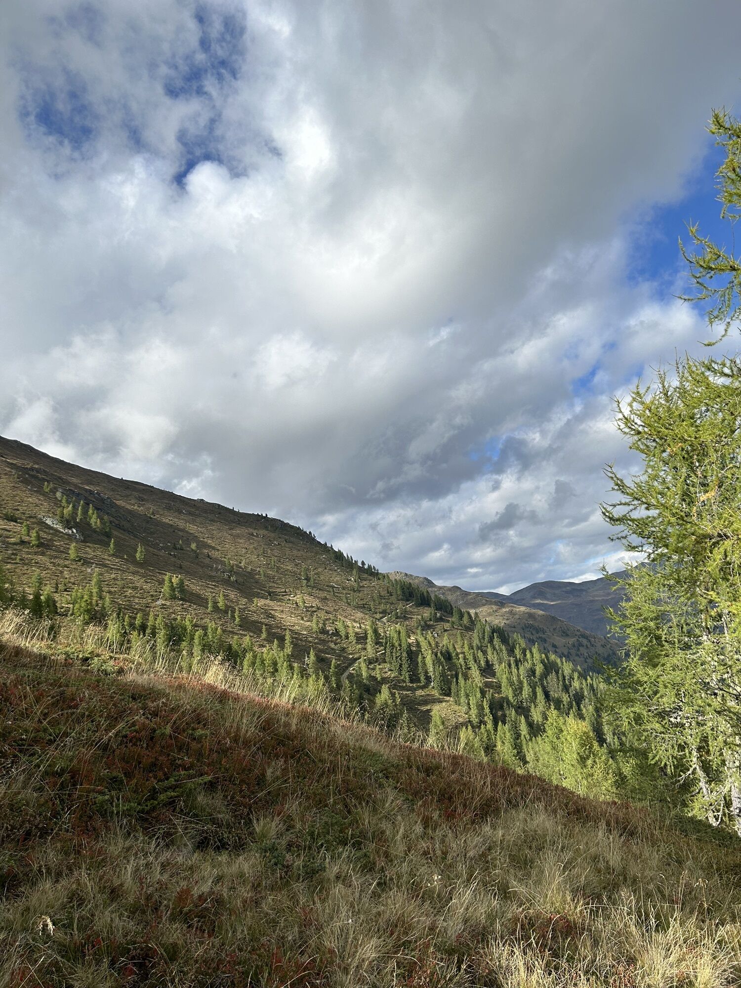
The Naßfeldriegel, 500 meters elevation above the Emberger Alm, is the ideal destination for a short and enjoyable hike. Botanists will particularly rave about it. Various dwarf shrubs (alpine rose, heather,...
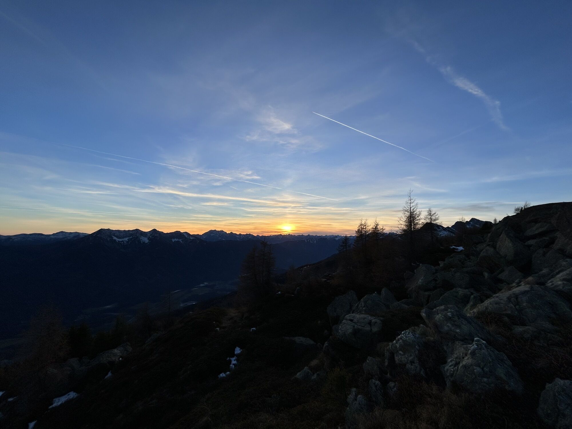
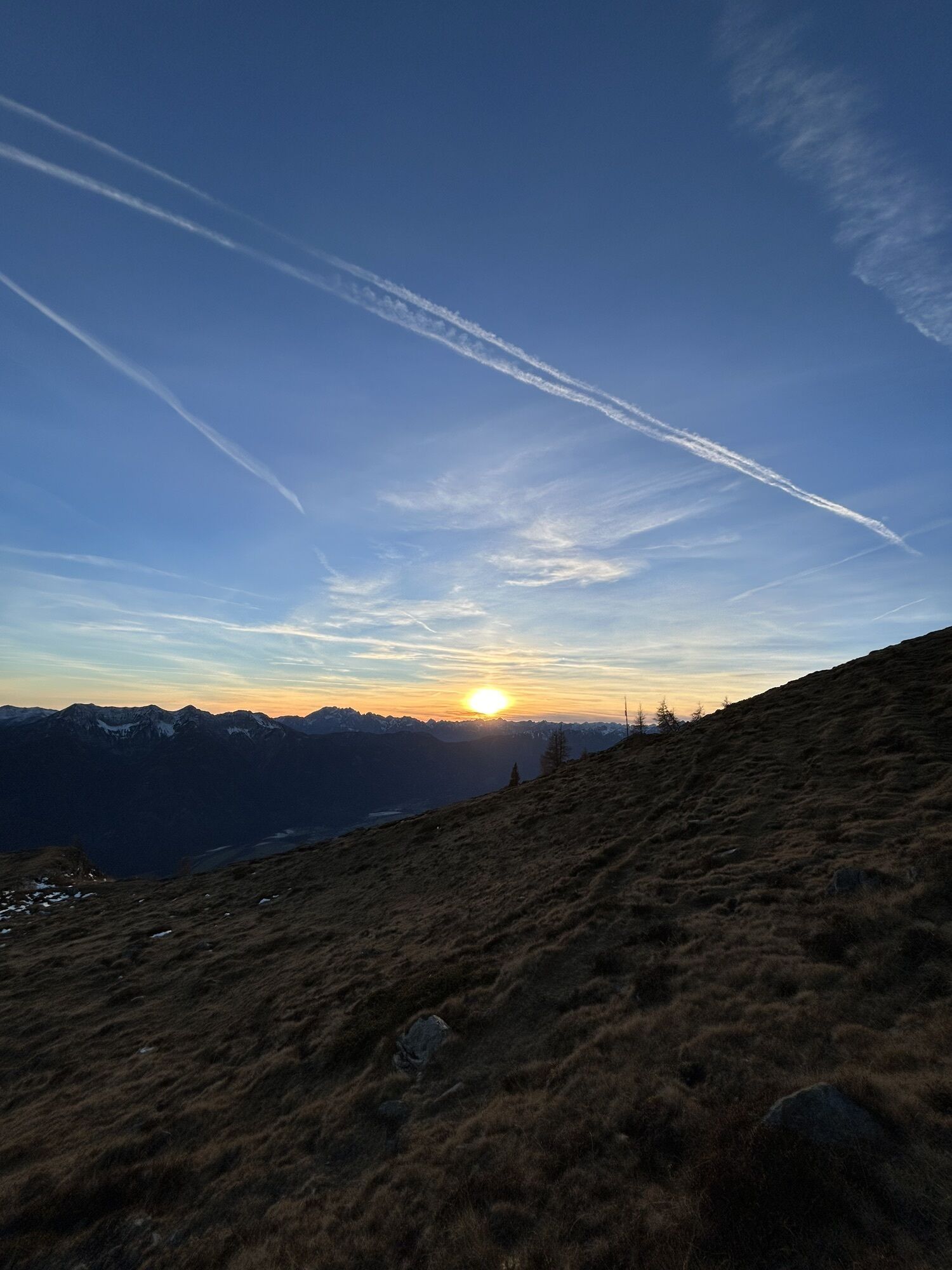
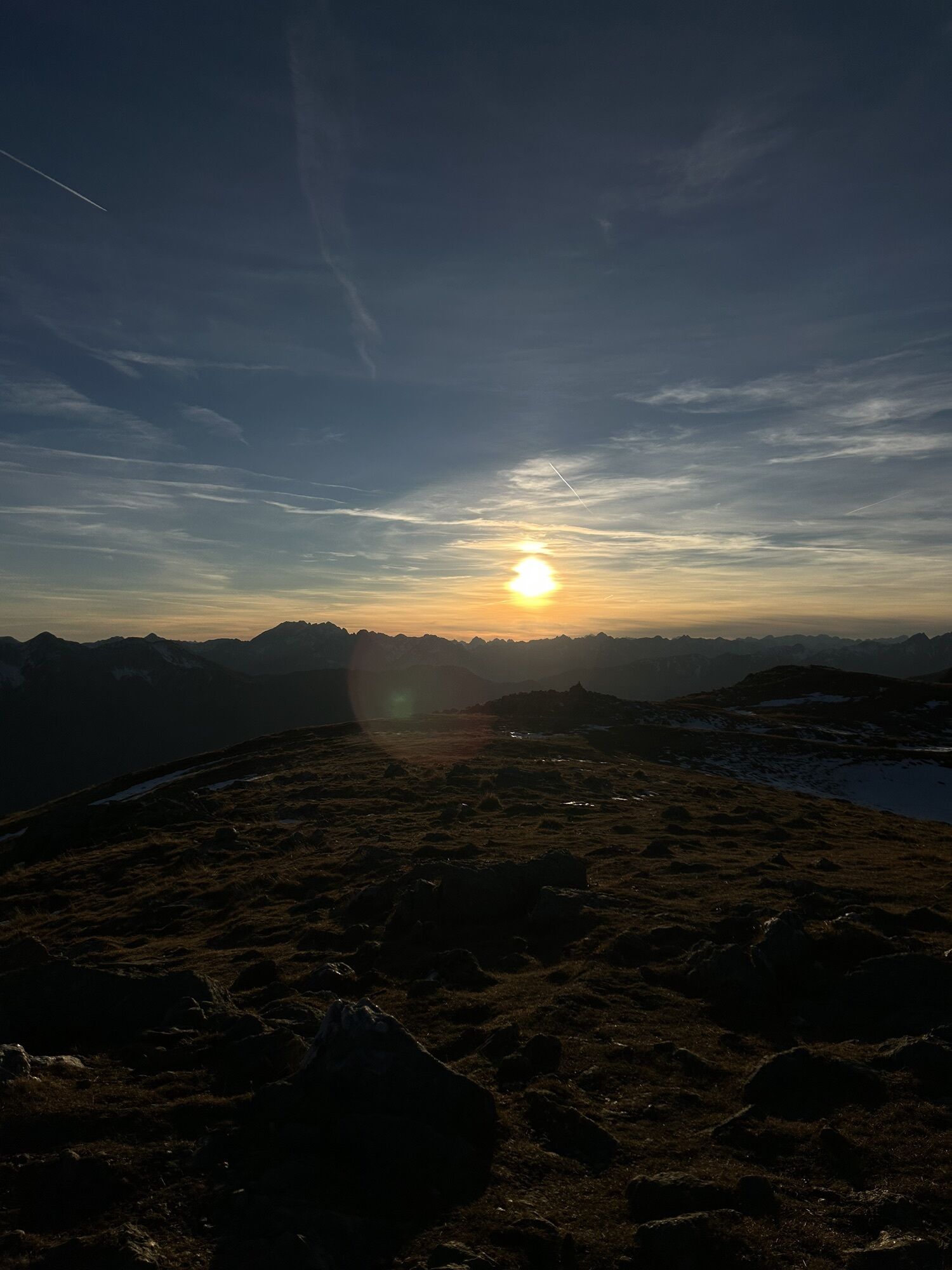
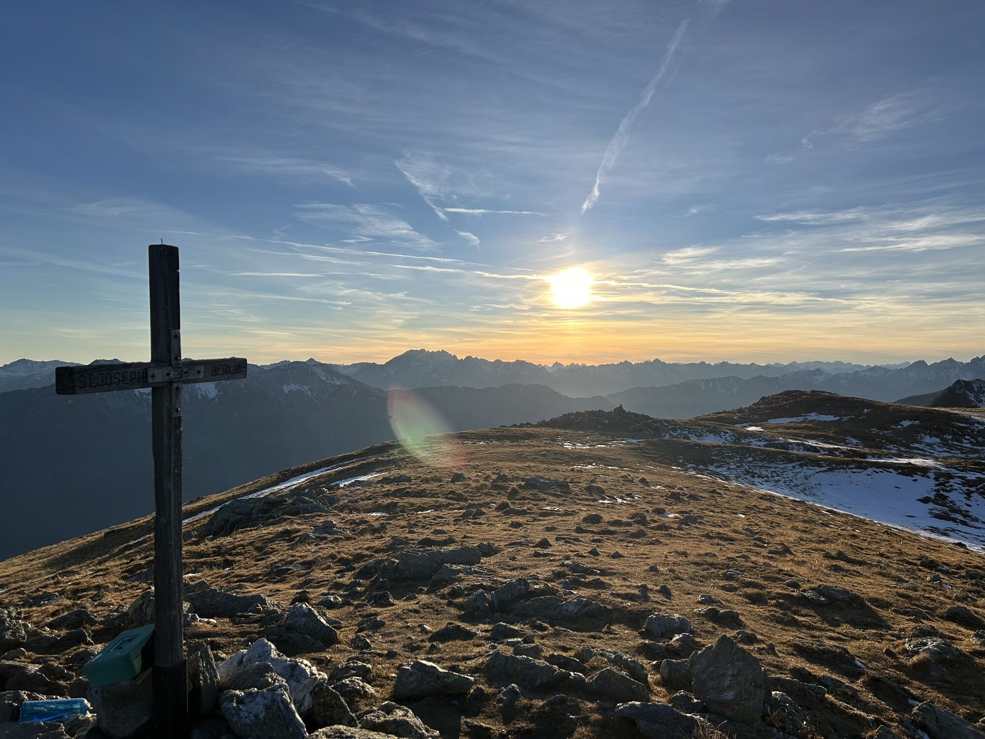
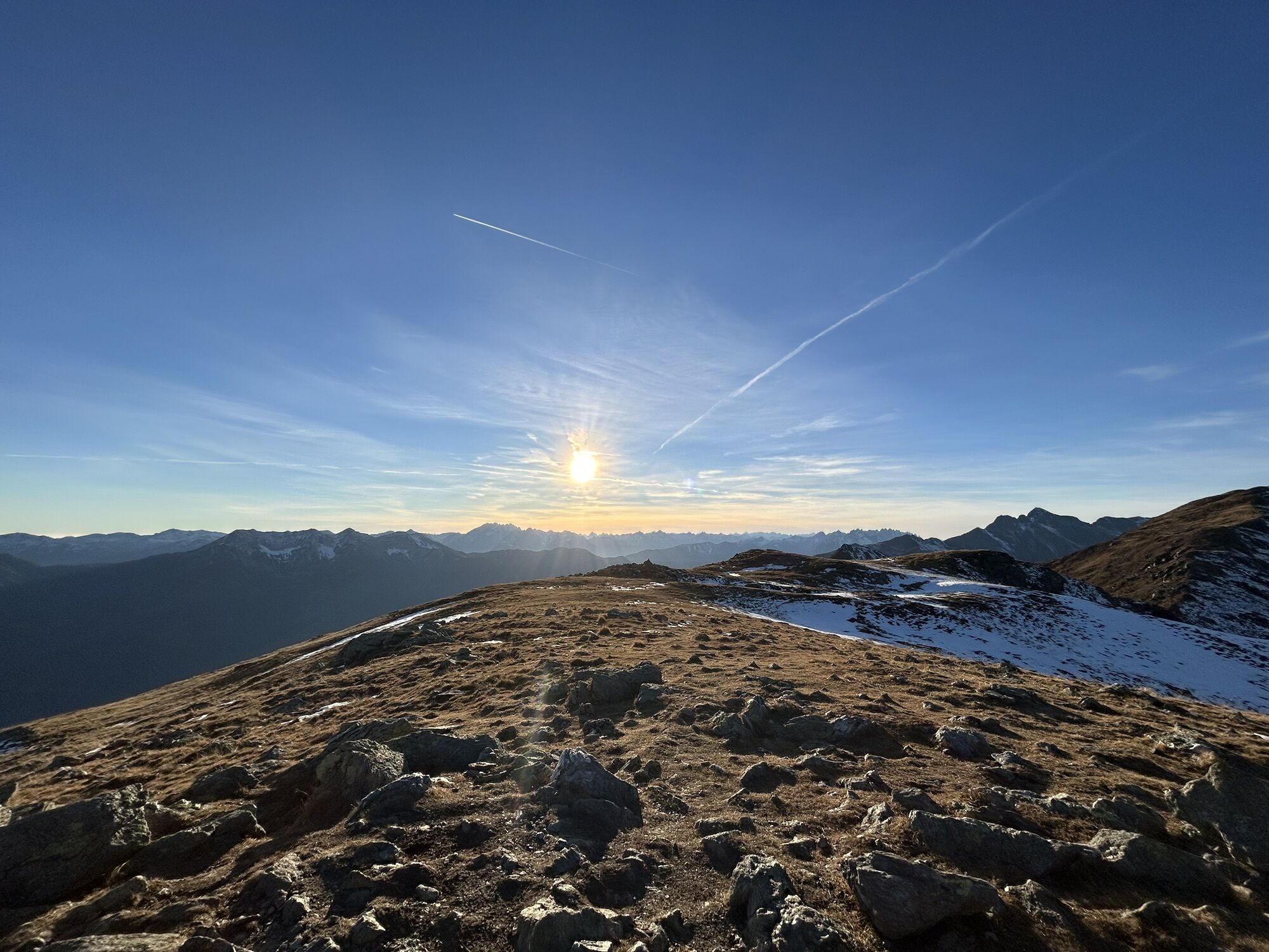
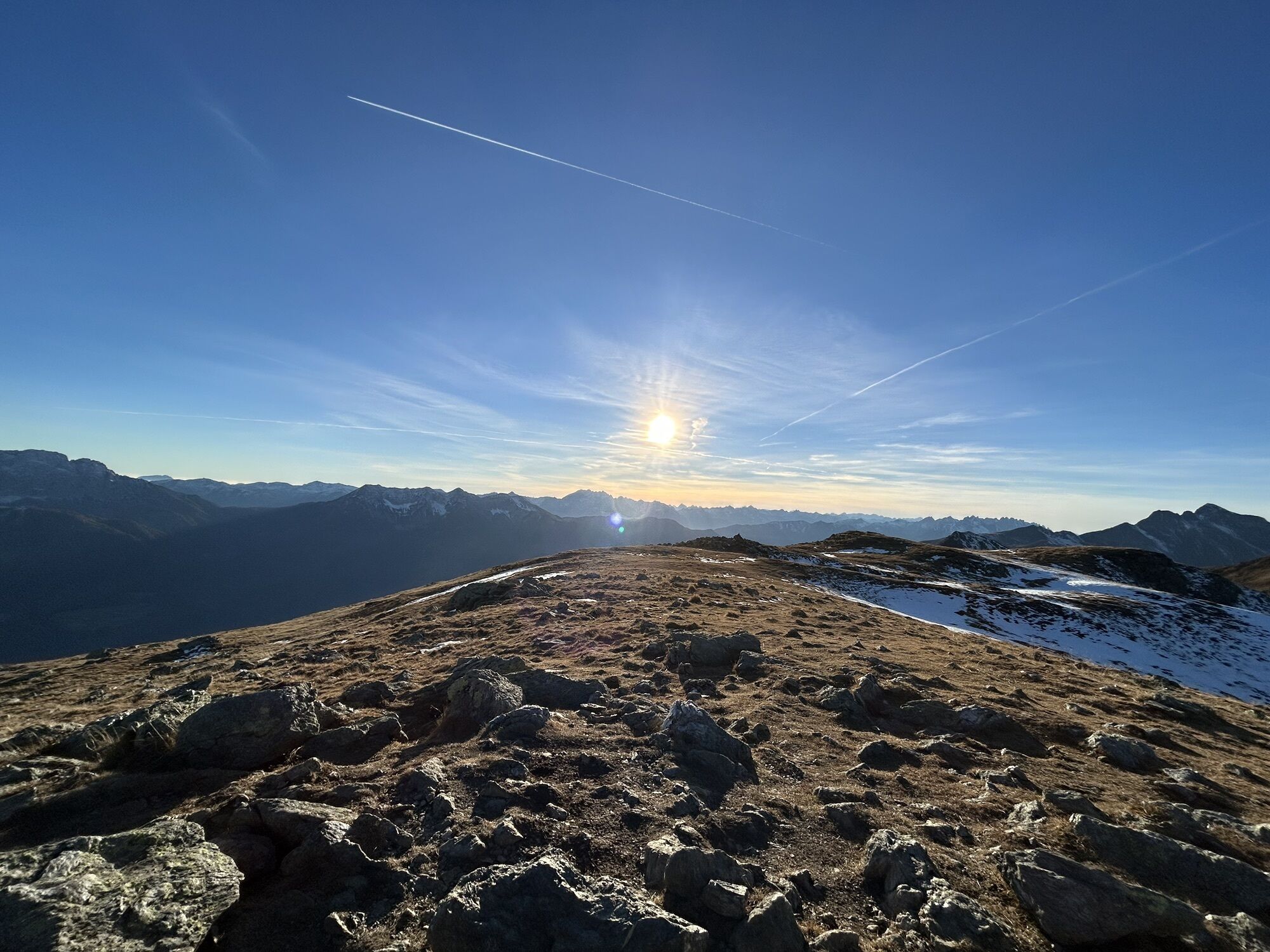
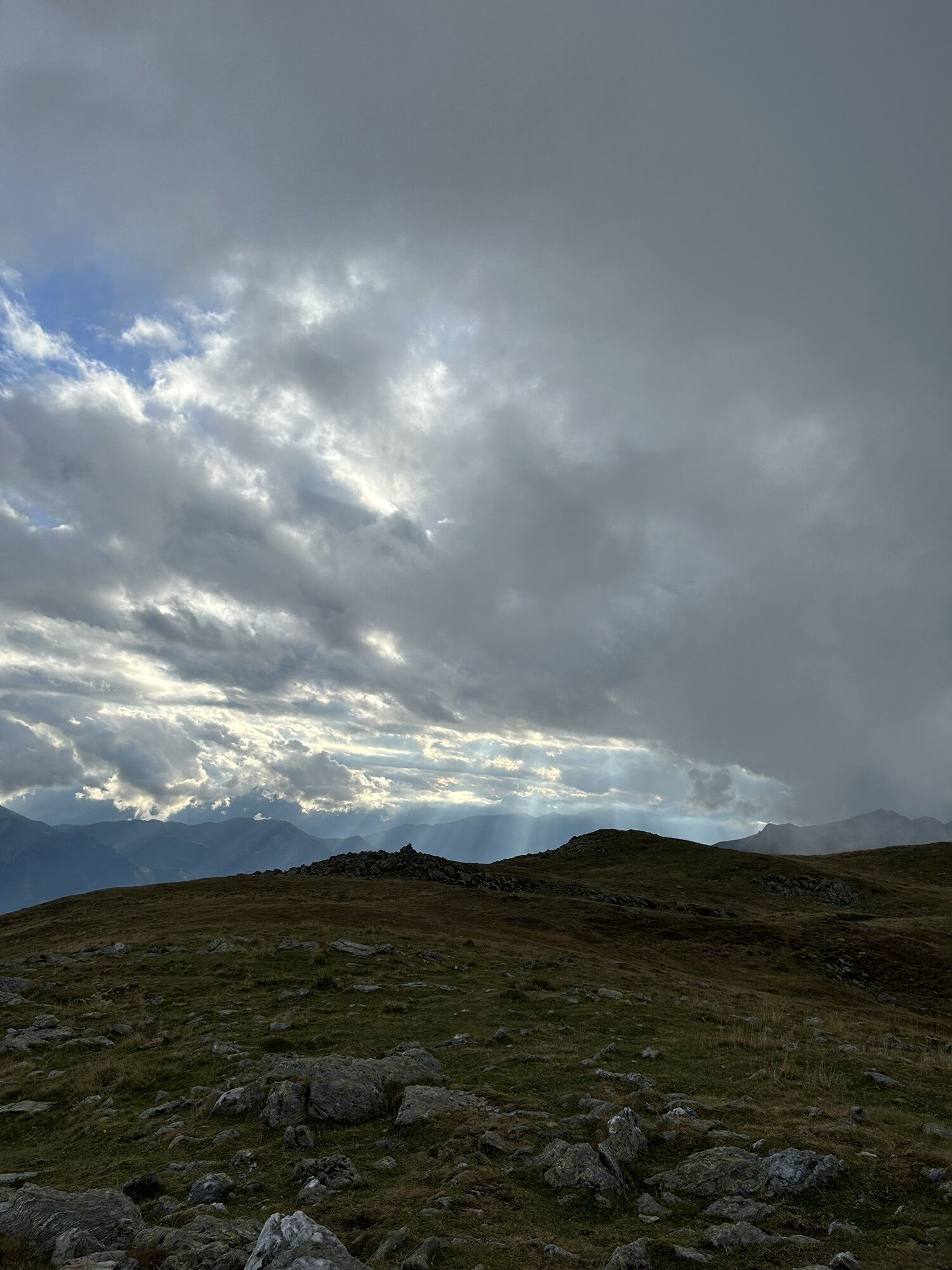
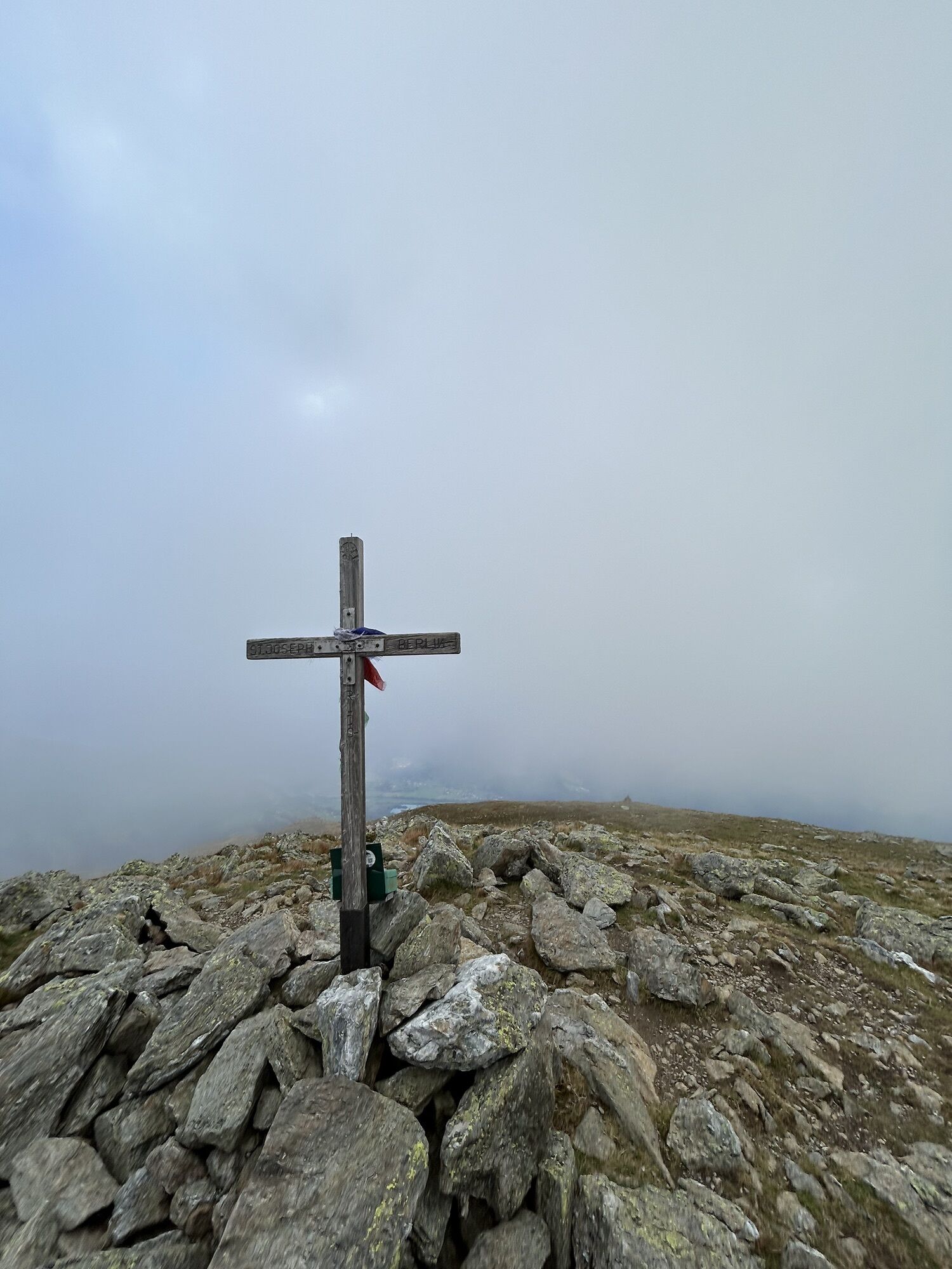
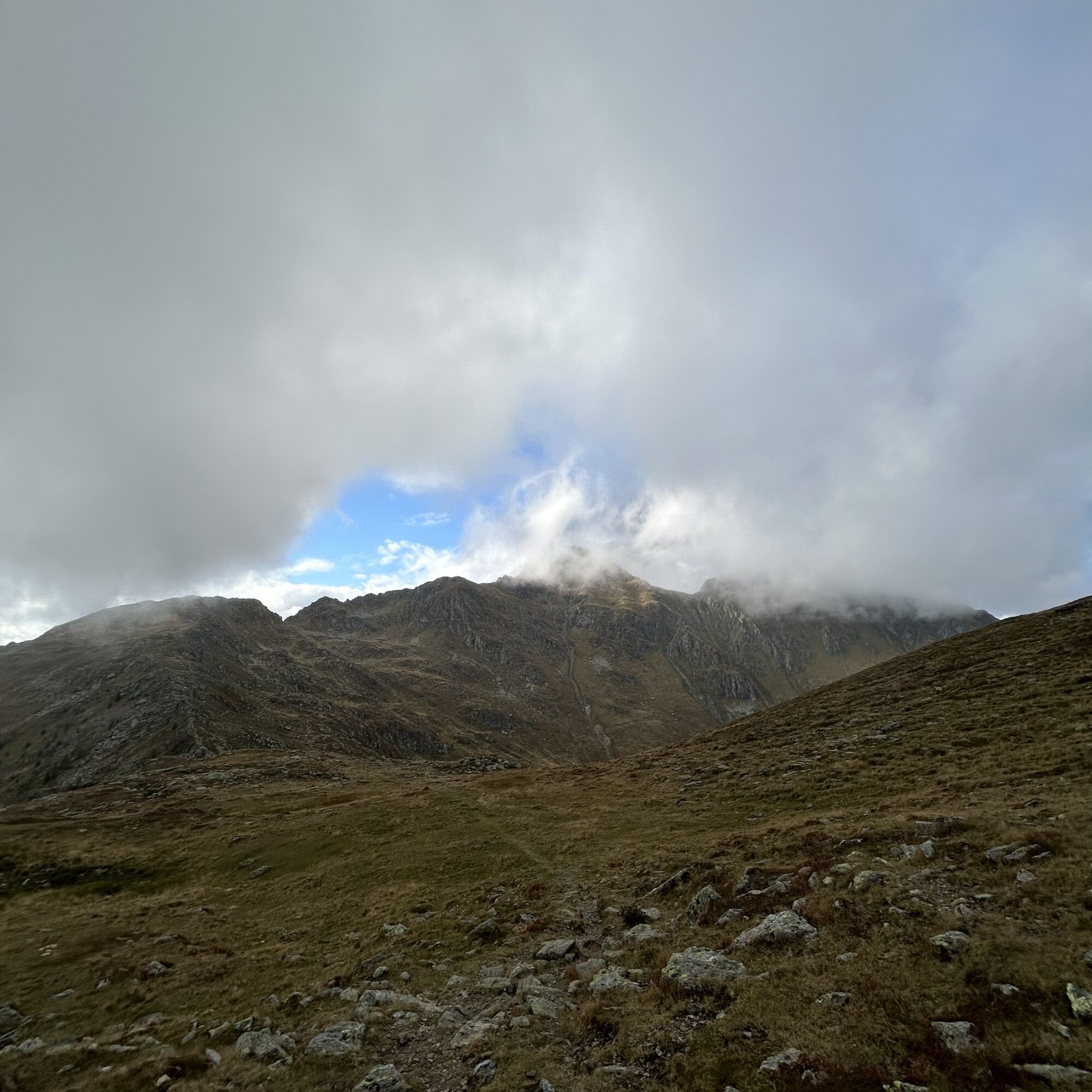
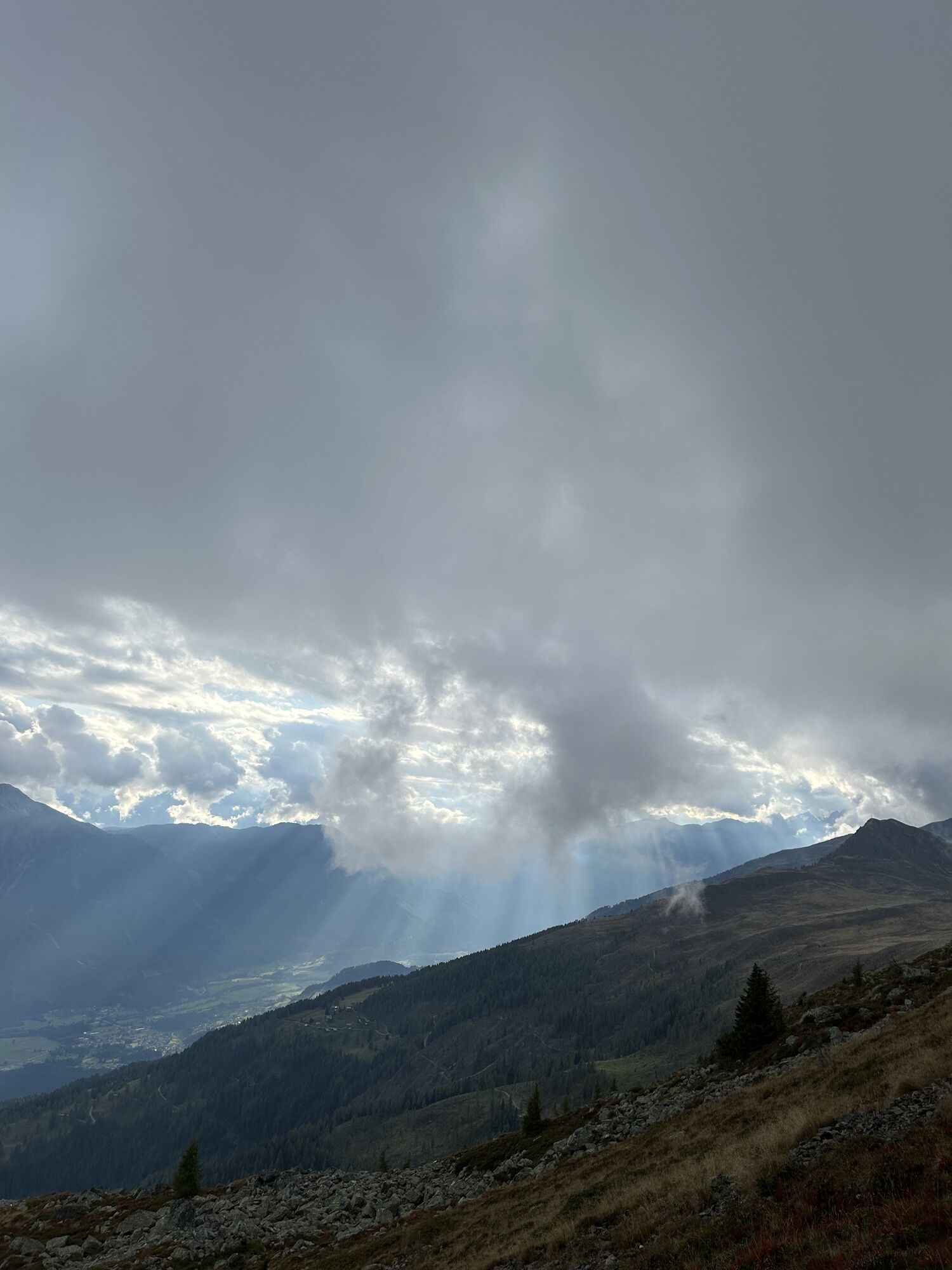
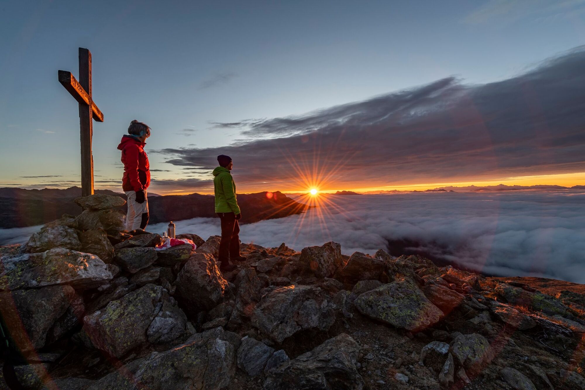
The Naßfeldriegel, 500 meters elevation above the Emberger Alm, is the ideal destination for a short and enjoyable hike. Botanists will particularly rave about it. Various dwarf shrubs (alpine rose, heather, lingonberry), gentian, cotton grass in wet areas, and many other plants thrive here. At the summit, the extensive panoramic view delights the hiker. Unpack a snack and just enjoy!
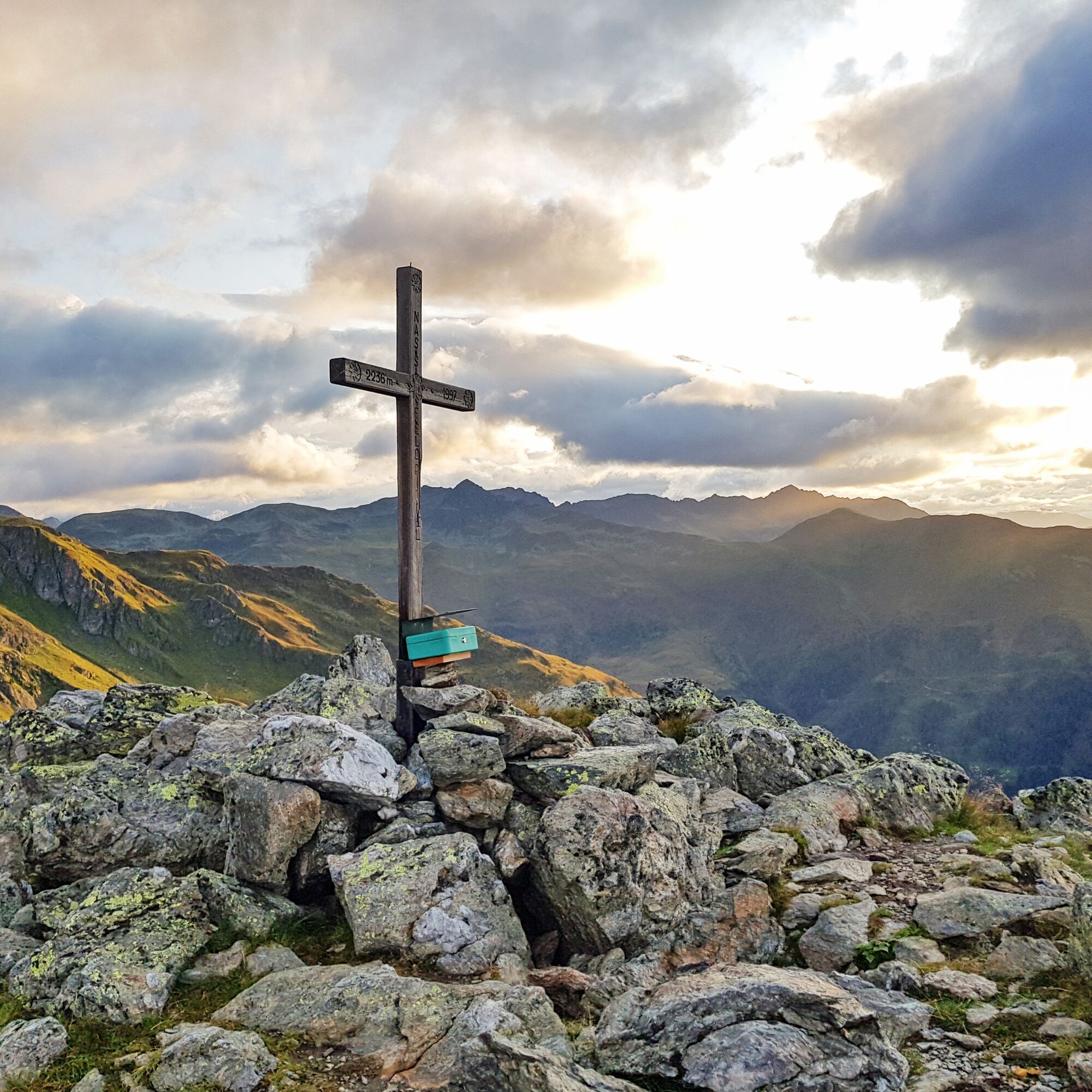
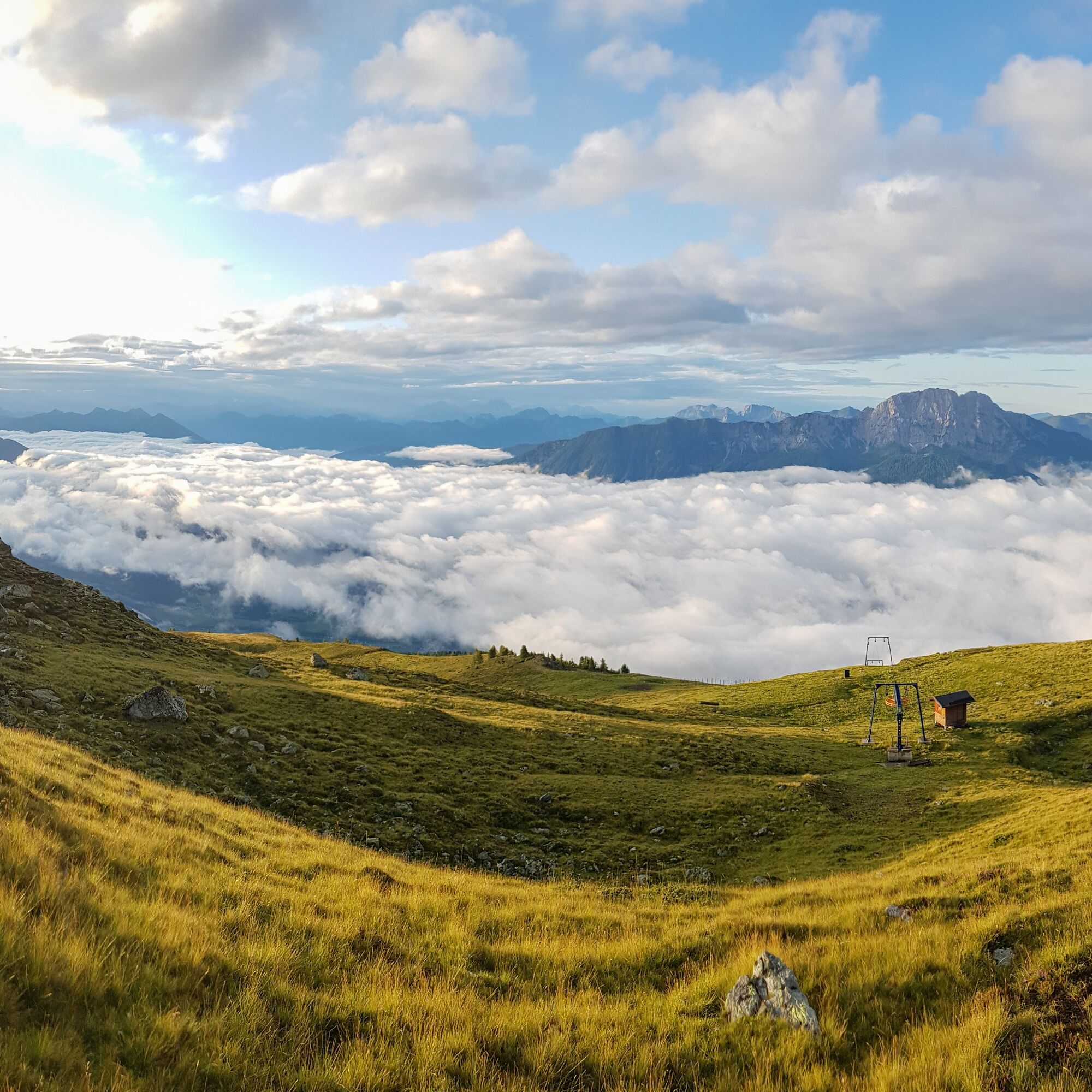
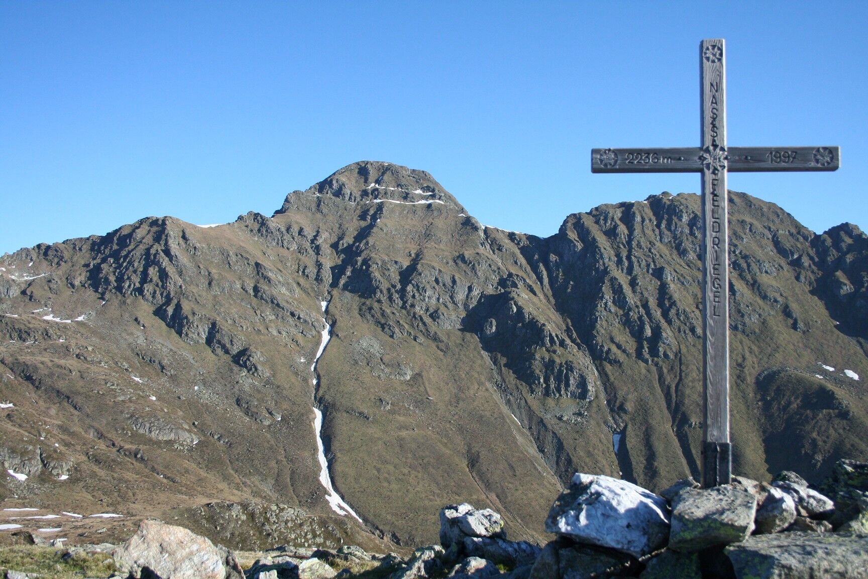
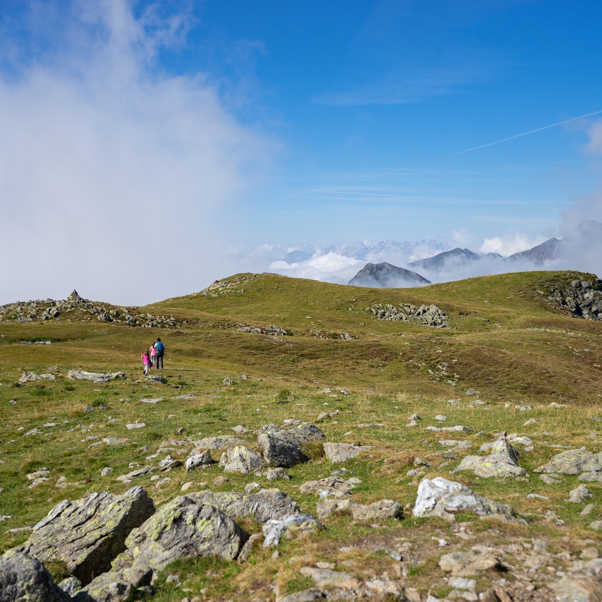
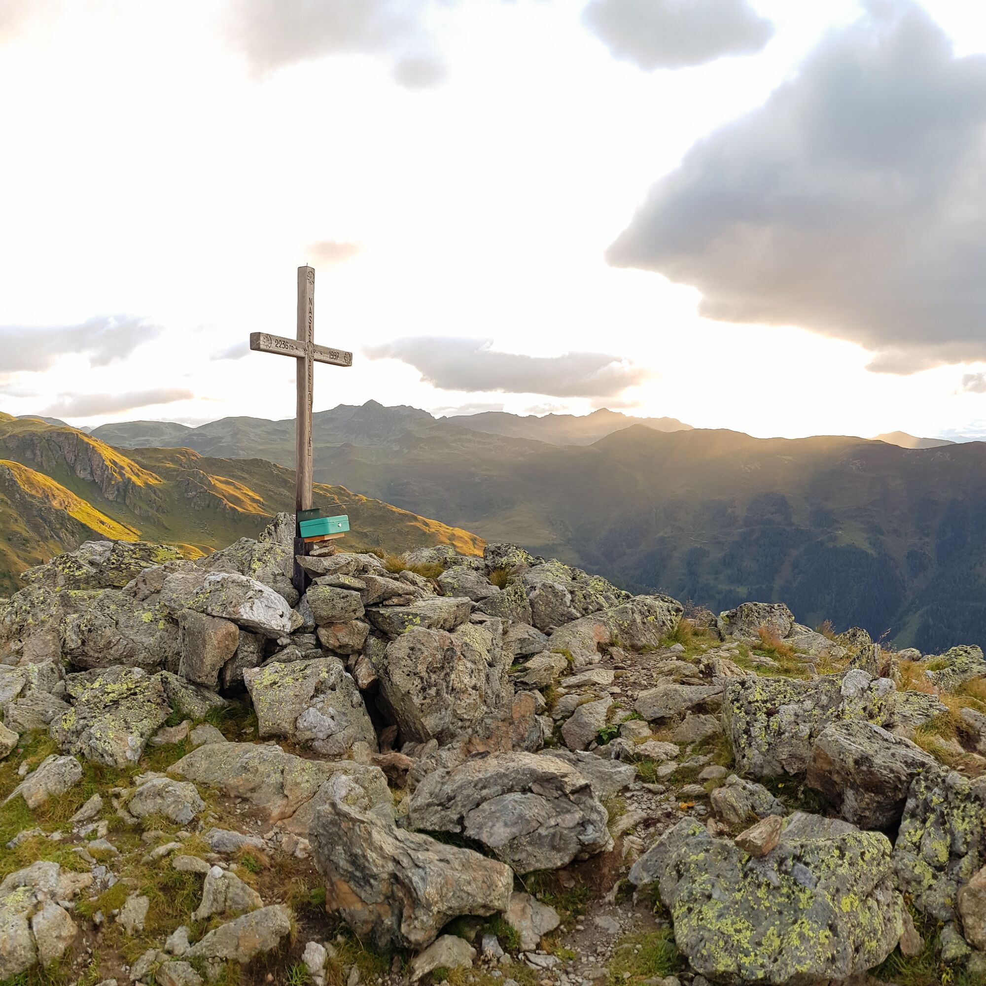
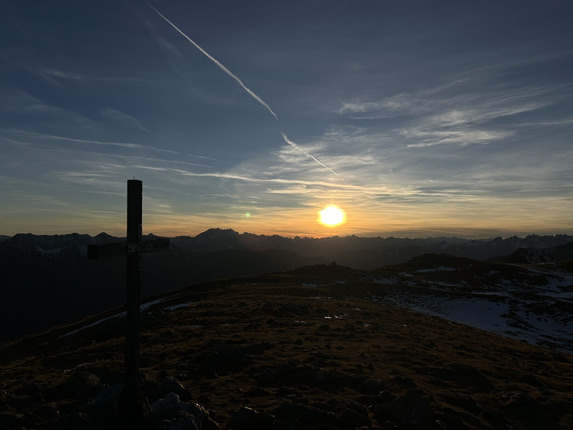
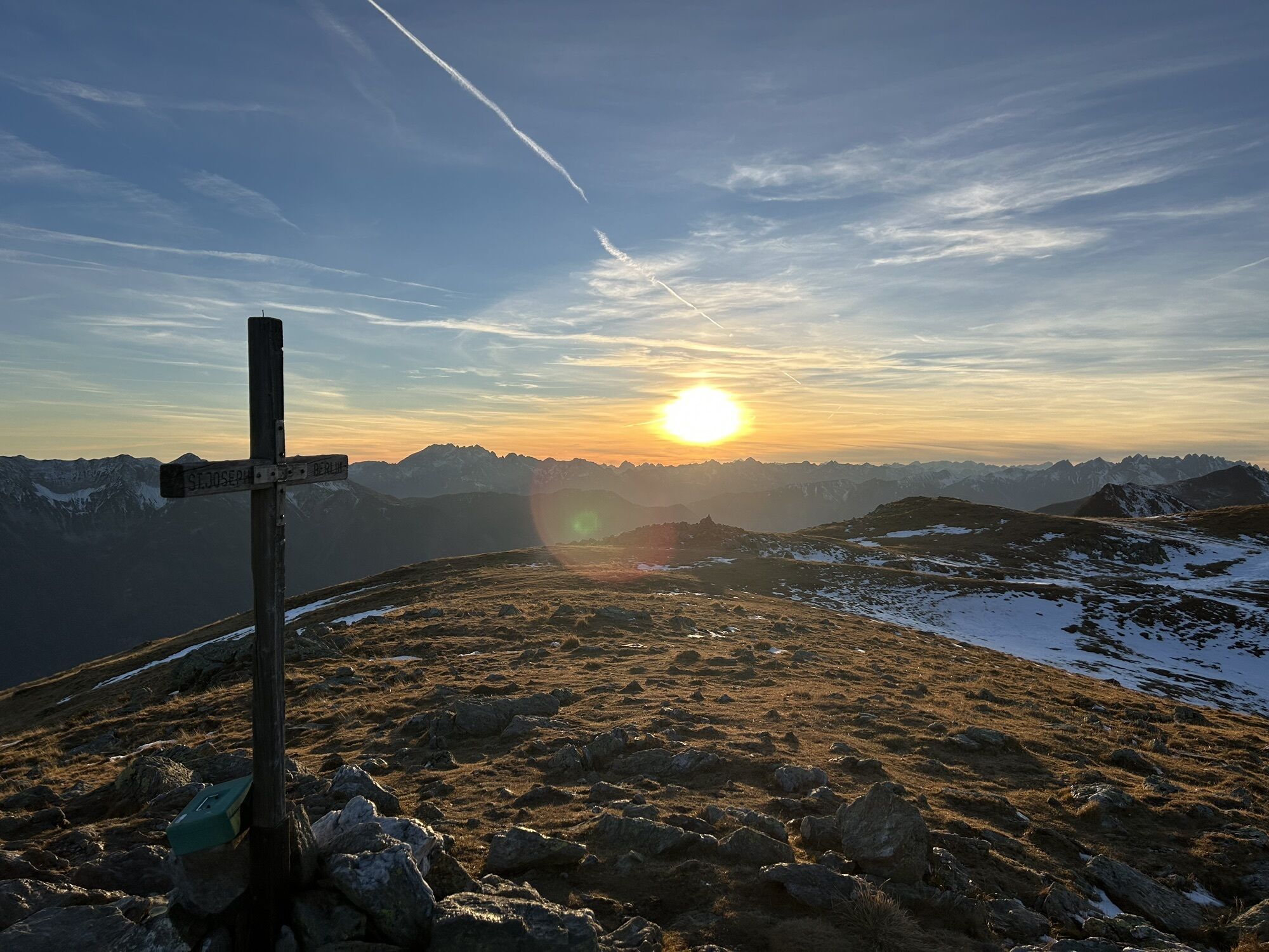
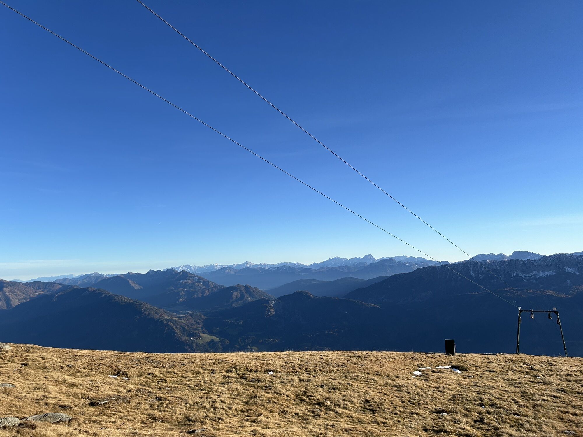
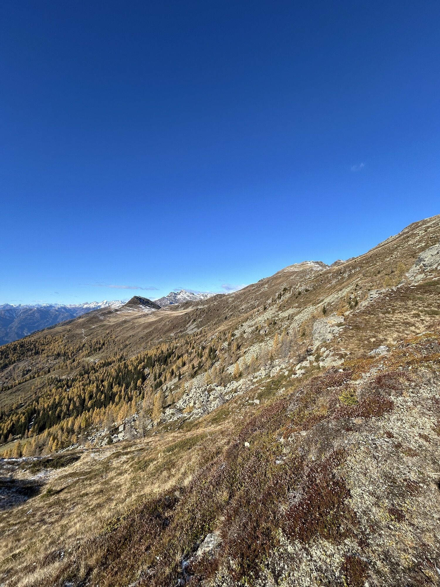
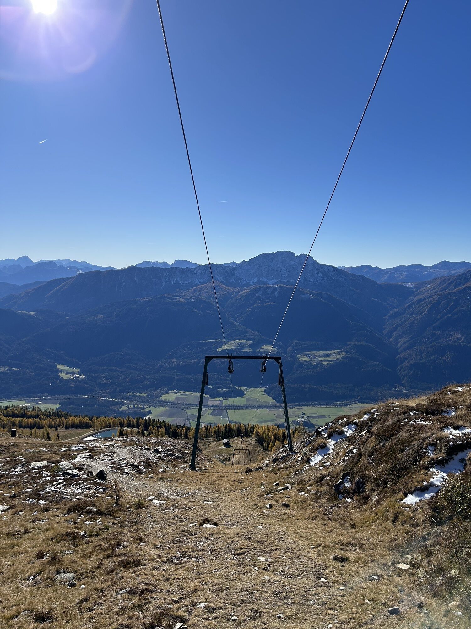
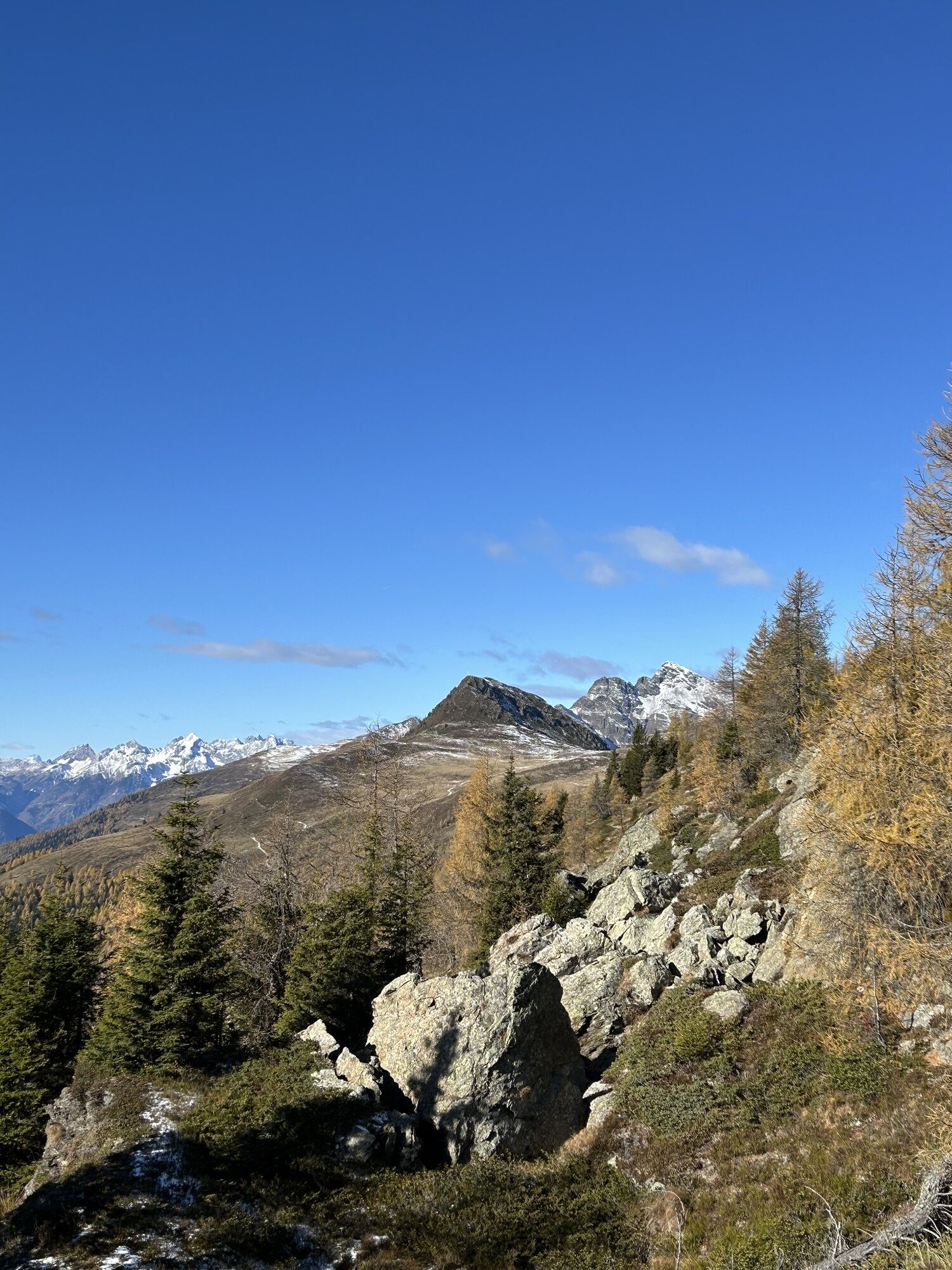
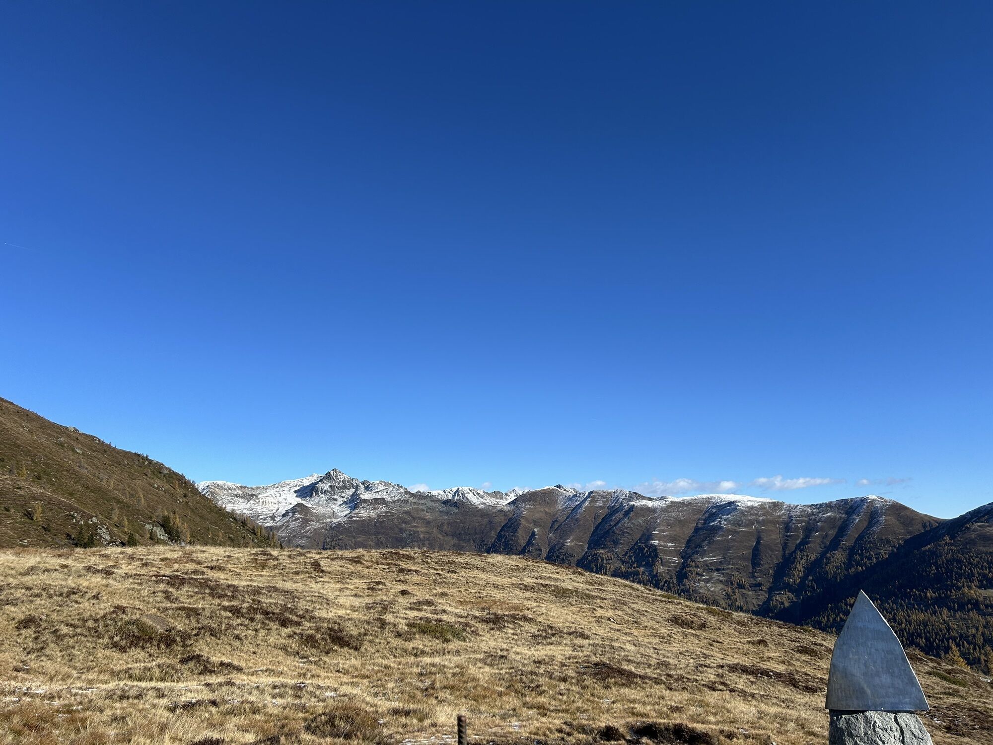
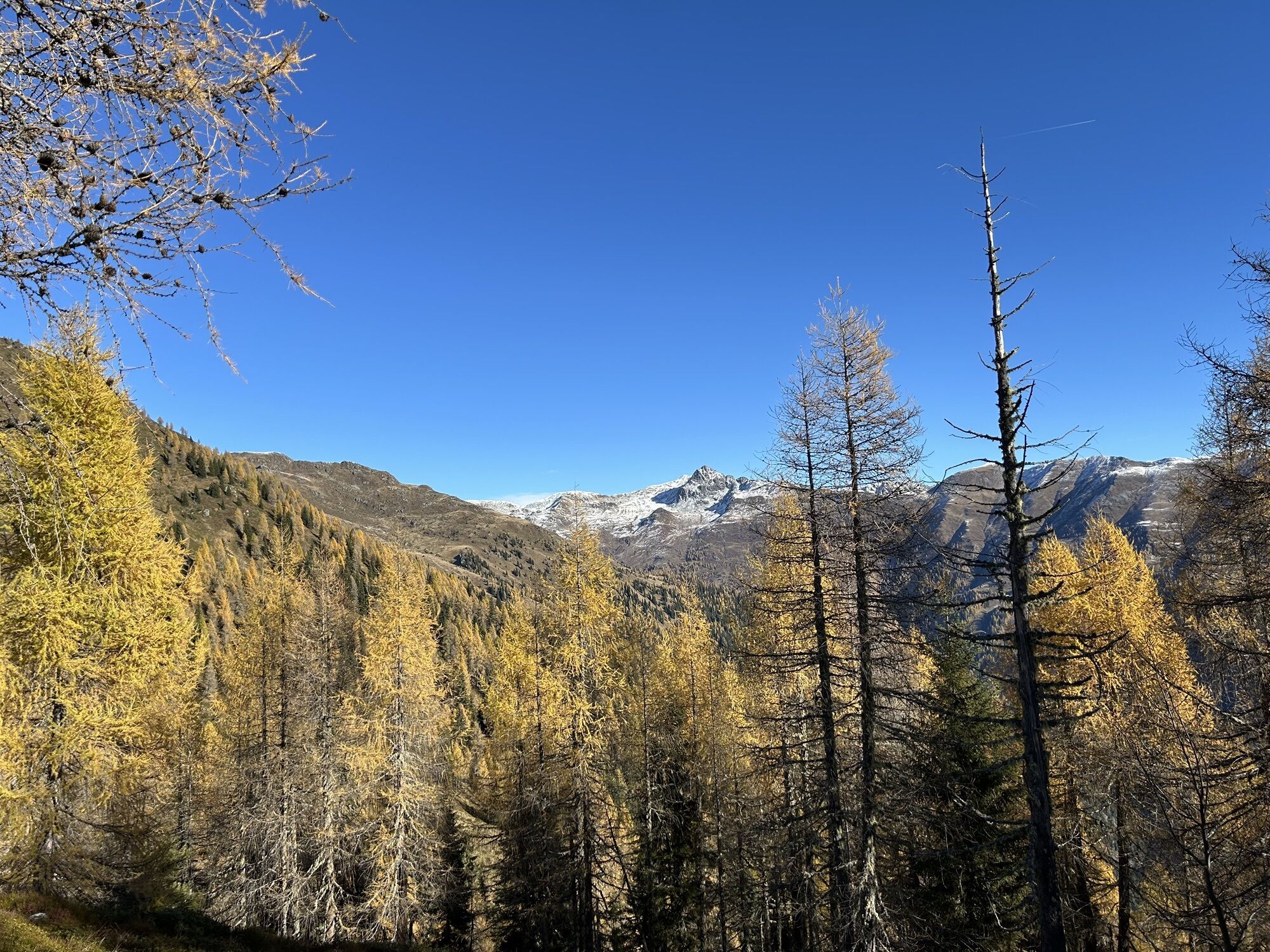
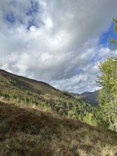
From the hiking starting point at the Emberger Alm, the hike follows the signpost "Naßfeldtörl" along a cart track initially on the Alm, then briefly uphill through a belt of forest (Attention: do not take the path directly to the Dühnhofen Hut). At around 1,840m above sea level, follow the signpost "Naßfeldtörl B6" again and turn left. The path leads along a ridge, not too steep, in a northwest direction to the top station of the ski lift. From here, hike directly north to the summit of the Naßfeldriegel (2,238m). Magnificent in the north stand the Hochtristen (2,536m) and Sensenspitz (2,480m) in front of the viewer’s eyes. To the east, the nearby Gaugen (2,195m) greets you. The return path follows the same route.
Tak
Tak
Tak
Sturdy footwear and sun protection
Don't forget sturdy footwear and sun protection!
From Sachsenburg via the B100 to Greifenburg, after the bridge over the Gnoppnitzbach (Billa) turn right. Signposts "Emberger Alm" guide you to the Alm.
The Emberger Alm is not directly accessible by public transport.
Free parking facilities at the Emberger Alm.
The tourism office is happy to provide further information. Tel. +43 4712 532-18 or info@bergimdrautal.at
Here you can find the hiking map of the area for download.
The Emberger Alm is very well known and popular among astronomers. Due to its altitude, absence of stray light, a weatherproof star hut, and many spots for personal telescopes, excellent conditions are created.
Kamery internetowe z trasy
-
Embergeralm - Almgasthof Fichtenheim
-
Embergeralm - Almgasthof Fichtenheim
-
Greifenburg Badesee
-
Berg im Drautal - Hotel Glocknerhof
-
Berg im Drautal - Hotel Glocknerhof
-
Berg im Drautal - Hotel Glocknerhof
-
Berg im Drautal - Hotel Glocknerhof
-
Berg im Drautal - Hotel Glocknerhof
-
Berg im Drautal - Hotel Glocknerhof
-
Berg im Drautal - Hotel Glocknerhof
-
Berg im Drautal - Hotel Glocknerhof
-
Café Hassler
-
Emberger Alm
-
Emberger Alm


Popularne wycieczki w okolicy
-
4,7
Drau Cycle Path R1
światłoJazda na rowerze 75,9 km -
4,0
Emberger Alm - Hochtristen
średniWędrówka 9,50 km -
4,5
WY_W2 hike to the Alm behind the Brunn
średniWędrówka zimą 3,04 km -
4,8
Mühldorfer Alm - Kleiner Salzkofel
średniWędrówka 11,6 km -
4,7
Teuchlspitz
średniWędrówka 10,8 km -
4,8
Weiße Wand - Alm hinterm Brunn
Mountainbike 22,1 km -
4,2
The Glockner cycle route R8
średniJazda na rowerze 89,7 km -
4,8
LS_W7 "Promenade Path"
światłoBieganie 6,28 km -
5,0
Rundweg am See
światłoWędrówka 9,78 km -
4,4
Fahrradtour Weissensee
światłoJazda na rowerze 16,2 km
Wędrówki i tropienie


Nie przegap ofert i inspiracji na następne wakacje
Twój adres e-mail została dodana do listy mailingowej.