







SW_W2 Naggl-Trail
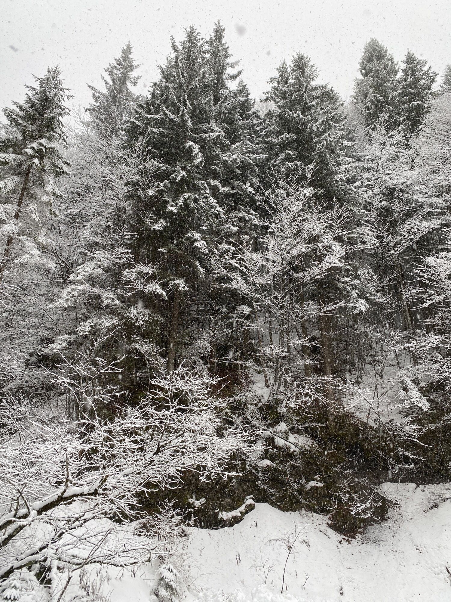
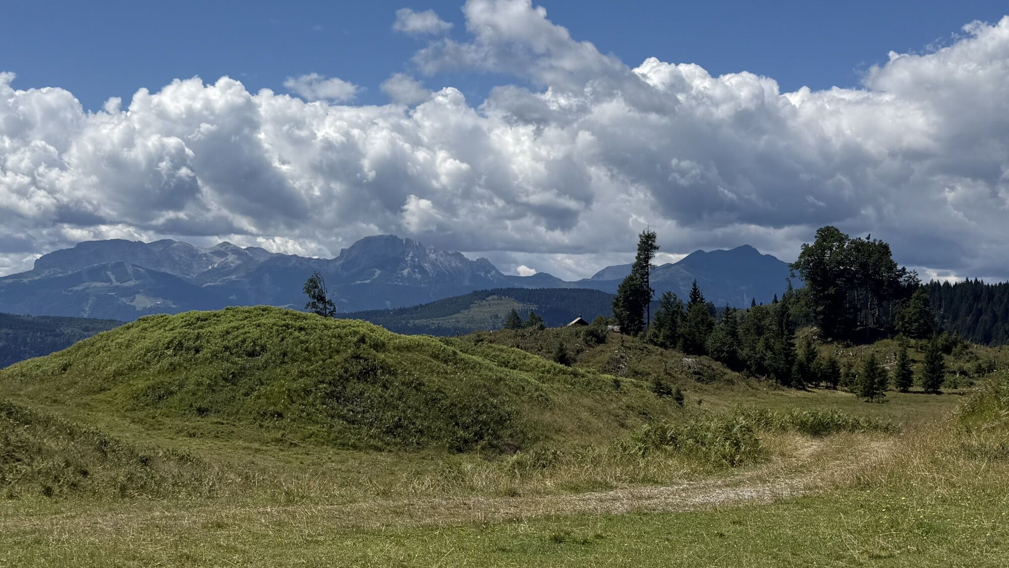
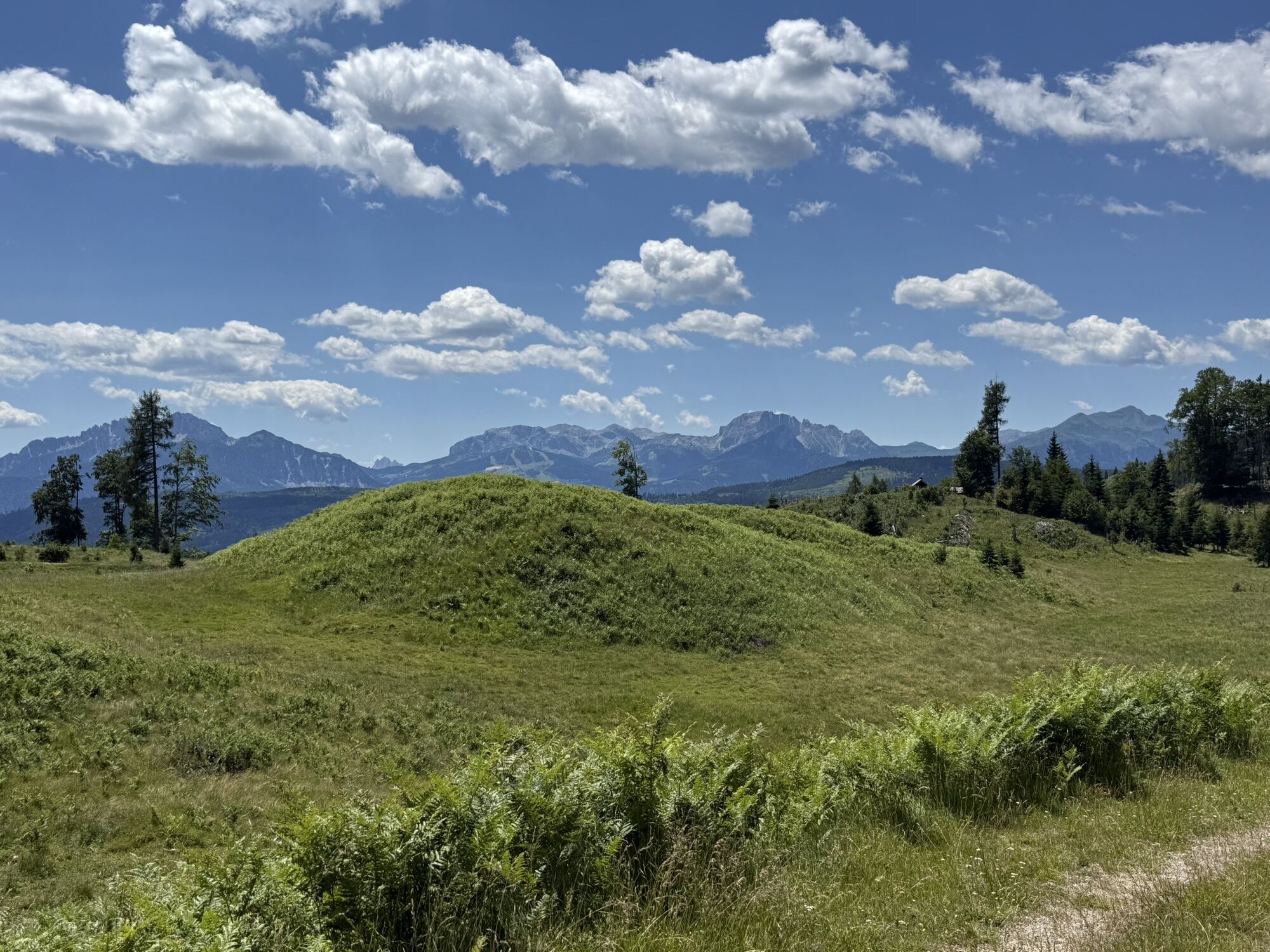
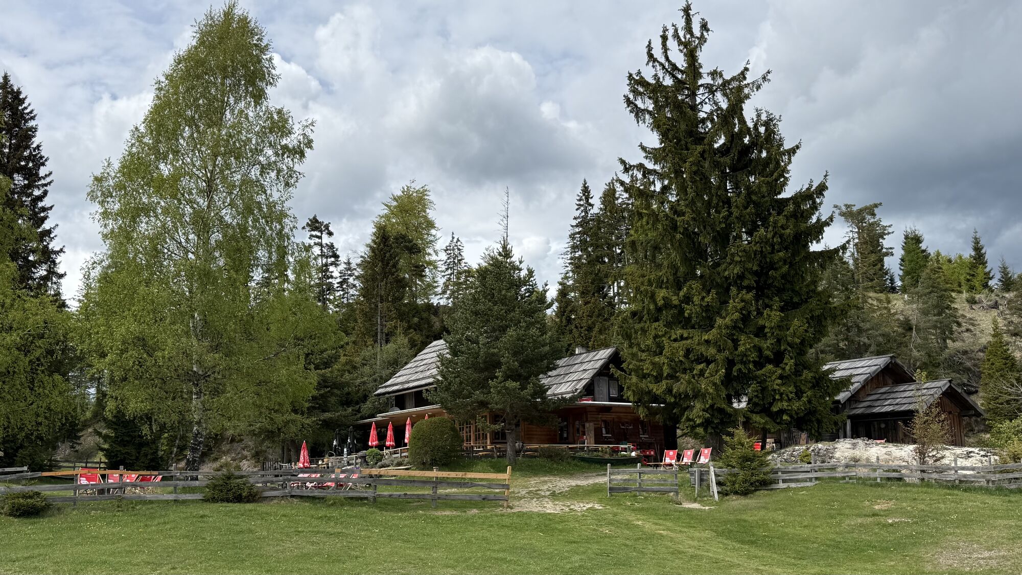
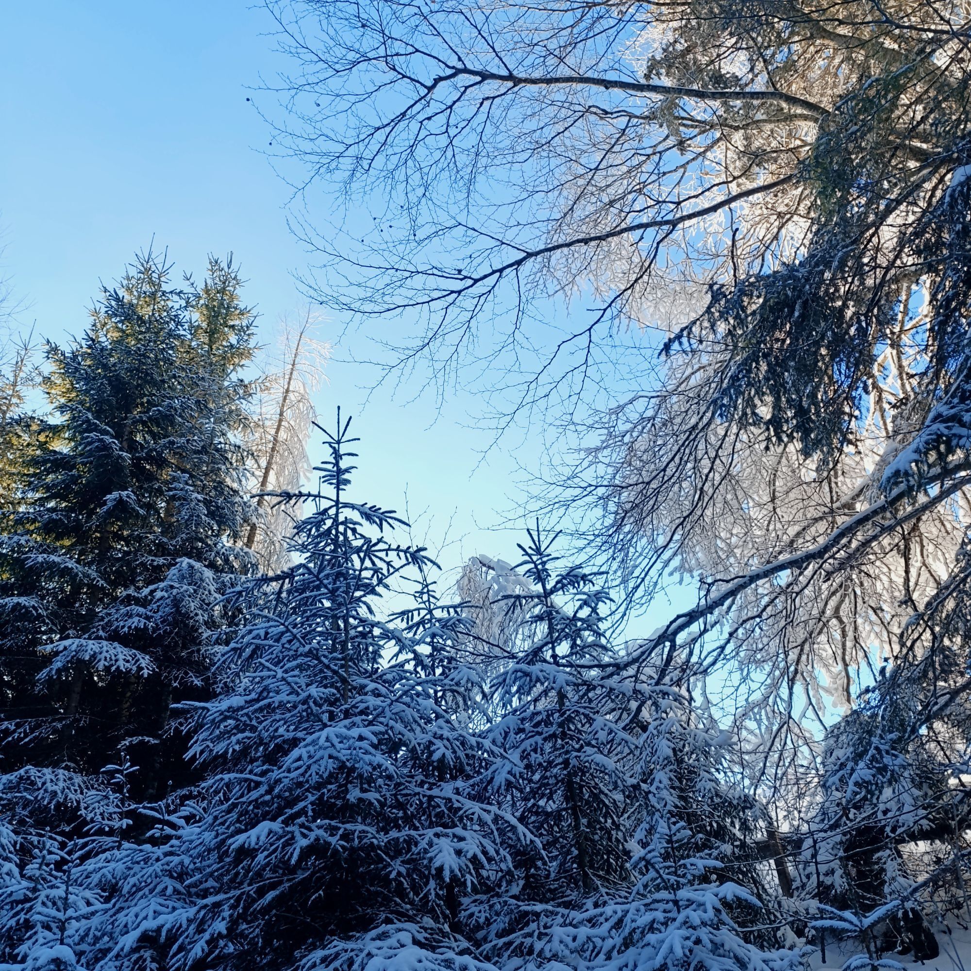
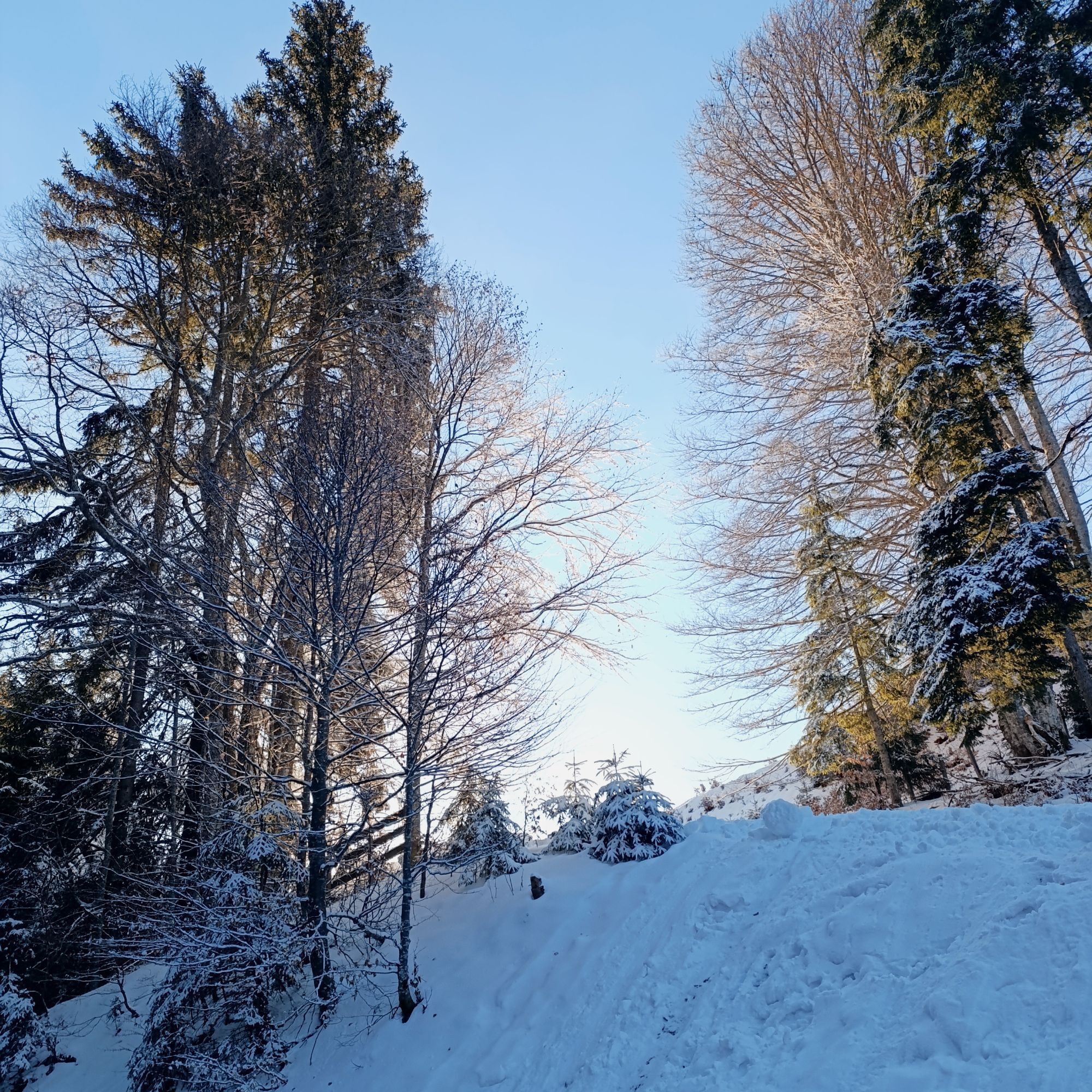
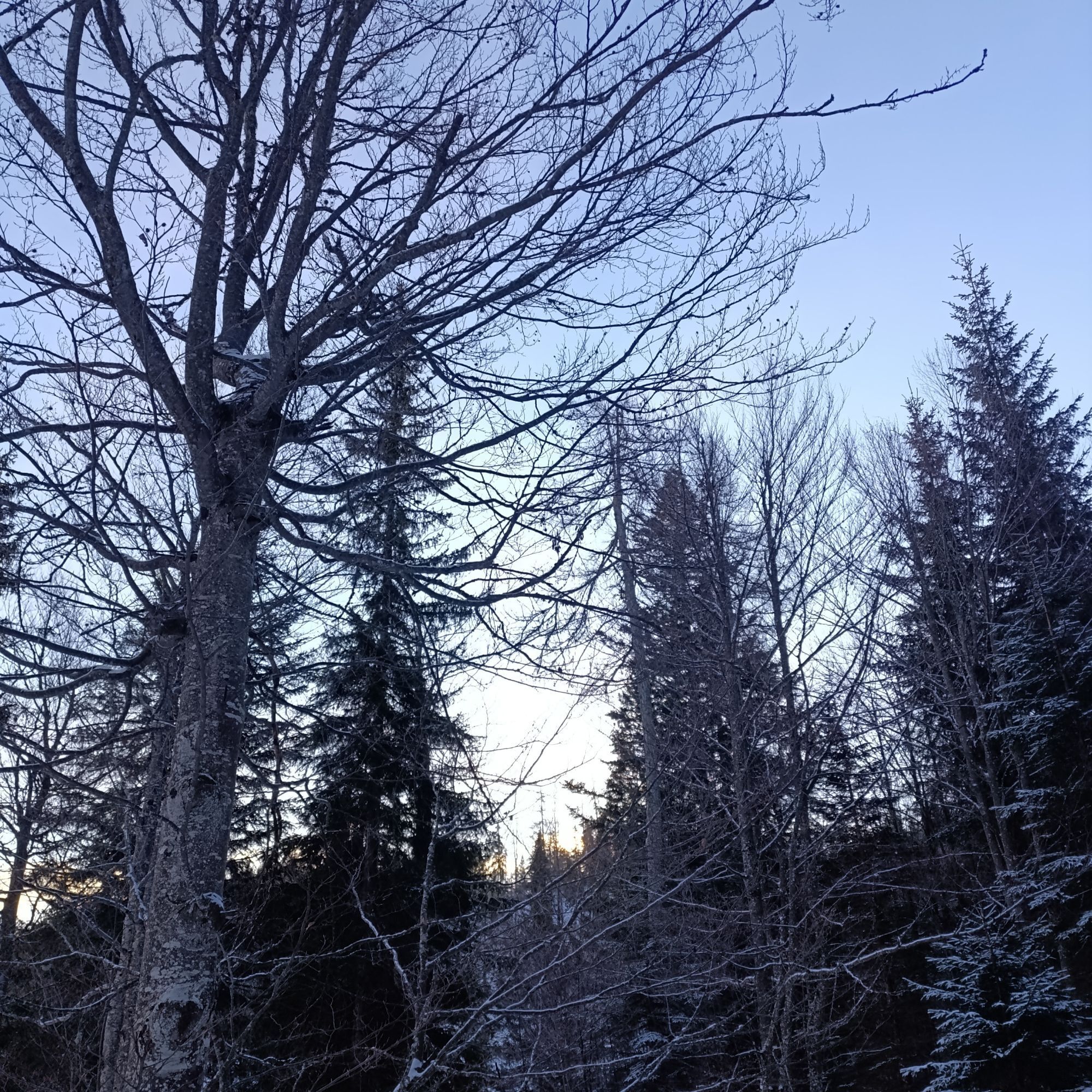
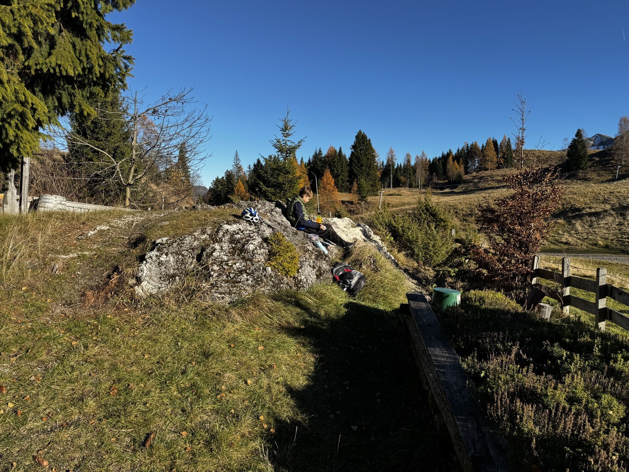
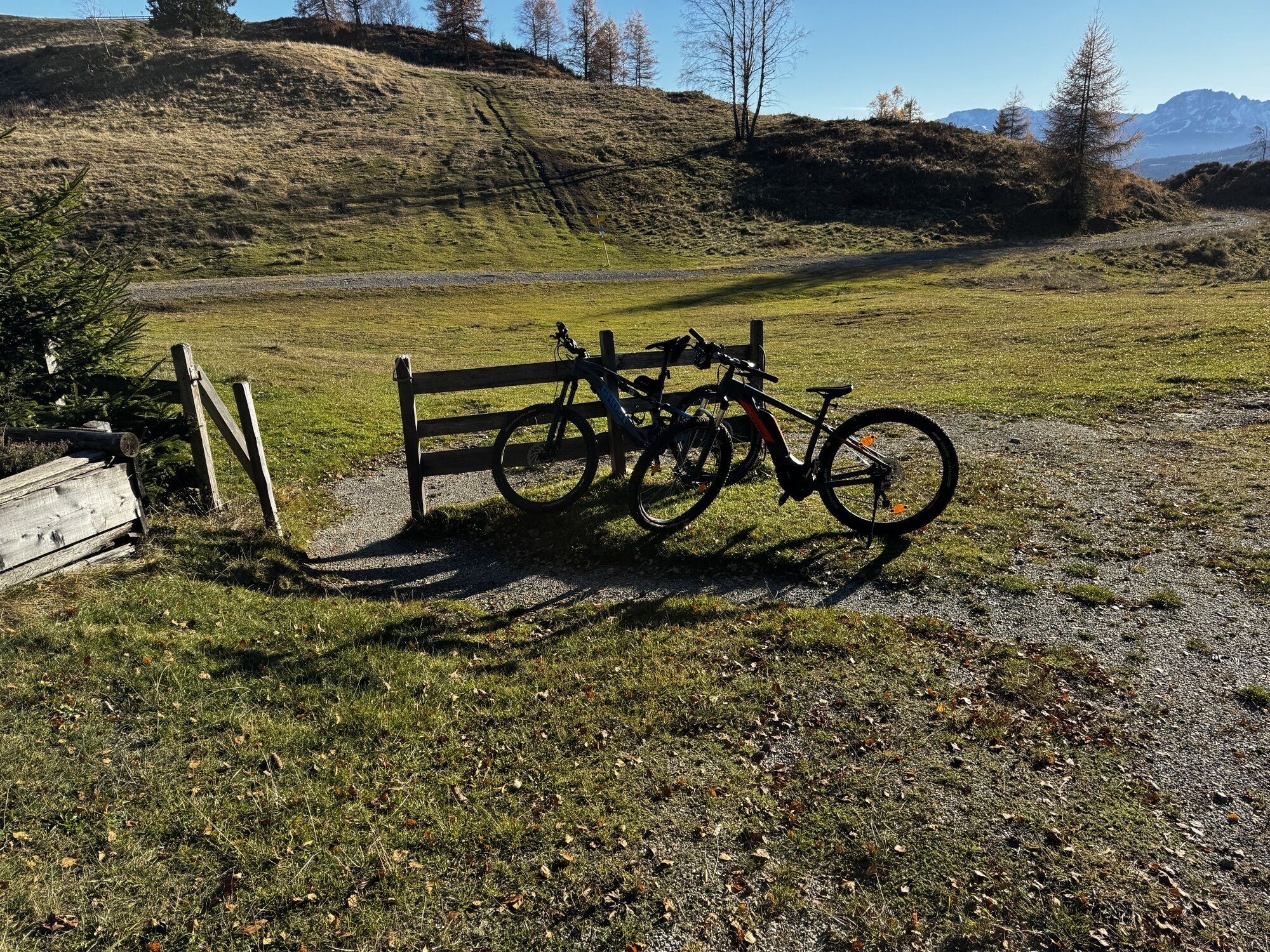
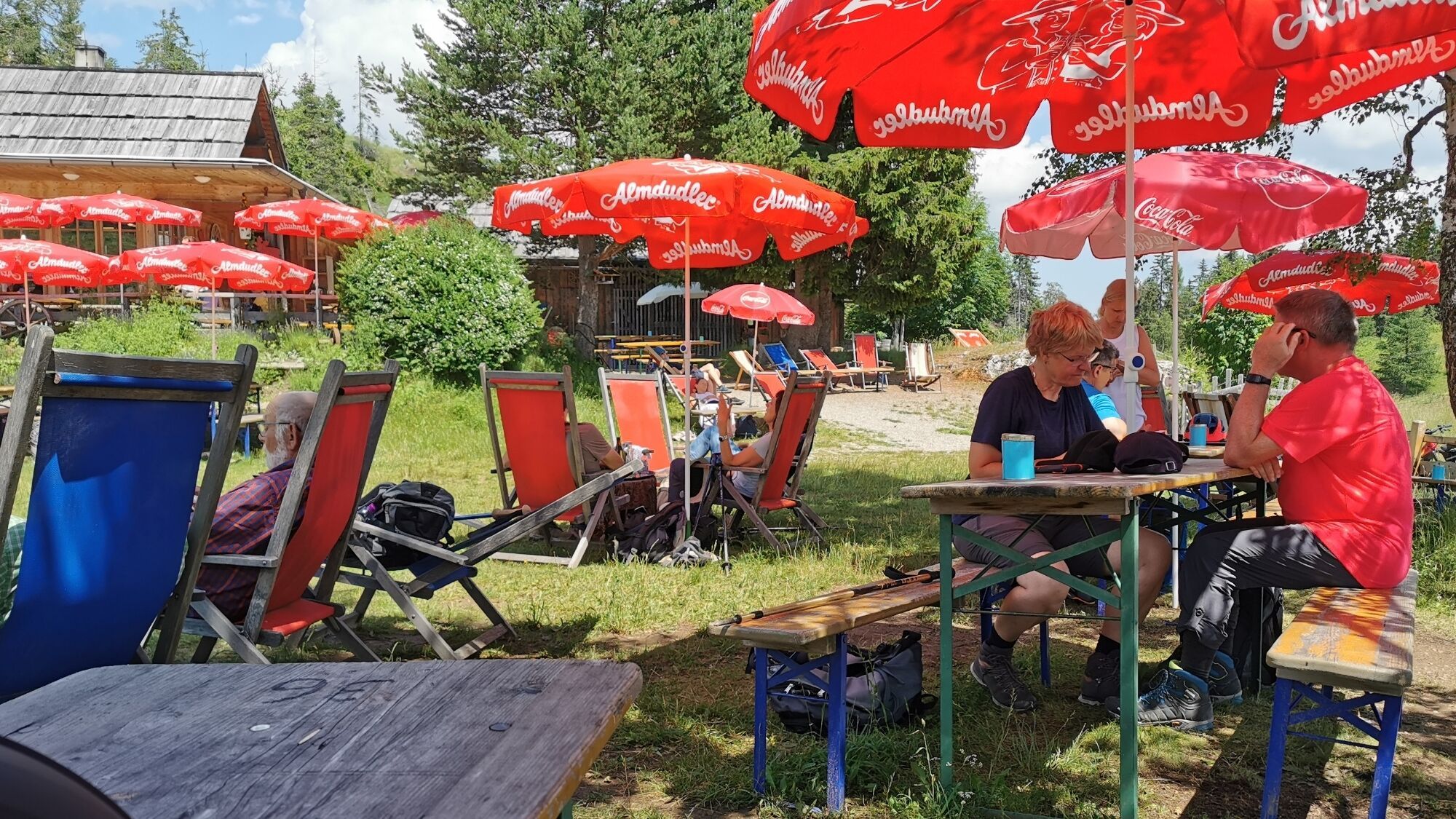
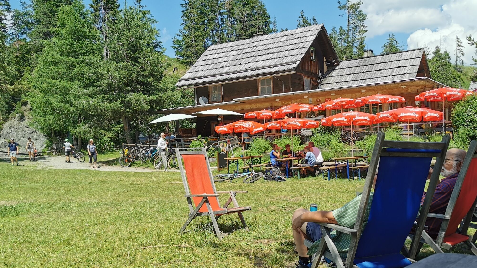
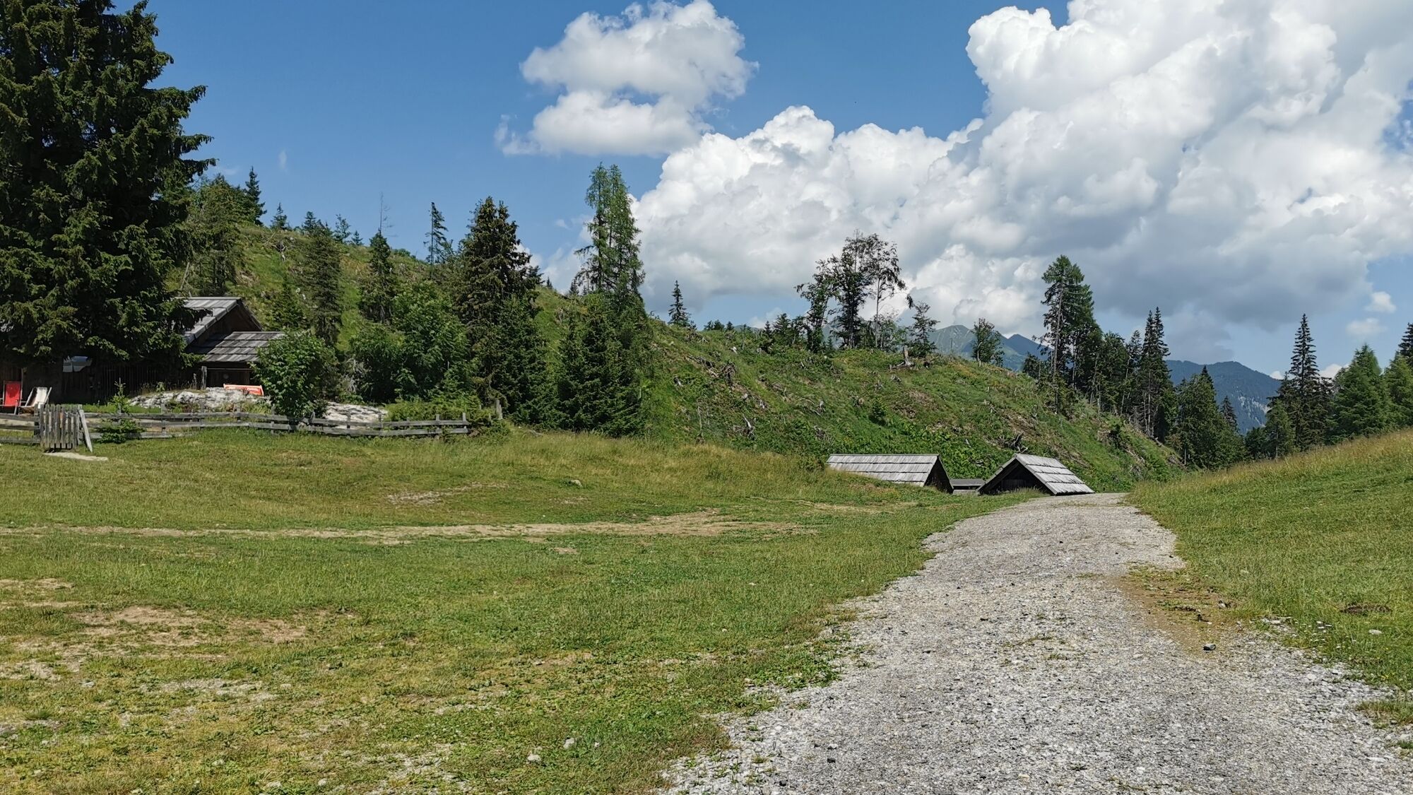
This ascent route starts directly at the valley station of the cable car. Leads the first approx. 1.5 km along the forest road to the Naggerl Alm and then turns east. After a further approx. 300 meters...
This ascent route starts directly at the valley station of the cable car. Leads the first approx. 1.5 km along the forest road to the Naggerl Alm and then turns east. After a further approx. 300 meters on the forest road, the route turns right onto the MTB trail. Follow this until the Naggler Alm.
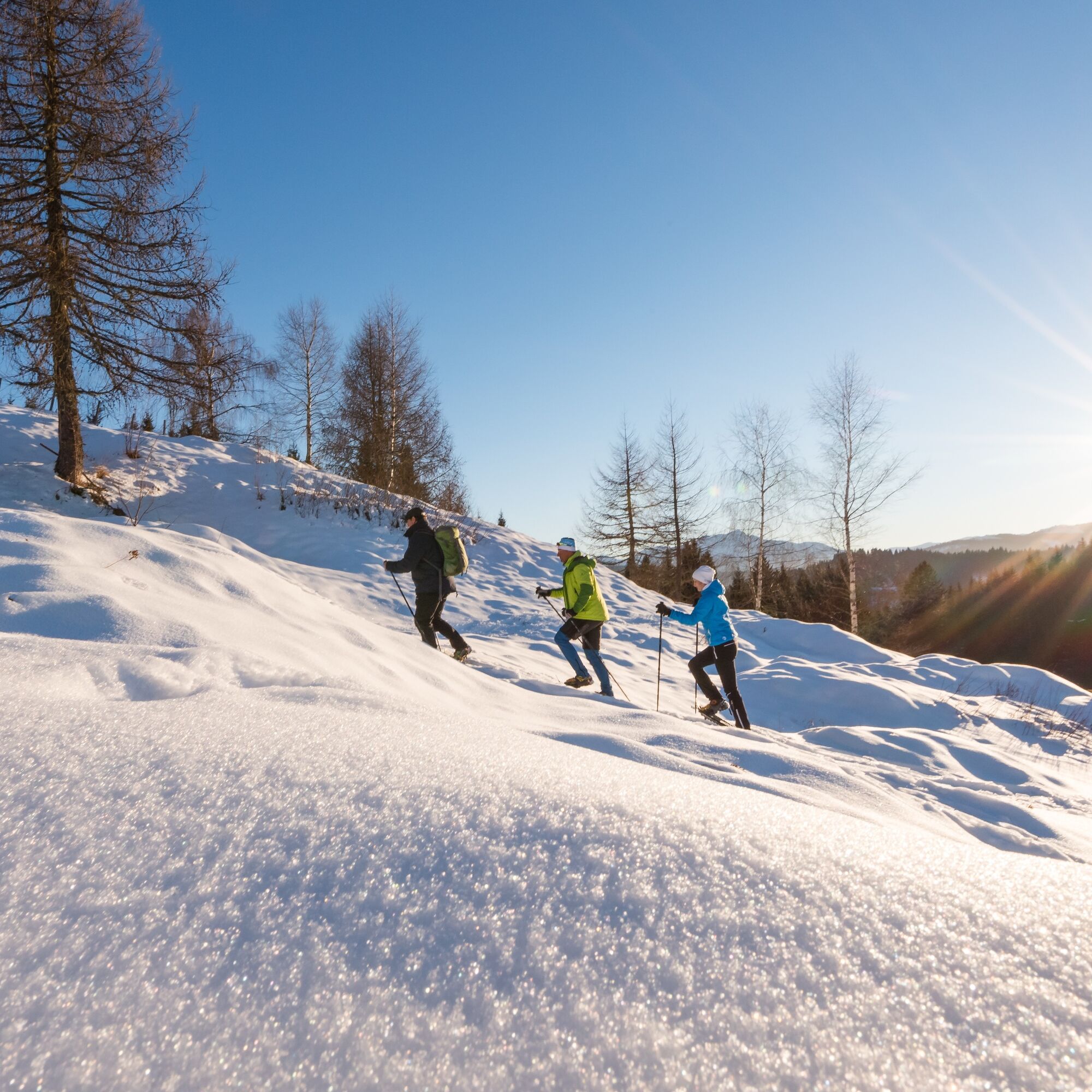

No special equipment necessary. We recommend bringing something to drink. Since this route is not snow groomed, good snow conditions must be ensured as some sections are also located in the forest.
On the first 1.5 km, occasional winter hikers or sledders may come the other way.
A10 to Lendorf, then B100 to Greifenburg and then via B87 to Weissensee.
By train to Greifenburg/Weissensee station. Then by bus or station shuttle to Techendorf.
Large parking lot at the Weissensee cable car. Day ticket €9,- / 1 hour €1.80. Free when using the Weissensee cable car.
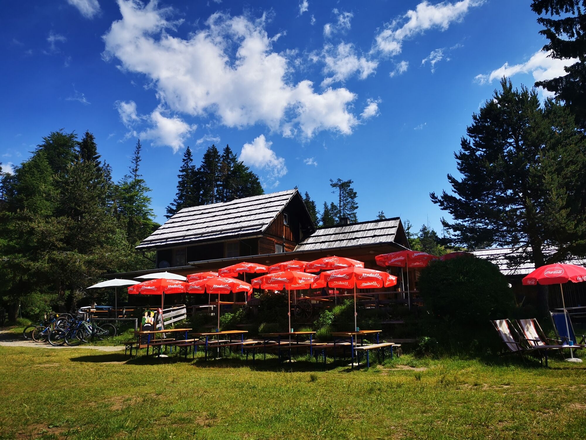
Enjoy a cool drink at the Naggler Alm at the end of the route.
Uzyskaj wgląd
Zawsze na żywo z ponad 9 500 kamer internetowych. bergfex Jako użytkownik Pro, możesz teraz zobaczyć odpowiednie kamery internetowe dla wielu wycieczek w aplikacji wycieczki od. Pozwala to na bezpośredni podgląd aktualnych warunków.
Popularne wycieczki w okolicy
-
5,0
W10 - Large lake round - Weissensee
ciężkiMountainbike 31,5 km -
4,7
W5 - Naggler Alm Round Weissensee
średniMountainbike 15,8 km -
4,9
Slow Trail Weissensee
średniWędrówka 6,69 km -
4,6
RW_N9 Weißenbachklamm
średniWędrówka 7,49 km -
4,9
Weissensee Ost- nach Westufer
światłoWędrówka 10,2 km -
4,9
Parkplatz Seetal - STAFF und retour
średniWędrówka 13,2 km -
4,8
Drau Cycle Path R1
światłoJazda na rowerze 75,9 km -
4,8
Weiße Wand - Alm hinterm Brunn
Mountainbike 22,1 km -
4,6
Bergstation Weißensee bis Golz
średniWędrówka 14,8 km -
5,0
Bodenalm - Ostufer - mit dem Schiff zurück
Mountainbike 19,1 km
Wędrówki i tropienie


Nie przegap ofert i inspiracji na następne wakacje
Twój adres e-mail została dodana do listy mailingowej.





