


St. Paul: Pleasure cycling route 5 - golf course loop
Poziom trudności: 1
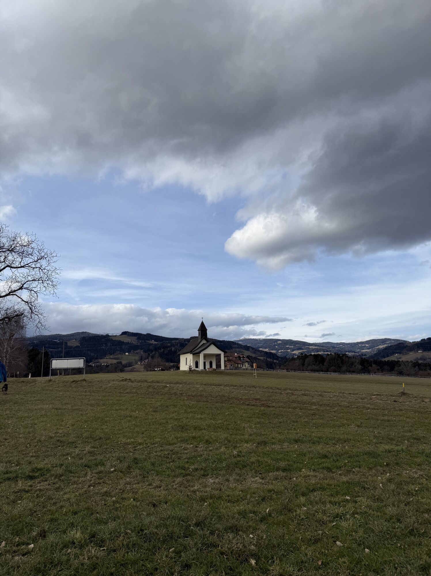
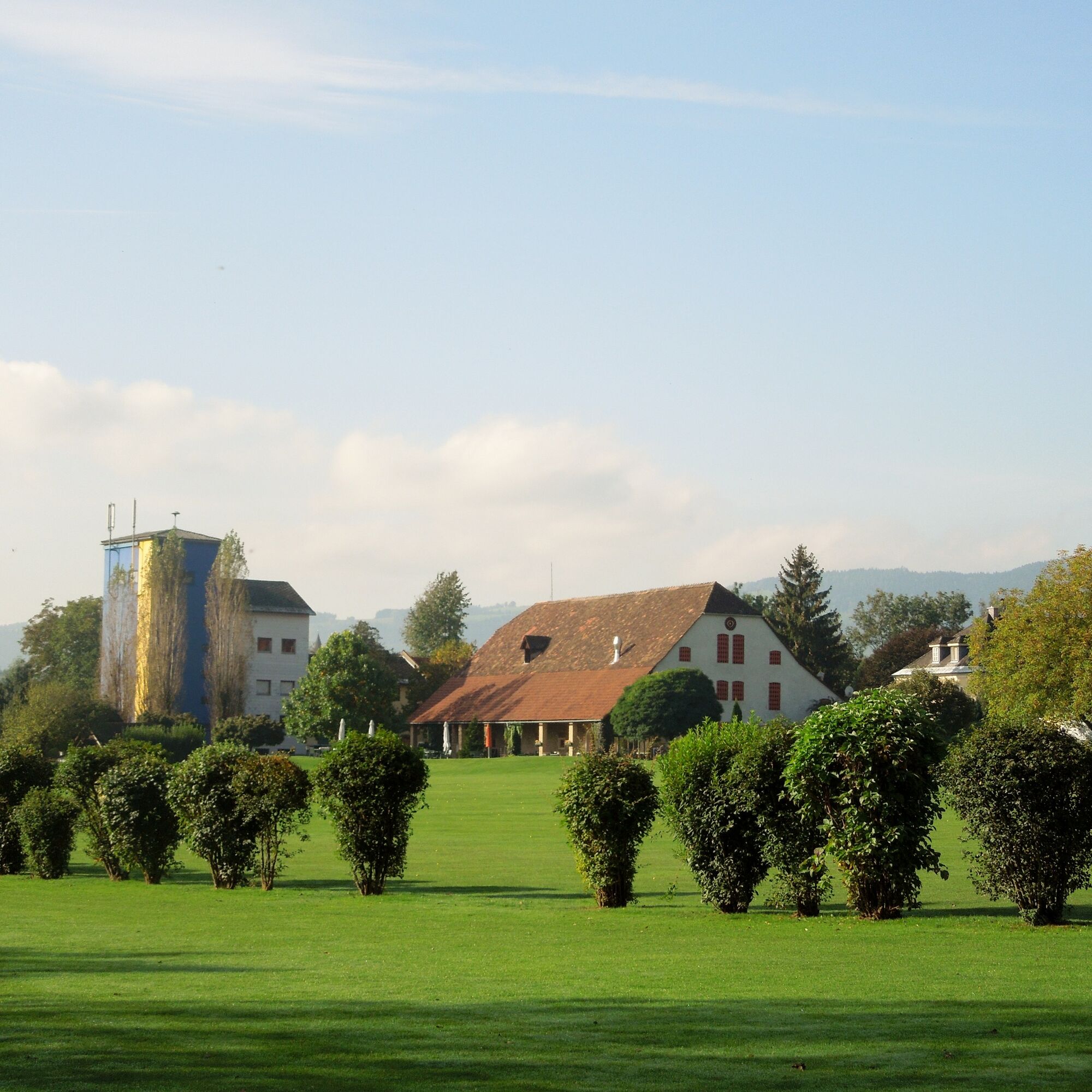
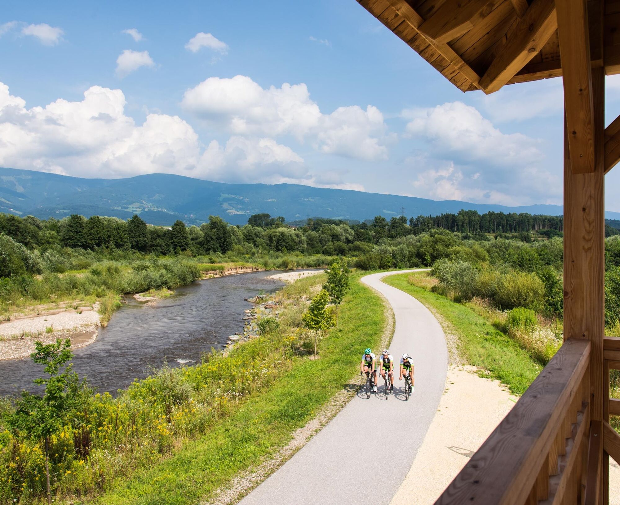
Leisurely and eventful cycling route along the Lavan cycle path R10, up to the golf course in St. Michael and back via the district capital Wolfsberg. With beautiful viewpoints, for example the vineyards...
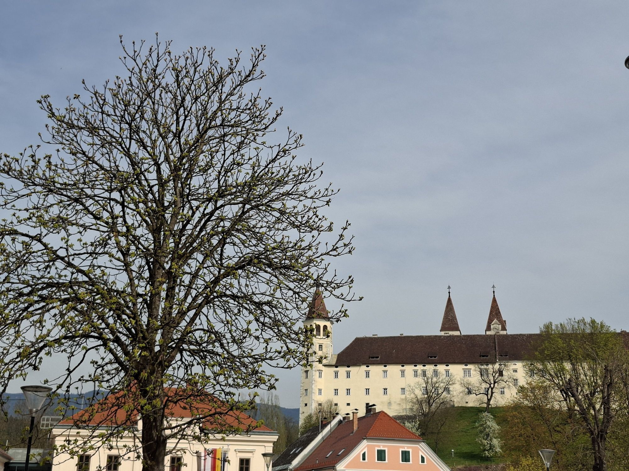
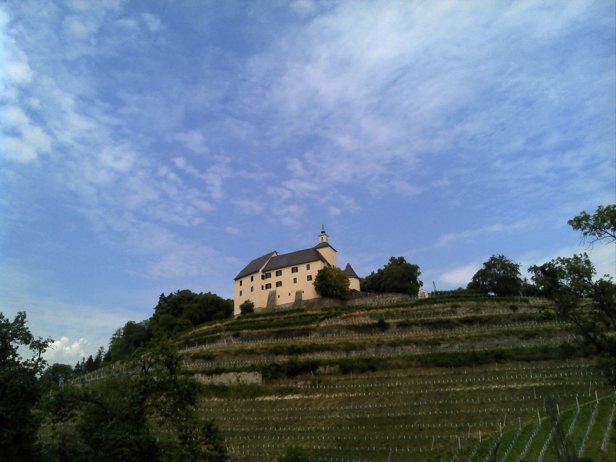
Leisurely and eventful cycling route along the Lavan cycle path R10, up to the golf course in St. Michael and back via the district capital Wolfsberg. With beautiful viewpoints, for example the vineyards near Thurn Castle or Wolfsberg Castle. Botanical and zoological highlights can be experienced especially on the section of the R10, the most beautiful cycle path in Carinthia.


Lavan cycle path R10 - St. Stefan - St. Marein - Siegelsdorf - St. Michael - golf course in Hattendorf - Wolfsberg Castle -
Lavant Museum - R10 - St. Paul
Tak
Tak
If you have a brain, protect it!
A helmet is a matter of course when cycling.
Proper clothing!
Always carry warm clothing and a spare jersey, especially in early and late season, even in summer. Without rain protection, bad weather can be uncomfortable.
Carry emergency equipment!
First aid supplies, bike repair kit (spare tube, pump, tools), map, mobile phone, and possibly GPS are always with you.
Drink constantly & eat on time!
Drink enough and plan to stop for refreshments in time. A hunger break in the middle of nowhere is tough.
Adjust your speed!
Always ride defensively and only as fast as you can stop in time for obstacles or avoid oncoming traffic. Stay alert at all times. It’s cool to ride slowly past pedestrians.
Proper self-assessment!
Don’t overstrain yourself or your companions. Plan reserves.
1
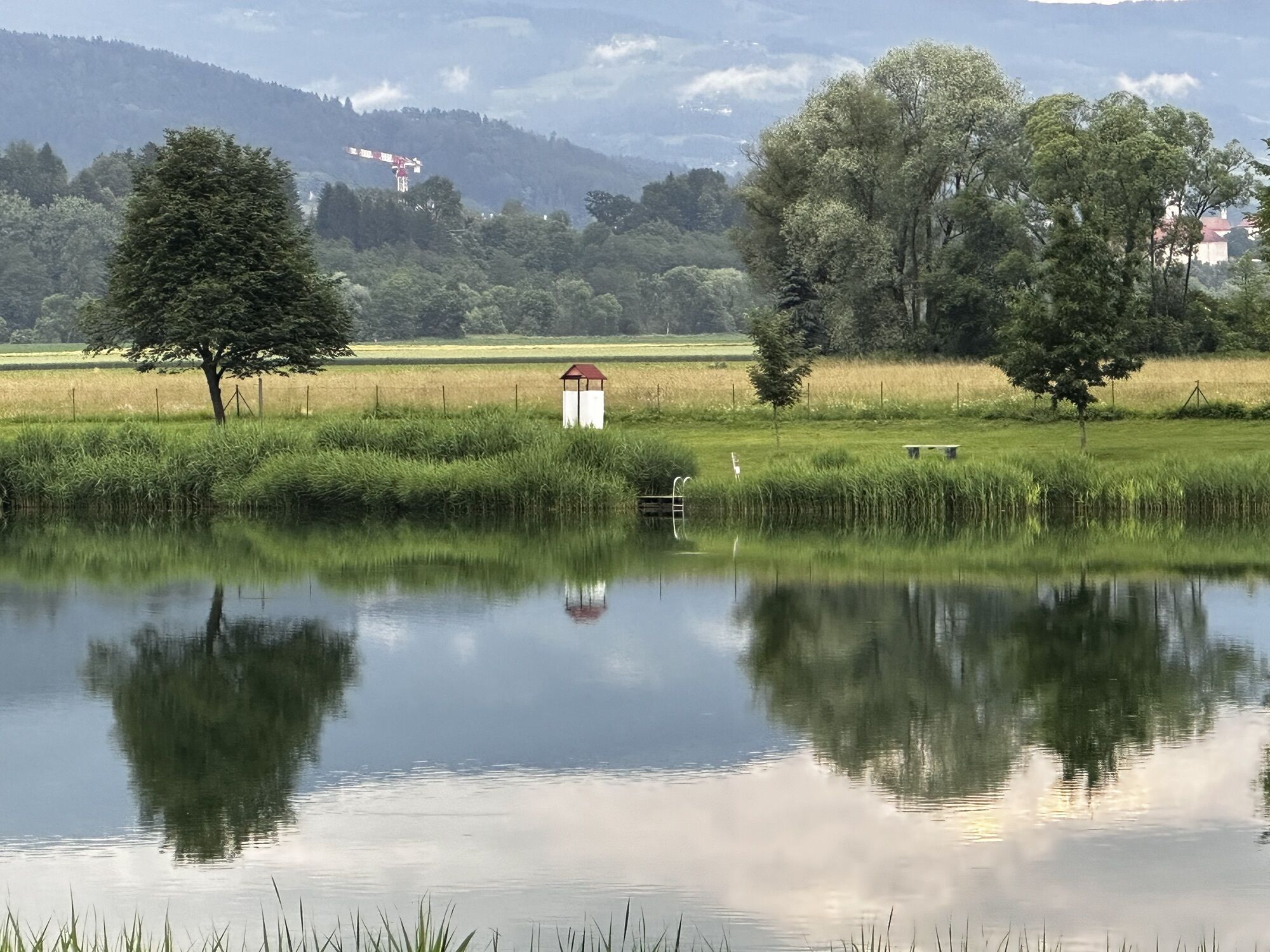
There are many interesting points and places (golf course, vineyards, castles, rural villages, biotopes, museums, etc.) that you can experience with all your senses. Therefore, it is worth exploring this route without time pressure.
Kamery internetowe z trasy
Aktywności na trasie
-

Jakling, Kärnten/Österreich
22.06.2026 – Jazda na rowerze -

Wolfsberg, Kärnten/Österreich
08.06.2026 – Rower szutrowy -

Wolfsberg, Kärnten/Österreich
03.05.2026 – E-Bike -

Sankt Andrä, Kärnten/Österreich
01.05.2026 – Wędrówka -
Sankt Paul im Lavanttal, Kärnten/Österreich
09.04.2026 – Droga rowerowa -
Sankt Andrä, Kärnten/Österreich
05.04.2026 – Przechadzka -
Sankt Paul im Lavanttal, Kärnten/Österreich
04.04.2026 – Droga rowerowa
Popularne wycieczki w okolicy
-
4,7
Koralpe: hike to the summit cross
światłoWędrówka zimą 4,23 km -
4,4
Koralpe: summit tour to the Großer Speikkogel
średniWycieczka narciarska 11,6 km -
4,5
Weinebene - Moschkogel - Rundweg
światłoWędrówka 7,27 km -
4,1
Schneeschuhwanderung Weinebene
światłoRakieta do chodzenia po śniegu 7,40 km -
4,6
Saualpe: Hut route - circular hike
średniWędrówka 15,3 km -
5,0
Koralpe: Hike to the Großer Speikkogel
średniRakieta do chodzenia po śniegu 10,5 km -
4,5
PP Weinebene-Grillitschh.-Gr.Speik-Hühnerstütze-PP Weinebene
średniWędrówka 19,6 km -
3,7
Loskogel - Steinmandl- Großer Speikkogel
średniWędrówka 16,1 km -
4,2
St. Paul: Klettergarten und Klettersteig Rabenstein
średniVia ferrata 0,89 km -
3,7
Koralpe: panoramic circular hike
średniWędrówka 13,2 km
Wędrówki i tropienie


Nie przegap ofert i inspiracji na następne wakacje
Twój adres e-mail została dodana do listy mailingowej.