


03 Hemmaweg - Guttaring - Friesach

The third stage of the Hemmaweg leads from Guttaring to Friesach over a distance of about 26 kilometers, which can be covered in approximately 8 hours. The starting point is Guttaring, a picturesque village...
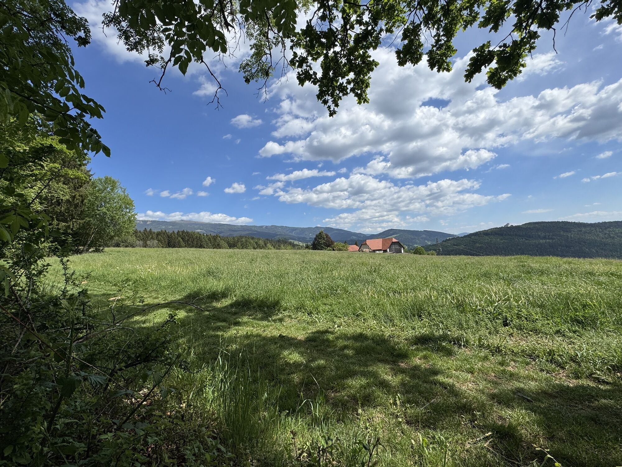
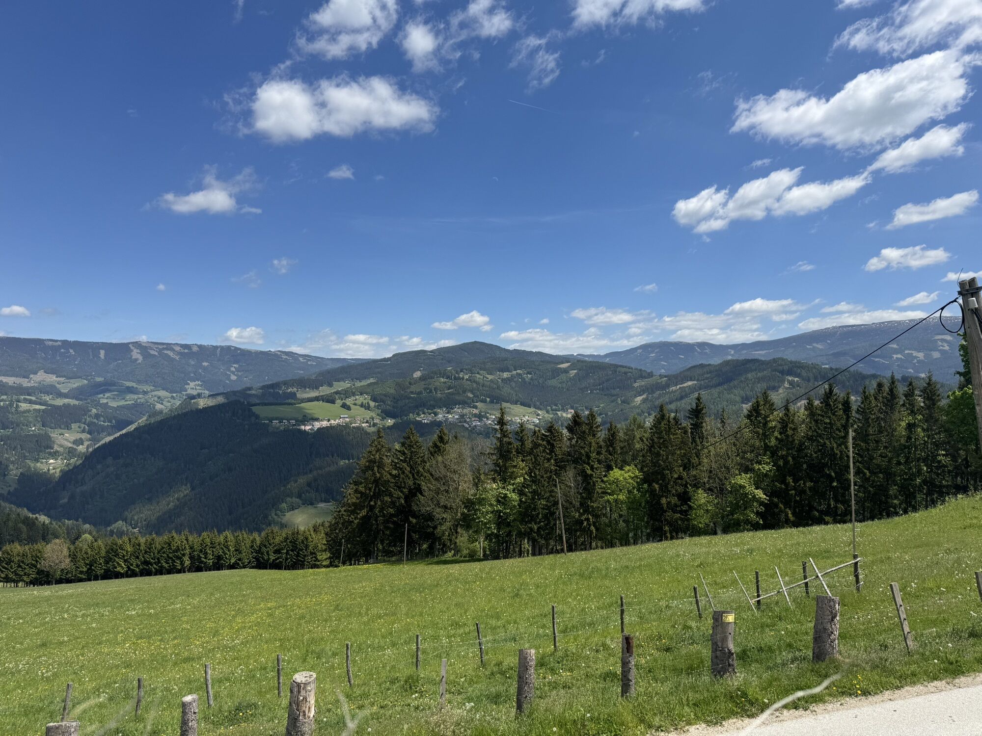
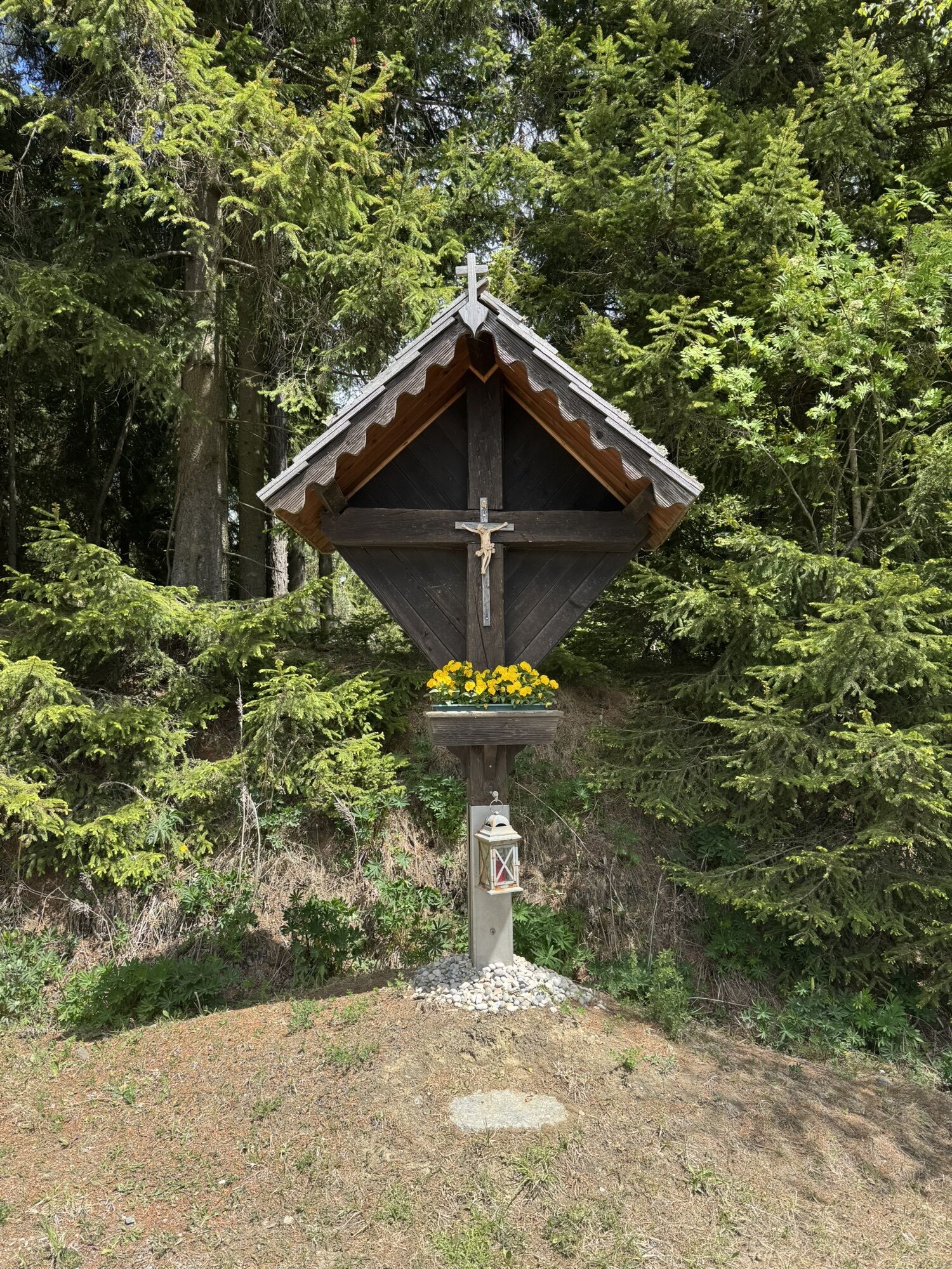
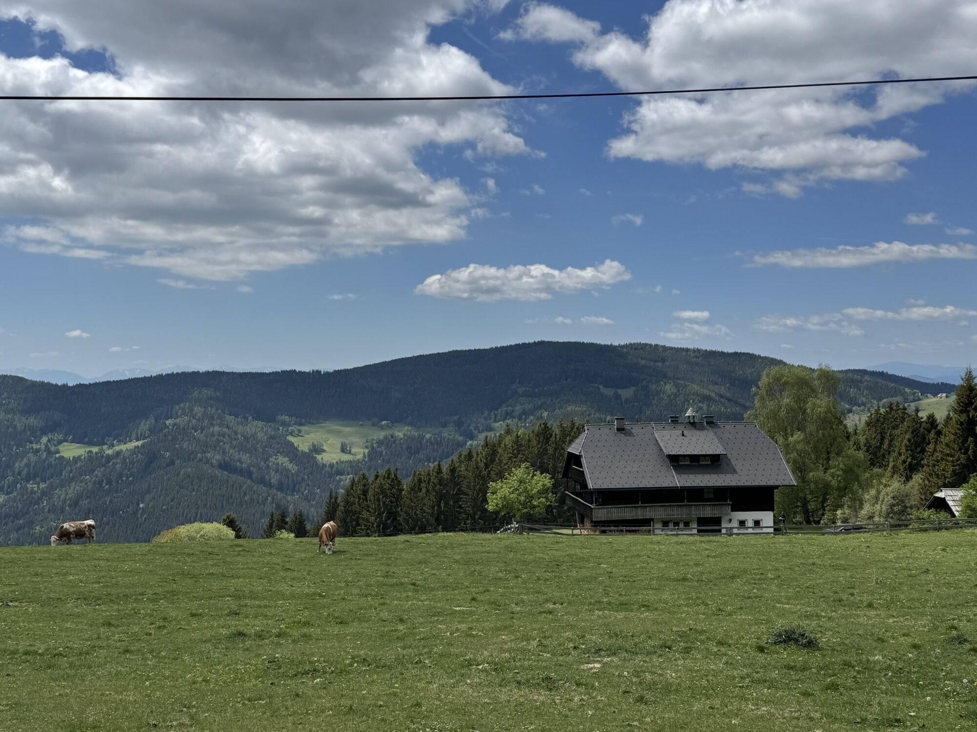
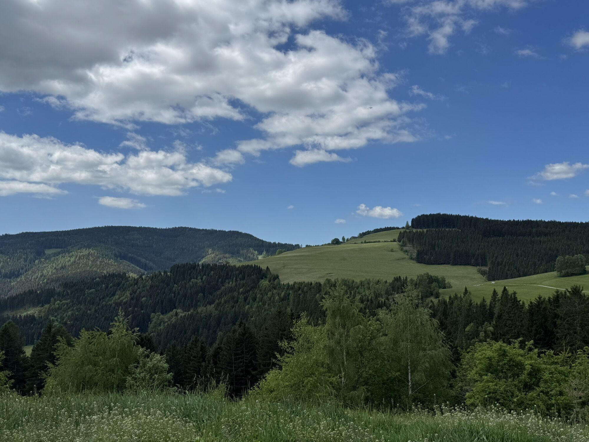
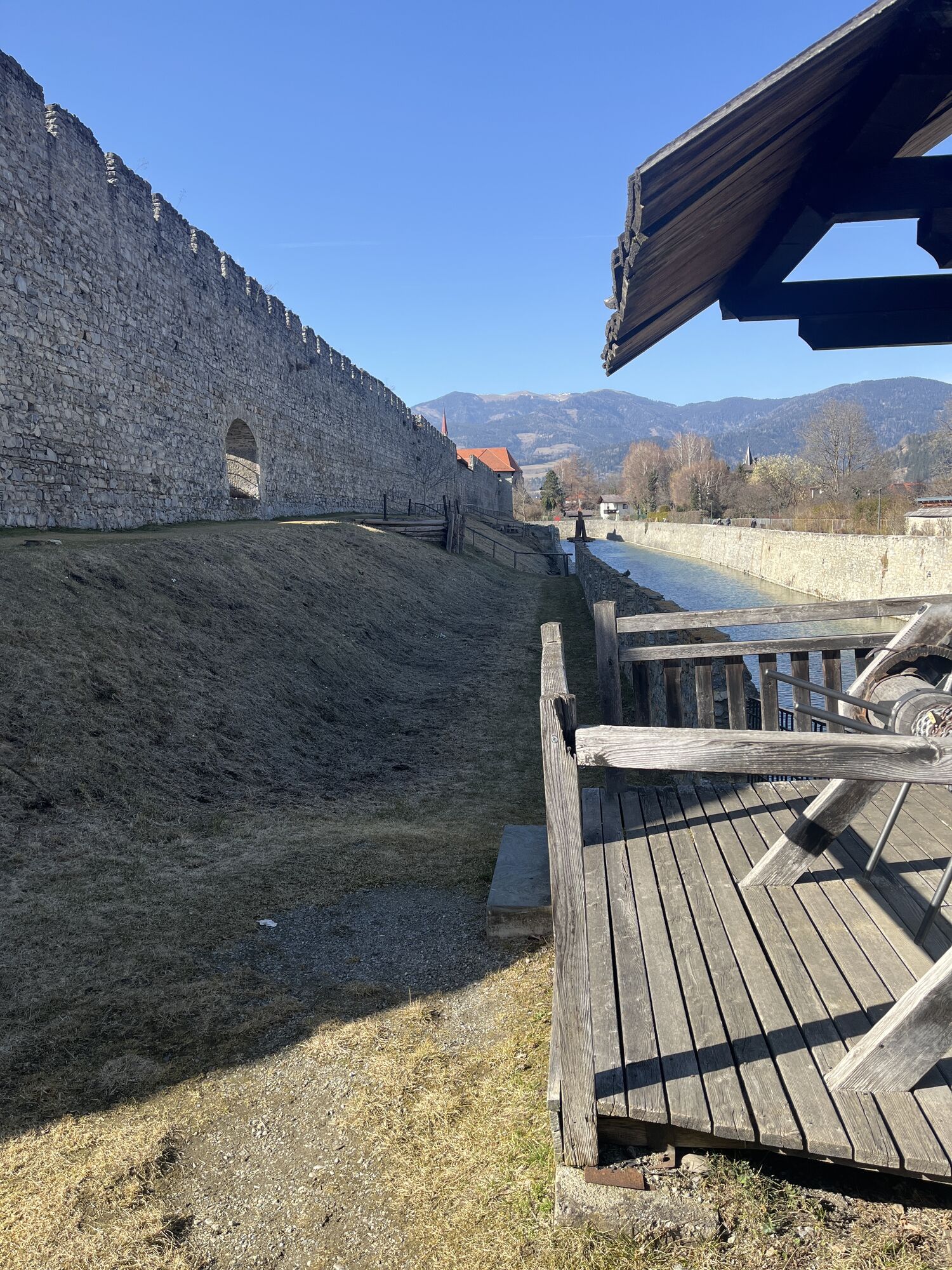
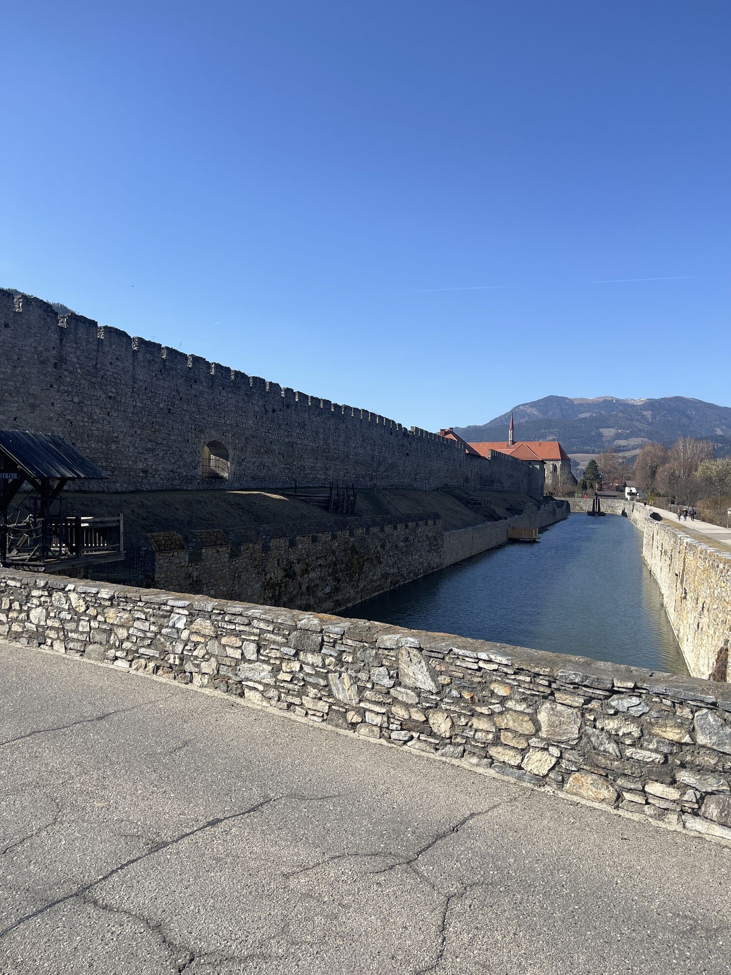
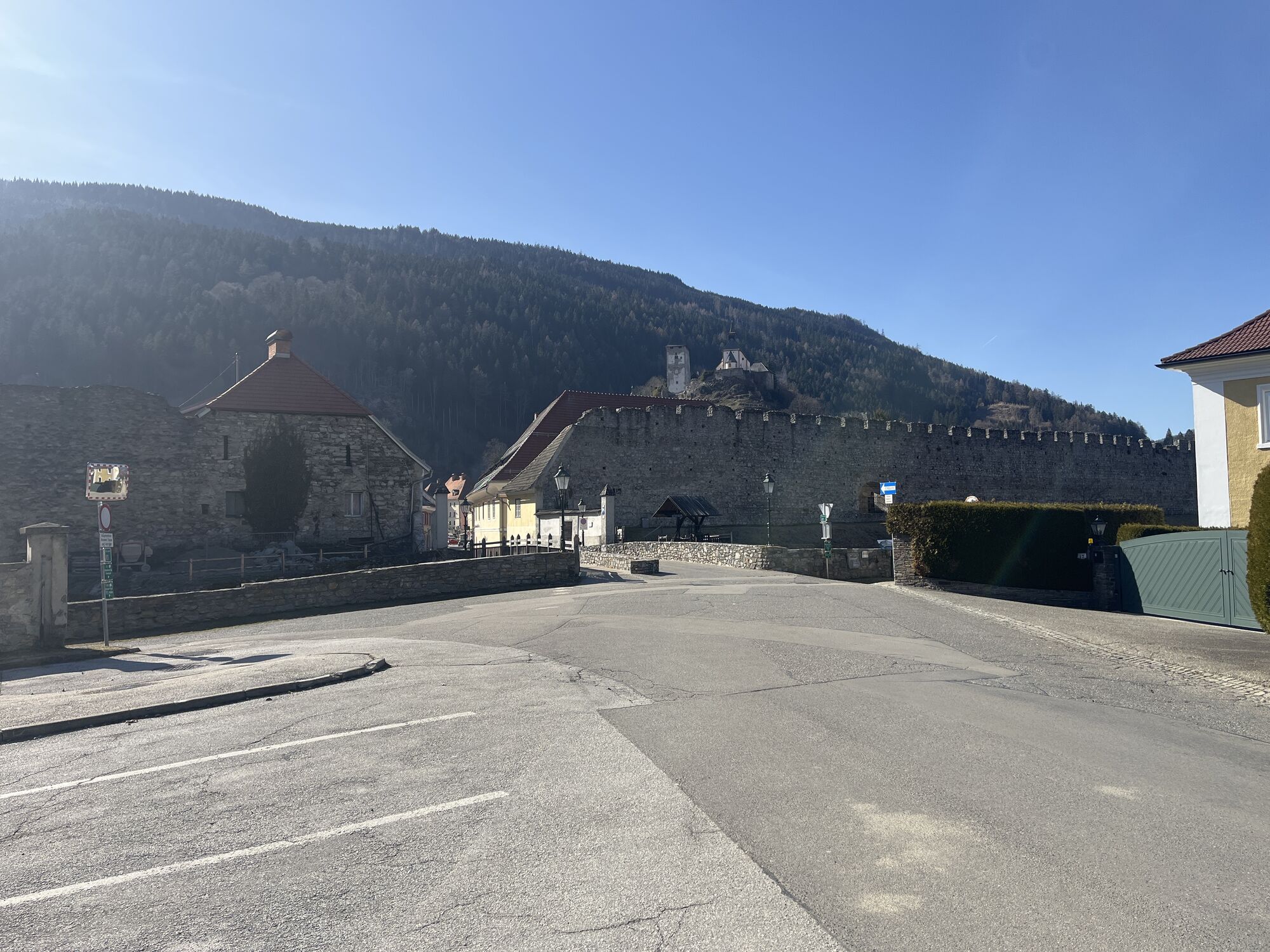
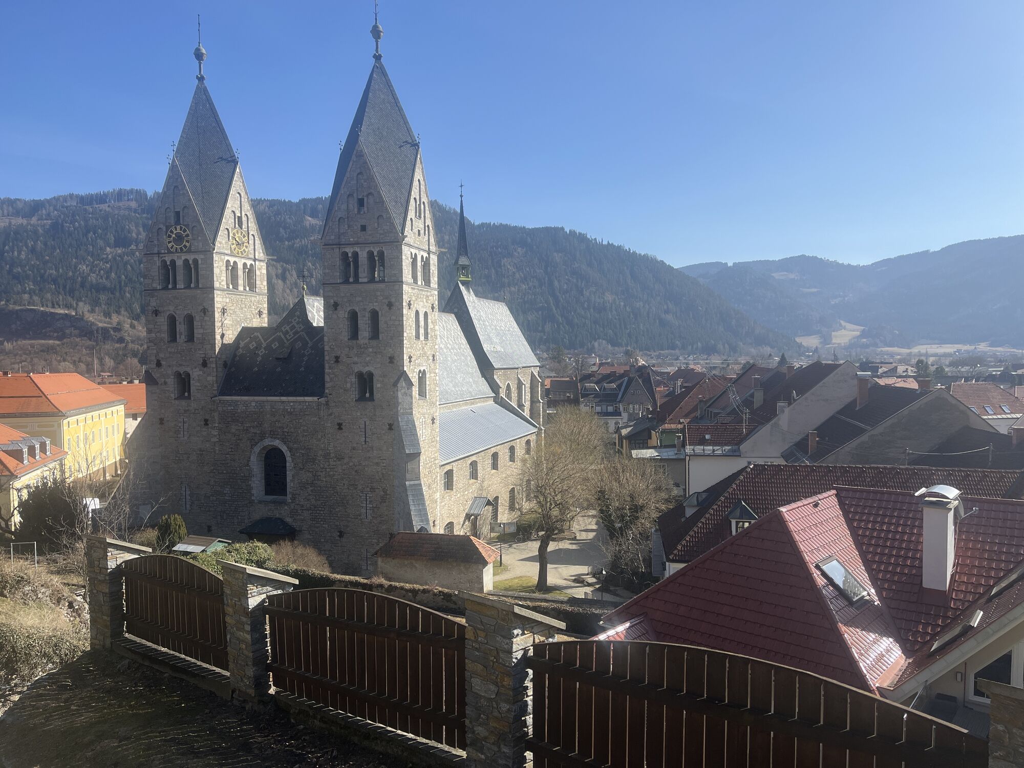
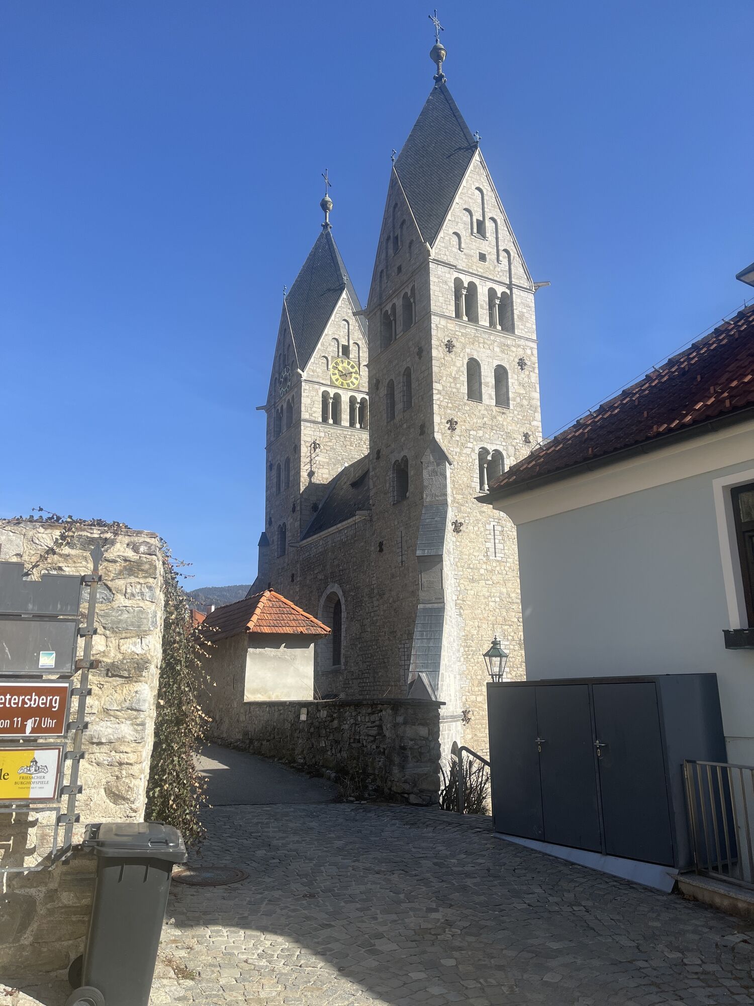
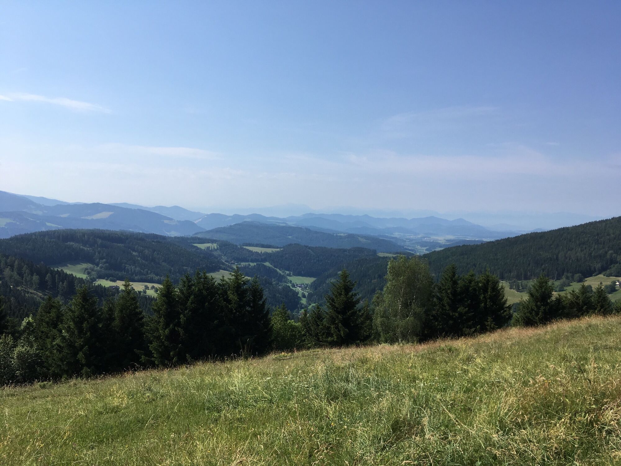
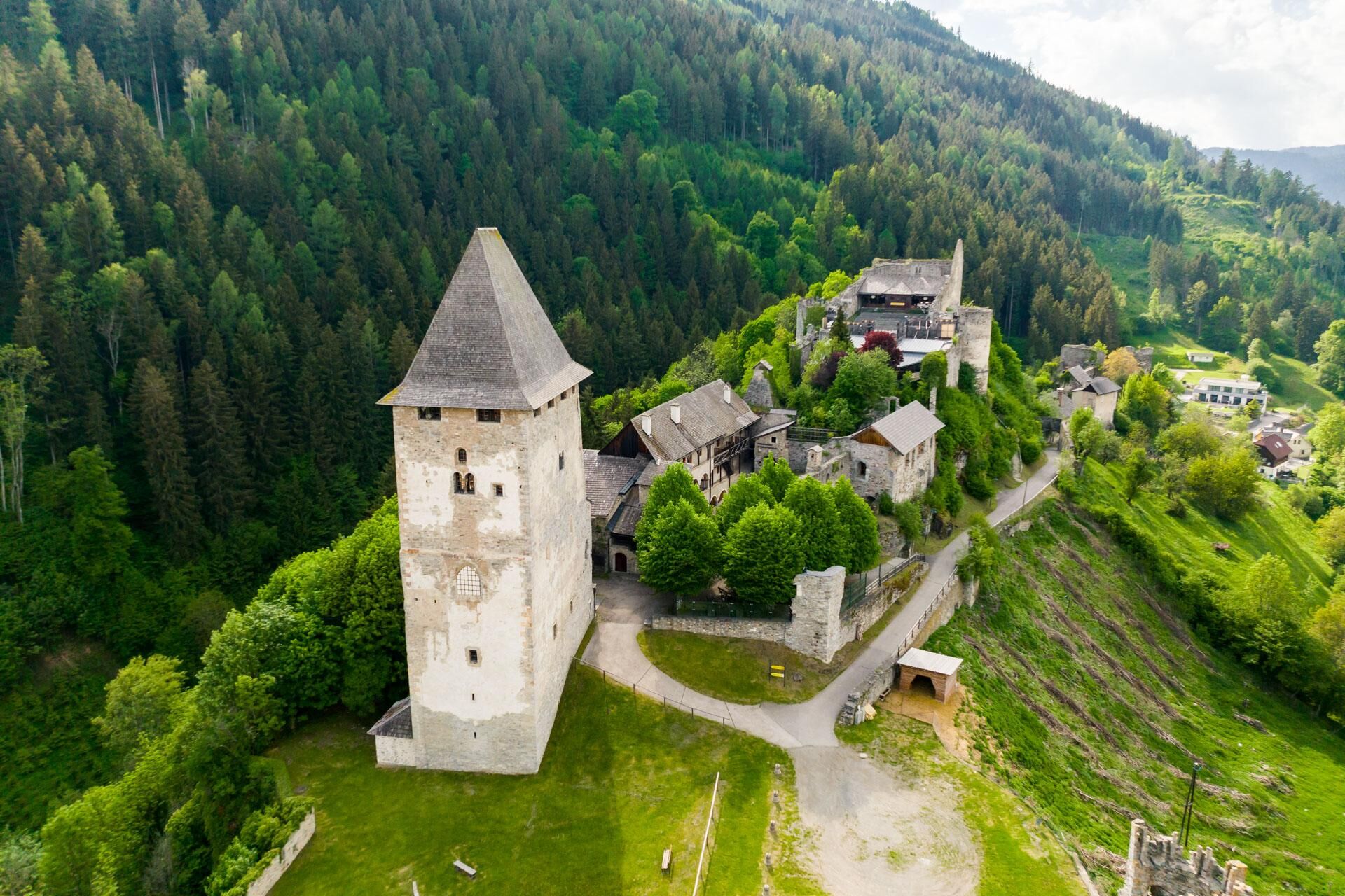
The third stage of the Hemmaweg leads from Guttaring to Friesach over a distance of about 26 kilometers, which can be covered in approximately 8 hours. The starting point is Guttaring, a picturesque village in Carinthia surrounded by gentle hills and idyllic countryside. The path goes through diverse forest areas and along small streams that provide refreshment. Along the way, you pass historical sights such as chapels and farms. The ascent to Petersberg offers a magnificent panoramic view over the region. After crossing the Petersberg, the path leads down to Friesach, one of the oldest towns in Carinthia, known for its medieval architecture and impressive city walls. The stage ends in Friesach, where hikers can enjoy regional cuisine in cozy inns and experience the historic atmosphere of the town.

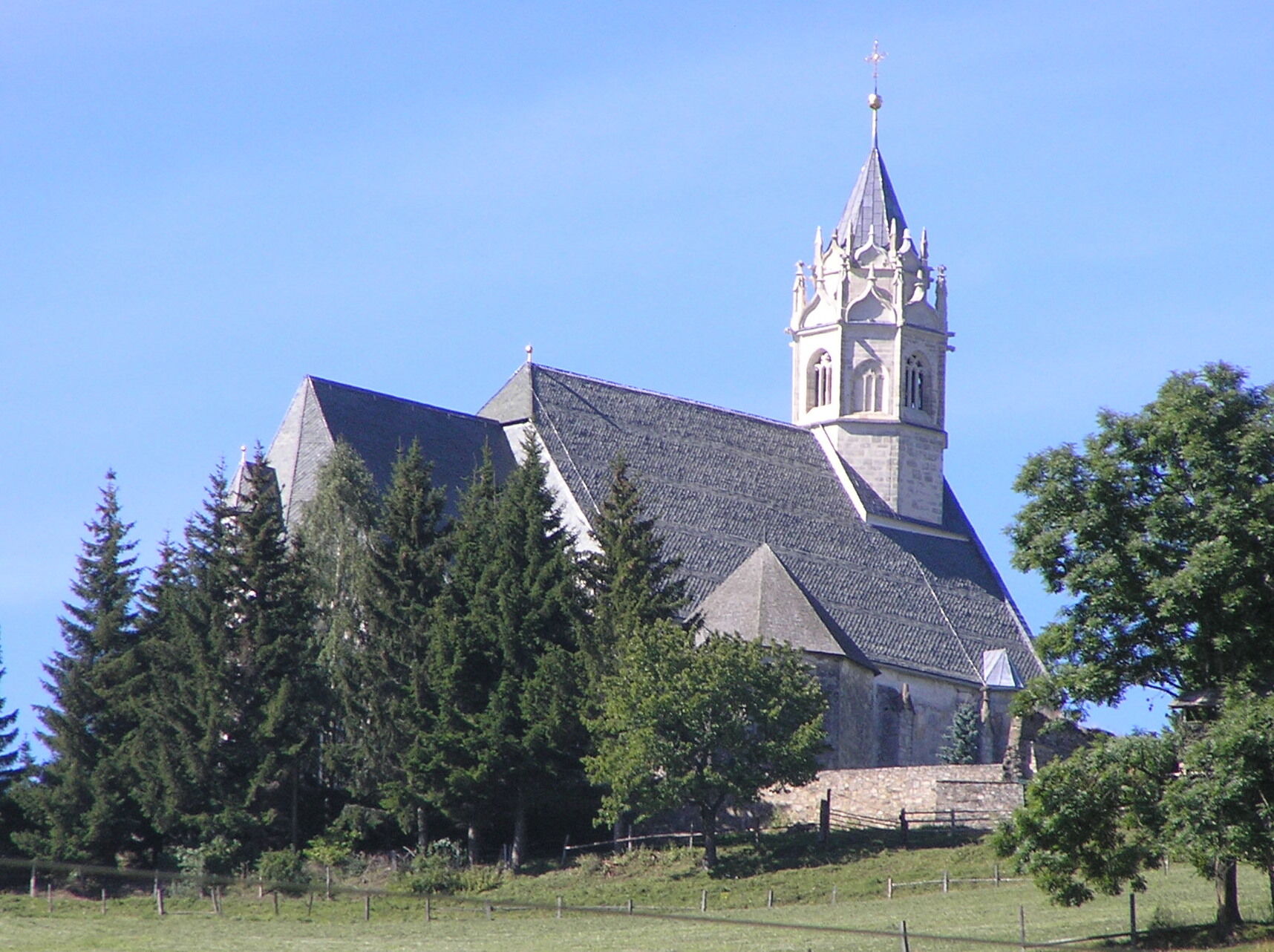
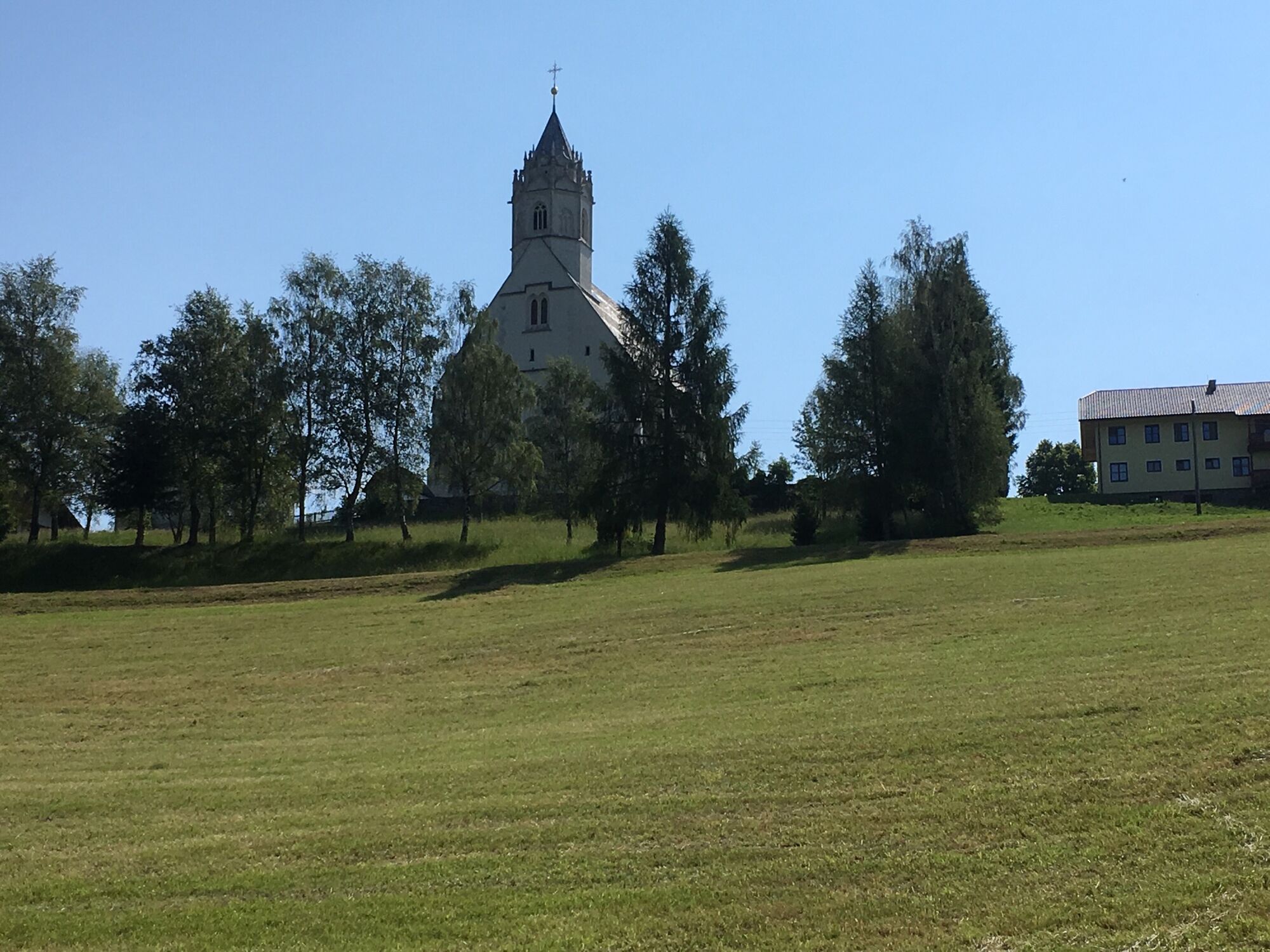
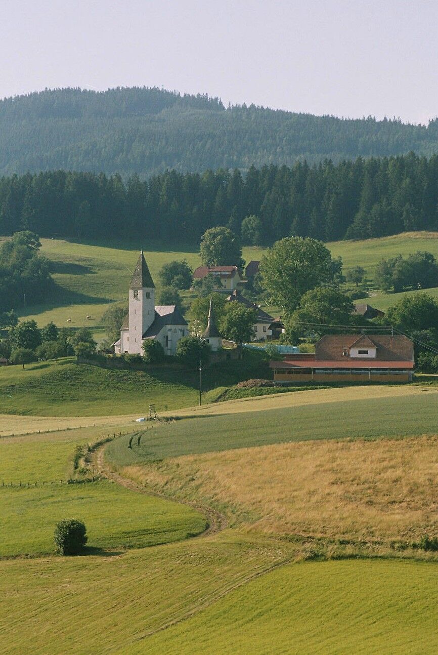
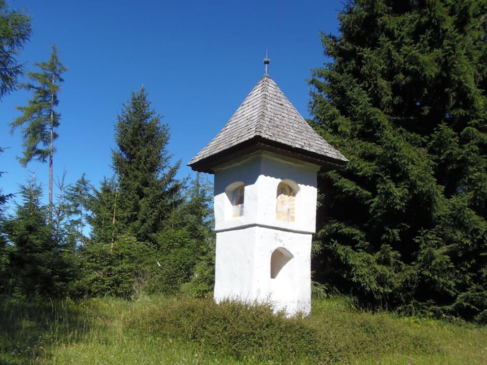
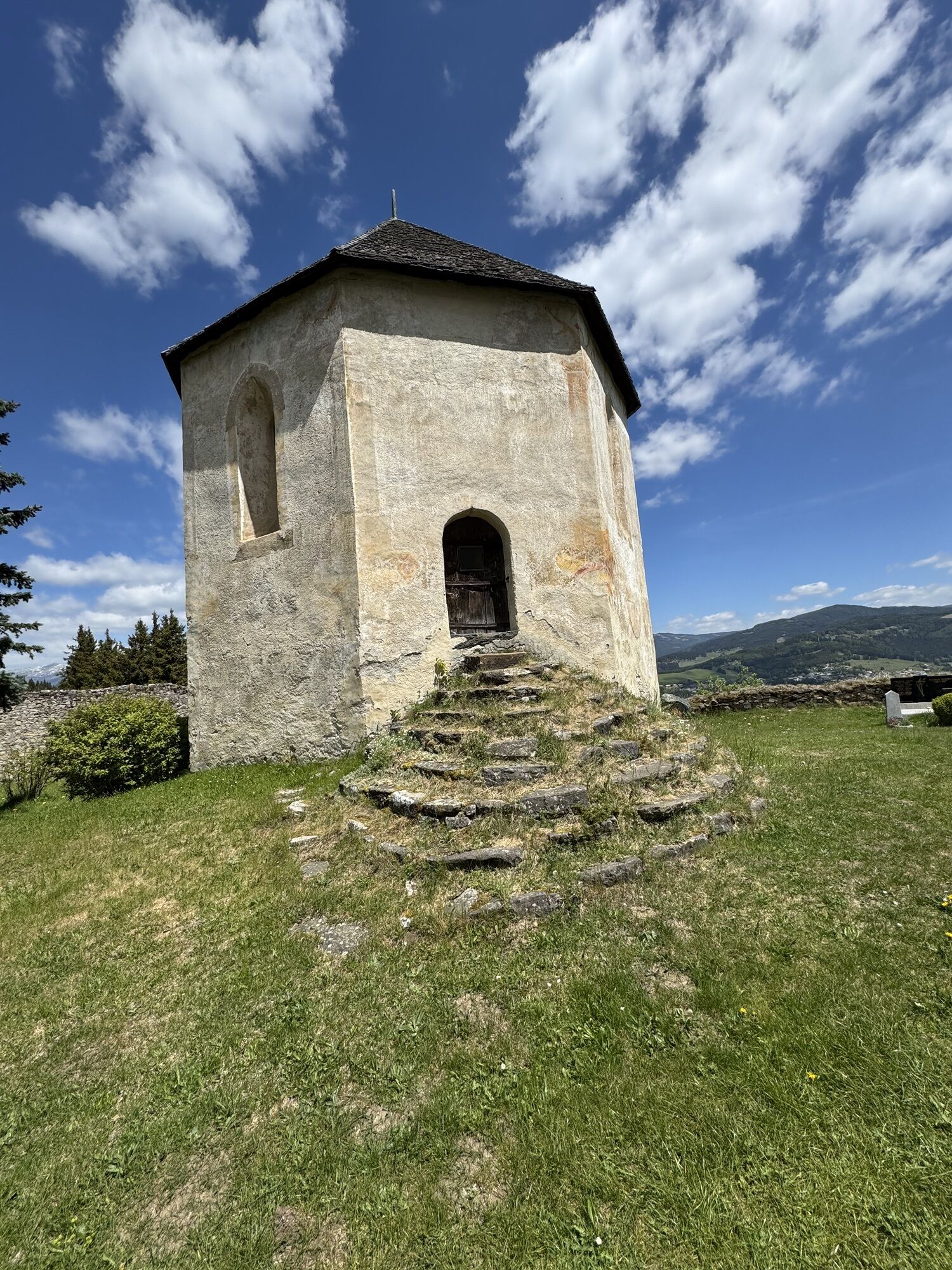
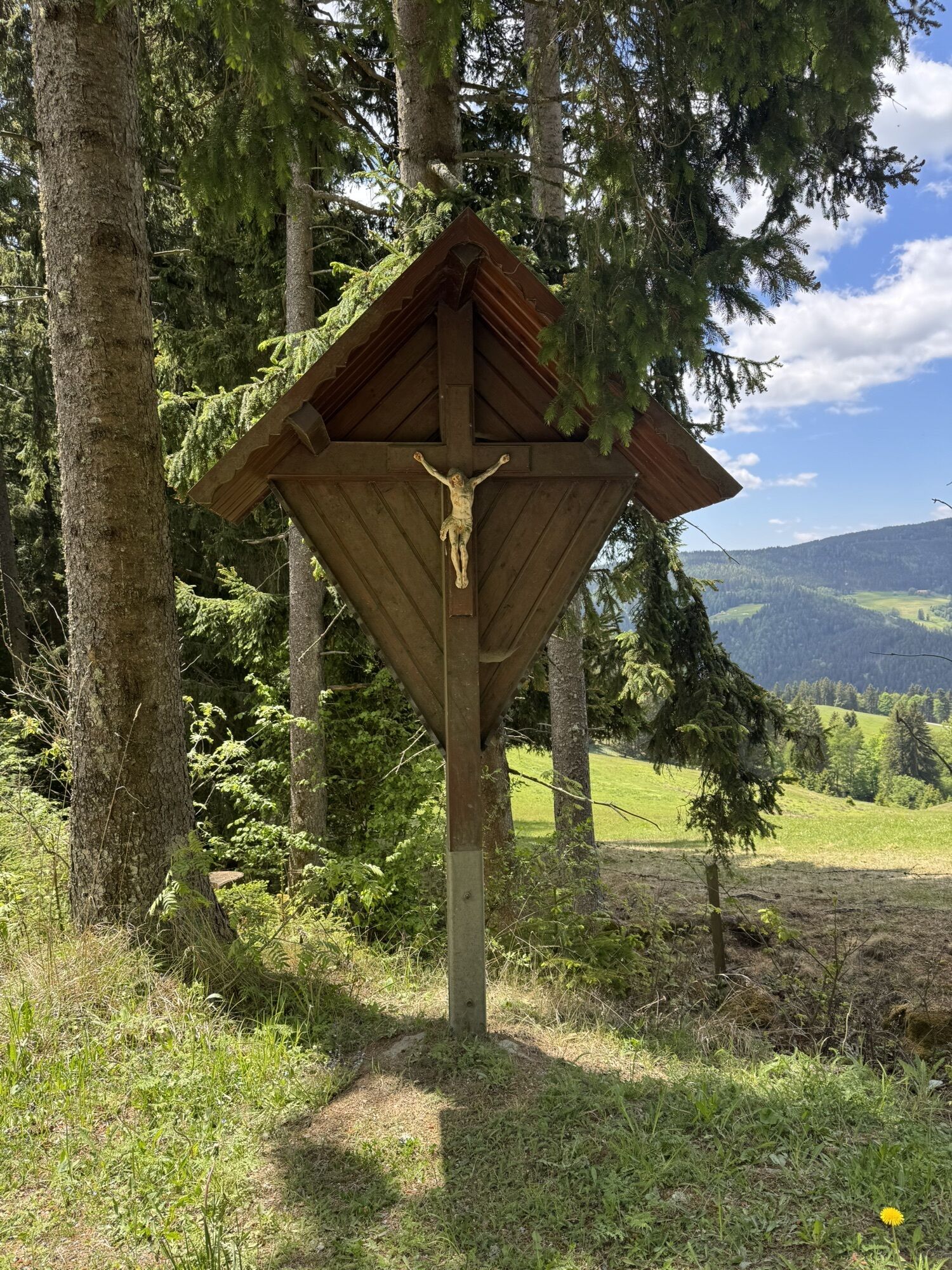
The starting point of this stage is Guttaring. You head towards Deinsberg, keep right in Deinsberg. Before the church, the paved path leads uphill. If no Hemmaweg signs are present, you can also follow the "Norische Panoramaweg". You reach a forest path which is well signposted. Passing the "1,000-year-old linden tree" you continue slightly uphill towards Waitschach. Then you reach open terrain and soon see the pilgrimage church Maria Waitschach. You should definitely visit the church with its beautiful charnel house and an old baptismal font. You continue along the partly paved country road northwards past Schwarzkogel towards "Thoma", where you keep left and continue past "Zechner" and "Jungmann". After "Steiner" you reach the Ratteingraben and continue towards "Teichbauer". At the next intersection, keep right (northwards) and continue to the small settlement Kräuping. You follow the country road and after about 1 km at "Leser" turn right onto a pasture. After another kilometer in the forest you reach the country road again, which you follow to Zeltschach. There you have the opportunity to visit the church. St. Hemma had possessions in Zeltschach. Continuing downhill on the road towards Friesach, you turn right at Schwall onto a forest path which leads you to Olsa, a suburb of Friesach. Now you follow the road towards the town center of Friesach.
Sturdy footwear and weather-appropriate clothing.
Inform someone where you are going and when you will return
see route planner
Buses operate to Guttaring, for more information see: kaerntner-linien.at
Parking spaces are available at the Gasthaus-Hotel Moser along the Silberbach.
Be sure to take provisions and enough drinks, as there are no opportunities to stop for refreshments along the way.

Popularne wycieczki w okolicy
-
4,7
Graggerschlucht
średniTrasa tematyczna 3,91 km -
4,5
Klippitztörl - Geierkogel loop trail no. G
średniWędrówka 6,79 km -
4,9
Zirbitzkogel Wildsee Rothaidehütte
średniWędrówka 15,4 km -
4,8
Zirbitzkogel Waldheimhütte - Wildsee - Fuchskogel - Zirbitzkogel, Steiermark/Österreich
średniWędrówka 15,2 km -
4,3
Mariahilferweg
średniWędrówka 11,2 km -
3,8
Zirbitzkogeltour
średniWędrówka 10,2 km -
4,1
Vom Klippitztörl auf die Forstalm mit Geierkogel und Steinerner Hochzeit.
średniWędrówka 10,5 km -
5,0
Weißbergerhütte - Gertrusk - Ladingerspitz
średniWędrówka 8,95 km -
4,8
Klippitztörl: Tour 6 - Geierkogeltour
średniRakieta do chodzenia po śniegu 6,80 km -
4,7
Höhenweg Scharfes Eck
średniWędrówka 6,18 km
Wędrówki i tropienie


Nie przegap ofert i inspiracji na następne wakacje
Twój adres e-mail została dodana do listy mailingowej.