







Wolftratten route

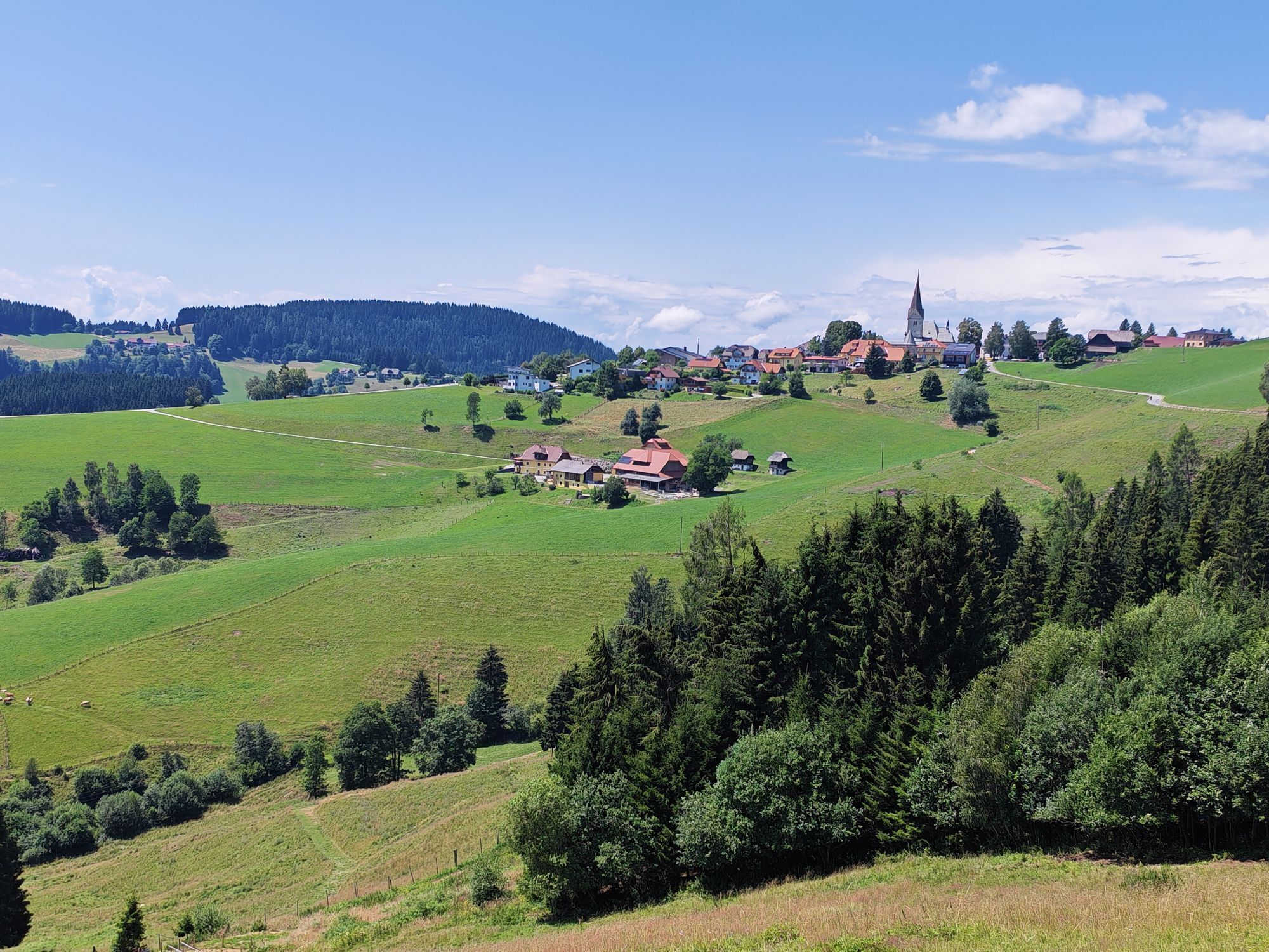
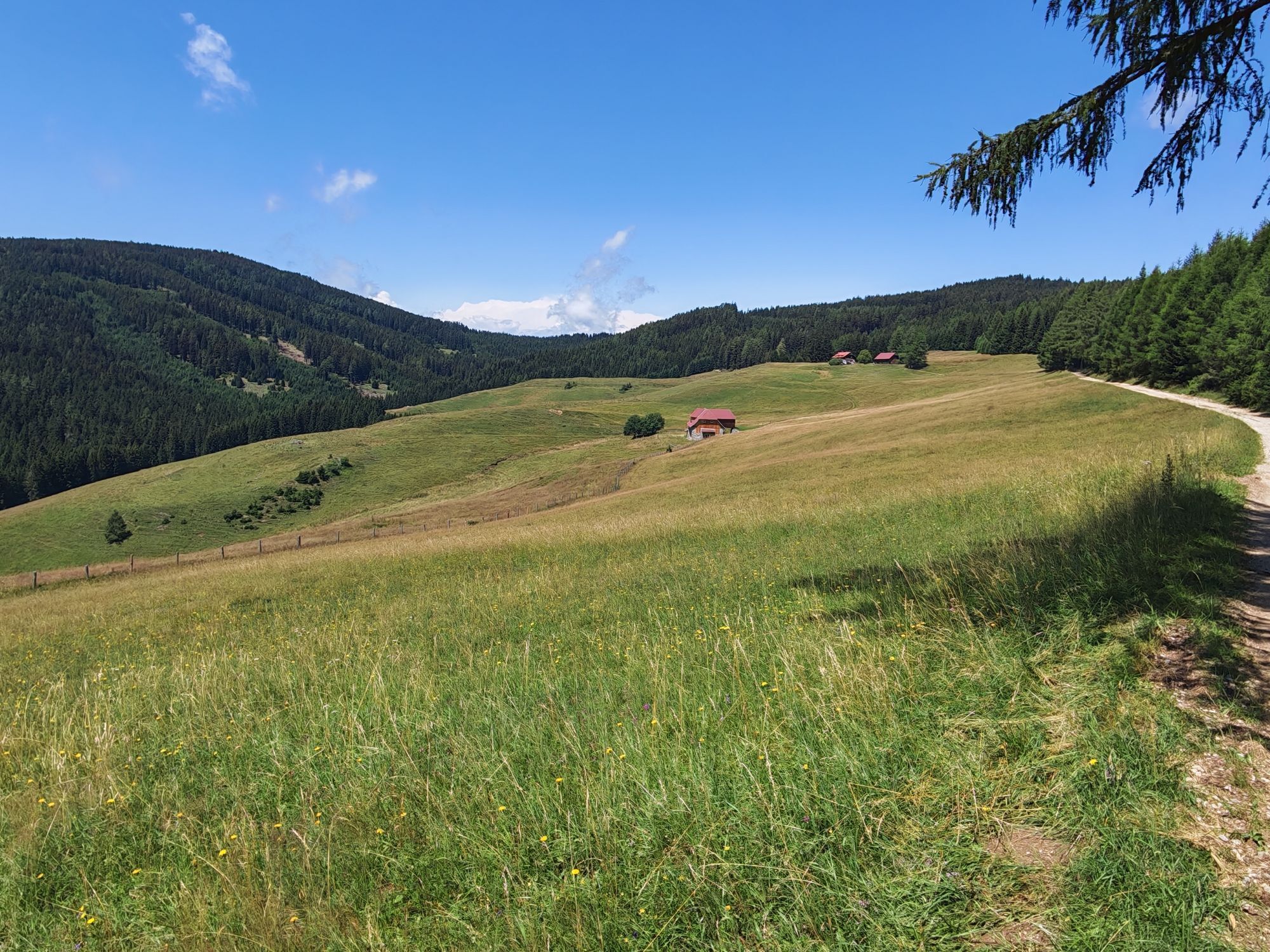
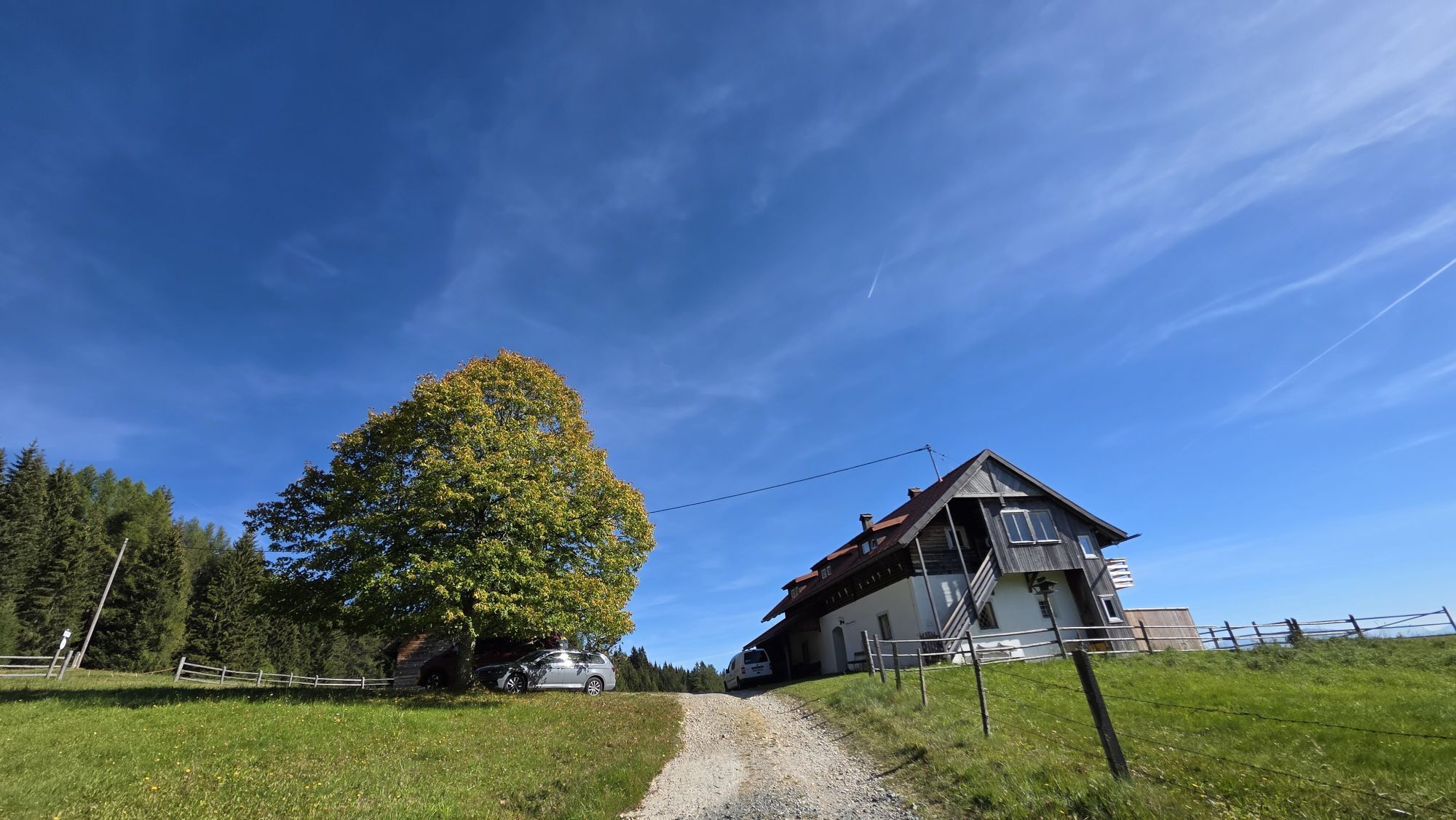
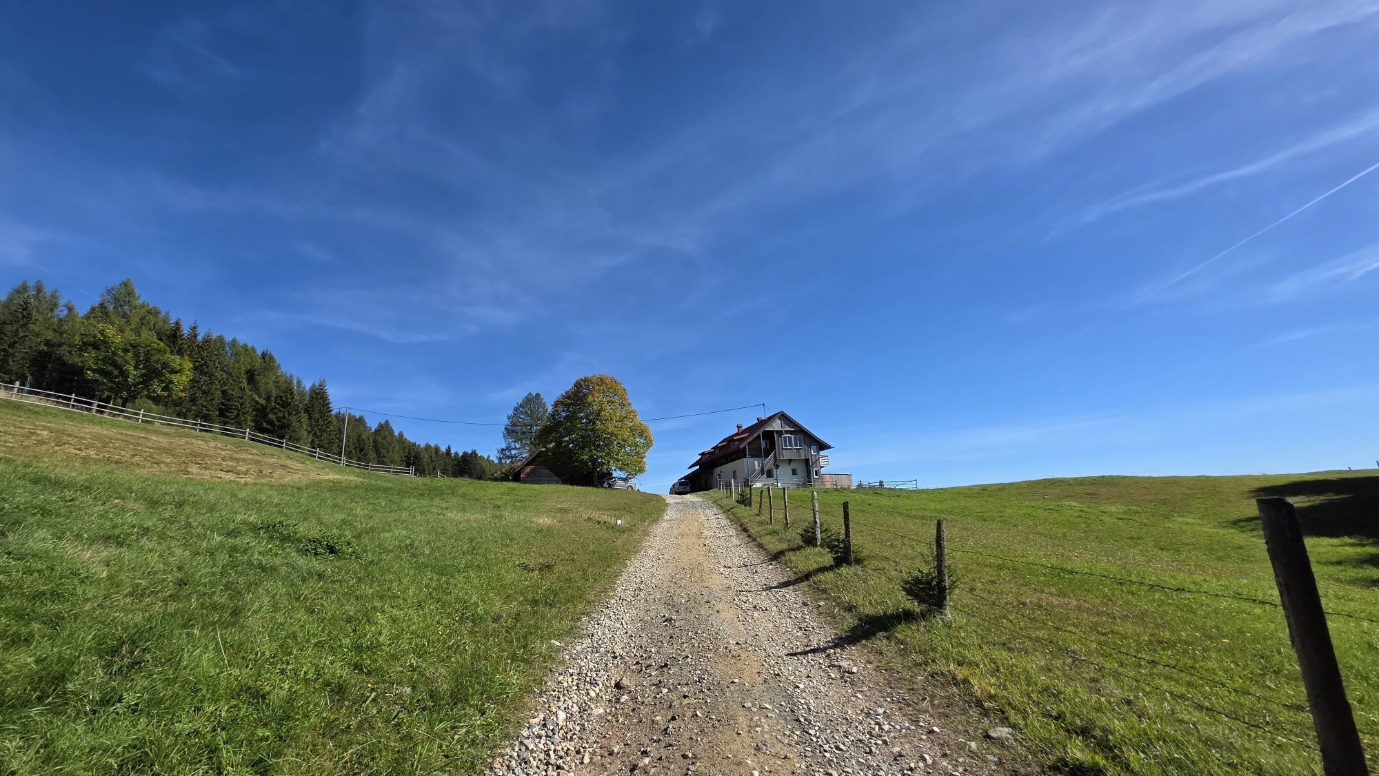
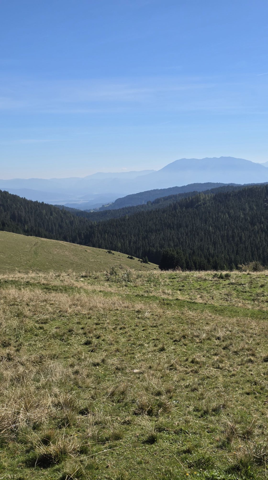
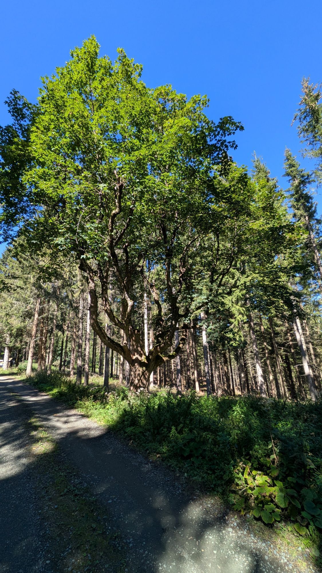
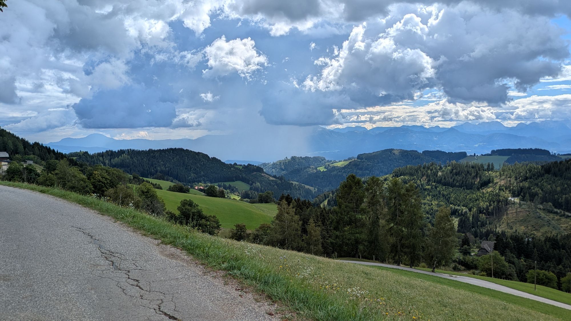
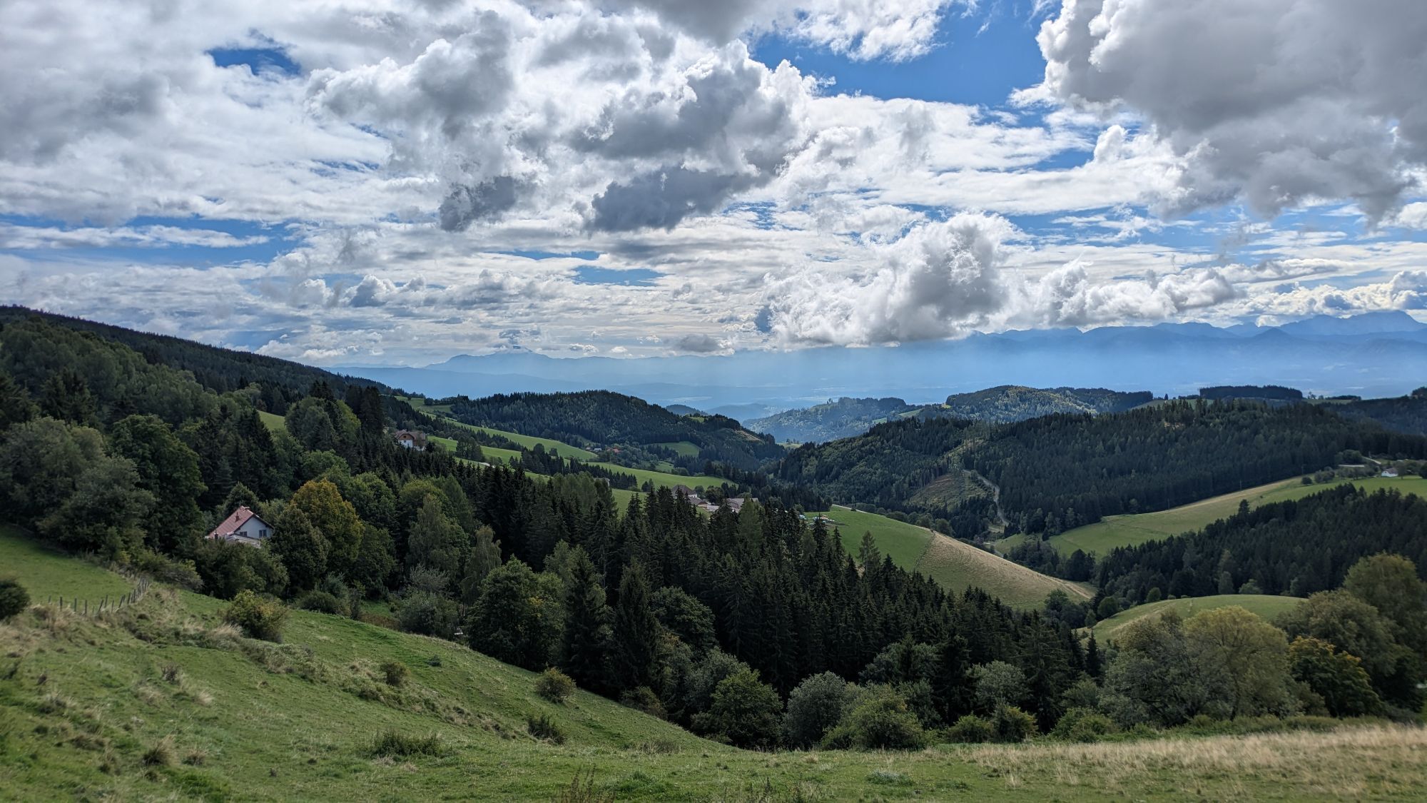
33 km long sporty route with a splendid view of the surrounding mountains. Very varied route through forests and meadows.



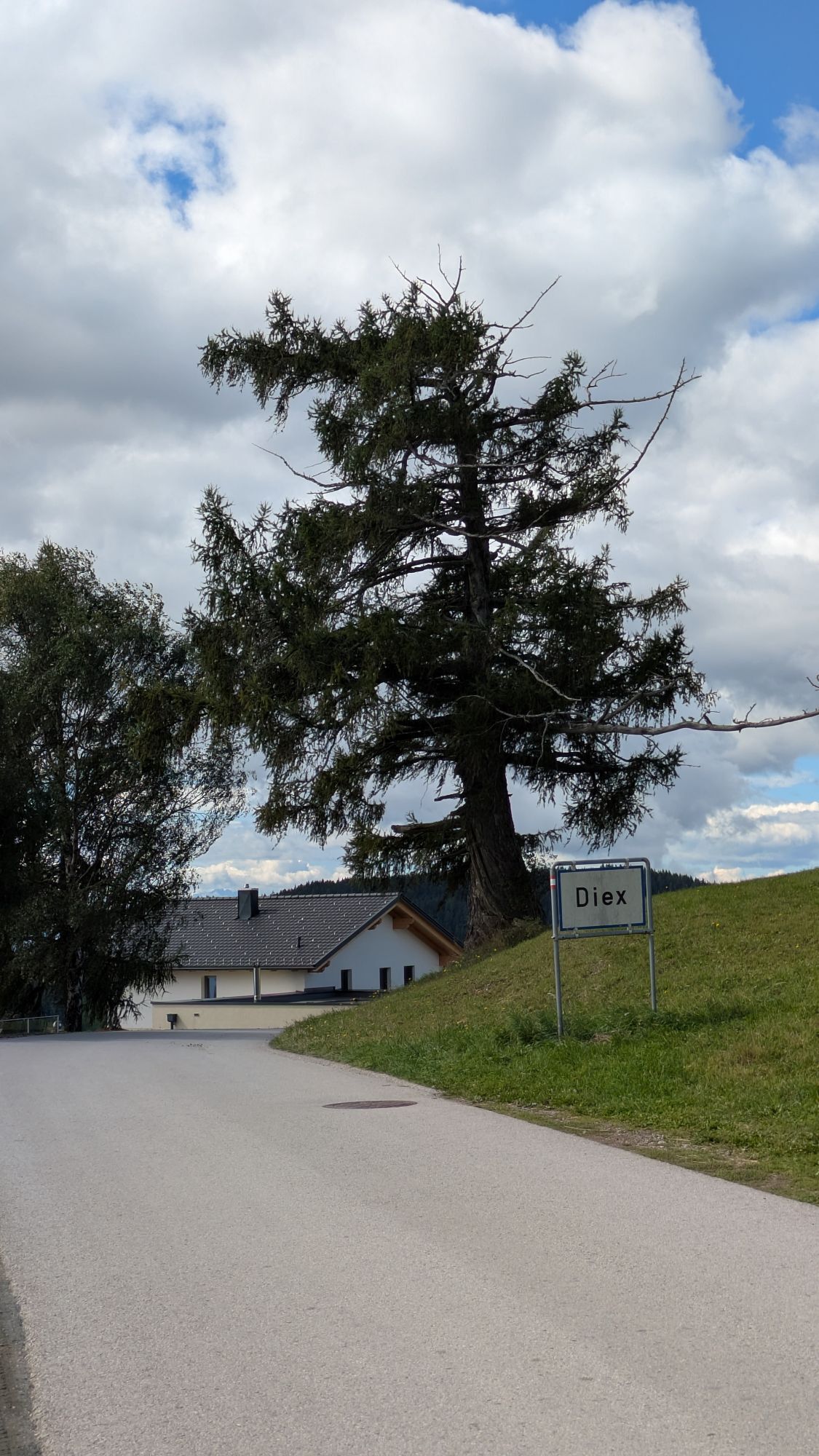
We start in Diex heading east. A steeply ascending asphalt road leads us past the guesthouse Jauntalblick to the Wolftraten junction. From there, a gravel path leads through high forest to Wolftraten.
There, we turn right back to Greutschach and then continue to Grafenbach. From Grafenbach over the Großenegger Berg and the Haimburger Berg, we reach the starting point Diex.
Normal MTB equipment.
85% gravel and forest path, 15% asphalt.
Via the A2 - Völkermarkt East exit to Haimburg and Diex.
Parking lot at the municipal office in Diex.
Rest options in Diex:
Guesthouses Kramer, Gotschmar, Messner, Petschnighof and Jauntalblick.
Rest options in Grafenbach and Greutschach:
Guesthouses Leitgeb and Hauser.





Popularne wycieczki w okolicy
- 4,8
Steinerhütte-kl.+gr. Sauofen zum Gertrusk und zurück
światłoWędrówka 15,0 km - 4,6
Diex panorama trail
światłoWędrówka 12,1 km - 4,8
Winter sun on the Saualm
światłoRakieta do chodzenia po śniegu 4,70 km - 5,0
Weißbergerhütte - Gertrusk - Ladingerspitz
średniWędrówka 8,95 km - 4,6
Saualpe: Hut route - circular hike
średniWędrówka 15,3 km - 4,3
Saualpen ridge – Speikkogel, Großer and Kleiner Sauofen
średniWędrówka 10,8 km - 4,7
St. Paul: Most Hiking Trail 1-3
ciężkiWędrówka 22,0 km - 4,0
Drau circuit
średniJazda na rowerze 25,6 km From Steinerhütte to Großer Sauofen - permanent IVV hiking trail
średniWędrówka 4,67 km- 4,7
Saualpe: Kleinhinterberger circuit 1- Trail no.1, 308, 5a, 1d
ciężkiWędrówka 20,1 km
Wędrówki i tropienie


Nie przegap ofert i inspiracji na następne wakacje
Twój adres e-mail została dodana do listy mailingowej.





